

 Viewpoint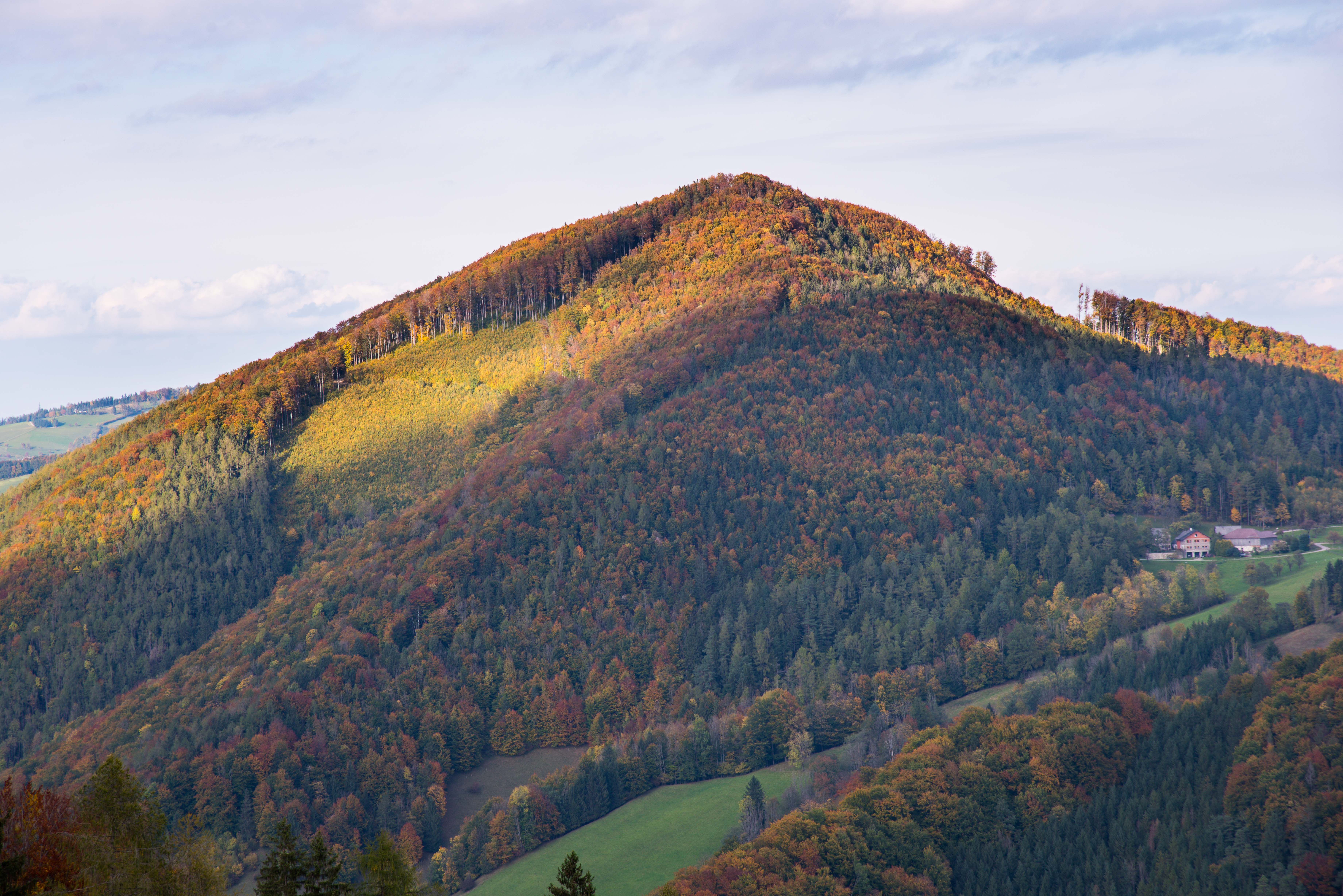
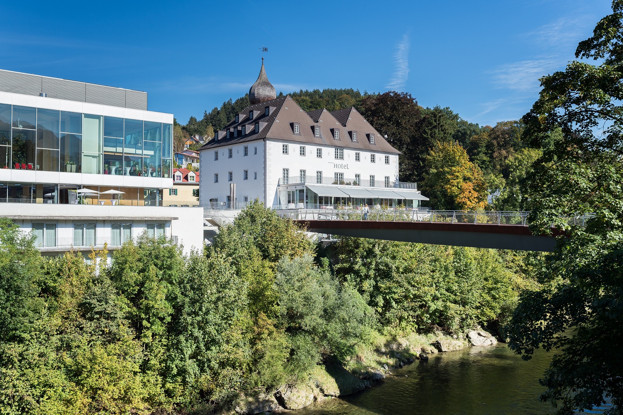
 Historic site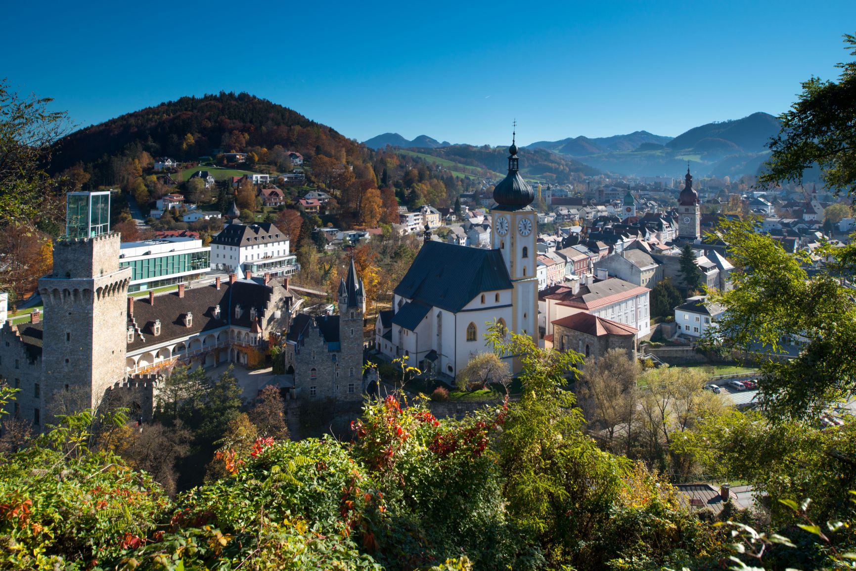
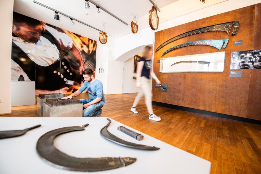



















Curated by Ybbstaler Alpen
Opponitz
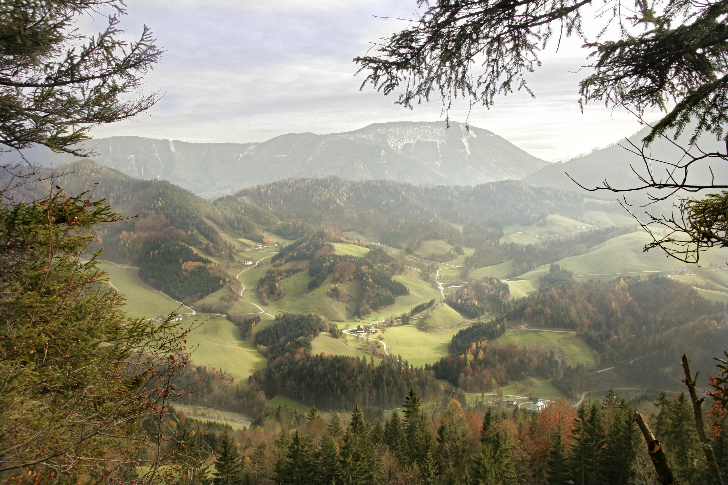
A single village on the Ybbs at about 420 m, where the valley road climbs from Waidhofen toward Hollenstein between wooded limestone slopes.
- 15Highlights
- 38Routes
- Featured summit · Alpl
Highlights
All 15 from neighbouring places
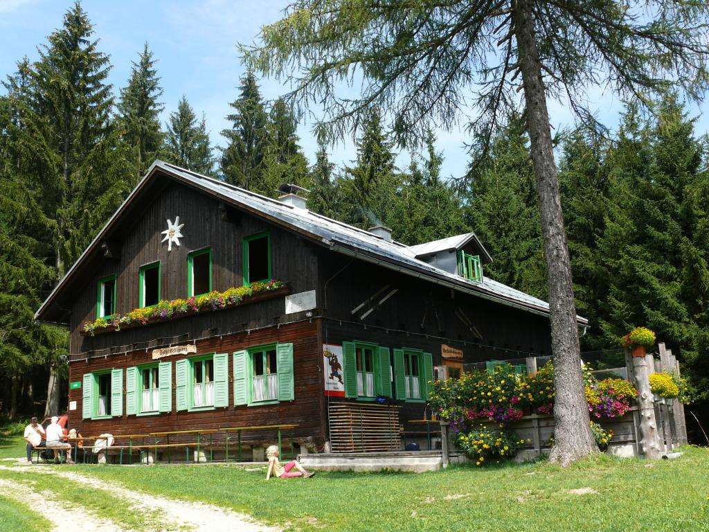
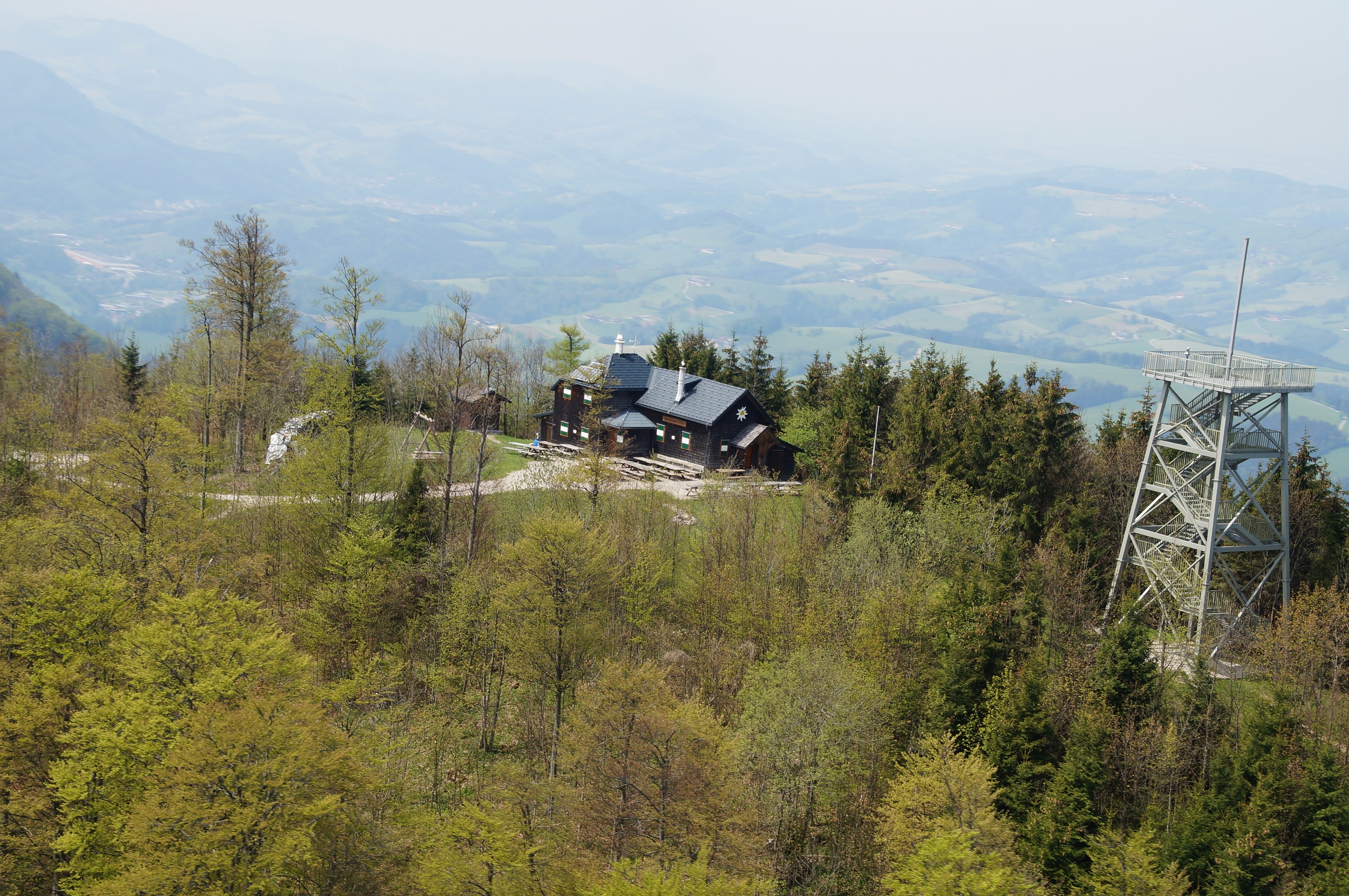
Amstettner Hütte
3.7 km away, in Waidhofen an der Ybbs
A mountain hut in the Ybbstal Alps south of Waidhofen an der Ybbs, run by the alpine club section from Amstetten.
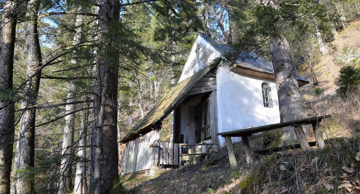
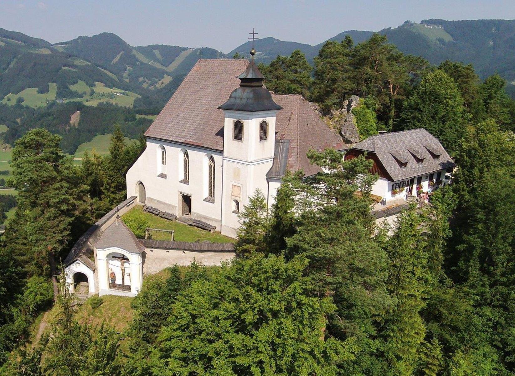
Jörgl-Kapelle
7.4 km away, in St. Georgen am Reith
A small chapel at St. Georgen am Reith in the upper Ybbs valley, in the hills of the Ybbstal Alps.
Naturpark NÖ Eisenwurzen
8 km away, in Hollenstein an der Ybbs
A nature park in the Eisenwurzen around Hollenstein an der Ybbs, with gorges, karst springs and walks through old iron-working country.
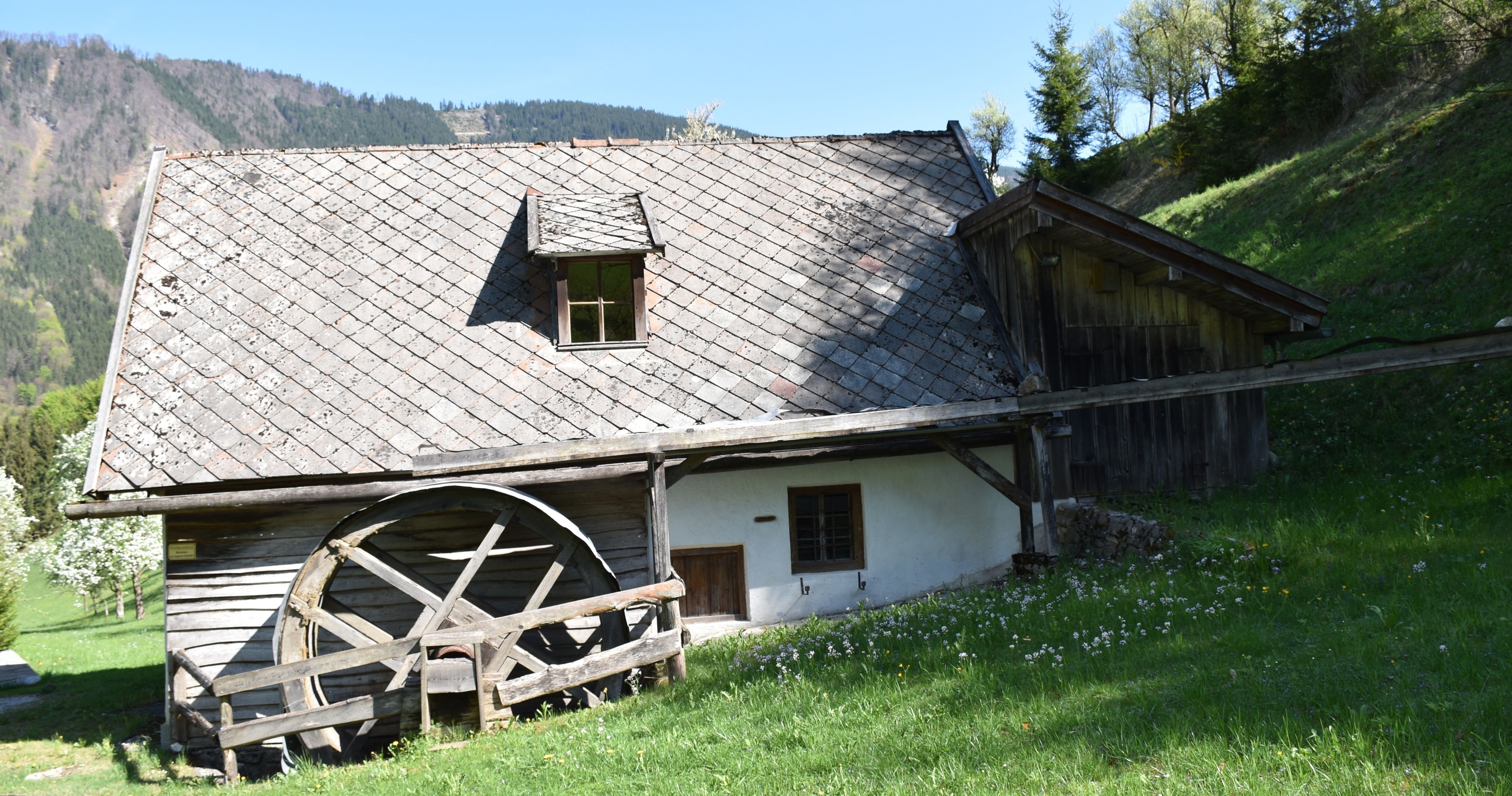
Gugermühle
8.6 km away, in Hollenstein an der Ybbs
A former mill at Hollenstein an der Ybbs, kept as a reminder of the water-powered trades of the Ybbs valley.
Sebalduskirche
8.6 km away, in Gaflenz
The Sebaldus church at Gaflenz, on the Sebaldusweg pilgrim path, with a view into the nave from the rear porch.
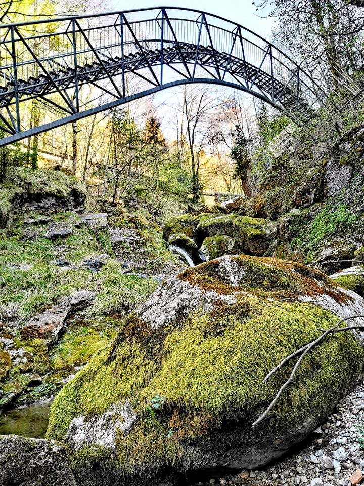
Erlebnisbrücke Ybbsitz
9 km away, in Ybbsitz
A footbridge across the Ybbs at Ybbsitz, laid out as a short walk with views down to the water.
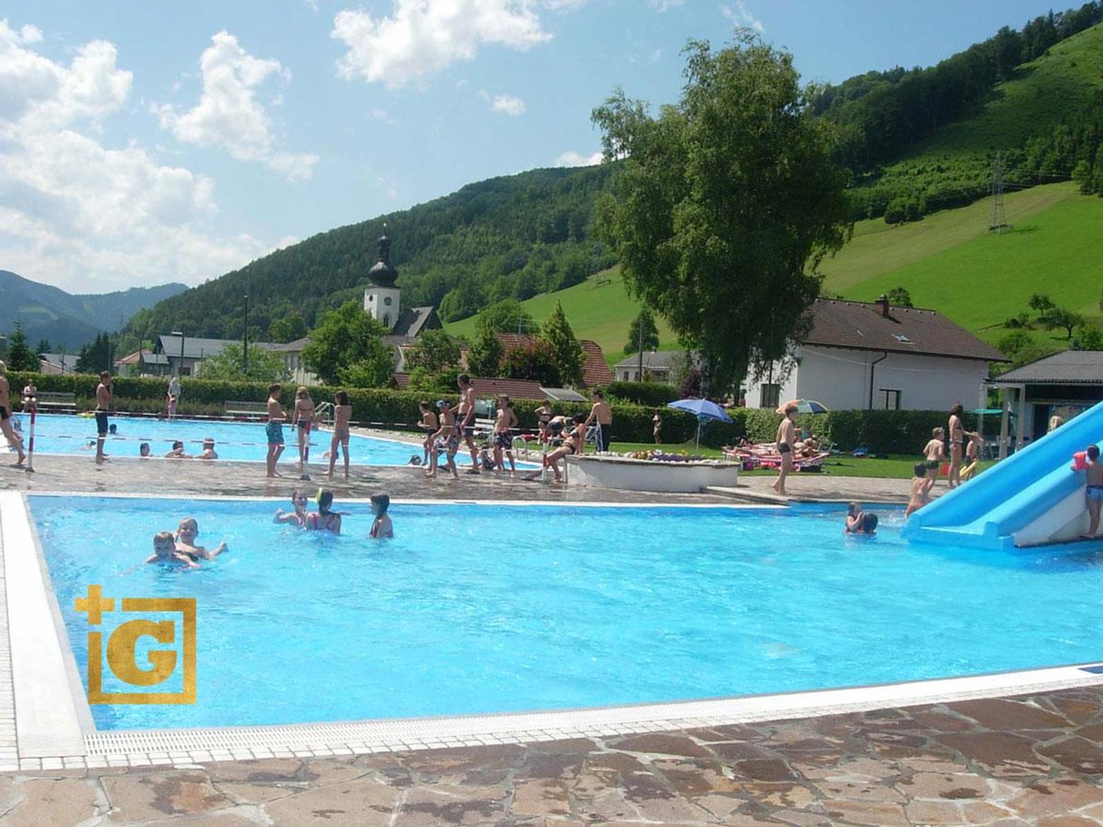
Freibad Ybbsitz mit Zugang zur Kleinen Ybbs
9.6 km away, in Ybbsitz
The open-air pool of Ybbsitz, with direct access to the Kleine Ybbs for swimming in the river.
Aussichtswarte Prochenberg
10 km away, in Ybbsitz
A lookout tower on the Prochenberg above Ybbsitz, reached on foot and giving views over the Ybbstal Alps.
Naturpark Ybbstal
10.1 km away, in Waidhofen an der Ybbs
A nature park along the Ybbs at Waidhofen, with riverside paths, meadows and a network of marked walks.
Das Schloss an der Eisenstrasse
10.3 km away, in Waidhofen an der Ybbs
The former Rothschild castle in Waidhofen an der Ybbs, remodelled by Friedrich von Schmidt and now housing the town's museum on the Iron Road.
Aussichtspunkt Krautberg
10.3 km away, in Waidhofen an der Ybbs
A viewing point on the Krautberg above Waidhofen an der Ybbs, looking over the town and the Ybbs valley.
5-Elemente-Museum
10.3 km away, in Waidhofen an der Ybbs
The town museum in the castle at Waidhofen an der Ybbs, arranged around five elements to tell the story of local iron working.
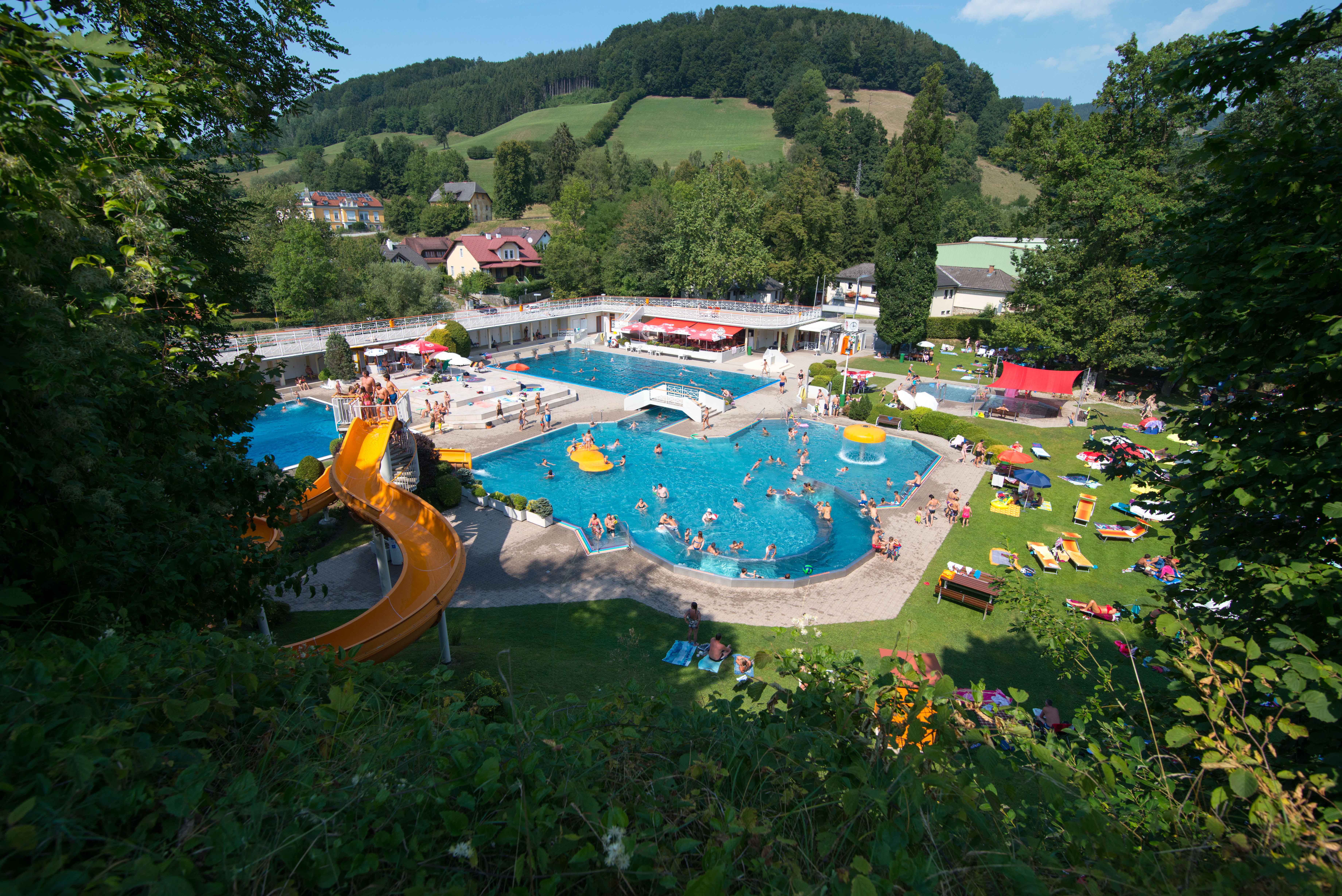
Parkbad Waidhofen an der Ybbs
10.4 km away, in Waidhofen an der Ybbs
The open-air pool of Waidhofen an der Ybbs, laid out in a park by the river with slides and lawns.
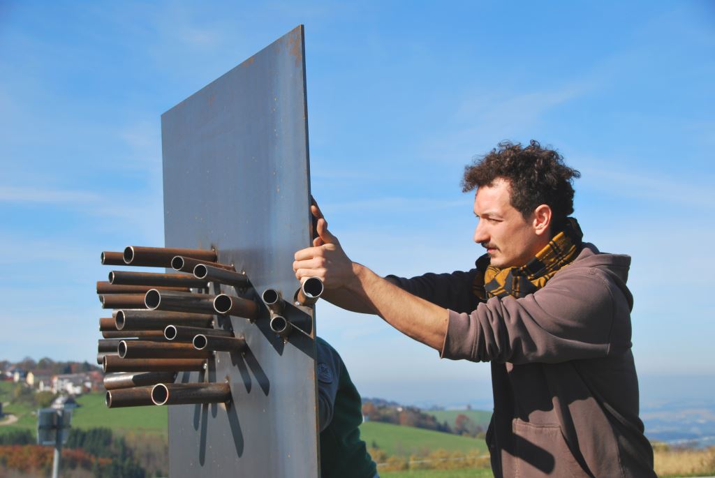
PanoramaGucker Ybbsitz-Hubberg
11.9 km away, in Ybbsitz
A framed viewing point on the Hubberg above Ybbsitz, one of the PanoramaGucker markers in the Ybbstal.
Nothing of this kind in Opponitz.
Routes
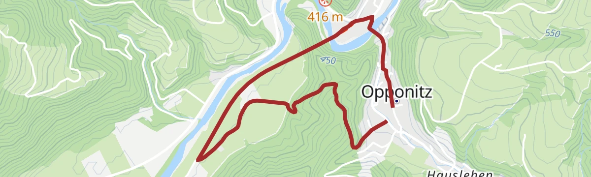
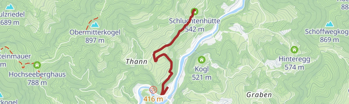
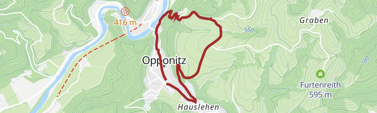
Opponitzer Schluchtenwanderweg
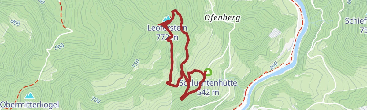
A 3.3 km gorge walk at Opponitz, climbing 209 m to the Leoferstein and passing the Schluchtenhütte.
- 3.3 km
- Distance
- 209 m
- Ascent
- 1 h 25 min
- Duration
- 1
- Check-ins
Via Trinitatis +
The extended version of the pilgrim route from the Trinity basilica on the Sonntagberg, with more than 700 m of climbing.
- 109.4 km
- Distance
- 716 m
- Ascent
- 27 h 21 min
- Duration
- 10
- Check-ins
Von Opponitz aufs Alpl und den Schneekogel
A 19.1 km mountain day from Opponitz over the Alpl to the Schneekogel, returning by way of the Bauernboden.
- 19.1 km
- Distance
- 141 m
- Ascent
- 4 h 49 min
- Duration
- 4
- Check-ins
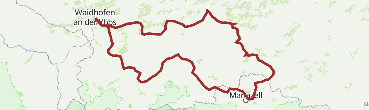
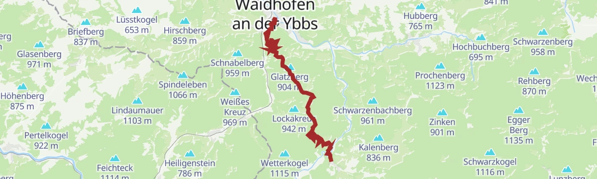
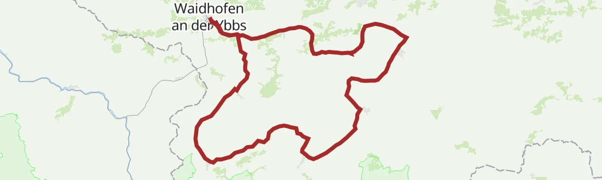
Rabenstadl-Tour
A 28 km round from Waidhofen an der Ybbs with 497 m of ascent, taking in the Schluchtenhütte, the Naturfreunde Bootshütte, the Holzerbauernkreuz and Senftenlehen.
- 28.0 km
- Distance
- 497 m
- Ascent
- 2 h 57 min
- Duration
- 1
- Check-ins
Mariazeller Runde über Hubertussee
A short pilgrim-route circuit near Mariazell taking in the Hubertussee in the Walstertal, with under 200 m of climbing.
- 164.9 km
- Distance
- 182 m
- Ascent
- 14 h 47 min
- Duration
- 1
- Check-ins
Kleines Ybbstal ganz groß
A route through the side valleys above Hollenstein an der Ybbs, climbing some 750 m out of the valley floor.
- 56.4 km
- Distance
- 752 m
- Ascent
- 5 h 43 min
- Duration
Von Waidhofen auf das Hochkar
A demanding link from the Ybbs valley up to the Hochkar, the highest ski mountain in the Mostviertel, with more than 900 m of climbing.
- 106.8 km
- Distance
- 913 m
- Ascent
- 10 h 20 min
- Duration
- 18
- Check-ins
Bureckweg
A 3.4 km easy walk at Opponitz with 79 m of ascent, out to the Bureck and back.
- 3.4 km
- Distance
- 79 m
- Ascent
- 59 min
- Duration
Opponitz
A 13 km round from the village with 799 m of ascent over the Hirschkogel and the Scheuchensteinmauer, calling at the Hochseeberghaus and the Amstettner Hütte.
- 13.0 km
- Distance
- 799 m
- Ascent
- 5 h 30 min
- Duration
- 1
- Check-ins
Via Trinitatis 3. Etappe: Opponitz
The Opponitz day of the Via Trinitatis pilgrim route, a demanding stage with more than 900 m of climbing in the Ybbstal hills.
- 19.2 km
- Distance
- 952 m
- Ascent
- 6 h 59 min
- Duration
- 1
- Check-ins
Alte Eisenstraße-Strecke
A 23 km mountain-bike route along the old iron road at Ybbsitz, over the Königsstein by Gstadt and Prolling.
- 23.0 km
- Distance
- 330 m
- Ascent
- 2 h 21 min
- Duration
Zellerrainrunde
A round in the pass country of the Zellerrain between the Ybbstal and Mariazell, with close to 900 m of climbing.
- 171.7 km
- Distance
- 884 m
- Ascent
- 16 h 3 min
- Duration
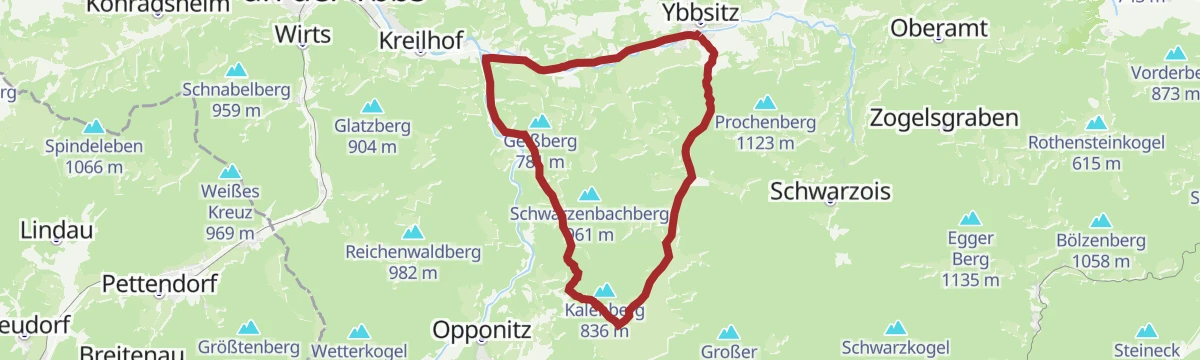
Eiserne Wallfahrtstour
A ride from Opponitz downstream to Gstadt and on by the lesser Ybbstal path to Ybbsitz.
- 37.0 km
- Distance
- 350 m
- Ascent
- 3 h 37 min
- Duration
Der Rudi-Kefer-Weg
A 4.9 km path at Opponitz past Vorder- and Hinterstockreith to the Schluchtenhütte, with 160 m of ascent.
- 4.9 km
- Distance
- 160 m
- Ascent
- 1 h 32 min
- Duration
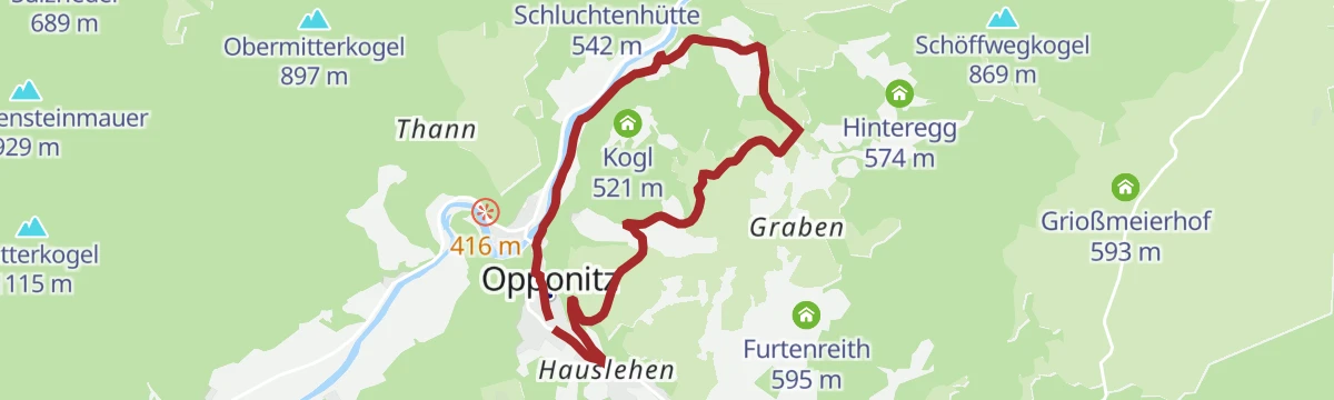
Grabenrundweg über Rodelhütte
A 7.1 km circuit up the Graben at Opponitz to the Rodelhütte, with 214 m of ascent.
- 7.1 km
- Distance
- 214 m
- Ascent
- 2 h 11 min
- Duration
4 Sebaldustour Maria Seesal-Runde
A longer walking circuit in the hills around Gaflenz, marked as part of the village's numbered series of loop routes in Oberösterreich.
- 70.5 km
- Distance
- 1 034 m
- Ascent
- 19 h 4 min
- Duration
Hammerherrentour
A 25.8 km round through the forging country around Ybbsitz, over the Königsstein and past the Prollinger Säg, with 492 m of ascent.
- 25.8 km
- Distance
- 492 m
- Ascent
- 2 h 45 min
- Duration
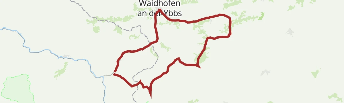
Klassische Saurüsselrunde
A road round from Waidhofen upstream along the Ybbs, the first hour almost level in the valley.
- 49.5 km
- Distance
- 390 m
- Ascent
- 4 h 45 min
- Duration
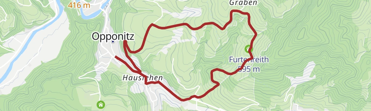
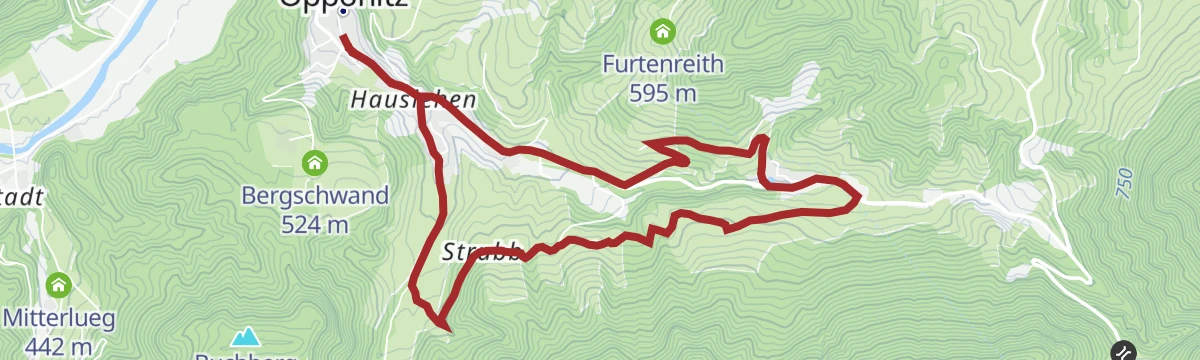
Furtenreith Rundweg
A 5.3 km loop from Opponitz up to Furtenreith, with 193 m of ascent.
- 5.3 km
- Distance
- 193 m
- Ascent
- 1 h 43 min
- Duration
Hochseeberg
A 10.2 km climb from Opponitz past Vorder- and Oberstockreith to the Hochseeberghaus, with 499 m of ascent.
- 10.2 km
- Distance
- 499 m
- Ascent
- 3 h 41 min
- Duration
Klein aber oho
A round from St. Georgen am Reith opening with three kilometres up to the Große Kripp, then a steep drop.
- 36.2 km
- Distance
- 774 m
- Ascent
- 3 h 57 min
- Duration
Grabenrundweg
A 6.3 km circuit through the Graben at Opponitz, with 156 m of ascent.
- 6.3 km
- Distance
- 156 m
- Ascent
- 1 h 52 min
- Duration
Hochseeberg über Kleinriegel
A short, steep line to the Hochseeberghaus by way of the Kleinriegel: 369 m of ascent in 5.3 km from Opponitz.
- 5.3 km
- Distance
- 369 m
- Ascent
- 2 h 28 min
- Duration
Promaurunde
A long road route from Waidhofen up the Ybbs valley and through the gorge country beyond Hollenstein.
- 84.2 km
- Distance
- 972 m
- Ascent
- 8 h 23 min
- Duration
 Königsstein 492 m
 Mendlingpass 680 m
- Mendlingpass 686 m
 Herrenhaus Fischteich 637 m
- Herrenhaus Fischteich 638 m
 Jausenstation Herrenhaus 643 m
- +7
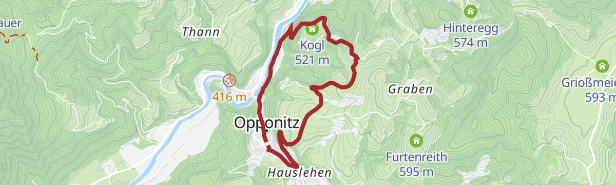
Kogelweg
A 4.9 km walk at Opponitz up to the Kogl, with 160 m of ascent on the way.
- 4.9 km
- Distance
- 160 m
- Ascent
- 1 h 32 min
- Duration
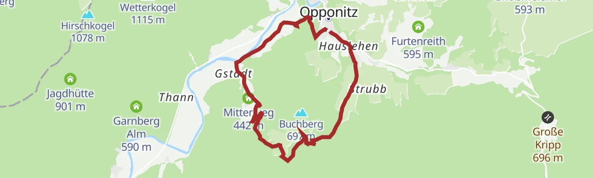
Lucken
An 8.4 km round at Opponitz with 353 m of ascent, passing Mitterlueg.
- 8.4 km
- Distance
- 353 m
- Ascent
- 2 h 50 min
- Duration
Saurüsselrunde über Breitenau
A road-bike loop from Waidhofen, running upstream along the Ybbs on gentle gradients before the climb over the ridge and the return.
- 46.7 km
- Distance
- 395 m
- Ascent
- 4 h 31 min
- Duration
Moltererweg
A 3.1 km walk on the slopes at Opponitz with 127 m of ascent, one of the shortest waymarked routes in the village.
- 3.1 km
- Distance
- 127 m
- Ascent
- 1 h 3 min
- Duration
Schwarzenbach
A 13.6 km round from Opponitz into the Schwarzenbach valley, with 436 m of ascent.
- 13.6 km
- Distance
- 436 m
- Ascent
- 4 h 15 min
- Duration
Saurüsselrunde über Gschnaidt und Konradsheim
A longer version of the same round from Waidhofen, taking in Gschnaidt and Konradsheim above the Ybbs.
- 54.8 km
- Distance
- 560 m
- Ascent
- 5 h 23 min
- Duration
Opponitzer Dorfrunde
A 6.3 km village round at Opponitz with 156 m of ascent, easy going close to the Ybbs.
- 6.3 km
- Distance
- 156 m
- Ascent
- 1 h 52 min
- Duration
Strubbweg
A 7.5 km waymarked route at Opponitz with 183 m of ascent, a moderate outing with no single big climb.
- 7.5 km
- Distance
- 183 m
- Ascent
- 2 h 13 min
- Duration
Waidhofner Marathonrunde
A long road circuit from Waidhofen into the Kleine Ybbs valley and on through Ybbsitz.
- 102.3 km
- Distance
- 852 m
- Ascent
- 9 h 53 min
- Duration
Via Trinitatis 2. Etappe: Ybbsitz
The Ybbsitz day of the Via Trinitatis pilgrim route, climbing nearly 600 m out of the Kleine Ybbs valley.
- 20.3 km
- Distance
- 587 m
- Ascent
- 6 h 12 min
- Duration
- Königsstein 492 m
- Grioßmeierhof 593 m
- Schmiedemeile Ybbsitz 413 m
- Prollinger Säg 508 m
- Goldfischteich 470 m
Ybbstalradweg
One of the Danube-to-Alps links in the Mostviertel, running from the mouth of the Ybbs 107 km up the valley to Lunz am See.
- 108.5 km
- Distance
- 734 m
- Ascent
- 10 h 19 min
- Duration
Zum heiligen Sebaldus
A ride from Opponitz upstream to Klein-Hollenstein, then a steady five percent pull toward St. Sebald.
- 49.9 km
- Distance
- 398 m
- Ascent
- 4 h 48 min
- Duration
Zwei kleine Kircherl
A round from Gaflenz by the Grioßmeierhof and Unterwenden, linking two small country churches.
- 55.2 km
- Distance
- 771 m
- Ascent
- 5 h 37 min
- Duration
Naturparke & Mendlingtal
A ride from Opponitz upstream to Hollenstein, then into the Sandgraben and over toward the Mendlingtal.
- 55.1 km
- Distance
- 728 m
- Ascent
- 5 h 35 min
- Duration
- Mendlingpass 680 m
- Mendlingpass 686 m
- Herrenhaus Fischteich 637 m
- Herrenhaus Fischteich 638 m
- Jausenstation Herrenhaus 643 m
- Promau 809 m
- +1
No routes of this kind in Opponitz yet.
The region's own picks
Featured route
Opponitzer Schluchtenwanderweg
A 3.3 km gorge walk at Opponitz, climbing 209 m to the Leoferstein and passing the Schluchtenhütte.
Planning a trip to Opponitz?
Everything else Lower Austria has, in one place


Take Opponitz with you into the mountains
Every route on this page with 3D terrain, GPX navigation and offline maps — including the valleys with no signal.
Data sources
- Official website: ybbstaler-alpen.at ↗
- Routes and highlights: Ybbstaler Alpen, 360alpenland, Mostviertel
- Published as open data by the tourist boards named above.
- Region summary generated from the board's own material.
