
Curated by Innsbruck Tourismus
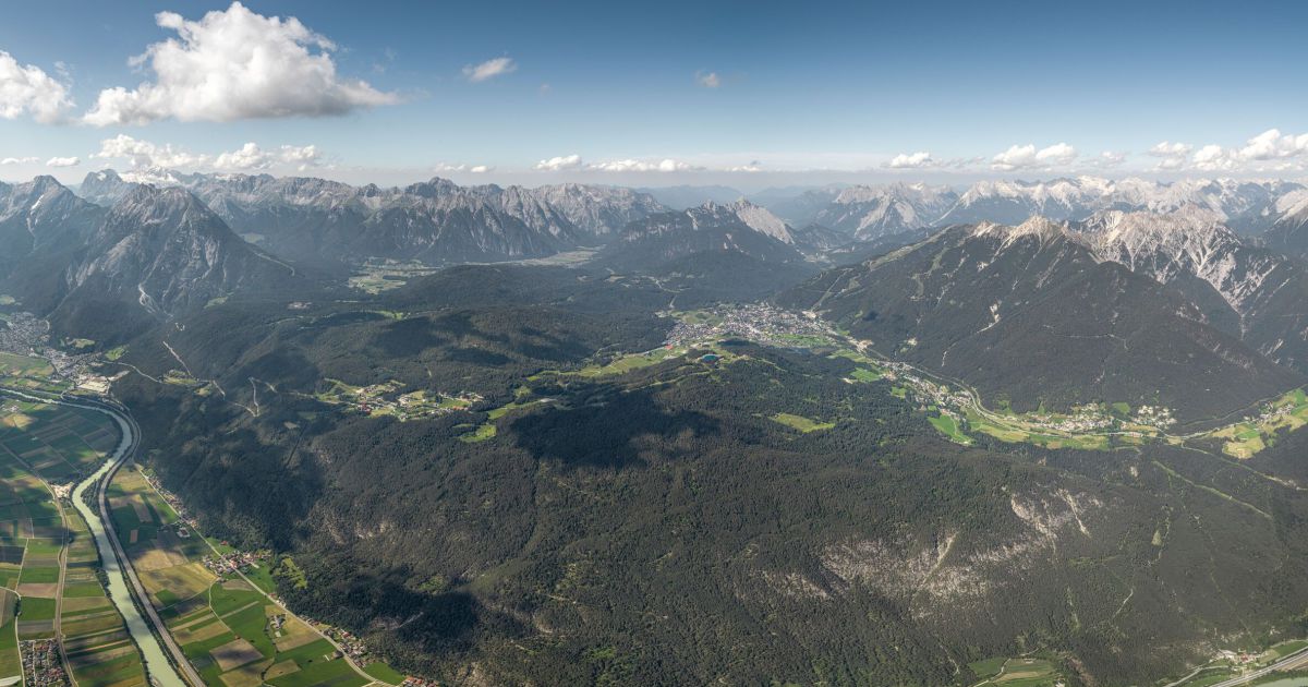
Oberhofen im Inntal
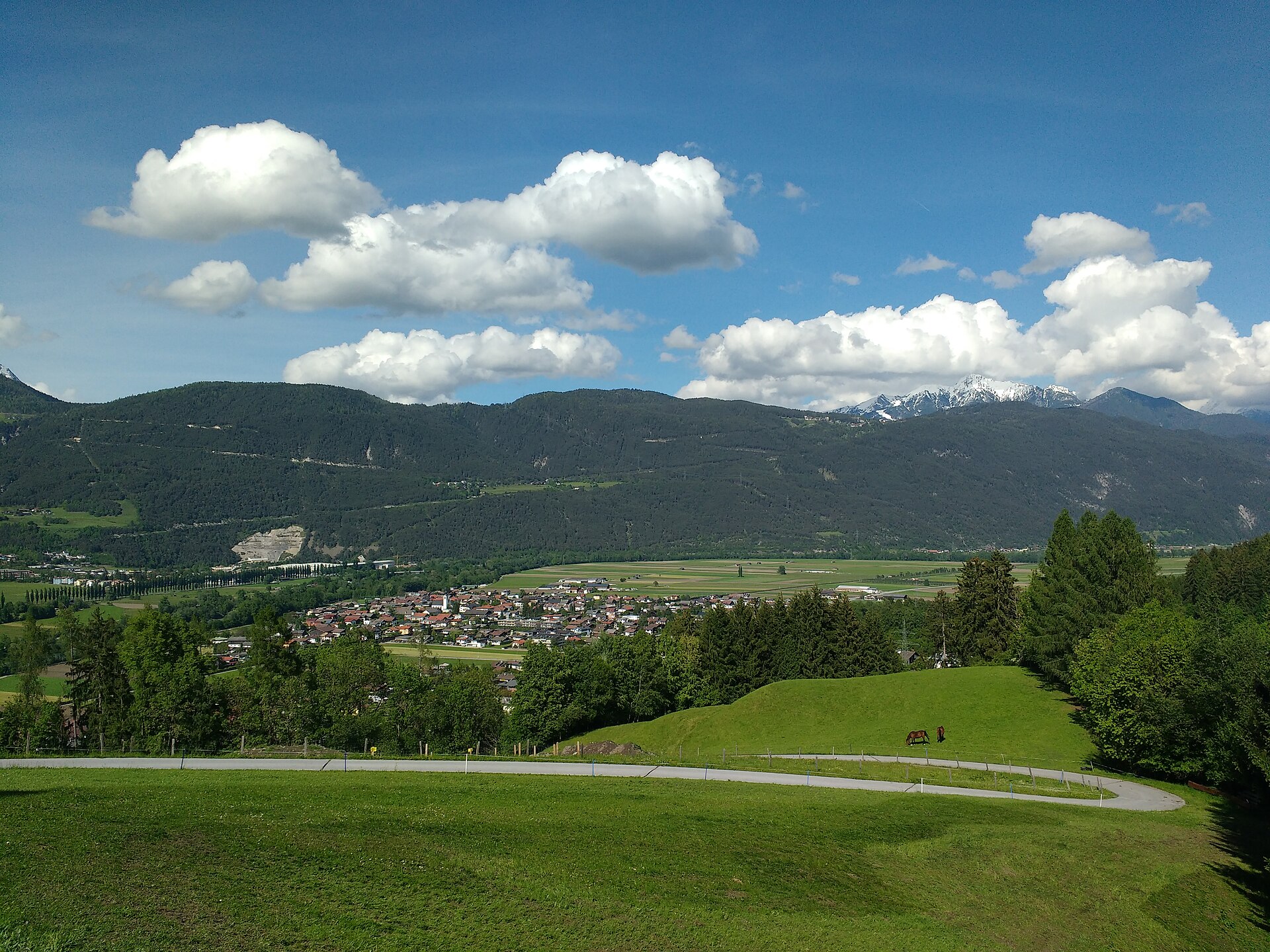
A farming village on the Inn valley floor near Telfs at 622 m, with a local heritage museum and the Oberhofer Melkalm on the pastures above.
- 15Highlights
- 11Routes
- Featured summit · Sonnkarköpfl
Highlights
All 15 from neighbouring places
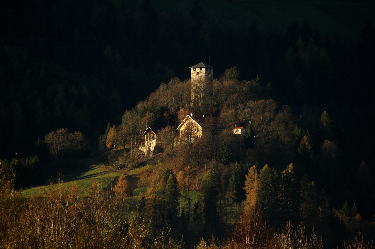
Ruine Hörtenberg
2.4 km away, in Pfaffenhofen
A medieval castle ruin above Pfaffenhofen (642 m) in the Inn valley west of Innsbruck, the remains of a former noble seat.
Fasnacht- und Heimatmuseum "Noaflhaus"
3.9 km away, in Telfs
A museum in the Noaflhaus in Telfs on local history and the Schleicherlaufen, the town's large traditional carnival procession.
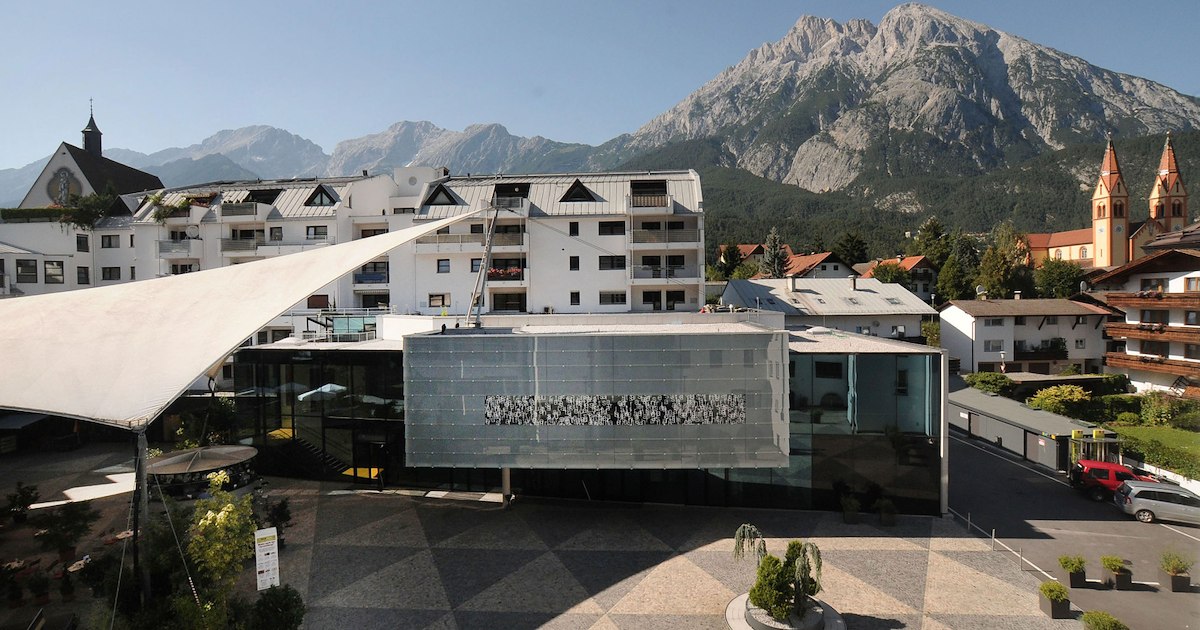
Rathaussaal Telfs
3.9 km away, in Telfs
The hall of the town hall in Telfs (634 m), used for concerts, theatre and civic events in the market town west of Innsbruck.
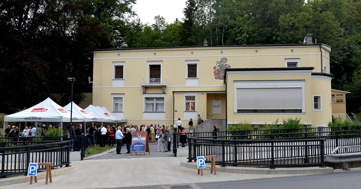
Villa Schindler
4.3 km away, in Telfs
A villa in Telfs (634 m) used today for exhibitions and cultural events, one of the market town's notable historic houses.
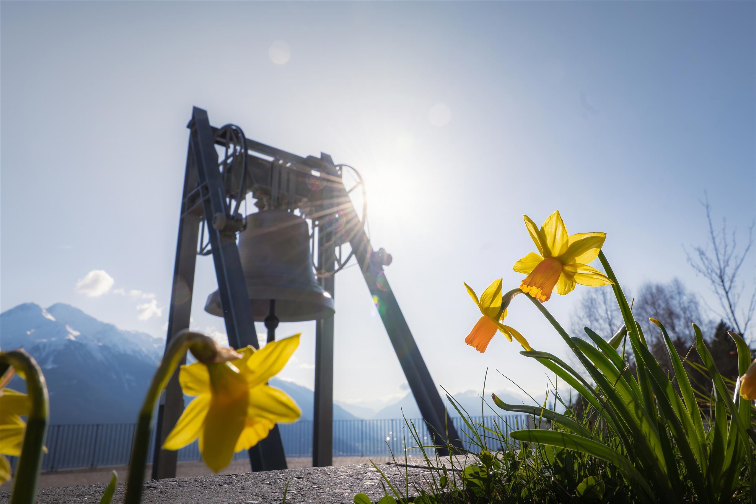
Die Friedensglocke
5.3 km away, in Telfs
The Peace Bell of Mösern, installed in 1997 above the Inn valley and rung daily as a sign of cross-border friendship in the Alps.
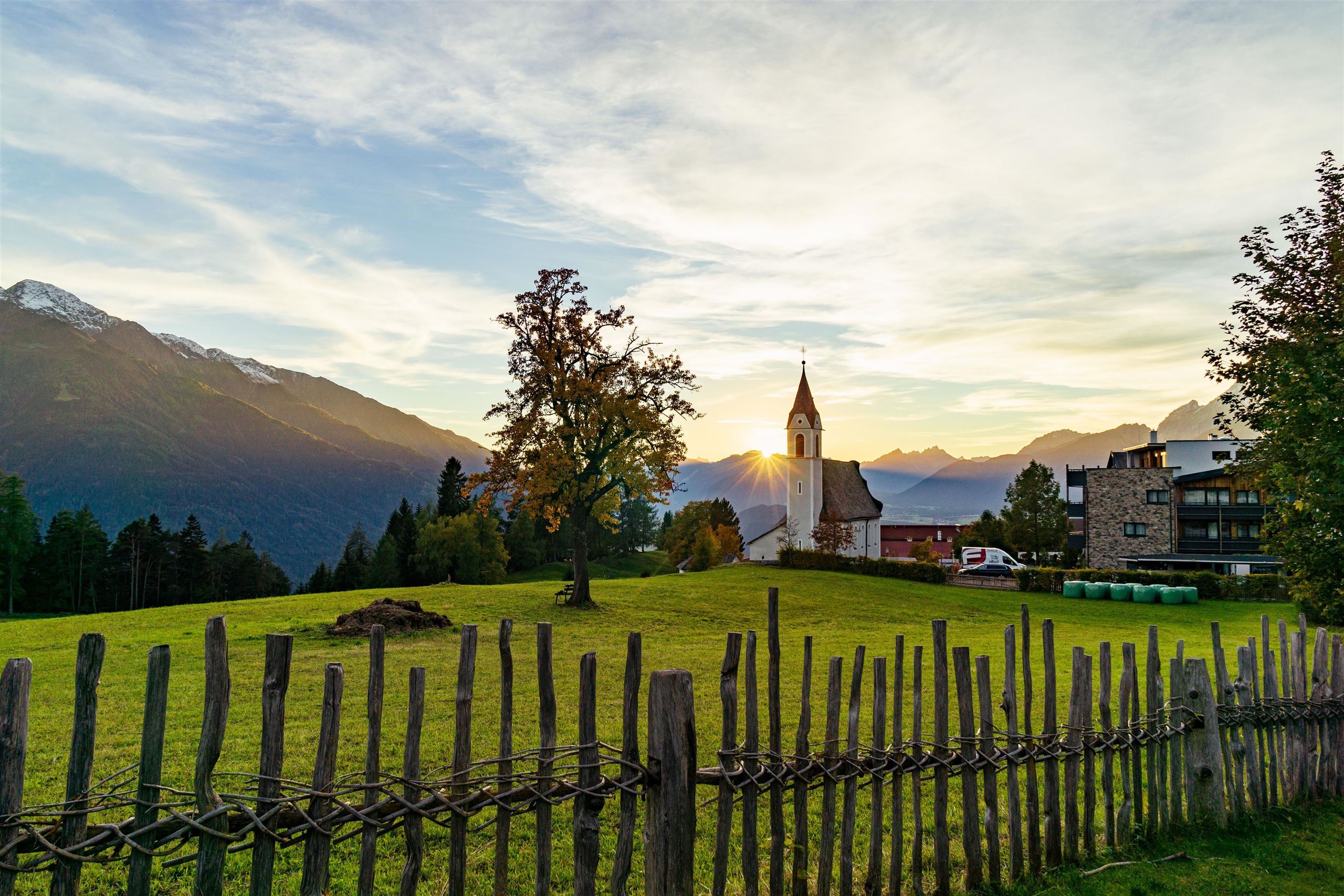
Pfarrkirche Maria Heimsuchung
5.7 km away, in Telfs
The parish church of Mösern, dedicated to the Visitation of Mary, serving the small village at 1,240 m above the Inn valley on the Seefeld plateau.
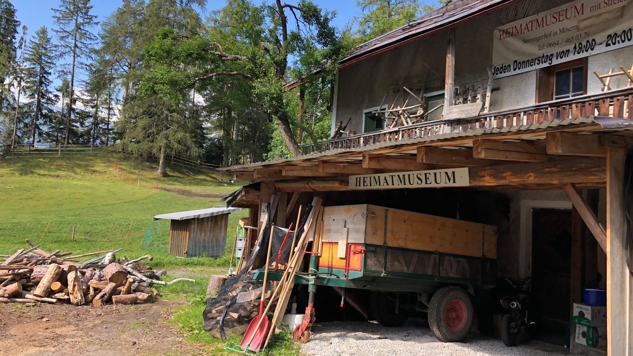
Heimatmuseum im Sterzingerhof
5.8 km away, in Telfs
A local heritage museum in the Sterzingerhof at Mösern, presenting everyday objects from the village's farming past.
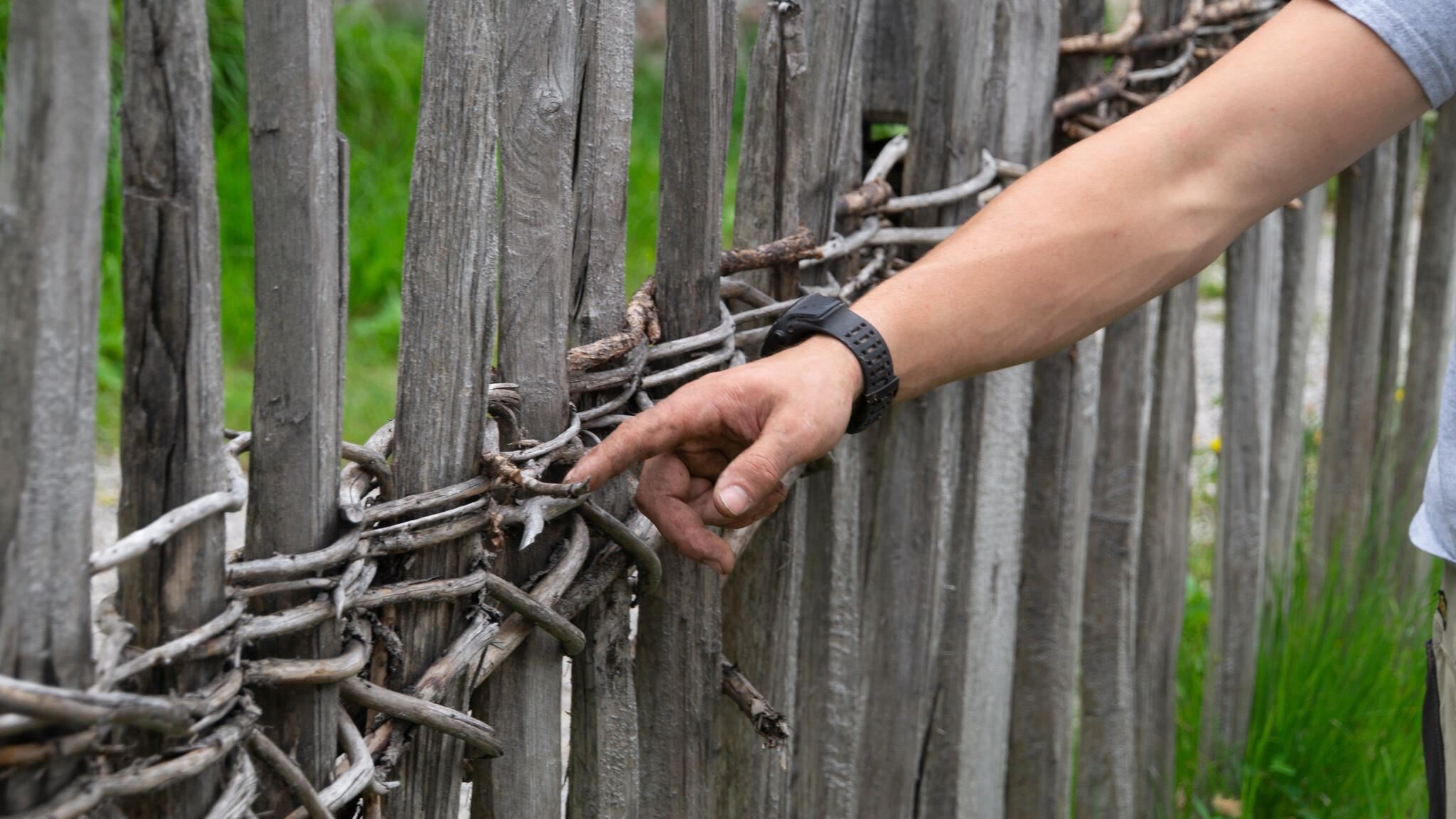
Historische Zäune
5.8 km away, in Telfs
Traditional wooden fences preserved around Mösern, showing historic Tyrolean fencing techniques along the meadows.
Kalvarienberg Mösern
5.8 km away, in Telfs
A calvary hill above Mösern at about 1,240 m, with stations of the cross leading up to a small chapel overlooking the Inn valley.
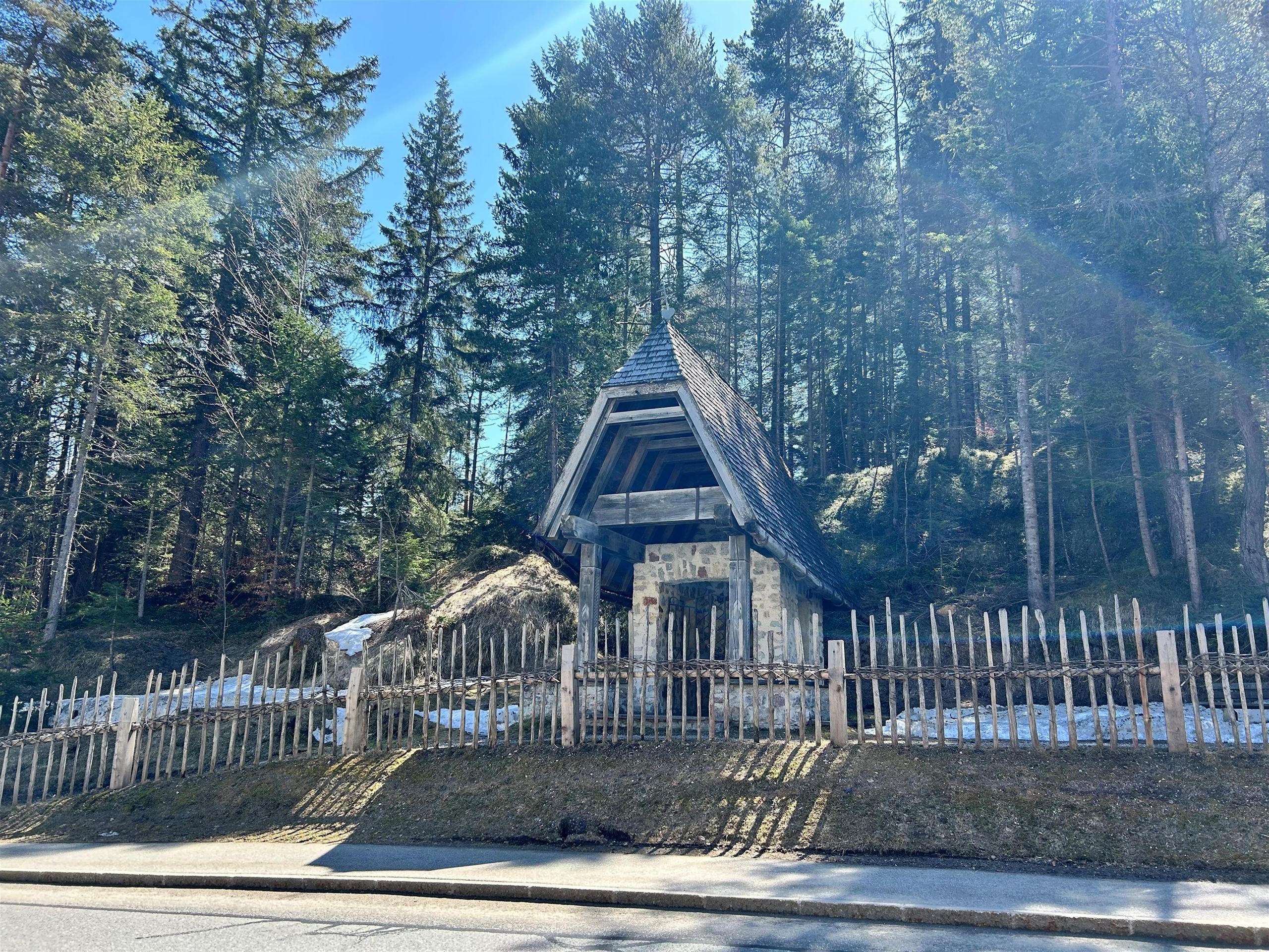
Gföll Kapelle oder Obere Möserer Kapelle
6.1 km away, in Telfs
A chapel at Gföll above Mösern, also called the Upper Möserer Kapelle, beside the old route across the sunny terrace.
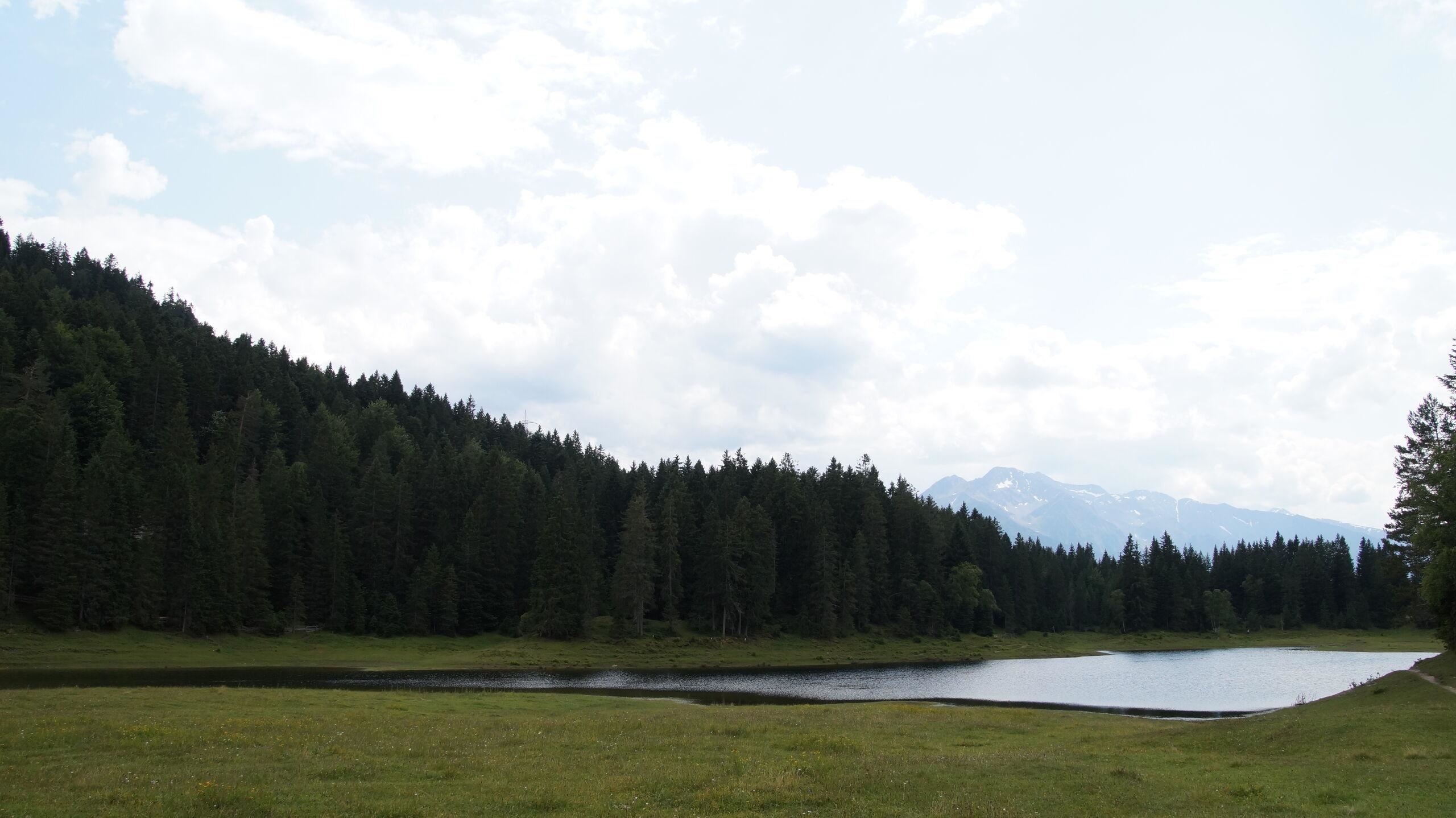
Lottensee - ein Naturphänomen
6.2 km away, in Telfs
A periodic lake near Wildmoos on the Seefeld plateau, appearing only when groundwater is high and sometimes staying dry for years.
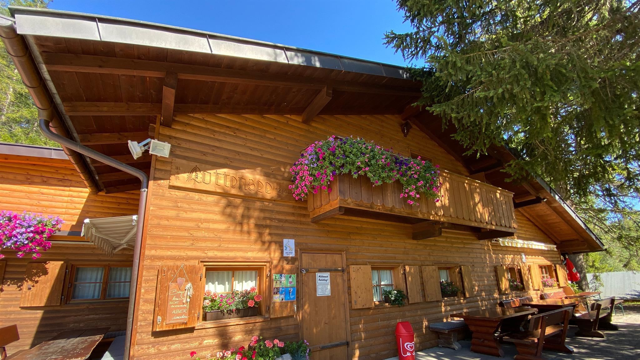
Lottenseehütte
6.2 km away, in Telfs
A hut by the Lottensee on the Wildmoos plateau near Seefeld, beside a shallow lake that periodically disappears.
Bergbauernmuseum beim Landgasthof Ropferstub'm
6.4 km away, in Telfs
A private museum of mountain farming at the Ropferstub'm inn south of the Seefeld plateau, showing old tools and rural household gear.
Ropferstub'm, Gasthof
6.4 km away, in Telfs
A country inn between Buchen and Telfs south of the Seefeld plateau, serving Tyrolean cooking with a small farming museum attached.
Seewaldalm
6.8 km away, in Telfs
An alm above Mösern near the Möserer See, serving pizza and snacks in the winter season on the wooded plateau.
 Historic site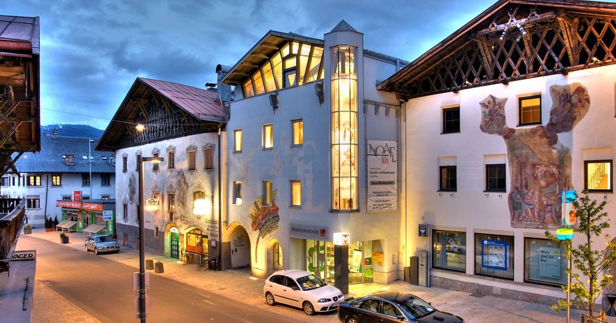
 Mountain hut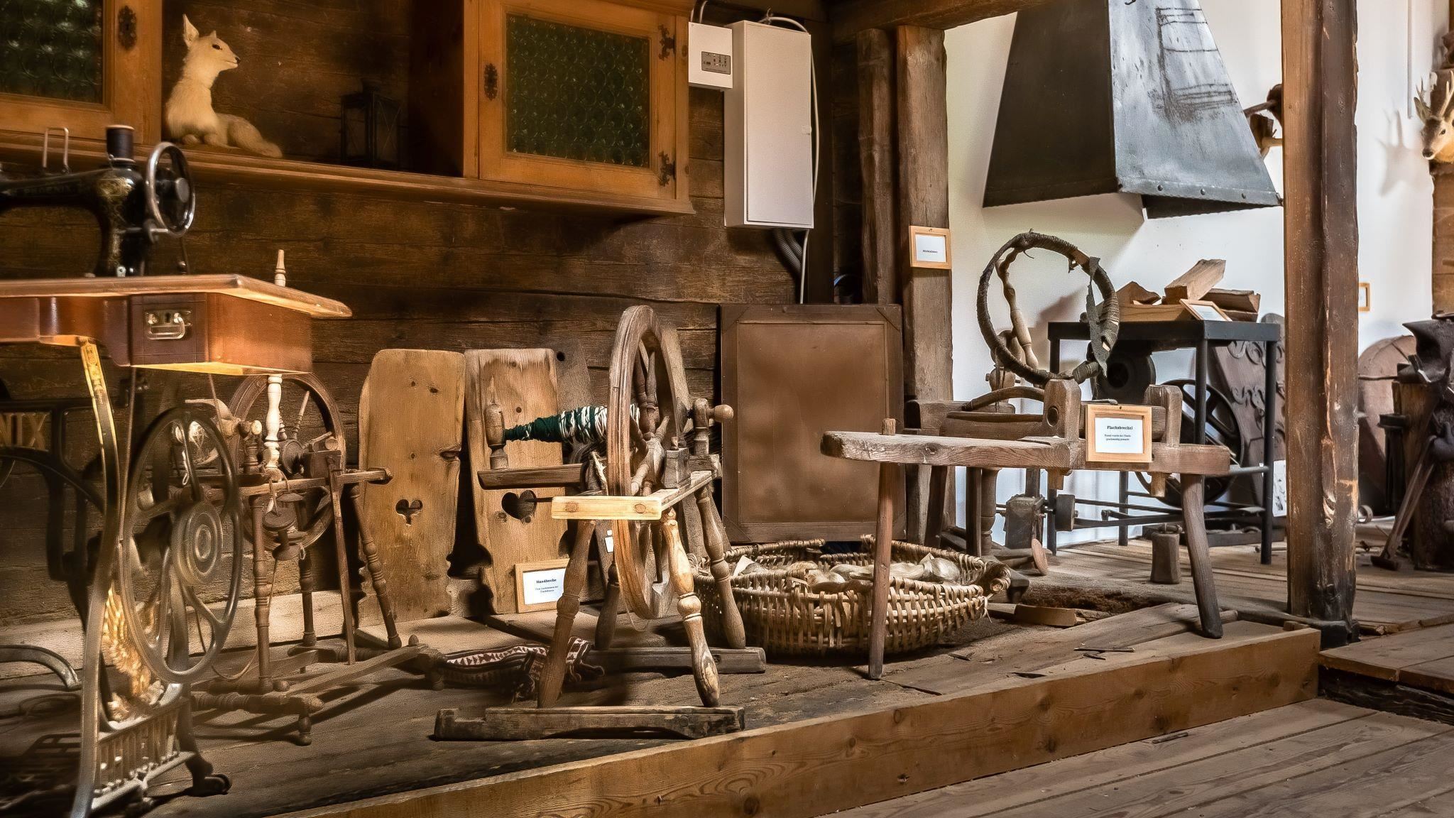
Nothing of this kind in Oberhofen im Inntal.
Routes
Gipfeltour: Sonnkarköpfl
Summit round above Oberhofen to the Sonnkarköpfl via the Pfaffenhofer Alm and Oberhofer Melkalm, with the Sonnkarhütte just below the top.
- 6.5 km
- Distance
- 758 m
- Ascent
- 4 h 32 min
- Duration
- 12
- Check-ins
Peter-Anich-Höhensteig
Big day-long traverse above Oberperfuss and Inzing over the Rauher Kopf, linking the Roßkogelhütte, Inzinger Alm and Peter-Anich-Hütte with more than 2,000 m of total climbing.
- 22.0 km
- Distance
- 2 114 m
- Ascent
- 13 h 7 min
- Duration
- 25
- Check-ins
Kohlerkapelle-Flaurlinger Alm (5055)
A forest-road climb out of the Inn valley near Oberhofen, gaining over 1,000 m to reach the Flaurlinger Alm at 1,614 m.
- 17.5 km
- Distance
- 1 030 m
- Ascent
- 2 h 44 min
- Duration
- 1
- Check-ins
Innsbruck - Mösern - Seefeld
A long road day from the Inn valley onto the plateau at Mösern, continuing through the Leutasch past the Seewaldalm and the Kreithalm.
- 88.7 km
- Distance
- 1 388 m
- Ascent
- 9 h 11 min
- Duration
- 34
- Check-ins
Oberhofer Höhenweg
Long high traverse linking the Oberhofer Melkalm, Zirmbach Alm and the Flaurlinger Scharte — nearly 20 km of flank walking between the Inntal and the Sellrain mountains.
- 20.3 km
- Distance
- 749 m
- Ascent
- 6 h 37 min
- Duration
- 5
- Check-ins
Von Innsbruck aufs Mieminger Plateau und retour
An 80 km out-and-back from Innsbruck down the Inn past Kranebitten and Hatting, then up onto the Mieminger Plateau.
- 79.5 km
- Distance
- 774 m
- Ascent
- 7 h 47 min
- Duration
- 6
- Check-ins
Oberhofen - Oberhofer Melkalm
Full-day forest and alm round from Oberhofen up to the Melkalm, a quiet climb of about 1,000 m on the sunny side of the Inntal with long valley views.
- 18.6 km
- Distance
- 1 038 m
- Ascent
- 7 h 21 min
- Duration
- 4
- Check-ins
Dörferrunde von Innsbruck nach Telfs
A village-to-village road tour down the Inn valley from Innsbruck to Telfs, past Kranebitten and the Schleicherplatten climbing crag.
- 68.3 km
- Distance
- 789 m
- Ascent
- 6 h 48 min
- Duration
- 4
- Check-ins
Peter-Anich-Weg
Long mid-mountain traverse in the footsteps of the cartographer Peter Anich, running high above the Inn valley villages for 21 km with modest overall climbing.
- 21.3 km
- Distance
- 676 m
- Ascent
- 6 h 39 min
- Duration
Innradweg
Ninety-seven kilometres of near-level cycle path along the Inn, from Mötz past Telfs and Innsbruck down to Rotholz.
- 86.9 km
- Distance
- 245 m
- Ascent
- 7 h 56 min
- Duration
- 2
- Check-ins
Genuss-Radweg Inntal
A valley cycle path along the Inn between Innsbruck and Mötz, running through Hatting, Telfs and Stams on the flat valley floor.
- 110.0 km
- Distance
- 607 m
- Ascent
- 10 h 19 min
- Duration


No routes of this kind in Oberhofen im Inntal yet.
The region's own picks

Featured route
Gipfeltour: Sonnkarköpfl
Summit round above Oberhofen to the Sonnkarköpfl via the Pfaffenhofer Alm and Oberhofer Melkalm, with the Sonnkarhütte just below the top.
Planning a trip to Oberhofen im Inntal?
Everything else Tyrol has, in one place


Take Oberhofen im Inntal with you into the mountains
Every route on this page with 3D terrain, GPX navigation and offline maps — including the valleys with no signal.
Data sources
- Official website: innsbruck.info ↗
- Routes and highlights: Innsbruck Tourismus, Region Seefeld
- Published as open data by the tourist boards named above.
- Region summary generated from the board's own material.
