
 Historic site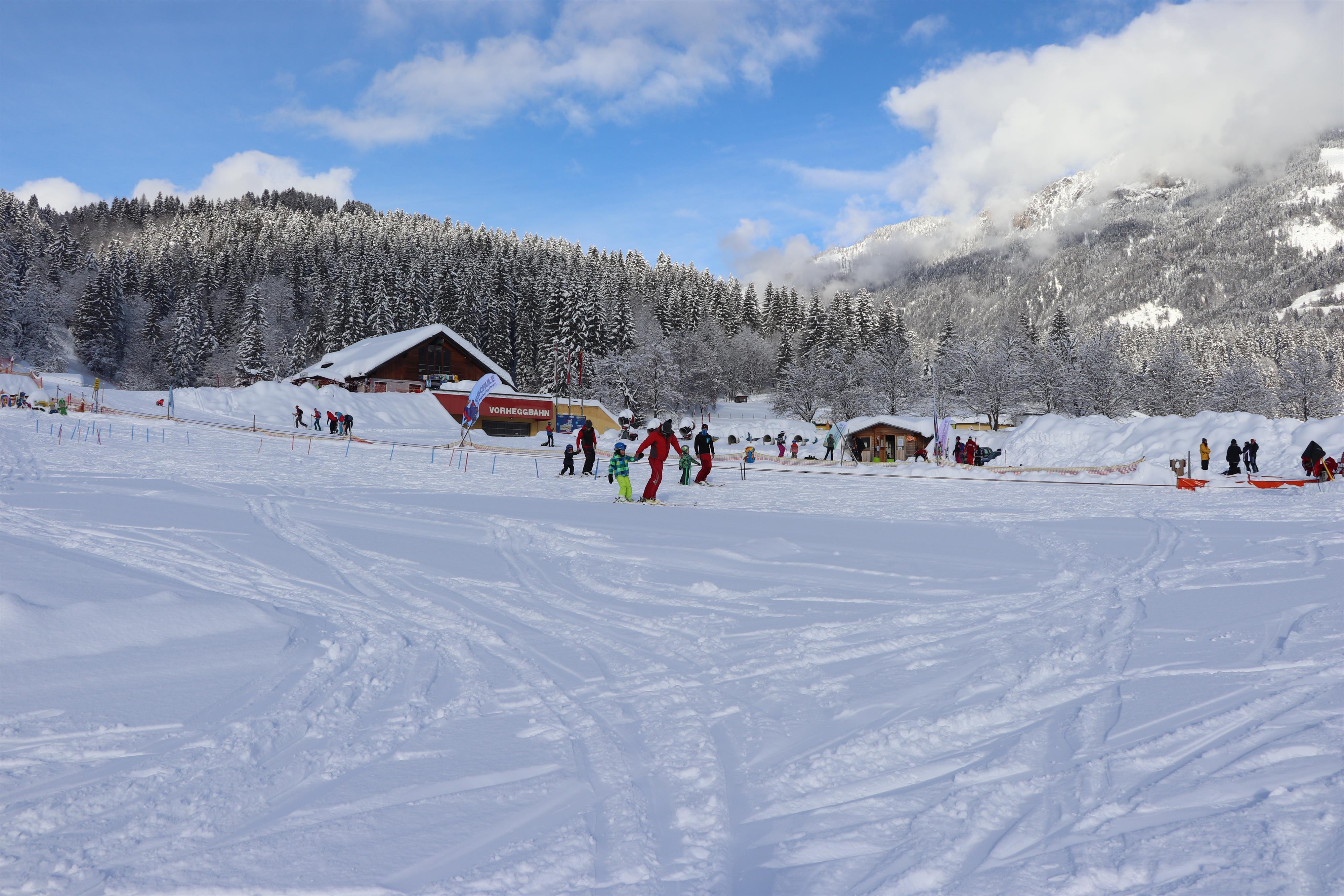
 Cable car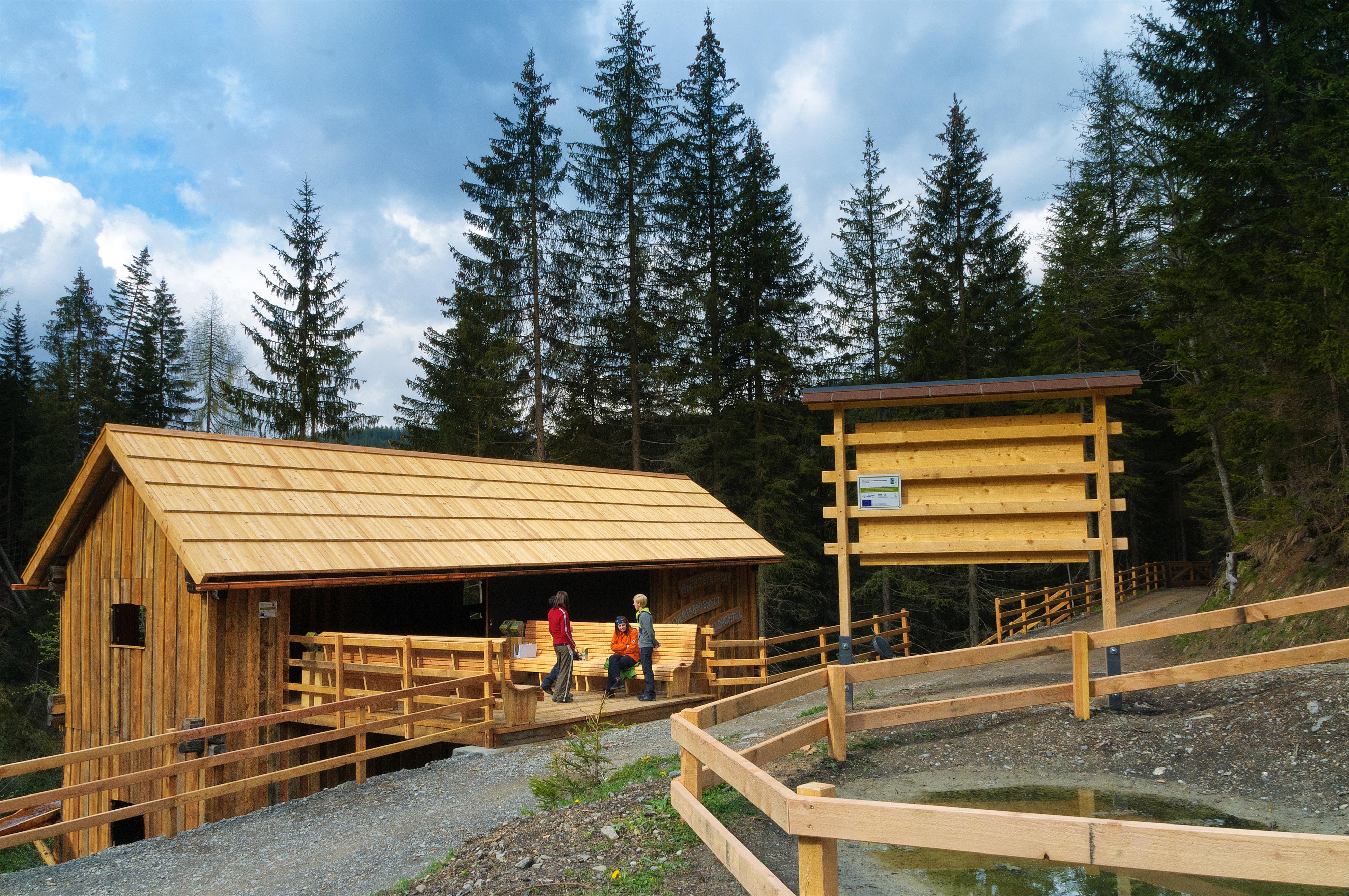

 Via ferrata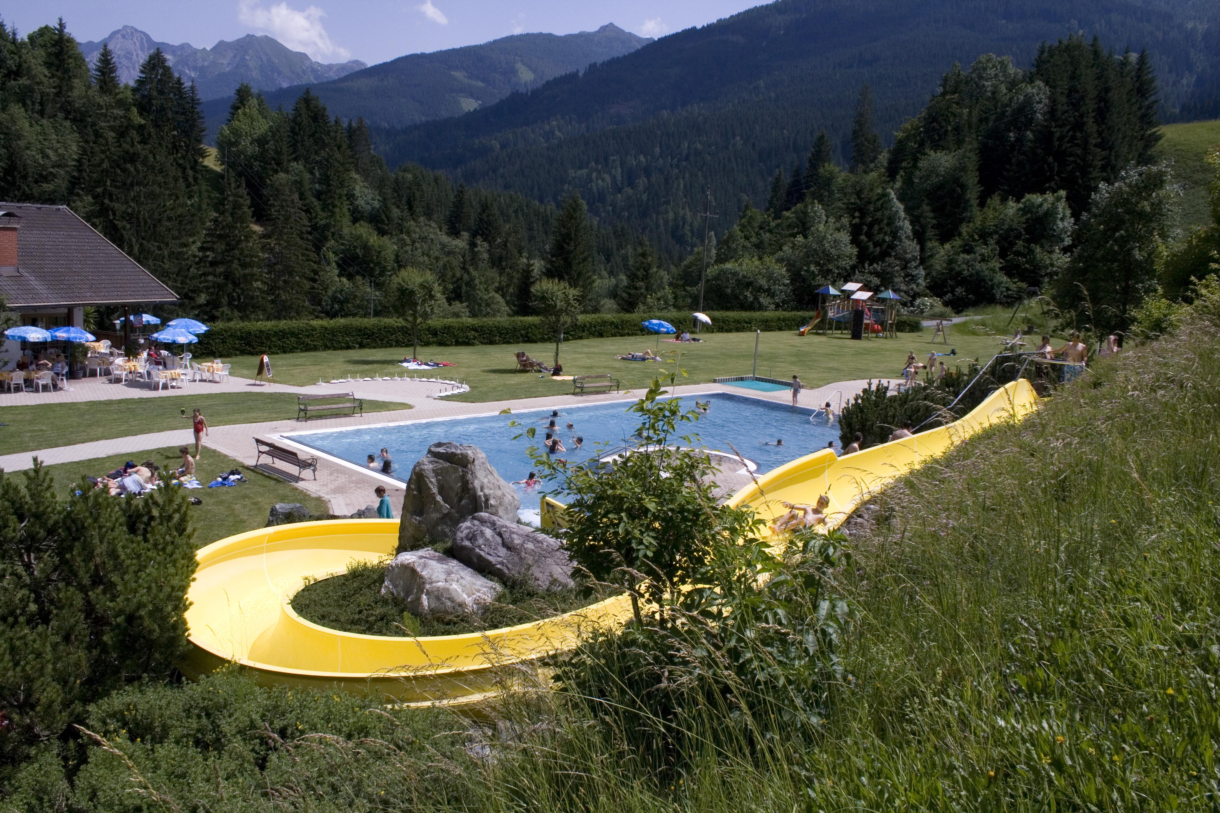
 Mountain hut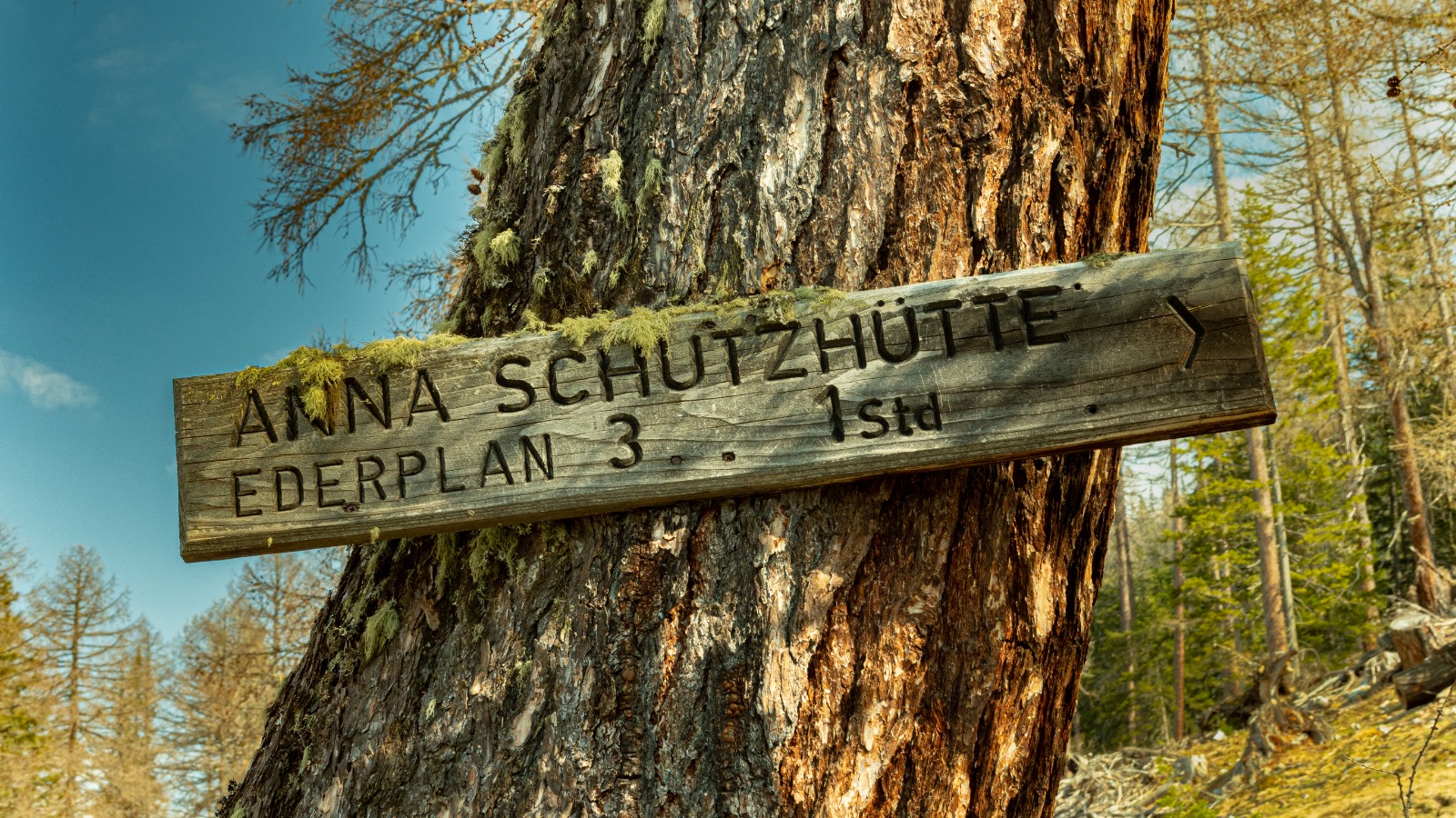





Curated by Osttirol Tourismus
Oberdrauburg
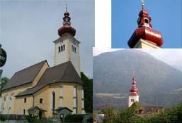
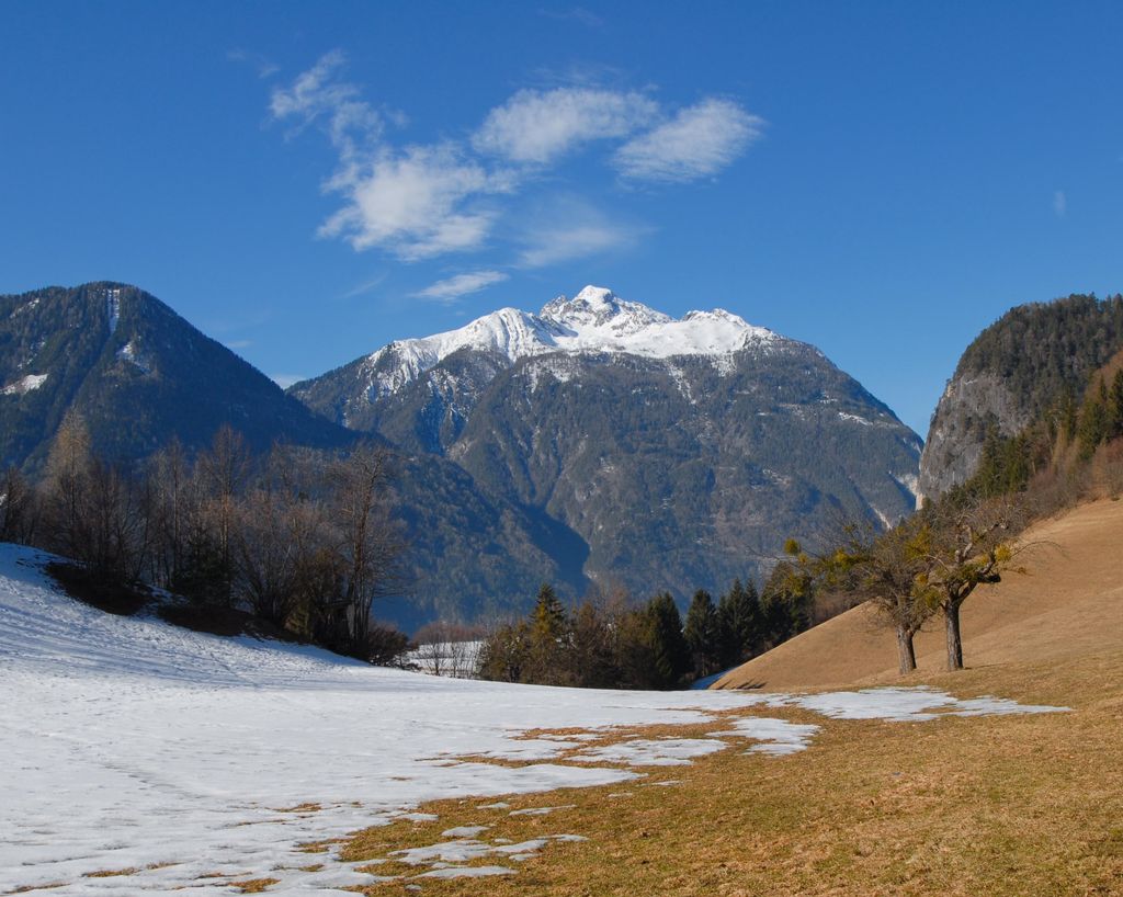
The last Kärnten market town in the Drautal before the Tirol border, squeezed between the Gailtal Alps and the Hochstadel wall of the Lienzer Dolomiten.
- 15Highlights
- 5Routes
- Featured summit · Hochstadel
Highlights
All 15 from neighbouring places
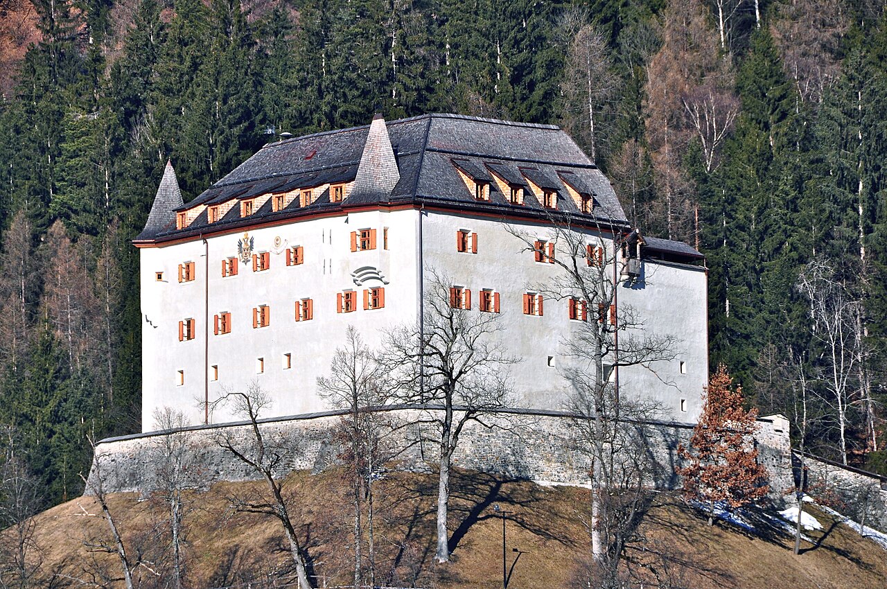
Schloss Lengberg
5.7 km away, in Nikolsdorf
A medieval hilltop castle at Nikolsdorf in the Drau valley, known for excavations that uncovered rare 15th-century textiles.
Bergbahnen Kötschach-Mauthen
10 km away, in Kötschach-Mauthen
The lifts above Kötschach-Mauthen in the upper Gailtal.
Abenteuer- und Walderlebniswelt Lesachtal
10.3 km away, in Lesachtal
A forest adventure world in the Lesachtal, with climbing and play stations among the trees.
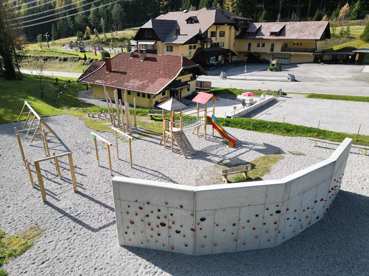
Bergerlebnis Bewegungsgarten Kötschach-Mauthen
10.6 km away, in Kötschach-Mauthen
An activity park above Kötschach-Mauthen with a children's movement garden, a bouldering course, an outdoor gym and a terrace.
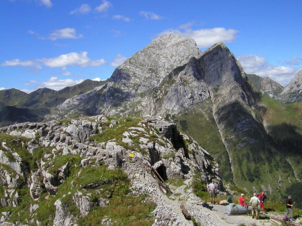
Freilichtmuseum d. Gebirgskrieges
10.6 km away, in Kötschach-Mauthen
An open-air museum of the mountain war of 1915-18 above Kötschach-Mauthen, in several unfenced sectors on the old front line; entry is free and at one's own risk.
Bergsport Südalpen
11 km away, in Kötschach-Mauthen
A mountain-sport guiding outfit in the Villach region of Carinthia, offering climbing, via ferrata tours and snowshoe walks in the southern Alps near Finkenstein.
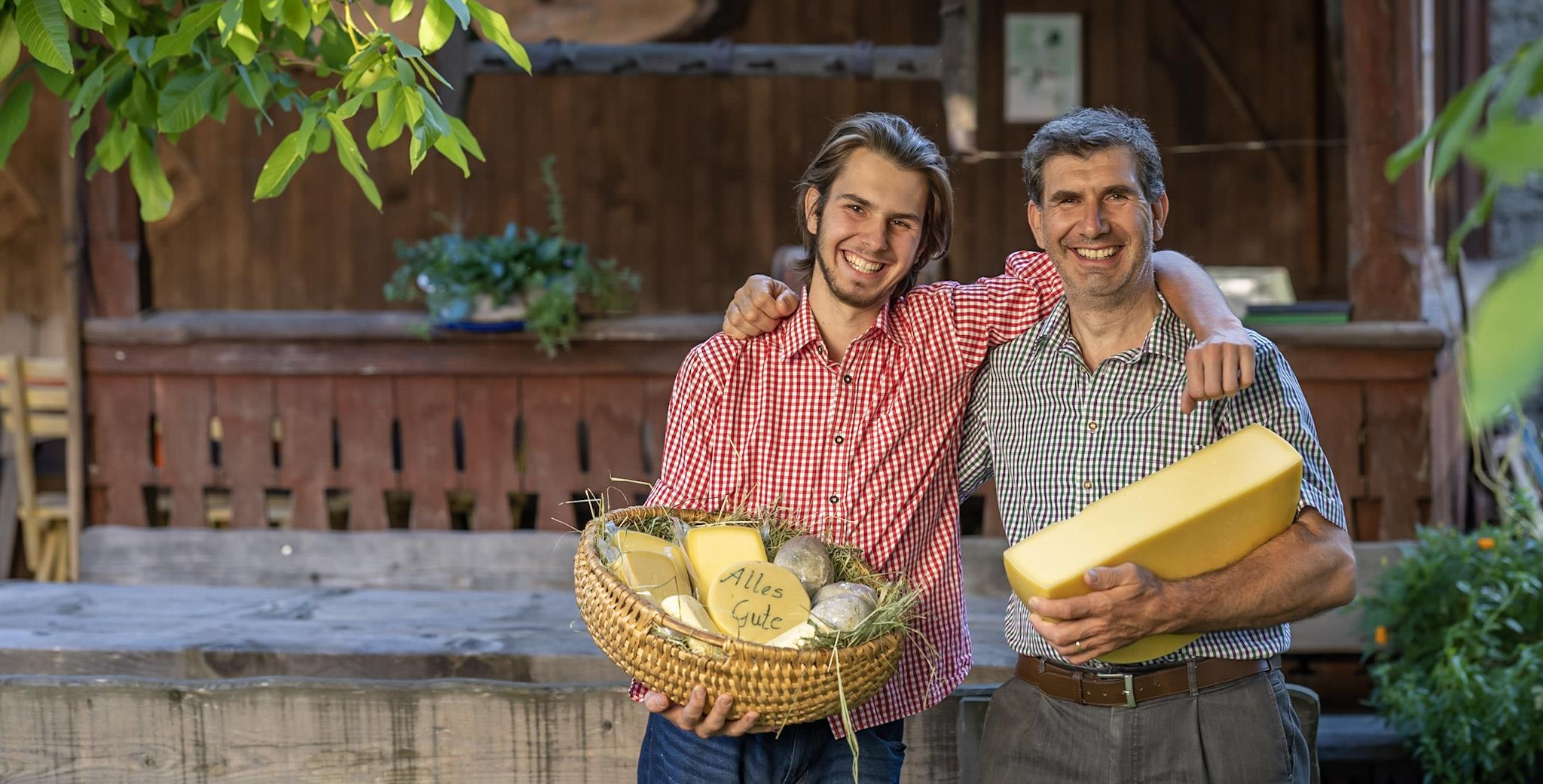
Almkäserei Bischof Alm
12.4 km away, in Kötschach-Mauthen
An alm dairy above Kötschach-Mauthen in the upper Gailtal.
Anna Schutzhaus 1.992m
8.2 km away, in Dölsach
A refuge at 1,992 m near the Ederplan summit above Dölsach, with wide views over the Drau valley and across to the Lienz Dolomites.
Kuenz Naturbrennerei
10.1 km away, in Dölsach
A family fruit distillery at Dölsach near Lienz, producing schnapps from orchard fruit and offering tastings and farm sales.
Seekofel
11.4 km away, in Tristach
A multi-pitch climbing peak in the Lienz Dolomites above the Tristacher See, with routes on its limestone walls.
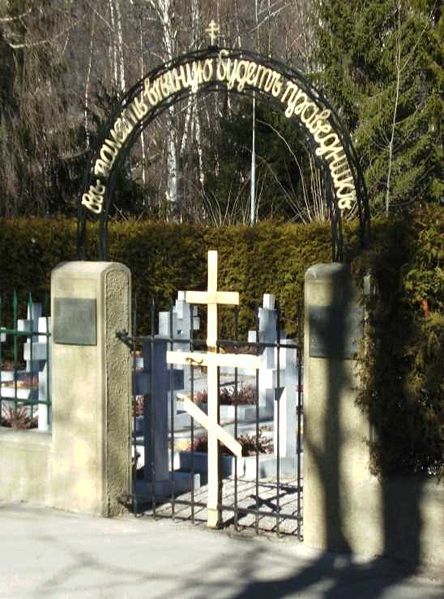
Kosakenfriedhof
13.5 km away, in Tristach
A cemetery near Lienz for Cossacks who died in 1945, when refugees camped in the Drau valley were handed over to the Soviet army.
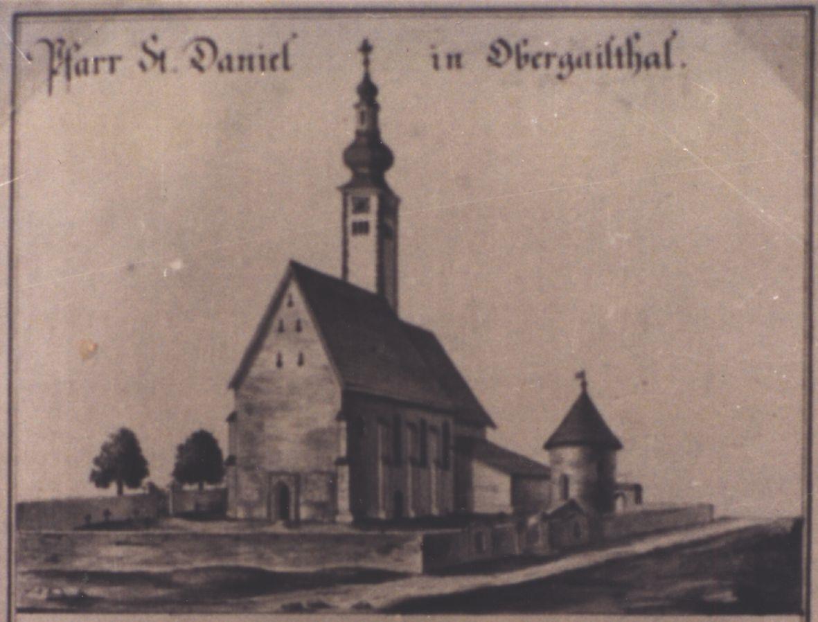
Pfarrkirche St. Daniel
13.6 km away, in Dellach
The parish church of St. Daniel in the Gailtal at Dellach.
Archäologische Erforschung "Urkirche"
14.9 km away, in Dellach
An archaeological dig at Dellach investigating an early church on the site.
Nothing of this kind in Oberdrauburg.
Routes
15 from neighbouring places
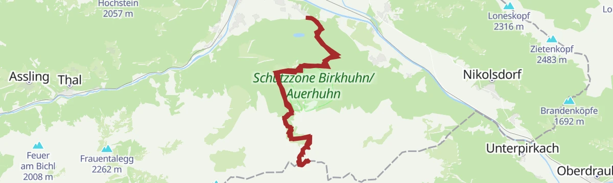
ÖTK Klettersteig Pirknerklamm
Compact gorge climb starting behind an old mill near Unterpirkach in the Drautal; past two weirs the route joins the marked ÖTK path toward the Hochstadelhaus and back to Pirkach.
- 2.1 km
- Distance
- 140 m
- Ascent
- 1 h 13 min
- Duration
Hochstadel über den Rudnigweg
A steep marked route above the Drau valley that climbs by way of the Hochstadelhaus to a 2,681 m summit plateau at the eastern end of the Lienzer Dolomiten.
- 6.3 km
- Distance
- 919 m
- Ascent
- 5 h 19 min
- Duration
- 4
- Check-ins
Skitour Hochstadel 2.681m
A big ski-mountaineering day starting near Oberpirkach above Oberdrauburg, gaining more than 2,100 m over the Rastenkogel to a 2,681 m Lienzer Dolomiten summit.
- 11.8 km
- Distance
- 2 126 m
- Ascent
- 2 126 m
- Descent
- 6 h 60 min
- Duration
- 1
- Check-ins
Dolomitenradrundfahrt
A long road circuit from the Drau valley over the Gailbergsattel and the Kartitscher Sattel, returning through the Lesachtal and Kötschach-Mauthen.
- 109.7 km
- Distance
- 2 481 m
- Ascent
- 12 h 5 min
- Duration
- 12
- Check-ins
Zabarotsteig
A steep marked climb from the Drau valley floor at Nikolsdorf up to the Hochstadelhaus, packing more than 1,200 m of ascent into under six kilometres.
- 5.8 km
- Distance
- 1 219 m
- Ascent
- 6 h 45 min
- Duration
- 3
- Check-ins
Familienwanderung Rabantalm
2.2 km away, in Nikolsdorf
Family route from the pilgrimage church of St. Chrysanthen at Nörsach up to the Rabantalm, a snack stop on the flank of the Lienz Dolomites.
- 9.1 km
- Distance
- 534 m
- Ascent
- 3 h 44 min
- Duration
- 1
- Check-ins
Nikolsdorfer Runde Nr. 126
4.1 km away, in Nikolsdorf
A circuit from the Drau valley at Nikolsdorf climbing towards the Rabantkofel, past the climbing garden on the way up.
- 28.6 km
- Distance
- 1 276 m
- Ascent
- 3 h 44 min
- Duration
Waldpfad Lavant
6.5 km away, in Lavant
Easy forest path around Lavant at the foot of the Lienz Dolomites — a flat, shady walk well suited to families and hot afternoons.
- 3.5 km
- Distance
- 74 m
- Ascent
- 1 h 1 min
- Duration
Skitour Stronachkogel 1.831m
10.4 km away, in Iselsberg-Stronach
Short ski tour from Stronach past the Stronacher Alm to an 1,831 m summit overlooking the Lienz valley basin — a compact half-day objective.
- 3.6 km
- Distance
- 692 m
- Ascent
- 692 m
- Descent
- 2 h 14 min
- Duration
E-Bike & Klettersteig Große Sandspitze 2.772m
11.2 km away, in Tristach
E-bike approach to the Dolomitenhütte, then past the Karlsbader Hütte onto the Große Sandspitze, highest of the Lienz Dolomites; descent via the Ari-Schüberl-Steig.
- 30.6 km
- Distance
- 600 m
- Ascent
- 12 h 49 min
- Duration
- 59
- Check-ins
Roana Alm Nr. 156
13.8 km away, in Winklern
A forest-road climb above Winklern linking the Lugger Alm and Straganz Alm, ending at the highest of the three at 1,900 m.
- 13.6 km
- Distance
- 603 m
- Ascent
- 1 h 47 min
- Duration
- 16
- Check-ins
Skitour Ederplan 2.062m
8.5 km away, in Dölsach
Ski tour from the highest farmhouses above Görtschach to the 2,062 m Ederplan, passing the Anna-Schutzhaus on the way to wide views over the Lienz valley basin.
- 8.3 km
- Distance
- 1 216 m
- Ascent
- 1 216 m
- Descent
- 4 h 11 min
- Duration
- 4
- Check-ins
Bike & Hike Zietenkopf 2.484m
8.8 km away, in Dölsach
A big day above the Drau valley: a long ride up to the Anna-Schutzhaus at 1,992 m, then on foot over the Michelsberger and Lindsberger Törl.
- 32.1 km
- Distance
- 2 126 m
- Ascent
- 5 h 27 min
- Duration
- 9
- Check-ins
E-Bike & Klettersteig Seekofel 2.810m
11.2 km away, in Tristach
E-bike-and-ferrata day in the Lienz Dolomites: ride to the Dolomitenhütte, walk up past the Karlsbader Hütte and climb the Seekofel from the Ödkarscharte above the Laserzsee.
- 30.6 km
- Distance
- 200 m
- Ascent
- 11 h 37 min
- Duration
- 63
- Check-ins
Zietenkopf
7.2 km away, in Nikolsdorf
Ridge circuit from the Zwischenberger Sattel over the Ederplan and its neighbouring Kreuzeck-group tops, with the Anna-Schutzhaus as the refreshment stop.
- 14.1 km
- Distance
- 1 286 m
- Ascent
- 8 h 4 min
- Duration
- 9
- Check-ins
Walter Mair Rundwanderweg Lienzer Talboden - Etappe 2
5.3 km away, in Nikolsdorf
Stage two of the valley-floor circuit around the Lienz basin — an easy-graded 12 km leg through the fields and villages around Nikolsdorf.
- 12.6 km
- Distance
- 344 m
- Ascent
- 3 h 48 min
- Duration
Ederplan Nr. 125
8.8 km away, in Dölsach
A relentless forest-road climb from the valley floor near Lienz to the Anna-Schutzhaus, close to 1,400 m of ascent in 11 km.
- 11.0 km
- Distance
- 1 364 m
- Ascent
- 3 h 4 min
- Duration
- 4
- Check-ins
Tristachersee Runde
12.2 km away, in Tristach
Flat lakeside lap of the Tristacher See — Osttirol's only bathing lake — past the buffet and the Parkhotel, twenty easy minutes beneath the Lienz Dolomites.
- 1.4 km
- Distance
- 30 m
- Ascent
- 25 min
- Duration
- 7
- Check-ins
Skitour Kreithof-Dolomitenhütte
11.4 km away, in Tristach
Short ski tour from the Kreithof car park above the Tristachersee up to the Dolomitenhütte, a steady forest climb beneath the rock walls of the Lienz Dolomites.
- 3.3 km
- Distance
- 564 m
- Ascent
- 564 m
- Descent
- 1 h 52 min
- Duration
- 26
- Check-ins
Panorama Klettersteig
11.3 km away, in Tristach
Sustained via ferrata up the south flank of the Kleine Laserzkopf, starting beneath the Roter Turm beyond the Karlsbader Hütte; about 600 m of wired climbing.
- 13.5 km
- Distance
- 600 m
- Ascent
- 6 h 39 min
- Duration
- 57
- Check-ins
No routes of this kind in Oberdrauburg yet.
The region's own picks

 Featured route
ÖTK Klettersteig Pirknerklamm
Compact gorge climb starting behind an old mill near Unterpirkach in the Drautal; past two weirs the route joins the marked ÖTK path toward the Hochstadelhaus and back to Pirkach.
Planning a trip to Oberdrauburg?
Everything else Carinthia has, in one place


Take Oberdrauburg with you into the mountains
Every route on this page with 3D terrain, GPX navigation and offline maps — including the valleys with no signal.
Data sources
- Official website: osttirol.com ↗
- Routes and highlights: Osttirol Tourismus, Nassfeld-Pressegger See Tourismus, Villach Tourismus
- Published as open data by the tourist boards named above.
- Region summary generated from the board's own material.
