
 Mountain hut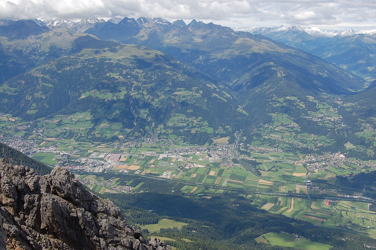
 Historic site
 Cable car










Curated by Osttirol Tourismus
Nußdorf-Debant
A market community beside Lienz where the Debant valley opens into the basin — two thirds of its ground lies inside the Hohe Tauern national park.
- 1Highlights
- 25Routes
- Featured summit · Petzeck
Highlights
14 from neighbouring places
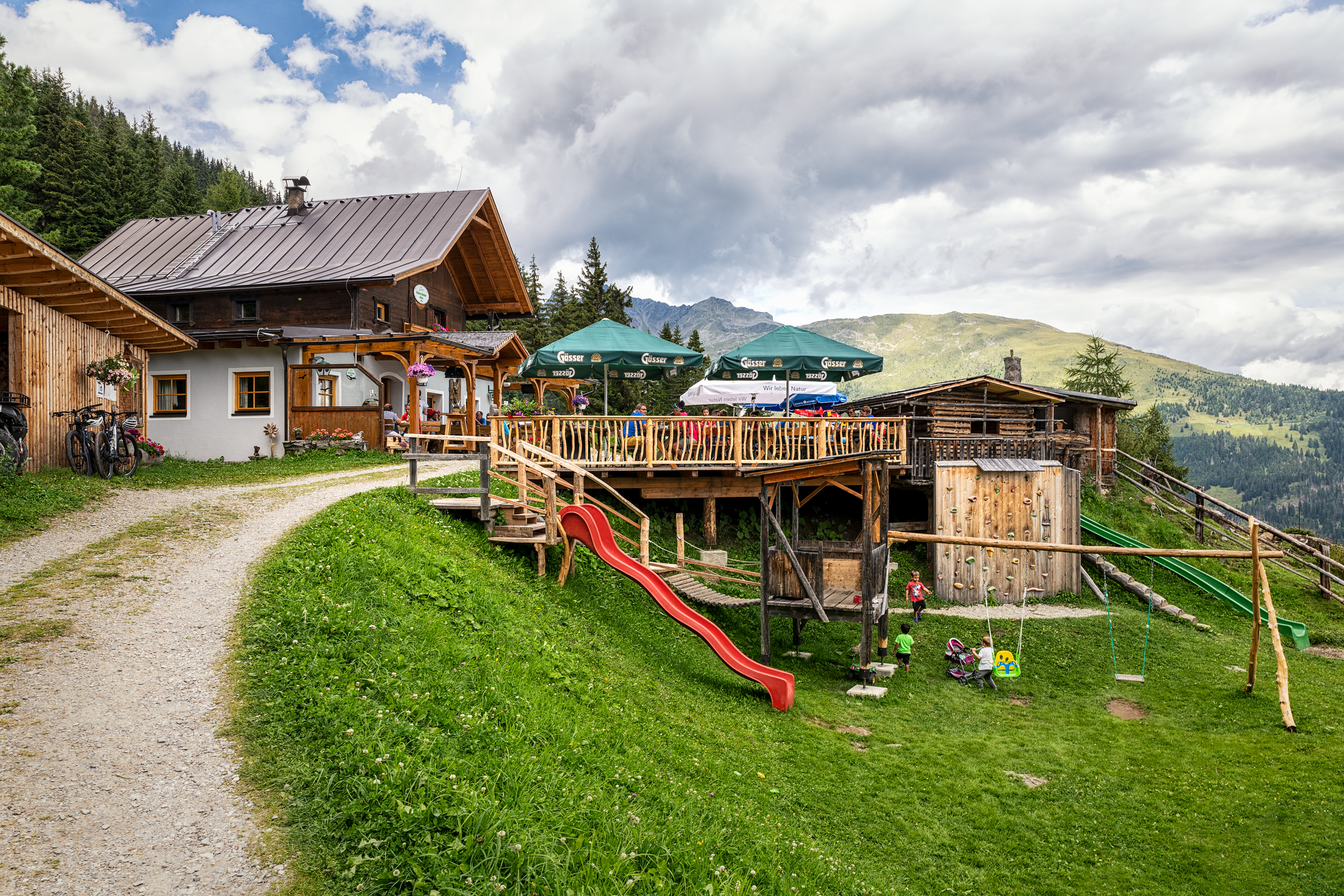
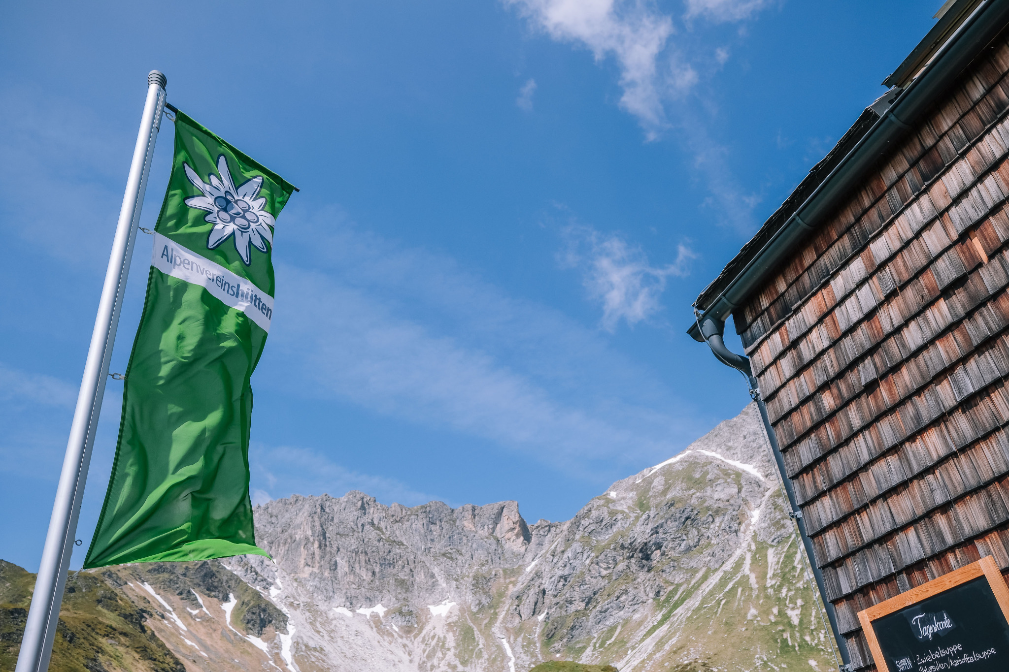
Naturfreundehütte 1.850m
A Naturfreunde club hut at 1,850 m on the Zettersfeld slopes above Gaimberg and the Lienz basin, open to walkers in season.
Debanttal
2.8 km away, in Dölsach
A side valley near Lienz reaching deep into the Schober group, much of it lying within the Hohe Tauern National Park.
Familienpark Zettersfeld
4.9 km away, in Gaimberg
A family play area on the Zettersfeld, the sunny plateau above Lienz reached by gondola, combined with easy panoramic walking.
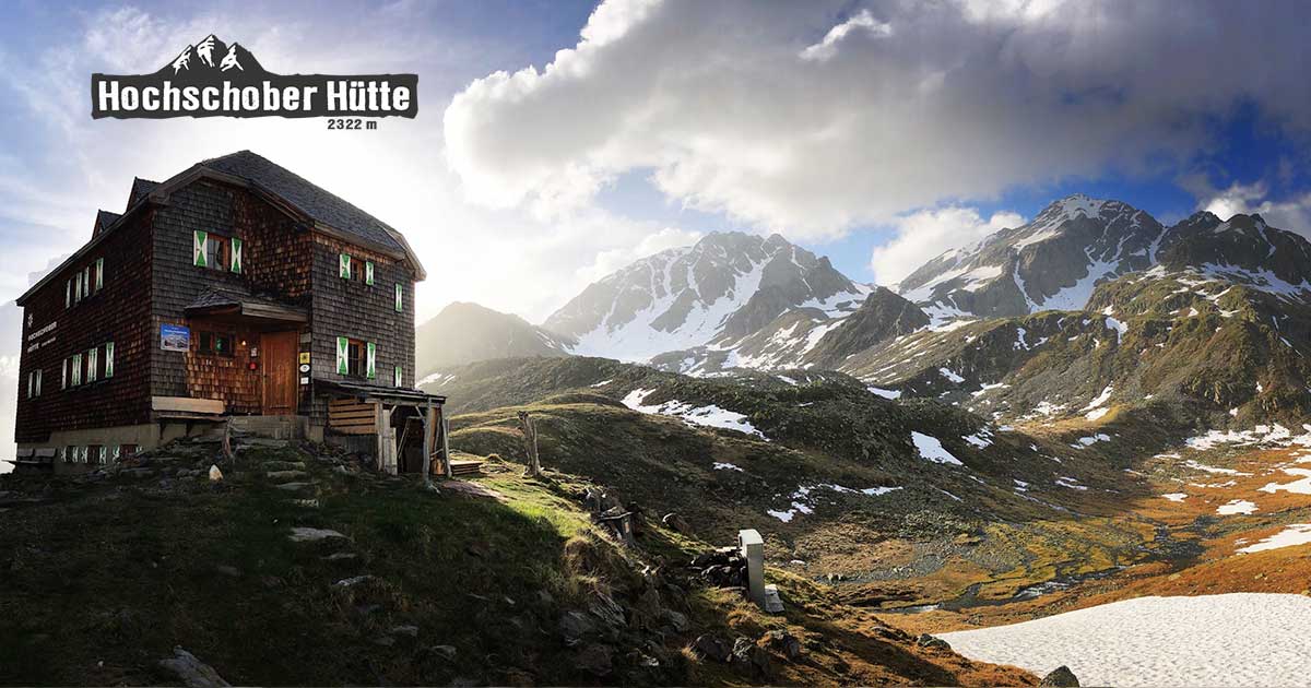
Hochschoberhütte 2.322m
5.9 km away, in Ainet
An alpine club hut at 2,322 m in the Schober group above Ainet, a base for summit walks in this quiet high range.
Lienzer Bergbahnen, Zettersfeld
6.9 km away, in Gaimberg
A gondola from the edge of Lienz to the Zettersfeld, a sunny plateau at around 1,800 m with family ski slopes and easy high-level walking.
Stadtpfarrkirche St. Andrä
7.9 km away, in Lienz
The Gothic town parish church of Lienz, where a memorial chapel holds the grave of the painter Albin Egger-Lienz.
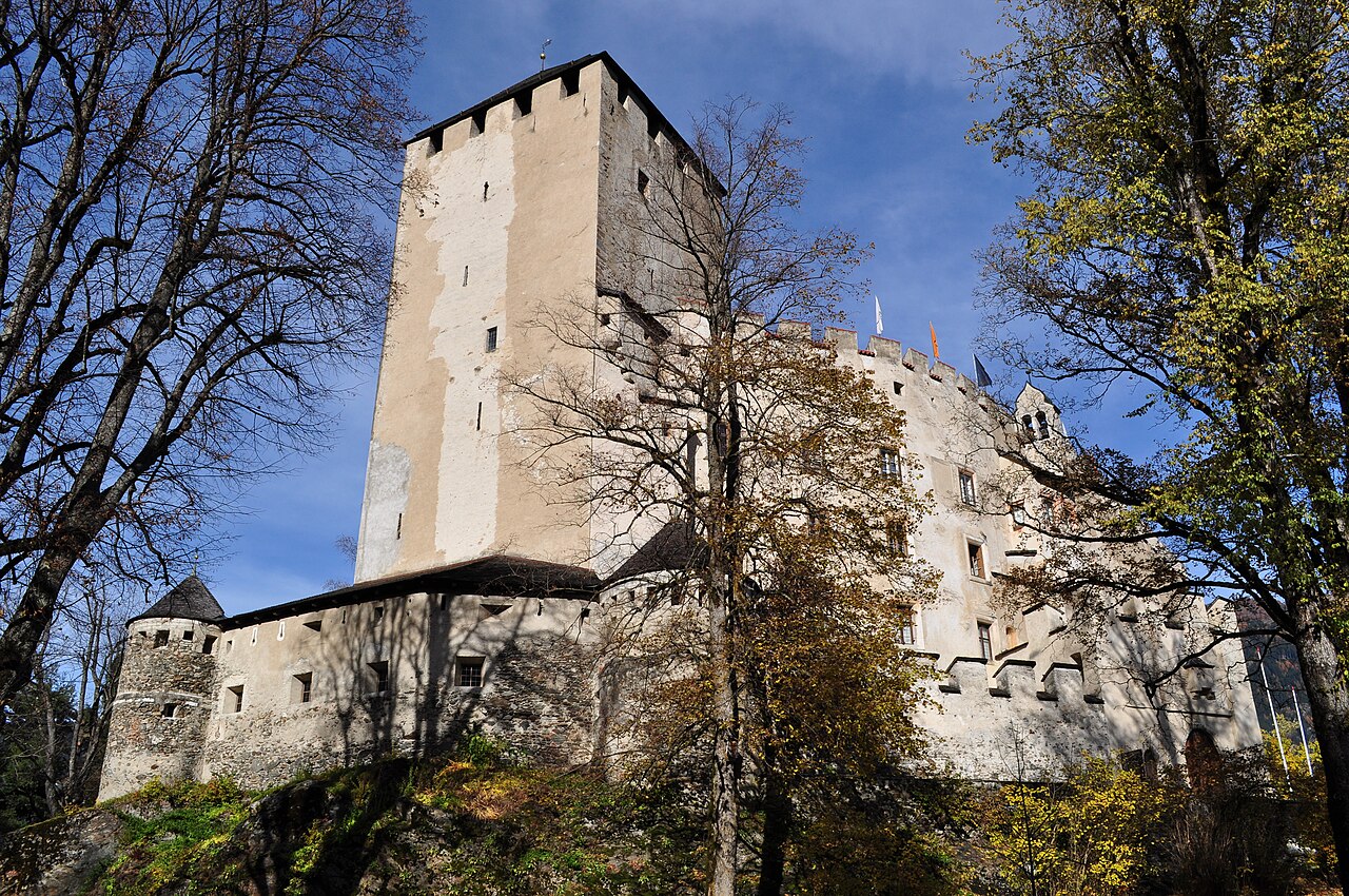
Schloss Bruck | Museum der Stadt Lienz
8.2 km away, in Lienz
A medieval castle of the Counts of Görz above Lienz, now the city museum with works by the painter Albin Egger-Lienz.
Sommerrodelbahn Osttirodler
8.3 km away, in Lienz
An alpine coaster on the slopes above Lienz, running from the mountain station of the town's lifts down toward the valley.
Lienzer Bergbahnen, Hochstein
8.3 km away, in Lienz
Lifts up the Hochstein, Lienz's local mountain, serving ski slopes in winter and walking routes and downhill bike trails in summer.
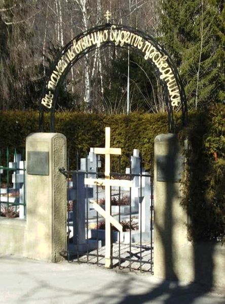
Kosakenfriedhof
9.3 km away, in Tristach
A cemetery near Lienz for Cossacks who died in 1945, when refugees camped in the Drau valley were handed over to the Soviet army.
Elberfelderhütte 2.346m
9.5 km away, in Heiligenblut am Großglockner
An alpine club hut at 2,346 m in the Schober group, reached through the Gößnitz valley from Heiligenblut and used on high hut-to-hut rounds.
Kuenz Naturbrennerei
10.8 km away, in Dölsach
A family fruit distillery at Dölsach near Lienz, producing schnapps from orchard fruit and offering tastings and farm sales.
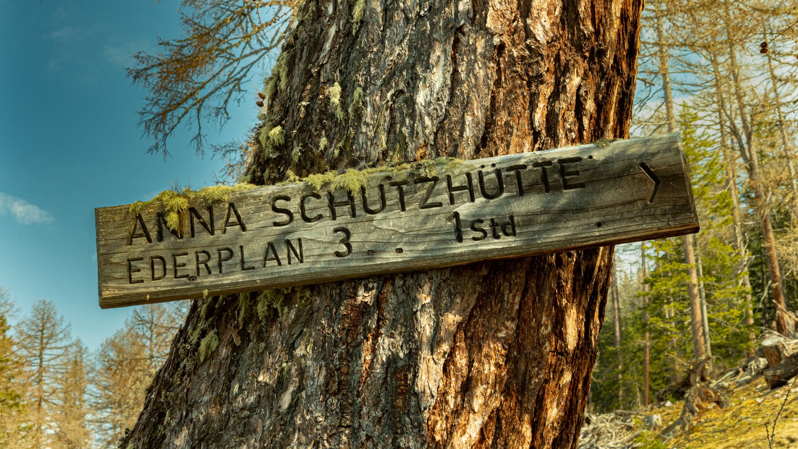
Anna Schutzhaus 1.992m
12.9 km away, in Dölsach
A refuge at 1,992 m near the Ederplan summit above Dölsach, with wide views over the Drau valley and across to the Lienz Dolomites.
Seekofel
14.2 km away, in Tristach
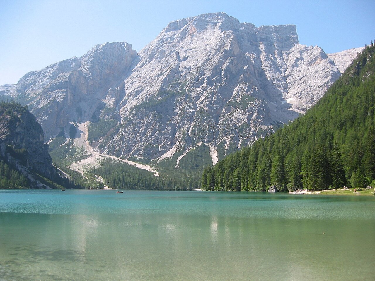
A multi-pitch climbing peak in the Lienz Dolomites above the Tristacher See, with routes on its limestone walls.
Figeralm
14.9 km away, in Kals am Großglockner
An alm hut above Kals am Großglockner belonging to the Figerhof farm, set in the valley's summer grazing area.
Nothing of this kind in Nußdorf-Debant.
Routes
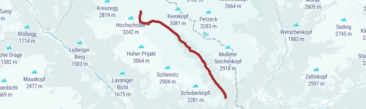
E-Bike & Klettersteig Glödis 3.206m
E-bike up the Debanttal to the Lienzer Hütte, then a long marked approach to the Glödis south-east ridge, whose secured passages finish on a 3,206 m Schober summit.
- 43.2 km
- Distance
- 230 m
- Ascent
- 16 h 14 min
- Duration
- 26
- Check-ins
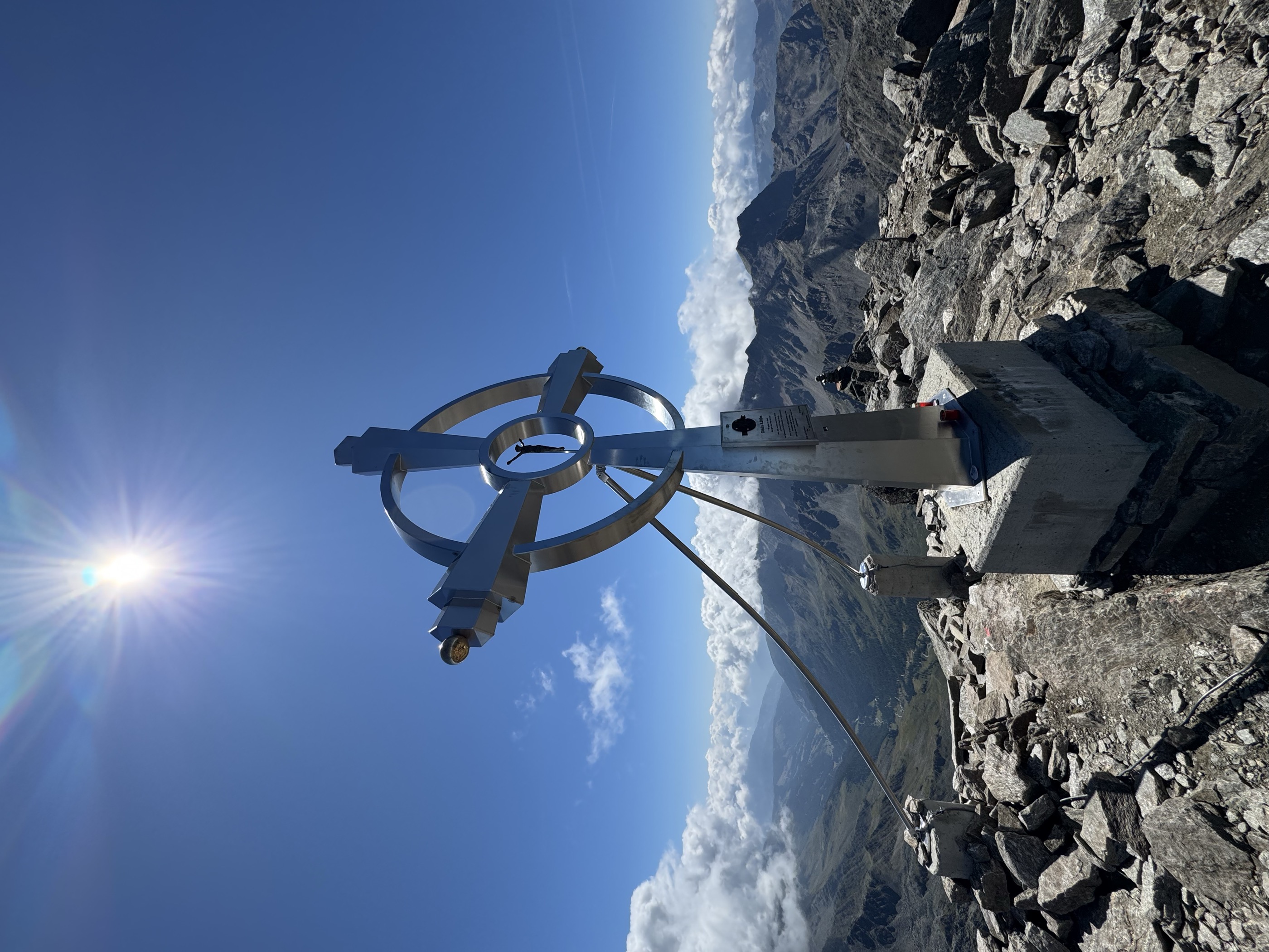
Glödis Klettersteig
Secured south-east ridge route on the Glödis, the shapely rock pyramid of the Schober group, approached from the Lienzer Hütte in the Debanttal.
- 16.1 km
- Distance
- 230 m
- Ascent
- 6 h 28 min
- Duration
- 26
- Check-ins
Schleinitz Klettersteig
Wired route up Lienz's local mountain, starting at the Steinermandl chairlift top station and passing the Neualplseen; the summit cross stays in view for most of the climb.
- 5.0 km
- Distance
- 309 m
- Ascent
- 2 h 45 min
- Duration
- 5
- Check-ins
Almwanderung zur Lienzer Hütte
Easy alm walk from the Seichenbrunn parking up the Debanttal to the Lienzer Hütte, passing the Gaimberger Alm in the heart of the Schober group.
- 6.8 km
- Distance
- 315 m
- Ascent
- 2 h 22 min
- Duration
- 13
- Check-ins
Steinermandl über Rotmannalm
From the Zettersfeld cable car an easy mountain path rises past Pepo's am Berg and the Rottmannalm to a summit cross overlooking the Lienz basin.
- 5.5 km
- Distance
- 401 m
- Ascent
- 2 h 39 min
- Duration
- 28
- Check-ins
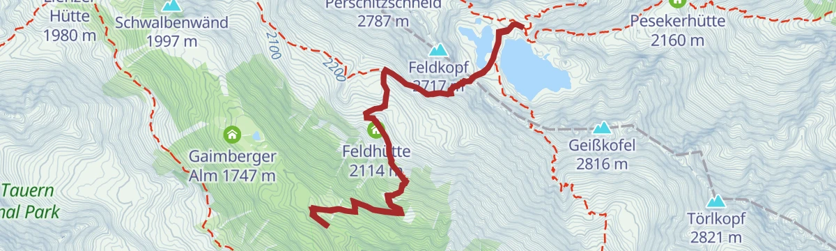
Petzeck
From the Seichenbrunn trailhead in the Debanttal past the Wangenitzseehütte and over the Untere Seescharte to the 2,998 m roof of the Schobergruppe, with the Feldhütte on the return leg.
- 16.7 km
- Distance
- 1 799 m
- Ascent
- 10 h 55 min
- Duration
- 11
- Check-ins
Skitour Faschingalm - Steinermandl
Short, moderate ski tour from the Faschingalm above Lienz, gaining about 530 m to a rounded summit over the Zettersfeld ski area.
- 3.1 km
- Distance
- 529 m
- Ascent
- 529 m
- Descent
- 1 h 45 min
- Duration
- 17
- Check-ins
Skitour Debantgrat 3.052m
Marathon ski tour up the full length of the Debanttal past the Lienzer Hütte to a 3,052 m ridge summit — more than 1,900 m of ascent.
- 15.2 km
- Distance
- 1 915 m
- Ascent
- 1 915 m
- Descent
- 6 h 51 min
- Duration
- 13
- Check-ins
Zettersfeldrunde Nr. 104
A loop on forest roads above Lienz, climbing past the Faschingalm and the Rottmannalm to the alm meadows at around 1,800 m.
- 21.9 km
- Distance
- 1 205 m
- Ascent
- 3 h 15 min
- Duration
- 17
- Check-ins
Bike & Hike Schleinitz 2.906m
A big climb from Gaimberg up to the Zettersfeld alms and Moar at 2,208 m, where the bike is left for the walk onto the summit ridge.
- 39.7 km
- Distance
- 2 457 m
- Ascent
- 6 h 24 min
- Duration
- 34
- Check-ins
Rundwanderung am Zettersfeld
Easy loop across the sunny Zettersfeld plateau above Lienz, linking the Faschingalm, the Naturfreundehütte Vinzenz Biedner and the Schloßherrenalm.
- 5.8 km
- Distance
- 278 m
- Ascent
- 2 h 4 min
- Duration
- 7
- Check-ins
Schleinitz
Ridge collection above the Zettersfeld: from the lift over the Steinermandl and Goiselemandl to the 2,904 m main summit, with the Neualplschneid along the way.
- 9.1 km
- Distance
- 816 m
- Ascent
- 5 h 8 min
- Duration
- 26
- Check-ins
Almwanderung zur Wangenitzsee Hütte
From Seichenbrunn in the Debanttal a stiff climb past the Feldhütte and over the Untere Seescharte to a hut on the shore of the Wangenitzsee.
- 10.6 km
- Distance
- 962 m
- Ascent
- 6 h 2 min
- Duration
- 9
- Check-ins
Skitour Zettersfeld Zentrum - Schoberköpfl
Short, moderate ski tour from the Zettersfeld top station to the Schoberköpfl; the Lienzer Bergbahnen touring card includes four lift rides a day.
- 2.7 km
- Distance
- 451 m
- Ascent
- 451 m
- Descent
- 1 h 31 min
- Duration
- 11
- Check-ins
Skitour Goisele 2.433m
Long ski tour from the Säge in the Debanttal, climbing almost 1,250 m through forest and open bowls to the Goiselemandl high above Lienz.
- 8.1 km
- Distance
- 1 248 m
- Ascent
- 1 248 m
- Descent
- 4 h 15 min
- Duration
- 7
- Check-ins
Debanttal Nr. 153
A long forest-road ride from the Lienz basin up the valley to the Lienzer Hütte at 1,980 m, passing the Gaimberger Alm.
- 34.0 km
- Distance
- 1 433 m
- Ascent
- 4 h 22 min
- Duration
- 13
- Check-ins
Bike & Hike Wangenitzseehütte 2.508m
A long ride up the Debanttal from Nußdorf-Debant, with the hut at 2,508 m and the Untere Seescharte reached on foot at the top.
- 38.5 km
- Distance
- 2 092 m
- Ascent
- 5 h 40 min
- Duration
- 9
- Check-ins
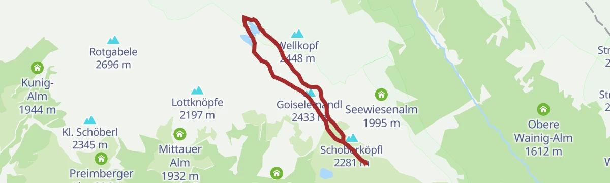
Neualplseen Rundwanderung
High loop from the Zettersfeld lift over the Steinermandl and Goiselemandl to a group of small tarns below the Neualplschneid.
- 6.8 km
- Distance
- 352 m
- Ascent
- 2 h 33 min
- Duration
- 25
- Check-ins
Alkuser Rotspitze
Demanding Schober-group climb from the Debanttal, rising past the Trelebitsch-Alm and over the Trelebitschkopf to the Kleine Rotspitze and the main summit.
- 12.3 km
- Distance
- 1 402 m
- Ascent
- 8 h 26 min
- Duration
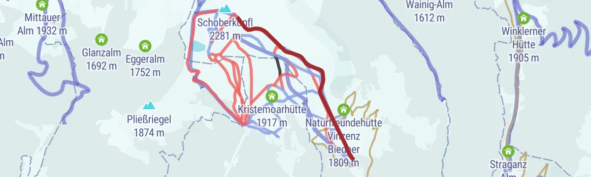
Skitour Faschingalm - Schoberköpfl 2.281m
Compact winter climb from the Faschingalm car park to a 2,281 m knoll above the Zettersfeld ski slopes; the Lienzer Bergbahnen touring card adds four lift rides a day.
- 3.0 km
- Distance
- 590 m
- Ascent
- 590 m
- Descent
- 1 h 54 min
- Duration
Skitour Schleinitz 2.904m
From the Zettersfeld above Lienz the skin track passes the Rottmannalm and climbs into the Schober group, finishing on a 2,904 m summit.
- 5.1 km
- Distance
- 1 043 m
- Ascent
- 1 043 m
- Descent
- 3 h 21 min
- Duration
- 3
- Check-ins
Gaimberg - Lienzer Hütte Nr. 107
A big day on forest roads from the Zettersfeldbahn base above Lienz, over the Schloßherrenalm and on to the hut at 1,980 m.
- 37.7 km
- Distance
- 1 740 m
- Ascent
- 4 h 59 min
- Duration
- 13
- Check-ins
Radweg Lienzer Talboden Nr. 35
A valley cycle path along the Drau and Isel floor around Lienz, passing the Aguntum viewing platform and the Iselblick.
- 39.1 km
- Distance
- 428 m
- Ascent
- 3 h 52 min
- Duration
- 1
- Check-ins
Natur- und Kulturlehrweg Debanttal
Interpretive trail up the Debanttal in the Schober group, following the valley past the Gaimberger Alm and Hofalm toward the Lienzer Hütte, with stations on nature and culture.
- 7.6 km
- Distance
- 337 m
- Ascent
- 2 h 37 min
- Duration
- 14
- Check-ins
Walter Mair Rundwanderweg Lienzer Talboden - Etappe 3
The third leg of the marked circuit around the Lienz valley basin, rolling through Dölsach's villages and fields past the Holunderhof restaurant.
- 13.2 km
- Distance
- 529 m
- Ascent
- 4 h 24 min
- Duration
No routes of this kind in Nußdorf-Debant yet.
The region's own picks

Featured route
Almwanderung zur Lienzer Hütte
Easy alm walk from the Seichenbrunn parking up the Debanttal to the Lienzer Hütte, passing the Gaimberger Alm in the heart of the Schober group.
Planning a trip to Nußdorf-Debant?
Everything else Tyrol has, in one place


Take Nußdorf-Debant with you into the mountains
Every route on this page with 3D terrain, GPX navigation and offline maps — including the valleys with no signal.
Data sources
- Official website: osttirol.com ↗
- Routes and highlights: Osttirol Tourismus
- Published as open data by the tourist boards named above.
- Region summary generated from the board's own material.
