
 Via ferrata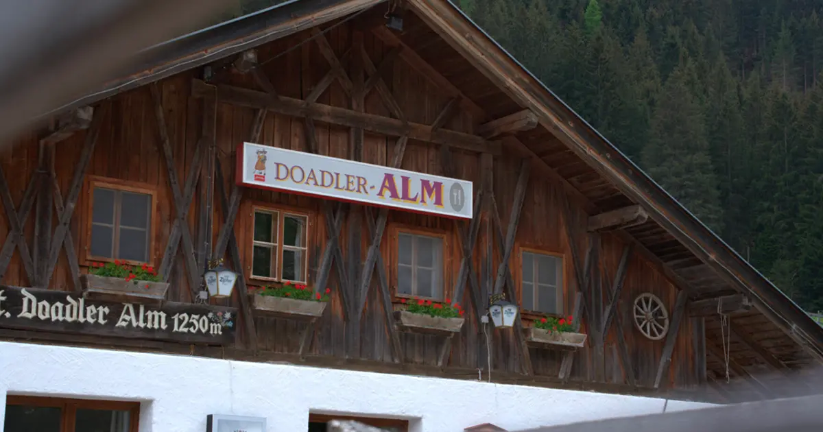




















Curated by Tourismusverband Stubai Tirol
Neustift im Stubaital
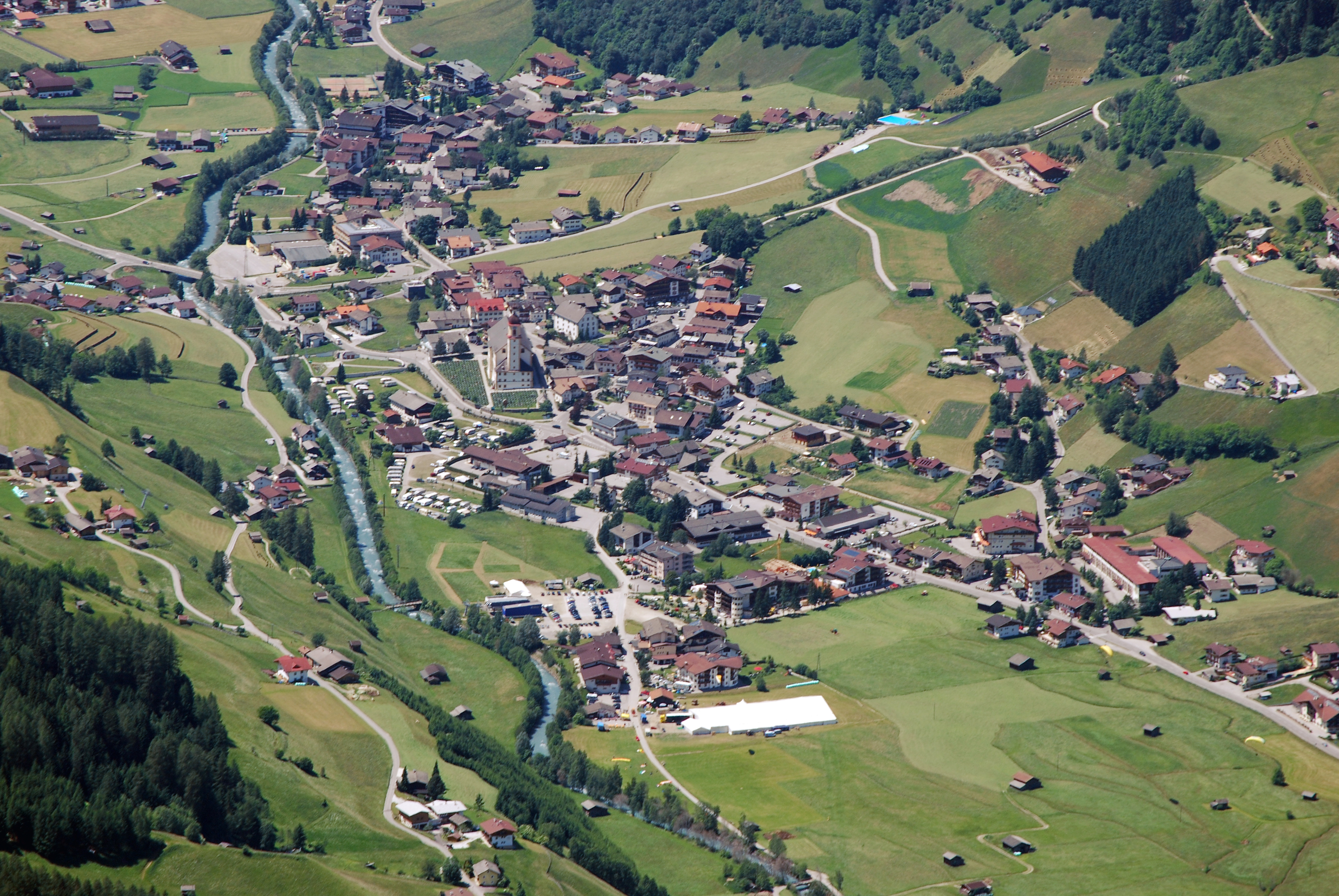
The Stubaital's largest municipality, stretching from villages at about 1000 m past the Franz-Senn-Hütte to the Stubai Glacier ski area at the valley head.
Photo: Svíčková · CC BY-SA 3.0 licence
- 12Highlights
- 98Routes
- Featured summit · Hoher Burgstall
Highlights
3 from neighbouring places
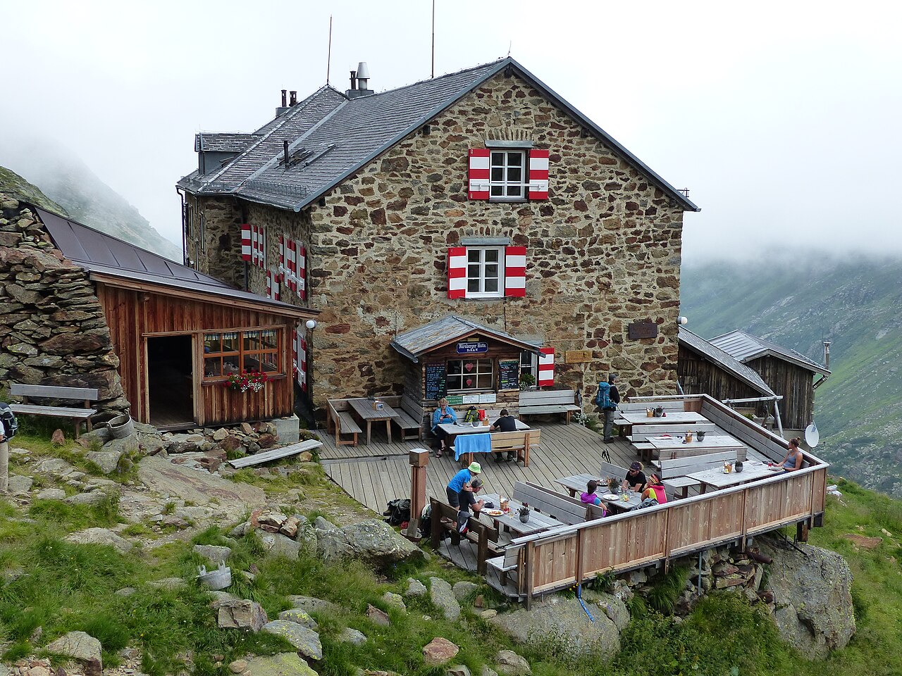
Klettersteig: Nürnberger Hütte
A protected climbing route beside the Nürnberger Hütte in the rear Stubaital, laid out on the rock close to the Alpine Club hut.
Doadler Alm 1.250m
A pasture hut at 1,250 m in the upper Stubaital above Neustift, an easy walk up from the valley floor near Falbeson.
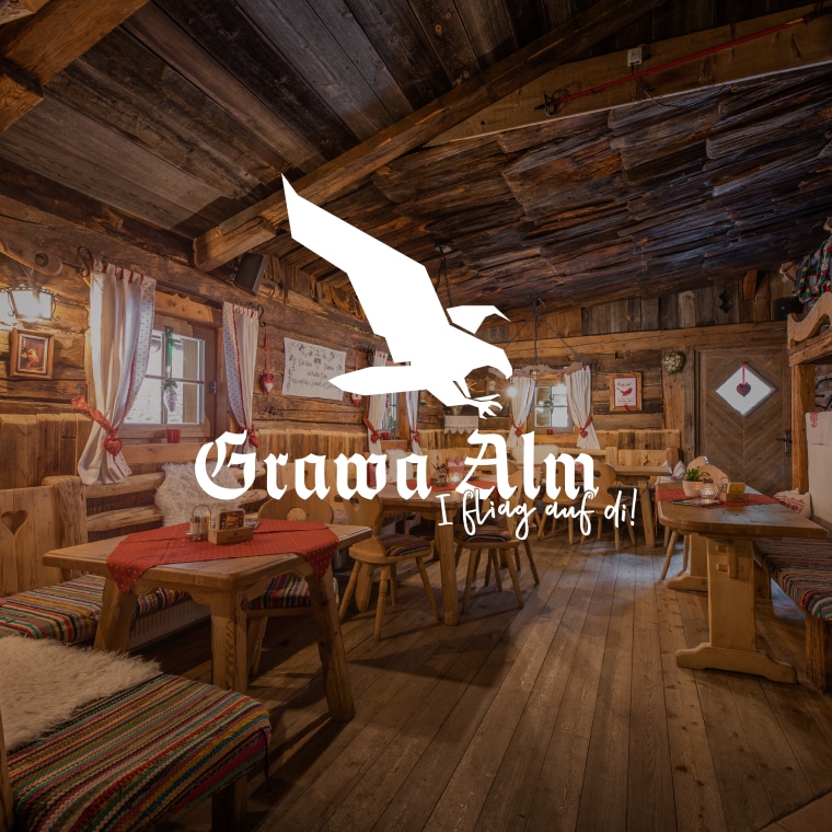
Grawa Alm 1.530m
A pasture hut at 1,530 m in the upper Stubaital, standing opposite the broad Grawa waterfall on the WildeWasserWeg.
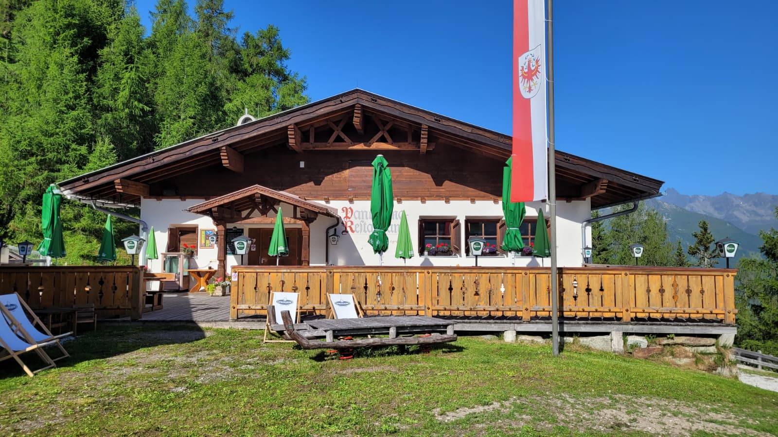
Panoramarestaurant Elfer 1.812m
A panorama restaurant at 1,812 m by the Elfer lifts' top station above Neustift, with terrace views along the Stubaital.
Sulzenauhütte 2.196m
An Alpine Club hut at 2,196 m above the Sulzenau valley step, a Stubai High Trail stage near the Blaue Lacke and Grünausee lakes.
Tschangelairalm 1.410m
A pasture hut at 1,410 m by the Ruetz in the upper Stubaital near Ranalt, an easy stop on the valley path toward the glacier.
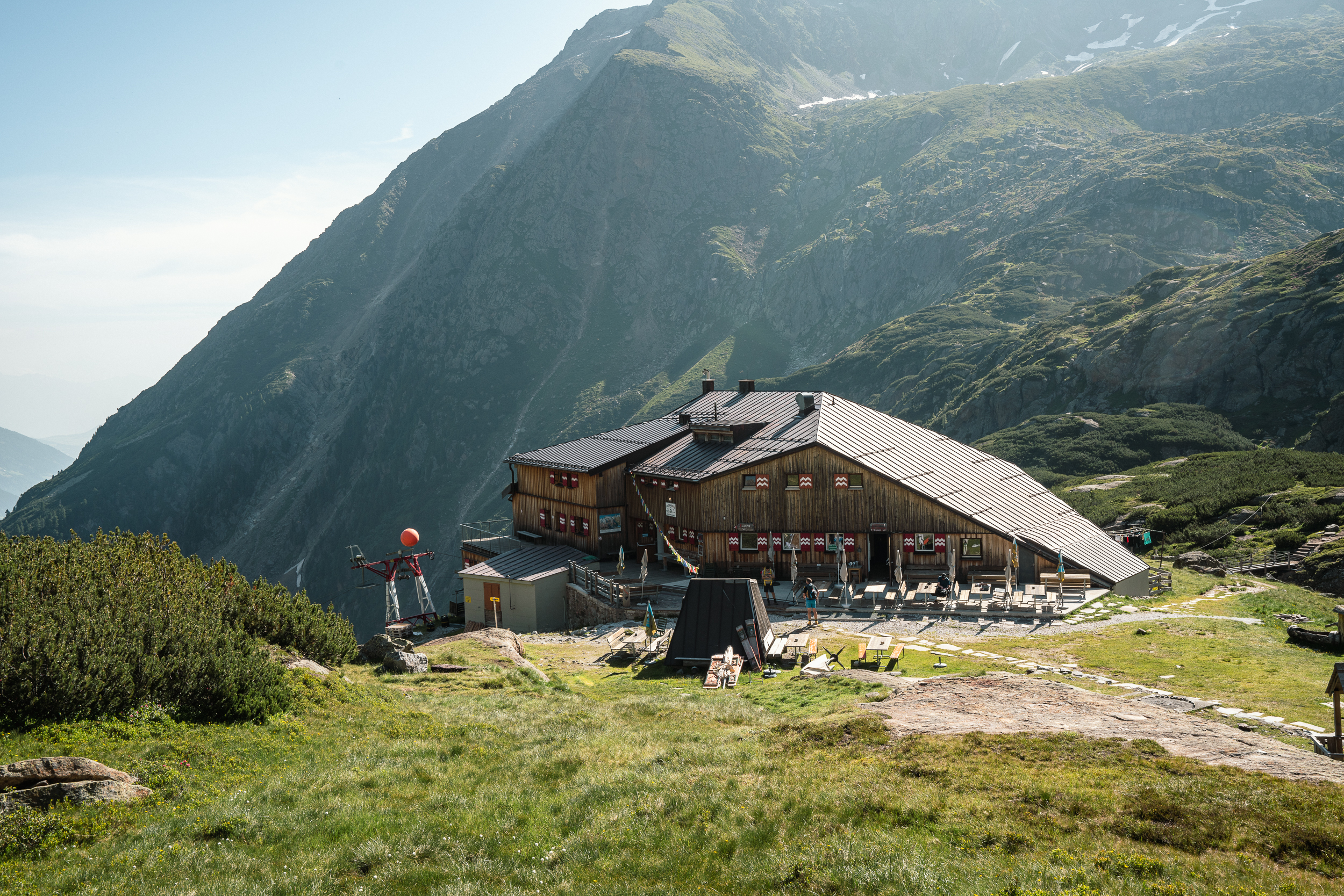
Franz-Senn-Hütte
A large Alpine Club hut at 2,147 m in the Oberbergtal above Neustift, a stage on the Stubai High Trail and a base for glacier tours and climbing courses.
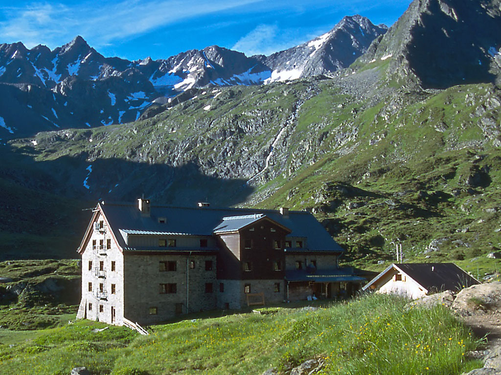
Nürnberger Hütte
An Alpine Club hut at about 2,280 m in the Langental at the rear of the Stubaital, a Stubai High Trail stage and a base for the Wilder Freiger.
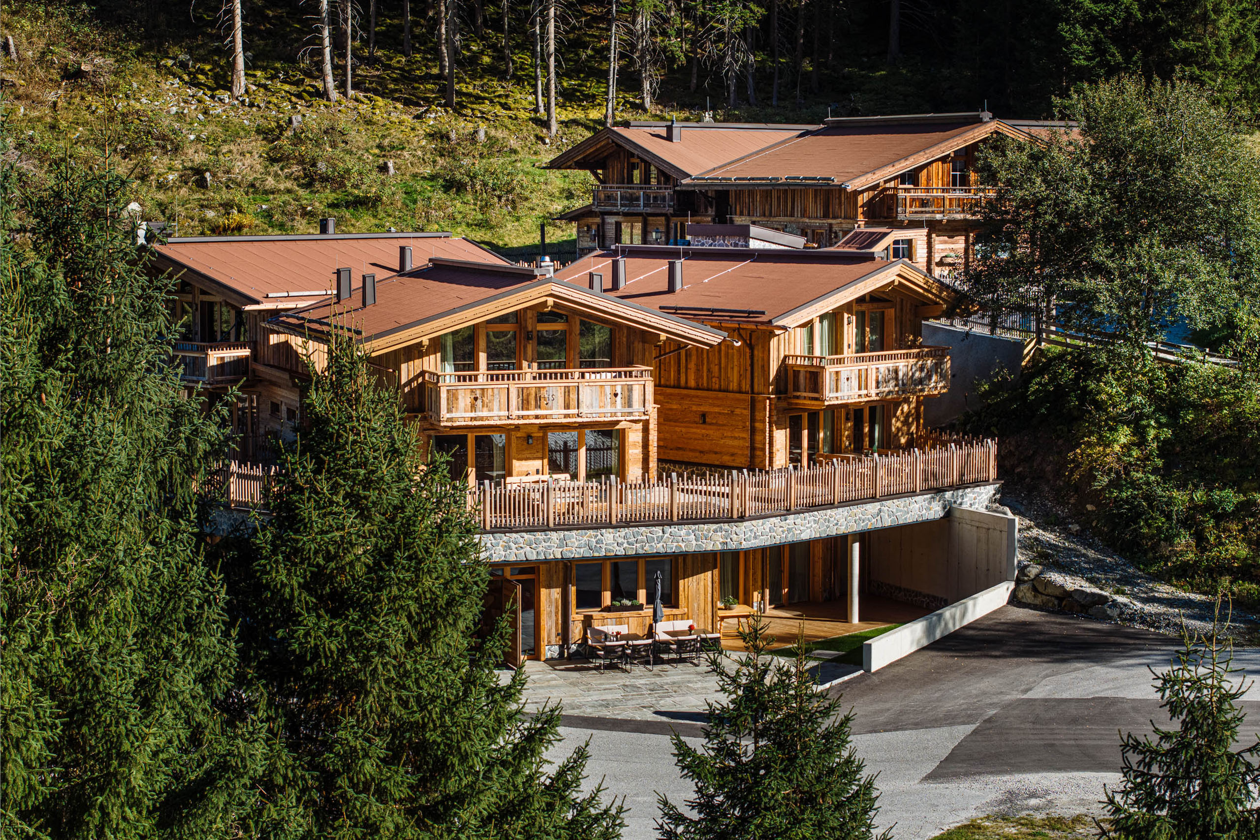
Gletscher Chalet
A chalet-style mountain restaurant and lodge in the upper Stubaital near Neustift, on the way toward the Stubai Glacier.
Ausserwieserhof Kaser
A rustic hut, or Kaser, belonging to the Ausserwieserhof farm above Neustift, rented out as a simple mountain retreat.
Kampler Seestube 1.000m
A restaurant at about 1,000 m on the shore of the Kampler See near Neustift, serving bathers and cyclists on the valley route.
Sulzenauhütte
An Alpine Club hut above the Sulzenau basin in the rear Stubaital, a walkers' and climbers' base near the WildeWasserWeg.
Mühlendorf Gschnitz
9.3 km away, in Gschnitz
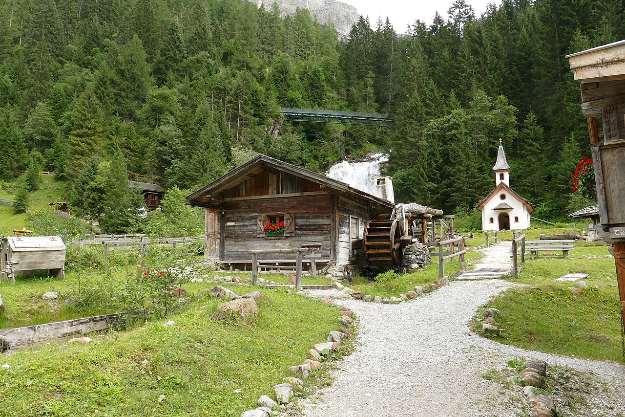
An open-air ensemble of restored water mills at Gschnitz in the Gschnitztal, a side valley of the Wipptal, with milling shown in season.
Alpengasthof Lüsens
10.1 km away, in St. Sigmund im Sellrain
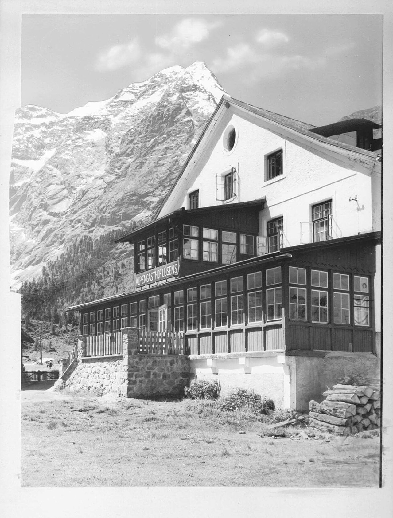
An alpine inn at Lüsens in the innermost Sellrain valley above St. Sigmund, a traditional base for walks and ski tours toward the Lüsener Fernerkogel.
Westfalenhaus
10.5 km away, in St. Sigmund im Sellrain
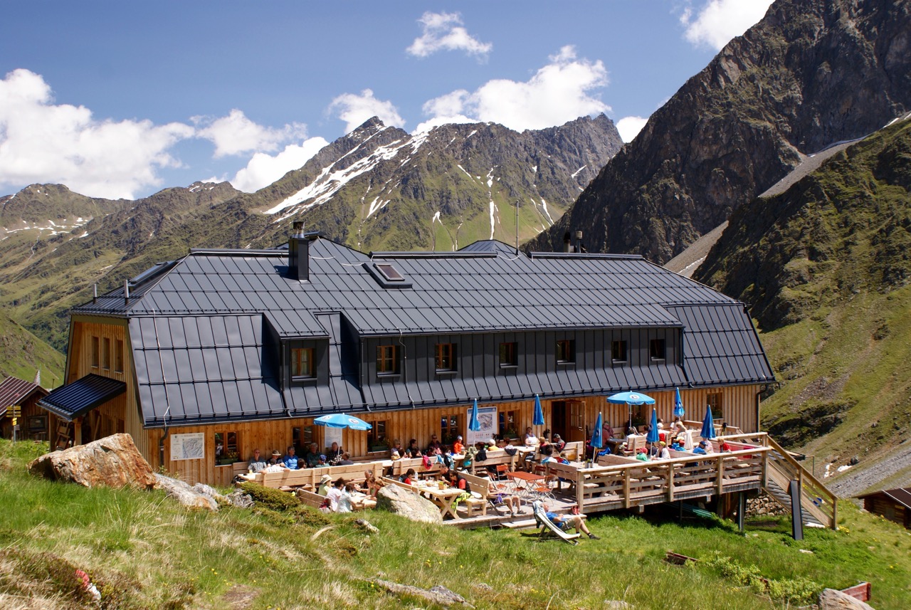
A high mountain hut above St. Sigmund im Sellrain, a base for summit tours and crossings in the northern Stubai Alps.
Nothing of this kind in Neustift im Stubaital.
Routes
50 routes, an even mix of activities · see the rest on stubai.at ↗
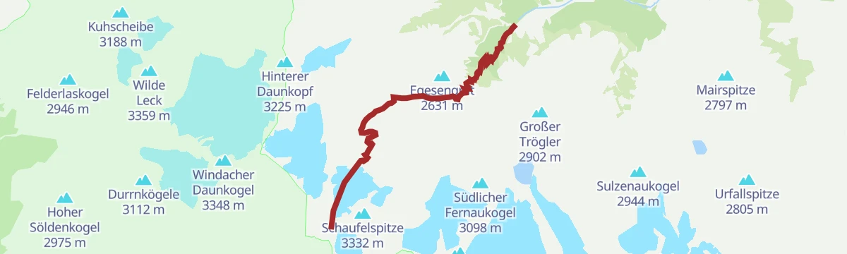
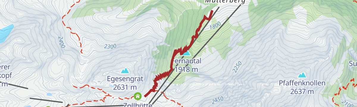
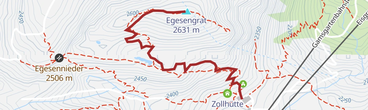
Dresdner Hütte - Egesengrat
A short but steep pull from the Dresdner Hütte onto the Egesengrat, gaining a rocky vantage point over the Stubai glacier basin and the Egesensee.
- 1.4 km
- Distance
- 307 m
- Ascent
- 1 h 42 min
- Duration
- 40
- Check-ins
 Egesengrat 2 631 m
 Dresdner Hütte 2 308 m
- Zollhütte 2 319 m
- Fernaustadl 2 307 m
 Egesensee 2 500 m
Kreuzjoch - Niederer Burgstall - Hoher Burgstall
A ridge-line ascent from the Schlick 2000 top station over two Burgstall summits, with the jagged Kalkkögel close at hand and the Sennjochhütte on the return.
- 8.1 km
- Distance
- 734 m
- Ascent
- 4 h 36 min
- Duration
- 89
- Check-ins
Mutterbergalm - Dresdner Hütte - Eissee - Bergstation Eisgrat - Jochdohle TOP OF TYROL
From the Mutterbergalm up past the Dresdner Hütte and the Eissee into the glacier terrain of the Stubaier Gletscher, finishing at the Jochdohle beside the Top of Tyrol platform.
- 8.3 km
- Distance
- 1 442 m
- Ascent
- 8 h 9 min
- Duration
- 122
- Check-ins
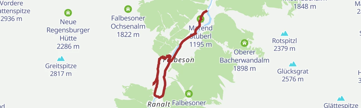
569 Falbeson Oberhausalm
An easy forest-road run along the upper Stubaital floor from Falbeson to the alm at 1,325 m, with the Waldcafe and Marend Stüberl en route.
- 5.9 km
- Distance
- 176 m
- Ascent
- 42 min
- Duration
- 17
- Check-ins
568 Milders Oberissalm
A forest-road climb from Milders up the Oberbergtal, passing the Holderlochalm and Stöcklenalm to the hut at the valley head.
- 9.1 km
- Distance
- 738 m
- Ascent
- 1 h 48 min
- Duration
- 24
- Check-ins
Stubai E-Bike Sightseeing Tour Variante 1
A valley round starting near the Europabrücke, running up the Stubaital past the Kampler See and back down the far side.
- 35.3 km
- Distance
- 926 m
- Ascent
- 4 h
- Duration
- 52
- Check-ins
Stubai Radroute 19: Schönberg - Falbeson (Doadler Alm)
A valley cycle route running up the Stubaital from Schönberg past the Kampler See and the campsite at Neustift towards Falbeson.
- 24.0 km
- Distance
- 534 m
- Ascent
- 2 h 38 min
- Duration
- 46
- Check-ins
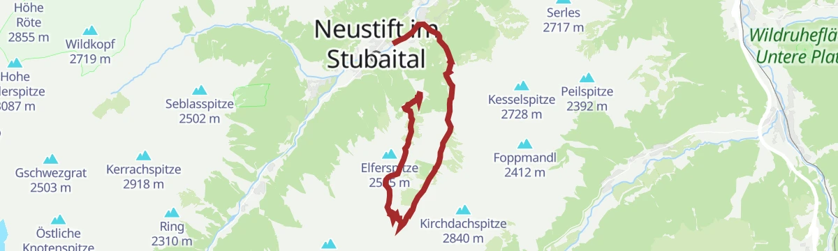
Elferbergstation - Elferhütte - Autenalm - Neustift
A downhill-friendly walk from the Elfer top station past the Elferhütte and the Autenalm back to Neustift, with the Stubai valley floor in view most of the way.
- 6.9 km
- Distance
- 260 m
- Ascent
- 2 h 15 min
- Duration
- 40
- Check-ins
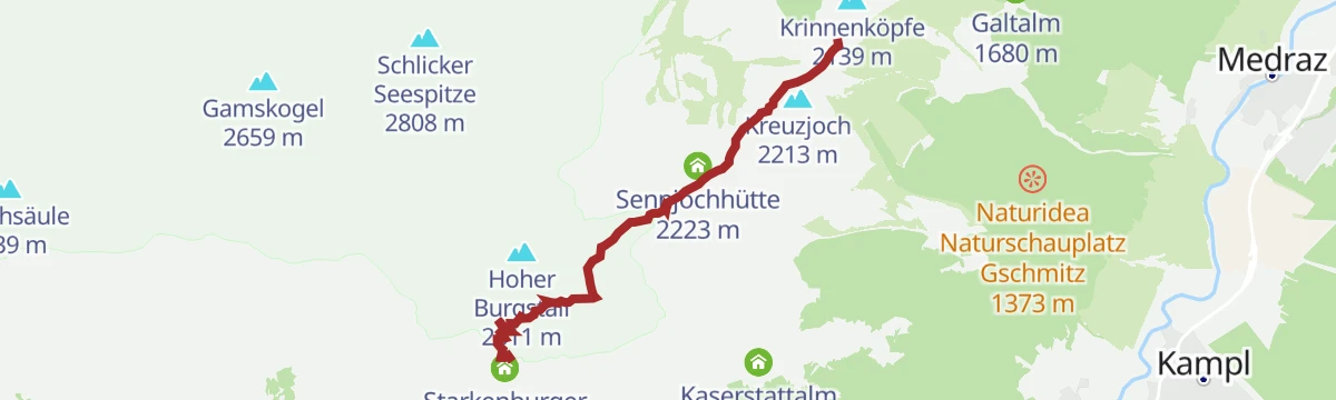
Bergstation Schlick 2000 - Starkenburger Hütte
A panorama traverse from the Kreuzjoch top station over the Sennjoch to the Starkenburger Hütte, contouring high above Fulpmes beneath the Kalkkögel.
- 4.1 km
- Distance
- 370 m
- Ascent
- 2 h 19 min
- Duration
- 73
- Check-ins
Rundweg Dresdner Hütte und "Top of Tyrol" - Ausblick auf hunderte Gipfel
A steep circuit from the valley head to the Dresdner Hütte and up to the Schaufeljoch, where the Top of Tyrol platform overlooks a wide sweep of glaciated three-thousanders.
- 6.2 km
- Distance
- 1 180 m
- Ascent
- 6 h 36 min
- Duration
- 101
- Check-ins
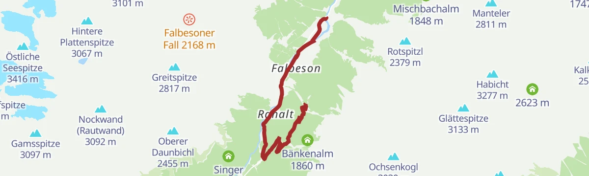
5082 Falbesoner Nockalm
A short forest-road climb out of Falbeson in the upper Stubaital, leaving the valley road near Ranalt for the alm at 1,664 m.
- 6.4 km
- Distance
- 500 m
- Ascent
- 1 h 14 min
- Duration
- 20
- Check-ins
5006 Starkenburger Hütte
A relentless forest-road climb from Fulpmes past the Fronebenalm and the Galtalm to the hut at 2,237 m above the Stubai valley.
- 11.1 km
- Distance
- 1 256 m
- Ascent
- 2 h 52 min
- Duration
- 45
- Check-ins
Stubai Radroute 19: Stefansbrücke - Falbeson (Doadler Alm)
A longer start to the Stubai valley cycle route, beginning at the Stefansbrücke in the Wipptal and climbing steadily past the Kampler See.
- 26.8 km
- Distance
- 914 m
- Ascent
- 3 h 14 min
- Duration
- 37
- Check-ins
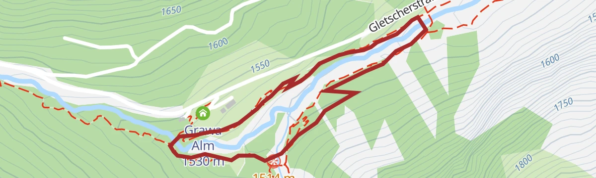
WildeWasserWeg: Rundweg Grawa Wasserfall
A short loop at the foot of the Grawa waterfall, one of the broadest falls in the Eastern Alps, with viewing platforms and a stop at the Grawa Alm.
- 1.5 km
- Distance
- 44 m
- Ascent
- 27 min
- Duration
- 17
- Check-ins
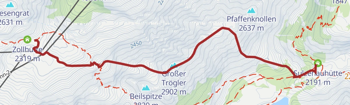
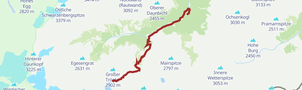
Großer Trögler - Fantastischer Aussichtsberg
A compact summit climb between the Dresdner Hütte and the Sulzenauhütte, topping a viewpoint peak that faces the Zuckerhütl and the Stubai glaciers directly.
- 4.2 km
- Distance
- 586 m
- Ascent
- 3 h 24 min
- Duration
- 55
- Check-ins
Schlicker See - Zwischen zwei Welten
From the Sennjoch beneath the Kalkkögel to the Schlicker See and over the Seejöchl, a long day moving between bare limestone crags and the green alm slopes of the Schlick.
- 15.5 km
- Distance
- 833 m
- Ascent
- 5 h 58 min
- Duration
- 98
- Check-ins
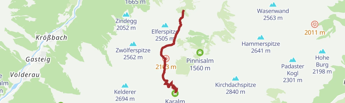
571 Pinnistal - Karalm
A forest-road climb into the Pinnistal past the Issenangeralm and Pinnisalm, finishing at the Karalm at the head of the valley.
- 9.3 km
- Distance
- 802 m
- Ascent
- 1 h 56 min
- Duration
- 17
- Check-ins
Stubai E-Bike Sightseeing Tour Short Variante 2
A long ride through the Stubaital on valley tracks and forest roads, passing the Kampler See and the foot of the Kreuzjochbahn.
- 35.3 km
- Distance
- 906 m
- Ascent
- 3 h 59 min
- Duration
- 29
- Check-ins
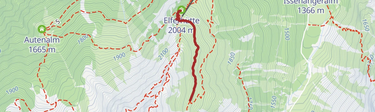
Elfer: Blütezeit
A short, sharp climb from the Elfer top station to the Elferhütte, timed for the early-summer bloom on the sunny slopes above Neustift.
- 1.2 km
- Distance
- 129 m
- Ascent
- 47 min
- Duration
- 14
- Check-ins
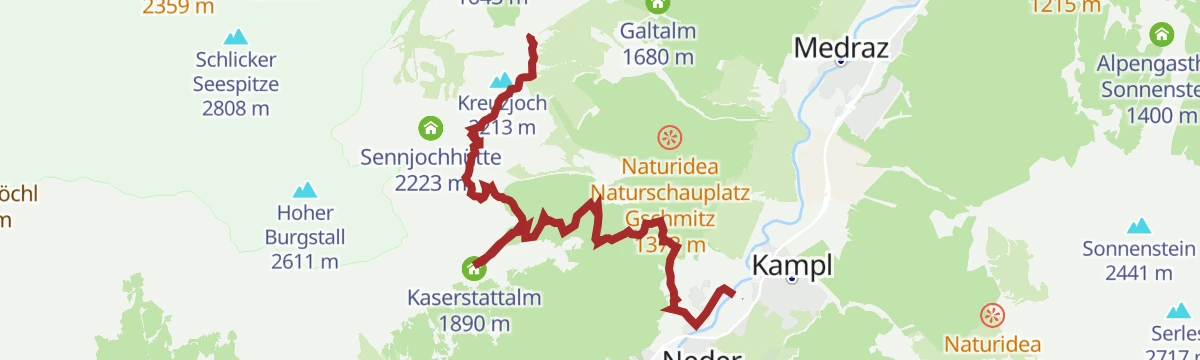
Kreuzjoch - Knappenhütte - Kaserstattalm - Pfurtschell - Kampl
A long, gentle descent from the Kreuzjoch through alm country past the Knappenhütte and the Kaserstattalm, dropping via Pfurtschell to Kampl on the valley floor.
- 8.1 km
- Distance
- 193 m
- Ascent
- 2 h 22 min
- Duration
- 52
- Check-ins
Elfer Bergstation - Elferhütte - Elferspitze - Zwölfernieder - Zwölferspitze
An airy ridge day from the Elfer top station over the Elferspitze and the Zwölfernieder towards the Zwölferspitze, with scrambling terrain high above the Pinnistal.
- 4.7 km
- Distance
- 958 m
- Ascent
- 5 h 19 min
- Duration
- 48
- Check-ins
5072 Klamperberg
A forest-road climb above Neustift im Stubaital, rising past the Weber Lois and the Autenalm to the high pasture at 1,795 m.
- 9.5 km
- Distance
- 893 m
- Ascent
- 2 h 7 min
- Duration
- 7
- Check-ins
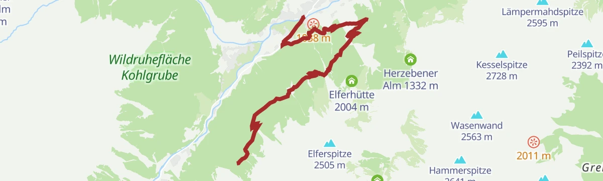
574 Elferrunde
A circuit on the Elfer above Neustift, climbing to the mountain restaurant at 1,794 m and dropping back past the Herzebener Alm.
- 15.7 km
- Distance
- 867 m
- Ascent
- 2 h 20 min
- Duration
- 20
- Check-ins
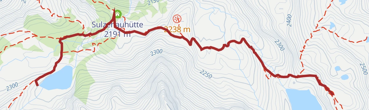
Sulzenau Hütte - Blaue Lacke und Grünausee
A short high-alpine wander from the Sulzenauhütte to the Blaue Lacke and on towards the Grünausee, two glacier-fed lakes in the cirque below the Wilder Freiger.
- 3.2 km
- Distance
- 165 m
- Ascent
- 1 h 12 min
- Duration
- 14
- Check-ins
Wanderparadies Elfer
A generous loop from the Elfer top station past the Elferhütte into the Pinnistal, linking the Karalm, Pinnisalm and Issenangeralm before the return towards Neustift.
- 14.9 km
- Distance
- 459 m
- Ascent
- 4 h 38 min
- Duration
- 41
- Check-ins
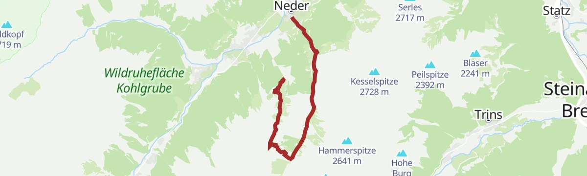
Neder - Innsbrucker Hütte
The full climb from Neder through the Pinnistal past the Pinnisalm and the Karalm to the Pinnisjoch, where the Innsbrucker Hütte sits below the Habicht.
- 10.8 km
- Distance
- 1 434 m
- Ascent
- 8 h 25 min
- Duration
- 36
- Check-ins
572 Milderer Berg
A long forest-road tour above Milders, linking the Auffangalm, Milderaunalm and Brandstatt Alm on the slope above the Stubai valley.
- 18.0 km
- Distance
- 918 m
- Ascent
- 2 h 32 min
- Duration
- 12
- Check-ins
WildeWasserWeg: (Etappe 3) Sulzenau Hütte - Sulzenauferner/Gletscher
Stage three of the water-themed trail, climbing from the Sulzenauhütte to the forefield of the Sulzenauferner, where the glacier's meltwater begins its descent.
- 2.2 km
- Distance
- 282 m
- Ascent
- 1 h 40 min
- Duration
- 14
- Check-ins
Pinnistal: Elfer Bergstation - Pinnisalm - Neder
From the Elfer top station down into the Pinnistal and out past the Pinnisalm, Herzebener Alm and Issenangeralm to Neder, with the gondola sparing the climb.
- 10.3 km
- Distance
- 404 m
- Ascent
- 3 h 26 min
- Duration
- 34
- Check-ins
Pinnistal: Neder bis zur Innsbrucker Hütte
A steady 1,400 m ascent through the Pinnistal from Neder to the Innsbrucker Hütte at the Pinnisjoch, with the Karalm and the Pinnisalm as staging posts.
- 10.0 km
- Distance
- 1 415 m
- Ascent
- 8 h 13 min
- Duration
- 36
- Check-ins
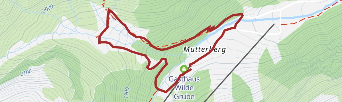
Mutterbergalm Rundwanderweg
A short loop above the Mutterbergalm at the head of the Stubaital, gaining a little height for views back over the valley station and the Wilde Grube.
- 2.9 km
- Distance
- 247 m
- Ascent
- 1 h 34 min
- Duration
- 13
- Check-ins
Mutterbergalm - Dresdner Hütte
The direct hut climb from the Mutterbergalm at the valley head to the Dresdner Hütte, a steady ascent beneath the lift lines of the Stubaier Gletscher.
- 2.8 km
- Distance
- 559 m
- Ascent
- 3 h 7 min
- Duration
- 33
- Check-ins
Alpeiner Wasserfall und Aperer Turm
From the Oberissalm past the Franz-Senn-Hütte into the Alpeiner basin, a demanding day whose goals are a powerful waterfall and a rocky tower viewpoint.
- 8.8 km
- Distance
- 1 274 m
- Ascent
- 7 h 23 min
- Duration
- 33
- Check-ins
Neustift - Wiesenweg Neder - Obergasse - Neustift Dorf
An easy valley loop from Neustift along the meadow path to Neder and back through the Obergasse, linking hamlets on the sunny side of the village.
- 4.8 km
- Distance
- 95 m
- Ascent
- 1 h 21 min
- Duration
- 13
- Check-ins
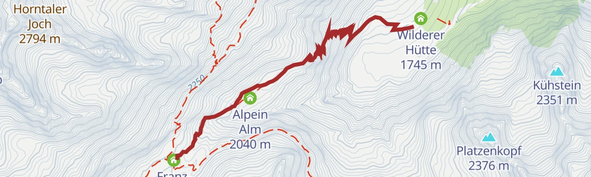
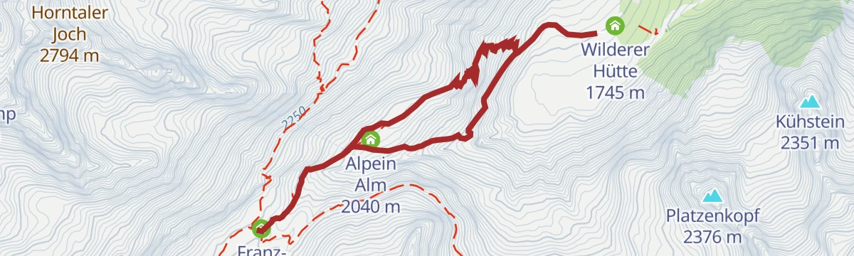
Almwirtschaft Oberiss - Franz-Senn-Hütte
The classic hut approach in the Oberbergtal, climbing from the Oberissalm past the Wilderer Hütte to the Franz-Senn-Hütte at the mouth of the Alpeiner valley.
- 3.4 km
- Distance
- 440 m
- Ascent
- 2 h 36 min
- Duration
- 32
- Check-ins
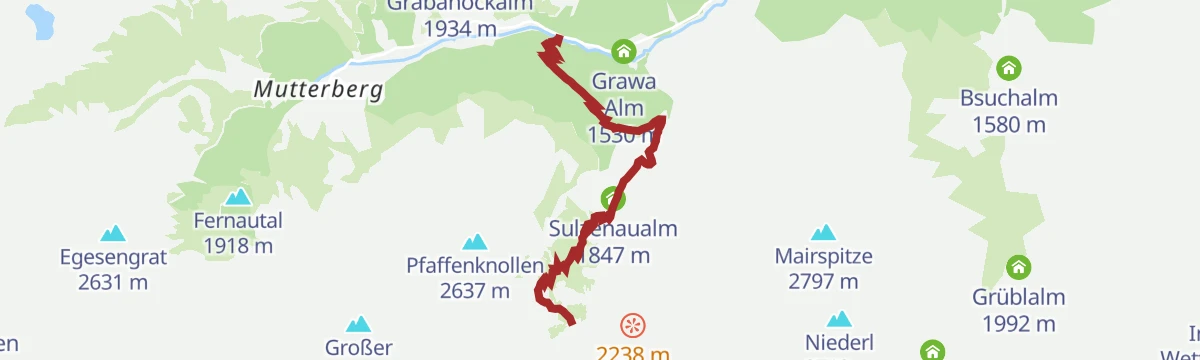
WildeWasserWeg: Gesamtetappe
The full water-themed route from the Tschangelair-Alm past the Grawa waterfall and the Sulzenaualm up to the Sulzenauhütte, following cascades nearly the whole way.
- 9.6 km
- Distance
- 1 215 m
- Ascent
- 7 h 11 min
- Duration
- 33
- Check-ins
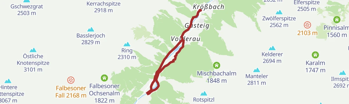
Krößbach - Klaus Äuele - Volderau
An easy valley-floor walk from Krößbach to Volderau past the Klaus Äuele recreation area, following the young Ruetz between the villages.
- 6.6 km
- Distance
- 146 m
- Ascent
- 1 h 54 min
- Duration
- 10
- Check-ins
Elfer Bergstation - Panoramaweg - Karalm
From the Elfer top station along the panorama path into the upper Pinnistal to the Karalm, a moderate out-and-back beneath the Elfer's rock towers.
- 5.7 km
- Distance
- 431 m
- Ascent
- 2 h 49 min
- Duration
- 31
- Check-ins
Rinnensee - Magischer Platz im Rund der Berge
A stiff climb from the Oberissalm past the Franz-Senn-Hütte to a small mountain lake noted for mirroring the surrounding Stubai peaks on calm mornings.
- 5.4 km
- Distance
- 917 m
- Ascent
- 5 h 12 min
- Duration
- 32
- Check-ins
Falbeson - Oberhausalm - Ranalt
Short, easy leg in the upper Stubaital from Falbeson via the Oberhausalm to Ranalt, linking the Gasthof Ranalt and the Waldcafe on gentle paths.
- 2.4 km
- Distance
- 172 m
- Ascent
- 1 h 8 min
- Duration
- 9
- Check-ins
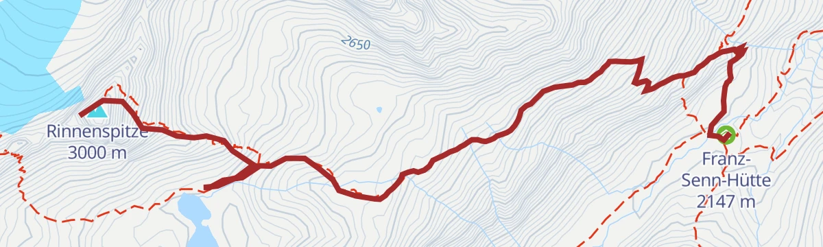
Franz-Senn-Hütte - Rinnensee - Rinnenspitze
From the Franz-Senn-Hütte past the Rinnensee to the Rinnenspitze, a 3,000 m-class Stubai summit reached on a cable-secured final ridge above the tarn.
- 4.1 km
- Distance
- 832 m
- Ascent
- 4 h 37 min
- Duration
- 30
- Check-ins
Maria Waldrast - Kesselspitze
A long climb from Maria Waldrast over the Kalbenjoch onto the Kesselspitze, a quieter 2,700 m summit above the Serlesseen with wide views into the Wipptal.
- 14.3 km
- Distance
- 1 371 m
- Ascent
- 8 h 30 min
- Duration
- 29
- Check-ins
Elfer: Steinzeit
Easy round from the Elferbahn top station toward the Karalm on the stone-themed Steinzeit path — gentle enough for families, with the lift doing the climbing.
- 3.9 km
- Distance
- 116 m
- Ascent
- 1 h 12 min
- Duration
- 7
- Check-ins
Auf den Spuren von Franz Senn
A themed approach to the Franz-Senn-Hütte from the Oberissalm, tracing the life of the glacier priest Franz Senn, a founding figure of the Alpine Club.
- 5.1 km
- Distance
- 431 m
- Ascent
- 2 h 45 min
- Duration
- 27
- Check-ins
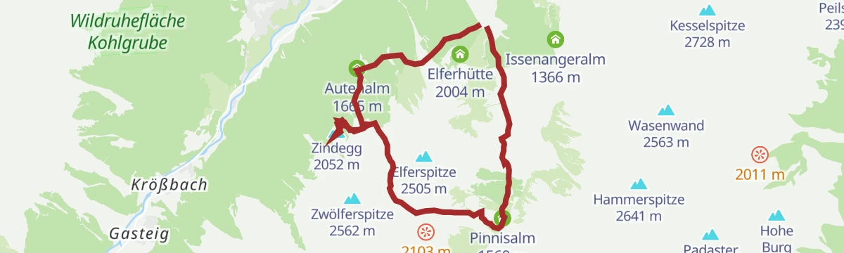
Elfer Bergstation - Autenalm - Zindegg - Zwölfernieder - Pinnisalm - Elfer Bergstation
A high loop from the Elfer top station via the Autenalm and Zindegg to the Zwölfernieder, dropping to the Pinnisalm before the return traverse.
- 11.8 km
- Distance
- 1 127 m
- Ascent
- 7 h
- Duration
- 25
- Check-ins
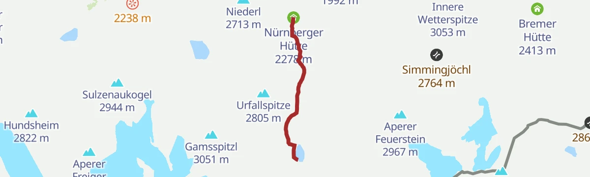
Nürnberger Hütte - Freigersee
Short high-mountain extension from the Nürnberger Hütte to the Freiger See, an easy 230 m rise to a stone-bowl lake beneath the Wilder Freiger.
- 2.3 km
- Distance
- 228 m
- Ascent
- 1 h 24 min
- Duration
- 7
- Check-ins
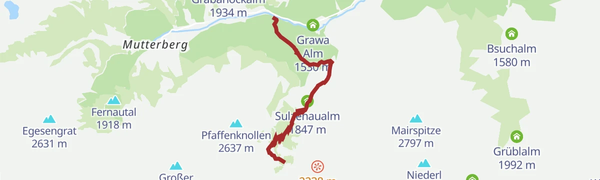
Sulzenaufall
A steady climb from the Grawa Alm area past the Sulzenaualm to the waterfall that pours over the rock step below the Sulzenauhütte.
- 3.9 km
- Distance
- 620 m
- Ascent
- 3 h 33 min
- Duration
- 26
- Check-ins
Neustift - Bergstation Elferbahn - Autenalm - Neustift
A long round from Neustift climbing to the Elferbahn top station and returning via the Autenalm, done entirely on foot rather than with the gondola.
- 15.0 km
- Distance
- 919 m
- Ascent
- 6 h 20 min
- Duration
- 16
- Check-ins
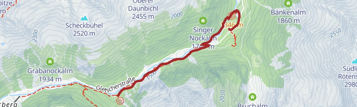
WildeWasserWeg: (Etappe 1) WildeWasserArena - Ruetz Katarakt – Tschangelair Alm – Grawa Wasserfall/Grawa Alm
Opening leg of the WildeWasserWeg from the Ruetz Katarakt past the Tschangelair Alm to the Grawa Wasserfall, among the widest falls in the Eastern Alps — easy waterside walking.
- 4.1 km
- Distance
- 231 m
- Ascent
- 1 h 38 min
- Duration
- 7
- Check-ins
Tour: Bushaltestelle Sulzenauhütte - Sulzenauhütte
From the bus stop on the glacier road up past the Sulzenaualm and the waterfall step to the Sulzenauhütte on its glacier-carved shelf.
- 4.4 km
- Distance
- 625 m
- Ascent
- 3 h 38 min
- Duration
- 26
- Check-ins
No routes of this kind in Neustift im Stubaital yet.
The region's own picks
Featured route
Dresdner Hütte - Egesengrat
A short but steep pull from the Dresdner Hütte onto the Egesengrat, gaining a rocky vantage point over the Stubai glacier basin and the Egesensee.
Planning a trip to Neustift im Stubaital?
Everything else Tyrol has, in one place


Take Neustift im Stubaital with you into the mountains
Every route on this page with 3D terrain, GPX navigation and offline maps — including the valleys with no signal.
Data sources
- Official website: stubai.at ↗
- Routes and highlights: Tourismusverband Stubai Tirol, Innsbruck Tourismus, Wipptal Tourismus
- Published as open data by the tourist boards named above.
- Region summary generated from the board's own material.
