

 Historic site
 Cable car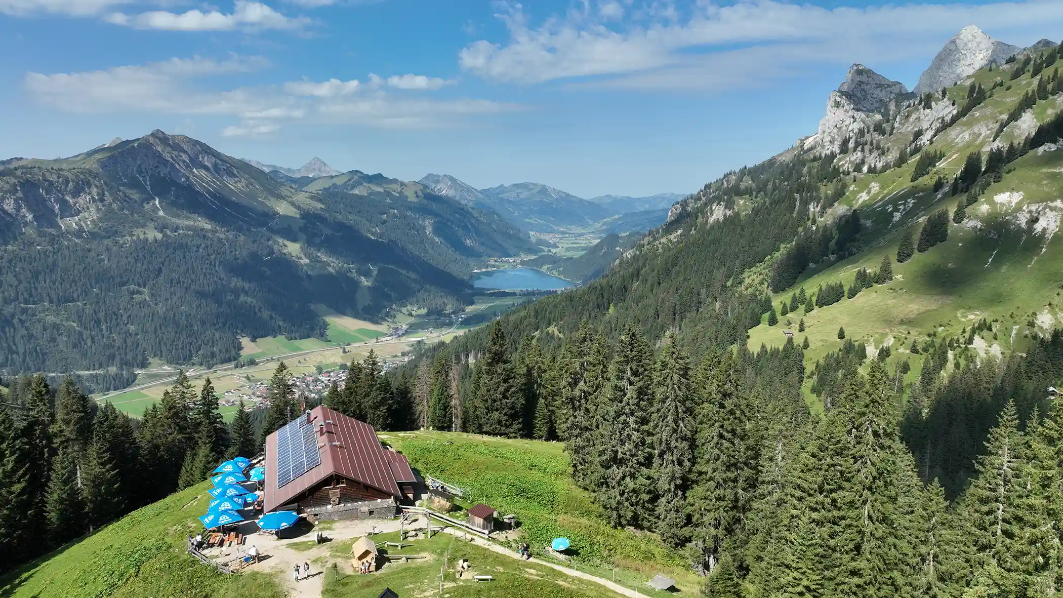










Curated by Tannheimer Tal
Nesselwängle
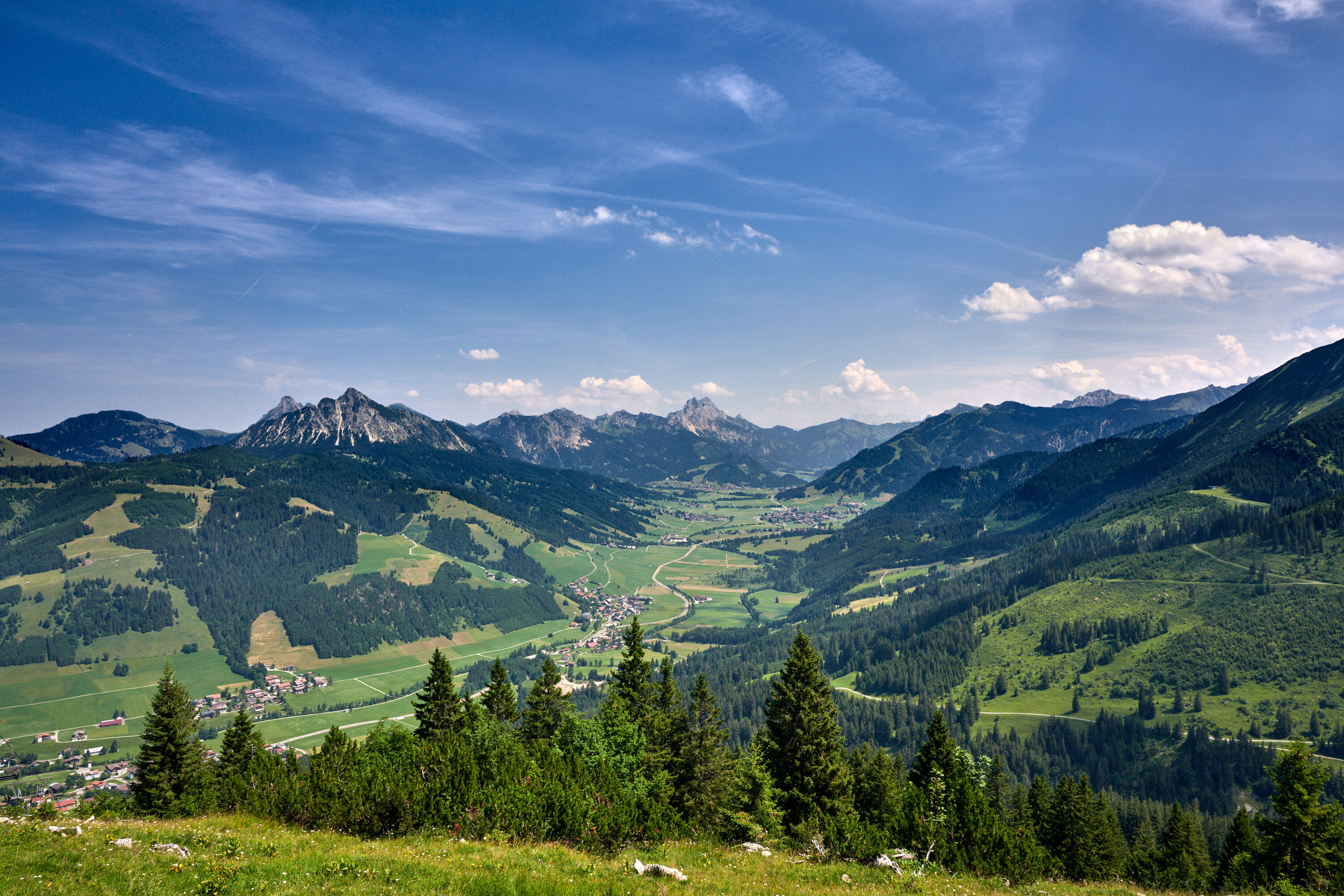
The easternmost village terrace of the Tannheimer Tal, at about 1140 m below the climbing rocks of Gimpel and Rote Flüh.
- 4Highlights
- 62Routes
- Featured summit · Kellenspitze
Highlights
11 from neighbouring places
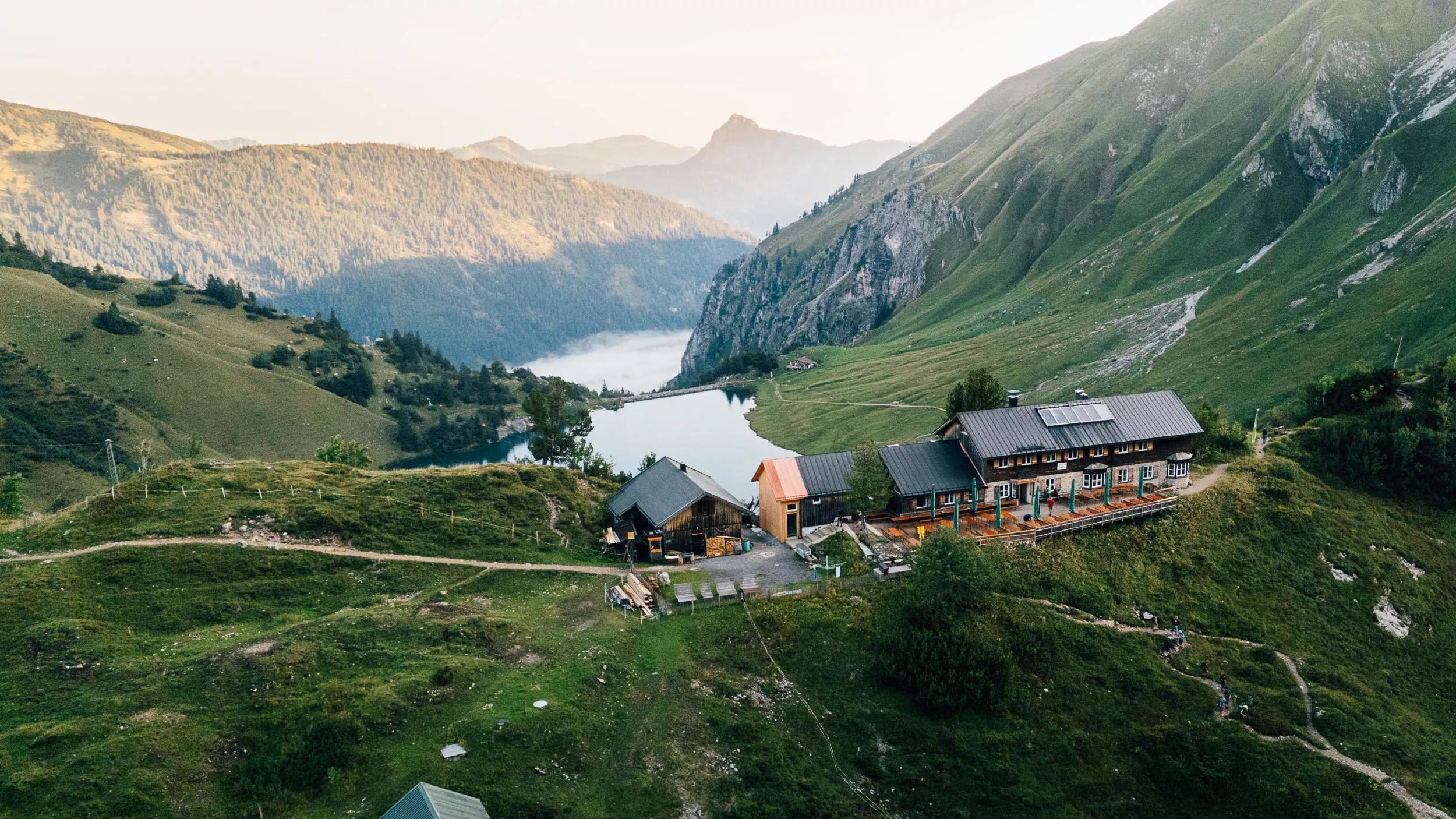
Gimpelhaus
A mountain hut above Nesselwängle below the Gimpel and Rote Flüh, the traditional base for climbers in the Tannheim range.
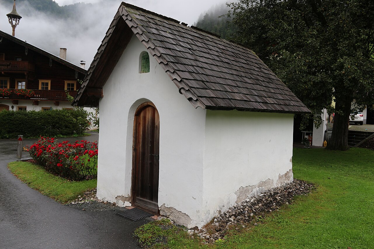
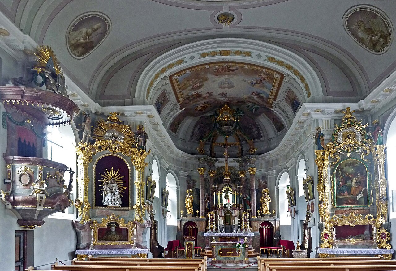
Antonius Kapelle
A village chapel in Nesselwängle dedicated to St Anthony, a small devotional stop below the Tannheim climbing peaks.
Spielplatz am Schmittebächle in Nesselwängle
A playground beside the Schmitte brook in Nesselwängle, where children can combine play equipment with shallow water to splash in.
Waldspielplatz in Nesselwängle
A forest playground at Nesselwängle, a shaded natural play area below the rock peaks of the Tannheim range.
Berggut Gaicht
2.8 km away, in Weißenbach am Lech
A mountain estate at Gaicht above Nesselwängle, offering hut-style lodging near the pass between the Tannheimer Tal and the Lech valley.
Waldspielplatz am Bächle Grän
3.2 km away, in Grän
A forest playground by a small stream near Grän, with natural play features under the trees close to the Haldensee.
Bergbahnen Tannheimer Tal - Füssener Jöchle
3.6 km away, in Grän
A gondola from Grän up to the Füssener Jöchle, opening walks along the ridge country between the Tannheimer Tal and the Allgäu.
Schneetalalm
3.6 km away, in Wängle
A hut in the Schneetal high above Höfen, part of the Hahnenkamm mountain area near Reutte, serving walkers and skiers.
Füssener Hütte
3.7 km away, in Musau
A mountain hut in the Tannheim range above Musau, a starting point for walks and climbs on the surrounding limestone peaks.
Fischwasser Weißenbach und Nesselwängler Ache
3.7 km away, in Weißenbach am Lech
Fly-fishing waters on the Weissenbach and Nesselwängler Ache near Weissenbach am Lech, clear mountain streams in the Tiroler Lech nature park.
Pfarrkirche zum Hl. Wendelin
3.8 km away, in Grän
The parish church of Grän in the Tannheimer Tal, dedicated to St Wendelin, the patron saint of shepherds and herders.
Vater-unser-Weg
4.1 km away, in Grän
A contemplative themed path at Grän whose stations follow the lines of the Lord's Prayer, laid out for a quiet walk near the village.
Erlebnisspielplatz in Grän
4.2 km away, in Grän
An adventure playground in Grän at 1,138 m, one of a chain of free village play areas along the Tannheimer Tal.
Lechaschauer Alm
4.3 km away, in Wängle
An alpine pasture hut on the slopes above Lechaschau near Reutte, serving refreshments to walkers in the Naturparkregion Reutte.
Landsberger Hütte 1.810 m
5.1 km away, in Tannheim
A refuge at 1,810 m in the Tannheim mountains, set among the lake basins above the Vilsalpsee and serving regional dishes to walkers.
Nothing of this kind in Nesselwängle.
Routes
50 routes, an even mix of activities · see the rest on tannheimertal.com ↗
Friedberger Klettersteig
Ridge via ferrata over the Schartschrofen, reached from the Füssener Jöchle lift above Grän, linking on toward the Judenscharte and the Gimpelhaus.
- 6.3 km
- Distance
- 424 m
- Ascent
- 3 h 40 min
- Duration
- 252
- Check-ins
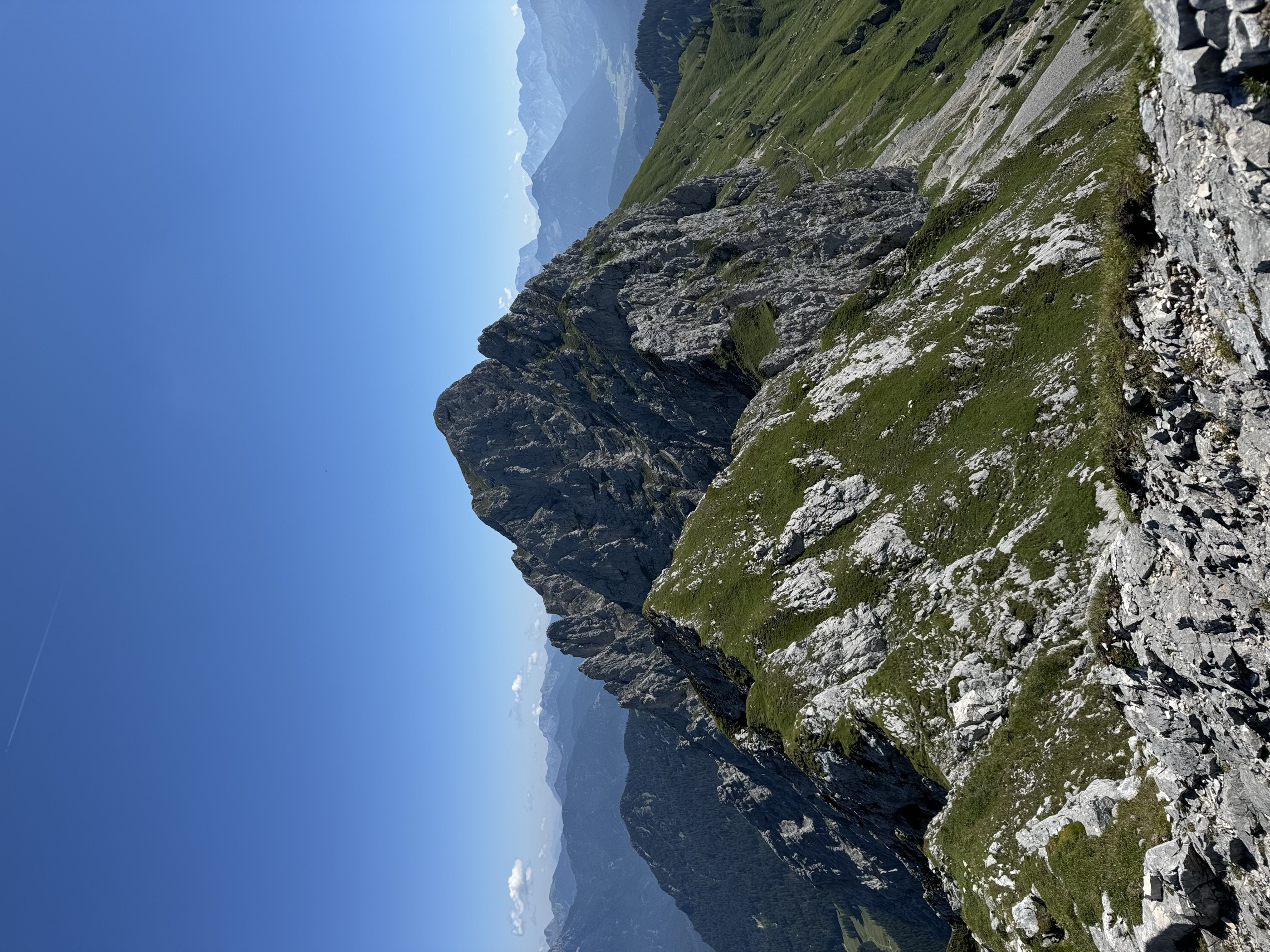
Klettersteig Köllenspitze
Serious via ferrata on the Köllenspitze, highest summit of the Tannheim group, climbing from the Gimpelhaus side by the Nesselwängler Scharte.
- 8.9 km
- Distance
- 1 173 m
- Ascent
- 8 h 38 min
- Duration
- 79
- Check-ins
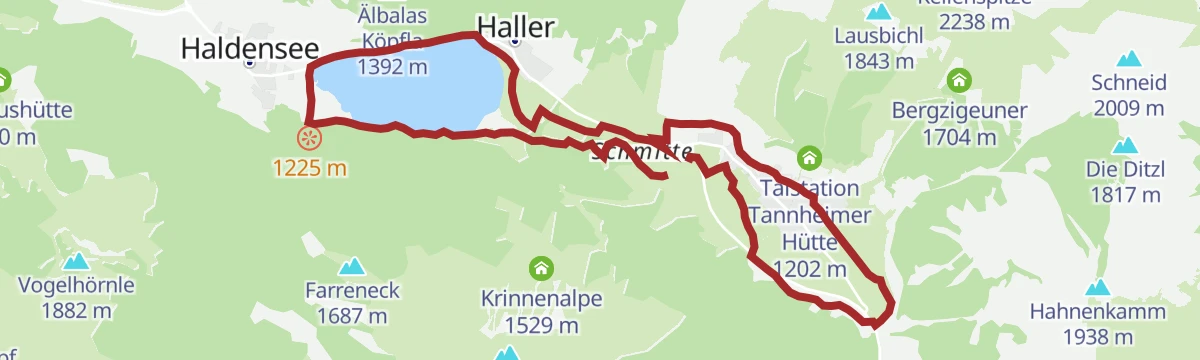
Haldensee-Runde
Flat lakeside loop around the Haldensee past bathing spots and shoreline cafés, an easy round for families or an evening leg-stretch.
- 4.3 km
- Distance
- 59 m
- Ascent
- 1 h 9 min
- Duration
- 46
- Check-ins
Gessenwangalm - Füssener Jöchle - Sonnenalm
Loop above Grän climbing past the Gessewang-Alpe to the Füssener Jöchle and the Sonnenalm, joining quiet alm tracks with the lift-station terraces.
- 8.7 km
- Distance
- 701 m
- Ascent
- 4 h 30 min
- Duration
- 122
- Check-ins
Füssener Hütte - Otto Mayr Hütte
Hut-to-hut route from the Füssener Jöchle over the Reintaljöchl to the Otto-Mayr-Hütte, crossing the quiet karst hollows of the Tannheim range.
- 11.1 km
- Distance
- 1 001 m
- Ascent
- 6 h 17 min
- Duration
- 184
- Check-ins
Shared Trail Almboden
A short shared singletrack across the pasture between the Krinnenalpe and the Edenalpe, almost level from end to end.
- 1.5 km
- Distance
- 6 m
- Ascent
- 9 min
- Duration
- 22
- Check-ins
Adlerhorstrunde
A rolling circuit around the Haldensee, climbing to the Adlerhorst at 1,317 m and crossing the watershed between the Vils and the Lech.
- 13.6 km
- Distance
- 399 m
- Ascent
- 1 h 35 min
- Duration
- 56
- Check-ins
Gravelbike Tour 3.1 - Talumrundung Tannheimer Tal
A forest-road circuit of the Tannheimer Tal from Schattwald, passing the Haldensee shore and Tauscher's Alm before the return through Tannheim.
- 53.7 km
- Distance
- 1 675 m
- Ascent
- 6 h 21 min
- Duration
- 119
- Check-ins
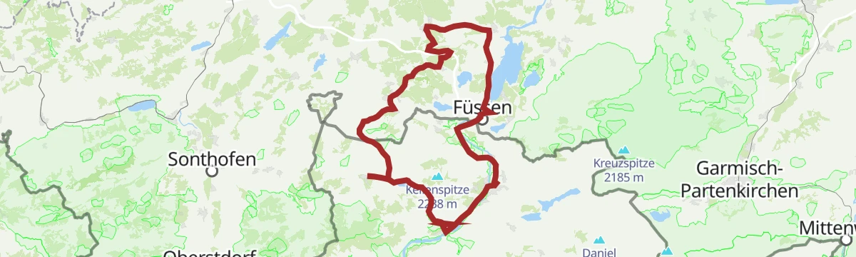
2026_RAD-MARATHON_103 km
The long course of a road marathon out of the Tannheimer Tal, crossing the Oberjoch pass and the Wertach-Iller watershed on the German side.
- 103.4 km
- Distance
- 1 489 m
- Ascent
- 10 h 34 min
- Duration
- 203
- Check-ins
Zu der Edenbachalm in Haldensee
Gentle walk from the Haldensee shore to the Edenbachalpe, a small pasture hut above the lake, passing Tauscher's Alm along the way.
- 6.5 km
- Distance
- 288 m
- Ascent
- 2 h 15 min
- Duration
- 37
- Check-ins
Schneetalalm - Gimpelhaus - Gehrenspitze
From Nesselwängle via the Schneetal Alm to the Gimpelhaus and up the Gehrenspitze, the corner peak of the Tannheim group above the Haldensee.
- 9.0 km
- Distance
- 710 m
- Ascent
- 4 h 36 min
- Duration
- 98
- Check-ins
2026 SEEN-LAUF Tannheimer Tal - 6 Hütten-TRAIL (L)
Long course of the Tannheim valley lake run, stringing six huts around the Haldensee and the Gimpel flank; runnable paths with sustained climbing.
- 25.2 km
- Distance
- 1 602 m
- Ascent
- 10 h 56 min
- Duration
- 172
- Check-ins
Kneipptour
An easy short loop below the Gimpel, passing the valley stations that serve the Tannheimer Hütte and the Gimpelhaus.
- 5.5 km
- Distance
- 157 m
- Ascent
- 38 min
- Duration
- 12
- Check-ins
Almtour
A short, steep forest-road climb out of the Tannheimer Tal to the Gräner Ödenalpe and the Edenalpe below the Farreneck.
- 8.1 km
- Distance
- 662 m
- Ascent
- 1 h 37 min
- Duration
- 23
- Check-ins
Talumrundung
A full circuit of the Tannheimer Tal on forest and alm roads, past the Haldensee campsites and the Tannheimer Hütte valley station.
- 53.1 km
- Distance
- 1 699 m
- Ascent
- 6 h 19 min
- Duration
- 105
- Check-ins
Oberjochrunde
A long road circuit from Vils over the Oberjochpass at 1,150 m, crossing the Wertach-Iller watershed and passing the Wiedhag-Alpe.
- 82.7 km
- Distance
- 1 101 m
- Ascent
- 8 h 22 min
- Duration
- 194
- Check-ins
Haldensee - Haller
Short lakeside link between Haldensee village and Haller on the shore path, passing the Herzerl am See photo spot.
- 1.9 km
- Distance
- 44 m
- Ascent
- 34 min
- Duration
- 14
- Check-ins
2026 SEEN-LAUF Tannheimer Tal - 3 Hütten-Trail (S)
Short trail-run course of the valley's lake race, climbing over the Krinnenalpe and Gräner Ödenalpe before dropping back to the Haldensee shore.
- 12.9 km
- Distance
- 798 m
- Ascent
- 5 h 29 min
- Duration
- 75
- Check-ins
Schneetalalm - Rote Flüh - Gimpelhaus
From Nesselwängle through the Schneetal to the Rote Flüh, the red-hued climbers' peak above the Gimpelhaus, with the Judenscharte on the return.
- 10.5 km
- Distance
- 1 089 m
- Ascent
- 6 h 39 min
- Duration
- 143
- Check-ins
Meraner Steig
A mid-length route of singletrack and forest road on the slopes above Nesselwängle in the Tannheimer Tal, with 467 m of climbing.
- 12.9 km
- Distance
- 467 m
- Ascent
- 1 h 35 min
- Duration
Talumrundung Tannheim (8016)
A waymarked round of the valley on gravel and alm roads, topping the Älbalas Köpfla and passing Schattwald and the Haldensee shore.
- 51.4 km
- Distance
- 1 841 m
- Ascent
- 6 h 18 min
- Duration
- 90
- Check-ins
2026_RAD-MARATHON_66 km
The shorter of the two marathon courses out of the Tannheimer Tal, again over the Oberjoch pass and past the Moorhütte and the Wiedhag-Alpe.
- 65.9 km
- Distance
- 1 087 m
- Ascent
- 6 h 52 min
- Duration
- 186
- Check-ins
2026 Seen-Lauf Tannheimer Tal - 3km Schülerlauf
A flat schoolchildren's race lap for the annual Seen-Lauf event, laid out on level valley paths near Nesselwängle.
- 1.1 km
- Distance
- 26 m
- Ascent
- 19 min
- Duration
Nesselwängler Edenalpe - Gräner Ödenalpe - Haldensee - Litnis (2.068m)
Varied round above the Haldensee linking the Nesselwängler Edenalpe and Gräner Ödenalpe with the Litnisschrofen, whose 2,068 m top needs sure feet.
- 10.3 km
- Distance
- 690 m
- Ascent
- 4 h 38 min
- Duration
- 72
- Check-ins
Durch´s Birkental
Long circuit through the Birkental behind Nesselwängle, climbing to the Gappenfeld and Strinden scharten before returning along the Haldensee.
- 25.1 km
- Distance
- 1 254 m
- Ascent
- 9 h 11 min
- Duration
- 108
- Check-ins
Ins Tannheimer Tal | MTB Tour
A long valley ride over the Gaichtpass and the Vils-Lech watershed, reaching the shore of the Haldensee at the Haldenseehaus.
- 20.3 km
- Distance
- 497 m
- Ascent
- 2 h 16 min
- Duration
- 19
- Check-ins
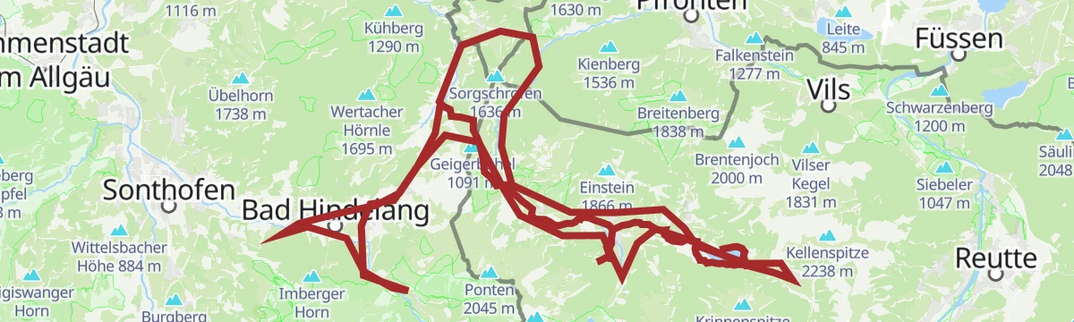
GrenzenLoser Radspaß Bad Hindelang Tannheimer Tal
A long day on the road between the Tannheimer Tal and Bad Hindelang, crossing the border at Oberjoch and the Wertach/Iller watershed.
- 116.5 km
- Distance
- 2 351 m
- Ascent
- 12 h 33 min
- Duration
- 181
- Check-ins
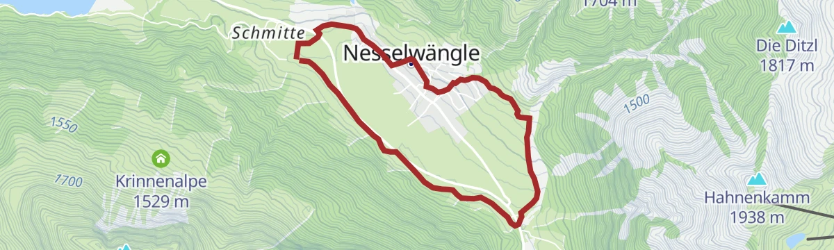
Dorfrunde
Relaxed loop around Nesselwängle beneath the rock walls of the Gimpel and Rote Flüh, on level village paths.
- 5.1 km
- Distance
- 115 m
- Ascent
- 1 h 28 min
- Duration
2026 SEEN-LAUF Tannheimer Tal - 7 km Nordic Walking
Nordic-walking course of the valley's lake-run event, a 7 km lap around the Haldensee with minimal gradient and constant water views.
- 7.3 km
- Distance
- 100 m
- Ascent
- 1 h 57 min
- Duration
- 61
- Check-ins
2026 SEEN-LAUF Tannheimer Tal - 25 km Lauf
Flat 25 km race lap of the Tannheim valley floor between Haldensee and Tannheim, run mostly beside the Vils with barely 350 m of climbing.
- 24.9 km
- Distance
- 345 m
- Ascent
- 6 h 41 min
- Duration
- 84
- Check-ins
Bannwaldseerunde
A long road tour from the Lech valley over to Füssen and Hohenschwangau, returning through the Tannheimer Tal past the Haldensee.
- 95.3 km
- Distance
- 1 155 m
- Ascent
- 9 h 32 min
- Duration
- 127
- Check-ins
Nesselwängle - Haller - Haldensee
Short, level link from Nesselwängle through Haller to the shore of the Haldensee — an easy stroll to the lake.
- 2.5 km
- Distance
- 68 m
- Ascent
- 46 min
- Duration
Haller Haldensee Runde
Circuit of the Haldensee from Haller, passing lakeside stops like Tauscher's Alm and the Vils/Lech watershed marker on mostly level paths.
- 7.2 km
- Distance
- 186 m
- Ascent
- 2 h 9 min
- Duration
- 61
- Check-ins
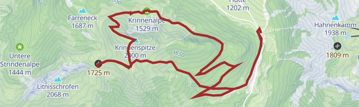
Krinnenspitze in Nesselwängle
Long summit circuit onto the Krinnenspitze, connecting the Krinnenalpe, Nesselwängler Edenalpe and Gräner Ödenalpe — grassy ridges with Haldensee views.
- 14.1 km
- Distance
- 905 m
- Ascent
- 6 h 10 min
- Duration
- 61
- Check-ins
Gravelbike Tour 1.1 - Rund um die Tannheimer Berge
A long gravel circuit right around the Tannheimer Berge, from Hohenschwangau past the Alatsee and back below the Tannheimer Hütte valley station.
- 80.7 km
- Distance
- 1 573 m
- Ascent
- 8 h 38 min
- Duration
- 114
- Check-ins
Nesselwängle - Rauth
Level walk from Nesselwängle down-valley to Rauth, following quiet paths along the floor of the Tannheimer Tal.
- 6.7 km
- Distance
- 102 m
- Ascent
- 1 h 49 min
- Duration
Gimpelhaus
Steady climb past the Gimpelalpe to the climbers' hut beneath the rock faces of the Gimpel and Rote Flüh — a base for the routes on the Tannheim crags.
- 5.1 km
- Distance
- 527 m
- Ascent
- 3 h 13 min
- Duration
- 58
- Check-ins
Radweg Tannheimer Tal - Radwandern
Valley cycle route running the length of the Tannheimer Tal beside the Vils, linking Schattwald, Tannheim and the Haldensee on almost level ground.
- 19.1 km
- Distance
- 113 m
- Ascent
- 4 h 45 min
- Duration
- 53
- Check-ins
 Tauscher's Alm 1 136 m
- Natur-Camping-Haldensee 1 126 m
- Restaurant Auszeit 1 080 m
- Fischteich 1 080 m
- Haus Schattwald 1 100 m
 Tagesspeicher Vilsstausee 1 049 m
Forggenseerunde
A ninety-kilometre road loop from Vils to the Forggensee at Füssen, coming back through the Tannheimer Tal past the Haldensee.
- 92.7 km
- Distance
- 1 385 m
- Ascent
- 9 h 32 min
- Duration
- 106
- Check-ins
Winterwanderweg Krinnenalpe - Edenalpe
Easy winter walking path between the Krinnenalpe and the Edenalpe, a short high-level link with views over the snowed-in Tannheimer Tal.
- 3.7 km
- Distance
- 122 m
- Ascent
- 1 h 10 min
- Duration
Adlerhorst Runde
Round from the Haldensee up to the Adlerhorst viewpoint perch, returning along the Vils-Lech watershed; moderate climbing on forest tracks.
- 10.1 km
- Distance
- 359 m
- Ascent
- 3 h 15 min
- Duration
- 55
- Check-ins
Krinnenspitze
The long way up Nesselwängle's grassy local summit, climbing over 1,100 m via the Krinnenalpe and returning past the Gräner Ödenalpe — wide views over the Haldensee from the top.
- 16.7 km
- Distance
- 1 105 m
- Ascent
- 7 h 27 min
- Duration
- 52
- Check-ins
Gravelbike Tour 3.1 - Talumrundung Tannheimer Tal
A gravel circuit of the whole valley from Schattwald to the Haldensee, taking in the Älbalas Köpfla and nearly 2,000 m of climbing.
- 53.7 km
- Distance
- 1 954 m
- Ascent
- 6 h 37 min
- Duration
- 105
- Check-ins
Hahnenkamm
Ascent of Reutte's local ridge above Höfen, taking in the Hornberg and the Tiefjoch, with the Schneetal Alm and a summit restaurant for breaks along the way.
- 9.8 km
- Distance
- 888 m
- Ascent
- 5 h 34 min
- Duration
- 50
- Check-ins
Seen-Lauf 22,2 km
22 km course tying together the valley's lakes, from the Haldensee along the Vils to Tannheim and the Vilsalpsee turnaround, mostly flat gravel and asphalt.
- 22.1 km
- Distance
- 271 m
- Ascent
- 5 h 50 min
- Duration
- 52
- Check-ins
Gaichtpassrunde
A road loop over the Gaichtpass into the Tannheimer Tal, passing the Haldensee and the Altes Zollhaus before the descent back to the Lech.
- 56.5 km
- Distance
- 732 m
- Ascent
- 5 h 42 min
- Duration
- 93
- Check-ins
2026 SEEN-LAUF Tannheimer Tal - 12 km Lauf
12 km running lap around the Haldensee and along the valley floor, flat and fast on maintained paths; part of the annual lake-run event.
- 11.8 km
- Distance
- 164 m
- Ascent
- 3 h 10 min
- Duration
- 47
- Check-ins
Von Haldensee zum Litnisschrofen
Demanding climb from the Haldensee to the Litnisschrofen, whose rocky summit finish asks for sure feet, returning by the Gräner Ödenalpe.
- 10.4 km
- Distance
- 934 m
- Ascent
- 5 h 52 min
- Duration
- 46
- Check-ins
Namlosrunde
A long road circuit from Reutte through the Tannheimer Tal past the Haldensee, crossing the Vils–Lech watershed on the way home.
- 87.1 km
- Distance
- 1 713 m
- Ascent
- 9 h 21 min
- Duration
- 85
- Check-ins
Adlerhorst Variante 1
Loop from Grän over the Älbalas Köpfla to the Adlerhorst viewpoint, returning past the Herzerl am See on the Haldensee shore.
- 7.2 km
- Distance
- 333 m
- Ascent
- 2 h 31 min
- Duration
- 23
- Check-ins
No routes of this kind in Nesselwängle yet.
The region's own picks

Featured route
Haldensee-Runde
Flat lakeside loop around the Haldensee past bathing spots and shoreline cafés, an easy round for families or an evening leg-stretch.
Planning a trip to Nesselwängle?
Everything else Tyrol has, in one place


Take Nesselwängle with you into the mountains
Every route on this page with 3D terrain, GPX navigation and offline maps — including the valleys with no signal.
Data sources
- Official website: tannheimertal.com ↗
- Routes and highlights: Tannheimer Tal, Naturparkregion Reutte, Lechtal Tourismus
- Published as open data by the tourist boards named above.
- Region summary generated from the board's own material.
