
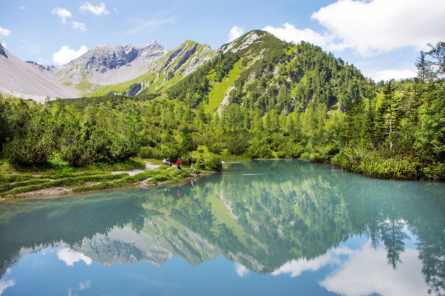
Curated by Alpenregion Vorarlberg
Nenzing
A Walgau market community whose ground runs from the Ill up the long Gamperdonatal to the Nenzinger Himmel summer village under the Rätikon.
- 15Highlights
- 17Routes
Highlights
All 15 from neighbouring places
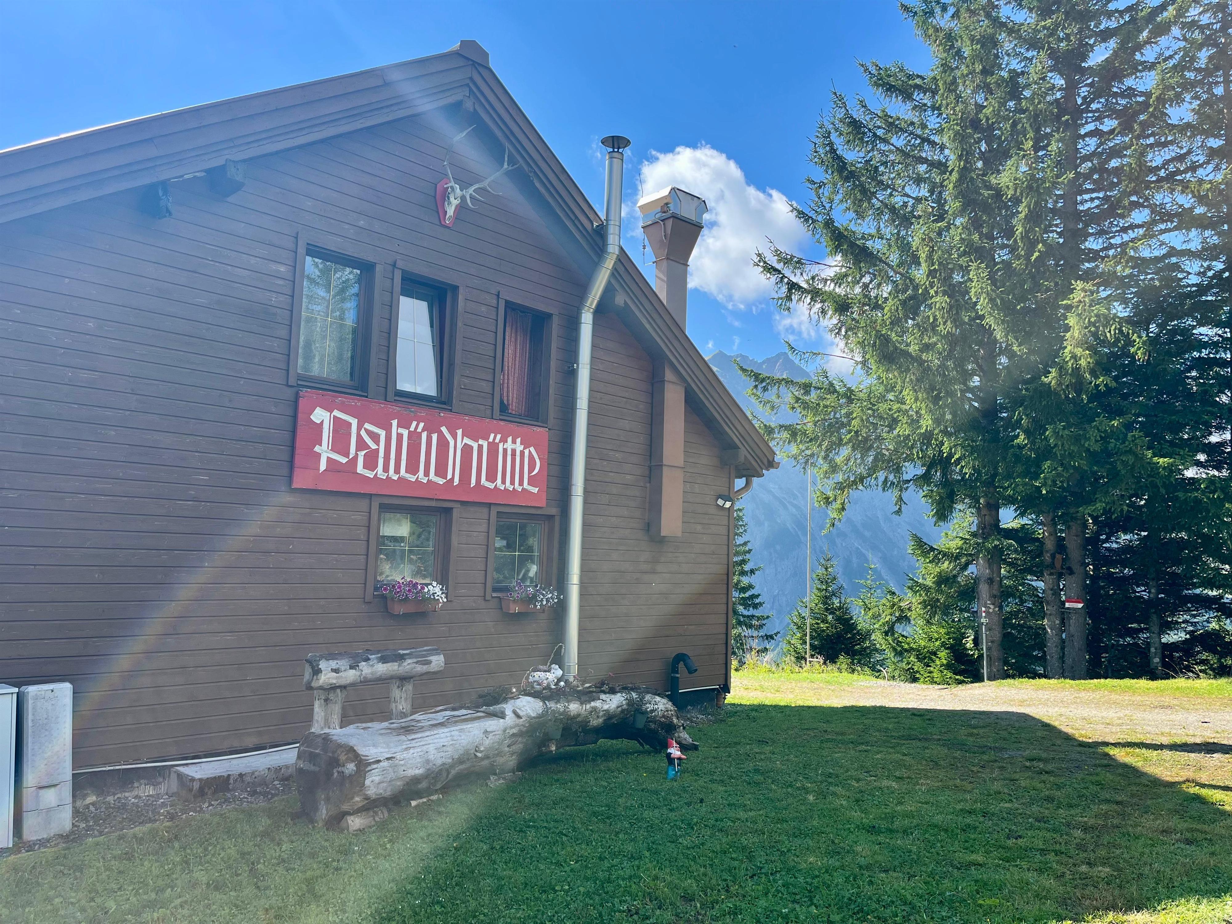
Palüdhütte
5.2 km away, in Brand
A rustic hut on the Palüd slope above Brand, open to the length of the valley.
Loischkopf
5.3 km away, in Bürserberg
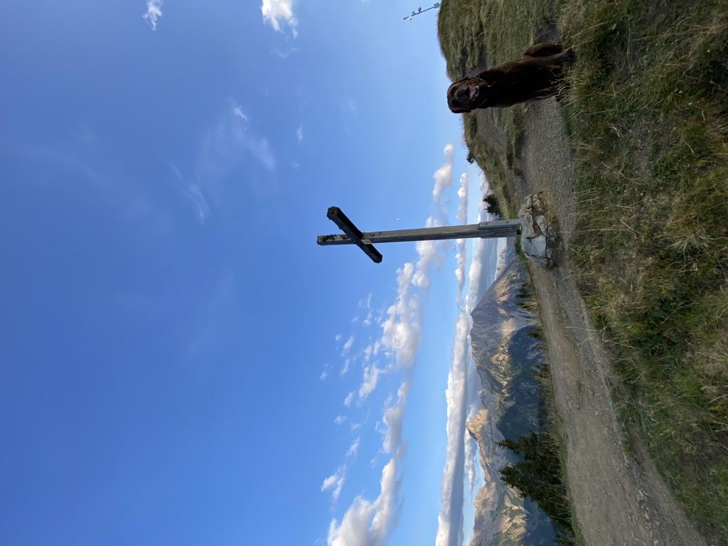
The rounded top above the Tschengla, an easy summit with the Rätikon opposite.
Taleu
6 km away, in Bürserberg
A quiet top on the shelf above the village, on the way over to the Loischkopf.
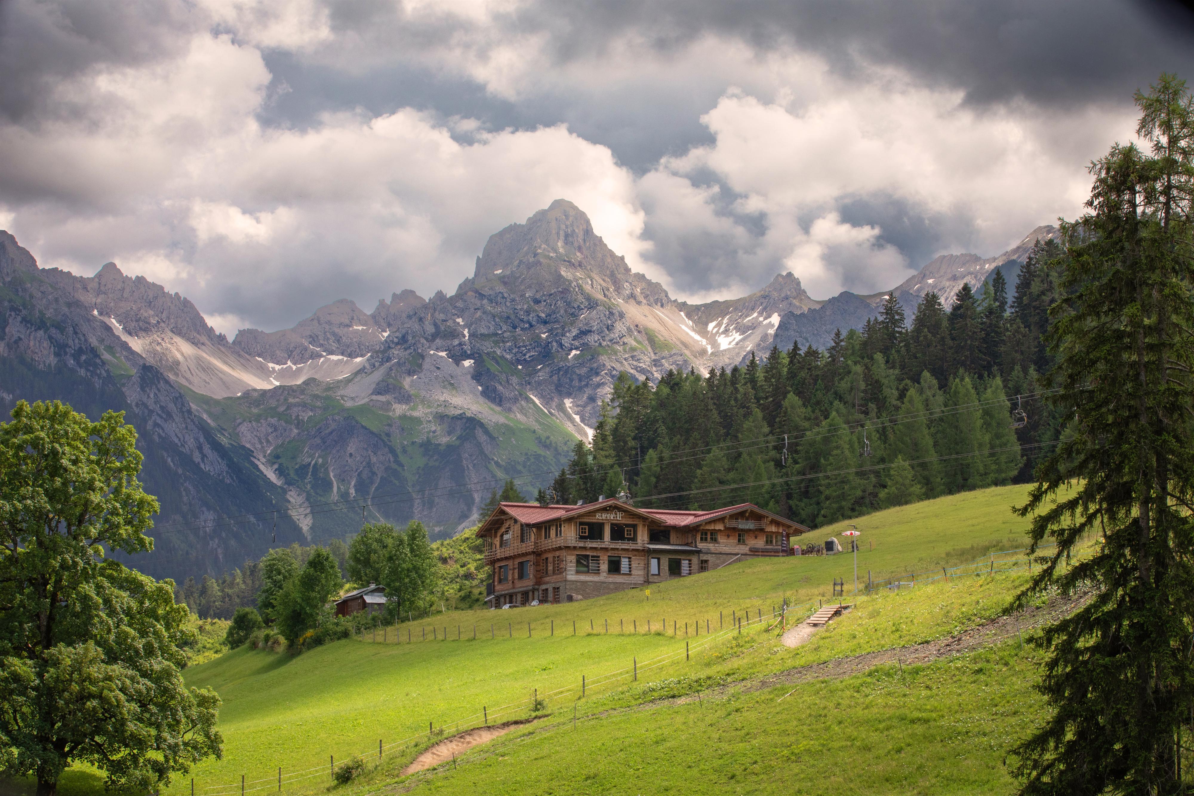
Rufana Alp
6.4 km away, in Bürserberg
A working alp on the Bürserberg slope, and a place to stop on the way up.
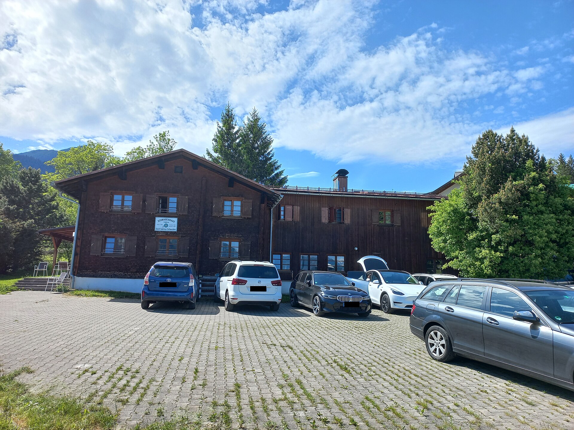
Schwabenhaus
6.6 km away, in Bürserberg
A self-catering hut of the Swabian DAV section, inside the Brandnertal ski area.
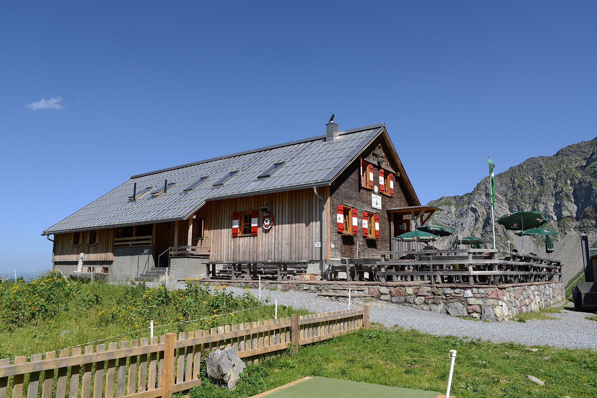
 Mountain hut Feel free to use my photos, but please mention me as the author and if you want send me a message. or (rufre@lenz-nenning.at) · CC BY-SA 3.0 at
Oberzalimhütte
6.9 km away, in Brand
A DAV hut in the Zalimtal above Brand, on the way up to the Schesaplana.
Berggasthaus Zimba
7 km away, in Bürserberg
A mountain inn near the gondola station, named for the peak it looks across at.
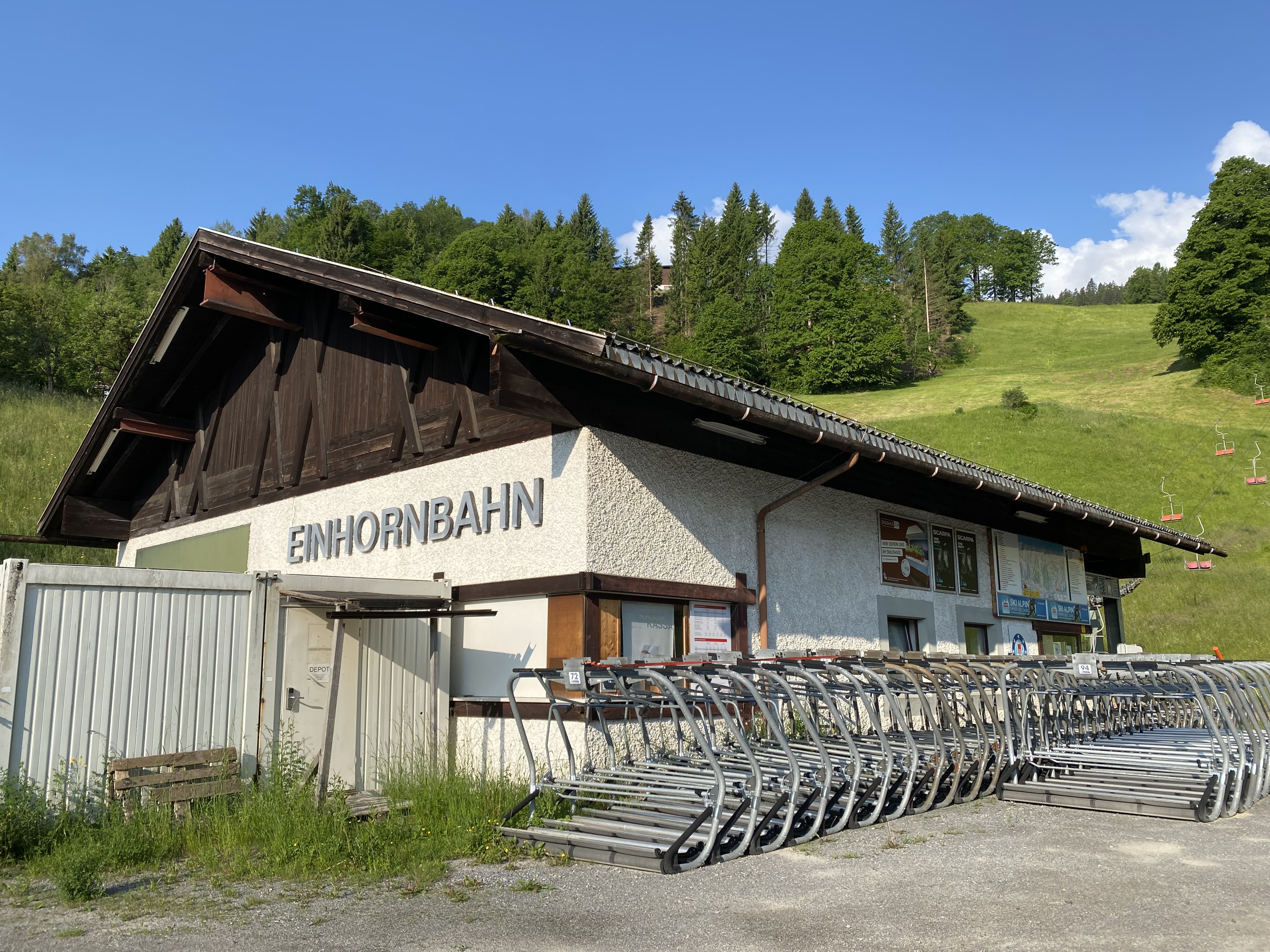
Einhornbahn I
7.2 km away, in Bürserberg
The lifts here date from 1971/72; the area was later joined to Brand across the valley.
Burgruine Jagdberg, Schlins
7.2 km away, in Schlins
The remains of Jagdberg castle on the hill above Schlins in the Walgau, the site that gave the surrounding district its name.
Pfarrkirche "Heiliger Josef"
7.9 km away, in Bürserberg
Bürserberg broke away from the parish of Bürs in 1736, and the church took on its baroque character then.
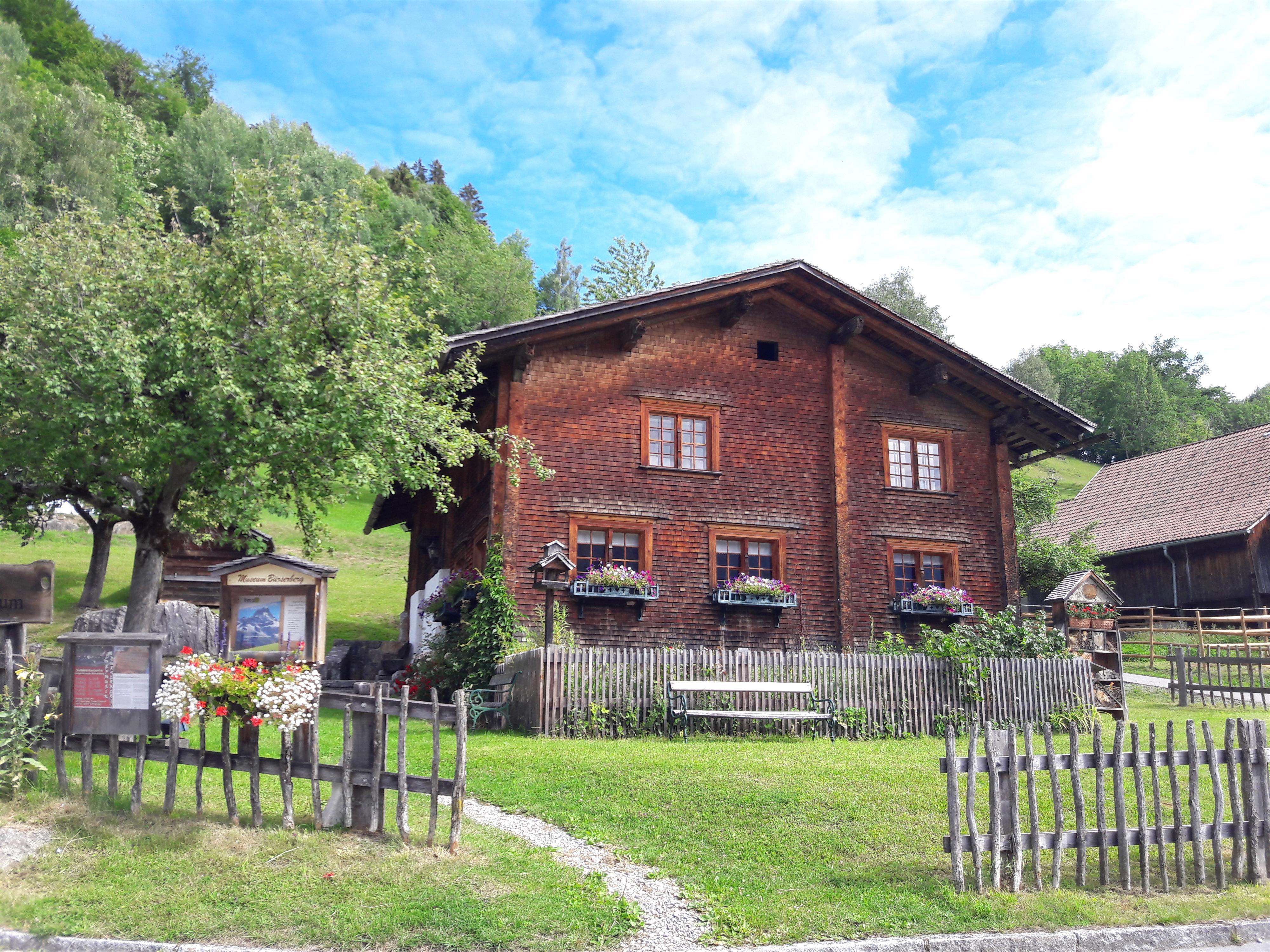
Heimatmuseum Paarhof Buacher
7.9 km away, in Bürserberg
A paired farmhouse kept as it was, showing how a family here lived off the slope.
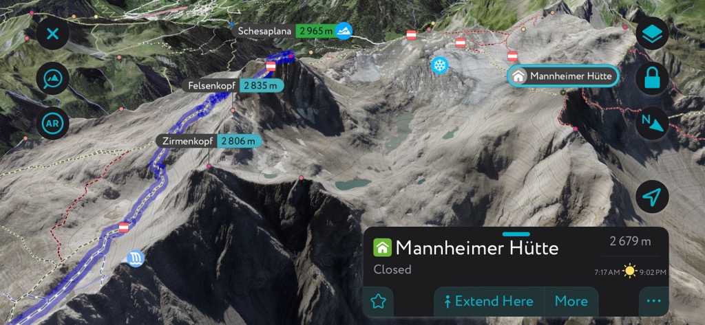
Mannheimer Hütte
8.4 km away, in Brand
A DAV refuge on the Brandner glacier, facing the Schesaplana across the ice — the highest hut in the Rätikon.
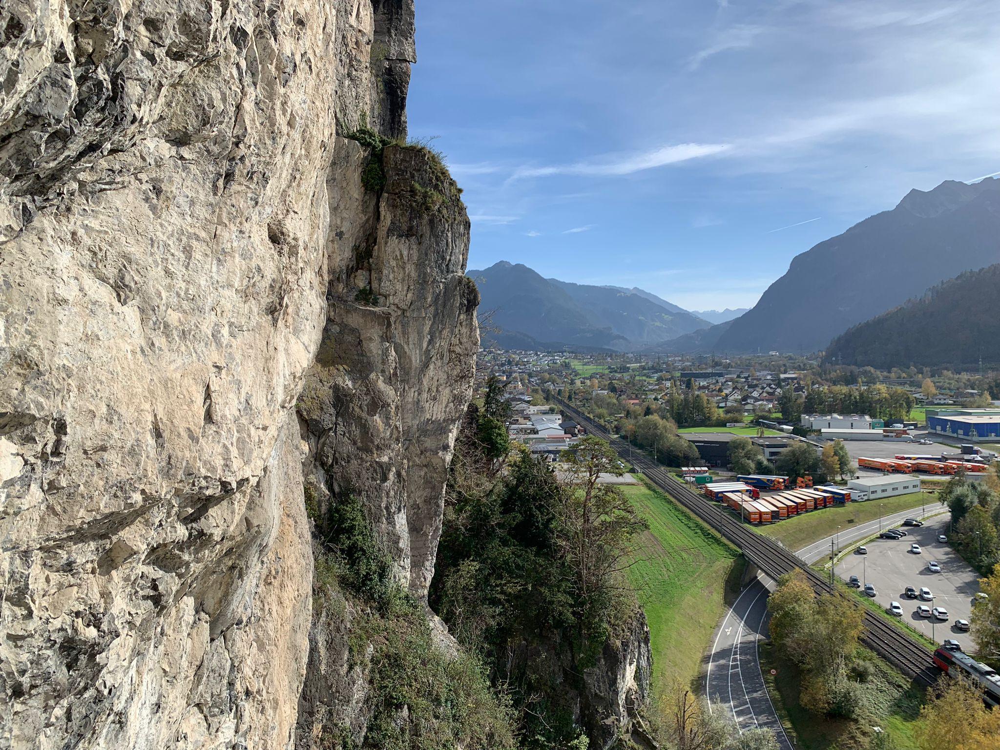
Klettergarten Hängender Stein
9.2 km away, in Nüziders
One of the largest and oldest climbing gardens in Vorarlberg.
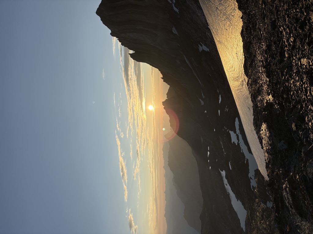
Schesaplana
10 km away, in Brand
At 2,965 m the highest mountain in the Rätikon, standing on the border with Switzerland.
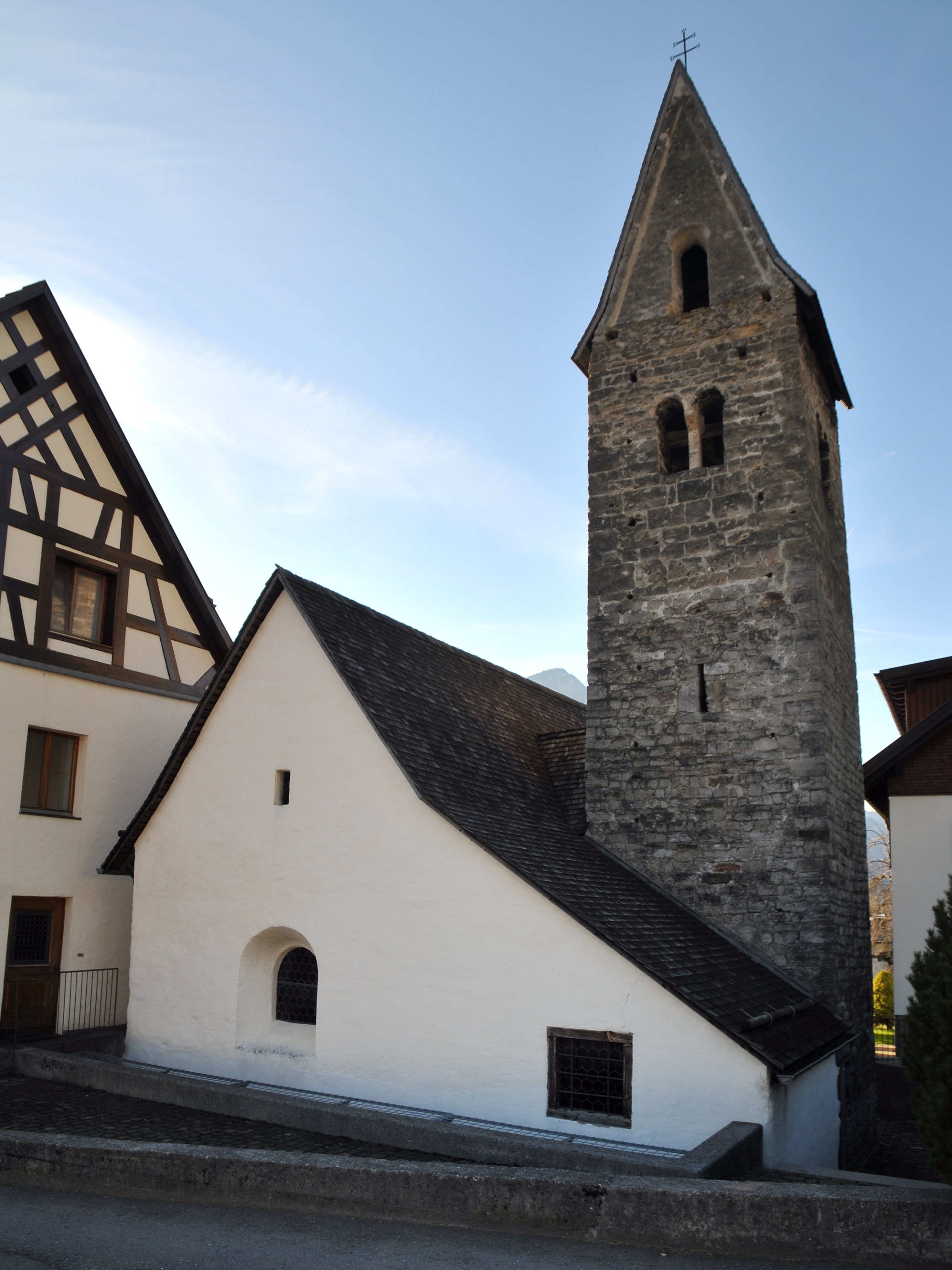
Kirche Heiliger Vinerius
10 km away, in Nüziders
A second church in Nüziders, dedicated to a saint venerated almost nowhere else.
 Cable car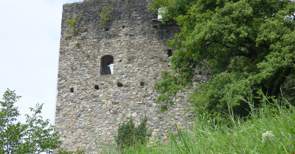
 Historic site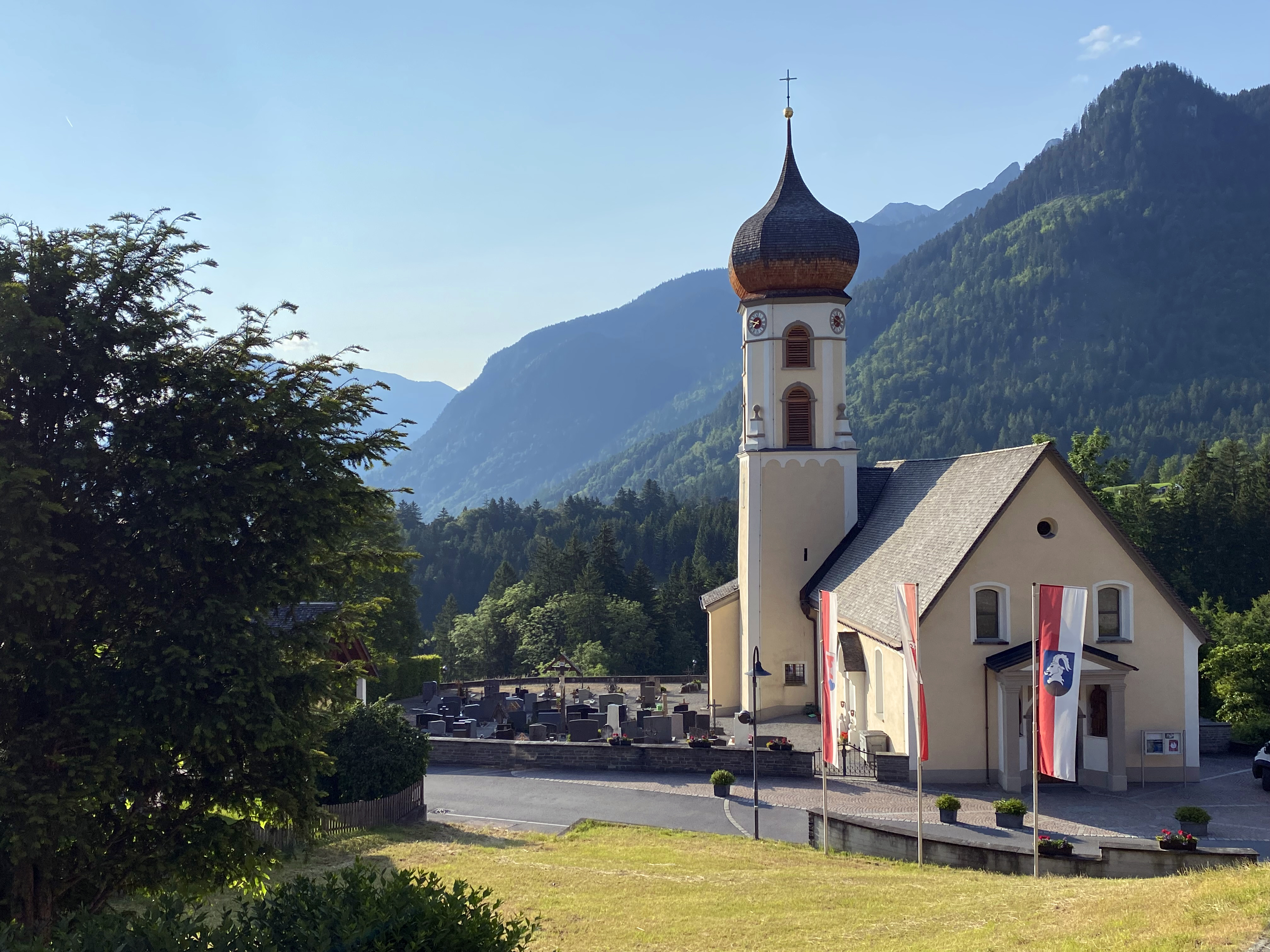
Nothing of this kind in Nenzing.
Routes
Loischkopfrundweg
An easy circuit of the 1,809 m Loischkopf, closed each year from 1 April to 15 June for capercaillie.
- 6.1 km
- Distance
- 280 m
- Ascent
- 2 h 8 min
- Duration
Open route Alpenregion VorarlbergMondspitze 1.967 m
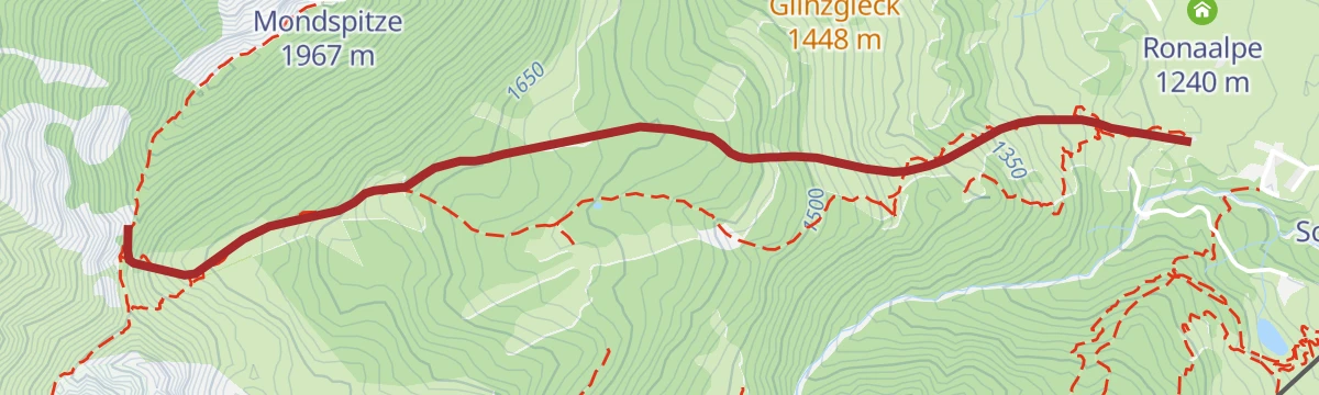
A relatively easy climb to the 1,967 m Mondspitze, which looks into five valleys at once.
- 8.4 km
- Distance
- 723 m
- Ascent
- 4 h 34 min
- Duration
Open route Alpenregion Vorarlberg4-Tages-Hüttentour im Rätikon (Etappe 4)
The closing day of the four-day Rätikon round, the long descent back to the valley floor.
- 20.6 km
- Distance
- 1 222 m
- Ascent
- 9 h 38 min
- Duration
Open route Alpenregion VorarlbergDunza - Schillersattel
594 m on skis from Dunza to Schillersattel, 3.5 km with its high point at 1,846 m.
- 2.8 km
- Distance
- 0 m
- Ascent
- 0 m
- Descent
- 40 min
- Duration
Open route PeakVisor tTRL (OpenStreetMap piste_type=skitour)5-Täler Mountainbike-Stern-Tour (Etappe 1)
The first day of the five-valley mountain-bike round ridden as a star from a base in Bludenz.
- 30.7 km
- Distance
- 1 259 m
- Ascent
- 3 h 55 min
- Duration
Open route Alpenregion VorarlbergSchillerkopf 2.006 m
A varied climb over meadow, wood and rock to the 2,006 m Schillerkopf.
- 8.5 km
- Distance
- 788 m
- Ascent
- 4 h 54 min
- Duration
Open route Alpenregion Vorarlberg5-Tages-Hüttentour im Rätikon (Etappe 1)
The opening day of the five-day Rätikon round, from the valley floor to the first hut of the traverse.
- 12.3 km
- Distance
- 1 076 m
- Ascent
- 6 h 6 min
- Duration
Open route Alpenregion Vorarlberg5-Täler Mountainbike-Tour (Etappe 1)
The first stage of the five-valley tour, linking the valleys around Bludenz in four days.
- 23.9 km
- Distance
- 1 279 m
- Ascent
- 3 h 7 min
- Duration
Open route Alpenregion Vorarlberg5-Tages-Hüttentour im Rätikon (Etappe 2)
The second day of the five-day Rätikon hut round, a short stage that climbs over 1,300 m to its hut.
- 6.2 km
- Distance
- 1 402 m
- Ascent
- 5 h 15 min
- Duration
Open route Alpenregion VorarlbergBrandnertal-Rundtour
A mountain-bike round of the Brandnertal, climbing off the valley floor and back.
- 31.4 km
- Distance
- 1 357 m
- Ascent
- 4 h 4 min
- Duration
Open route Alpenregion VorarlbergNenzinger Himmel über Amatschonjoch
A long round over the Amatschonjoch into the Nenzinger Himmel, a village inhabited only in summer.
- 22.3 km
- Distance
- 1 348 m
- Ascent
- 9 h 20 min
- Duration
Open route Alpenregion VorarlbergGraveltour Brandnertal
A gravel round from Bludenz to Brand and back by the Parpfienzalpe, Nenzing and Schnifis.
- 57.3 km
- Distance
- 1 873 m
- Ascent
- 6 h 51 min
- Duration
Open route Vorarlberg TourismusPanoramawanderung Mondspitze und Schillerkopf
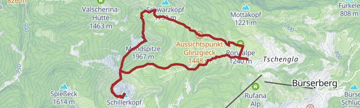
Both summits above Bludenz in one round from Bürserberg — the Mondspitze and the smaller Schillerkopf.
- 10.4 km
- Distance
- 963 m
- Ascent
- 6 h
- Duration
Open route Vorarlberg TourismusGraveltour Brandnertal – Walgau
A long gravel round from Bludenz up the Brandnertal and back across the Walgau, steep in places.
- 57.4 km
- Distance
- 1 528 m
- Ascent
- 6 h 32 min
- Duration
Open route Vorarlberg TourismusMontafon - Walgau Runde
A flat round out of the Montafon and down the Walgau as far as Nenzing, returning along the Ill.
- 49.9 km
- Distance
- 213 m
- Ascent
- 4 h 38 min
- Duration
Open route Montafon TourismusMountainbike Tour Nenzinger Berg
A mountain-bike round from the Walgau on forest tracks, looking across at the Brandnertal the whole way.
- 39.2 km
- Distance
- 1 377 m
- Ascent
- 4 h 46 min
- Duration
Open route Vorarlberg TourismusNenzingerberg-Tour
A demanding mountain-bike round on the Nenzinger Berg, open to the Rheintal for much of its length.
- 36.2 km
- Distance
- 1 565 m
- Ascent
- 4 h 42 min
- Duration
Open route Alpenregion Vorarlberg






No routes of this kind in Nenzing yet.
Planning a trip to Nenzing?
Everything else Vorarlberg has, in one place


Take Nenzing with you into the mountains
Every route on this page with 3D terrain, GPX navigation and offline maps — including the valleys with no signal.
Data sources
- Official website: vorarlberg-alpenregion.at ↗
- Routes and highlights: Alpenregion Vorarlberg, PeakVisor / OpenStreetMap, Vorarlberg Tourismus, Bodensee-Vorarlberg Tourismus, PeakVisor tTRL (OpenStreetMap piste_type=skitour), Montafon Tourismus
- Published as open data by the tourist boards named above.
- Region summary generated from the board's own material.
