


 Historic site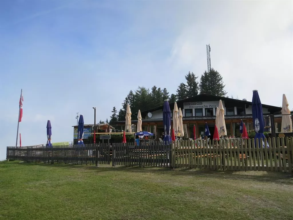
 Cable car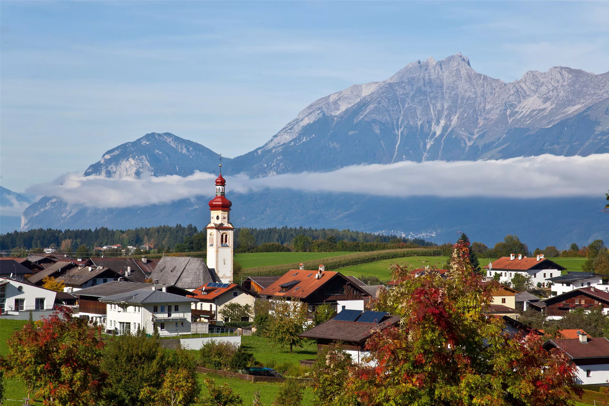












Curated by Wipptal Tourismus
Navis
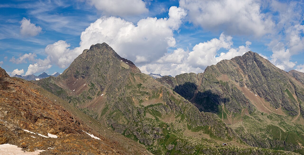
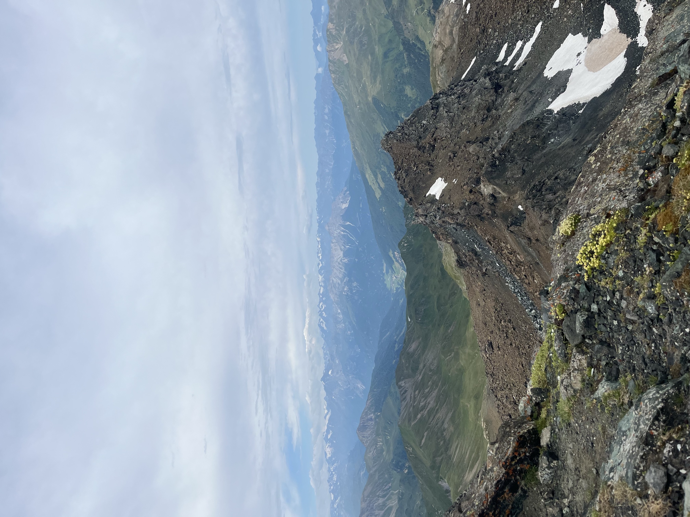
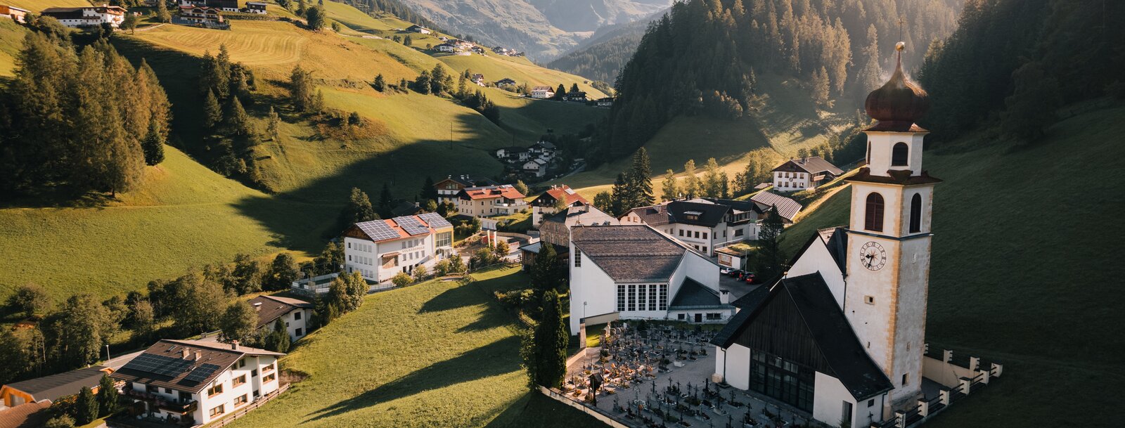
A scattered settlement filling the remote Navistal, which climbs east from the Wipptal to high pastures like the Klammalm under the Tuxer ridge.
- 1Highlights
- 26Routes
- Featured summit · Lizumer Reckner
Highlights
14 from neighbouring places
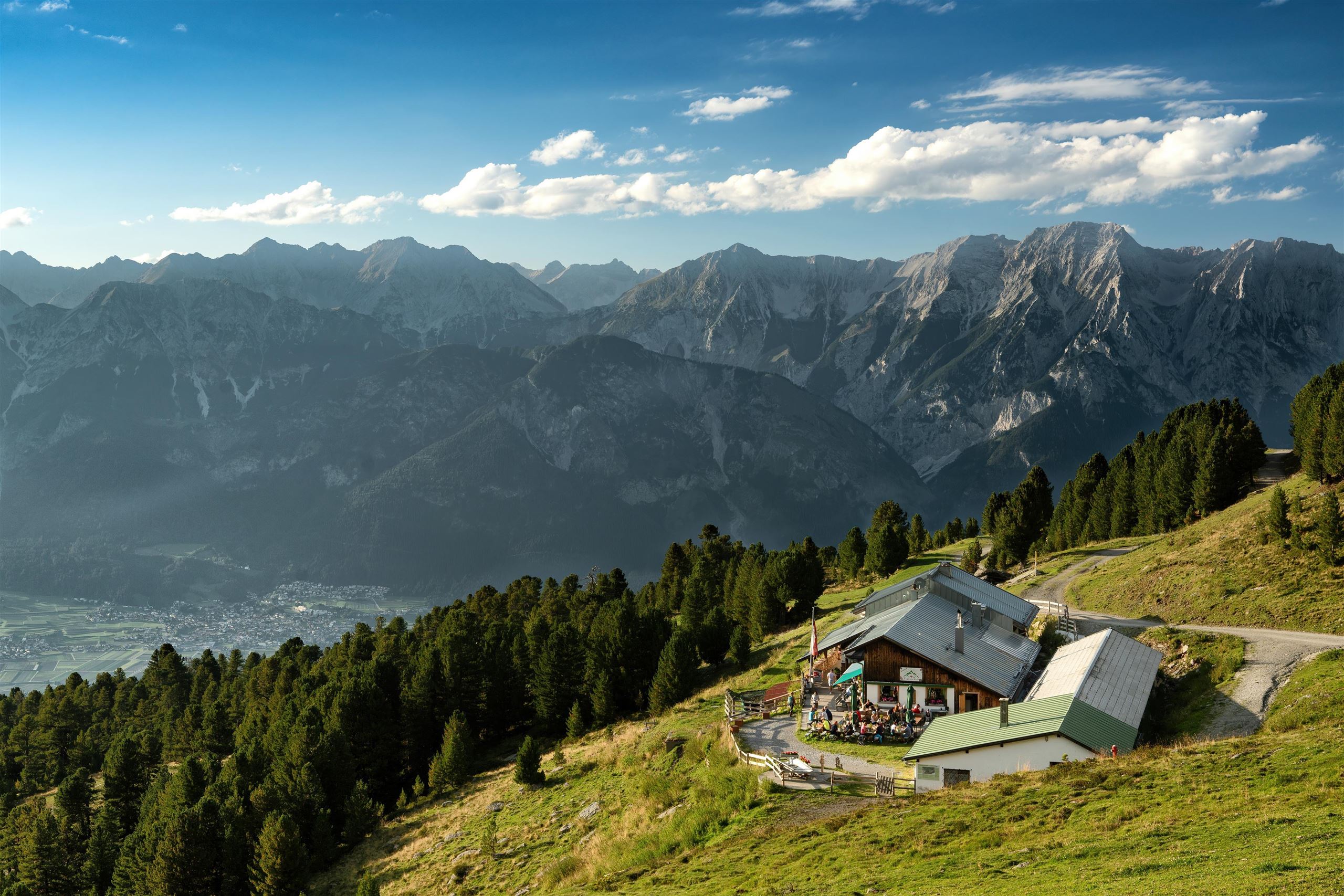
Naviser Hütte
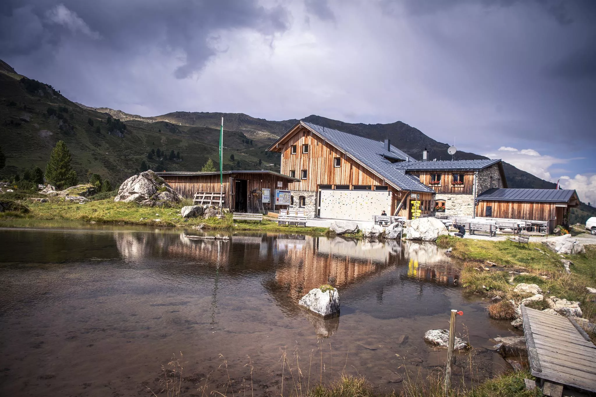
A mountain hut in the Navis valley above the village of Navis, a destination for walkers in summer and tobogganers and ski tourers in winter.
Bremer Hütte
7.3 km away, in Steinach am Brenner
An Alpine Club hut at 2,413 m at the head of the Gschnitztal, crossed by the Stubai High Trail on its stage to the Nürnberger Hütte.
Lizumer Hütte
7.8 km away, in Wattenberg
An alpine club hut at the head of the Wattental in the Tux Alps, a base for ski tours and summer walks around the Lizum basin south of Wattens.
Glungezer-Hütte 2610
8.1 km away, in Tulfes
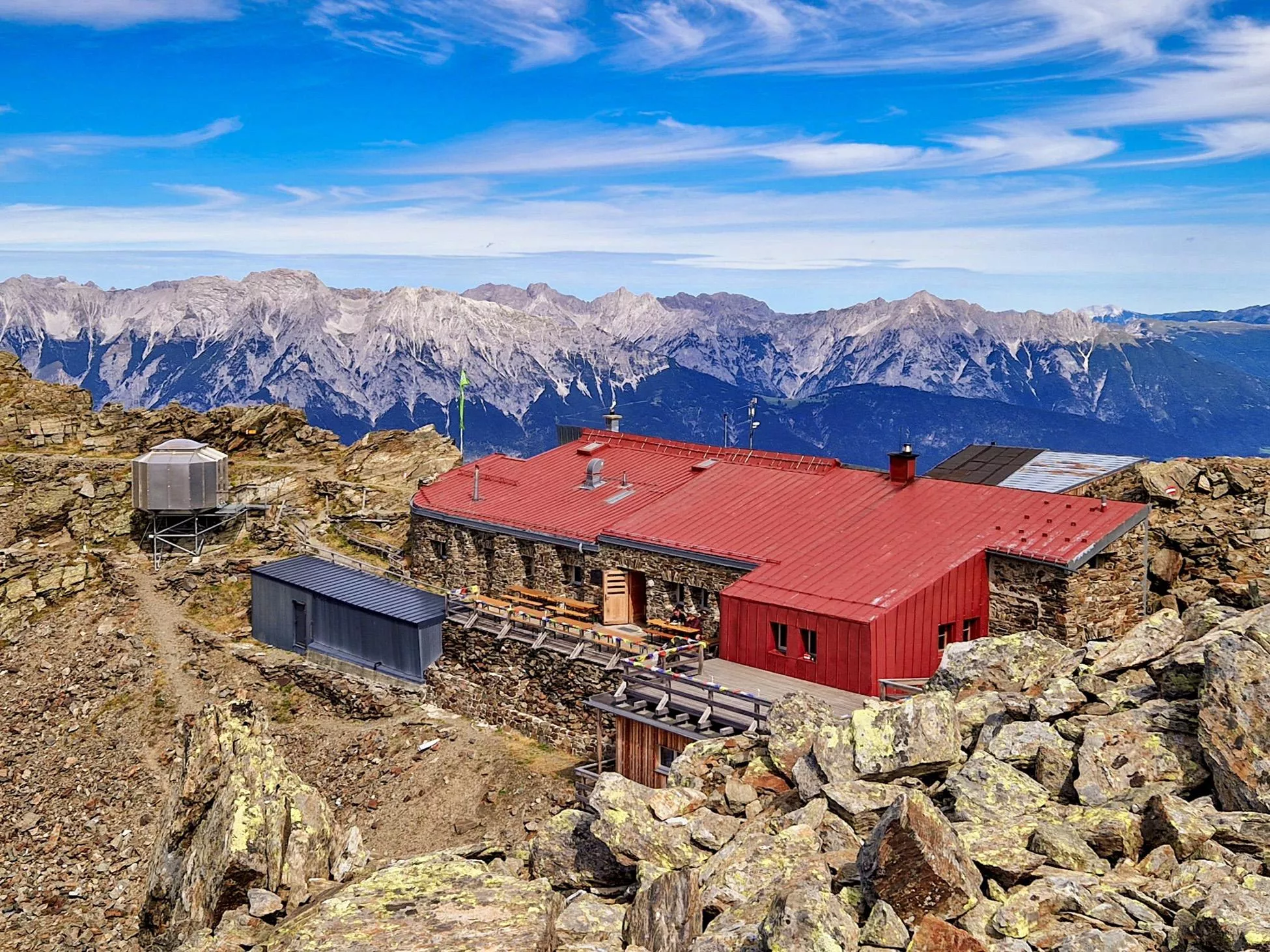
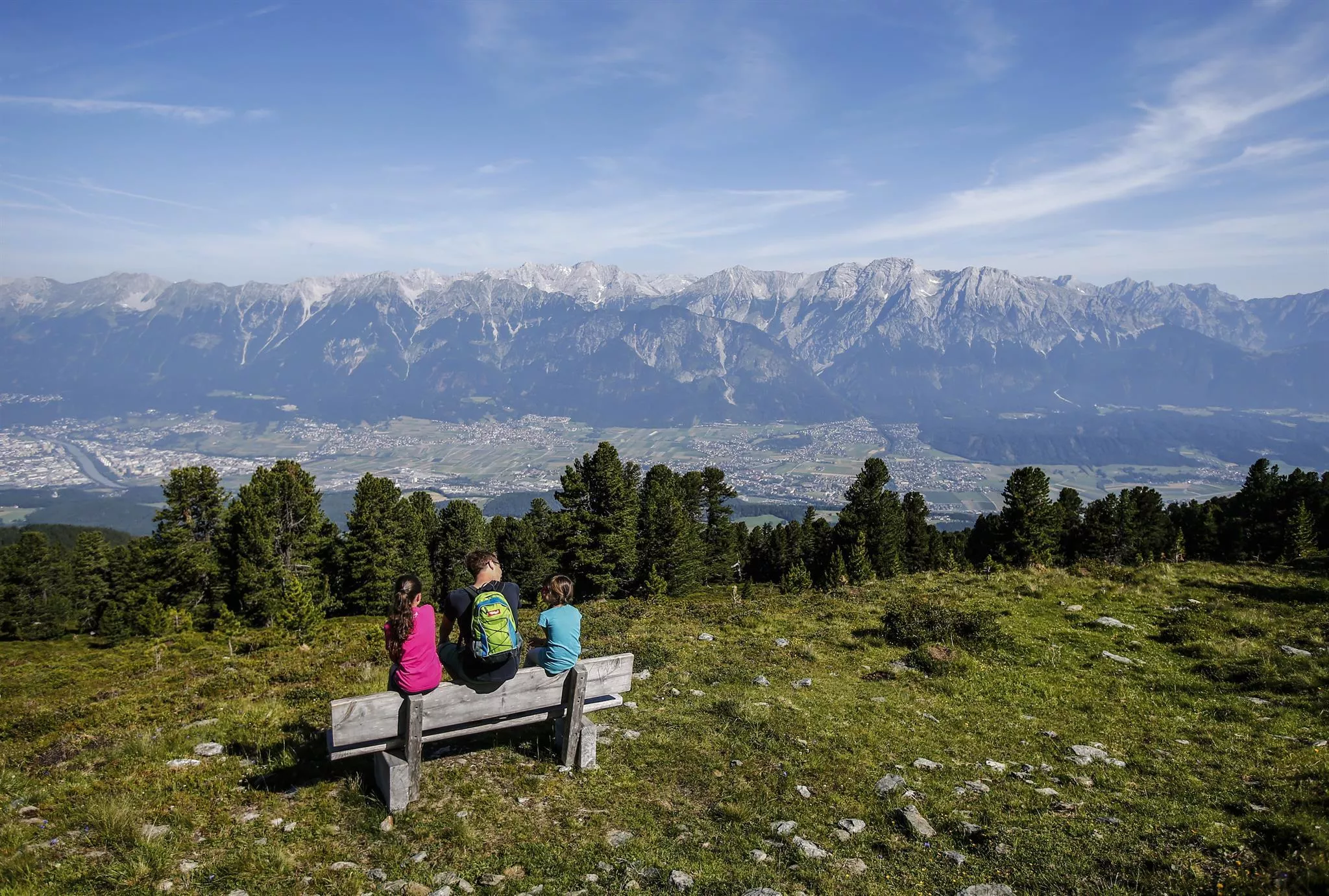
A hut just below the Glungezer summit at 2,610 m above Tulfes, known for home cooking and as a stage on the long Zirbenweg ridge path.
Tuxerjochhaus 2.313 m
8.8 km away, in Tux
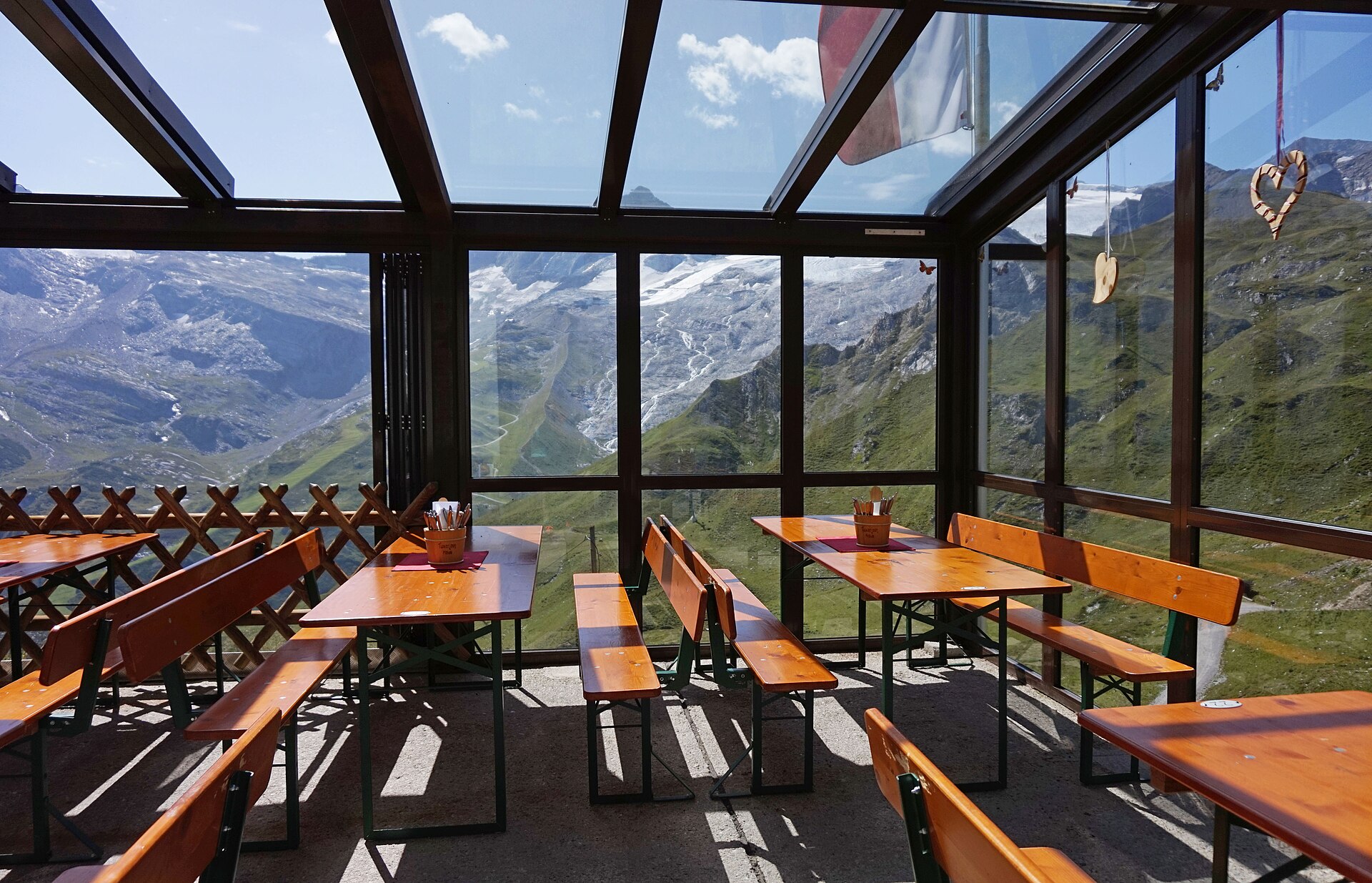
A mountain refuge at 2,313 m by the Tuxer Joch, the crossing between the Schmirn valley and Hintertux, serving hikers and ski tourers.
Tulfeinalm
9.6 km away, in Tulfes
An alm near the top station of the Glungezer lifts above Tulfes, serving Austrian dishes to walkers on the Zirbenweg and to winter skiers.
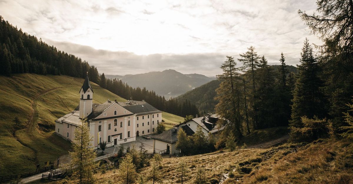
Maria Waldrast 1.640m
10.8 km away, in Mühlbachl
A Servite monastery and pilgrimage church at about 1,640 m below the Serles, with an inn and a spring long credited with healing powers.
Natur Resort Waldrast
10.8 km away, in Mühlbachl
A mountain inn beside the Maria Waldrast monastery below the Serles, reachable on foot or by toll road from Mühlbachl.
Altstadt Hall in Tirol
11.2 km away, in Volders
The medieval old town of Hall in Tirol, a dense web of lanes, squares and Gothic and baroque buildings that grew wealthy on salt mining and coin minting.
Alpengasthof Halsmarter
11.5 km away, in Tulfes
An alpine inn at Halsmarter, the middle station of the Glungezer lifts above Tulfes, serving walkers and skiers on the way up the mountain.
Glungezerbahn
13.2 km away, in Tulfes
A lift system rising from Tulfes at 923 m towards the Glungezer, carrying walkers to the Zirbenweg stone-pine trail in summer and serving a small ski area in winter.
Pfarrkirche Tulfes
13.3 km away, in Tulfes
The parish church of Tulfes at 923 m on the sunny plateau above the Inn valley, the centre of the village below the Glungezer.
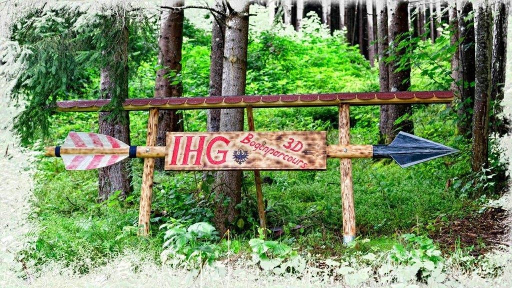
Bogenschießparcours Tulfes
14 km away, in Tulfes
A 3D archery course laid out in the woods near Tulfes, with targets along a walking circuit for beginners and practised archers alike.
Alpenvereinshütte Meissner Haus
9 km away, in Ellbögen
An Alpine Club hut in the Viggartal above Ellbögen, south of Innsbruck, offering meals and beds to walkers below the Glungezer ridge.
 Climbing site https://wellcomeimages.org/indexplus/obf_images/59/75/e90ba921bf07b05b12371a892bad.jpg Gallery: https://wellcomeimages.org/indexplus/image/L0040558.html · CC BY 4.0
Sunblocker
10.6 km away, in Vals
An ice climbing line in the shaded Valser valley of the Wipptal, usually in condition through the cold midwinter weeks.
Nothing of this kind in Navis.
Routes
Wanderung zur Peeralm
Short, easy walk from the Grün car park in the Navistal to the Peeralm, a family-scale outing of under 200 m height gain to a small grazing alm.
- 1.5 km
- Distance
- 171 m
- Ascent
- 1 h 1 min
- Duration
Naviser Almenrunde
Alm-to-alm circuit above Navis linking the Klammalm, Stöcklalm, Naviser Hütte and Poltnalm — 14 rolling kilometres through the grazing country of the Tuxer Alps.
- 14.2 km
- Distance
- 670 m
- Ascent
- 5 h
- Duration
- 4
- Check-ins
Glungezer & Geier Höhenweg
Ridge traverse of 15.6 km between the Glungezerhütte and the Lizumer Hütte, crossing seven tops between 2,600 and 2,700 m, among them the Grünbergspitze and Kreuzspitze.
- 15.6 km
- Distance
- 707 m
- Ascent
- 6 h 27 min
- Duration
- 100
- Check-ins
Grünbergspitze (2.790m)
Committing ski tour from the Navistal past the Grünbergalm to the Grünbergspitze at 2,790 m, about 1,250 m of ascent into open Tuxer terrain.
- 6.5 km
- Distance
- 1 248 m
- Ascent
- 1 248 m
- Descent
- 4 h 3 min
- Duration
- 4
- Check-ins
520 Mountainbike Naviser Almenrunde
A forest-road round of the Navistal pastures, calling at the Naviser Hütte, the Klammalm and the Poltnalm before dropping past the Tischleralm.
- 15.7 km
- Distance
- 790 m
- Ascent
- 2 h 11 min
- Duration
- 4
- Check-ins
Naviser Almenrunde 2.0
A reworked hut circuit in the Navistal, taking the Zehenteralm and Peeralm on the way up to the Seapnalm and Obere Vögeleralm.
- 18.0 km
- Distance
- 946 m
- Ascent
- 2 h 35 min
- Duration
- 2
- Check-ins
 Seapnalm 2 092 m
- Obere Vögeleralm 2 177 m
 Fischteich 2 104 m
- Zehenteralm 1 820 m
- Peeralm 1 663 m
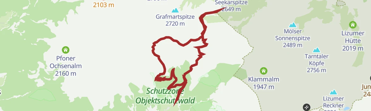
Seapnalm - Grafmart - Naviser Sonnenspitze
A hard gravel tour through the Naviser pastures to the Naviser Jöchl at nearly 2,500 m, topping out on the Sonnenspitze above it.
- 17.4 km
- Distance
- 1 267 m
- Ascent
- 3 h 10 min
- Duration
- 9
- Check-ins
Zur Vögeleralm (2.178 m)
Climb from the Grün car park in the Navistal past the Seapnalm to the Obere Vögeleralm at 2,178 m, a steady ascent of around 660 m to high pastures.
- 4.0 km
- Distance
- 664 m
- Ascent
- 3 h 47 min
- Duration
- 2
- Check-ins
- Seapnalm 2 092 m
- Obere Vögeleralm 2 177 m
- Fischteich 2 104 m
München - Venedig: Von der Glungezer-Hütte zur Lizumer Hütte
Ridge stage of 15.8 km from the Glungezerhütte over the Kreuzspitze, Grünbergspitze and Grafmartspitze to the Naviser Jöchl and on to the Lizumer Hütte, with one exposed section.
- 15.8 km
- Distance
- 998 m
- Ascent
- 7 h 55 min
- Duration
- 98
- Check-ins
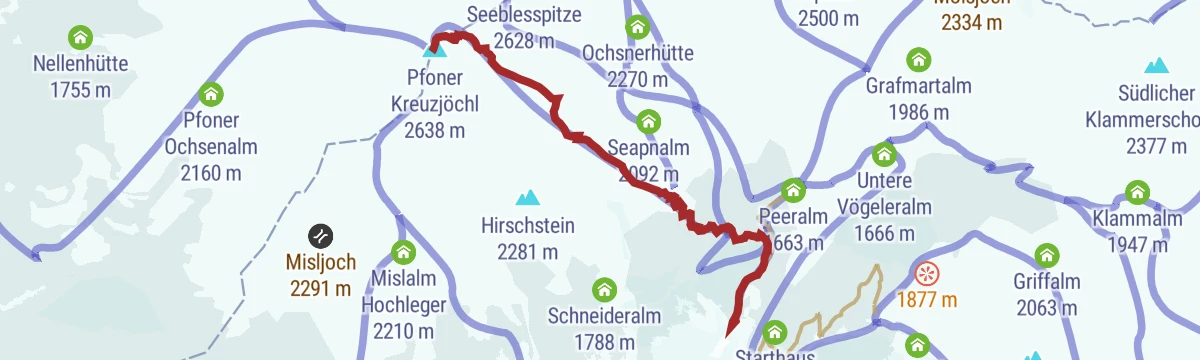
Pfoner Kreuzjöchl (2.640 m)
Demanding ski tour from the Grün car park in the Navistal to the Pfoner Kreuzjöchl at 2,640 m — about 1,100 m of ascent through open Tuxer touring terrain.
- 5.1 km
- Distance
- 1 103 m
- Ascent
- 1 103 m
- Descent
- 3 h 30 min
- Duration
- 3
- Check-ins
5028 Mountainbikeweg Zehenter Alm/Grafmartalm
A short, steep link in the Navistal, climbing from the Zehenteralm to the Grafmartalm high above the valley at over 2,100 m.
- 3.0 km
- Distance
- 496 m
- Ascent
- 1 h 4 min
- Duration
- 2
- Check-ins
532 Mountainbike Mislalm
A long forest-road climb from Matrei am Brenner in the Wipptal, gaining over 1,200 m past the Panoramahütte to the Mislalm.
- 14.4 km
- Distance
- 1 221 m
- Ascent
- 2 h 57 min
- Duration
- 1
- Check-ins
Rundweg St. Michael - Matrei - St. Kathrein
Loop around Matrei am Brenner connecting St. Michael and St. Kathrein, a half-day round with moderate climbing on the slopes above the Wipptal.
- 8.2 km
- Distance
- 317 m
- Ascent
- 2 h 42 min
- Duration
- 1
- Check-ins
Rundtour Klammalm-Schober-Naviser Sonnenspitze-Grafmartalm
Long ridge loop from the Grün car park over the Klammerschober and the Sonnenspitze, passing the Klammsee and Klammalm before descending via the Grafmartalm.
- 17.0 km
- Distance
- 1 244 m
- Ascent
- 8 h 12 min
- Duration
- 15
- Check-ins
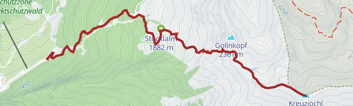
Naviser Kreuzjöchl (2.536 m)
Classic Tuxer ski tour from the Navistal past the Stöcklalm and Naviser Hütte to the Kreuzjöchl, 1,100 m up with a broad, moderate summit slope.
- 4.6 km
- Distance
- 1 136 m
- Ascent
- 1 136 m
- Descent
- 3 h 32 min
- Duration
522 Naviser Sunnseitn Trail
A high singletrack on the sunny side of the Navistal, threading between the Fritzenalm, Mislalm and Seapnalm at around 2,000 m.
- 9.7 km
- Distance
- 472 m
- Ascent
- 1 h 19 min
- Duration
- 2
- Check-ins
Senselerweg: Zehenter Alm über Naviser Kreuzjoch bis Toldern
Stage of the Senselerweg, 14.7 km from the Zehenteralm over the Naviser Kreuzjoch to Toldern, passing the Naviser Hütte with 882 m of climb.
- 14.7 km
- Distance
- 1 132 m
- Ascent
- 7 h 51 min
- Duration
Senselerweg: Von der Voldertalhütte über das Naviser Jöchl zur Zehenter Alm
Senselerweg stage of 11.7 km crossing from the Voldertal over the Naviser Jöchl into the Navistal, with 1,104 m of climb and the Zehenteralm at the end.
- 11.7 km
- Distance
- 1 255 m
- Ascent
- 6 h 40 min
- Duration
- 10
- Check-ins
Naviser Sonnenspitze (2.620 m)
Ski tour from the Grün car park in the Navistal past the Zehenteralm and the Peeralm slopes up to the Sonnenspitze — around 1,060 m of ascent on sunny open flanks.
- 4.9 km
- Distance
- 1 061 m
- Ascent
- 1 061 m
- Descent
- 3 h 22 min
- Duration
533 Mountainbike Seapnalm
A climb on gravel service roads to the Seapnalm, continuing to the Obere Vögeleralm and the small Fischteich just below it.
- 9.1 km
- Distance
- 836 m
- Ascent
- 1 h 59 min
- Duration
- 2
- Check-ins
- Seapnalm 2 092 m
- Obere Vögeleralm 2 177 m
- Fischteich 2 104 m
Rundtour Schafseitenspitze
Big loop from the church in Navis over the Schafseitenspitze forepeak and the Sunntiger, linking the Vöstenalm, Urbesalm and both Stippleralm levels — 1,350 m of climbing.
- 13.3 km
- Distance
- 1 355 m
- Ascent
- 8 h 18 min
- Duration
- 7
- Check-ins
534 Mountainbike Naviser Bachweg
A valley track up the Navistal from Matrei am Brenner, following the stream as far as the Grünberglift at the head of the side valley.
- 10.6 km
- Distance
- 499 m
- Ascent
- 1 h 25 min
- Duration
- 2
- Check-ins
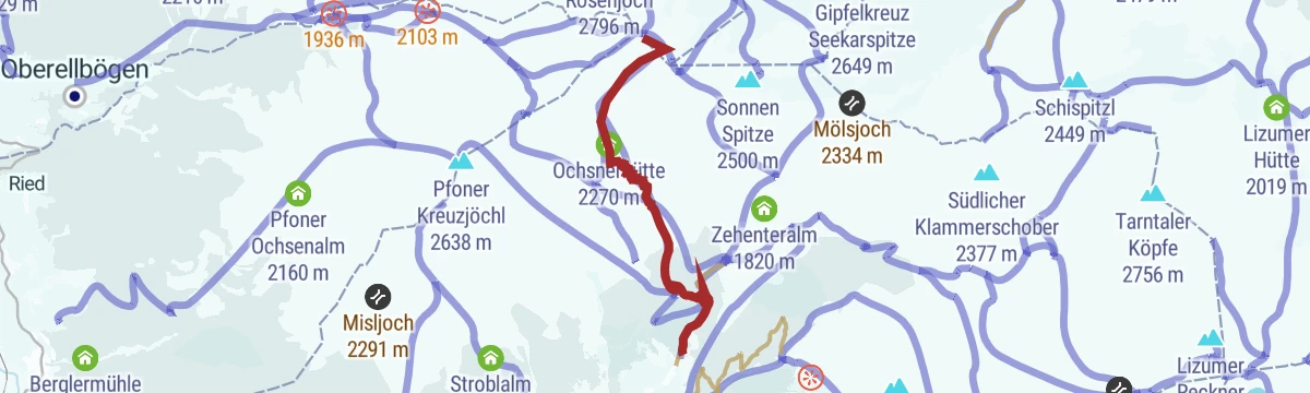
Navis - Naviser Kreuzjöchl - Lizumer Reckner
Marathon ridge day from Navis over the Kreuzjöchl to the Lizumer Reckner, highest of the Tuxer Alps, passing the Naviser Hütte, the Griffjoch and the small Staffelsee.
- 23.5 km
- Distance
- 1 553 m
- Ascent
- 10 h 29 min
- Duration
- 6
- Check-ins
Pfoner Kreuzjöchl - Mislkopf
Big Wipptal ridge day from Pfons past the Berglermühle and the Untersee onto the Pfoner Kreuzjöchl and along to the Mislkopf, with around 1,700 m of climbing.
- 22.4 km
- Distance
- 1 744 m
- Ascent
- 11 h 19 min
- Duration
- 4
- Check-ins
Mislkopf (2.623 m)
Long approach from the Kerschbaumsiedlung in Navis over the Mislalm and Panoramahütte to the Mislkopf, a 2,623 m Tuxer summit with a gentle final ridge.
- 7.6 km
- Distance
- 1 167 m
- Ascent
- 6 h 42 min
- Duration
Naviser Kreuzjöchl (2.536)
Steep hike from the Schranzberg car park past the Stöcklalm and Naviser Hütte to the Kreuzjöchl, over 1,100 m up for a full Tuxer panorama.
- 5.4 km
- Distance
- 1 127 m
- Ascent
- 6 h 15 min
- Duration
No routes of this kind in Navis yet.
The region's own picks

Featured route
Wanderung zur Peeralm
Short, easy walk from the Grün car park in the Navistal to the Peeralm, a family-scale outing of under 200 m height gain to a small grazing alm.
Planning a trip to Navis?
Everything else Tyrol has, in one place


Take Navis with you into the mountains
Every route on this page with 3D terrain, GPX navigation and offline maps — including the valleys with no signal.
Data sources
- Official website: wipptal.at ↗
- Routes and highlights: Wipptal Tourismus, Region Hall-Wattens, Tourismusverband Stubai Tirol, Innsbruck Tourismus
- Published as open data by the tourist boards named above.
- Region summary generated from the board's own material.
