
Curated by Innsbruck Tourismus
Natters
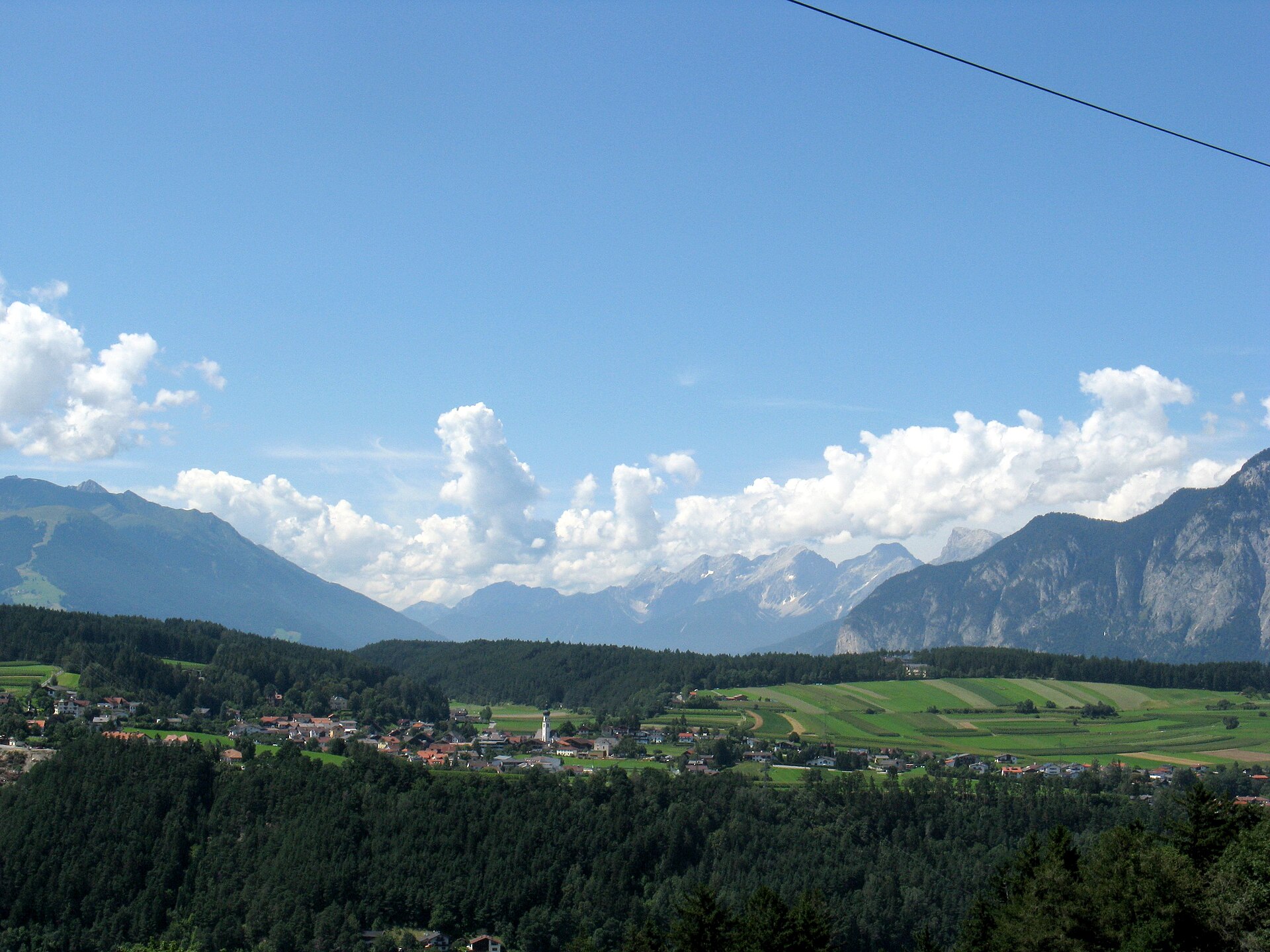
Twin village to Mutters on the terrace above the Sill gorge south of Innsbruck, at 783 m beside the warm swimming lake Natterer See.
Photo: Hafelekar · CC BY-SA 3.0 licence
- 15Highlights
- 7Routes
Highlights
All 15 from neighbouring places
Hoarachhof
3.8 km away, in Mutters
A farmhouse inn on the slopes above Mutters, serving snacks and regional dishes to walkers on the terrace south of Innsbruck.
Bergisel Schanze
4.1 km away, in Innsbruck
The ski-jumping hill above Innsbruck, rebuilt in 2002 to a Zaha Hadid design; its tower overlooks the city and the jump hosts a Four Hills Tournament event each January.
Bergisel Sprungschanze
4.1 km away, in Innsbruck
The ski-jumping hill on the Bergisel above Innsbruck, rebuilt to a Zaha Hadid design in 2002 and a fixture of the Four Hills Tournament.
Hallenbad Höttinger Au
4.2 km away, in Innsbruck
An indoor public pool in Innsbruck's Höttinger Au district, run by the city utilities for lane swimming and courses.
Basilika Wilten
4.2 km away, in Innsbruck
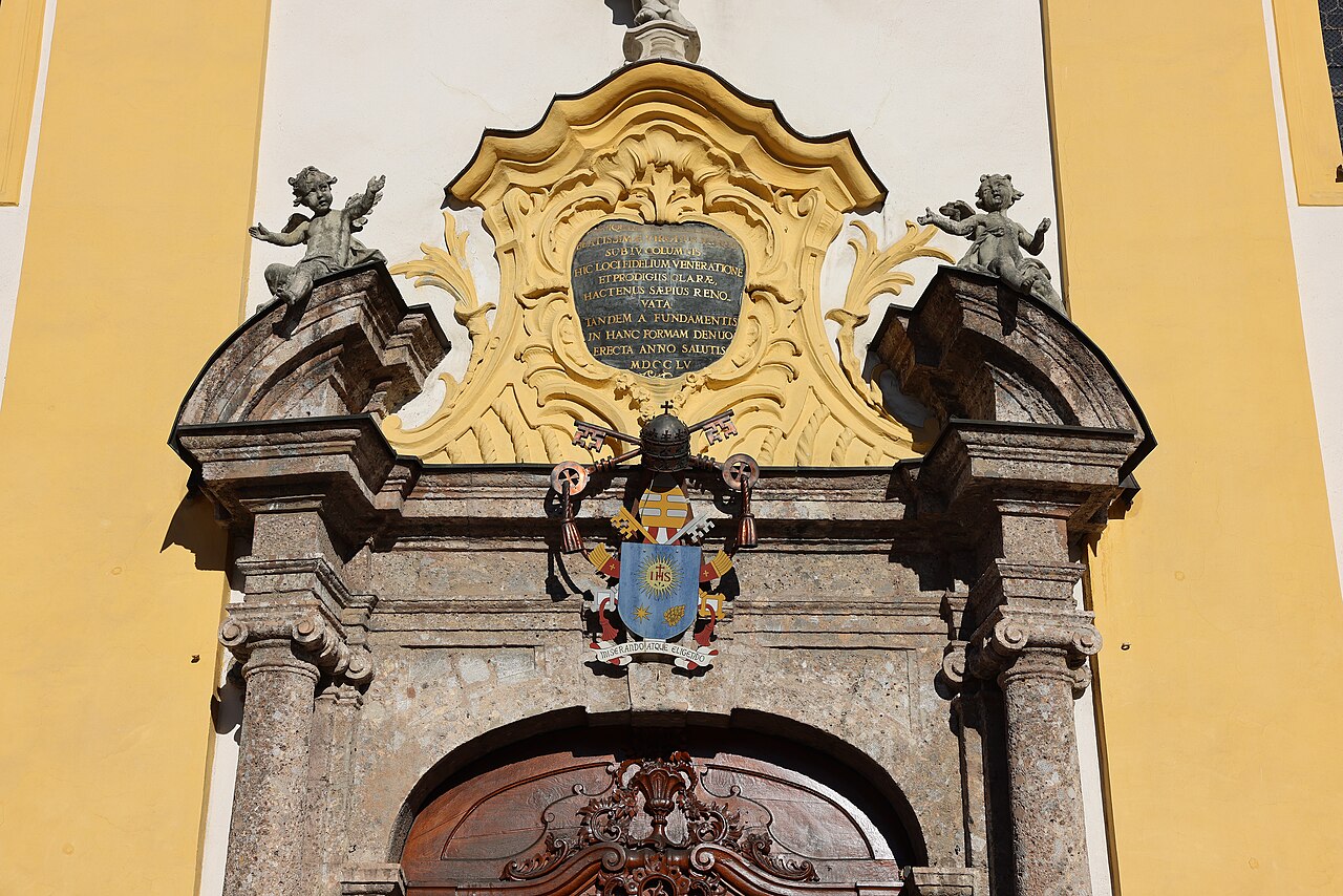
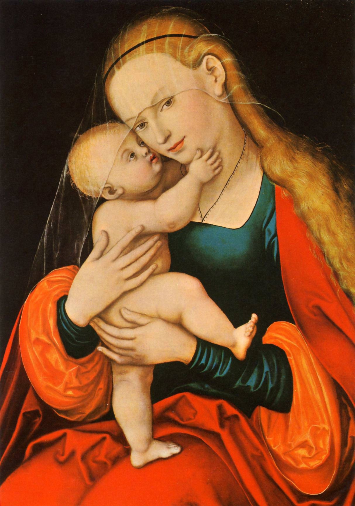
An 18th-century pilgrimage basilica in Innsbruck's Wilten district, with a rococo interior and a venerated image of the Virgin.
Das Tirol Panorama
4.2 km away, in Innsbruck
A museum at Bergisel above Innsbruck built around the giant 360-degree painting of the 1809 Tyrolean uprising led by Andreas Hofer.
Stiftskirche Stiftsmuseum Wilten
4.3 km away, in Innsbruck
The baroque church of the Premonstratensian abbey of Wilten in Innsbruck; the adjoining museum shows pieces from the abbey's collections.
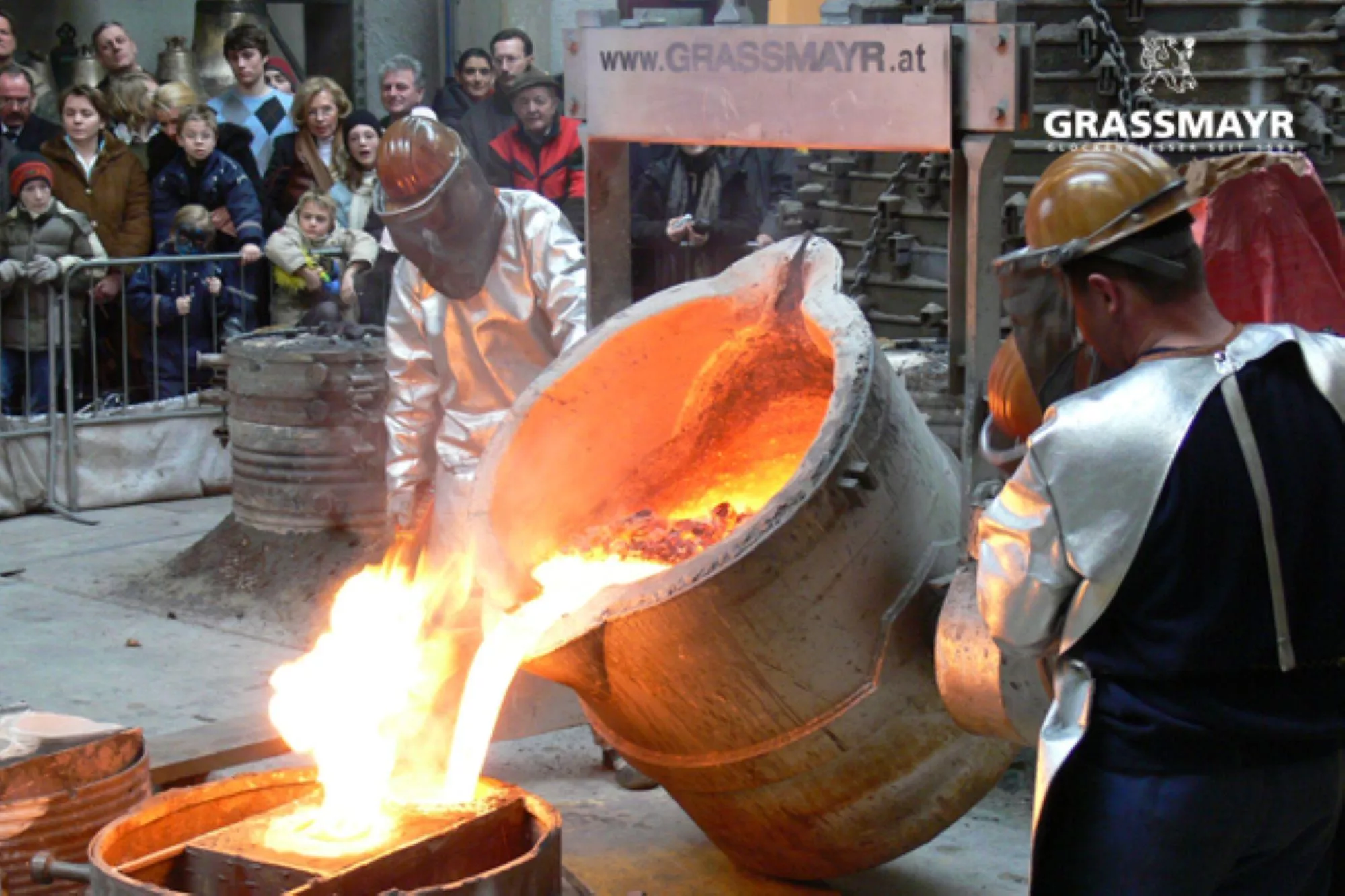
Glockengießerei Grassmayr
4.4 km away, in Innsbruck
The Grassmayr bell foundry in Innsbruck, casting church bells since 1599, with a museum on the craft and the sound of bells.
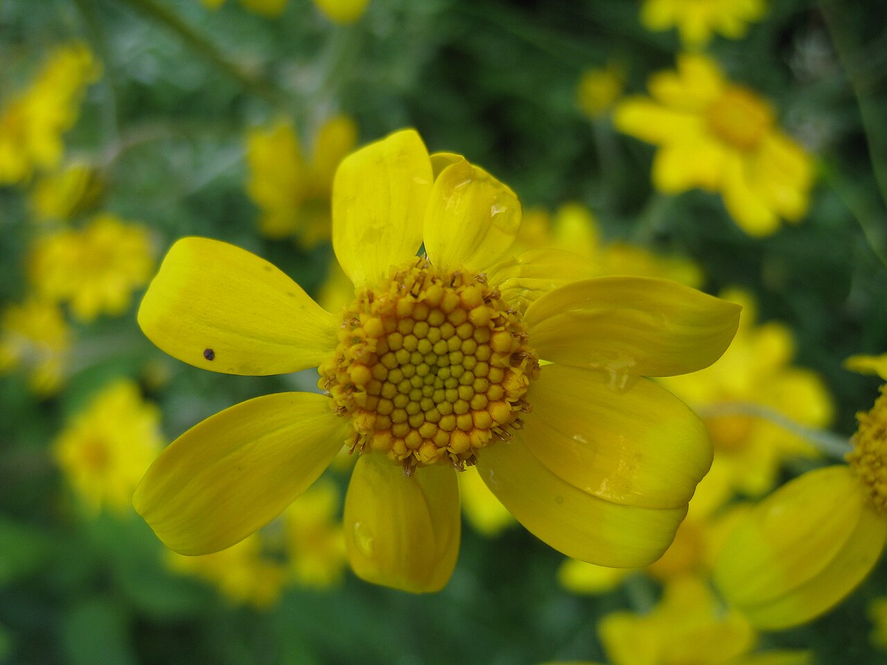
Botanischer Garten
4.5 km away, in Innsbruck
The botanic garden of the University of Innsbruck in the Hötting district, with themed plant collections and an alpine section.
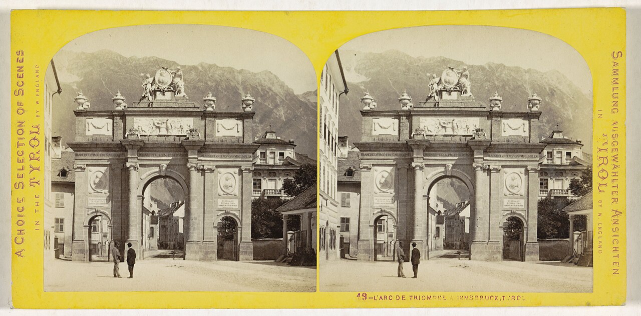
Triumphpforte
4.7 km away, in Innsbruck
A triumphal arch at the south end of central Innsbruck, erected in 1765 for the wedding of Archduke Leopold and marking both celebration and mourning.
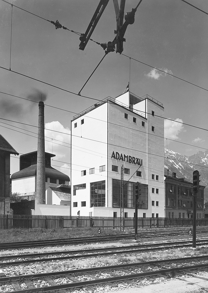
Adambräu Sudhaus
4.8 km away, in Innsbruck
The brewhouse of the former Adambräu brewery by Innsbruck's main station, a 1920s industrial building now used by the architecture centre aut.
Pfarrkirche Mariahilf
4.8 km away, in Innsbruck
A 17th-century parish church on the left bank of the Inn in Innsbruck, at the heart of the Mariahilf quarter facing the old town.
Ausstellungseröffnung Rebuild: Figures of Space: 64 Häuser im Modell
4.8 km away, in Innsbruck
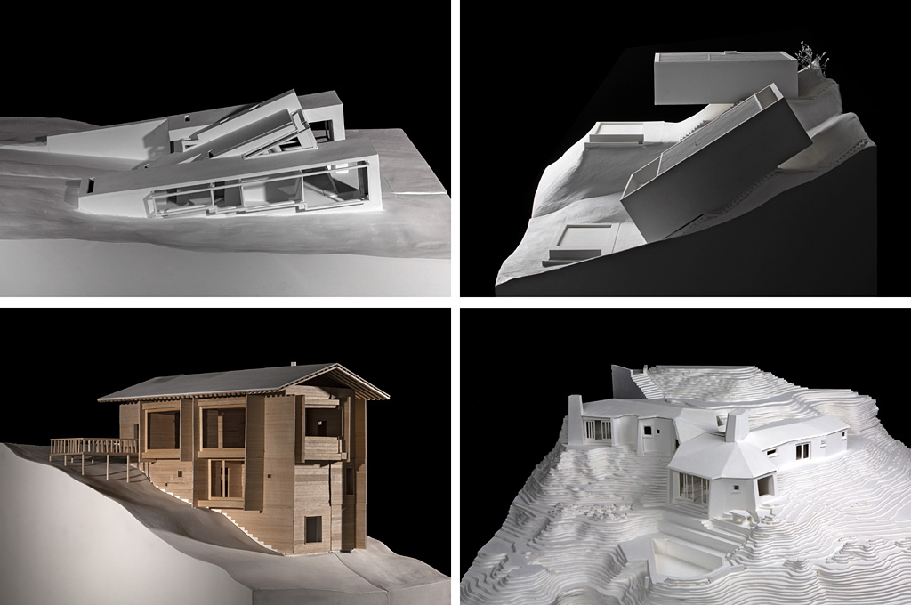
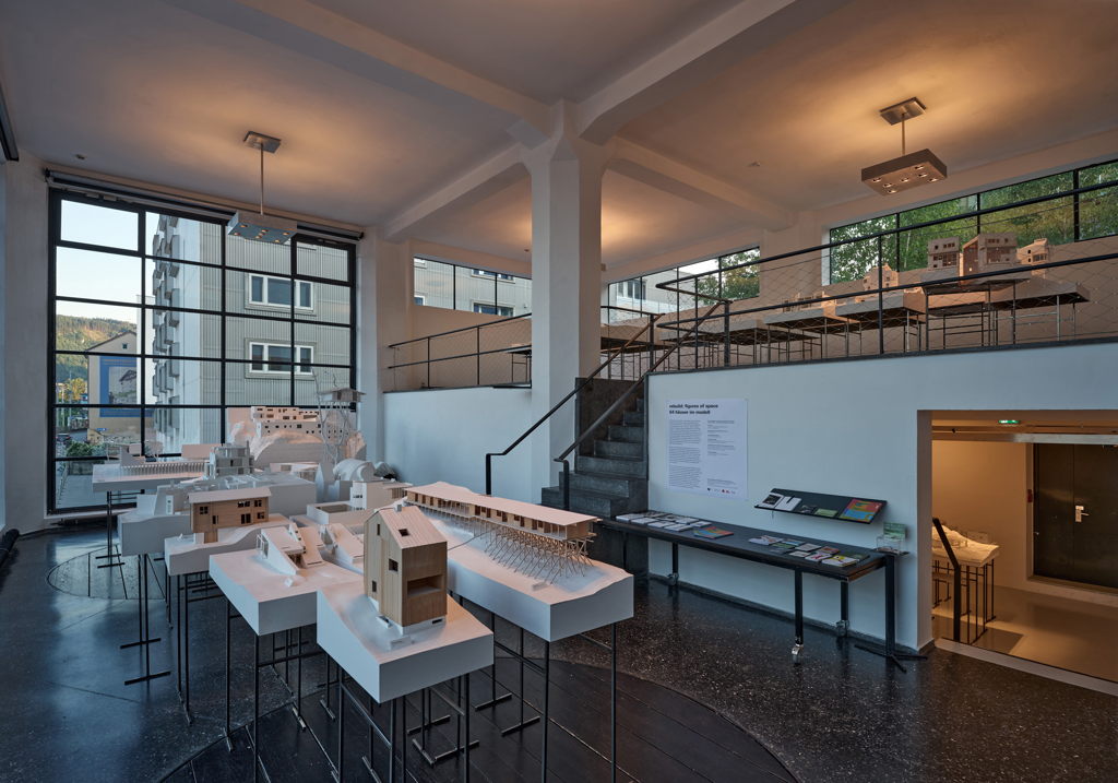
The opening event of the exhibition Rebuild: Figures of Space at the aut architecture centre in Innsbruck, presenting 64 houses in model form.
Rebuild: Figures of Space: 64 Häuser im Modell
4.8 km away, in Innsbruck
An exhibition at the aut architecture centre in Innsbruck showing 64 houses in model form under the title Rebuild: Figures of Space.
Altes Landhaus
4.8 km away, in Innsbruck
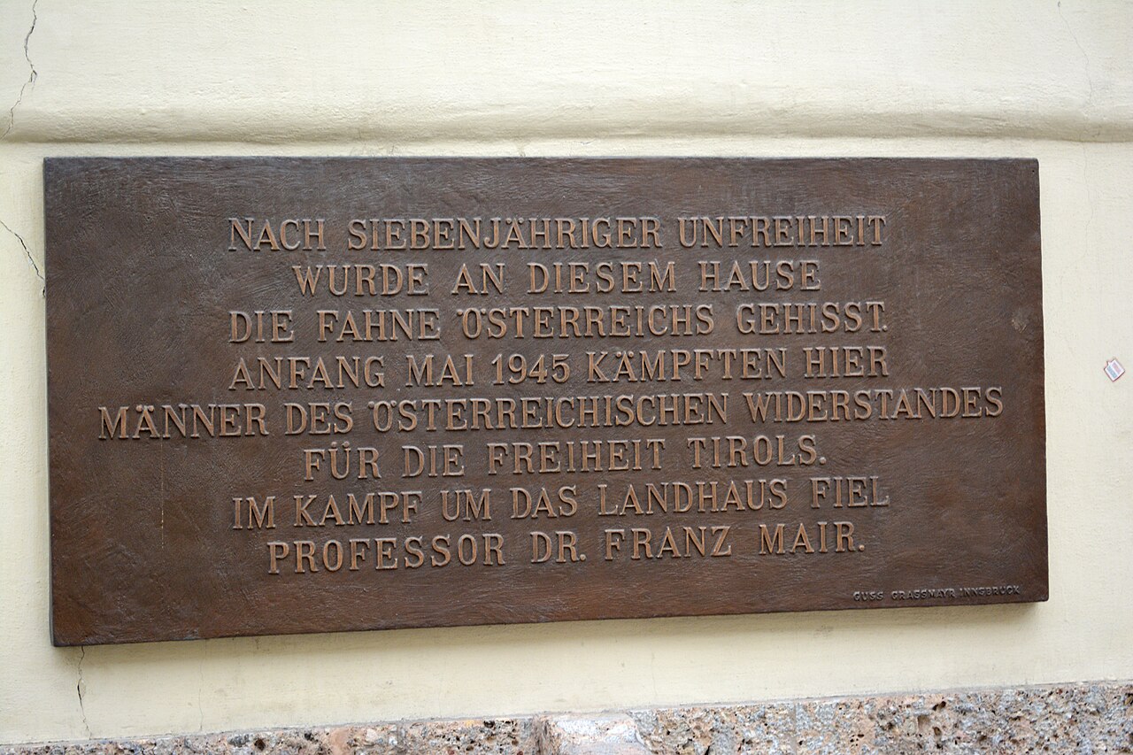
A baroque palace on Innsbruck's Maria-Theresien-Straße, built in the 1720s and still the seat of the Tyrolean provincial government.
 Mountain hut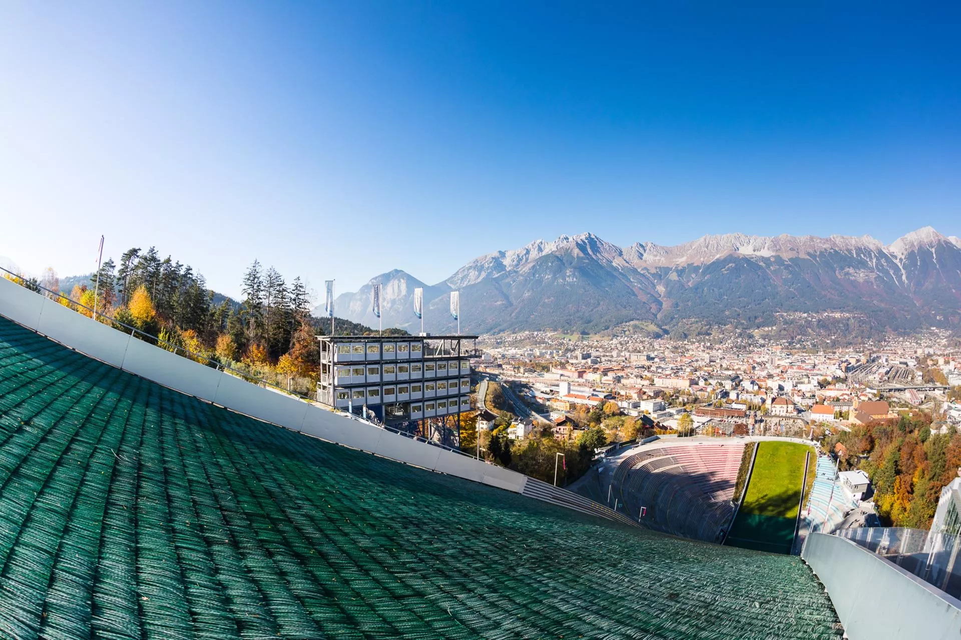
 Historic site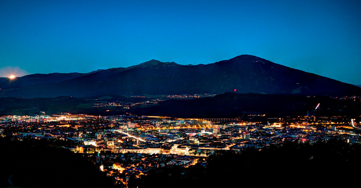
Nothing of this kind in Natters.
Routes
13 from neighbouring places
Natterer See-Götzens
Easy walk from the Natterer See across the wooded plateau to Götzens, linking the swimming lake with the village on quiet meadow paths.
- 10.8 km
- Distance
- 297 m
- Ascent
- 3 h 15 min
- Duration
- 4
- Check-ins
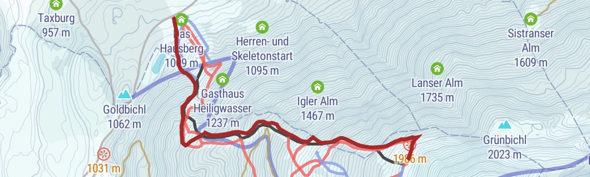
Wanderung Götzner Alm/Muttereralm/Mutters
Round from Natters over the Götzner Alm to the Mutterer Alm and back through Mutters, a moderate alm-to-alm circuit on the Saile's forested flank.
- 11.2 km
- Distance
- 760 m
- Ascent
- 5 h 6 min
- Duration
- 36
- Check-ins
Radweg Mutters-Natters-Innsbruck
A short link on the cycle path between Mutters and Natters, running past the local tourist office on the way towards Innsbruck.
- 4.6 km
- Distance
- 153 m
- Ascent
- 33 min
- Duration
- 2
- Check-ins
Radweg "Rund um Natters"
A short family loop around the village on the plateau south of Innsbruck, taking in the lake at 824 m.
- 8.7 km
- Distance
- 207 m
- Ascent
- 58 min
- Duration
- 3
- Check-ins
Innsbruck Hochplateau Ride
A demanding tour over the terraces above the Inn valley, taking in the Goldbichl and a string of mid-mountain farms and inns.
- 107.7 km
- Distance
- 2 530 m
- Ascent
- 11 h 57 min
- Duration
- 21
- Check-ins
Sonnalmweg/Natterer Boden
Rolling loop over the Natterer Boden past the Natterer See, an undemanding plateau round through forest and moor with Nordkette views.
- 9.6 km
- Distance
- 229 m
- Ascent
- 2 h 49 min
- Duration
- 3
- Check-ins
Andreas-Hofer-Weg
Historic woodland path above Natters named for Andreas Hofer, leader of the 1809 Tyrolean uprising — a moderate climb through forest near the Bergisel battlegrounds.
- 8.2 km
- Distance
- 364 m
- Ascent
- 2 h 49 min
- Duration
The Straight One
1.4 km away, in Mutters
A short, easy run down the lower part of the Muttereralm hill, from the Bergknappenhaus to the valley station at Mutters.
- 2.1 km
- Distance
- 0 m
- Ascent
- 11 min
- Duration
- 5
- Check-ins
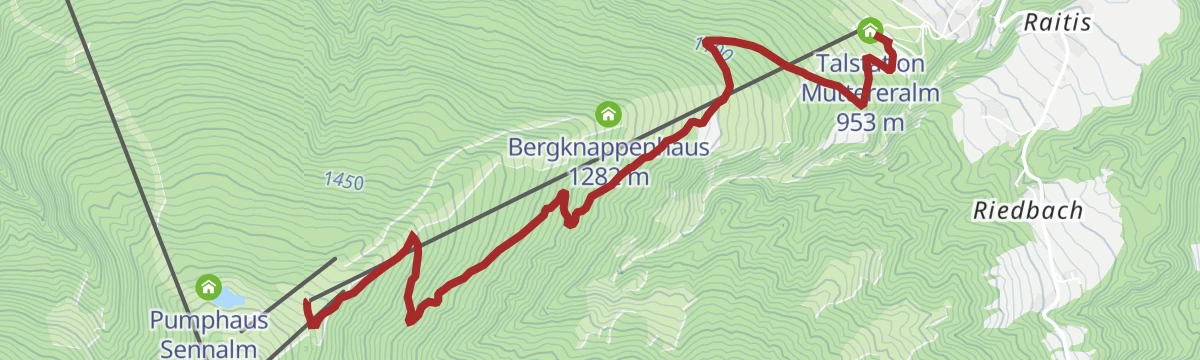
Muttereralm Skitourentrack
1.7 km away, in Mutters
Dedicated uphill track at the Muttereralm ski area above Mutters, following a marked line from the valley station to the restaurant at the top, kept clear of the pistes.
- 3.1 km
- Distance
- 650 m
- Ascent
- 650 m
- Descent
- 2 h 4 min
- Duration
- 24
- Check-ins
The Chainless One
1.7 km away, in Mutters
A descent from the Pfriemesköpfl lift station past the Bergknappenhaus down to the Muttereralmbahn valley station, with almost no pedalling to do.
- 7.0 km
- Distance
- 2 m
- Ascent
- 37 min
- Duration
- 24
- Check-ins
Mutterer Drei-Almen-Runde
3.4 km away, in Mutters
A circuit above Mutters linking the Mutterer Alm, Raitiseralm and Kreither Alm, starting and finishing at the Muttereralm valley station.
- 23.1 km
- Distance
- 1 060 m
- Ascent
- 3 h 3 min
- Duration
- 37
- Check-ins
Innsbrucker Almenweg (14)
4.4 km away, in Mutters
Long alm-hopping stage south-west of Innsbruck, stringing together the Mutterer, Götzner and Birgitzer Alm and the Birgitzköpflhaus over the Halsl saddle.
- 16.6 km
- Distance
- 953 m
- Ascent
- 6 h 41 min
- Duration
- 81
- Check-ins
Pisten-skitour Patscherkofel
6.8 km away, in Innsbruck
Fitness-oriented piste tour on Innsbruck's home mountain, climbing nearly 1,000 m in under 4 km from the valley station up to the Schutzhaus.
- 3.8 km
- Distance
- 958 m
- Ascent
- 958 m
- Descent
- 2 h 58 min
- Duration
- 29
- Check-ins
Skitour - Vitalweg Patscherkofel
7.7 km away, in Patsch
Gentle designated ski-touring track on Innsbruck's Patscherkofel, climbing past the Patscher Alm and Hochmahdalm toward the Schutzhaus - well suited to first tours.
- 3.5 km
- Distance
- 315 m
- Ascent
- 315 m
- Descent
- 1 h 15 min
- Duration
- 46
- Check-ins
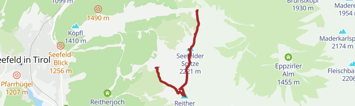
Haymon-Klettersteig (Reither Spitze 2.374 m)
13.5 km away, in Reith bei Seefeld
Via ferrata up the north flank of the Reither Spitze to the 2,374 m summit, with short climbing sections, traverses and exposed ground, started from the Seefelder Joch.
- 3.5 km
- Distance
- 452 m
- Ascent
- 3 h 24 min
- Duration
- 97
- Check-ins
Wanderung Blasius Kirche
2.9 km away, in Völs
Very short but steep path from Völs up the Blasiusberg to the landmark St. Blasius church, a small hilltop chapel above the Inntal.
- 1.5 km
- Distance
- 146 m
- Ascent
- 54 min
- Duration
Nasses Tal (Route 34)
3.7 km away, in Götzens
A short ride out of Götzens past the Axams tourist office and up into the wooded side valley above the two villages.
- 11.7 km
- Distance
- 339 m
- Ascent
- 1 h 21 min
- Duration
Innradweg - Tiroler Unterland - Radwanderroute 2
5 km away, in Innsbruck
A long day on the Inn valley cycle route, running downstream from Innsbruck through Hall in Tirol to Rattenberg, Brixlegg and Kundl.
- 99.6 km
- Distance
- 95 m
- Ascent
- 8 h 58 min
- Duration
- 5
- Check-ins
Mutterer Almweg (510)
1.8 km away, in Mutters
Ascent from the Muttereralm valley station beneath the gondola line to the Mutterer Alm and its restaurant terrace — a straightforward 660 m forest climb.
- 4.8 km
- Distance
- 663 m
- Ascent
- 3 h 52 min
- Duration
- 23
- Check-ins
The First One
2 km away, in Mutters
An easy top-to-bottom line from the Muttereralmbahn mountain station, passing the Mutterer Alm and the Bergknappenhaus on the way down.
- 1.9 km
- Distance
- 0 m
- Ascent
- 10 min
- Duration
- 20
- Check-ins






No routes of this kind in Natters yet.
Planning a trip to Natters?
Everything else Tyrol has, in one place


Take Natters with you into the mountains
Every route on this page with 3D terrain, GPX navigation and offline maps — including the valleys with no signal.
Data sources
- Official website: innsbruck.info ↗
- Routes and highlights: Innsbruck Tourismus, Wilder Kaiser Tourismus, Region Seefeld, Alpbachtal Tourismus
- Published as open data by the tourist boards named above.
- Region summary generated from the board's own material.
