













Curated by Garda Trentino
Nago-Torbole
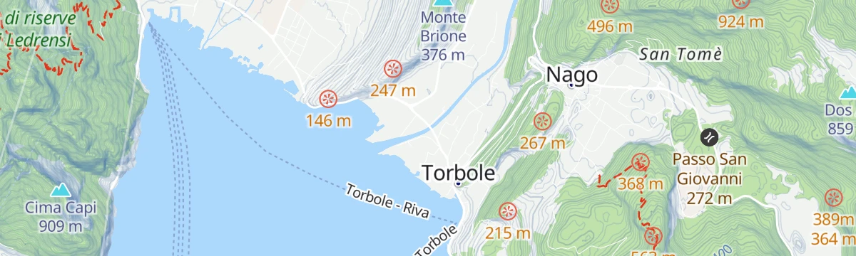
Twin villages at the northern tip of Lake Garda, Torbole a windsurfing centre below the Monte Baldo ridge.
- 15Highlights
- 41Routes
- Featured summit · Monte Altissimo di Nago
Highlights
All 15 from neighbouring places
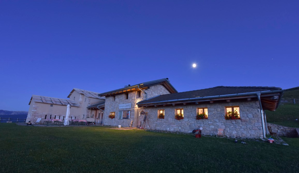
Rifugio Malga Campei
3.8 km away, in Brentonico
A hut on the Campei pastures of Monte Baldo, on the path from Brentonico to the Altissimo.
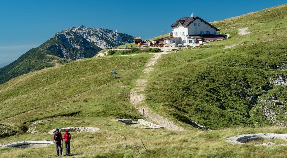
Rifugio Altissimo Damiano Chiesa
4.4 km away, in Brentonico
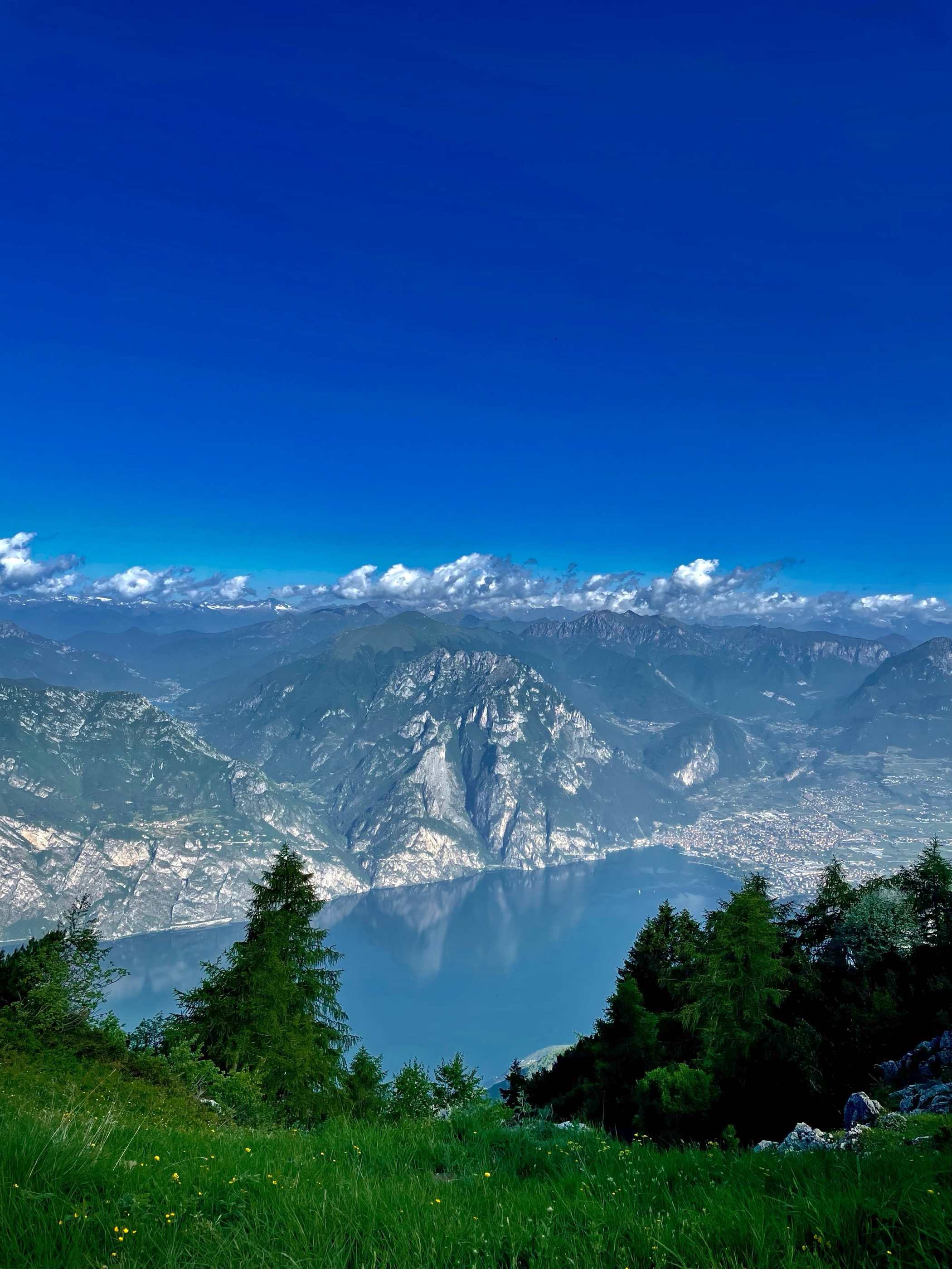
A hut just below the Altissimo di Nago, the northern summit of Monte Baldo, looking down on Lake Garda.
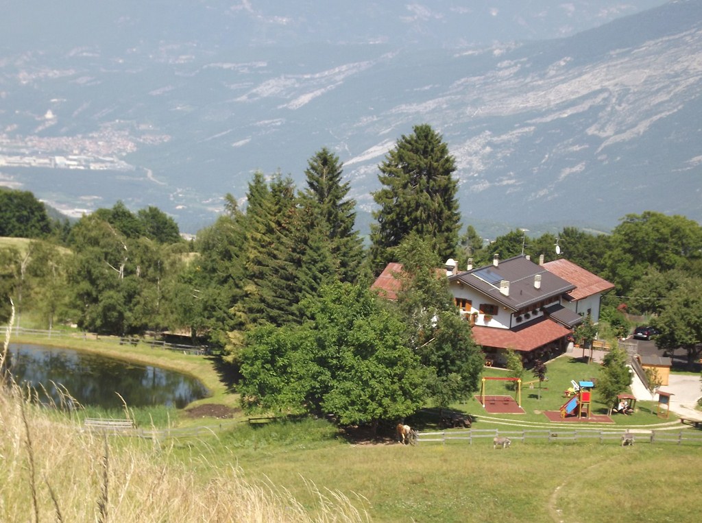
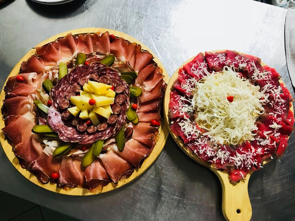
Agritur Malga Mortigola
6 km away, in Brentonico
A farm inn on the Baldo pastures above Brentonico, on the trails to the Altissimo.
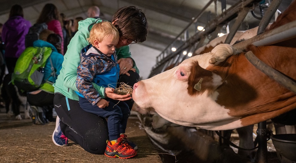
Agritur El Casel Malga Mortigola
6.1 km away, in Brentonico
A working dairy on the Mortigola pastures of Monte Baldo, serving what it makes.
Naturpark Monte Baldo
6.6 km away, in Brentonico
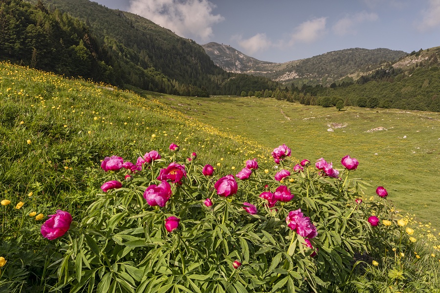
A local nature park on the Trentino flank of Monte Baldo, long known to botanists for its endemic plants.
Casa del Parco Naturale Locale Monte Baldo
6.9 km away, in Brentonico
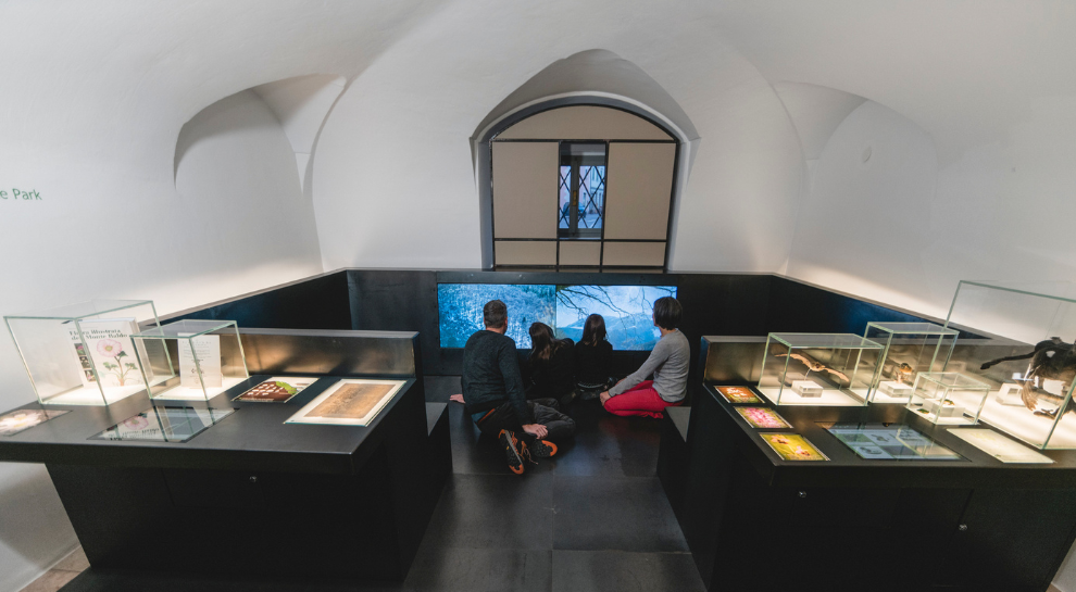
The visitor centre of the Monte Baldo local nature park, at Brentonico on the plateau above the Adige valley.
Chiesa dei SS. Pietro e Paolo
6.9 km away, in Brentonico
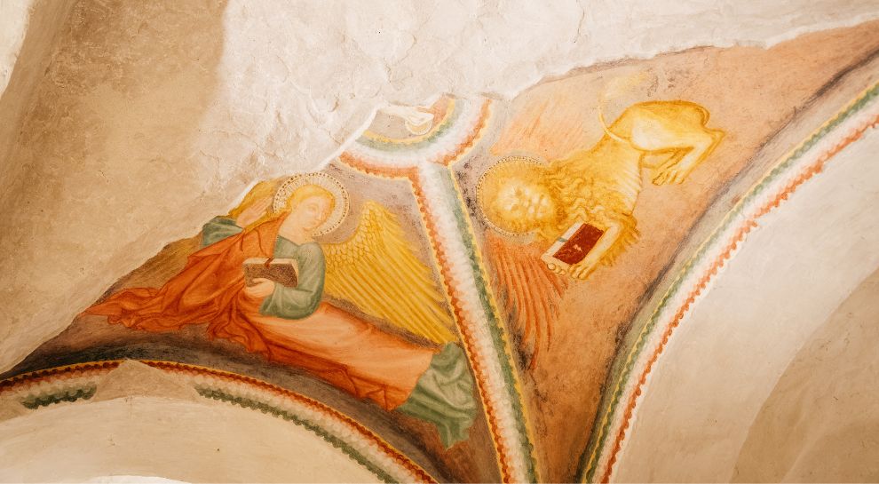
The parish church of Brentonico, on the terrace above the Adige.
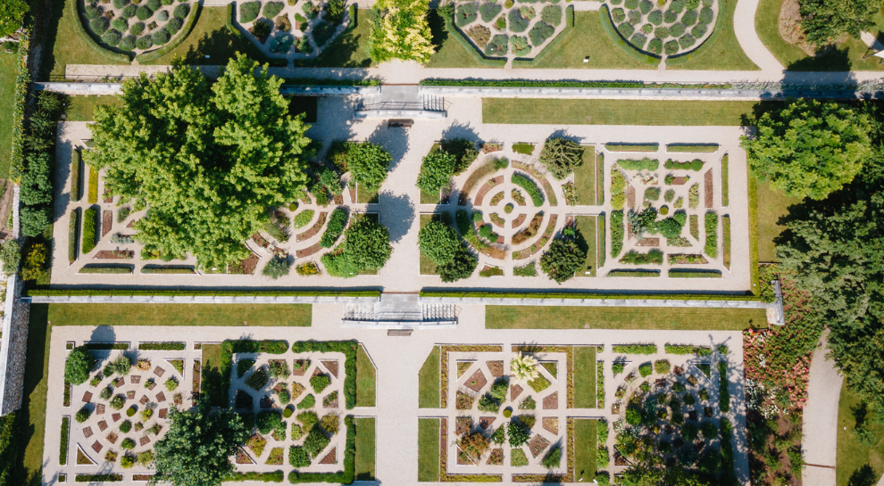
Botanischer Garten und Fossilien-Museum
6.9 km away, in Brentonico
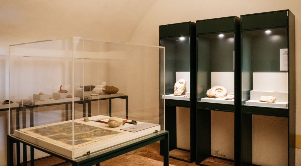
A botanic garden of Monte Baldo's flora at Brentonico, with a collection of the fossils quarried nearby.
Giardino Botanico e Museo del Fossile
6.9 km away, in Brentonico
A botanical garden and fossil museum at Brentonico, on the Monte Baldo plateau above the Adige valley.
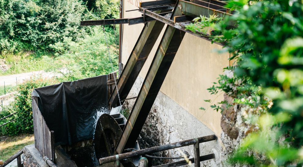
Mulino Zeni
7.4 km away, in Brentonico
A restored watermill at Brentonico, still grinding on demonstration days.
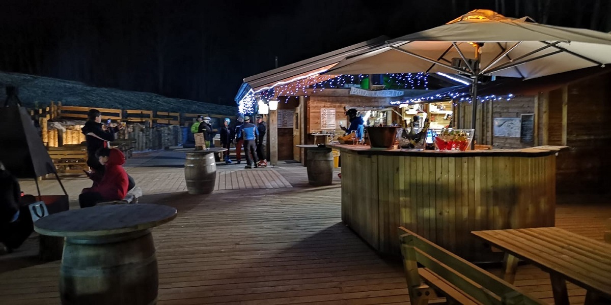
Baita del Trett
7.8 km away, in Brentonico
A hut on the San Valentino side of Monte Baldo, among the summer pastures.
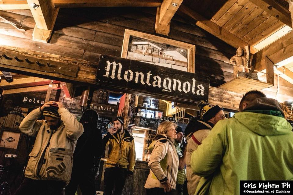
Baita Montagnola
8.7 km away, in Brentonico
A hut on the Montagnola meadows above Brentonico, on the Baldo ski and walking trails.
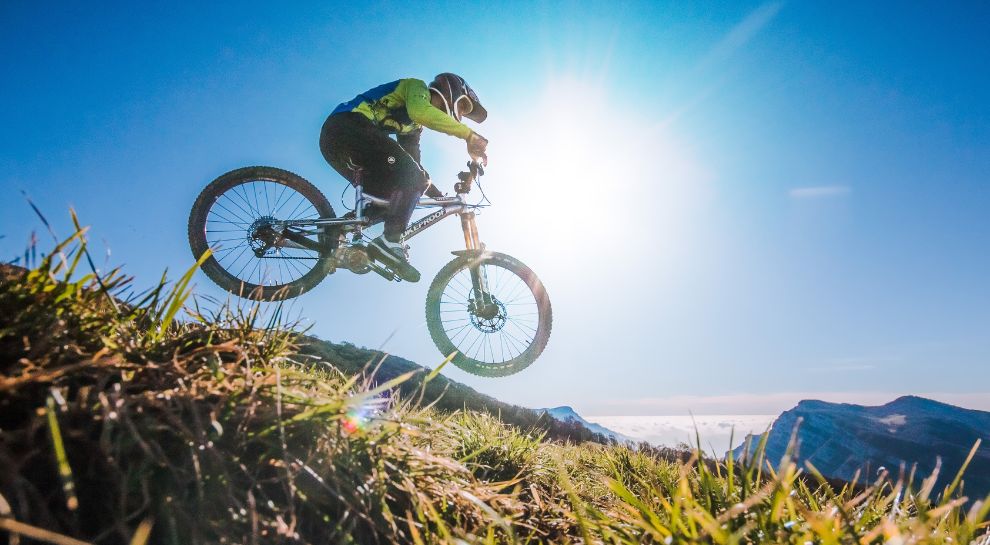
Skill Park Polsa
8.9 km away, in Brentonico
A mountain-bike skills area at Polsa on the Baldo slopes, with graded lines and jumps.
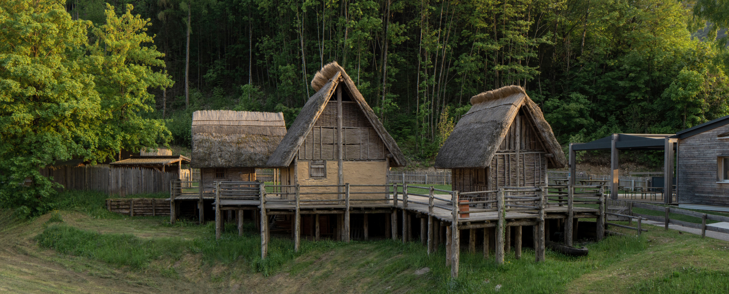
Museo delle Palafitte del Lago di Ledro
9.2 km away, in Ledro
A museum on the Bronze Age pile dwellings found in Lake Ledro, built over part of the excavated site.
Nothing of this kind in Nago-Torbole.
Routes
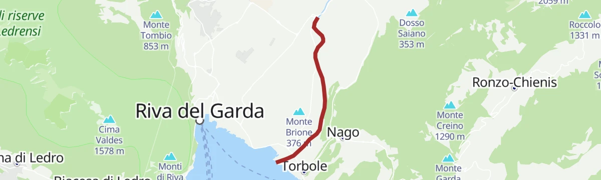
Sentiero della Pace 10: Riva del Garda to Torbole-Nago
A stage of the Peace Path over Monte Brione between Riva and Torbole, past its Great War forts.
- 6.4 km
- Distance
- 157 m
- Ascent
- 1 h 45 min
- Duration
- 122
- Check-ins
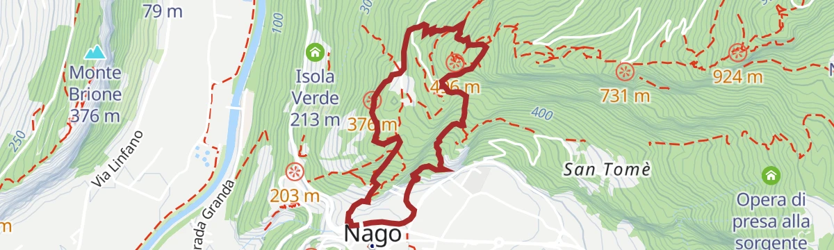
Open route Garda TrentinoFrom Nago to the summit of Monte Altissimo
A stretch of the Trentino peace trail up from Nago through the Monte Baldo reserve, past Austro-Hungarian tunnels and barricades, to the Altissimo.
- 8.6 km
- Distance
- 761 m
- Ascent
- 4 h 48 min
- Duration
- 139
- Check-ins
 Monte Altissimo di Nago 2 079 m
 Rifugio Altissimo "Damiano Chiesa" 2 059 m
 Sella Nord Est del Monte Varagna 1 711 m
- Sella Sud del Monte Varagna 1 735 m
Open route Garda TrentinoThe Baldo ridges between Altissimo and Telegrafo
A ridge traverse from the Damiano Chiesa hut on Monte Altissimo to Monte Maggiore by the Telegrafo hut, rocky and uneven in places.
- 15.6 km
- Distance
- 1 102 m
- Ascent
- 7 h 5 min
- Duration
- 315
- Check-ins
- Monte Altissimo di Nago 2 079 m
- Cima Telegrafo 2 200 m
- Cima delle Pozzette 2 132 m
- Punta Pettorina 2 192 m
- Dosso Moreont Alto 1 522 m
- Rifugio Altissimo "Damiano Chiesa" 2 059 m
- +8
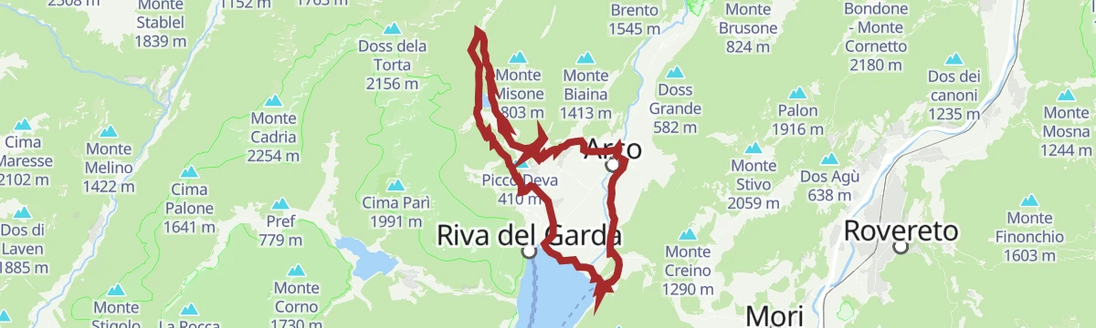
Open route APT Rovereto Vallagarina Monte BaldoAnello Garda Sarca
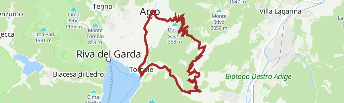
A round above Riva del Garda between the lake and the Sarca, topping the Dos dele Strie.
- 67.5 km
- Distance
- 1 396 m
- Ascent
- 7 h 18 min
- Duration
- 155
- Check-ins
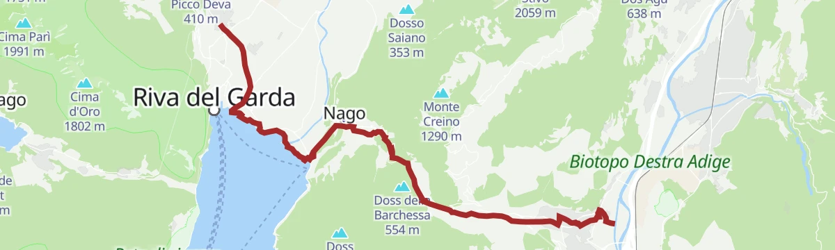
Ciclabile Arco - Torbole - Nago
A short loop linking Arco with Torbole and Nago, using the new cycleway section and the old Nago Vecchia road, past the Marmite dei Giganti.
- 13.6 km
- Distance
- 147 m
- Ascent
- 1 h 21 min
- Duration
- 40
- Check-ins
Open route Garda TrentinoMonte BaldoTour
A big road day from the Garda shore onto the Baldo ridge, crossing Bocca di Navene, Bocca del Creer and the Passo di San Valentino.
- 116.8 km
- Distance
- 2 329 m
- Ascent
- 12 h 33 min
- Duration
- 457
- Check-ins
- Albergo Rifugio Graziani 1 626 m
- Bocca del Creer 1 617 m
- Bocca di Navene 1 425 m
- Malga Canalece 1 574 m
- Chalet Novezza 1 386 m
- Passo di San Valentino 1 314 m
- +23
Open route Garda TrentinoSup Tour Conca d'Oro
A paddle along the north shore of Lake Garda between Riva and Torbole, under Monte Brione and past the reed beds at the mouth of the Sarca.
- 4.9 km
- Distance
- 0 m
- Ascent
- 1 h 9 min
- Duration
- 28
- Check-ins
Open route Garda Trentino18. From the Marmitte to Perlone between nature and geology
A route past the glacial potholes of the Marmitte dei Giganti, cavities several metres across cut by meltwater, on to Perlone with the lake in view.
- 7.6 km
- Distance
- 503 m
- Ascent
- 3 h 23 min
- Duration
- 19
- Check-ins
Open route Garda TrentinoFrom the Monte Baldo Cable Car to Garda | Monte Baldo - Altissimo 767
A long traverse from the Monte Baldo cable car above Malcesine to the top of Monte Altissimo, with Garda, the Brentonico plateau and the Adige valley in turn.
- 27.0 km
- Distance
- 622 m
- Ascent
- 9 h 21 min
- Duration
- 266
- Check-ins
- Dos de la Cronèla 706 m
- Rifugio Altissimo "Damiano Chiesa" 2 059 m
- Albergo Rifugio Graziani 1 626 m
- Bocca del Creer 1 617 m
- Baita dei Forti 1 745 m
- Bocca di Navene 1 425 m
- +9
Open route APT Rovereto Vallagarina Monte BaldoMonte Corno Trail-Tour
A bike climb from Arco through Bolognano and up a gravel forest road through chestnut and then conifer, with military positions to look at on the way.
- 20.2 km
- Distance
- 933 m
- Ascent
- 2 h 40 min
- Duration
- 21
- Check-ins
Open route Garda TrentinoTour di Affi
A classic group-ride loop from Torbole down the Garda shore and its short tunnels, over to Costermano and back north through the Adige valley.
- 106.1 km
- Distance
- 718 m
- Ascent
- 10 h 5 min
- Duration
- 254
- Check-ins
- Tourist Information 89 m
- Tourist Information 68 m
- Soardi Center 212 m
- cappella di San Rocco 213 m
- Chiesa di Sant'Antonio 223 m
- Villa Monica 75 m
- +8
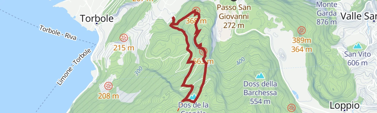
Open route Garda Trentino19. Marmitte, Castel Penede and Strada Santa Lucia
Past the glacial potholes and the Penede castle ruin above Nago, on the old Santa Lucia road to Garda.
- 5.8 km
- Distance
- 261 m
- Ascent
- 2 h
- Duration
- 19
- Check-ins
Open route Garda TrentinoSup Tour Corno di Bò
A paddle from Purfina beach round to the eastern shore and the Corno di Bò, below limestone climbing crags, with a stop at Spiaggia delle Lucertole.
- 7.4 km
- Distance
- 0 m
- Ascent
- 1 h 44 min
- Duration
- 17
- Check-ins
Open route Garda TrentinoLa linea blu dell'Alto Garda
A historical route on the 1945 front line, from the Riva del Garda lakefront to the lower slopes of Monte Altissimo near Torbole.
- 15.2 km
- Distance
- 315 m
- Ascent
- 4 h 19 min
- Duration
- 156
- Check-ins
From Pasubio to Lake Garda
A descent from the Pian delle Fugazze below the Pasubio, through the Vallarsa to Rovereto and Torbole.
- 53.5 km
- Distance
- 599 m
- Ascent
- 5 h 42 min
- Duration
- 181
- Check-ins
- Pian delle Fugazze 1 163 m
- Albergo al Passo 1 170 m
- Miramonti 1 160 m
- MB Ristoro "Magna & bevi" 1 182 m
- Malga Fratte /Malga Frate 1 195 m
- Malga Morbi 1 211 m
- +13
Open route APT Rovereto Vallagarina Monte BaldoSup Tour Baia Azzurra
A beginner's paddle along the lakefront between Riva del Garda and the Lido di Arco, over the line where the Sarca current meets the lake.
- 2.4 km
- Distance
- 0 m
- Ascent
- 33 min
- Duration
- 17
- Check-ins
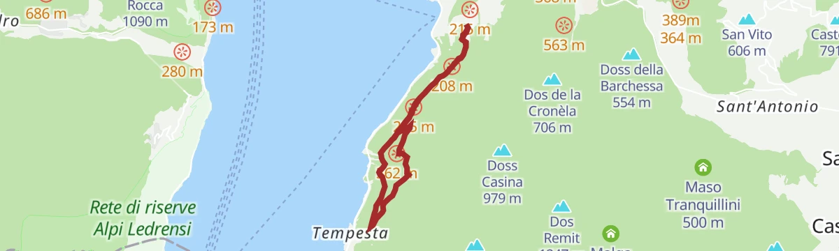
Open route Garda TrentinoSentiero Busatte Tempesta
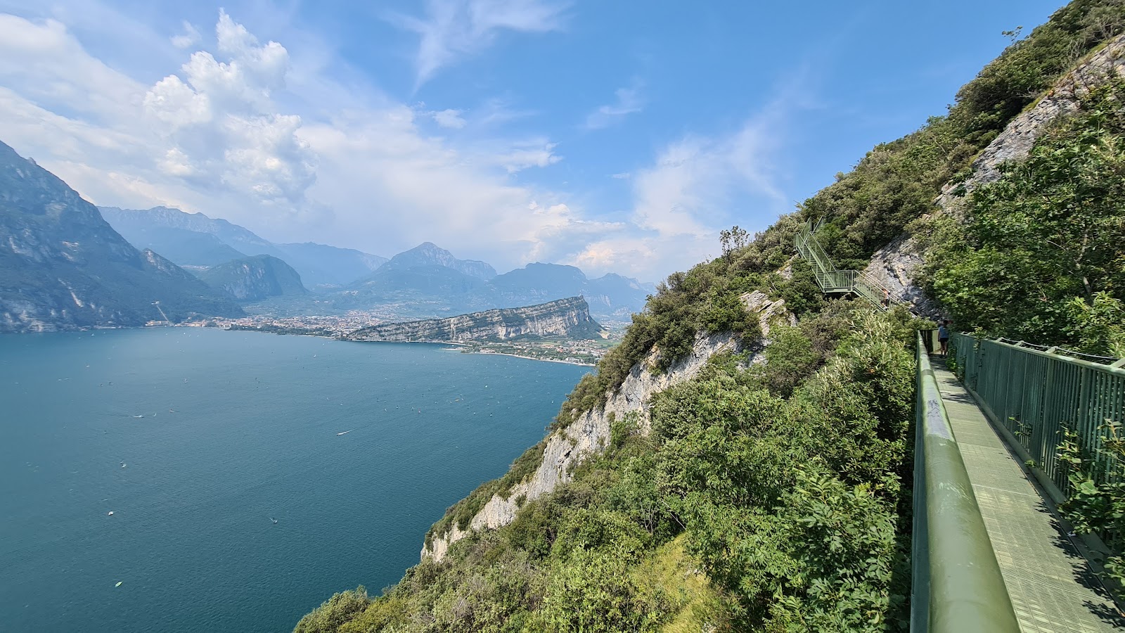
A path along the cliffs above Lake Garda with more than four hundred metal steps on the steep rock, returning by forest road or bus.
- 7.9 km
- Distance
- 338 m
- Ascent
- 2 h 41 min
- Duration
- 12
- Check-ins
Open route Garda TrentinoGarda Trek - LowLoop 2: from Arco to Riva del Garda
The second Low Loop stage, following old carriage roads across terraced farmland from Arco before finishing along the shore at Riva del Garda.
- 19.2 km
- Distance
- 565 m
- Ascent
- 5 h 54 min
- Duration
- 143
- Check-ins
- Sesto Grado 177 m
- Garda Dolomiti Azienda per il turismo S.p.A. 69 m
- Acquedotto 141 m
- San Luigi 84 m
- Case ex Caproni 302 m
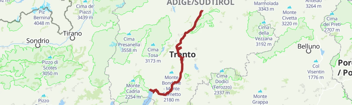
Open route Garda TrentinoCastelfeder – Trento – Garda
A cycle-path route down the Adige from Ora to Lake Garda, through orchards, vineyards and the old river towns.
- 92.1 km
- Distance
- 198 m
- Ascent
- 8 h 25 min
- Duration
- 172
- Check-ins
- Prati Del Diavolo 208 m
- Taio 189 m
- Garda Dolomiti Azienda per il turismo S.p.A. 69 m
- Soardi Center 212 m
- cappella di San Rocco 213 m
- Passo San Giovanni 272 m
- +15
Open route Sterzing, Pfitsch und FreienfeldFiume Sarca U
A flat route beside the river Sarca on the plain between Nago-Torbole and the lake.
- 4.8 km
- Distance
- 21 m
- Ascent
- 1 h 10 min
- Duration
- 10
- Check-ins
Open route Trentino FishingGrande Guerra: Doss Casina e Dosso Alto
A route among the Great War sites on the slopes of Monte Baldo, ground where the Italian Futurists fought.
- 7.0 km
- Distance
- 488 m
- Ascent
- 3 h 14 min
- Duration
- 11
- Check-ins
Garda Trek - Medium Loop 4: From Bolognano to Riva del Garda
The closing Medium Loop stage, running down the east side of the valley from Bolognano and taking the Busatte-Tempesta ladders above the lake to Riva.
- 23.0 km
- Distance
- 1 026 m
- Ascent
- 8 h 1 min
- Duration
- 142
- Check-ins
- Dos de la Cronèla 706 m
- Garda Dolomiti Azienda per il turismo S.p.A. 69 m
- Tourist Information 68 m
- Malga Zures 691 m
Open route Garda TrentinoCiclabile Adige
A flat cycle path linking Mori in the Vallagarina with Torbole on Lake Garda, running past the campsites at Arco Lido.
- 19.9 km
- Distance
- 160 m
- Ascent
- 1 h 56 min
- Duration
- 154
- Check-ins
Fiume Sarca U3
A very short flat stretch beside the river Sarca near Torbole, where the river enters Lake Garda.
- 500 m
- Distance
- 0 m
- Ascent
- 7 min
- Duration
Great War: Doss Casina and Dosso Alto
A route over the ground held by both armies above Nago: Malga Zures, tunnelled by the Austro-Hungarians, and the Italian posts on Doss Casina.
- 7.0 km
- Distance
- 475 m
- Ascent
- 3 h 11 min
- Duration
- 11
- Check-ins
Open route Garda TrentinoGardaTrek - Top Loop 6: In the Garden of Europe
The last big climb of the Garda Trek, on SAT 601 and the peace trail up to Monte Altissimo, with nowhere to buy food or water on the way.
- 11.2 km
- Distance
- 1 856 m
- Ascent
- 7 h 8 min
- Duration
- 103
- Check-ins
- Dos de la Cronèla 706 m
- Rifugio Altissimo "Damiano Chiesa" 2 059 m
- Sella Nord Est del Monte Varagna 1 711 m
- Sella Sud del Monte Varagna 1 735 m
- Malga Zures 691 m
- Malga Casina 1 025 m
- +1
Open route Garda TrentinoMalcesine Panoramic Road
A road tour down the eastern side of Lake Garda from Torbole, climbing to the Campiano pass above Malcesine through its olive groves.
- 34.5 km
- Distance
- 587 m
- Ascent
- 3 h 37 min
- Duration
- 135
- Check-ins
- Tourist Information 89 m
- Tourist Information 68 m
- Villa Monica 75 m
- Villa Tempesta 76 m
- Baitone Alpino 78 m
- Passo Campiano 375 m
Open route Garda TrentinoWWI: Monte Corno and Busa dei Capitani
A climb through olive and chestnut to Monte Corno above the pass, where trenches, tunnels and gun positions ring the top and two carved busts survive.
- 3.4 km
- Distance
- 321 m
- Ascent
- 1 h 59 min
- Duration
Open route Garda TrentinoThe Great War: along the Segrom ridge to Malga Zures
A walk up the Segrom ridge on a military road begun in the 1880s, past barracks, trenches and gun positions, to Malga Zures.
- 5.1 km
- Distance
- 453 m
- Ascent
- 2 h 50 min
- Duration
- 11
- Check-ins
Open route Garda TrentinoSentiero della Pace 11: Torbole - Nago to Rifugio Damiano Chiesa
A peace trail stage climbing from Nago-Torbole to the Damiano Chiesa hut, the view reaching back over Carè Alto, the Cadria and much of the lake.
- 11.1 km
- Distance
- 1 867 m
- Ascent
- 7 h 10 min
- Duration
- 103
- Check-ins
- Dos de la Cronèla 706 m
- Rifugio Altissimo "Damiano Chiesa" 2 059 m
- Sella Nord Est del Monte Varagna 1 711 m
- Sella Sud del Monte Varagna 1 735 m
- Malga Zures 691 m
- Malga Casina 1 025 m
- +1
Open route Garda TrentinoLago di Tenno Gravel Tour
A mixed-surface loop from the Garda campsites through woods and medieval villages up to the turquoise lake at Tenno, then back among vineyards.
- 45.5 km
- Distance
- 1 013 m
- Ascent
- 4 h 59 min
- Duration
- 131
- Check-ins
Open route Garda TrentinoGrande Guerra: Monte Corno
A route linking Monte Corno, the Perlone strongpoint and the Busa dei Capitani, all part of the second Austro-Hungarian line.
- 6.9 km
- Distance
- 535 m
- Ascent
- 3 h 28 min
- Duration
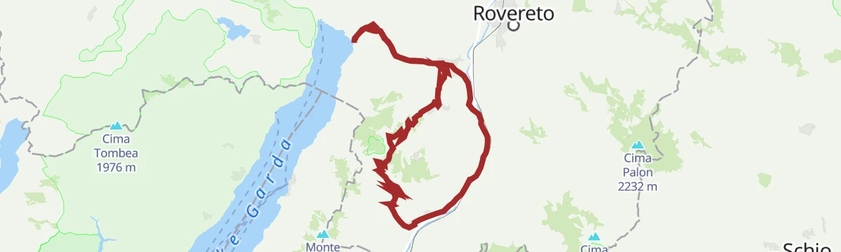
Ring tour Mori-Val di Gresta-Cei
A loop up from the Garda end of the valley over Passo San Giovanni and Santa Barbara, crossing the Val di Gresta to Passo Bordala and Lago di Cei.
- 69.1 km
- Distance
- 2 042 m
- Ascent
- 8 h 3 min
- Duration
- 116
- Check-ins
- Sesto Grado 177 m
- Passo Bordala 1 250 m
- Passo Santa Barbara 1 169 m
- Hotel Passo Bordala 1 255 m
- Soardi Center 212 m
- cappella di San Rocco 213 m
- +14
Open route APT Rovereto Vallagarina Monte BaldoMonte Velo - Passo Santa Barbara - Bordala - Mori
A long road day over Passo Santa Barbara and Passo Bordala, dropping into the Vallagarina and returning across Passo San Giovanni to the Garda basin.
- 60.3 km
- Distance
- 1 513 m
- Ascent
- 6 h 47 min
- Duration
- 115
- Check-ins
- Passo Bordala 1 250 m
- Passo Santa Barbara 1 169 m
- Hotel Passo Bordala 1 255 m
- Soardi Center 212 m
- cappella di San Rocco 213 m
- Passo San Giovanni 272 m
- +6
Open route Garda TrentinoCastelfeder – Trient – Garda
The same Adige descent to Lake Garda on well-signed paths, at a gradient that suits riders of any standard.
- 91.6 km
- Distance
- 125 m
- Ascent
- 8 h 18 min
- Duration
- 110
- Check-ins
- Garda Dolomiti Azienda per il turismo S.p.A. 69 m
- cappella di San Rocco 213 m
- Passo San Giovanni 272 m
- Chiesa di Sant'Antonio 223 m
- Villa Eleganza 228 m
 Mori - Ala 167 m
- +7
Open route Südtirols SüdenTour to the Garda Lake
A long, nearly level ride down to the north end of Lake Garda and the villages along its shore.
- 96.2 km
- Distance
- 166 m
- Ascent
- 8 h 45 min
- Duration
- 110
- Check-ins
- Garda Dolomiti Azienda per il turismo S.p.A. 69 m
- cappella di San Rocco 213 m
- Passo San Giovanni 272 m
- ENI 197 m
- Villa Eleganza 228 m
- Visitrovereto.it 190 m
- +7
Open route Südtirols SüdenGita giornaliera al Lago di Garda
A road-bike day out to Lake Garda over the Passo San Giovanni, almost flat for its whole length.
- 98.6 km
- Distance
- 131 m
- Ascent
- 8 h 56 min
- Duration
- 98
- Check-ins
- Prati Del Diavolo 208 m
- Soardi Center 212 m
- cappella di San Rocco 213 m
- Passo San Giovanni 272 m
- Chiesa di Sant'Antonio 223 m
- ENI 197 m
- +12
Open route Sterzing, Pfitsch und FreienfeldMori - Avio - San Valentino
A long road loop over the Passo San Giovanni and up the Valle dei Molini to the Passo di San Valentino on the north side of Baldo.
- 73.6 km
- Distance
- 1 814 m
- Ascent
- 8 h 14 min
- Duration
- 96
- Check-ins
- Passo di San Valentino 1 314 m
- Tourist Information 68 m
- Soardi Center 212 m
- cappella di San Rocco 213 m
- Passo San Giovanni 272 m
- Baita al Trett 1 316 m
- +11
Open route Garda TrentinoMonte Velo - Santa Barbara - Loppio
The classic version of the Santa Barbara ascent, with the drop from Val di Gresta to Loppio and the way back over Passo San Giovanni.
- 41.0 km
- Distance
- 1 333 m
- Ascent
- 4 h 54 min
- Duration
- 55
- Check-ins
- Passo Santa Barbara 1 169 m
- Passo San Giovanni 272 m
- Bike Farm Linfano 74 m
- Villa Eleganza 228 m
- Maso Piantim 399 m
- Salve Regina 602 m
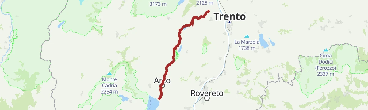
Open route Garda TrentinoCiclabile dei Laghi Torbole – Sarche Cycle path
A level, busy path following the Sarca upstream from the head of Lake Garda, passing the Arco climbing crags and the Centrale di Fies.
- 24.8 km
- Distance
- 220 m
- Ascent
- 2 h 21 min
- Duration
- 44
- Check-ins
Open route Garda TrentinoCiclovia dei Laghi
The cycle and footpath of the Valle dei Laghi, from the Garda shore up past its lakes and vineyards.
- 37.3 km
- Distance
- 455 m
- Ascent
- 3 h 36 min
- Duration
- 36
- Check-ins
No routes of this kind in Nago-Torbole yet.
The region's own picks

Featured route
Sentiero della Pace 10: Riva del Garda to Torbole-Nago
A stage of the Peace Path over Monte Brione between Riva and Torbole, past its Great War forts.
Planning a trip to Nago-Torbole?
Everything else Trentino-Alto Adige/Südtirol has, in one place


Take Nago-Torbole with you into the mountains
Every route on this page with 3D terrain, GPX navigation and offline maps — including the valleys with no signal.
Data sources
- Official website: gardatrentino.it ↗
- Routes and highlights: Garda Trentino, Visitrovereto, Visit Trentino, APT Rovereto Vallagarina Monte Baldo, Sterzing, Pfitsch und Freienfeld, Südtirols Süden, Italia.it, Trentino Fishing
- Published as open data by the tourist boards named above.
- Region summary generated from the board's own material.
