
 Cable car



















Curated by Hochkönig Tourismus
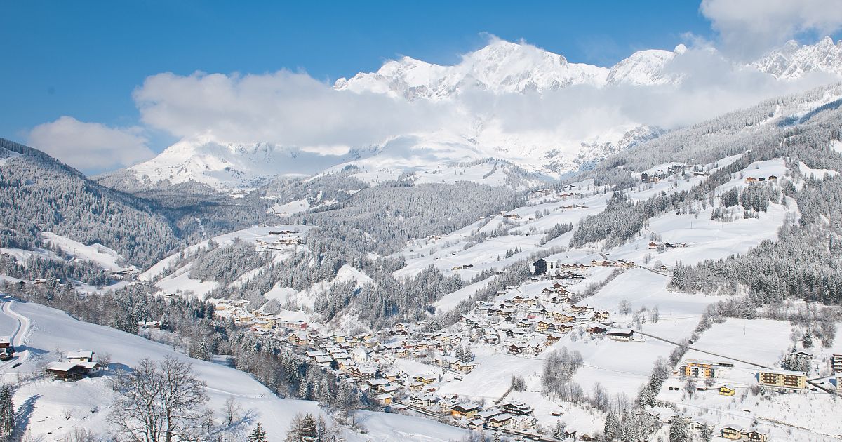
Mühlbach am Hochkönig
A former copper-mining village under the south wall of the Hochkönig, its ore worked since the Bronze Age and its slopes now part of the Hochkönig ski round.
- 28Highlights
- 100Routes
- Featured summit · Hochkönig
Highlights
The 20 highest-rated · see the rest on hochkoenig.at ↗
Alpengasthof Kopphütte
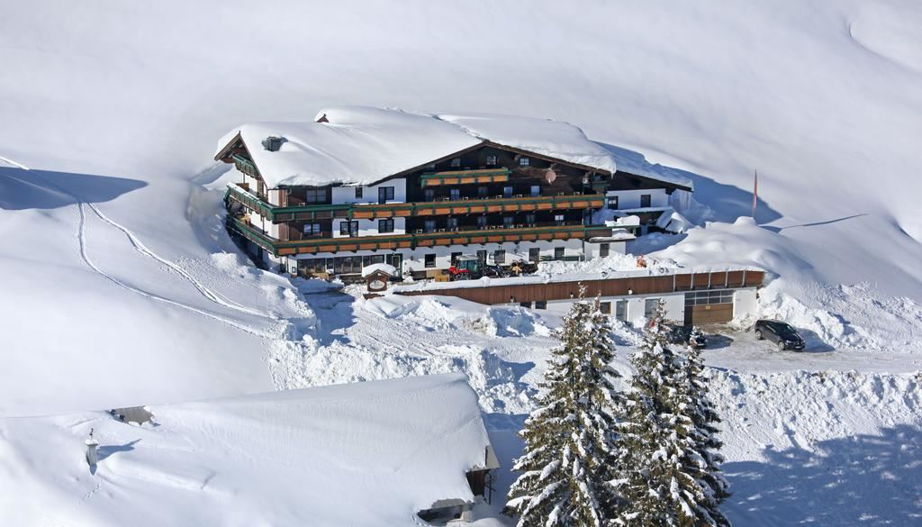
An alpine inn on the slopes above Mühlbach am Hochkönig, the Kopphütte, serving regional home cooking to walkers and skiers.
Alpengasthof Rapoldsberg 1.303 m
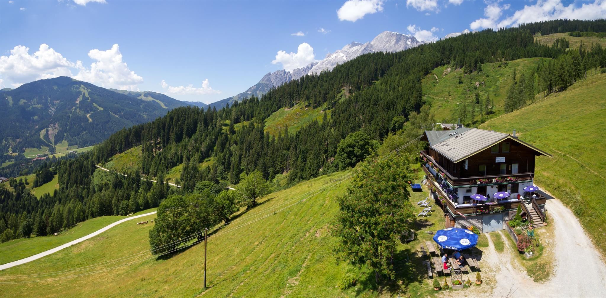
An alpine inn at 1,303 m on the Rapoldsberg above Mühlbach am Hochkönig, combining a farmhouse restaurant with Austrian home cooking.
Dientalm 1.400 m
A pasture hut at 1,400 m between Mühlbach and Dienten in the Hochkönig region, serving regional food amid open walking country.
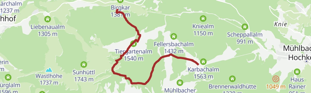
Fellersbachalm 1.432m
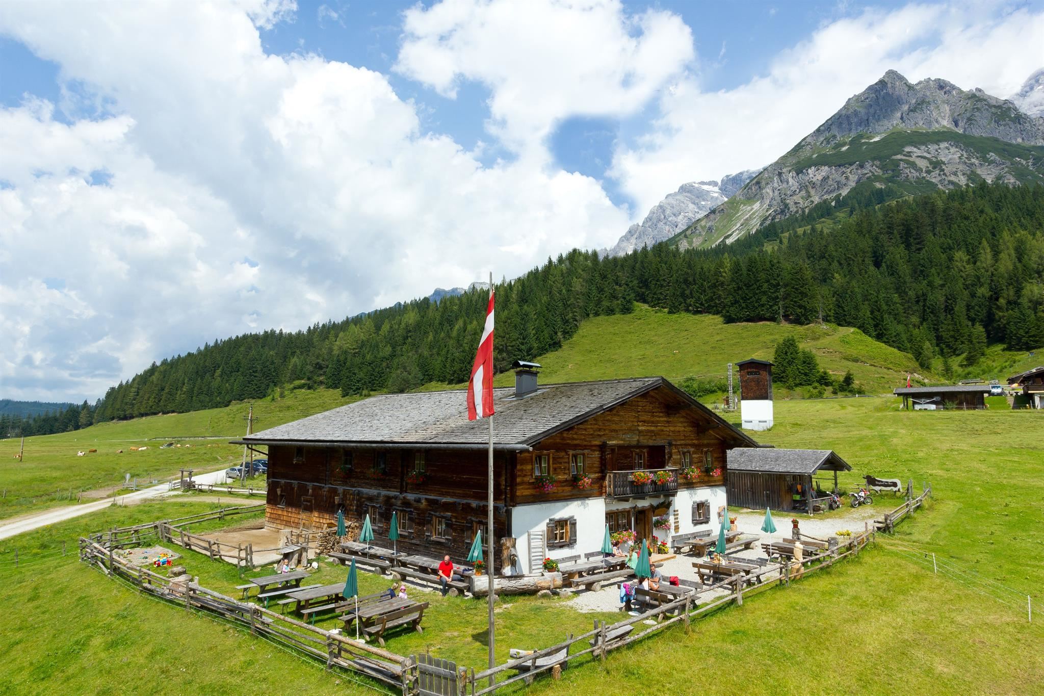
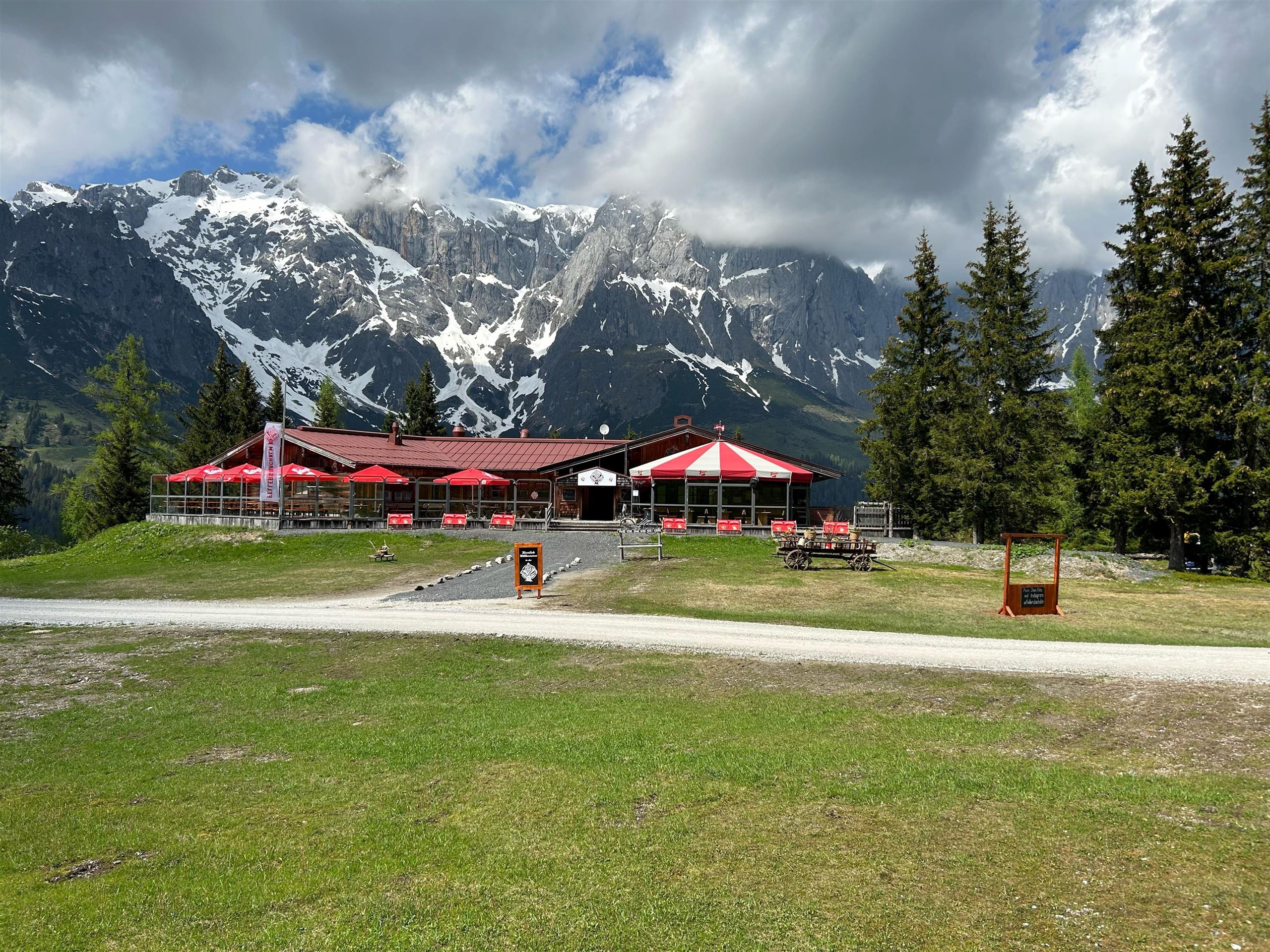
A pasture hut at 1,432 m in the Fellersbach area above Mühlbach am Hochkönig, serving traditional Austrian dishes.
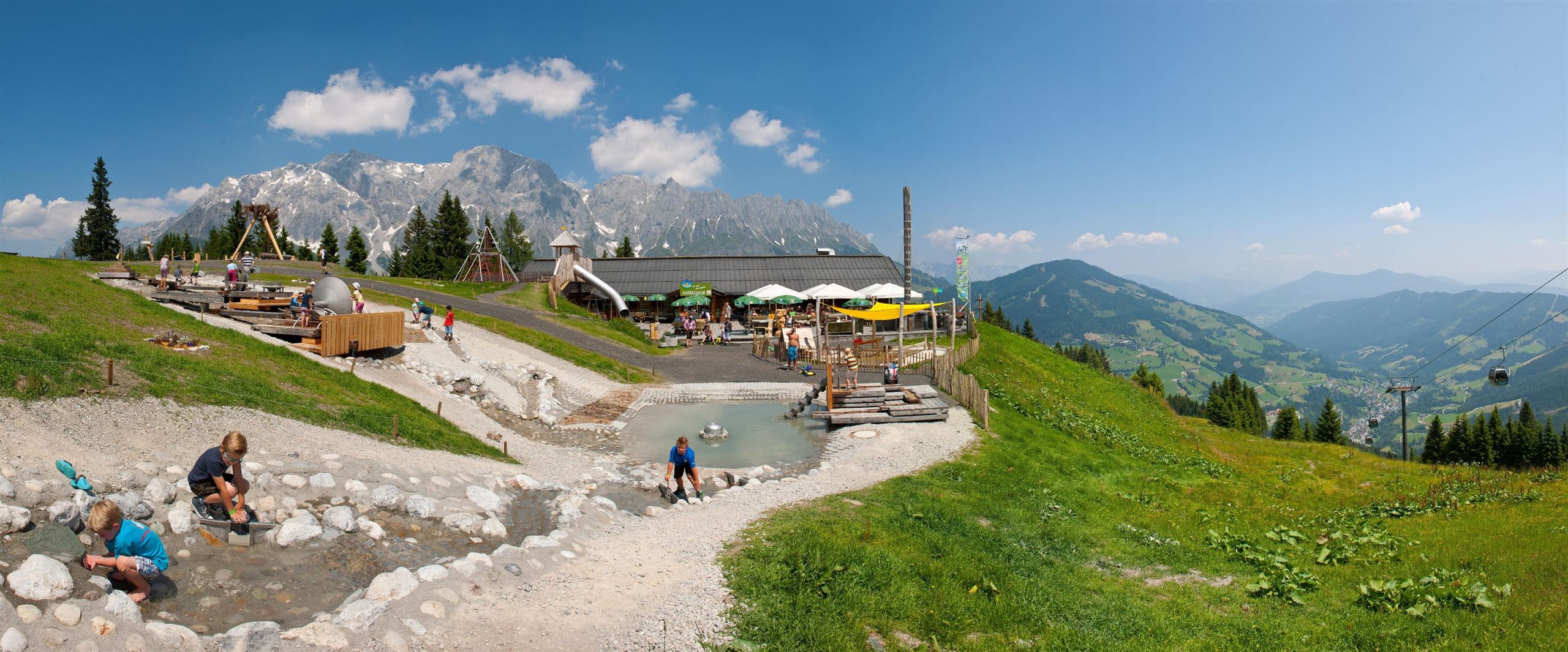
Karbachalm 1.564 m
A hut at 1,564 m on the Karbachalm above Mühlbach am Hochkönig, reached by gondola or on foot, with regional and vegan dishes.
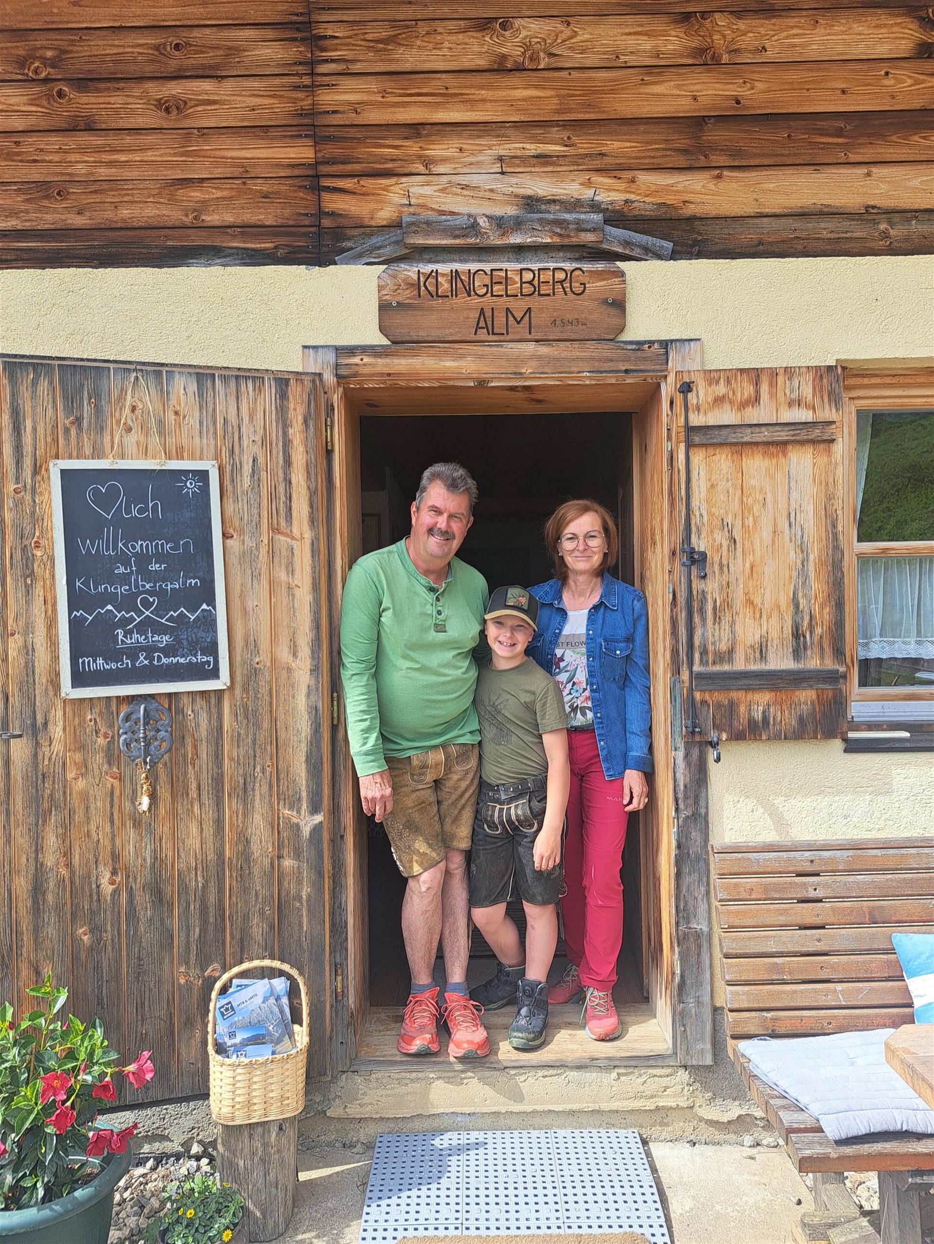
Klingelbergalm 1.543 m
A pasture hut at 1,543 m on the Klingelberg above Mühlbach am Hochkönig, with home cooking for walkers in the summer months.
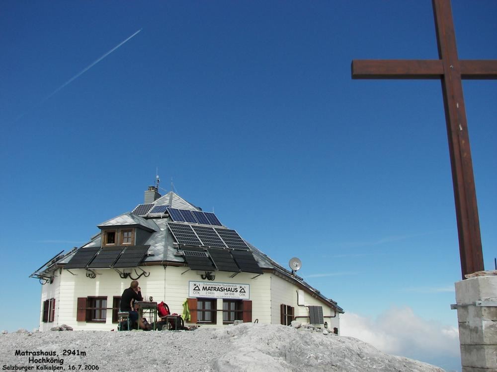
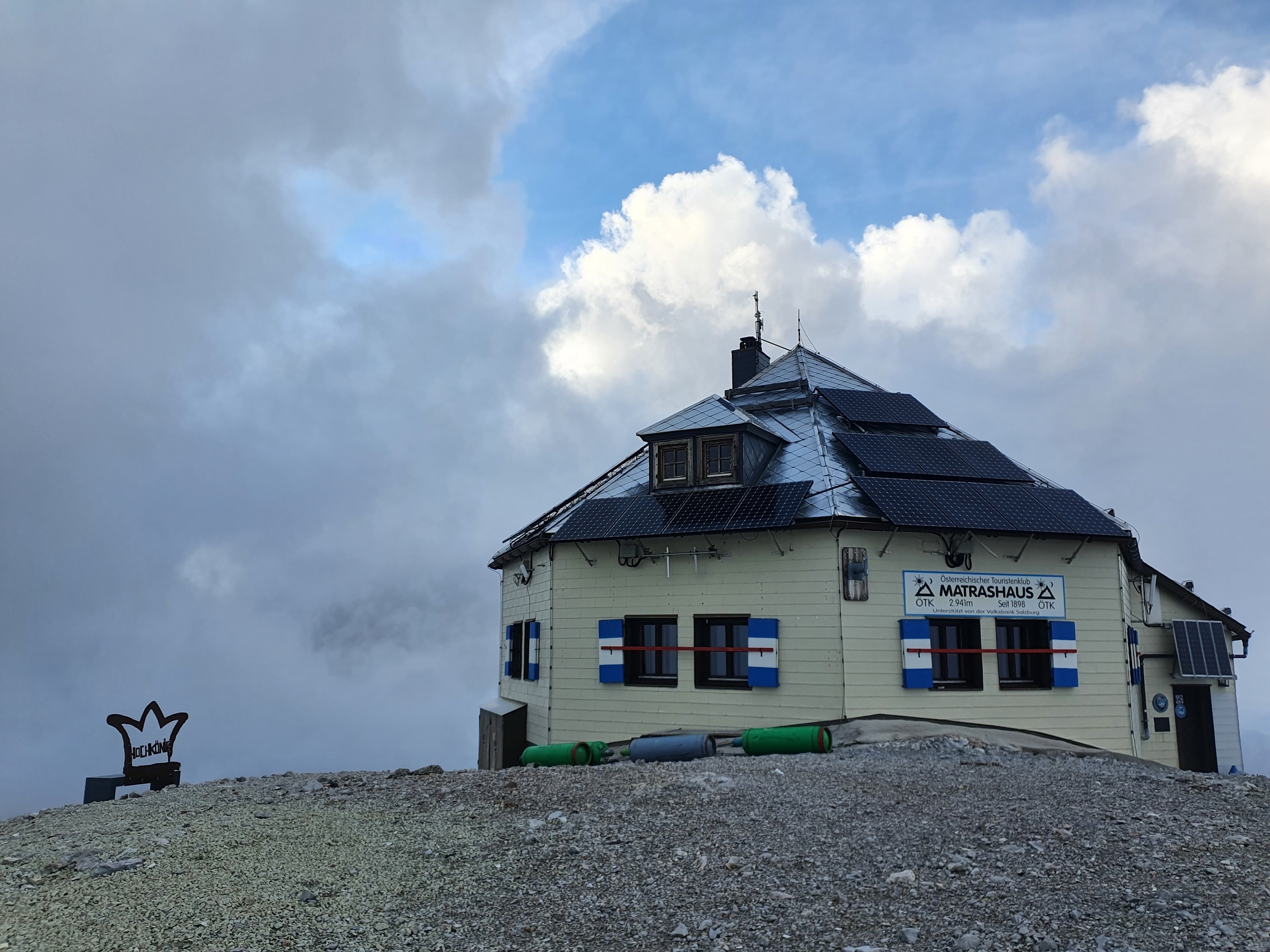
Matrashaus 2.941 m
The summit refuge on the Hochkönig at 2,941 m, the highest point of the Berchtesgaden Alps, reached by long mountain routes from Mühlbach or Werfen.
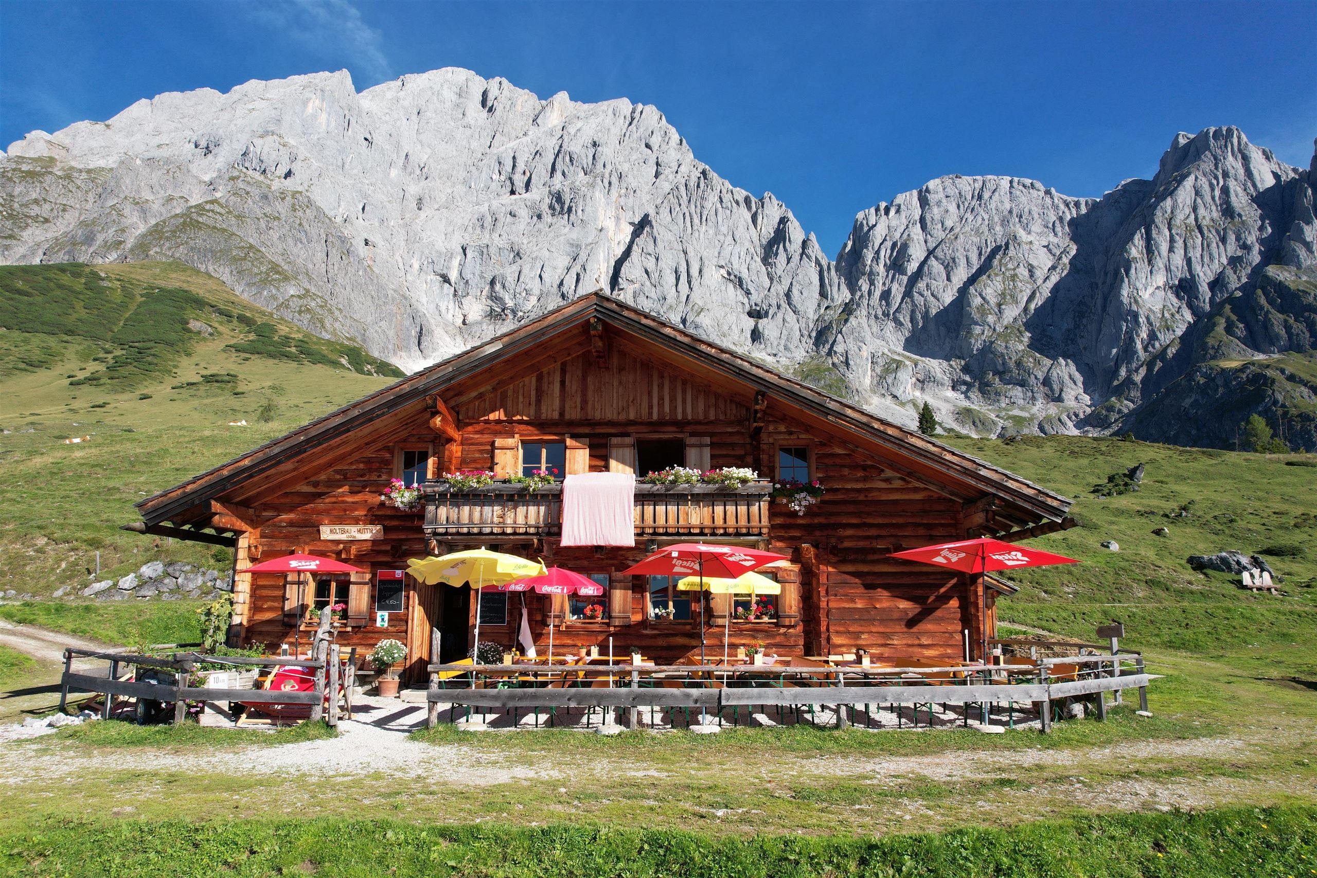
Molterauhütte 1.520 m
A pasture hut at 1,520 m above Mühlbach am Hochkönig, serving traditional Austrian food below the walls of the massif.
Pronebenalm 1.280 m
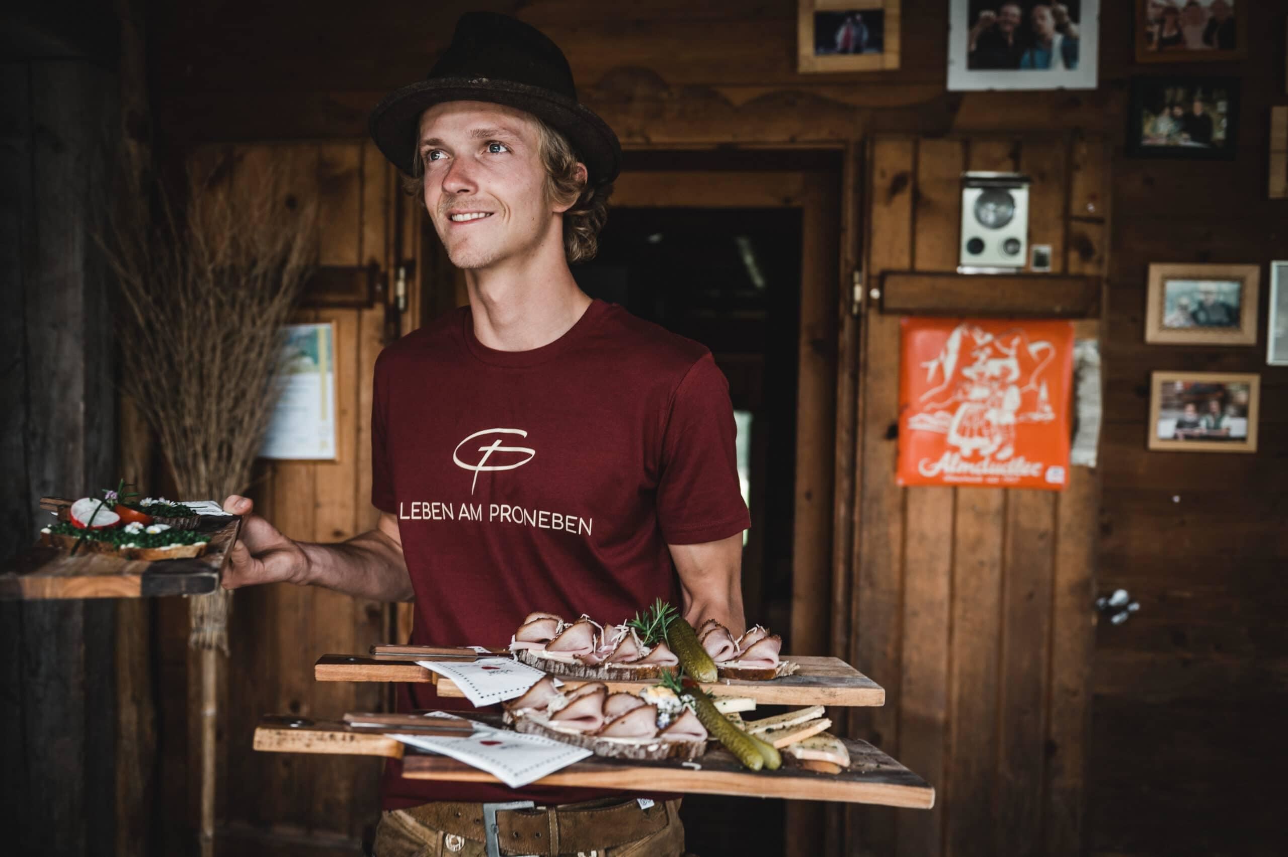
A pasture hut at 1,280 m above Mühlbach am Hochkönig, with home cooking for walkers on the paths of the Mühlbach side.
Riedingalm 1.370 m
A pasture hut at 1,370 m above Mühlbach am Hochkönig, offering plain regional cooking beneath the southern walls of the Hochkönig.
Scheppal Alm 954 m
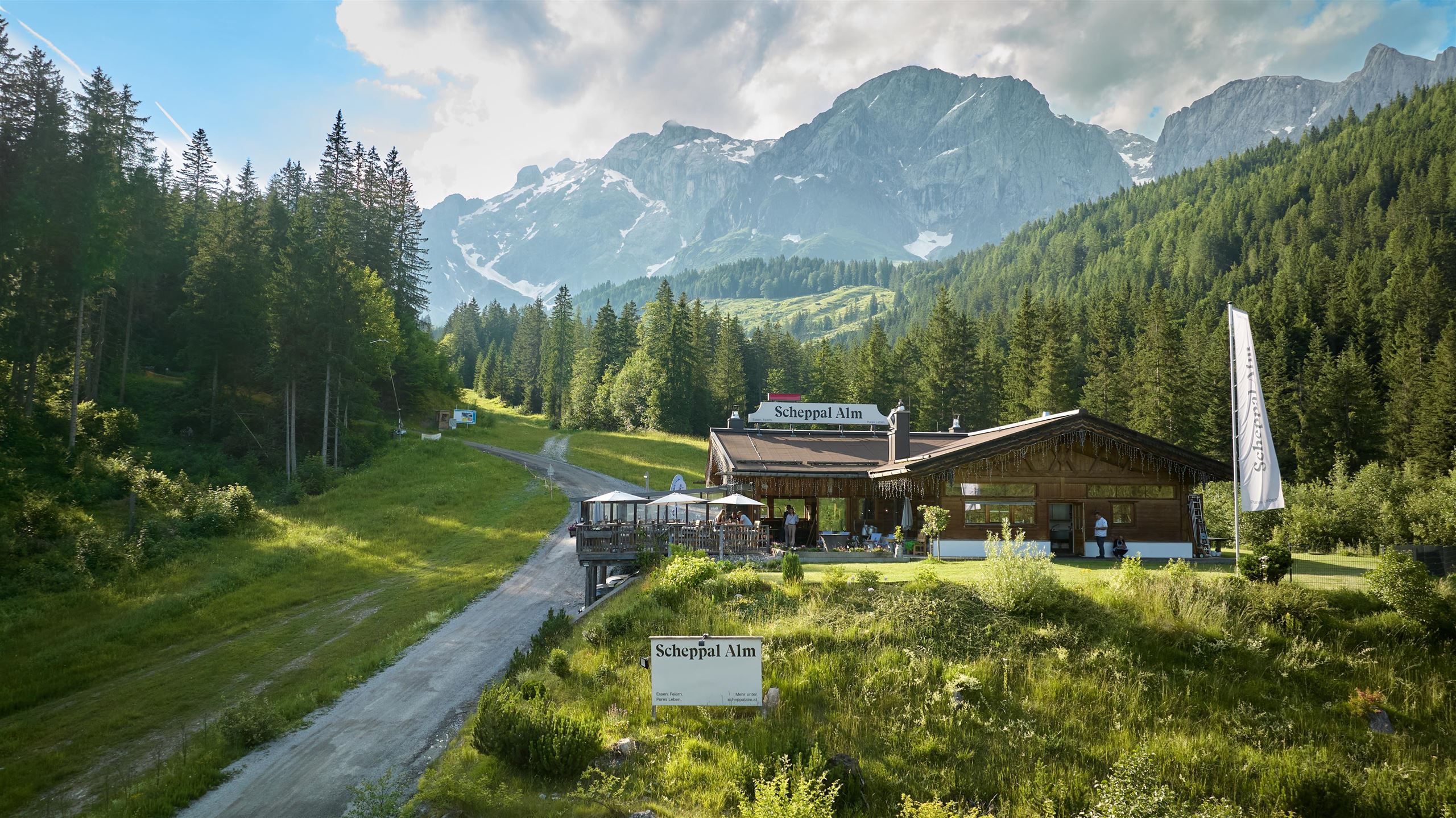
An alm at 954 m near Mühlbach am Hochkönig with a bar-restaurant serving Austrian and vegan dishes close to the village.
Schweizerhütte
A mountain hut above Mühlbach am Hochkönig near the Arthurhaus meadows, serving regional home cooking to walkers below the massif.
Stegmoosalm 1.441 m
A pasture hut at 1,441 m above Mühlbach am Hochkönig, cooking Austrian dishes for walkers on the alm slopes.
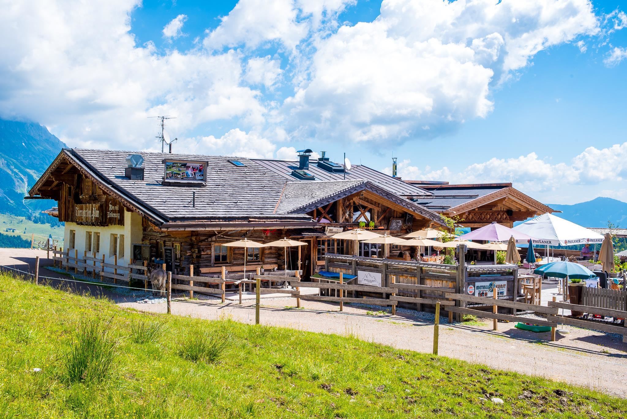
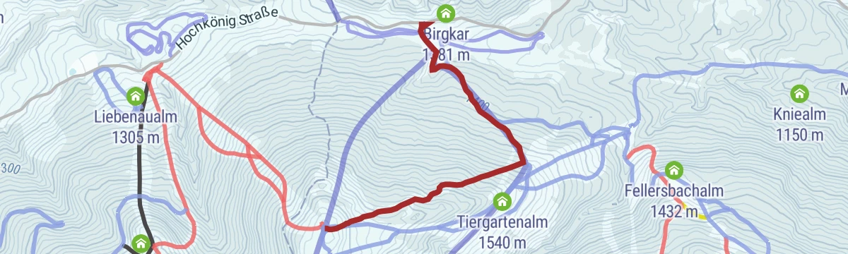
Tiergartenalm 1.540 m
A hut at 1,540 m on the Tiergarten slopes above Mühlbach am Hochkönig, with regional and vegan cooking for skiers and walkers.
Windraucheggalm 1.460 m
A pasture hut at 1,460 m above Mühlbach am Hochkönig, with plain home cooking beneath the southern walls of the Hochkönig.
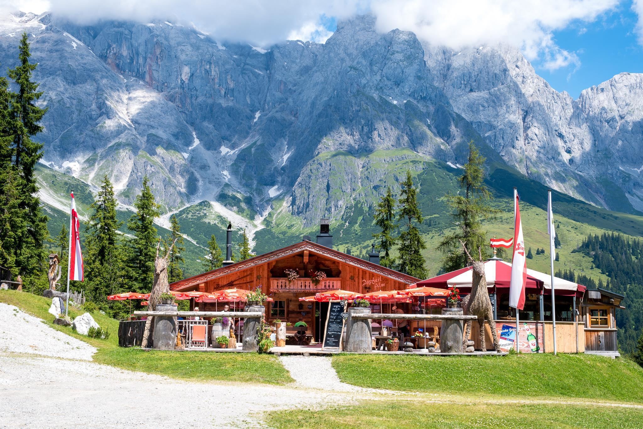
Zapferlalm 1.296 m
An alm at 1,296 m above Mühlbach am Hochkönig, serving Austrian dishes with vegan options to walkers on the mid-mountain paths.
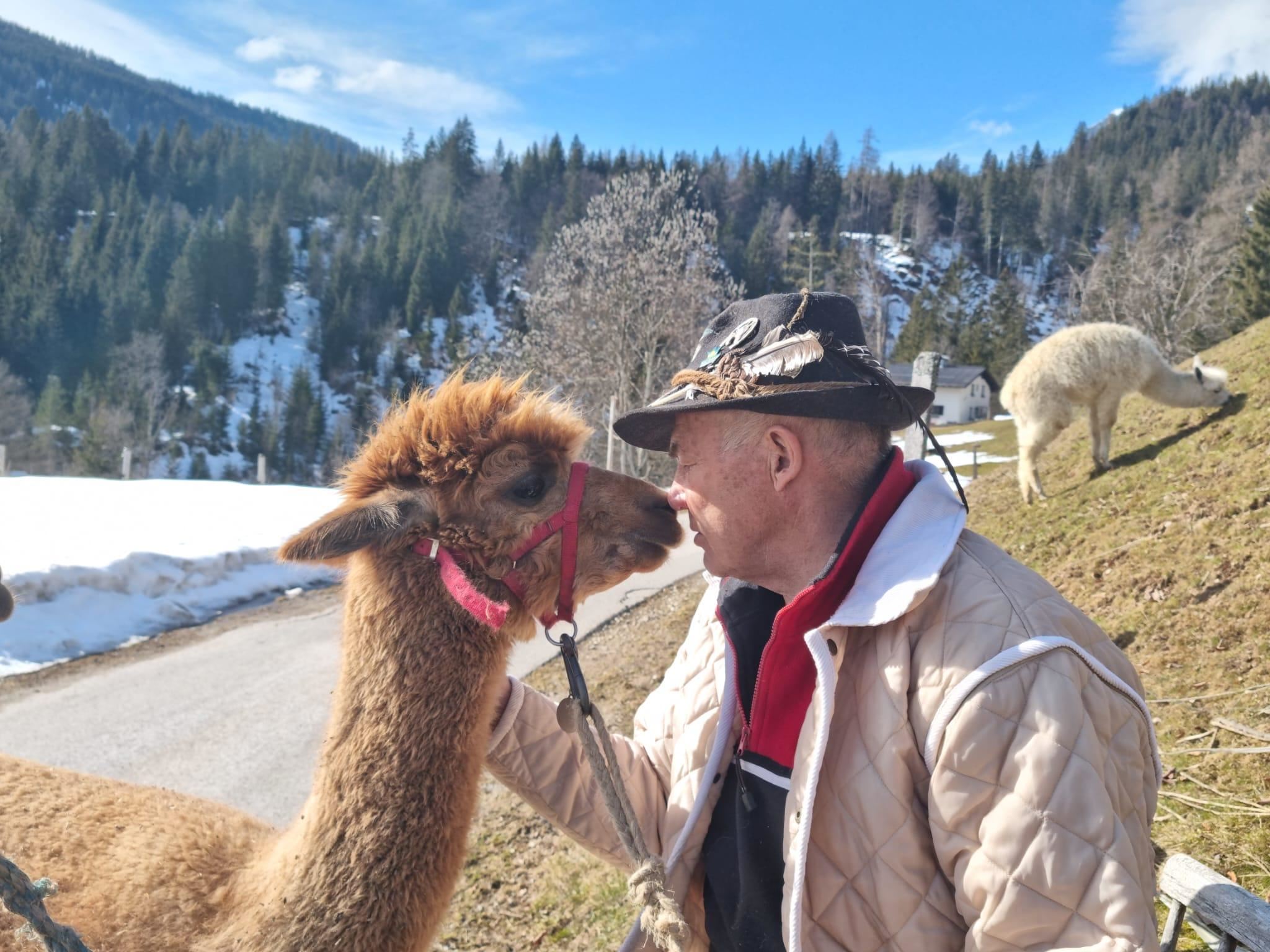
Alpakawandern am Kinderbauernhof Kniegut
Guided alpaca walks from the Kniegut children's farm at Mühlbach am Hochkönig, 860 m, an easy family activity on the surrounding paths.
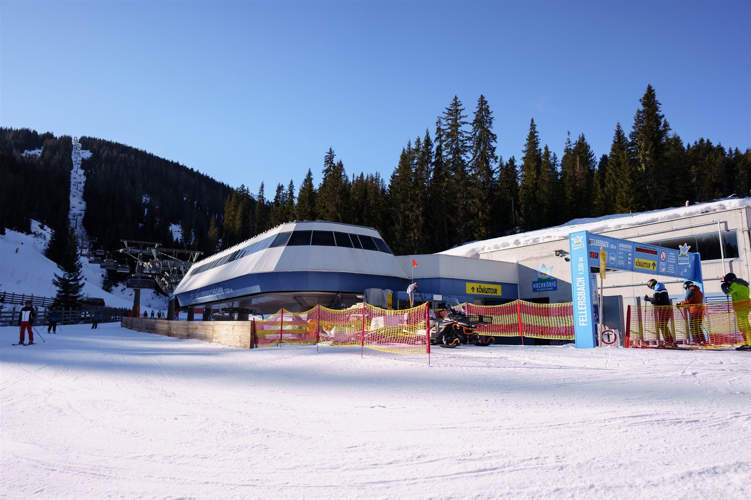
Fellersbachbahn 6er Sesselbahn
A six-seat chairlift in the Fellersbach area of Mühlbach am Hochkönig, feeding the slopes on the village's side of the ski region.
Geocaching Mühlbach
A GPS treasure hunt around Mühlbach am Hochkönig, with caches hidden along village and mountain paths for families to track down.
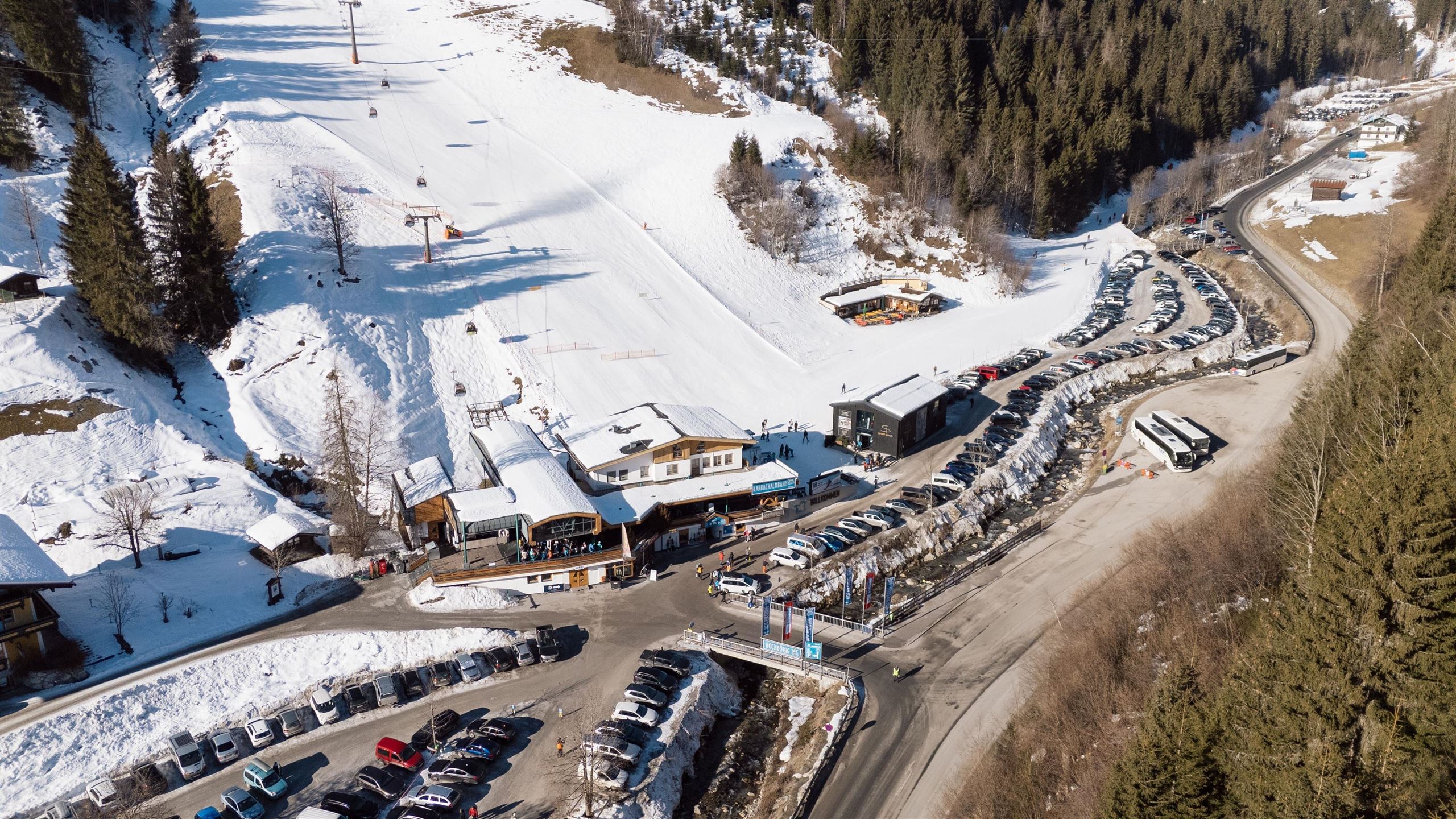
Karbachalmbahn 6er Kabinenbahn
A six-person gondola onto the Karbachalm above Mühlbach am Hochkönig, used for skiing in winter and reaching walking country in summer.
Nothing of this kind in Mühlbach am Hochkönig.
Routes
50 routes, an even mix of activities · see the rest on hochkoenig.at ↗
Königsjodler Klettersteig – Hochkönig
One of the longest cabled routes in Salzburg: 1,650 m of ascent from the Erichhütte over the Grandlspitz and Kematstein by the Hohe Scharte on the Hochkönig ridge.
- 5.2 km
- Distance
- 1 560 m
- Ascent
- 6 h 41 min
- Duration
- 29
- Check-ins
Klettersteig Grandlspitz
Short but hard ferrata above the Erichhütte, mostly graded B/C with a few C/D moves, topping out at 2,310 m near the Taghaubenscharte.
- 8.0 km
- Distance
- 933 m
- Ascent
- 7 h 2 min
- Duration
- 22
- Check-ins
Bike & Hike Bürglalmbahn-Ahornstein TEIL WANDERN
Walking half of a bike-and-hike day, from the Bürglalm lift over the Wastlhöhe and Kollmannsegg to the Ahornstein, with 214 m of ascent.
- 5.0 km
- Distance
- 247 m
- Ascent
- 1 h 49 min
- Duration
- 40
- Check-ins
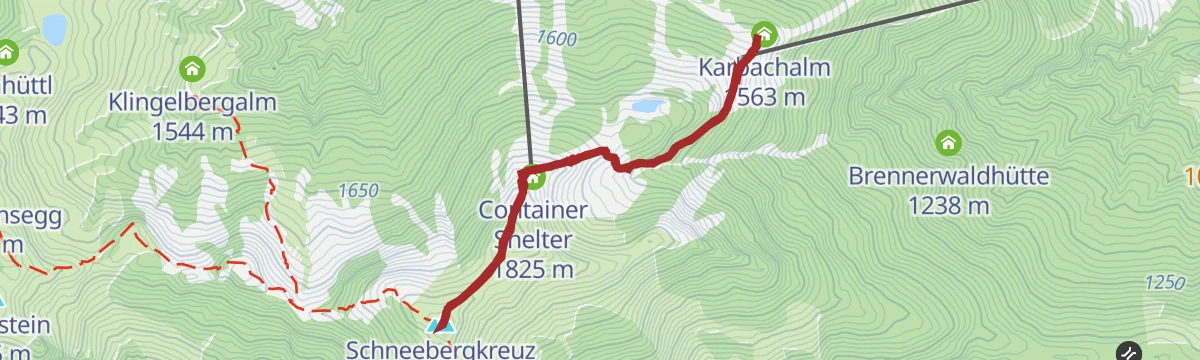
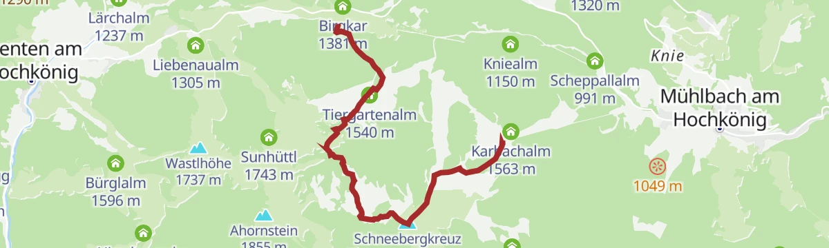
Hochkönig Hüttenhüpfer Tour 3. Etappe
Closing stage of the hut-hopping round, through alms and woodland to the cross on the Schneeberg, with the Karbachalm lift as an alternative to walking down.
- 11.9 km
- Distance
- 585 m
- Ascent
- 5 h 28 min
- Duration
- 69
- Check-ins
Der Weg der vielen Schritte - Pilgerwandern am Hochkönig
Pilgrim route of nearly 30 km below the Hochkönig, over the Natrun and past the Erichhütte and Jufenalm, meant to be walked step by deliberate step.
- 29.8 km
- Distance
- 1 377 m
- Ascent
- 10 h 31 min
- Duration
- 100
- Check-ins
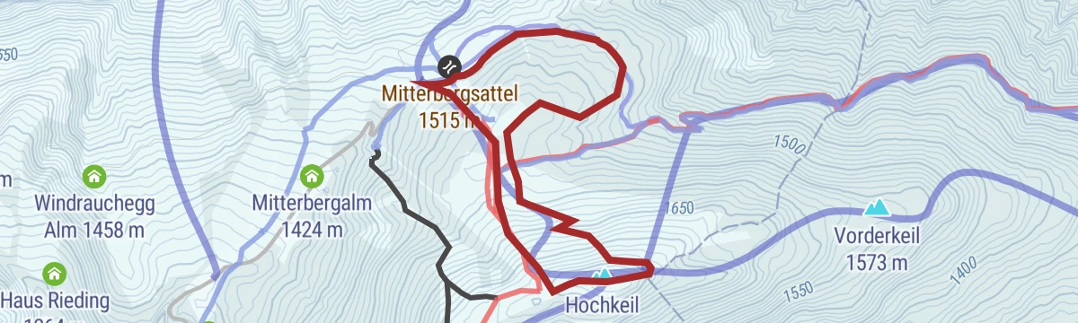
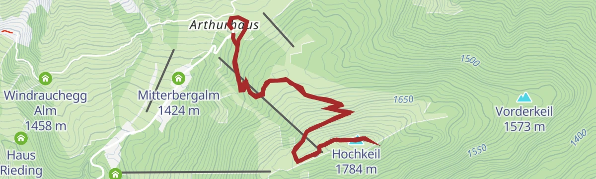
Skitourenlehrpfad Hochkeil
Signed teaching route for ski tourers on the Hochkeil above Mühlbach, 280 m of climbing for beginners and anyone returning to the sport.
- 4.5 km
- Distance
- 264 m
- Ascent
- 264 m
- Descent
- 1 h 26 min
- Duration
- 23
- Check-ins
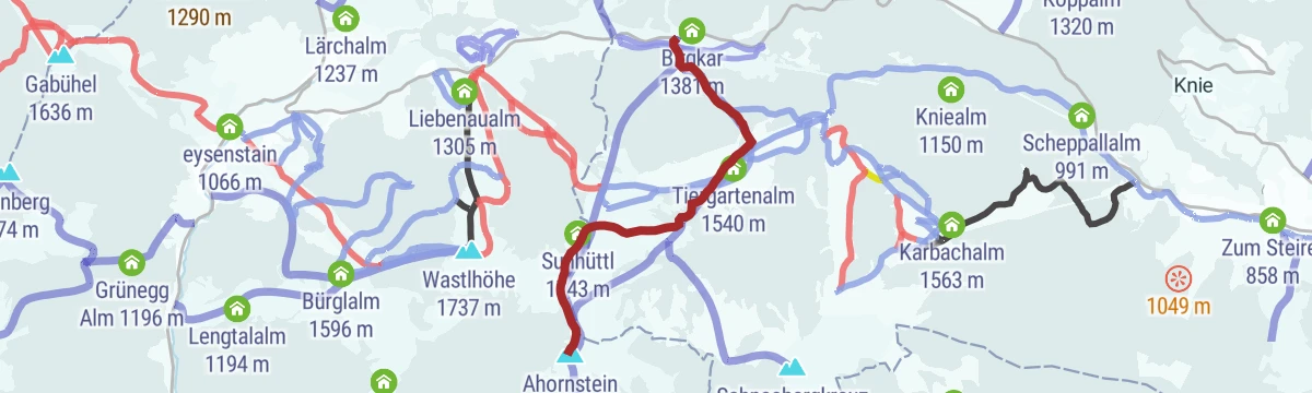
Skitour zum Ahornstein
Ski tour above Dienten over the Kollmannsegg to the Ahornstein, 530 m of ascent with the Dientalm and Tiergartenalm nearby.
- 7.3 km
- Distance
- 493 m
- Ascent
- 493 m
- Descent
- 2 h 25 min
- Duration
- 36
- Check-ins
e-Bike Tour - Toni's Family Bike Trail (Tour 7)
An almost level trail at the foot of the Karbachalm lift in Mühlbach am Hochkönig, with barely any climbing across its 6 km.
- 6.4 km
- Distance
- 10 m
- Ascent
- 49 min
- Duration
- 16
- Check-ins
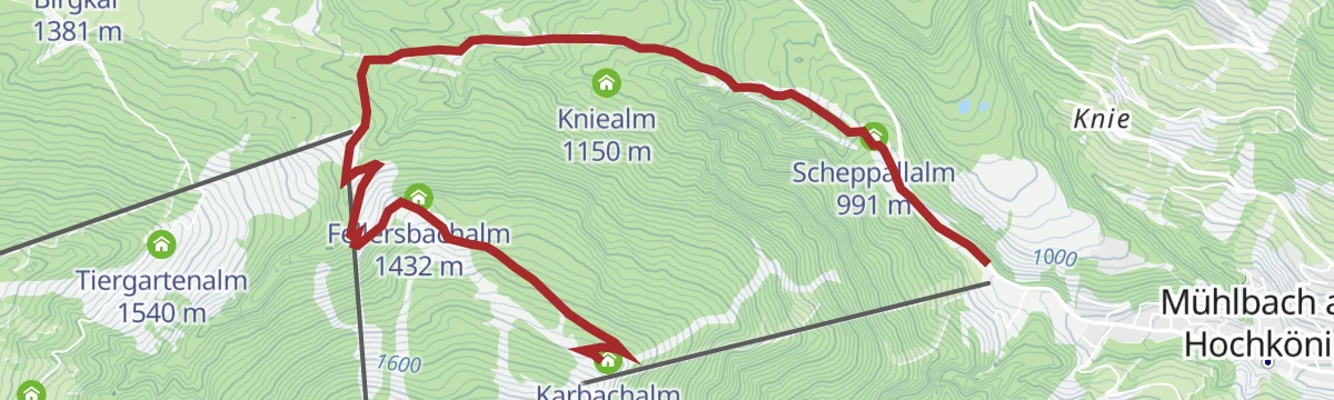
Bike & Hike Karbachalm - Schneeberg TEIL BIKE
The ride in to the walk up the Schneeberg, a forest-road climb from Mühlbach past the Fellersbachalm to the Karbachalm at 1,563 m.
- 12.0 km
- Distance
- 638 m
- Ascent
- 1 h 44 min
- Duration
- 21
- Check-ins
Königstour Bike LIGHT gesamt
A very long day linking the alms of the Hochkönig area, among them the Karbachalm, Bürglalm and Tiergartenalm, with well over 3,000 m of climbing.
- 77.4 km
- Distance
- 3 609 m
- Ascent
- 10 h 17 min
- Duration
- 152
- Check-ins
Königsstrecke mit Genuss in Dienten - AHORNSTEIN
Short panorama walk in Dienten over the Wastlhöhe and Kollmannsegg to the Ahornstein, with 225 m of ascent.
- 5.2 km
- Distance
- 282 m
- Ascent
- 2 h 1 min
- Duration
- 40
- Check-ins
Ach du grüne Neune - Schwarzbeerrunde
Round over the Schneeberg calling at two herb alms, the Dientalm and the Tiergartenalm, with 361 m of ascent over 7 km.
- 7.0 km
- Distance
- 367 m
- Ascent
- 3 h 5 min
- Duration
- 53
- Check-ins
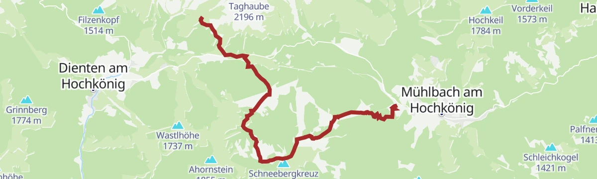
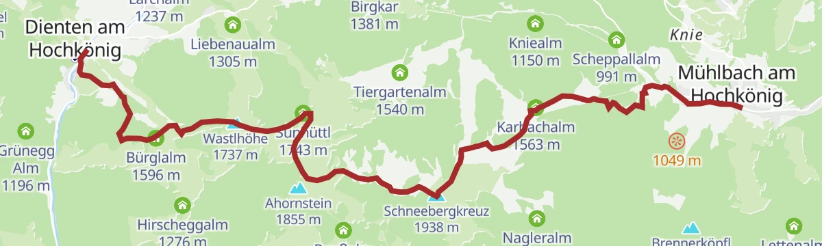
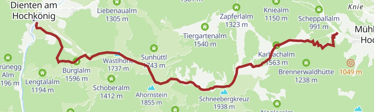
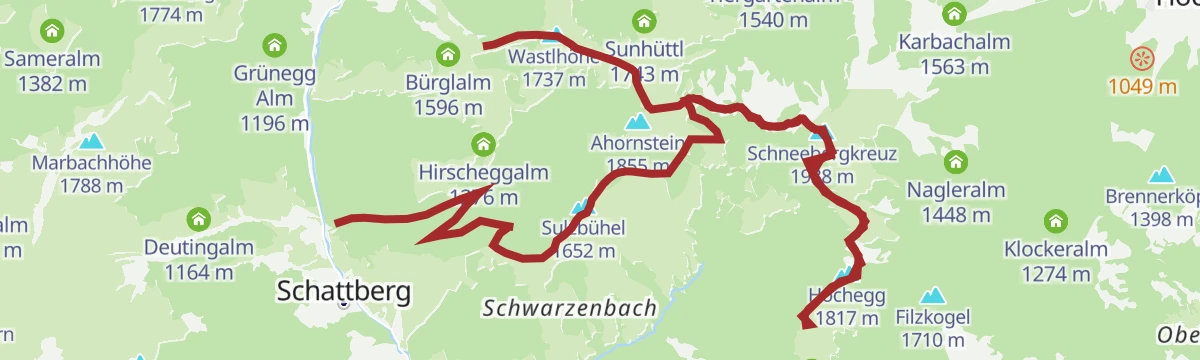
PINZGA HATSCHA Etappe 7 (von Mühlbach nach Dienten)
Seventh stage of the Pinzgau long-distance route, from Mühlbach over the Karbachalm, Schneeberg and Kollmannsegg to Dienten, with 1,227 m of climbing.
- 14.4 km
- Distance
- 1 247 m
- Ascent
- 7 h 31 min
- Duration
- 86
- Check-ins
Dämmerungstour Roßwies
Evening ski tour on a piste released for uphill traffic, 300 m of climbing on the Hochkeil past the Spiegelsee.
- 1.5 km
- Distance
- 297 m
- Ascent
- 0 m
- Descent
- 49 min
- Duration
- 20
- Check-ins
 Hochkeil 1 784 m
 Spiegelsee am Hochkeil 1 725 m
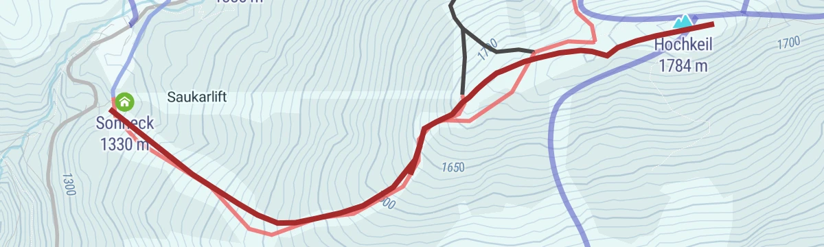
Dämmerungstour Saukar
Dusk tour up a groomed run opened to ski tourers, 456 m of climbing towards the Hochkeil by the Spiegelsee and the Sonneck.
- 2.3 km
- Distance
- 465 m
- Ascent
- 11 m
- Descent
- 1 h 17 min
- Duration
- 20
- Check-ins
- Hochkeil 1 784 m
- Spiegelsee am Hochkeil 1 725 m
 Sonneck 1 330 m
MTB Tour - Logenplatz Hochkeil & Spiegelsee (Tour 8)
An easy forest-road outing on the Hochkeil above Mühlbach am Hochkönig, reaching the Spiegelsee at 1,725 m before turning back.
- 6.5 km
- Distance
- 273 m
- Ascent
- 50 min
- Duration
- Spiegelsee am Hochkeil 1 725 m
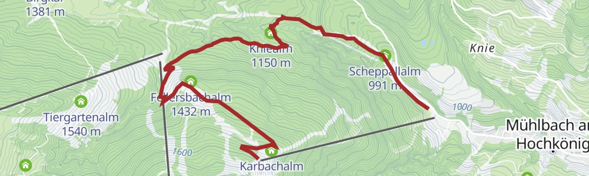
MTB Tour - Karbachalm Tour (Tour 7)
A short, steep climb from the Karbachalm valley station up past the Kniealm to the hut itself, gaining almost 700 m in barely 6 km.
- 6.0 km
- Distance
- 639 m
- Ascent
- 1 h 1 min
- Duration
- 16
- Check-ins
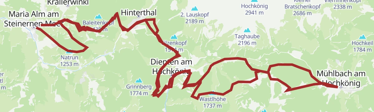
MTB - Panoramatour Region Hochkönig
A long forest-road traverse from the alms above Maria Alm, over the Wastlhöhe and by the Mittereggalm and Zachhof Alm, down to Bischofshofen at 550 m.
- 48.3 km
- Distance
- 1 940 m
- Ascent
- 6 h 12 min
- Duration
- 78
- Check-ins
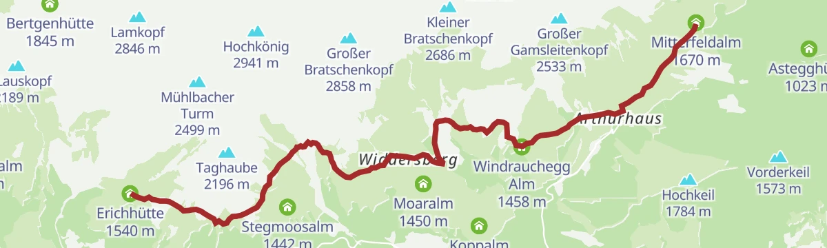
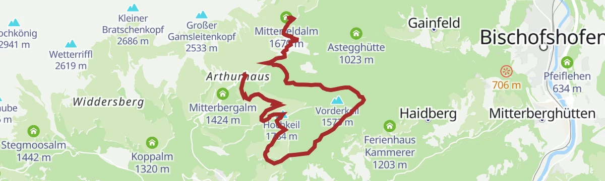
Rundweg Arthurhaus - Mitterfeldalm
Easy round from the Arthurhaus to the Mitterfeldalm and back over the Stegalm, with the Schweizerhütte dairy and the Mitterbergsattel on the way.
- 4.9 km
- Distance
- 270 m
- Ascent
- 1 h 55 min
- Duration
- 30
- Check-ins
Hochkönig Hüttenhüpfer Tour 2. Etappe
The second day of the hut-hopping route below the Hochkönig, leading from the Mitterfeldalm through the Riedingtal past a waterfall to the Erichhütte.
- 11.5 km
- Distance
- 215 m
- Ascent
- 3 h 20 min
- Duration
- 53
- Check-ins
Der Königsweg 3. Etappe (Mühlbach - Dienten)
Third stage of the Königsweg, a stiff 1,129 m over the Bürglalm, Schneeberg and Kollmannsegg from Mühlbach down to Dienten.
- 12.2 km
- Distance
- 1 132 m
- Ascent
- 6 h 49 min
- Duration
- 68
- Check-ins
Aufstiegsspur Scheppal Alm - Kings Cab
Prepared and signed uphill track from the Scheppalalm to the top station of the Kings Cab gondola; a fee is charged for using it.
- 11.5 km
- Distance
- 741 m
- Ascent
- 734 m
- Descent
- 3 h 47 min
- Duration
- 17
- Check-ins
e-Bike Tour - Gasthaus Paussbauer (Tour 6)
A short e-bike outing from the centre of Mühlbach am Hochkönig, climbing gently on forest roads to the guesthouse above the village.
- 5.9 km
- Distance
- 240 m
- Ascent
- 45 min
- Duration
Bike & Hike Arthurhaus - Hochkeil TEIL BIKE
The cycling half of a bike-and-hike day, climbing forest roads out of Mühlbach am Hochkönig past the Sonneck to the huts near 1,400 m.
- 14.2 km
- Distance
- 653 m
- Ascent
- 1 h 53 min
- Duration
- 1
- Check-ins
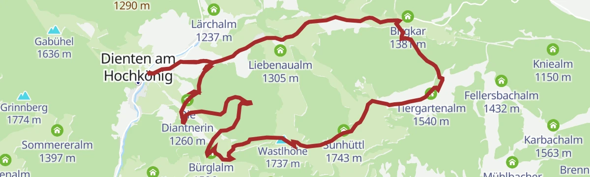
MTB Tour - Bürglalm Runde (Tour 4)
A forest-road loop up to the Wastlhöhe, linking the Tiergartenalm, the Dientalm and the Sunhüttl high above the Dienten valley.
- 15.5 km
- Distance
- 727 m
- Ascent
- 2 h 4 min
- Duration
- 53
- Check-ins
Panoramawanderung zum Hochkeil
Short, moderate climb to the Hochkeil above Mühlbach, 283 m of ascent, with the Schweizerhütte dairy on the way.
- 6.1 km
- Distance
- 279 m
- Ascent
- 2 h 7 min
- Duration
- 28
- Check-ins
Bike & Hike Karbachalm - Schneeberg TEIL WANDERN
The walking half of a bike-and-hike day, leaving the Karbachalm for the 1,921 m Schneeberg with 371 m of ascent.
- 4.6 km
- Distance
- 383 m
- Ascent
- 2 h 26 min
- Duration
- 50
- Check-ins
Gipfeltour Hochkönig - Hauptanstieg
The standard ascent of the Hochkönig, 1,580 m from the Mitterfeldalm to the Matrashaus on the summit — a long day that asks for stamina.
- 17.7 km
- Distance
- 1 646 m
- Ascent
- 10 h 14 min
- Duration
- 66
- Check-ins
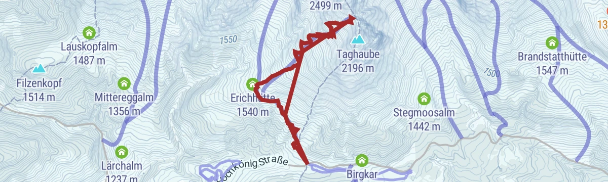
Skitour Taghaube (Taghaubenscharte)
Ski tour to the Taghaubenscharte, 800 m of climbing that steepens above the Erichhütte, with the upper slopes held in shade.
- 6.6 km
- Distance
- 796 m
- Ascent
- 789 m
- Descent
- 2 h 53 min
- Duration
- 17
- Check-ins
e-Bike Tour - große Bürglalmrunde über's Sunnhüttl
The bigger e-bike round above Dienten, climbing to the Sunhüttl at 1,743 m by way of the Dientalm and the Tiergartenalm.
- 16.7 km
- Distance
- 736 m
- Ascent
- 2 h 10 min
- Duration
- 53
- Check-ins
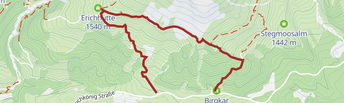
Almwanderung zur Erichhütte
Easy alm walk from the Dientner Sattel to the Erichhütte below the Birgkar, with 249 m of ascent.
- 4.0 km
- Distance
- 242 m
- Ascent
- 1 h 36 min
- Duration
- 20
- Check-ins
Schneeberg Genusstour
Ridge walk from the Karbachalm over the Schneeberg to the Dientner Sattel, with the Tiergartenalm, Klingelbergalm and Dientalm to call at.
- 6.8 km
- Distance
- 345 m
- Ascent
- 2 h 58 min
- Duration
- 50
- Check-ins
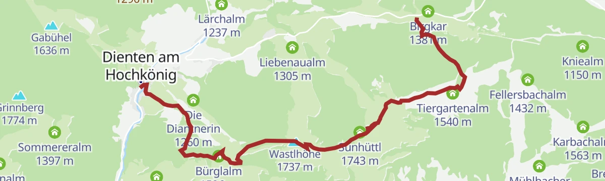
Salzburger Almenweg - Etappe 03: Dienten - Böndlsee
Third Almenweg stage, a 1,160 m day over the Wastlhöhe, Schneeberg and Kollmannsegg from Dienten to the Böndlsee, with the Bürglalm early on.
- 19.0 km
- Distance
- 1 160 m
- Ascent
- 8 h 24 min
- Duration
- 62
- Check-ins
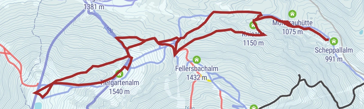
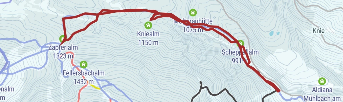
Dämmerungstour Zapferlalm
Dusk ski tour on runs released for uphill traffic, 402 m of climbing by the Kniealm and Scheppalalm to the Zapferlalm.
- 7.0 km
- Distance
- 394 m
- Ascent
- 394 m
- Descent
- 2 h 14 min
- Duration
- 6
- Check-ins
Am Fuße des Hochkönigs
A long day round the foot of the Hochkönig from Wagrain, by the Übergossene Alm and the Mittereggalm.
- 74.8 km
- Distance
- 1 720 m
- Ascent
- 8 h 16 min
- Duration
- 14
- Check-ins
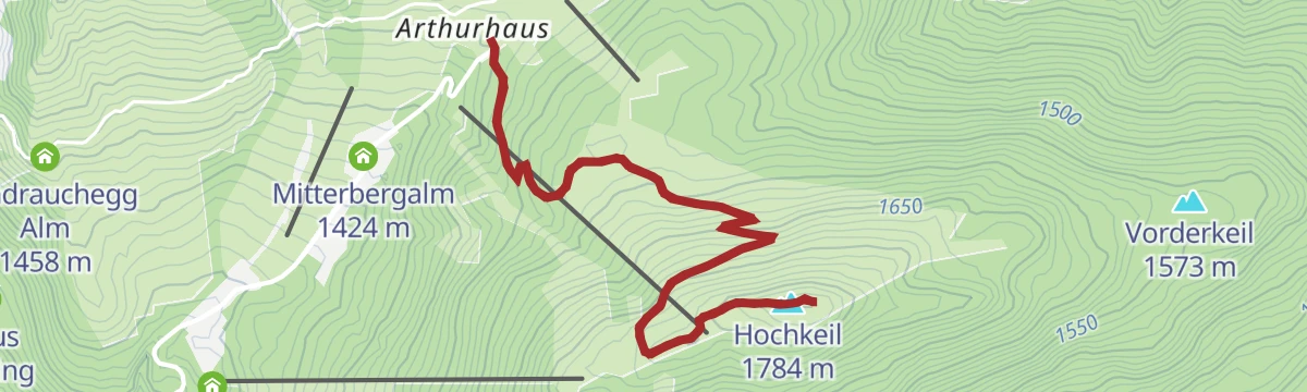
Bike & Hike Arthurhaus-Hochkeil TEIL WANDERN
The walking half of a bike-and-hike day: after the ride up to the Arthurhaus, 290 m on foot to the Hochkeil.
- 5.7 km
- Distance
- 276 m
- Ascent
- 2 h 2 min
- Duration
- 20
- Check-ins
Almwanderung vom Dientner Sattel ins Dorf Dienten
Alm walk over grassy tops around 1,740 m from the Dientner Sattel down into Dienten, facing the Hochkönig, with the Bürglalm and Dientalm en route.
- 8.5 km
- Distance
- 432 m
- Ascent
- 3 h 43 min
- Duration
- 44
- Check-ins
Gipfelstürmer Gamskögerl
Long day over the Schneeberg and Kollmannsegg to the Gamskögerl, 20 km with the Huberalm and Moaralm on the route.
- 20.3 km
- Distance
- 935 m
- Ascent
- 8 h 19 min
- Duration
- 48
- Check-ins
Skitour zum Kopphüttenfirst
Ski tour of 583 m to the Kopphüttenfirst, passing the Molteraualm and Kopphütte on runs kept open for uphill traffic.
- 5.6 km
- Distance
- 583 m
- Ascent
- 576 m
- Descent
- 2 h 12 min
- Duration
- 6
- Check-ins
MTB Tour - Bischofshofen-Arthurhaus Runde (Tour 4)
A long forest-road circuit from Bischofshofen up over the Mitterbergsattel, passing the Mitterbergalm before the drop back to Mühlbach am Hochkönig.
- 35.1 km
- Distance
- 995 m
- Ascent
- 4 h 3 min
- Duration
- 6
- Check-ins
Spannende Wanderung zur Karbachalm
Easy walk in the Schneeberg area above Mühlbach, from the Dientner Sattel past the Tiergartenalm and Dientalm to the Karbachalm.
- 5.4 km
- Distance
- 326 m
- Ascent
- 2 h 1 min
- Duration
- 17
- Check-ins
Hochkönig Hüttenhüpfer Tour 1. Etappe
First stage of a hut-to-hut round: from the Arthurhaus to the Hochkeil summit by the Spiegelsee, then down to the Mitterfeldalm facing the Hochkönig massif.
- 12.0 km
- Distance
- 656 m
- Ascent
- 4 h 23 min
- Duration
- 39
- Check-ins
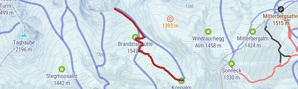
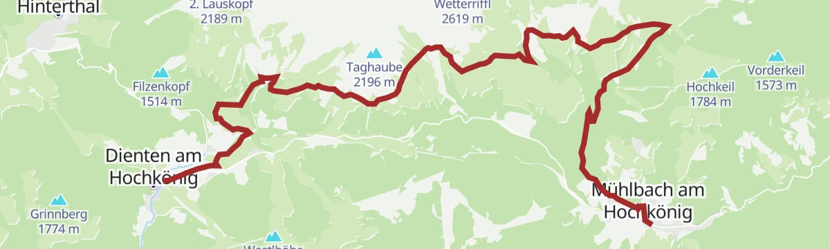
PINZGA HATSCHA Etappe 6 (von Dienten nach Mühlbach)
Sixth stage of the Pinzgau route, 21 km from Dienten below the Hochkönig by the Erichhütte, Windraucheggalm and Brandstatthütte to Mühlbach.
- 21.5 km
- Distance
- 701 m
- Ascent
- 6 h 58 min
- Duration
- 38
- Check-ins
Skitourenweg vom Dientner Sattel zur Kings Cab
Marked skinning route through the ski area from the Dientner Sattel to the Kings Cab, 400 m of climbing past the Dientalm.
- 5.4 km
- Distance
- 400 m
- Ascent
- 398 m
- Descent
- 1 h 50 min
- Duration
- 5
- Check-ins
e-Bike Tour - Bischofshofen-Arthurhaus Runde (Tour 4)
An e-bike circuit rising from Bischofshofen in the Salzach valley to the Mitterbergalm and the Mitterbergsattel above it.
- 35.0 km
- Distance
- 1 198 m
- Ascent
- 4 h 14 min
- Duration
- 6
- Check-ins
Von der Karbachalm zur Dientalm
Gentle walk from the top of the Karbachalm gondola past Toni's playground to the petting animals at the Dientalm, with 121 m of ascent.
- 5.6 km
- Distance
- 113 m
- Ascent
- 1 h 49 min
- Duration
- 14
- Check-ins
Hüttenhüpfer 2 Etappe - Variante Berggasthof Mittereggalm
A variant of the second hut-hopping day that takes in the Mittereggalm, running from the Mitterfeldalm through the Riedingtal past a waterfall.
- 11.1 km
- Distance
- 215 m
- Ascent
- 3 h 24 min
- Duration
- 39
- Check-ins
Via Alpina 2. Etappe
Second Via Alpina stage along the Hochkönig panorama path, from the Erichhütte past the Windraucheggalm, Brandstatthütte and Molteraualm.
- 15.7 km
- Distance
- 269 m
- Ascent
- 4 h 45 min
- Duration
- 35
- Check-ins
Skitour Vierrinnenköpfe
Sunny ski tour at the foot of the Mandlwände, 600 m of climbing that finishes up a steep, narrow gully.
- 3.8 km
- Distance
- 589 m
- Ascent
- 582 m
- Descent
- 1 h 60 min
- Duration
- 3
- Check-ins
MTB Tour - Große St. Veit-Runde (Tour 2)
A demanding forest-road loop from Mühlbach am Hochkönig over the Althaussattel, taking in the Pronebenalm, Peter's Ferienalm and the Althausalm.
- 30.2 km
- Distance
- 1 216 m
- Ascent
- 3 h 50 min
- Duration
- 5
- Check-ins
No routes of this kind in Mühlbach am Hochkönig yet.
The region's own picks
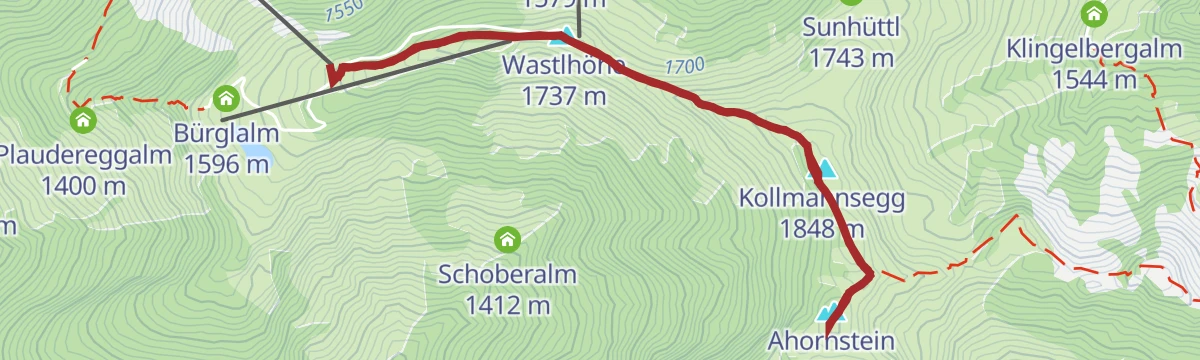
Featured route
Bike & Hike Bürglalmbahn-Ahornstein TEIL WANDERN
Walking half of a bike-and-hike day, from the Bürglalm lift over the Wastlhöhe and Kollmannsegg to the Ahornstein, with 214 m of ascent.
Planning a trip to Mühlbach am Hochkönig?
Everything else Salzburg (state) has, in one place


Take Mühlbach am Hochkönig with you into the mountains
Every route on this page with 3D terrain, GPX navigation and offline maps — including the valleys with no signal.
Data sources
- Official website: hochkoenig.at ↗
- Routes and highlights: Hochkönig Tourismus, Wagrain-Kleinarl Tourismus
- Published as open data by the tourist boards named above.
- Region summary generated from the board's own material.
