















Curated by Partschins - Rabland - Töll
Moso in Passiria/Moos in Passeier
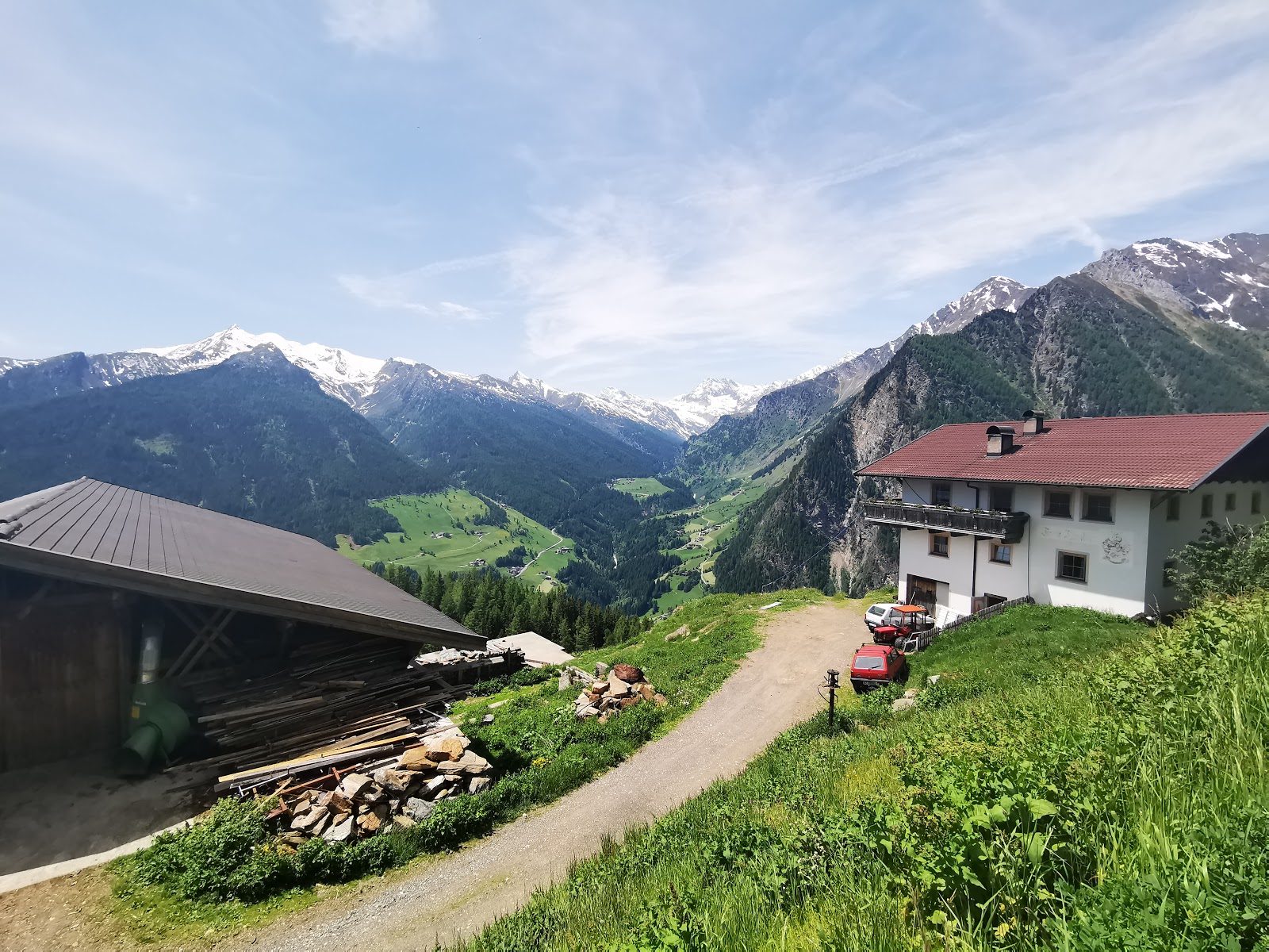
The head of the Val Passiria below the Rombo pass, with the Stieber waterfall and the Texel group park.
- 8Highlights
- 56Routes
- Featured summit · Becher - Bicchiere
Highlights
7 from neighbouring places
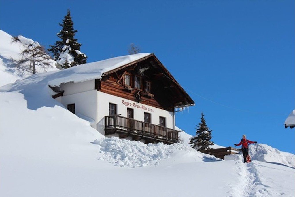
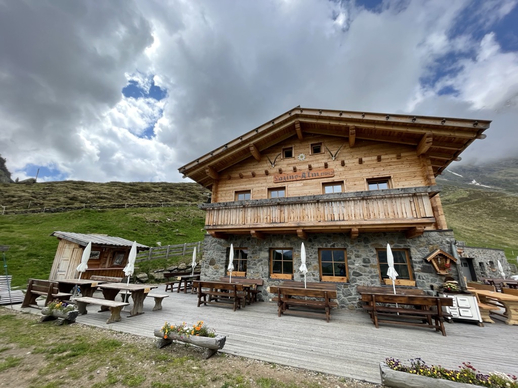
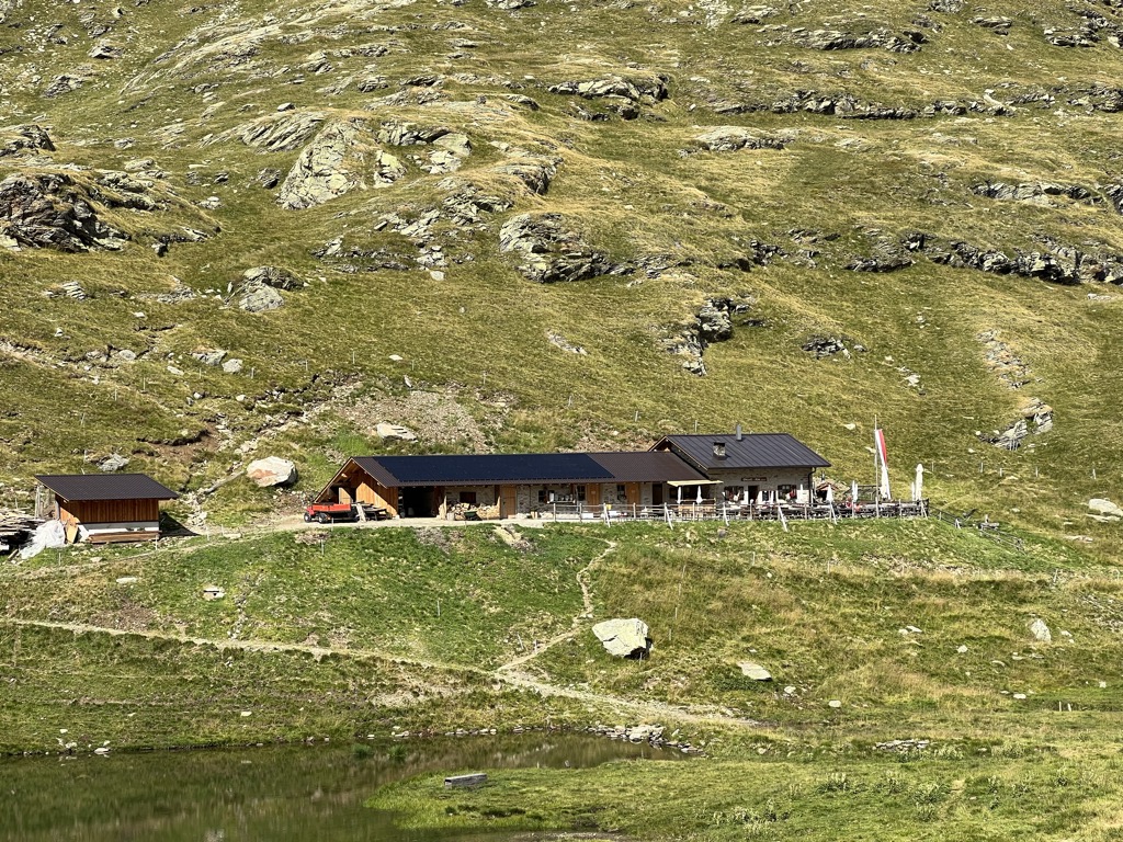
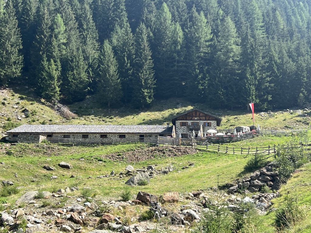
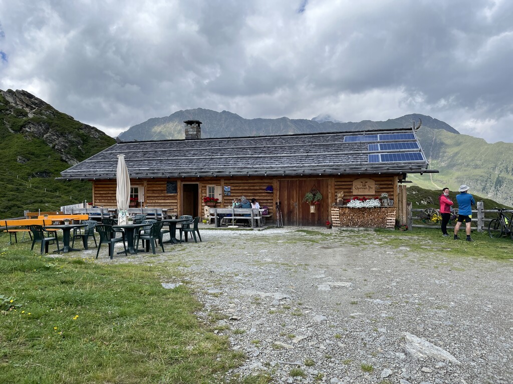
Malga Egger-Grub-Alm
A dairy hut on the pastures above Moso in Passiria, on the eastern flank of the upper Passeier valley.
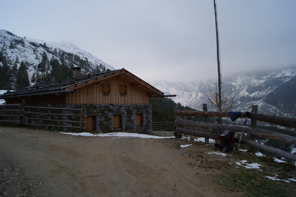
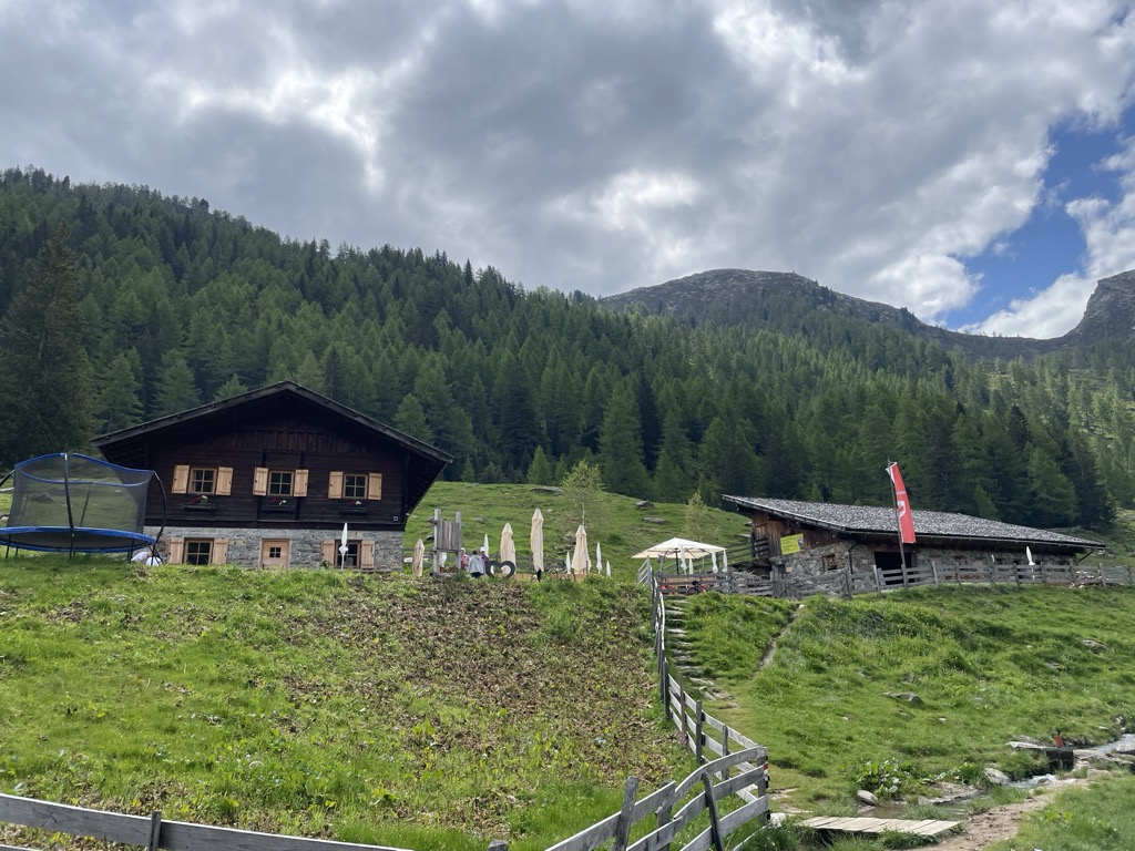
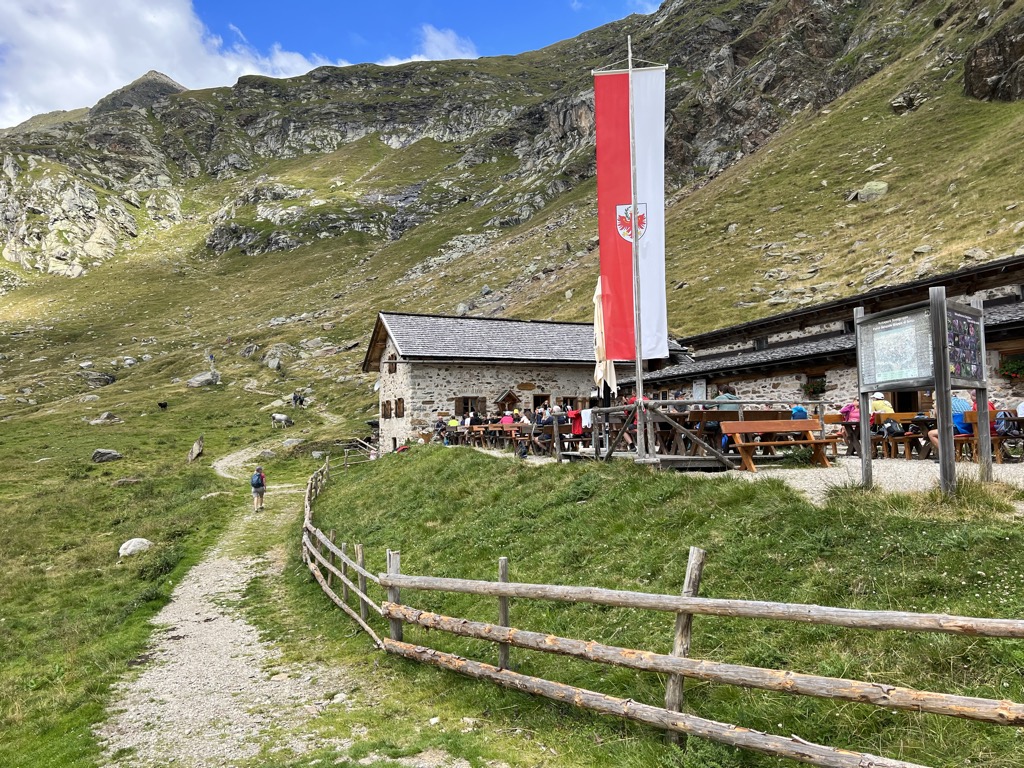
Sterzing, Pfitsch und FreienfeldMalga Faltschnal Alm
A dairy hut on the Faltschnal pastures in the Pfelderer Tal, in the comune of Moso in Passiria, on the path up from Plan.
Sterzing, Pfitsch und FreienfeldMalga Farmazon Alm
A dairy hut on the Farmazon pastures of the Pfelderer Tal, above Plan in the comune of Moso in Passiria.
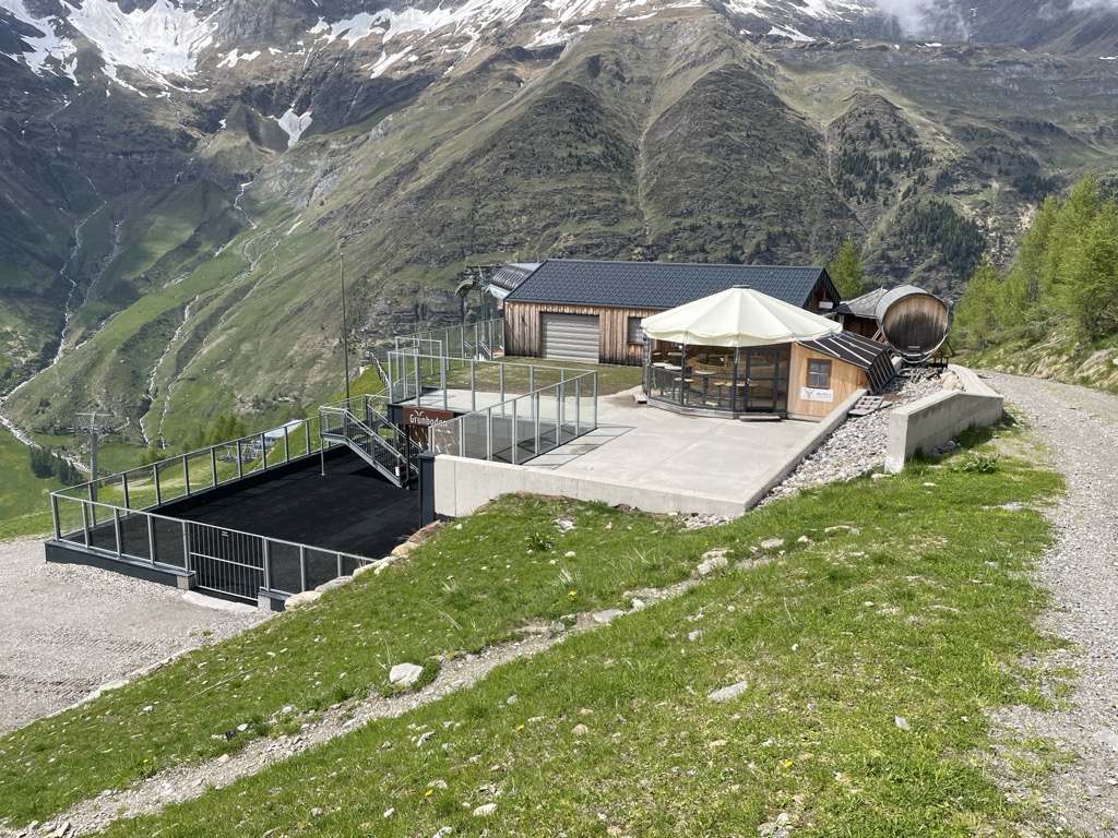
Sterzing, Pfitsch und FreienfeldMalga Grünbodenhütte
A hut on the Grünboden pastures above Plan, in the Pfelderer Tal of the upper Passeier, in the comune of Moso in Passiria.
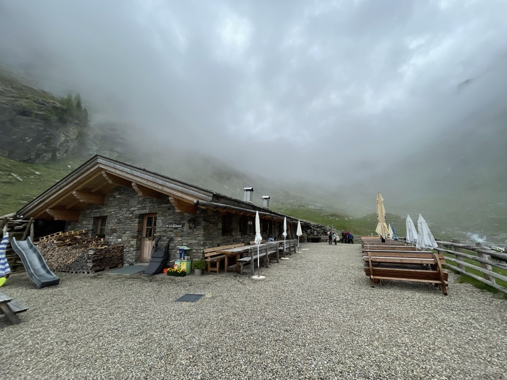
Sterzing, Pfitsch und FreienfeldMalga Lazins Alm
A dairy hut at the head of the Pfelderer Tal above Plan, where the paths toward the Lazinser Rötelspitze and the Eisjöchl divide.
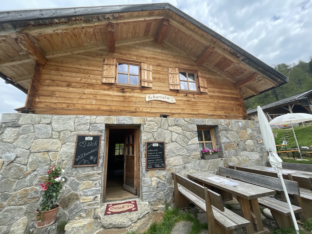
Sterzing, Pfitsch und FreienfeldMalga Schartalm
A dairy hut on the Schart pastures of the Pfelderer Tal, above Plan in the comune of Moso in Passiria.
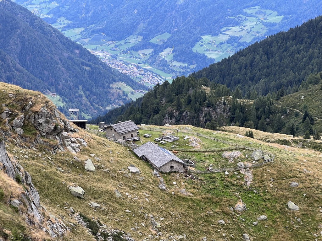
Sterzing, Pfitsch und FreienfeldMalga Ulfaseralm
A dairy hut on the pastures above the hamlet of Ulfas, high on the western side of the Passeier valley in the comune of Moso in Passiria.
Sterzing, Pfitsch und FreienfeldMalga Faglsalm
9.3 km away, in Rifiano/Riffian
A dairy hut on the pastures above Rifiano, at the mouth of the Val Passiria north of Merano.
Sterzing, Pfitsch und FreienfeldMalga Obisell Alm
10.1 km away, in Rifiano/Riffian
A dairy hut on the grazing slopes above Rifiano, below the Hirzer ridge on the east side of the Val Passiria.
Sterzing, Pfitsch und FreienfeldMalga Oberkaser
11.6 km away, in Tirolo/Tirol
A dairy hut on the pastures above Tirolo, at the southern edge of the Gruppo di Tessa nature park north of Merano.
Sterzing, Pfitsch und FreienfeldMalga Valtiglalm
11.8 km away, in Racines/Ratschings
A dairy hut on the Valtigl pastures above Racines, in the Stubai Alps.
Sterzing, Pfitsch und FreienfeldMalga Martalm
11.9 km away, in Racines/Ratschings
A pasture hut on the slopes above the Val Ridanna, in the comune of Racines.
Sterzing, Pfitsch und FreienfeldMalga Prantacher Alm - Fartleis
12 km away, in San Leonardo in Passiria/St. Leonhard in Passeier
A dairy hut on the Fartleis pastures above San Leonardo in Passiria, in the upper Val Passiria.
Sterzing, Pfitsch und FreienfeldMalga Obere Gewingesalm
12.4 km away, in Racines/Ratschings
The upper of two dairy huts on the Gewinges pastures above Racines, in the mountains of the Ratschings valley.
Sterzing, Pfitsch und Freienfeld
Nothing of this kind in Moso in Passiria/Moos in Passeier.
Routes
50 routes, an even mix of activities · see the rest on merano-suedtirol.it ↗
Ferrata "Stuller Wasserfall"
A ferrata of medium grade beside the Stuller falls, 342 metres in two drops and among the highest in Europe, with a hard central variant that can be bypassed.
- 5.6 km
- Distance
- 453 m
- Ascent
- 3 h 44 min
- Duration
- 1
- Check-ins
Open route Partschins - Rabland - TöllSentiero panoramico e labirinto di pietra a Plan
A balcony path above Plan in the upper Passiria, through alpine meadow to a maze laid out in stone.
- 6.9 km
- Distance
- 77 m
- Ascent
- 2 h 10 min
- Duration
- 87
- Check-ins
 Das Lisann 1 636 m
- Rosmarie 1 631 m
- Sport Bar 1 629 m
- Faltschnal-Alm 1 871 m
- Tourismusverein Passeiertal - Infobüro Pfelders 1 626 m
- Grünboden Hütte 2 020 m
- +4
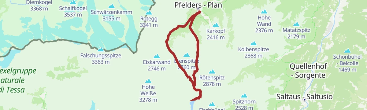
Open route Partschins - Rabland - TöllEscursione al lago Erensee
A walk from Plan in the Passeier valley to the lonely Erensee tarn, with the Faltschnal, Lazins and Zeppichl huts along the way.
- 9.8 km
- Distance
- 671 m
- Ascent
- 4 h 29 min
- Duration
- 64
- Check-ins
- Rosmarie 1 631 m
- Sport Bar 1 629 m
- Faltschnal-Alm 1 871 m
- Tourismusverein Passeiertal - Infobüro Pfelders 1 626 m
- Peterhof 1 683 m
- Pisten Pub 1 630 m
- +3
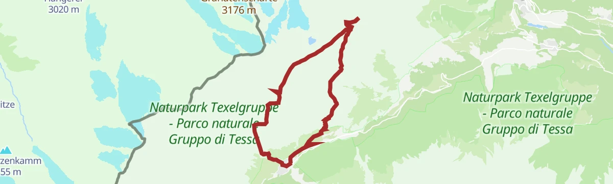
Open route Partschins - Rabland - TöllEscursione verso la Forcella di Sopranes
A circuit from the village of Tirol over the Sopranes pass, looking down on the lake plateau and the peaks of the Texel group.
- 16.7 km
- Distance
- 1 013 m
- Ascent
- 7 h 29 min
- Duration
- 194
- Check-ins
 Mutkopf 1 668 m
- Gasthaus Steinegg 1 443 m
- Gasthof Hochmuth 1 362 m
- Berggasthaus Mutkopf 1 684 m
- Das Lisann 1 636 m
- Schutzhütte Oberkaseralm 2 131 m
- +11
Open route Partschins - Rabland - TöllEscursione sci-alpinistica lago del Onore (2292 m)
A short winter ski tour to the Ehrensee at 2,292 metres above Plan, with the Lazinser Hof for a stop.
- 3.9 km
- Distance
- 674 m
- Ascent
- 0 m
- Descent
- 1 h 55 min
- Duration
- 38
- Check-ins
- Rosmarie 1 631 m
- Sport Bar 1 629 m
- Tourismusverein Passeiertal - Infobüro Pfelders 1 626 m
- Pisten Pub 1 630 m
 Erensee 2 292 m
- Kleiner Erensee 2 291 m
Open route Partschins - Rabland - TöllEscursione sci-alpinistica sul Monte Lavagna (2815 m)
A ski tour of moderate difficulty to the Schieferspitz at 2,815 metres above the Passeier valley, feasible right through the winter.
- 7.3 km
- Distance
- 1 194 m
- Ascent
- 17 m
- Descent
- 3 h 27 min
- Duration
- 57
- Check-ins
- Schieferspitz - Monte Lavagna 2 816 m
- Das Lisann 1 636 m
- Rosmarie 1 631 m
- Sport Bar 1 629 m
- Faltschnal-Alm 1 871 m
- Tourismusverein Passeiertal - Infobüro Pfelders 1 626 m
Open route Partschins - Rabland - TöllBicicletta da corsa - Tour del Passo Rombo
A road climb from San Leonardo in Passiria up the valley through Moos to the Timmelsjoch at 2,474 m, and the descent back.
- 58.6 km
- Distance
- 2 728 m
- Ascent
- 7 h 47 min
- Duration
- 62
- Check-ins
 Timmelsjoch - Passo Rombo 2 474 m
- Rasthaus Timmelsjoch 2 475 m
- Gasthaus Schönau - Zimmer + Bettenlager 1 718 m
- Gasthof Hochfirst 1 821 m
- Gasthaus Alpenrose - Huli 728 m
- Elektrogenossenschaft Gomion 771 m
- +1
Open route Sterzing, Pfitsch und FreienfeldPasseggiata alla malga Lazins
An easy walk up the Pfelderer valley to the Lazins hut below the Hohe Wilde, a broad house with a sun terrace among grazing herds.
- 4.5 km
- Distance
- 253 m
- Ascent
- 1 h 27 min
- Duration
- 57
- Check-ins
- Lazinser Alm 1 860 m
- Lazinser Alm 1 855 m
- Tourismusverein Passeiertal - Infobüro Pfelders 1 626 m
- Peterhof 1 683 m
- Pisten Pub 1 630 m
- Zeppichl 1 685 m
- +1
Open route Partschins - Rabland - TöllAlta Via della Val Passiria
A high traverse from the last hairpin of the Passo Giovo road, with the Flecknerhuette, the Hochalm, the Egger-Grub-Alm and the Bockhuette for stops.
- 14.6 km
- Distance
- 526 m
- Ascent
- 5 h 32 min
- Duration
- 51
- Check-ins
- Glaitner Hochjoch - Monte Fumaiolo 2 389 m
- Egger-Grub Alm - Malga Egger-Grub 1 946 m
- Flecknerhütte 2 062 m
- Schutzhütte Hochalm - Rifugio Hochalm 2 174 m
- Glaitner Joch - Passo Monte Costa 2 249 m
- Neubauerngut 1 645 m
- +3
Open route Partschins - Rabland - TöllLaghi di Sopranes: Al cuore del Parco Naturale Gruppo di Tessa
Ten alpine lakes in glacier-scooped hollows among rounded knolls and erratic boulders, the highest lake plateau in South Tyrol, in the Texel group nature park.
- 15.0 km
- Distance
- 1 107 m
- Ascent
- 7 h 31 min
- Duration
- 149
- Check-ins
- Leiteralm - Malga Leiter 1 550 m
- Das Lisann 1 636 m
- Schutzhütte Oberkaseralm 2 131 m
- Rosmarie 1 631 m
- Taufenscharte - Giogo di Quaira 2 230 m
- Pfitscher Jöchl - Passo di Vizze 2 150 m
- +8
Open route Sterzing, Pfitsch und FreienfeldEscursione sci-alpinistica Monte Fumaiolo (2389 m)
A short winter ski tour to the Glaitner Hochjoch at 2,389 metres, starting near Stulls in the Passeier valley.
- 3.6 km
- Distance
- 807 m
- Ascent
- 0 m
- Descent
- 2 h 10 min
- Duration
- 9
- Check-ins
Open route Partschins - Rabland - TöllEscursione sci-alpinistica Passo Rombo – Banker Joch (2.833 m)
A ski tour off the Timmelsjoch road to the Bankerjoch summits at 2,833 metres, feasible all winter, with the Schönau inn near the start.
- 6.1 km
- Distance
- 1 038 m
- Ascent
- 0 m
- Descent
- 2 h 58 min
- Duration
- 46
- Check-ins
- Östl. Bankerjoch Spitz 2 831 m
- Westl. Bankerjoch Spitz 2 828 m
- Timmelsjoch - Passo Rombo 2 474 m
- Rasthaus Timmelsjoch 2 475 m
- Bankalm 1 773 m
Open route Partschins - Rabland - TöllEscursione invernale alla malga Ulfaseralm
A short, quiet winter walk up to the Ulfaser Alm above Ulfas, easy enough to push a pram along.
- 2.1 km
- Distance
- 89 m
- Ascent
- 37 min
- Duration
- 9
- Check-ins
Open route Partschins - Rabland - TöllEscursione alla Punta Matatz (2264 m)
An easy circuit from the Ulfas car park to the Matatzspitz at 2,264 metres, with the whole Passeier valley in view and a shaded return; huts at Schartalm and Ulfaser Alm.
- 3.8 km
- Distance
- 656 m
- Ascent
- 2 h 29 min
- Duration
- 23
- Check-ins
Open route Partschins - Rabland - TöllEscursione sull'Altissima (3482 m)
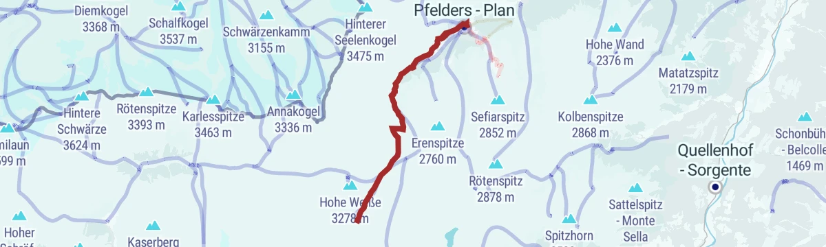
A demanding climb to the Hohe Wilde at 3,482 metres, the highest point of the Passeier valley, from Plan at the head of the Pfelderer valley.
- 23.4 km
- Distance
- 1 911 m
- Ascent
- 12 h 15 min
- Duration
- 110
- Check-ins
- Cima Altissima 3 482 m
- Stettiner Hütte - Rifugio Petrarca 2 875 m
- Lazinser Alm 1 860 m
- Das Lisann 1 636 m
- Rosmarie 1 631 m
- Sport Bar 1 629 m
- +3
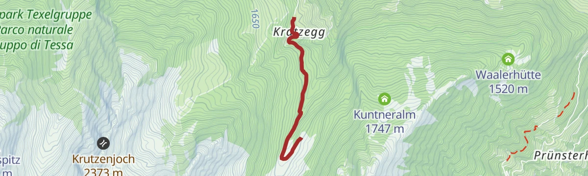
Open route Partschins - Rabland - TöllEscursione sci alpinistica Gampen – Rossgruben – Schartl (2400 m)
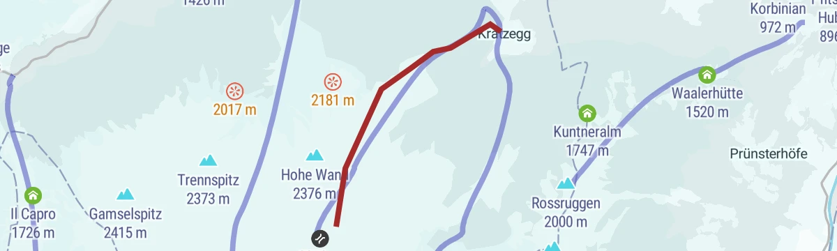
A ski tour from Kratzegg near Ulfas at 1,504 metres by Gampen and Rossgruben to the Schartl at 2,400 metres, feasible right through the winter.
- 3.1 km
- Distance
- 843 m
- Ascent
- 0 m
- Descent
- 2 h 11 min
- Duration
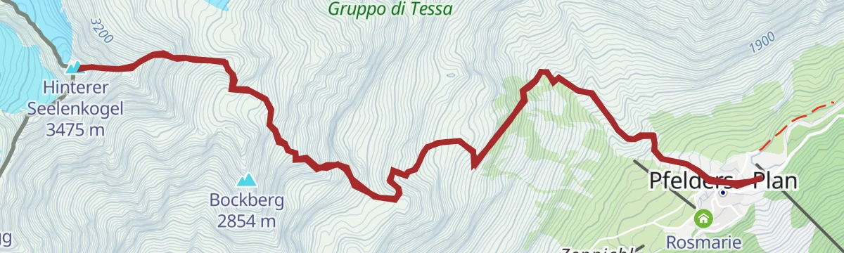
Open route Partschins - Rabland - TöllEscursione sci-alpinistica Cima delle Anime (3.475 m)
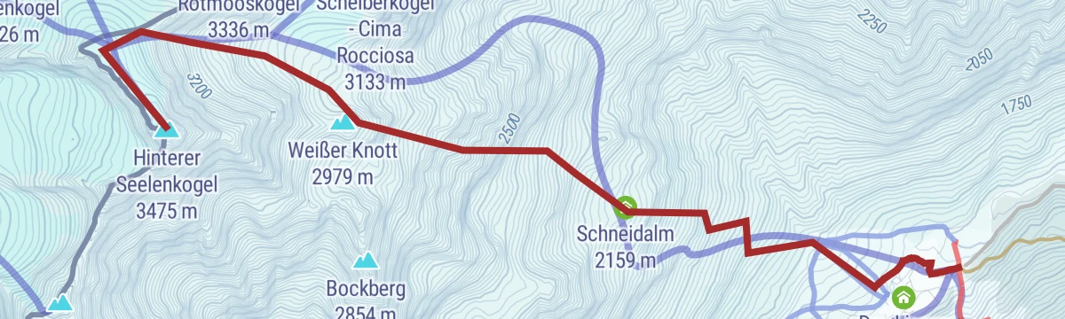
A long ski tour to the Hinterer Seelenkogel at 3,475 metres, at its best in spring; after heavy snow the whole line carries avalanche risk.
- 5.0 km
- Distance
- 1 872 m
- Ascent
- 23 m
- Descent
- 4 h 37 min
- Duration
- 45
- Check-ins
- Hinterer Seelenkogel 3 475 m
- Weißer Knott 2 979 m
- Tourismusverein Passeiertal - Infobüro Pfelders 1 626 m
- Zwickauer Hütte - Rifugio Plan 2 989 m
- Schneidalm 2 159 m
- Pisten Pub 1 630 m
Open route Partschins - Rabland - TöllPasseggiata invernale alla malga Timmelsalm
A well-liked winter walk to the Timmelsalm, a recently built hut above the treeline in a wide valley ringed by three-thousanders, also on the way to the Becherhaus.
- 1.8 km
- Distance
- 224 m
- Ascent
- 54 min
- Duration
- 6
- Check-ins
Open route Partschins - Rabland - TöllPasseggiata lungo il sentiero della roggia di Matatz/Ulfas - Waalweg
An irrigation-channel path of 1820 above Ulfas, carrying water from May to October; worth walking only in the warm months given its height, with the Ulfaser Alm on the way.
- 10.1 km
- Distance
- 199 m
- Ascent
- 2 h 51 min
- Duration
- 10
- Check-ins
Open route Partschins - Rabland - TöllEscursione sulla cima bianca grande (3277 m)
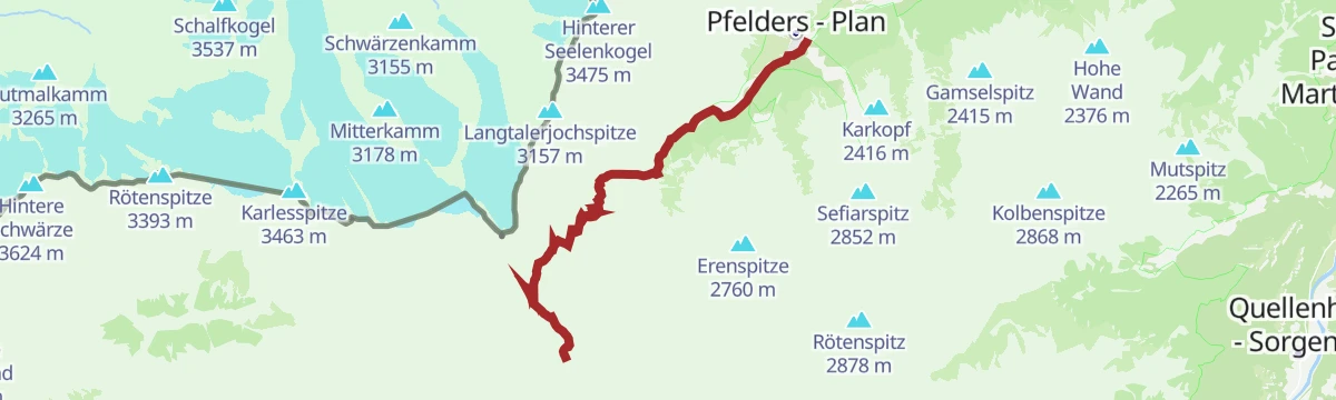
A steep climb from Plan along an exposed ridge to the Hohe Weiße at 3,277 metres, with the Petrarca hut and the Lazins pasture on the way.
- 11.8 km
- Distance
- 1 739 m
- Ascent
- 6 h 57 min
- Duration
- 101
- Check-ins
- Hohe Weiße 3 278 m
- Grafspitz - Cima della Grava 3 149 m
- Stettiner Hütte - Rifugio Petrarca 2 875 m
- Lazinser Alm 1 860 m
- Das Lisann 1 636 m
- Rosmarie 1 631 m
- +4
Open route Partschins - Rabland - TöllEscursione sci-alpinistica sulla Cima Fiammante (3228 m)
A hard spring ski tour to the Lodner at 3,228 metres above the Passeier valley, with the Lazins inn as a base.
- 10.3 km
- Distance
- 1 636 m
- Ascent
- 38 m
- Descent
- 4 h 46 min
- Duration
- 31
- Check-ins
- Lodner 3 228 m
- Tourismusverein Passeiertal - Infobüro Pfelders 1 626 m
- Peterhof 1 683 m
- Pisten Pub 1 630 m
- Zeppichl 1 685 m
- Martins`s Hofschenke 1 682 m
Open route Partschins - Rabland - TöllEscursione al Lago Seeber See
An undemanding round from the Seeber car park past two staffed dairy huts to the Seeber See, a small lake lying under the glaciers above.
- 7.0 km
- Distance
- 313 m
- Ascent
- 2 h 24 min
- Duration
- 5
- Check-ins
Open route Partschins - Rabland - TöllPercorso Gola "Passerschlucht"
A path through the rough gorge of the Passirio from San Leonardo up to Moso; not suited to pushchairs, wheelchairs or bikes.
- 8.0 km
- Distance
- 415 m
- Ascent
- 2 h 36 min
- Duration
- 7
- Check-ins
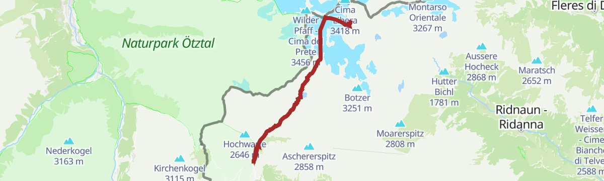
Open route Partschins - Rabland - TöllWilder Pfaff 3458m, Zuckerhütl 3507m, Wilder Freiger 3419m
A long glacier round from the Timmelsbrücke by the Timmelsalm and the Schwarzwandscharte to the Müllerhütte, then over the Wilder Pfaff to the Zuckerhütl and the Wilder Freiger.
- 29.7 km
- Distance
- 2 237 m
- Ascent
- 14 h 38 min
- Duration
- 100
- Check-ins
- Becher - Bicchiere 3 195 m
- Cima Libera 3 418 m
- Signalgipfel 3 392 m
- Wilder Pfaff - Cima del Prete 3 456 m
- Becherhaus - Rifugio Gino Biasi al Bicchiere 3 195 m
- alte Zollhütte 3 376 m
- +4
Open route AVS Sektion Sand in TaufersEscursione sci-alpinistica Punta di Montecroce (2.740 m)
A winter ski tour to the Hohe Kreuzspitze at 2,740 metres; the snow slope below the Schartl can carry wind crust.
- 6.0 km
- Distance
- 1 068 m
- Ascent
- 0 m
- Descent
- 3 h 1 min
- Duration
- 12
- Check-ins
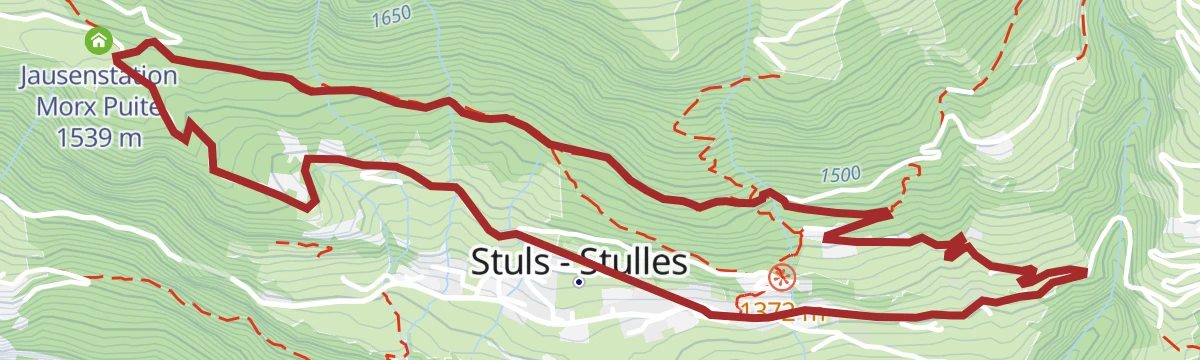
Open route Partschins - Rabland - TöllEscursione Sentiero del sole a Stulles
An easy circuit from the church car park at Stulls over sunny slopes and through shady woods, the forest sections good on snowshoes; not suitable for prams.
- 5.1 km
- Distance
- 249 m
- Ascent
- 1 h 50 min
- Duration
- 1
- Check-ins
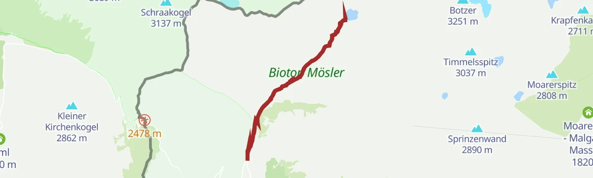
Open route Partschins - Rabland - TöllEscursione al Lago Nero (Großer Schwarzsee)
A walk from the Timmelsbrücke on the Timmelsjoch road to the largest mountain lake in the Passeier valley, through typical high pasture country by the Timmelsalm.
- 10.8 km
- Distance
- 760 m
- Ascent
- 5 h 3 min
- Duration
- 6
- Check-ins
Open route Partschins - Rabland - TöllProposta di tappa dell'Alta Via di Merano 4: Dal Maso Gelato a Plan
A stage of the Meraner Höhenweg from the Eishof farm over to Plan, by way of the Petrarca hut and the Lazins pasture; six to seven hours of walking in all.
- 16.8 km
- Distance
- 820 m
- Ascent
- 6 h 54 min
- Duration
- 98
- Check-ins
- Stettiner Hütte - Rifugio Petrarca 2 875 m
- Eishof - Maso Gelato 2 076 m
- Lazinser Alm 1 860 m
- Eisjöchl - Passo Gelato 2 895 m
- Lazinser Alm 1 855 m
- Tourismusverein Passeiertal - Infobüro Pfelders 1 626 m
- +3
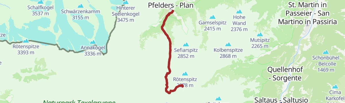
Open route Partschins - Rabland - TöllSci alpinismo alla Punta Rossa (2878 m)
A ski tour of moderate difficulty to the Rötenspitz at 2,878 metres above the Passeier valley, feasible right through the winter.
- 12.8 km
- Distance
- 1 304 m
- Ascent
- 1 301 m
- Descent
- 4 h 58 min
- Duration
- 12
- Check-ins
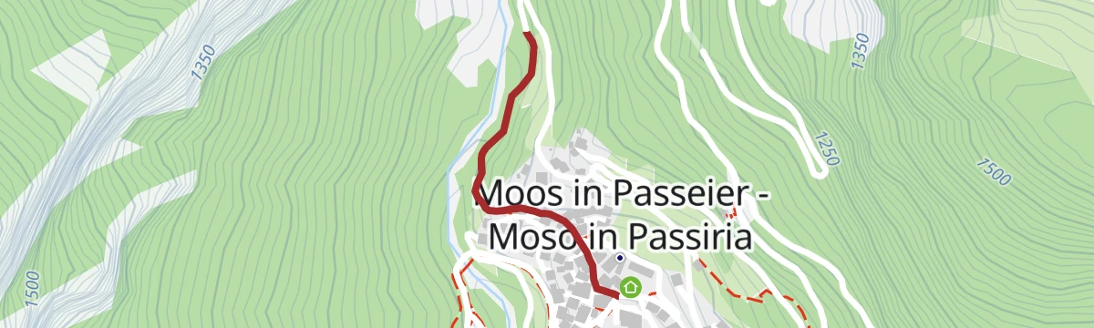
Open route Partschins - Rabland - TöllSentiero "Steinbockweg" a Moso
A level themed path of 400 metres beside the wildlife enclosure at Moos, with climbing stations and displays on the nature of the upper Passeier.
- 1.1 km
- Distance
- 32 m
- Ascent
- 20 min
- Duration
Open route Partschins - Rabland - TöllEscursione sulla cima Königsjoch (2819 m)
An old smugglers' path, little used, climbing to the Austrian border at the Königsjoch; the upper part needs a sure foot and a head for heights.
- 4.2 km
- Distance
- 790 m
- Ascent
- 2 h 57 min
- Duration
- 6
- Check-ins
- Gamsbank 2 425 m
- Hohes Schaferegge 2 574 m
- Obere Glaneggalm - Malga Dosso Piccolo 2 066 m
- Königsjoch - Bocchetta del Re 2 825 m
Open route Partschins - Rabland - TöllEscursione sulla cima Schwarzkopf (2805 m)
A long but not technical climb to the Schwarzkopf at 2,805 metres, looking down on the Spronser lakes.
- 19.1 km
- Distance
- 1 326 m
- Ascent
- 8 h 50 min
- Duration
- 74
- Check-ins
- Schwarzkopf 2 805 m
- Das Lisann 1 636 m
- Rosmarie 1 631 m
- Sport Bar 1 629 m
- Faltschnal-Alm 1 871 m
- Tourismusverein Passeiertal - Infobüro Pfelders 1 626 m
- +6
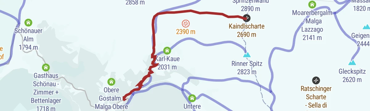
Open route Partschins - Rabland - TöllEscursione sci-alpinistica sul giogo Kaindl(2700 m)
A ski tour of moderate difficulty to the Kaindljoch at 2,700 metres in the upper Passeier valley, feasible all winter.
- 5.5 km
- Distance
- 1 006 m
- Ascent
- 0 m
- Descent
- 2 h 49 min
- Duration
- 10
- Check-ins
- Schutzhütte Schneeberg - Rifugio Monteneve 2 355 m
- Kaindlscharte 2 690 m
- Passo di S. Martino Monteneve 2 525 m
Open route Partschins - Rabland - TöllSentiero dei larici secolari a Plata
An easy walk above the hamlet of Platt in the upper Passeier valley, among larches several centuries old.
- 5.1 km
- Distance
- 342 m
- Ascent
- 2 h 18 min
- Duration
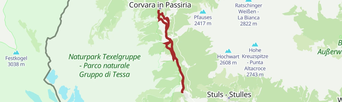
Open route Partschins - Rabland - TöllGiro circolare lago Kummersee a Corvara
A loop around the Kummersee at 1,340 metres near Corvara in the upper Passeier, a lake wrapped in legend, with eight interpretive stations along the way.
- 11.6 km
- Distance
- 477 m
- Ascent
- 3 h 54 min
- Duration
- 2
- Check-ins
Open route Partschins - Rabland - TöllEscursione ai Laghi di Sopranes (Spronser Seen)
A long, demanding round from Plan to the Spronser lakes, the finest group of mountain tarns in South Tyrol, with the Faltschnal and Lazins huts on the way.
- 20.5 km
- Distance
- 1 216 m
- Ascent
- 8 h 27 min
- Duration
- 68
- Check-ins
- Rosmarie 1 631 m
- Sport Bar 1 629 m
- Faltschnal-Alm 1 871 m
- Tourismusverein Passeiertal - Infobüro Pfelders 1 626 m
- Pisten Pub 1 630 m
- Spronserjoch - Forcella Sopranes 2 590 m
- +5
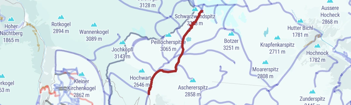
Open route Partschins - Rabland - TöllEscursione sci-alpinistica sulla forcella della Croda Nera(3059 m)
A ski tour of moderate difficulty to the Schwarzwandscharte at 3,059 metres, best in late winter or spring, with the Schönau inn nearby.
- 7.7 km
- Distance
- 1 294 m
- Ascent
- 10 m
- Descent
- 3 h 42 min
- Duration
- 9
- Check-ins
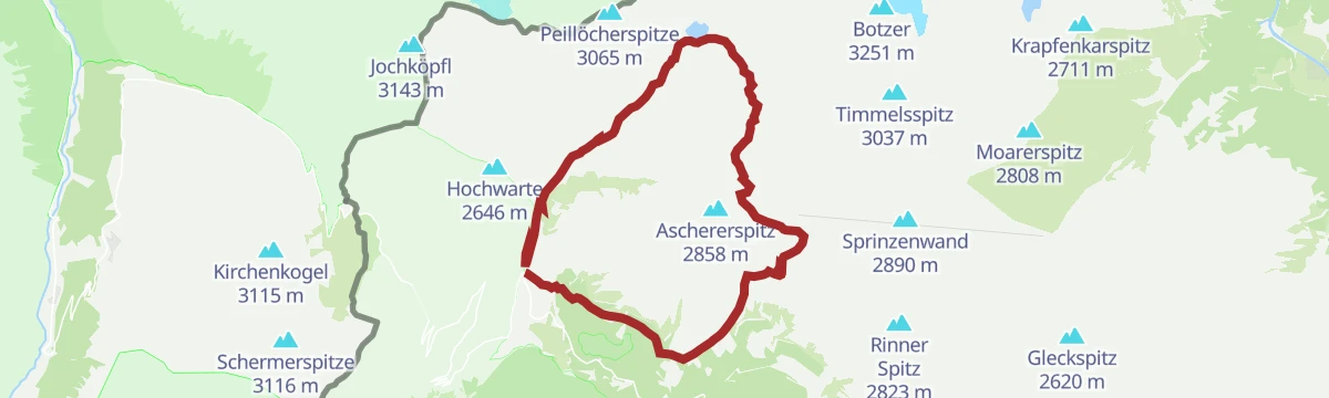
Open route Partschins - Rabland - TöllEscursione sul Übertalferner - Rif. G.B. al Bicchiere (3196 m)
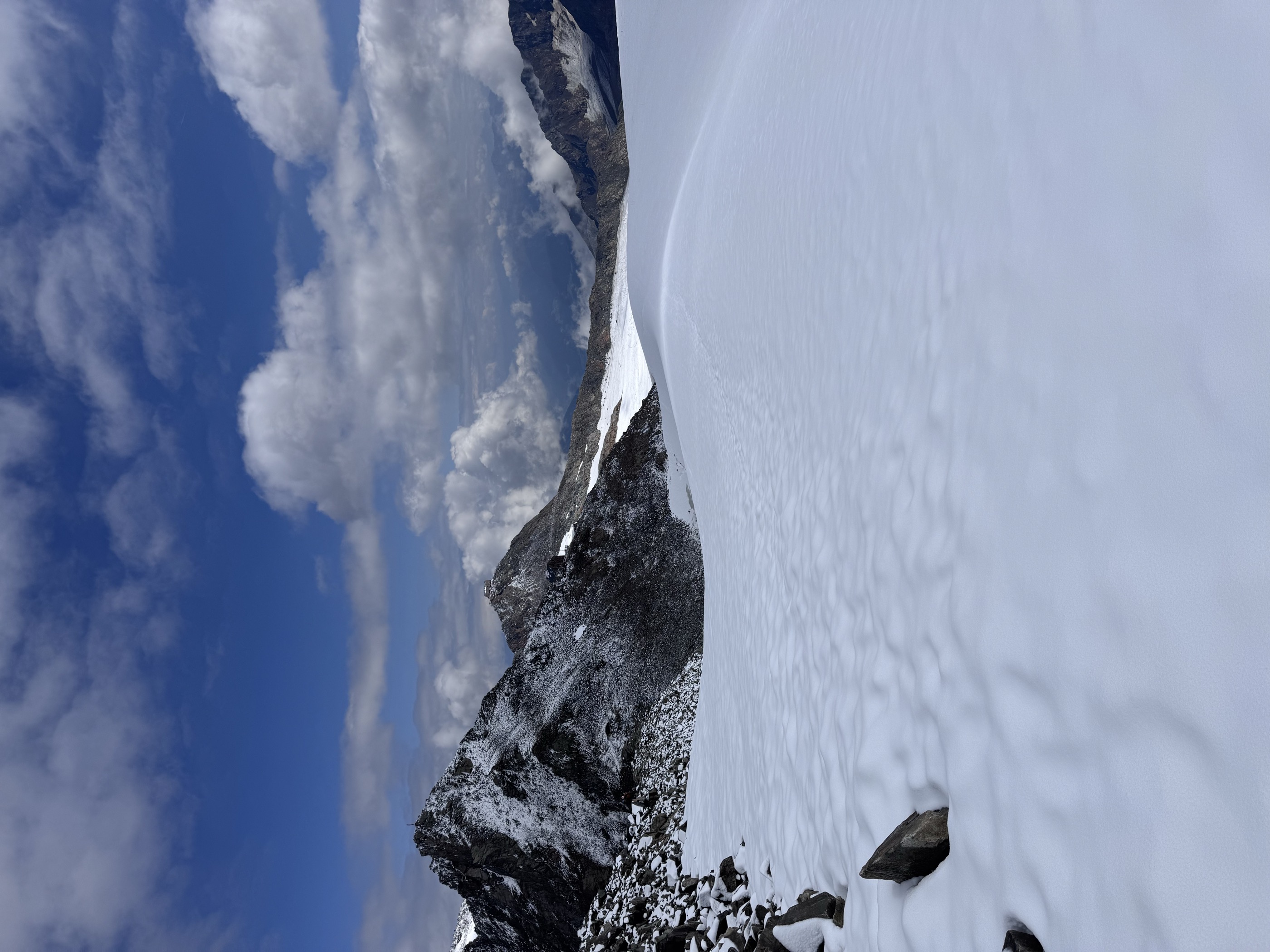
A glacier route from the Timmelsjoch road over the Übeltalferner to the Becherhaus, the highest hut in South Tyrol, passing the Timmelsalm on the way up.
- 12.0 km
- Distance
- 1 528 m
- Ascent
- 6 h 26 min
- Duration
- 57
- Check-ins
- Becher - Bicchiere 3 195 m
- Becherhaus - Rifugio Gino Biasi al Bicchiere 3 195 m
- Timmelsalm - Malga Tumulo 2 000 m
- Müllerhütte - Rifugio Cima Libera 3 145 m
- Schwarzwandscharte 3 058 m
Open route Partschins - Rabland - TöllEscursione sci-alpinistica Il Capro (3.251m)
A ski tour to the Botzer at 3,251 metres in late winter or spring; the ground near the summit can avalanche.
- 8.4 km
- Distance
- 1 454 m
- Ascent
- 0 m
- Descent
- 4 h 8 min
- Duration
- 6
- Check-ins
Open route Partschins - Rabland - TöllEscursione sulla Cima delle Anime (3475 m)
A ridge climb from Plan to the Hinterer Seelenkogel, second highest summit of the Passeier valley, with the Plan hut and the Schneid Alm on the way.
- 13.6 km
- Distance
- 1 850 m
- Ascent
- 10 h 48 min
- Duration
- 45
- Check-ins
- Hinterer Seelenkogel 3 475 m
- Weißer Knott 2 979 m
- Tourismusverein Passeiertal - Infobüro Pfelders 1 626 m
- Zwickauer Hütte - Rifugio Plan 2 989 m
- Schneidalm 2 159 m
- Pisten Pub 1 630 m
Open route Partschins - Rabland - TöllEscursione sci-alpinistica sulla cima Lago Nero (2988 m)
A ski tour of moderate difficulty to the Schwarzseespitze at 2,988 metres, from deep winter through into spring.
- 7.5 km
- Distance
- 1 258 m
- Ascent
- 36 m
- Descent
- 3 h 38 min
- Duration
- 6
- Check-ins
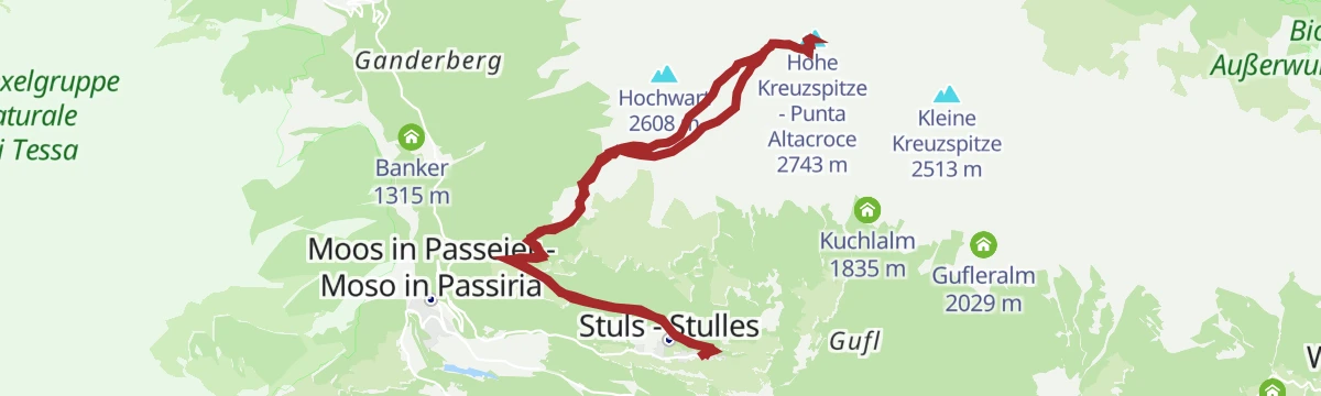
Open route Partschins - Rabland - TöllEscursione sulla Punta Alta Croce (2743 m)
A climb from Stulls to the Hohe Kreuzspitze at 2,743 metres and its large summit cross, with the Hochalm and Egger-Grub huts along the way.
- 14.8 km
- Distance
- 1 432 m
- Ascent
- 8 h 52 min
- Duration
- 38
- Check-ins
- Hohe Kreuzspitze - Punta Altacroce 2 743 m
- Egger-Grub Alm - Malga Egger-Grub 1 946 m
- Schutzhütte Hochalm - Rifugio Hochalm 2 174 m
- Neubauerngut 1 645 m
- Jausenstation Morx Puite 1 539 m
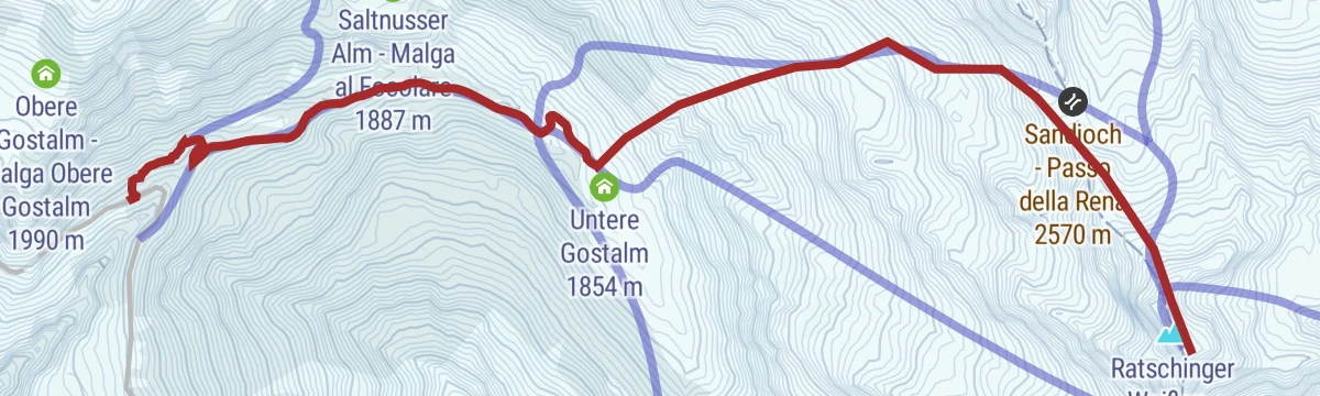
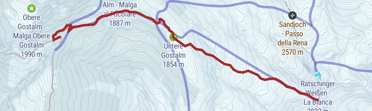
Open route Partschins - Rabland - TöllEscursione sci-alpinistica sulla Bianca (2822 m)
A ski tour to the Ratschinger Weiße at 2,822 metres from late winter into spring; after heavy falls watch for slabs in the middle section.
- 4.9 km
- Distance
- 1 125 m
- Ascent
- 10 m
- Descent
- 3 h
- Duration
- 4
- Check-ins
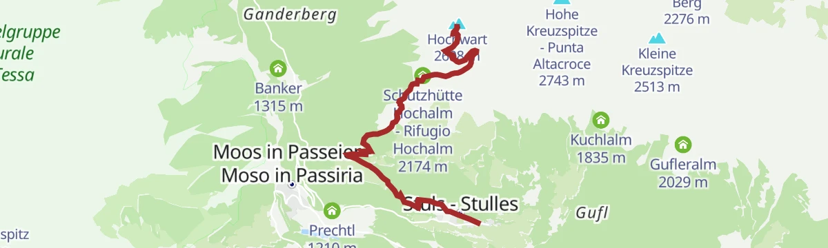
Open route Partschins - Rabland - TöllEscursione sulla guardia alta a Stulles (2608 m)
A climb from Stulls to the Hochwart at 2,608 metres, finishing on a short ferrata, with several dairy huts to stop at on the way.
- 6.7 km
- Distance
- 1 284 m
- Ascent
- 4 h 47 min
- Duration
- 28
- Check-ins
- Hochwart 2 608 m
- Egger-Grub Alm - Malga Egger-Grub 1 946 m
- Schutzhütte Hochalm - Rifugio Hochalm 2 174 m
- Neubauerngut 1 645 m
- Jausenstation Morx Puite 1 539 m
Open route Partschins - Rabland - TöllEscursione sci-alpinistica sulla forcella di Zermedo (2619 m)
An easy ski tour to the Zermedo saddle at 2,619 metres above the Passeier valley, feasible all winter.
- 4.6 km
- Distance
- 964 m
- Ascent
- 10 m
- Descent
- 2 h 37 min
- Duration
- 4
- Check-ins
Open route Partschins - Rabland - TöllEscursione sul monte scabro (2926 m)
A long, tiring climb from Plan to the Rauhjochspitz at 2,926 metres; the Touristensteig is narrow and exposed in places and the last slope to the col is steep and trackless.
- 13.2 km
- Distance
- 1 397 m
- Ascent
- 8 h 31 min
- Duration
- 25
- Check-ins
- Rauhjochspitz 2 926 m
- Tourismusverein Passeiertal - Infobüro Pfelders 1 626 m
- Pisten Pub 1 630 m
- Imstalm 2 199 m
- Rauhjoch Biwak (Josef Pixner Biwak) 2 708 m
- Oberes Kreuzjoch 2 528 m
- +1
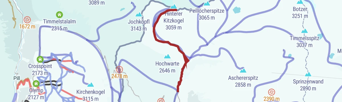
Open route Partschins - Rabland - TöllEscursione sci-alpinistica Hinterer Kitzkogel (3059 m)
A hard ski tour to the south summit of the Hinterer Kitzkogel at 3,059 metres, feasible all winter, with the Schönau inn as a base.
- 5.6 km
- Distance
- 1 305 m
- Ascent
- 16 m
- Descent
- 3 h 28 min
- Duration
Open route Partschins - Rabland - TöllEscursione a Monteneve
A varied route to the miners' settlement of Schneeberg at 2,355 metres, reachable only on foot, with more than 800 years of mining behind it, and on to the Großer Schwarzsee.
- 16.7 km
- Distance
- 1 060 m
- Ascent
- 7 h 13 min
- Duration
- 24
- Check-ins
- Winterraum 2 350 m
- Schutzhütte Schneeberg - Rifugio Monteneve 2 355 m
- Timmelsalm - Malga Tumulo 2 000 m
- Karlsscharte - Forca Karl 2 663 m
- Almhütte - Malga 2 332 m
Open route Partschins - Rabland - TöllSci alpinismo a Cima La Clava (2868 m)
A ski tour of middling difficulty to the Kolbenspitze at 2,868 metres above the Passeier valley, feasible all winter.
- 6.2 km
- Distance
- 1 353 m
- Ascent
- 0 m
- Descent
- 3 h 39 min
- Duration
Open route Partschins - Rabland - TöllEscursione sulla cima Pan di Zucchero (3507 m) (A)
A mixed snow and rock route from the Timmelsjoch road to the Wilder Pfaff, often split over two days; a guide is advisable without glacier experience.
- 12.6 km
- Distance
- 1 747 m
- Ascent
- 7 h 10 min
- Duration
- 23
- Check-ins
- Wilder Pfaff - Cima del Prete 3 456 m
- Timmelsalm - Malga Tumulo 2 000 m
- Müllerhütte - Rifugio Cima Libera 3 145 m
- Schwarzwandscharte 3 058 m
- Pfaffennieder 3 136 m
- Pfaffensattel 3 331 m
Open route Partschins - Rabland - Töll
No routes of this kind in Moso in Passiria/Moos in Passeier yet.
The region's own picks

Featured route
Sentiero panoramico e labirinto di pietra a Plan
A balcony path above Plan in the upper Passiria, through alpine meadow to a maze laid out in stone.
Planning a trip to Moso in Passiria/Moos in Passeier?
Everything else Trentino-Alto Adige/Südtirol has, in one place


Take Moso in Passiria/Moos in Passeier with you into the mountains
Every route on this page with 3D terrain, GPX navigation and offline maps — including the valleys with no signal.
Data sources
- Official website: merano-suedtirol.it ↗
- Routes and highlights: Partschins - Rabland - Töll, Sterzing, Pfitsch und Freienfeld, Italia.it, AVS Sektion Sand in Taufers
- Published as open data by the tourist boards named above.
- Region summary generated from the board's own material.
