
Curated by Innsbruck Tourismus
Mötz
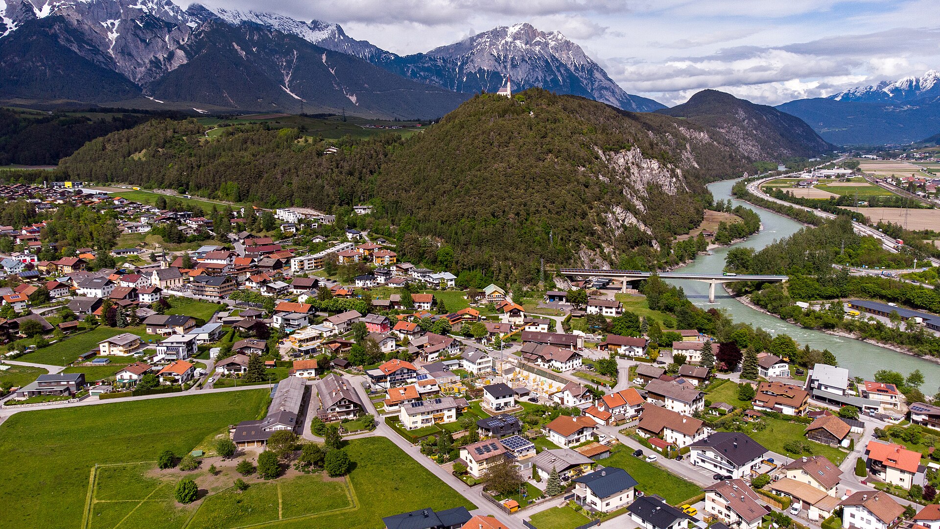
On the Inn opposite Silz where the road winds up to the Mieminger Plateau, a village beneath the pilgrimage rock of Maria Locherboden.
- 15Highlights
- 6Routes
- Featured summit · Birgele
Highlights
All 15 from neighbouring places
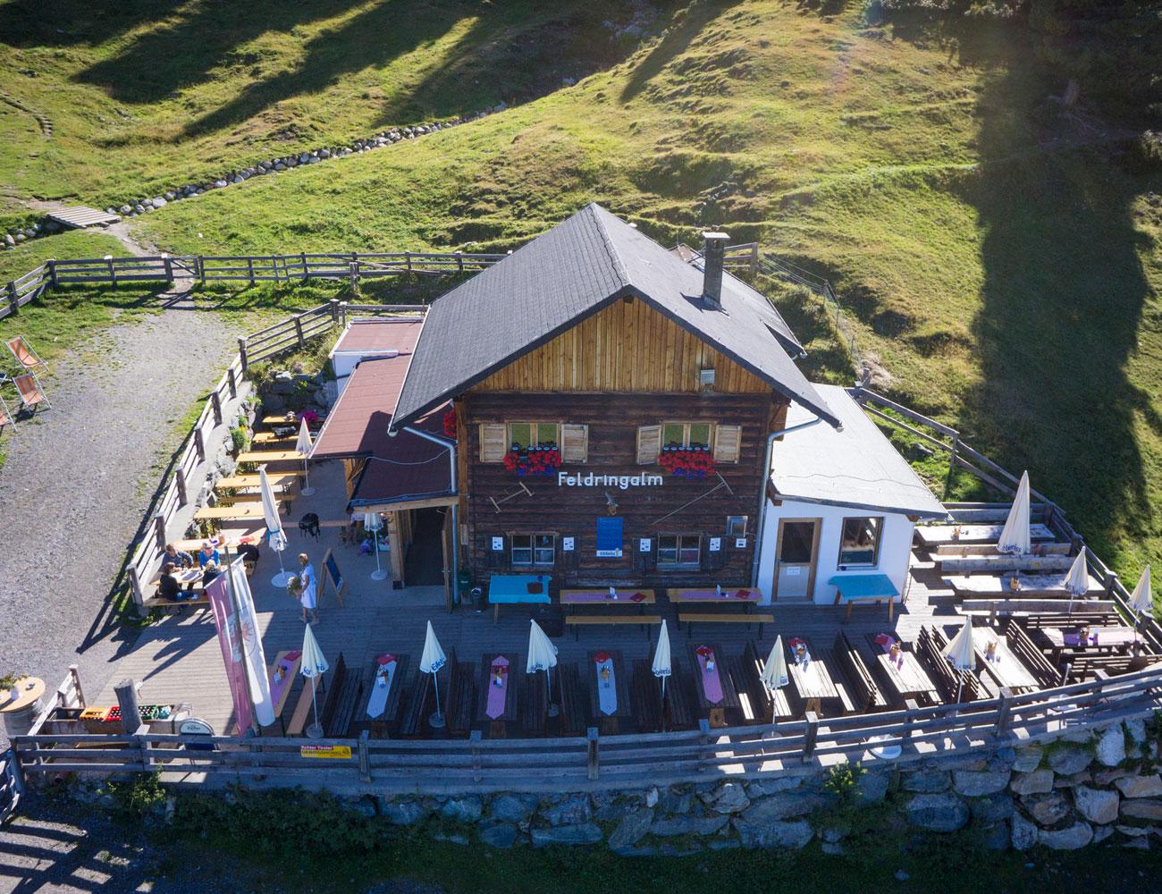
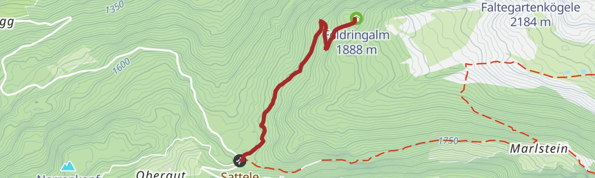
Feldringalm
5 km away, in Silz
A traffic-free alpine pasture reached by forest road from the Sattele car park, an easy walk suited to families.
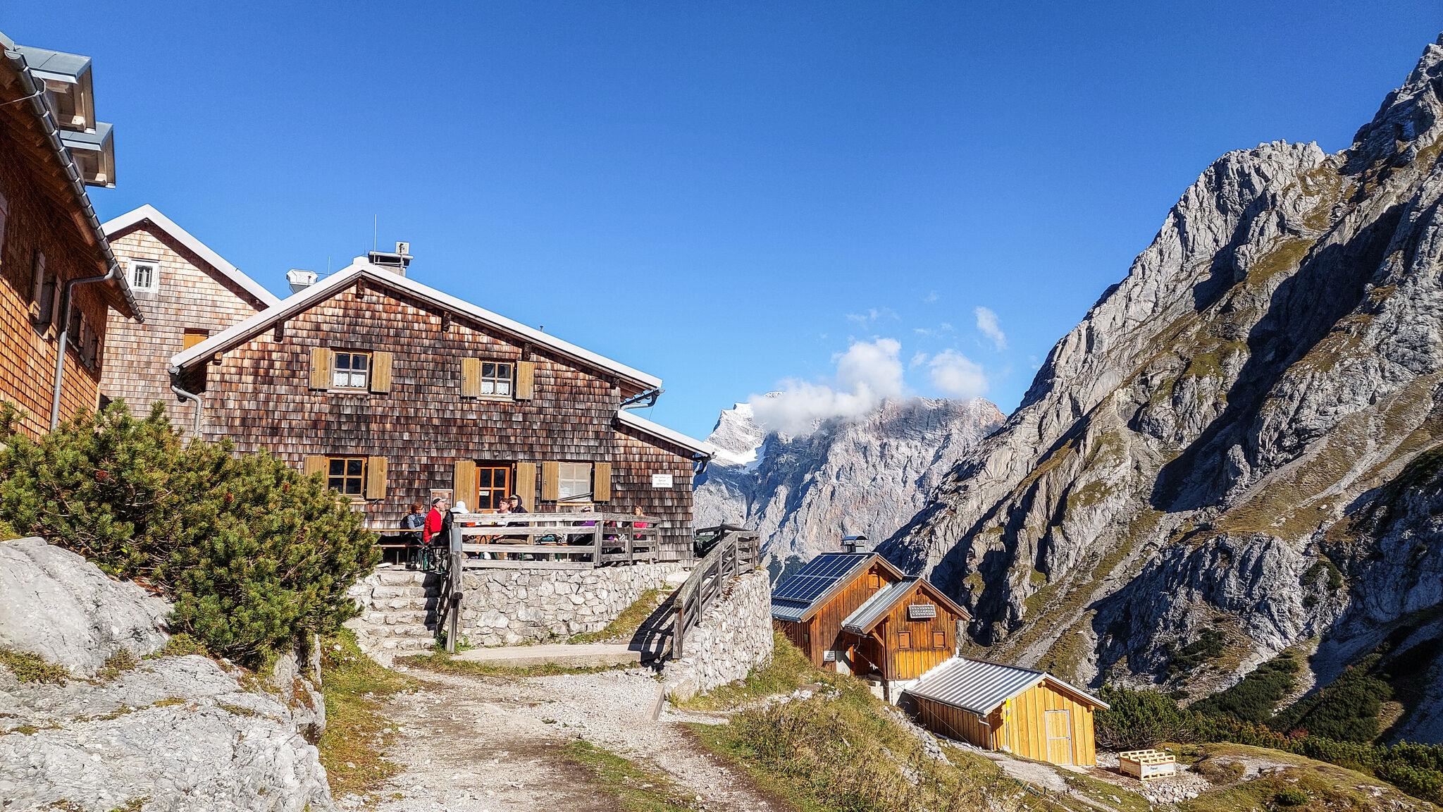
Coburger Hütte
8.1 km away, in Mieming
An Alpine Club hut above the Seebensee near Ehrwald, set among the lakes of the Mieming range and a base for the Sonnenspitze.
Drei-Seen-Bahn
9.8 km away, in Silz
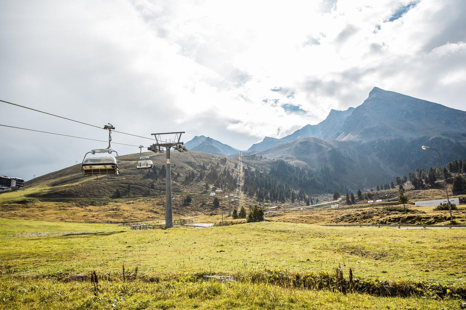
A four-seat chairlift at Kühtai with weather hoods and bike carriers, serving the three-lakes walk and a large high-alpine playground.
Hochfeldern Alm
11 km away, in Mieming
An alm at about 1,700 m between the Ehrwalder Alm and the Gaistal, on the high route below the Mieming range.
KG Simmering
4.5 km away, in Haiming
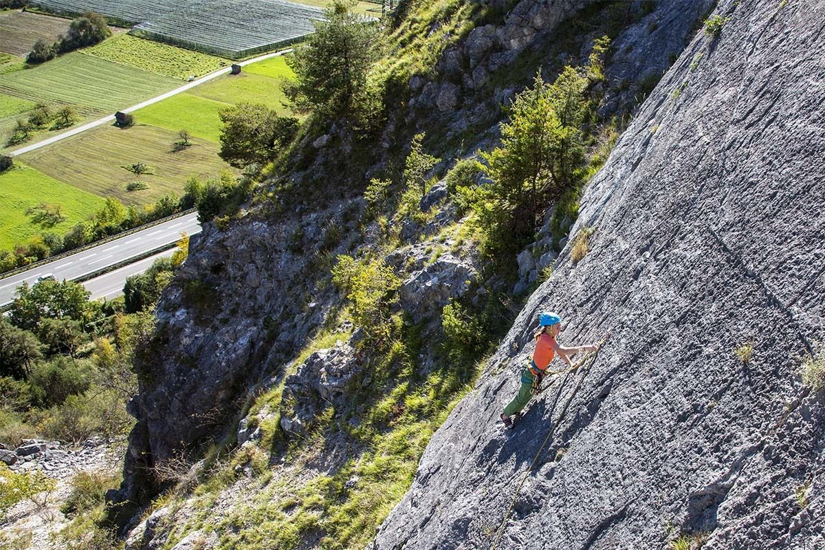
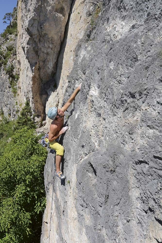
A crag on the Simmering at 719 m with several sectors of well-protected single- and multi-pitch routes, most at the easier grades.
Geierwand
5.8 km away, in Haiming
A sunny wall at 750 m above Haiming with well-protected multi-pitch routes, climbable most of the year but hot in summer.
Almhof Mareil
7 km away, in Haiming
An inn between Ochsengarten and Kühtai on the Kaiser-Franz-Josef, Höllwiesen and Knappen paths, with its own bus stop below.
Schneedorf Hochoetz
7.6 km away, in Haiming
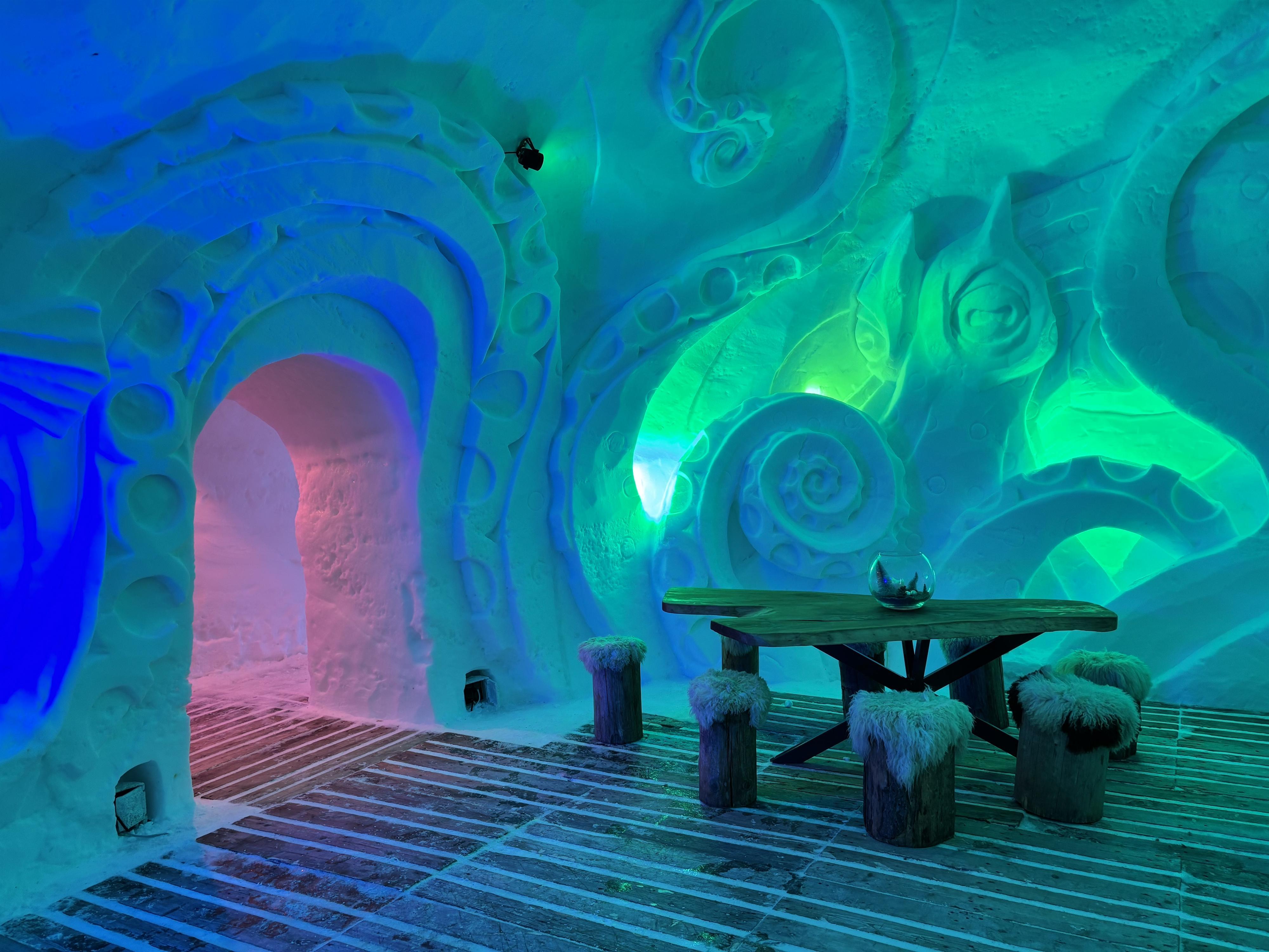
Austria's first igloo village, rebuilt each winter at about 2,000 m at Hochoetz, with rooms cut from snow and open for overnight stays.
Balbach Alm
7.8 km away, in Haiming
A hut on the Hochoetz slopes serving traditional Tirolean cooking, with overnight places available.
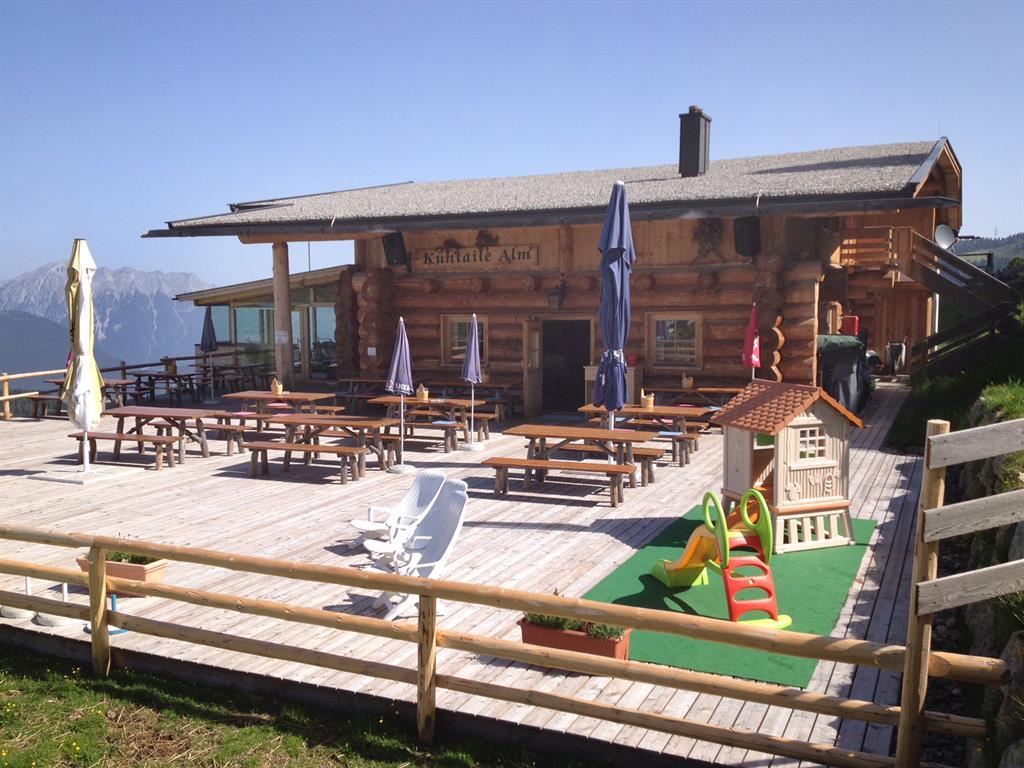
Kühtaile Alm
7.9 km away, in Oetz
A hut reached from the top station of the Acherkogelbahn or the Ochsengartenbahn, with a sun terrace and Tirolean dishes.
Amberger See
8.2 km away, in Oetz
A moor lake at 1,522 m in a hollow scoured by the ice-age glacier, also known as the Brandsee.
Rotes Wandl
8.2 km away, in Oetz
A viewpoint 45 minutes from the Hochoetz top station, looking over the lower Ötztal and Inn valley to the Lechtal Alps and the Arlberg.
Panoramarestaurant Hochoetz
8.3 km away, in Oetz
A restaurant at 2,020 m beside the Acherkogelbahn top station and the WIDIVERSUM, with a terrace facing the Ötztal Alps.
Fasnachtshaus Nassereith
8.5 km away, in Nassereith
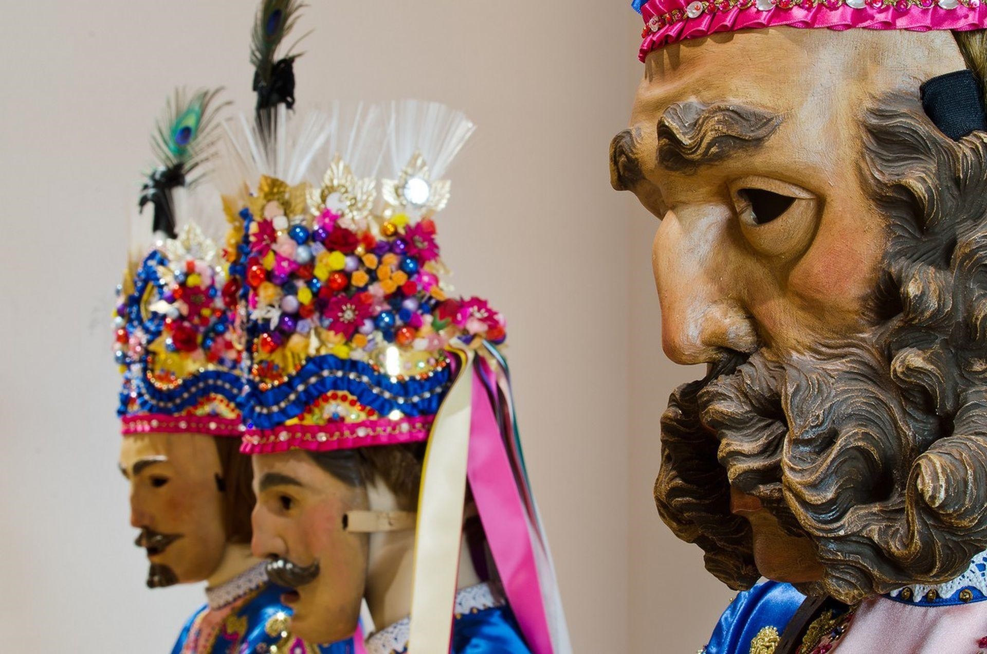
A museum in Nassereith devoted to the village's Fasnacht carnival, displaying the carved masks and costumes of the Schellerlaufen.
 Mountain hut
 Cable car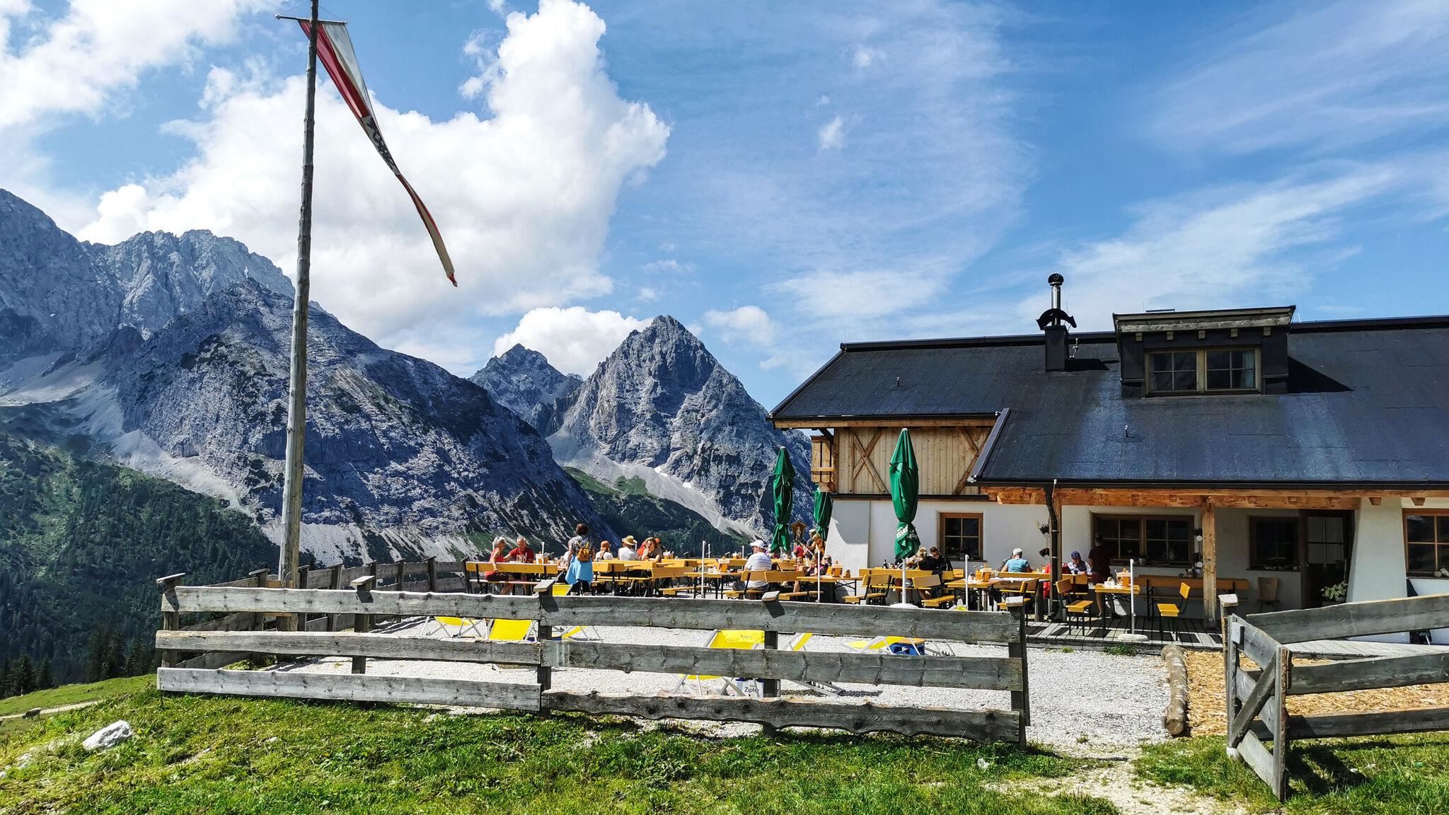
 Historic site
 Viewpoint
Nothing of this kind in Mötz.
Routes
14 from neighbouring places
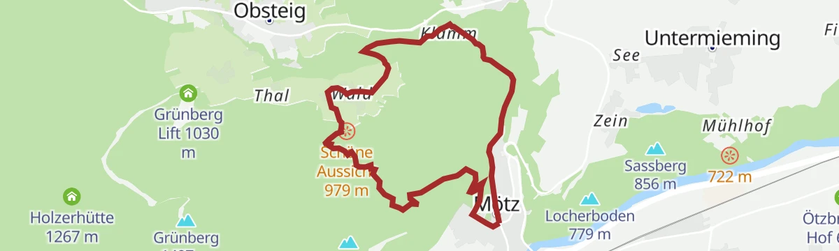
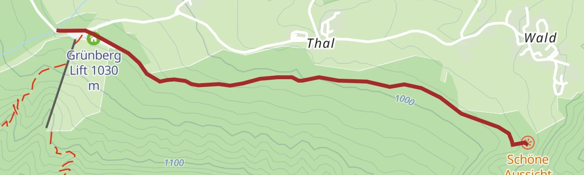
Schöne Aussicht
Short, easy round near the Grünberg lift at Mötz with a stop at the Liftcafe and broad views over the Inn valley — true to its name.
- 3.7 km
- Distance
- 50 m
- Ascent
- 59 min
- Duration
- 1
- Check-ins
Mötz - Burg Klamm - Mötz
Loop from Mötz up through forest to the Burg Klamm ruin above its stream gorge and back, a moderate round with about 400 m of climbing.
- 8.4 km
- Distance
- 394 m
- Ascent
- 2 h 57 min
- Duration
Weg der Sinne (Mötz - Rietz - Stams)
Full-day route linking Mötz, Rietz and Stams over the Birgele and the Locherboden pilgrimage hill, with themed stations on the senses along the way.
- 21.6 km
- Distance
- 691 m
- Ascent
- 6 h 46 min
- Duration
- 1
- Check-ins
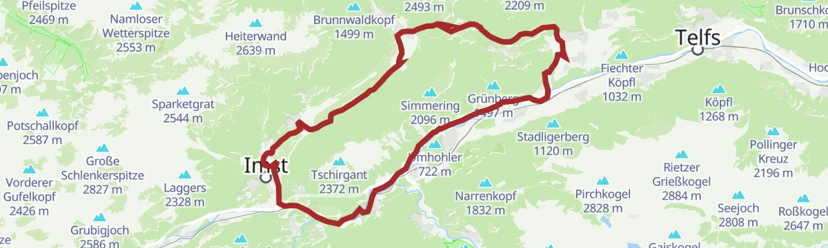
Gravelrunde Tschirgantmassiv
A gravel circuit right around the Tschirgant massif, passing the Rafting Alm on the Inn and the mouth of the Pitztal.
- 56.0 km
- Distance
- 691 m
- Ascent
- 5 h 37 min
- Duration
- 20
- Check-ins
Tschirgantrunde
A road circuit around the massif between the Inn and Ötz valleys, climbing to Gasthaus Arzkasten before the run back down the river.
- 54.3 km
- Distance
- 986 m
- Ascent
- 5 h 45 min
- Duration
- 14
- Check-ins
Tschirgantrunde
A circuit of the Tschirgant on valley tracks, passing the Weiße Haus, Camping Rossbach and the turn-off into the Pitztal.
- 56.0 km
- Distance
- 691 m
- Ascent
- 5 h 37 min
- Duration
- 20
- Check-ins
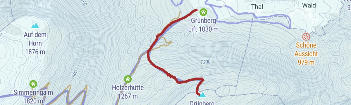
Skitour auf den Grünberg 1.497 m
2.8 km away, in Obsteig
Short forest ski tour from the Grünberg lift's valley station to the Grünberg at 1,497 m — modest terrain well suited to practice days.
- 2.4 km
- Distance
- 464 m
- Ascent
- 464 m
- Descent
- 1 h 30 min
- Duration
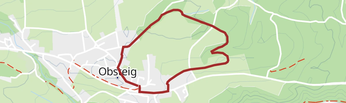
Obsteiger Runde
3.2 km away, in Obsteig
A gentle loop through the meadows and hamlets around Obsteig, passing the Grünberg lift and the inn at Arzkasten.
- 10.2 km
- Distance
- 227 m
- Ascent
- 1 h 7 min
- Duration
- 3
- Check-ins
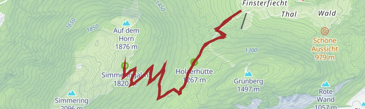
Simmering (629)
3.7 km away, in Obsteig
A forest-road ascent past the Klammle waterfall and the Holzerhütte to the Simmeringalm, high on the slope above Obsteig.
- 12.5 km
- Distance
- 785 m
- Ascent
- 2 h 2 min
- Duration
- 7
- Check-ins
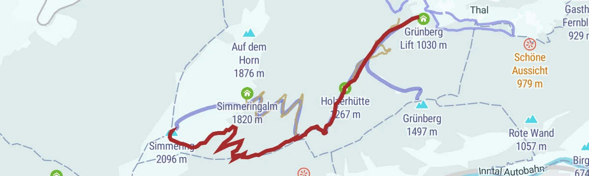
Skitour Simmering 2.096 m
4.2 km away, in Obsteig
Long ski tour from the Grünberg lift over the Holzerhütte to the Simmering at 2,096 m, more than 1,000 m of skinning to a broad summit view.
- 6.3 km
- Distance
- 1 065 m
- Ascent
- 1 065 m
- Descent
- 3 h 33 min
- Duration
- 4
- Check-ins
E-Bike & Climb - Wank Klettersteig
4.4 km away, in Obsteig
A short e-bike approach above Obsteig to the Lehnberghaus, the starting point for the via ferrata higher up towards the Stöttltörl.
- 6.0 km
- Distance
- 200 m
- Ascent
- 43 min
- Duration
- 11
- Check-ins
6051 Sattele-Feldring Alm
6.3 km away, in Haiming
A short, easy link from the Sattele saddle across to the alm at 1,888 m, with only a couple of hundred metres to climb.
- 4.2 km
- Distance
- 190 m
- Ascent
- 33 min
- Duration
- 17
- Check-ins
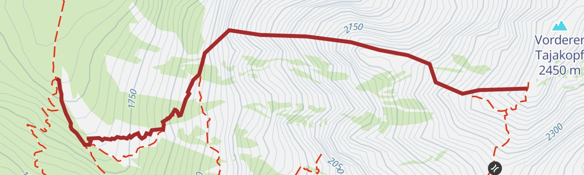
Coburger Steig
8.2 km away, in Mieming
Short secured passage at the Vorderes Tajatörl easing the way toward the Coburger Hütte and the Drachensee, easily combined with other Mieminger routes from Ehrwald.
- 5.4 km
- Distance
- 90 m
- Ascent
- 2 h 13 min
- Duration
- 21
- Check-ins
Tajakante Klettersteig
8.5 km away, in Mieming
Sustained via ferrata straight up the edge of the Vorderer Tajakopf above the Seebensee - 600 m of climbing on one ridgeline, with descent by the normal route to the Coburger Hütte.
- 1.3 km
- Distance
- 600 m
- Ascent
- 3 h 50 min
- Duration
Jakobsweg „Tirol-Allgäu“ von Stams bis Obsteig
1.7 km away, in Obsteig
Pilgrim stage of the Tirol–Allgäu Way of St James from the abbey village of Stams up onto the Mieming plateau to Obsteig.
- 16.0 km
- Distance
- 600 m
- Ascent
- 5 h 13 min
- Duration
- 2
- Check-ins
Obsteiger Larchsteig
1.9 km away, in Obsteig
Level stroll among the larch meadows on the edge of Obsteig — short, quiet and easily started from the village centre.
- 2.0 km
- Distance
- 29 m
- Ascent
- 32 min
- Duration
Genuss-Radweg Mieminger Plateau
2 km away, in Mieming
A long tour over the terraces above Mieming, climbing to Gasthaus Arzkasten at 1,150 m and passing the Grünberg lift on the way round.
- 40.1 km
- Distance
- 731 m
- Ascent
- 4 h 15 min
- Duration
- 4
- Check-ins
Jakobsweg Etappe 1 Stams - Nassereith
2.8 km away, in Obsteig
Opening stage of the Jakobsweg branch toward the Ausserfern: from Stams abbey across the Mieming plateau past Arzkasten, ending at Nassereith and its lake.
- 17.9 km
- Distance
- 640 m
- Ascent
- 5 h 47 min
- Duration
- 2
- Check-ins
Gaistalrunde - Mieminger Kette Rundtour
8.1 km away, in Wildermieming
A long loop right around the range over the Marienbergjoch, linking the Ehrwalder Alm, Gaistalalm, Marienbergalm and Tillfussalm on forest roads.
- 66.6 km
- Distance
- 2 310 m
- Ascent
- 8 h 5 min
- Duration
- 247
- Check-ins
Skitour auf die Lacke 1.704 m
4.2 km away, in Obsteig
Moderate ski tour from the Arzkasten car park to the Lacke at 1,704 m, a forest-and-clearing ascent well suited to shorter days.
- 3.4 km
- Distance
- 578 m
- Ascent
- 578 m
- Descent
- 1 h 56 min
- Duration
- 1
- Check-ins












No routes of this kind in Mötz yet.
The region's own picks
Featured route
Schöne Aussicht
Short, easy round near the Grünberg lift at Mötz with a stop at the Liftcafe and broad views over the Inn valley — true to its name.
Planning a trip to Mötz?
Everything else Tyrol has, in one place


Take Mötz with you into the mountains
Every route on this page with 3D terrain, GPX navigation and offline maps — including the valleys with no signal.
Data sources
- Official website: innsbruck.info ↗
- Routes and highlights: Innsbruck Tourismus, Ötztal Tourismus, Imst Tourismus, Region Seefeld, Climbers Paradise *Neu*, Naturparkregion Reutte, Tirol Werbung, Tannheimer Tal
- Published as open data by the tourist boards named above.
- Region summary generated from the board's own material.
