
 Historic site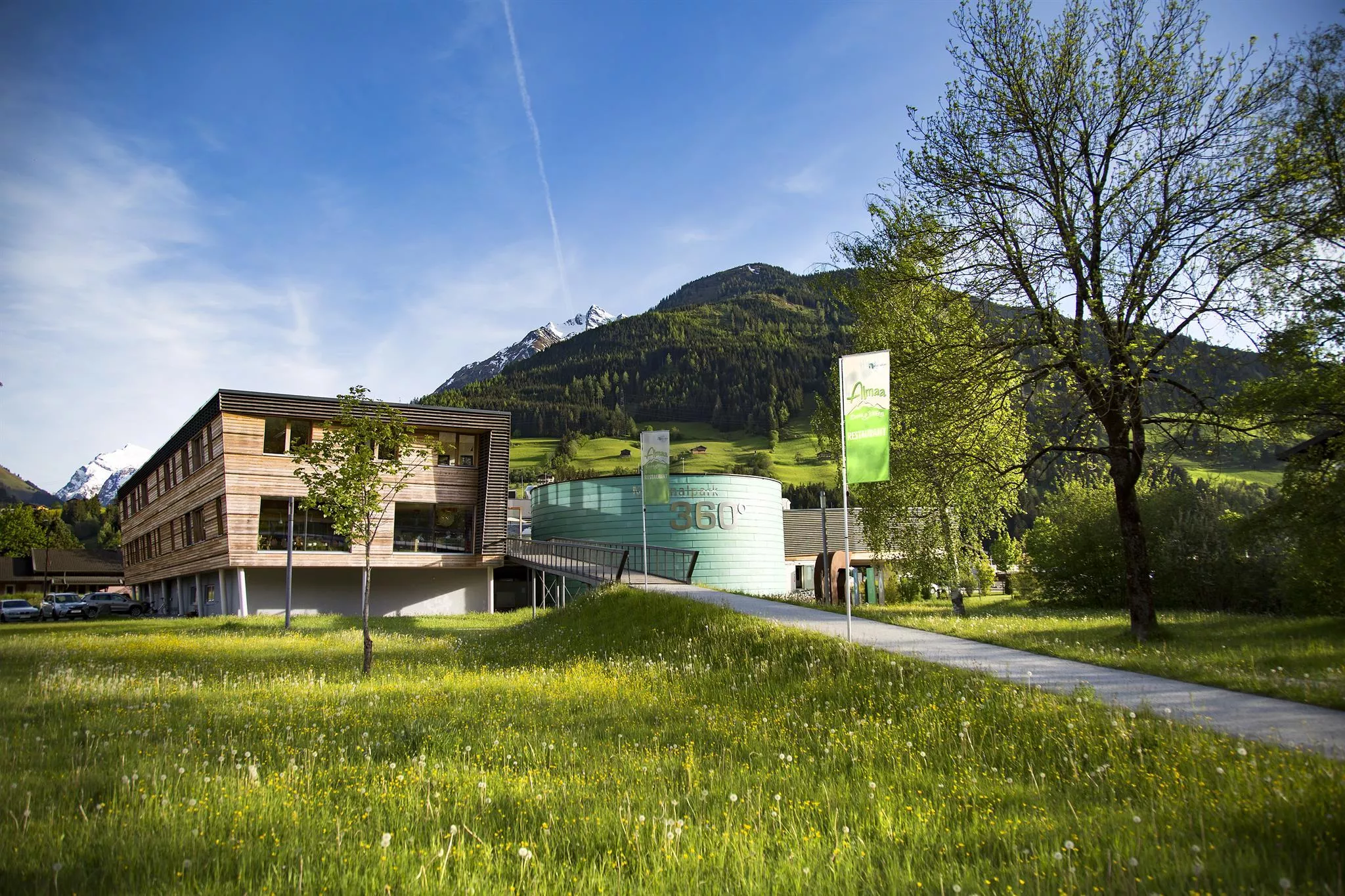
 Cable car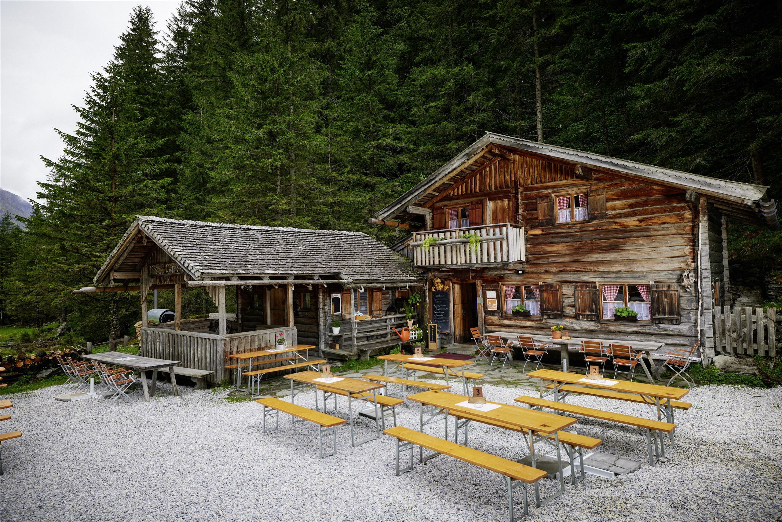
 Viewpoint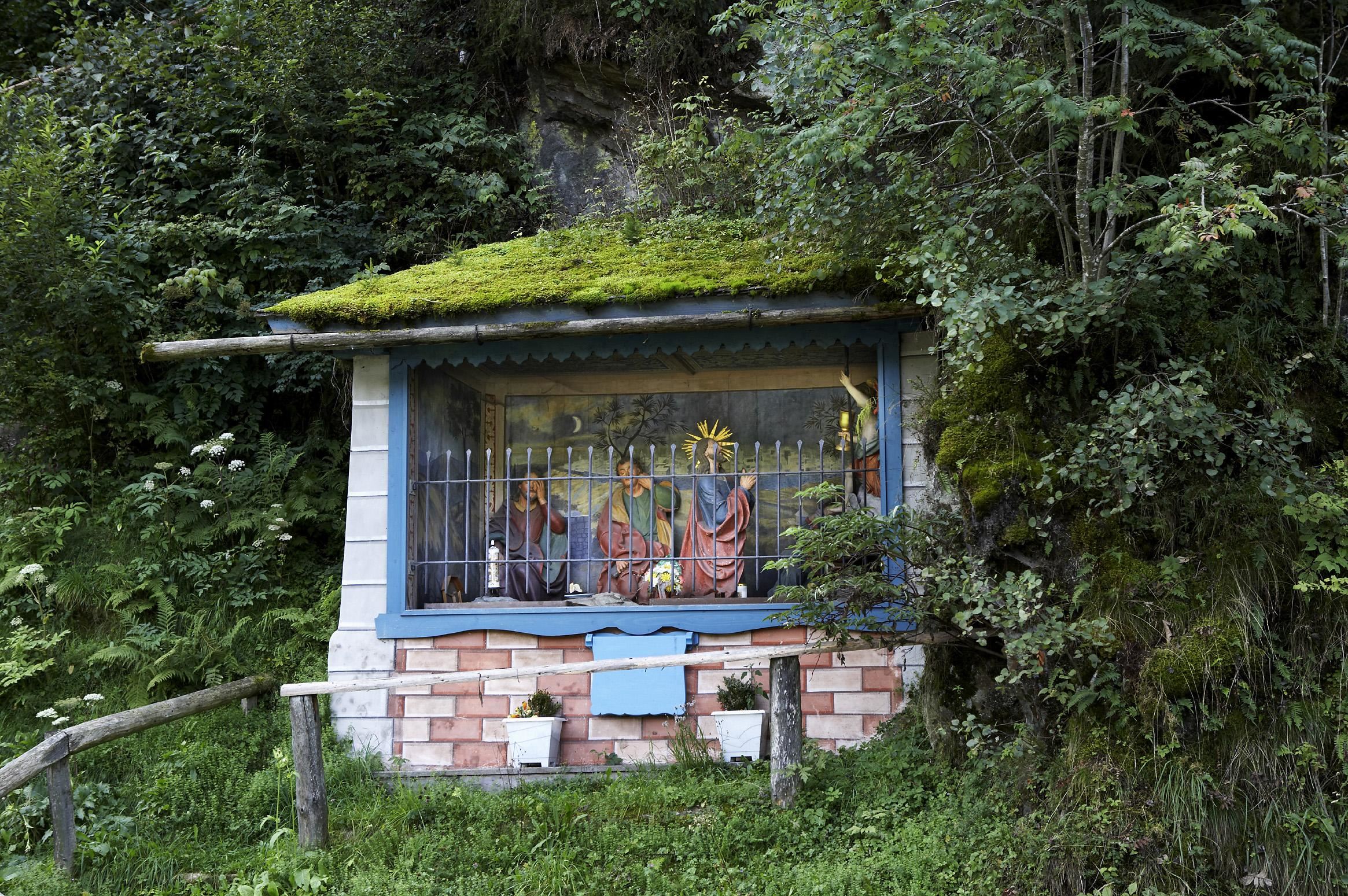
 Via ferrata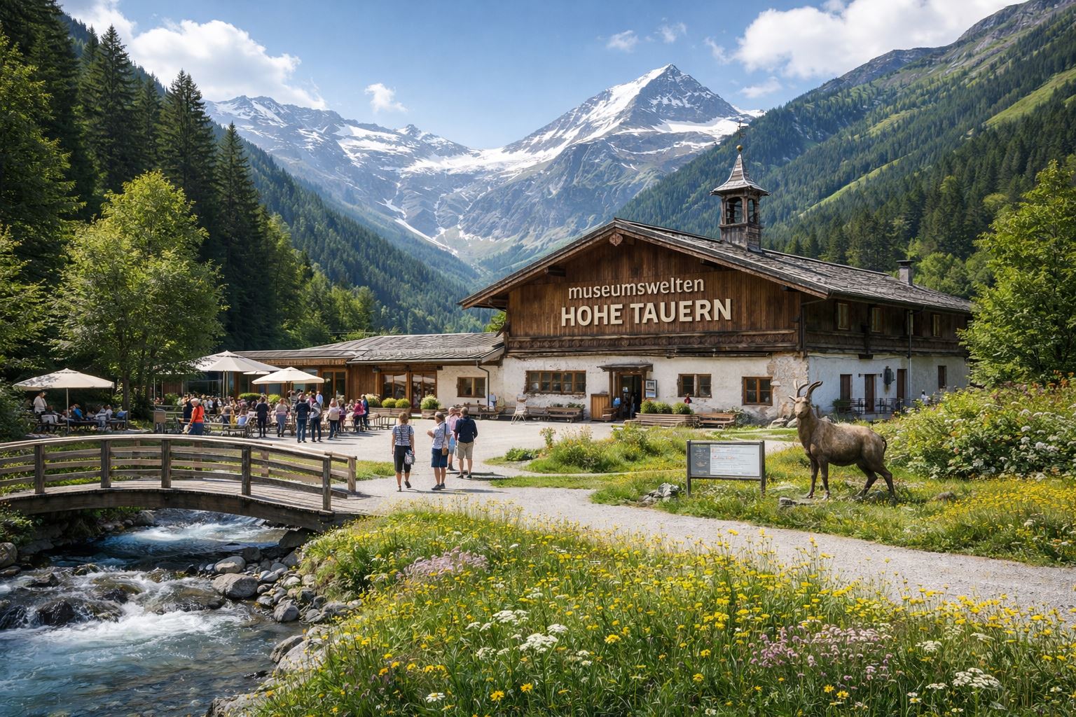




















Curated by Nationalparkregion Mittersill
Mittersill
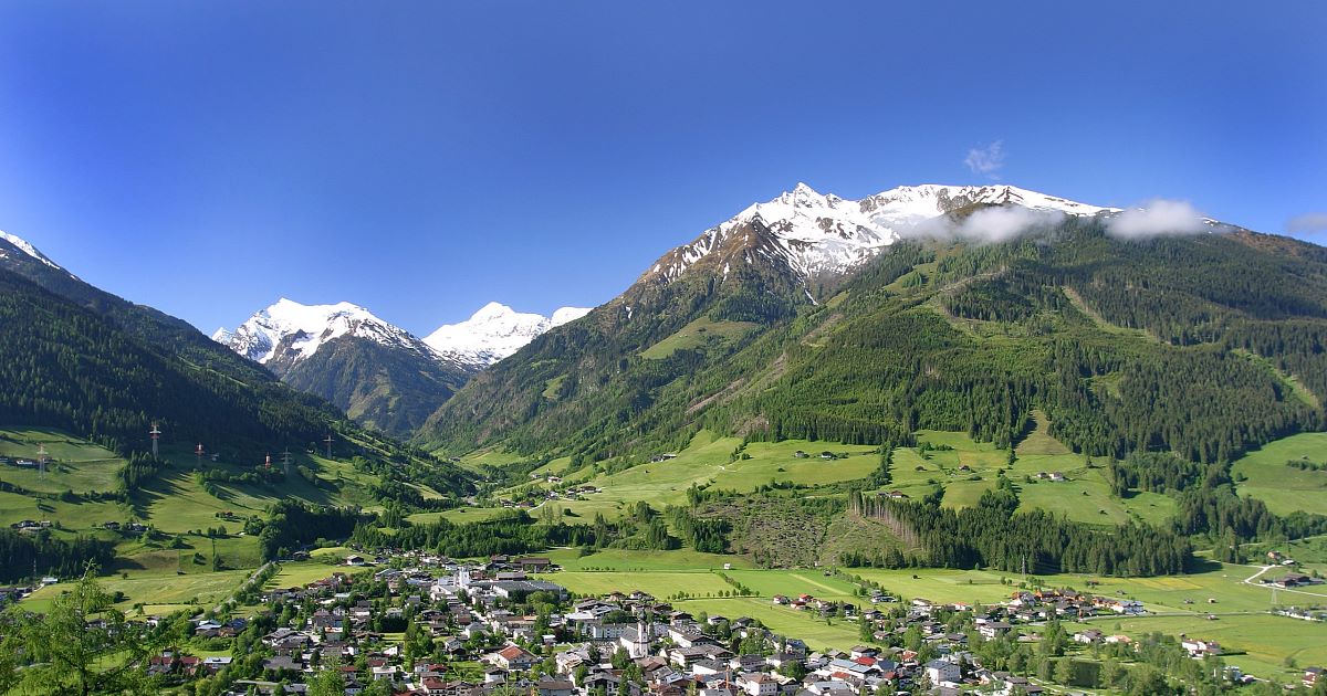
Chief town of the Oberpinzgau on the Salzach at the Pass Thurn road to Kitzbühel, seat of the Hohe Tauern national park administration and its exhibition worlds.
- 33Highlights
- 61Routes
- Featured summit · Großer Rettenstein
Highlights
The 20 highest-rated · see the rest on mittersill.info ↗
NationalparkweltenHohe Tauern
The visitor centre of the Hohe Tauern National Park in Mittersill, with indoor exhibitions on the glaciers, wildlife and habitats of the high mountains.
Nationalpark-Panorama Resterhöhe
A national park viewing point at the Resterhöhe above Mittersill, reached by the Panoramabahn Kitzbüheler Alpen.
Nationalparkladen Mittersill
The Hohe Tauern National Park's own shop at the park centre in Mittersill in the Oberpinzgau.
Nationalparkwelten Hohe Tauern Mittersill
The Hohe Tauern National Park's exhibition centre in Mittersill, presenting the geology and wildlife of the range indoors.
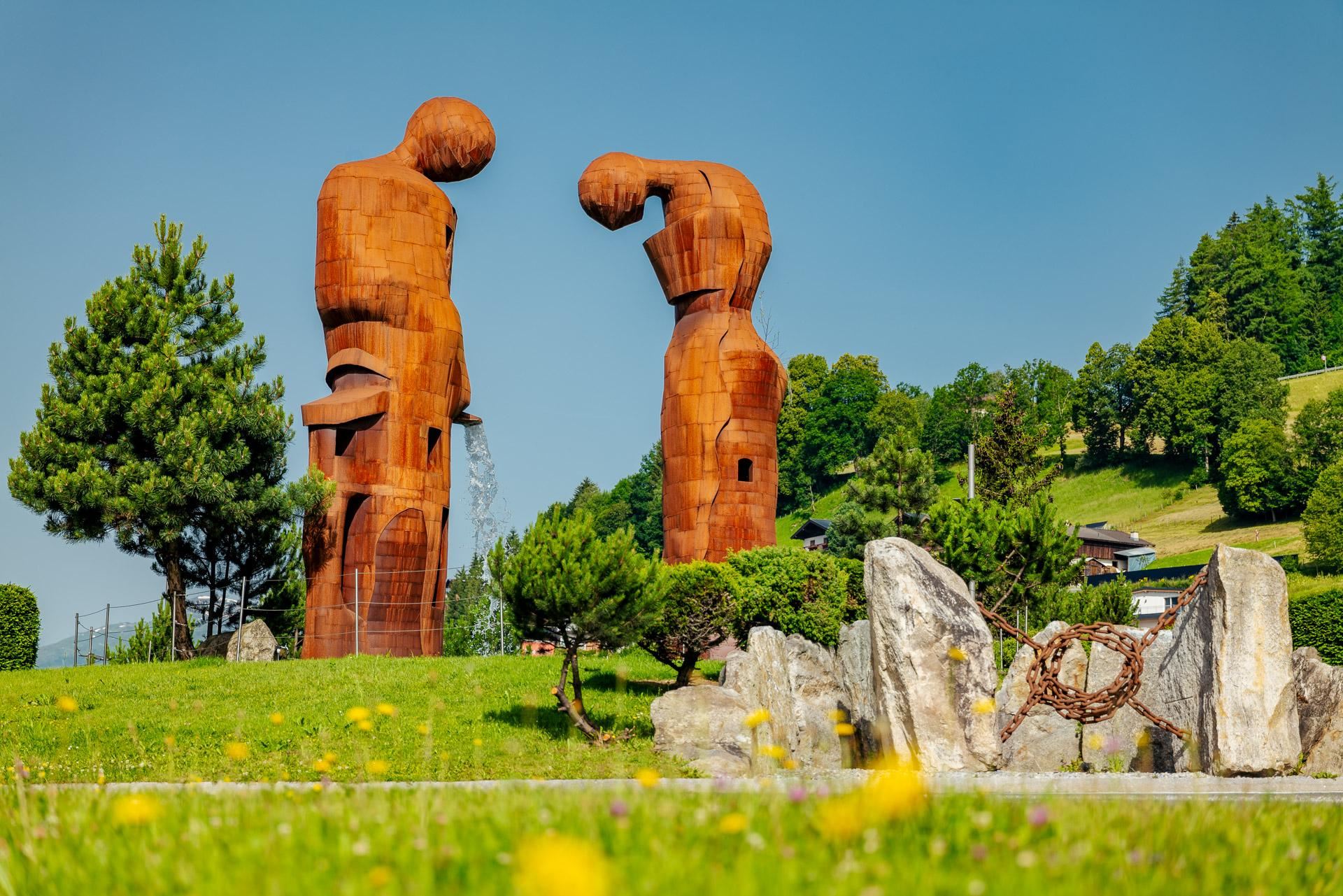
Kreisverkehr Mittersill - Der Wasserfall
A roundabout in Mittersill designed as 'The Waterfall', a modern water feature that has become a small landmark at the entrance to the town.
Nationalparkzentrum Mittersill
The visitor centre of the Hohe Tauern National Park at Mittersill, with interactive exhibits on the glaciers, wildlife and valleys of the high Tauern.
Sommererlebnis Resterkogel
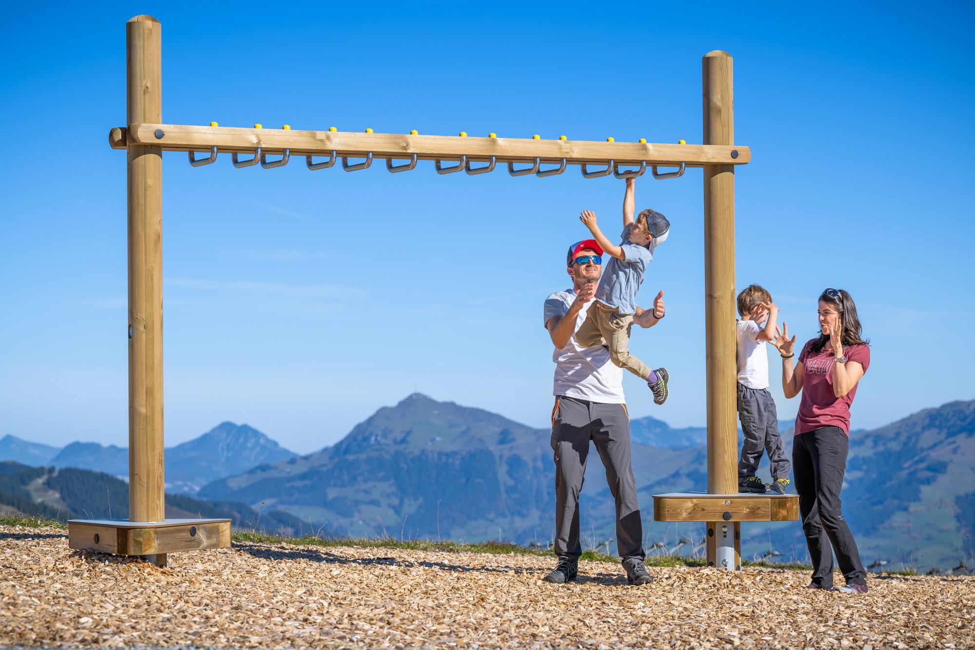
A summer mountain area on the Resterkogel above Pass Thurn, with lift access, playgrounds and trampolines aimed at families with children.
Gamsblickhütte - Jausenstation
A snack station in the Felber valley south of Mittersill, serving home-style Austrian dishes on the way toward the Hintersee.
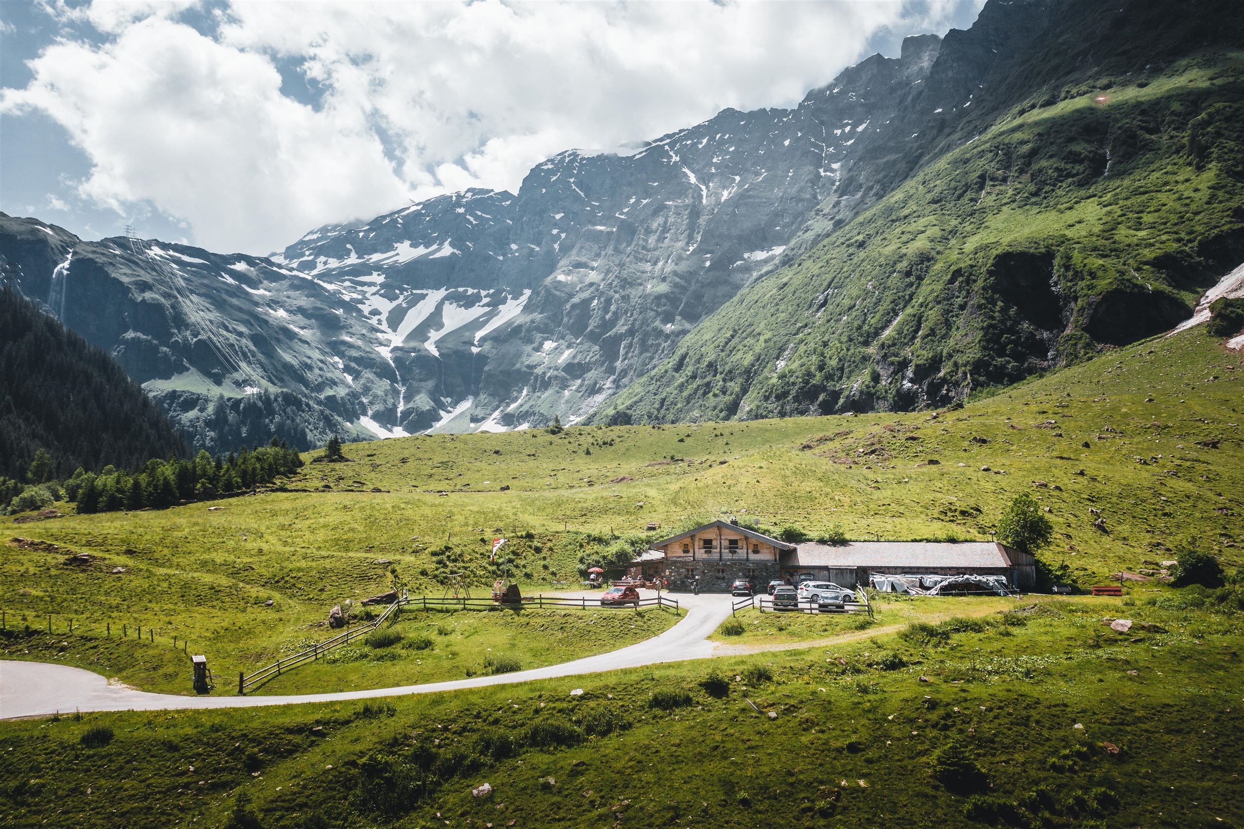
Meilingeralm - 1.300 m
An alm at 1,300 m in the Felber valley south of Mittersill, serving regional dishes on the walking routes toward the Hintersee.
Mooralm
A hut near the Wasenmoos moor in the Pass Thurn area, serving Austrian and regional dishes to walkers in summer and skiers in winter.
Schloss Mittersill
A medieval castle on the hillside above Mittersill in the upper Salzach valley, rebuilt several times and today run as a hotel and restaurant.
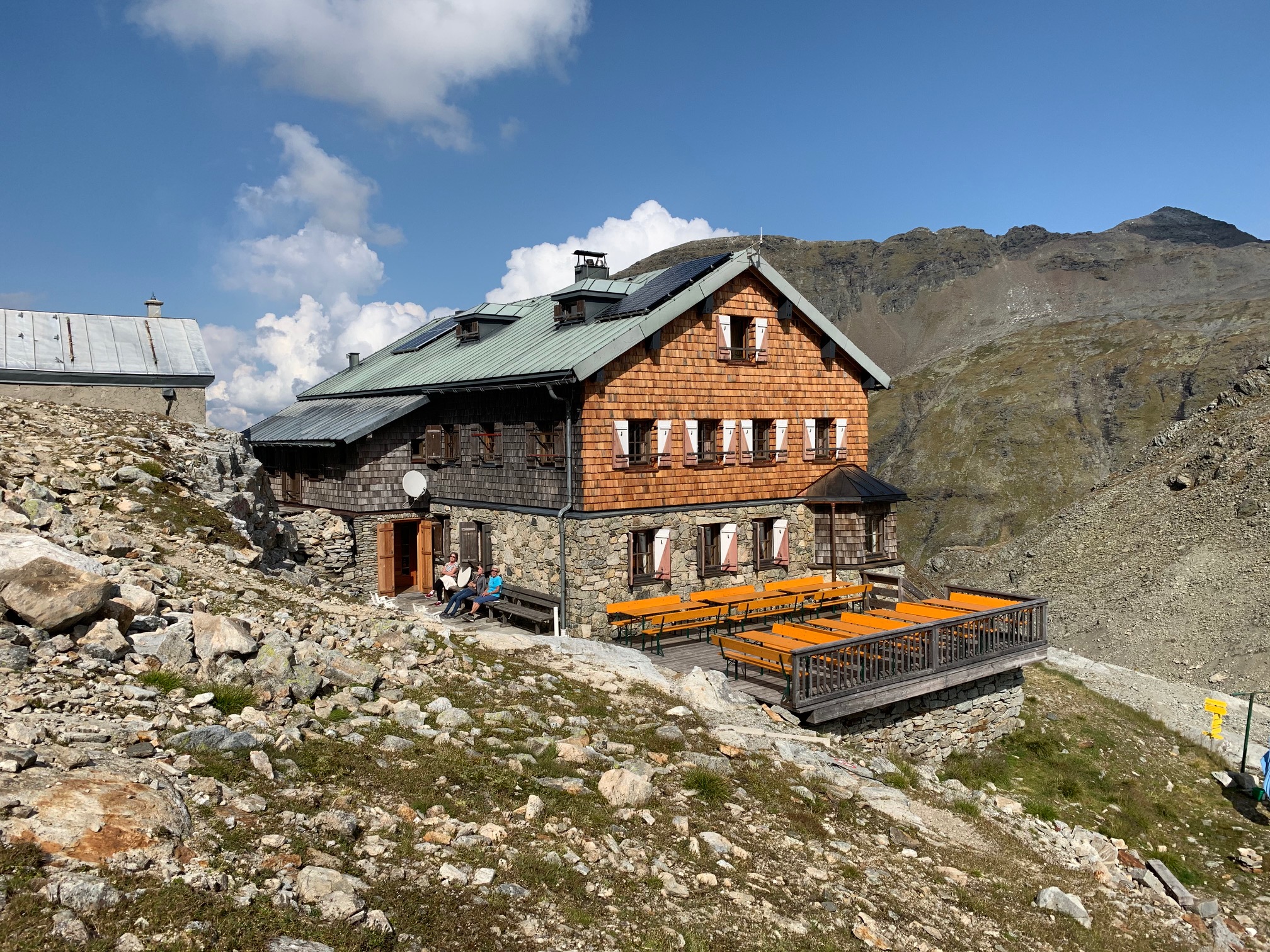
St. Pöltner Hütte 2.481m
An alpine club hut at 2,481 m by the Felber Tauern crossing north of Matrei, on the centuries-old path between Osttirol and the Salzach valley.
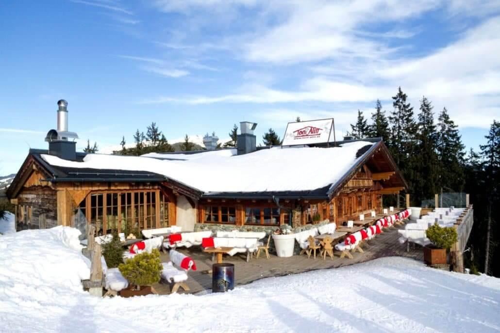
Toni Alm
A ski hut in the Resterhöhe sector above Mittersill, serving Austrian dishes and après-ski beside the pistes of the Kitzbühel Alps.
Goldene Aussichten
A Hohe Tauern National Park viewpoint offer above Mittersill in the Oberpinzgau, listed under the name Goldene Aussichten.
Ölberg unter dem Palfen
A Mount of Olives shrine set beneath the Palfen rock above Mittersill, a devotional site that also serves as a viewpoint over the town.
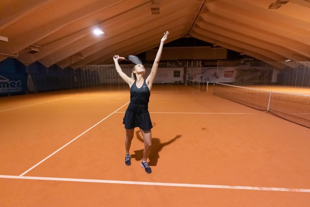
Tennishalle
An indoor sports hall in Mittersill with tennis courts and a climbing wall, a practical option for training and rainy days in the Oberpinzgau.
Museumswelten Hohe Tauern
A museum complex at Mittersill devoted to the Hohe Tauern region, presenting its nature, history and rural life under one roof.
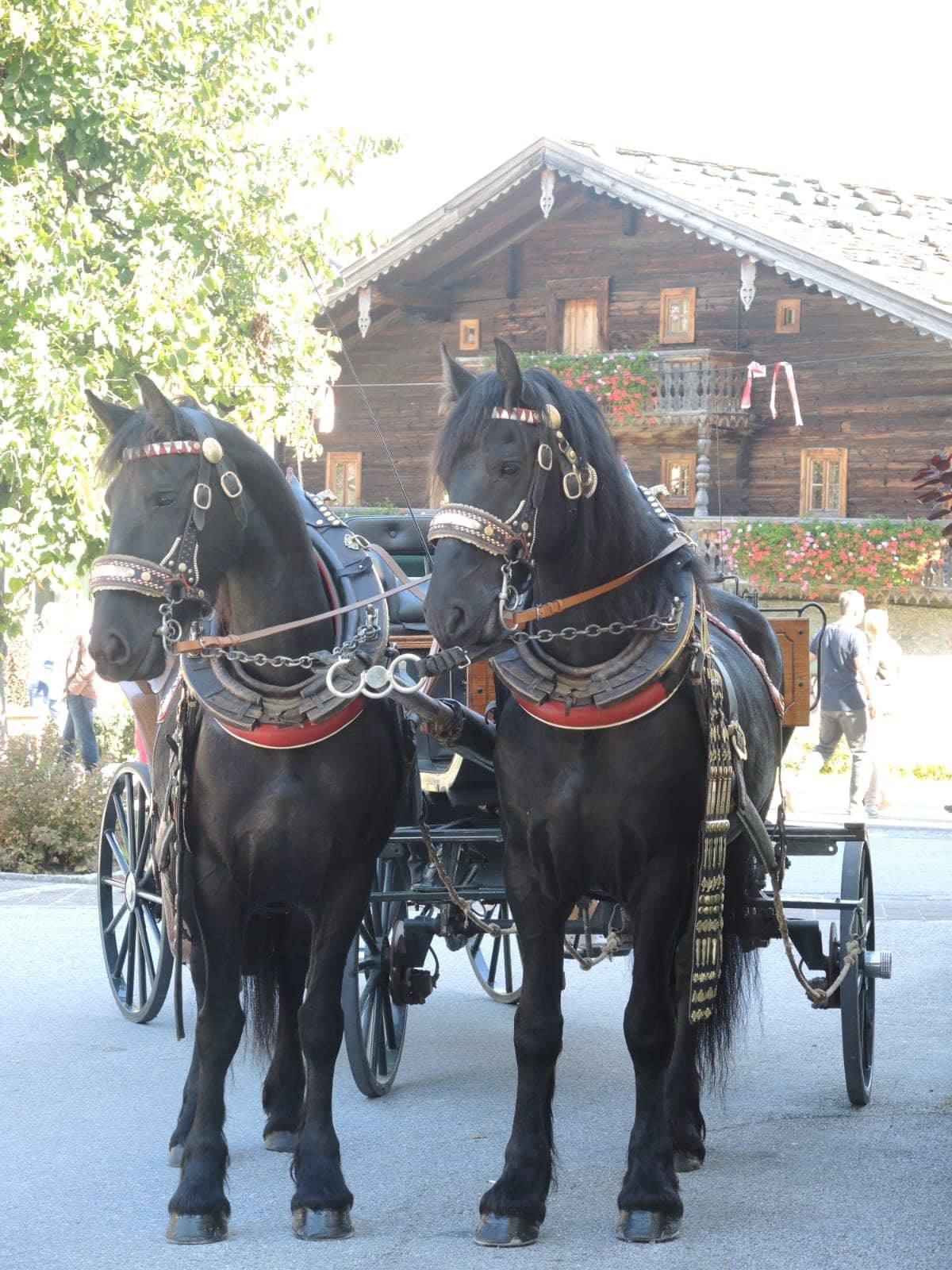
Pferdekutschen-Fahrten
Horse-drawn carriage rides around Mittersill, a gentle way for families to tour the meadows and hamlets of the Oberpinzgau valley floor.
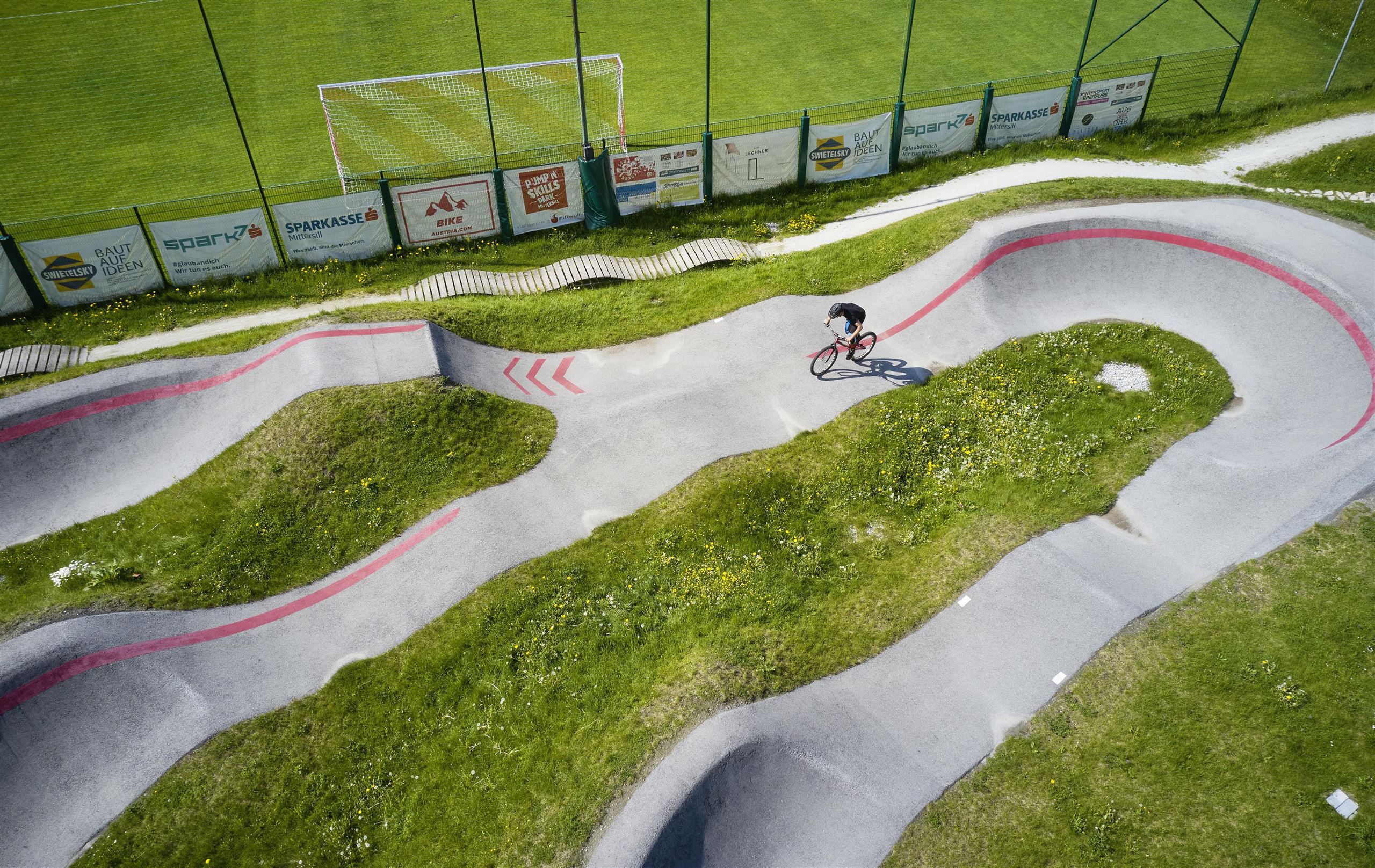
Pumptrack Mittersill
An asphalt pump track in Mittersill for bikes, BMX, skateboards and inline skates, with rollers and berms suited to riders of all ages.
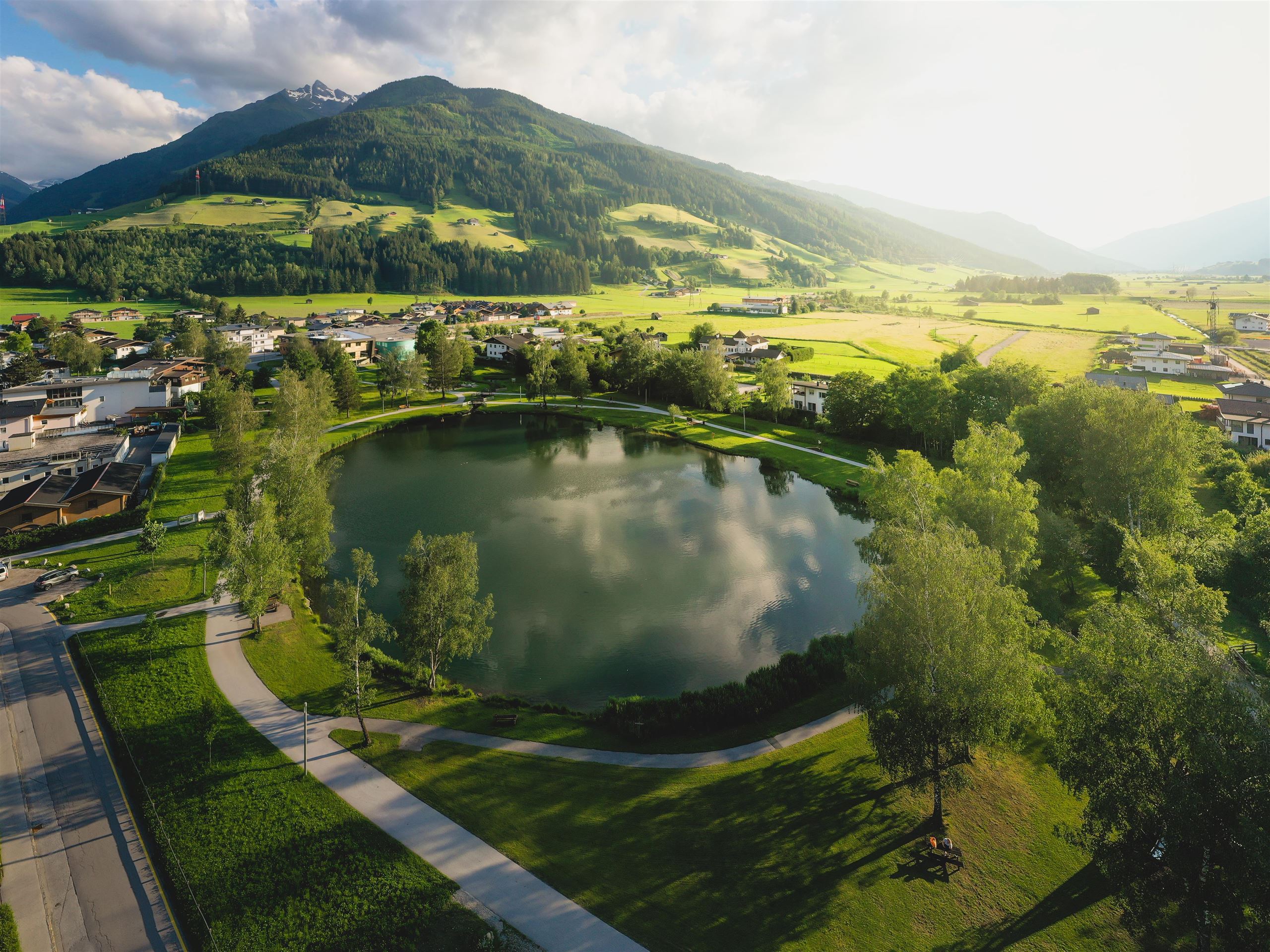
Zierteich Mittersill
An ornamental pond in Mittersill with gardens, fish and a playground beside it, a short strolling destination near the town centre.
Nothing of this kind in Mittersill.
Routes
50 routes, an even mix of activities · see the rest on mittersill.info ↗
Hollersbach: Panoramaalm
An easy ridge walk from the Resterhöhe over the Hartkaserhöhe to the Panoramaalm, passing the Resterhöhe reservoir.
- 6.2 km
- Distance
- 218 m
- Ascent
- 1 h 60 min
- Duration
- 92
- Check-ins
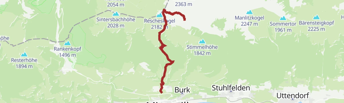
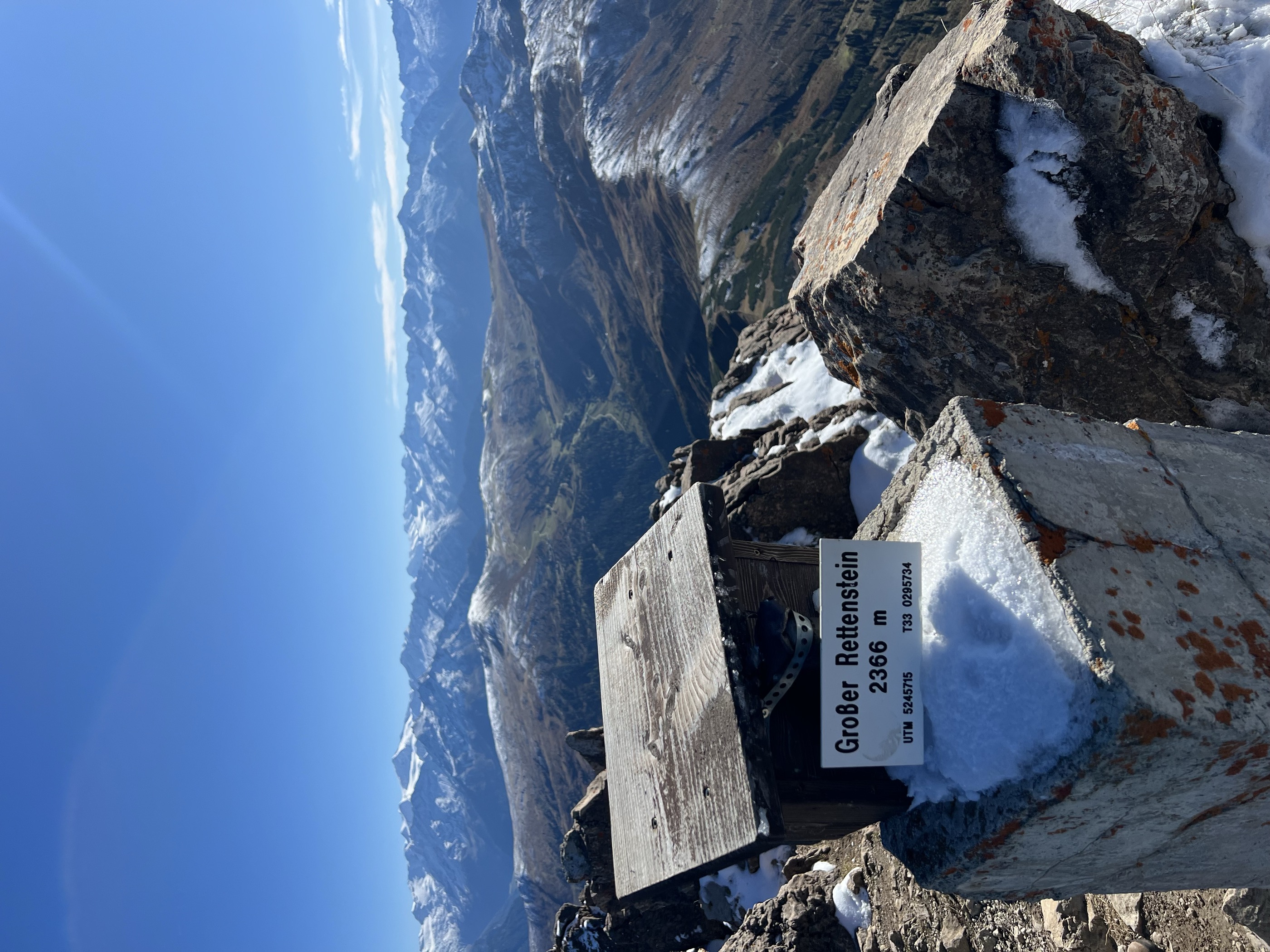
Mittersill: Großer Rettenstein
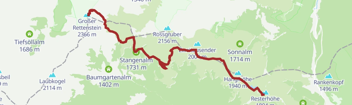
From the Resterhöhe over the Schöntaljoch and Stangenjoch to the 2,366 m Großer Rettenstein, the most distinctive rock summit in the Kitzbüheler Alpen.
- 11.1 km
- Distance
- 846 m
- Ascent
- 4 h 39 min
- Duration
- 101
- Check-ins
Hollersbach: Baumgartenalm Wegnr. 9, 61, 63, 714
From the Panoramabahn top station over the Resterhöhe and the Latschinger Kogl, a two-thousander, then down to the Baumgartenalm in the Mühlbachtal.
- 17.3 km
- Distance
- 250 m
- Ascent
- 5 h 23 min
- Duration
- 75
- Check-ins
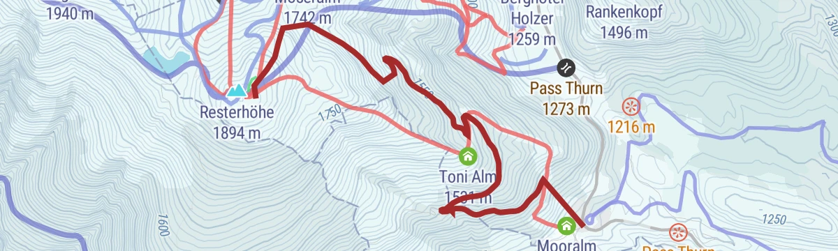
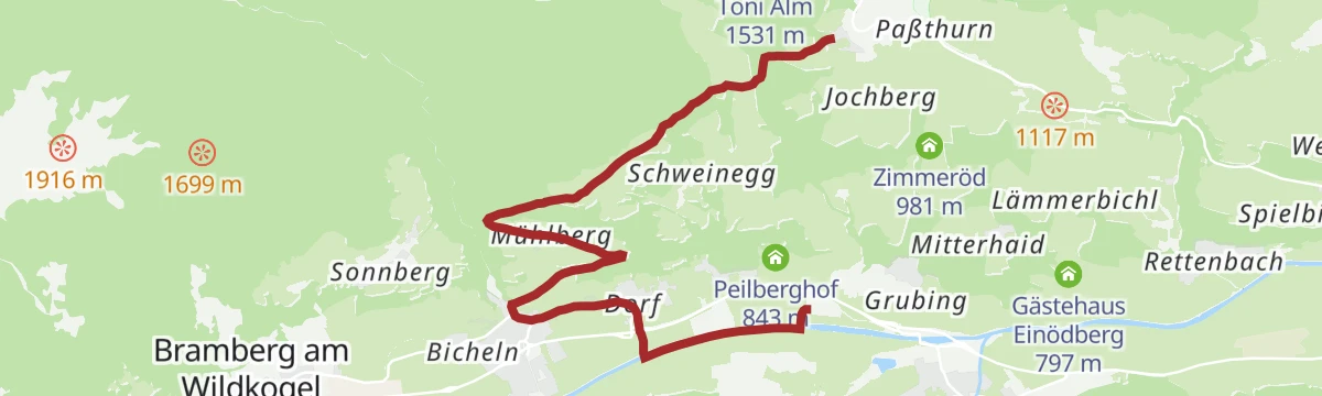
Mittersill: Skitour Toni Alm
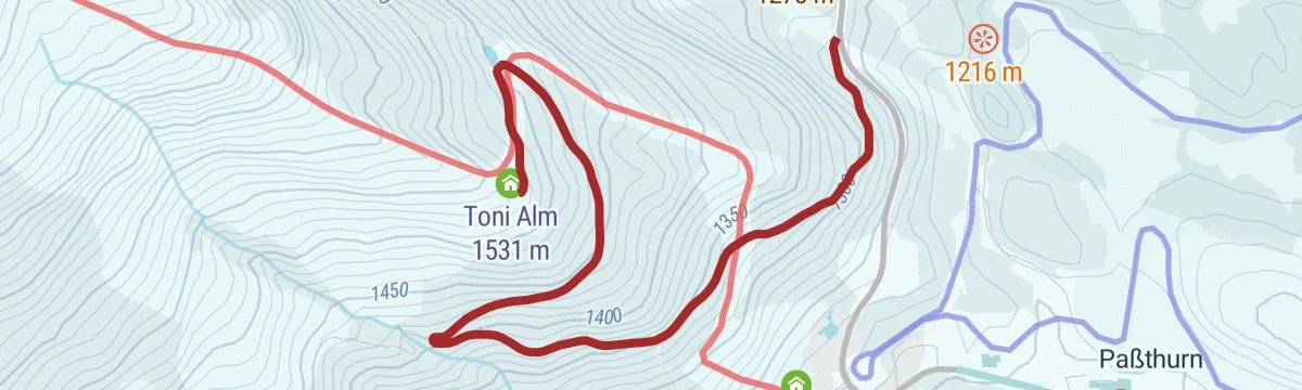
An easy ski tour up a forest road, 263 m of ascent, ending at the Toni Alm where food is served.
- 2.5 km
- Distance
- 259 m
- Ascent
- 0 m
- Descent
- 53 min
- Duration
- 7
- Check-ins
Mittersill: Skitour Resterhöhe Pisten-Tour
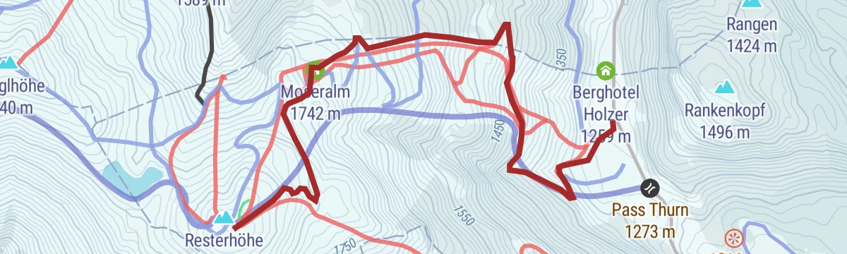
A piste tour following run 70 up to the Resterkogel, 619 m of skinning past the Moseralm.
- 3.7 km
- Distance
- 619 m
- Ascent
- 0 m
- Descent
- 1 h 46 min
- Duration
- 37
- Check-ins
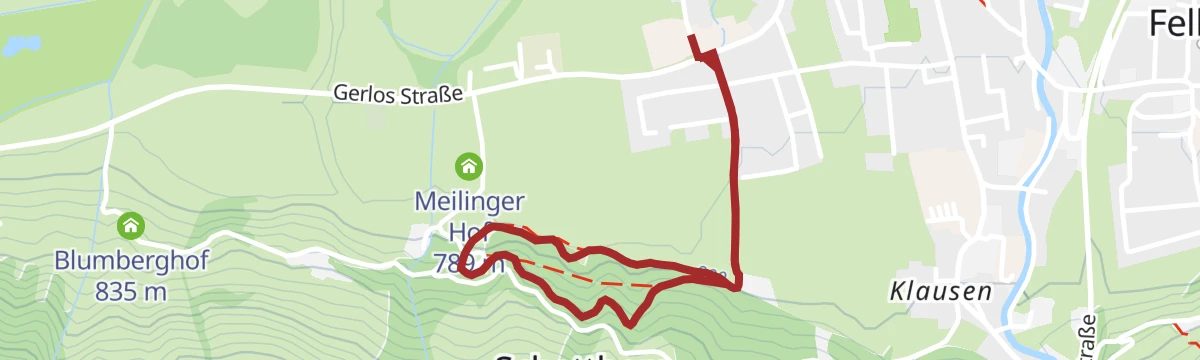
Mittersill: Hintersee Biketour
A climb from Mittersill into the Felbertal towards the Hintersee, passing the Tauernhaus-Spital and the Meilingeralm.
- 11.8 km
- Distance
- 524 m
- Ascent
- 1 h 21 min
- Duration
- 11
- Check-ins
224 | Resterhöhe- Zweitausender
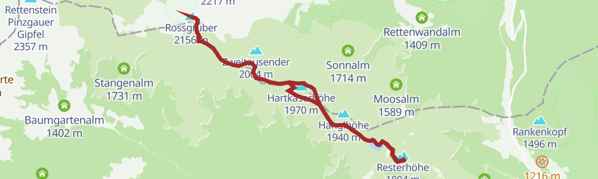
A long climb to two-thousand-metre ground at the Hartkaserhöhe, passing the Resterhöhe reservoir, the Hanglalm and the Sonnalm.
- 13.7 km
- Distance
- 1 047 m
- Ascent
- 2 h 35 min
- Duration
- 36
- Check-ins
11 Rund um das Kitzbüheler Horn
A long road circuit right around the Horn, from the Glemmtal over the Pass Thurn and back through Kitzbühel on the way home.
- 115.9 km
- Distance
- 1 673 m
- Ascent
- 11 h 51 min
- Duration
- 56
- Check-ins
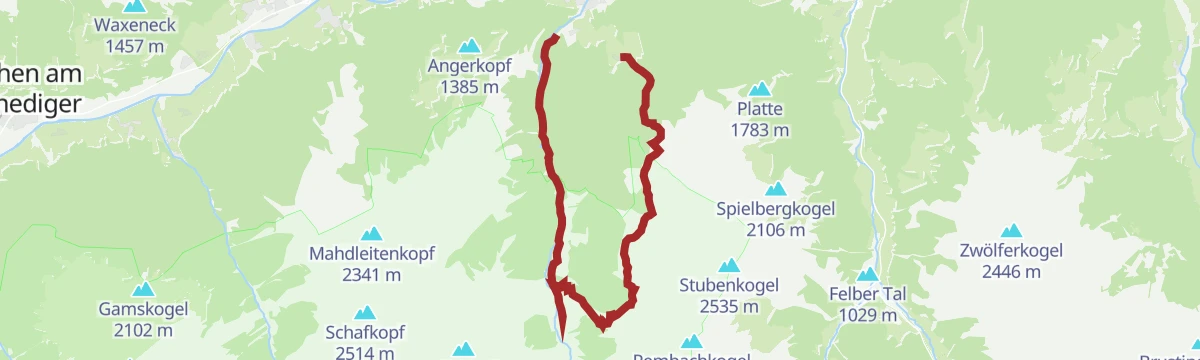
Mittersill: Amerbach
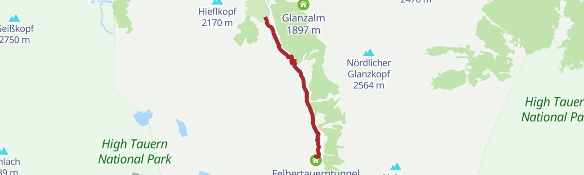
A level streamside walk from the north portal of the Felbertauern tunnel along the Amerbach to the Taimeralm, which is not staffed.
- 3.8 km
- Distance
- 0 m
- Ascent
- 1 h 8 min
- Duration
- 18
- Check-ins
Resterhöhe - Baumgartenalm
About three and a half hours one way from the Panoramabahn top station: waymarks 61, 61A and 4E lead over ground at 2,156 m and down to the Baumgartenalm.
- 11.6 km
- Distance
- 285 m
- Ascent
- 3 h 52 min
- Duration
- 95
- Check-ins
Hollersbach: Pihapper Wegnr. 935
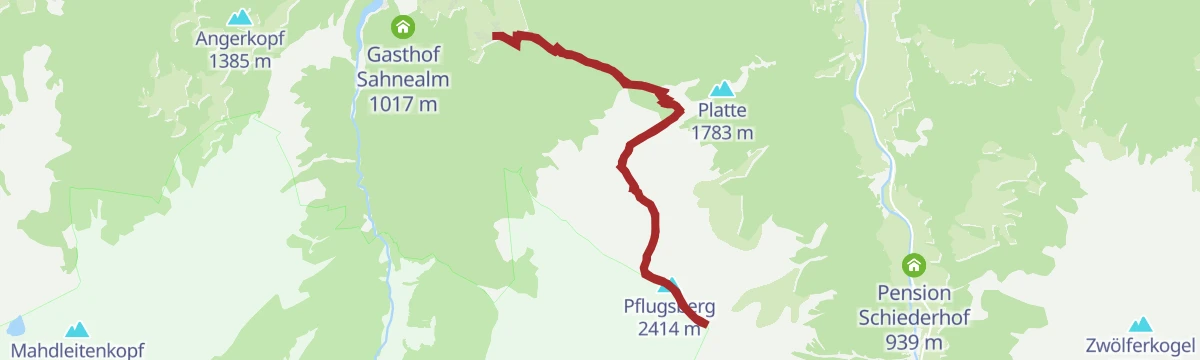
1,400 m of climbing by way of the Pölsenalm and the Pflugsberg to the Pihapper, set between the Hohe Tauern three-thousanders and the Kitzbüheler grass peaks.
- 12.7 km
- Distance
- 1 383 m
- Ascent
- 8 h 23 min
- Duration
- 9
- Check-ins
Resterkogel Skitour
A winter ascent of the Resterkogel near Pass Thurn with around 600 m of skinning, passing the Moseralm — broad slopes looking across to the Hohe Tauern.
- 3.8 km
- Distance
- 623 m
- Ascent
- 623 m
- Descent
- 2 h 6 min
- Duration
- 37
- Check-ins
Hollersbach: Pölsneralm Biketour
A steep climb on forest roads from the valley floor at Hollersbach up to the alm, some 870 m of ascent in under 9 km.
- 8.9 km
- Distance
- 870 m
- Ascent
- 1 h 25 min
- Duration
- 1
- Check-ins
Mittersill: Resterhöhe Biketour
A long climb from Mittersill up to Pass Thurn and on to the Moseralm at 1,742 m below the Resterhöhe, past the Berghotel Holzer.
- 53.5 km
- Distance
- 1 617 m
- Ascent
- 6 h 16 min
- Duration
- 21
- Check-ins
Radtour von Zell am See - Krimml
A long valley ride up the Salzach from Zell am See through Mittersill and Wald to Krimml, at the head of the Oberpinzgau.
- 67.1 km
- Distance
- 741 m
- Ascent
- 6 h 39 min
- Duration
- 24
- Check-ins
 Bergschmied 817 m
 Tagesspeicher Krimmler Ache 1 048 m
- Tourismusinfo Mittersill-Hollersbach-Stuhlfelden 786 m
- Einödhof 768 m
- Rechenmacherhütte 826 m
- Tourismusverband Wald-Königsleiten 875 m
- +5
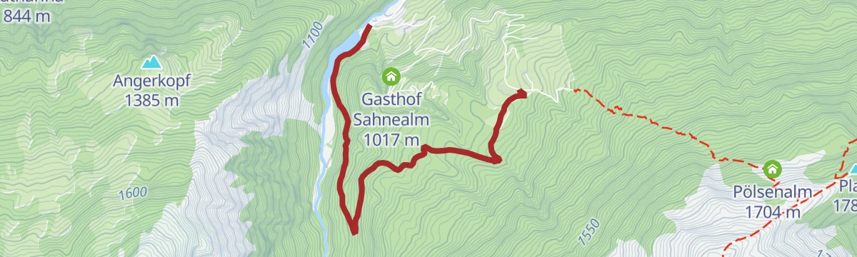
Über den Lachwald zur Sahnealm
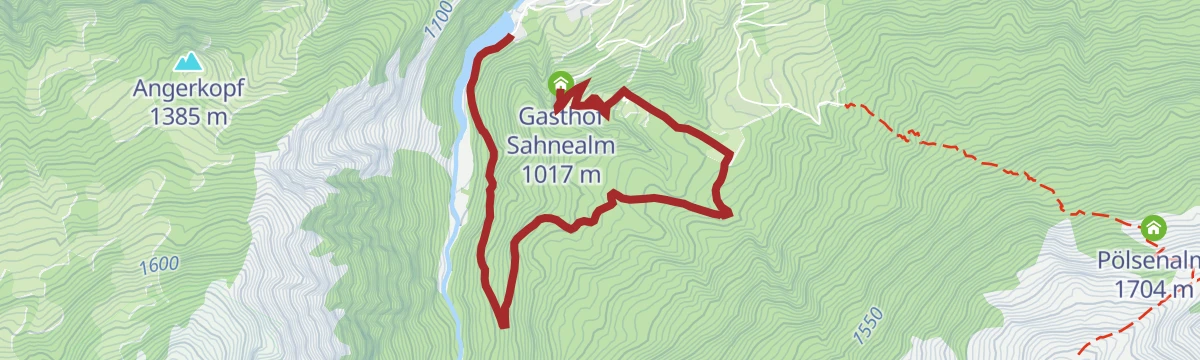
An easy round out of Hollersbach through the Lachwald to the Sahnealm, passing the Hollersbach reservoir and its Seestube.
- 5.1 km
- Distance
- 308 m
- Ascent
- 1 h 52 min
- Duration
- 3
- Check-ins
Mittersill: Roßgruber Wegnr. 61A
A ridge line from the Resterhöhe over the Hartkaserhöhe and Latschinger Kogl to the Rossgruber, 11 km with 530 m of climbing.
- 11.2 km
- Distance
- 479 m
- Ascent
- 3 h 49 min
- Duration
- 88
- Check-ins
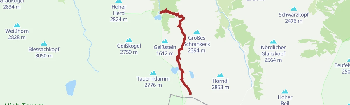
Mittersill: St. Pöltner Hütte Wegnr. 917
An old packhorse route up to the Felber Tauern pass and the St. Pöltner Hütte at 2,481 m, 1,215 m of ascent in 7.3 km.
- 7.3 km
- Distance
- 1 204 m
- Ascent
- 4 h 41 min
- Duration
- 9
- Check-ins
Mittersill: Skitour Resterkogel
666 m of skinning past the Mooralm to the summit cross on the Resterhöhe, looking over the Oberpinzgau and the Hohe Tauern.
- 4.3 km
- Distance
- 661 m
- Ascent
- 0 m
- Descent
- 1 h 56 min
- Duration
- 16
- Check-ins
Mittersill: Pölsneralm Biketour
A steep forest-road climb from the valley floor at Mittersill up to the Pölsneralm, nearly 900 m of ascent in under 14 km.
- 13.9 km
- Distance
- 889 m
- Ascent
- 1 h 46 min
- Duration
Mittersill: Hörgeralm Biketour
A long climb north out of Mittersill to the Högeralm at 1,758 m, by way of the Mooralm and the Panoramabahn mid-station.
- 39.0 km
- Distance
- 1 102 m
- Ascent
- 4 h 30 min
- Duration
- 20
- Check-ins
Hollersbach: Lachwald Wegnr. 22
A flat family walk through the upper Lachwald to the Hollersbach reservoir and its Seestube.
- 4.1 km
- Distance
- 20 m
- Ascent
- 1 h 18 min
- Duration
- 2
- Check-ins
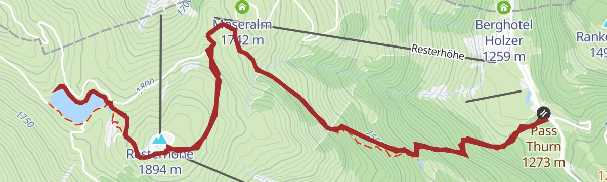
Mittersill: Resterkogel & Bürener Höhe Wegnr. 745
From the Pass Thurn up to the Resterkogel and the Bürener Höhe, with the Resterhöhe reservoir on the route and the Hohe Tauern three-thousanders in view.
- 8.4 km
- Distance
- 684 m
- Ascent
- 4 h 22 min
- Duration
- 62
- Check-ins
Mittersill: Plattachsee
Old packhorse tracks lead from the Hintersee up to the Plattachsee, below a disused pass crossing; 944 m of ascent in all.
- 9.8 km
- Distance
- 920 m
- Ascent
- 5 h 43 min
- Duration
- 8
- Check-ins
Mittersill: Skitour Sonnalm
A ski tour from the Pass Thurn into the KitzSki area, climbing 449 m past the Hanglalm to the Sonnalm.
- 4.9 km
- Distance
- 446 m
- Ascent
- 0 m
- Descent
- 1 h 40 min
- Duration
- 15
- Check-ins
Hollersbach: Hollersbachtal Biketour
A forest-road climb up the Hollersbachtal, passing the Senninger Alm, Sauersteinalm and Rossgrubalm above the Alpengasthaus Edelweiß.
- 36.2 km
- Distance
- 920 m
- Ascent
- 4 h 4 min
- Duration
- 15
- Check-ins
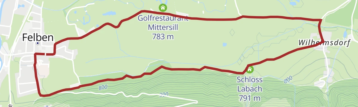
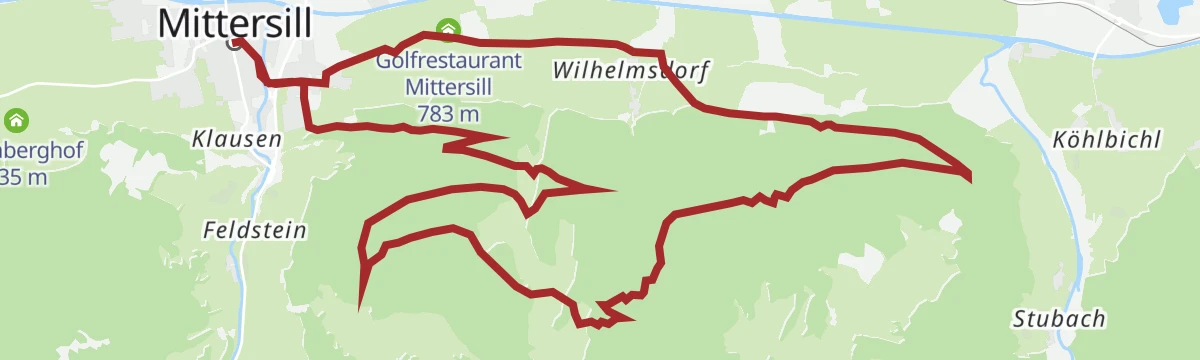
Mittersill: Schloss Lambach Wegnr. 9
A flat round along the edge of the woods to Wilhelmsdorf in Stuhlfelden, passing Schloss Lambach and the golf restaurant.
- 5.7 km
- Distance
- 0 m
- Ascent
- 1 h 21 min
- Duration
- 1
- Check-ins
Hollersbach: Mühlbachtal
A 10.5 km descent from the Resterhöhe down into the Mühlbachtal, with essentially no climbing.
- 10.5 km
- Distance
- 12 m
- Ascent
- 3 h 29 min
- Duration
- 37
- Check-ins
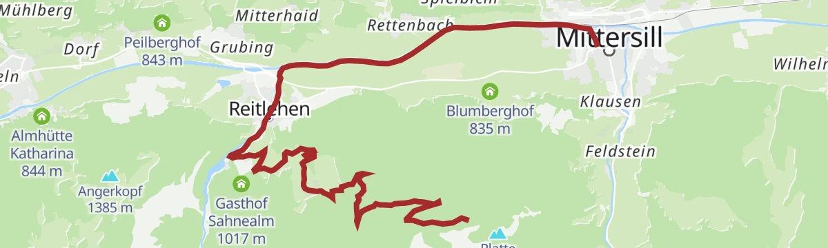
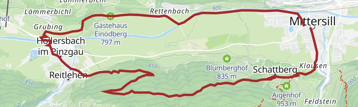
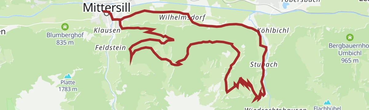
Mittersill: Hohe Tauern Rundweg
A 16 km circuit from Mittersill to Hollersbach and back along the sunny flank of the Kitzbüheler Alpen, with the Hohe Tauern opposite.
- 16.3 km
- Distance
- 456 m
- Ascent
- 4 h 56 min
- Duration
- 6
- Check-ins
Mittersill: Skitour Hanglalm
A gentle 406 m ski tour to the Hanglalm, straightforward enough for a first tour.
- 4.4 km
- Distance
- 404 m
- Ascent
- 0 m
- Descent
- 1 h 30 min
- Duration
- 3
- Check-ins
Mittersill: Rossalm Biketour
A longer forest-road tour from the Salzach valley near Mittersill, running past the Hollersbach reservoir on the way to the alm.
- 22.0 km
- Distance
- 1 019 m
- Ascent
- 2 h 55 min
- Duration
- 3
- Check-ins
Mittersill: Kneipp Aktiv Lehrpfad Wegnr. 58
A 2.5 km level trail around the Kneipp facility at Mittersill, where cold mountain water is on hand for tired legs.
- 2.5 km
- Distance
- 60 m
- Ascent
- 44 min
- Duration
Hollersbach: Breitmoos- Runde Wegnr. 744
Ride the Panoramabahn to the Breitmoos mid-station, then walk downhill to Mühlbach and on to Hollersbach - 8.4 km with almost no ascent.
- 8.4 km
- Distance
- 10 m
- Ascent
- 2 h 23 min
- Duration
- 21
- Check-ins
Hollersbach: Lachalm Höhenweg Wegnr. 20
A 15 km high route across alm pasture past the Senninger Alm and down into the Hollersbachtal to the reservoir.
- 15.5 km
- Distance
- 691 m
- Ascent
- 5 h 50 min
- Duration
- 3
- Check-ins
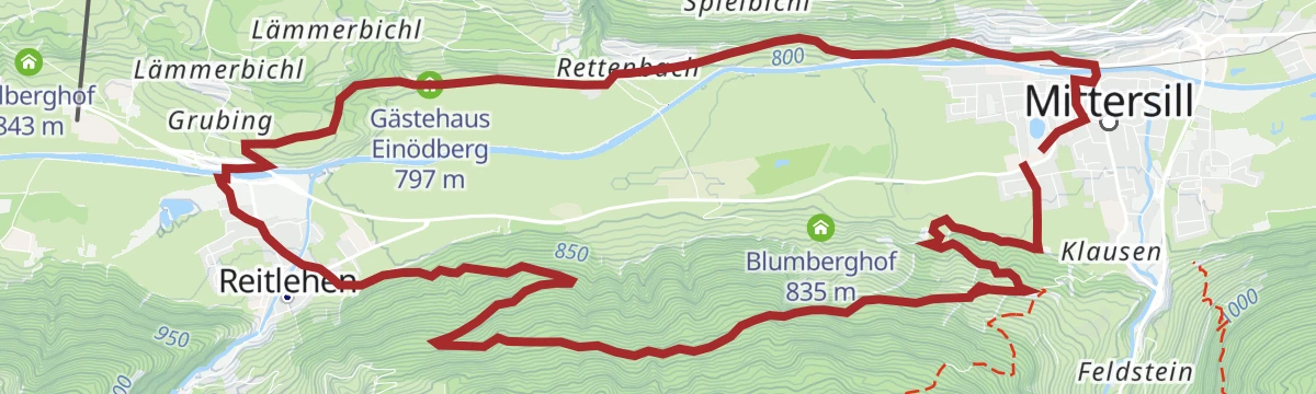
Hollersbach: Lachwald Biketour
A short forest circuit through the Lachwald above Mittersill, starting near the station and climbing to the Gästehaus Einödberg.
- 15.1 km
- Distance
- 402 m
- Ascent
- 1 h 43 min
- Duration
- 2
- Check-ins
Mittersill: Lehrweg Wasenmoos
A 1.8 km level interpretive loop through the Wasenmoos bogs, which lie between 1,200 and 1,500 m below the Hohe Tauern.
- 1.8 km
- Distance
- 22 m
- Ascent
- 28 min
- Duration
Mittersill: Hörgeralm-Plattinger Wegnr. 77
From the Pass Thurn to the Hörgeralm on the Schellenberg, with the Plattinger summit added at the top; 851 m of ascent.
- 10.1 km
- Distance
- 843 m
- Ascent
- 3 h 58 min
- Duration
- 14
- Check-ins
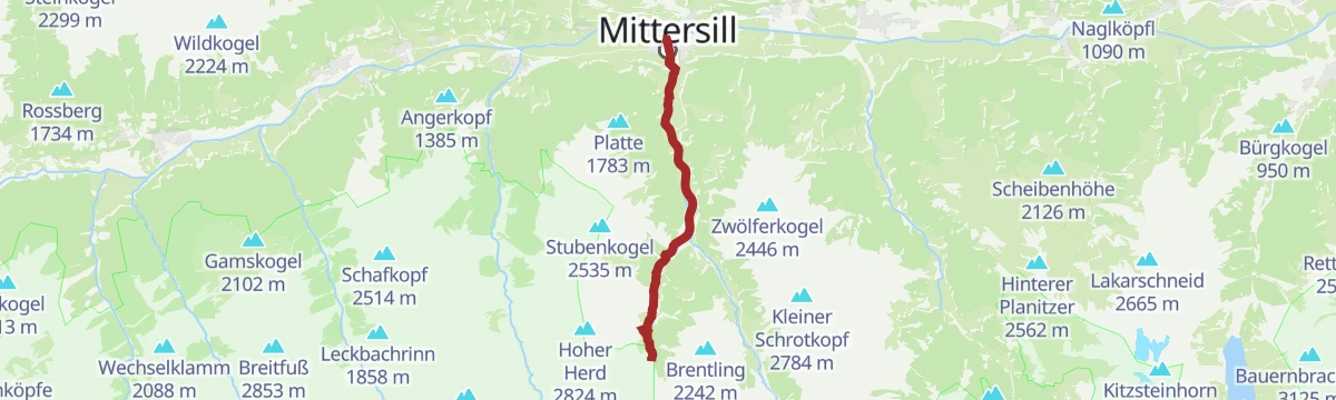
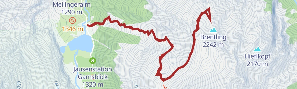
Mittersill: Brentling Wegnr. 917
One summit between two valleys: a demanding 931 m ascent of the Brentling.
- 9.0 km
- Distance
- 929 m
- Ascent
- 5 h 41 min
- Duration
- 1
- Check-ins
Mittersill: Felberberg Biketour
A forest-road climb onto the Felberberg outside Mittersill, starting from the golf course on the floor of the Salzach valley.
- 19.1 km
- Distance
- 624 m
- Ascent
- 2 h 17 min
- Duration
- 1
- Check-ins
Mittersill: Schloss Mittersill Wegnr. 65
A short 2.2 km climb from town up to the old walls of Schloss Mittersill.
- 2.2 km
- Distance
- 142 m
- Ascent
- 58 min
- Duration
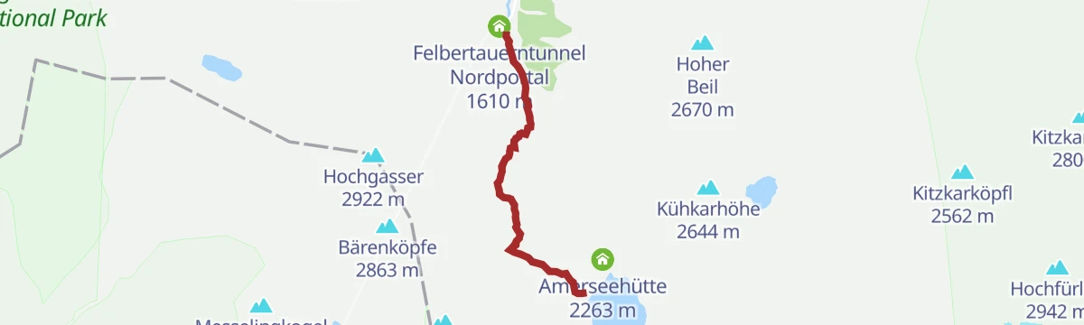
Mittersill: Amertaler See Wegnr. 521
From the north portal of the Felbertauern tunnel, 701 m of climbing to the clear high-mountain Amertaler See at 2,279 m.
- 6.9 km
- Distance
- 685 m
- Ascent
- 4 h 13 min
- Duration
- 12
- Check-ins
Mittersill: Zwölferkogel Wegnr. 530
A long, demanding ascent of the Zwölferkogel southeast of Mittersill, taking in the Birkkogel; 1,651 m of climbing over 15 km.
- 15.0 km
- Distance
- 1 644 m
- Ascent
- 9 h 55 min
- Duration
- 1
- Check-ins
Mittersill: Stubachtal Biketour
A forest-road tour out of Mittersill into the Stubachtal, following the Salzach downstream before turning south into the side valley.
- 28.5 km
- Distance
- 839 m
- Ascent
- 3 h 19 min
- Duration
- 1
- Check-ins
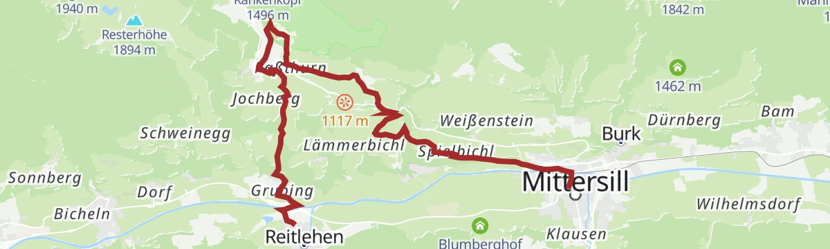
Etappe 10: Alpina Antica Trail | ET10: Hollersbach - Mittersill
Stage 10 climbs from Hollersbach past mountain farms and a bee-keeping trail to the Pass Thurn, then drops through moorland and forest into Mittersill.
- 13.8 km
- Distance
- 486 m
- Ascent
- 4 h 27 min
- Duration
- 9
- Check-ins
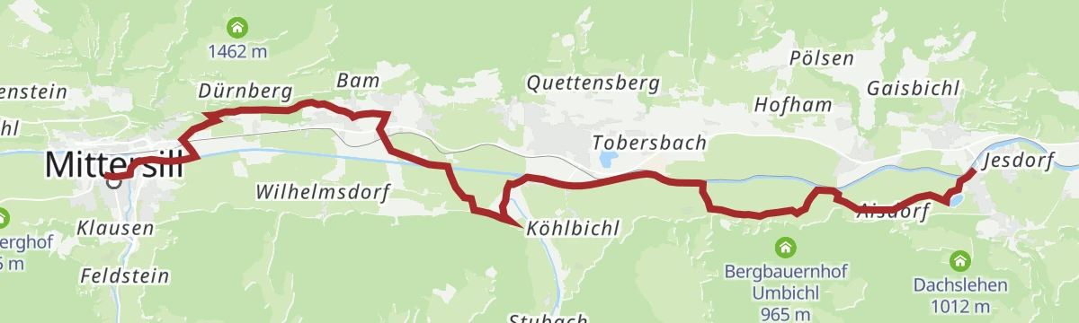
Etappe 11: Alpina Antica Trail | ET11: Mittersill - Niedernsill
Stage 11 turns east away from the Felbertauern trade route and follows the Salzachtal from Mittersill through the valley villages to Niedernsill.
- 16.9 km
- Distance
- 174 m
- Ascent
- 4 h 24 min
- Duration
Mittersill: Panorama Biketour
A forest-road tour out of Mittersill climbing towards Pass Thurn at the eastern end of the Oberpinzgau, with a viewpoint at the top.
- 26.5 km
- Distance
- 803 m
- Ascent
- 3 h 6 min
- Duration
Über die Schößwendklamm zum Hintersee
Through the Schößwendklamm gorge to the Hintersee, a lake formed by a rockfall and hemmed in by steep walls.
- 8.3 km
- Distance
- 263 m
- Ascent
- 2 h 36 min
- Duration
- 6
- Check-ins
Mittersill: Maurerkogel Wegnr. 79
A 938 m ascent of the Maurerkogel at 2,129 m, looking into the Hohe Tauern national park on one side and towards Tirol on the other.
- 12.2 km
- Distance
- 938 m
- Ascent
- 6 h 6 min
- Duration
Hollersbach: Platte Wegnr. 935
A moderate climb by way of the Pölsenalm to the Platte, the ridge standing directly south of Mittersill above the Salzach valley.
- 7.0 km
- Distance
- 656 m
- Ascent
- 4 h 5 min
- Duration
- 4
- Check-ins
Stuhlfelden: Sintersbachscharte Wegnr. 713, 702
A steep 1,128 m route through the Rosswegscharte and Sintersbachscharte, in the alm country below the Rescheskogel, ending at the Bürglhütte.
- 7.9 km
- Distance
- 1 120 m
- Ascent
- 5 h 4 min
- Duration
No routes of this kind in Mittersill yet.
The region's own picks

Featured route
Hollersbach: Panoramaalm
An easy ridge walk from the Resterhöhe over the Hartkaserhöhe to the Panoramaalm, passing the Resterhöhe reservoir.
Planning a trip to Mittersill?
Everything else Salzburg (state) has, in one place


Take Mittersill with you into the mountains
Every route on this page with 3D terrain, GPX navigation and offline maps — including the valleys with no signal.
Data sources
- Official website: mittersill.info ↗
- Routes and highlights: Nationalparkregion Mittersill, Nationalpark, Kitzbühel Tourismus, Wilder Kaiser Tourismus, Osttirol Tourismus, Hochkönig Tourismus, Wildkogel-Arena, Zell am See-Kaprun Tourismus
- Published as open data by the tourist boards named above.
- Region summary generated from the board's own material.
