
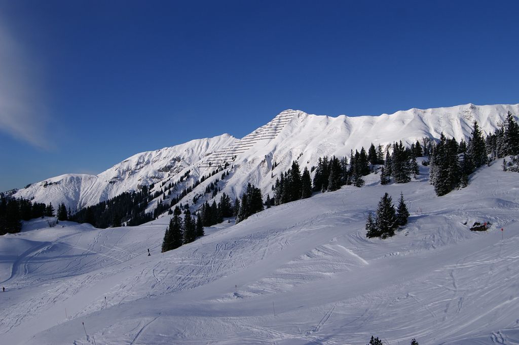
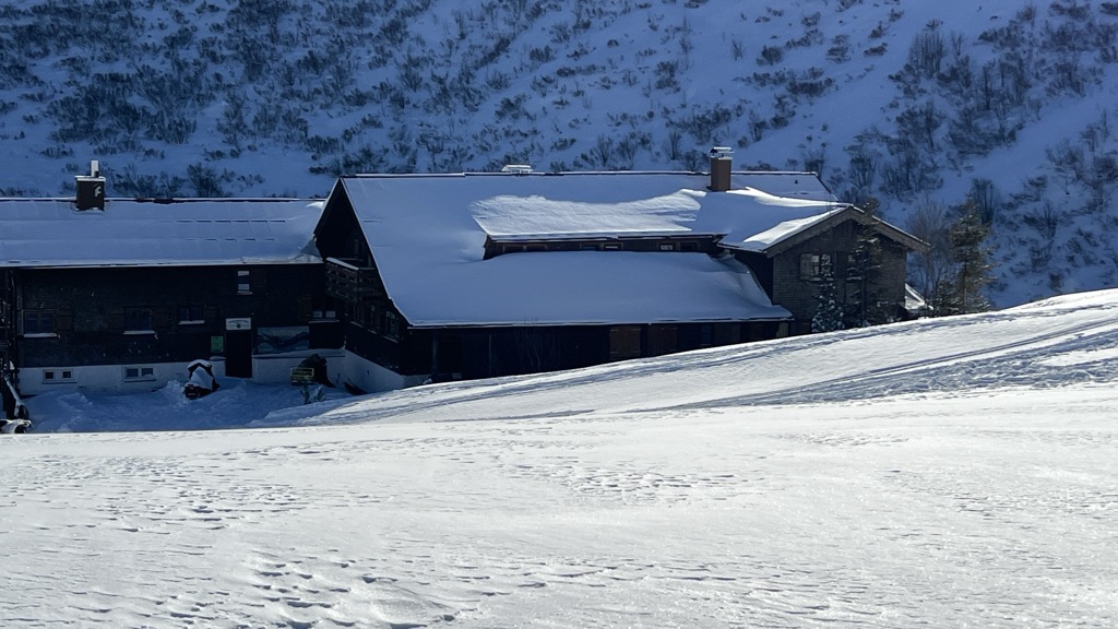
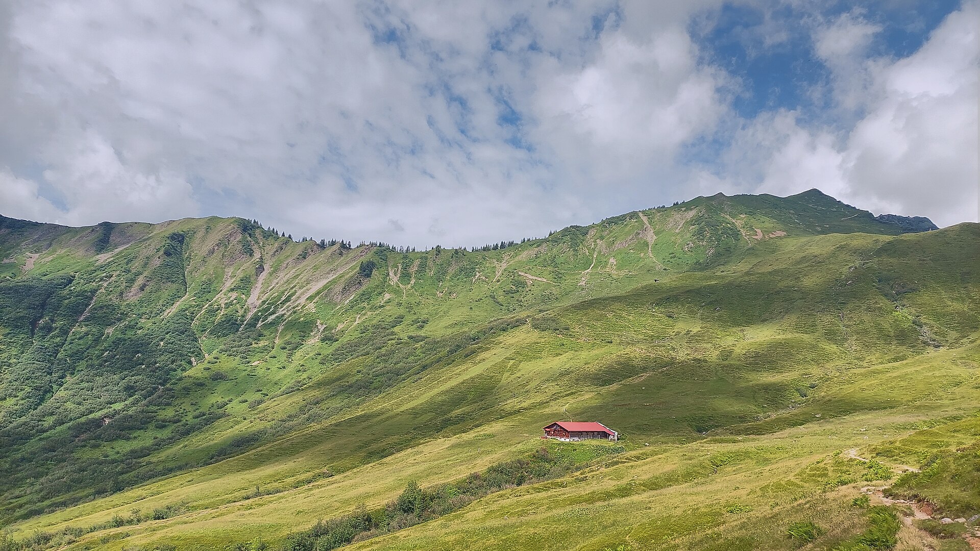
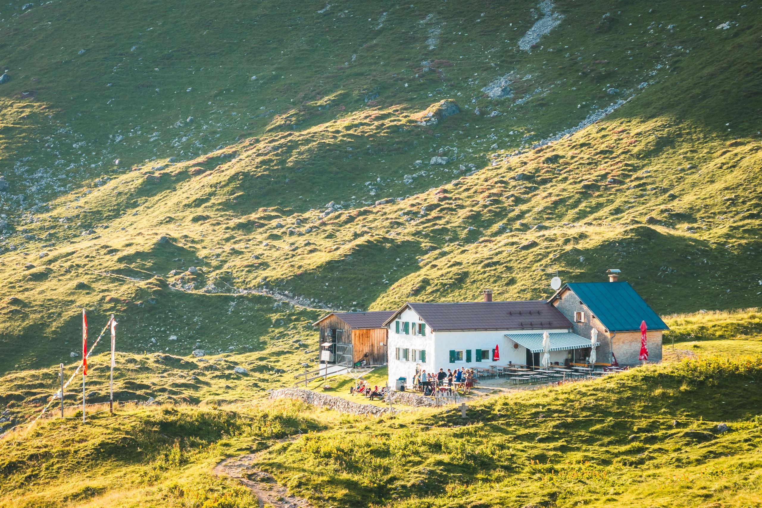
 Mountain hut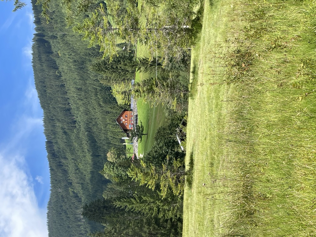
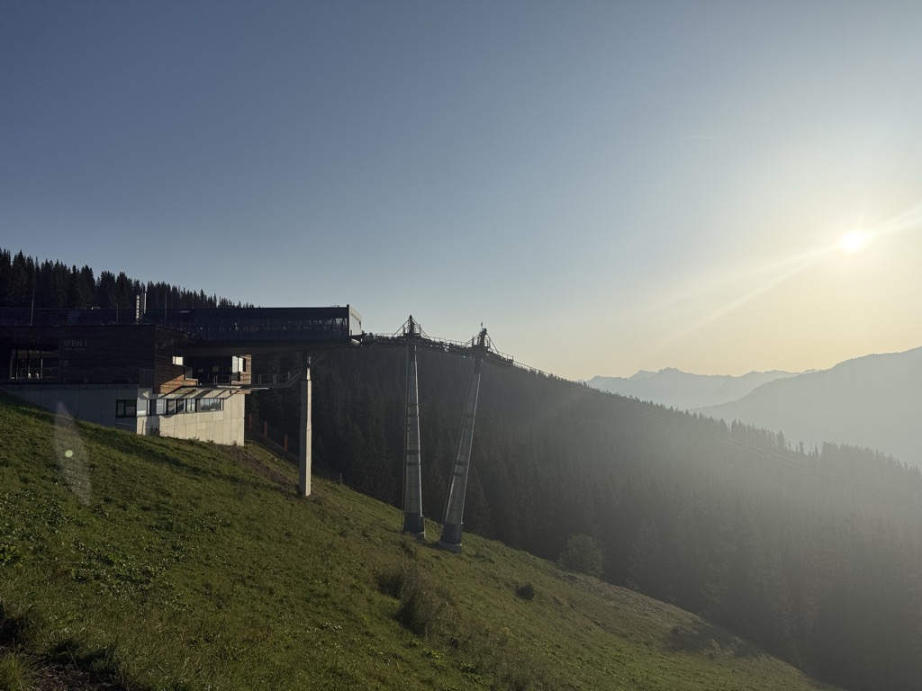
 Cable car
 Mountain pass














Curated by Vorarlberg Tourismus
Mittelberg
The main municipality of the Kleinwalsertal — Riezlern, Hirschegg, Mittelberg and Baad — a Walser valley reachable by road only through Bavaria.
- 18Highlights
- 42Routes
- Featured summit · Widderstein
Highlights
Grünhorn
A 2,039 m mountain of the Allgäu Alps at the head of the Duratal, and a much-used ski objective from Baad.
Güntlespitze
A 2,092 m grass summit of flysch in the Allgäu Alps, in the chain that closes Baad to the west.
Heiterberg
A 2,188 m summit of the Walsertal mountains, standing in the chain that closes the hamlet of Baad to the west.
Hoher Ifen
A 2,230 m mountain west of the valley, its tilted limestone table unmistakable, with a small ski area below it in winter.
Höferspitze
A 2,131 m secondary top of the Heiterberg, climbed from Baad in winter and from the Hochtannbergpass in summer.
Ifenhütte
A hut at 1,600 m below the Hoher Ifen, less than three kilometres from the valley floor.
Mahdtalhaus
A house at 1,050 m in the hamlet of Innerschwende, the starting point for ski tours into the Gottesacker country.
Schwarzwasserhütte
A refuge of the Swabian section of the German Alpine Club at 1,620 m, ringed by the Steinmandl, the Grünhorn and the Hoher Ifen.
Starzelalpe
An alp at 1,678 m five kilometres west of the villages, on the high ground below the Starzeljoch.
Steinmandl
A 1,982 m secondary top of the Grünhorn above the Schwarzwassertal, reached on skis from the Ifen car park.
Stutzalpe
An alp at 1,500 m on the slopes above the villages, a little over two kilometres from the valley floor.
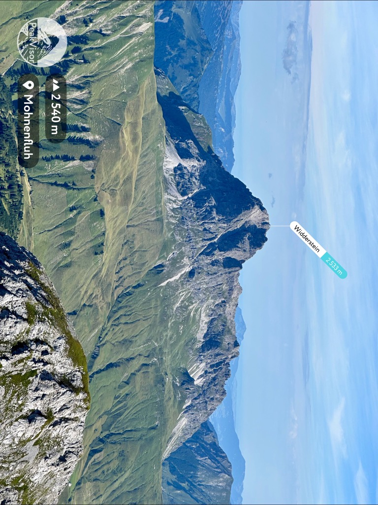
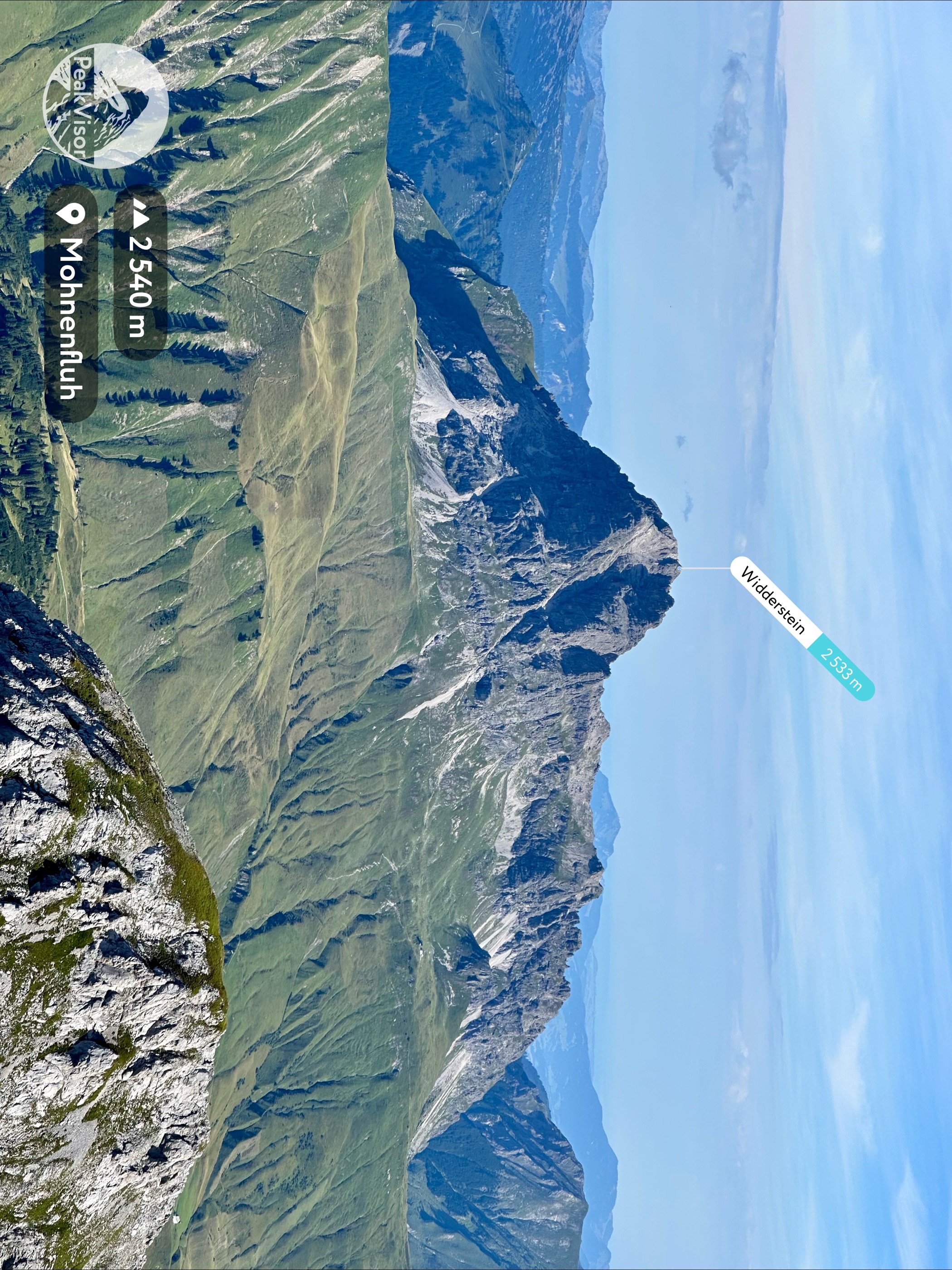
Widderstein
At 2,533 m the highest of the south-eastern Walsertal mountains, and the peak that closes the head of the valley.
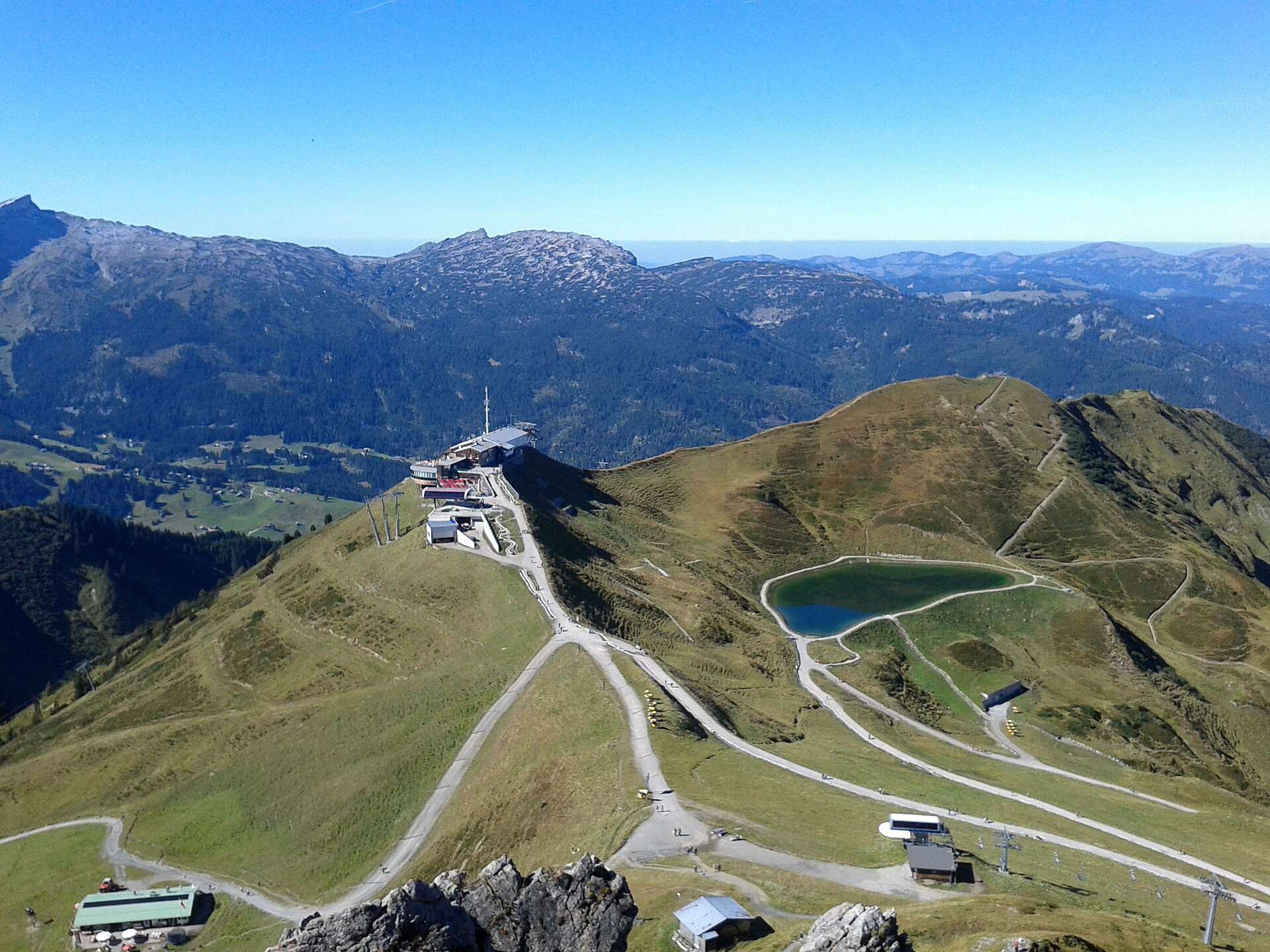
Kanzelwandbahn
An aerial cableway at Riezlern, built in 1954 and still the main way onto the Kanzelwand ridge.
PeakVisor / OpenStreetMapGüntlejoch
A saddle at 2,054 m at the head of the Derratal, crossed on the ski tour to the Güntlespitze.
Karlstor
A gap at 2,110 m on the divide between the Bärgunt and Gemstel valleys, five kilometres south of the villages.
Südliches Derrenjoch
A gap at 2,013 m on the ridge above the Derratal, close to the Güntlejoch on the valley's south-western rim.
Üntschenpass
A pass at 1,854 m over the Allgäu Alps, joining the Bregenzerwald to the Kleinwalsertal.
Widdersteinhütte
A mountain hut at about 2,000 m below the Großer Widderstein near Warth, a stop for hikers crossing between the Bregenzerwald and the Kleinwalsertal.
Nothing of this kind in Mittelberg.
Routes
Kanzelwand-Erlebnis-Klettersteig
A moderate grade B–C route on the Kanzelwand, laid out for people new to via ferrata and for unhurried climbing.
- 1.7 km
- Distance
- 147 m
- Ascent
- 1 h 12 min
- Duration
Open route Vorarlberg TourismusMindelheimer Klettersteig
An alpine grade-C via ferrata over the Schafalpenköpfe, not secured for its whole length and long enough to demand experience.
- 10.6 km
- Distance
- 595 m
- Ascent
- 7 h 42 min
- Duration
Open route Vorarlberg TourismusZwei-Länder-Sportklettersteig
A demanding grade-D sport route up the vertical north face of the Kanzelwand, cabled the whole way after an easier entry ramp.
- 3.9 km
- Distance
- 385 m
- Ascent
- 3 h 1 min
- Duration
Open route Vorarlberg TourismusWarth | 3 Pässe Tour (Koblat-, Gemstel- und Hochalppass)
Three passes in one day from Gehren: first the Koblatpass, then the Gemstelpass, and after the Widdersteinhütte the Hochalppass with its lake, finishing at the Hochtannbergpass.
- 12.1 km
- Distance
- 823 m
- Ascent
- 5 h
- Duration
- 48
- Check-ins
Alpine Hüttenwanderung Bregenzerwald | Widdersteingebiet (Etappe 2)
Middle day of a three-day hut walk in the Widderstein group, from the Schwarzwasserhütte over the Ochsenhofer Scharte and the Hochalppass to the Widdersteinhütte.
- 13.5 km
- Distance
- 1 067 m
- Ascent
- 6 h 11 min
- Duration
- 94
- Check-ins
Hohtannenbergpass - Höferspitze
From Hohtannenbergpass at 1,666 m, 522 m of ascent over 3.5 km to Höferspitze.
- 2.9 km
- Distance
- 0 m
- Ascent
- 0 m
- Descent
- 42 min
- Duration
Open route PeakVisor tTRL (OpenStreetMap piste_type=skitour)Auenhütte - Hoher Ifen
From Auenhütte at 1,271 m, 8 km and 964 m of climbing to Hoher Ifen at 2,201 m.
- 6.6 km
- Distance
- 0 m
- Ascent
- 0 m
- Descent
- 1 h 36 min
- Duration
Open route PeakVisor tTRL (OpenStreetMap piste_type=skitour)Skitour vom Mahdtalhaus auf das Toreck
A tour in the Gottesacker country, starting at the Mahdtalhaus in the hamlet of Innerschwende and taking the open slope directly.
- 8.3 km
- Distance
- 952 m
- Ascent
- 952 m
- Descent
- 3 h 30 min
- Duration
Open route Vorarlberg TourismusWarth | Widderstein Rundtour (2.533 m)
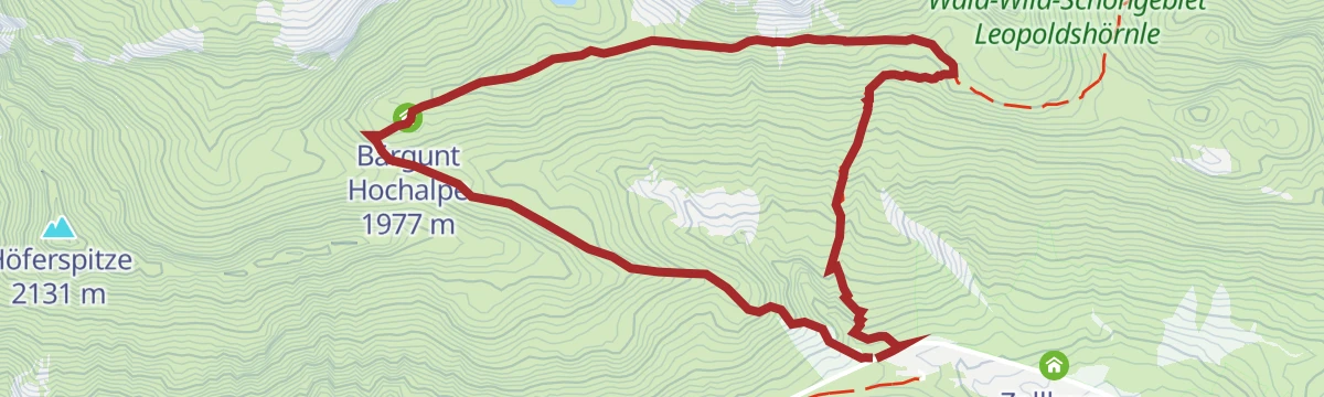
A circuit under the Widderstein by way of the Hochalppass, passing the Bärgunt Hochalpe and both of the Widderstein huts.
- 7.1 km
- Distance
- 881 m
- Ascent
- 1 h 59 min
- Duration
- 65
- Check-ins
Kleinwalsertalrunde
A long road circuit out of the Kleinwalsertal over the Oberjoch pass, the watershed between the Wertach and the Iller.
- 118.0 km
- Distance
- 2 066 m
- Ascent
- 12 h 25 min
- Duration
- 224
- Check-ins
Warth | Sonnenuntergangstour zum Hochalpsee
Evening version of the climb to the Hochalpsee by the Widdersteinhütte and the Hochalppass; a headlamp is advised for the way back.
- 5.5 km
- Distance
- 393 m
- Ascent
- 2 h 35 min
- Duration
- 43
- Check-ins
Warth | Rund um den Widderstein
Full circuit of the Widderstein from the Hochtannbergpass, crossing the Hochalppass into the Kleinwalsertal at Baad and coming back over the Gemstelpass by the Widdersteinhütte.
- 16.6 km
- Distance
- 1 110 m
- Ascent
- 7 h 29 min
- Duration
- 68
- Check-ins
Schwarzwasserhütte - Hählekopf
From Schwarzwasserhütte at 1,625 m, 2.6 km and 421 m of climbing to Hählekopf at 2,050 m.
- 2.4 km
- Distance
- 0 m
- Ascent
- 0 m
- Descent
- 35 min
- Duration
Open route PeakVisor tTRL (OpenStreetMap piste_type=skitour)Skitour vom Höfle auf die Kuhgehrenspitze
From the Höfle at the Wildental lift, up the piste to the mid-station and then onto the Kuhgehrenspitze.
- 6.2 km
- Distance
- 782 m
- Ascent
- 780 m
- Descent
- 2 h 48 min
- Duration
Open route Vorarlberg TourismusSkitour vom Schwendle auf die Fiderescharte
A ski tour into the Wildental for experienced parties, up past the Wiesalpe on the summer path towards the Fiderescharte.
- 9.7 km
- Distance
- 1 067 m
- Ascent
- 1 037 m
- Descent
- 3 h 58 min
- Duration
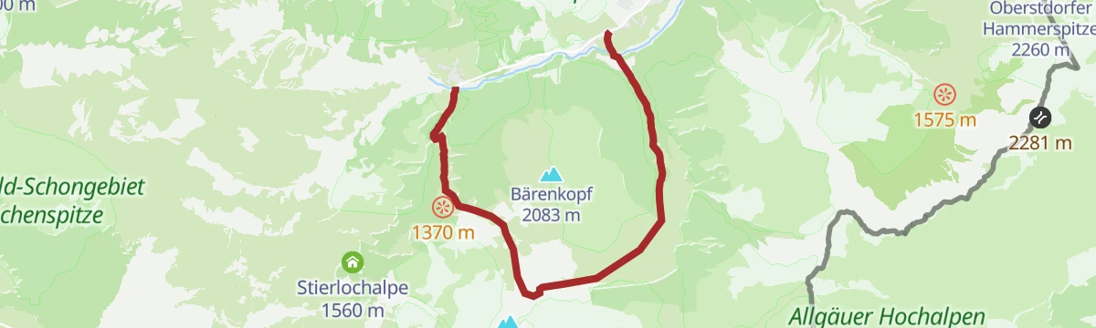
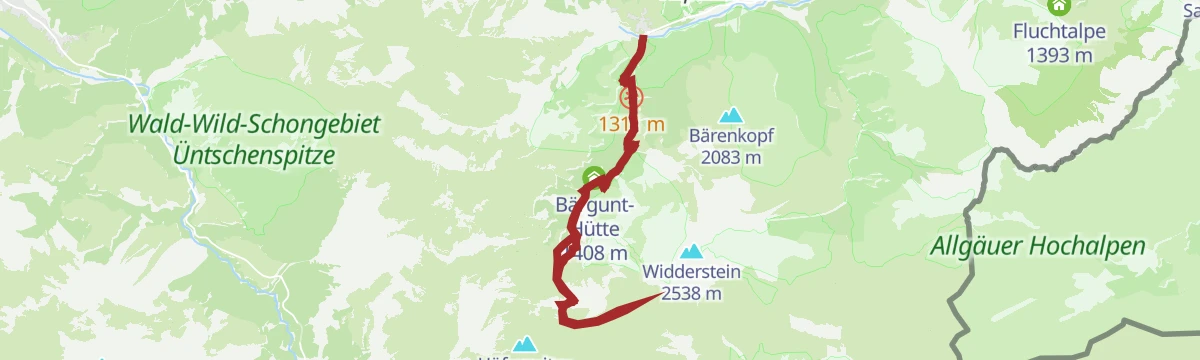
Open route Vorarlberg TourismusFeierabend-Tour zur Bärgunthütte im Kleinwalsertal
An unhurried evening ride up the Bärgunttal to the hut, easy enough to be done on an e-bike after work.
- 21.2 km
- Distance
- 453 m
- Ascent
- 2 h 18 min
- Duration
Open route Vorarlberg TourismusMin Weag 09 | Mittelberg – Hochtannberg
A stage of the Min Weag long-distance path, up the Bärgunttal to the Hochalppass and down to the Hochtannbergpass.
- 10.9 km
- Distance
- 859 m
- Ascent
- 4 h 41 min
- Duration
Open route Vorarlberg TourismusAu-Schoppernau | Diedamskopf – Schwarzwasserhütte
From the Diedamskopf top station over the Kreuzle, an old pass into the Kleinwalsertal, to the Schwarzwasserhütte.
- 17.3 km
- Distance
- 349 m
- Ascent
- 6 h 1 min
- Duration
Open route Vorarlberg TourismusSkitour vom Parkplatz Ifen auf das Steinmandl
A long tour through the Schwarzwassertal from the Ifen car park, for experienced parties on a line laid out to spare the ground.
- 13.7 km
- Distance
- 739 m
- Ascent
- 737 m
- Descent
- 4 h 19 min
- Duration
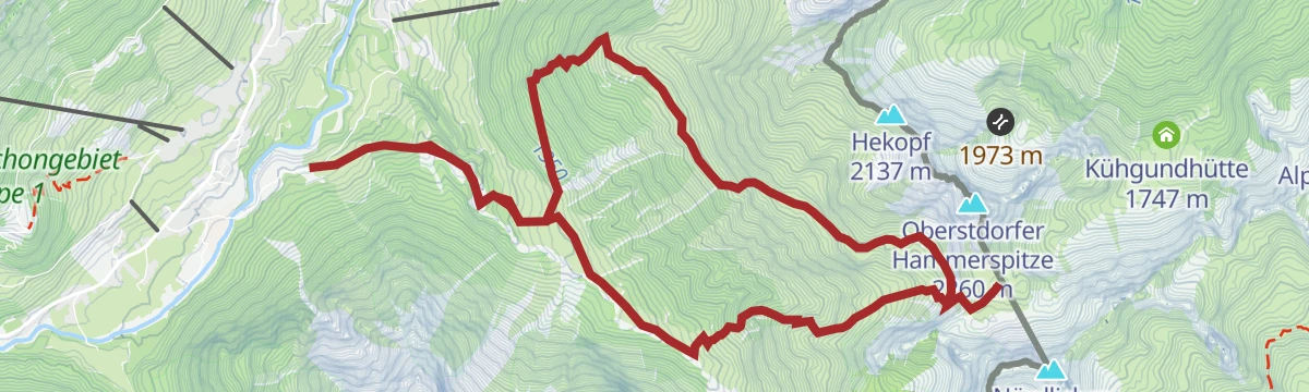
Open route Vorarlberg TourismusSkitour vom Schwendle auf die Walser Hammerspitze
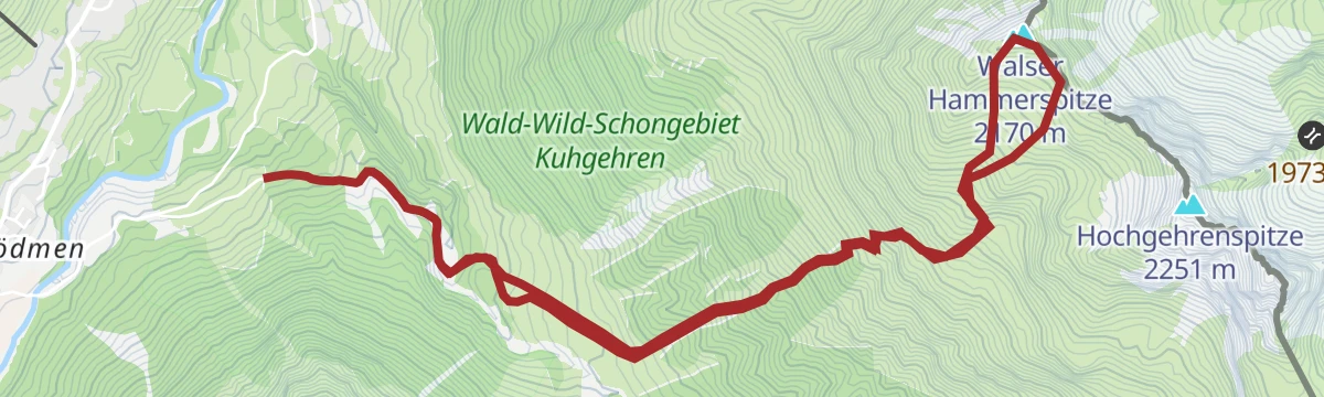
Past the upper Wiesalpe and into gentle forest ground, climbing the Wildental side of the Walser Hammerspitze.
- 7.0 km
- Distance
- 988 m
- Ascent
- 958 m
- Descent
- 3 h 25 min
- Duration
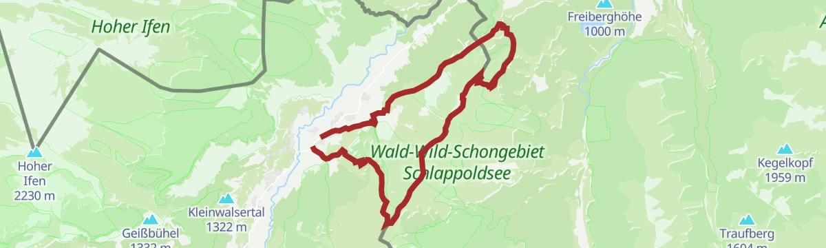
Open route Vorarlberg TourismusMountainbike-Rundtour „Kleiner Grenzverkehr“
A cross-border mountain-bike round to the Söllereck top station, out along a panorama track to Oberstdorf and back by the Breitach.
- 28.4 km
- Distance
- 805 m
- Ascent
- 3 h 17 min
- Duration
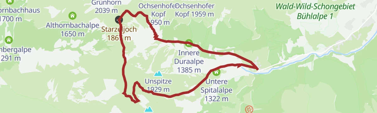
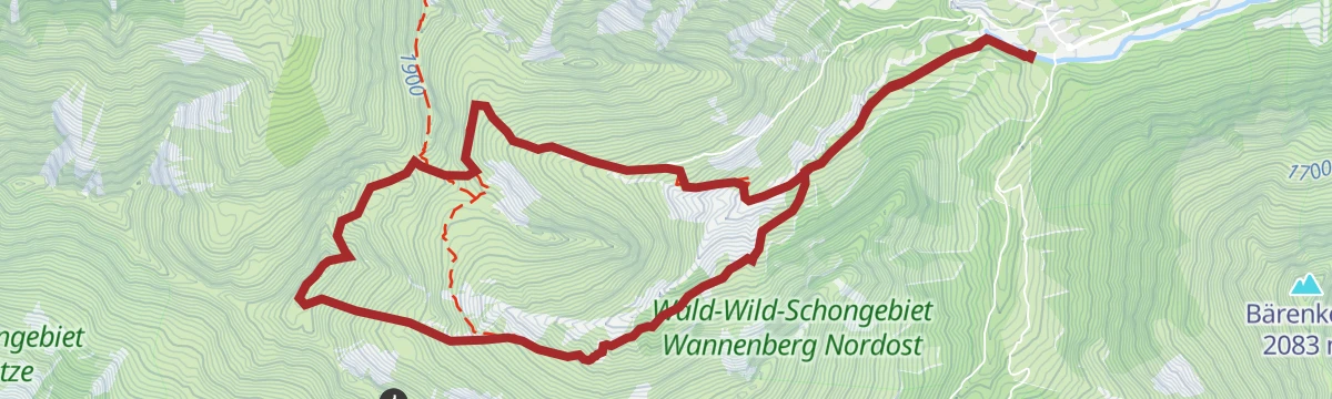
Open route Vorarlberg TourismusRundtour vom Duratal ins Derratal
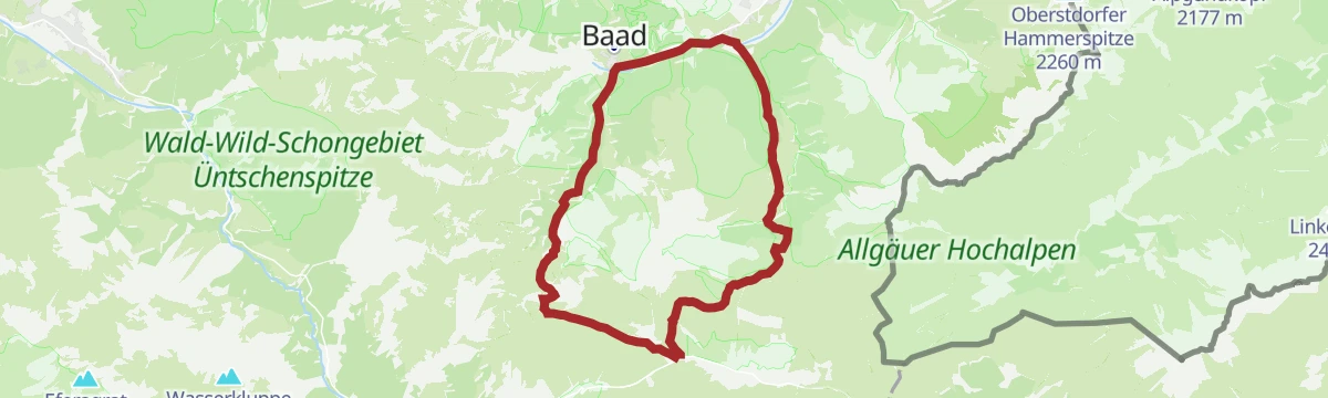
From Baad into the remote Duratal, then a demanding ridge between the Starzeljoch and the Derrajoch.
- 10.0 km
- Distance
- 763 m
- Ascent
- 4 h 58 min
- Duration
Open route Vorarlberg TourismusBergtour rund um den Elferkopf
A demanding round from the Schwendle quarter through the Wildental and the Gemsteltal, with staffed alps on the way.
- 15.8 km
- Distance
- 1 125 m
- Ascent
- 7 h 27 min
- Duration
Open route Vorarlberg TourismusSkitour vom Parkplatz Ifen auf den Hählekopf
A ski tour up the Schwarzwassertal from the Ifen car park, on ground shared with wildlife and best kept to the marked line.
- 13.0 km
- Distance
- 808 m
- Ascent
- 806 m
- Descent
- 4 h 14 min
- Duration
Open route Vorarlberg TourismusSkitour vom Schwendle ins Ochsenloch
From the Schwendle car park up the Wildental to the Ochsenloch, following the winter path as far as the Wiesalpe.
- 8.8 km
- Distance
- 1 018 m
- Ascent
- 988 m
- Descent
- 3 h 43 min
- Duration
Open route Vorarlberg TourismusWinterwanderung durchs Schwarzwassertal zur Schwarzwasserhütte
A winter walk from the Auenhütte through the Schwarzwassertal to the Alpe Melköde, then a steeper pull to the Schwarzwasserhütte.
- 9.7 km
- Distance
- 384 m
- Ascent
- 3 h 13 min
- Duration
Open route Vorarlberg TourismusBergtour zur Fiderepasshütte
Through the Wildental past the Wiesalpen and the Fluchtalpe to the Fiderepasshütte, returning by the Innere Kuhgerenalpe.
- 12.8 km
- Distance
- 916 m
- Ascent
- 6 h 3 min
- Duration
Open route Vorarlberg TourismusSkitour von Baad auf das Karlstor
A tour from the mountain hamlet of Baad onto the Karlstor, on the divide between the Bärgunt and Gemstel valleys.
- 7.4 km
- Distance
- 893 m
- Ascent
- 959 m
- Descent
- 3 h 16 min
- Duration
Open route Vorarlberg TourismusSkitour von Baad auf das Grünhorn
From Baad past the Gasthof Starzelhaus and up the Duratal to the Grünhorn, deep in the head of the valley.
- 9.0 km
- Distance
- 906 m
- Ascent
- 906 m
- Descent
- 3 h 28 min
- Duration
Open route Vorarlberg TourismusBergtour über den Hohen Ifen
A demanding alpine round over the Hoher Ifen, one of the best-known Walser summits, from the Ifenbahn valley station.
- 13.9 km
- Distance
- 928 m
- Ascent
- 6 h 14 min
- Duration
Open route Vorarlberg TourismusSkitour von Baad auf den Gamsfuß
Into the Bärgunttal from Baad and left at the fork, onto the Gamsfuß on the Kleinwalsertal's southern rim.
- 9.8 km
- Distance
- 792 m
- Ascent
- 790 m
- Descent
- 3 h 26 min
- Duration
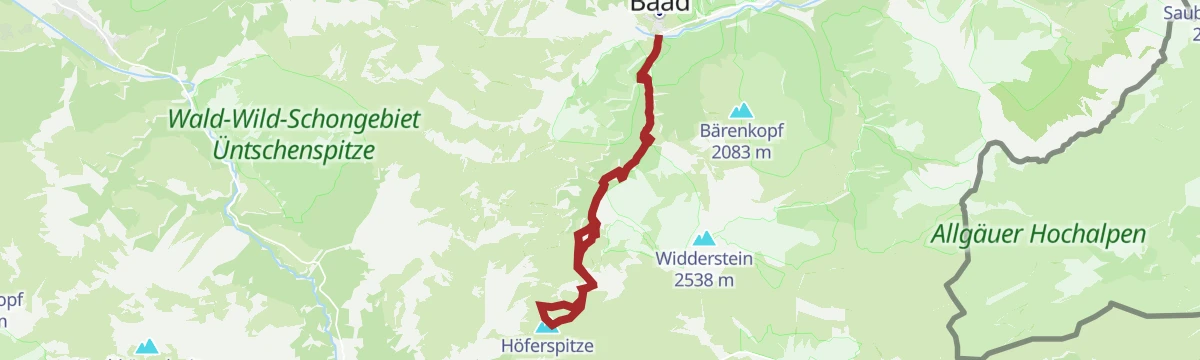
Open route Vorarlberg TourismusSkitour von Baad auf die Höferspitze
A tour out of Baad into the Bärgunttal, where the first stretch to the Bärgunthütte is shared with winter walkers.
- 11.4 km
- Distance
- 937 m
- Ascent
- 935 m
- Descent
- 4 h 1 min
- Duration
Open route Vorarlberg TourismusBergtour über die Gehrenspitze zur Kanzelwandbahn
A steep pull through the woods past the Riezler Alpe to the Gehrenspitze, then a ridge path to the Kanzelwandbahn.
- 11.8 km
- Distance
- 973 m
- Ascent
- 6 h 9 min
- Duration
Open route Vorarlberg TourismusSkitour von Baad auf den Seekopf
Up the Bärgunttal from Baad and left at the fork, climbing to the Seekopf above the valley head.
- 11.8 km
- Distance
- 842 m
- Ascent
- 840 m
- Descent
- 3 h 59 min
- Duration
Open route Vorarlberg TourismusSkitour von der Au auf das Toreck
The longer way onto the Toreck, starting from the football ground in Au and running deeper into the Gottesacker country.
- 14.7 km
- Distance
- 923 m
- Ascent
- 919 m
- Descent
- 4 h 48 min
- Duration
Open route Vorarlberg TourismusBergtour über die Kuhgehrenspitze zur Kanzelwandbahn
From the church at Hirschegg across the Breitach and up steep serpentines to a quiet viewpoint summit above the Kanzelwand.
- 8.6 km
- Distance
- 930 m
- Ascent
- 4 h 6 min
- Duration
Open route Vorarlberg TourismusSkitour von Baad auf die Güntlespitze
A tour into the secluded Derratal from Baad, crossing the stream by the information board at the valley mouth.
- 8.6 km
- Distance
- 871 m
- Ascent
- 867 m
- Descent
- 3 h 20 min
- Duration
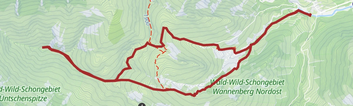
Open route Vorarlberg TourismusSkitour: Von Baad auf die Üntschenspitze
A ski tour into the secluded Derratal from Baad, reached by the Walserbus, for experienced parties only.
- 11.5 km
- Distance
- 1 113 m
- Ascent
- 1 109 m
- Descent
- 4 h 19 min
- Duration
Open route Vorarlberg TourismusFellhorngrat-Runde übers Söllereck
A half-day round from the Kanzelwand valley station onto the Riezler Höhenweg and along the Fellhorn ridge over the Söllereck.
- 16.8 km
- Distance
- 1 066 m
- Ascent
- 7 h 17 min
- Duration
Open route Vorarlberg TourismusGeißhorn und Kemptner Köpfle
A round from Bödmen over the Geißhorn and the Kemptner Köpfle, on ground where ibex are often in sight.
- 18.3 km
- Distance
- 1 451 m
- Ascent
- 9 h 24 min
- Duration
Open route Vorarlberg TourismusMin Weag 08 | Schönenbach – Mittelberg
A hard full-day crossing from the Bregenzerwald into the Kleinwalsertal that demands good route-finding.
- 18.3 km
- Distance
- 1 289 m
- Ascent
- 8 h 13 min
- Duration
Open route Vorarlberg TourismusWanderfestival Kleinwalsertal – Hike the Valley: Gold-Strecke
The hardest of the Hike the Valley festival routes, a long day for walkers who are sure of both fitness and footing.
- 22.5 km
- Distance
- 1 025 m
- Ascent
- 7 h 48 min
- Duration
Open route Vorarlberg Tourismus
No routes of this kind in Mittelberg yet.
The region's own picks

Featured route
Warth | 3 Pässe Tour (Koblat-, Gemstel- und Hochalppass)
Three passes in one day from Gehren: first the Koblatpass, then the Gemstelpass, and after the Widdersteinhütte the Hochalppass with its lake, finishing at the Hochtannbergpass.
Planning a trip to Mittelberg?
Everything else Vorarlberg has, in one place


Take Mittelberg with you into the mountains
Every route on this page with 3D terrain, GPX navigation and offline maps — including the valleys with no signal.
Data sources
- Official website: kleinwalsertal.com ↗
- Routes and highlights: Vorarlberg Tourismus, PeakVisor / OpenStreetMap, Warth-Schröcken Tourismus, PeakVisor tTRL (OpenStreetMap piste_type=skitour), Tannheimer Tal
- Published as open data by the tourist boards named above.
- Region summary generated from the board's own material.
