
Curated by APT Dolomiti di Brenta e Paganella
Mezzocorona
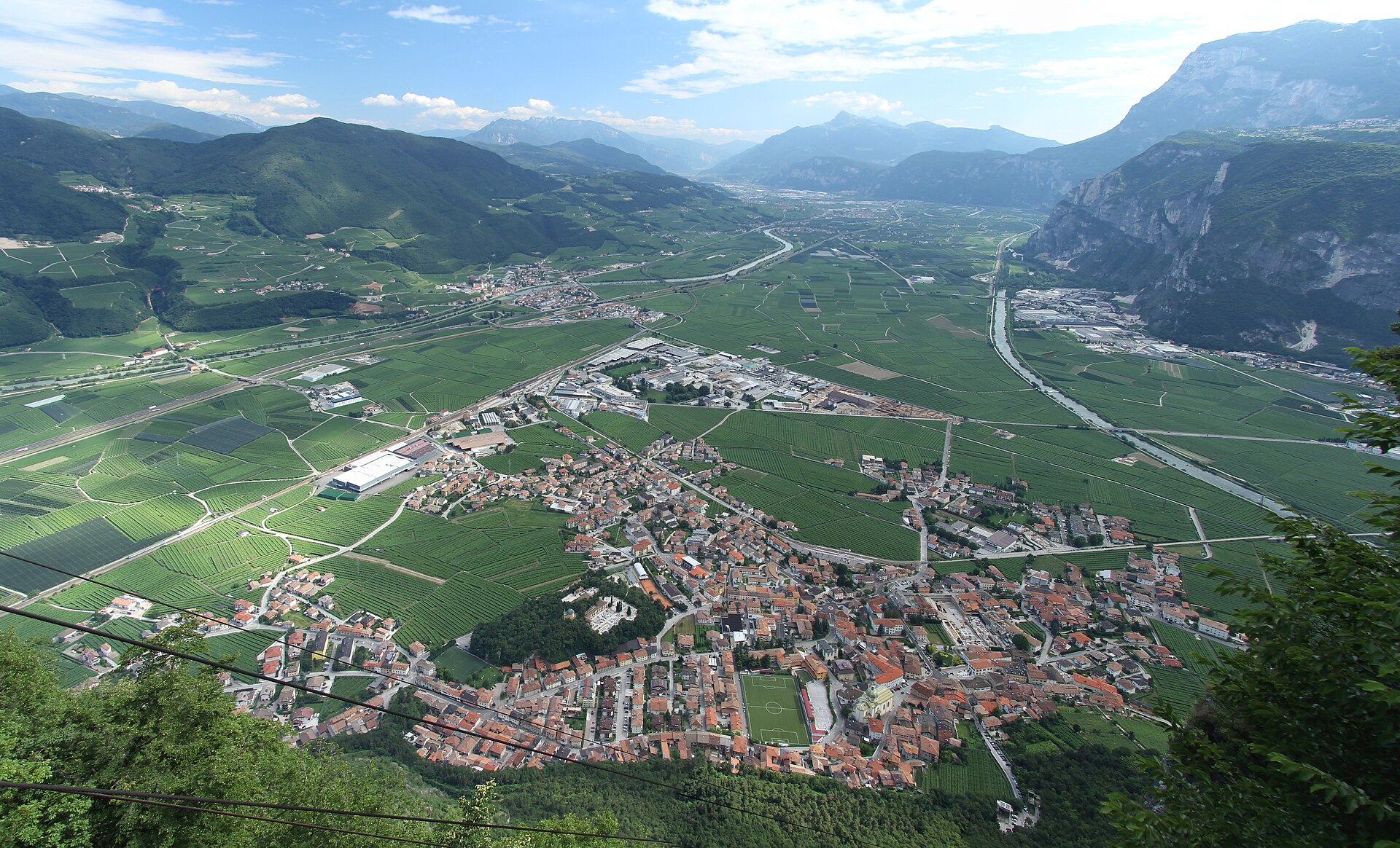
Vineyard comune under the Monte at the mouth of the Val di Non, known for its Teroldego and its via ferrata.
- 3Highlights
- 24Routes
- Featured summit · Monte Cavallo
Highlights
All 3 from neighbouring places
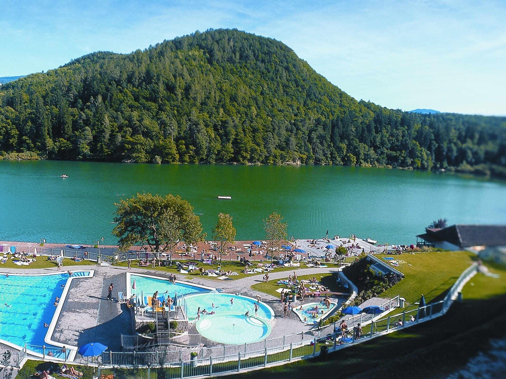
Tour in bicicletta:Lago di Monticolo- Lago di Caldaro
12 km away, in Cortaccia sulla strada del vino/Kurtatsch an der Weinstraße
A cycle route linking the Monticolo and Caldaro lakes through the Bassa Atesina vineyards.
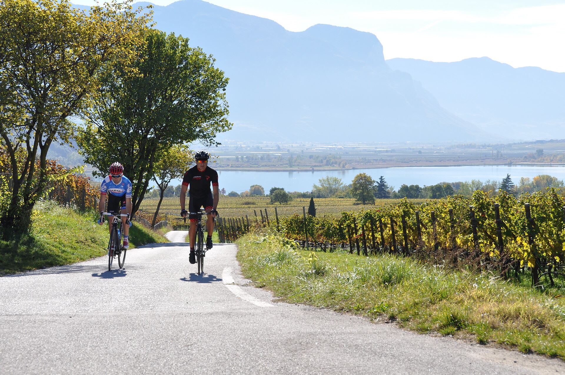
Tour in bicicletta: Lago di Caldaro
12 km away, in Cortaccia sulla strada del vino/Kurtatsch an der Weinstraße
A cycle route from the Cortaccia vineyards down to the Caldaro lake, the warmest bathing lake in the Alps.
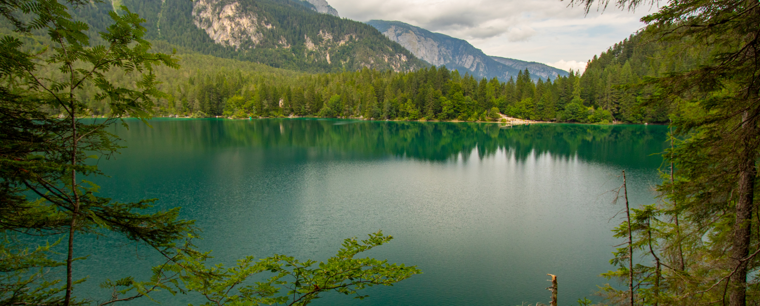
Lago di Tovel
14.1 km away, in Ville d'Anaunia
A lake at 1,178 m below the Brenta Dolomites, once famous for the red algal bloom that coloured its water.
Nothing of this kind in Mezzocorona.
Routes
Ferrata Burrone Giovanelli
A via ferrata up the Giovanelli ravine above Mezzocorona, climbing the gorge walls to the Monte di Mezzocorona terrace.
- 1.9 km
- Distance
- 808 m
- Ascent
- 3 h 43 min
- Duration
- 7
- Check-ins
Open route APT Dolomiti di Brenta e PaganellaTorrente Noce D1 alta
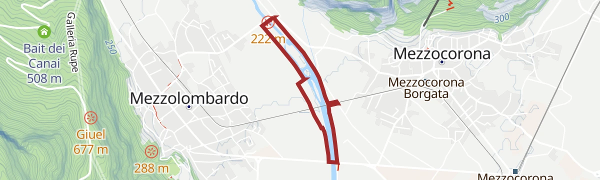
A very short, flat stretch beside the Noce below the Rocchetta gorge near Mezzocorona, with almost no height gain at all.
- 944 m
- Distance
- 10 m
- Ascent
- 16 min
- Duration
- 8
- Check-ins
Open route Trentino FishingMonte - Rif. Malga Kraun (SAT 500-507)
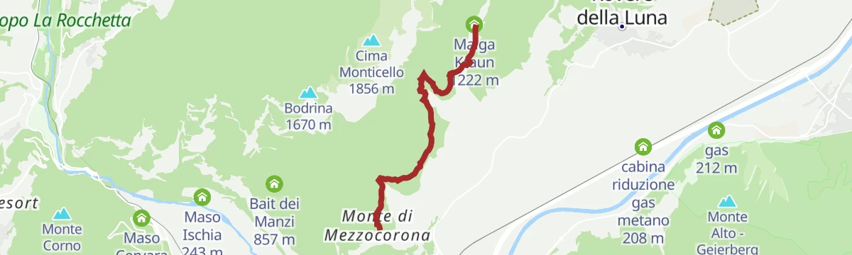
A forest-road walk to Malga Kraun on its clearing above Mezzocorona, with a detour to the carved figures of the Magic of the Forest and an old silver fir.
- 4.9 km
- Distance
- 378 m
- Ascent
- 1 h 50 min
- Duration
- 11
- Check-ins
Open route APT Dolomiti di Brenta e PaganellaSummit circuit (SAT trails 500-518-507-500)
A long circuit above Mezzocorona on SAT trails 500, 518 and 507, over Monte Cavallo and Cima Roccapiana.
- 12.8 km
- Distance
- 1 379 m
- Ascent
- 7 h 57 min
- Duration
- 12
- Check-ins
Open route APT Dolomiti di Brenta e PaganellaMendola route
A big day from Mezzocorona with the Denno ramp and then the Passo della Mendola, returning through Val di Non orchards and Wine Road vineyards.
- 98.7 km
- Distance
- 1 622 m
- Ascent
- 10 h 17 min
- Duration
- 123
- Check-ins
 Dosso Santa Margherita 307 m
 Passo della Mendola - Mendelpass 1 363 m
 Azienda per il Turismo Val di Non 1 364 m
- La Rocchetta 2019 270 m
- Castel Ringberg 306 m
- Paradiso 1 282 m
- +11
Open route VisitTrentinoTour of the small Lakes
A flat circuit of the small lakes on the valley floor at Mezzocorona, below the cliffs of the Monte.
- 4.4 km
- Distance
- 10 m
- Ascent
- 1 h 3 min
- Duration
- 6
- Check-ins
 Laghetto di Ischia 241 m
- Maso Oliva 234 m
- Maso Ischia 243 m
Open route APT Dolomiti di Brenta e PaganellaStrada delle Longhe
A steep old road climbing the cliffs of the Monte di Mezzocorona from the Rotaliana plain.
- 5.7 km
- Distance
- 825 m
- Ascent
- 3 h 33 min
- Duration
- 11
- Check-ins
- Bait dei Manzi 857 m
- Laghetto di Ischia 241 m
Open route APT Dolomiti di Brenta e PaganellaLoop with climb to Mendola Pass
A near-100 km road circuit from the Val di Non over into the Adige valley, returning by the climb to the Passo della Mendola.
- 98.9 km
- Distance
- 1 712 m
- Ascent
- 10 h 23 min
- Duration
- 117
- Check-ins
- Dosso Santa Margherita 307 m
- Passo della Mendola - Mendelpass 1 363 m
- Azienda per il Turismo Val di Non 1 364 m
- La Rocchetta 2019 270 m
- Maso Cervara 245 m
- Castel Ringberg 306 m
- +8
Open route APT Val di NonHiking Loop on Monte di Mezzocorona: Skywalk and Suspension Bridge
A short loop from the top of the Mezzocorona cable car to the footbridge over the Valle della Villa and the Skywalk platform on the cliff edge.
- 2.7 km
- Distance
- 85 m
- Ascent
- 51 min
- Duration
- 4
- Check-ins
Open route APT Dolomiti di Brenta e PaganellaRefuge Malga Kraun - Cima Roccapiana (SAT 518)
A steep pull on SAT 518 from Malga Kraun to the top of Cima Roccapiana above Mezzocorona.
- 2.1 km
- Distance
- 621 m
- Ascent
- 2 h 11 min
- Duration
- 8
- Check-ins
Open route APT Dolomiti di Brenta e PaganellaFrom the Plateau to the "Wine-road"
A long road tour down to the Adige and north along the South Tyrolean wine road as far as the Lago di Caldaro, returning over Passo Santel.
- 100.2 km
- Distance
- 1 290 m
- Ascent
- 10 h 6 min
- Duration
- 105
- Check-ins
- Tre3 1 037 m
- Albergo El Paso 1 036 m
- Passo Santel 1 040 m
- La Rocchetta 2019 270 m
- Maso Cervara 245 m
- APT Dolomiti Paganella 1 021 m
- +14
Open route APT Dolomiti di Brenta e PaganellaDK, associazione pescatori dilettanti trentini
A level streamside route along the roggia at Mezzocorona, following the mill channel and the nursery brooks on either bank.
- 2.5 km
- Distance
- 11 m
- Ascent
- 35 min
- Duration
- 1
- Check-ins
Monte di Mezzocorona - Bait dei Manzi - Aiseli (SAT 506)
A woodland path through the pine-scented Las forest to the Bait dei Manzi, thinning near the top into benches looking over the Adige valley.
- 4.3 km
- Distance
- 718 m
- Ascent
- 3 h 4 min
- Duration
- 7
- Check-ins
Open route APT Dolomiti di Brenta e PaganellaRoadbike: Südtiroler - Trientner Weinstraßen
A road tour south under the cliffs to Mezzocorona and Lavis, climbing to Pressano above the Trentino vineyards before the Adige path home.
- 73.5 km
- Distance
- 810 m
- Ascent
- 7 h 17 min
- Duration
- 38
- Check-ins
- Prati Del Diavolo 208 m
- Turismusverein Kurtatsch - Informazioni Turistiche Cortaccia 344 m
- Pub Pizzeria Weinstraße 295 m
- Passo Croce 616 m
- gas 212 m
- Da Silvio 211 m
- +6
Open route Südtirols SüdenTorrente Noce D1 bassa
A flat stretch beside the lower Noce, where it crosses the Rotaliana plain to meet the Adige.
- 2.1 km
- Distance
- 0 m
- Ascent
- 30 min
- Duration
- 1
- Check-ins
Open route Trentino FishingA1, Associazione Pescatori Dilettanti Trentini
A long flat riverside stretch on the Adige near Mezzocorona, on water managed by the Trentino anglers.
- 13.8 km
- Distance
- 0 m
- Ascent
- 3 h 13 min
- Duration
- 2
- Check-ins
Open route Trentino FishingWeinstraße - Vino 50
An easy loop through the vineyards south of Bolzano, running from Margreid along the Adige past the Bicigrill at Faedo.
- 41.5 km
- Distance
- 55 m
- Ascent
- 3 h 44 min
- Duration
- 29
- Check-ins
- Prati Del Diavolo 208 m
- gas 212 m
- BikeBreak - Bicigrill Faedo 208 m
- Da Silvio 211 m
- La Cacciatora 210 m
- SV Margreid - GS Magrè 213 m
- +3
Open route Südtirols SüdenBridge Circuit
A level round across the Piana Rotaliana, where the Adige valley is at its widest, in sight of the Mezzocorona castles and the Bondone to the south.
- 3.0 km
- Distance
- 0 m
- Ascent
- 43 min
- Duration
Open route APT Dolomiti di Brenta e PaganellaFossa di Caldaro
A flat route along the Fossa di Caldaro drainage canal, through the reclaimed farmland of the Adige valley floor.
- 10.4 km
- Distance
- 0 m
- Ascent
- 2 h 26 min
- Duration
Open route Trentino FishingGiro del Vino 50
A loop through the vineyards of the Piana Rotaliana between Trento and Bolzano, climbing onto the Avisio slopes past the cappella di San Valentino.
- 54.6 km
- Distance
- 656 m
- Ascent
- 5 h 28 min
- Duration
- 12
- Check-ins
- gas 212 m
- ex Lord Hotel 210 m
- Da Silvio 211 m
- La Cacciatora 210 m
- Ex stazione della funivia "Direttissima della Paganella" 202 m
- cappella di San Valentino 449 m
- +4
Open route APT Dolomiti di Brenta e PaganellaFiume Adige AP1
A level walk on the bank of the Adige at Mezzocorona, on the floor of the Rotaliana plain.
- 2.3 km
- Distance
- 0 m
- Ascent
- 32 min
- Duration
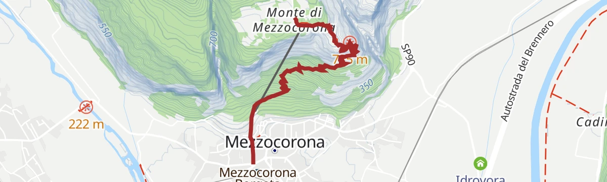
Open route Trentino FishingMezzocorona - Monte (SAT 500)
A relentlessly steep path from Mezzocorona to the Monte terrace, used by skyrunners, climbing through conifer wood above the Rotaliana.
- 2.9 km
- Distance
- 852 m
- Ascent
- 3 h 20 min
- Duration
Open route APT Dolomiti di Brenta e PaganellaGiro Rotaliana Adige
A flat valley circuit through the Piana Rotaliana vineyards, following the Adige cycle path down past Lavis and Nave San Felice.
- 56.7 km
- Distance
- 70 m
- Ascent
- 5 h 6 min
- Duration
- 4
- Check-ins
- Ex stazione della funivia "Direttissima della Paganella" 202 m
- cabina riduzione gas metano 208 m
- Consorzio Turistico Piana Rotaliana-Königsberg 226 m
Open route APT Dolomiti di Brenta e PaganellaTorrente Noce D2
A flat route along the Noce above its junction with the Adige, on the Rotaliana plain.
- 8.8 km
- Distance
- 0 m
- Ascent
- 2 h 5 min
- Duration
Open route Trentino Fishing








No routes of this kind in Mezzocorona yet.
The region's own picks
Featured route
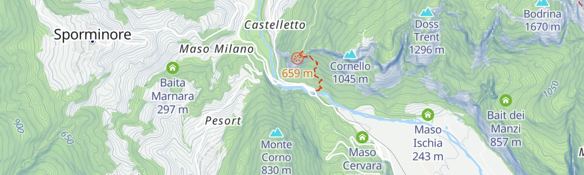
Torrente Noce D1 alta
A very short, flat stretch beside the Noce below the Rocchetta gorge near Mezzocorona, with almost no height gain at all.
Planning a trip to Mezzocorona?
Everything else Trentino-Alto Adige/Südtirol has, in one place


Take Mezzocorona with you into the mountains
Every route on this page with 3D terrain, GPX navigation and offline maps — including the valleys with no signal.
Data sources
- Official website: visittrentino.info ↗
- Routes and highlights: APT Dolomiti di Brenta e Paganella, Trentino Fishing, Kaltern an der Weinstraße, Südtirols Süden, Italia.it, VisitTrentino, APT Val di Non, Visit Trentino
- Published as open data by the tourist boards named above.
- Region summary generated from the board's own material.
