
Curated by APT Valli di Sole, Peio e Rabbi
Mezzana
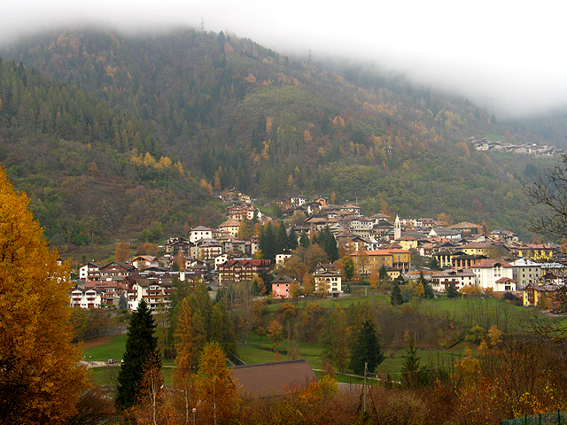
Val di Sole village on the Noce, at the foot of the Marilleva lifts and the whitewater on the river.
- 12Highlights
- 33Routes
- Featured summit · Monte Lorés
Highlights
All 12 from neighbouring places
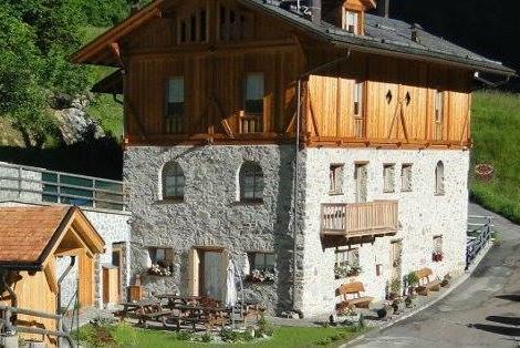
Chalet Val di Rabbi
8.3 km away, in Rabbi
An eighteenth-century farmhouse in Rabbi, converted for walkers and skiers.
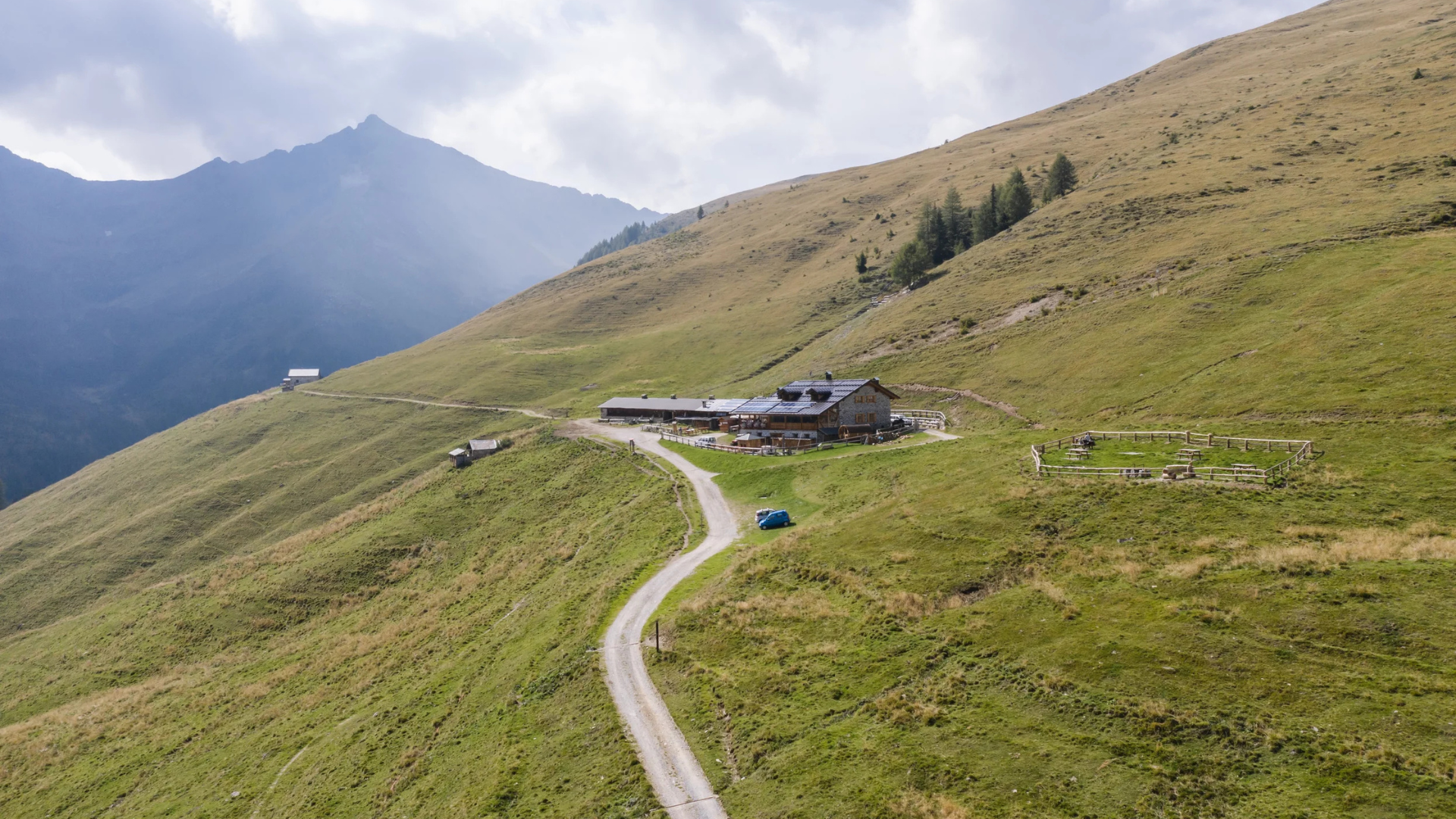
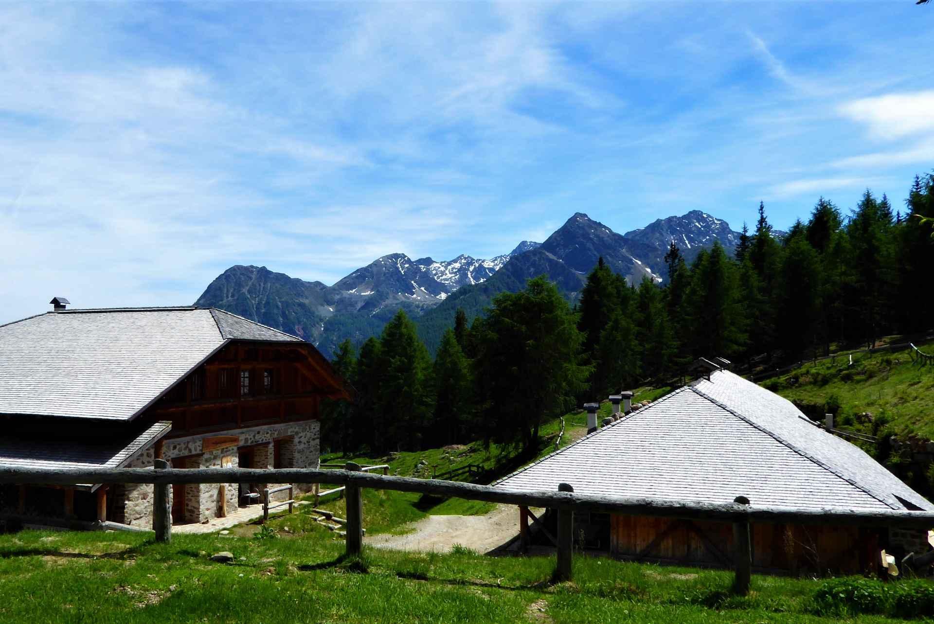
Malga Monte Sole
8.6 km away, in Rabbi
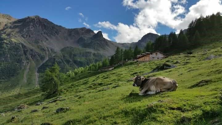
A dairy pasture on the sunny side of the Val di Rabbi, in the Stelvio national park.
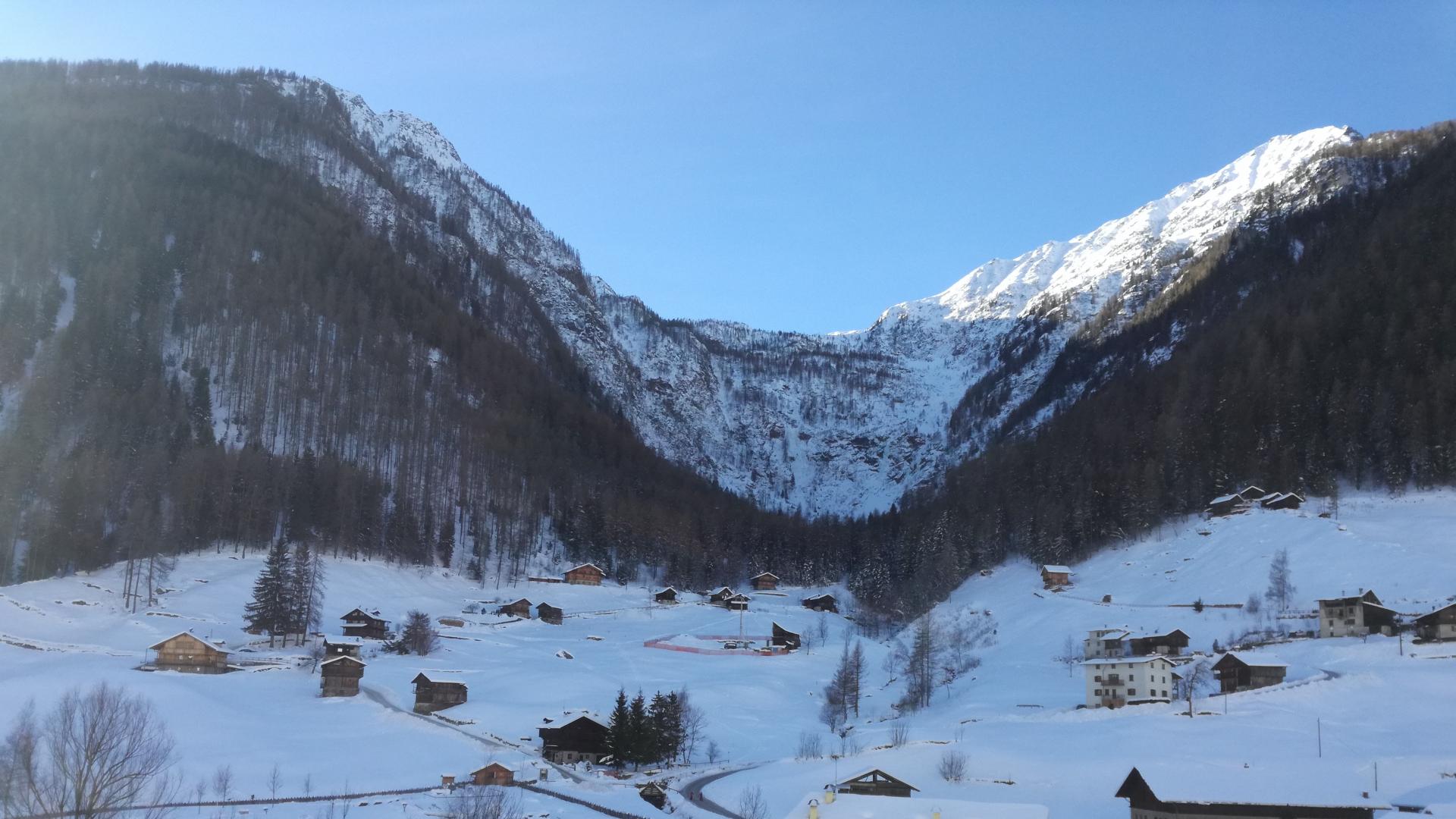
Cascate di Valorz
9.6 km away, in Rabbi
A waterfall in the Val di Rabbi reached through the Valorz farmsteads, inside the Stelvio national park.
Malga Fratte
10 km away, in Rabbi
A dairy pasture in the lower Val di Rabbi, on the paths into the Stelvio national park.
Bambi Chalet
10.1 km away, in Rabbi
A converted hay barn in the Val di Rabbi, kept as it was built, in the Stelvio national park.
MAS DEL MEZDI'
10.2 km away, in Rabbi
A detached chalet at Somrabbi in the Val di Rabbi, inside the Stelvio national park.
Baita L'Anda
10.5 km away, in Rabbi
A restored farmhouse hut at Piazzola di Rabbi, at 1,300 m in the Stelvio national park.
Malga Maleda
11 km away, in Rabbi
The Stablaz Alta pasture, also called Maleda Alta, high on the eastern side of the Val di Rabbi.
Malga Caldesa Bassa
11 km away, in Rabbi
A summer dairy pasture in the Val di Rabbi, open to walkers in the Stelvio national park.
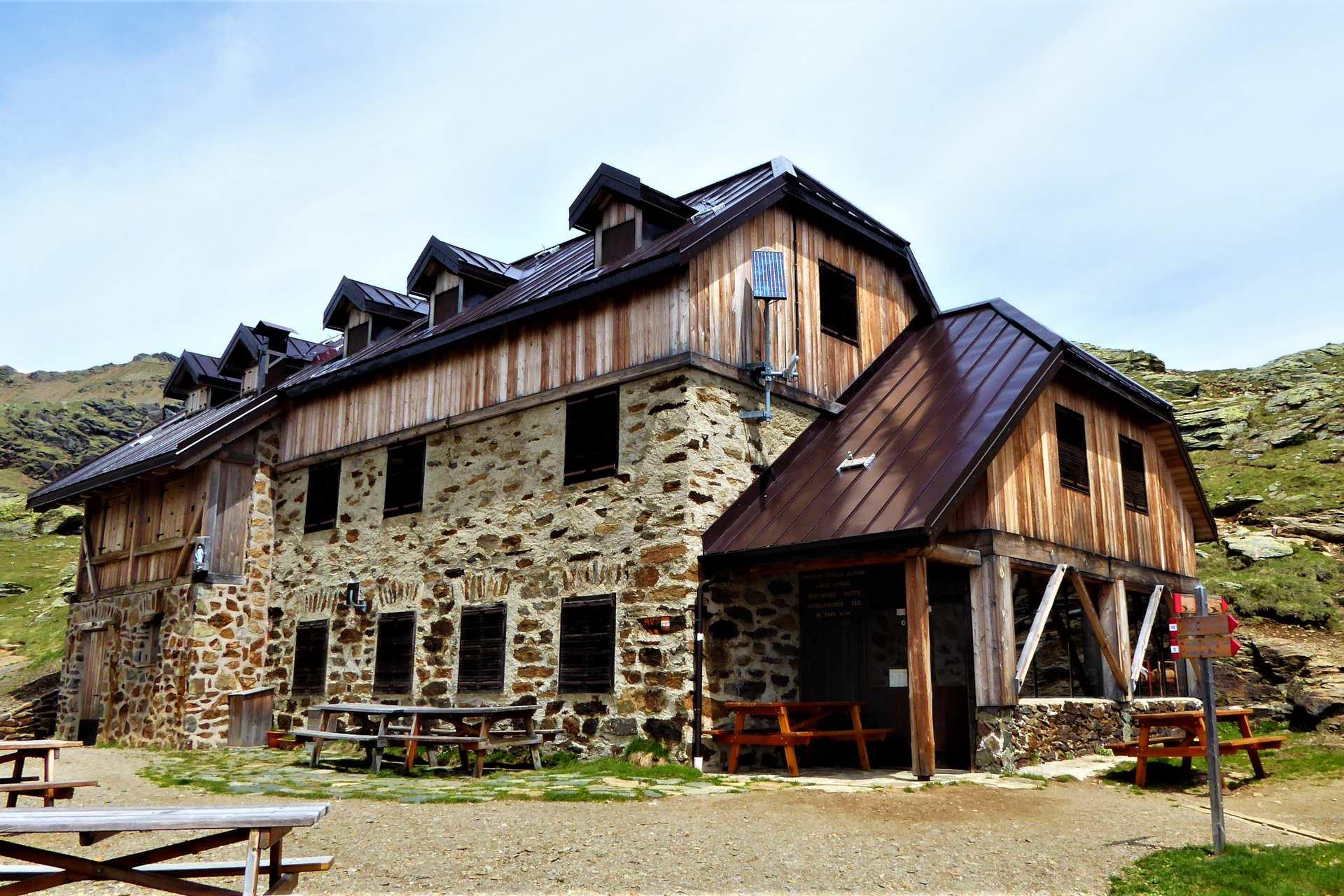
Rifugio Lago Corvo
13.6 km away, in Rabbi
A hut at the Lago Corvo, where the Val di Rabbi meets the southern end of the Val d'Ultimo.
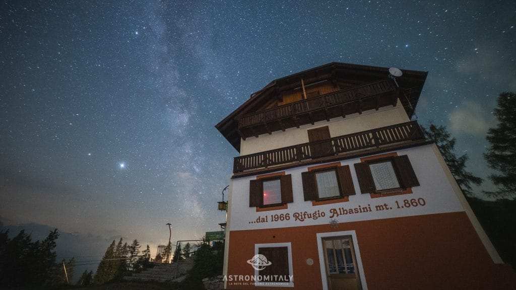
Rifugio Albasini
4.8 km away, in Dimaro Folgarida
A hut above Folgarida in the Val di Sole, certified as a dark-sky site for star watching.
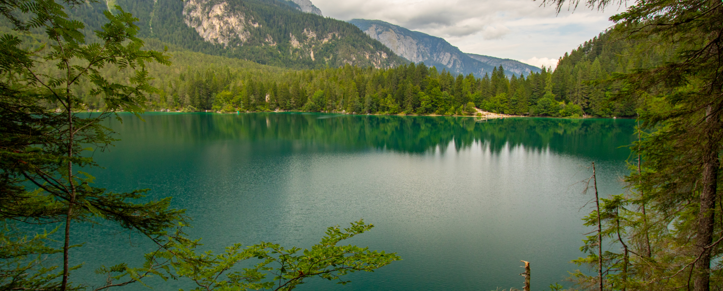
Lago di Tovel
12.9 km away, in Ville d'Anaunia
A lake at 1,178 m below the Brenta Dolomites, once famous for the red algal bloom that coloured its water.
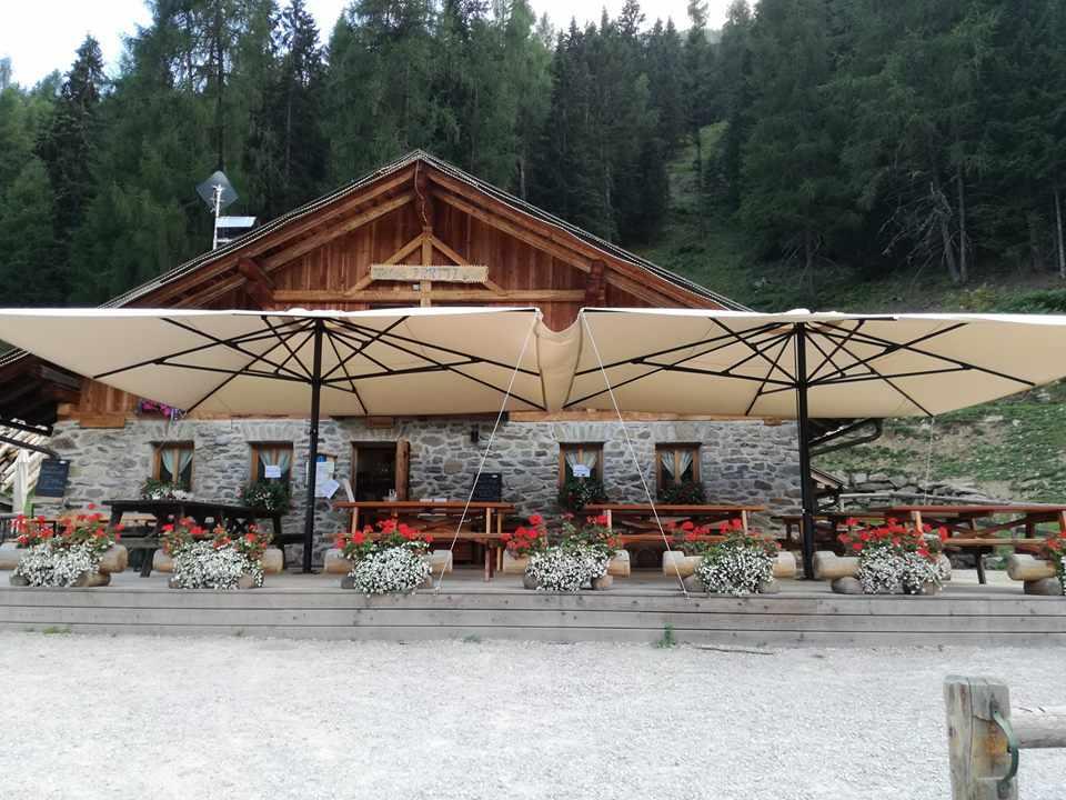
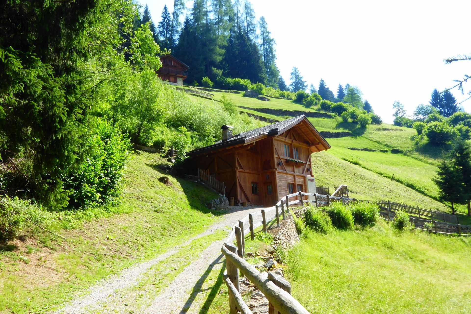
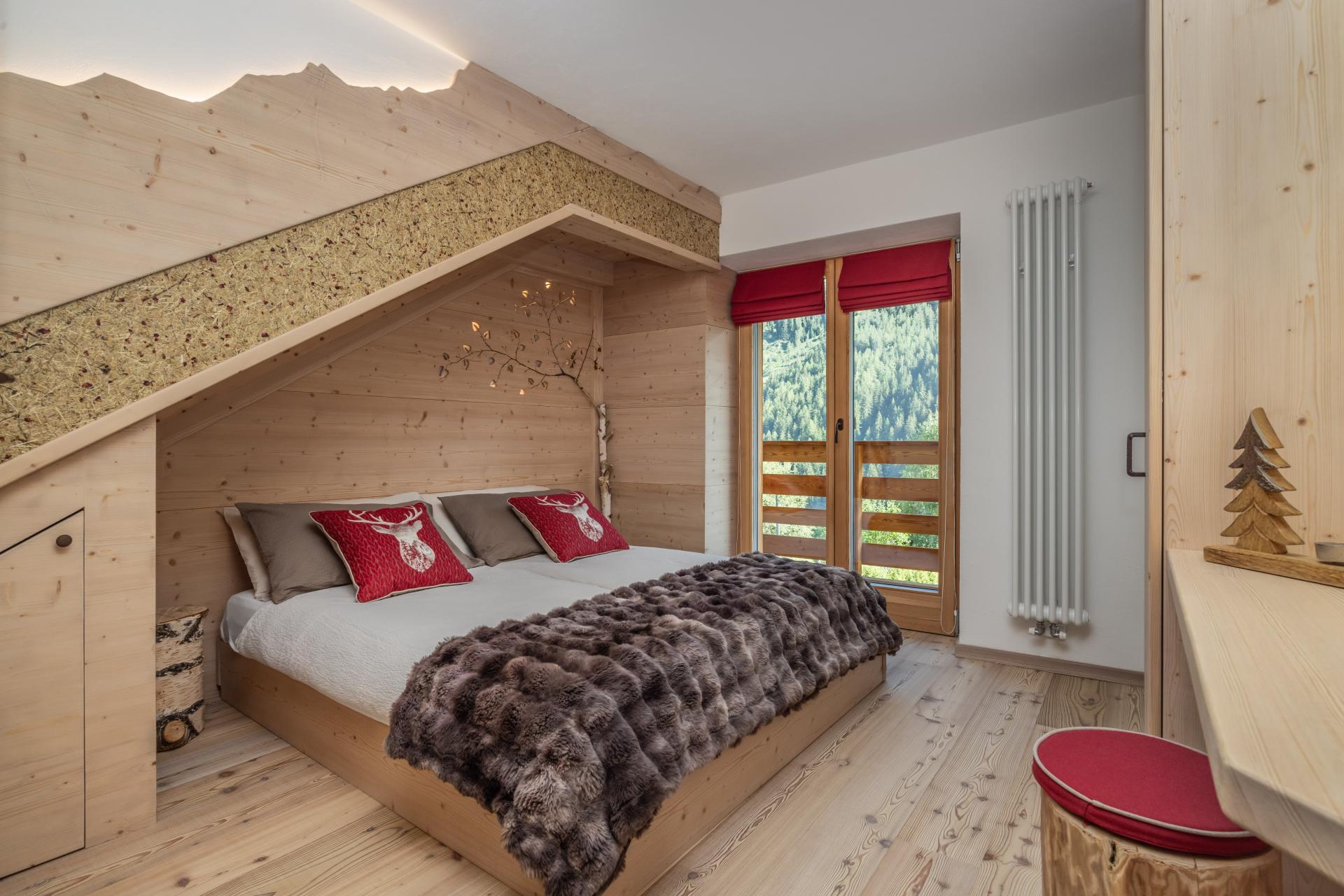
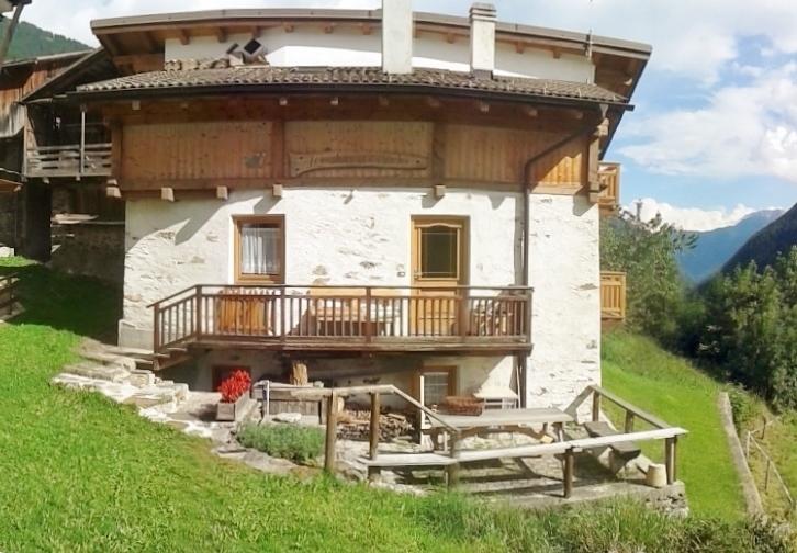
Nothing of this kind in Mezzana.
Routes
Trail Stabli Loop N° 726
A short loop from the car park below Malga Stabli above Ortise, climbing a dirt track into thinning larch and open pasture.
- 6.8 km
- Distance
- 345 m
- Ascent
- 2 h 30 min
- Duration
- 16
- Check-ins
Open route APT Valli di Sole, Peio e RabbiAlta Via degli Alpeggi
A high traverse above the Val di Sole on forest roads and paths, linking working mountain pastures in sight of the Presanella and the Brenta group.
- 10.4 km
- Distance
- 428 m
- Ascent
- 3 h 29 min
- Duration
- 23
- Check-ins
Open route APT Valli di Sole, Peio e RabbiMalga Stabli - Malga Bronzolo Loop
A long loop through larch woods to Malga Stabli, a pasture terrace facing the Presanella and the Brenta, and on to the grazing at Malga Bronzolo.
- 17.0 km
- Distance
- 835 m
- Ascent
- 6 h 8 min
- Duration
- 14
- Check-ins
Open route APT Valli di Sole, Peio e RabbiSki mountaineering at Laghi del Malghet
A ski ascent from the edge of Mezzana by way of Ponte Alto to the Malghet lakes, buried under winter snow.
- 4.0 km
- Distance
- 551 m
- Ascent
- 0 m
- Descent
- 1 h 40 min
- Duration
- 7
- Check-ins
Open route APT Valli di Sole, Peio e RabbiStabli Loop Trail - Laghetti Variant No. 726 A
A short bike loop from Malga Stabli, climbing by dirt road to about 1,770 m and coming back down the Stabli trail.
- 5.7 km
- Distance
- 339 m
- Ascent
- 54 min
- Duration
- 18
- Check-ins
Open route APT Valli di Sole, Peio e RabbiTRANSALP 2006: Malè - Madonna di Campiglio
The seventh stage of the 2006 Transalp, up the Val di Sole to the Malga Panciana and over Monte Vigo to Campiglio.
- 47.1 km
- Distance
- 2 138 m
- Ascent
- 5 h 56 min
- Duration
- 240
- Check-ins
 Monte Vigo 2 179 m
 Rifugio Orso Bruno 2 200 m
- Fortini 1 629 m
- LAB Après-Ski 1 632 m
- Rifugio Alpe Daolasa 2045 2 041 m
- Malga Panciana 1 886 m
- +13
Open route APT Valli di Sole, Peio e RabbiAlpine Gravel Monte Vigo
A gravel climb up the Val Meledrio to Alpe Daolasa and on to the top of Monte Vigo, returning past the Lago dei Caprioli.
- 47.0 km
- Distance
- 1 588 m
- Ascent
- 5 h 40 min
- Duration
- 182
- Check-ins
- Monte Vigo 2 179 m
- Cascata del Pison 1 151 m
- Rifugio Orso Bruno 2 200 m
- Rifugio Alpe Daolasa 2045 2 041 m
- Malga Panciana 1 886 m
 Lago dei Caprioli 1 321 m
- +13
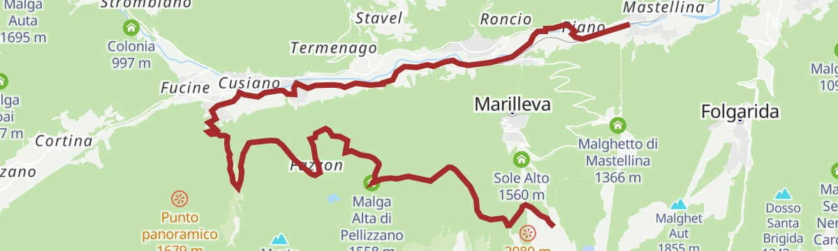
Open route APT Valli di Sole, Peio e RabbiMalga Alta di Fazzon
A forest walk from Marilleva 1400 to Malga Alta di Fazzon, a working dairy looking over the upper Val di Peio to the Ortles-Cevedale.
- 4.4 km
- Distance
- 205 m
- Ascent
- 1 h 48 min
- Duration
- 13
- Check-ins
Open route APT Valli di Sole, Peio e RabbiLaghi del Malghet di Mezzana
A quiet forest climb to the Malghet lakes above Mezzana, below the metal cross that marks the top of Cima Gardenè.
- 7.1 km
- Distance
- 505 m
- Ascent
- 3 h 21 min
- Duration
- 21
- Check-ins
- Malga Panciana 1 886 m
- Rifugio Orti 1 886 m
- Malghetto Copai 1 993 m
- Laghi del Malghetto di Mezzana 2 002 m
Open route APT Valli di Sole, Peio e RabbiOrtisè - Malga Stabli - Malga Bronzolo
A long out-and-back from Ortise across the terrace above the Val di Sole to Malga Stabli, then on to the grazing herds at Malga Bronzolo.
- 24.6 km
- Distance
- 1 187 m
- Ascent
- 8 h 47 min
- Duration
- 14
- Check-ins
Open route APT Valli di Sole, Peio e RabbiAlpine Gravel Passo Tonale
A gravel ride up the upper Val di Sole from Mezzana through Vermiglio to the Passo del Tonale, returning past old Austro-Hungarian forts.
- 47.0 km
- Distance
- 1 234 m
- Ascent
- 5 h 20 min
- Duration
- 76
- Check-ins
 Passo del Tonale 1 883 m
- Hotel La Mirandola 1 976 m
- Bar Cadì 1 883 m
- Il Faita 1 824 m
- Malga Cadì 1 928 m
- Baita Velon 1 347 m
- +2
Open route APT Valli di Sole, Peio e RabbiAlbarè - Madonna delle Cime
A nearly level path from Marilleva 1400 through old spruce to the Madonnina delle Cime, a small chapel of wood, passable with a pushchair.
- 4.2 km
- Distance
- 64 m
- Ascent
- 1 h 9 min
- Duration
- 5
- Check-ins
Open route APT Valli di Sole, Peio e RabbiLago di Ortisé
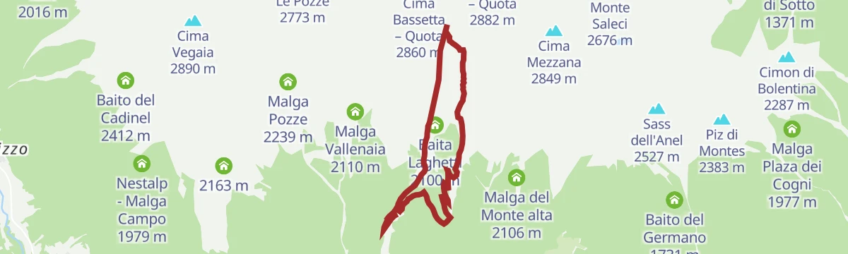
A climb to Lago di Ortise at 2,450 m, along a natural shelf with the Brenta Dolomites and the Presanella across the Val di Sole.
- 9.0 km
- Distance
- 641 m
- Ascent
- 4 h 16 min
- Duration
- 18
- Check-ins
- Malga Stabli 1 814 m
- Baita Laghetti 2 100 m
- Malga Bronzolo 2 084 m
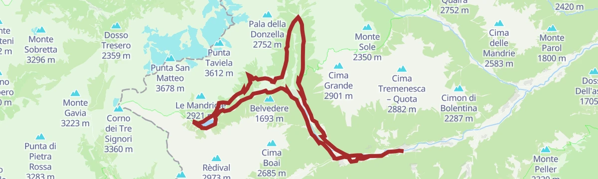
- Laghetto di Ortisè 2 451 m
Open route APT Valli di Sole, Peio e RabbiLakes of Malghet di Mezzana and Cross of Peace
A stiff climb by forest road and mule track to the lower Malghet lake, then through pine and larch to a partly cabled rock ridge and the peak above Mezzana.
- 7.7 km
- Distance
- 1 074 m
- Ascent
- 4 h 55 min
- Duration
- 10
- Check-ins
Open route APT Valli di Sole, Peio e RabbiTrail Lago dei Caprioli
A ride from Malga Panciana on dirt road and trail by Malga Fazzon and Monte Salvat to Valpiana, returning on the valley cycle path.
- 20.8 km
- Distance
- 155 m
- Ascent
- 2 h 22 min
- Duration
- 30
- Check-ins
- Malga Alta di Pellizzano 1 558 m
- Rifugio Alpino Fazzon 1 254 m
- Agritur Malga Bassa 1 279 m
- Rifugio Orti 1 886 m
- Bar ristorante pizzeria Kristall 892 m
Open route APT Valli di Sole, Peio e RabbiTrail Menas N° 1337
A near-level route out of Menas above Ortise, dropping from dirt road to mule track with the view running from the Brenta group to the Adamello-Presanella.
- 3.2 km
- Distance
- 0 m
- Ascent
- 1 h 29 min
- Duration
- 4
- Check-ins
Open route APT Valli di Sole, Peio e RabbiLago Rotondo
A climb to Lago Rotondo at 2,427 m in the Vegaia-Tremenesca group, ringed by Cima Valletta, Cima Tremenesca and Monte Polinar.
- 6.6 km
- Distance
- 874 m
- Ascent
- 3 h 55 min
- Duration
- 17
- Check-ins
- Malga Stabli 1 814 m
- Malga Bronzolo 2 084 m
- Passo Valletta 2 699 m
- Lago Alto 2 575 m
Open route APT Valli di Sole, Peio e RabbiMalga Campo Fun Tour
A long and technical circuit through the middle and upper reaches of the Val di Sole, with the Brenta, Presanella, Vioz and Cevedale in view on the climb.
- 28.7 km
- Distance
- 1 314 m
- Ascent
- 10 h
- Duration
- 9
- Check-ins
Open route APT Valli di Sole, Peio e RabbiAlpine Gravel Lake Celentino
A gravel climb from Mezzana into the Val di Peio, working up through Malga Campo to the small tarn at Lago di Celentino above 2,000 m.
- 44.9 km
- Distance
- 1 667 m
- Ascent
- 5 h 33 min
- Duration
- 26
- Check-ins
- Malga Stabli 1 814 m
- Malga del Monte alta 2 106 m
- Malga Bronzolo 2 084 m
- Bivacco Pozze 2 089 m
- Lago di Celentino 2 068 m
- Nestalp - Malga Campo 1 979 m
- +1
Open route APT Valli di Sole, Peio e RabbiLaghetti di Mezzana O
A flat circuit of the small lakes on the valley floor at Mezzana, in the Val di Sole below Marilleva.
- 1.4 km
- Distance
- 0 m
- Ascent
- 21 min
- Duration
Ortisé - Malga Stabli
A walk from the old Solandro village of Ortise up to the restored Malga Stabli, with the Presanella and the Brenta peaks in view.
- 7.2 km
- Distance
- 334 m
- Ascent
- 2 h 31 min
- Duration
- 11
- Check-ins
Open route APT Valli di Sole, Peio e RabbiTrail Malga Campo No. 707
A demanding upland circuit to Malga Campo, high above the Val di Sole and facing the Presanella, Vioz and Cevedale, with technical descending.
- 29.1 km
- Distance
- 1 274 m
- Ascent
- 9 h 58 min
- Duration
- 9
- Check-ins
Open route APT Valli di Sole, Peio e RabbiVal di Sole Cycle Path
A long valley cycle path beside the Noce, running down from Cogolo di Peio as far as Mostizzolo, with a side option into Val di Peio.
- 43.5 km
- Distance
- 365 m
- Ascent
- 4 h 24 min
- Duration
- 20
- Check-ins
- Mostizzolo 592 m
- Bucaneve 809 m
- Associazione sportiva 618 m
- Hotel Job 755 m
- Al cervo 896 m
- Bar ristorante pizzeria Kristall 892 m
- +3
Open route APT Valli di Sole, Peio e RabbiMalga Monte Bassa
An hour on a broad dirt road, out of the meadows and into conifer forest on the steep valley flank, to Malga del Monte Bassa at 1,699 m.
- 6.7 km
- Distance
- 203 m
- Ascent
- 2 h 4 min
- Duration
Open route APT Valli di Sole, Peio e RabbiOrtisè – Malga Pozze
A walk through woods to the pastures of Malga Pozze above the Val di Sole, facing the Presanella range, usable in winter as well.
- 10.0 km
- Distance
- 454 m
- Ascent
- 3 h 28 min
- Duration
- 4
- Check-ins
Open route APT Valli di Sole, Peio e RabbiTrail Larici Secolari No. 703
A long climb to the old larch wood above the Val di Sole, then nine kilometres of single track down, past a larch of more than seven hundred years.
- 22.6 km
- Distance
- 1 046 m
- Ascent
- 7 h 53 min
- Duration
- 8
- Check-ins
- Bucaneve 809 m
- Al cervo 896 m
- Bar ristorante pizzeria Kristall 892 m
- Dolce Amaro 810 m
- Malga del monte bassa 1 702 m
Open route APT Valli di Sole, Peio e RabbiAlpine Gravel Pejo
A gravel route from Mezzana into the Val de la Mare on steep forest roads to Malga Pontevecchio, with Malga Giumella and Peio on the loop.
- 60.5 km
- Distance
- 1 847 m
- Ascent
- 7 h 6 min
- Duration
- 18
- Check-ins
- Ristorante Fontanino 1 676 m
- Malga Palù 1 825 m
- Il Cantuccio del gusto 1 404 m
- Malga Pontevecchio 1 768 m
- Malga Giumella 1 950 m
- Colonia 997 m
- +2
Open route APT Valli di Sole, Peio e RabbiMezzana - Mezzana Waterfall
A short walk from the centre of Mezzana, past its parish church and the Caravaggio shrine, to the loud falls just above the village.
- 2.1 km
- Distance
- 104 m
- Ascent
- 46 min
- Duration
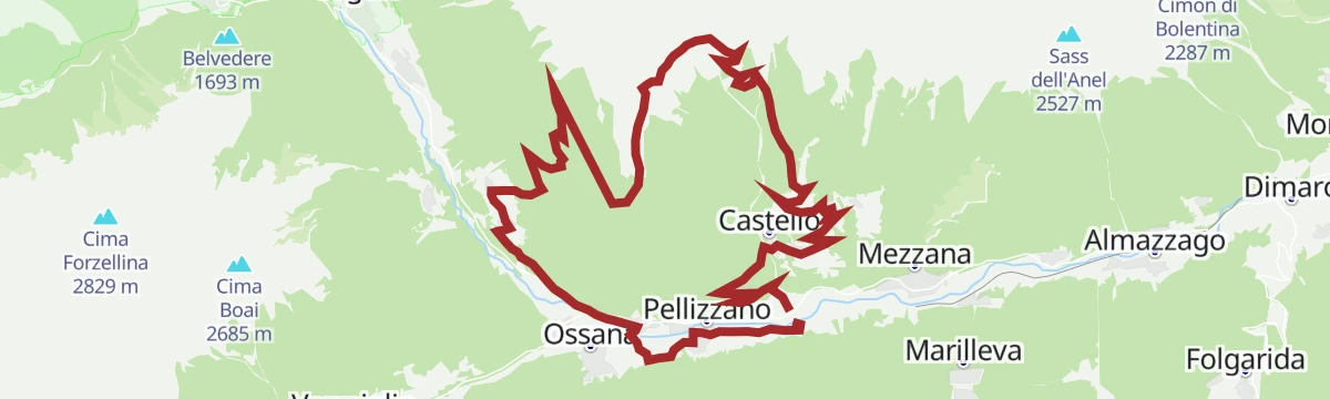
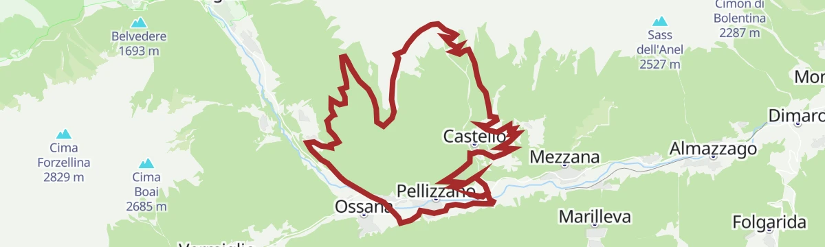
Open route APT Valli di Sole, Peio e RabbiMezzana - Mezzana Waterfall - Castle
A loop from Mezzana to the waterfall above the village, then up to the hamlet of Castello at 1,283 m and back by way of Claiano.
- 7.3 km
- Distance
- 365 m
- Ascent
- 2 h 42 min
- Duration
- 1
- Check-ins
Open route APT Valli di Sole, Peio e RabbiCima Vegaia
A long ascent above Mezzana to Cima Vegaia, the main summit of the Vegaia group on the north side of the Val di Sole.
- 13.2 km
- Distance
- 1 322 m
- Ascent
- 8 h 9 min
- Duration
- 4
- Check-ins
Open route VisitTrentinoAlpine Gravel Lower Valley
A gravel loop across the lower Val di Sole, part valley cycle path and part dirt lane, running out past Ossana's castle walls to Monclassico.
- 48.7 km
- Distance
- 883 m
- Ascent
- 5 h 9 min
- Duration
- 2
- Check-ins
Open route APT Valli di Sole, Peio e RabbiLaresi dela Tegia
A route from Menas to Malga del Monte Bassa and on into a stand of centuries-old larches, with the Adamello and the Brenta peaks opposite.
- 13.0 km
- Distance
- 541 m
- Ascent
- 4 h 22 min
- Duration
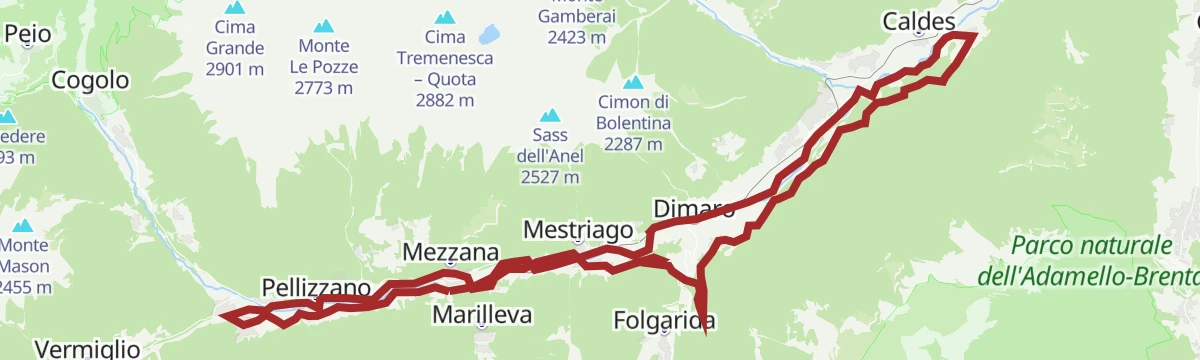
Open route APT Valli di Sole, Peio e RabbiTorrente Noce B
A long valley-floor walk down the Noce through Val di Sole, linking Mezzana, Marilleva, Dimaro and Monclassico.
- 16.9 km
- Distance
- 304 m
- Ascent
- 4 h 27 min
- Duration
Open route Trentino Fishing













No routes of this kind in Mezzana yet.
The region's own picks

Featured route
Trail Stabli Loop N° 726
A short loop from the car park below Malga Stabli above Ortise, climbing a dirt track into thinning larch and open pasture.
Planning a trip to Mezzana?
Everything else Trentino-Alto Adige/Südtirol has, in one place


Take Mezzana with you into the mountains
Every route on this page with 3D terrain, GPX navigation and offline maps — including the valleys with no signal.
Data sources
- Official website: visitvaldisole.it ↗
- Routes and highlights: APT Valli di Sole, Peio e Rabbi, Valdirabbi, Astrotourism, Italia.it, Visit Trentino, VisitTrentino, Trentino Fishing
- Published as open data by the tourist boards named above.
- Region summary generated from the board's own material.
