
Curated by Sterzing, Pfitsch und Freienfeld
Merano/Meran
Spa town where the Passirio meets the Adige, of promenades, the Trauttmansdorff gardens and a racecourse.
- 2Highlights
- 21Routes
- Featured summit · Hochsulfen
Highlights
13 from neighbouring places
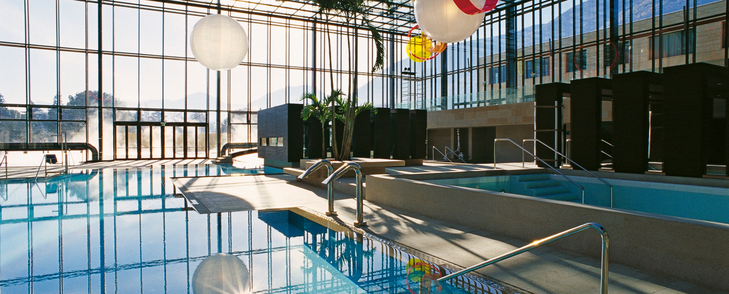
Terme Merano
Thermal pools in Merano under a glass cube by Matteo Thun, with a park along the Passirio.
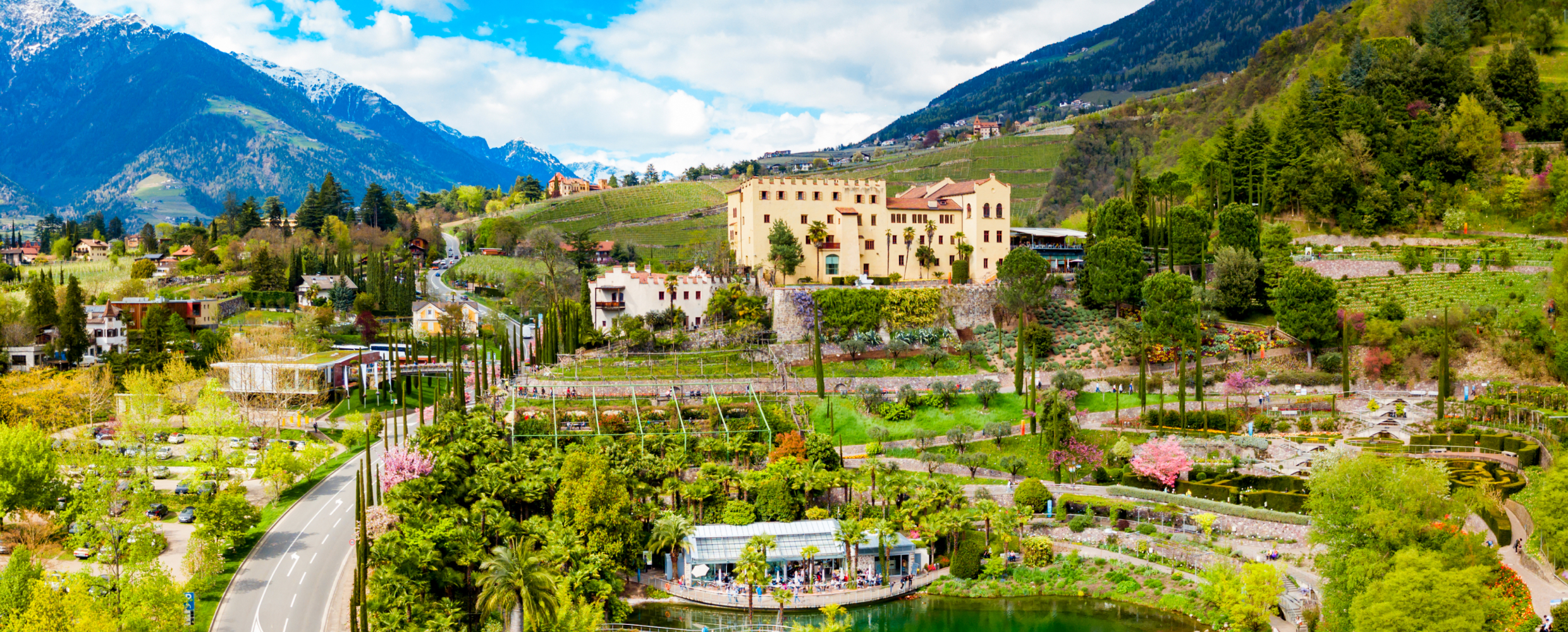
Giardini di Castel Trauttmansdorff
Terraced botanic gardens around a castle above Merano, planted in zones from Mediterranean to Alpine.
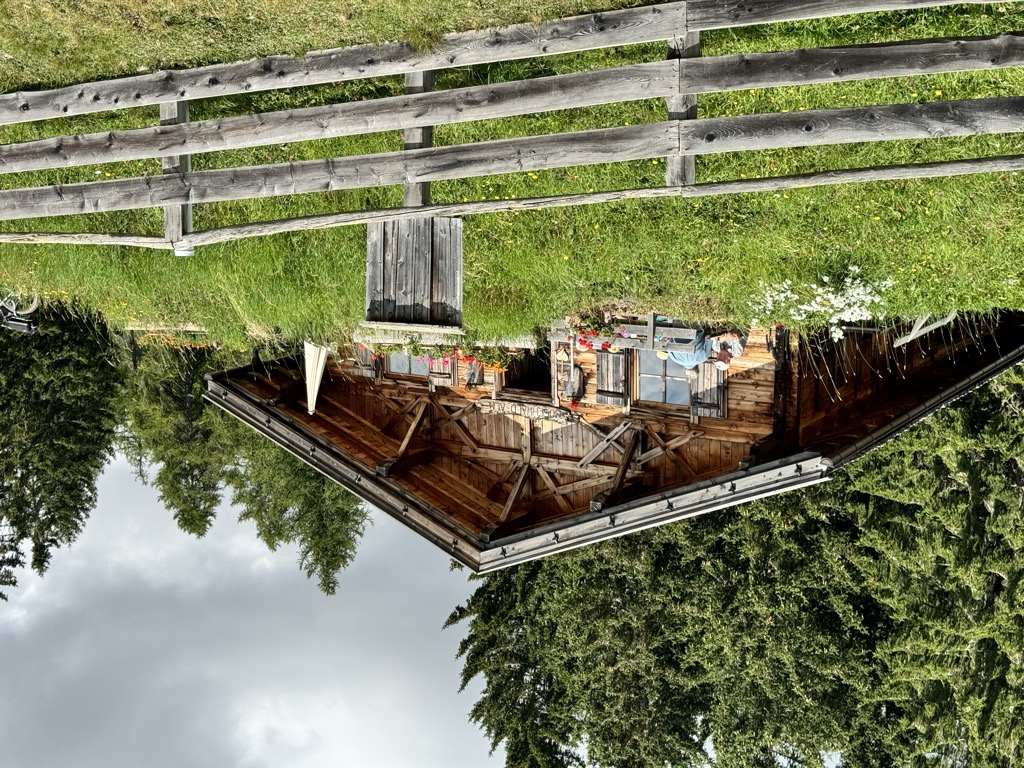
Malga Wurzer
5.8 km away, in Avelengo/Hafling
A dairy hut on the pastures above Avelengo, on the high shelf between Hafling and the Ifinger.
Malga Wurzer Alm
5.8 km away, in Avelengo/Hafling
A working dairy on the Wurzer pastures above Avelengo, on the slopes below the Ifinger, serving what it makes.
Chalet Zuegg
5.9 km away, in Avelengo/Hafling
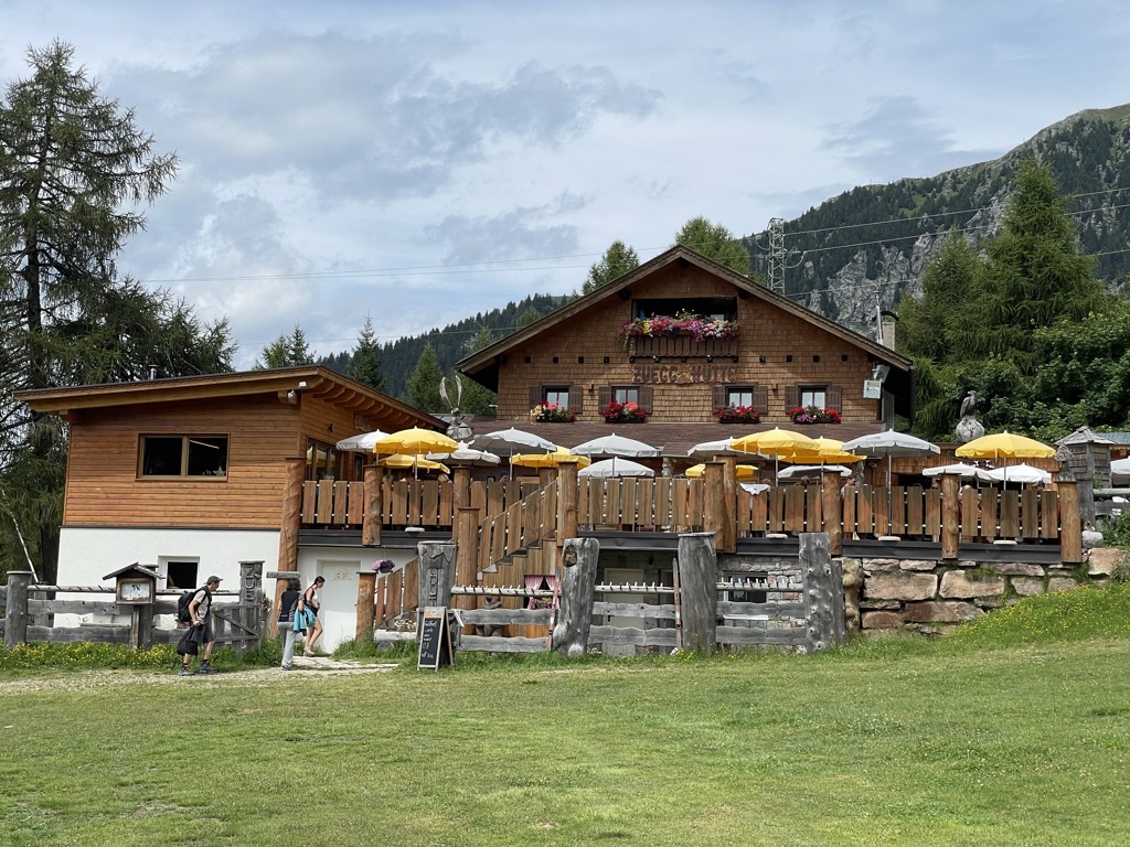
A mountain house on the meadow terrace of Avelengo, high above the Adige valley and below the Merano 2000 pastures.
Malga Moschwaldalm
6.1 km away, in Avelengo/Hafling
A dairy hut on the Moschwald pastures above Avelengo, in the woods below the Merano 2000 plateau.
Sterzing, Pfitsch und FreienfeldMalga Ifinger
6.4 km away, in Scena/Schenna
A dairy hut under the Ifinger above Scena, on the pastures that link the Merano 2000 plateau with the paths to the Hirzer.
Sterzing, Pfitsch und FreienfeldFamily-Alm Gampl
6.9 km away, in Lana/Lana
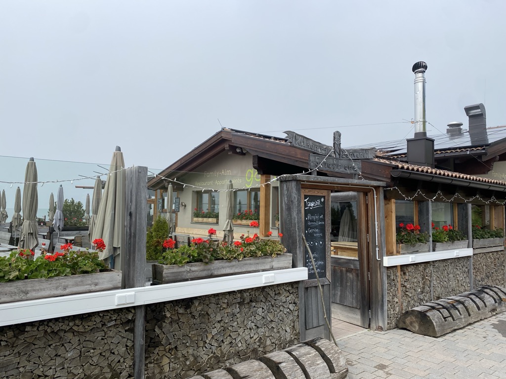
A dairy hut on the wooded slopes above Lana, west of Merano at the mouth of the Val d'Ultimo.
Berg-Gasthof Leiteralm-Schutzhaus
7.7 km away, in Lagundo/Algund
A mountain inn on the Leiter Alm above Lagundo, on the Texel slopes reached from Vellau by lift or by the path from the village.
Sterzing, Pfitsch und FreienfeldMalga Waidmannalm
8 km away, in Avelengo/Hafling
A dairy hut on the Merano 2000 pastures above Avelengo, beside the runs and walking paths of the plateau.
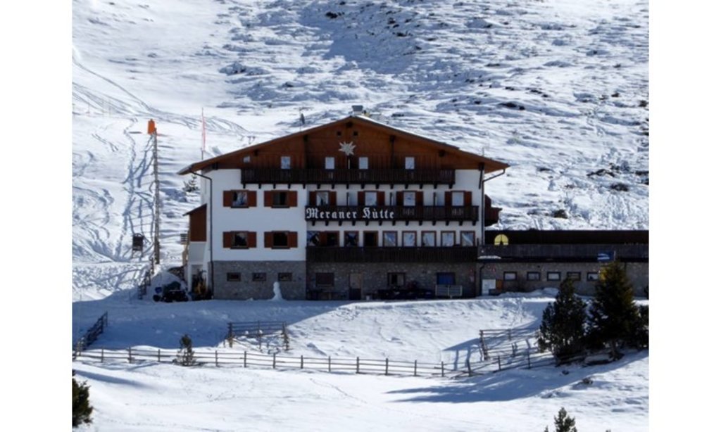
Rifugio Meraner Hütte
8.5 km away, in Avelengo/Hafling
A refuge on the Merano 2000 pastures above Avelengo, below the Kleiner Ifinger, reached from the lifts at Falzeben.
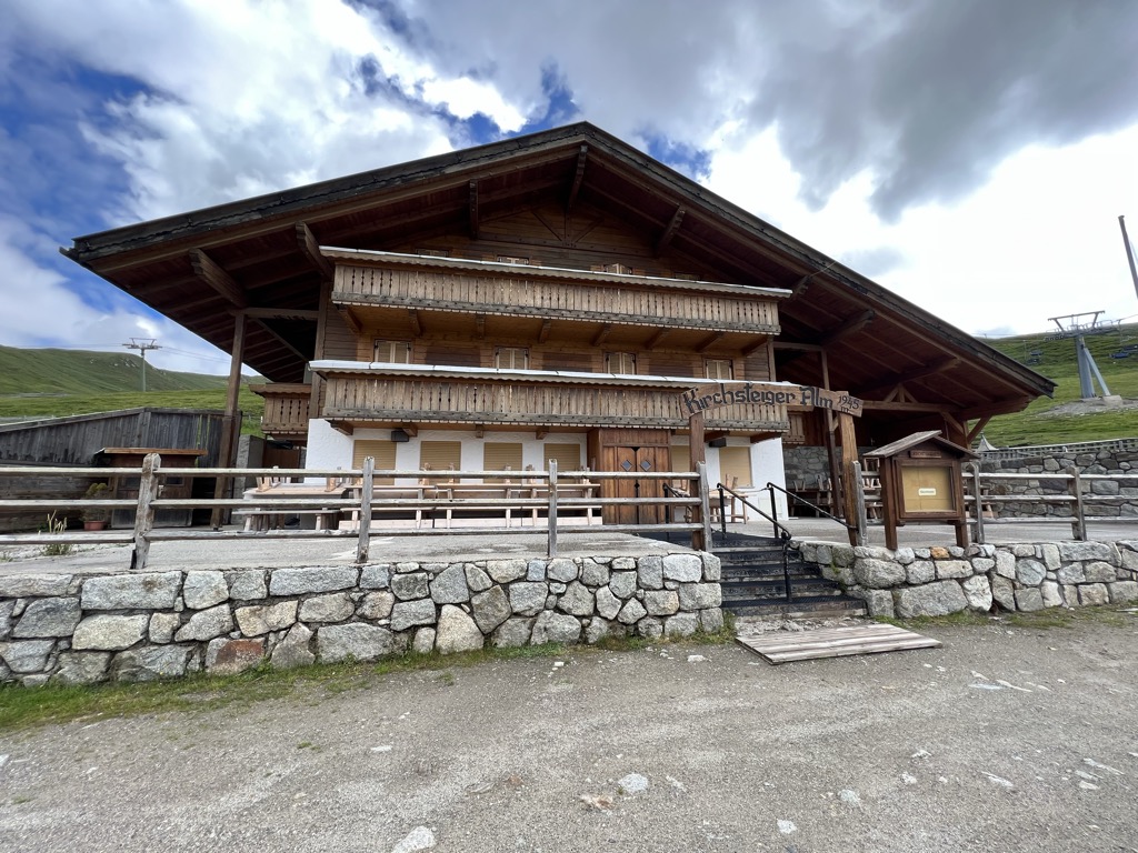
Sterzing, Pfitsch und FreienfeldMalga Kirchsteiger
8.7 km away, in Avelengo/Hafling
A dairy hut above Avelengo, on the pasture slopes between the Hafling farms and the Merano 2000 ski ground.
Stafell Alm - rifugio
9.8 km away, in Scena/Schenna
A pasture hut above Scena, on the open slopes of the Sarntal Alps between the village farms and the Hirzer paths.
Sterzing, Pfitsch und FreienfeldMalga Oberkaser
10.7 km away, in Tirolo/Tirol
A dairy hut on the pastures above Tirolo, at the southern edge of the Gruppo di Tessa nature park north of Merano.
Sterzing, Pfitsch und FreienfeldMalga Hirzerhütte Tallner Alm
11 km away, in Scena/Schenna
A dairy hut on the Tallner pastures below the Hirzer, above Scena, on the high route between the Passeier valley and the Merano side.
 Historic site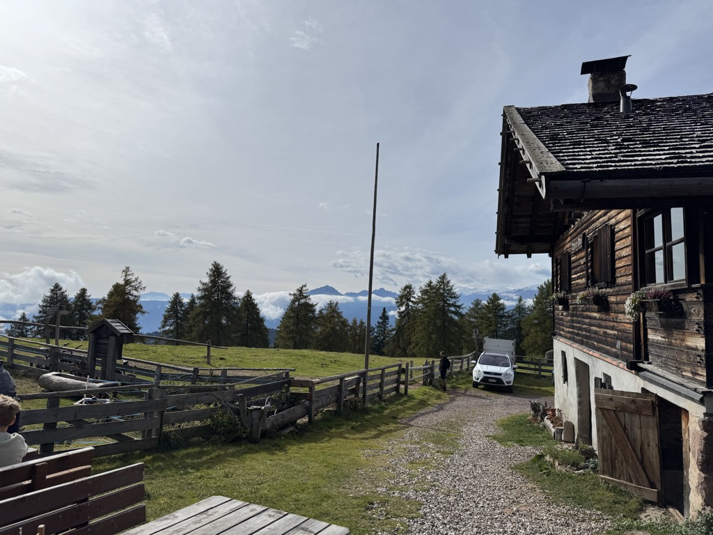
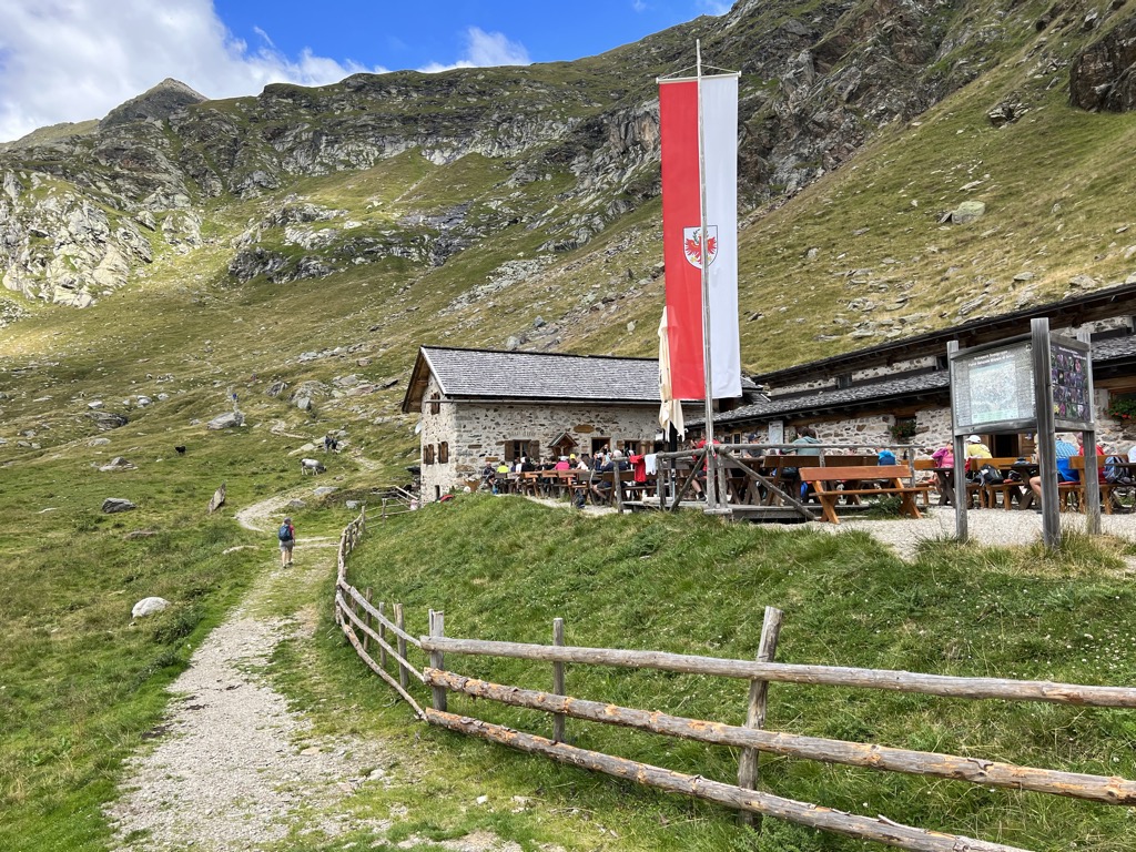
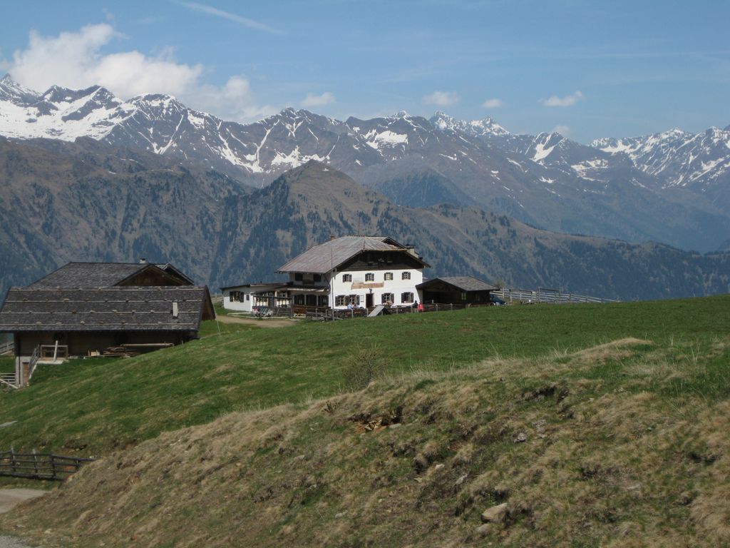
Nothing of this kind in Merano/Meran.
Routes
BiodiverCity
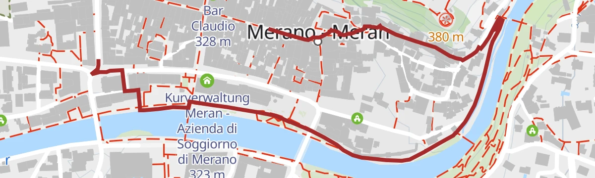
A flat city route through the parks and green corners of Merano, with seventeen audio-guide stops on urban biodiversity.
- 3.4 km
- Distance
- 67 m
- Ascent
- 57 min
- Duration
- 36
- Check-ins
 Kurverwaltung Meran - Azienda di Soggiorno di Merano 323 m
- Küchelberghütte 384 m
- Cafè Vicolo 322 m
- Bar Claudio 328 m
- Bar Linna 323 m
- Sissi - Andrea Fenoglio 321 m
Open route Partschins - Rabland - TöllEscursione lungo il Waalweg di Maia
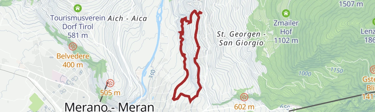
An easy walk along the Maia irrigation channel from Saltusio down to Merano, on the sunny side of the Passiria valley.
- 9.4 km
- Distance
- 57 m
- Ascent
- 2 h 29 min
- Duration
- 6
- Check-ins
Open route Partschins - Rabland - TöllIn bicicletta dal fascino medievale all’atmosfera mediterranea – da Glorenza a Egna
A day-long valley ride from Glorenza to Egna, following the Adige past apple orchards and wine cellars into the Bassa Atesina.
- 105.8 km
- Distance
- 20 m
- Ascent
- 9 h 39 min
- Duration
- 75
- Check-ins
- Maso al Lago - Schenk 237 m
 Quellensee 655 m
- Informationsbüro Kastelbell - Tschars - Associazione turistica di Castelbello - Ciardes 584 m
- Nationalpark Stelvio 913 m
- Moser's Speckhäusl 626 m
- Castelfeder - Grill-Imbiss - ristoro 221 m
- +8
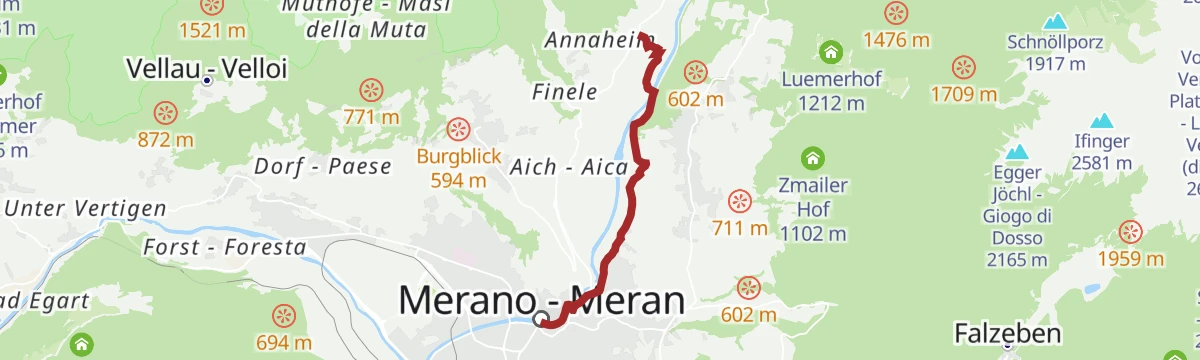
Open route Sterzing, Pfitsch und FreienfeldEscursione invernale lungo via Mitterplatt in centro a Merano
An hour's walk from Scena to Merano on the sunny Mitterplatt lane, through apple orchards and vineyards into the middle of the spa town.
- 4.5 km
- Distance
- 0 m
- Ascent
- 1 h 18 min
- Duration
- 11
- Check-ins
Open route Partschins - Rabland - TöllBy bike from medieval charm to Mediterranean flair – from Glurns to Neumarkt
A long, almost flat point-to-point down the Etschtal from the walled town of Glurns to Neumarkt, on cycle paths through orchards and vineyards.
- 105.5 km
- Distance
- 0 m
- Ascent
- 9 h 36 min
- Duration
- 70
- Check-ins
- Maso al Lago - Schenk 237 m
- Quellensee 655 m
- Informationsbüro Kastelbell - Tschars - Associazione turistica di Castelbello - Ciardes 584 m
- Nationalpark Stelvio 913 m
- Moser's Speckhäusl 626 m
- Castelfeder - Grill-Imbiss - ristoro 221 m
- +5
Open route Südtirols SüdenLiteraTOUR
A short literary circuit of central Merano, with texts by ten writers commissioned for the city library's thirtieth year on via delle Corse.
- 1.6 km
- Distance
- 12 m
- Ascent
- 24 min
- Duration
- 9
- Check-ins
Open route Partschins - Rabland - TöllBolzano to Meran: Etsch Valley Cycling Delight
A mostly level run down the Etsch/Adige cycle path through orchards and vineyards, ending by the Kurhaus and promenades of Meran/Merano.
- 70.1 km
- Distance
- 163 m
- Ascent
- 6 h 22 min
- Duration
- 28
- Check-ins
- Tourist Information 261 m
- Kurverwaltung Meran - Azienda di Soggiorno di Merano 323 m
- Touristinfo 303 m
- Touristen Information - Ufficio informazioni turistiche 283 m
- Naturbar 257 m
Open route Südtirols SüdenPasseggiata Lungo Passirio Merano
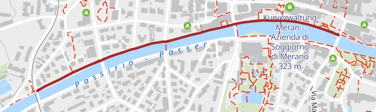
A level promenade along the right bank of the Passirio in central Merano, between the Post, Theatre and Iron bridges, past the Kurhaus.
- 1.2 km
- Distance
- 10 m
- Ascent
- 17 min
- Duration
- 9
- Check-ins
Open route Partschins - Rabland - TöllCiclabile dell' Adige tappa Rablà-Bolzano
A gentle downhill valley stage following the Adige from Rablà through Merano and Gargazzone down to Bolzano.
- 43.2 km
- Distance
- 63 m
- Ascent
- 3 h 59 min
- Duration
- 21
- Check-ins
- Rifugio 375 m
- Laterne 516 m
- Naturbar 257 m
- Naturbad Gargazon 255 m
- Minigolf Treff Algund 376 m
- Al Puntogiusto 257 m
Open route Sterzing, Pfitsch und FreienfeldSentiero di Sissi
A walk in eleven stages between the Trauttmansdorff castle gardens and the middle of Merano, through the places the empress Elisabeth knew.
- 3.3 km
- Distance
- 95 m
- Ascent
- 57 min
- Duration
- 9
- Check-ins
Open route Partschins - Rabland - TöllDa Naturno al Lago di Caldaro
A long, nearly flat run down the Adige from Naturno by Lana and San Paolo to the Kalterer See.
- 56.9 km
- Distance
- 203 m
- Ascent
- 5 h 21 min
- Duration
- 15
- Check-ins
- Castel Ringberg 306 m
- Laterne 516 m
- Naturbar 257 m
- Naturbad Gargazon 255 m
- Minigolf Treff Algund 376 m
- Al Puntogiusto 257 m
Open route Sterzing, Pfitsch und FreienfeldPasseggiata Tappeiner
A promenade given to Merano by the physician Franz Tappeiner, running along Monte Benedetto to Quarazze among cork oak, eucalyptus, palms, cactus and olive.
- 3.2 km
- Distance
- 103 m
- Ascent
- 57 min
- Duration
- 8
- Check-ins
Open route Partschins - Rabland - TöllTour giornaliero a Merano
A day out from Bolzano up the Adige to Merano on the valley cycle path, with almost no climbing.
- 38.4 km
- Distance
- 72 m
- Ascent
- 3 h 27 min
- Duration
- 15
- Check-ins
- Maso al Lago - Schenk 237 m
- Maier Anton Schotterwerk Bozen - Inerti Bolzano 243 m
- Naturbar 257 m
- Naturbad Gargazon 255 m
- Safety Park 235 m
- Al Puntogiusto 257 m
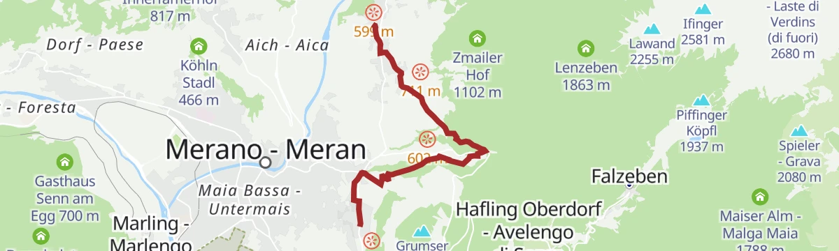
Open route Sterzing, Pfitsch und FreienfeldDa Scena a Trauttmansdorff
A two-hour walk from Scena past Vernaun and Labers castles to the gardens of Castel Trauttmansdorff and the provincial tourism museum.
- 6.6 km
- Distance
- 99 m
- Ascent
- 1 h 60 min
- Duration
- 4
- Check-ins
Open route Partschins - Rabland - TöllDa Rifiano alla Passeggiata Lungopassirio di Merano
A level walk down the Passirio from Rifiano by the Granner bridge and the Lazag grounds to the winter promenade and the Sissi park at Merano.
- 5.0 km
- Distance
- 23 m
- Ascent
- 1 h 24 min
- Duration
- 3
- Check-ins
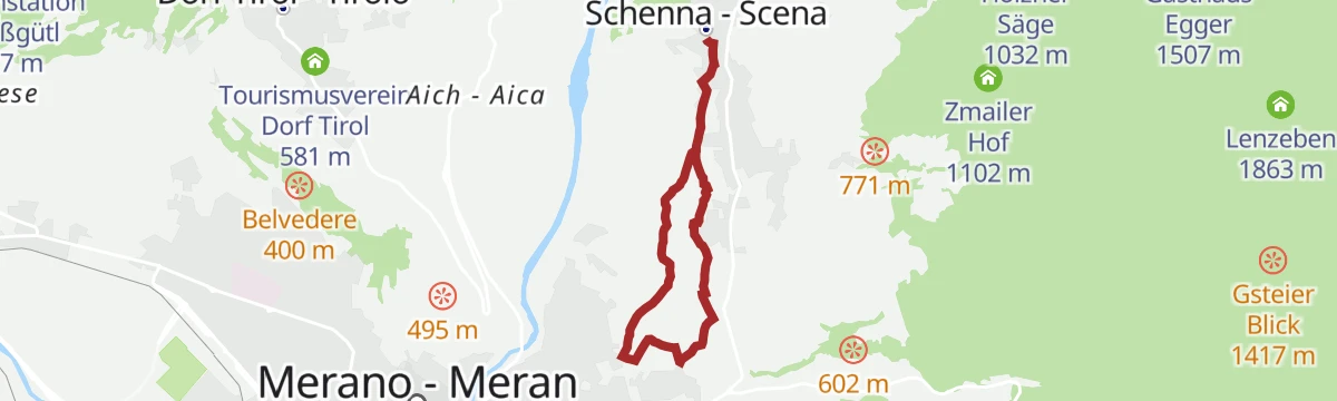
Open route Partschins - Rabland - TöllEscursione ad anello dal centro paese di Scena
An hour and a half round from the middle of Scena, taking in the historic and cultural corners of the village and its surroundings.
- 4.9 km
- Distance
- 157 m
- Ascent
- 1 h 32 min
- Duration
- 2
- Check-ins
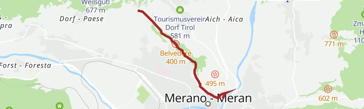
Open route Partschins - Rabland - TöllAl belvedere Hochsulfen
A short walk from the Santa Caterina chapel south through shaded wood to the Hochsulfen top at 1,345 m, with a rest area for children.
- 2.2 km
- Distance
- 110 m
- Ascent
- 48 min
- Duration
- 1
- Check-ins
Open route Partschins - Rabland - TöllIl sentiero del vino
A themed walk through the vineyards of Schenna, with more than twenty stations on winemaking and views to Castel Schenna and Merano.
- 5.3 km
- Distance
- 167 m
- Ascent
- 1 h 39 min
- Duration
Open route Partschins - Rabland - TöllPasseggiata Gilf
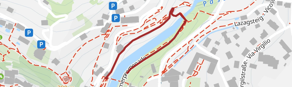
A short walk on both banks of the Passirio where the torrent leaves its gorge, among subtropical planting, with love poems burnt into panels along it.
- 520 m
- Distance
- 10 m
- Ascent
- 9 min
- Duration
Open route Partschins - Rabland - TöllPasseggiata d'Estate
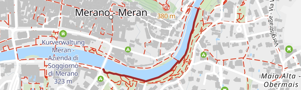
The shaded bank of the Passirio opposite the winter promenade, under cedars, sequoias, poplars and pines, starting in the Elisabeth park and its statue of Sissi.
- 615 m
- Distance
- 0 m
- Ascent
- 9 min
- Duration
Open route Partschins - Rabland - TöllPasseggiata d'Inverno
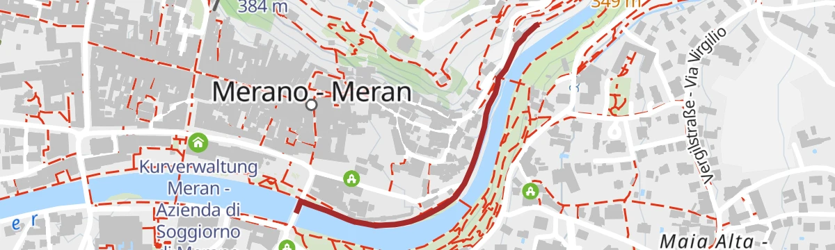
The sunny, wind-sheltered bank of the Passirio upstream of the town promenade, with the arcaded Wandelhalle and its landscape paintings and busts.
- 662 m
- Distance
- 23 m
- Ascent
- 11 min
- Duration
Open route Partschins - Rabland - Töll








No routes of this kind in Merano/Meran yet.
The region's own picks
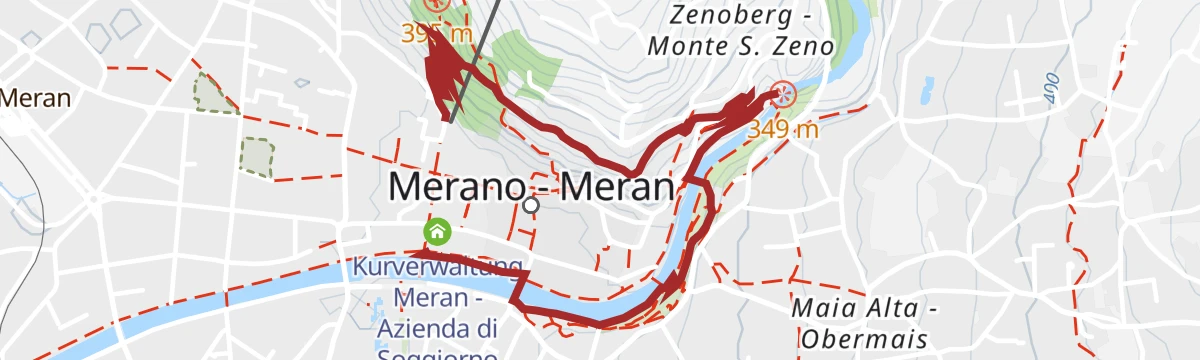
Featured route
BiodiverCity
A flat city route through the parks and green corners of Merano, with seventeen audio-guide stops on urban biodiversity.
Planning a trip to Merano/Meran?
Everything else Trentino-Alto Adige/Südtirol has, in one place


Take Merano/Meran with you into the mountains
Every route on this page with 3D terrain, GPX navigation and offline maps — including the valleys with no signal.
Data sources
- Official website: suedtirol.info ↗
- Routes and highlights: Sterzing, Pfitsch und Freienfeld, Partschins - Rabland - Töll, Italia.it, Südtirols Süden, YesAlps
- Published as open data by the tourist boards named above.
- Region summary generated from the board's own material.
