
Curated by Vorarlberg Tourismus
Mellau
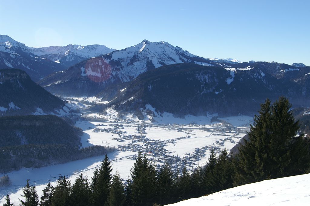
At the foot of the Kanisfluh at 700 m, joined by lift across the ridge to Damüls.
- 5Highlights
- 37Routes
Highlights
10 from neighbouring places
Hangspitze
A 1,746 m secondary top of the Leuenkopf, about three hours on foot from Mellau.
Mörzelspitze
A 1,829 m secondary top of the Leuenkopf, standing on the boundary between Mellau and Dornbirn.
Mellaubahn
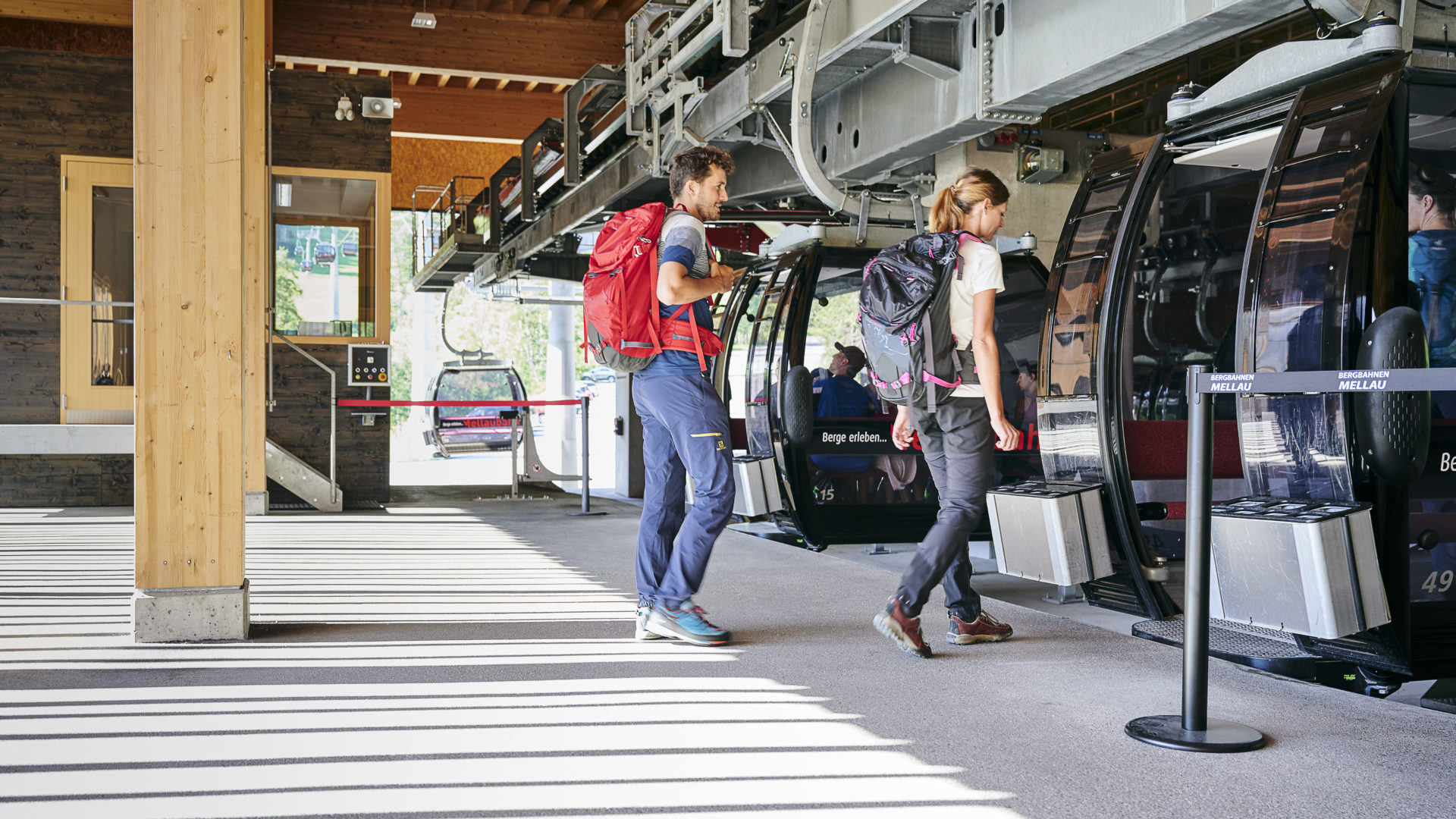
The cable car up from the village, its timber-clad valley and top stations worth a look in themselves.
Schwimmbad Mellau
An open-air pool in a quiet, sunny spot directly on the Mellenbach.
Hählesattel
A saddle at 1,878 m on the high ground south of the village, on the way between the alps.
Hochblankensattel
1.3 km away, in Damüls
A saddle at 1,980 m immediately below the Hochblanken, on the ridge walk above the village.
Hochblanken
1.3 km away, in Damüls
A 2,068 m summit on the ridge above Damüls, reached from the top of the Uga chairlift.
Damülser Mittagsspitze
1.6 km away, in Damüls
At 2,095 m the highest point of the municipality and the highest of the Damüls mountains.
Ragazer Blanken
2.6 km away, in Damüls
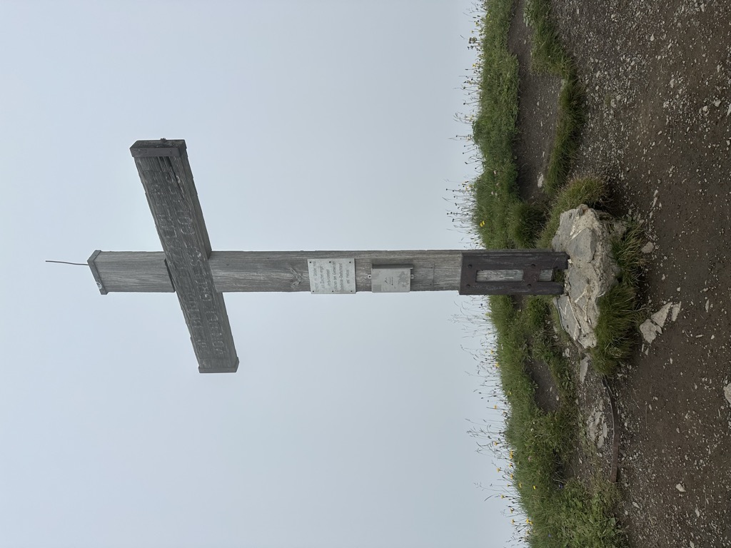
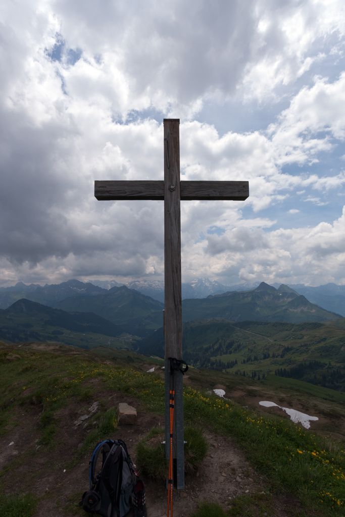
A 2,051 m secondary top of the Hochblanken in the Damüls mountains, its summit cross set on the marked high point.
Gungern
2.8 km away, in Au
A 2,053 m top on the ridge that runs south from the village towards the Damüls mountains.
Hoher Stoß
3.6 km away, in Schnepfau
A 1,948 m summit on the same southern ridge, below the higher tops of the Damüls group.
Portlahorn
4 km away, in Damüls
A 2,010 m peak of the Bregenzerwald range, close to the Blauer See and about 3 km from the Furkajoch.
Korbschrofen
4 km away, in Au
A 1,828 m rock top four and a half kilometres south-east of the village, on the way to the Gungern.
Schneereich Damüls-Mellau-Faschina
4.1 km away, in Damüls
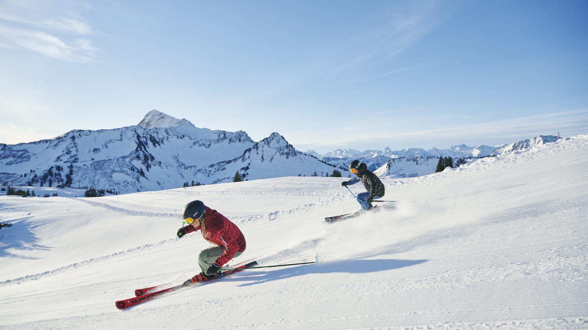
The linked ski area of three villages, where skiers at Damüls start from their own doorstep onto the pistes.
Holenke
4.2 km away, in Au
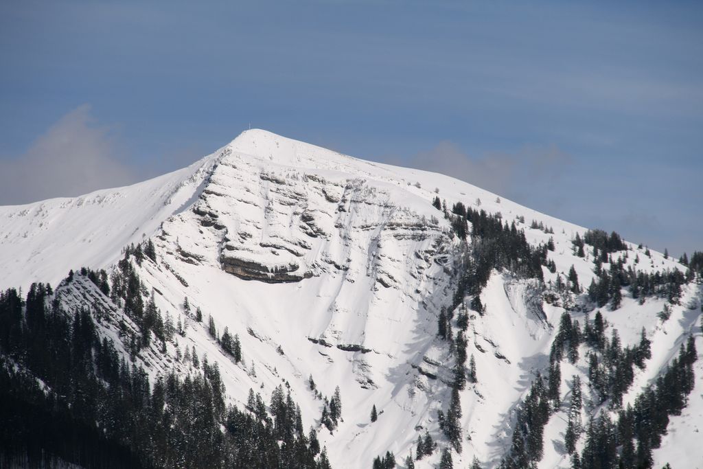
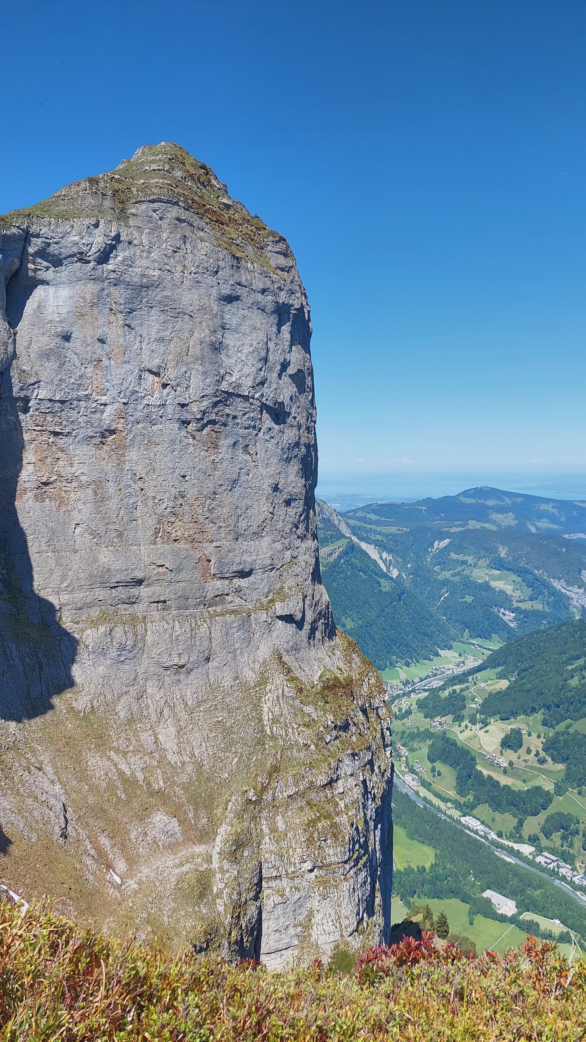
At 2,044 m the highest point of the Kanisfluh, the mostly isolated massif that is the landmark of the Bregenzerwald.
 Cable car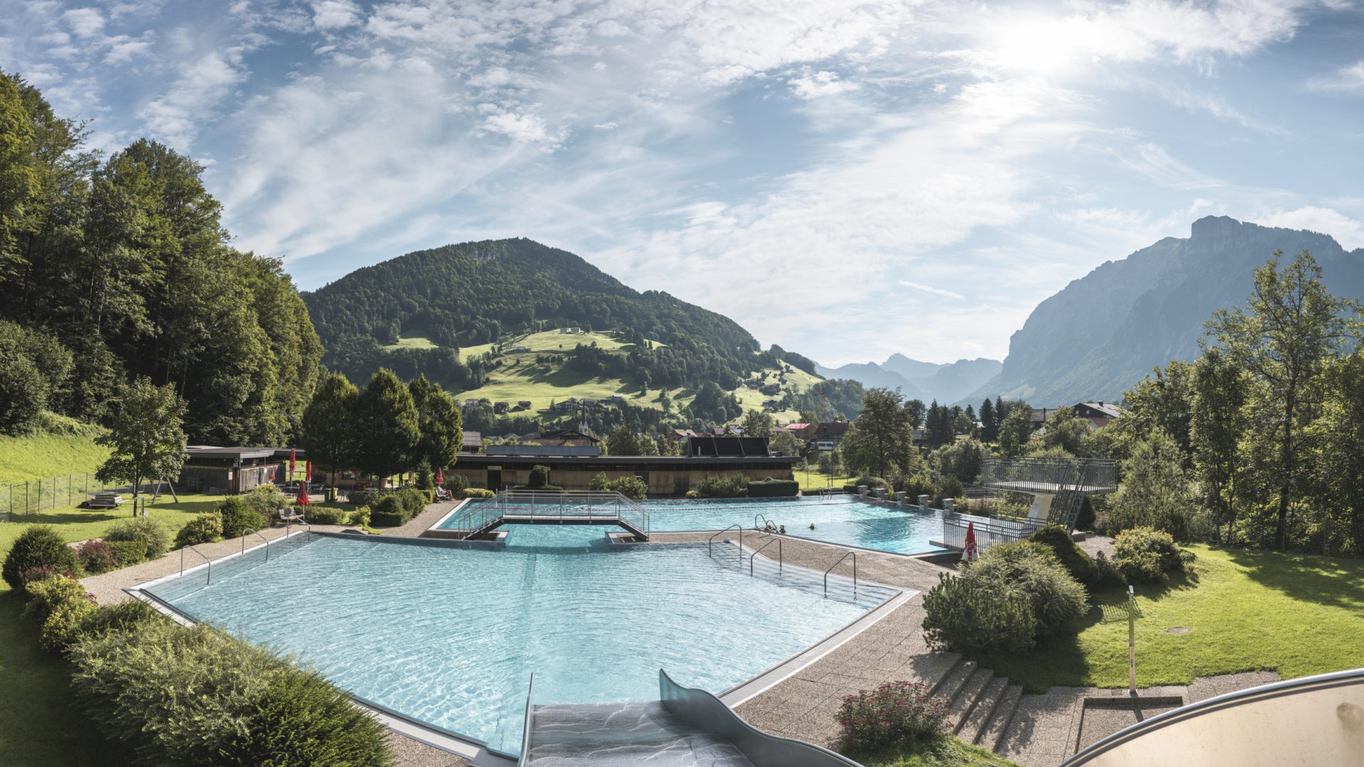
 Mountain pass
Nothing of this kind in Mellau.
Routes
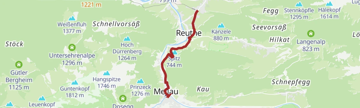
Mellau | Ortszentrum – Zimmerau – Klausbrücke – Herburg – Reuthe – Bezau
A flat link from the middle of Mellau by the Klausbrücke and Herburg through Reuthe to Bezau.
- 5.0 km
- Distance
- 45 m
- Ascent
- 1 h 20 min
- Duration
Open route Vorarlberg TourismusAlpwandern | Damüls/Ugaalpe – Mellau/Rossstelle
A one-way crossing from Damüls over several staffed alps to the Roßstelle top station above Mellau.
- 10.2 km
- Distance
- 299 m
- Ascent
- 3 h 32 min
- Duration
Open route Vorarlberg TourismusMellau l Alpe Mösle (über Suttisweg)
The Suttisweg approach to the Alpe Mösle above Mellau, 825 m of climbing.
- 17.8 km
- Distance
- 735 m
- Ascent
- 5 h 60 min
- Duration
Open route Vorarlberg TourismusMellau - Hangspitze
From Mellau at 682 m, 1,047 m of ascent over 5.1 km to Hangspitze.
- 4.3 km
- Distance
- 0 m
- Ascent
- 0 m
- Descent
- 1 h 3 min
- Duration
Open route PeakVisor tTRL (OpenStreetMap piste_type=skitour)Mellau - Guntenkopf
A ski tour from Mellau to Guntenkopf, 1,079 m of climbing in 7.3 km to a high point of 1,794 m.
- 6.2 km
- Distance
- 0 m
- Ascent
- 0 m
- Descent
- 1 h 31 min
- Duration
Open route PeakVisor tTRL (OpenStreetMap piste_type=skitour)Au | Skitour Kanisfluh
The south side of the Kanisfluh, whose north wall drops over 1,200 m — a fine and in places steep ski tour.
- 5.8 km
- Distance
- 1 206 m
- Ascent
- 0 m
- Descent
- 3 h 17 min
- Duration
Open route Vorarlberg Tourismus40 Jahre Bodensee-Radweg: Den Bregenzerwald entdecken
A ride along the Bregenzerache that can be combined with the R1 cycle bus, past old Wälder houses and new timber buildings.
- 47.1 km
- Distance
- 596 m
- Ascent
- 4 h 47 min
- Duration
Open route Vorarlberg TourismusAu | Sonnenauf- und Sonnenuntergangswanderung auf die Kanisfluh
A pre-dawn or evening climb from the Alpengasthof Edelweiß to the 2,044 m Kanisfluh, the landmark of the Bregenzerwald.
- 5.4 km
- Distance
- 555 m
- Ascent
- 3 h 23 min
- Duration
Open route Vorarlberg TourismusMellau l Rundwanderung über die Schnepfegg
A low valley walk linking Mellau and Schnepfau over the Schnepfegg terrace and two vorsäß settlements.
- 19.3 km
- Distance
- 600 m
- Ascent
- 5 h 50 min
- Duration
Open route Vorarlberg TourismusMellau - Hangspitze-Ostgrat
Hangspitze-Ostgrat from Mellau: 741 m of climbing in 4.2 km, topping out at 1,425 m.
- 3.6 km
- Distance
- 0 m
- Ascent
- 0 m
- Descent
- 53 min
- Duration
Open route PeakVisor tTRL (OpenStreetMap piste_type=skitour)Mellau - Mörzelspitze
1,160 m on skis from Mellau to Mörzelspitze, 11.2 km with its high point at 1,824 m.
- 9.9 km
- Distance
- 0 m
- Ascent
- 0 m
- Descent
- 2 h 25 min
- Duration
Open route PeakVisor tTRL (OpenStreetMap piste_type=skitour)Bezau | Bezau – Schönenbach – Ostergunten – Au
A ride from Bezau by Bizau to Schönenbach, on over the Ostergunten sattel and down to Au.
- 38.5 km
- Distance
- 1 172 m
- Ascent
- 4 h 31 min
- Duration
Open route Vorarlberg TourismusDamüls | Alphüttenwanderung Damüls-Mellau-Faschina – Teil 3
The third stage of the alp-hut walk, a high round from the Uga top station over five alps under the Kanisfluh ridge.
- 13.7 km
- Distance
- 857 m
- Ascent
- 5 h 53 min
- Duration
Open route Vorarlberg TourismusMellau | Alpe Mösle (über Roßstelle) – Mellental
A long alp circuit from the Roßstelle lift by Wildgunten, Mösle and Hauser back into the Mellental.
- 22.2 km
- Distance
- 476 m
- Ascent
- 6 h 58 min
- Duration
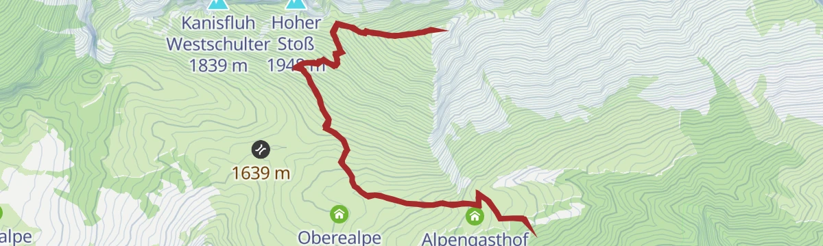
Open route Vorarlberg TourismusRoßstellenalpe - Kanisfluh
From Roßstellenalpe at 1,390 m, 4.7 km and 629 m of climbing to Kanisfluh at 2,023 m.
- 3.8 km
- Distance
- 0 m
- Ascent
- 0 m
- Descent
- 56 min
- Duration
Open route PeakVisor tTRL (OpenStreetMap piste_type=skitour)Bezau | Mellau – Schnepfegg – Bezau
A valley round linking Bezau, Mellau, the Schnepfegg terrace and Bizau on forest and field roads.
- 21.0 km
- Distance
- 603 m
- Ascent
- 2 h 26 min
- Duration
Open route Vorarlberg TourismusDamüls | Rund um die Klippern
A lift-served circuit of the Klippern, passing the Damülser Mittagspitze and five working alps on the way round.
- 13.5 km
- Distance
- 759 m
- Ascent
- 5 h 22 min
- Duration
Open route Vorarlberg TourismusMellau | Damülser Mittagspitze (Auf- und Abstieg über Hofstetten)
The Damülser Mittagspitze from the valley at Mellau, crossing the crest twice by way of Hofstetten and the Alpe Wannen.
- 16.1 km
- Distance
- 1 406 m
- Ascent
- 8 h 53 min
- Duration
Open route Vorarlberg TourismusDamüls | Mellau nach Damüls
A climb from the Mellau valley station over the Roßstelle and the Alpe Kanis to Damüls, ending past the Edelweiß inn.
- 25.4 km
- Distance
- 1 487 m
- Ascent
- 3 h 29 min
- Duration
Open route Vorarlberg TourismusMellau | Damülser Mittagspitze (Abstieg über Alpe Uga)
The Mittagspitze from the Roßstelle top station, crossing the crest and dropping to the Alpe Uga for the bus back.
- 7.4 km
- Distance
- 712 m
- Ascent
- 3 h 37 min
- Duration
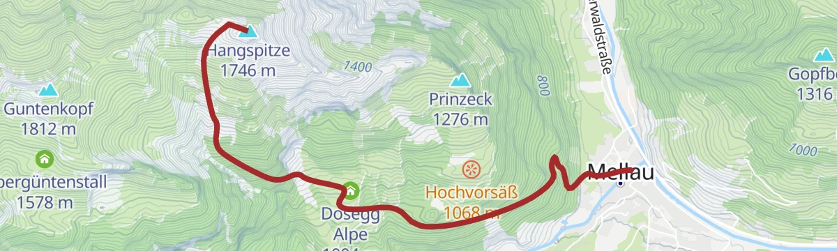
Open route Vorarlberg TourismusMellau | Hangspitze
A shaded walk largely through woods, passing the protected sycamores that have stood by the Waldalpe for generations.
- 14.9 km
- Distance
- 1 132 m
- Ascent
- 7 h 22 min
- Duration
Open route Vorarlberg TourismusDamüls | Rundtour um die Kanisfluh
A full lap of the Kanisfluh by road and alp track, over the Roßstelle and past the Berggasthaus Edelweiß.
- 44.4 km
- Distance
- 1 512 m
- Ascent
- 5 h 22 min
- Duration
Open route Vorarlberg TourismusMellau | Gopfwanderung
Along the Bregenzerache and up the wooded Gopf with its vorsäß huts, with views out over the valley villages.
- 8.5 km
- Distance
- 611 m
- Ascent
- 4 h 3 min
- Duration
Open route Vorarlberg TourismusMellau | Rundwanderung um den Gopfberg
A low circuit of the Gopfberg linking Mellau, Reuthe, Bizau and Schnepfau by the Bizauer Moos.
- 15.1 km
- Distance
- 257 m
- Ascent
- 4 h 10 min
- Duration
Open route Vorarlberg TourismusMellau l Mellau – Schnepfegg – Hirschberg
A ride from Mellau over the Schnepfegg to the three Hirschberg alps and back down the same road.
- 28.7 km
- Distance
- 1 003 m
- Ascent
- 3 h 30 min
- Duration
Open route Vorarlberg TourismusMellau | Rundwanderung Vorsäß Kau
A short round from the middle of Mellau up to the Vorsäß Kau with its chapel, returning by the Vorsäß Boden.
- 9.2 km
- Distance
- 421 m
- Ascent
- 3 h 12 min
- Duration
Open route Vorarlberg TourismusMellau | Sünserspitze (Abstieg nach Damüls)
A cable-car start to the Roßstelle, then a traverse of the alps to the Sünserspitze and down over the Sünser Joch to Damüls.
- 16.4 km
- Distance
- 891 m
- Ascent
- 6 h 23 min
- Duration
Open route Vorarlberg TourismusMellau l Rennrad Mellau – Lorenapass
A road ride linking eight villages of the middle Bregenzerwald over the Bödele and the Lorenapass.
- 42.9 km
- Distance
- 738 m
- Ascent
- 4 h 30 min
- Duration
Open route Vorarlberg TourismusMellau | Rundweg Roßstelle und auf die Kanisfluh
From the Roßstelle top station to the Holenke, the highest point of the Kanisfluh, returning by the Edelweiß inn.
- 11.8 km
- Distance
- 814 m
- Ascent
- 5 h 26 min
- Duration
Open route Vorarlberg TourismusMellau | Sünserspitze (Abstieg nach Mellau)
A cable-car start to the Roßstelle, then out over four working alps to the Sünserspitze and back the same line.
- 19.5 km
- Distance
- 1 045 m
- Ascent
- 7 h 28 min
- Duration
Open route Vorarlberg TourismusMellau l Rennrad Mellau – Vorderwald
A long road round out of Mellau taking in most of the villages of the outer Bregenzerwald.
- 51.4 km
- Distance
- 894 m
- Ascent
- 5 h 24 min
- Duration
Open route Vorarlberg TourismusSchwarzenberg | Bödele – Mellau
From the Bödele past a summer colony built by the Hämmerle family in 1901, then down the whole way to Mellau.
- 16.9 km
- Distance
- 381 m
- Ascent
- 5 h 19 min
- Duration
Open route Vorarlberg TourismusMellau | Kanisfluh „Klassiker“
The classic lap of the Kanisfluh, a demanding circuit of the mountain that stands over the whole Bregenzerwald.
- 32.9 km
- Distance
- 1 206 m
- Ascent
- 4 h 4 min
- Duration
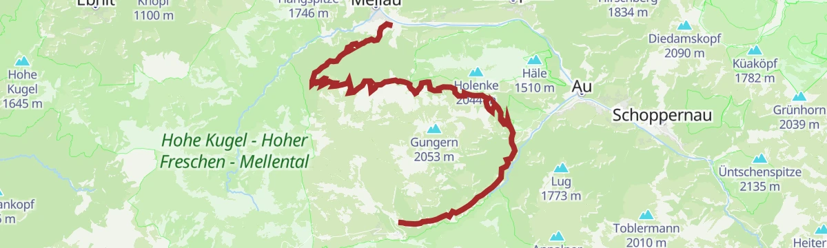
Open route Vorarlberg TourismusMellau | Mellau – Au – Bergkristallhütte – (Annalpe)
Down the valley cycle path to Au, then a climb through the Bodenvorsäß to the Bergkristallhütte and back the same way.
- 38.4 km
- Distance
- 1 243 m
- Ascent
- 4 h 35 min
- Duration
Open route Vorarlberg TourismusMellau | Roßstelle – Mellental (mit Bergbahn)
A beginner's ride: the lift to the Roßstelle, then the alp country of the Mellental down to the village.
- 19.8 km
- Distance
- 412 m
- Ascent
- 2 h 23 min
- Duration
Open route Vorarlberg TourismusRadweg Bregenzerwald
The valley cycle route from Schoppernau down to Doren, following the Bregenzerache the whole way.
- 39.4 km
- Distance
- 234 m
- Ascent
- 3 h 51 min
- Duration
Open route Vorarlberg TourismusSchoppernau | Gravelbike-Runde um die Kanisfluh
A full lap of the Kanisfluh on gravel, mixing the valley cycle path with higher, more open sections before Au.
- 37.8 km
- Distance
- 1 150 m
- Ascent
- 4 h 27 min
- Duration
Open route Vorarlberg Tourismus








No routes of this kind in Mellau yet.
Planning a trip to Mellau?
Everything else Vorarlberg has, in one place


Take Mellau with you into the mountains
Every route on this page with 3D terrain, GPX navigation and offline maps — including the valleys with no signal.
Data sources
- Official website: bregenzerwald.at ↗
- Routes and highlights: Vorarlberg Tourismus, PeakVisor / OpenStreetMap, PeakVisor tTRL (OpenStreetMap piste_type=skitour), Bregenzerwald Tourismus
- Published as open data by the tourist boards named above.
