
Curated by Mayrhofen
Mayrhofen
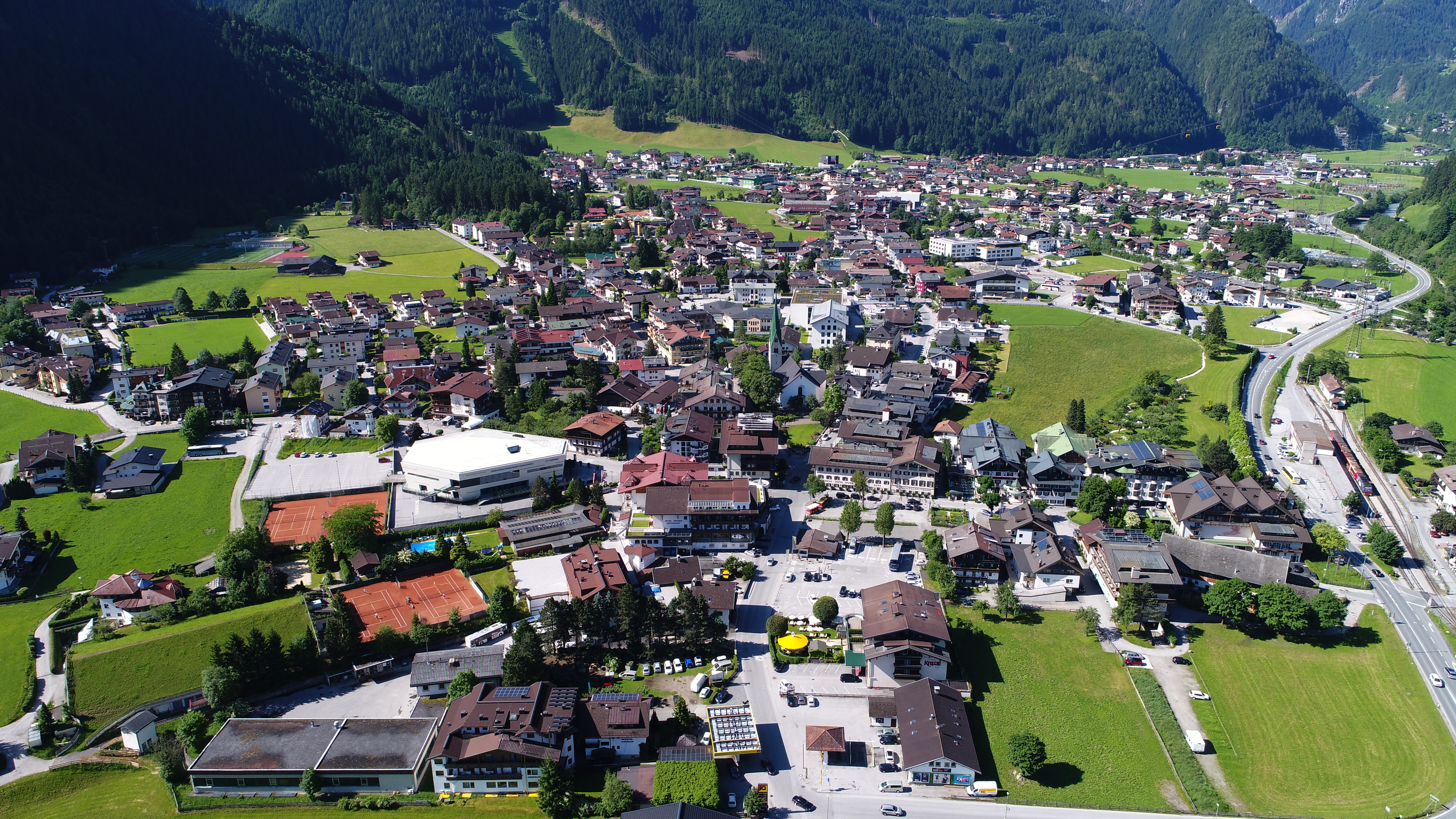
Where the inner Zillertal ends and several side valleys fan out under the Zillertal Alps, a large ski and climbing resort with Ginzling higher up in the nature park.
- 10Highlights
- 3Routes
Highlights
5 from neighbouring places
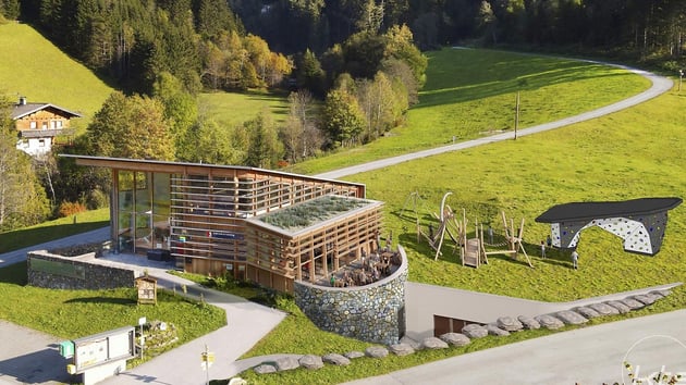
Naturparkhaus Ginzling
The information centre of the Zillertal Alps high mountain nature park, at Ginzling above Mayrhofen.
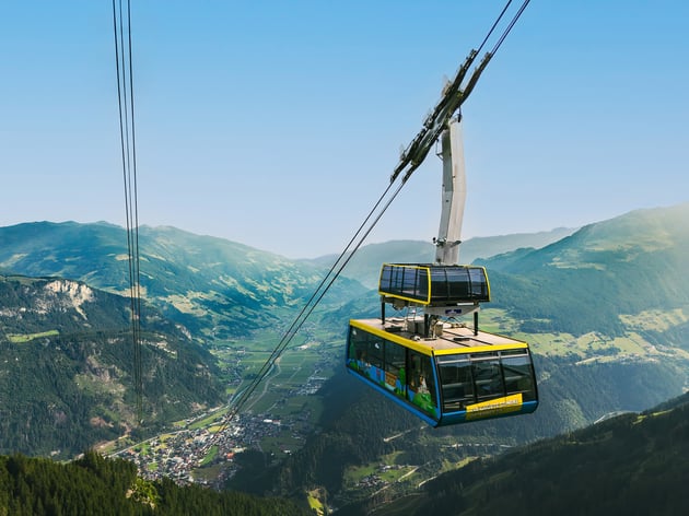
SEILBAHNFÜHRUNG AHORNBAHN IM SOMMER
A guided look behind the scenes of the Ahornbahn at Mayrhofen, the cable car with one of the largest cabins in Austria.
SEILBAHNFÜHRUNG PENKENBAHN IM SOMMER
A guided look behind the scenes of the Penkenbahn, the gondola from Mayrhofen up onto the Penken in the Zillertal.
SONNENAUFGANGSGONDEL AHORN
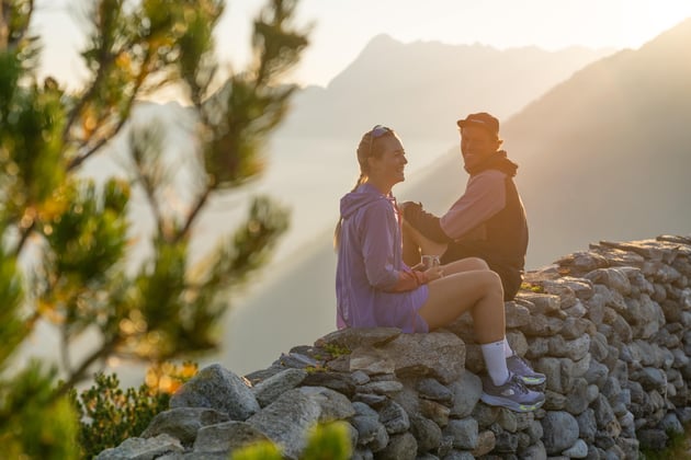
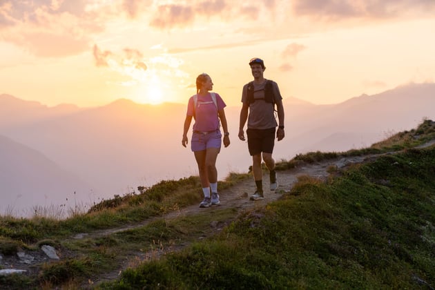
An early ride on the Ahornbahn from Mayrhofen to reach the Ahorn plateau in time for sunrise.
SONNENUNTERGANGSGONDEL AHORN
A late ride on the Ahornbahn above Mayrhofen, timed so that guests can watch the sunset from the Ahorn.
Ab-Hof-Verkauf der Erlebnissennerei Zillertal
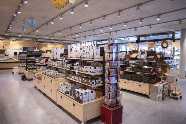
The farm shop of the Erlebnissennerei at Mayrhofen, selling cheese and dairy products from the Zillertal.
Erlebnisbad Mayrhofen Ges.m.b.H
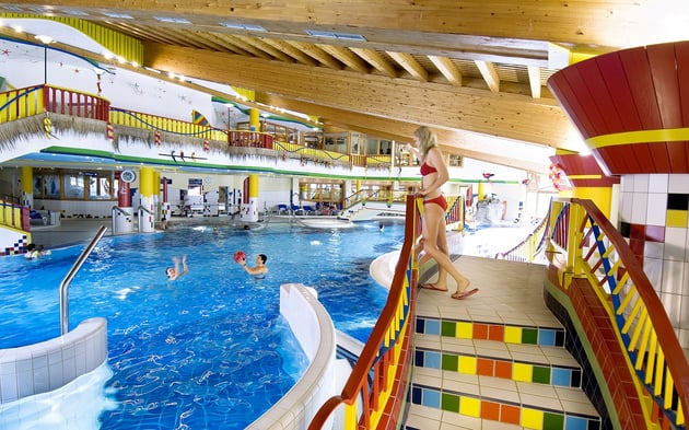
The indoor and outdoor pools of Mayrhofen in the Zillertal of Tyrol.
Erlebnissennerei Zillertal
A show dairy at Mayrhofen in the Zillertal, where cheese and other dairy making can be watched.
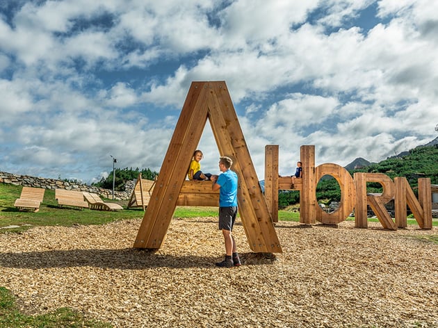
Bergspielplatz Ahorn
A mountain playground on the Ahorn plateau above Mayrhofen, at the top of the Ahornbahn.
Brück'n Stadl
A hut-style bar by the bridge in Mayrhofen, busy with skiers at the end of the day in the Zillertal.
Berliner Hütte 2.042m
8.3 km away, in Finkenberg
An alpine club hut at 2,042 m in the Zemmgrund above Ginzling, protected as a historic building.
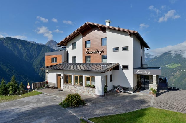
Berggasthof Steinerkogl
8.7 km away, in Brandberg
A mountain inn on the slopes at Brandberg, above Mayrhofen in the Zillertal of Tyrol.
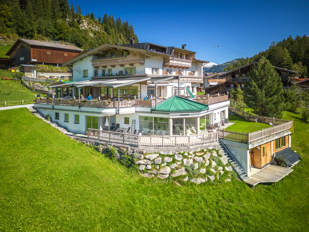
Alpengasthof Astegg 1.170m
8.9 km away, in Finkenberg
An inn at 1,170 m on the Penken above Finkenberg in the Zillertal of Tyrol.
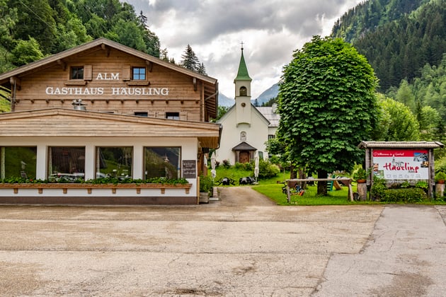
Gasthof Häusling Alm 1.050m
9.8 km away, in Brandberg
An inn at 1,050 m in the Zillergrund above Brandberg, on the road into the upper Ziller valley.
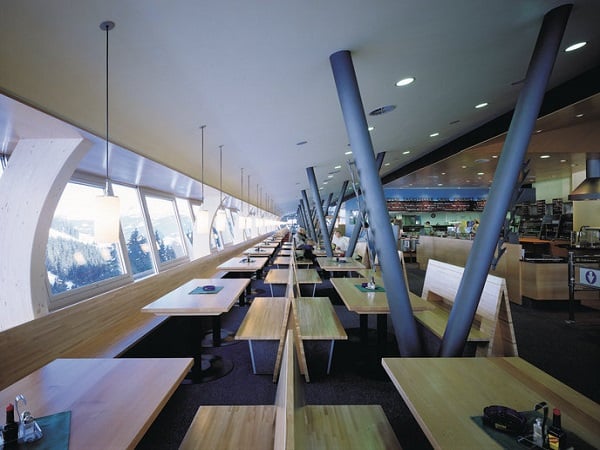
Bergrestaurant Horberg 1.650m
11.2 km away, in Schwendau
A mountain restaurant at 1,650 m in the Horberg area above Schwendau in the Zillertal of Tyrol.
 Cable car

 Mountain hut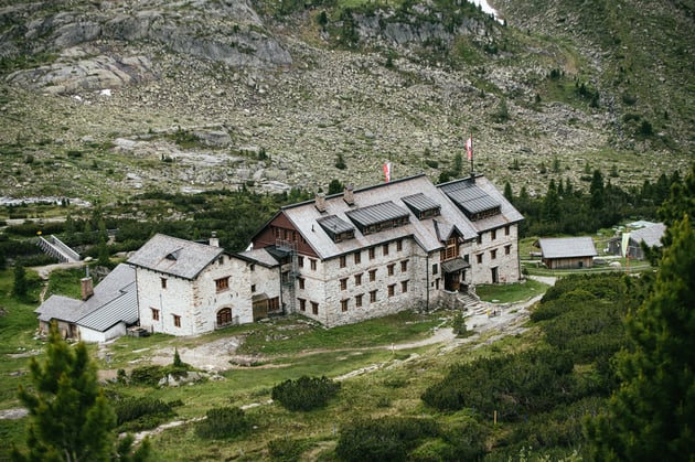
Nothing of this kind in Mayrhofen.
Routes
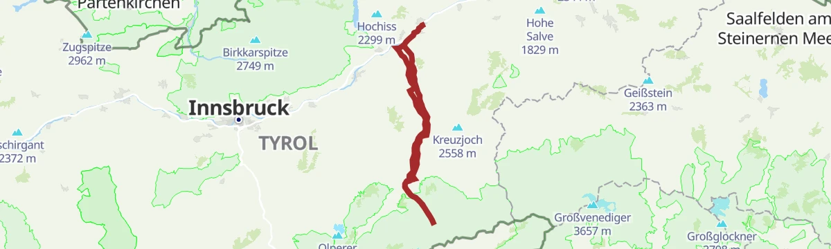
Rennrad 10 Stillup
A long ride up the Zillertal to Mayrhofen, then into the side valley on the toll road to the Grüne-Wand-Hütte at 1,437 m.
- 108.5 km
- Distance
- 1 209 m
- Ascent
- 10 h 46 min
- Duration
- 71
- Check-ins
Rennrad 13 Zillergrund Stausee
A long ride to Mayrhofen and on up the side valley towards the reservoir, reaching the Bärenbadalm at about 1,450 m.
- 109.6 km
- Distance
- 1 070 m
- Ascent
- 10 h 44 min
- Duration
- 47
- Check-ins
Rennrad 12 Zillertal Cappucino
A flat run from the Inn up the valley to Mayrhofen and back, following the valley floor past Zell am Ziller.
- 74.7 km
- Distance
- 278 m
- Ascent
- 6 h 53 min
- Duration
- 35
- Check-ins


No routes of this kind in Mayrhofen yet.
Planning a trip to Mayrhofen?
Everything else Tyrol has, in one place


Take Mayrhofen with you into the mountains
Every route on this page with 3D terrain, GPX navigation and offline maps — including the valleys with no signal.
Data sources
- Official website: mayrhofen.at ↗
- Routes and highlights: Mayrhofen, Alpbachtal Tourismus
- Published as open data by the tourist boards named above.
- Region summary generated from the board's own material.
