
 Historic site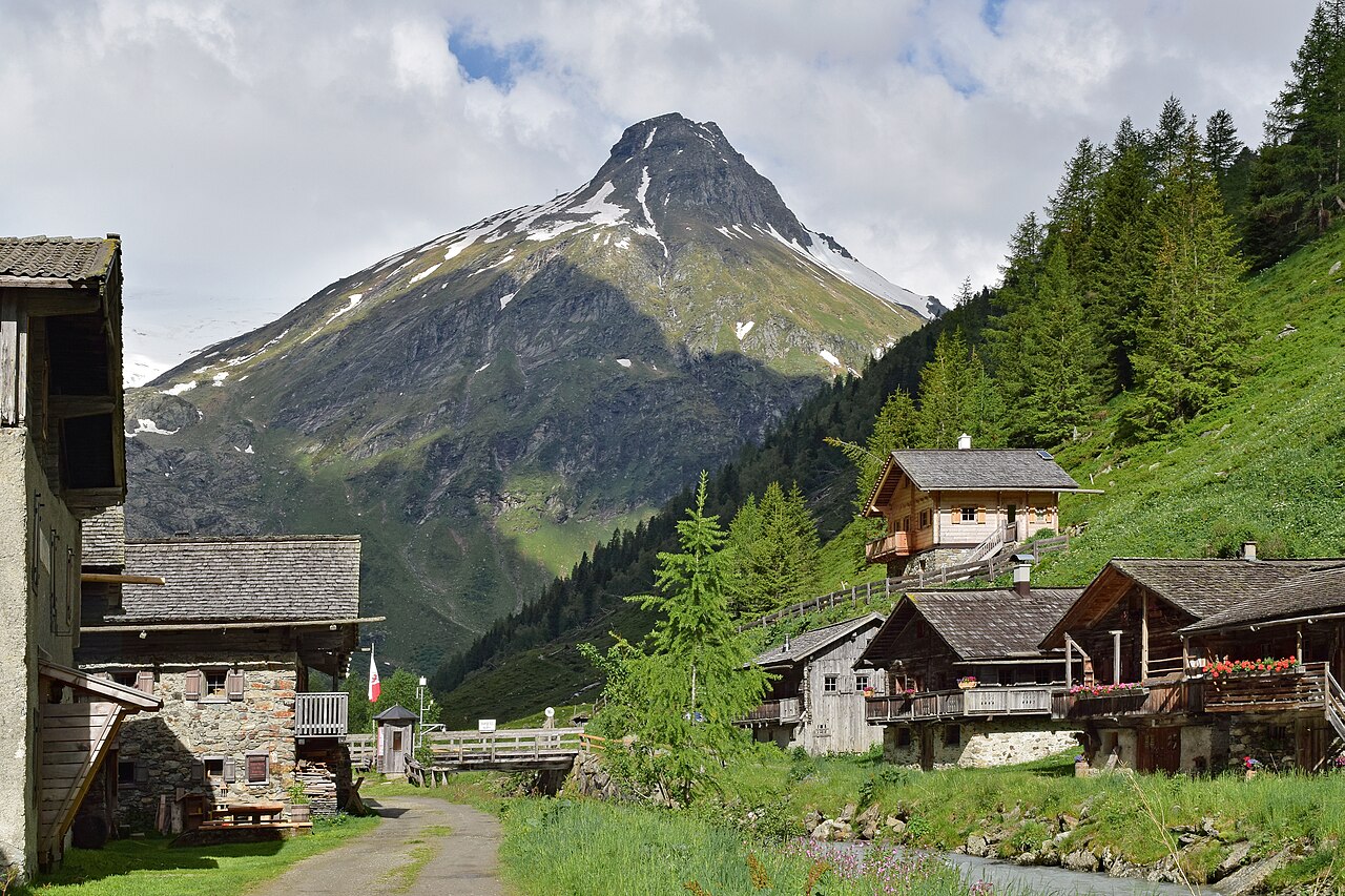





















Curated by Osttirol Tourismus
Matrei in Osttirol
A market town at the meeting of the Tauernbach and the Isel below the Felbertauern route, its vast municipal area reaching deep into the Hohe Tauern toward the Venediger group.
- 13Highlights
- 63Routes
- Featured summit · Großvenediger
Highlights
2 from neighbouring places
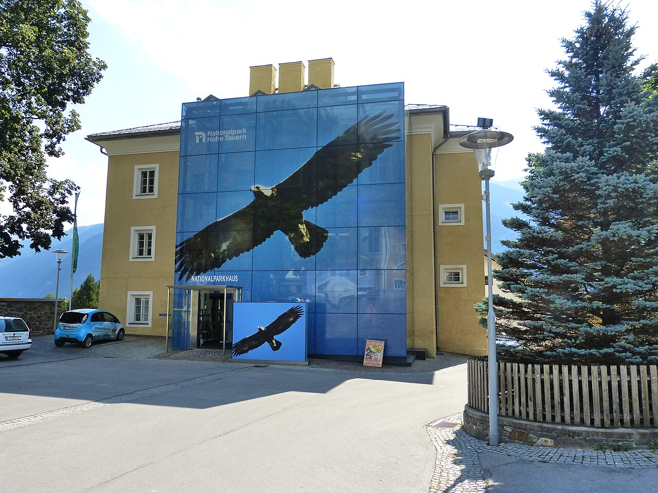
Nationalparkhaus Matrei in Osttirol
The Hohe Tauern National Park visitor centre in Matrei in Osttirol, with exhibitions on the park's glaciers, wildlife and alpine habitats.
Gschlösstal
A high valley at Matrei in Osttirol leading toward the Venediger group, with the hamlets of Ausser- and Innergschlöss and views of glaciated peaks.
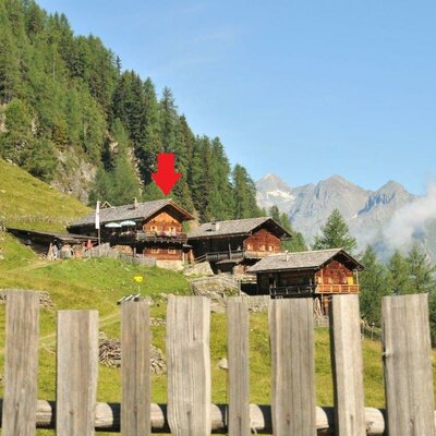
Almhütte Arnitzalm
An alm hut on the Arnitz pastures in the mountains south of Matrei in Osttirol, in quiet walking country.
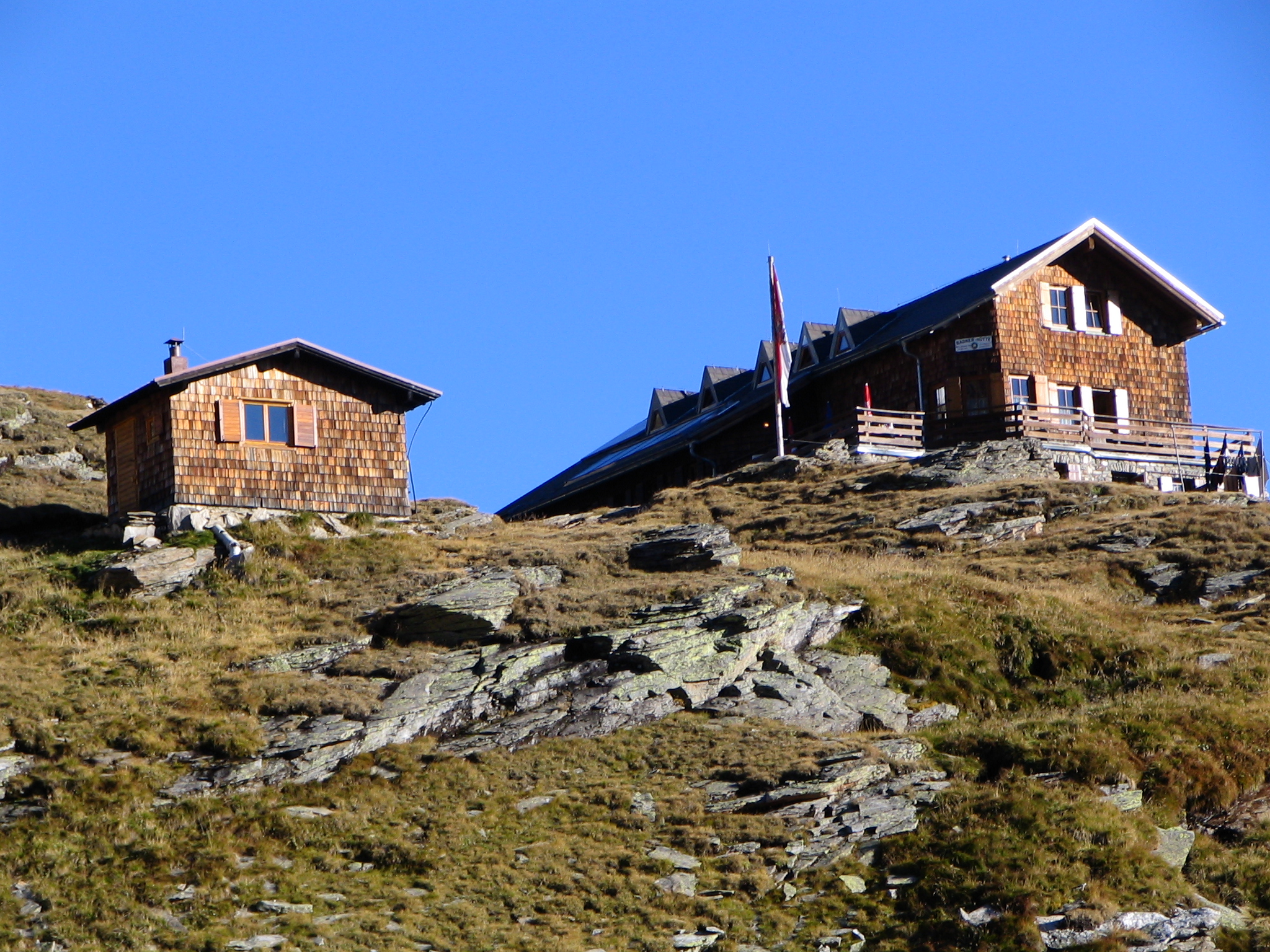
Badener Hütte 2.608m
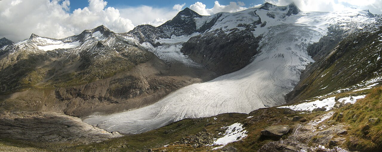
An alpine club hut at 2,608 m in the Venediger group above Matrei in Osttirol, a stage on the high circuit around the Großvenediger.
Berghaus Außergschlöss 1.700m
A mountain inn at 1,700 m at Außergschlöss in the Gschlöss valley, a refreshment stop on the much-walked route toward the Großvenediger.
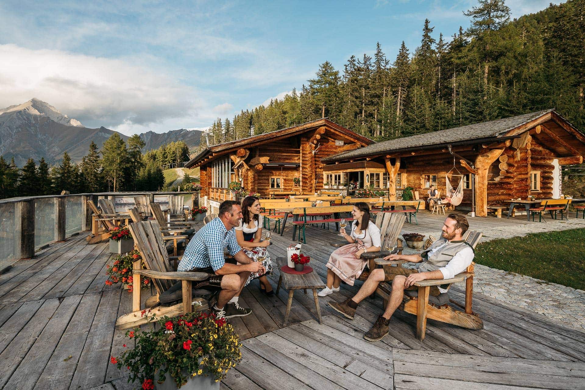
Genusshütte Roatz Bodn 1.880m
A small hut at 1,880 m on the Goldried slopes above Matrei in Osttirol, serving regional dishes to walkers and skiers.
Wodenalm 1.825m
A managed alm at 1,825 m above Matrei in Osttirol, set amid the summer grazing pastures of the Hohe Tauern foothills.
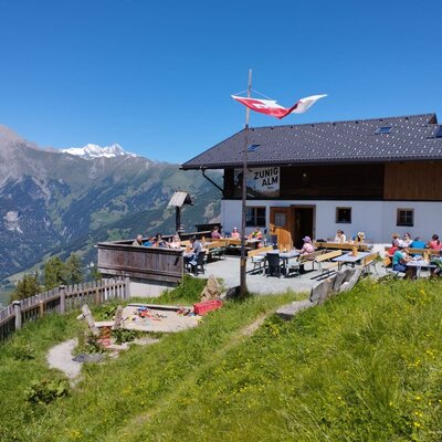
Zunigalm 1.846m
An alm at 1,846 m on the Zunig mountainside south of Matrei in Osttirol, a managed summer stop below the Lasörling ridge.
Alte Prager Hütte
A 19th-century Alpine Club hut above the Gschlöss valley on the route toward the Grossvenediger, preserved today as a historic monument.
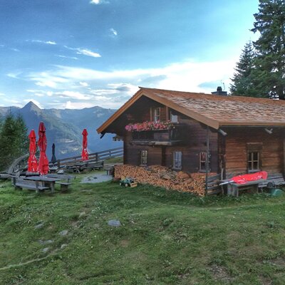
Almhütte Raneburg
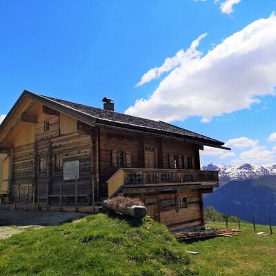
An alm hut in the high pastures above Matrei in Osttirol, a summer building typical of the region's mountain farming.
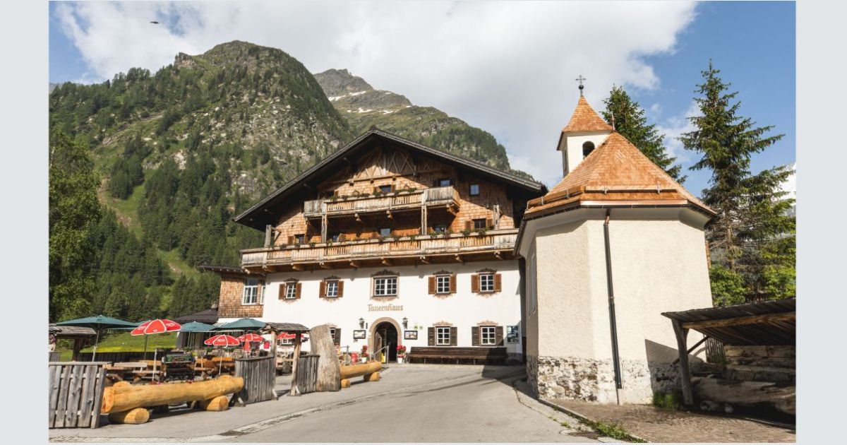
Alpengasthof Matreier Tauernhaus 1.512m
A historic alpine inn at 1,512 m at the mouth of the Gschlöss valley north of Matrei, in a long tradition of hospices on the Felber Tauern route.
Alpengasthof Venedigerhaus Innergschlöss 1.691m
An alpine inn at 1,691 m at Innergschlöss below the Großvenediger glaciers, the end point of the Gschlöss valley track from the Matreier Tauernhaus.
Gschlösstalalm
An alm in the Gschlöss valley near Matrei in Osttirol, on the much-walked track toward Innergschlöss and the Venediger glaciers.
Bonn-Matreier-Hütte 2.750m
6.2 km away, in Virgen
An alpine club hut at 2,750 m on the southern flank of the Venediger group above Prägraten, among the highest managed huts in Osttirol.
Schmiedleralm 2.100m
7.2 km away, in Virgen
An alm hut at 2,100 m high above Virgen, reached by mountain paths climbing from the Virgental floor.
Nothing of this kind in Matrei in Osttirol.
Routes
50 routes, an even mix of activities · see the rest on osttirol.com ↗
Europa Panoramaweg
Easy high-level path from the Goldried lift over the Ganotzegg to the Kals-Matreier-Törl-Haus, with the Großglockner and a chain of three-thousanders in view.
- 5.9 km
- Distance
- 248 m
- Ascent
- 1 h 60 min
- Duration
- 38
- Check-ins
Familienwanderung Goldriedsee
Family walk along the Goldried ridge from the Adlerlounge to the Kals-Matreier-Törl, passing a small mountain lake, the Gurner Alm and the pass hut, with Großglockner views.
- 7.8 km
- Distance
- 197 m
- Ascent
- 2 h 19 min
- Duration
- 74
- Check-ins
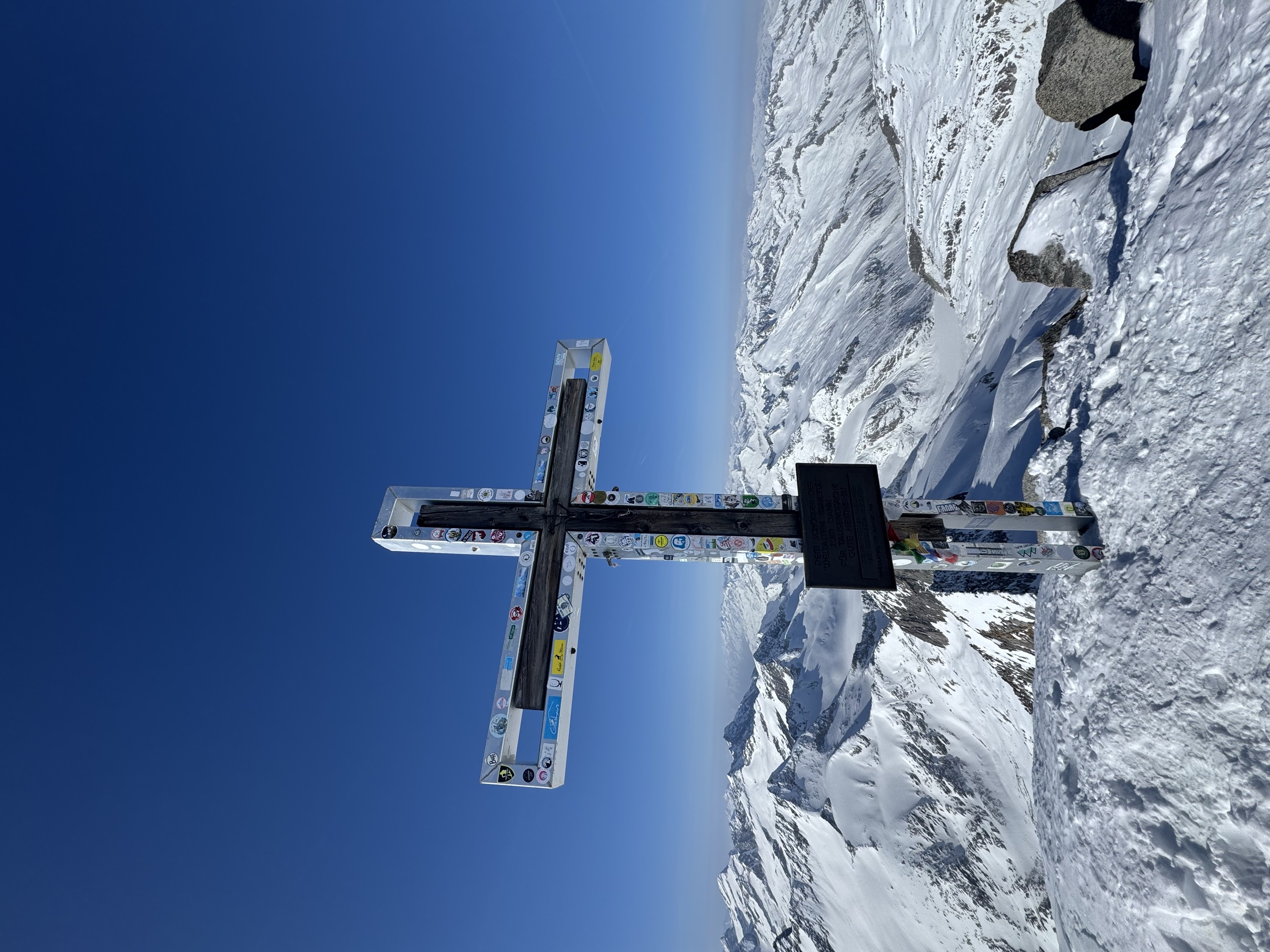
Neukirchen: Großvenediger Tour
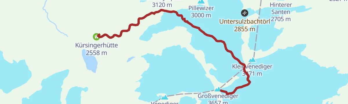
The high glacier route from the Kürsingerhütte, past the Winterlager and over the Venedigerscharte to the 3,657 m summit; reckon five hours from hut to top.
- 7.2 km
- Distance
- 1 265 m
- Ascent
- 5 h 10 min
- Duration
- 75
- Check-ins
Skitour Weißeneckscharte 2.637m
Ski tour from the Gschlöß valley past the Außergschlößalm to a 2,637 m col above the Tauernbach, with over 1,100 m of climbing.
- 6.0 km
- Distance
- 1 139 m
- Ascent
- 1 139 m
- Descent
- 3 h 43 min
- Duration
- 21
- Check-ins
Cimaross - Goldriedrunde Nr. 146
A short high-level round on the Goldried, from the Adlerlounge to the Kals-Matreier-Törl-Haus and the Adlerhorst viewpoint at 2,393 m.
- 5.3 km
- Distance
- 317 m
- Ascent
- 50 min
- Duration
- 63
- Check-ins
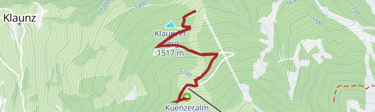
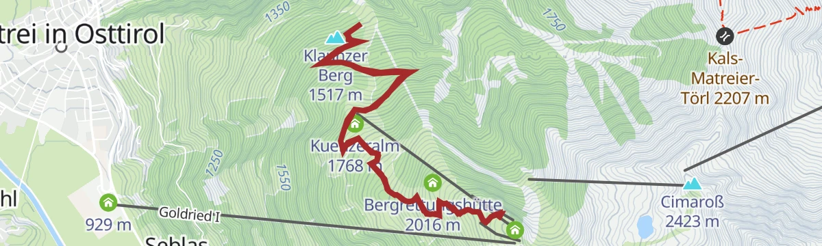
Klaunzerberg Nr. 147
A long forest-road climb from Matrei up the Goldried slopes to the Kuenzeralm and Berggasthaus Goldried, topping the Klaunzer Berg.
- 24.1 km
- Distance
- 1 287 m
- Ascent
- 3 h 30 min
- Duration
- 22
- Check-ins
Bike & Hike Rotenkogel 2.762m
The riding half of a bike-and-hike day above Matrei, climbing service roads on the Goldried to the Adlerlounge at 2,401 m.
- 31.5 km
- Distance
- 1 958 m
- Ascent
- 5 h 6 min
- Duration
- 78
- Check-ins
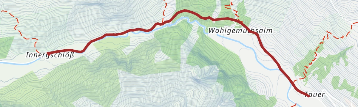
Wanderung zum Berghaus Außergschlöß 1.700m
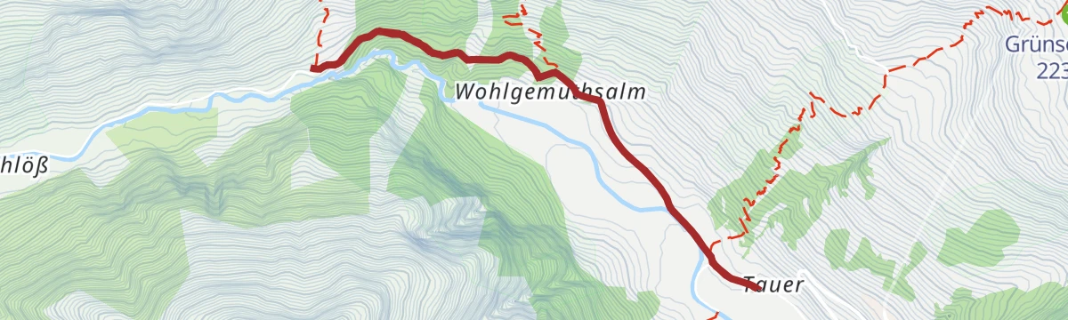
Easy walk from the Matreier Tauernhaus to the alp hamlet at Außergschlöß, with the glaciers of the Venediger group filling the view up-valley.
- 5.2 km
- Distance
- 201 m
- Ascent
- 1 h 44 min
- Duration
- 21
- Check-ins
Rundwanderung Goldried
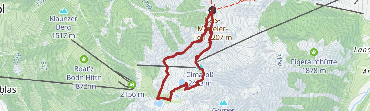
Loop on Matrei's Goldried ridge from the Adlerlounge over the Cimaroß to the Kals-Matreier-Törl and back, on high paths facing the Großglockner.
- 6.9 km
- Distance
- 396 m
- Ascent
- 2 h 47 min
- Duration
- 63
- Check-ins
Kals/Großdorf - Sudetendeutsche-Hütte
Gondola-assisted traverse from the Adlerlounge over the Kals-Matreier-Törl and the Hohes Tor to the Sudetendeutsche Hütte, a long high route on the Granatspitze group's flank.
- 19.3 km
- Distance
- 1 414 m
- Ascent
- 9 h 18 min
- Duration
- 59
- Check-ins
Skitour Äußerer Knorrkogel 2.920m
Long ski tour from the Matreier Tauernhaus through the Gschlöß valley, climbing past the Außergschlößalm to a 2,920 m viewpoint on the Venediger group.
- 10.3 km
- Distance
- 1 432 m
- Ascent
- 1 432 m
- Descent
- 4 h 60 min
- Duration
- 21
- Check-ins
Radweg Virgental Nr. 132
A long forest-road route through the Virgental, running from Virgen and Camping Edengarten up to the Pebellalm and Islitzeralm.
- 48.3 km
- Distance
- 1 602 m
- Ascent
- 5 h 48 min
- Duration
- 19
- Check-ins
Iseltalradweg Nr. 22
The Isel valley cycle path from Matrei down the river, past the Iselteich and the Iselblick lookout.
- 53.2 km
- Distance
- 495 m
- Ascent
- 5 h 11 min
- Duration
- 24
- Check-ins
 Landgasthof Bad Weiherburg 725 m
 Iselteich 707 m
Wanderung zur Kuenzer Alm 1.760m
From the Happeck car park on the Klaunzer Berg an easy walk to a farmed alm at 1,760 m, with the Jagateestube as a second stop.
- 3.5 km
- Distance
- 264 m
- Ascent
- 1 h 43 min
- Duration
- 8
- Check-ins
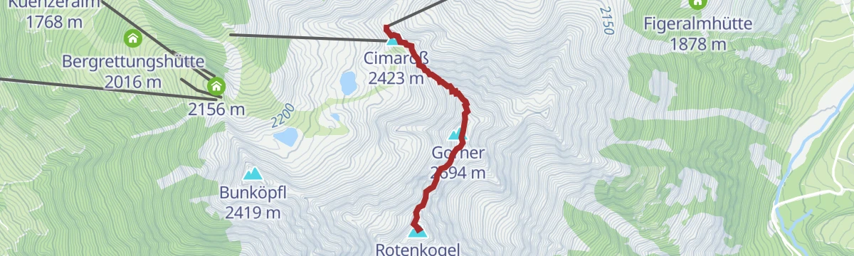
Gipfelwanderung Rotenkogel 2.762m
Lift-assisted summit walk from the Adlerlounge over the Cimaroß to a 2,762 m top on the ridge between Matrei and Kals, with only about 430 m of climbing.
- 3.9 km
- Distance
- 432 m
- Ascent
- 2 h 36 min
- Duration
- 56
- Check-ins
Großvenediger 3.657 m (Neue Prager Hütte)
Glacier route from the Neue Prager Hütte across the Schlatenkees to the 3,657 m summit via the Venedigerscharte — crevassed terrain for equipped rope teams only.
- 8.3 km
- Distance
- 934 m
- Ascent
- 5 h 38 min
- Duration
- 43
- Check-ins
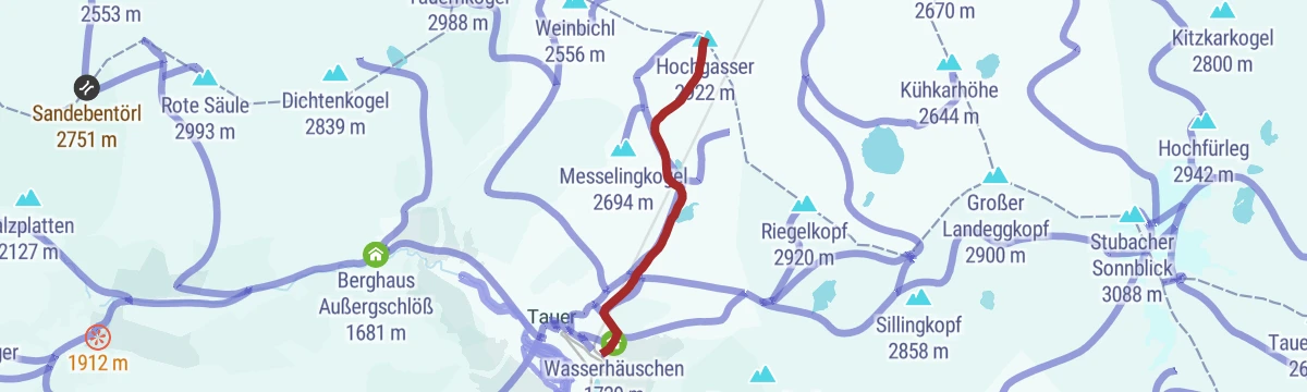
Skitour Hochgasser 2.922m
Ski tour past the Grünseehütte and the frozen Grausee to a 2,922 m summit above the Felber valley, with the Messeling as a bonus top — nearly 1,300 m of ascent.
- 4.5 km
- Distance
- 1 283 m
- Ascent
- 1 283 m
- Descent
- 3 h 54 min
- Duration
- 12
- Check-ins
Bike & Hike Umbalfälle 1.660m
A long ride up the valley from Virgen to the Islitzeralm, with the waterfalls and the Großbachfall viewing platform reached on foot.
- 50.6 km
- Distance
- 1 735 m
- Ascent
- 6 h 8 min
- Duration
- 19
- Check-ins
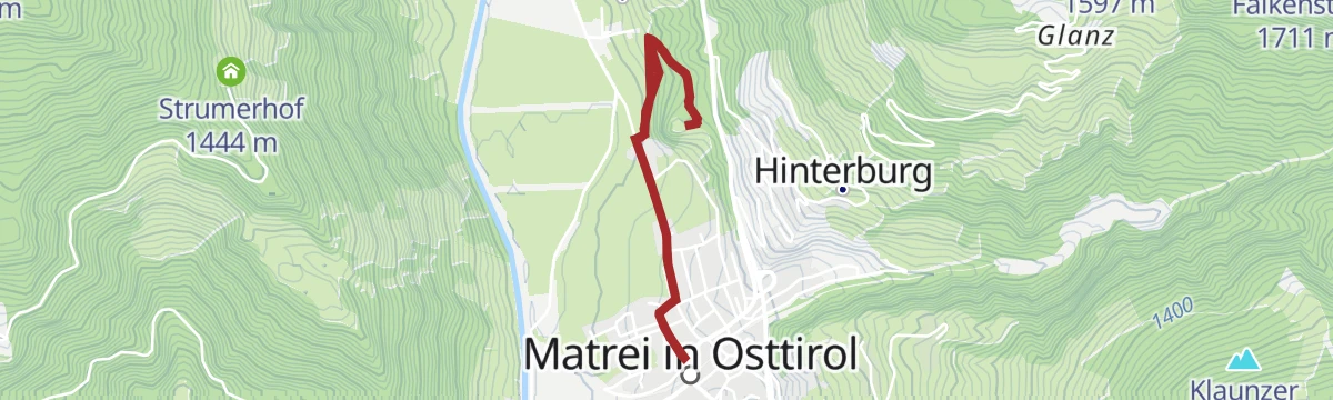
Rundweg Ranach
Easy circuit from Matrei's tourist office through hillside hamlets and meadows above the market town — 7 km with gentle gradients.
- 7.0 km
- Distance
- 333 m
- Ascent
- 2 h 29 min
- Duration
- 2
- Check-ins
Rundweg Bärensteig
Loop above Matrei from the Eden-Happeck car park over the Klaunzer Berg to the Kals-Matreier-Törl-Haus, returning past the Kuenzeralm and the Goldried inn.
- 12.0 km
- Distance
- 881 m
- Ascent
- 5 h 48 min
- Duration
- 35
- Check-ins
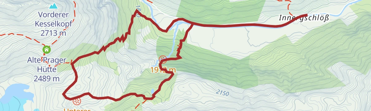
Wanderung zur Neuen Prager Hütte 2.796m
Full-day hut hike from the Gschlöß valley past the Außergschlößalm and the Alte Prager Hütte to a stone refuge at 2,796 m above the Schlatenkees glacier.
- 21.0 km
- Distance
- 1 424 m
- Ascent
- 9 h 33 min
- Duration
- 36
- Check-ins
Skitour Amertaler Höhe 2.841m
From the south portal of the Felbertauern tunnel this ski tour climbs over 1,200 m to a 2,841 m summit above the Amertal.
- 5.0 km
- Distance
- 1 223 m
- Ascent
- 1 223 m
- Descent
- 3 h 48 min
- Duration
- 2
- Check-ins
Rundweg St. Nikolaus-Kirche
Short loop from the centre of Matrei out to the Romanesque St. Nikolaus church, one of East Tyrol's oldest sacred buildings, and back through the fields.
- 5.4 km
- Distance
- 164 m
- Ascent
- 1 h 40 min
- Duration
- 2
- Check-ins
Wanderung Venedigerhaus Innergschlöß 1.691m
From the Matreier Tauernhaus a gentle walk up the Gschlöß valley to the Venedigerhaus at Innergschlöß, beneath the glaciers of the Großvenediger.
- 8.6 km
- Distance
- 320 m
- Ascent
- 2 h 48 min
- Duration
- 21
- Check-ins
Wanderung zur St. Pöltner Hütte mit 3 Seen
Circuit on the old Felber Tauern crossing: up to the St. Pöltner Hütte at the pass, then past the Schwarzsee, Grünseehütte and Grausee — three tarns in one demanding round.
- 14.8 km
- Distance
- 1 165 m
- Ascent
- 7 h 32 min
- Duration
- 22
- Check-ins
Skitour Kalser Bärenkogel Nordwestgipfel 3.078m
Demanding ski tour from the Landeggtal parking on the Felbertauernstraße through the Seetörl to a 3,078 m northwest summit — 1,700 m of ascent in serious terrain.
- 8.3 km
- Distance
- 1 694 m
- Ascent
- 1 694 m
- Descent
- 5 h 27 min
- Duration
Spazierweg "Nikolauskirche"
Level walk from Matrei's Korberplatz to the medieval St. Nikolaus church, looping through fields and hamlets on the southern edge of town.
- 5.7 km
- Distance
- 166 m
- Ascent
- 1 h 45 min
- Duration
- 2
- Check-ins
Goldriedriese
From the Eden-Happeck parking this route climbs the Klaunzer Berg to the Berggasthaus Goldried, linking the Kuenzeralm, Roatz Bodn hut and Jagateestube.
- 8.0 km
- Distance
- 680 m
- Ascent
- 4 h 19 min
- Duration
- 18
- Check-ins
Großer Zunig 2.776 m
From the Guggenberg parking past the Zunigalm, Zunigtörl and Zunigsee to a 2,776 m peak — a big round with more than 1,800 m of ascent.
- 20.5 km
- Distance
- 1 853 m
- Ascent
- 11 h 38 min
- Duration
- 15
- Check-ins
 Großer Zunig 2 776 m
- Zunigalm 1 848 m
 Zunigtörl 2 355 m
- Zunigsee 2 110 m
Skitour Rote Säule 2.993m
Steep, direct ski tour above the Tauern valley near Matrei, packing 1,270 m of ascent into barely 4 km on the way to a 2,993 m summit.
- 4.2 km
- Distance
- 1 270 m
- Ascent
- 1 270 m
- Descent
- 3 h 50 min
- Duration
Spazierweg zum Schloss Weißenstein
Short walk from Matrei's tourist office up to Schloss Weißenstein, the castle overlooking the market town — an easy stroll of half an hour each way.
- 3.3 km
- Distance
- 121 m
- Ascent
- 1 h 4 min
- Duration
- 2
- Check-ins
Wanderung zum Berggasthaus Goldried 2.150m
From the Happeck car park on the Klaunzer Berg to a mountain inn at 2,150 m, passing the Kuenzeralm — the Goldried lifts can shorten the return.
- 7.8 km
- Distance
- 644 m
- Ascent
- 4 h 8 min
- Duration
- 18
- Check-ins
Kleiner Zunig 2.442m
Long route past the Zunigalm and through the Zunigtörl to the smaller of the two Zunig summits at 2,442 m, with the Zunigsee tucked below the ridge.
- 13.6 km
- Distance
- 1 321 m
- Ascent
- 8 h 10 min
- Duration
- 14
- Check-ins
- Kleine Zunig 2 012 m
- Kleiner Zunig 2 442 m
- Zunigalm 1 848 m
- Zunigtörl 2 355 m
- Zunigsee 2 110 m
Skitour Wilde Mander Scharte 2.615m
From the Landeggtal car park on the Felbertauernstraße, some 1,150 m of skinning lead up to a 2,615 m saddle above the Tauern valley.
- 4.3 km
- Distance
- 1 150 m
- Ascent
- 1 150 m
- Descent
- 3 h 31 min
- Duration
Kurzer Spazierweg zur Tropfsteinhöhle Ruggenthal
A five-minute access path to the entrance of the dripstone cave at Ruggenthal near Matrei — less a hike than a short walk to a natural curiosity.
- 290 m
- Distance
- 32 m
- Ascent
- 12 min
- Duration
Wanderung zum Kals-Matreier-Törl-Haus 2.207m
From the Happeck parking a steady 740 m climb to the historic pass hut at 2,207 m that links the Matrei and Kals valleys.
- 8.3 km
- Distance
- 742 m
- Ascent
- 4 h 40 min
- Duration
- 17
- Check-ins
Wanderung zur Sudetendeutschen Hütte 2.650m
Long approach from the Glanz parking above Matrei, past the Äußere Steiner Alm and Köfler-Alm, to a high refuge at 2,650 m in the Granatspitze group.
- 15.5 km
- Distance
- 1 260 m
- Ascent
- 8 h 5 min
- Duration
- 10
- Check-ins
Skitour Wildenkogel 3.021m
Very steep ski tour gaining nearly 1,500 m in about 4 km to a 3,021 m summit above the Tauern valley — one for firm conditions and strong legs.
- 4.2 km
- Distance
- 1 487 m
- Ascent
- 1 487 m
- Descent
- 4 h 24 min
- Duration
Rundweg Zedlacher Paradies
Easy loop above the village of Zedlach through open larch meadows, where some of the trees are several hundred years old — a shady, family-friendly round.
- 4.3 km
- Distance
- 167 m
- Ascent
- 1 h 26 min
- Duration
Wanderung zur Genusshütte Roatz Bodn 1.880m
Half-day walk from the Happeck parking to a hut at 1,880 m on the Klaunzer Berg, with the Kuenzeralm and Jagateestube as further stops.
- 5.0 km
- Distance
- 354 m
- Ascent
- 2 h 21 min
- Duration
- 13
- Check-ins
Hintereggkogel 2.638m
From the Zedlach side this route climbs over the Planlißbichl to a 2,638 m summit, with the Wodenalm and the Strumerhof farm inn along the way.
- 8.2 km
- Distance
- 1 165 m
- Ascent
- 6 h 46 min
- Duration
- 9
- Check-ins
Spazierweg "Kreuzweg"
A gentle walk along a stations-of-the-cross path near Matrei, with about 150 m of climbing — a quiet round of roughly an hour.
- 3.0 km
- Distance
- 145 m
- Ascent
- 1 h 4 min
- Duration
Gletscherweg Innergschlöss / Schlatenkees
Nature-trail loop at the head of the Gschlöß valley into the forefield of the Schlatenkees, passing the Auge Gottes tarn and the Salzbodensee.
- 9.4 km
- Distance
- 742 m
- Ascent
- 4 h 48 min
- Duration
- 12
- Check-ins
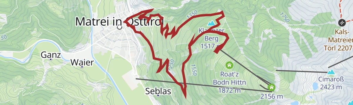
Rundwanderung Bretterwandbach
Strenuous loop from Matrei's church square climbing high above the town along a stream ravine, with the Kuenzeralm and Jagateestube as rest stops.
- 12.2 km
- Distance
- 912 m
- Ascent
- 5 h 58 min
- Duration
- 7
- Check-ins
Wanderung zur Zunigalm 1.846m
From the Guggenberg parking above Bichl a steady forest climb of some 750 m to a managed alm at 1,846 m on the Zunig slopes.
- 6.8 km
- Distance
- 758 m
- Ascent
- 4 h 34 min
- Duration
- 8
- Check-ins
Wanderung zur Badener Hütte 2.608m über Gaßla-Anda-Weg
A very long hut approach from the Frosnitztal parking past the Mitteldorfer Alm, gaining nearly 2,000 m on the way to a refuge at 2,608 m in the Venediger group.
- 23.2 km
- Distance
- 1 945 m
- Ascent
- 12 h 24 min
- Duration
- 4
- Check-ins
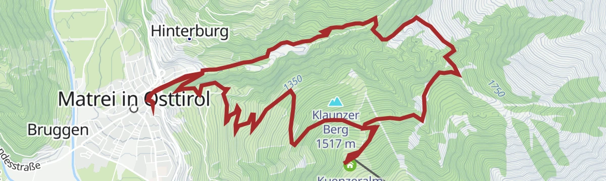
Rundwanderung Klaunzerberg
Loop from Matrei's church square over the sunny farming terrace above town, with the Kuenzeralm and Jagateestube along the way.
- 11.9 km
- Distance
- 830 m
- Ascent
- 5 h 32 min
- Duration
- 7
- Check-ins
Talweg Matrei i. O.
Long valley route around the Matrei basin with one proper climb over the Hochstein rise — graded difficult mainly for its 15 km length.
- 15.3 km
- Distance
- 493 m
- Ascent
- 4 h 49 min
- Duration
- 3
- Check-ins
Wanderung zur Jausenstation Wodenalm 1.825m
From the Zedlacher Paradies parking an easy-graded walk through old larch stands to a snack-station alm at 1,825 m above the Virgen valley.
- 7.5 km
- Distance
- 374 m
- Ascent
- 2 h 45 min
- Duration
- 7
- Check-ins
Bretterwandspitze 2.887m
Big climb from the Glanz parking above Matrei, over the Bunzkögele and Glanzer Berg to a 2,887 m summit — about 1,350 m up, with the Köfler-Alm on the way.
- 10.2 km
- Distance
- 1 356 m
- Ascent
- 7 h 57 min
- Duration
- 2
- Check-ins
No routes of this kind in Matrei in Osttirol yet.
The region's own picks

Featured route
Europa Panoramaweg
Easy high-level path from the Goldried lift over the Ganotzegg to the Kals-Matreier-Törl-Haus, with the Großglockner and a chain of three-thousanders in view.
Planning a trip to Matrei in Osttirol?
Everything else Tyrol has, in one place


Take Matrei in Osttirol with you into the mountains
Every route on this page with 3D terrain, GPX navigation and offline maps — including the valleys with no signal.
Data sources
- Official website: osttirol.com ↗
- Routes and highlights: Osttirol Tourismus, Wildkogel-Arena
- Published as open data by the tourist boards named above.
- Region summary generated from the board's own material.
