
 Viewpoint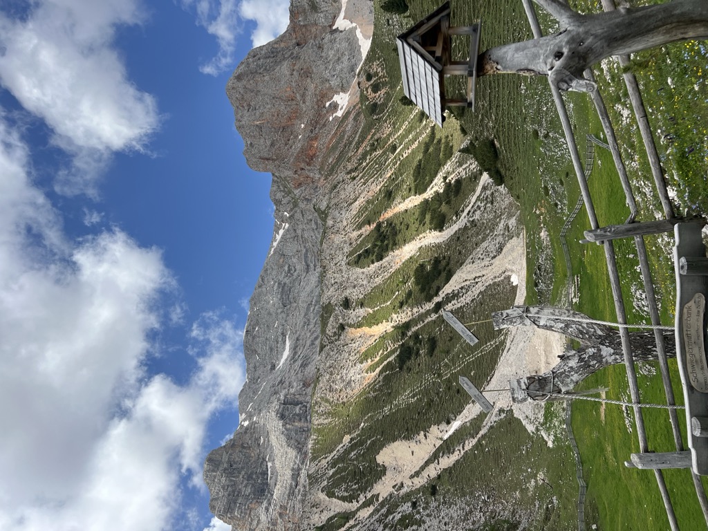














Curated by San Vigilio Dolomites
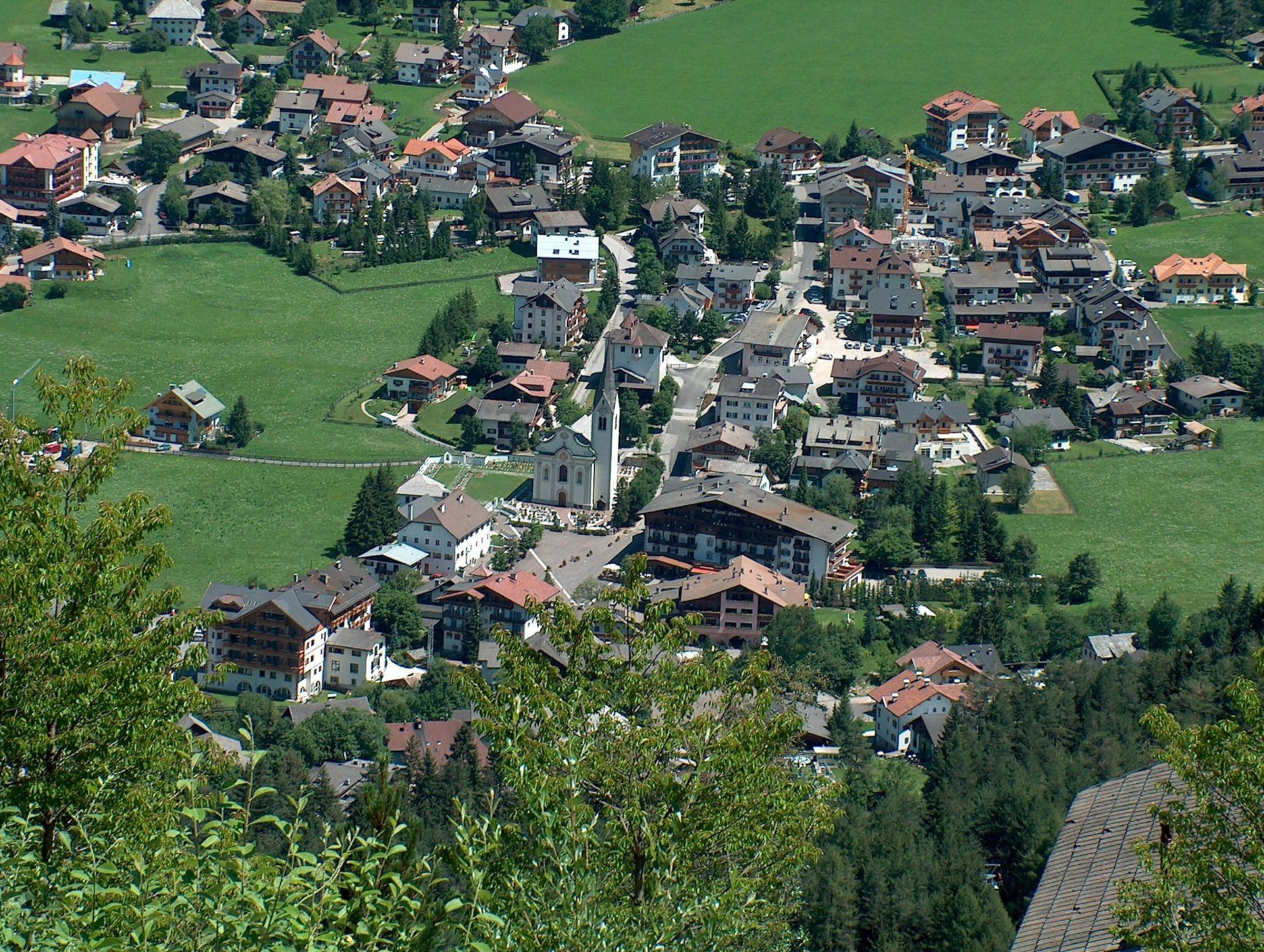
Marebbe/Enneberg
Ladin valley comune reaching from Plan de Corones to the Fanes-Sennes-Braies nature park, with a dense lift network in winter and long high-pasture walks in summer.
- 2Highlights
- 111Routes
- Featured summit · Kronplatz
Highlights
13 from neighbouring places
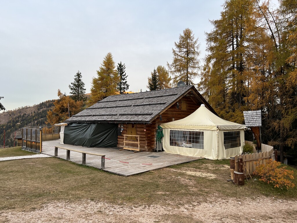
Picio Pré Restaurant
A Slow Food mountain restaurant at 1,952 m in the Ladin comune of Marebbe, reached on the walk from the Furkelpass and open summer and winter.
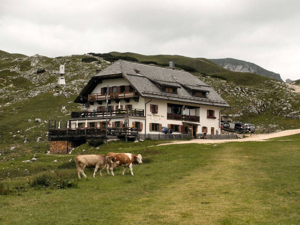
Rifugio Sennes
A hut at 2,126 m on the Sennes pastures in the Fanes-Sennes-Braies nature park above Marebbe, on the Alta Via delle Dolomiti n. 1.
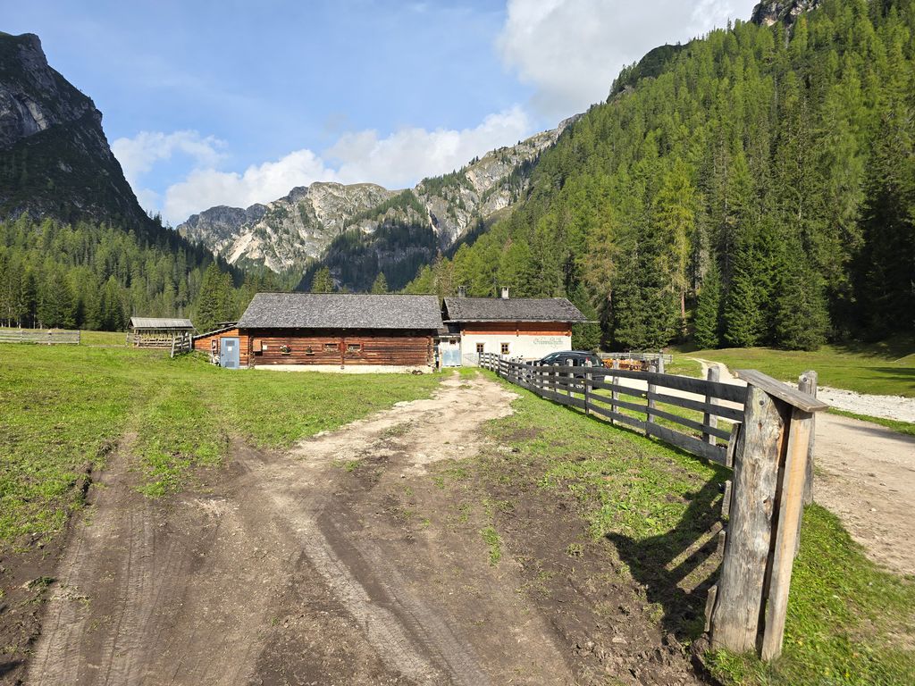
Sterzing, Pfitsch und FreienfeldMalga Val Foresta
5.7 km away, in Braies/Prags
A pasture hut at 1,590 m above the western shore of Lago di Braies, reached on path 19 from the lake car park on a track gentle enough for pushchairs.
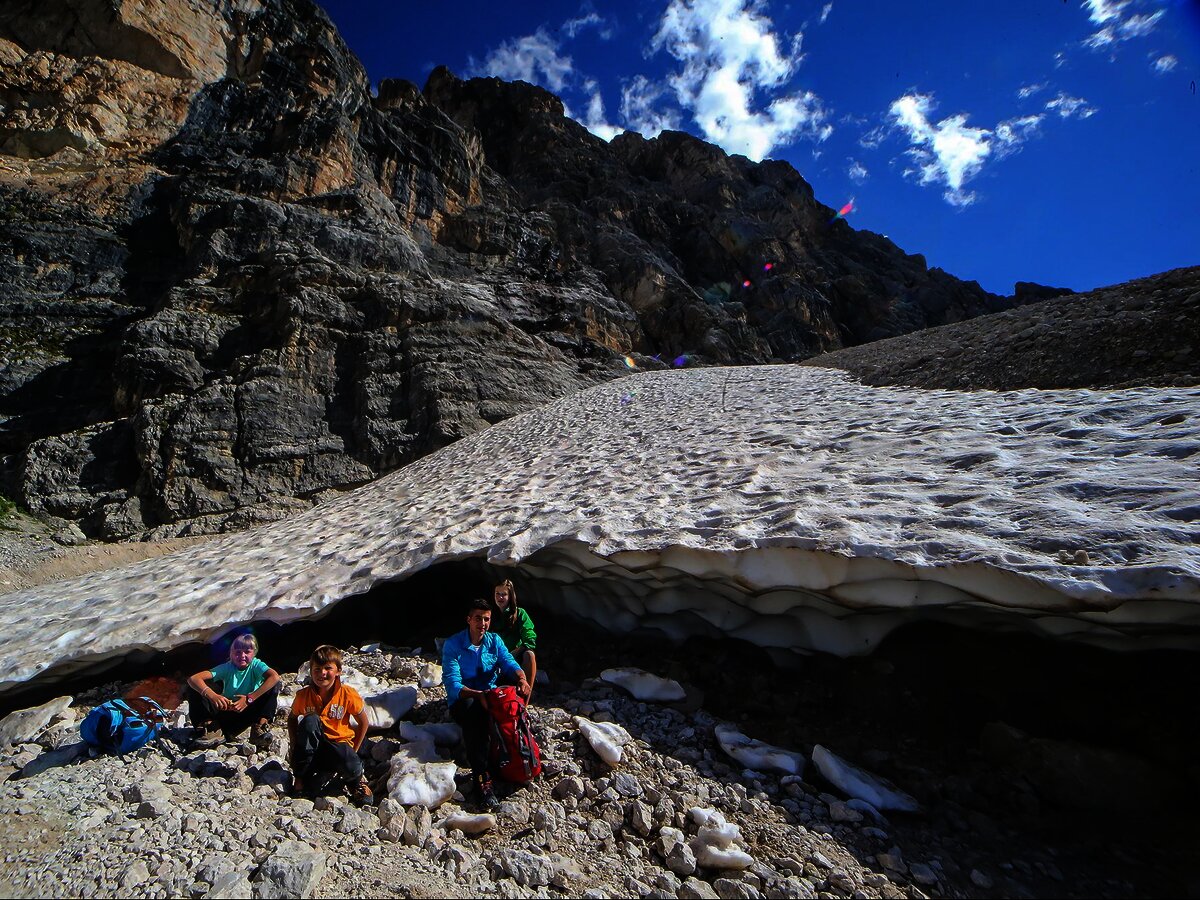
Sterzing, Pfitsch und FreienfeldLa grotta della neve al Sas dla Crusc/Santa Croce
6.5 km away, in La Valle/Wengen
A snow-filled hollow under the Sas dla Crusc wall that holds ice into summer, reached from the Santa Croce hut.
Sterzing, Pfitsch und FreienfeldMalga Rossalm
7 km away, in Braies/Prags
A recently built pasture hut at 2,164 m in the Braies Dolomites, reached on path 4 from the Ponticello car park or from Prato Piazza past Malga Stolla.
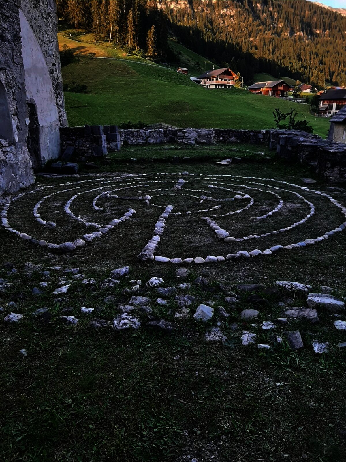
Il labirinto di Dlijia vedla
7.5 km away, in La Valle/Wengen
A turf maze laid out beside the old church at La Valle, in the Val Badia.
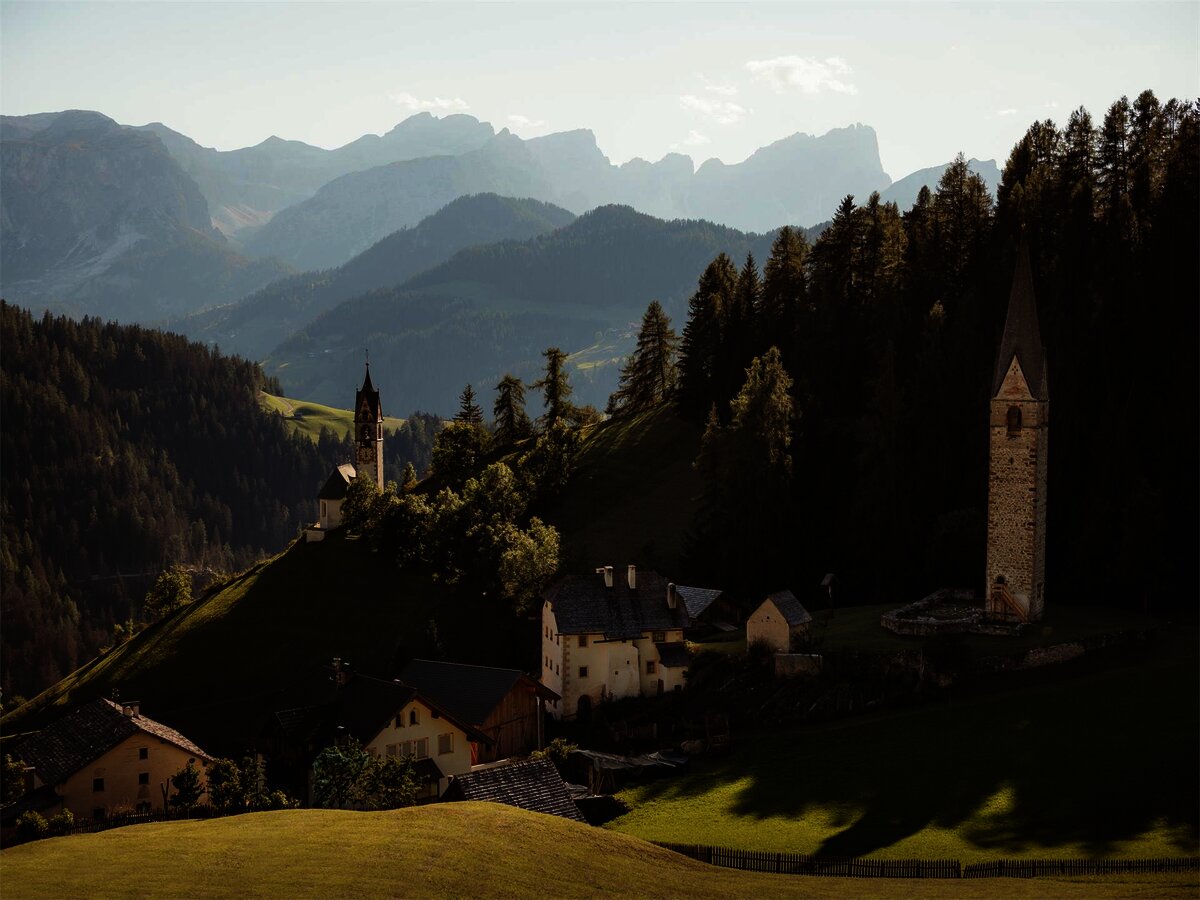
Vecchia chiesa parrocchiale La Val
7.5 km away, in La Valle/Wengen
The old parish church of La Valle, kept beside its replacement on the hill above the village.
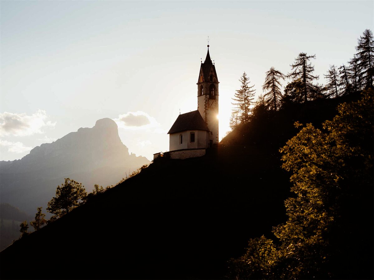
Chiesa di Santa Barbara
7.6 km away, in La Valle/Wengen
A chapel at La Valle in the Val Badia, below the Sasso della Croce.
Chiesa/santuario La Crusc/Santa Croce
7.8 km away, in Badia/Abtei
The Santa Croce sanctuary at 2,045 m below the Sas dla Crusc, a pilgrimage church above Badia since the fifteenth century.
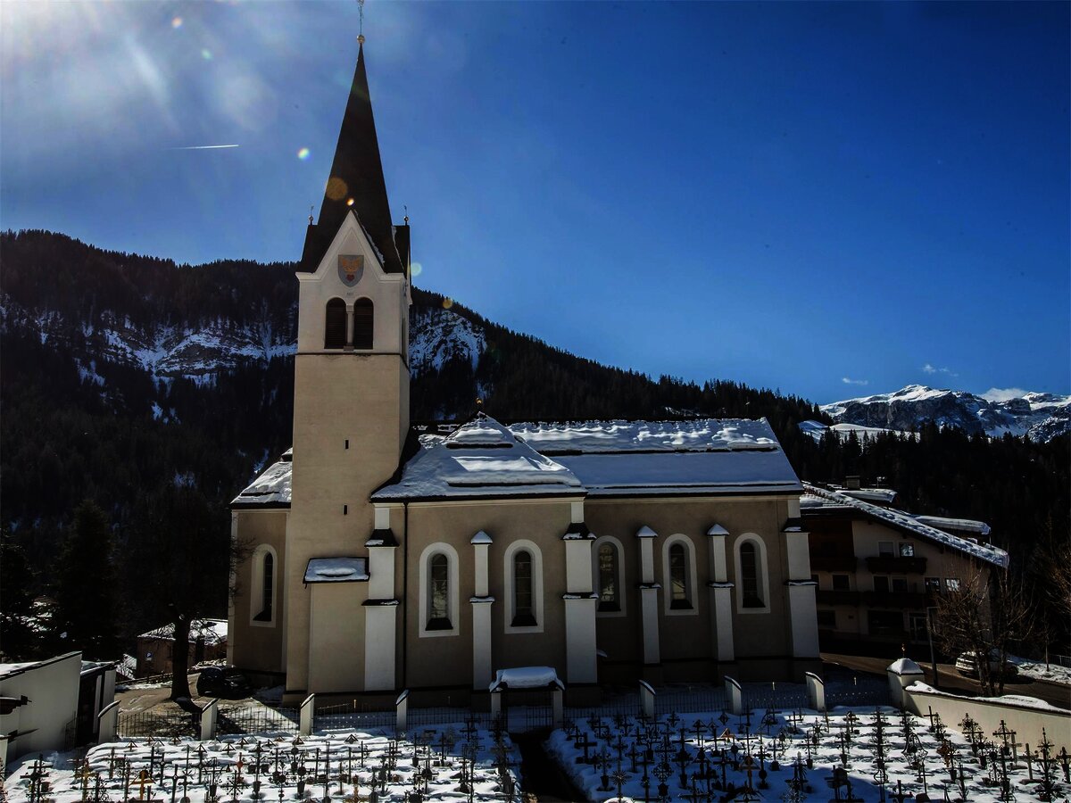
Chiesa parrocchiale La Val
8.1 km away, in La Valle/Wengen
The parish church of La Valle, on the sunny terrace above the Gader stream.
Parco Naturale Fanes
9.6 km away, in Badia/Abtei
The Fanes plateau above the Alta Badia, a high karst basin of the Fanes-Sennes-Braies park.
Cascate di ghiaccio allo Scotoni
10.7 km away, in Badia/Abtei
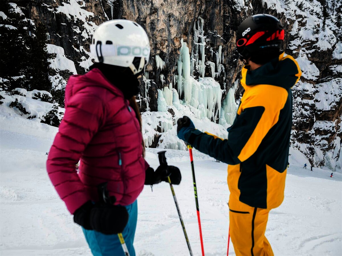
The frozen waterfalls below the Lagazuoi and Scotoni walls, an ice-climbing ground above the Alta Badia.
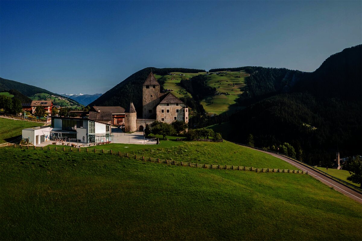
Museum Ladin Ciastel de Tor
10.8 km away, in San Martino in Badia/St. Martin in Thurn
A museum in the fourteenth-century Ciastel de Tor at San Martino in Badia, opened in 2001 on Ladin language, history and geology.
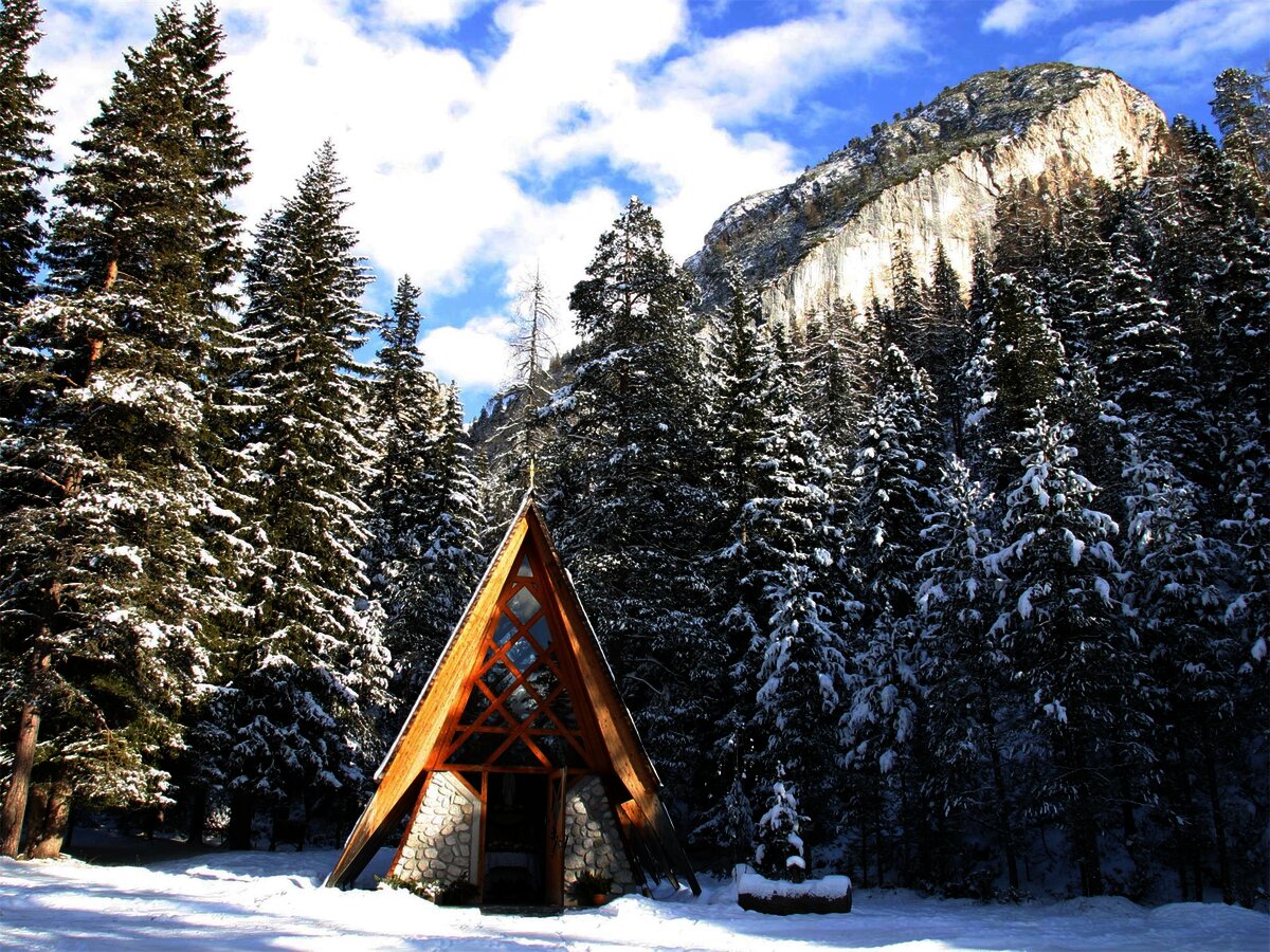
Cappella ai piedi del Sas Dlacia
10.9 km away, in Badia/Abtei
A chapel at the foot of the Sas Dlacia rock face above San Cassiano.
Malga Stolla
10.9 km away, in Braies/Prags
A hut at 1,940 m in the Braies valley, about two hours up the Stolla stream from Ponticello on path 18 and closed through the winter.
Sterzing, Pfitsch und Freienfeld
Nothing of this kind in Marebbe/Enneberg.
Routes
50 routes, an even mix of activities · see the rest on sanvigilio.com ↗
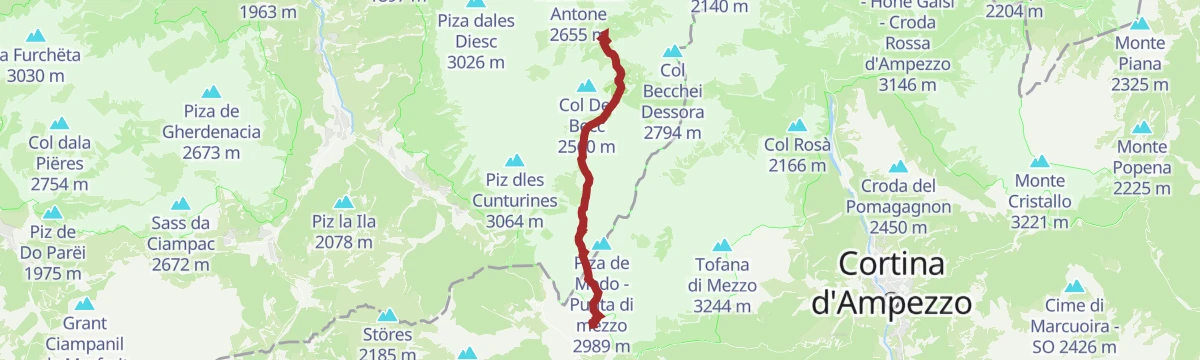
Salita alla cima "Le Ciaval" sul Sas dla Crusc/Santa Croce
A long climb to Le Ciaval on the Sasso di Santa Croce, under vertical walls that redden at sunset, between the Badia valley and the Fanes alp.
- 15.0 km
- Distance
- 998 m
- Ascent
- 10 h 8 min
- Duration
- 227
- Check-ins
 Le Ciaval 2 907 m
- Piz dl Zuber 2 718 m
 Heiligkreuz-Hospitz 2 045 m
- Glam's 1 425 m
- Roda de Ciar 1 451 m
 Ju dla Crusc - Kreuzkofeljoch - Passo di Santa Croce 2 612 m
- +1
Open route Sterzing, Pfitsch und FreienfeldVia Ferrata "Cima dei Colli Alti"
A short ferrata with a long approach and descent in empty country: from the Braies lake car park by the Riedlhof farm and trail 20 to the Pra della Vacca alp.
- 4.3 km
- Distance
- 1 037 m
- Ascent
- 4 h 30 min
- Duration
- 88
- Check-ins
- Hochalpenkopf 2 539 m
- Emmas Bistro 1 499 m
- Hotel Pragser Wildsee - Hotel Lago di Braies 1 505 m
- Käseralm 1 946 m
- Kaseralm 1 946 m
- Pragser Furkel 2 225 m
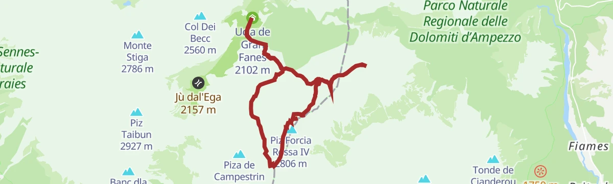
Open route Sterzing, Pfitsch und FreienfeldVia ferrata tour: VIA DELLA PACE (the peace trail)
An equipped route from Fanes over the Gran Fanes to the Furcia Rossa at 2,791 m, following the VB waymarks before branching right.
- 13.6 km
- Distance
- 1 302 m
- Ascent
- 10 h 16 min
- Duration
- 84
- Check-ins
- Monte del Vallon Bianco 2 688 m
- Piz Forcia Rossa III 2 791 m
- Croda Vallone Bianco 2 281 m
- Ucia de Gran Fanes 2 102 m
- Bivacco della Pace 2 758 m
- Forcella Castello 2 672 m
Open route San Vigilio DolomitesVia ferrata: VIA DELLA PACE
The Peace Trail ferrata, put back in order in 2003, climbing from Fanes by way of the Gran Fanes to the Forcella Rossa at 2,791 m.
- 13.8 km
- Distance
- 1 272 m
- Ascent
- 10 h 8 min
- Duration
- 84
- Check-ins
- Monte del Vallon Bianco 2 688 m
- Piz Forcia Rossa III 2 791 m
- Croda Vallone Bianco 2 281 m
- Ucia de Gran Fanes 2 102 m
- Bivacco della Pace 2 758 m
- Forcella Castello 2 672 m
Open route Sterzing, Pfitsch und FreienfeldVia ferrata PIZ DA PERES
A short ferrata opened in 2022 on the Piz da Peres, three sections graded C/D, with a quick approach and views to the Zillertal and Rieserferner ranges.
- 439 m
- Distance
- 178 m
- Ascent
- 46 min
- Duration
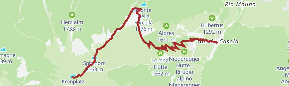
Open route Sterzing, Pfitsch und FreienfeldPlan de Corones > Malga Oberegger > Casola
A long descent from the summit of Plan de Corones by the Oberegger dairy to Casola, with views the whole way.
- 7.0 km
- Distance
- 0 m
- Ascent
- 2 h 54 min
- Duration
- 340
- Check-ins
- Kronplatz 2 277 m
- Spitzhorn 2 163 m
- Corones 2 274 m
- Treff Kronplatz 2 274 m
- Geiselsberger Hütte 2 102 m
- Oberegger Alm - Malga Oberegger 1 543 m
- +2
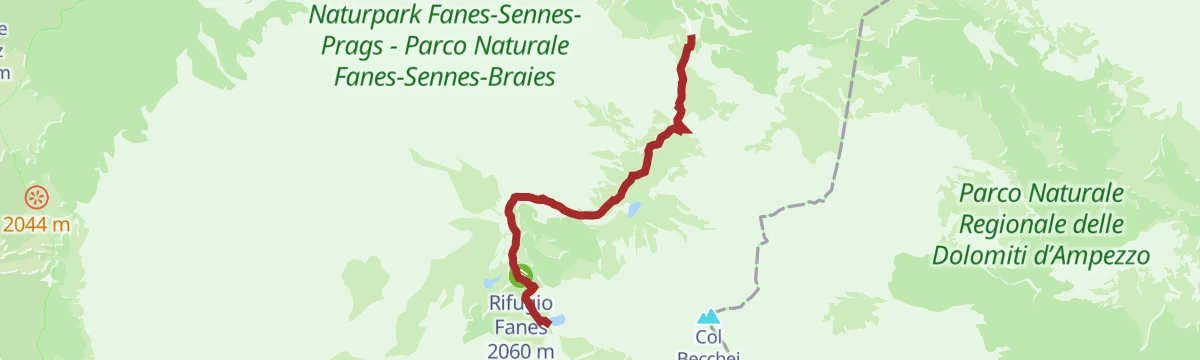
Open route Bruneck Kronplatz TourismusAlta Via no. 1 - Stage 2
A stage from the Rifugio Biella to the Sennes hut, either by the broad road or the higher path over heath and grassy hollows.
- 13.0 km
- Distance
- 580 m
- Ascent
- 4 h 55 min
- Duration
- 468
- Check-ins
- Pian Di Lasta 2 095 m
- Sennes Hütte 2 126 m
- Üćia Pederù - Berggasthaus Pederü - Rifugio Pederü 1 548 m
- Rifugio Fanes 2 060 m
- Rifugio Biella - Seekofelhütte 2 327 m
- Ücia dles Muntagnoles 2 026 m
- +3
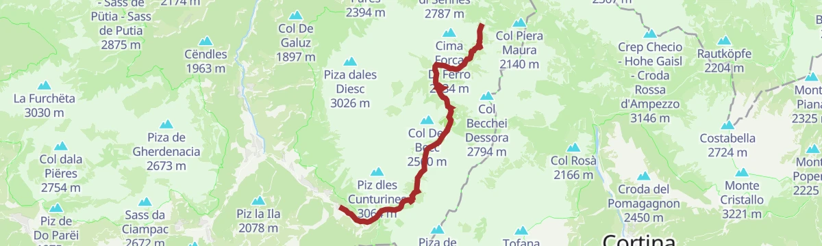
Open route Cortina Marketing Se.Am.Alpine Path of the Dolomites no. 1 - stage 2 & 3
Two linked stages of the Alta Via 1, from the Biella hut across the Senes, Fodara and Fanes pastures and on to the Rifugio Lagazuoi.
- 25.0 km
- Distance
- 2 149 m
- Ascent
- 12 h 50 min
- Duration
- 1001
- Check-ins
- Pian Di Lasta 2 095 m
- Rifugio Lagazuoi 2 752 m
- Forcella Lagazuoi 2 572 m
- Sennes Hütte 2 126 m
- Üćia Pederù - Berggasthaus Pederü - Rifugio Pederü 1 548 m
- Rifugio Fanes 2 060 m
- +10
Open route San Vigilio DolomitesScialpinismo alla malga di Fanes
A ski tour from Pederü up the road to the Pices Fanes pasture, with the Fanes hut left and the Lavarella hut right, and the Limo pass beyond.
- 6.1 km
- Distance
- 671 m
- Ascent
- 42 m
- Descent
- 2 h 14 min
- Duration
- 288
- Check-ins
- Üćia Pederù - Berggasthaus Pederü - Rifugio Pederü 1 548 m
- Rifugio Fanes 2 060 m
- Jú de Limo 2 172 m
- Ücia dles Muntagnoles 2 026 m
- Ücia Pices Fanes 2 012 m
Open route Sterzing, Pfitsch und FreienfeldSkitour Flatschkofel
A ski tour from Bad Bergfall on forest road 32, turning south into the Langtal and up the branching gully to the Flatschkofel.
- 6.6 km
- Distance
- 1 122 m
- Ascent
- 81 m
- Descent
- 3 h 14 min
- Duration
- 6
- Check-ins
Open route OlangFurcia Trail
A flowing mountain-bike descent of 124 bends from the top of the Kronplatz to the Furcia pass, tamer than the Herrnsteig but no less twisting.
- 4.9 km
- Distance
- 0 m
- Ascent
- 37 min
- Duration
- 143
- Check-ins
- Corones 2 274 m
- Bivacco 1 846 m
- Graziani Chalet Ciasa Grazia 2 106 m
- Sonne Pizza Stop 2 069 m
- P5 Mountain Club 2 065 m
- Graziani Lodge & Chalets 2 080 m
- +3
Open route Bruneck Kronplatz TourismusMTB Pederü-Tour
A climb out of San Vigilio to the mountain inn at Pederü, following the valley road past Chalet Le dla Creda and the Kreidesee.
- 11.5 km
- Distance
- 351 m
- Ascent
- 1 h 14 min
- Duration
- 106
- Check-ins
- Üćia Pederù - Berggasthaus Pederü - Rifugio Pederü 1 548 m
 Kreidesee - Lago della Creda 1 272 m
- Chalet Le dla Creda 1 273 m
Open route San Vigilio DolomitesMTB Fanes-Tour
A circuit into the Fanes-Sennes-Prags park above San Vigilio, climbing past Ücia Pices Fanes and Ücia dles Muntagnoles to the Jú de Limo.
- 56.5 km
- Distance
- 1 346 m
- Ascent
- 6 h 17 min
- Duration
- 699
- Check-ins
- Capanna Alpina 1 732 m
- Üćia Pederù - Berggasthaus Pederü - Rifugio Pederü 1 548 m
- Rifugio Fanes 2 060 m
- Ucia de Gran Fanes 2 102 m
- Jú de Limo 2 172 m
- Ücia dles Muntagnoles 2 026 m
- +16
Open route San Vigilio DolomitesBike-tour S. Vigilio-Pederü-S.Vigilio
A steady paved climb up the valley from San Vigilio to Rifugio Pederü, passing the small Kreidesee lake on the way up.
- 11.5 km
- Distance
- 349 m
- Ascent
- 1 h 14 min
- Duration
- 106
- Check-ins
- Üćia Pederù - Berggasthaus Pederü - Rifugio Pederü 1 548 m
- Kreidesee - Lago della Creda 1 272 m
- Chalet Le dla Creda 1 273 m
Open route San Vigilio DolomitesFive-refuges route
A ride from Marebbe by Malga Ra Stua and the Val Salata, linking the Sennes, Fanes and Pederü huts.
- 47.7 km
- Distance
- 1 783 m
- Ascent
- 5 h 55 min
- Duration
- 682
- Check-ins
- Pian Di Lasta 2 095 m
- Sennes Hütte 2 126 m
- Üćia Pederù - Berggasthaus Pederü - Rifugio Pederü 1 548 m
- Rifugio Fanes 2 060 m
- Ucia de Gran Fanes 2 102 m
- Rifugio Malga Ra Stua 1 668 m
- +10
Open route Cortina Marketing Se.Am.Panoramic path Concordia 360°
A pushchair-friendly circuit around the top of Plan de Corones, past the MMM Corones and LUMEN museums and the Concordia 2000 peace bell.
- 2.4 km
- Distance
- 30 m
- Ascent
- 38 min
- Duration
- 325
- Check-ins
- Kronplatz 2 277 m
- Corones 2 274 m
- Treff Kronplatz 2 274 m
- Rifugio CAI Plan de Corones - Kronplatzhütte CAI 2 232 m
- Gipfel Restaurant Cima 2 278 m
- AlpINN 2 243 m
- +1
Open route Bruneck Kronplatz TourismusHike from San Cassiano to the Fanes Plateau
A walk from Sciaré near San Cassiano up onto the Fanes plateau, inside the Fanes-Sennes-Braies park and the landscape of the Ladin legends.
- 13.6 km
- Distance
- 544 m
- Ascent
- 4 h 41 min
- Duration
- 465
- Check-ins
- Capanna Alpina 1 732 m
- Üćia Pederù - Berggasthaus Pederü - Rifugio Pederü 1 548 m
- Rifugio Fanes 2 060 m
- Ucia de Gran Fanes 2 102 m
- Jú de Limo 2 172 m
- Ücia dles Muntagnoles 2 026 m
- +2
Open route Alta Badia Tourism CooperativeAlta Via no.1 - Stage 3
A stage of the Alta Via 1 from the Fanes hut over the bare plateau to the Limo pass and its small lake, then along pasture ridges towards Gran Fanes.
- 12.5 km
- Distance
- 1 081 m
- Ascent
- 5 h 34 min
- Duration
- 654
- Check-ins
- Rifugio Lagazuoi 2 752 m
- Forcella Lagazuoi 2 572 m
- Rifugio Fanes 2 060 m
- Lech de Lagació 2 182 m
- Ucia de Gran Fanes 2 102 m
- Jú de Limo 2 172 m
- +3
Open route Cortina Marketing Se.Am.Ski touring to the Fanes pasture
A ski tour up the access road from Pederü to the Fanes pastures and its two huts, with the Limo pass a short way further on.
- 6.1 km
- Distance
- 665 m
- Ascent
- 42 m
- Descent
- 2 h 13 min
- Duration
- 288
- Check-ins
- Üćia Pederù - Berggasthaus Pederü - Rifugio Pederü 1 548 m
- Rifugio Fanes 2 060 m
- Jú de Limo 2 172 m
- Ücia dles Muntagnoles 2 026 m
- Ücia Pices Fanes 2 012 m
Open route San Vigilio DolomitesPiz de Plaies Trail
A mountain-bike descent opened in 2014 above San Vigilio, from the Pedaga-Piz de Plaies cable car down a continuous run of jumps and banked bends.
- 2.8 km
- Distance
- 10 m
- Ascent
- 25 min
- Duration
- 48
- Check-ins
Open route Bruneck Kronplatz TourismusHerrnsteig Trail
A long freeride mountain-bike descent of the north side of the Kronplatz, some 1,300 m down from the cable car, with alternative lines branching off.
- 7.4 km
- Distance
- 0 m
- Ascent
- 1 h 13 min
- Duration
- 91
- Check-ins
Open route Bruneck Kronplatz TourismusFanes Senes MTB Tour: beautiful, smart, invincible
A long day from San Vigilio up to Pederü, then gravel to Rifugio Fanes and the Jú de Limo, down towards Cortina and back by Malga Ra Stua.
- 54.7 km
- Distance
- 1 920 m
- Ascent
- 6 h 40 min
- Duration
- 607
- Check-ins
- Pian Di Lasta 2 095 m
- Sennes Hütte 2 126 m
- Üćia Pederù - Berggasthaus Pederü - Rifugio Pederü 1 548 m
- Rifugio Fanes 2 060 m
- Ucia de Gran Fanes 2 102 m
- Rifugio Malga Ra Stua 1 668 m
- +7
Open route San Vigilio DolomitesRifugio Biella
A ride up the Val Salata from Malga Ra Stua to the Biella hut below the Seekofel, by Fodara Vedla.
- 46.3 km
- Distance
- 1 367 m
- Ascent
- 5 h 24 min
- Duration
- 381
- Check-ins
- Pian Di Lasta 2 095 m
- Sennes Hütte 2 126 m
- Rifugio Biella - Seekofelhütte 2 327 m
- Rifugio Malga Ra Stua 1 668 m
- Üćia de Fodara Vedla - Schutzhütte Fodara Vedla - Rifugio Fodara Vedla 1 975 m
- Centro Studi montani - Winter dormitory 2 314 m
- +4
Open route Cortina Marketing Se.Am.Plan de Corones > Passo Furcia
A mostly downhill link on trail 1 from the top of the Kronplatz to the Furcia pass, facing the Dolomites and the peaks of the Pusteria and Gadertal.
- 3.3 km
- Distance
- 0 m
- Ascent
- 1 h 22 min
- Duration
- 213
- Check-ins
- Corones 2 274 m
- Treff Kronplatz 2 274 m
- Panorama 2 056 m
- Furcia Center 1 741 m
- Bivacco 1 846 m
- Graziani Chalet Ciasa Grazia 2 106 m
- +5
Open route Bruneck Kronplatz TourismusHiking Trail Via Artis
A circuit at 2,275 m on the Plan de Corones, hung with works by regional artists cut from timber felled by the Vaia storm and the snow loads of 2019.
- 7.1 km
- Distance
- 208 m
- Ascent
- 2 h 17 min
- Duration
- 407
- Check-ins
- Kronplatz 2 277 m
- Spitzhorn 2 163 m
- Corones 2 274 m
- Treff Kronplatz 2 274 m
- Rifugio CAI Plan de Corones - Kronplatzhütte CAI 2 232 m
- Geiselsberger Hütte 2 102 m
- +9
Open route Bruneck Kronplatz TourismusDolomites World Heritage Geotrail II: from Armentarola to Pederü
A day on the Dolomites UNESCO Geotrail across the Fanes plateau, through rock folds left when these beds collided with the European margin.
- 16.6 km
- Distance
- 651 m
- Ascent
- 5 h 35 min
- Duration
- 506
- Check-ins
- Capanna Alpina 1 732 m
- Üćia Pederù - Berggasthaus Pederü - Rifugio Pederü 1 548 m
- Rifugio Fanes 2 060 m
- Ucia de Gran Fanes 2 102 m
- Jú de Limo 2 172 m
- Ücia dles Muntagnoles 2 026 m
- +4
Open route San Vigilio DolomitesScialpinismo alle malghe di Fodara Vedla e Senes
A ski tour from Pederü up the access road to the Fodara Vedla pasture, going on to reach the Sennes hut about an hour later.
- 5.1 km
- Distance
- 602 m
- Ascent
- 11 m
- Descent
- 1 h 55 min
- Duration
- 272
- Check-ins
- Pian Di Lasta 2 095 m
- Sennes Hütte 2 126 m
- Üćia Pederù - Berggasthaus Pederü - Rifugio Pederü 1 548 m
- Üćia de Fodara Vedla - Schutzhütte Fodara Vedla - Rifugio Fodara Vedla 1 975 m
- Sennessee 2 120 m
Open route Sterzing, Pfitsch und FreienfeldMTB La Pli-Track
A gentle tour on paved lanes from San Vigilio past the Miara lift station and up through meadows and woods to Pieve di Marebbe.
- 4.4 km
- Distance
- 111 m
- Ascent
- 28 min
- Duration
- 24
- Check-ins
Open route San Vigilio DolomitesMTB Val-Costa-Tour
A short forest-track loop above San Vigilio by way of Torpei, Val dla Tor and Costa, dropping back through meadows to Ras in wide hairpins.
- 7.4 km
- Distance
- 242 m
- Ascent
- 53 min
- Duration
- 26
- Check-ins
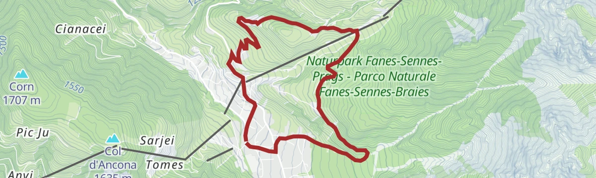
Open route San Vigilio DolomitesMTB Gran Ju-Tour
A loop around the Piz de Plaies from San Vigilio, climbing to Col dl'Ancona, with a lift alternative, then paved road down to Pikolein.
- 17.2 km
- Distance
- 671 m
- Ascent
- 2 h 9 min
- Duration
- 86
- Check-ins
- Col dl'Ancona 1 619 m
- Hotel La Para 1 492 m
- Chi Cianeis - Ristorante, Bar 1 185 m
- Berghotel Soleseid 1 475 m
- Piz de Plaies 1 321 m
- Ufficio turistico 1 189 m
- +2
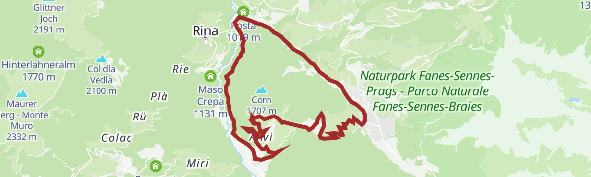
Open route San Vigilio DolomitesRoad bike tour to the Furcia Pass
A road loop from Badia over the Ju de Furćia into the Val Pusteria, on climbing roads the Giro d'Italia has used more than once.
- 85.2 km
- Distance
- 1 758 m
- Ascent
- 9 h 13 min
- Duration
- 131
- Check-ins
- Furcia Center 1 741 m
- Ju de Furćia - Furkelpass - Passo Furcia 1 789 m
- Cafe Preroman 1 107 m
- Posta 1 019 m
- Hubertus 1 292 m
- Marchner Hütte 1 551 m
- +9
Open route Alta Badia Tourism CooperativePiz de Plaies > San Vigilio
An unhurried descent from Piz de Plaies to San Vigilio, easy enough for children and pushchairs.
- 3.8 km
- Distance
- 10 m
- Ascent
- 1 h 18 min
- Duration
- 66
- Check-ins
- Col dl'Ancona 1 619 m
- Hotel La Para 1 492 m
- Berghotel Soleseid 1 475 m
- Piz de Plaies 1 321 m
- Ciasa Pedagà 1 309 m
- Ütia da Jù 1 628 m
Open route Bruneck Kronplatz TourismusFrom San Cassiano/Sciaré across the Forcela dl Lech notch to the Lech de Lagació lake and the Ütia Scotoni hut
A varied mountain route from San Cassiano over the Forcela dl Lech to the Lagació lake and the Scotoni hut, with the Conturines standing to the west.
- 12.8 km
- Distance
- 833 m
- Ascent
- 5 h 38 min
- Duration
- 345
- Check-ins
- Capanna Alpina 1 732 m
- Ütia de Scotoni - Scotoni-Hütte - Rifugio Scotoni 1 985 m
- Lech de Lagació 2 182 m
- Rifugio Scottoni 1 993 m
- Scotoncino 1 993 m
- Forcela dl Lech - Forcella di Lago 2 486 m
- +1
Open route Alta Badia Tourism CooperativeHike from Pederü to Capanna Alpina
A long crossing of the Fanes-Sennes-Braies park from Pederü on trail 7, up the valley floor under bare rock walls and over to Capanna Alpina.
- 15.3 km
- Distance
- 748 m
- Ascent
- 5 h 20 min
- Duration
- 478
- Check-ins
- Capanna Alpina 1 732 m
- Üćia Pederù - Berggasthaus Pederü - Rifugio Pederü 1 548 m
- Rifugio Fanes 2 060 m
- Ucia de Gran Fanes 2 102 m
- Jú de Limo 2 172 m
- Ücia dles Muntagnoles 2 026 m
- +3
Open route San Vigilio DolomitesSkitour Piz da Peres
A ski ascent from the Furcia pass through thick forest, then over steep scree cirques and wide meadow slopes to the top of the Piz da Peres.
- 4.1 km
- Distance
- 771 m
- Ascent
- 32 m
- Descent
- 2 h 10 min
- Duration
- 72
- Check-ins
Open route OlangMTB Passo Furcia-Tour
A circuit from San Vigilio up the main road to Enneberg Pfarre and the Ruis cable car station, then down a forest track through Rara.
- 15.7 km
- Distance
- 670 m
- Ascent
- 2 h 1 min
- Duration
- 62
- Check-ins
- Furcia Center 1 741 m
- Ufficio turistico 1 189 m
- Riff'a Ski & Sky Restaurant 1 407 m
- La Bronta 1 227 m
- Alpine Hotel Gran Fodá 1 750 m
- Bella Vista Hotel Emma 1 238 m
- +1
Open route San Vigilio DolomitesBike Tour around Kronplatz
A circuit of the Kronplatz linking the Gader and Puster valleys, with the climb to the Ju de Furćia at 1,789 m as the high point.
- 48.8 km
- Distance
- 1 180 m
- Ascent
- 5 h 27 min
- Duration
- 72
- Check-ins
- Furcia Center 1 741 m
- Ju de Furćia - Furkelpass - Passo Furcia 1 789 m
- Marchner Hütte 1 551 m
- Gasthof Saalerwirt 983 m
- Alpine Hotel Gran Fodá 1 750 m
- Aparthotel Pichlerhof 953 m
- +5
Open route Tourismusgenossenschaft AntholzertalCC Top Line
A rockier, more technical mountain-bike line off the Furcia trail, over roots, boulders and cut berms; the Ruis lift works have closed it at the P5 hut.
- 2.8 km
- Distance
- 0 m
- Ascent
- 59 min
- Duration
- 50
- Check-ins
- Graziani Chalet Ciasa Grazia 2 106 m
- Sonne Pizza Stop 2 069 m
- P5 Mountain Club 2 065 m
- Graziani Lodge & Chalets 2 080 m
- Graziani Chalet Ciasa Rosina 2 105 m
- Graziani Chalet Ciasa Vedla 2 105 m
- +1
Open route Bruneck Kronplatz TourismusSummer hike to the Gran Fanes pastures
A climb from Pederü on trail 7 to the Fanes hut, then on to the Limo lake and the Gran Fanes pasture; the Lavarella hut brews its own beer.
- 7.7 km
- Distance
- 661 m
- Ascent
- 3 h 9 min
- Duration
- 341
- Check-ins
- Üćia Pederù - Berggasthaus Pederü - Rifugio Pederü 1 548 m
- Rifugio Fanes 2 060 m
- Ucia de Gran Fanes 2 102 m
- Jú de Limo 2 172 m
- Ücia dles Muntagnoles 2 026 m
- Ücia Pices Fanes 2 012 m
Open route San Vigilio DolomitesDolomites UNESCO Geotrail - Stage 8: from Pederü to Plätzwiese
A stage of the Dolomites Geotrail across the Sennes plateau to Prato Piazza, skirting the Croda Rossa d'Ampezzo on its northern side.
- 19.0 km
- Distance
- 1 172 m
- Ascent
- 7 h 14 min
- Duration
- 427
- Check-ins
- Pian Di Lasta 2 095 m
- Sennes Hütte 2 126 m
- Üćia Pederù - Berggasthaus Pederü - Rifugio Pederü 1 548 m
- Berggasthof Plätzwiese - Rifugio Prato Piazza 1 995 m
- Rifugio Biella - Seekofelhütte 2 327 m
- Centro Studi montani - Winter dormitory 2 314 m
- +5
Open route San Vigilio DolomitesMTB Pliscia-Tour
A loop from San Vigilio towards Zwischenwasser, climbing a quiet side road through woods to the church at Plaiken and on to Enneberg Pfarre.
- 17.1 km
- Distance
- 309 m
- Ascent
- 1 h 52 min
- Duration
- 47
- Check-ins
- Posta 1 019 m
- Chi Cianeis - Ristorante, Bar 1 185 m
- Ufficio turistico 1 189 m
- La Bronta 1 227 m
- Bella Vista Hotel Emma 1 238 m
Open route San Vigilio DolomitesCycle line Brunico - San Vigilio
A steady climb out of the Val Pusteria by Maria Saalen and Plaiken, following the side valley up to Enneberg and the village above it.
- 16.9 km
- Distance
- 533 m
- Ascent
- 1 h 52 min
- Duration
- 37
- Check-ins
- Gasthof Saalerwirt 983 m
- Ufficio turistico 1 189 m
- La Bronta 1 227 m
- Bella Vista Hotel Emma 1 238 m
- Informationsbüro St. Lorenzen 818 m
Open route San Vigilio DolomitesWalk: Passo Furcia - Ücia Bivacco
A short walk on waymark 1 from behind the church at the Furcia pass to the Ücia Bivacco hut and its sun terrace.
- 962 m
- Distance
- 118 m
- Ascent
- 29 min
- Duration
- 39
- Check-ins
Open route San Vigilio DolomitesPlan de Corones > Pracken > Malga Oberegger > Casola
A descent from the Kronplatz summit on trails 3, 13 and 3 by Pracken and the Oberegger dairy to the Gassl station at Valdaora, through meadow and wood.
- 8.3 km
- Distance
- 0 m
- Ascent
- 3 h 3 min
- Duration
- 338
- Check-ins
- Kronplatz 2 277 m
- Spitzhorn 2 163 m
- Corones 2 274 m
- Treff Kronplatz 2 274 m
- Oberegger Alm - Malga Oberegger 1 543 m
- Gipfel Restaurant Cima 2 278 m
- +5
Open route Bruneck Kronplatz Tourismus4 Peaks Alta Badia
A hard link-up of Sas dla Crusc, Piza dales Diesc, Lavarela and Conturines on the rim of the Fanes-Sennes-Braies park, for experienced climbers only.
- 25.2 km
- Distance
- 1 985 m
- Ascent
- 13 h 26 min
- Duration
- 363
- Check-ins
- Le Ciaval 2 907 m
- Piz de Lavarela - La Varella 3 055 m
- Piza dales Diesc 3 026 m
- Piz dl Zuber 2 718 m
- Piz dles Cunturines 3 064 m
- Piz dles Döes Forceles 2 948 m
- +7
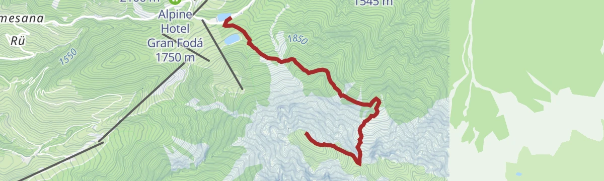
Open route Alta Badia Tourism CooperativeWalk: Furkelpass - Ücia Picio Pré
A short walk from the reservoir at the Furcia pass on trail 3 and then trail 12 to the Ücia Picio Pre hut and its sun terrace.
- 943 m
- Distance
- 183 m
- Ascent
- 41 min
- Duration
- 35
- Check-ins
Open route San Vigilio DolomitesPlan de Corones > S. Stefano > Riscone
A long descent from the 2,275 m summit of the Kronplatz on trails 8, 4 and 7 to Santo Stefano and Riscone, through meadow and forest.
- 8.9 km
- Distance
- 26 m
- Ascent
- 3 h 38 min
- Duration
- 336
- Check-ins
- Kronplatz 2 277 m
- Corones 2 274 m
- Treff Kronplatz 2 274 m
- Rifugio CAI Plan de Corones - Kronplatzhütte CAI 2 232 m
- Gipfel Restaurant Cima 2 278 m
- AlpINN 2 243 m
- +3
Open route Bruneck Kronplatz TourismusClimb to the "Ciaval" peak on the Sas dla Crusc/Santa Croce
A long ascent to the Ciaval on the Sasso di Santa Croce, between the green Badia valley and the Fanes alp, with marmots and chamois on the ridges.
- 15.1 km
- Distance
- 966 m
- Ascent
- 7 h 43 min
- Duration
- 227
- Check-ins
- Le Ciaval 2 907 m
- Piz dl Zuber 2 718 m
- Heiligkreuz-Hospitz 2 045 m
- Glam's 1 425 m
- Roda de Ciar 1 451 m
- Ju dla Crusc - Kreuzkofeljoch - Passo di Santa Croce 2 612 m
- +1
Open route Alta Badia Tourism CooperativeWalk: San Vigilio - Val - Costa - Ras
An easy walk from the Miara cable car out to the hamlet of Val, back by the Costa forest path and through Ras.
- 5.2 km
- Distance
- 195 m
- Ascent
- 1 h 44 min
- Duration
- 26
- Check-ins
Open route San Vigilio DolomitesAuf den Hausberg Kronplatz
A climb from the Ruis cable car at the Furcia pass on trail 1, turning into the wood after two long bends and holding the path to the Kronplatz summit.
- 3.2 km
- Distance
- 530 m
- Ascent
- 2 h 1 min
- Duration
- 334
- Check-ins
- Kronplatz 2 277 m
- Corones 2 274 m
- Treff Kronplatz 2 274 m
- Panorama 2 056 m
- Gipfel Restaurant Cima 2 278 m
- Bivacco 1 846 m
- +5
Open route Olang
No routes of this kind in Marebbe/Enneberg yet.
The region's own picks

Featured route
Plan de Corones > Malga Oberegger > Casola
A long descent from the summit of Plan de Corones by the Oberegger dairy to Casola, with views the whole way.
Planning a trip to Marebbe/Enneberg?
Everything else Trentino-Alto Adige/Südtirol has, in one place


Take Marebbe/Enneberg with you into the mountains
Every route on this page with 3D terrain, GPX navigation and offline maps — including the valleys with no signal.
Data sources
- Official website: sanvigilio.com ↗
- Routes and highlights: San Vigilio Dolomites, Sterzing, Pfitsch und Freienfeld, Bruneck Kronplatz Tourismus, Alta Badia, Alta Badia Tourism Cooperative, Cortina Marketing Se.Am., Olang, Tourismusgenossenschaft Antholzertal
- Published as open data by the tourist boards named above.
- Region summary generated from the board's own material.
