
 Historic site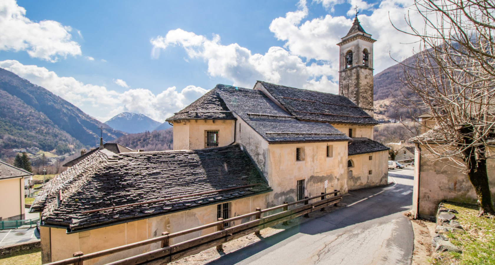










Curated by Visit Ossola
Malesco
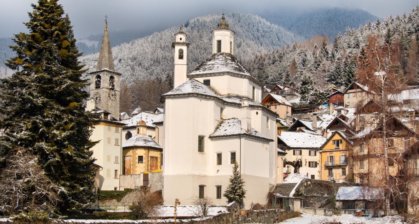
The largest village of the Val Vigezzo, part of its territory inside the Val Grande national park.
- 9Highlights
- 5Routes
- Featured summit · Cima della Laurasca
Highlights
6 from neighbouring places
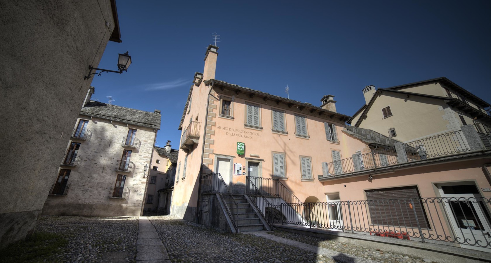
Archäologische Museum des Nationalparks Val Grande
The Val Grande park's archaeological museum at Malesco, on settlement in Italy's largest wilderness.
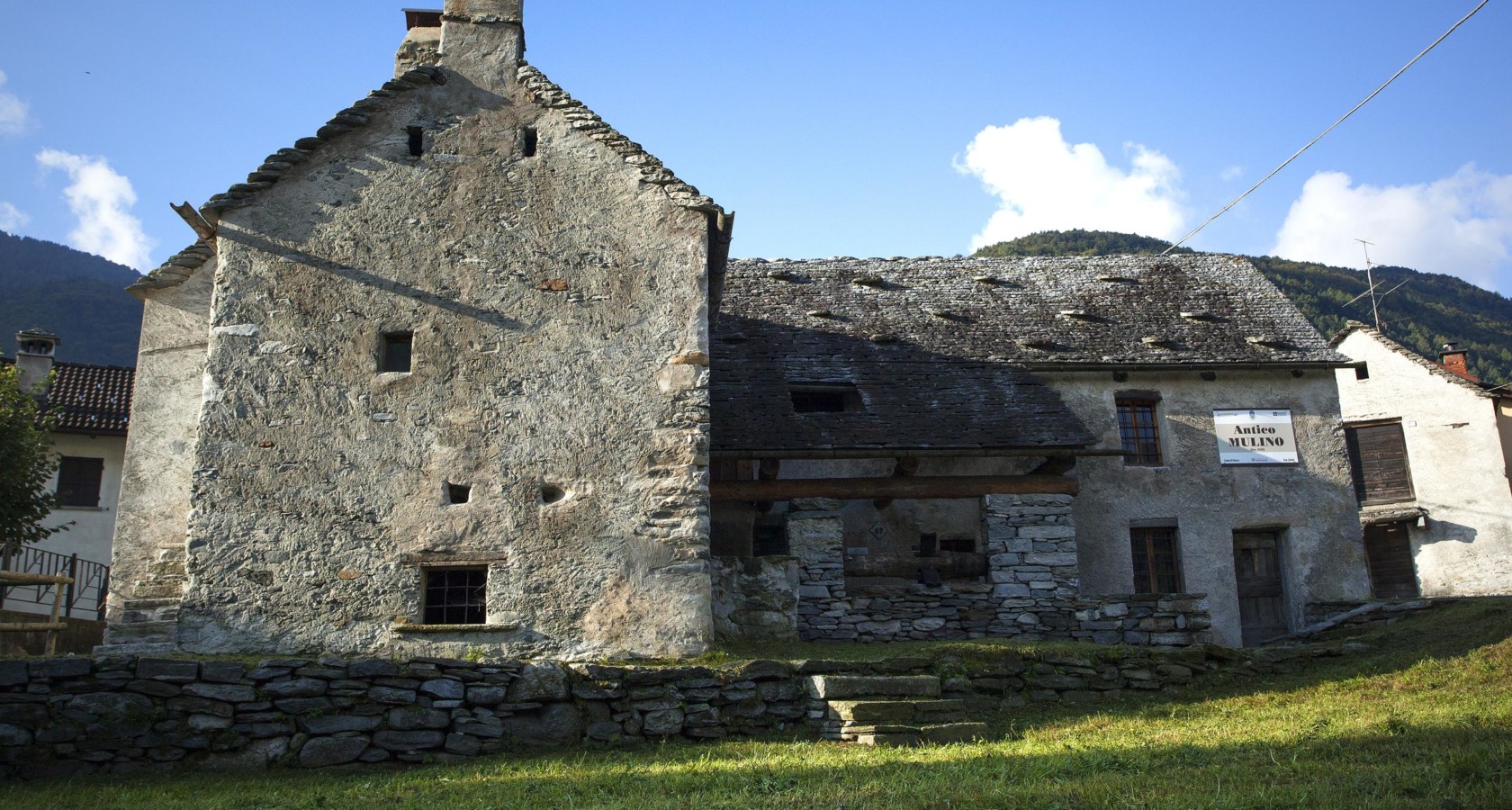
Ökomuseum ed leuzerie e di scherpelit
A Malesco ecomuseum on the quarrymen and slate-splitters who roofed the Val Vigezzo.
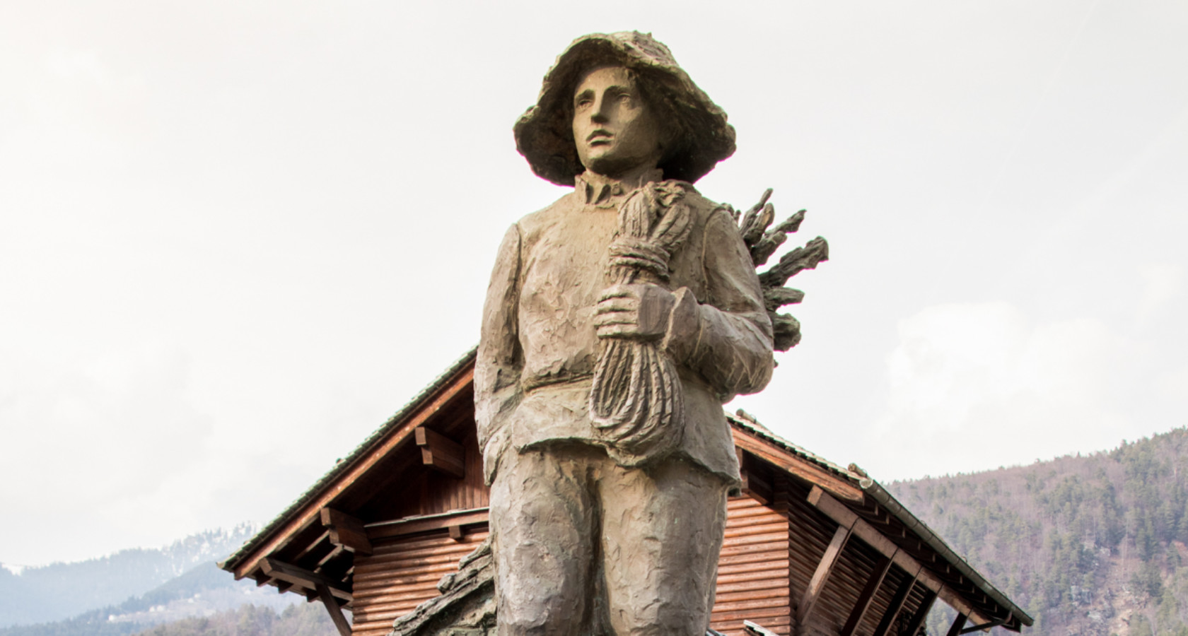
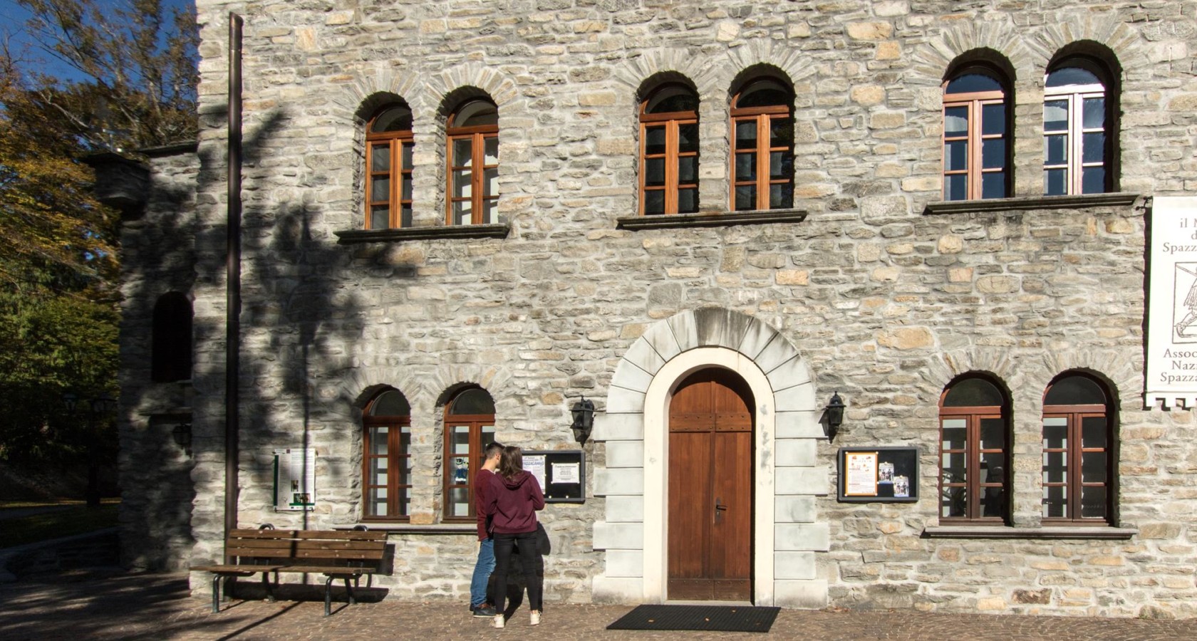
Monumento allo Spazzacamino
A monument at Malesco to the chimney sweeps the Val Vigezzo sent across Europe.
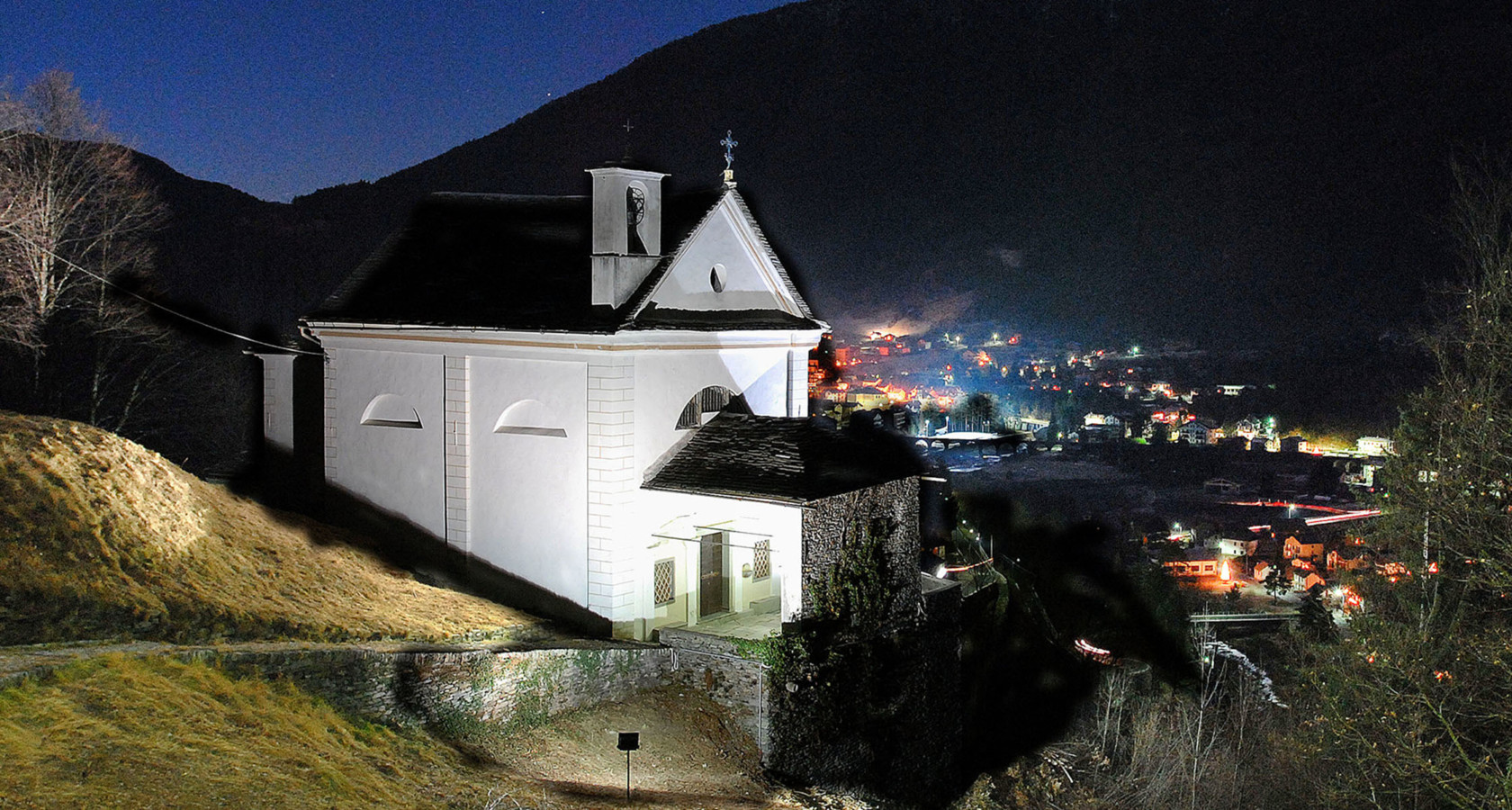
Chiesa Parrocchiale di Finero
The church of Finero, a hamlet of Malesco below the Cannobina watershed.
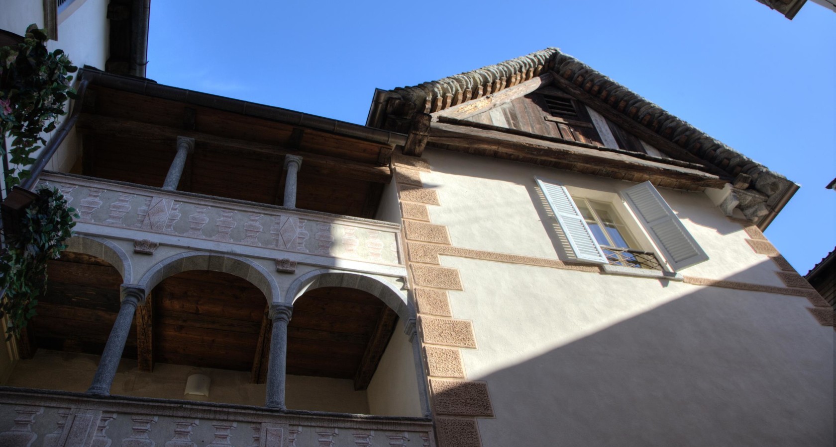
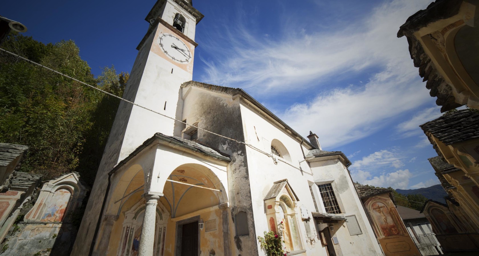
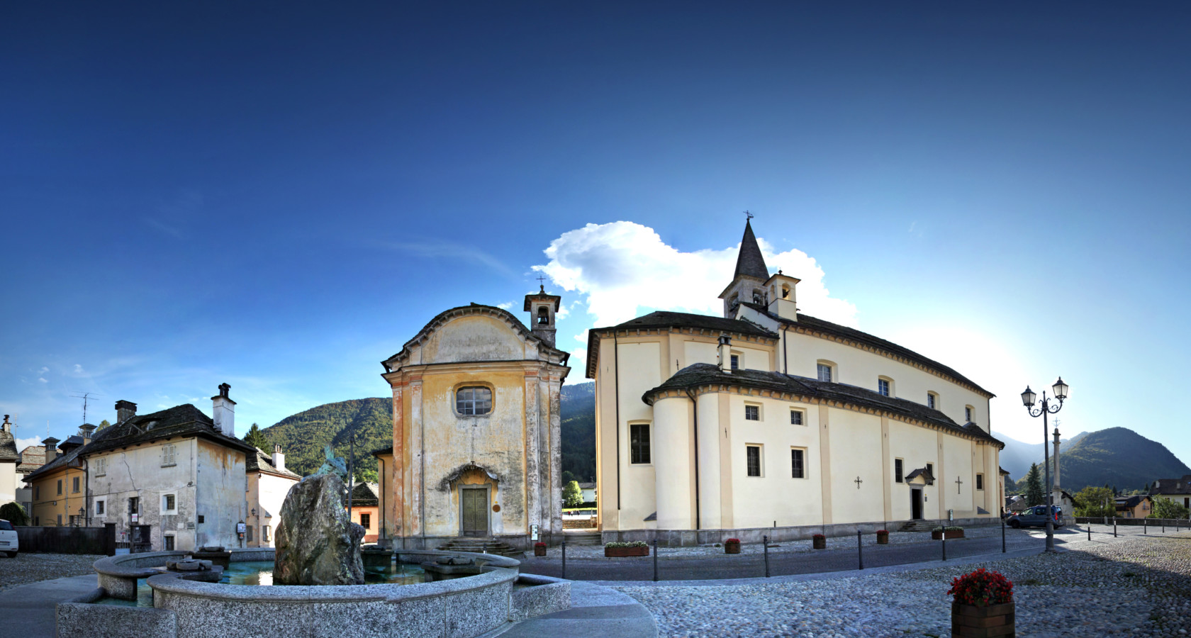
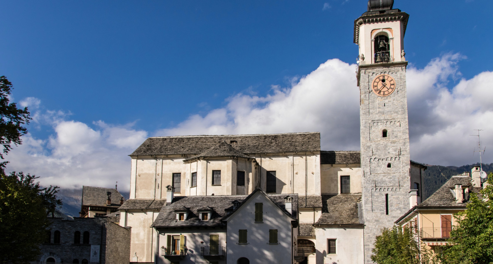
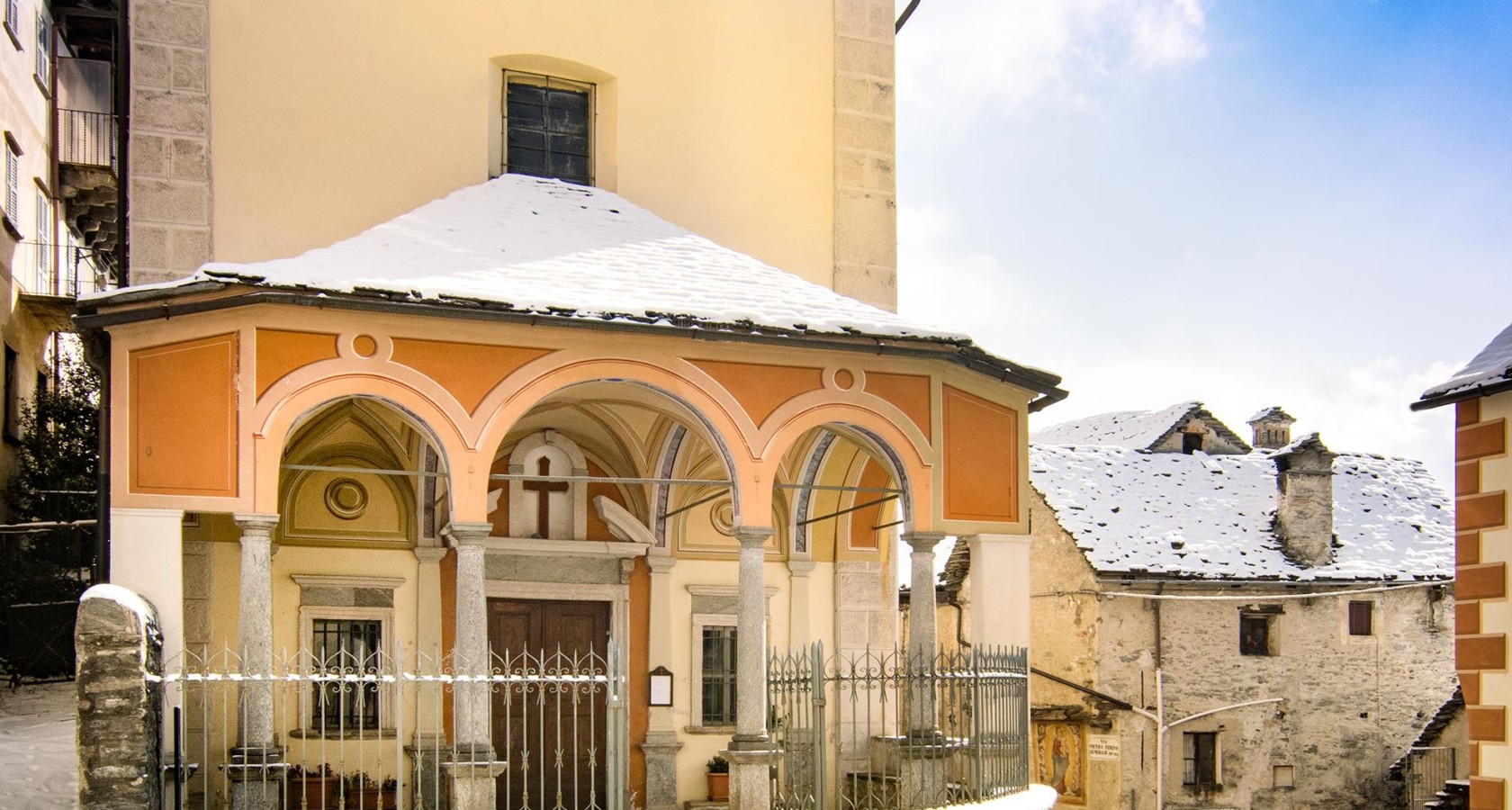
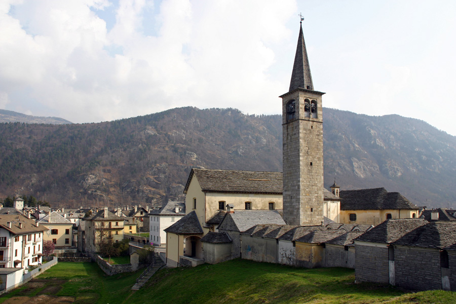
Complesso monumentale Piazza della Chiesa di Malesco
Malesco's church square, its stone buildings grouped around the parish church.
Museo dello Spazzacamino
5 km away, in Santa Maria Maggiore
A museum at Santa Maria Maggiore on the child chimney sweeps the Val Vigezzo sent abroad.
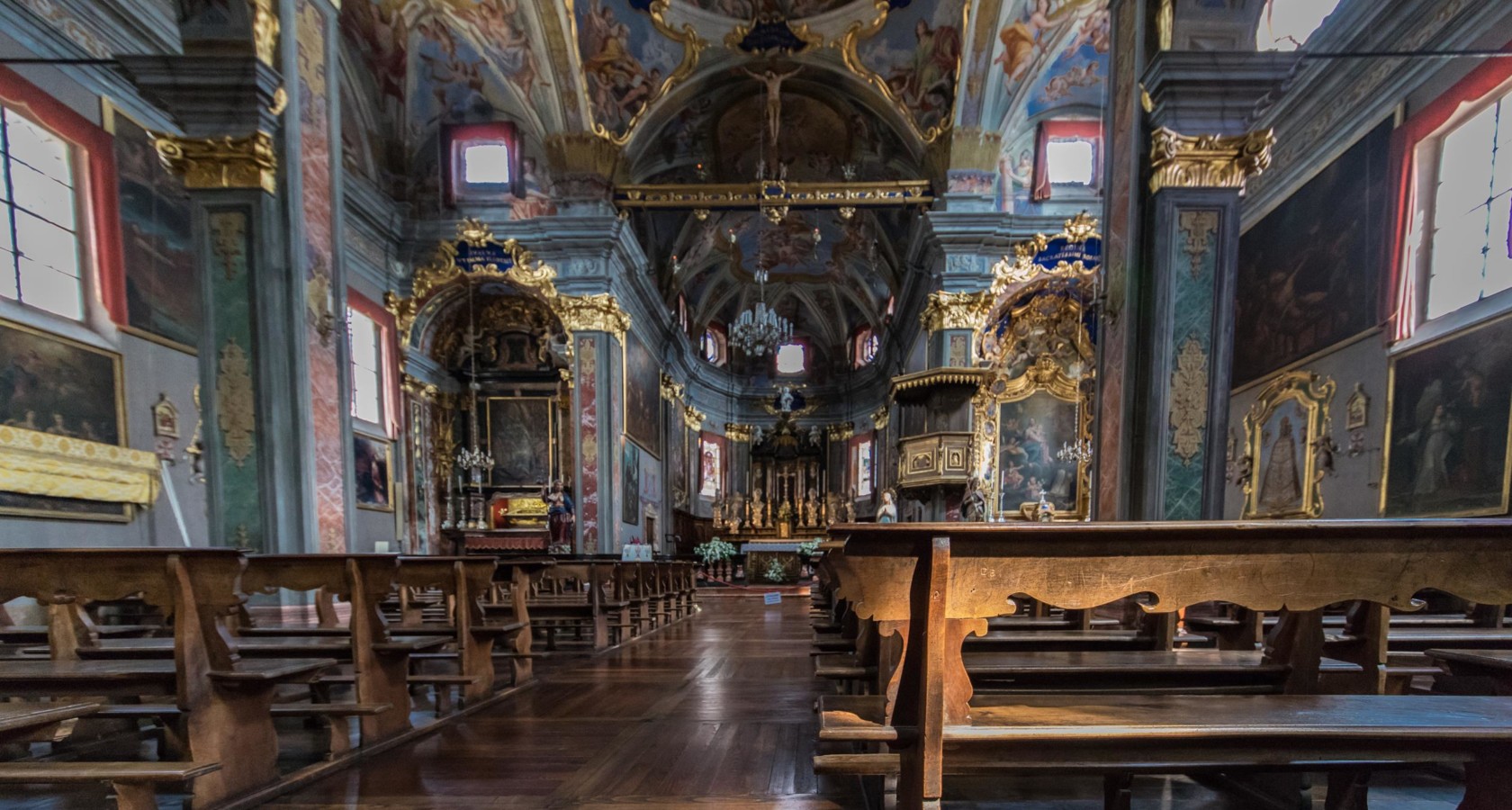
Chiesa Parrocchiale di Santa Maria Assunta
5 km away, in Santa Maria Maggiore
The parish church of Santa Maria Maggiore, at the centre of the Val Vigezzo.
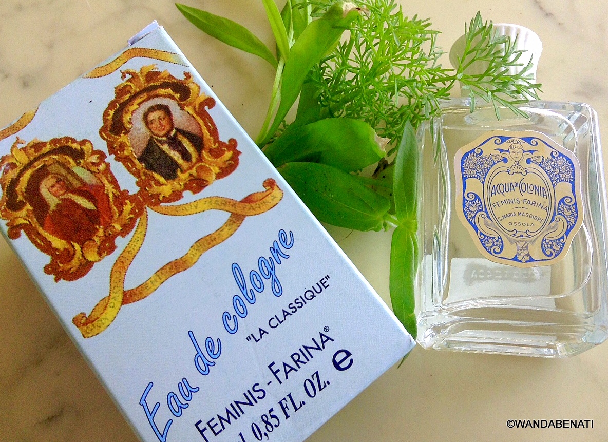
Casa del Profumo Femminis Farina
5.3 km away, in Santa Maria Maggiore
A museum at Santa Maria Maggiore to the Vigezzo emigrant whose Cologne shop gave the world eau de Cologne.
Chiesa Parrocchiale dei SS. Giacomo e Cristoforo
5.3 km away, in Craveggia
Craveggia's parish church, at the centre of the Val Vigezzo village.
Oratorio di Sant’Antonio Abate e da Padova
5.4 km away, in Craveggia
An oratory at Craveggia, painted inside, in the Val Vigezzo.
Nothing of this kind in Malesco.
Routes
15 from neighbouring places
Via Geoalpina: Tappa 5 Alpe Scaredi
A stage of the Via Geoalpina from the Vigezzo valley up to the Alpe Scaredi, on the northern edge of the Val Grande.
- 12.1 km
- Distance
- 768 m
- Ascent
- 5 h 14 min
- Duration
- 18
- Check-ins
Trekking
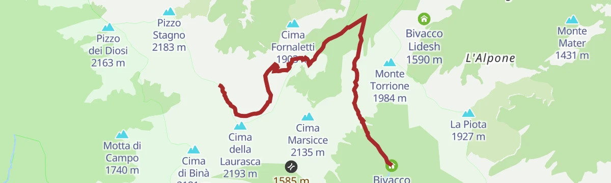
The climb to the Cima della Laurasca above Malesco, on the Vigezzo side of the Val Grande national park.
- 12.6 km
- Distance
- 998 m
- Ascent
- 6 h 27 min
- Duration
- 23
- Check-ins
PERCORSO CICLABILE: Vigezzo Bike Land
An easy cycle path through the Valle Vigezzo around Druogno, crossing the watershed between the two Melezzo streams.
- 11.9 km
- Distance
- 133 m
- Ascent
- 1 h 14 min
- Duration
- 3
- Check-ins
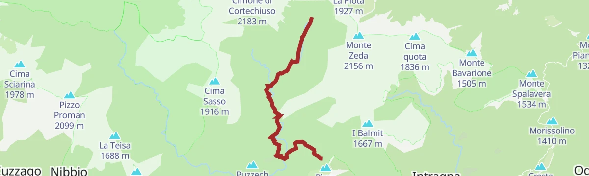
Via Geoalpina: Tappa 4 Alpe Pian di Boit
A steep stage of the Via Geoalpina above Miazzina, climbing to the Alpe Pian di Boit on the edge of the Val Grande.
- 9.6 km
- Distance
- 1 642 m
- Ascent
- 9 h 18 min
- Duration
- 21
- Check-ins
VIA DEL MERCATO Tappa 2: Santa Maria Maggiore
The second stage of the Via del Mercato, crossing the Val Vigezzo by way of Santa Maria Maggiore.
- 17.3 km
- Distance
- 430 m
- Ascent
- 5 h 6 min
- Duration
PERCORSO SLOW TREK
8 km away, in Craveggia
A short slow-walking route on the slopes above Craveggia in the Vigezzo valley.
- 2.7 km
- Distance
- 220 m
- Ascent
- 1 h 25 min
- Duration
- 4
- Check-ins
 Bivacco Emilio Greppi 1 915 m
 Laghetto di Muino inferiore 1 887 m
 Bocchetta di Muino 1 977 m
PERCORSO MTB: Sulla Linea Cadorna dell'Alto Verbano
14.1 km away, in Oggebbio
A ride on the old Linea Cadorna military tracks above Lake Maggiore, by the Folungo pass and Pian Vadà.
- 29.6 km
- Distance
- 1 142 m
- Ascent
- 3 h 42 min
- Duration
- 24
- Check-ins
VIA BORROMEA Tappa 1: Re
5.9 km away, in Re
The opening stage of a waymarked pilgrim route in the Piemonte pre-Alps, a steady half-day of walking out of the village.
- 9.2 km
- Distance
- 345 m
- Ascent
- 2 h 60 min
- Duration
PERCORSO CICLABILE: Ciclovia del Toce/In bici tra i fiori
14.7 km away, in Ornavasso
A level cycleway from Ornavasso down to the reedbeds of Fondotoce and Verbania Pallanza, through the flower nurseries of Lago Maggiore.
- 13.5 km
- Distance
- 10 m
- Ascent
- 1 h 13 min
- Duration
Via Borromea
5.9 km away, in Re
A long-distance walk from the lakeshore at Cannobio, passing the Orrido di Sant'Anna and climbing steadily inland as far as Re.
- 25.2 km
- Distance
- 675 m
- Ascent
- 7 h 34 min
- Duration
- 1
- Check-ins
PERCORSO CICLABILE/MTB: Ciclovia del Toce/In bici tra i boschi
14.2 km away, in Ornavasso
A flat riverside cycleway from Vogogna to Ornavasso, through farmland and the lowland woods of Bosco Tenso.
- 41.4 km
- Distance
- 92 m
- Ascent
- 3 h 46 min
- Duration
Circuito di San Carlo Tappa 2a: Falmenta-Cursolo
8.2 km away, in Valle Cannobina
A steep connecting leg between two villages of the Valle Cannobina, with 700 m of climbing on the slopes opposite Crealla.
- 6.3 km
- Distance
- 0 m
- Ascent
- 1 h 28 min
- Duration
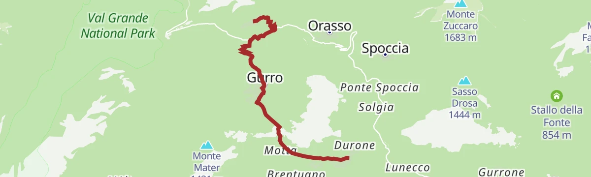
Via Geoalpina: Tappa 1 Cursolo
6.1 km away, in Valle Cannobina
A long opening stage in the Valle Cannobina over Monte Barro, linking the Rifugio Monte Vecchio with the Rifugio del Pian Vadà.
- 19.5 km
- Distance
- 1 630 m
- Ascent
- 10 h 24 min
- Duration
- 10
- Check-ins
Via Geoalpina: Tappa 2 Rifugio di Pian Vadà
8 km away, in Aurano
A ridge stage above Aurano over Pizzo Marona and Pian Cavallone, crossing the Passo del Diavolo high above Lago Maggiore.
- 8.5 km
- Distance
- 370 m
- Ascent
- 2 h 55 min
- Duration
- 55
- Check-ins
VIA BORROMEA Tappa 2: Orasso
7.5 km away, in Valle Cannobina
A stage climbing inland from Cannobio past the gorge at the Orrido di Sant'Anna, heading up the valley towards Orasso.
- 16.0 km
- Distance
- 330 m
- Ascent
- 4 h 34 min
- Duration
- 1
- Check-ins
Via Geoalpina: Tappa 3 Alpe Curgei
10.1 km away, in Miazzina
A stage of the Via Geoalpina climbing above Miazzina to the Alpe Curgei, on the edge of the Val Grande wilderness.
- 10.8 km
- Distance
- 675 m
- Ascent
- 4 h 37 min
- Duration
- 4
- Check-ins
Circuito di San Carlo Tappa 2: Falmenta
8.2 km away, in Valle Cannobina
A demanding stage in the steep-sided Valle Cannobina, gaining a thousand metres between hamlets and passing a viewpoint over Crealla.
- 11.9 km
- Distance
- 0 m
- Ascent
- 2 h 46 min
- Duration
Via Geoalpina: Tappa 6 Alpe La Colma
11 km away, in Premosello-Chiovenda
A long, nearly level stage above Premosello-Chiovenda, running out to the saddle at 1,728 m where a bivouac hut stands.
- 13.1 km
- Distance
- 190 m
- Ascent
- 3 h 32 min
- Duration
- 3
- Check-ins
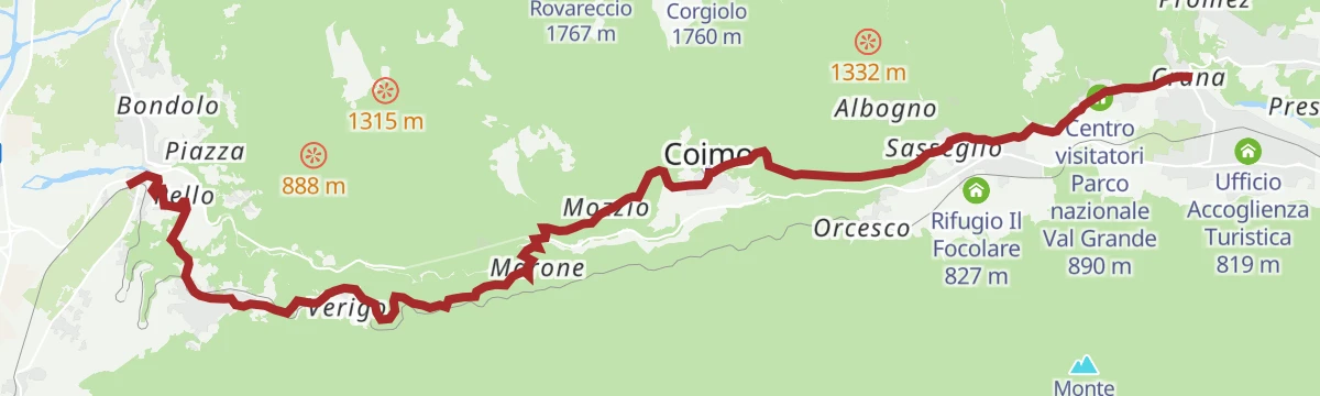
Via del Mercato: Tappa 1 Masera
13.5 km away, in Masera
A first stage climbing from Masera through Trontano and Verigo up to the visitor centre of the Val Grande national park.
- 15.7 km
- Distance
- 620 m
- Ascent
- 5 h 12 min
- Duration
Via geoalpina: tappa 1a piancavallo
14.3 km away, in Oggebbio
A long traverse stage above Oggebbio on the Verbano slope, crossing the Passo Folungo at nearly 1,400 m.
- 13.9 km
- Distance
- 470 m
- Ascent
- 4 h 25 min
- Duration
- 12
- Check-ins
No routes of this kind in Malesco yet.
The region's own picks
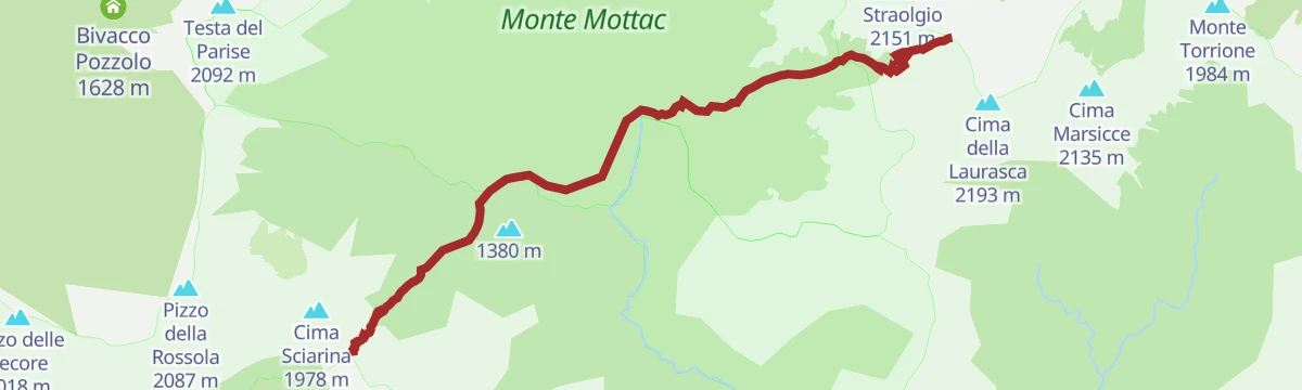
Featured route
Via Geoalpina: Tappa 5 Alpe Scaredi
A stage of the Via Geoalpina from the Vigezzo valley up to the Alpe Scaredi, on the northern edge of the Val Grande.
Planning a trip to Malesco?
Everything else Piedmont has, in one place


Take Malesco with you into the mountains
Every route on this page with 3D terrain, GPX navigation and offline maps — including the valleys with no signal.
Data sources
- Official website: visitossola.it ↗
- Routes and highlights: Visit Ossola, Piemonte Outdoor, Distretto dei Laghi, Bookingpiemonte
- Published as open data by the tourist boards named above.
- Region summary generated from the board's own material.
