
Curated by Bodensee-Vorarlberg Tourismus
Lochau
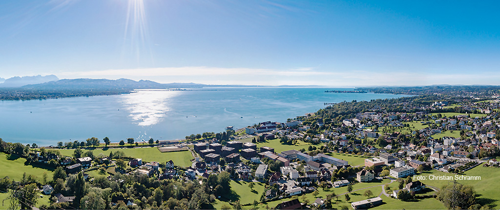
The last village on the Austrian side of the Bodensee before the German border, squeezed onto the shore below the Pfänder with its harbour and lakeside path.
- 7Highlights
- 14Routes
Highlights
8 from neighbouring places
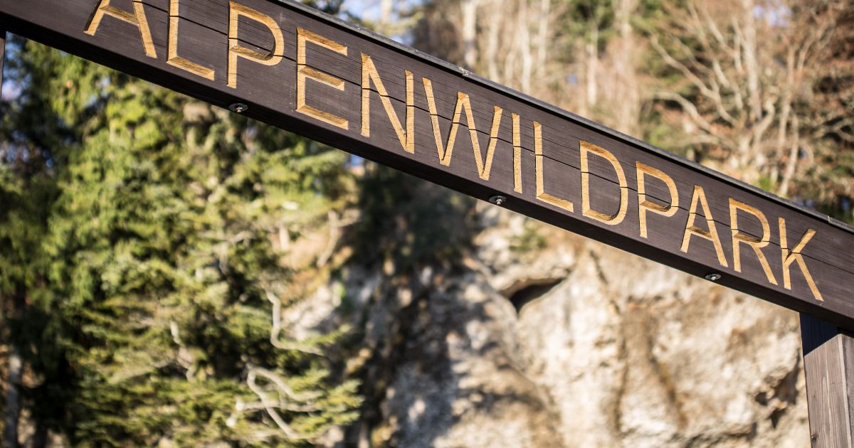
Alpenwildpark Pfänder
A wildlife enclosure on the Pfänder above Lochau, where a walking loop from the top station passes alpine animals.
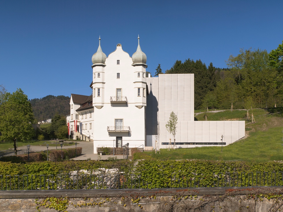
Schloss Hofen
A Renaissance castle of the Counts of Raitenau, since 1981 a centre for science and continuing education.
Rodeln am Pfänder
A prepared toboggan slope by the Pfänderdohle, a few steps below the Pfänderbahn top station when snow allows.
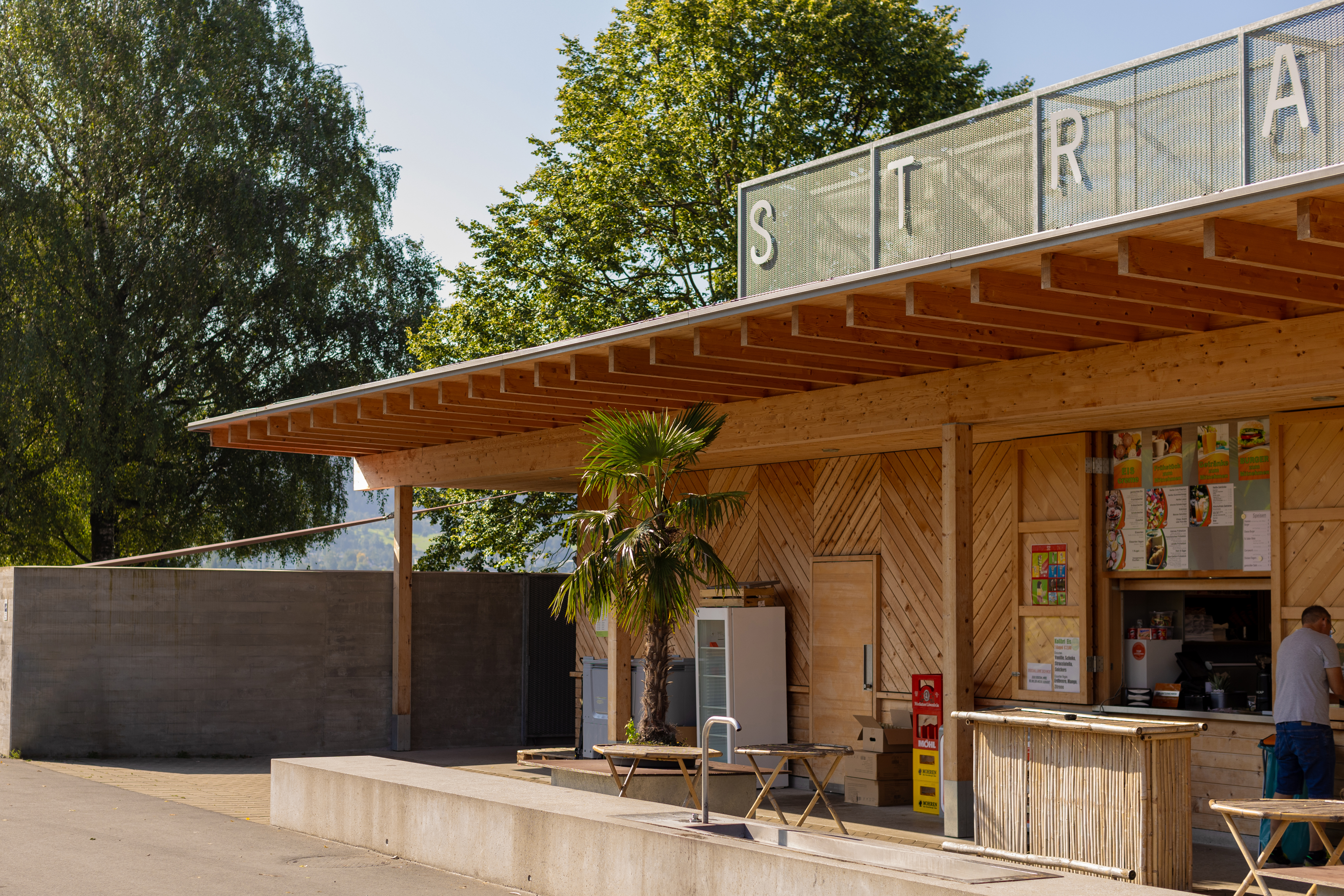
Strandbad Lochau
A lido on what Lochau calls the longest free bathing beach on the whole Bodensee, among the finest on the lake.
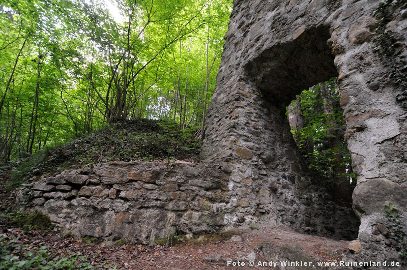
Burgruine Alt-Hofen
A castle ruin above Lochau, built for defence and now reduced to its walls.
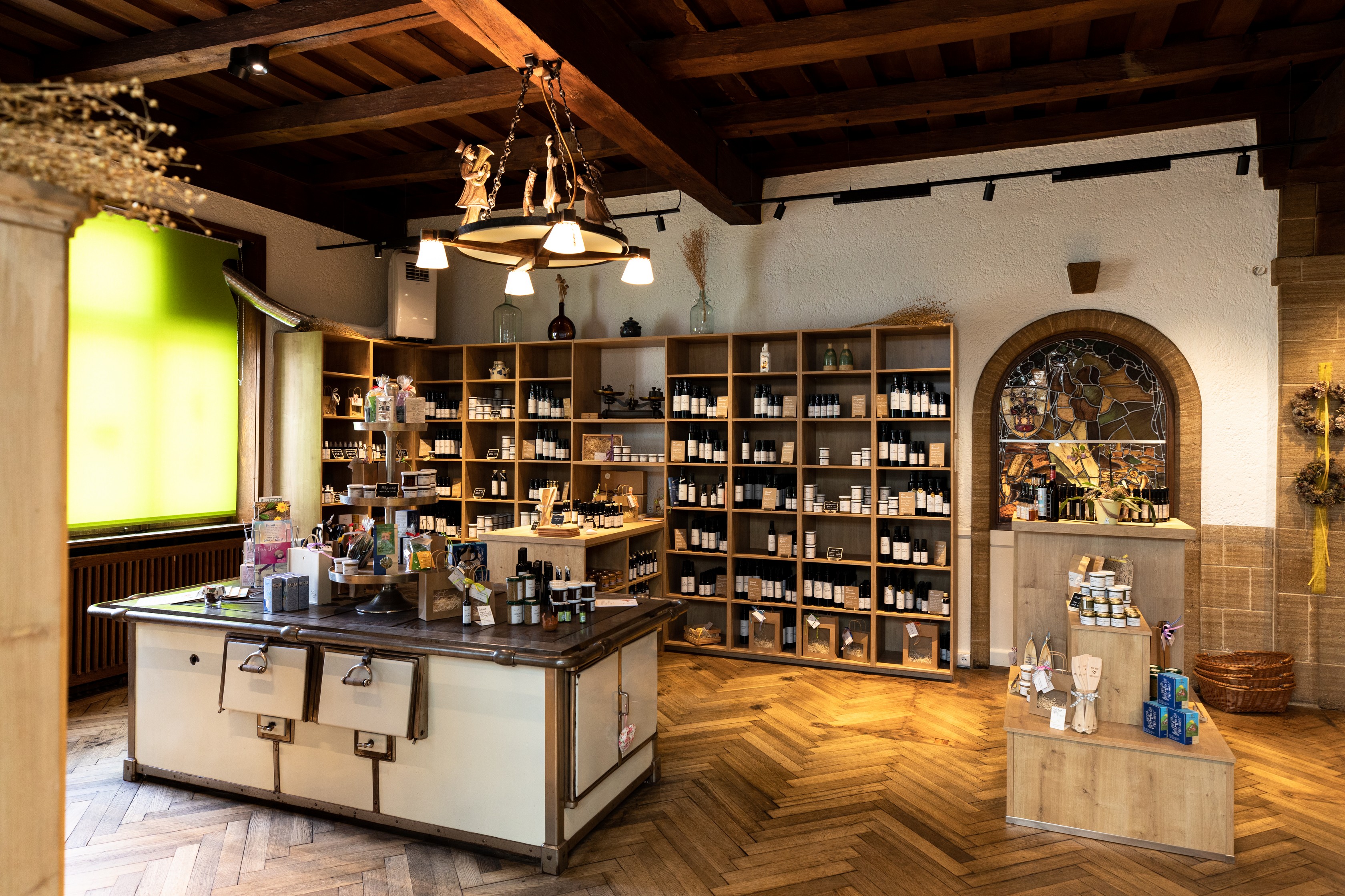
Pfändergold
Homemade fruit and vegetable preserves from a Lochau kitchen, awarded a Goldene Birne in 2013.
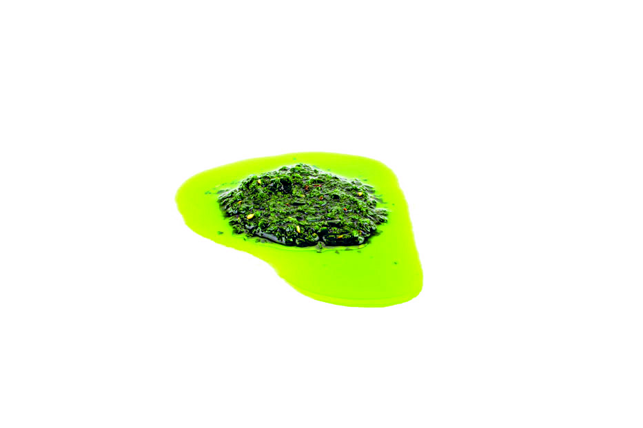
Ölmühle Sailer
An oil mill in Lochau pressing organic and raw-food plant oils, using the whole seed for oil, flour and purée.
Pipeline Bregenz
1.8 km away, in Bregenz
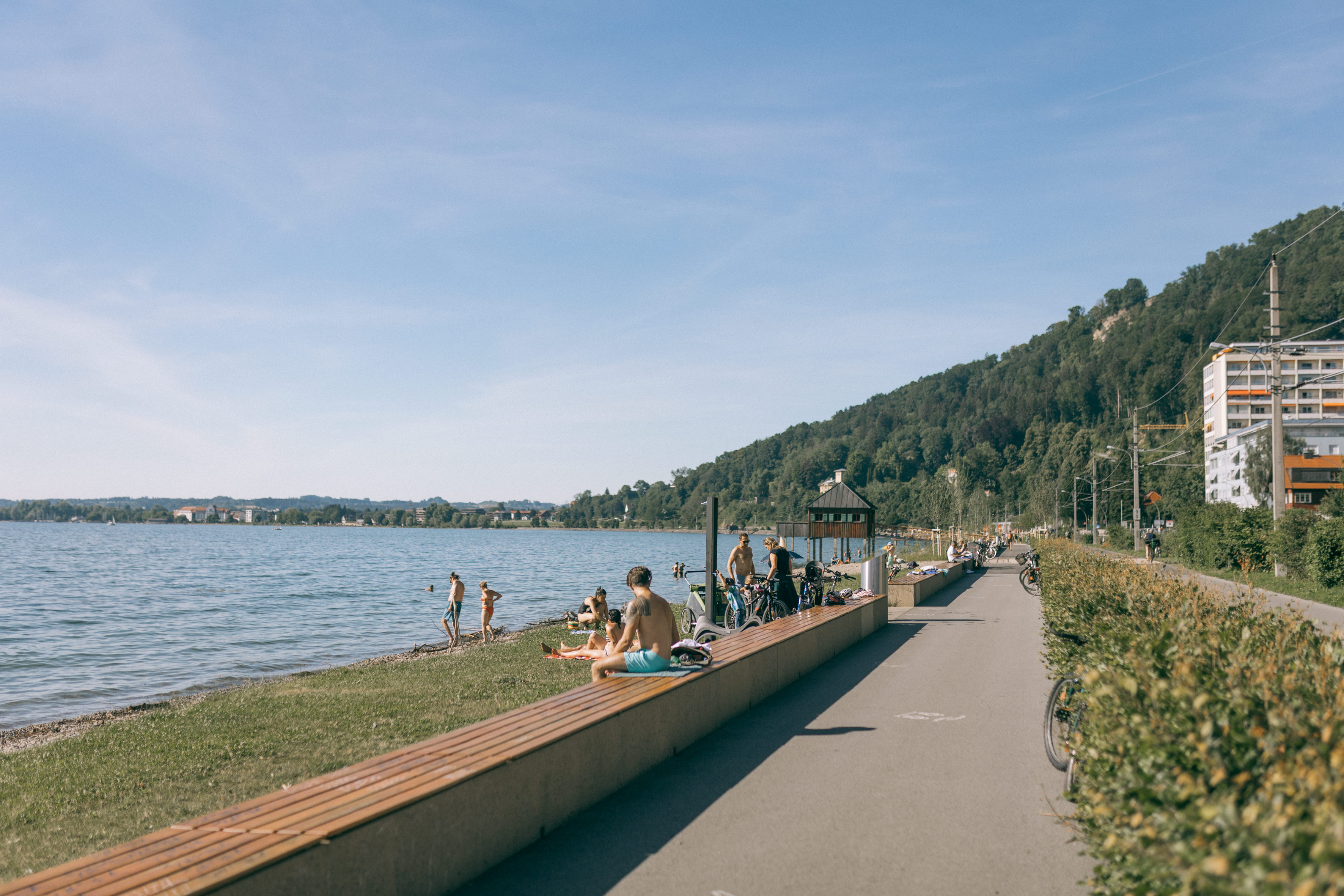
A shore strip from the Bregenz harbour to the Strandbad Lochau, with bathing places and grills along it.
Ehemaliges Militärschwimmbad "Mili"
2 km away, in Bregenz
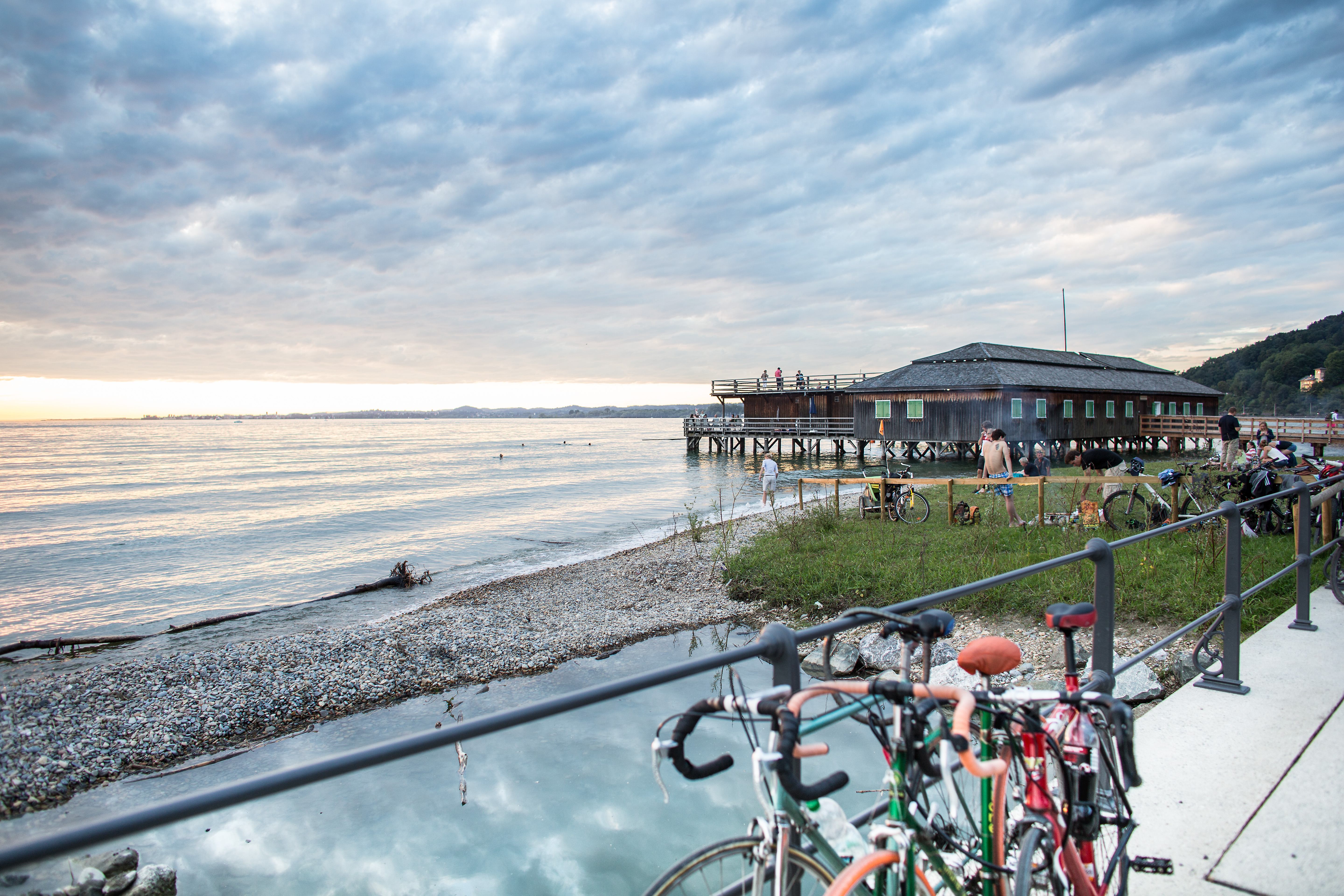
A timber pile-built lido, a rare survivor on the Bodensee, with a sun terrace over the water.
Pfänderbahn
2.1 km away, in Bregenz
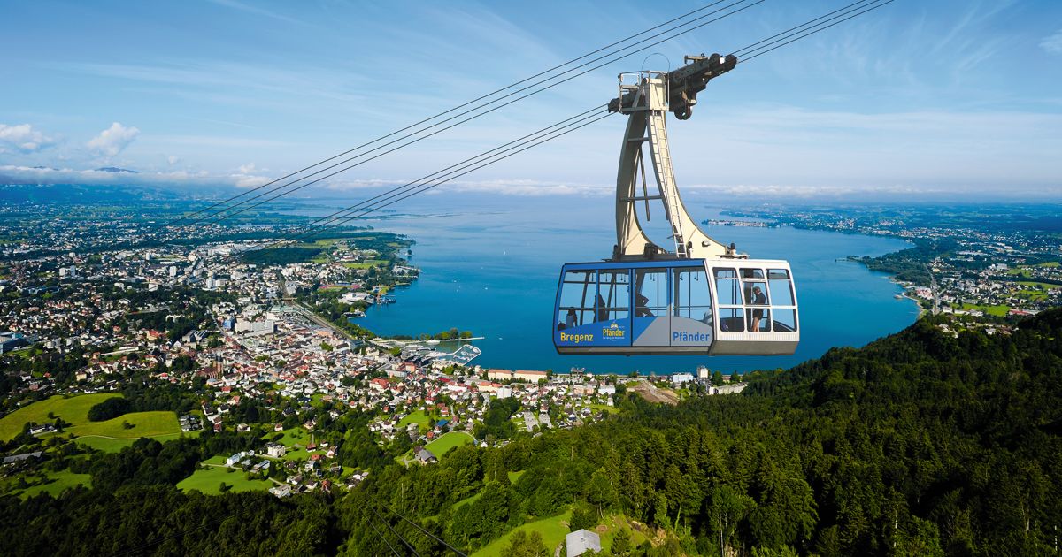
A cable car up from Bregenz since 1927, the quickest way onto the Pfänder and its view over the Bodensee.
Pfänderbahn Museum
2.1 km away, in Bregenz
A small museum at the Bregenz valley station of the Pfänderbahn, on the history of the cable car up the Pfänder.
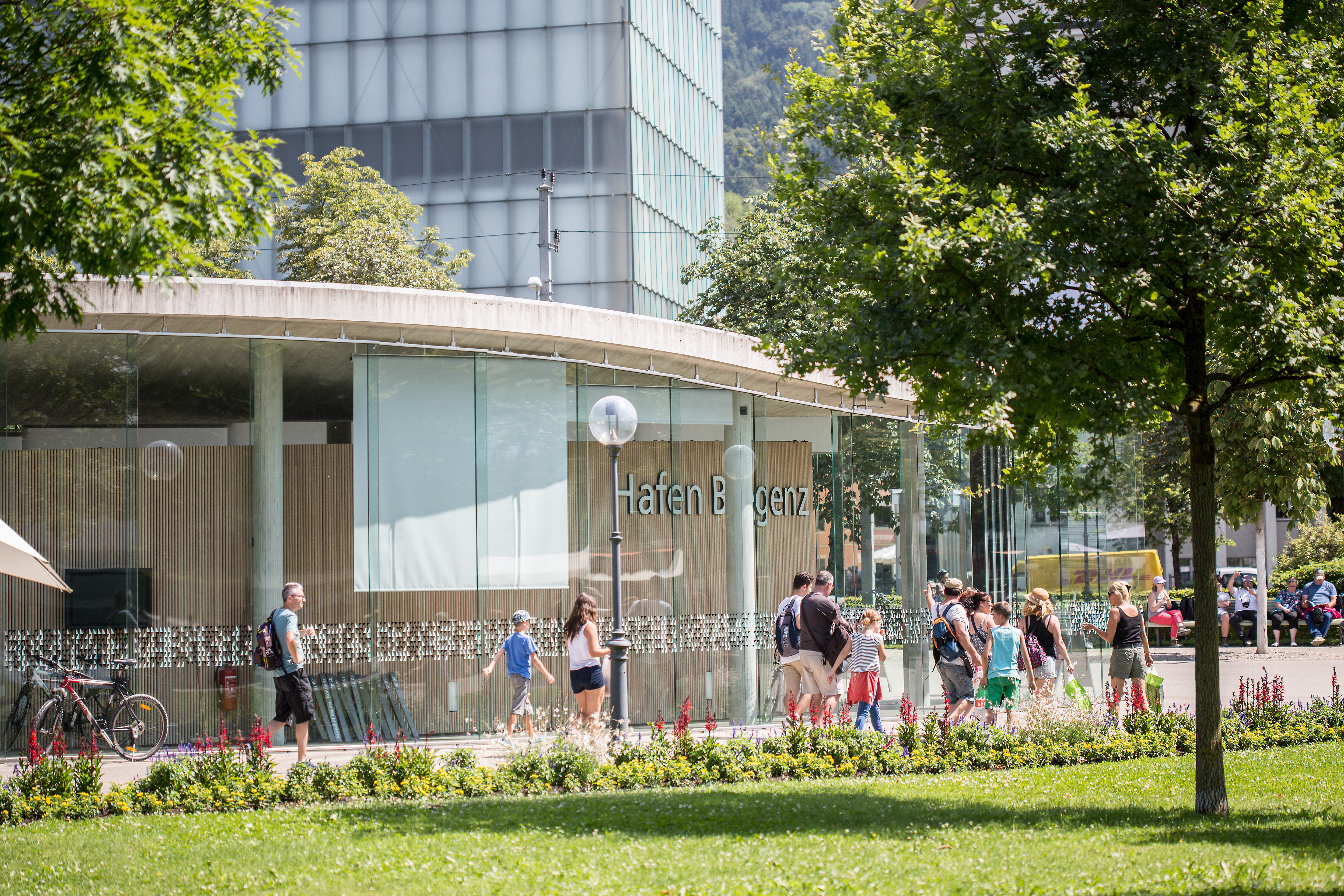
Hafengebäude "Die Welle"
2.2 km away, in Bregenz
A harbour building by Wolfgang Ritsch with Nägele Waibel and Bruno Spagolla, built when the boat landings moved towards the centre.
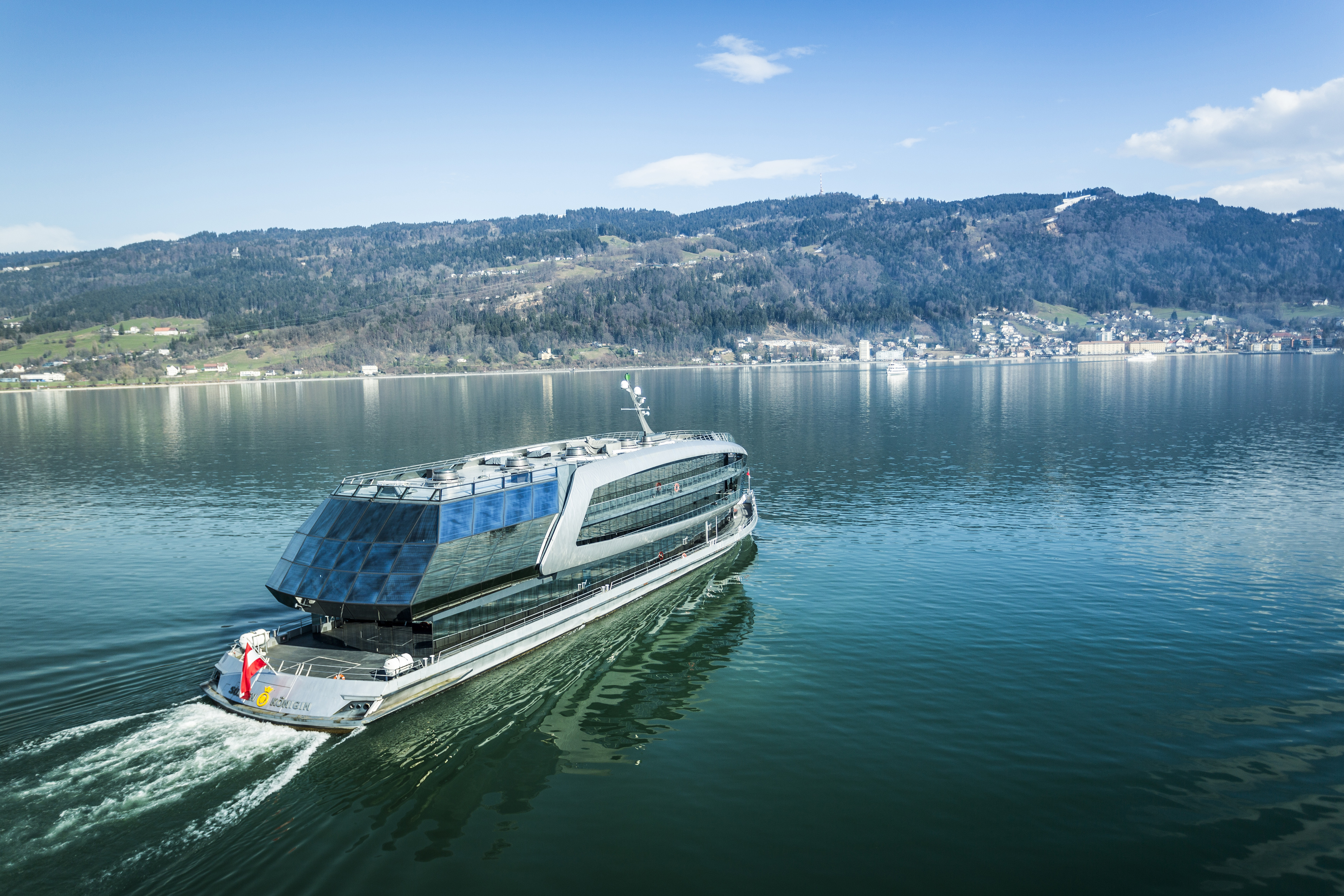
MS Sonnenkönigin
2.4 km away, in Bregenz
An event ship on the Bodensee taking up to 1,000 guests, with a 360° sun deck.
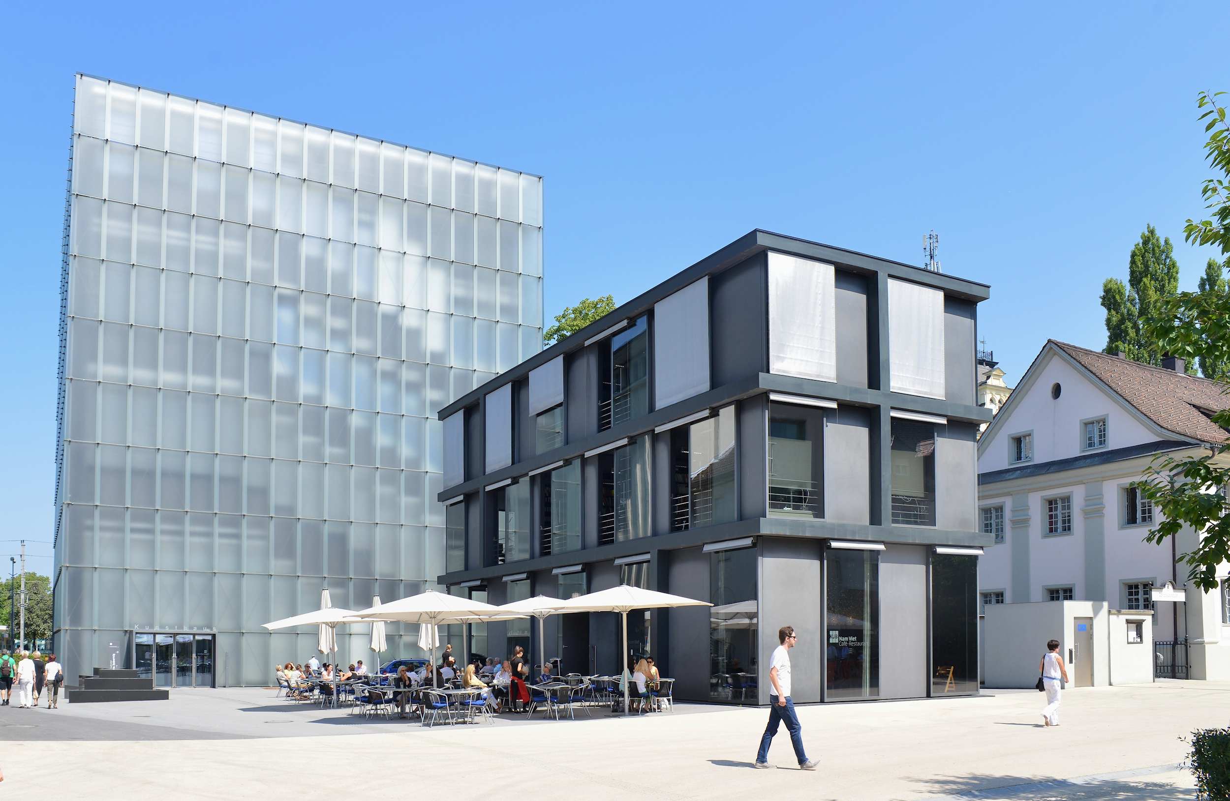
Kunsthaus Bregenz
2.4 km away, in Bregenz
Peter Zumthor's glass shell over a concrete cube, open since 1997 and lit by the lake.
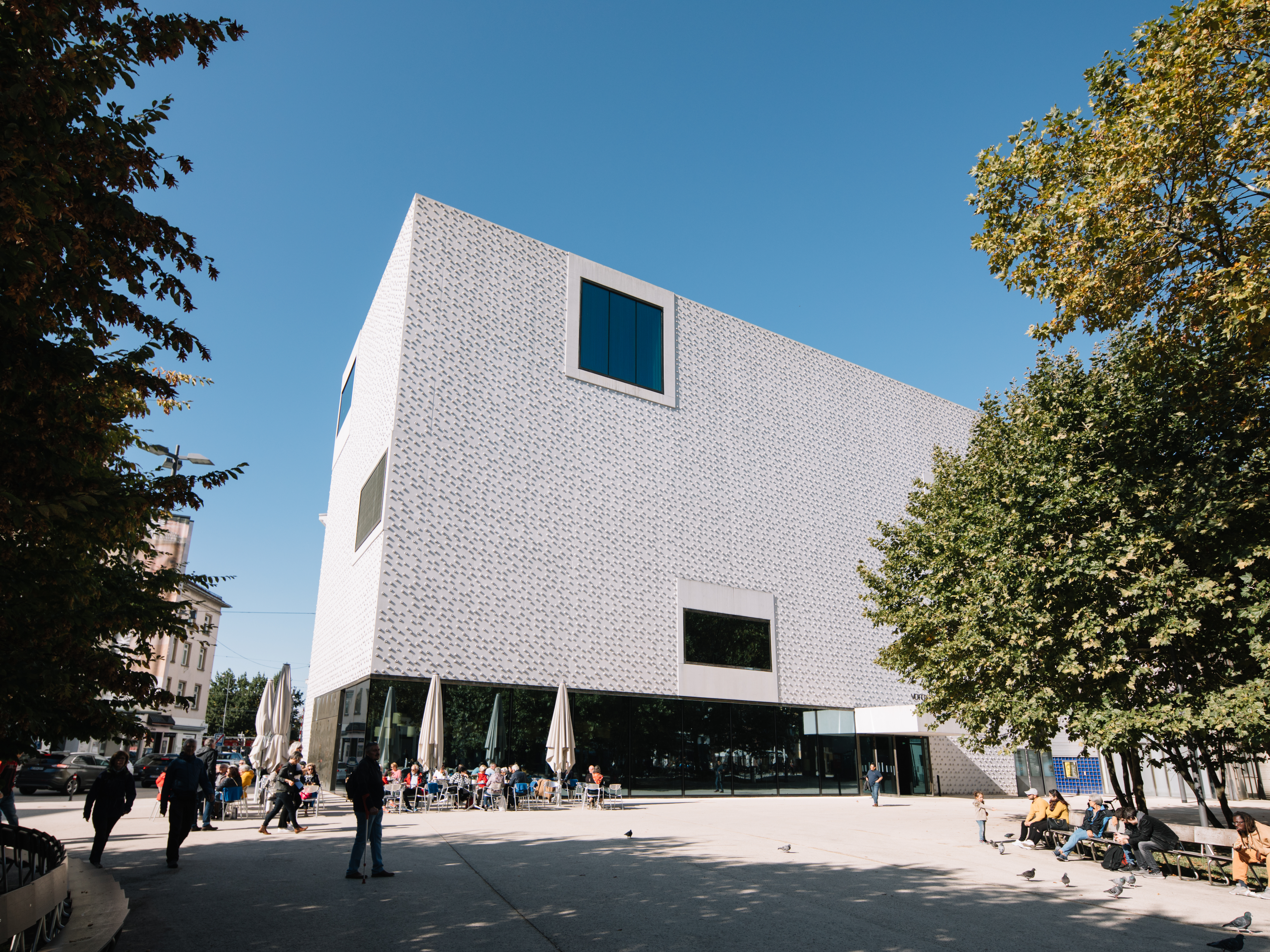
vorarlberg museum
2.4 km away, in Bregenz
The provincial collection, tracing back to the Landesmuseumsverein founded in 1857.
 Historic site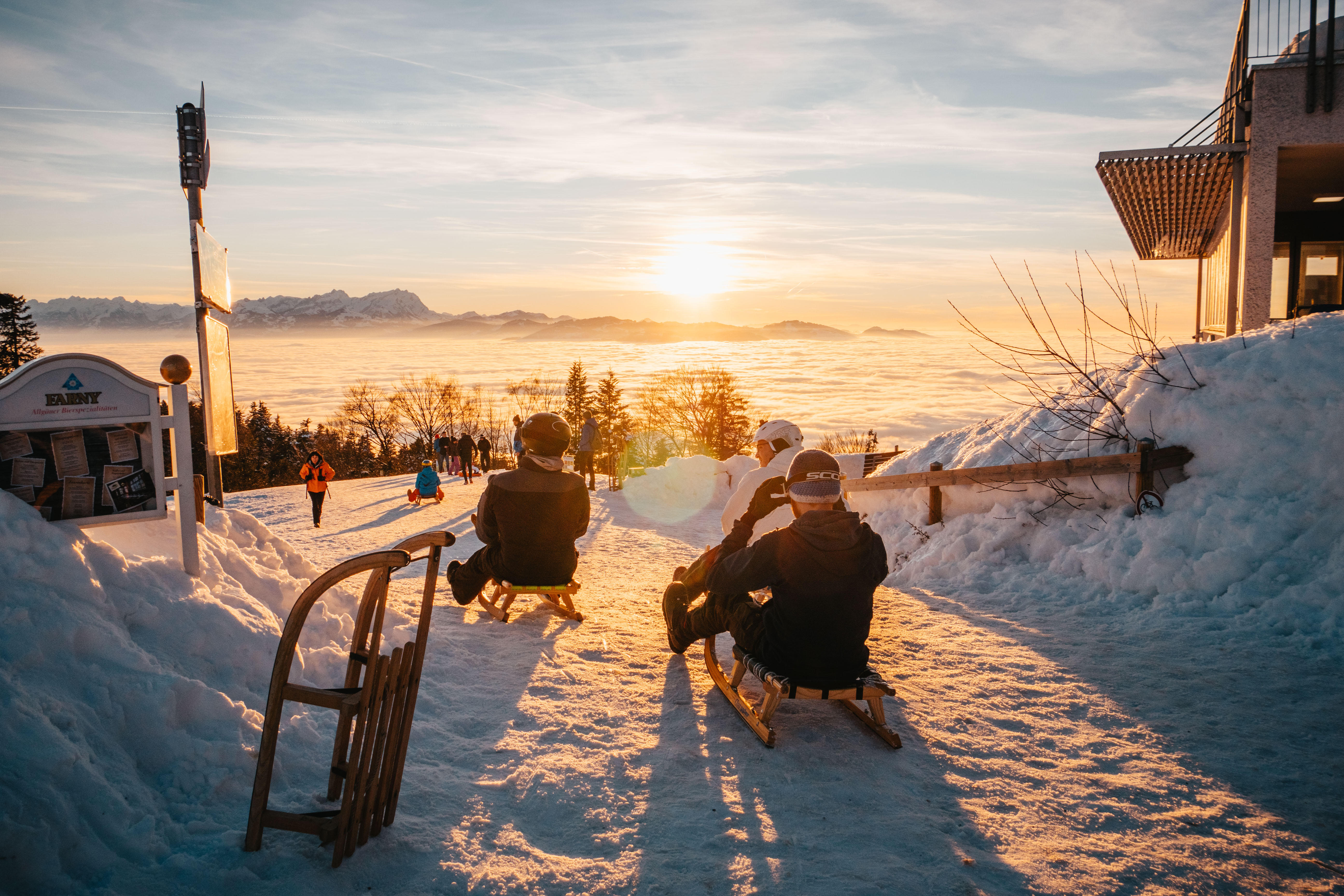
 Cable car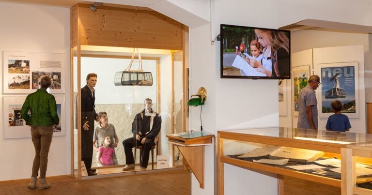
Nothing of this kind in Lochau.
Routes
Abwechslungsreiche Talwanderung: Pfänderbahn – Lohorn – Altreute – Bregenz
From the Pfänderbahn top station down through the hamlets of Lohorn, Riese and Altreute to the valley station, 644 m of descent.
- 4.0 km
- Distance
- 11 m
- Ascent
- 1 h 39 min
- Duration
Open route Bodensee-Vorarlberg TourismusAusschau vom Pfänder
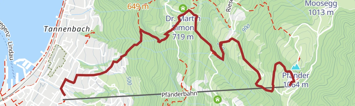
The full climb from the Pfänderbahn valley station at 420 m by Hintermoos and the Pfänderdohle to the 1062 m summit.
- 3.7 km
- Distance
- 609 m
- Ascent
- 2 h 20 min
- Duration
Open route Bodensee-Vorarlberg Tourismus3 Tausender Höhenrundweg: Pfänder – Hochberg – Hirschberg
A ridge round from the 1,064 m Pfänder over the Hochberg and the Hirschberg, looking out over Lake Constance and the Rheintal.
- 17.1 km
- Distance
- 455 m
- Ascent
- 5 h 8 min
- Duration
Open route Vorarlberg TourismusLeiblachtal Route
From the lakeside promenade along the Pipeline and the Leiblach as far as Hohenweiler, 133 m of climbing.
- 13.5 km
- Distance
- 104 m
- Ascent
- 1 h 16 min
- Duration
Open route Vorarlberg TourismusBodenseeradweg FRW
The Vorarlberg leg of a 216 km lakeside long-distance route through the four-country region.
- 17.9 km
- Distance
- 10 m
- Ascent
- 1 h 36 min
- Duration
Open route Vorarlberg TourismusPanoramawanderung am Pfänderrücken
A ridge walk in the three-country corner, looking across the settled Rheintal to the Bodensee and the harder summits beyond.
- 6.9 km
- Distance
- 132 m
- Ascent
- 1 h 57 min
- Duration
Open route Bodensee-Vorarlberg TourismusAussichtsreiche Talwanderung: Pfänderbahn – Fluh – Gebhardsberg – Bregenz
A 745 m descent from the Pfänderbahn top station through Fluh and the Buchwaldweg to the Gebhardsberg, then the Stadtwald into the medieval Oberstadt.
- 8.6 km
- Distance
- 89 m
- Ascent
- 2 h 47 min
- Duration
Open route Bodensee-Vorarlberg TourismusMin Weag 02 | Pfänder/Moosegg – Sulzberg
A Min Weag stage high above Lake Constance through wood and field to an alp, then over meadows to Sulzberg.
- 16.7 km
- Distance
- 712 m
- Ascent
- 5 h 40 min
- Duration
Open route Vorarlberg TourismusRund um den Pfänder
A circuit of the Pfänder from Bregenz station over Fluh, Hirschberg and Hochberg to Möggers, returning by Hörbranz and Lochau with 891 m of climbing.
- 27.4 km
- Distance
- 757 m
- Ascent
- 3 h 9 min
- Duration
Open route Bodensee-Vorarlberg TourismusRund um Lochau
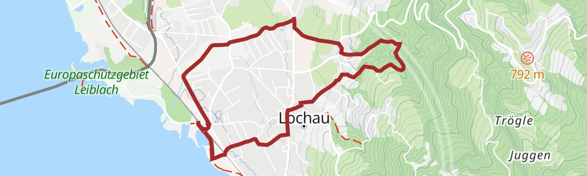
An easy round of the village with 140 m of climbing, about two hours at a walk.
- 5.8 km
- Distance
- 142 m
- Ascent
- 1 h 42 min
- Duration
Open route Bodensee-Vorarlberg TourismusLochau – Eichenberg – Lochau
A round from Lochau up to Eichenberg and back, 515 m of climbing over about three and a half hours.
- 9.2 km
- Distance
- 455 m
- Ascent
- 3 h 21 min
- Duration
Open route Bodensee-Vorarlberg TourismusUrban & Culture Bike Tour
Quiet green space, city and architecture on the ride down to the Bodensee at Bregenz, 100 m of climbing.
- 21.6 km
- Distance
- 103 m
- Ascent
- 2 h 2 min
- Duration
Open route Vorarlberg TourismusSportliche Talwanderung: Pfänderbahn – Gschliefweg – Bregenz
The short way down from the 1064 m Pfänder by the Gschliefweg, 628 m of descent in about 70 minutes.
- 3.7 km
- Distance
- 0 m
- Ascent
- 1 h 34 min
- Duration
Open route Bodensee-Vorarlberg TourismusMin Weag 01 | Bregenz – Pfänder/Moosegg
Two and a half hours from the city centre through forest onto the 1,064 m Hausberg, 683 m of climbing.
- 6.4 km
- Distance
- 660 m
- Ascent
- 2 h 54 min
- Duration
Open route Vorarlberg Tourismus




No routes of this kind in Lochau yet.
Planning a trip to Lochau?
Everything else Vorarlberg has, in one place


Take Lochau with you into the mountains
Every route on this page with 3D terrain, GPX navigation and offline maps — including the valleys with no signal.
Data sources
- Official website: bodensee-vorarlberg.com ↗
- Routes and highlights: Bodensee-Vorarlberg Tourismus, Vorarlberg Tourismus, Dornbirn
- Published as open data by the tourist boards named above.
- Region summary generated from the board's own material.
