
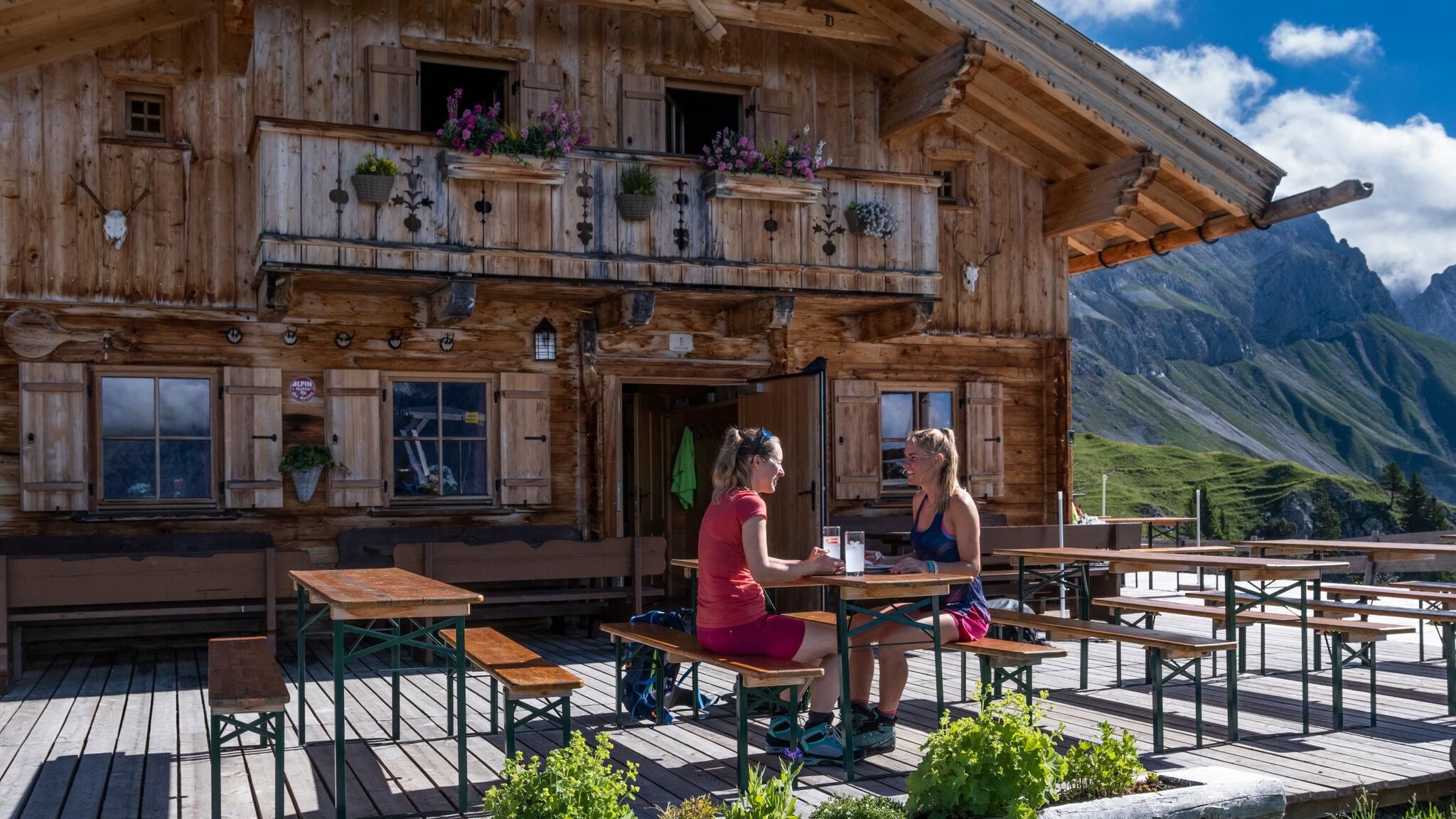
 Mountain hut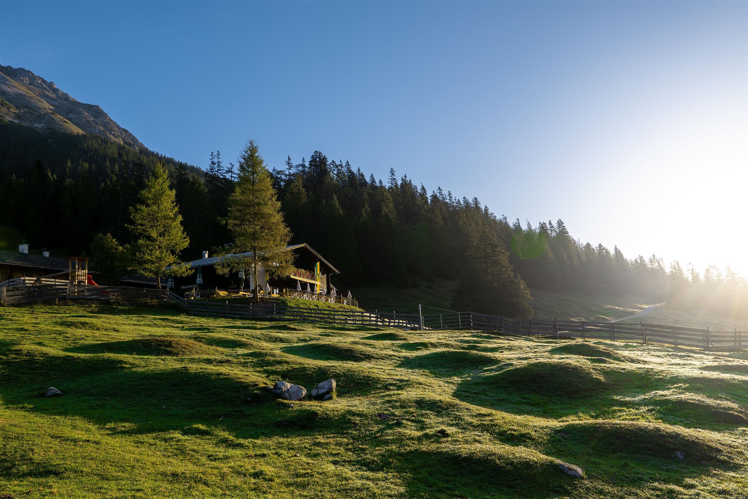
 Historic site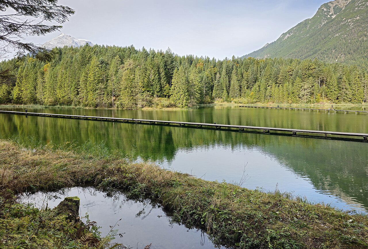
 Cable car



Curated by Region Seefeld
Leutasch
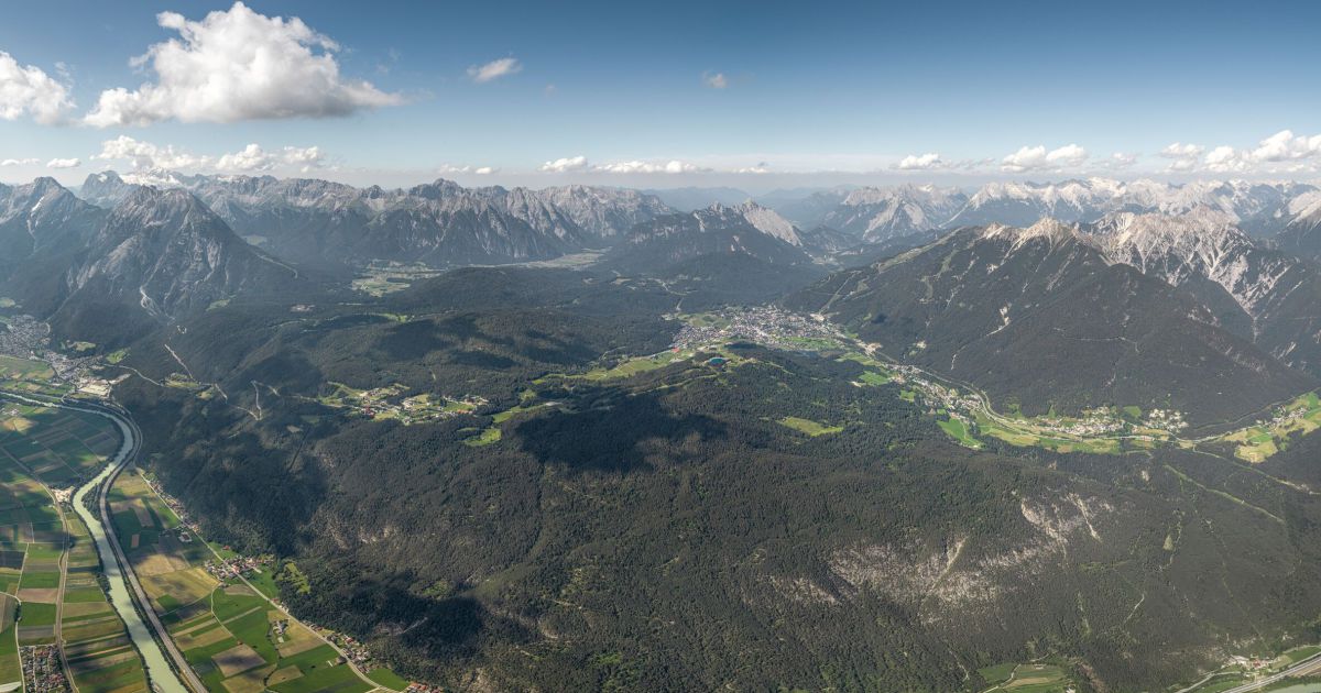
A long valley of two dozen hamlets on the Seefeld plateau at about 1130 m, between Wetterstein and Karwendel, laced with cross-country trails and the Geisterklamm gorge.
- 39Highlights
- 114Routes
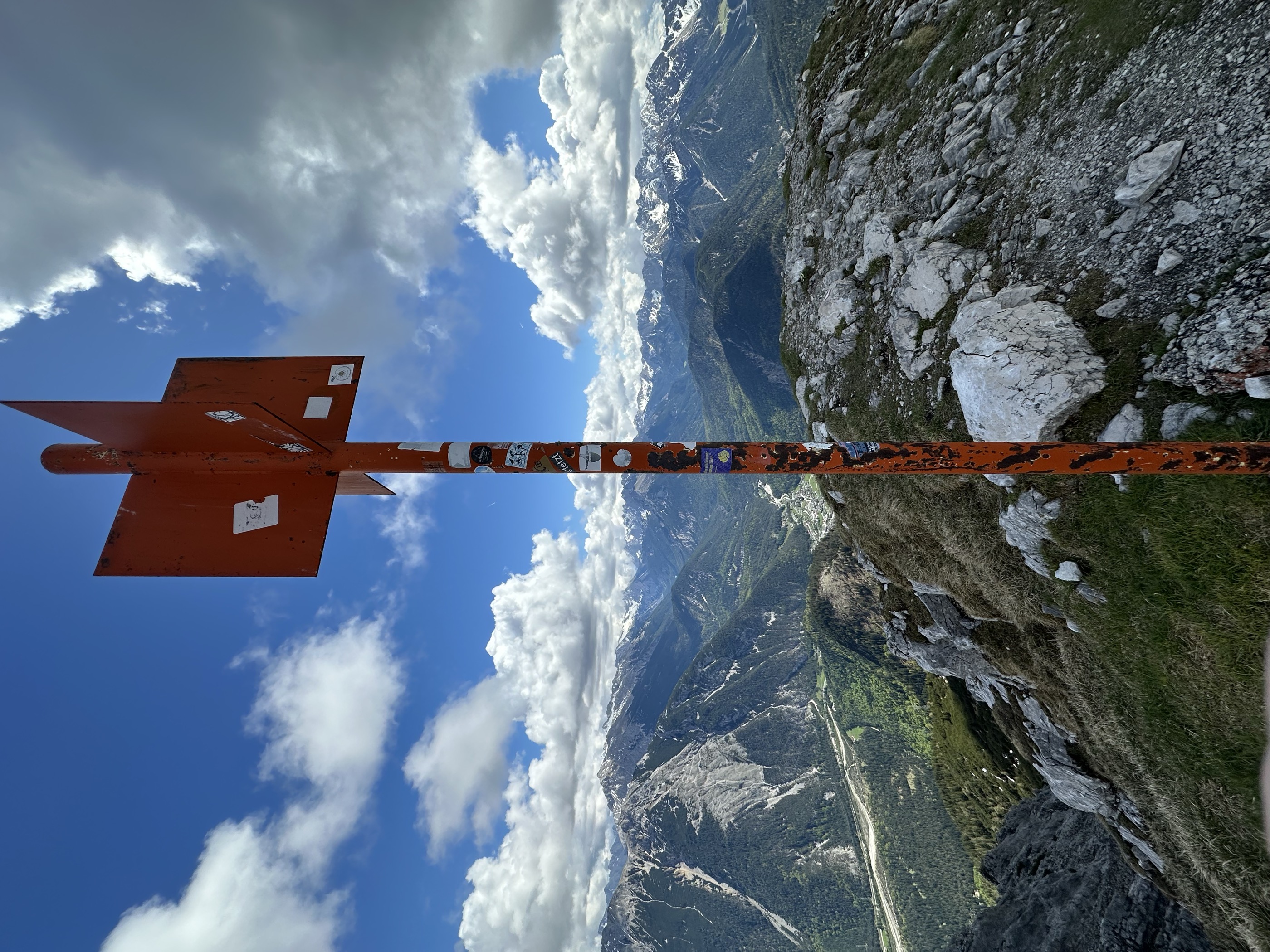
- Featured summit · Große Arnspitze
Highlights
The 20 highest-rated · see the rest on seefeld.com ↗
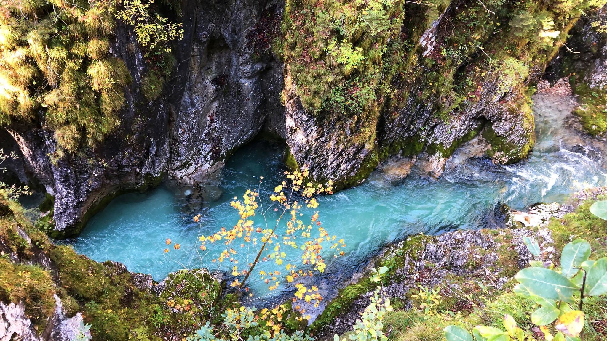
Leutascher Geisterklamm
A gorge of the Leutascher Ache between Leutasch and Mittenwald, walked on steel walkways bolted above the water and themed around a gorge spirit.
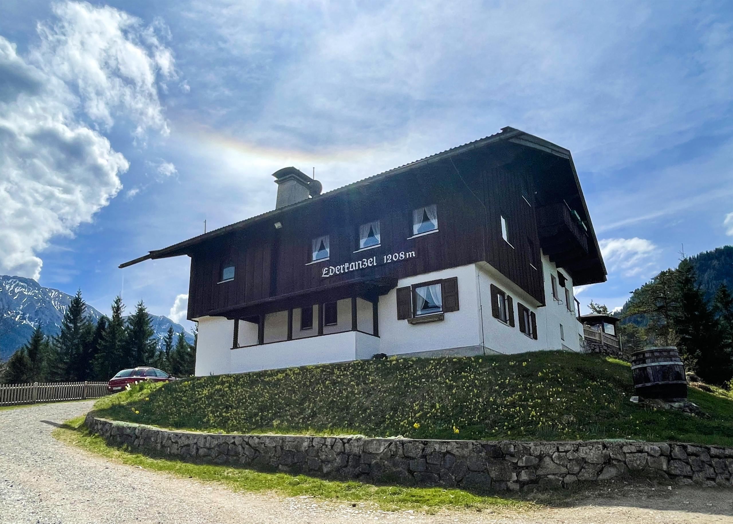
Ederkanzel
A panoramic inn on the Ederkanzel above the Leutasch and Isar valleys near Mittenwald, open in summer and winter.
Gaistalalm
An alm in the Gaistal above Leutasch along the Leutascher Ache, open in summer and winter and popular with cross-country skiers and walkers.
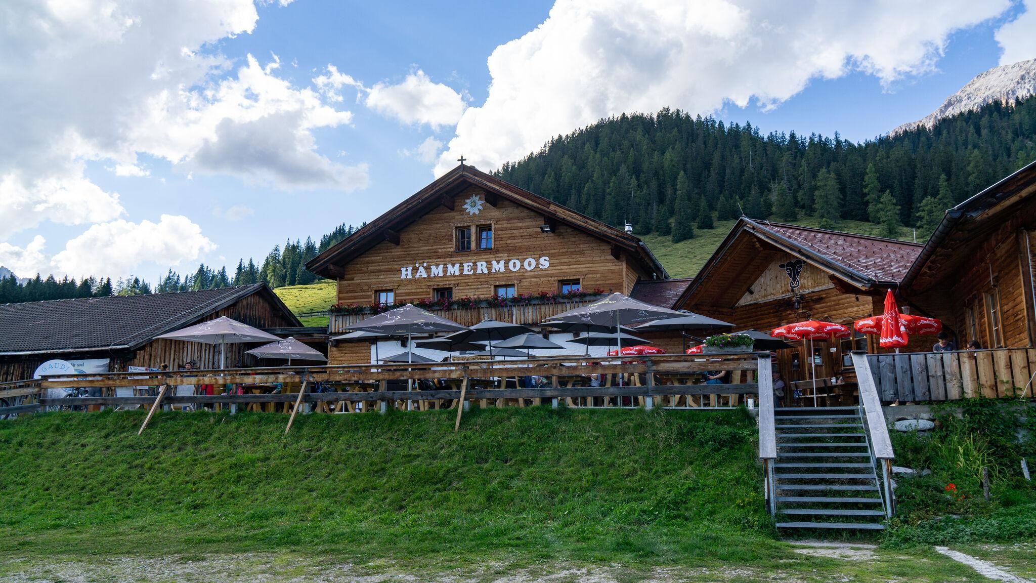
Hämmermoosalm
An alm in the Gaistal above Leutasch, serving food at the edge of moor meadows and reachable on the valley's forest tracks.
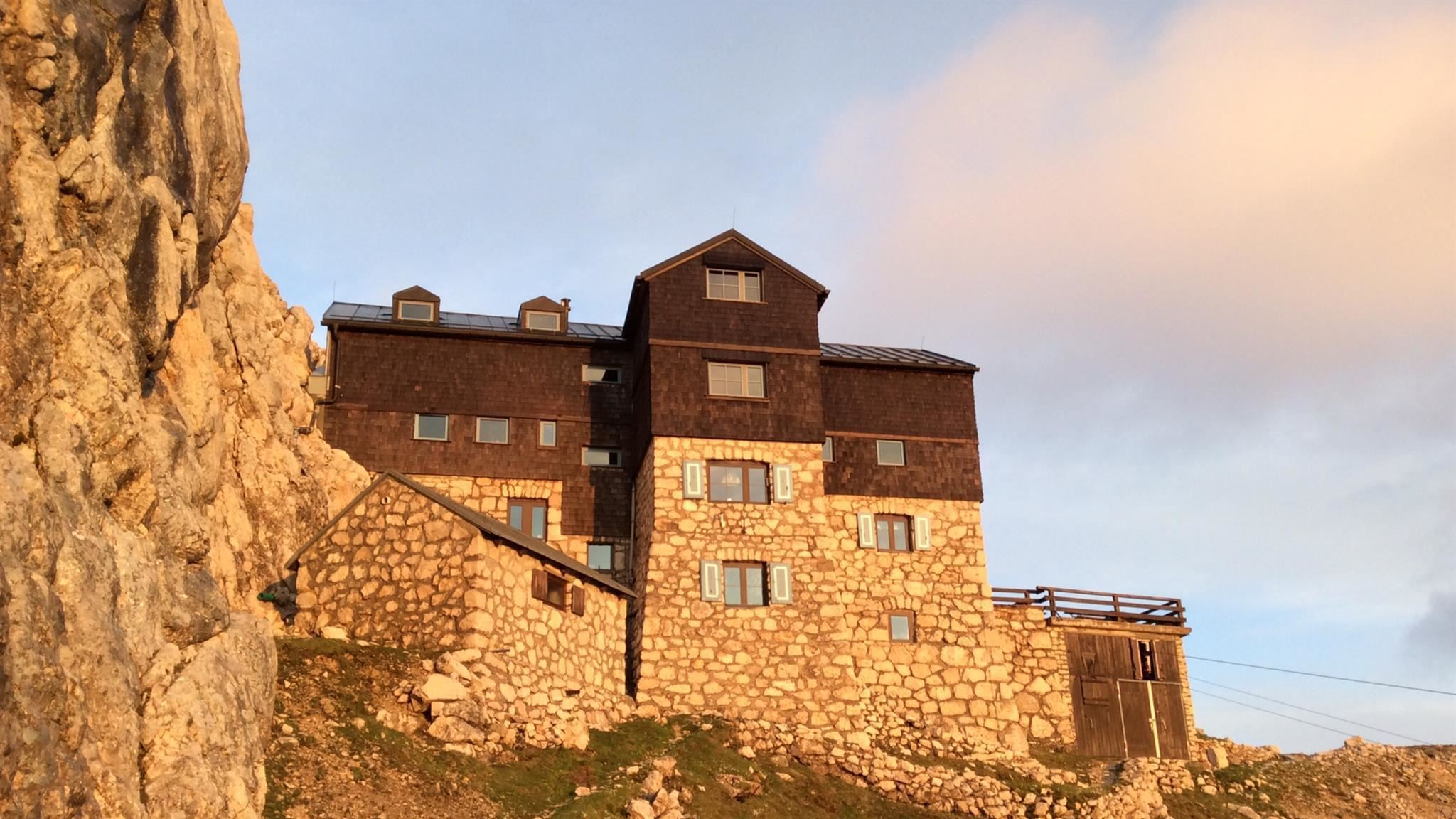
Meilerhütte
An Alpine Club hut at about 2,370 m on the Wetterstein ridge near the Dreitorspitze, high above Leutasch on the border with Bavaria.
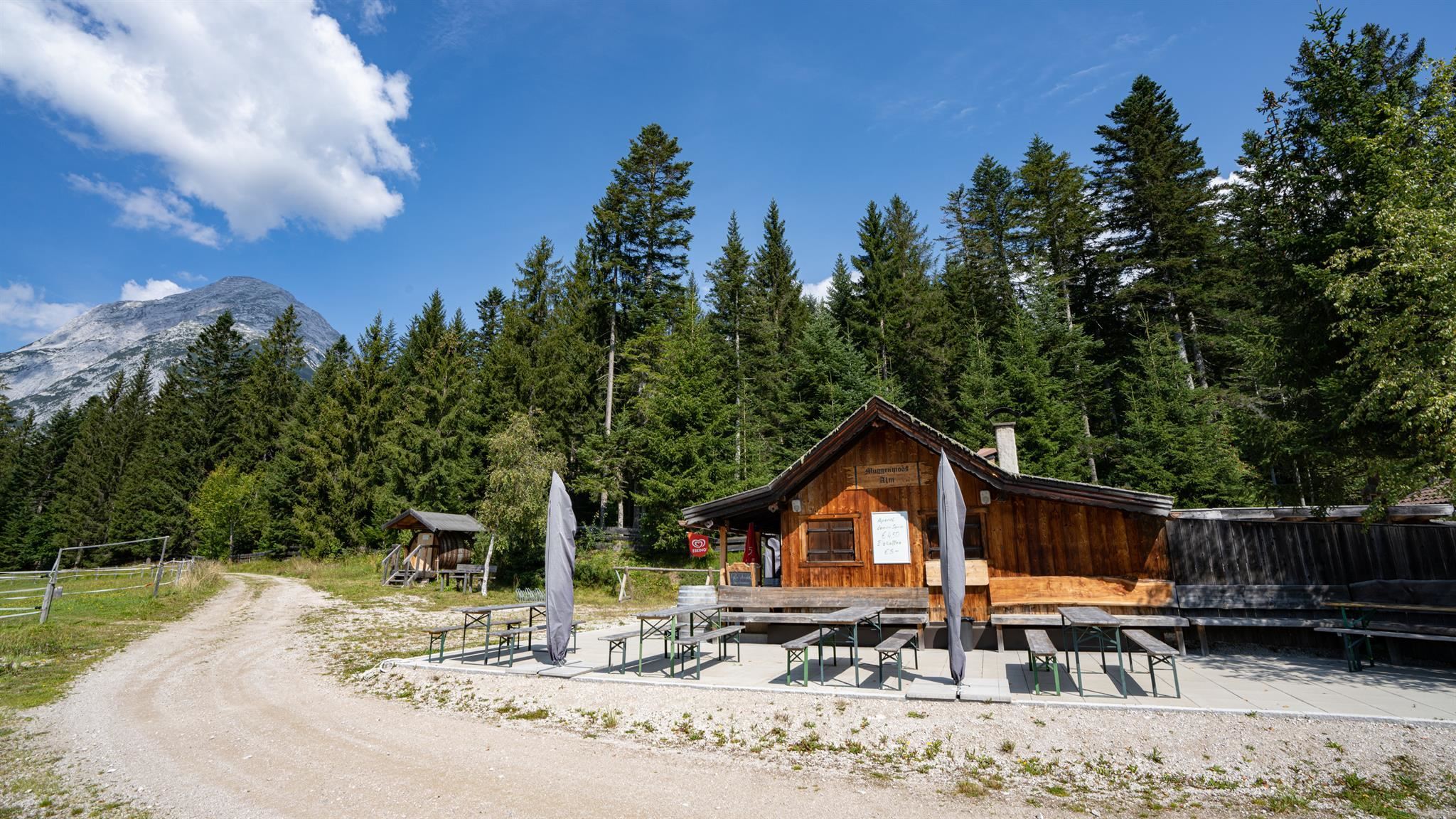
Muggenmoosalm
An alm in the forests between Leutasch and the Wildmoos area, open in summer and winter and easy to reach on foot or by e-bike.
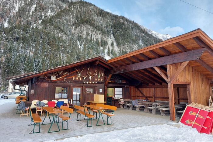
Poli's Hütte
A small hut restaurant on the floor of the Leutasch valley, serving snacks and regional dishes to walkers and cyclists.
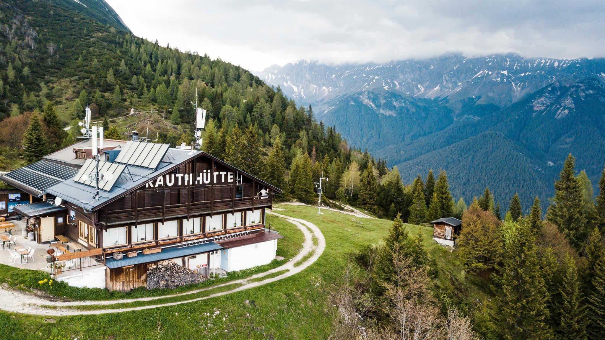
Rauthhütte
A hut above Leutasch at the foot of the Hohe Munde, a viewpoint over the valley basin open in both summer and winter.
Rotmoosalm
A high alm above the Gaistal near Leutasch, one of the loftier serviced pastures in the area, reached on long walking tracks.
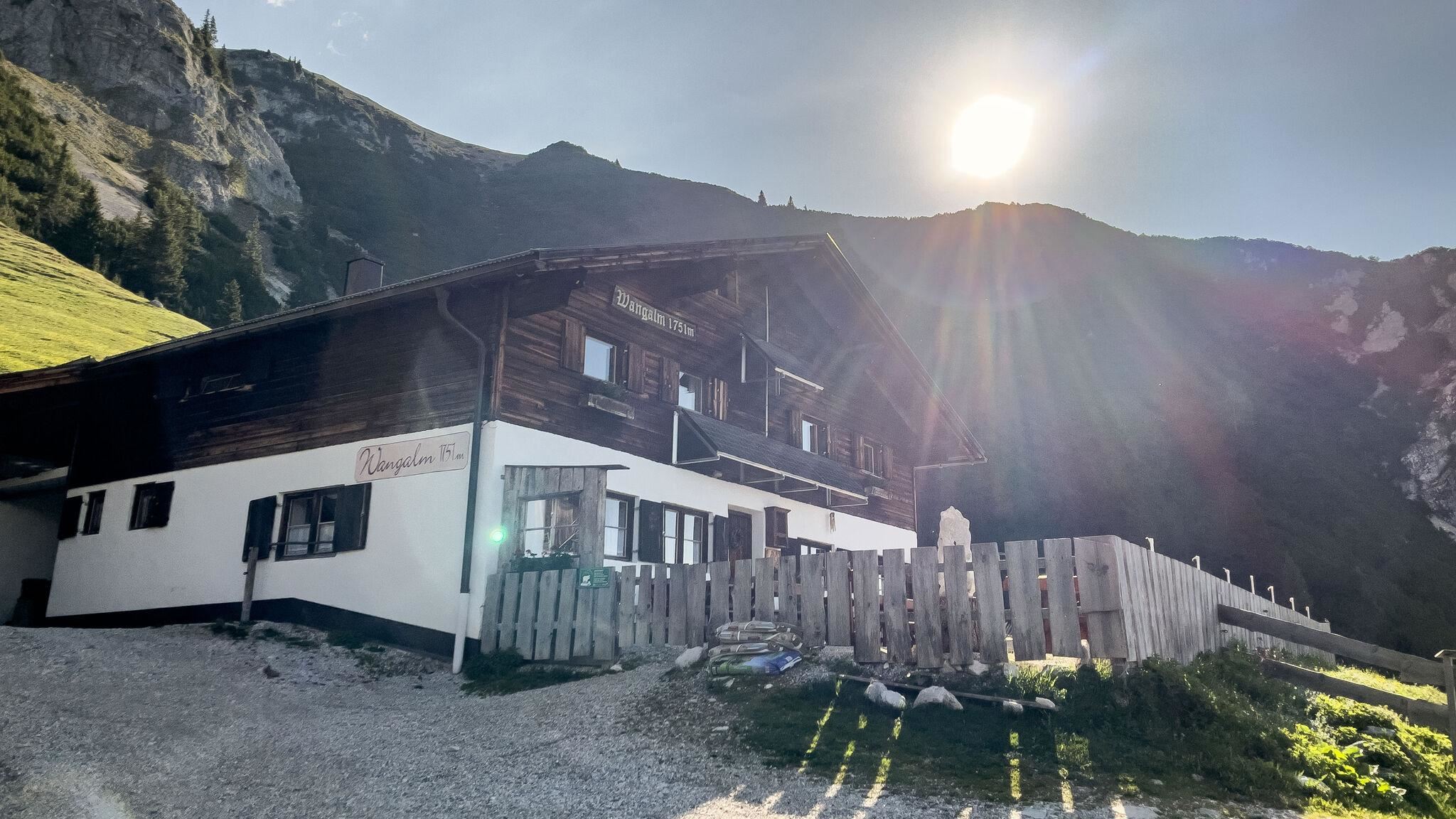
Wangalm
An alm below the Wetterstein walls above Leutasch, a serviced pasture hut reached from the Gaistal tracks.
Kapellen in Leutasch
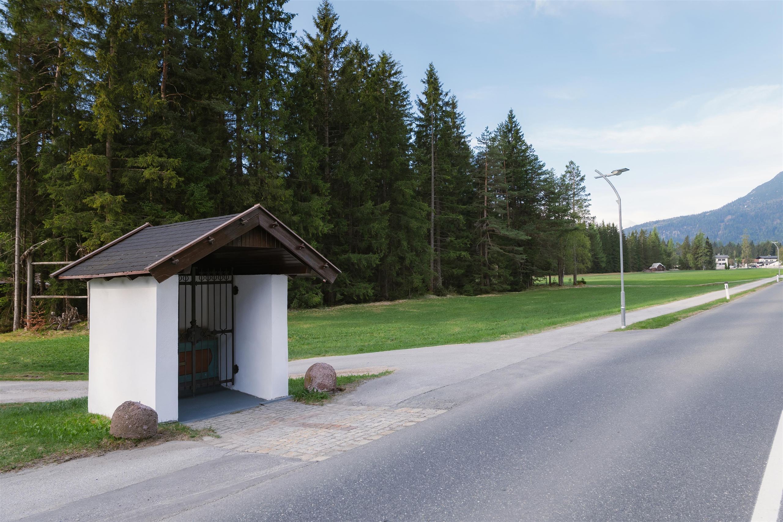
The small chapels scattered through the hamlets of the Leutasch valley, many of them built by local farming families over the centuries.
Weidachsee
A small lake at Weidach in the Leutasch valley, used for angling and set among meadows at about 1,100 m below the Wetterstein slopes.
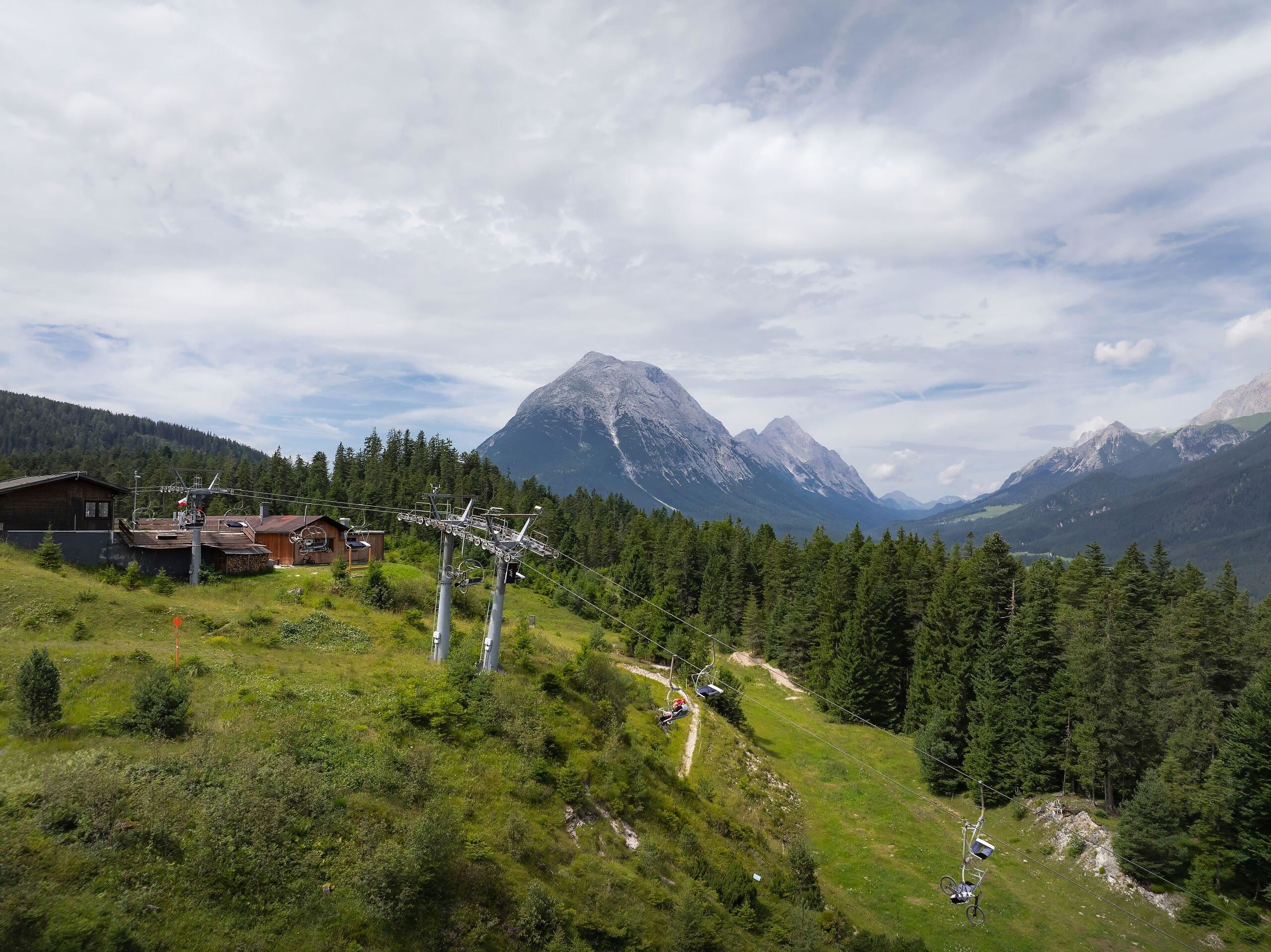
Katzenkopf Leutasch
The lift on the Katzenkopf at Leutasch, a small family ski hill that also offers toboggan rental in winter.
Klammkapelle oder Höllkapelle
A chapel above the Leutasch gorge, also called Höllkapelle, marking the old path near the Geisterklamm walkways.
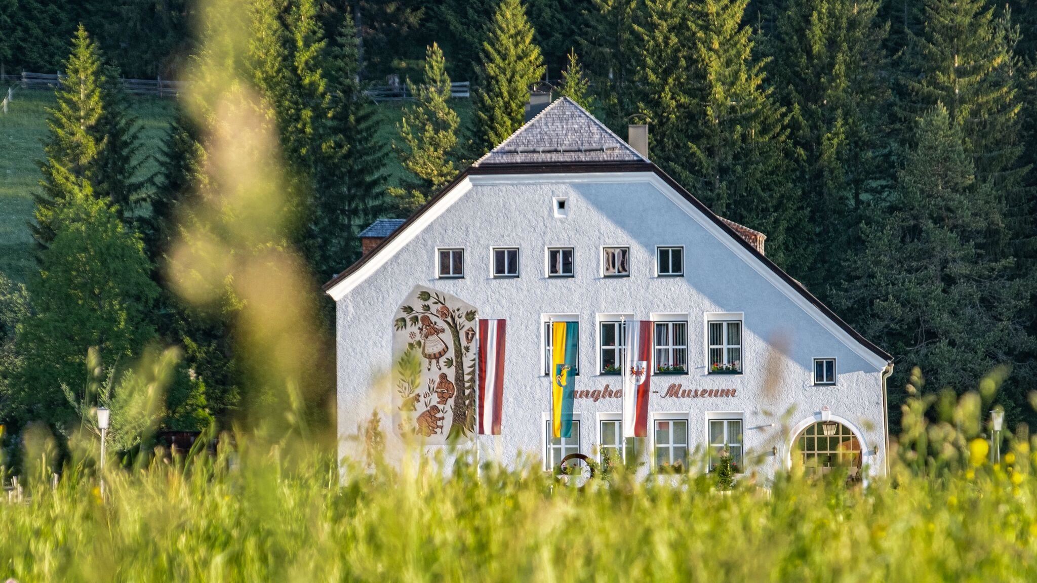
Kulturhaus Ganghofermuseum
A culture house in Leutasch with a museum on the writer Ludwig Ganghofer, who hunted and set novels in the nearby Gaistal.
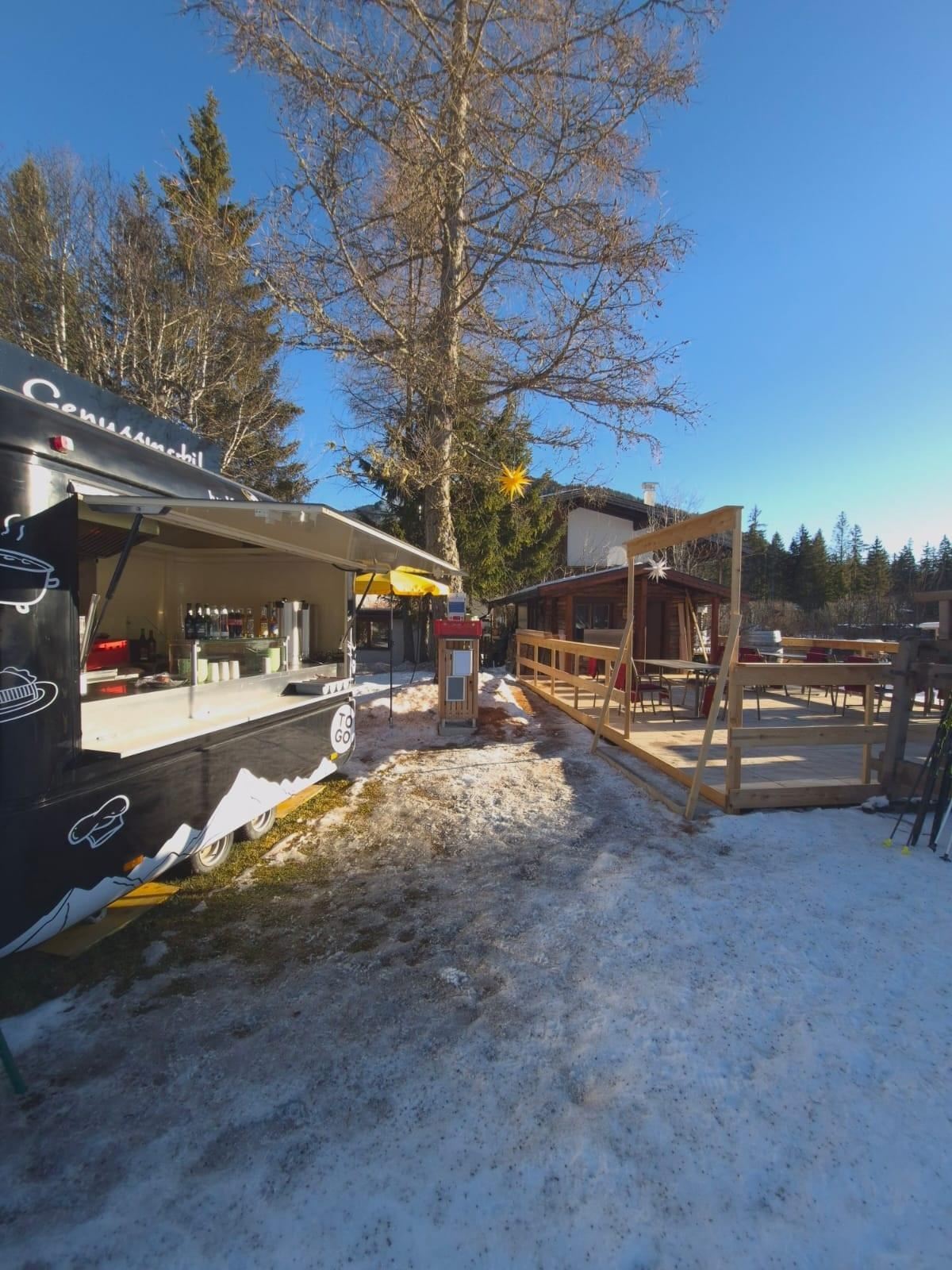
Genussmobil by Karwendel
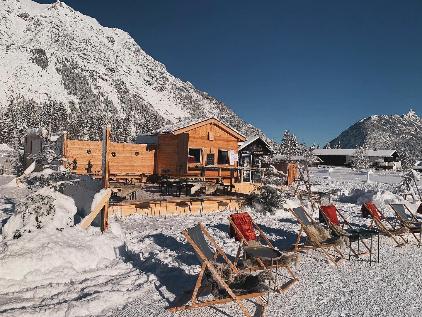
A mobile snack station set up along the Leutasch cross-country trails in winter, selling warm drinks and small dishes.
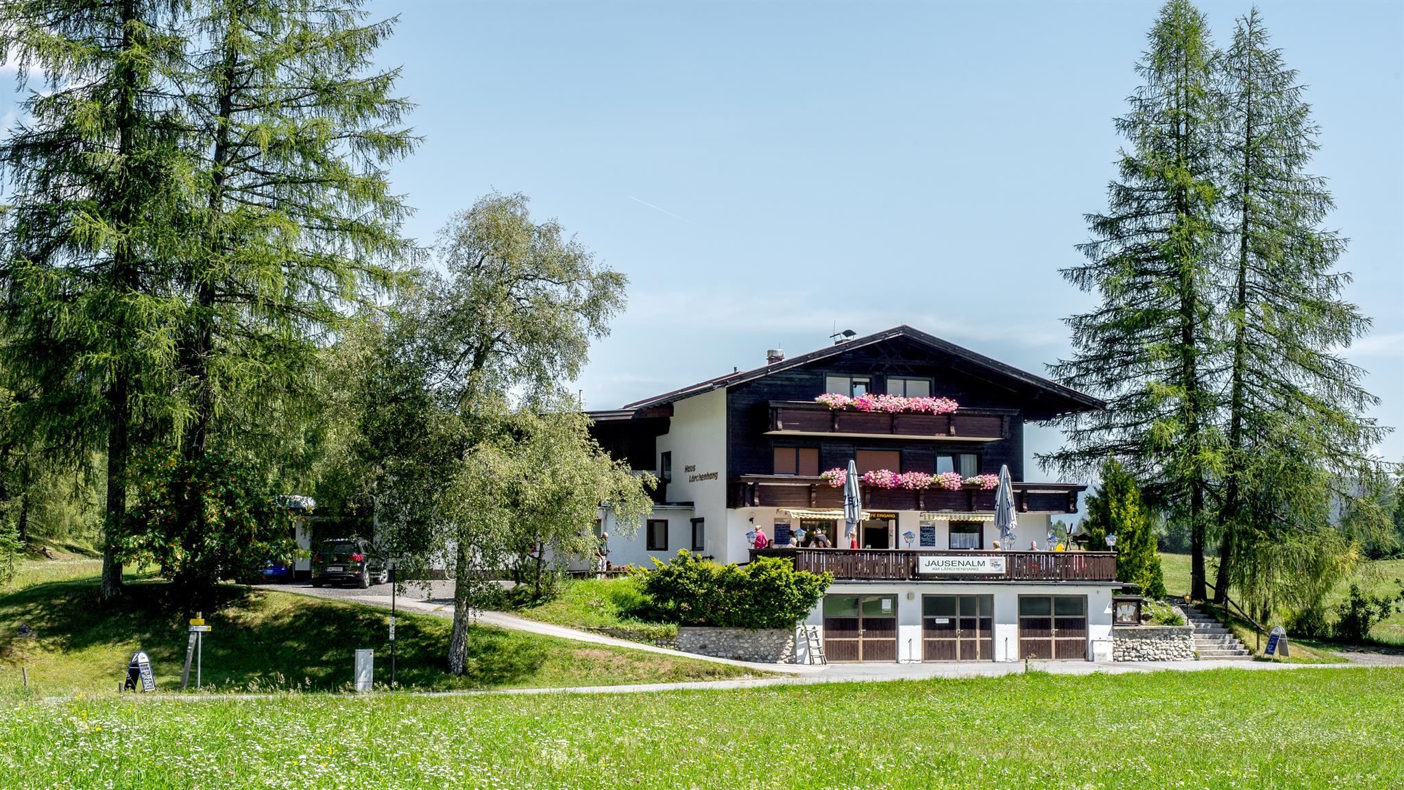
Jausenalm am Lärchenhang
A snack alm on the larch slope (Lärchenhang) above Leutasch, serving cold platters to walkers and winter guests.
Katzenkopfhütte
A hut on the Katzenkopf ski hill at Leutasch, serving the small slopes in winter and plateau walkers in summer.
j'auszeit, Loipenausschank
A trailside refreshment stand on the Leutasch cross-country network, serving skiers along the loipe in winter.
Antoniuskapelle
A chapel dedicated to St. Anthony in Leutasch, one of the many small chapels scattered through the valley's hamlets.
Nothing of this kind in Leutasch.
Routes
50 routes, an even mix of activities · see the rest on seefeld.com ↗
W11: Winterwanderung zur Hämmermoosalm
Family winter walk of 4 km up to the Hämmermoosalm, with a toboggan run for the way back down.
- 4.0 km
- Distance
- 169 m
- Ascent
- 1 h 21 min
- Duration
- 20
- Check-ins
Almen-Rundwanderung Gaistal
An 11 km round out of Leutasch taking in the Wettersteinhütte, Wangalm and Hämmermoosalm, with 565 m of climb and the Hohe Munde opposite.
- 11.0 km
- Distance
- 565 m
- Ascent
- 4 h 6 min
- Duration
- 45
- Check-ins
Adlerweg-Etappe 16: Leutasch – Ehrwald
Long 22.6 km stage down the Gaistal beside the Leutascher Ache towards the Zugspitze, ending at the Ehrwalder Alm; ibex and chamois are often about.
- 22.6 km
- Distance
- 555 m
- Ascent
- 6 h 47 min
- Duration
- 254
- Check-ins
Biketour Nr. 5047 Gaistal-Hämmermoosalm
A short forest-road climb from the valley floor above Leutasch up to the Hämmermoosalm at 1,417 m, with under 200 m of height to gain.
- 3.9 km
- Distance
- 175 m
- Ascent
- 30 min
- Duration
- 20
- Check-ins
Biketour Nr. 540 Wangalm
A steady forest-road climb from the Mauthaus up to the Wangalm and the Wetterstein Hütte under the Wetterstein walls.
- 13.7 km
- Distance
- 667 m
- Ascent
- 1 h 52 min
- Duration
- 31
- Check-ins
Biketour Wettersteinrunde
A full day circling the Wetterstein massif, taking in the Ehrwalder Alm and the Hochthörlehütte and the drop to under 800 m at the Lenz'n-Hütte.
- 78.3 km
- Distance
- 1 877 m
- Ascent
- 8 h 43 min
- Duration
- 280
- Check-ins
Biketour Zugspitz-8
A figure of eight right round the Zugspitze from Ehrwald, taking in the Ehrwalder Alm and the Garmisch ski stadium.
- 103.8 km
- Distance
- 2 311 m
- Ascent
- 11 h 23 min
- Duration
- 273
- Check-ins
Wanderung zur Hämmermoosalm
Easy 4 km walk from Leutasch on a broad, gently rising track to the Hämmermoosalm at 1,417 m.
- 4.0 km
- Distance
- 180 m
- Ascent
- 1 h 23 min
- Duration
- 20
- Check-ins
Gaistal Genussrunde: 3-Almen-Rundwanderung
A 10.7 km round on the Gaistal plateau linking the Hämmermoosalm, Gaistalalm and Tillfussalm, with only 260 m of climb and something to eat at each.
- 10.7 km
- Distance
- 263 m
- Ascent
- 3 h 10 min
- Duration
- 42
- Check-ins
Hochalmen Rundwanderung durch das Gaistal
Full-day 24.4 km circuit through the Gaistal calling at seven pastures, among them the Tillfussalm, Rotmoosalm and Wangalm, with 1,280 m of climb.
- 24.4 km
- Distance
- 1 279 m
- Ascent
- 9 h 13 min
- Duration
- 84
- Check-ins
Kitty Twister | Bikepark Katzenkopf Leutasch
An easy bike-park run from the top station down past the Kreithalm, one of the gentler lines on the hill above Leutasch.
- 1.9 km
- Distance
- 0 m
- Ascent
- 15 min
- Duration
- 17
- Check-ins
Biketour mit Kinderanhänger: Almenparadies Gaistal
A gentle valley track suitable for a child trailer, running from the Mauthaus up the Gaistal past the Ganghofer Haus to the Gaistalalm.
- 13.7 km
- Distance
- 234 m
- Ascent
- 1 h 26 min
- Duration
- 20
- Check-ins
Gravelbike Tour 4.5 - Rund um die Zugspitze
A full circuit of the Zugspitze massif from Ehrwald over the Ehrwalder Alm, across to Grainau and the Garmisch ski stadium.
- 79.7 km
- Distance
- 1 459 m
- Ascent
- 8 h 27 min
- Duration
- 264
- Check-ins
Gravelbike Tour 4.5 - Rund um die Zugspitze
A gravel circuit right around the Zugspitze from Ehrwald, shorter than the figure of eight and with less climbing.
- 79.7 km
- Distance
- 1 717 m
- Ascent
- 8 h 41 min
- Duration
- 264
- Check-ins
W16: Winterwanderung von Leutasch nach Seefeld
Winter link of 6.6 km between Leutasch and Seefeld, passing the Kreithalm and the Mahderkapelle with 164 m of climb.
- 6.6 km
- Distance
- 161 m
- Ascent
- 1 h 53 min
- Duration
- 12
- Check-ins
Rundwanderung Wildmoos-Hochmoos
A 13.9 km round from Leutasch through the Fludertal to the Wildmoosalm and on to the Hochmoos viewpoint, with 485 m of climb.
- 13.9 km
- Distance
- 486 m
- Ascent
- 4 h 28 min
- Duration
- 29
- Check-ins
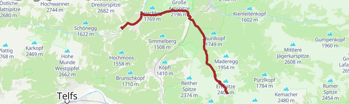
Etappe 1: Gehrenspitze – Big 3 Weitwanderung
First stage of the Big 3 route, 25 km and 1,560 m of climb from Leutasch through meadow and rock to the Gehrenspitze, with the Wangalm and Wettersteinhütte for a break.
- 25.0 km
- Distance
- 1 317 m
- Ascent
- 9 h 29 min
- Duration
- 79
- Check-ins
Green Pangea | Bikepark Katzenkopf Leutasch
A very short easy line at the top of the bike park by the Katzenkopf-Hütte, ridden straight back to the upper lift station.
- 599 m
- Distance
- 0 m
- Ascent
- 4 min
- Duration
- 11
- Check-ins
Biketour Nr. 541 Katzenkopf-Fluder
A short loop up the lift line to the Katzenkopf-Hütte, passing the Arnspitzblick viewpoint and the Kreithalm on the way.
- 9.6 km
- Distance
- 305 m
- Ascent
- 1 h 8 min
- Duration
- 17
- Check-ins
Gaistalrunde - Mieminger Kette Rundtour
A long loop right around the range over the Marienbergjoch, linking the Ehrwalder Alm, Gaistalalm, Marienbergalm and Tillfussalm on forest roads.
- 66.6 km
- Distance
- 2 310 m
- Ascent
- 8 h 5 min
- Duration
- 247
- Check-ins
Gravel Wettersteinrunde
A gravel circuit of the Wetterstein from Ehrwald, by the Ehrwalder Alm and the Hochthörlehütte.
- 78.3 km
- Distance
- 2 124 m
- Ascent
- 8 h 57 min
- Duration
- 263
- Check-ins
W20: Winterwanderung zur Katzenkopfhütte
Winter walk of 5.9 km through the snow up the Leutascher Katzenkopf to its hut, 250 m of climb.
- 5.9 km
- Distance
- 248 m
- Ascent
- 1 h 60 min
- Duration
- 11
- Check-ins
Wanderung zur Wangalm
An 8.2 km walk from Leutasch into the Gaistal to the Wangalm, 555 m of climb with the Wetterstein walls opposite.
- 8.2 km
- Distance
- 554 m
- Ascent
- 3 h 43 min
- Duration
- 25
- Check-ins
Wanderung zur Gehrenspitze, 2.367 m
Demanding 23.2 km ascent from Leutasch through the quiet Puittal to the 2,367 m Gehrenspitze, with 1,360 m of climb.
- 23.2 km
- Distance
- 1 366 m
- Ascent
- 9 h 31 min
- Duration
- 52
- Check-ins
Gravel Pit Pumptrack & Übungsgelände | Bikepark Katzenkopf Leutasch
A pump track and practice area at the foot of the Katzenkopf lift in Leutasch.
- 365 m
- Distance
- 0 m
- Ascent
- 2 min
- Duration
Biketour Gaistalalm
An easy forest-road spin up the broad valley from Leutasch to the alm at 1,369 m, with barely any climbing to speak of.
- 8.1 km
- Distance
- 160 m
- Ascent
- 52 min
- Duration
- 13
- Check-ins
Bike Trail Tirol Etappe 06: Ehrwald-Scharnitz
A long stage of the Tirol traverse, running from Ehrwald over the Ehrwalder Alm and past the Weidachsee towards Scharnitz.
- 39.8 km
- Distance
- 899 m
- Ascent
- 4 h 23 min
- Duration
- 176
- Check-ins
Bike & Hike Seebensee & Drachensee
A ride up through the woods to the Seeben Alm, where the bike is left for the walk on to the Coburger Hütte and the two lakes above it.
- 31.0 km
- Distance
- 1 022 m
- Ascent
- 3 h 43 min
- Duration
- 101
- Check-ins
Wanderung zur Katzenkopfhütte
Easy 5.9 km walk from Leutasch up to the Katzenkopfhütte at 1,360 m, looking down the Leutaschtal.
- 5.9 km
- Distance
- 248 m
- Ascent
- 1 h 60 min
- Duration
- 11
- Check-ins
Etappe 4: Von Weidach durch das Fludertal und über Wildmoos nach Seefeld – Seefelder Hochplateau Winterweitwanderung
Winter stage of 7.9 km from Weidach through the Fludertal and the Wildmoos nature reserve to Seefeld, with 230 m of climb.
- 7.9 km
- Distance
- 230 m
- Ascent
- 2 h 23 min
- Duration
- 23
- Check-ins
Etappe 2: Hohe Munde – Big 3 Weitwanderung
Second Big 3 stage: 1,720 m of climb from shaded forest through pine scrub to both tops of the Hohe Munde, with the Gaistal huts on the way.
- 21.0 km
- Distance
- 1 717 m
- Ascent
- 11 h 1 min
- Duration
- 45
- Check-ins
Bike-Verbindung Nr. 5052 Seefeld-Leutasch
A track link from Seefeld over into the Leutasch valley, passing the Kreithalm and the Mahderkapelle above the Katzenkopflift.
- 14.9 km
- Distance
- 276 m
- Ascent
- 1 h 35 min
- Duration
- 12
- Check-ins
Bike & Hike Seebensee & Drachensee
A forest-road ride over to the Seeben Alm, with the walk up to the two lakes and the Coburger Hütte where the track ends.
- 31.0 km
- Distance
- 822 m
- Ascent
- 3 h 31 min
- Duration
- 143
- Check-ins
Bike & Hike Gehrenspitze, 2.367 m
A ride up the Gaistal to the Wangalm and the Wetterstein Hütte, where the bike is left for the walk on to the Scharnitzjoch and the peak above.
- 21.1 km
- Distance
- 1 425 m
- Ascent
- 3 h 38 min
- Duration
- 58
- Check-ins
Große Klammrunde durch die Leutascher Geisterklamm mit Themenweg
Short 3.2 km circuit on walkways through the Leutascher Geisterklamm, with a themed trail about the gorge spirit and a panorama bridge over the ravine.
- 3.2 km
- Distance
- 128 m
- Ascent
- 1 h 4 min
- Duration
- 9
- Check-ins
Rundwanderung über den Franzosensteig zum Grünkopf und zur Ederkanzel
A 7.2 km round from Leutasch up the historic Franzosensteig to the Grünkopf, returning by the Berggasthaus Ederkanzel, with 600 m of climb.
- 7.2 km
- Distance
- 603 m
- Ascent
- 3 h 51 min
- Duration
- 22
- Check-ins
Wanderung zur Meilerhütte
Demanding 18.7 km ascent from Leutasch with 1,425 m of climb by the Dreitorspitzgatterl to the Meilerhütte at 2,366 m.
- 18.7 km
- Distance
- 1 423 m
- Ascent
- 9 h 17 min
- Duration
- 31
- Check-ins
Biketour Nr. 5070 Neuleutasch-Wildmoos
A short ride from Neuleutasch up to the Wildmoosalm at 1,317 m on forest track.
- 7.6 km
- Distance
- 129 m
- Ascent
- 48 min
- Duration
- 12
- Check-ins
Bike & Hike Gehrenspitze, 2.367 m
Combined ride and climb to the 2,367 m Gehrenspitze, 21.1 km with 1,150 m of ascent through shaded forest and past the Wangalm.
- 21.1 km
- Distance
- 1 202 m
- Ascent
- 3 h 12 min
- Duration
- 58
- Check-ins
Gravel Hinterautal
A gravel loop from Scharnitz along the Hinterautal to the Kastenalm, returning over the Seefeld plateau at around 1,180 m.
- 53.3 km
- Distance
- 1 070 m
- Ascent
- 5 h 44 min
- Duration
- 46
- Check-ins
Wanderung durch die Leutascher Geisterklamm und zum Wasserfallsteig
Walk through the Leutascher Geisterklamm gorge extended to the Wasserfallsteig above the lower falls — secured walkways, spray and a return along the rim.
- 7.8 km
- Distance
- 269 m
- Ascent
- 2 h 30 min
- Duration
- 9
- Check-ins
Wanderung zur Gaistalalm & Tillfussalm
Easy-angled 9.7 km walk from Leutasch into the Gaistal to the Gaistalalm and Tillfussalm, passing the Hubertus hunting lodge.
- 9.7 km
- Distance
- 230 m
- Ascent
- 2 h 51 min
- Duration
- 22
- Check-ins
Etappe 2: Von Leutasch nach Mösern – 1. Winterweitwanderweg Tirols
Winter stage of 16.9 km from Leutasch over the Fludertal and Wildmoos to the Wildmoosalm, then on to Mösern past the Möserer See and the alpine peace bell.
- 16.9 km
- Distance
- 422 m
- Ascent
- 4 h 54 min
- Duration
- 30
- Check-ins
Bikeroute Nr. 5080 Rauthhütte
A steep short climb from the Leutasch valley by the Mundestadl to the Rauthhütte at 1,600 m.
- 5.1 km
- Distance
- 418 m
- Ascent
- 1 h 1 min
- Duration
- 10
- Check-ins
Gravel Hinterautal
A long gravel run from Seefeld down to Scharnitz and up the Isar valley to the Kastenalm at 1,222 m, deep in the Karwendel.
- 53.3 km
- Distance
- 588 m
- Ascent
- 5 h 17 min
- Duration
- 46
- Check-ins
Innsbruck - Mösern - Seefeld
A long road day from the Inn valley onto the plateau at Mösern, continuing through the Leutasch past the Seewaldalm and the Kreithalm.
- 88.7 km
- Distance
- 1 388 m
- Ascent
- 9 h 11 min
- Duration
- 34
- Check-ins
Rolli-Rundwanderung Kirchplatzl – Achweg
Level 1.8 km circuit along the Achweg at Leutasch, surfaced and suitable for wheelchairs.
- 1.8 km
- Distance
- 10 m
- Ascent
- 27 min
- Duration
- 7
- Check-ins
Aussichtsplattform Brunschkopf über Wildmoosalm von Leutasch
A 12.7 km walk from Leutasch through the Fludertal and past the Wildmoosalm to the viewing platform on the Brunschkopf, 450 m of climb.
- 12.7 km
- Distance
- 449 m
- Ascent
- 4 h 6 min
- Duration
- 18
- Check-ins
Adlerweg-Etappe 15: Solsteinhaus – Leutasch
Adlerweg stage crossing the Eppzirler Scharte from the Solsteinhaus into the Leutasch valley, dropping past the Eppzirler Alm and over the Hoher Sattel to the scattered hamlets of Leutasch.
- 20.0 km
- Distance
- 841 m
- Ascent
- 7 h 45 min
- Duration
- 29
- Check-ins
Biketour Tillfussalm
An easy run up the Gaistal from Leutasch to the Tillfussalm, passing the Ganghofer Haus.
- 10.4 km
- Distance
- 189 m
- Ascent
- 1 h 6 min
- Duration
- 9
- Check-ins
No routes of this kind in Leutasch yet.
The region's own picks

Featured route
W11: Winterwanderung zur Hämmermoosalm
Family winter walk of 4 km up to the Hämmermoosalm, with a toboggan run for the way back down.
Planning a trip to Leutasch?
Everything else Tyrol has, in one place


Take Leutasch with you into the mountains
Every route on this page with 3D terrain, GPX navigation and offline maps — including the valleys with no signal.
Data sources
- Official website: seefeld.com ↗
- Routes and highlights: Region Seefeld, Innsbruck Tourismus, Lechtal Tourismus, Naturparkregion Reutte
- Published as open data by the tourist boards named above.
- Region summary generated from the board's own material.
