
Curated by Osttirol Tourismus
Lesachtal
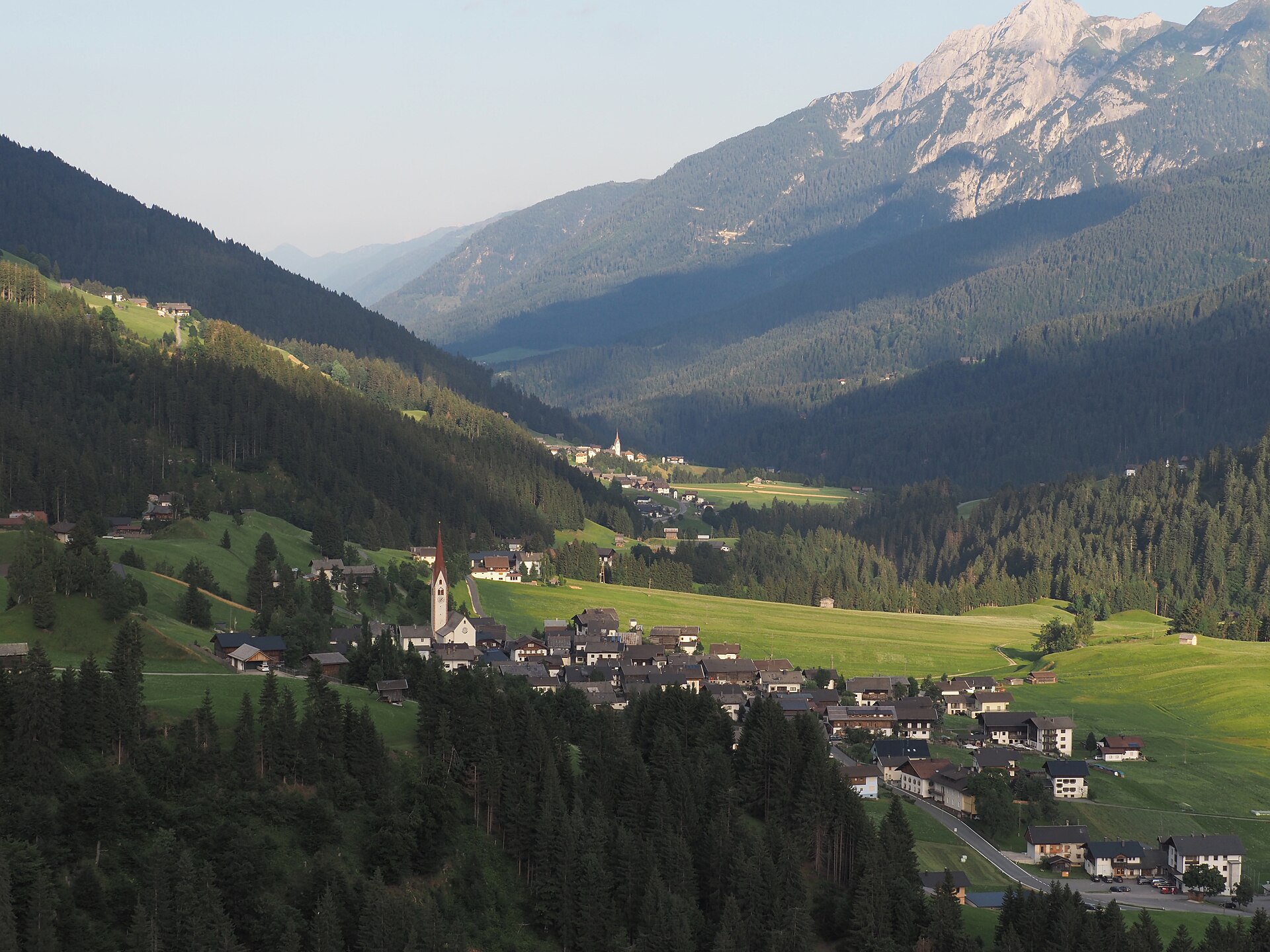
Among the least developed valleys of the Alps, terraced high between the Carnic ridge and the Lienzer Dolomiten, with the pilgrimage basilica of Maria Luggau at its western end.
- 3Highlights
- 2Routes
Highlights
8 from neighbouring places
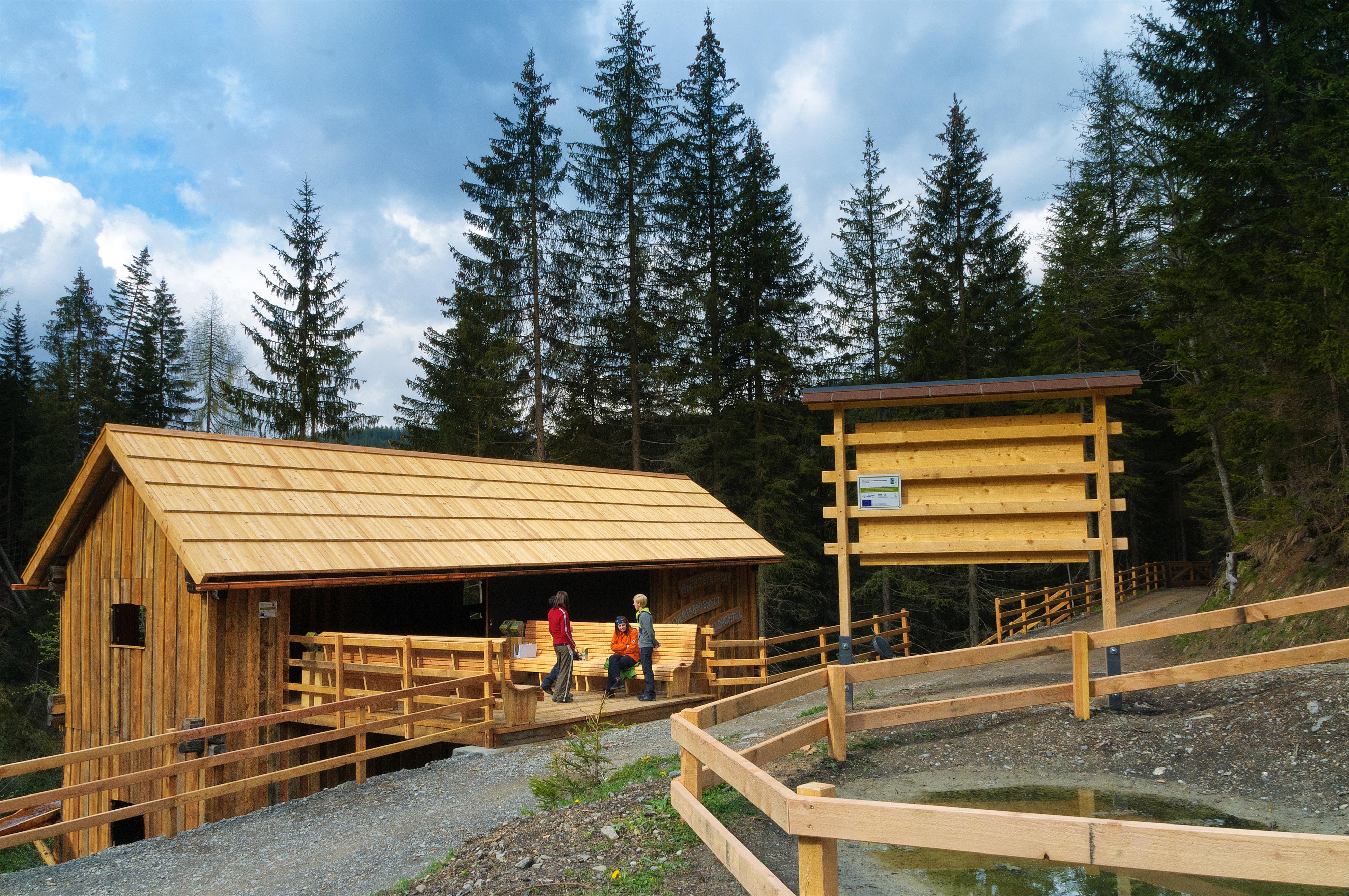
Abenteuer- und Walderlebniswelt Lesachtal
A forest adventure world in the Lesachtal, with climbing and play stations among the trees.
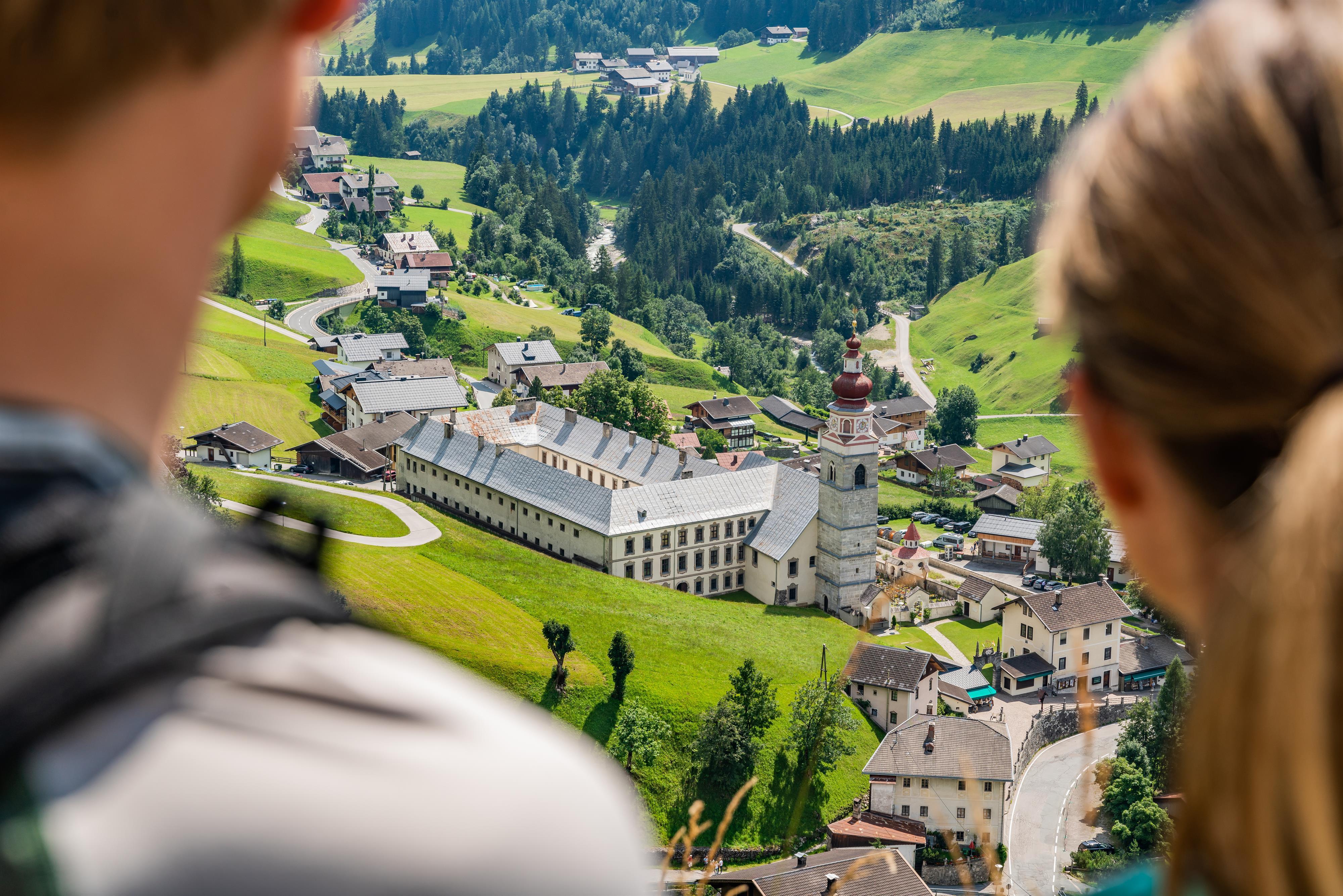
Basilika Maria Luggau
A pilgrimage basilica at Maria Luggau in the Lesachtal, visited by thousands of pilgrims each year.
Seekofel
10.2 km away, in Tristach
A multi-pitch climbing peak in the Lienz Dolomites above the Tristacher See, with routes on its limestone walls.
Lienzer Klause
13.6 km away, in Leisach
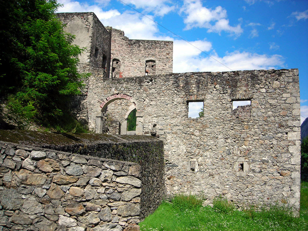
A historic barrier fortification at Leisach south of Lienz, built to control the narrow passage of the Drau valley toward the Pustertal.
Oberforcher Michael-Almhütte
14.2 km away, in Leisach
An alm hut of the Oberforcher farm above Leisach, on the wooded slopes at the southwestern edge of the Lienz basin.
Bergsport Südalpen
14.7 km away, in Kötschach-Mauthen
A mountain-sport guiding outfit in the Villach region of Carinthia, offering climbing, via ferrata tours and snowshoe walks in the southern Alps near Finkenstein.
Bergbahnen Kötschach-Mauthen
14.9 km away, in Kötschach-Mauthen
The lifts above Kötschach-Mauthen in the upper Gailtal.
Schloss Lengberg
14.2 km away, in Nikolsdorf
A medieval hilltop castle at Nikolsdorf in the Drau valley, known for excavations that uncovered rare 15th-century textiles.
Kindermeile im Familienwandergebiet Golzentipp
14.3 km away, in Obertilliach
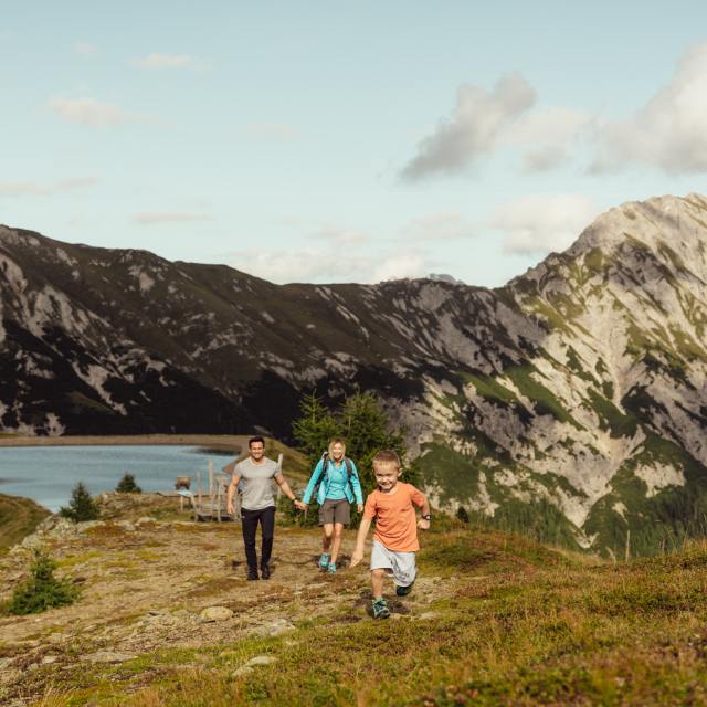
A children's trail in the Golzentipp family walking area above Obertilliach, with play stations strung along an easy lift-served route.
Obertilliacher Bergbahnen
14.3 km away, in Obertilliach
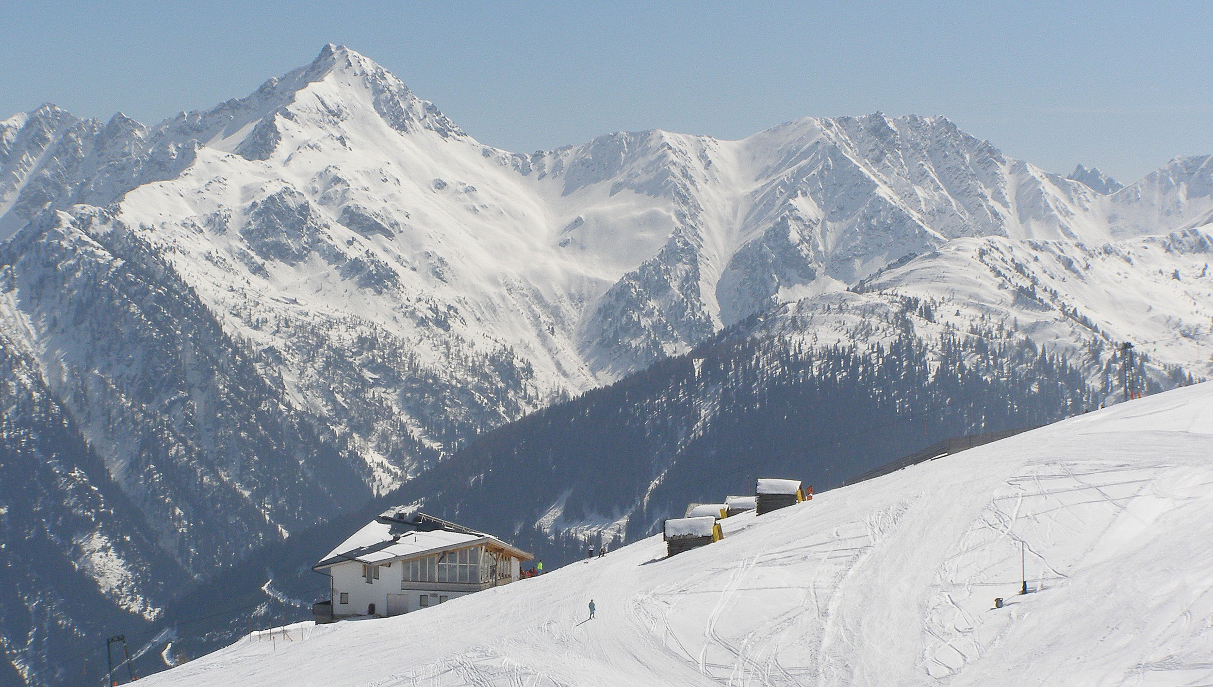
The village lifts of Obertilliach at 1,459 m, rising to the Golzentipp ski and family walking area above the Tiroler Gailtal.
 Historic site
 Mountain hut
 Via ferrata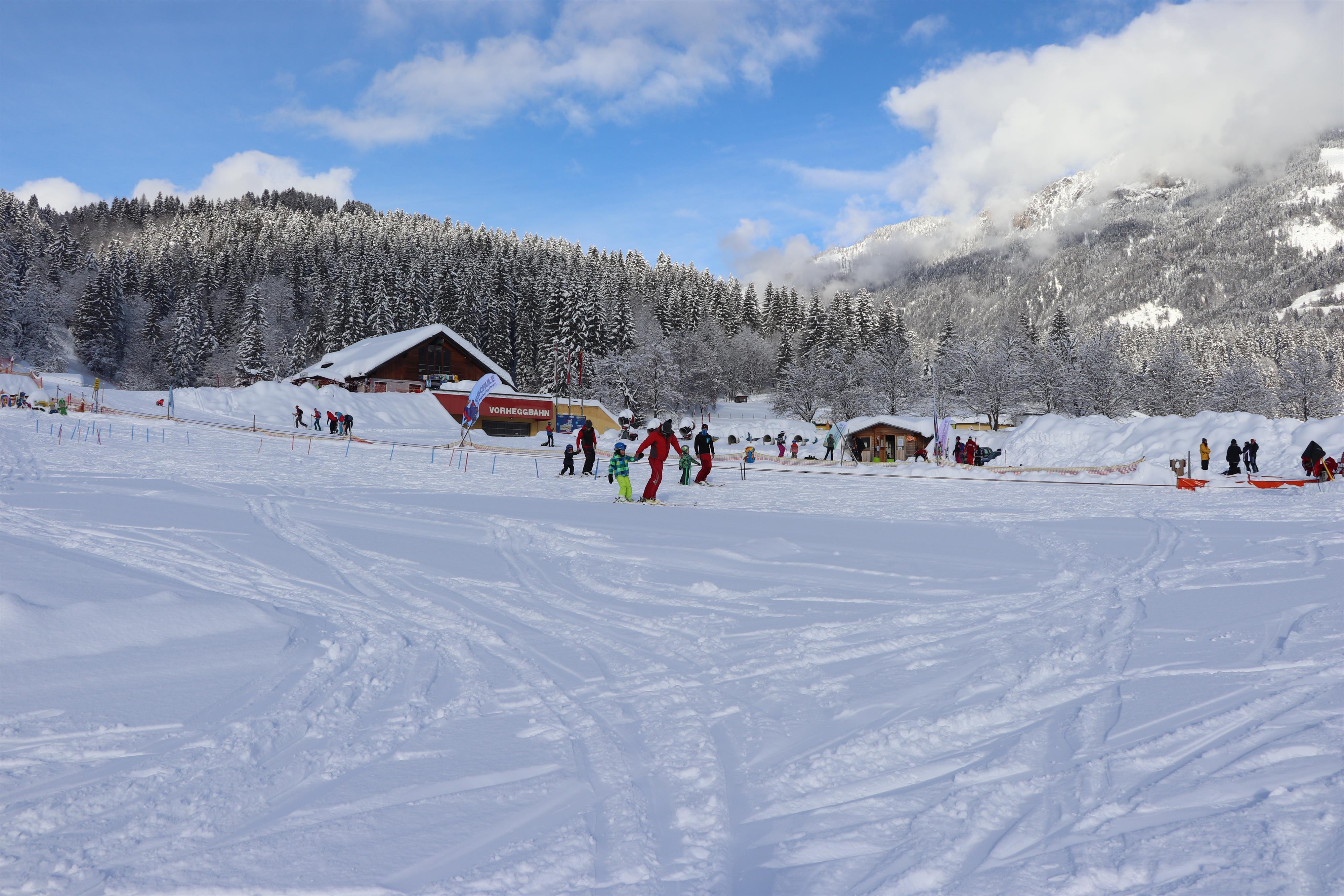
 Cable car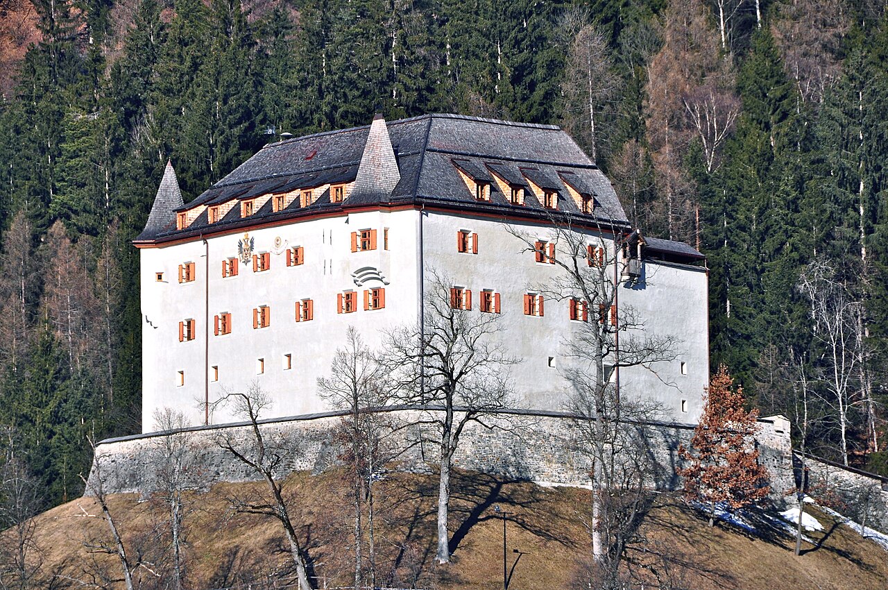
Nothing of this kind in Lesachtal.
Routes
18 from neighbouring places
Grenzlandwanderweg
Long, mostly gentle traverse through the border country of the upper Gail valley, starting in Kartitsch and passing the Refugium Tilliach on nearly 16 km of meadow and forest paths.
- 22.8 km
- Distance
- 450 m
- Ascent
- 6 h 27 min
- Duration
Dolomitenradrundfahrt
A long road circuit from the Drau valley over the Gailbergsattel and the Kartitscher Sattel, returning through the Lesachtal and Kötschach-Mauthen.
- 109.7 km
- Distance
- 2 481 m
- Ascent
- 12 h 5 min
- Duration
- 12
- Check-ins
Kircher Alm
9.1 km away, in Untertilliach
From Untertilliach the track climbs past the game-feeding station to high pastures on the Kircher Berg — a quiet 900 m day above the Gail valley.
- 11.5 km
- Distance
- 896 m
- Ascent
- 5 h 49 min
- Duration
Skitour Grubenspitze 2.671m
9.7 km away, in Tristach
Committing Lienz Dolomites ski tour from the Kreithof, climbing past the Dolomitenhütte and Karlsbader Hütte to a 2,671 m rock summit — about 1,800 m of ascent.
- 10.5 km
- Distance
- 1 825 m
- Ascent
- 1 825 m
- Descent
- 6 h 3 min
- Duration
- 53
- Check-ins
Klettersteig Allmaier-Toni-Weg
9.9 km away, in Amlach
From the Klammbrücke the walk-in leads past the Kerschbaumeralm Schutzhaus to the Zochenpaß, where the wired route starts; climbers descend by the Hans-Falkner-Weg over the Weittalscharte.
- 7.2 km
- Distance
- 279 m
- Ascent
- 3 h 26 min
- Duration
- 2
- Check-ins
Madonnen Klettersteig
10.1 km away, in Amlach
Via ferrata up the Große Gamswiesenspitze in the Lienz Dolomites, entered from the Kerschbaumer Törl side; a summit Madonna gives the route its name.
- 13.6 km
- Distance
- 470 m
- Ascent
- 6 h 18 min
- Duration
- 57
- Check-ins
Karlsbaderhütte Nr. 154
11.5 km away, in Tristach
A long mountain-bike climb from Tristach past the Dolomitenhütte and the Instein-Alm up to 2,260 m in the Lienzer Dolomiten.
- 26.3 km
- Distance
- 1 701 m
- Ascent
- 4 h 23 min
- Duration
- 53
- Check-ins
Skitour Kreithof-Dolomitenhütte
12.1 km away, in Tristach
Short ski tour from the Kreithof car park above the Tristachersee up to the Dolomitenhütte, a steady forest climb beneath the rock walls of the Lienz Dolomites.
- 3.3 km
- Distance
- 564 m
- Ascent
- 564 m
- Descent
- 1 h 52 min
- Duration
- 26
- Check-ins
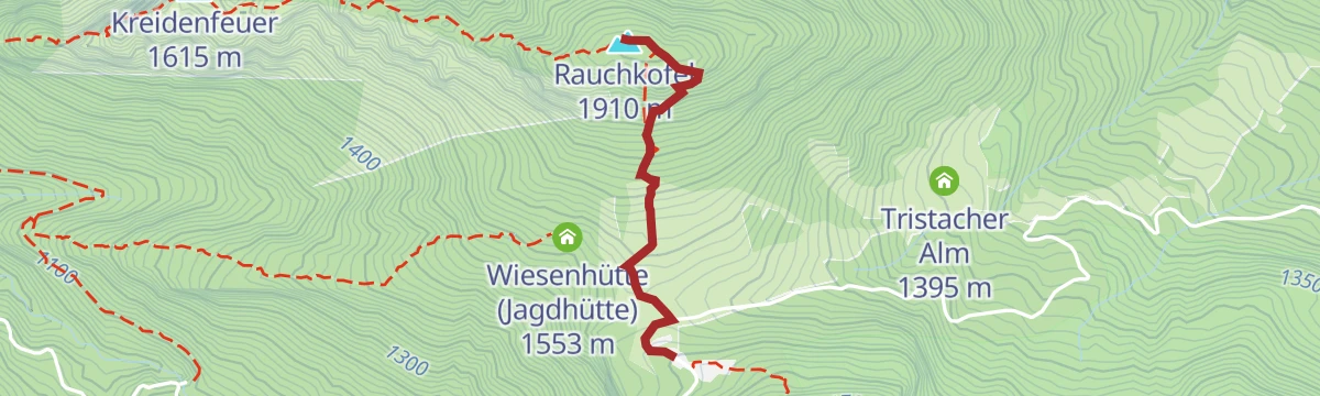
Rauchkofel
12.3 km away, in Tristach
Short summit outing from the Dolomitenhütte toll road — 350 m of climbing to a rocky viewpoint perched between the Lienz valley floor and the Dolomites' walls.
- 3.0 km
- Distance
- 350 m
- Ascent
- 2 h 6 min
- Duration
- 7
- Check-ins
Golzentipp Nr. 157
14.9 km away, in Obertilliach
A climb on ski-area tracks above Obertilliach to the Conny-Alm at 2,050 m and the Jochsee above it, topping out near Scheibe.
- 9.1 km
- Distance
- 867 m
- Ascent
- 2 h 3 min
- Duration
- 24
- Check-ins
Hochstadel über den Rudnigweg
9.9 km away, in Oberdrauburg
A steep marked route above the Drau valley that climbs by way of the Hochstadelhaus to a 2,681 m summit plateau at the eastern end of the Lienzer Dolomiten.
- 6.3 km
- Distance
- 919 m
- Ascent
- 5 h 19 min
- Duration
- 4
- Check-ins
E-Bike & Climb Roter Turm 2.702m
11.5 km away, in Tristach
An e-bike approach from the Drau valley up to the Dolomitenhütte and Karlsbader Hütte, the start for the climbing routes on the Lienzer Dolomiten.
- 30.2 km
- Distance
- 100 m
- Ascent
- 2 h 46 min
- Duration
- 55
- Check-ins
Dolomiten - Karlsbaderhütte über Normalweg
10.1 km away, in Tristach
The standard way in: from the Dolomitenhütte car park a broad track climbs into the Laserz cirque to the hut and its small lake beneath the climbing walls.
- 8.8 km
- Distance
- 724 m
- Ascent
- 4 h 38 min
- Duration
- 48
- Check-ins
Skitour Karlsbaderhütte - Ödkarscharte
10.2 km away, in Tristach
Ski route from the Kreithof past the Karlsbader Hütte and into the Ödkarscharte notch — a 1,600 m day deep in the rock scenery of the Lienz Dolomites.
- 8.0 km
- Distance
- 1 627 m
- Ascent
- 1 627 m
- Descent
- 5 h 14 min
- Duration
- 52
- Check-ins
Seekofel Klettersteig
10.2 km away, in Tristach
Short via ferrata onto the Seekofel above the Karlsbader Hütte in the Laserz cirque, entered from the Ödkarscharte past the memorial cross below the Teplitzer Spitze.
- 14.2 km
- Distance
- 148 m
- Ascent
- 5 h 33 min
- Duration
- 68
- Check-ins
Panorama Klettersteig
10.2 km away, in Tristach
Sustained via ferrata up the south flank of the Kleine Laserzkopf, starting beneath the Roter Turm beyond the Karlsbader Hütte; about 600 m of wired climbing.
- 13.5 km
- Distance
- 600 m
- Ascent
- 6 h 39 min
- Duration
- 57
- Check-ins
Nikolsdorfer Runde Nr. 126
14.3 km away, in Nikolsdorf
A circuit from the Drau valley at Nikolsdorf climbing towards the Rabantkofel, past the climbing garden on the way up.
- 28.6 km
- Distance
- 1 276 m
- Ascent
- 3 h 44 min
- Duration
Skitour Steinrastl 2.184m
11.8 km away, in Obertilliach
Compact ski tour above Obertilliach, climbing about 700 m to a 2,184 m summit — a solid half-day choice when time or conditions are limited.
- 3.4 km
- Distance
- 703 m
- Ascent
- 703 m
- Descent
- 2 h 15 min
- Duration
Waldpfad Lavant
12.5 km away, in Lavant
Easy forest path around Lavant at the foot of the Lienz Dolomites — a flat, shady walk well suited to families and hot afternoons.
- 3.5 km
- Distance
- 74 m
- Ascent
- 1 h 1 min
- Duration
Kerschbaumeralm Schutzhaus - Karlsbaderhütte - Dolomitenhütte
10 km away, in Tristach
Grand Lienz Dolomites circuit from Klammbrückl: up to the Kerschbaumeralm, over the Kerschbaumer Törl to the hut at the Laserzsee, and out via the Dolomitenhütte.
- 12.5 km
- Distance
- 1 394 m
- Ascent
- 8 h 24 min
- Duration
- 51
- Check-ins




No routes of this kind in Lesachtal yet.
Planning a trip to Lesachtal?
Everything else Carinthia has, in one place


Take Lesachtal with you into the mountains
Every route on this page with 3D terrain, GPX navigation and offline maps — including the valleys with no signal.
Data sources
- Official website: nassfeld.at ↗
- Routes and highlights: Osttirol Tourismus, Nassfeld-Pressegger See Tourismus, Villach Tourismus
- Published as open data by the tourist boards named above.
- Region summary generated from the board's own material.
