
Curated by Hochkönig Tourismus
Lend
Where the Gasteiner Ache meets the Salzach in a tight river narrows, a small village shaped by its old aluminium works, with Embach on the sunny terrace far above.
- 3Highlights
- 5Routes
Highlights
12 from neighbouring places
Kitzlochklamm in Taxenbach
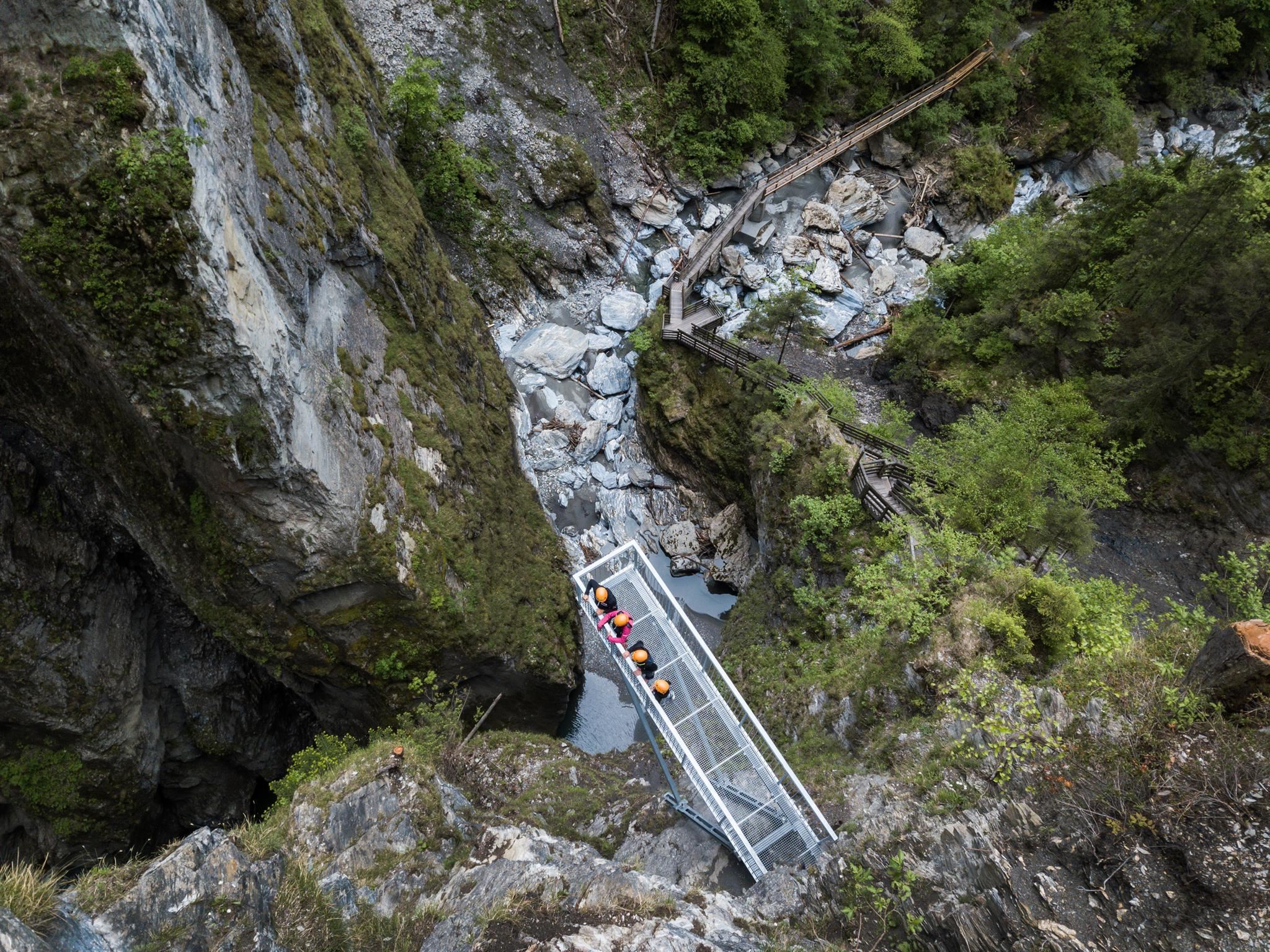
A narrow gorge at Taxenbach cut by the Rauriser Ache, crossed on wooden walkways between overhanging rock walls.
Kitzlochklamm
A narrow gorge at Taxenbach cut by the Rauriser Ache, opened up by walkways and galleries that lead close above the rushing water.
Niederseilgarten am Schlossberg
A low ropes course on the Schlossberg at Lend in the Pinzgau, used for group activities.
Kräuterwelt am Schlossberg
4 km away, in Taxenbach
A herb garden on the Schlossberg above Taxenbach in the Pinzgau, planted with local medicinal and kitchen herbs.
Burg Klammstein
4.1 km away, in Dorfgastein
A castle above the narrows at the entrance to the Gastein valley near Dorfgastein, once controlling the road south.
Rodelbahn Kreuzboden Rauris
5.7 km away, in Rauris
A toboggan run at Kreuzboden near Rauris, sledged in winter in the Raurisertal of the Pinzgau.
9 Tipps für die Ferienregion Nationalpark Hohe Tauern
5.9 km away, in Rauris
A SalzburgerLand article listing nine excursion ideas for the Hohe Tauern National Park region around Rauris.
Hochkaseralm 1.700 m
8.3 km away, in Taxenbach
A high pasture hut at 1,700 m in the grazing country between Dienten and Taxenbach, serving Austrian dishes in summer.
Nationalparktaxi Seidlwinkltal Rauris
8.9 km away, in Rauris
A shuttle taxi into the Seidlwinkltal, the Rauris side valley used to reach walks in the Hohe Tauern National Park.
Klingelbergalm 1.474 m
9.1 km away, in Goldegg
A farm alm at 1,474 m above Dienten am Hochkönig, selling organic produce direct from the farm and serving plain home cooking.
NP-Ausstellung "Im Facettenreich" Rauris
9.9 km away, in Rauris
A Hohe Tauern National Park exhibition in the upper Rauris valley, on the geology and crystals of the range.
Althausalm 1.200m
11 km away, in Sankt Veit im Pongau
A pasture hut at 1,200 m in the Mühlbach corner of the Hochkönig region, serving regional dishes through the summer season.
Königsbergalm 1.325 m
7.8 km away, in Dienten am Hochkönig
A pasture hut at 1,325 m on the Königsberg above Dienten, serving home-style regional food in the meadows south of the Hochkönig.
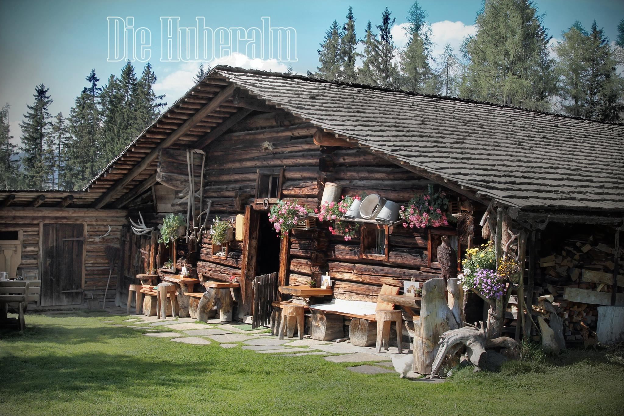
Huberalm 1.422 m
8.3 km away, in Dienten am Hochkönig
A quiet working alm at 1,422 m above Dienten am Hochkönig, serving simple alm fare to walkers in the summer season.
Moosalm 1.386 m
8.6 km away, in Dienten am Hochkönig
A pasture hut at 1,386 m above Dienten am Hochkönig, offering home cooking on the walking routes around the village.
 Historic site
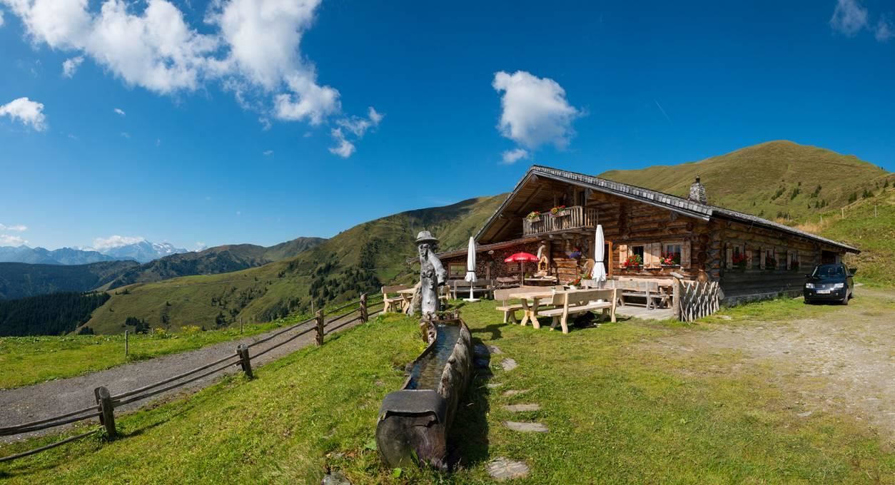
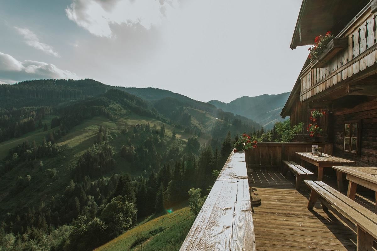
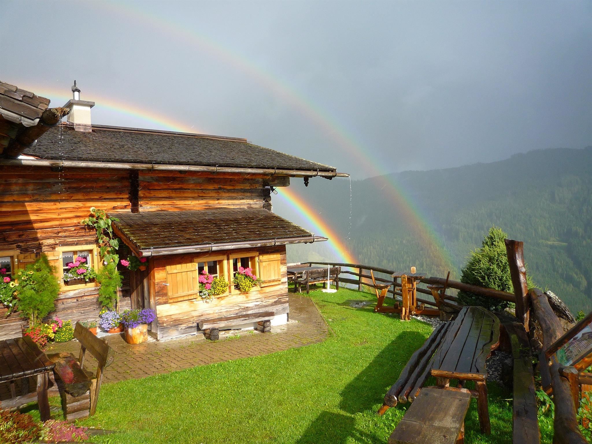
 Mountain hut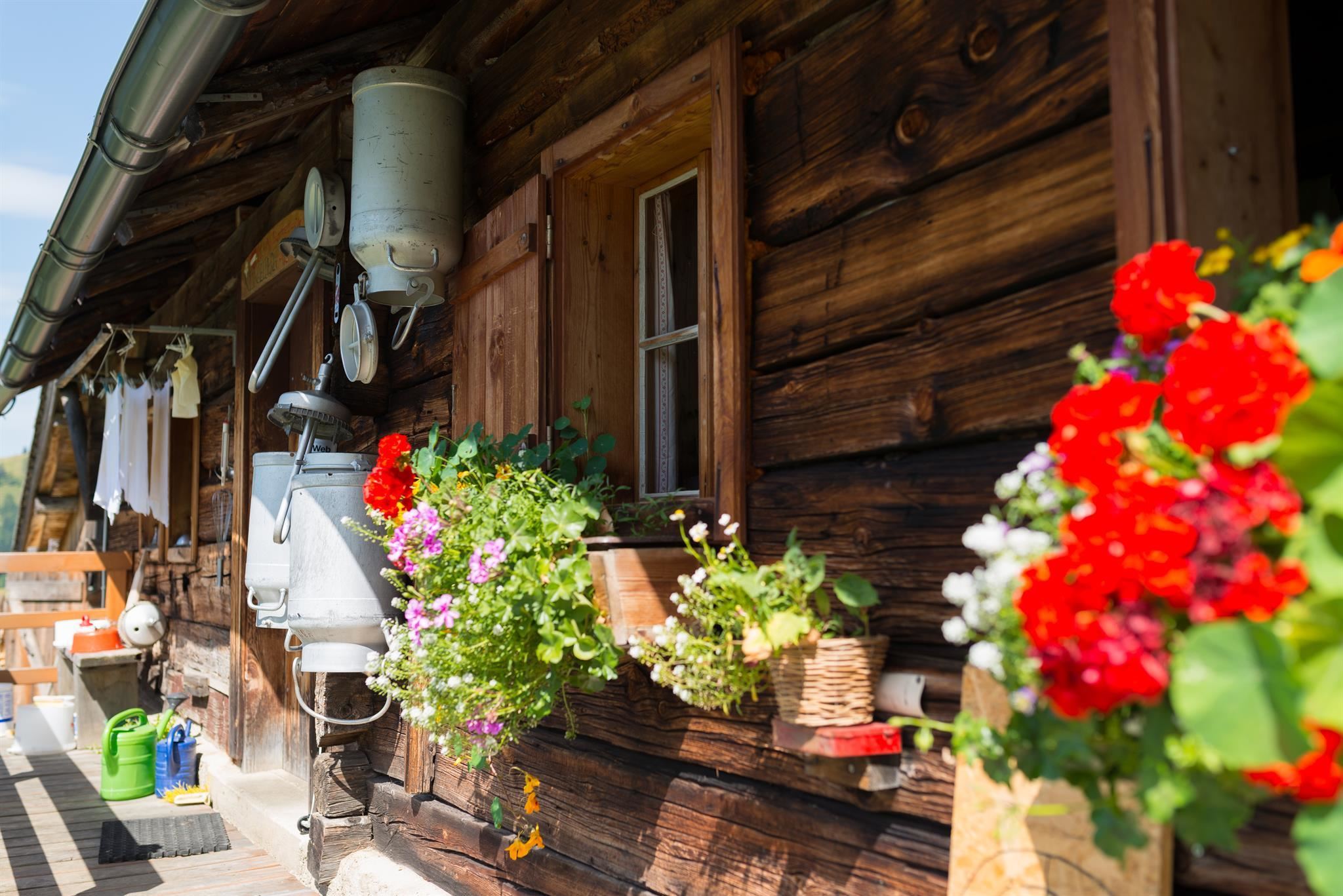
Nothing of this kind in Lend.
Routes
15 from neighbouring places
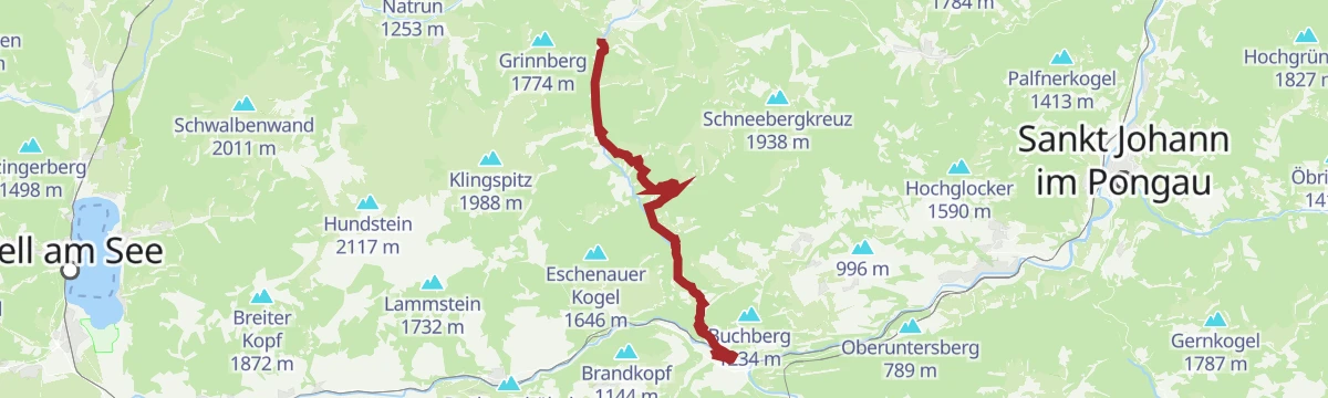
Pinzgauer Marienweg Etappe 10: Lend - Dienten
A demanding pilgrim stage from Lend up to Dienten, 15 km with a chance to swim on the way.
- 15.3 km
- Distance
- 739 m
- Ascent
- 5 h 4 min
- Duration
- 1
- Check-ins
Ironman - Rund um die Pinzgauer Grasberge
The Ironman bike loop round the Pinzgau grass mountains, out by Maria Alm and back along the Salzach.
- 63.8 km
- Distance
- 796 m
- Ascent
- 6 h 25 min
- Duration
- 20
- Check-ins
IRONMAN 70.3. WM-Radstrecke
The road racing circuit around Zell am See, running out to Bruck in the Salzach valley and over the Filzensattel before returning to the lake.
- 89.9 km
- Distance
- 1 247 m
- Ascent
- 9 h 9 min
- Duration
- 17
- Check-ins
Am Fuße des Hochkönigs
A long day round the foot of the Hochkönig from Wagrain, by the Übergossene Alm and the Mittereggalm.
- 74.8 km
- Distance
- 1 720 m
- Ascent
- 8 h 16 min
- Duration
- 14
- Check-ins
Dientner Runde + Rauriserhöhe
A long road circuit from Maria Alm over the Filzensattel to Bruck at the mouth of the Salzach valley, with a second big climb before the return.
- 72.7 km
- Distance
- 1 642 m
- Ascent
- 7 h 60 min
- Duration
- 16
- Check-ins
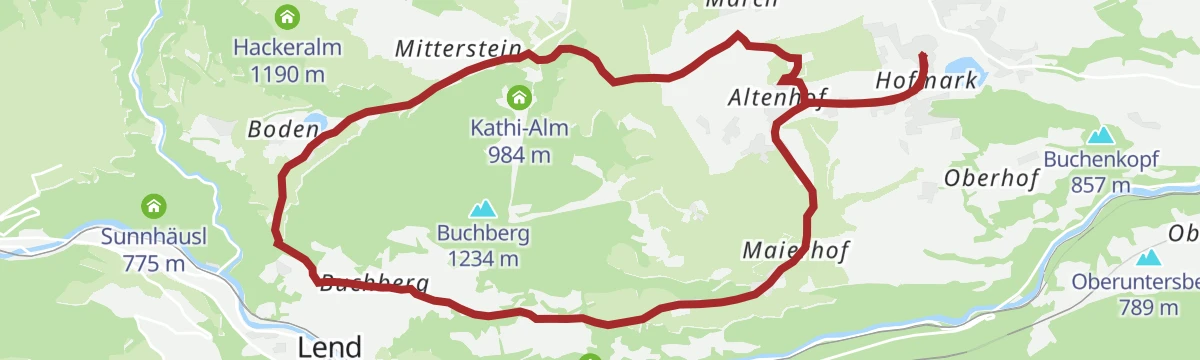
Großer Buchbergrundweg
7.3 km away, in Goldegg
A well-used 13 km circuit of the Buchberg above Goldegg, gentle throughout and taking in much of the parish's farmland.
- 12.8 km
- Distance
- 278 m
- Ascent
- 3 h 40 min
- Duration
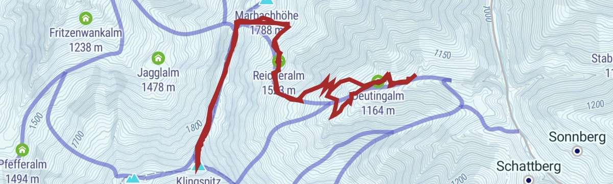
Skitour zum Klingspitz
9.1 km away, in Dienten am Hochkönig
Ski tour of 900 m to the Klingspitz by the Deutingalm and Reicheralm, facing the Hohe Tauern and the Steinernes Meer from the top.
- 10.7 km
- Distance
- 906 m
- Ascent
- 908 m
- Descent
- 3 h 48 min
- Duration
- 9
- Check-ins
Bürglalm - Mitzi Trail - Skill Area (Tour 9)
10.4 km away, in Dienten am Hochkönig
A short lift-served descent from the Bürglalm back down to the valley floor at Dienten am Hochkönig, finishing at the skills area.
- 5.1 km
- Distance
- 0 m
- Ascent
- 41 min
- Duration
Rundweg über die Wastlhöhe
10.4 km away, in Dienten am Hochkönig
Short round over the Wastlhöhe between the Bürglalm and the Zachhofalm, facing the Hochkönig, with 185 m of ascent.
- 3.4 km
- Distance
- 179 m
- Ascent
- 1 h 18 min
- Duration
- 30
- Check-ins
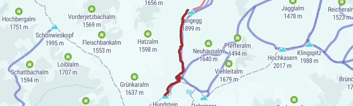
Skitour zum Statzerhaus auf den Hundstein 2.117 m
11.6 km away, in Maria Alm am Steinernen Meer
A short ski tour of 280 m finishing at the Statzerhaus on the 2,117 m Hundstein.
- 2.8 km
- Distance
- 266 m
- Ascent
- 40 m
- Descent
- 58 min
- Duration
- 57
- Check-ins
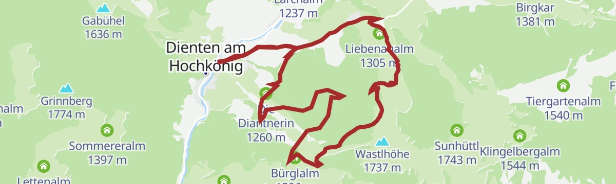
MTB Tour Nani & Mariedl Trail (Tour 10)
11.6 km away, in Dienten am Hochkönig
A loop pairing the forest-road climb to the Zachhof Alm with a singletrack descent back down to Dienten am Hochkönig.
- 11.0 km
- Distance
- 608 m
- Ascent
- 1 h 38 min
- Duration
- 19
- Check-ins
Königsjodler Klettersteig – Hochkönig
12.6 km away, in Mühlbach am Hochkönig
One of the longest cabled routes in Salzburg: 1,650 m of ascent from the Erichhütte over the Grandlspitz and Kematstein by the Hohe Scharte on the Hochkönig ridge.
- 5.2 km
- Distance
- 1 560 m
- Ascent
- 6 h 41 min
- Duration
- 29
- Check-ins
Großarl: Bergstation Panoramabahn, 1.840 m über Hubwald
14 km away, in Großarl
A 950 m ski climb through the Hubwald to the Panoramabahn top station at 1,840 m, inside the Großarltal-Dorfgastein ski area.
- 7.6 km
- Distance
- 952 m
- Ascent
- 955 m
- Descent
- 3 h 25 min
- Duration
- 24
- Check-ins
ZE7 | Waldheim-Enzianhütte Tour
14.7 km away, in Zell am See
A steady, mid-length climb from the valley floor up to the Enzianhütte at 1,267 m on the slopes above Zell am See.
- 13.2 km
- Distance
- 589 m
- Ascent
- 1 h 44 min
- Duration
- 9
- Check-ins
Waldheim-Tour
14.9 km away, in Zell am See
A short but persistent paved climb on the hillside above Zell am See, gaining 280 m in under four kilometres of riding.
- 3.6 km
- Distance
- 280 m
- Ascent
- 41 min
- Duration
Heukareck (über St. Veit/Niederuntersberg)
12.8 km away, in Sankt Veit im Pongau
Steep ascent from St. Veit gaining 1,327 m in under 8 km to the Heukareck and Tennköpfl, by way of the Brauneggalm and the two Tennalmen.
- 7.4 km
- Distance
- 1 327 m
- Ascent
- 4 h 60 min
- Duration
- 7
- Check-ins
Tauernradweg - Teilstück Schwarzach bis Werfen
10.8 km away, in Schwarzach im Pongau
A gently falling valley section of about 25 km between Schwarzach and Werfen, following the Salzach past Pfarrwerfen.
- 24.5 km
- Distance
- 42 m
- Ascent
- 2 h 14 min
- Duration
- 6
- Check-ins
ZE8 | Thumersbach-Hundstein Tour
12.9 km away, in Zell am See
A relentless climb from the east shore at Thumersbach over the Ebnerscharte to the Statzerhaus on the Hundstein, 1,380 m up in 14 km.
- 14.2 km
- Distance
- 1 380 m
- Ascent
- 3 h 14 min
- Duration
- 46
- Check-ins
Almwanderung im Schwarzenbachtal
7.7 km away, in Goldegg
A quiet alm walk up the Schwarzenbachtal past the Königsbergalm and the Klausalm, well away from the busier routes.
- 9.0 km
- Distance
- 563 m
- Ascent
- 3 h 51 min
- Duration
- 1
- Check-ins
Skitourenlehrpfad Dienten
10.9 km away, in Dienten am Hochkönig
Signed ski-touring teaching route in Dienten, 676 m of climbing to the Grünköpfl past the Grünegg Alm, looking across to the Hochkönig massif.
- 8.7 km
- Distance
- 676 m
- Ascent
- 675 m
- Descent
- 3 h
- Duration
- 1
- Check-ins






No routes of this kind in Lend yet.
Planning a trip to Lend?
Everything else Salzburg (state) has, in one place


Take Lend with you into the mountains
Every route on this page with 3D terrain, GPX navigation and offline maps — including the valleys with no signal.
Data sources
- Official website: nationalpark.at ↗
- Routes and highlights: Hochkönig Tourismus, Nationalpark, Zell am See-Kaprun Tourismus, Großarltal Tourismus, Salzburgerland, Wagrain-Kleinarl Tourismus, St. Johann im Pongau Tourismus, Salzburger Sportwelt
- Published as open data by the tourist boards named above.
- Region summary generated from the board's own material.
