
 Historic site
 Cable car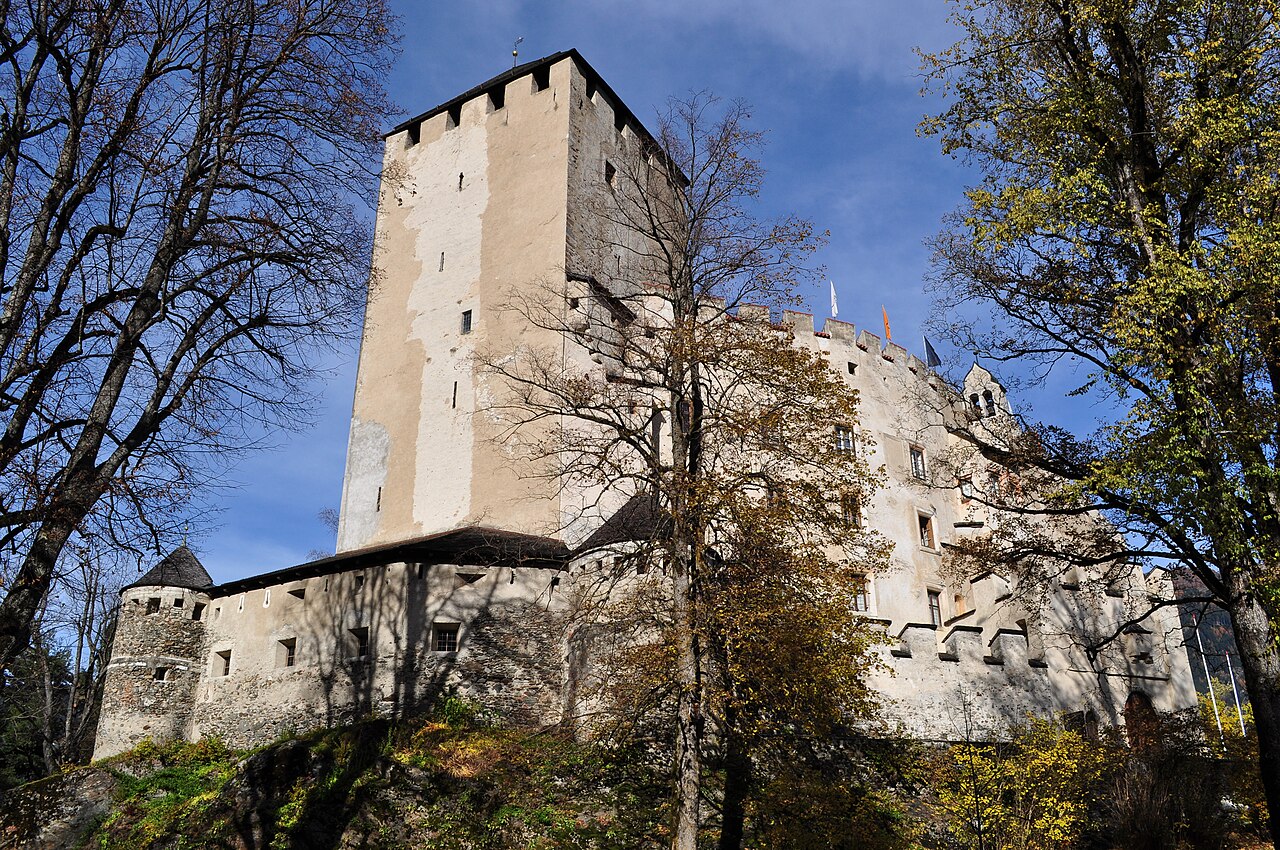




Curated by Osttirol Tourismus
Leisach
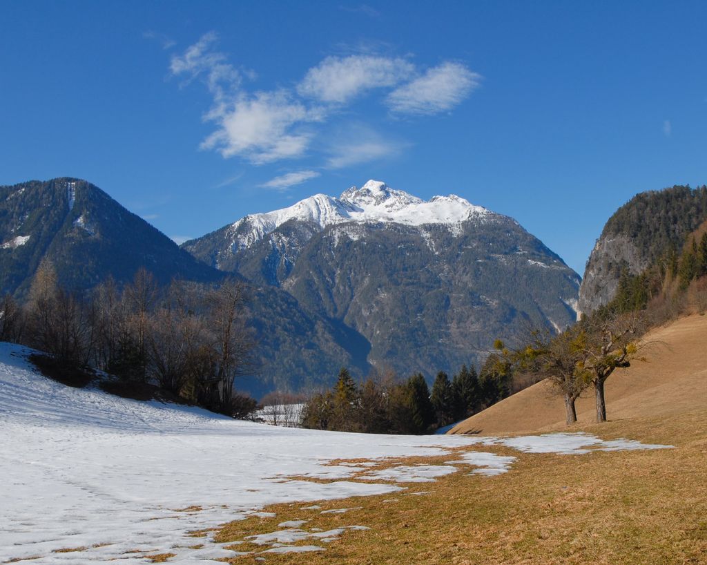
Below the Lienz Dolomites where the Drau valley narrows south of Lienz, guarding the historic Lienzer Klause barrier fort.
Photo: Simfunkel · CC BY-SA 3.0 licence
- 2Highlights
- 10Routes
- Featured summit · Hochstadel
Highlights
13 from neighbouring places
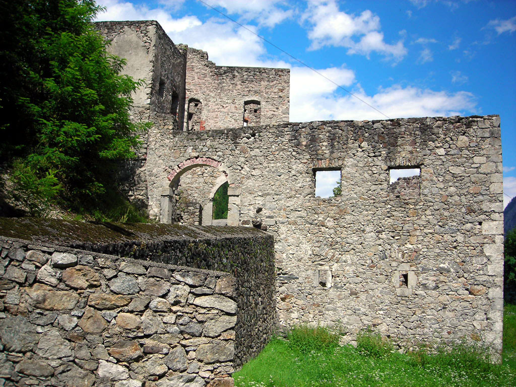
Lienzer Klause
A historic barrier fortification at Leisach south of Lienz, built to control the narrow passage of the Drau valley toward the Pustertal.
Oberforcher Michael-Almhütte
An alm hut of the Oberforcher farm above Leisach, on the wooded slopes at the southwestern edge of the Lienz basin.
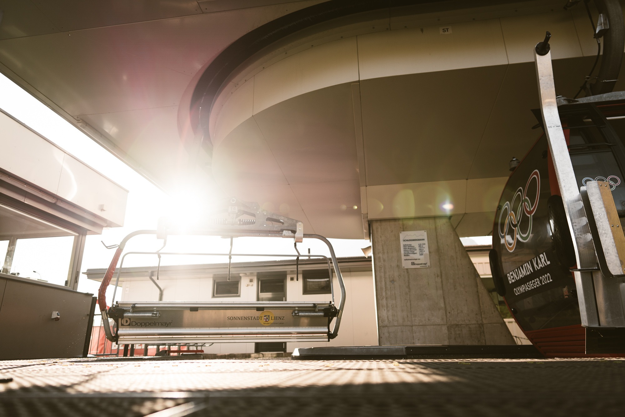
Lienzer Bergbahnen, Hochstein
6.6 km away, in Lienz
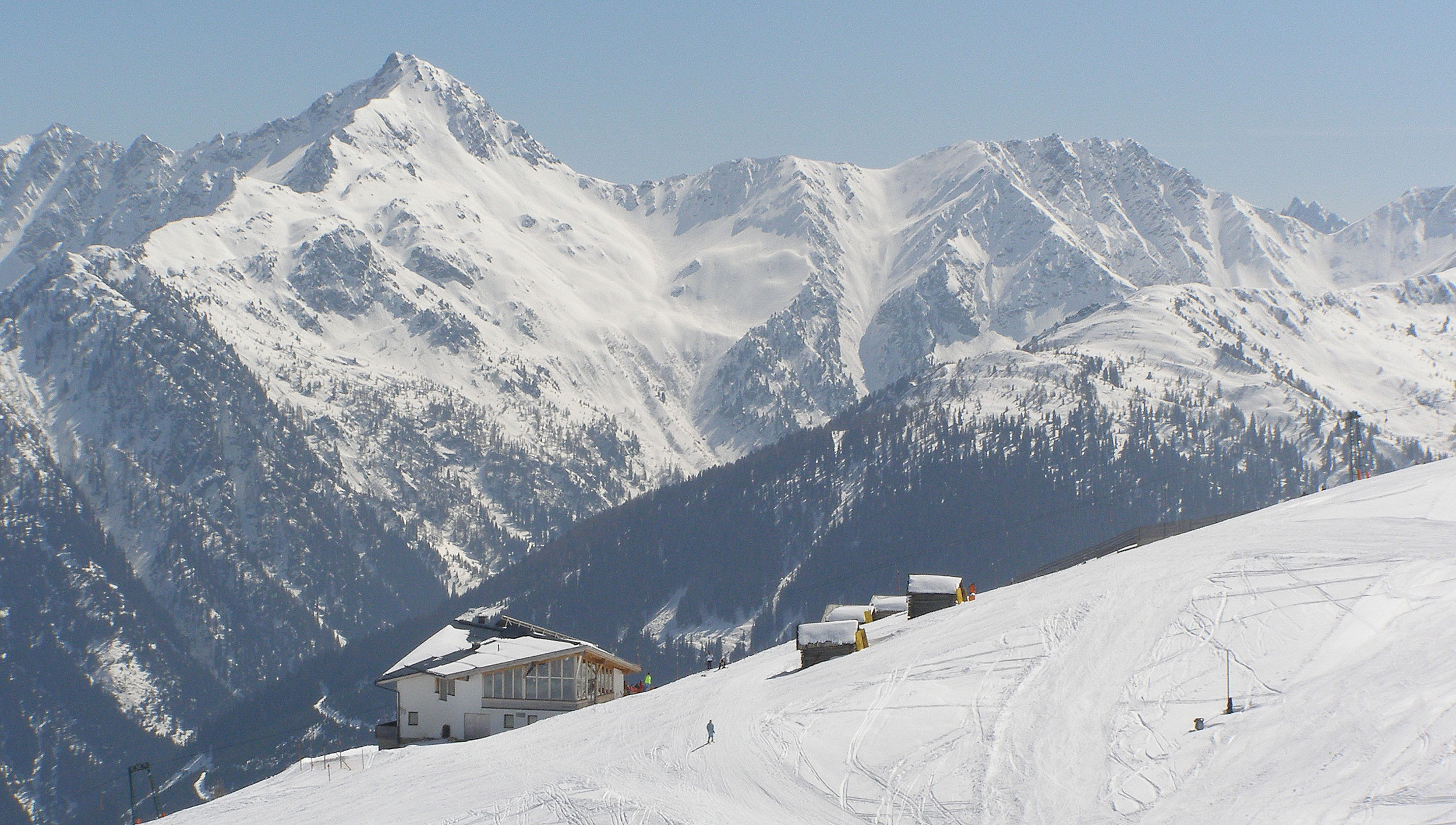
Lifts up the Hochstein, Lienz's local mountain, serving ski slopes in winter and walking routes and downhill bike trails in summer.
Sommerrodelbahn Osttirodler
6.7 km away, in Lienz
An alpine coaster on the slopes above Lienz, running from the mountain station of the town's lifts down toward the valley.
Schloss Bruck | Museum der Stadt Lienz
6.7 km away, in Lienz
A medieval castle of the Counts of Görz above Lienz, now the city museum with works by the painter Albin Egger-Lienz.
Stadtpfarrkirche St. Andrä
7.2 km away, in Lienz
The Gothic town parish church of Lienz, where a memorial chapel holds the grave of the painter Albin Egger-Lienz.
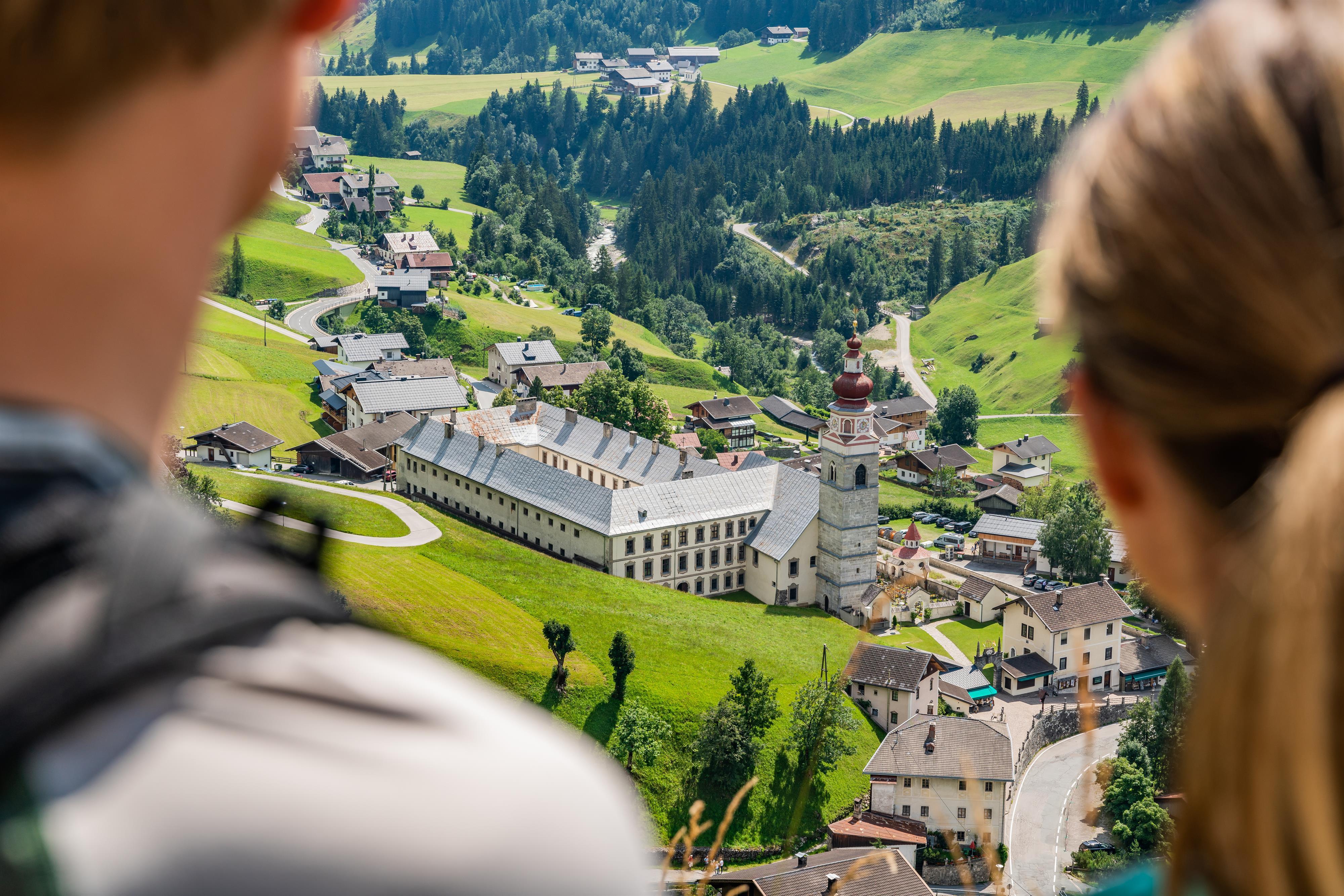
Basilika Maria Luggau
7.9 km away, in Lesachtal
A pilgrimage basilica at Maria Luggau in the Lesachtal, visited by thousands of pilgrims each year.
Kindermeile im Familienwandergebiet Golzentipp
9.3 km away, in Obertilliach
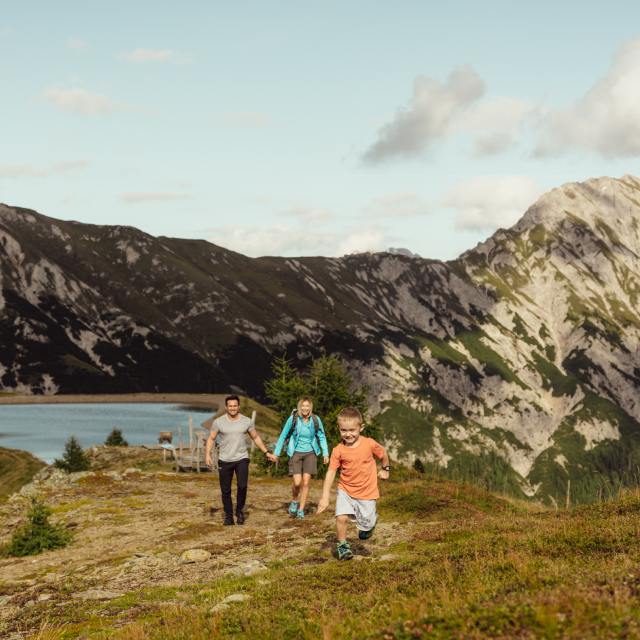
A children's trail in the Golzentipp family walking area above Obertilliach, with play stations strung along an easy lift-served route.
Obertilliacher Bergbahnen
10.6 km away, in Obertilliach
The village lifts of Obertilliach at 1,459 m, rising to the Golzentipp ski and family walking area above the Tiroler Gailtal.
Abenteuer- und Walderlebniswelt Lesachtal
10.6 km away, in Lesachtal
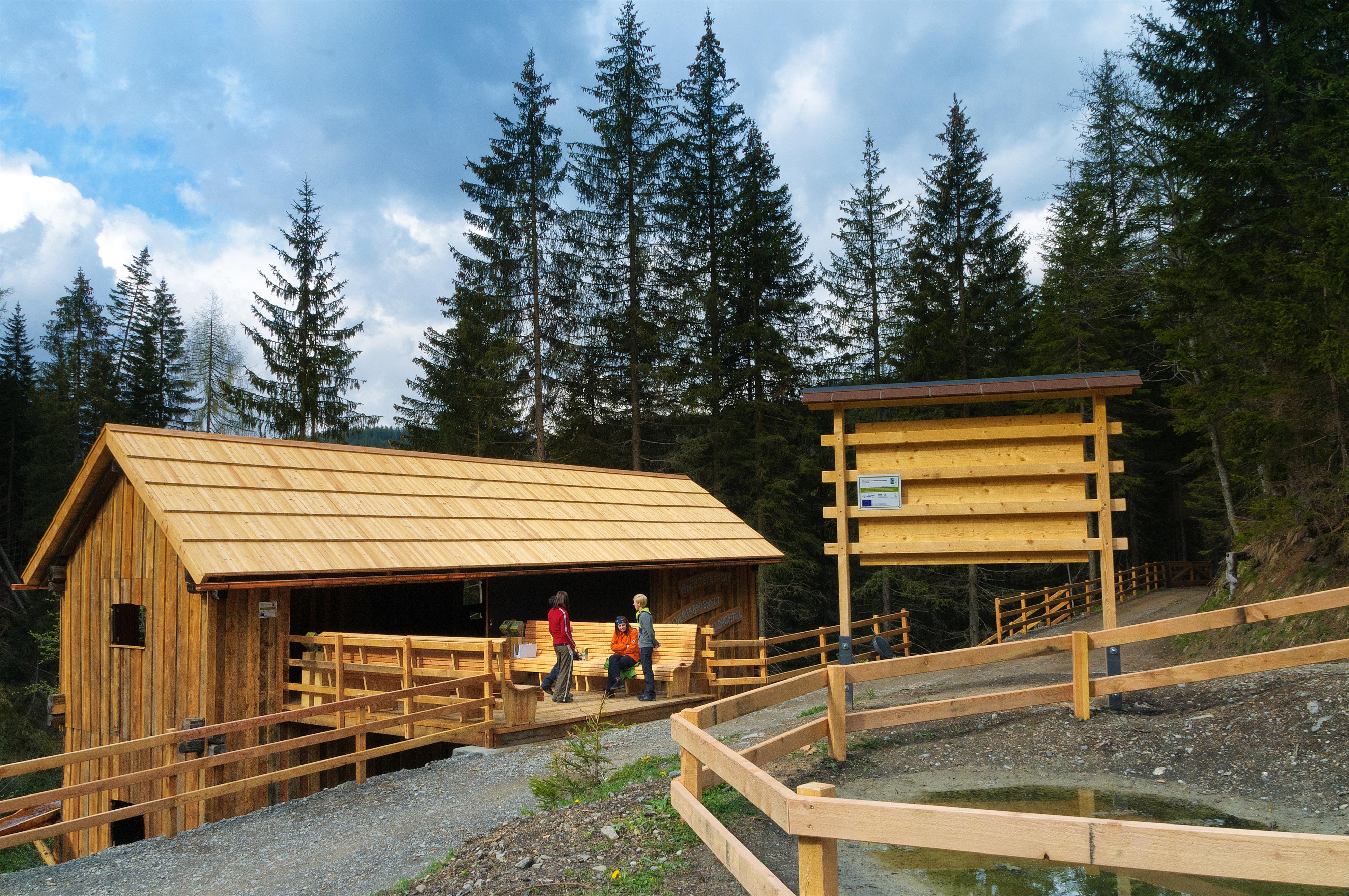
A forest adventure world in the Lesachtal, with climbing and play stations among the trees.
Seekofel
5.7 km away, in Tristach
A multi-pitch climbing peak in the Lienz Dolomites above the Tristacher See, with routes on its limestone walls.
Kosakenfriedhof
7.5 km away, in Tristach
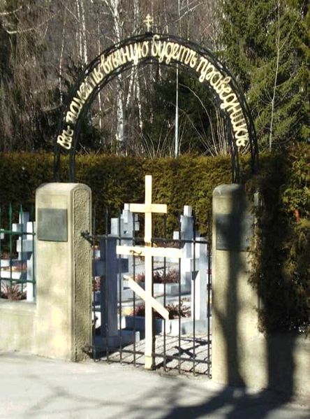
A cemetery near Lienz for Cossacks who died in 1945, when refugees camped in the Drau valley were handed over to the Soviet army.
Lienzer Bergbahnen, Zettersfeld
8.5 km away, in Gaimberg
A gondola from the edge of Lienz to the Zettersfeld, a sunny plateau at around 1,800 m with family ski slopes and easy high-level walking.
Kuenz Naturbrennerei
10.9 km away, in Dölsach
A family fruit distillery at Dölsach near Lienz, producing schnapps from orchard fruit and offering tastings and farm sales.
Nothing of this kind in Leisach.
Routes
E-Bike & Klettersteig Burg Heinfels 1.130m
Short sport via ferrata below Burg Heinfels in the Pustertal, ridable to the base from the Punbrugge; a key wall provides the brief crux before the walk-off.
- 63.0 km
- Distance
- 52 m
- Ascent
- 22 h 48 min
- Duration
- 11
- Check-ins
Märchensteig zur Hochsteinhütte
Fairy-tale trail from the Schlossbergbahn in Lienz up to the Hochsteinhütte, passing the Sternalm and the Hubertusteich with story stations for children.
- 5.1 km
- Distance
- 522 m
- Ascent
- 3 h 12 min
- Duration
- 16
- Check-ins
 Hochsteinhütte 2 025 m
- Sternalm 1 505 m
 Hubertusteich 1 558 m
Horniss Nr. 106
A forest-road climb above the Drau valley to the Sternalm at just over 1,500 m, beside the top station of the Hochstein lift.
- 11.0 km
- Distance
- 771 m
- Ascent
- 1 h 57 min
- Duration
- 5
- Check-ins
Hochsteinrunde Nr. 121
A long climb on the toll road above Lienz to the hut at 2,025 m, with the Almhütte Huber Kaser at about 1,700 m on the way.
- 31.3 km
- Distance
- 1 390 m
- Ascent
- 4 h 5 min
- Duration
- 25
- Check-ins
Bike & Hike Böses Weibele 2.521m
A big climb above Lienz on the Hochstein toll road, riding to the Hochsteinhütte at 2,025 m where the walk to the summit begins.
- 45.1 km
- Distance
- 2 092 m
- Ascent
- 5 h 59 min
- Duration
- 28
- Check-ins
Reiter Kirchl
Short, sharp climb from the Schlossbergbahn near the Moosalm to a small chapel perched above Lienz — some 350 m of height gain in under 3 km.
- 5.4 km
- Distance
- 357 m
- Ascent
- 2 h 24 min
- Duration
- 9
- Check-ins
Schloßbergrunde Nr. 103
A circuit on the home mountain of Lienz, climbing forest roads to the Sternalm at 1,505 m and returning past the Bergfried.
- 15.6 km
- Distance
- 862 m
- Ascent
- 2 h 19 min
- Duration
- 16
- Check-ins
Drauradweg
A gently descending stage on the river cycle path from San Candido through the Pustertal, following the Drau past Mittewald to Nikolsdorf.
- 63.2 km
- Distance
- 165 m
- Ascent
- 5 h 46 min
- Duration
- 25
- Check-ins
Dolomitenradrundfahrt
A long road circuit from the Drau valley over the Gailbergsattel and the Kartitscher Sattel, returning through the Lesachtal and Kötschach-Mauthen.
- 109.7 km
- Distance
- 2 481 m
- Ascent
- 12 h 5 min
- Duration
- 12
- Check-ins
Pustertaler Höhenstraße
A paved high road above the valley floor linking Assling with Abfaltersbach, passing the Enderlinder on the climb.
- 29.0 km
- Distance
- 1 100 m
- Ascent
- 3 h 37 min
- Duration
No routes of this kind in Leisach yet.
The region's own picks

Featured route
Märchensteig zur Hochsteinhütte
Fairy-tale trail from the Schlossbergbahn in Lienz up to the Hochsteinhütte, passing the Sternalm and the Hubertusteich with story stations for children.
Planning a trip to Leisach?
Everything else Tyrol has, in one place


Take Leisach with you into the mountains
Every route on this page with 3D terrain, GPX navigation and offline maps — including the valleys with no signal.
Data sources
- Official website: osttirol.com ↗
- Routes and highlights: Osttirol Tourismus, Nassfeld-Pressegger See Tourismus
- Published as open data by the tourist boards named above.
- Region summary generated from the board's own material.
