


















Curated by Garda Trentino
Ledro
The comune of the Ledro valley and its lake, with the Bronze Age pile-dwelling museum, west of Riva del Garda.
- 2Highlights
- 89Routes
- Featured summit · Monte Cadria
Highlights
1 from neighbouring places
Lago di Ledro
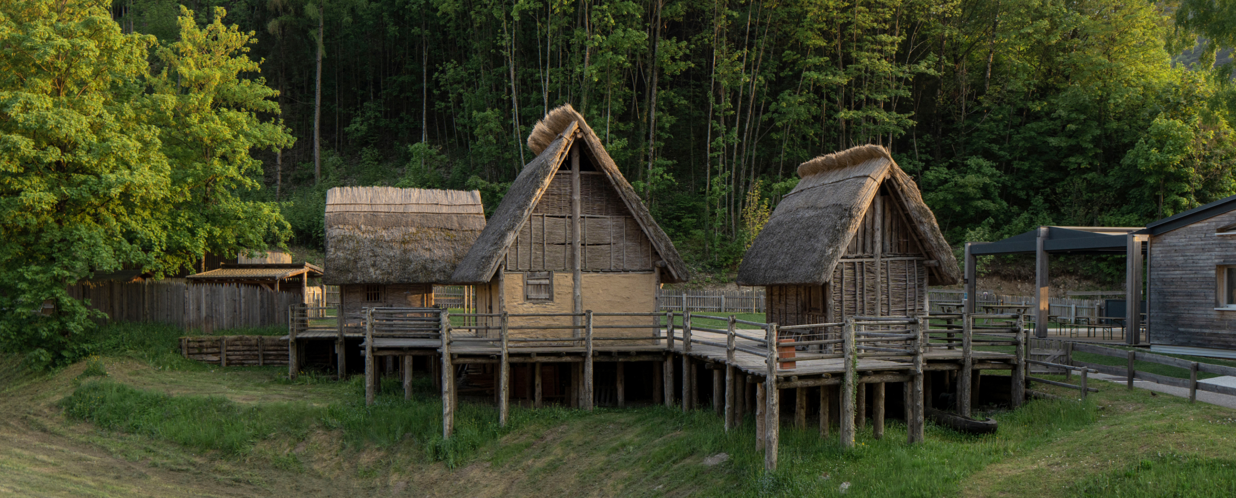
A lake at 655 m in the Ledro valley west of Riva del Garda, with a Bronze Age pile-dwelling site on its shore.
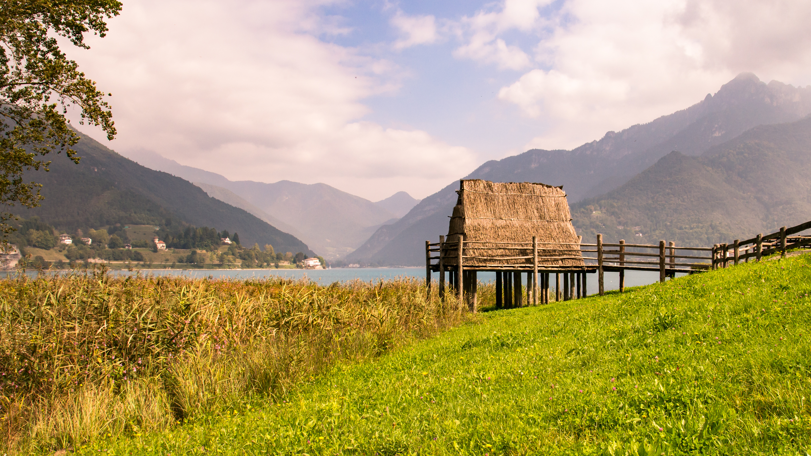
Museo delle Palafitte del Lago di Ledro
A museum on the Bronze Age pile dwellings found in Lake Ledro, built over part of the excavated site.
Ethnographisches Museum von Valvestino
13.4 km away, in Magasa
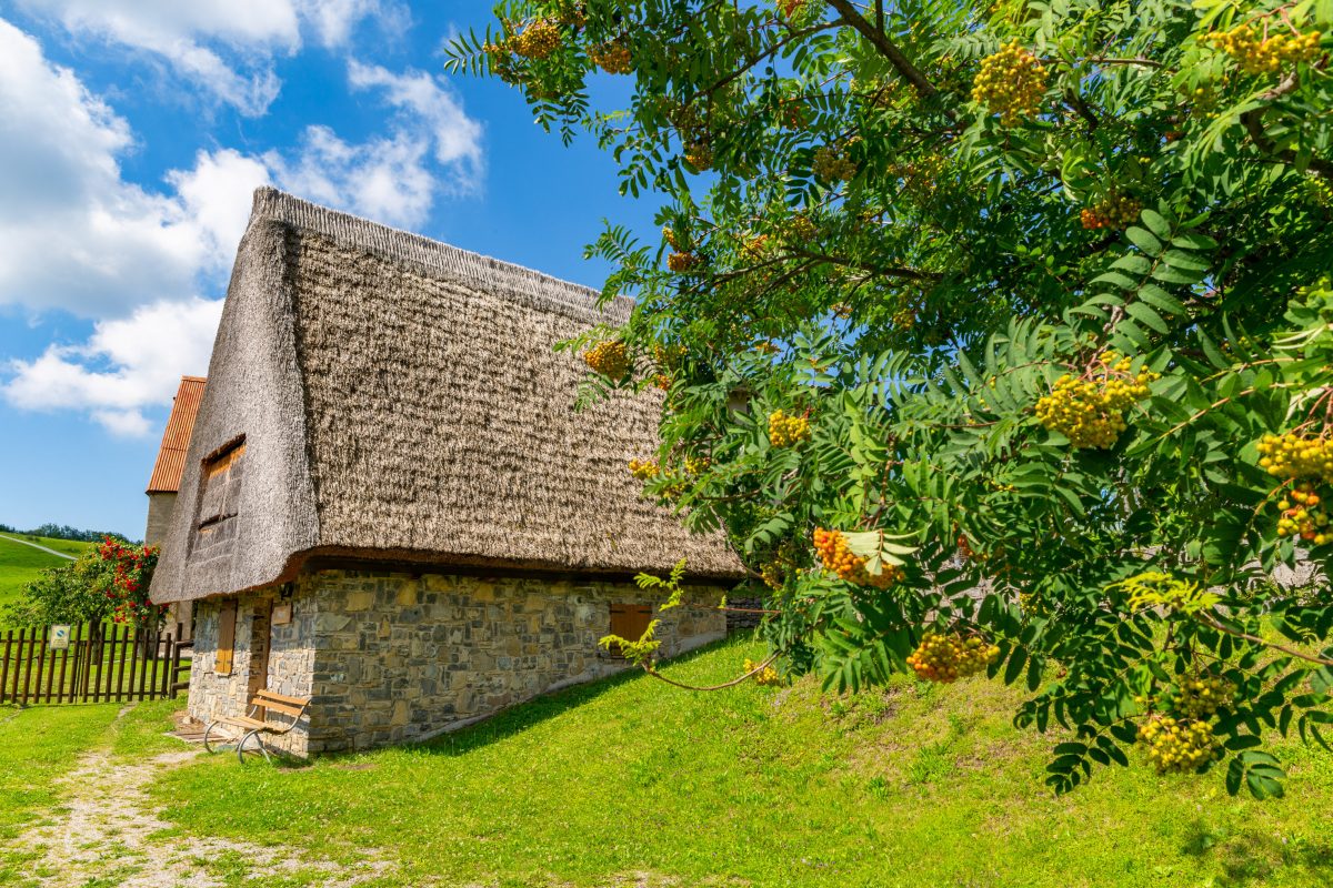
A museum of Valvestino history and tradition at Magasa, housed in one of the old hay barns of the Cima Rest plateau.
Nothing of this kind in Ledro.
Routes
50 routes, an even mix of activities · see the rest on gardatrentino.it ↗
Via Ferrata Fausto Susatti - Cima Capi (from Riva del Garda)
A ferrata up the south ridge of Cima Capi above Lake Garda, on the Rocchetta walls, past trenches and posts from the Great War.
- 9.9 km
- Distance
- 1 147 m
- Ascent
- 8 h 38 min
- Duration
- 156
- Check-ins
 Cima Capi 909 m
 Casermetta 143 m
- vecchio acquedotto 171 m
- Cantoniera Riva del Garda 71 m
- Info Point Porto di Riva 68 m
 Bocca Pasumer 980 m
- +1
Open route Garda TrentinoVia Ferrata delle Laste e Gallerie di Cima Rocca
An easy protected route along the upper Austrian defence line to the church of San Giovanni al Monte and the tunnels bored right through Cima Rocca; a headlamp is needed.
- 6.3 km
- Distance
- 695 m
- Ascent
- 5 h 17 min
- Duration
- 94
- Check-ins
Open route Garda TrentinoVia Ferrata Fausto Susatti - Cima Capi (from Ledro)
A ferrata to Cima Capi above the north end of Lake Garda, past trenches, walkways and gun emplacements, with the hillside church known as San Giovanni in montibus on the way.
- 7.0 km
- Distance
- 689 m
- Ascent
- 5 h 22 min
- Duration
- 91
- Check-ins
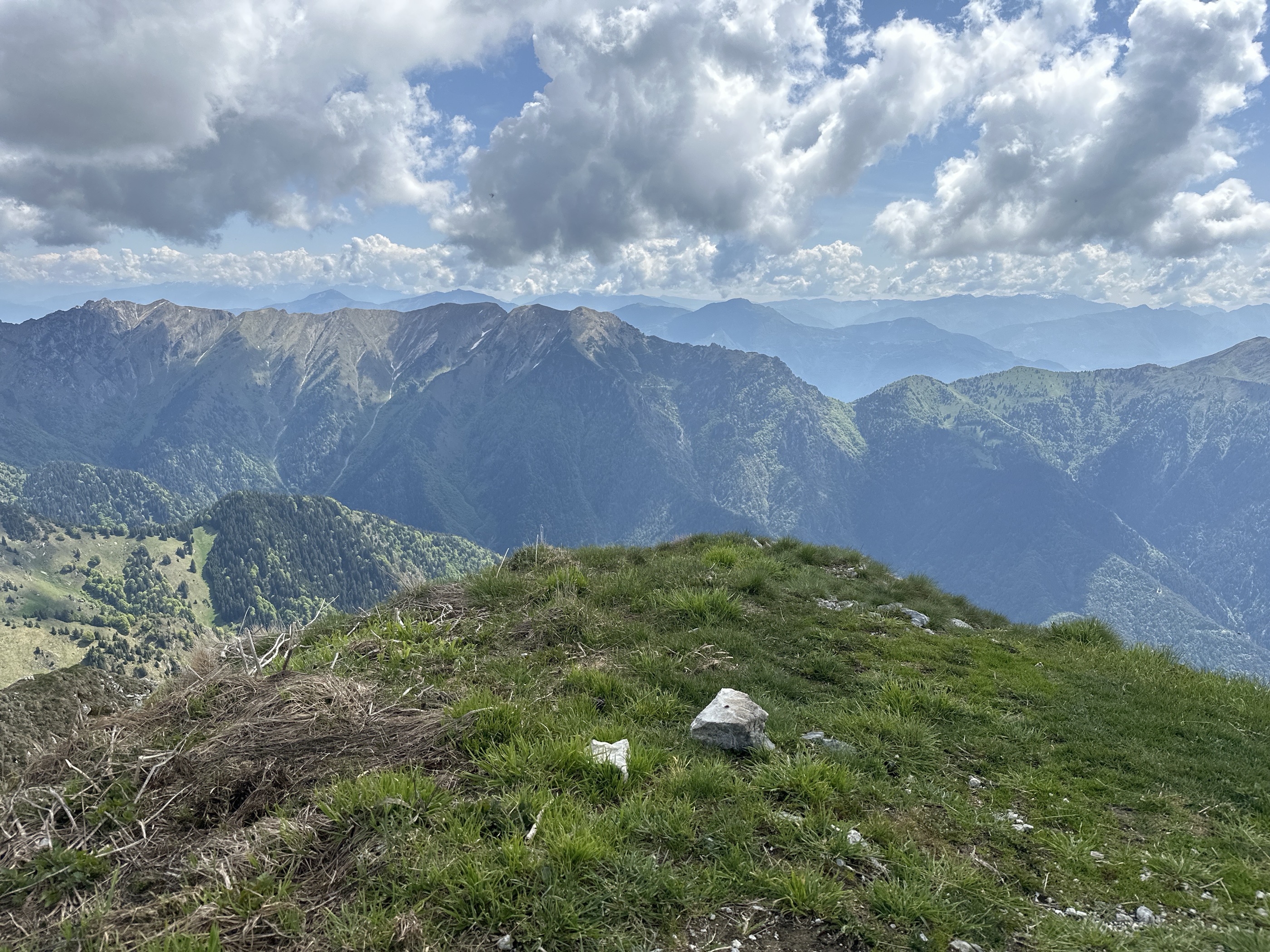
Open route Garda TrentinoView from Tremalzo
A walk on the Tremalzo ridge above Ledro, botanically rich with plants found nowhere else.
- 4.3 km
- Distance
- 181 m
- Ascent
- 1 h 27 min
- Duration
- 33
- Check-ins
- Bocca Di Val Marza 1 885 m
- Passo di Tremalzo 1 664 m
- Tunnel Corno della Marogna 1 855 m
- Rifugio Garda 1 702 m
- Bocca di Val Marza 1 787 m
Open route Garda TrentinoGrande Guerra: Sentiero del Defensionmauer "A. Lutteri"
A climb to the Sperone defence wall, built before the Great War against an Italian infantry advance, with its gun positions still in place.
- 8.8 km
- Distance
- 1 022 m
- Ascent
- 6 h 7 min
- Duration
- 111
- Check-ins
Ledro Alps Trek Alpiedi - Leg 3: from Bivacco Arcioni to Rifugio Pernici
A stage from the Arcioni bivouac to the Pernici hut across the Dromaè and Saval meadows, where Austrian trenches and a war hospital survive, with Lake Ledro in sight.
- 11.1 km
- Distance
- 1 261 m
- Ascent
- 6 h 7 min
- Duration
- 128
- Check-ins
- Rocchetta Giochello 1 519 m
- Cima Valdes 1 578 m
- Bivacco Arcioni 858 m
- Rifugio Bocca di Trat "Nino Pernici" 1 600 m
- Bocca Pasumer 980 m
- Malga Degiacomi 960 m
- +5
Open route Garda TrentinoPonale Gravel Tour
A gravel climb on the old road cut into the cliffs above Lake Garda, closed to cars since 1995, then paved switchbacks up to Pregasina.
- 14.4 km
- Distance
- 1 016 m
- Ascent
- 2 h 33 min
- Duration
- 137
- Check-ins
- Casermetta 143 m
- vecchio acquedotto 171 m
- Ponale Alto Belvedere 223 m
- Cantoniera Riva del Garda 71 m
- Info Point Porto di Riva 68 m
- Garda Dolomiti Azienda per il turismo S.p.A. 69 m
- +1
Open route Garda TrentinoLimone - Tignale - Tremosine
A hard loop through the tunnels of the Gardesana Occidentale, then twice up to the villages on the terraces high above the western shore.
- 62.9 km
- Distance
- 2 937 m
- Ascent
- 8 h 21 min
- Duration
- 182
- Check-ins
- Casermetta 143 m
- Cantoniera Riva del Garda 71 m
- Info Point Porto di Riva 68 m
- Garda Dolomiti Azienda per il turismo S.p.A. 69 m
- Villa Zagara 78 m
- Ufficio Informazioni 102 m
- +13
Open route Garda TrentinoGalleria Riccabona
A short climb to a gun gallery under Pichea that kept watch on the Val Concei, named for Ludwig Riccabona, commander of the Kaiserjäger in the valley.
- 2.2 km
- Distance
- 248 m
- Ascent
- 1 h 5 min
- Duration
- 27
- Check-ins
Open route Garda TrentinoPonale Path (from Ledro)
The old Ponale road cut into the cliffs above the north end of Lake Garda, through cypress and holm oak rooted in rock, on a line that decided who held Riva.
- 10.5 km
- Distance
- 981 m
- Ascent
- 6 h 7 min
- Duration
- 111
- Check-ins
- Casermetta 143 m
- vecchio acquedotto 171 m
- Ponale Alto Belvedere 223 m
- Cantoniera Riva del Garda 71 m
- Info Point Porto di Riva 68 m
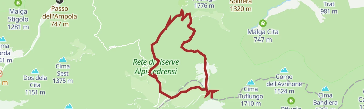
Open route Garda TrentinoLedro Alps Trek Alpiedi - Leg 2: from Tremalzo to Bivacco Arcioni
A long stage from Tremalzo to the Arcioni bivouac in the mild, Mediterranean air off Lake Garda; the bivouac key must be collected at the Pieve di Ledro tourist office.
- 23.6 km
- Distance
- 1 350 m
- Ascent
- 11 h 9 min
- Duration
- 121
- Check-ins
- Monte Nota 1 380 m
- Bivacco Arcioni 858 m
- Passo di Tremalzo 1 664 m
- Passo Nota 1 204 m
- Rifugio Alpini Passo Nota 1 207 m
- Passo Guil 1 209 m
- +10
Open route Garda TrentinoBiking round Lake Ledro
A family loop right round the lake, through Pieve and Mezzolago and past the pile-dwelling museum at Molina di Ledro.
- 10.8 km
- Distance
- 45 m
- Ascent
- 60 min
- Duration
- 53
- Check-ins
Open route Garda TrentinoTremosine’s Forra Road
A ride down the lake past Limone and up the narrow 1913 road that threads a gorge in tunnels and galleries, which Churchill called an eighth wonder.
- 43.3 km
- Distance
- 1 462 m
- Ascent
- 5 h 13 min
- Duration
- 166
- Check-ins
- Casermetta 143 m
- Cantoniera Riva del Garda 71 m
- Info Point Porto di Riva 68 m
- Garda Dolomiti Azienda per il turismo S.p.A. 69 m
- Villa Zagara 78 m
- Ufficio Informazioni 102 m
- +7
Open route Garda TrentinoSup Tour Ponale Waterfall
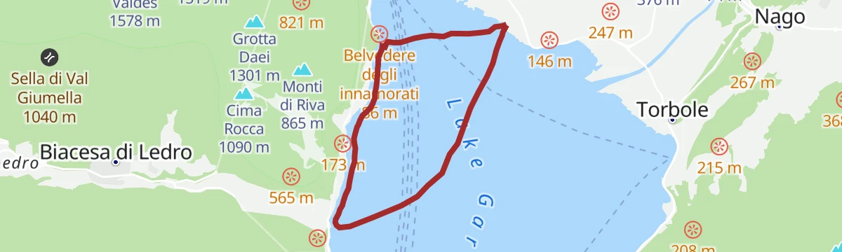
A paddle out from Riva del Garda under the Rocchetta cliff to the Ponale waterfall, with the old Ponale road traced along the rock above.
- 6.0 km
- Distance
- 0 m
- Ascent
- 1 h 24 min
- Duration
- 23
- Check-ins
Open route Garda TrentinoPonale Path (from Riva del Garda)
The old Ponale road above Lake Garda, cut into the cliff and turned into a walking and cycling route in 2004, climbing towards the Ledro valley.
- 6.3 km
- Distance
- 798 m
- Ascent
- 3 h 52 min
- Duration
- 111
- Check-ins
- Casermetta 143 m
- vecchio acquedotto 171 m
- Ponale Alto Belvedere 223 m
- Cantoniera Riva del Garda 71 m
- Info Point Porto di Riva 68 m
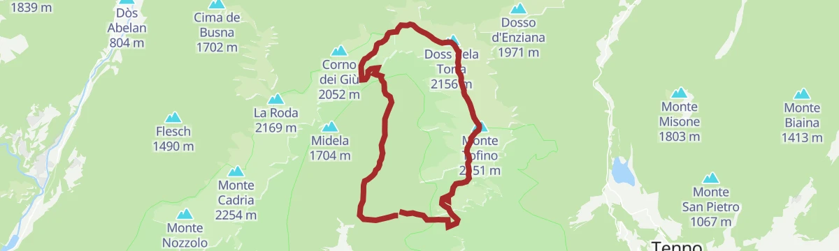
Open route Garda TrentinoLedro Alps Trek Alpiedi - Leg 4: from Rifugio Pernici to Bivacco Campel
A long leg from the Pernici hut over Corno di Pichea, Monte Cadria and Monte Tofino to the Campel bivouac, on meadow, scree and rock holding fossils.
- 18.2 km
- Distance
- 1 621 m
- Ascent
- 10 h
- Duration
- 79
- Check-ins
- Corno di Pichea 2 142 m
- Monte Cadria 2 254 m
- Monte Tofino 2 151 m
- Doss dela Torta 2 156 m
- Corno dei Giù 2 052 m
- Gavardina 2 047 m
- +11
Open route Garda TrentinoCiclabile della Valle di Ledro
A flat valley cycle path on the floor of the Ledro valley, running between Lago di Ledro and the little Lago d'Ampola.
- 9.6 km
- Distance
- 108 m
- Ascent
- 55 min
- Duration
- 13
- Check-ins
Along three lakes: from Lake Garda to Valle di Ledro
A ride from Lake Garda up to Ledro and on to Lake Ampola, where holm oak and cypress give way to conifers and then to reed beds.
- 24.1 km
- Distance
- 1 083 m
- Ascent
- 2 h 56 min
- Duration
- 148
- Check-ins
- Casermetta 143 m
- vecchio acquedotto 171 m
- Ponale Alto Belvedere 223 m
- Cantoniera Riva del Garda 71 m
- Info Point Porto di Riva 68 m
- Info Point Gardatrentino 657 m
- +1
Open route Garda TrentinoMadonna delle ferle
A short walk in the Valle di Ledro to the small shrine of the Madonna delle Ferle, with little climbing and open views for the effort.
- 5.3 km
- Distance
- 246 m
- Ascent
- 1 h 50 min
- Duration
- 15
- Check-ins
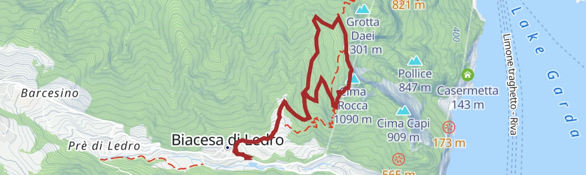
Cima Rocca
A climb to Cima Rocca, fought over in 1916 by Italians pushing up from Biacesa against Austrians in the summit works, past the San Giovanni church and the Arcioni bivouac.
- 7.8 km
- Distance
- 797 m
- Ascent
- 4 h 39 min
- Duration
- 94
- Check-ins
Open route Garda TrentinoLa Boemia in Valle di Ledro
A long route around Lake Ledro, the valley-floor villages and the woods of Val Concei, tracing eight places tied to the wartime evacuation of the valley to Bohemia.
- 27.5 km
- Distance
- 255 m
- Ascent
- 7 h 3 min
- Duration
- 55
- Check-ins
Durone - Valle del Chiese - Valle di Ledro
A demanding day from Riva del Garda over the Passo Ballino and on through Tione, five lakes along the way and a constant up and down on quiet roads.
- 91.7 km
- Distance
- 2 309 m
- Ascent
- 10 h 12 min
- Duration
- 112
- Check-ins
- Garda Dolomiti Azienda per il turismo S.p.A. 69 m
- Info Point Gardatrentino 657 m
- Info Point Riva del Garda 69 m
- Ingarda 603 m
- Bar Ristorante Passo Durone 995 m
- Passo dell'Ampola 747 m
- +13
Open route Garda TrentinoThe meadows of Legos
A walk through the hay meadows and lanes of Legos on a botanical trail lined with labelled trees, topping out at a viewpoint over Lake Ledro.
- 5.0 km
- Distance
- 182 m
- Ascent
- 1 h 37 min
- Duration
- 15
- Check-ins
Open route Garda TrentinoBocca Trat - Cima Parì
A climb to Cima Parì along the old Great War front, over ground held in turn by Austrian and Italian troops in the fighting known as the White War.
- 9.7 km
- Distance
- 633 m
- Ascent
- 4 h 17 min
- Duration
- 88
- Check-ins
- Cima Parì 1 991 m
- Rifugio Bocca di Trat "Nino Pernici" 1 600 m
- Bocca di Trat 1 581 m
- Bocca di Saval 1 739 m
- Bochét de Carét 1 807 m
- Malga Trat 1 550 m
- +2
Open route Garda TrentinoGiro delle cime
The classic round of the Valle di Ledro summits: Tofino, Pichea and Doss de la Torta, then Gavardina, Corno di Lomar, Corno dei Guì, Roda and Cadria.
- 25.8 km
- Distance
- 2 486 m
- Ascent
- 15 h 25 min
- Duration
- 53
- Check-ins
Ledro Valley Tour
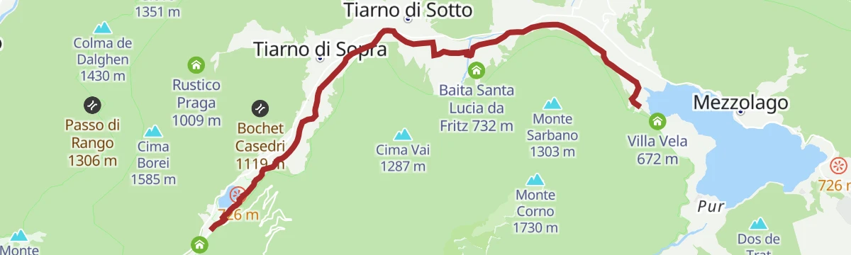
A long tour climbing through the woods of Val Concei to the Rifugio al Faggio, then down over the Passo dell'Ampola to the lake.
- 42.3 km
- Distance
- 1 312 m
- Ascent
- 4 h 60 min
- Duration
- 80
- Check-ins
- Colle di Santo Stefano 742 m
- Info Point Gardatrentino 657 m
- Villa Vela 672 m
- Rifugio al Faggio 965 m
- Passo dell'Ampola 747 m
- Info Point Gardatrentino 663 m
- +8
Open route Garda TrentinoBocca Casét. In volo sulle Alpi
A short, easy walk suited to families, ending at the bird observation point of Bocca Casèt above the Valle di Ledro on the autumn migration line.
- 4.6 km
- Distance
- 273 m
- Ascent
- 1 h 54 min
- Duration
- 9
- Check-ins
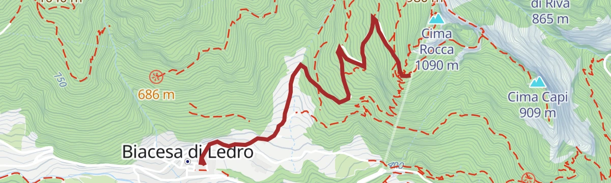
Grande Guerra: da Biacesa a Cima Rocca
A climb from Biacesa to Cima Rocca for the system of tunnels driven through the summit, with wide views over Lake Garda from the crest.
- 6.5 km
- Distance
- 703 m
- Ascent
- 4 h 15 min
- Duration
- 70
- Check-ins
Lago di Ledro - Tour
Trail 729, largely following the circuit of Lake Ledro on paved lanes and cycle paths, with a wooded traverse of the Coste di Bariolo looking down onto the water.
- 16.5 km
- Distance
- 867 m
- Ascent
- 6 h 14 min
- Duration
- 53
- Check-ins
Open route Garda TrentinoLedro Gravel Tour
A gravel loop along the floor of the Valle di Ledro, running out to the Passo dell'Ampola and back past the lakeside campsites.
- 41.8 km
- Distance
- 470 m
- Ascent
- 4 h 9 min
- Duration
- 66
- Check-ins
- Info Point Gardatrentino 657 m
- Villa Vela 672 m
- Passo dell'Ampola 747 m
- B&B Ai Casai 694 m
- Locanda Ampola 728 m
- El fenil de Pastoria 850 m
- +4
Open route Garda TrentinoLeano Variant
A steep descent to Leano and Prè above Limone, over gravel, concrete and cobbles, with cars sometimes using the lane.
- 5.6 km
- Distance
- 0 m
- Ascent
- 2 h 1 min
- Duration
- 7
- Check-ins
Open route Garda TrentinoSentiero della Pace 8: Bivacco Malga Casinot to Rifugio Pernici
A ridge stage of the peace trail over the Bocca dell'Ussol and Corno di Pichea, with fixed ropes at the Bochet de Slavazi, down to Bocca di Trat.
- 9.1 km
- Distance
- 785 m
- Ascent
- 5 h 7 min
- Duration
- 62
- Check-ins
- Corno di Pichea 2 142 m
- Monte Tofino 2 151 m
- Doss dela Torta 2 156 m
- Gavardina 2 047 m
- Rifugio Bocca di Trat "Nino Pernici" 1 600 m
- Bocca di Trat 1 581 m
- +5
Open route APT Madonna di Campiglio, Pinzolo, Val RendenaGiro delle cime - Half tour
Half the Ledro summit round: up to Bocca Trat, then above 1,900 metres to the Bocca dell'Ussol over Tofino, Pichea, Doss de la Torta and Gavardina, descending by Malga Guì.
- 17.5 km
- Distance
- 1 518 m
- Ascent
- 9 h 36 min
- Duration
- 52
- Check-ins
- Corno di Pichea 2 142 m
- Monte Tofino 2 151 m
- Doss dela Torta 2 156 m
- Gavardina 2 047 m
- Bocca di Trat 1 581 m
- Capanna Capitano Riccabona 1 668 m
- +7
Open route Garda TrentinoLago di Ledro - Pregasina
A steep valley-to-lake ride between the Ledro lakeside campsites and Pregasina, passing the Ponale Alto Belvedere high above Garda.
- 29.4 km
- Distance
- 823 m
- Ascent
- 3 h 23 min
- Duration
- 54
- Check-ins
- Ponale Alto Belvedere 223 m
- Info Point Gardatrentino 657 m
- Info Point Gardatrentino 663 m
- B&B Ai Casai 694 m
Open route Garda TrentinoAvèz Peak
A mostly level walk on the Tremosine plateau to Cima Avèz, with only a short rise at the end, fit for families.
- 2.7 km
- Distance
- 135 m
- Ascent
- 50 min
- Duration
- 5
- Check-ins
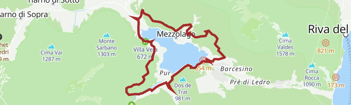
Open route APT Madonna di Campiglio, Pinzolo, Val RendenaWalking around Lake Ledro
A lap of Lake Ledro past the pile-dwelling site and the woods of Pur; the section between Molina and Pur uses a narrow road with traffic and no pavement.
- 9.5 km
- Distance
- 54 m
- Ascent
- 2 h 21 min
- Duration
- 49
- Check-ins
Open route Garda TrentinoAttorno al Monte Tremalzo
A high circuit around Monte Tremalzo, the mountain that closes off the Tremalzo basin above the Valle di Ledro.
- 12.0 km
- Distance
- 880 m
- Ascent
- 5 h 48 min
- Duration
- 46
- Check-ins
Lago di Ledro - Lago di Idro
A long ride from the Ledro valley over the Passo dell'Ampola, then down the hairpins into Valle del Chiese to the lake at Idro.
- 51.9 km
- Distance
- 992 m
- Ascent
- 5 h 32 min
- Duration
- 14
- Check-ins
- Passo dell'Ampola 747 m
- Info Point Gardatrentino 663 m
- Locanda Ampola 728 m
- Riagra 753 m
- Azienda agricola Pinabel 702 m
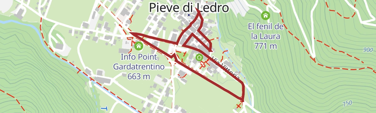
Open route Garda TrentinoPieve - Memories on show
A flat walk through the streets of Pieve, seat of the valley since it held the parish church, following the permanent photographic display on its past.
- 1.6 km
- Distance
- 10 m
- Ascent
- 24 min
- Duration
- 4
- Check-ins
Open route Garda TrentinoDefensionsmauer
A walk along the Austro-Hungarian works above the Ponale road, built to hold Riva del Garda, now a made path for anyone interested in the Great War.
- 8.1 km
- Distance
- 597 m
- Ascent
- 3 h 55 min
- Duration
- 46
- Check-ins
Ledro Trek Low
A day trek on the lower paths close to Lake Ledro, linking lakeside viewpoints and villages without going up onto the high summits.
- 18.0 km
- Distance
- 1 249 m
- Ascent
- 8 h 20 min
- Duration
- 46
- Check-ins
Ampola Storo Trail - Tour
A route from Ledro over the Corda saddle to Malga Stigolo, on cycle path and forest road below the tree line.
- 45.1 km
- Distance
- 1 693 m
- Ascent
- 5 h 36 min
- Duration
- 3
- Check-ins
- Bici Grill 418 m
- Malga Stigolo 1 281 m
- Corda 1 413 m
- Bivacco malga Stigolo 1 267 m
- Malga Monsur 1 434 m
- Passo di Giovo 1 298 m
Open route Garda TrentinoColle di Santo Stefano
A very short climb to the hill church of Santo Stefano and its marble cross, raised for the Austrian and Italian dead of the 1866 battle of Bezzecca, among later trenches.
- 1.1 km
- Distance
- 31 m
- Ascent
- 19 min
- Duration
- 2
- Check-ins
Open route Garda TrentinoChiesa di San Giovanni
A climb from the small church of San Giovanni to the Arcioni bivouac and its narrow viewing terrace above the Valle di Ledro.
- 4.7 km
- Distance
- 549 m
- Ascent
- 3 h 16 min
- Duration
- 40
- Check-ins
Cima Bal e Cima Nara
A route across the Leano and Guil pastures to Cima della Nara and Cima al Bal, looking down over the Valle di Ledro and its lake.
- 14.2 km
- Distance
- 1 119 m
- Ascent
- 7 h 14 min
- Duration
- 34
- Check-ins
The Lost Tale - The enchanted forest
A loop from the Tremalzo visitor centre up through pasture into forest and back on a forest road, with wooden installations, panels and an app-based game for children.
- 3.1 km
- Distance
- 142 m
- Ascent
- 1 h 4 min
- Duration
- 2
- Check-ins
Open route Garda TrentinoLakeside walk
A shoreline walk at Lake Ledro, turquoise and among the cleanest in Trentino; lowering its level in 1929 exposed Bronze Age piles, now shown at the Pile-Dwelling Museum.
- 9.8 km
- Distance
- 259 m
- Ascent
- 2 h 57 min
- Duration
- 31
- Check-ins
Open route Garda TrentinoMonte Corno: the balcony above Lake Ledro
A climb to Monte Corno, a balcony with an all-round outlook over Lake Ledro and the ridges that enclose it.
- 14.3 km
- Distance
- 1 067 m
- Ascent
- 6 h 59 min
- Duration
- 26
- Check-ins
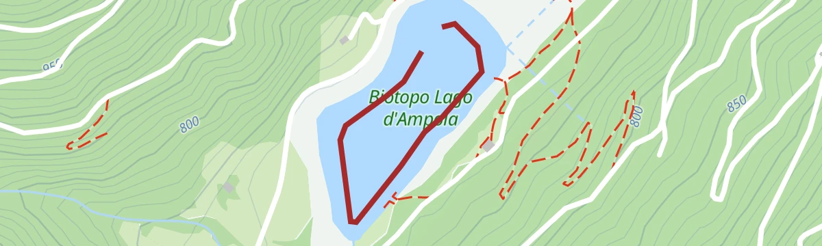
Open route Garda TrentinoLago d'Ampola, Alto Chiese
A very short, level walk at Lake Ampola, the protected reed-fringed pond above Tiarno di Sopra at the head of the Alto Chiese.
- 810 m
- Distance
- 0 m
- Ascent
- 11 min
- Duration
- 1
- Check-ins
Giro della Madonnina di Besta
A loop above the Valle di Ledro to the small hilltop shrine of the Madonnina di Besta, mostly through woods.
- 6.5 km
- Distance
- 437 m
- Ascent
- 2 h 57 min
- Duration
- 27
- Check-ins
Open route Garda Trentino
No routes of this kind in Ledro yet.
The region's own picks

Featured route
View from Tremalzo
A walk on the Tremalzo ridge above Ledro, botanically rich with plants found nowhere else.
Planning a trip to Ledro?
Everything else Trentino-Alto Adige/Südtirol has, in one place


Take Ledro with you into the mountains
Every route on this page with 3D terrain, GPX navigation and offline maps — including the valleys with no signal.
Data sources
- Official website: gardatrentino.it ↗
- Routes and highlights: Garda Trentino, Visit Trentino, Italia.it, APT Madonna di Campiglio, Pinzolo, Val Rendena, Visitbrescia
- Published as open data by the tourist boards named above.
- Region summary generated from the board's own material.
