
/media/resize/1024x576c/3303115)
 Cable car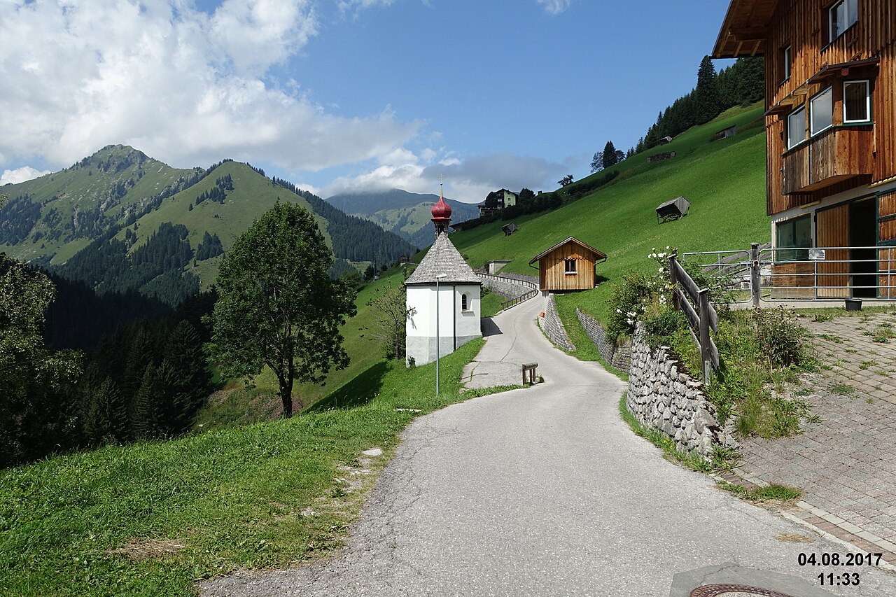
 Historic site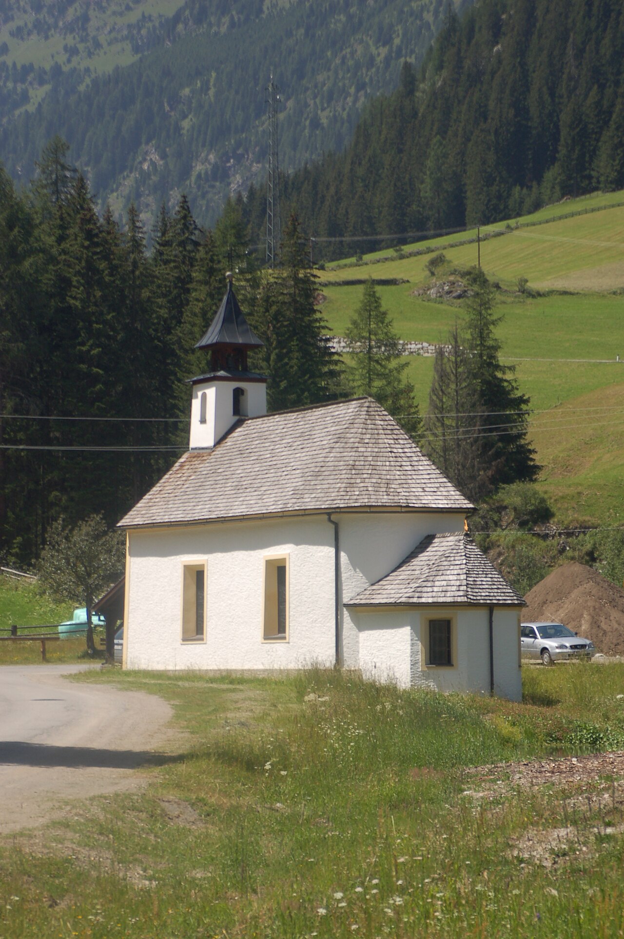
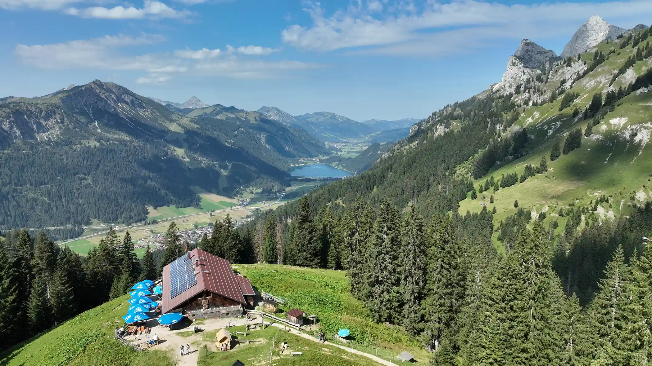
 Mountain hut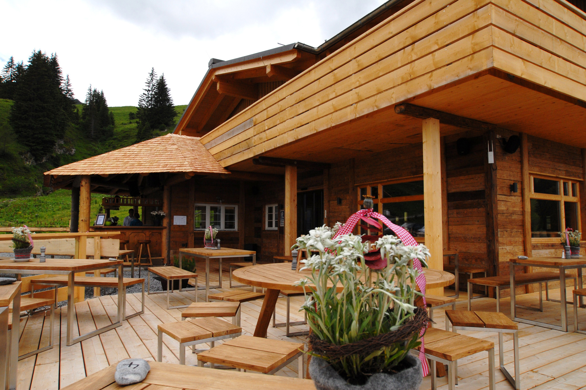




Curated by Naturparkregion Reutte
Lechaschau
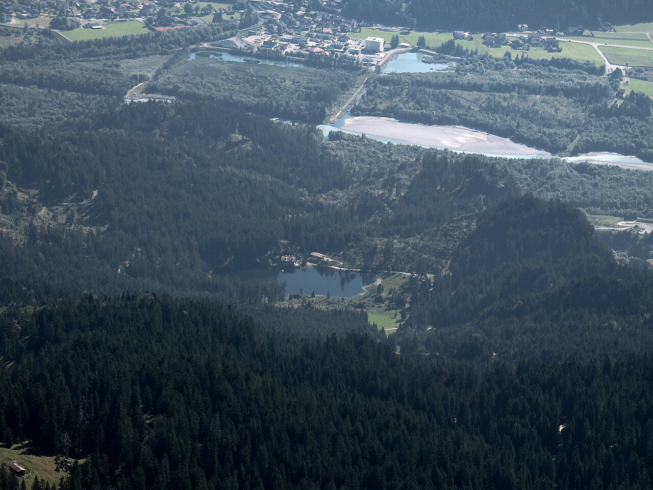
Across the Lech bridge from Reutte, the district's smallest municipality by area, with the Frauensee bathing lake in the woods above the village.
Photo: Kauk0r · CC BY-SA 3.0 licence
- 2Highlights
- 11Routes
- Featured summit · Kalvarienberg
Highlights
13 from neighbouring places
Frauensee
A secluded bathing lake in the woods near Lechaschau above Reutte, a quiet swimming and walking destination in the nature park region.
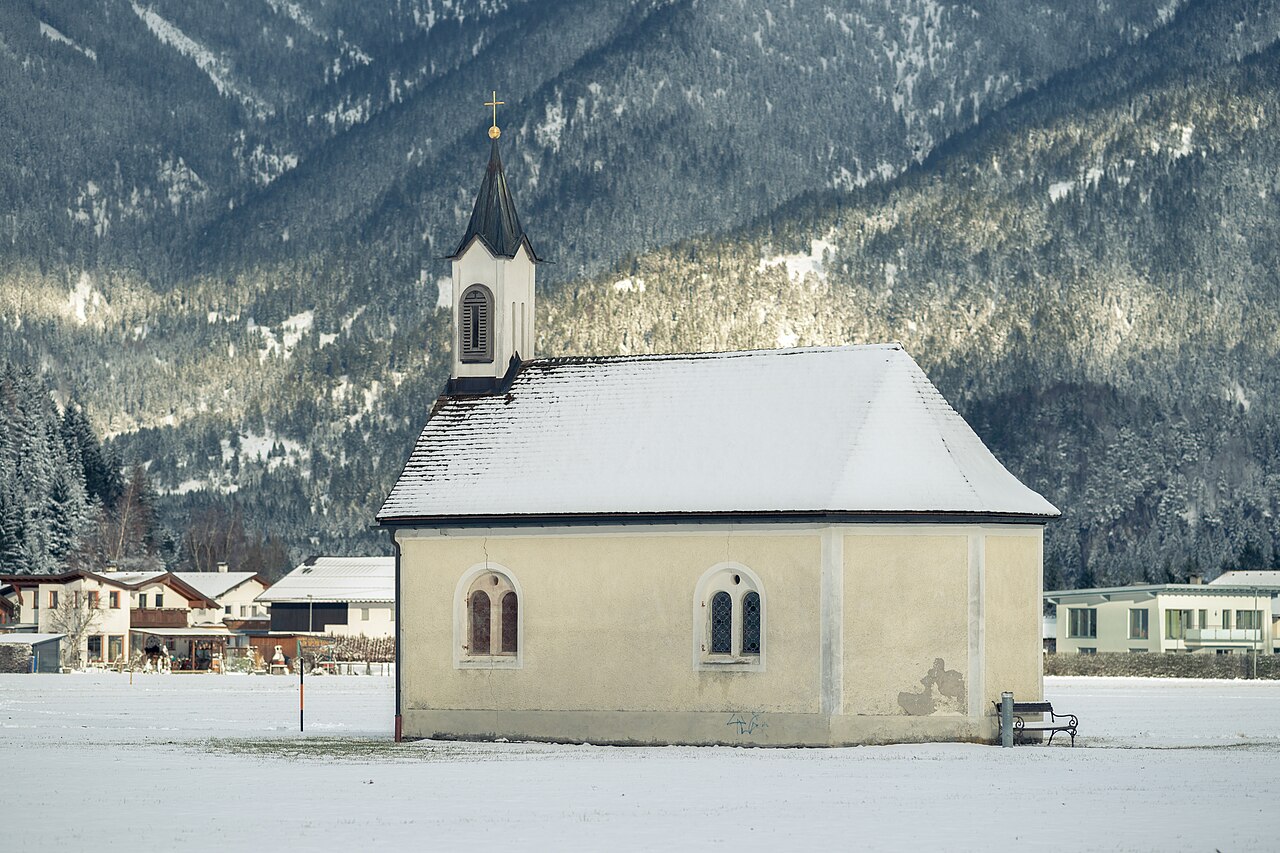
Ottilienkapelle
A chapel dedicated to St Ottilia at Lechaschau near Reutte, part of the dense network of chapels in the Lech valley villages.
Panoramahotel Talhof
1.5 km away, in Wängle
A hotel at Wängle above the Reutte basin, a partner establishment of the Tiroler Lech nature park with views across the valley.
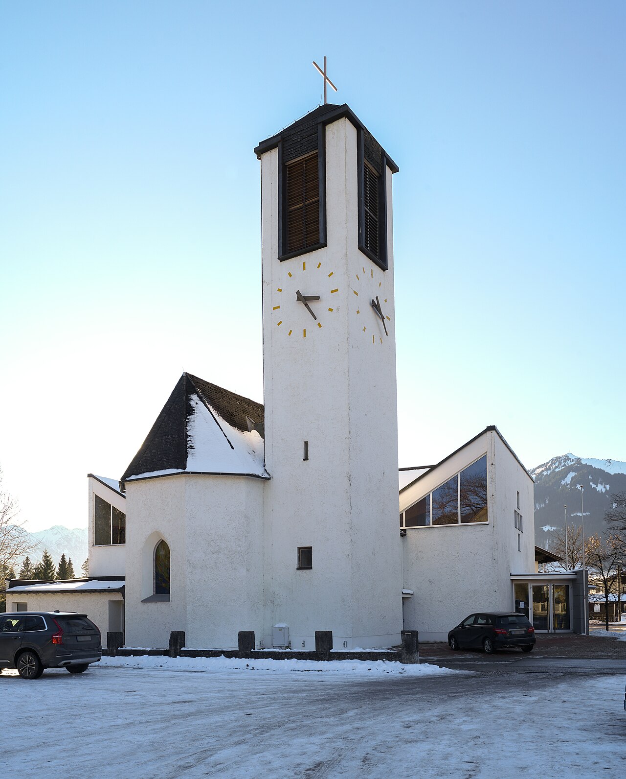
Hl.-Geist-Kirche
1.9 km away, in Reutte
The parish church of Lechaschau, dedicated to the Holy Spirit, standing across the Lech from the market town of Reutte.
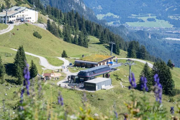
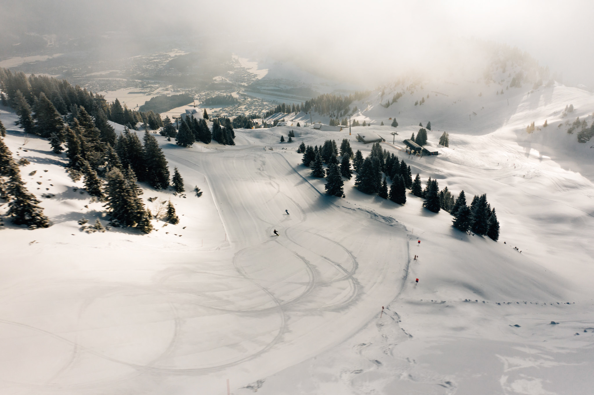
Bergwelt Hahnenkamm
2 km away, in Höfen
A lift-served walking area on the Hahnenkamm above the Reutte basin, with panoramic trails and an alpine flower garden near the top station.
Marienkapelle
2.3 km away, in Ehenbichl
A small chapel dedicated to the Virgin Mary in Höfen near Reutte, one of many wayside churches in the Naturparkregion Reutte.
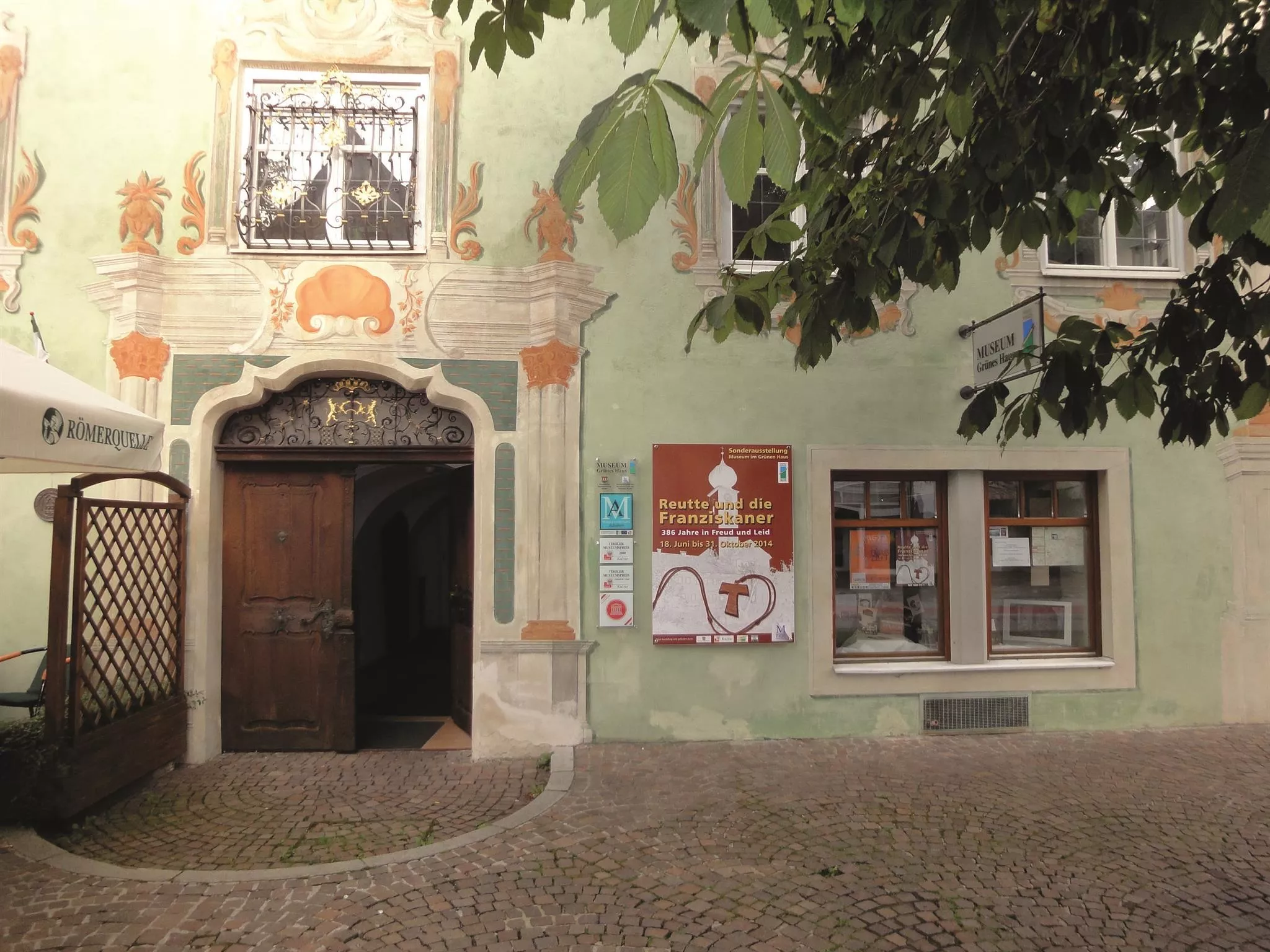
Museum im "Grünen Haus"
2.4 km away, in Reutte
The regional museum in Reutte's Green House, a historic painted town house with collections on the art and history of the Ausserfern district.
Mariahilf Kapelle
2.5 km away, in Pflach
A Mariahilf chapel at Pflach near Reutte, a small Marian devotional building beside the paths through the Lech valley floor.
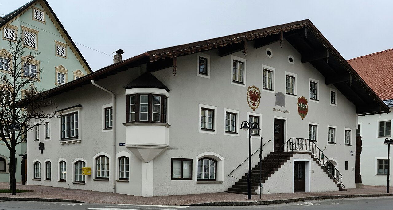
Marktgemeindeamt und Nagelsäule
2.6 km away, in Reutte
Reutte's market-town hall with the Nagelsäule, a First World War column into which donors drove nails to fund relief for soldiers' families.
Bergwelt Hahnenkamm | Sommerbergbahn
2.7 km away, in Höfen
A summer gondola from Höfen up the Hahnenkamm, Reutte's local mountain, giving access to walking trails and an alpine flower garden.
Lechaschauer Alm
2.9 km away, in Wängle
An alpine pasture hut on the slopes above Lechaschau near Reutte, serving refreshments to walkers in the Naturparkregion Reutte.
Cilli Hütte
3.2 km away, in Höfen
A small hut in the Hahnenkamm area above Höfen, a stop for skiers and walkers in the mountains near Reutte.
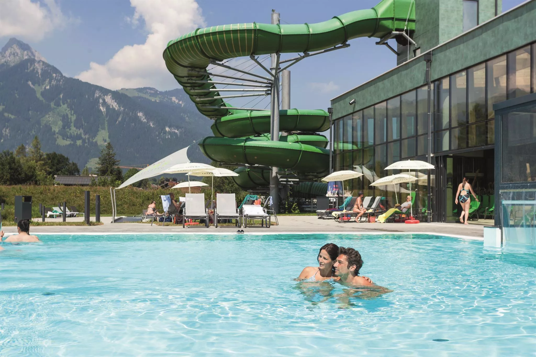
Alpentherme Ehrenberg
3.3 km away, in Reutte
An indoor pool and wellness complex near the Ehrenberg castle ensemble at Reutte, a family swimming option at the mouth of the Lechtal.
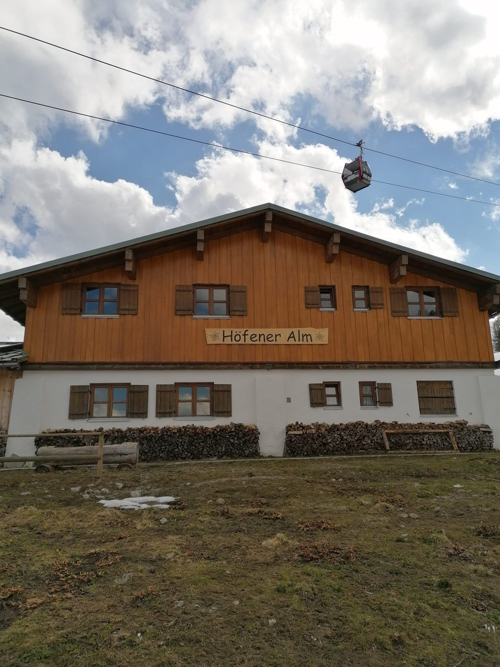
Höfener Alm
3.4 km away, in Höfen
A pasture hut on the Hahnenkamm slopes above Höfen, serving food to walkers in summer and skiers in winter.
Schneetalalm
3.5 km away, in Wängle
A hut in the Schneetal high above Höfen, part of the Hahnenkamm mountain area near Reutte, serving walkers and skiers.
Nothing of this kind in Lechaschau.
Routes
Rundwanderung Costarieskapelle
Wooded loop from the Langtennen lift car park to the chapel above the Frauensee, with a lakeside stop at the Frauenseestube on the way round.
- 5.5 km
- Distance
- 350 m
- Ascent
- 2 h 23 min
- Duration
- 7
- Check-ins
Wanderung zum Frauensee
Gentle hike from Lechaschau to the Frauensee, a small swimming lake in the forest with the Frauenseestube for refreshments on its shore.
- 8.0 km
- Distance
- 191 m
- Ascent
- 2 h 20 min
- Duration
- 7
- Check-ins
Lechweg - Klassische Variante - Etappe 7 - Wängle bis Füssen
Final classic Lechweg stage from Wängle over the Kalvarienberg and Hutlersberg, past the hidden Frauensee and through the Kniepass to Füssen, where the river leaves the Alps; a long day with a wide panorama over the Reutte basin.
- 24.6 km
- Distance
- 788 m
- Ascent
- 7 h 50 min
- Duration
- 27
- Check-ins
Frauensee - Feuerköpfle | MTB Tour
A climb above Lechaschau in the Lech valley, passing the lake at 972 m and reaching the Sulztaler Hütte at 1,420 m.
- 13.9 km
- Distance
- 673 m
- Ascent
- 1 h 53 min
- Duration
- 8
- Check-ins
Zum Alatsee | MTB Tour
A mostly flat mountain-bike run from the Lech valley over the Vilser Scharte to the Alatsee, past the Bärenfalle and the Weißwand crag.
- 28.1 km
- Distance
- 345 m
- Ascent
- 2 h 49 min
- Duration
- 5
- Check-ins
Rundwanderung Lechaschau - Wängle
Flat, easy loop linking Lechaschau and Wängle across the valley floor, on quiet lanes and field paths west of the Lech.
- 6.4 km
- Distance
- 67 m
- Ascent
- 1 h 40 min
- Duration
Gipfelrundwanderung Hahlekopf & Gehrenjoch
Long ridge circuit above the Frauensee taking in the Hahlekopf and the Gehrenjoch, with the Gehrenalpe and the little Hahlehütte as waypoints on 1,350 m of climbing.
- 15.6 km
- Distance
- 1 355 m
- Ascent
- 8 h 34 min
- Duration
- 26
- Check-ins
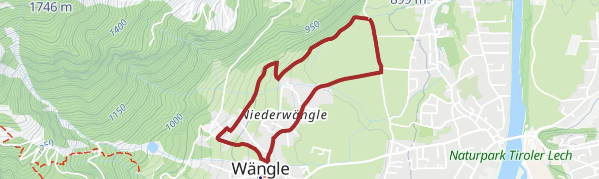
Rundwanderung Niederwängle - Wängle
Simple village loop between Niederwängle and Wängle on field paths above the Reutte basin; barely 60 m of climbing and done in under an hour.
- 3.1 km
- Distance
- 62 m
- Ascent
- 53 min
- Duration
Lechweg - Gemütliche Variante - Etappe 7 - Weißenbach bis Pflach
Relaxed-gradient but long Lechweg stage from Weißenbach past Reutte to Pflach, detouring by the woodland Frauensee; river dams and gravel banks set the tone.
- 19.0 km
- Distance
- 349 m
- Ascent
- 5 h 21 min
- Duration
- 7
- Check-ins
Wiesenwanderung Höfen - Wängle
Level meadow paths link Höfen with neighbouring Wängle, passing a Jausenstation for refreshments — an unhurried walk across the valley floor.
- 5.9 km
- Distance
- 154 m
- Ascent
- 1 h 46 min
- Duration
Winkl Rundwanderung bei Wängle
Quiet loop through the Winkl area outside Wängle, wandering hamlet lanes and meadows with views over the Reutte valley basin; flat enough for everyday shoes.
- 3.5 km
- Distance
- 94 m
- Ascent
- 1 h 4 min
- Duration
No routes of this kind in Lechaschau yet.
The region's own picks

Featured route
Rundwanderung Costarieskapelle
Wooded loop from the Langtennen lift car park to the chapel above the Frauensee, with a lakeside stop at the Frauenseestube on the way round.
Planning a trip to Lechaschau?
Everything else Tyrol has, in one place


Take Lechaschau with you into the mountains
Every route on this page with 3D terrain, GPX navigation and offline maps — including the valleys with no signal.
Data sources
- Official website: reutte.com ↗
- Routes and highlights: Naturparkregion Reutte, Lechtal Tourismus
- Published as open data by the tourist boards named above.
- Region summary generated from the board's own material.
