
 Historic site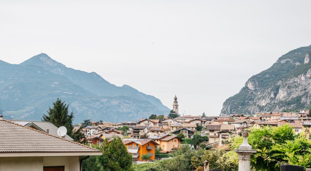





















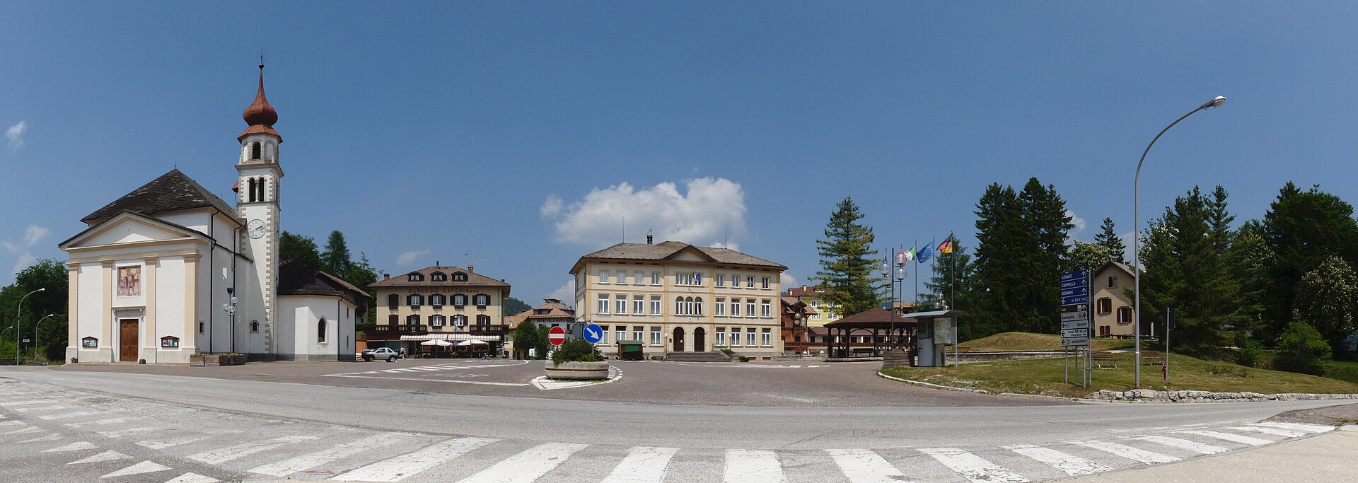
Curated by Azienda per il Turismo Alpe Cimbra
Lavarone
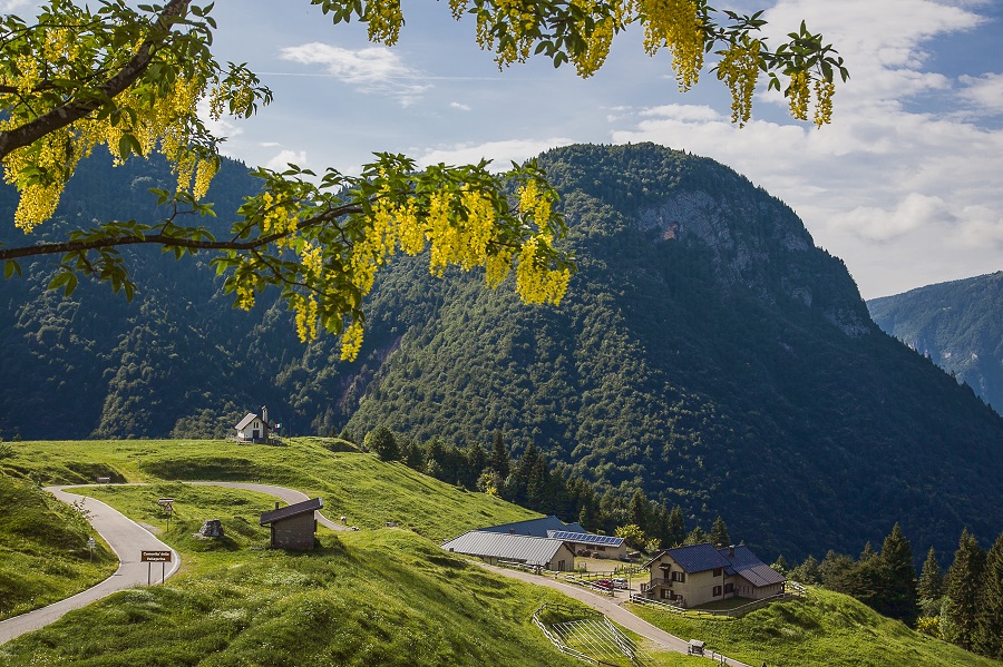
A plateau of hamlets and a small lake south-east of Trento, with Austro-Hungarian forts and the Cimone above.
- 10Highlights
- 67Routes
- Featured summit · Cima Vezzena
Highlights
All 10 from neighbouring places
Chiesetta di Santa Zita
4.5 km away, in Levico Terme
A small chapel above Levico Terme, on the path up towards the Panarotta.
Riserva naturale della Scanuppia
10.8 km away, in Besenello
A reserve of fir forest and pasture on the Vigolana slopes above Besenello.
Forra del Lupo
12.6 km away, in Terragnolo
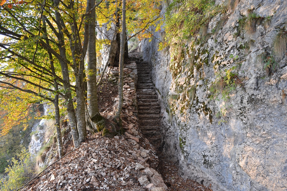
A restored Austrian trench line cut along a gorge wall above Terragnolo, walkable end to end.
Malga Borcola
13.7 km away, in Terragnolo
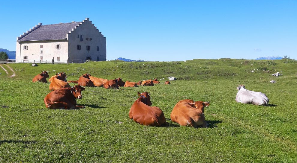
A dairy hut at the Borcola pass above Terragnolo, on the old Tyrolean frontier.
Besenello, am Fuße der Burg Beseno
13.9 km away, in Besenello
The village of Besenello, at the foot of the Beseno castle ridge in the Vallagarina.
Besenello, ai piedi di Castel Beseno
13.9 km away, in Besenello
Besenello, on the Adige floor below the long ridge that carries Castel Beseno.
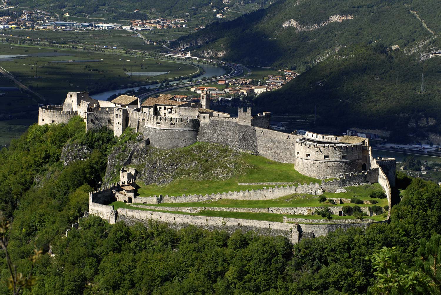
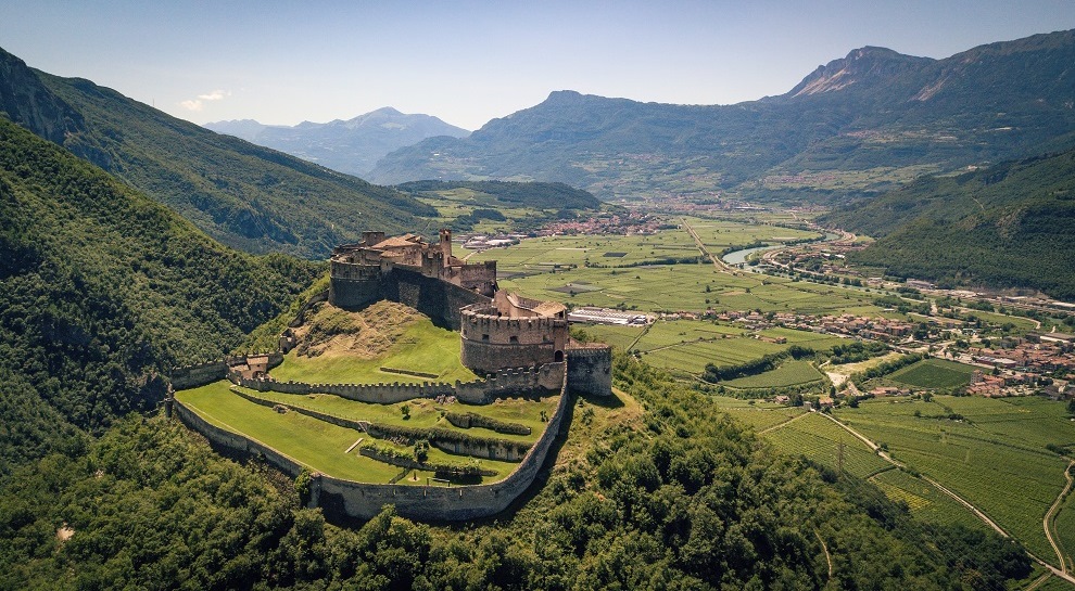
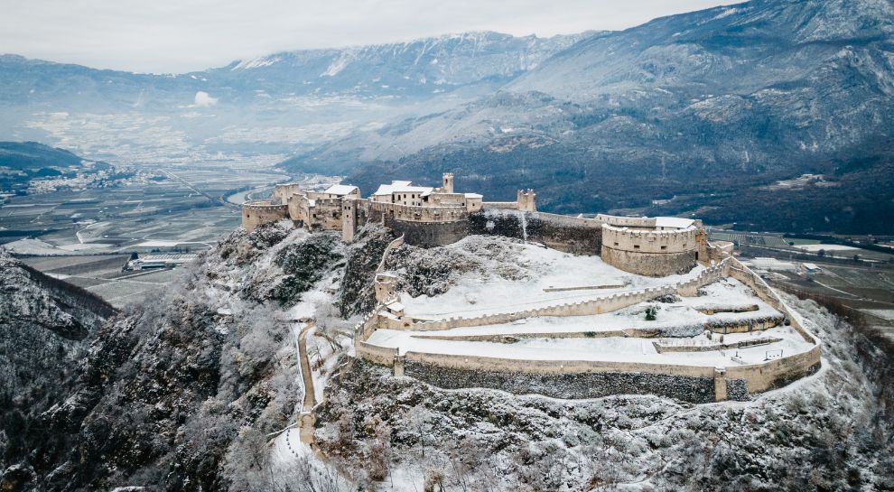
Castel Beseno
13.9 km away, in Besenello
The largest fortified complex in Trentino, spread along a ridge above the Adige, held by the Trapp for centuries.
Die Burg von Beseno
13.9 km away, in Besenello
Castel Beseno above the Adige, its walls following the whole crest of the ridge.
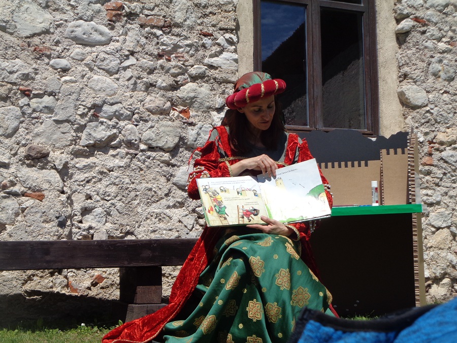
Castel Beseno per bambini
13.9 km away, in Besenello
Castel Beseno's family route, with armour to handle and the tournament ground to walk.
Nothing of this kind in Lavarone.
Routes
50 routes, an even mix of activities · see the rest on alpecimbra.it ↗
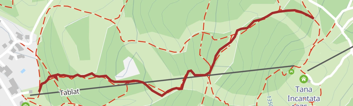
3 - Tablat Loop
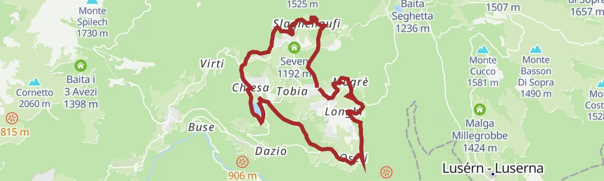
A loop on rural roads across the Tablat pastures and spruce woods, with Cima Vézzena on the skyline and the San Rocco chapel at Magrè.
- 4.4 km
- Distance
- 148 m
- Ascent
- 1 h 23 min
- Duration
- 37
- Check-ins
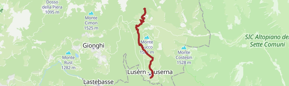
Open route Azienda per il Turismo Alpe Cimbra831 - Lusérn - Virgo Maria - Milegruam
A route through the fir woods and pastures of the Cimbrian plateau, linking Malga Campo, the Baita del Neff and Malga Millegrobbe.
- 12.4 km
- Distance
- 359 m
- Ascent
- 3 h 48 min
- Duration
- 31
- Check-ins
 Monte Cucco 1 581 m
 Khesar von Kåmp - Malga Campo 1 455 m
- Baita del Neff 1 549 m
- Malga Millegrobbe di sopra 1 469 m
- Malga Costalta 1 546 m
Open route Azienda per il Turismo Alpe CimbraSentiero della Pace 24: Luserna to Monterovere
A stage of the peace path from Luserna over Cima Vezzena and the Passo Vezzena, passing Malga Campo on the way to Monterovere.
- 21.8 km
- Distance
- 809 m
- Ascent
- 7 h 12 min
- Duration
- 103
- Check-ins
- Cima Vezzena 1 908 m
 Passo Vezzena 1 402 m
- Khesar von Kåmp - Malga Campo 1 455 m
- Baita SAT Cangi 1 370 m
Open route Azienda per il Turismo Alpe CimbraPINA COLADA - Lavarone Bike Park
A short, easy run through the bike park at Bertoldi on the plateau, just over a kilometre from the start down to Tablat.
- 1.1 km
- Distance
- 0 m
- Ascent
- 10 min
- Duration
- 4
- Check-ins
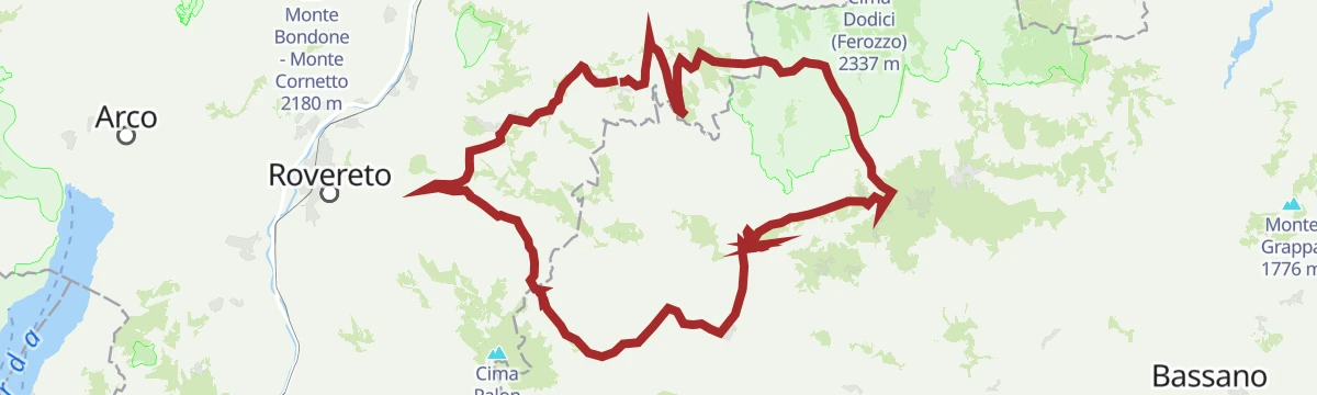
Open route Azienda per il Turismo Alpe Cimbra851 - Alpe Cimbra Tour
A long tour from the Alpe Cimbra down to the valley floor and back up, by the Vezzena pass.
- 63.1 km
- Distance
- 2 308 m
- Ascent
- 7 h 47 min
- Duration
- 104
- Check-ins
- Cima Norre 1 453 m
- Passo Vezzena 1 402 m
- Khesar von Kåmp - Malga Campo 1 455 m
- Malga Faé -Malga Doss del Bue 1 031 m
- Albergo Bar Ristorante Sindech 1 108 m
- Valico della Fricca 1 110 m
- +6
Open route Azienda per il Turismo Alpe CimbraFat Bike Lavarone - Millegrobbe - Forte Lusérn
An easy tour across the open pastures at Millegrobbe, climbing gently past the malga on the way up towards the fort above Luserna.
- 5.7 km
- Distance
- 136 m
- Ascent
- 38 min
- Duration
- 8
- Check-ins
Open route Azienda per il Turismo Alpe CimbraFat Bike Lavarone - From Bertoldi to Vézzena Pass
A gradual climb from Bertoldi to the Passo Vézzena at 1,402 m, going by Malga Palù and the Baita SAT Cangi.
- 9.1 km
- Distance
- 376 m
- Ascent
- 1 h 5 min
- Duration
- 32
- Check-ins
Open route Azienda per il Turismo Alpe CimbraFolgaria - Caldonazzo - Kaiserjaegerweg - Vezzena Pass - Luserna - Lavarone - Folgaria
A hard circuit from Folgaria down to Caldonazzo, then the Kaiserjägerweg up to the Vezzena pass.
- 62.2 km
- Distance
- 2 140 m
- Ascent
- 7 h 33 min
- Duration
- 90
- Check-ins
- Passo Vezzena 1 402 m
- Passo del Cost 1 290 m
- Albergo Bar Ristorante Sindech 1 108 m
- Valico della Fricca 1 110 m
- Passo Sommo 1 341 m
- Chalet Passo Sommo 1 348 m
- +4
Open route Azienda per il Turismo Alpe Cimbra5 - Tour of the Tablat
A climb out of Magré onto the Tablat, where the ground eases into meadow, pasture and wood with a wide view over the Alpe Cimbra.
- 4.1 km
- Distance
- 150 m
- Ascent
- 1 h 20 min
- Duration
- 37
- Check-ins
Open route Azienda per il Turismo Alpe Cimbra2 - Hüttn Tour
A walk over the Millegrobbe pastures to the ruins of Forte Lusérn, returning by the Cimbrian imaginary trail with its carved forest figures.
- 8.4 km
- Distance
- 197 m
- Ascent
- 2 h 28 min
- Duration
- 26
- Check-ins
Open route Azienda per il Turismo Alpe CimbraSentiero della Pace 23: Lavarone to Luserna
A long, almost level stage of the Peace Path from Lavarone to Lusérna, taking in the Lavarone fort and its museum of military architecture.
- 18.4 km
- Distance
- 578 m
- Ascent
- 5 h 33 min
- Duration
- 51
- Check-ins
- Passo de la Sotan 1 350 m
- Passo del Cost 1 290 m
- Malga Tablat 1 341 m
- Malga Laghetto 1 195 m
- Baita Mira 1 359 m
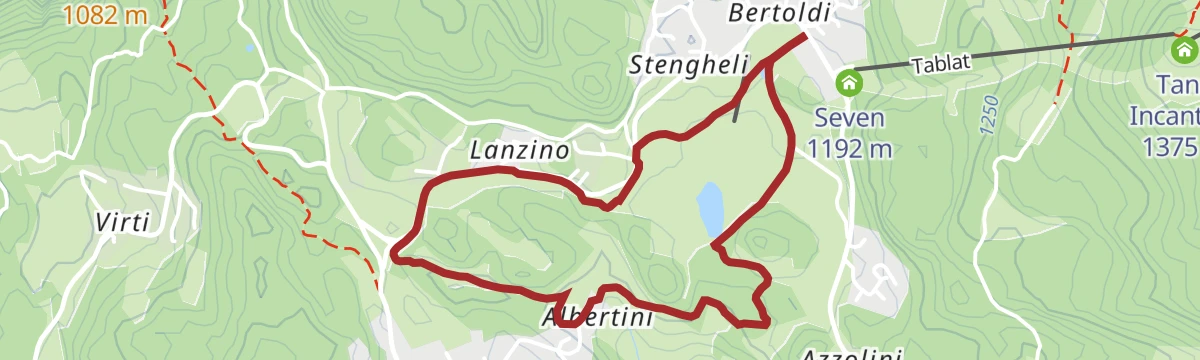
Open route Azienda per il Turismo Alpe Cimbra822 - Bertoldi - Lanzino - Albertini
A short ride from Bertoldi over meadow and pasture to Lanzino, a tight row of houses each painted a different colour, and on to Albertini.
- 3.7 km
- Distance
- 51 m
- Ascent
- 23 min
- Duration
Open route Azienda per il Turismo Alpe Cimbra842 - 100 Km dei Forti - Folgaria
The Folgaria ring of the 100 Km dei Forti circuit, over the Coe and Sommo passes by Forte Cherle.
- 52.7 km
- Distance
- 1 687 m
- Ascent
- 6 h 16 min
- Duration
- 86
- Check-ins
- Dosso delle Somme 1 670 m
- Monte Rust 1 282 m
- Passo Coe 1 610 m
- Passo Sommo 1 341 m
- Hotel Forte Cherle 1 417 m
- Chalet Passo Sommo 1 348 m
- +6
Open route Azienda per il Turismo Alpe Cimbra824 - Cappella - Nicolussi - Masi di Sotto - Villanova
An easy family ride from the Parco Palù playground at Lavarone Cappella out to Nicolussi, Masi di Sotto and Villanova, past old hand-dug fountains.
- 2.9 km
- Distance
- 65 m
- Ascent
- 19 min
- Duration
Open route Azienda per il Turismo Alpe CimbraLavarone - Serrada - Passo Borcola - Arsiero - Pedescala - Rotzo - Luserna - Gionghi
A very long day along the Trentino-Veneto boundary, taking in the Sella di Serrada, the Passo Borcola and the Passo Vezzena.
- 116.2 km
- Distance
- 3 247 m
- Ascent
- 13 h 22 min
- Duration
- 80
- Check-ins
- Passo Vezzena 1 402 m
- Passo del Cost 1 290 m
- Passo Sommo 1 341 m
- Chalet Passo Sommo 1 348 m
- Sella di Serrada 1 250 m
- Ristorante all'Antico Termine 1 295 m
- +5
Open route Azienda per il Turismo Alpe CimbraTour of the Chimneys
A short walk among First World War remains on the Lavarone plateau, easily combined with Fort Belvedere Gschwent and its fortifications museum.
- 4.4 km
- Distance
- 178 m
- Ascent
- 1 h 28 min
- Duration
- 19
- Check-ins
Open route Azienda per il Turismo Alpe CimbraSulle Tracce dell’Orso – On the Bear Tracks
A walk through the fields and woods around Luserna, a Cimbrian village whose Documentation Centre keeps an exhibition on local wildlife.
- 10.8 km
- Distance
- 334 m
- Ascent
- 3 h 20 min
- Duration
- 13
- Check-ins
- Monte Cucco 1 581 m
- Baita del Neff 1 549 m
- Malga Millegrobbe di sopra 1 469 m
- Malga Costalta 1 546 m
Open route Azienda per il Turismo Alpe Cimbra840 - Zimbarlant Tour
A circuit through the Cimbrian country around Luserna/Lusérn, dropping to Malga Laghetto and crossing the Passo Vezzena on the way back.
- 21.3 km
- Distance
- 573 m
- Ascent
- 6 h 24 min
- Duration
- 45
- Check-ins
- Cima Norre 1 453 m
- Passo Vezzena 1 402 m
- Malga Laghetto 1 195 m
- Malga Palù 1 380 m
- Chalet Spitz 1 420 m
- Malga Busa Biseletto 1 416 m
- +1
Open route Azienda per il Turismo Alpe Cimbra844 - 100 Km dei Forti - Lusern
A long round on the tracks and dirt roads of the Luserna terrace, over the Vezzena pass and Malga Campo.
- 38.9 km
- Distance
- 1 079 m
- Ascent
- 4 h 28 min
- Duration
- 77
- Check-ins
- Cima Norre 1 453 m
- Monte Cucco 1 581 m
- Passo Vezzena 1 402 m
- Khesar von Kåmp - Malga Campo 1 455 m
- Baita del Neff 1 549 m
- Malga Millegrobbe 1 424 m
- +4
Open route Azienda per il Turismo Alpe CimbraFolgaria - Val d'Astico - Pedescala - Roana - Roana small lake - Vezzena Pass - Lavarone
A long road circuit from Folgaria over the Sommo pass into the Astico valley, returning by the Vezzena pass.
- 87.3 km
- Distance
- 2 240 m
- Ascent
- 9 h 51 min
- Duration
- 77
- Check-ins
- Passo Vezzena 1 402 m
- Passo del Cost 1 290 m
- Passo Sommo 1 341 m
- Chalet Passo Sommo 1 348 m
- Ristorante all'Antico Termine 1 295 m
- Malga Rivetta 1 355 m
- +4
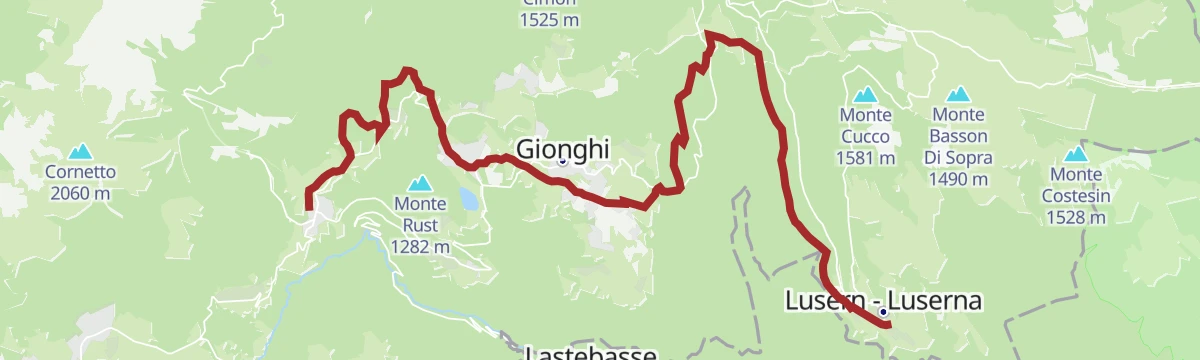
Open route Azienda per il Turismo Alpe CimbraLavarone Green Land - Drago Vaia - Departure from Frazione Gionghi
A short walk from Gionghi to the Drago Vaia, a charred wood dragon carved by Marco Martalar from roots left by the Vaia storm.
- 2.1 km
- Distance
- 205 m
- Ascent
- 53 min
- Duration
- 18
- Check-ins
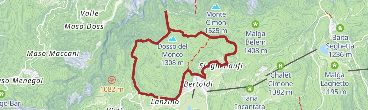
Open route Azienda per il Turismo Alpe Cimbra6 - Tomazol Circuit
A circuit above Lake Caldonazzo by way of the painted houses of Lanzino, the Slaghenaufi war cemetery and the hamlets of Bertoldi and Sténgheli.
- 7.9 km
- Distance
- 261 m
- Ascent
- 2 h 30 min
- Duration
- 7
- Check-ins
Open route Azienda per il Turismo Alpe CimbraEtappe 14 Lusern/Luserna
A stage setting off from the village square of Luserna, passing the church and the hamlet of Masetti to Malga Laghetto and its wetland biotope.
- 16.9 km
- Distance
- 300 m
- Ascent
- 4 h 57 min
- Duration
- 19
- Check-ins
843 - 100 Km dei Forti - Lavarone
The Lavarone part of the well-known 100 Km dei Forti bike ring, from Slaghenaufi over the Cost pass to Forte Belvedere, the lake and Monte Rust.
- 23.5 km
- Distance
- 606 m
- Ascent
- 2 h 40 min
- Duration
- 20
- Check-ins
Open route Azienda per il Turismo Alpe CimbraFolgaria - Lavarone - Passo Vezzena - Luserna
A panoramic round by Lavarone and the Vezzena pass, its one real effort the climb back to the Passo Sommo.
- 52.5 km
- Distance
- 1 280 m
- Ascent
- 5 h 52 min
- Duration
- 65
- Check-ins
- Passo Vezzena 1 402 m
- Passo del Cost 1 290 m
- Passo Sommo 1 341 m
- Chalet Passo Sommo 1 348 m
- Seven 1 192 m
- Chalet Spitz 1 420 m
- +1
Open route Azienda per il Turismo Alpe Cimbra1 - Trench Tour
An easy loop from Malga Millegrobbe over open pasture, signed as a Nordic walking technique route with boards along the way.
- 3.8 km
- Distance
- 72 m
- Ascent
- 1 h 4 min
- Duration
- 8
- Check-ins
Open route Azienda per il Turismo Alpe CimbraSAT / E235 - Caldonazzo - Luserna/Lusérn
A stage climbing the Val Pissavacca to Baita Cangi, then by the Slavai forest road, skirting the Malga Palù pastures towards Luserna.
- 7.5 km
- Distance
- 175 m
- Ascent
- 2 h 15 min
- Duration
- 3
- Check-ins
Open route Azienda per il Turismo Alpe CimbraTappa 14 Lusern/Luserna
A long stage across the Cimbrian plateau from Luserna, by way of Masetti and the Malga Laghetto pond, with almost nowhere to refill water.
- 16.9 km
- Distance
- 300 m
- Ascent
- 4 h 57 min
- Duration
- 19
- Check-ins
853 - From the Lake to the Mountain
A long day on the Alpe Cimbra from the shore of Lake Lavarone up over the Passo Sommo, threading the hamlets of the Oltresommo towards Folgaria.
- 23.2 km
- Distance
- 892 m
- Ascent
- 2 h 54 min
- Duration
- 19
- Check-ins
Open route Azienda per il Turismo Alpe CimbraLavarone - Luserna - Rotzo - Pedescala - Nosellari - Gionghi
A long ride over the Passo Vezzena with a gentle drop down the Val d'Assa through pasture and fir forest, then the climb back to the plateau.
- 80.0 km
- Distance
- 1 841 m
- Ascent
- 8 h 50 min
- Duration
- 59
- Check-ins
- Passo Vezzena 1 402 m
- Passo del Cost 1 290 m
- Ristorante all'Antico Termine 1 295 m
- Ristorante Ghertele 1 135 m
- Baita Laghetto 1 105 m
- Chalet Spitz 1 420 m
- +1
Open route Azienda per il Turismo Alpe Cimbra3 - Costalta circuit
A forest-road circuit from Malga Millegrobbe across the western flank of Monte Cucco, with the Brenta group on the horizon.
- 6.3 km
- Distance
- 138 m
- Ascent
- 1 h 48 min
- Duration
- 8
- Check-ins
Open route Azienda per il Turismo Alpe Cimbra4 - Tomazol Tour
A walk to the Tomazòl viewpoint above Lavarone, passing through Lanzino and the Austro-Hungarian cemetery at Slaghenaufi.
- 9.4 km
- Distance
- 288 m
- Ascent
- 2 h 55 min
- Duration
Open route Azienda per il Turismo Alpe Cimbra1 - Lavarone Trekking
A long round on rural roads linking the hamlets of Lavarone, from Bertoldi and Gionghi past the Slaghenaufi cemetery, Forte Belvedere and wayside chapels.
- 15.1 km
- Distance
- 464 m
- Ascent
- 4 h 42 min
- Duration
- 14
- Check-ins
Open route Azienda per il Turismo Alpe Cimbra832 - Lafraun Tour
A mountain-bike round of the Lavarone terrace, climbing to Slaghenaufi, traversing Monte Tablat and dropping by the Cost pass to Forte Belvedere.
- 15.1 km
- Distance
- 440 m
- Ascent
- 1 h 46 min
- Duration
- 14
- Check-ins
Open route Azienda per il Turismo Alpe CimbraLavarone - Carbonare - Pedescala - Rotzo - Roana - Passo Vézzena - Luserna - Gionghi
A long road circuit down to the Astico valley and back across the Asiago plateau, returning by the Passo Vezzena and Luserna.
- 73.5 km
- Distance
- 1 728 m
- Ascent
- 8 h 9 min
- Duration
- 58
- Check-ins
- Passo Vezzena 1 402 m
- Passo del Cost 1 290 m
- Ristorante all'Antico Termine 1 295 m
- Malga Rivetta 1 355 m
- Ristorante Ghertele 1 135 m
- Baita Laghetto 1 105 m
- +2
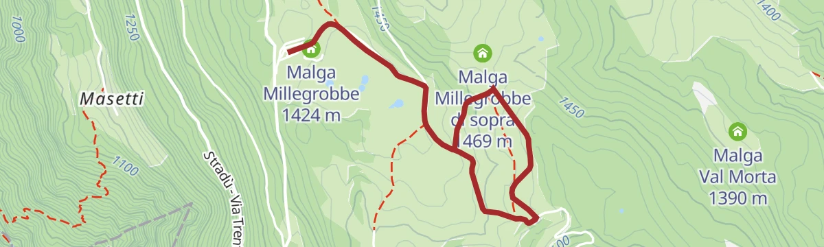
Open route Azienda per il Turismo Alpe Cimbra826 - Millegrobbe - Forte Lusérn
An easy crossing of the Vezzena grazing grounds from Malga Millegrobbe to Forte Lusérn, in the Cimbrian-speaking country around Lusérna.
- 4.9 km
- Distance
- 129 m
- Ascent
- 1 h 28 min
- Duration
- 8
- Check-ins
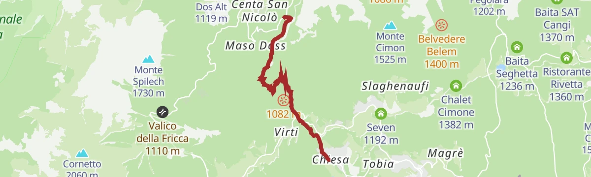
Open route Azienda per il Turismo Alpe CimbraSAT / E217 - Ancino Path - Centa Valley - Lavarone
A steep climb on a medieval mule track between the Valsugana and the Alpe Cimbra, once an imperial road, now narrow and with a stream ford.
- 5.7 km
- Distance
- 617 m
- Ascent
- 2 h 42 min
- Duration
Open route Azienda per il Turismo Alpe CimbraEtappe 13 Levico Terme
A stage starting at the large church in the middle of Levico Terme, level through the village to Santa Giuliana and on past the end of the tarmac.
- 16.1 km
- Distance
- 1 095 m
- Ascent
- 5 h 50 min
- Duration
- 4
- Check-ins
Lavarone - Folgaria - Guardia - Calliano - Aldeno - Mattarello - Carbonare - Gionghi
A big road loop from the plateau down to the Adige valley below Castel Beseno, with the climb back over the Valico della Fricca.
- 74.5 km
- Distance
- 2 045 m
- Ascent
- 8 h 32 min
- Duration
- 51
- Check-ins
- Albergo Bar Ristorante Sindech 1 108 m
- Valico della Fricca 1 110 m
- Passo Sommo 1 341 m
- Chalet Passo Sommo 1 348 m
- La Roccia 438 m
- Albergo al Bosco 922 m
- +6
Open route Azienda per il Turismo Alpe CimbraGiro del Rust
A short round on a dirt road up the north side of Monte Rust to its old optical station, looking over the upper Astico valley to Fort Cherle.
- 3.0 km
- Distance
- 103 m
- Ascent
- 57 min
- Duration
- 8
- Check-ins
Open route Azienda per il Turismo Alpe CimbraTappa 13 Levico Terme
A day stage out of Levico Terme, past its large parish church and the rural houses of Santa Giuliana, leaving the tarmac behind after a few kilometres.
- 16.1 km
- Distance
- 1 095 m
- Ascent
- 5 h 50 min
- Duration
- 4
- Check-ins
Lavarone - Carbonare - Calceranica - Caldonazzo - Monterovere - Gionghi
A road loop dropping off the plateau to the Valsugana lakes and climbing back up the Menador road, cut into the rock by the Kaiserjäger.
- 40.4 km
- Distance
- 1 347 m
- Ascent
- 4 h 51 min
- Duration
- 41
- Check-ins
- Passo del Cost 1 290 m
- Albergo Bar Ristorante Sindech 1 108 m
- Valico della Fricca 1 110 m
- Albergo al Bosco 922 m
Open route Azienda per il Turismo Alpe CimbraLago Malga Laghetto M
A circuit of the small lake at Malga Laghetto, in the peat and reed biotope of the Lavarone plateau.
- 876 m
- Distance
- 10 m
- Ascent
- 14 min
- Duration
- 8
- Check-ins
Peace Path 25: From Monterovere hotel to Caldonazzo
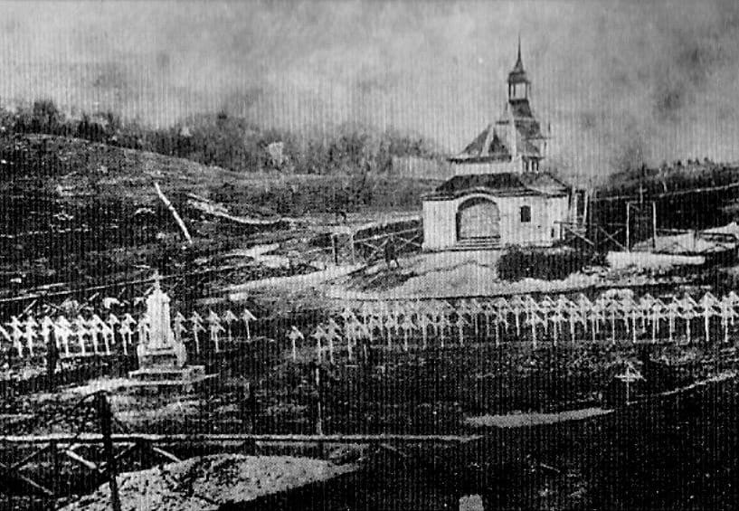
A mostly downhill Peace Trail stage from Monterovere to Caldonazzo, passing the Austrian cemetery at Slaghenaufi with its wooden crosses.
- 17.5 km
- Distance
- 271 m
- Ascent
- 5 h 29 min
- Duration
- 1
- Check-ins
Open route APT Valsugana e LagoraiLavarone - Forte Cherle - Tonezza - Arsiero
A road tour over Passo Sommo and past Forte Cherle, dropping towards Arsiero on the Veneto side before the long climb back to altitude.
- 74.1 km
- Distance
- 2 240 m
- Ascent
- 8 h 41 min
- Duration
- 39
- Check-ins
- Passo Sommo 1 341 m
- Hotel Forte Cherle 1 417 m
- Chalet Passo Sommo 1 348 m
- Ortesino 1 338 m
- Rifugio Melegnon 1 600 m
- Albergo Ristorante Chiosco Alpino 1 206 m
- +1
Open route Azienda per il Turismo Alpe CimbraLago di Lavarone T
A short circuit of Lake Lavarone, the small plateau lake used for bathing and ringed by fir woods.
- 884 m
- Distance
- 0 m
- Ascent
- 12 min
- Duration
- 8
- Check-ins
837 - Lavarone Bike Tour
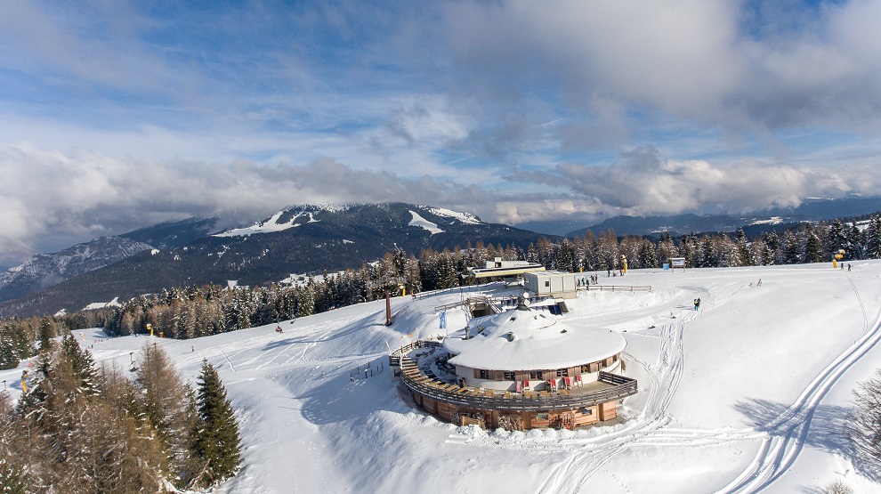
A loop round the rim of the Lavarone plateau, over Monte Tablat and past the Cangart viewpoint to the Tana Incantata mountain restaurant.
- 24.2 km
- Distance
- 665 m
- Ascent
- 2 h 47 min
- Duration
- 29
- Check-ins
Open route Azienda per il Turismo Alpe CimbraRoute of the Hospital of the Knights of Malta
A brief woodland walk on the Lavarone plateau to the site of a hospital of the Knights of Malta, explained by panels along the way.
- 559 m
- Distance
- 21 m
- Ascent
- 11 min
- Duration
- 6
- Check-ins
Open route Azienda per il Turismo Alpe CimbraRoadbike - Levico Terme - Passo Vezzena
A road climb from the valley floor to the Vezzena plateau on the old Kaiserjägerstrasse military road, ending among the cheese-making farms.
- 43.4 km
- Distance
- 1 614 m
- Ascent
- 5 h 22 min
- Duration
- 26
- Check-ins
Open route APT Valsugana e LagoraiI Giganti del Bosco – The Woods Giants
A forest walk from the stump of the Avez del Prinzep, the silver fir felled by storm in 2017, on to the Malga Laghetto wetland and the Costalta war cemetery.
- 6.4 km
- Distance
- 310 m
- Ascent
- 2 h 16 min
- Duration
- 5
- Check-ins
Open route Azienda per il Turismo Alpe Cimbra
No routes of this kind in Lavarone yet.
The region's own picks
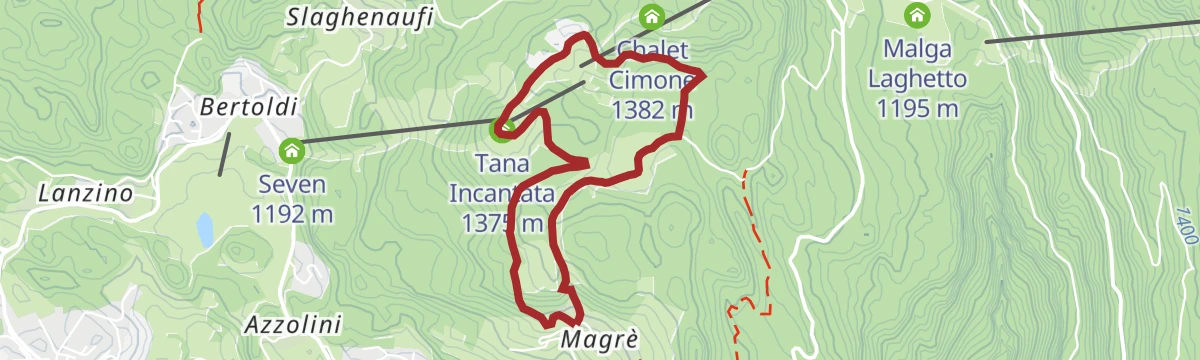
Featured route
3 - Tablat Loop
A loop on rural roads across the Tablat pastures and spruce woods, with Cima Vézzena on the skyline and the San Rocco chapel at Magrè.
Planning a trip to Lavarone?
Everything else Trentino-Alto Adige/Südtirol has, in one place


Take Lavarone with you into the mountains
Every route on this page with 3D terrain, GPX navigation and offline maps — including the valleys with no signal.
Data sources
- Official website: alpecimbra.it ↗
- Routes and highlights: Azienda per il Turismo Alpe Cimbra, Visitrovereto, E5 Alps Crossing, Visit Trentino, APT Valsugana e Lagorai, Astrotourism
- Published as open data by the tourist boards named above.
- Region summary generated from the board's own material.
