
 Mountain hut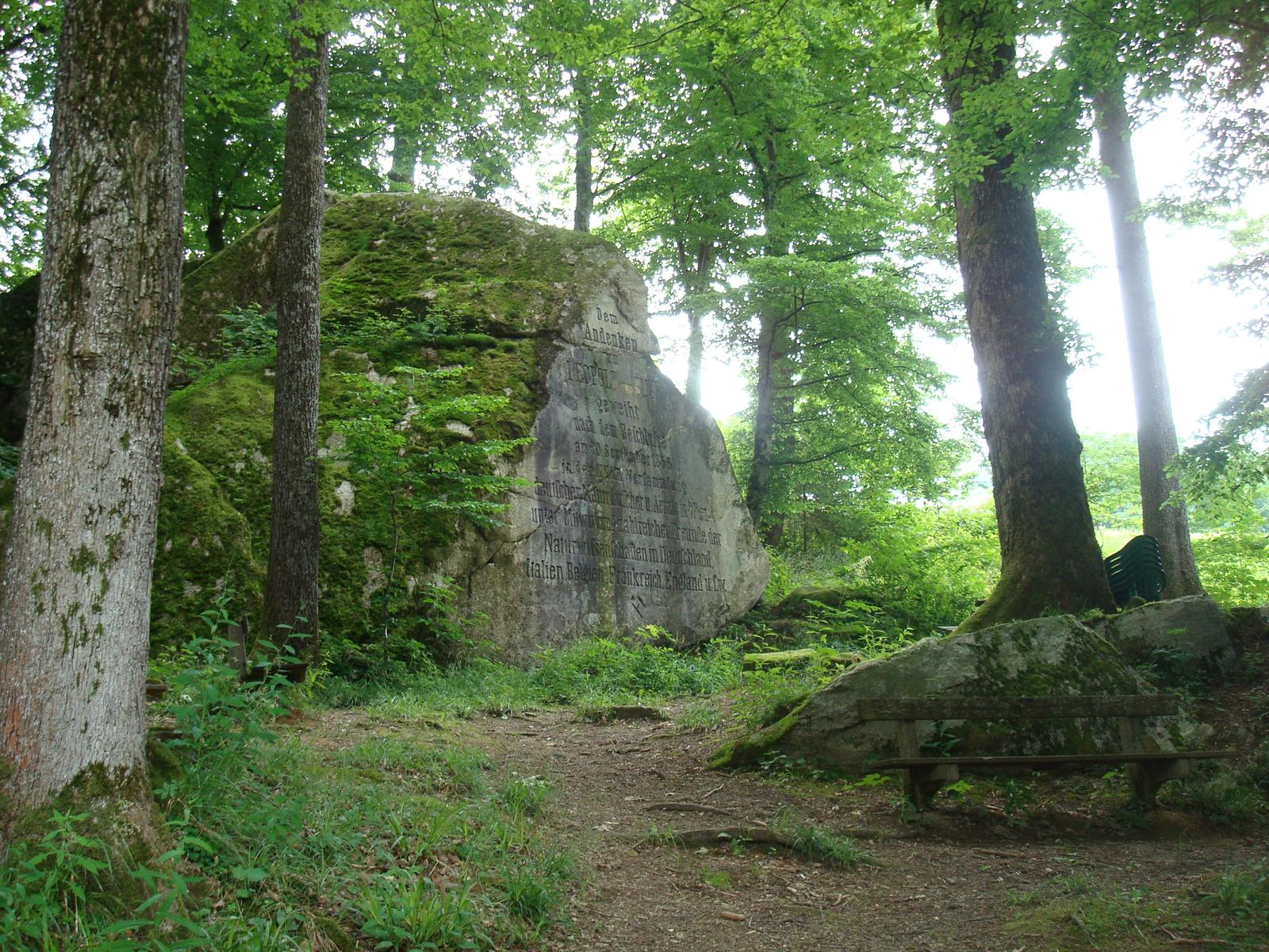
 Historic site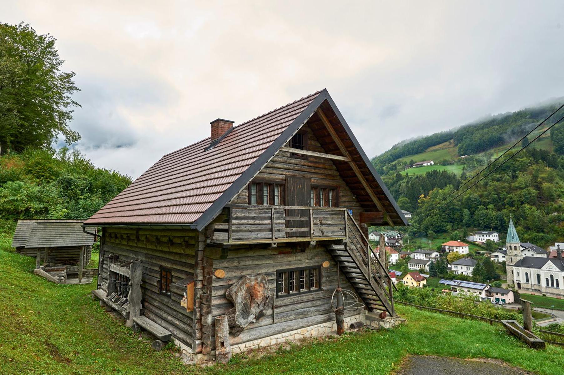
 Viewpoint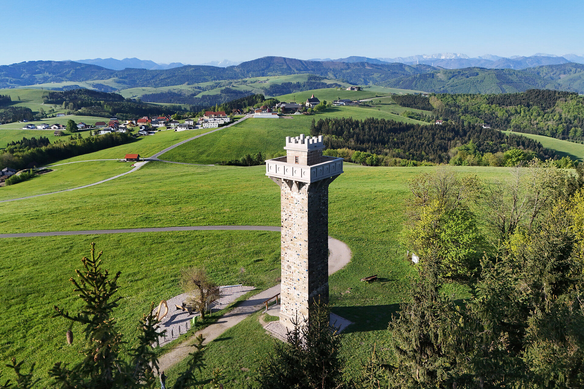







 Summit
Pöstlingberg
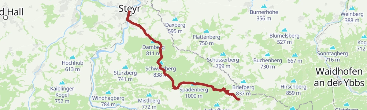
via OÖ Mariazellerweg: A: Klassischer OÖ Mariazellerweg über Steyr und Waidhofen an der Ybbs
Curated by 360alpenland
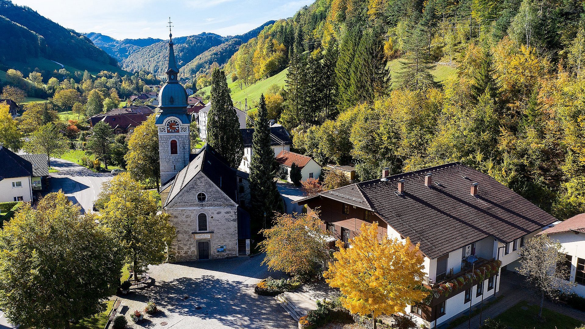
A scattered farming parish in the Eisenwurzen hills above the Enns, with sun-facing ridge circuits and an open-air pool in the village.
14 from neighbouring places
4.7 km away, in St. Ulrich bei Steyr
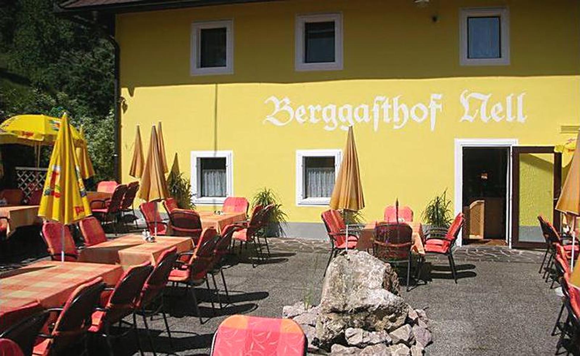
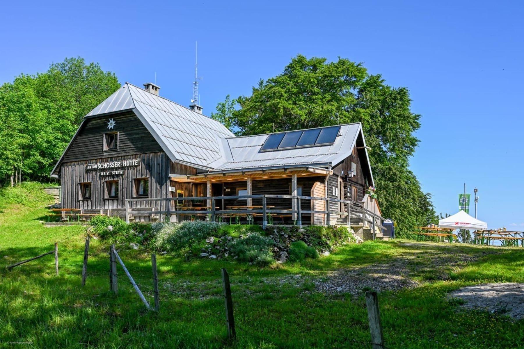
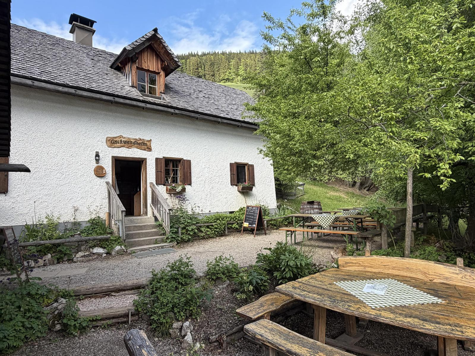
A mountain inn above St. Ulrich bei Steyr, on the Damberg circuits.
5.5 km away, in Großraming
A monument to the geologist Leopold von Buch above Großraming, set among granite blocks that carry an unusual variety of plants.
6.2 km away, in Reichraming
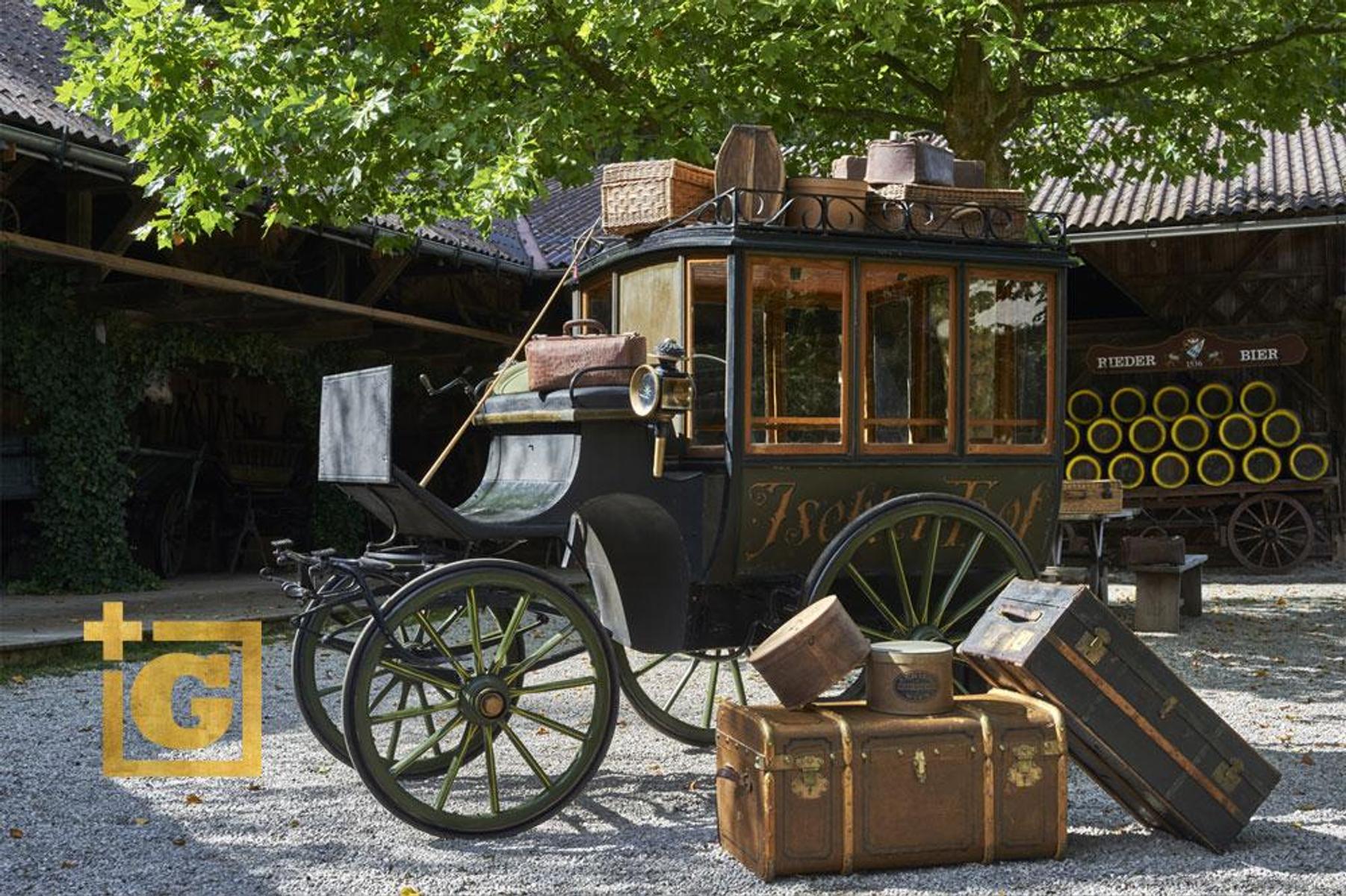
A museum of the Reichraming woodcutters, with brass work and a model of the village's former brass factory upstairs.
6.7 km away, in Reichraming
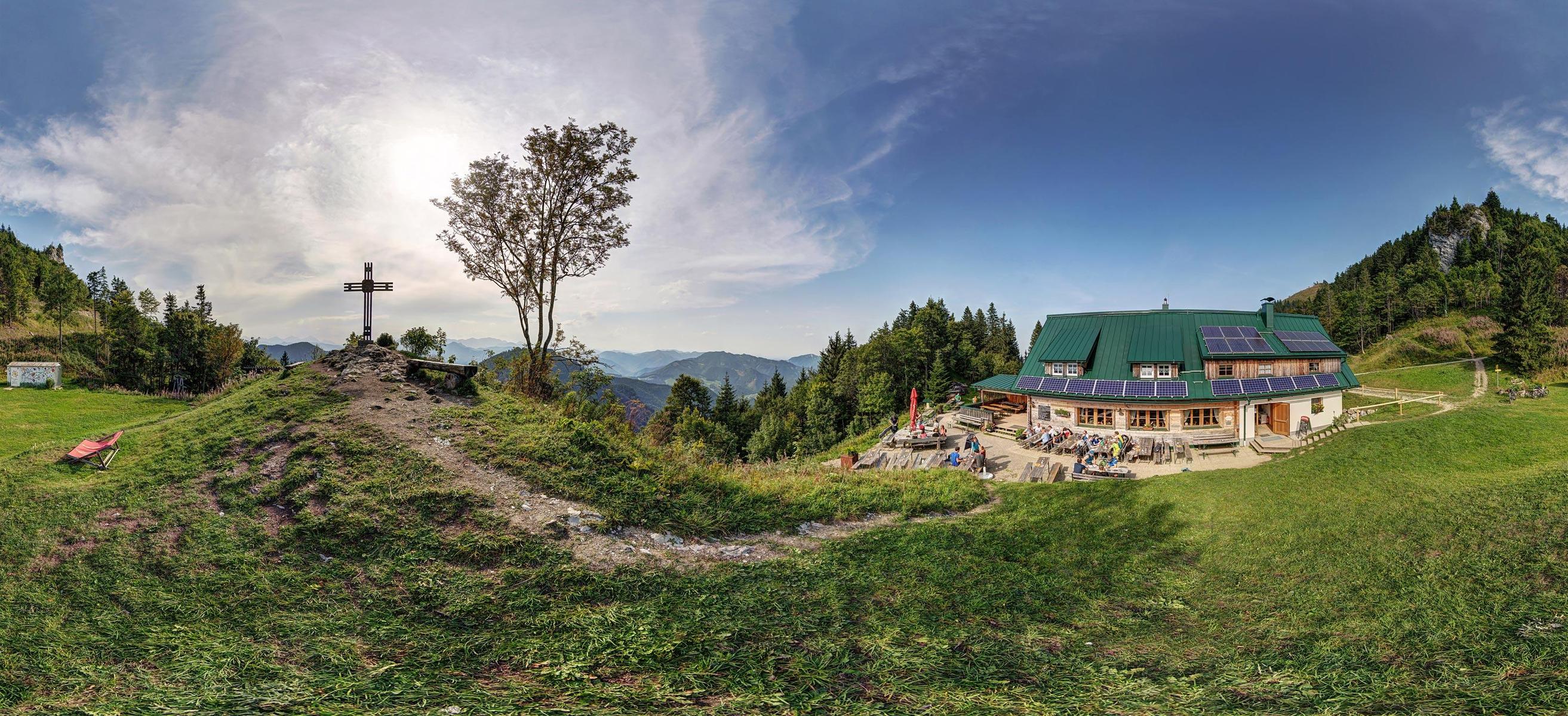
A hut at 1,158 m above Reichraming in the Ennstal national park region.
9.2 km away, in Ternberg
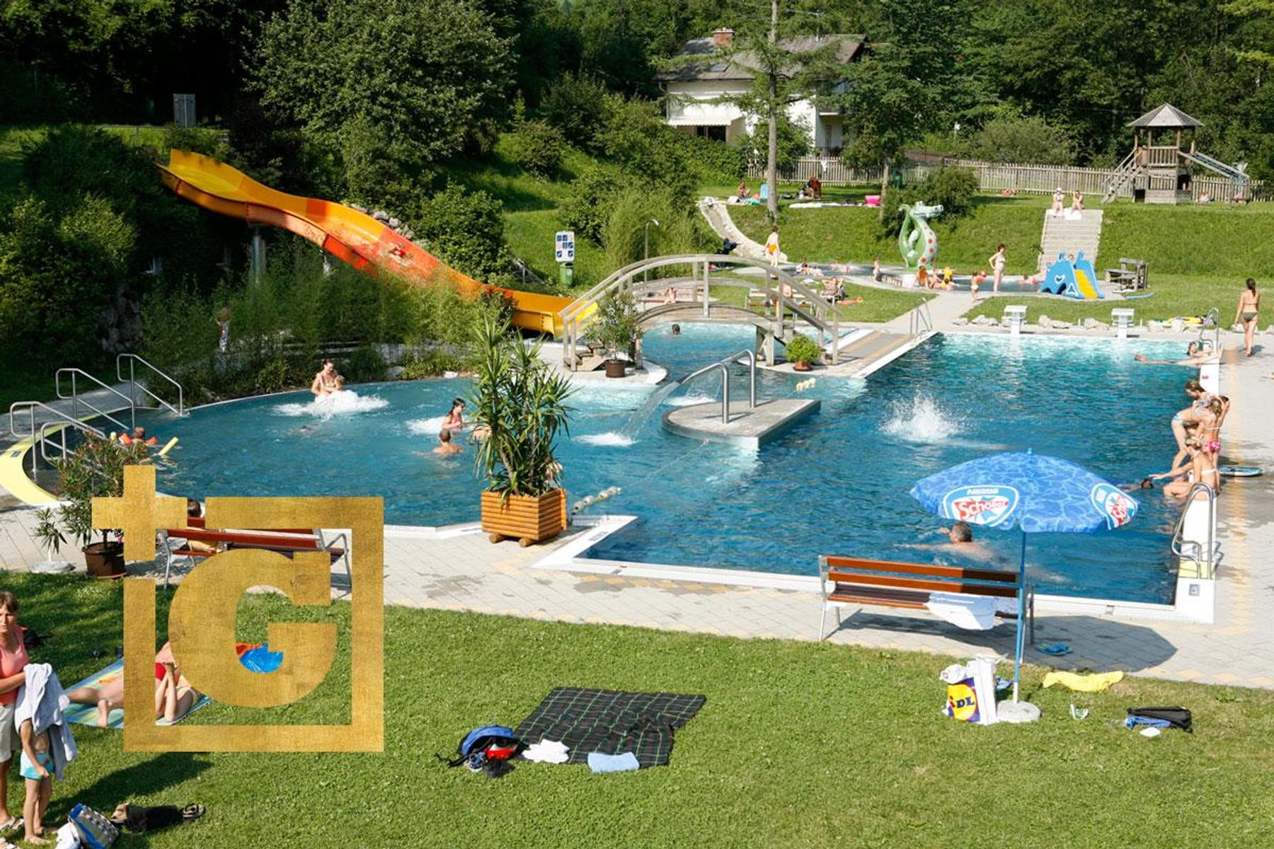
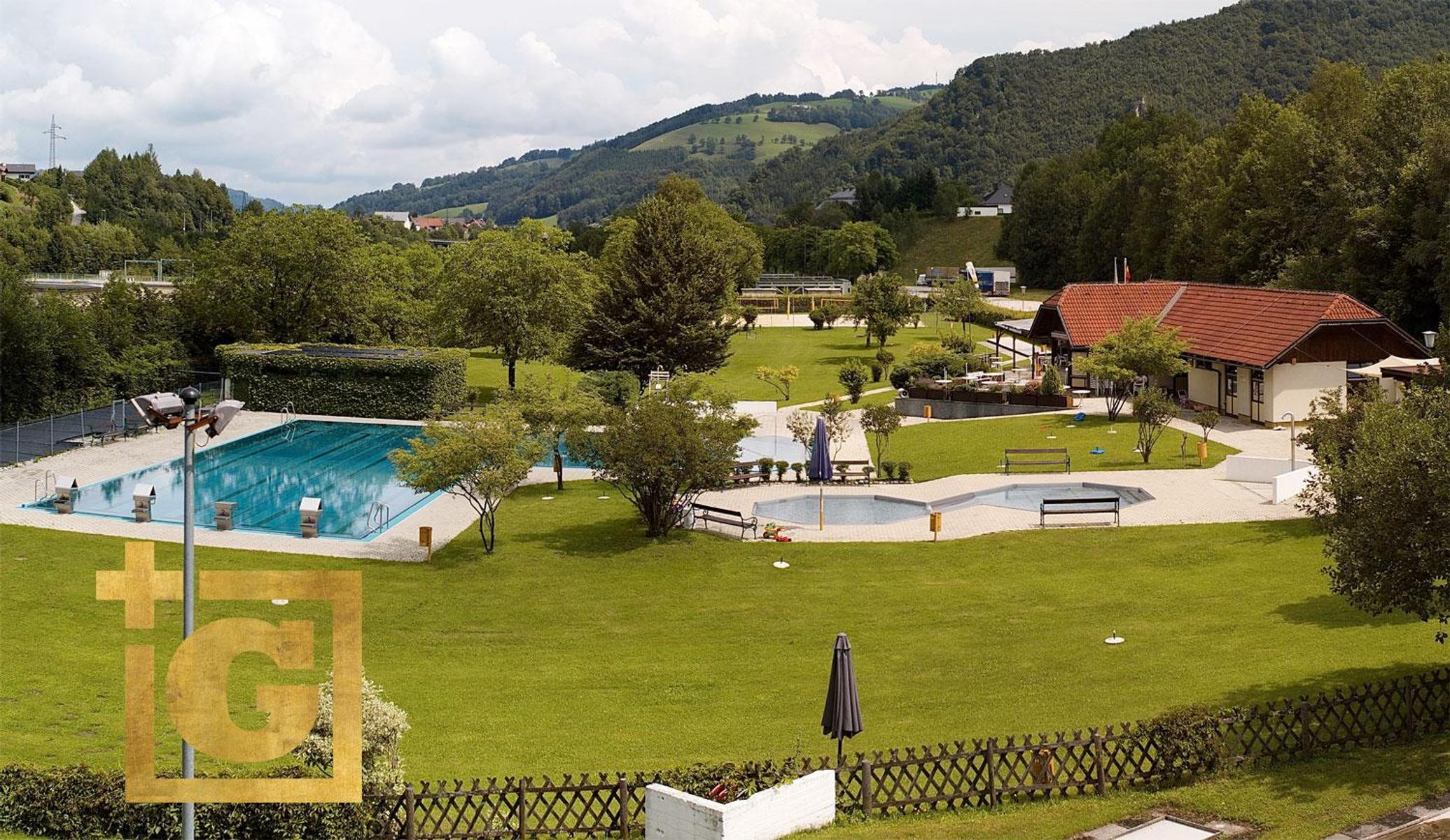
A solar-heated open-air pool in Ternberg with a large pool and a separate children's pool.
9.6 km away, in St. Ulrich bei Steyr
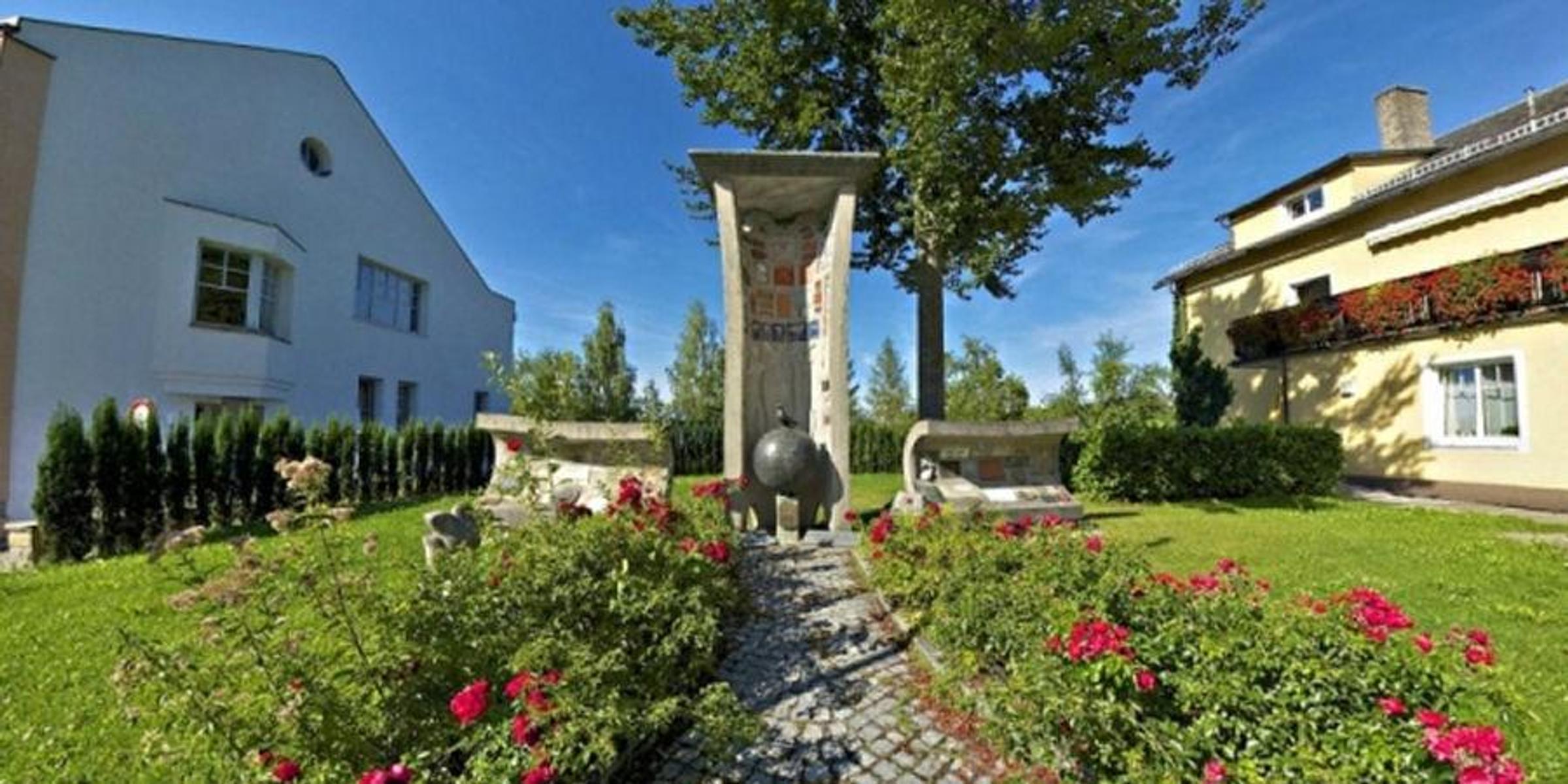
A peace memorial on the hill at St. Ulrich bei Steyr.
13.1 km away, in Großraming
An eighteenth-century alm in the Kalkalpen national park above Großraming, with some 30 hectares of pasture still grazed.
7.9 km away, in Maria Neustift
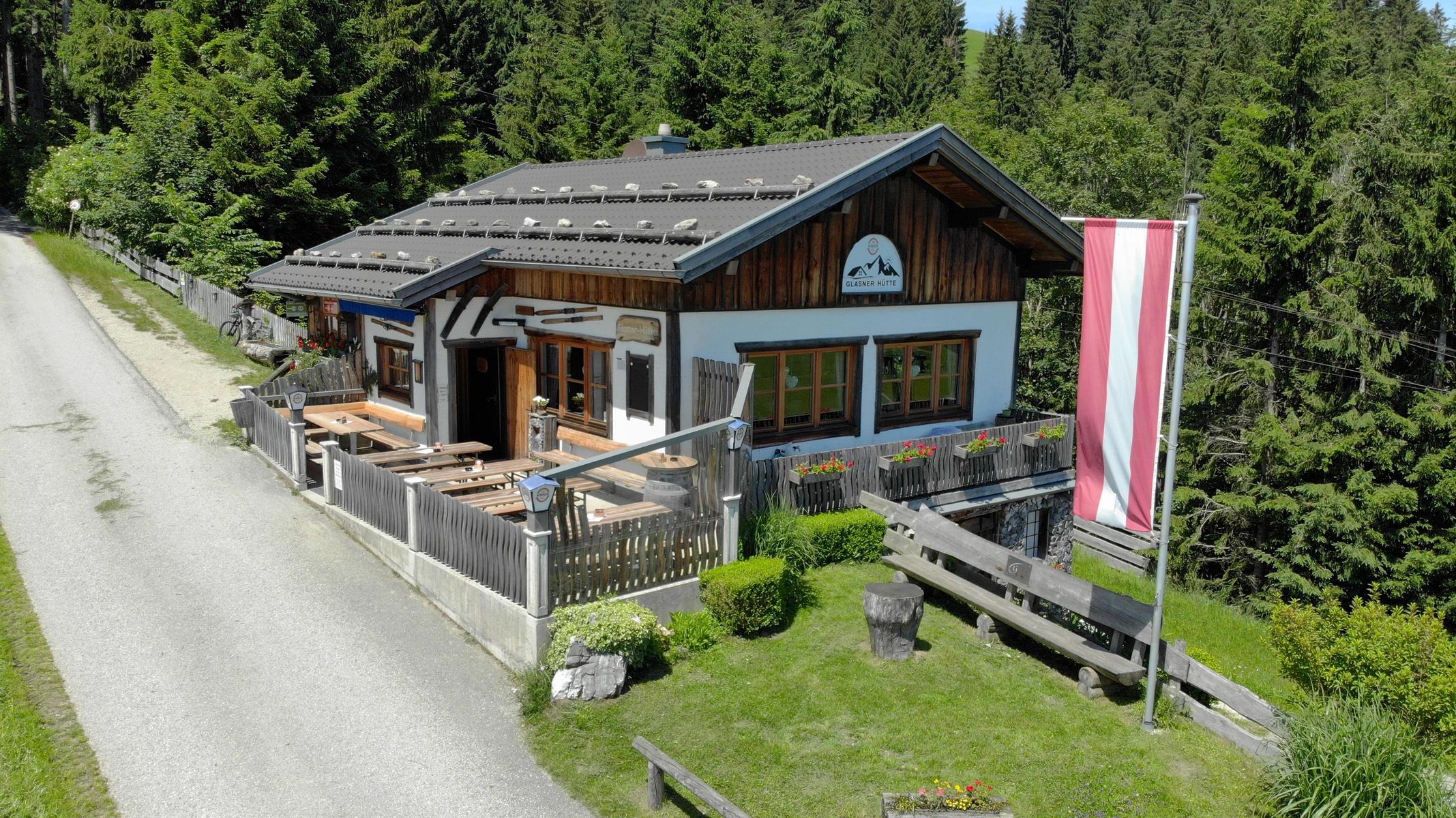
A hut at 804 m above Maria Neustift with a wide view, an e-bike charging point and a vending machine outside opening hours.
9.5 km away, in Behamberg
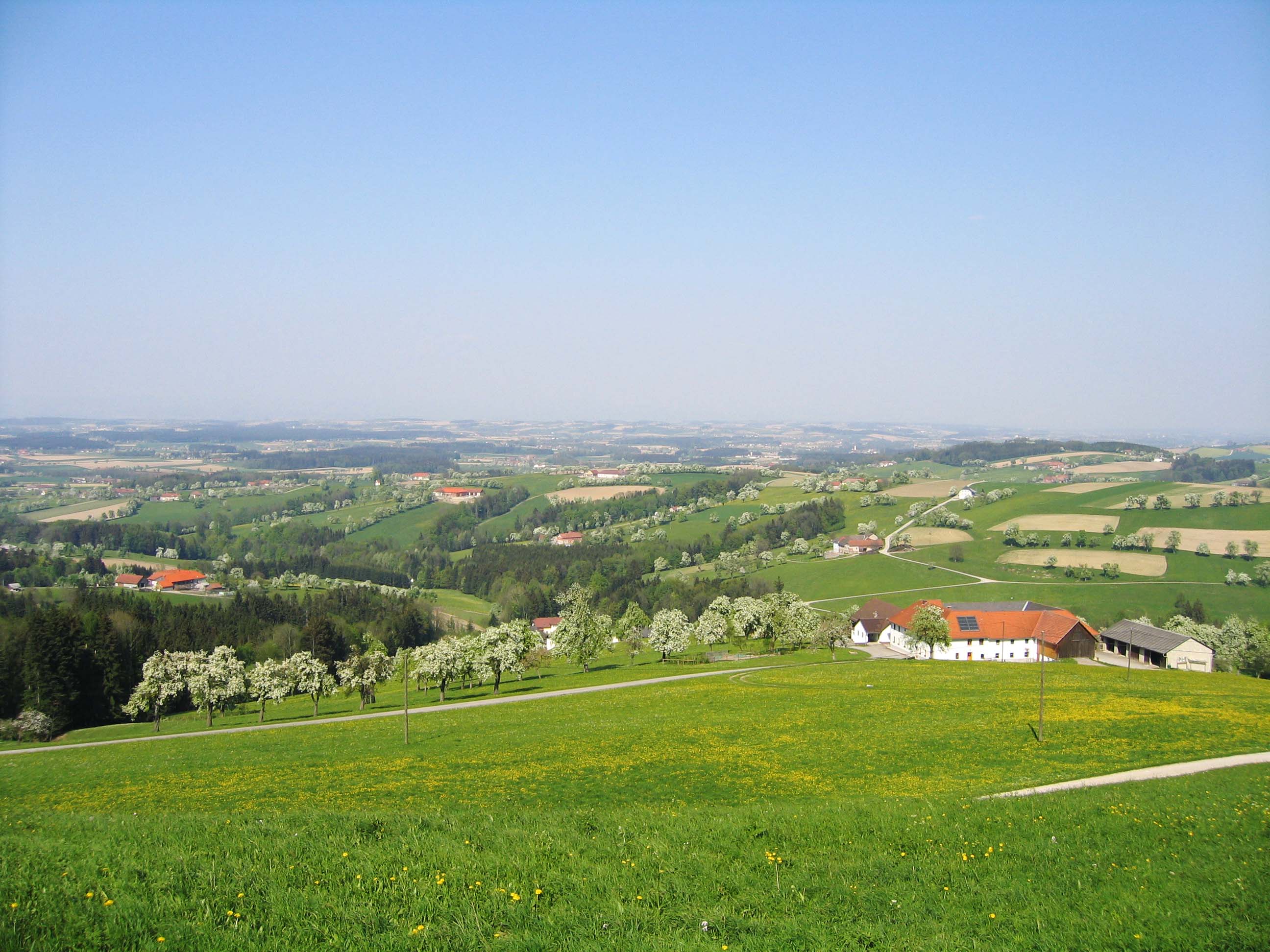
A viewing point at Behamberg above the Enns valley, looking out over the orchards of the Mostviertel.
9.5 km away, in Weistrach
A lookout tower named after Empress Elisabeth in the hills near St. Peter in der Au, with views over the Mostviertel.
9.8 km away, in Maria Neustift
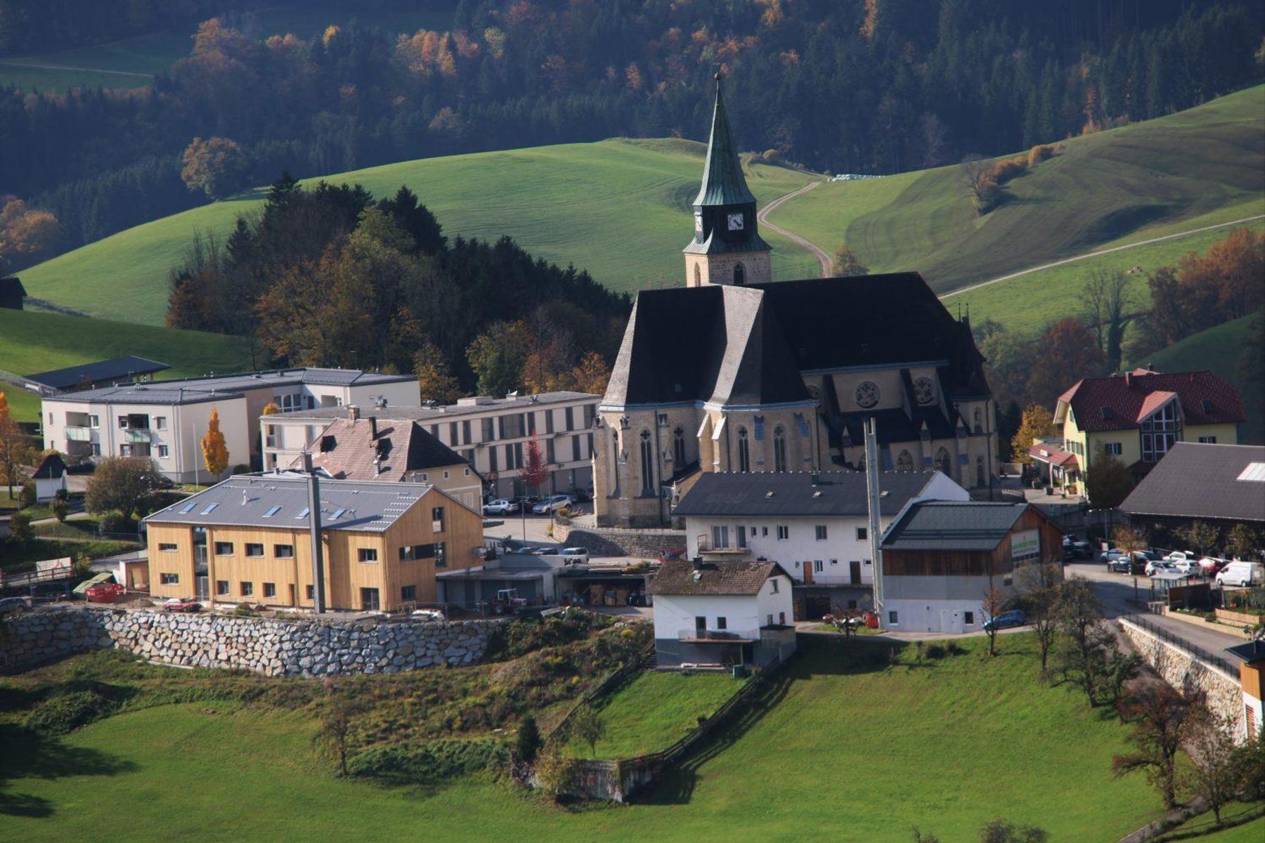
The pilgrimage church of Maria Neustift, above the Ennstal in the Eisenwurzen hills.
11.1 km away, in Steyr
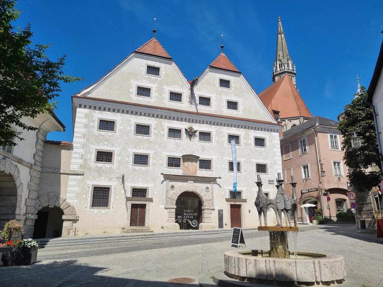
The town museum of Steyr, on more than a thousand years of the iron trade and the burghers who lived by it.
Nothing of this kind in Laussa.
A short, nearly level walk out of Laussa to a protected orchid meadow, an outing of well under an hour.
A varied loop through woods and meadows above Laussa with open views, put forward as a walk for the colder half of the year.
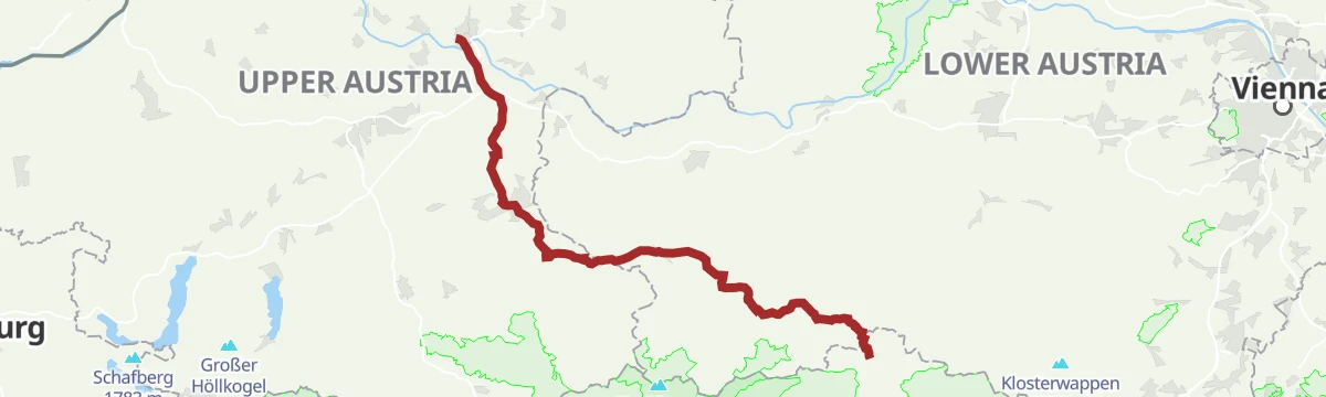
The classic Upper Austrian pilgrim way to Mariazell, leading from Linz by way of Steyr and Waidhofen an der Ybbs on mostly gentle ground.
A compact circuit starting in Laussa and looping out through the countryside around the village.
A varied round of the Schieferstein and the Fahrenberg, two of the sharper hills in the Ennstal.
A road route from Waidhofen up the Redtenbachgraben and round by Losenstein on the Enns.
A short, child-friendly loop below the Größtenberg near Laussa, mostly on forest roads between woodland and open meadows.
A short waymarked circuit from Laussa, climbing a few hundred metres into the hills that rise above the village.
The sportier variant of the Upper Austrian pilgrim way to Mariazell, leaving Linz on a hillier line with close to 1,000 m of climbing.
A day stage on the valley cycle route down to Steyr, passing the Neutor and the ibex in the castle moat before Garsten.
An easy there-and-back on forest paths and forestry roads up to the Spadenbergkapelle above Großraming in Upper Austria.
A short loop above Laussa, swinging around the Sauzahn and passing the Jungscharalm on the way back.
A full day on foot through the rolling hill country of the national park region, with wide views, botanical interest and a place to stop for a meal.
An easy circuit in the hills near Laussa with only modest climbing, comfortably walked in a couple of hours.
A varied and very steep climb from Laussa to the Weißes Kreuz, gaining most of its height in well under three kilometres.
A long historic route between Garsten and Großraming, the shortest link the river raftsmen once used, with views and inns on the way.
A circuit from Laussa that passes the protected orchid meadow on its way to the waterfall at Hölleiten.
A demanding circuit from the Wolfsgruberau over the Plattenberg and the Spadenberg, out to the Geroldkapelle and on to the Eigruberhof.
A moderate circular walk in the hills above Ternberg, gaining a few hundred metres before dropping back to the start.
A long panoramic circuit in the Dambach valley near Laussa, which can be extended with the Kohlergrabenrunde or the Spadenbergrunde.
A demanding walk up the Schieferstein from Laussa, rewarded with views over the Ennstal to the Sengsengebirge and the Haller Mauern.
A summit circuit in the Dambachtal near Laussa, taking in the tops around the valley with somewhere to stop for refreshments.
An easy panoramic walk along grassy ridges near Laussa, with a small hut on the Sonnberg where a vending machine keeps drinks.
A long circuit up the Wurmbachgraben above Ternberg, with somewhere to stop for refreshment on the round.
A gentle ridge walk above Laussa, an easy round with wide views that is listed for the winter months rather than high summer.
A demanding circular route just outside Großraming, laid out above the Aschatal on the edge of the Reichraming hills.
A long circuit right around the village of Laussa, following trail paths through the hills that surround it.
A demanding panoramic round along the Enns and over the Windloch, linking the tops of Damberg, Schwarzberg, Sonnberg and Fuchsenkogel.
The classic Upper Austrian pilgrim way to Mariazell by way of Steyr and Waidhofen an der Ybbs, walked in three day stages.
A long horseshoe from Sand over the Sonnberg and Schwarzberg, passing the Dambergwarte lookout tower before returning to the start.
The first of four stages on a pilgrim way, a long day out of Laussa with a fair amount of climbing along the route.
A middle stage of the Sebaldusweg pilgrim path, crossing the hills of the Nationalpark Kalkalpen region near Maria Neustift.
The second of four stages on the Sebaldusweg, a long day over the wooded hills around Maria Neustift.
No routes of this kind in Laussa yet.
Summit
via OÖ Mariazellerweg: A: Klassischer OÖ Mariazellerweg über Steyr und Waidhofen an der Ybbs

Featured route
A short, nearly level walk out of Laussa to a protected orchid meadow, an outing of well under an hour.
Everything else Upper Austria has, in one place
Every route on this page with 3D terrain, GPX navigation and offline maps — including the valleys with no signal.


