
Curated by Vorarlberg Tourismus
Langenegg
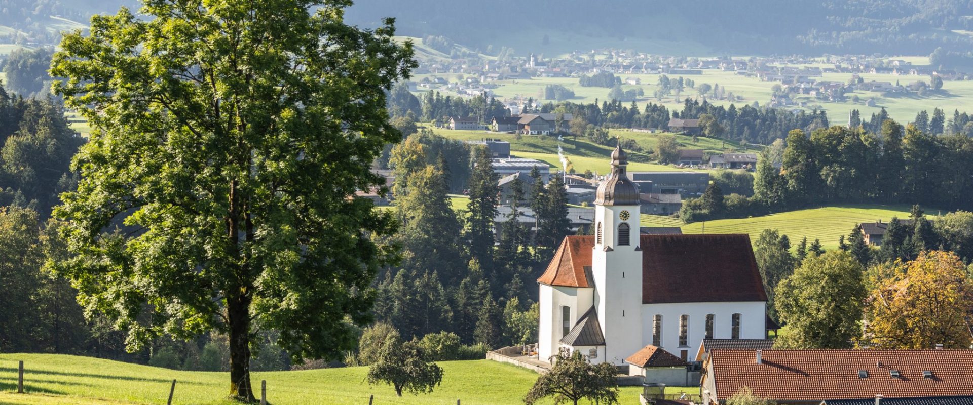
Between wide meadows and low mountains at 700 m, an energy-conscious village marked by art portals along its paths.
- 1Highlights
- 17Routes
Highlights
14 from neighbouring places
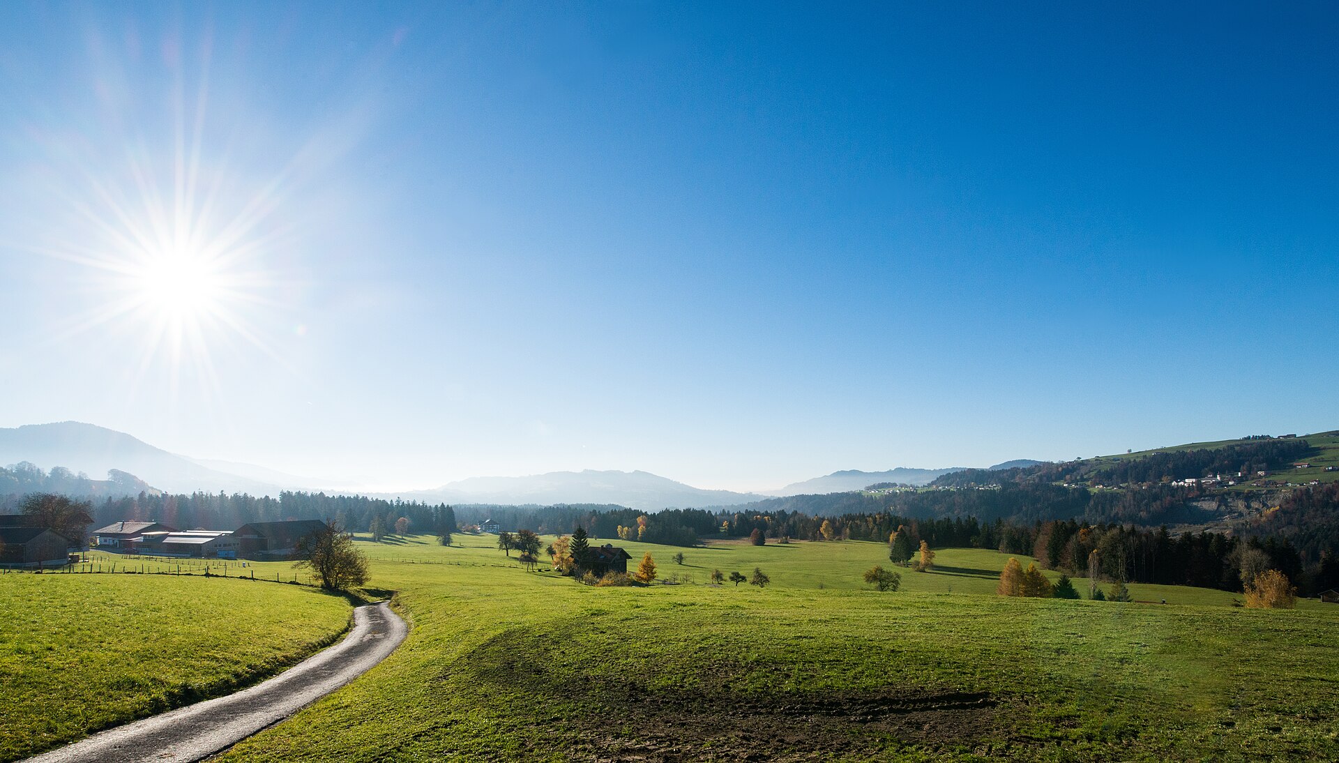
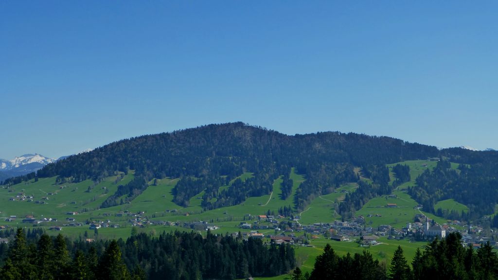
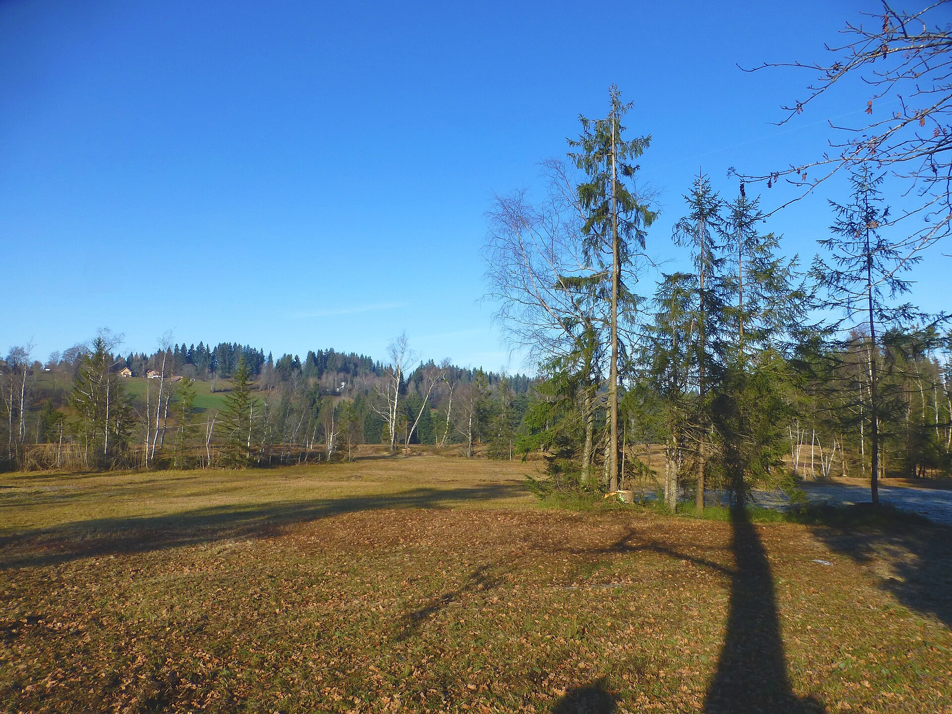
Finkenbühl
A rise of 748 m immediately north of the village centre, on the edge of the Nord nature reserve.
 Natural feature Feel free to use my photos, but please mention me as the author and if you want send me a message. or (rufre@lenz-nenning.at) · CC BY-SA 3.0 at
Roßbad
1.4 km away, in Krumbach
A nature reserve of 103 hectares at about 660 m in the west of the municipality.
PeakVisor / OpenStreetMapUnser KleinWien
2.9 km away, in Doren
A disused bakery in the middle of the village, bought by the municipality and given a new use.
Rotenberg
3.6 km away, in Hittisau
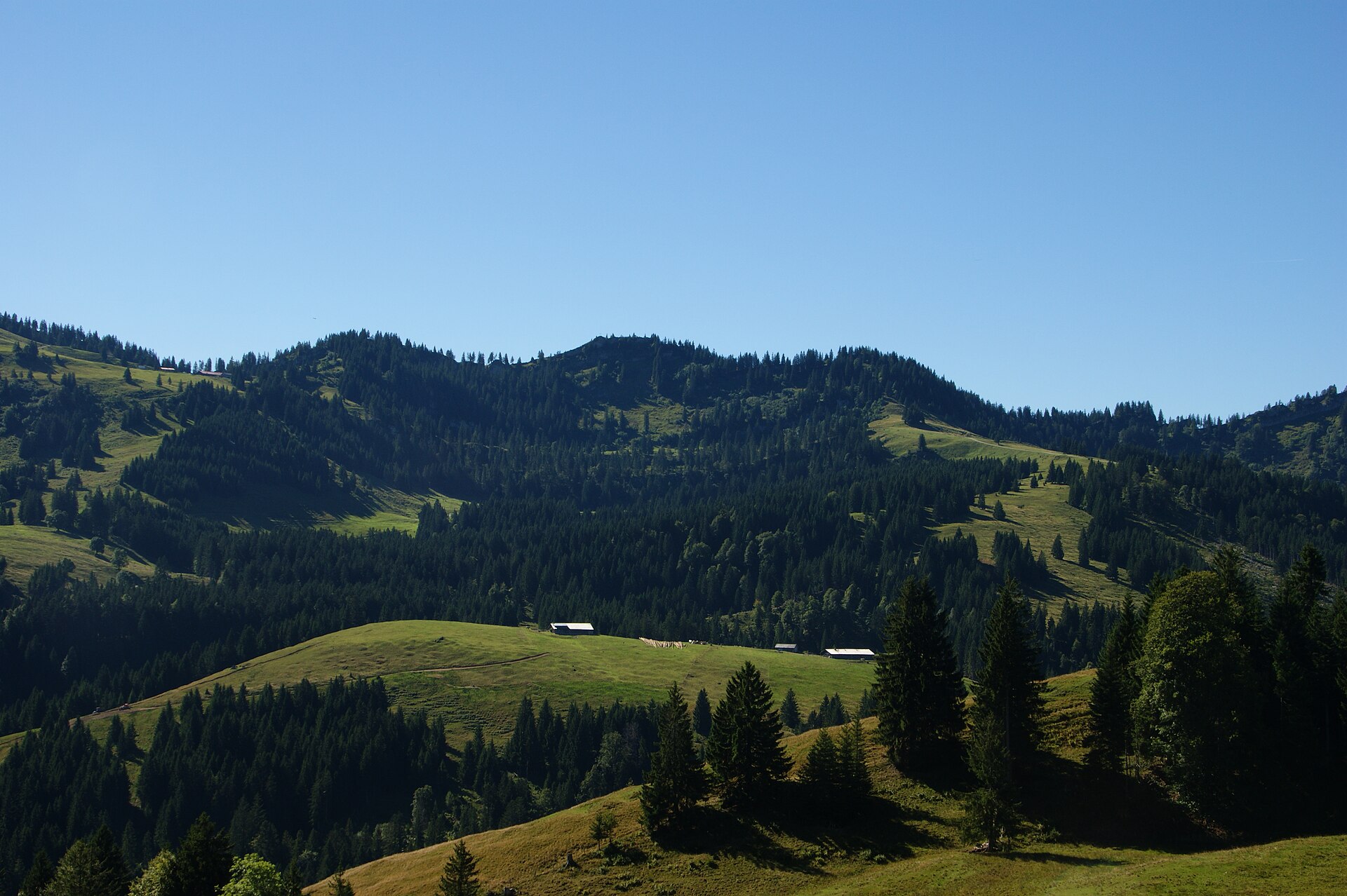
A 994 m hill north-east of the village, covered by the selection forest the local theme trail explains.
Brüggelekopf
4.3 km away, in Alberschwende
The village's own mountain at 1,182 m, a summit of the Bregenzerwald range reached from the old lift station.
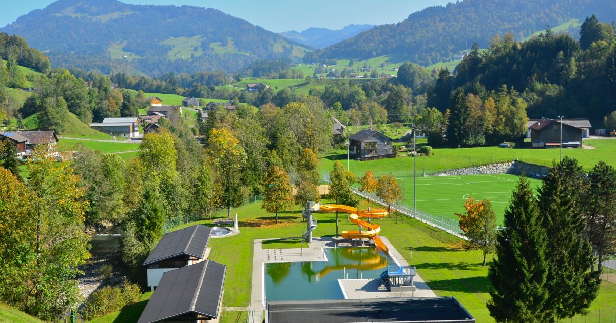
Freibad Hittisau
4.7 km away, in Hittisau
The open-air swimming pool of Hittisau in the Bregenzerwald, open through the summer months.
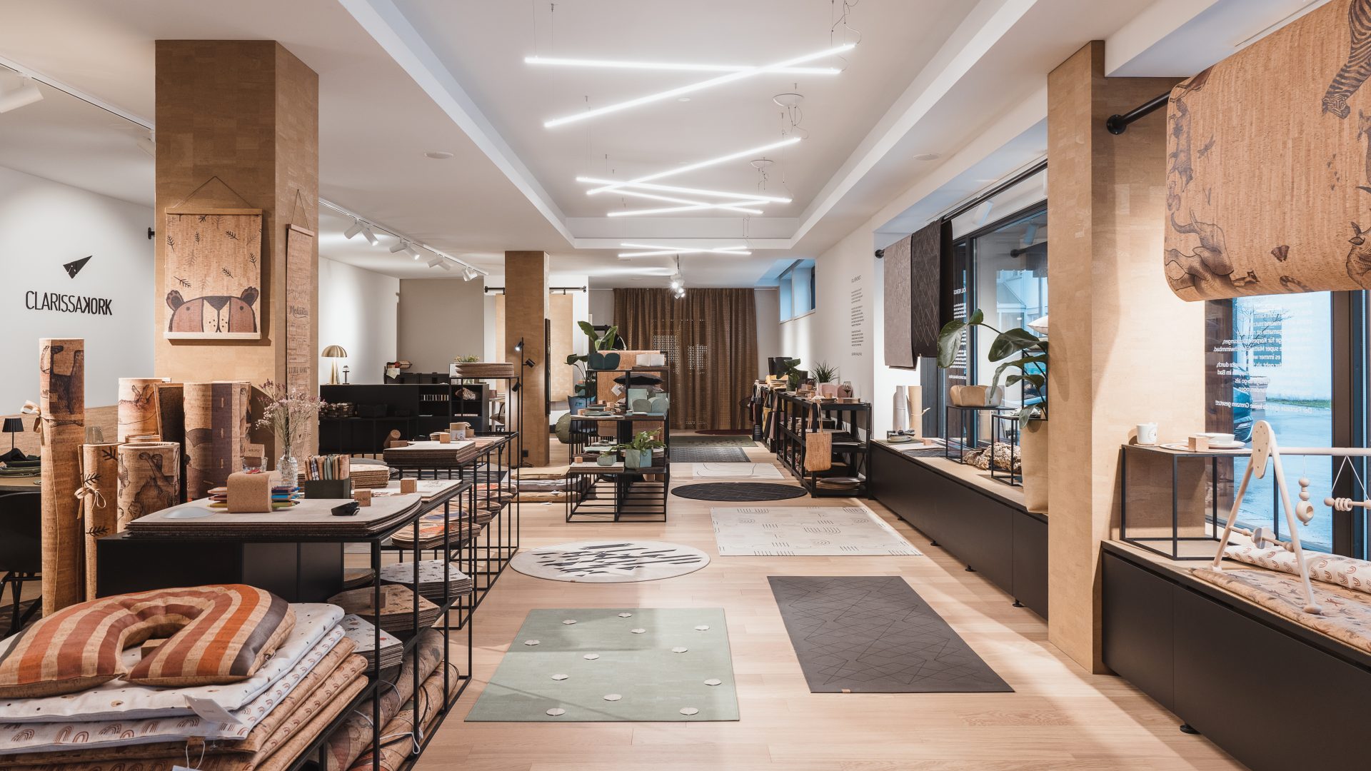
CLARISSAKORK
5 km away, in Hittisau
A workshop making rugs, homeware and children's things out of cork.
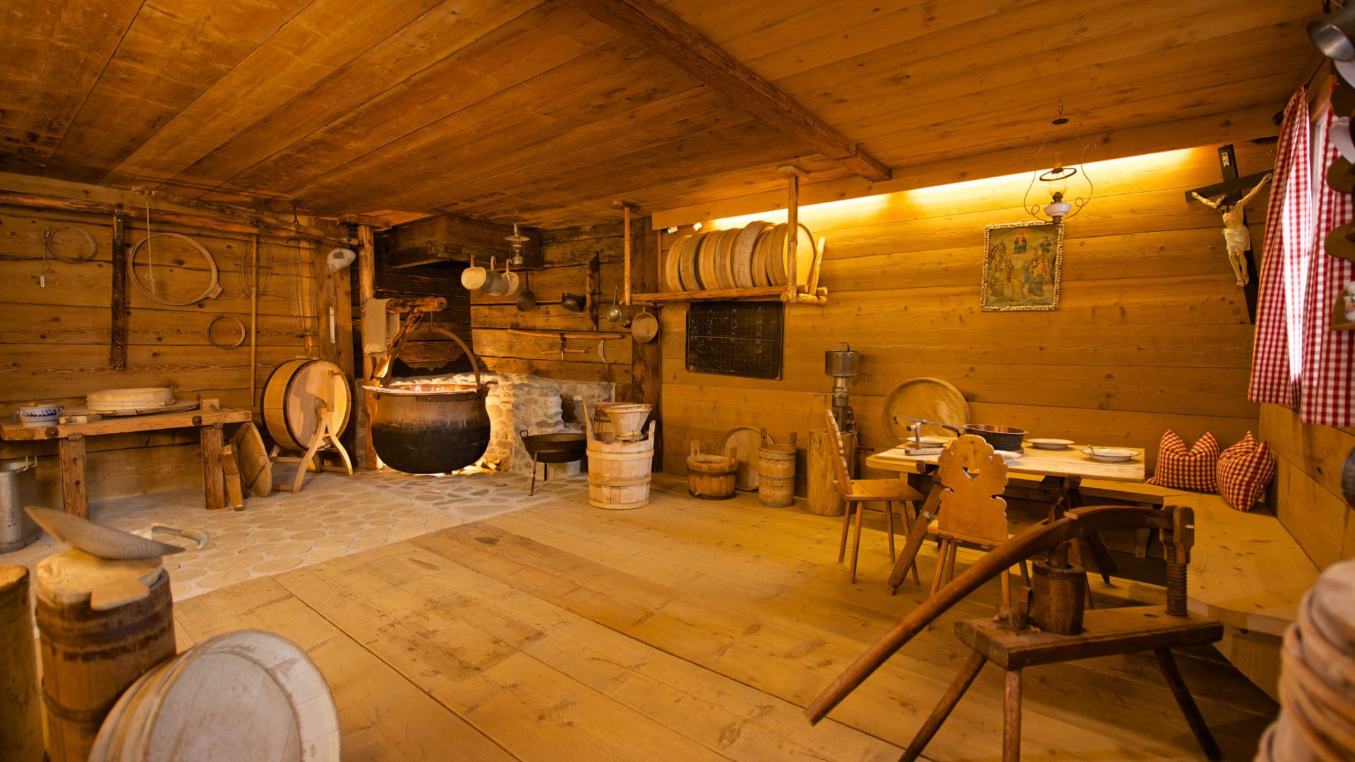
Alpsennereimuseum Hittisau
5.1 km away, in Hittisau
A historic alp dairy kitchen with its cheese-making and milk-working equipment, shown with a tasting.
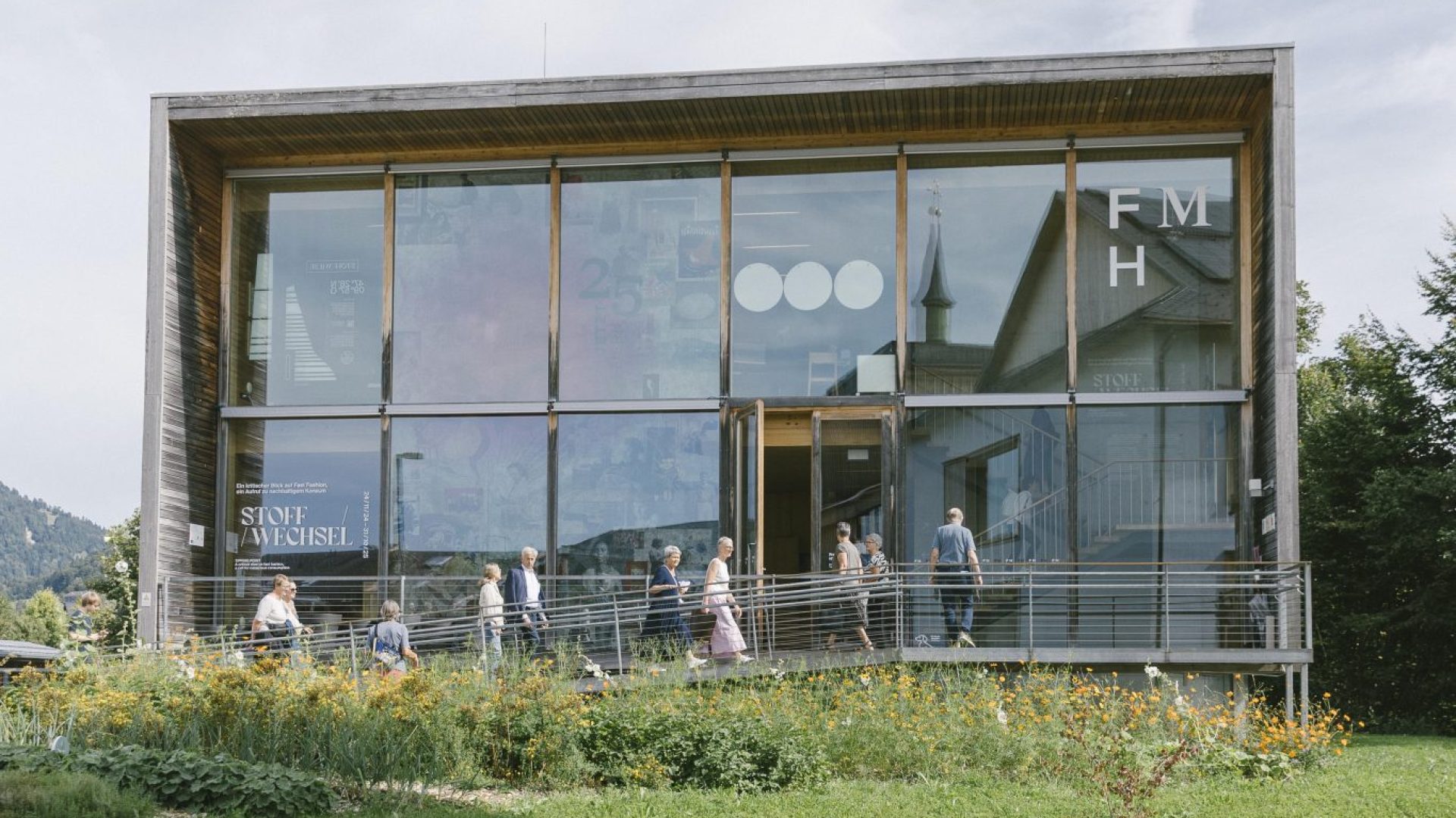
Frauenmuseum Hittisau
5.1 km away, in Hittisau
The only women's museum in Austria, and the only one anywhere set in a rural region.
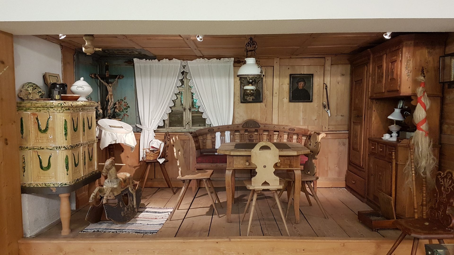
Museum-Depot in Alberschwende
5.5 km away, in Alberschwende
An open store museum shown by guided visit, its collection covering the years before motorisation.
Farnacher Moos
6.7 km away, in Alberschwende
A protected bog on the low ground below the village, crossed by the walking route from Schwarzach.
PeakVisor / OpenStreetMapHochhäderich
8.2 km away, in Hittisau
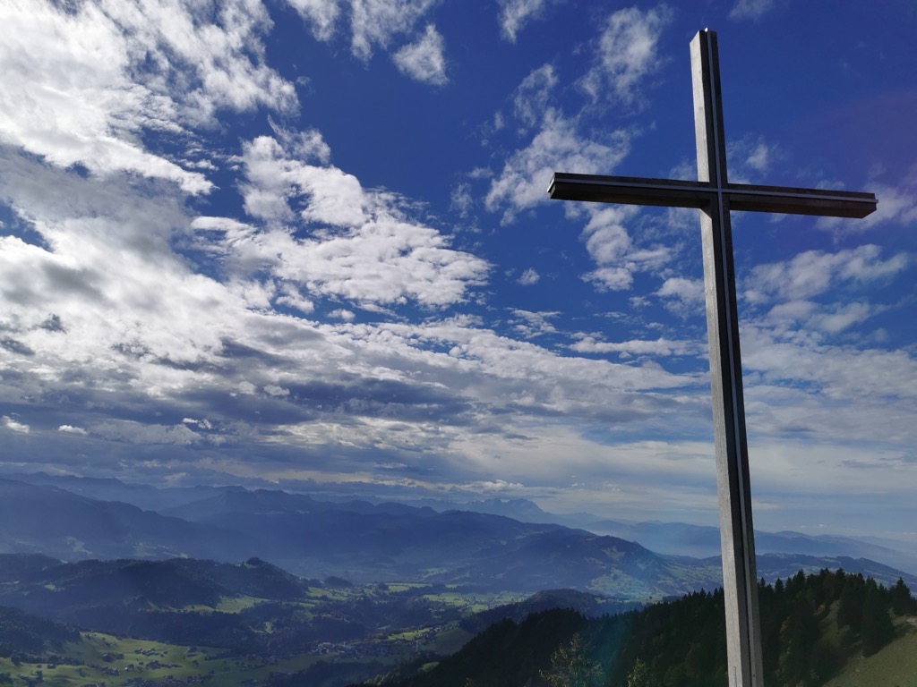
At 1,566 m the westernmost mountain of the Hochgrat chain, with the Austrian-German border running over its top.
Falken
9.5 km away, in Hittisau
A 1,564 m mountain of the Hochgrat chain, made of three separate heads, hence its plural local name.
PeakVisor / OpenStreetMap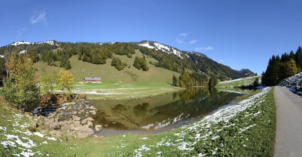 Natural feature Feel free to use my photos, but please mention me as the author and if you want send me a message. or (rufre@lenz-nenning.at) · CC BY-SA 3.0 at
Leckner See
10.5 km away, in Hittisau
A mountain lake of 1.75 hectares at 1,000 m in the Lecknertal, lying in the molasse zone.
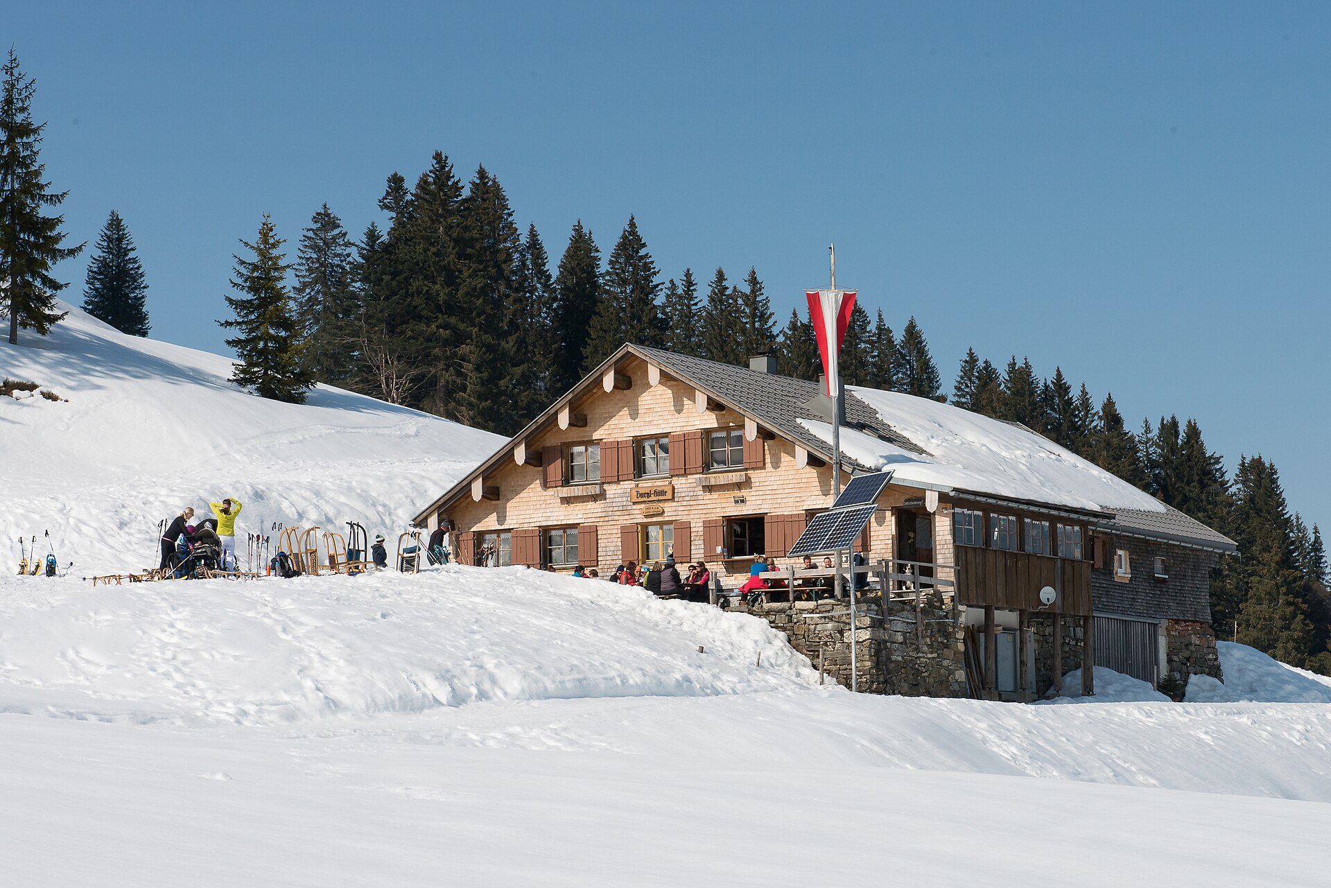
Burglhütte
14.7 km away, in Hittisau
A hut at 1,428 m on the high ground south-east of the village, in the Lecknertal alp country.
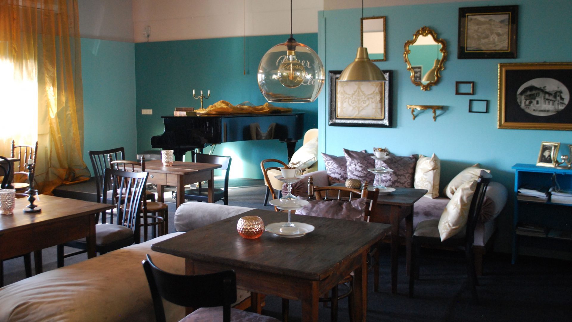
 Historic site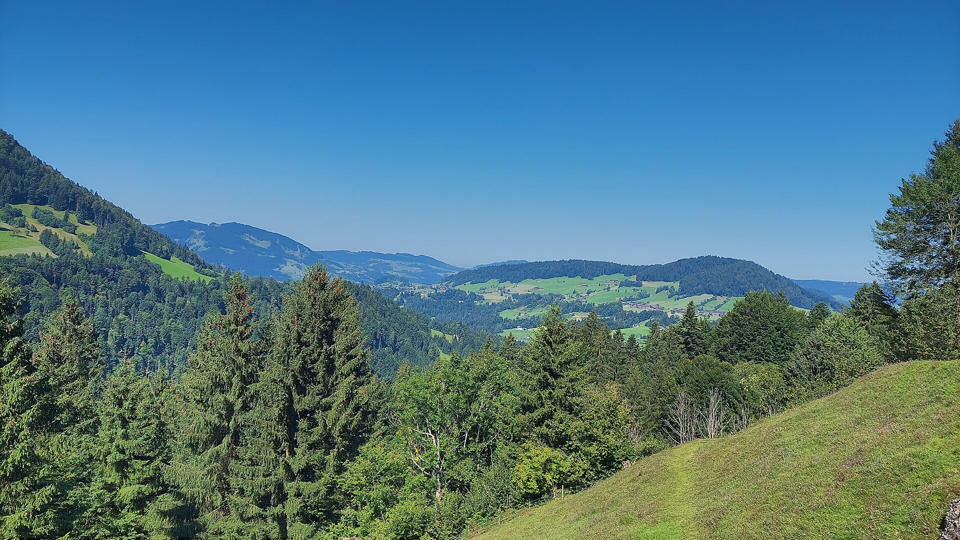
 Mountain hut
 Nothing of this kind in Langenegg.
Routes
Langenegg | Bommenrundweg
A short round from the village centre by Berkmann and Bommern and back through the Au quarter.
- 4.0 km
- Distance
- 113 m
- Ascent
- 1 h 13 min
- Duration
Open route Vorarlberg TourismusArchitekturweg Bregenzerwald | Krumbach – Lingenau (Etappe 1)
The opening stage of the architecture trail, which runs in five days from Krumbach by Schwarzenberg to Au.
- 14.0 km
- Distance
- 347 m
- Ascent
- 4 h 12 min
- Duration
Open route Vorarlberg Tourismus40 Jahre Bodensee-Radweg: Den Bregenzerwald entdecken
A ride along the Bregenzerache that can be combined with the R1 cycle bus, past old Wälder houses and new timber buildings.
- 47.1 km
- Distance
- 596 m
- Ascent
- 4 h 47 min
- Duration
Open route Vorarlberg TourismusLangenegg | Energiewanderung
A gentle round through selection forest and the Nord reserve, a well-kept moor, past the village's energy portals.
- 4.2 km
- Distance
- 110 m
- Ascent
- 1 h 15 min
- Duration
Open route Vorarlberg TourismusDoren | Weissachbrücke – Egg
Down from the village to where the Weißach meets the Bregenzerache, then level along the river to Egg.
- 12.0 km
- Distance
- 164 m
- Ascent
- 3 h 22 min
- Duration
Open route Vorarlberg TourismusAlberschwende | Achtalweg bis Andelsbuch – Bödele – Alberschwende
A long e-bike round by Egg, Andelsbuch and Schwarzenberg up to the Bödele, returning through Dornbirn.
- 39.2 km
- Distance
- 966 m
- Ascent
- 4 h 23 min
- Duration
Open route Vorarlberg TourismusLangenegg | Lausbubenweg
A short round in typical selection forest with play stations where children can climb, balance and throw fir cones.
- 3.5 km
- Distance
- 130 m
- Ascent
- 1 h 8 min
- Duration
Open route Vorarlberg TourismusKrumbach | Rundweg von Krumbach nach Langenegg
A varied round through the scattered settlement country of the outer Bregenzerwald, from Krumbach to Langenegg.
- 10.5 km
- Distance
- 212 m
- Ascent
- 2 h 58 min
- Duration
Open route Vorarlberg TourismusEgg | Achtal-Runde
A round from Egg to Alberschwende and back along the trackbed of the old Bregenzerwald railway.
- 23.6 km
- Distance
- 585 m
- Ascent
- 2 h 38 min
- Duration
Open route Vorarlberg TourismusLangenegg | Leseweg Langenegg
A flat, pushchair-friendly path past three Wortorte, filled book boxes set at quiet places to read in.
- 3.0 km
- Distance
- 55 m
- Ascent
- 50 min
- Duration
Open route Vorarlberg TourismusLangenegg | Libellenweg
From the Nord nature reserve down to the Bregenzerache along the old Wälderbahn line, then a sharp climb back.
- 11.5 km
- Distance
- 227 m
- Ascent
- 3 h 15 min
- Duration
Open route Vorarlberg TourismusGraveltour Bregenzerwald Kurz
A short gravel round out of Andelsbuch through the Vorderwald and back.
- 25.3 km
- Distance
- 623 m
- Ascent
- 2 h 50 min
- Duration
Open route Vorarlberg TourismusUmgang Langenegg
A village circuit through a place that runs its own local currency, the Talente, and has remade itself in recent decades.
- 3.1 km
- Distance
- 51 m
- Ascent
- 51 min
- Duration
Open route Vorarlberg TourismusLangenegg | Lindenweg
A round named for the lime tree: the village arms show two intertwined lime branches for the joining of Ober- and Unterlangenegg.
- 7.3 km
- Distance
- 247 m
- Ascent
- 2 h 19 min
- Duration
Open route Vorarlberg TourismusHittisau | Mittelwald-Runde
A varied road round through the Bregenzerwald with sporting climbs and long descents, for riders in good shape.
- 35.3 km
- Distance
- 515 m
- Ascent
- 3 h 37 min
- Duration
Open route Vorarlberg TourismusMellau l Rennrad Mellau – Vorderwald
A long road round out of Mellau taking in most of the villages of the outer Bregenzerwald.
- 51.4 km
- Distance
- 894 m
- Ascent
- 5 h 24 min
- Duration
Open route Vorarlberg TourismusRadweg Bregenzerwald
The valley cycle route from Schoppernau down to Doren, following the Bregenzerache the whole way.
- 39.4 km
- Distance
- 234 m
- Ascent
- 3 h 51 min
- Duration
Open route Vorarlberg Tourismus






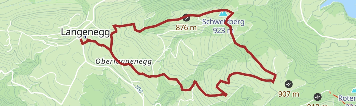


No routes of this kind in Langenegg yet.
Planning a trip to Langenegg?
Everything else Vorarlberg has, in one place


Take Langenegg with you into the mountains
Every route on this page with 3D terrain, GPX navigation and offline maps — including the valleys with no signal.
Data sources
- Official website: bregenzerwald.at ↗
- Routes and highlights: Vorarlberg Tourismus, PeakVisor / OpenStreetMap, Bregenzerwald Tourismus, Bodensee-Vorarlberg Tourismus
- Published as open data by the tourist boards named above.
