
 Historic site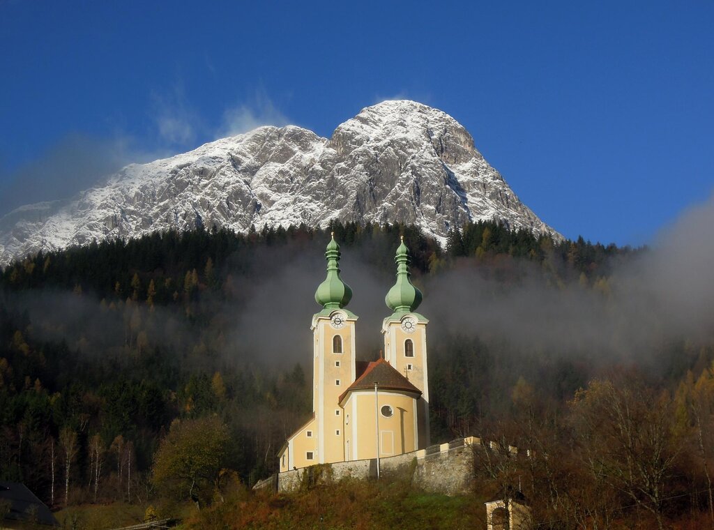
 Mountain hut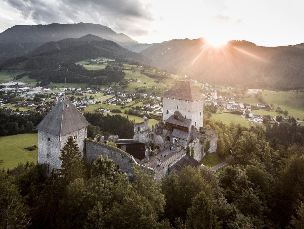





Curated by Ybbstaler Alpen
Landl
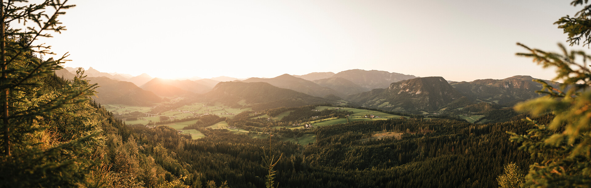
Where the Salza joins the Enns at about 500 m, forest and mill villages along the northern edge of the Gesäuse between Hieflau and Palfau.
Photo: Anton Hansch
- 5Highlights
- 13Routes
- Featured summit · Hochkogel
Highlights
8 from neighbouring places
Naturpark Resort Haus der Hoamat-Legenden
A themed visitor house at Gams bei Hieflau in the Styrian Eisenwurzen, built around local legends.
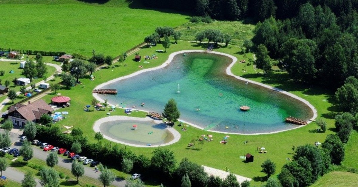
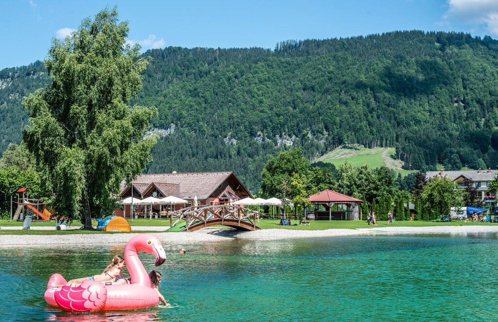
Badesee & Freizeitpark Landl
A swimming lake with a leisure park at Landl in the Styrian Enns valley, below the eastern Gesäuse.
Badesee Landl
A swimming lake at Landl in the Enns valley of Styria, used for bathing in summer.
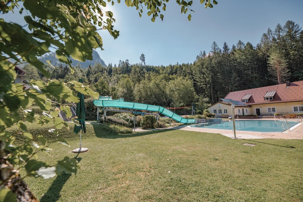
Freibad Hieflau
The open-air swimming pool of Hieflau, at the eastern end of the Gesäuse in the Styrian Enns valley.
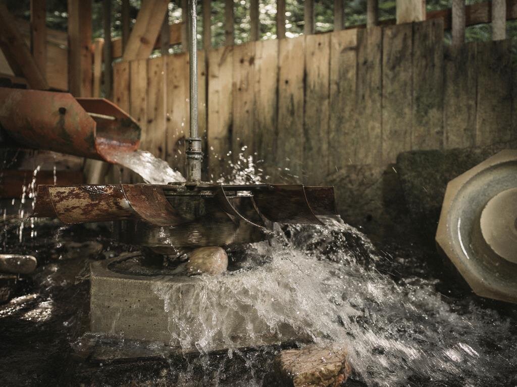
Steinkugelmühle
A restored mill near Gams bei Hieflau in the Styrian Eisenwurzen, where stone balls were once ground.
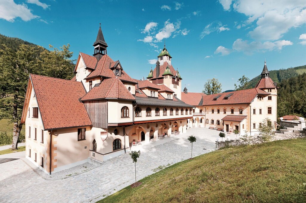
Schloss Kassegg
8.9 km away, in Sankt Gallen
A castle at Sankt Gallen in the Styrian Enns region, standing on the valley floor near the village.
Wallfahrtskirche zum heiligen Antonius
12 km away, in Radmer
A pilgrimage church dedicated to St Anthony in the Radmer, a side valley north-west of Eisenerz in Styria.
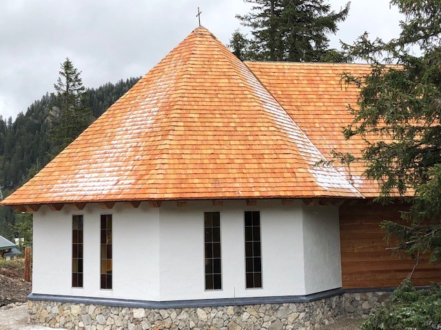
Hochkar-Kapelle
12.2 km away, in Göstling an der Ybbs
A small chapel on the Hochkar above Göstling an der Ybbs, standing beside the paths on the summit plateau.
JoSchi Almhütte Hochkar
12.3 km away, in Göstling an der Ybbs
An alpine chalet on the Hochkar above Göstling an der Ybbs, used as group and family accommodation for the ski and walking area.
Burgruine Gallenstein
12.5 km away, in Sankt Gallen
The ruins of Gallenstein castle on a wooded rock above Sankt Gallen in Styria.
ÖTK Schutzhaus Hochkar
12.5 km away, in Göstling an der Ybbs
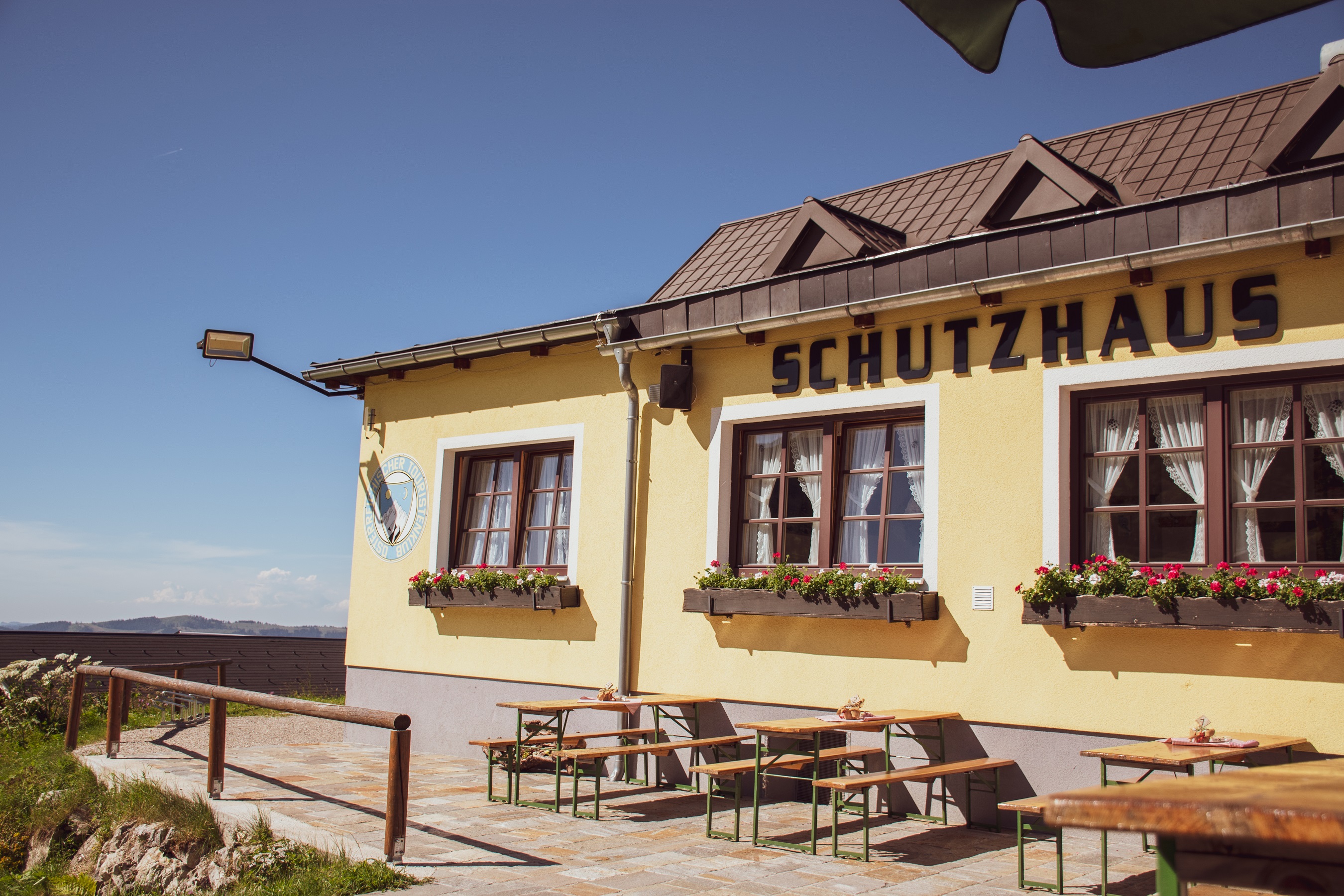
A hut of the Austrian Tourist Club high on the Hochkar above Göstling an der Ybbs, serving skiers in winter and walkers in summer.
Freibad Sankt Gallen
13 km away, in Sankt Gallen
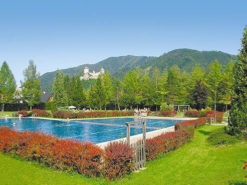
The open-air swimming pool of Sankt Gallen in the Styrian Enns region.
Wassererlebnispark Sankt Gallen
13.3 km away, in Sankt Gallen
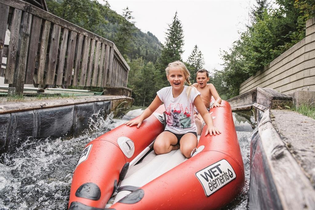
A water playground at Sankt Gallen in Styria, with channels and pools laid out for children.
Nothing of this kind in Landl.
Routes
Gamsstein-Tour
A 14 km tour up the Gamsstein above Hollenstein an der Ybbs, graded medium.
- 14.0 km
- Distance
- 60 m
- Ascent
- 3 h 26 min
- Duration
- 3
- Check-ins
Etappe 08 Luchs Trail Mooslandl
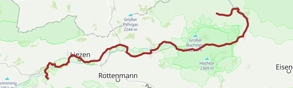
Stage eight of the Luchs Trail, keeping close to the wild Salza on the valley floor and passing through the Nothklamm gorge at Gams.
- 24.3 km
- Distance
- 1 019 m
- Ascent
- 8 h 12 min
- Duration
Ennsradweg Aigen im Ennstal - St. Gallen
A long ride downstream beside the Enns, running through the Gesäuse gorge with barely 600 m of climbing in nearly 80 km.
- 79.0 km
- Distance
- 652 m
- Ascent
- 7 h 37 min
- Duration
- 12
- Check-ins
Zellerrainrunde
A round in the pass country of the Zellerrain between the Ybbstal and Mariazell, with close to 900 m of climbing.
- 171.7 km
- Distance
- 884 m
- Ascent
- 16 h 3 min
- Duration
Ennsradweg - 4. Tagesetappe
A day stage of the Enns river cycle route through the Gesäuse, passing the Weidendom and several riverside campsites.
- 68.0 km
- Distance
- 1 308 m
- Ascent
- 7 h 16 min
- Duration
- 14
- Check-ins
Etappe 07 Luchs Trail Ennstalerhütte
A traverse of the northern Gesäuse peaks by way of the hut on the ridge, one of the later legs of the lynx-themed long-distance route.
- 11.1 km
- Distance
- 202 m
- Ascent
- 4 h 11 min
- Duration
Etappe 09 Luchs Trail Palfau
Stage nine of the Luchs Trail, a long day of walking that saves the Mendlingtal for its closing stretch.
- 22.6 km
- Distance
- 1 454 m
- Ascent
- 9 h 38 min
- Duration
Gamssteintour
A climb from Hollenstein through the Sandgraben to the Promau rise, on to the Scheibenberg and Moar alms.
- 61.7 km
- Distance
- 780 m
- Ascent
- 6 h 12 min
- Duration
Ennsradweg R7
A stage of the long-distance cycle route along the Enns, running through the mountain country of the Ennstal near Admont.
- 143.2 km
- Distance
- 2 344 m
- Ascent
- 15 h 3 min
- Duration
Gamsstein-Gipfelwanderung
A 13.6 km walk to the summit of the Gamsstein from Hollenstein an der Ybbs, graded medium.
- 13.6 km
- Distance
- 47 m
- Ascent
- 3 h 18 min
- Duration
Trans Nationalpark Etappe 5
A short stage from Palfau by way of Gams to Mooslandl, with time for the Nothklamm gorge and a brewery stop en route.
- 22.2 km
- Distance
- 1 004 m
- Ascent
- 7 h 41 min
- Duration
Gamssteinrunde
A 14 km circuit in the hills above Landl, crossing the Rosskogel and the Mühlbauernkogel and passing the Lackneralmhütte.
- 14.1 km
- Distance
- 216 m
- Ascent
- 3 h 49 min
- Duration
Wasserlochklamm Palfau
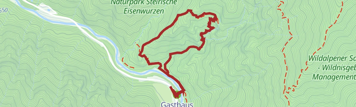
A short but steep 363 m climb through the Wasserlochklamm gorge at Palfau, starting from the Gasthaus Wasserlochschenke at its mouth.
- 3.6 km
- Distance
- 363 m
- Ascent
- 2 h 14 min
- Duration
No routes of this kind in Landl yet.
The region's own picks

Featured route
Gamsstein-Tour
A 14 km tour up the Gamsstein above Hollenstein an der Ybbs, graded medium.
Planning a trip to Landl?
Everything else Styria has, in one place


Take Landl with you into the mountains
Every route on this page with 3D terrain, GPX navigation and offline maps — including the valleys with no signal.
Data sources
- Official website: 360alpenland.com ↗
- Routes and highlights: Ybbstaler Alpen, Steiermark, 360alpenland, Salzburger Sportwelt, Schladming-Dachstein Tourismus
- Published as open data by the tourist boards named above.
- Region summary generated from the board's own material.
