





Curated by Dolomitiprealpi
Lamon
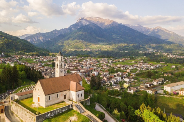
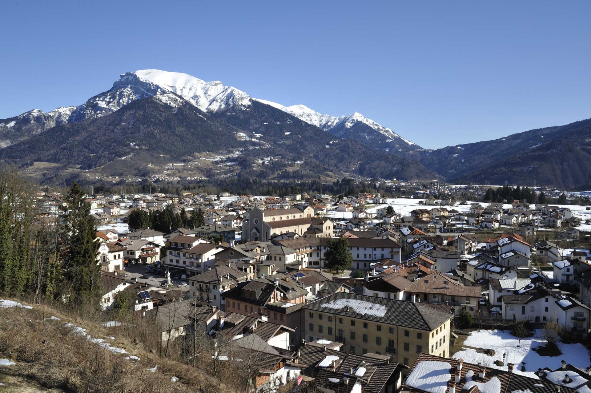
Plateau comune above the Cismon known for its beans and its sheep, with a walkway over Lake Senaiga.
- 5Highlights
- 9Routes
- Featured summit · Monte Luna
Highlights
10 from neighbouring places
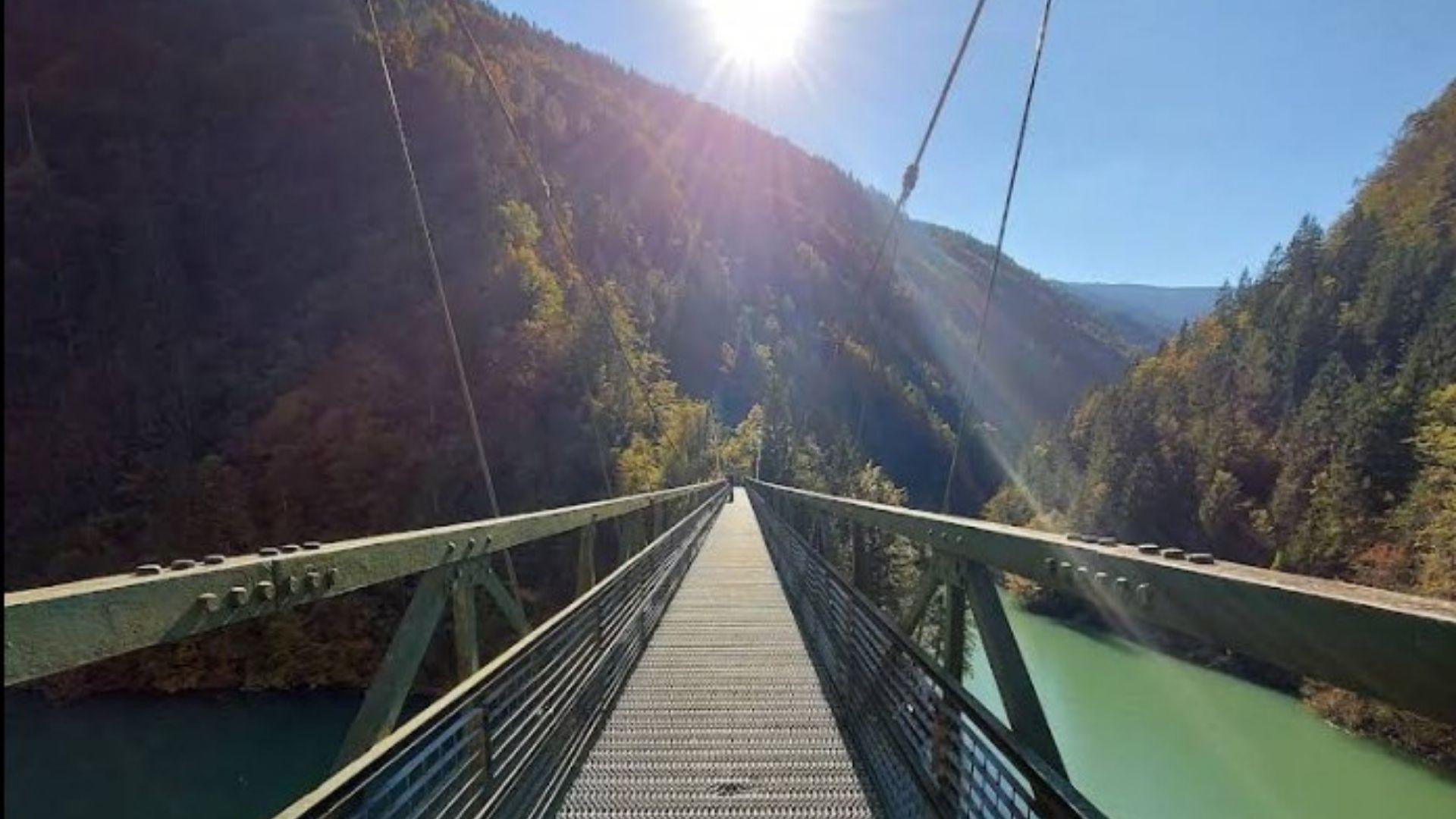
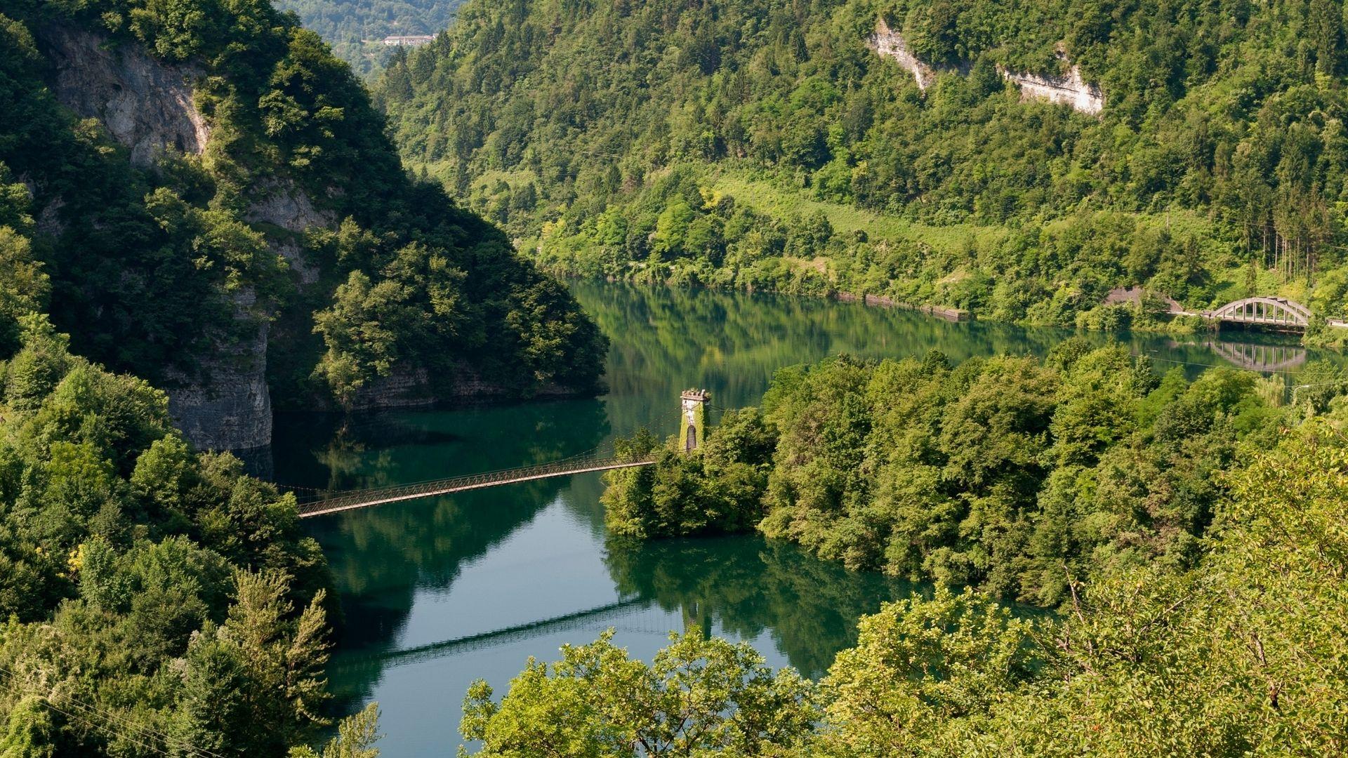
Passerella sul Lago Senaiga
A footbridge crossing the reservoir of Lago Senaiga, in the wooded valley below the plateau of Lamon.
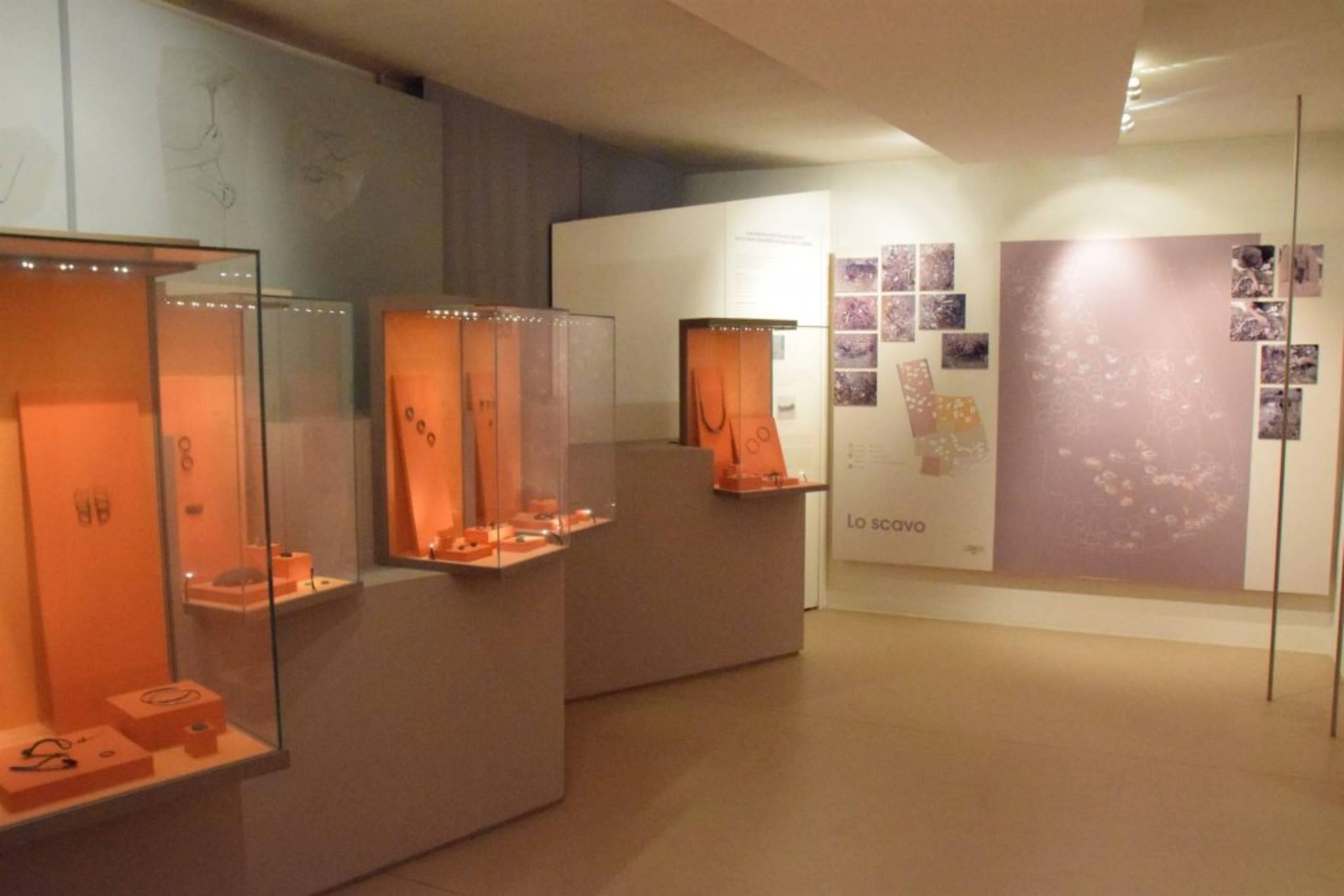
Museo Civico Archeologico
The civic archaeological museum of Lamon, holding finds from the plateau between the Cismon and the Senaiga.
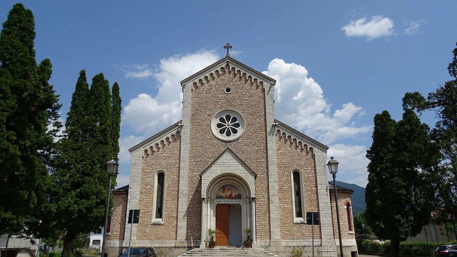
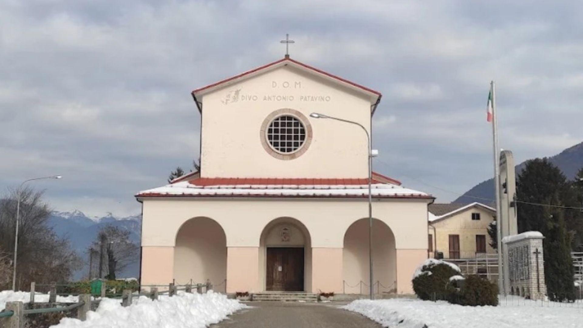
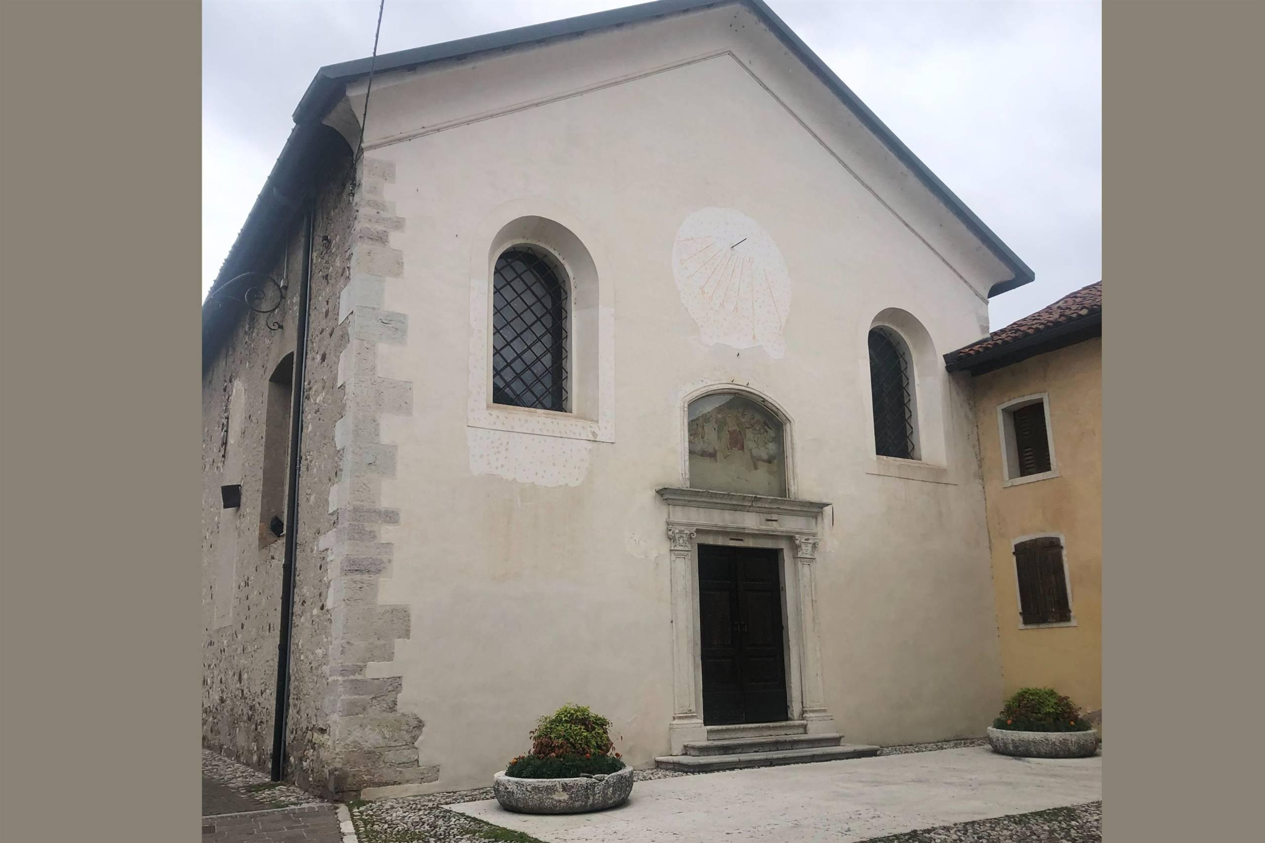
Chiesa del Sacro Cuore di Gesù
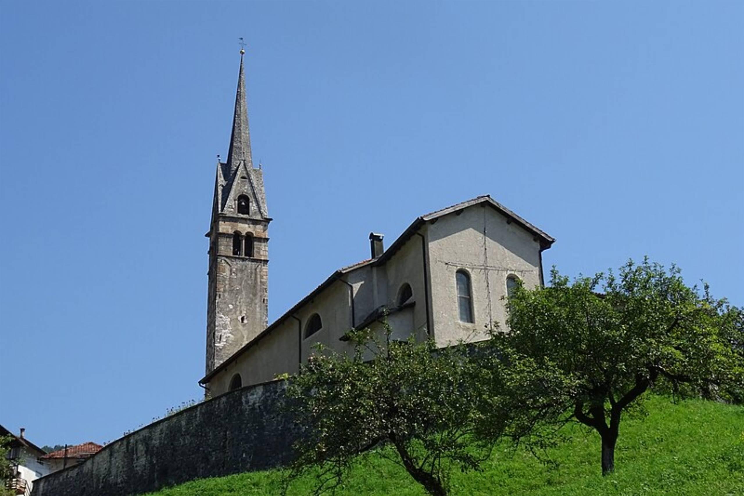
A church at Lamon, on the plateau between the Cismon and the Senaiga in the western Feltrino.
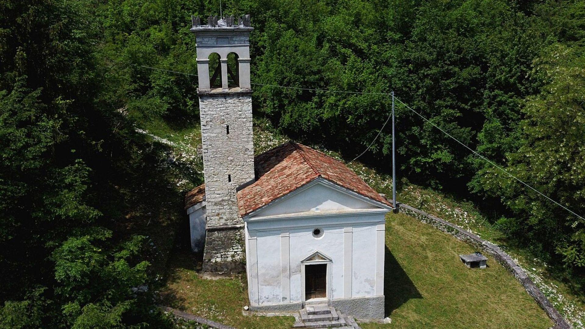
Chiesa di San Daniele
A church in the Lamon area, on the high ground west of Feltre near the Trentino border.
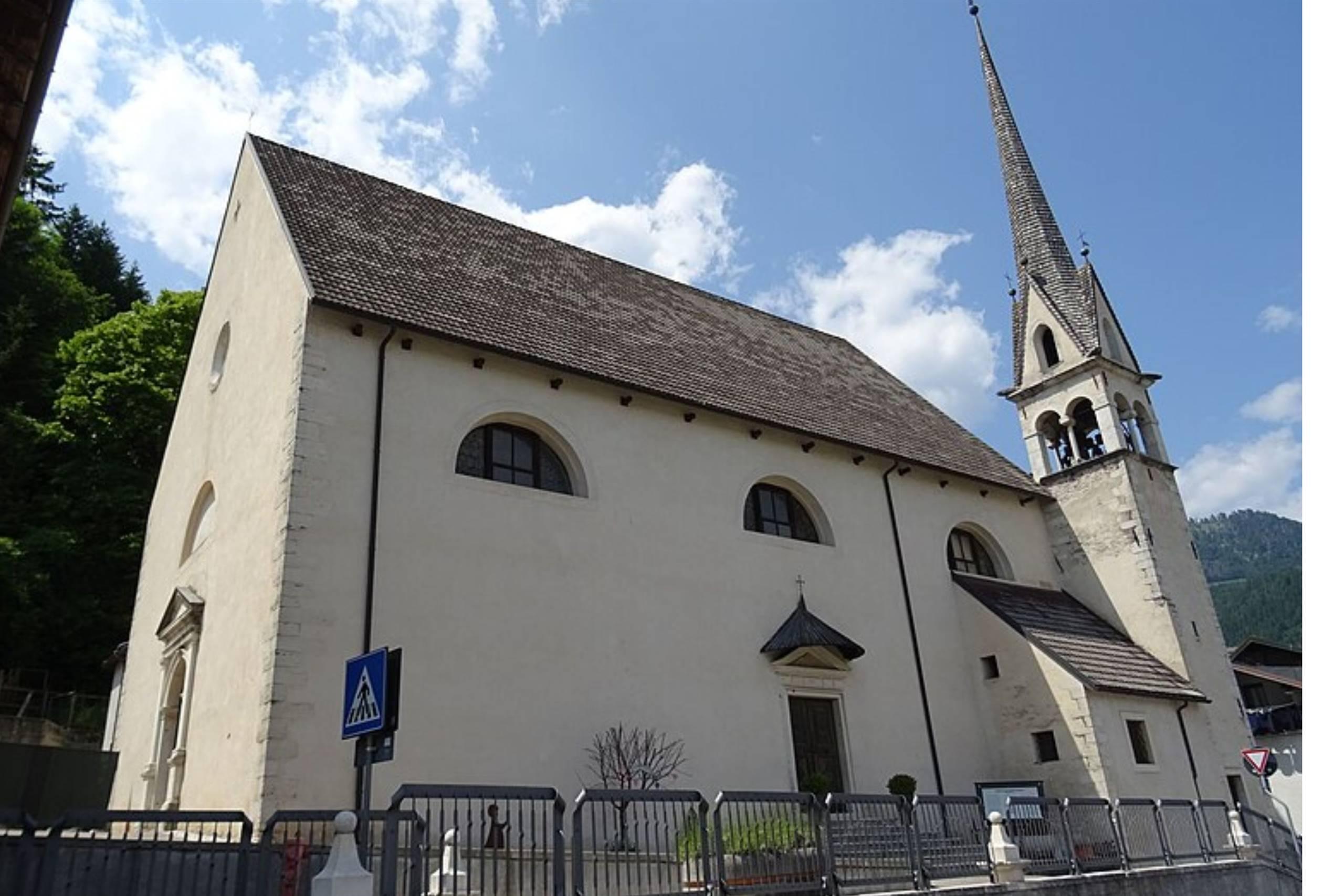
Chiesa di San Pietro Apostolo
The parish church of Lamon, standing on the plateau above the Senaiga valley.
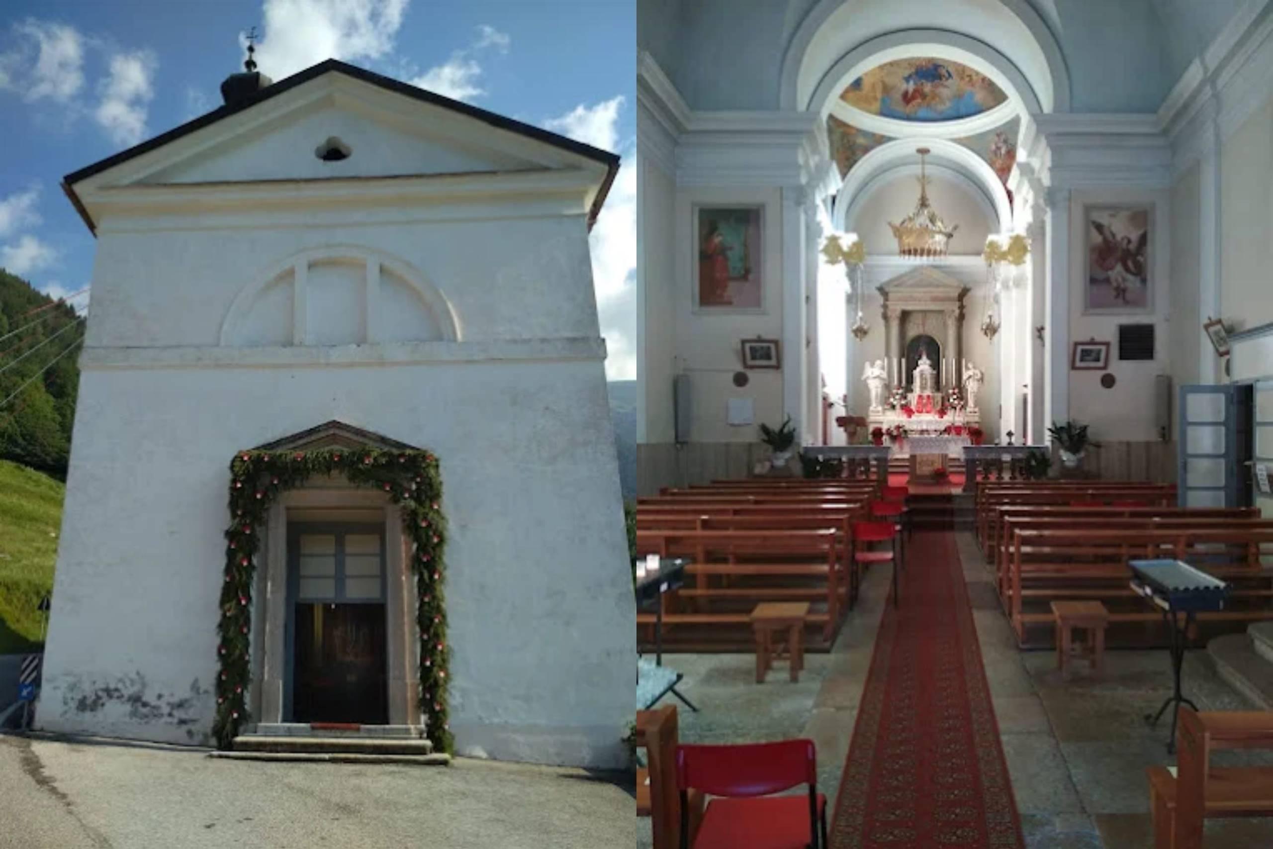
Chiesa di Santa Maria Assunta
4.4 km away, in Sovramonte
A church of Santa Maria Assunta in Sovramonte, on the slopes below the Vette Feltrine in the Dolomiti Bellunesi national park.
Rifugio La Casermetta
7.3 km away, in Arsiè
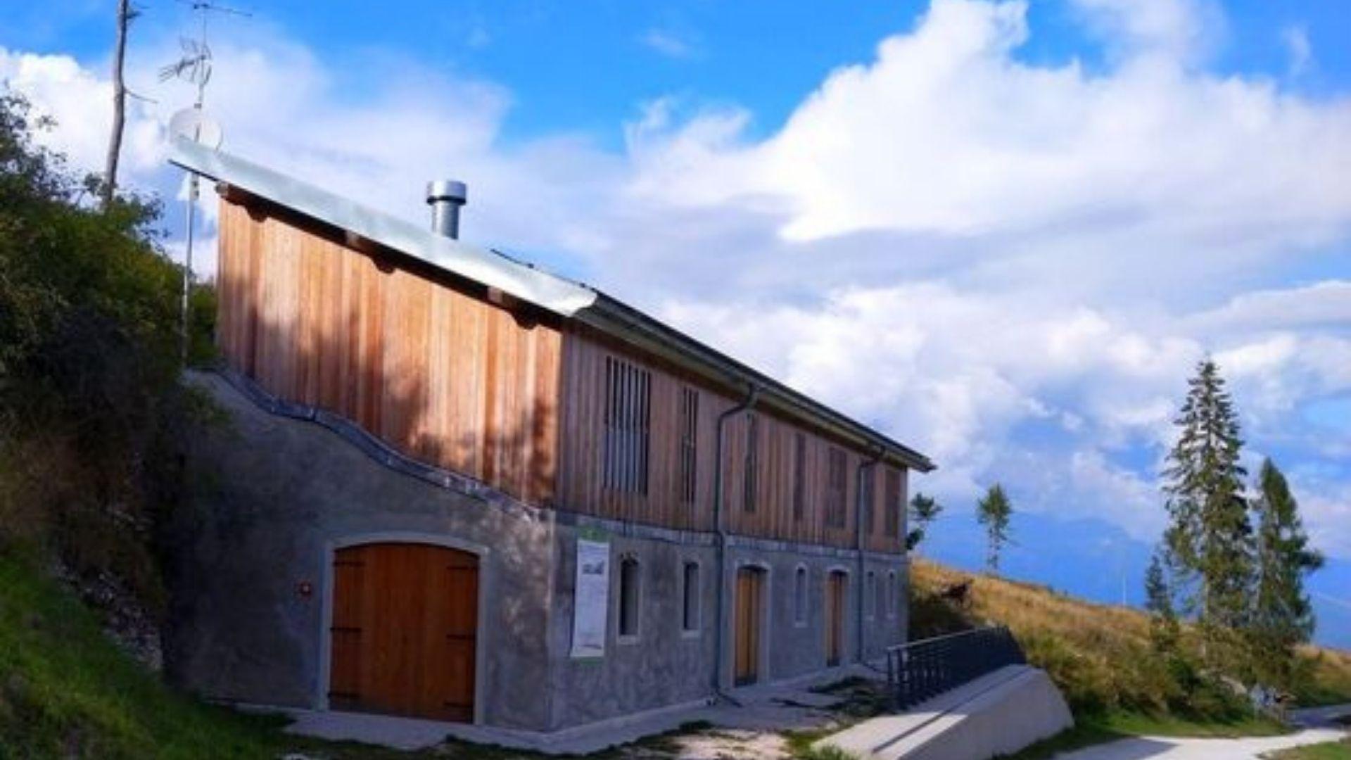
A hut on the wooded ridges above Arsiè, between the Lago del Corlo and the Grappa massif.
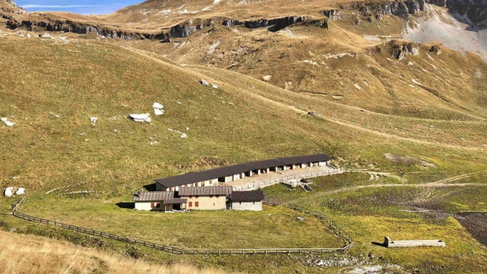
Malga Monsampian
7.3 km away, in Sovramonte
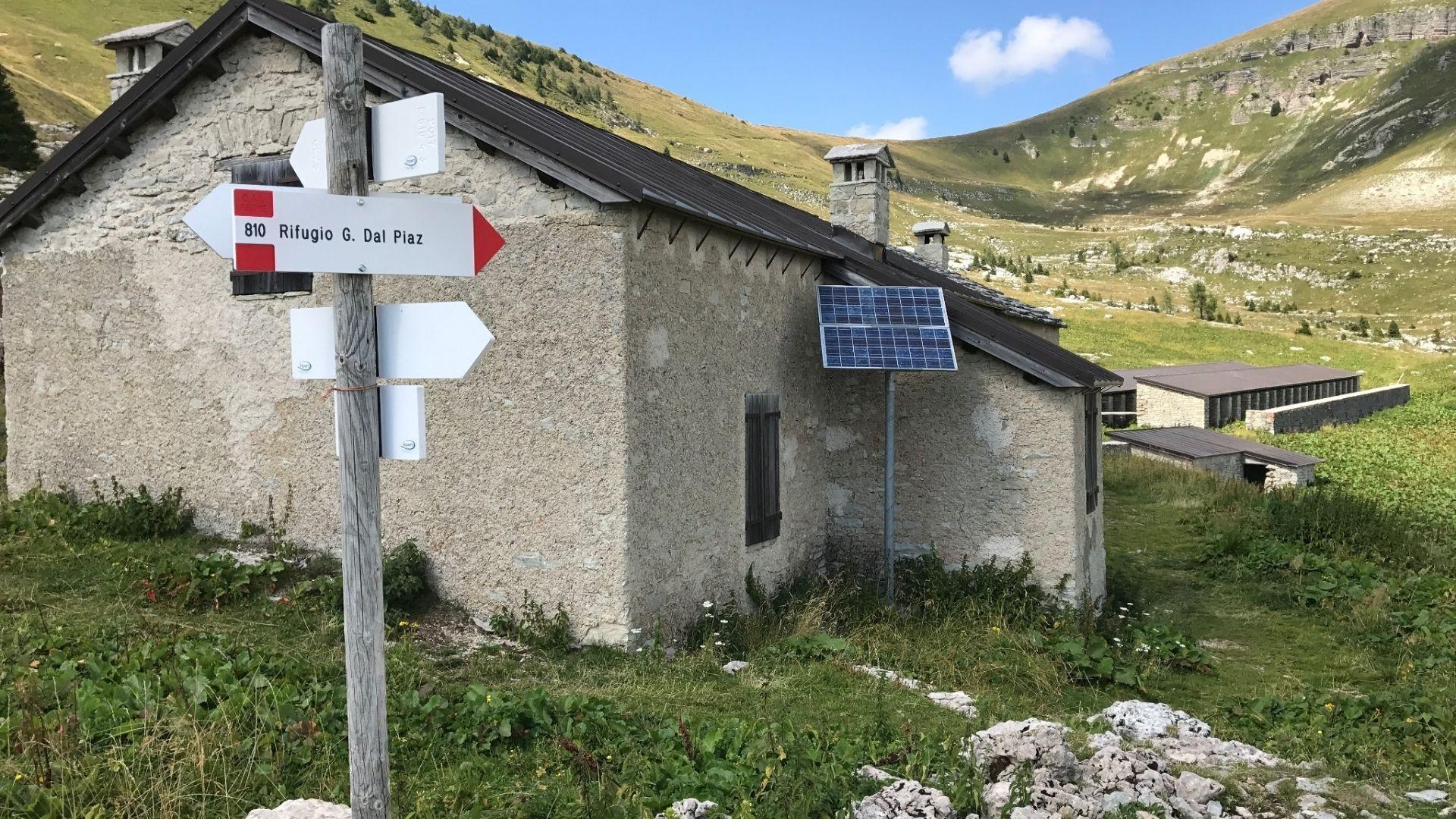
An alpine pasture hut above Sovramonte, on the grassland below the Vette Feltrine in the Dolomiti Bellunesi national park.
Chiesa di S. Pietro Apostolo
9.3 km away, in Sovramonte
A church dedicated to Peter the Apostle in Sovramonte, the valley of scattered villages above the Cismon, north-west of Feltre.
Malga Vette Grandi
9.6 km away, in Sovramonte
A malga on the high pastures of the Vette Feltrine above Sovramonte, inside the Dolomiti Bellunesi national park.
Lago del Corlo
10 km away, in Arsiè
A reservoir on the Cismon in the hills of Arsiè, its narrow arms held back by a dam below the Grappa massif.
Chiesa Nuova dei Santi Ippolito, Cassiano e Antonio da Padova
11 km away, in Arsiè
The newer parish church of Arsiè, dedicated to Hippolytus, Cassian and Anthony of Padua, in the hills above the Lago del Corlo.
Chiesa Antica dei Santi Ippolito, Cassiano e Antonio da Padova
11.4 km away, in Arsiè
The old parish church of Arsiè, above the Cismon valley near the Lago del Corlo, dedicated to Hippolytus, Cassian and Anthony of Padua.
Chiesa di S.Maria degli Angeli
14.1 km away, in Feltre
A church in Feltre, in the Valbelluna between the Feltre Dolomites and the Piave.
Museo Diocesano Belluno Feltre
14.4 km away, in Feltre
The diocesan museum of Belluno and Feltre, with sacred art and furnishings gathered from churches across the Feltrino and the Valbelluna.
Nothing of this kind in Lamon.
Routes
11 from neighbouring places
CAI Trail 822 (Coppolo-Passo Brocòn)
An old military mule track, also called the Gramolir trail, along the quiet north side of Monte Coppolo, facing the Vette Feltrine and the Lagorai.
- 6.7 km
- Distance
- 79 m
- Ascent
- 1 h 49 min
- Duration
- 2
- Check-ins
Open route CAI Dolomiti BellunesiCAI path 821 of Coppolo
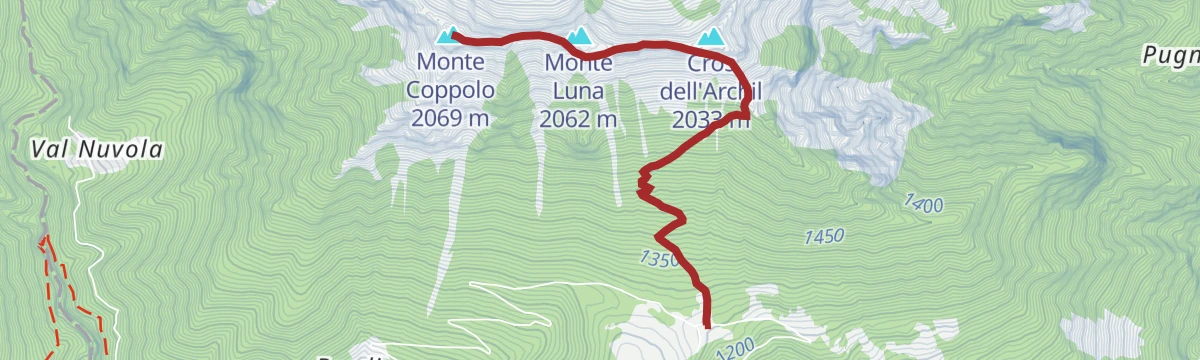
The climb to Monte Coppolo, in forest then on open slopes, following the memorial path with its war plaques and the monument to the airman Josef Kiss.
- 3.6 km
- Distance
- 906 m
- Ascent
- 3 h 25 min
- Duration
- 36
- Check-ins
 Monte Luna 2 062 m
- Monte Coppolo 2 069 m
- Pilastro della Mezzaluna 2 035 m
 La Mezzaluna 2 004 m
 Baita Tabià 1 263 m
Open route CAI Dolomiti BellunesiLamon Le Ej-Passo Brocòn-Coppolo-Lamon Le Ej
A long ring from Le Ej di Lamon to the Brocòn pass and back over Monte Coppolo, returning by the quiet Gramolir path on the north side.
- 14.4 km
- Distance
- 1 410 m
- Ascent
- 8 h 43 min
- Duration
- 38
- Check-ins
- Monte Luna 2 062 m
- Monte Coppolo 2 069 m
- Pilastro della Mezzaluna 2 035 m
- La Mezzaluna 2 004 m
- Baita Tabià 1 263 m
- Malga Valarica di Sopra 1 684 m
- +1
Open route CAI Dolomiti BellunesiSentiero del Ponte Romano
A short walk from Lamon down to the old stone bridge over the stream, known locally as the Roman bridge.
- 3.2 km
- Distance
- 0 m
- Ascent
- 45 min
- Duration
Torrente Senaiga C1
A long, mostly level route following the Senaiga stream through the woods below the Passo Brocon.
- 9.8 km
- Distance
- 206 m
- Ascent
- 4 h 6 min
- Duration
Open route Trentino FishingOn Monte Coppolo, where the gaze runs far
A long route over Monte Coppolo and Monte Piad, up by the memorial path and down the Gramolir, with the Lagorai and the Pale di San Martino in sight.
- 17.5 km
- Distance
- 1 186 m
- Ascent
- 7 h 58 min
- Duration
- 35
- Check-ins
- Monte Coppolo 2 069 m
- Pilastro della Mezzaluna 2 035 m
- Monte Piad 1 776 m
- La Mezzaluna 2 004 m
- Baita Tabià 1 263 m
- Malga Valarica di Sopra 1 684 m
- +1
Open route CAI Dolomiti BellunesiTorrente Senaiga C2
A short level section along the Senaiga torrent, on the wooded floor of the valley below the Passo Brocon.
- 2.3 km
- Distance
- 0 m
- Ascent
- 1 h 19 min
- Duration
Open route Trentino FishingMonte Coppolo from Lamòn Le Ej
The ascent of Monte Coppolo from Le Ej on trail 821, along the memorial path, to a summit that looks from the Lagorai across to the Grappa group.
- 9.7 km
- Distance
- 1 050 m
- Ascent
- 6 h 23 min
- Duration
- 28
- Check-ins
Open route CAI Dolomiti BellunesiTorrente Vanoi A1
An easy path beside the Vanoi torrent at Sovramonte, on the border between the Veneto and the Trentino.
- 3.2 km
- Distance
- 175 m
- Ascent
- 1 h 10 min
- Duration
Open route Trentino FishingBy e-bike to Rifugio Bruno Boz
5.5 km away, in Sovramonte
A long climb inside the Belluno Dolomites park, on dirt and paved roads up the south side of the Vette Feltrine to the refuge at 1,718 m.
- 47.0 km
- Distance
- 2 686 m
- Ascent
- 7 h 12 min
- Duration
- 37
- Check-ins
- Rifugio Bruno Boz 1 718 m
- Rifugio Vederna 1 324 m
- Bivacco Invernale Matteo Fiori 1 727 m
- Malga Neva Seconda 1 746 m
- Rifugio Fonteghi 1 100 m
- Casina Forestale di Valpiana 1 132 m
- +2
Open route CAI Dolomiti BellunesiMTB - Tesino Bike - Brocon Malene 2306
7.1 km away, in Cinte Tesino
A long downhill run off the pass into the Val Malene, following forest roads beside the Grigno stream to the bike grill at Castello Tesino.
- 14.6 km
- Distance
- 35 m
- Ascent
- 1 h 37 min
- Duration
- 11
- Check-ins
- Passo Brocon 1 616 m
- Hotel Pizzo degli Uccelli 1 620 m
- Albergo Passo Brocon 1 617 m
- Casa Anselmi 1 604 m
- Villaggio Degasperi 1 071 m
- Maso Lagorai 1 492 m
- +1
Open route APT Valsugana e LagoraiMTB - Tesino Bike - Brocon Cascatella 2303
7.1 km away, in Cinte Tesino
A shuttle-assisted descent from Passo Brocon on forest road, passing the Tesino cave before rolling out at Castello Tesino.
- 15.2 km
- Distance
- 423 m
- Ascent
- 2 h 2 min
- Duration
- 10
- Check-ins
- Passo Brocon 1 616 m
- Hotel Pizzo degli Uccelli 1 620 m
- Albergo Passo Brocon 1 617 m
- La casa ai confini 1 151 m
Open route APT Valsugana e LagoraiBack-country skiing - Chalet Paradiso
8.2 km away, in Castello Tesino
A ski-touring approach towards Monte Agaro following the forest road past Casa Saronnese, above the Tesino plateau.
- 8.0 km
- Distance
- 266 m
- Ascent
- 266 m
- Descent
- 2 h 17 min
- Duration
- 5
- Check-ins
Open route APT Valsugana e LagoraiFerrata di San Silvestro
9.3 km away, in Imer
A short via ferrata built in 2025 below the San Silvestro church on Monte Totoga, in two mostly easy sections with a few harder, slightly exposed moves.
- 3.3 km
- Distance
- 531 m
- Ascent
- 3 h 44 min
- Duration
- 3
- Check-ins
Open route APT San Martino di Castrozza, Primiero e VanoiRoadbike Passo Gobbera (Canal San Bovo - Fiera di Primiero)
10.4 km away, in Canal San Bovo
A brief road climb over the pass that divides the Vanoi from Primiero, topping out at 989 m before the drop to Fiera.
- 11.6 km
- Distance
- 302 m
- Ascent
- 1 h 22 min
- Duration
- 2
- Check-ins
Open route APT San Martino di Castrozza, Primiero e VanoiVia Ferrata Val di Scala
12 km away, in Canal San Bovo
A short via ferrata in the Val di Scala near Canal San Bovo, reached almost from the car and used as a first outing for children and beginners.
- 798 m
- Distance
- 145 m
- Ascent
- 1 h 2 min
- Duration
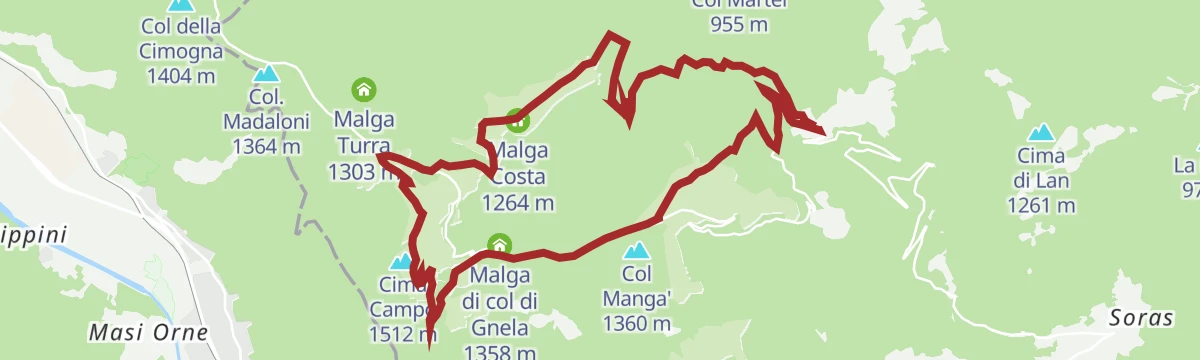
Open route APT San Martino di Castrozza, Primiero e VanoiA lion defending Italy: excursion and visit to the military fortress of Cima Campo
5.7 km away, in Arsiè
A walk to the grassy top of Cima Campo and Forte Leone, a large fort open to small guided groups, with the Grappa and the Pale di San Martino around.
- 15.0 km
- Distance
- 585 m
- Ascent
- 4 h 57 min
- Duration
- 10
- Check-ins
- Cima Campo 1 512 m
- Malga Cima Campo 1 478 m
- Malga Costa 1 264 m
- Casermetta 1 382 m
- Malga di col di Gnela 1 358 m
- Agriturismo Malga Celado 1 315 m
Open route CAI Dolomiti BellunesiVallazza from Col dei Mich (Zorzoi)
4.2 km away, in Sovramonte
A quiet climb to Vallazza, the summit at the western end of the Vette Feltrine, with chamois about and views to the Grappa, the Lagorai and the Pale.
- 10.4 km
- Distance
- 1 361 m
- Ascent
- 7 h 59 min
- Duration
- 6
- Check-ins
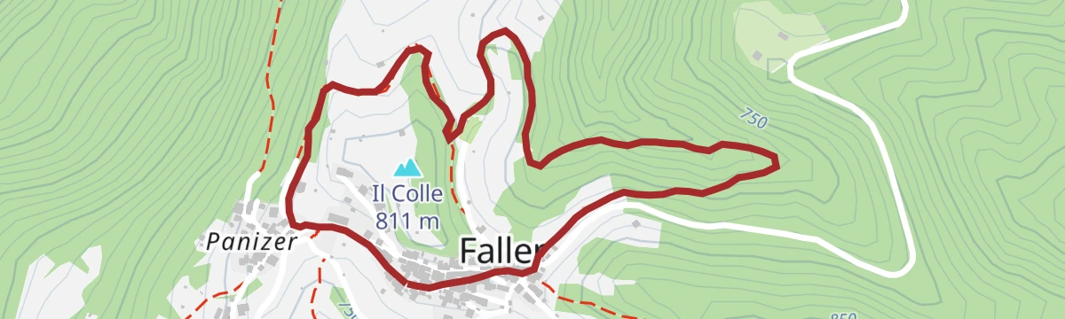
Open route CAI Dolomiti BellunesiItinerario del Pom Prussian
4.9 km away, in Sovramonte
A short easy loop at Faller, through the apple orchards under the Vette Feltrine, built around local varieties and cooking.
- 2.2 km
- Distance
- 59 m
- Ascent
- 40 min
- Duration
Roadbike - Grigno - Passo Brocon
8.6 km away, in Grigno
A road climb out of the Grigno valley over Castello Tesino, finishing on the hairpins that lead up to Passo Brocon at 1,616 m.
- 27.9 km
- Distance
- 1 819 m
- Ascent
- 3 h 43 min
- Duration
- 11
- Check-ins
- Passo Brocon 1 616 m
- Hotel Pizzo degli Uccelli 1 620 m
- Al Tastavin 882 m
- Albergo Passo Brocon 1 617 m
- Chalet Heidi 1 615 m
Open route APT Valsugana e Lagorai
No routes of this kind in Lamon yet.
The region's own picks

Featured route
CAI Trail 822 (Coppolo-Passo Brocòn)
An old military mule track, also called the Gramolir trail, along the quiet north side of Monte Coppolo, facing the Vette Feltrine and the Lagorai.
Planning a trip to Lamon?
Everything else Veneto has, in one place


Take Lamon with you into the mountains
Every route on this page with 3D terrain, GPX navigation and offline maps — including the valleys with no signal.
Data sources
- Official website: dolomitiprealpi.it ↗
- Routes and highlights: Dolomitiprealpi, CAI Dolomiti Bellunesi, APT Valsugana e Lagorai, Trentino Fishing, APT San Martino di Castrozza, Primiero e Vanoi
- Published as open data by the tourist boards named above.
- Region summary generated from the board's own material.
