
 Via ferrata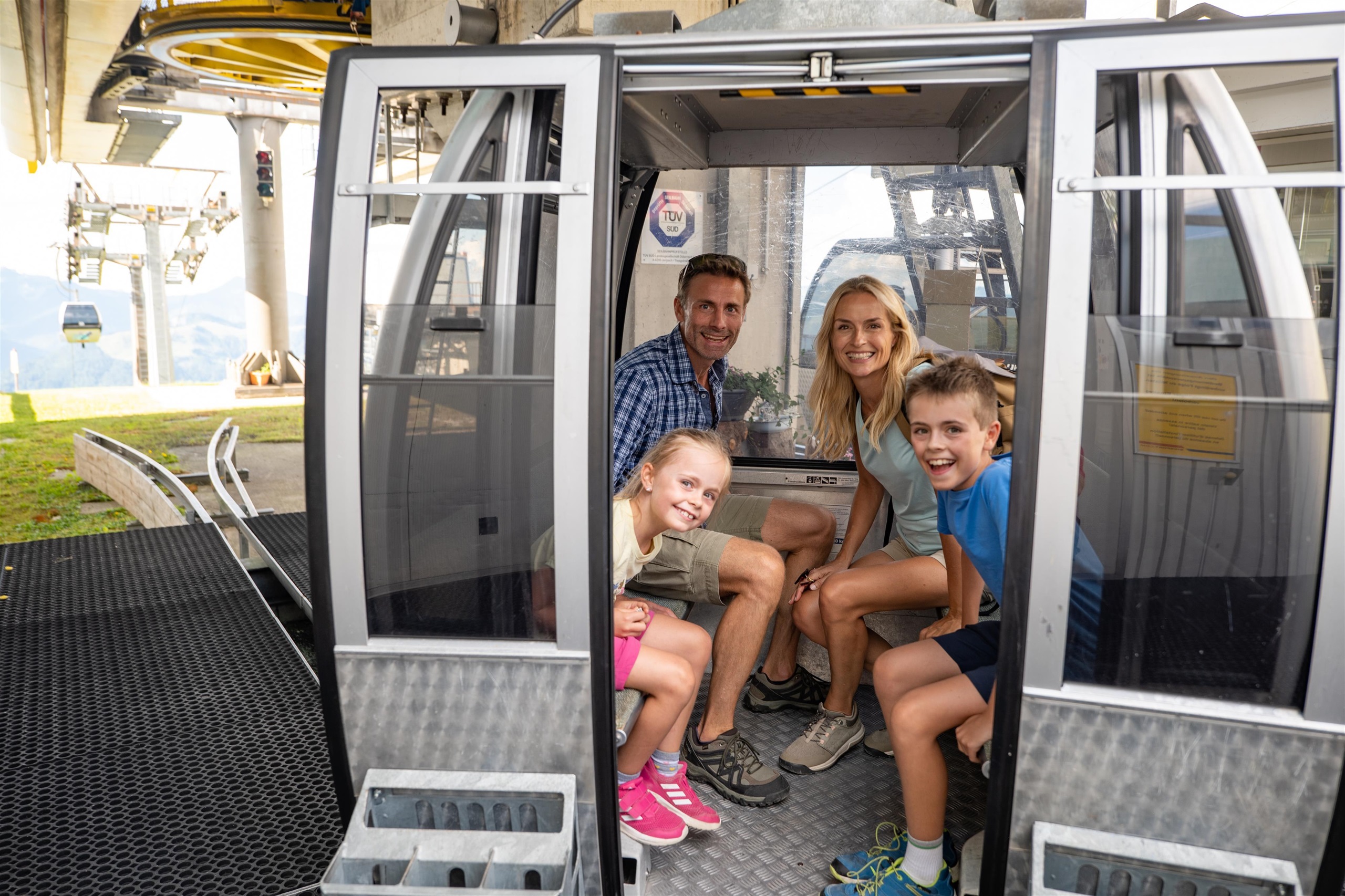
 Cable car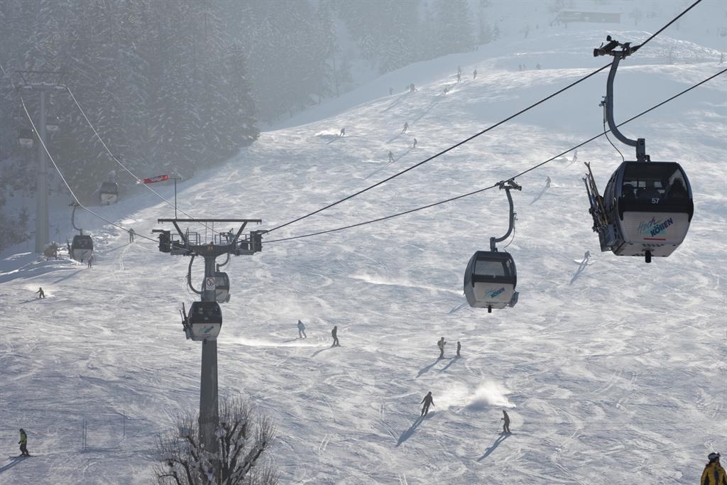





















Curated by Kaiserwinkl Tourismus
Kössen
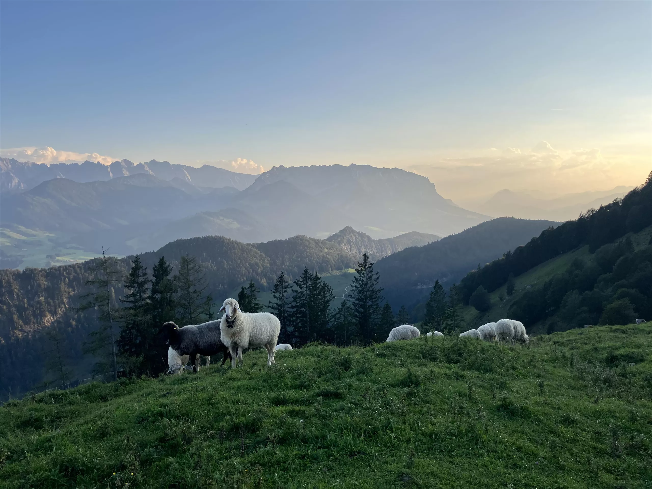
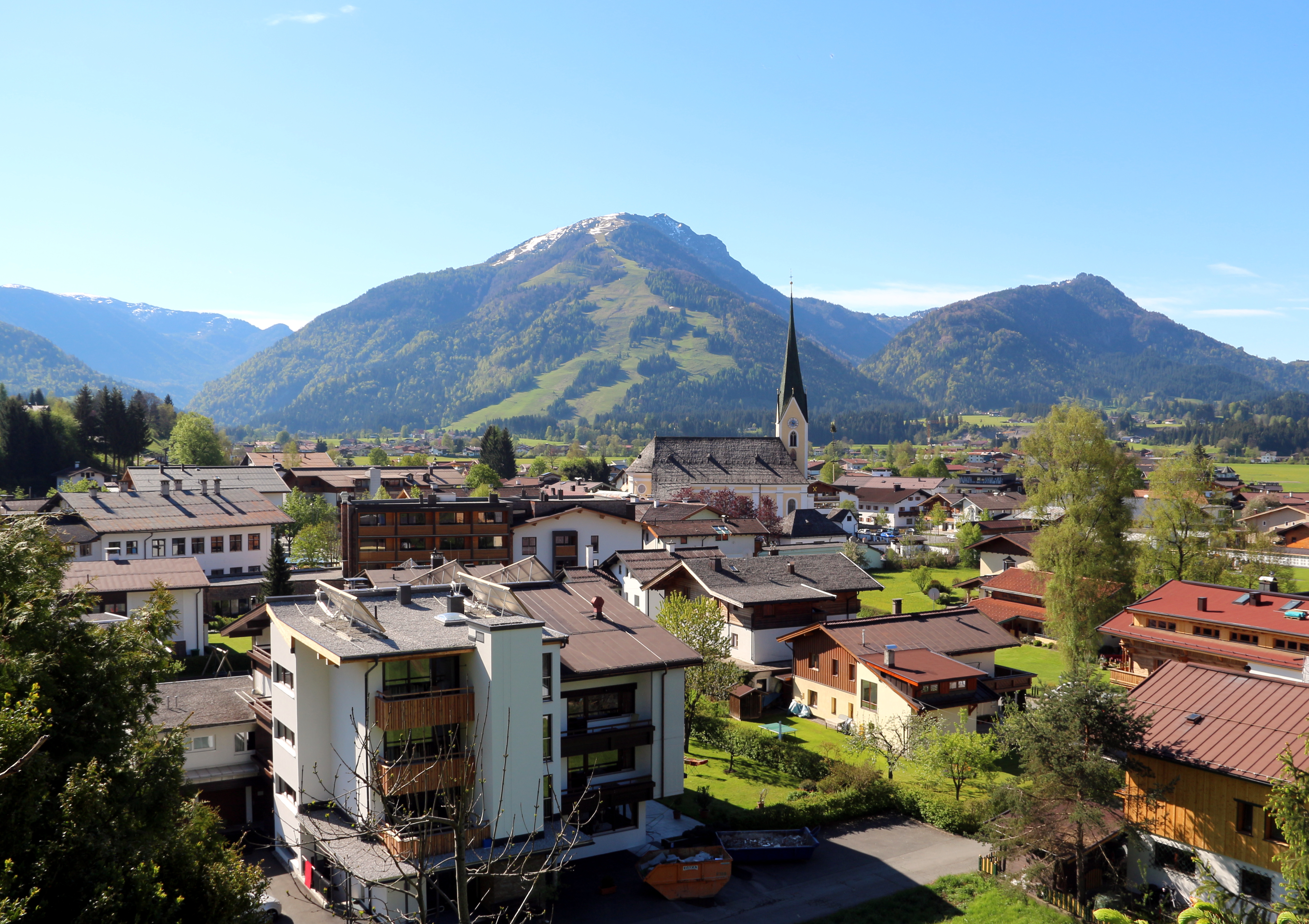
In the wide Kaiserwinkl basin near the Bavarian border, where the Grossache leaves for Chiemsee country, a paragliding and water-sports village at 590 m.
Photo: Braveheart · CC BY-SA 4.0 licence
- 22Highlights
- 80Routes
- Featured summit · Unterberghorn
Highlights
The 20 highest-rated · see the rest on kaiserwinkl.com ↗
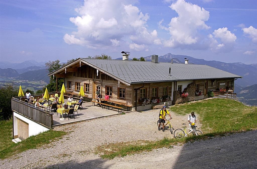
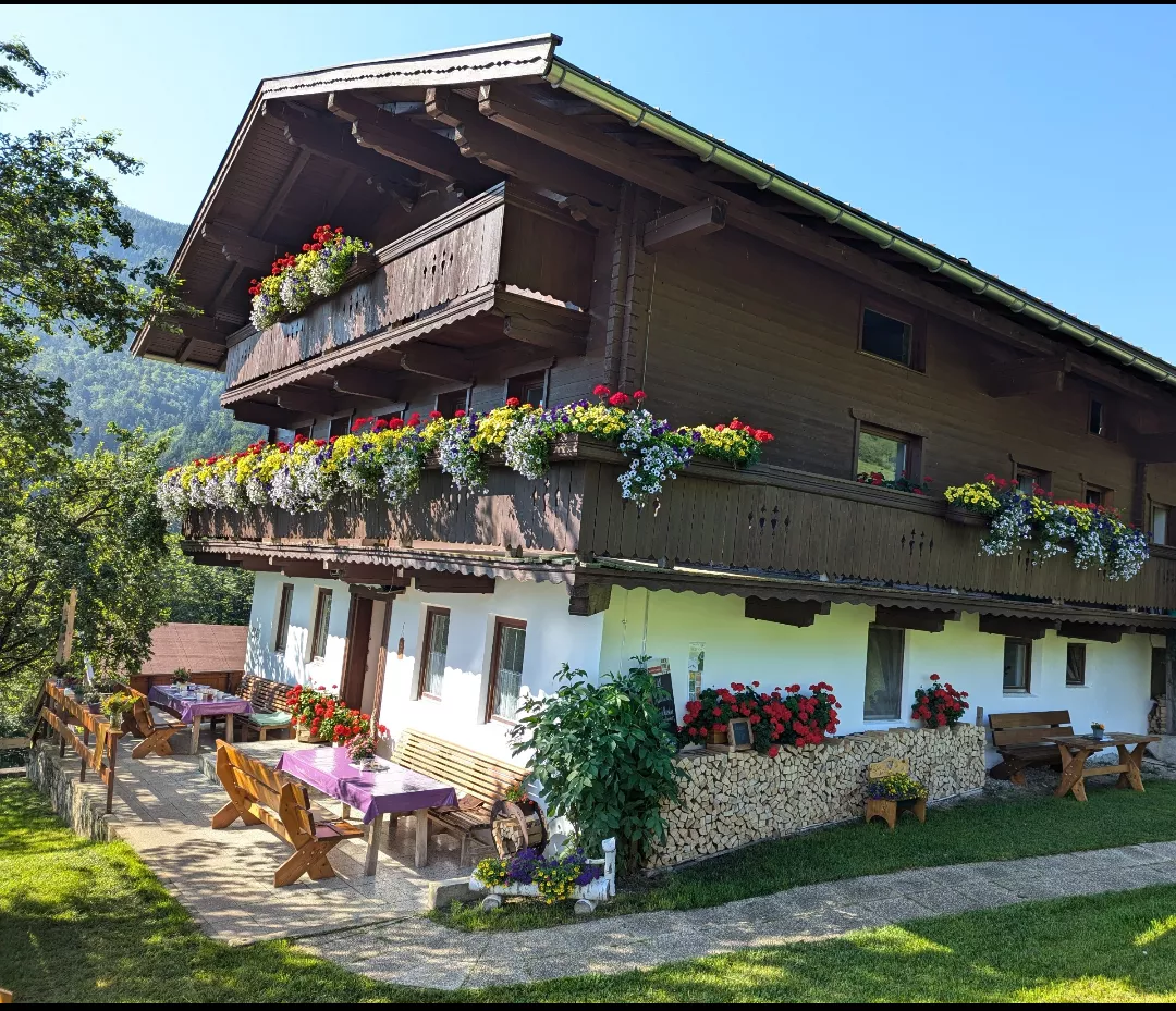
Alpengasthof Scheibenwald
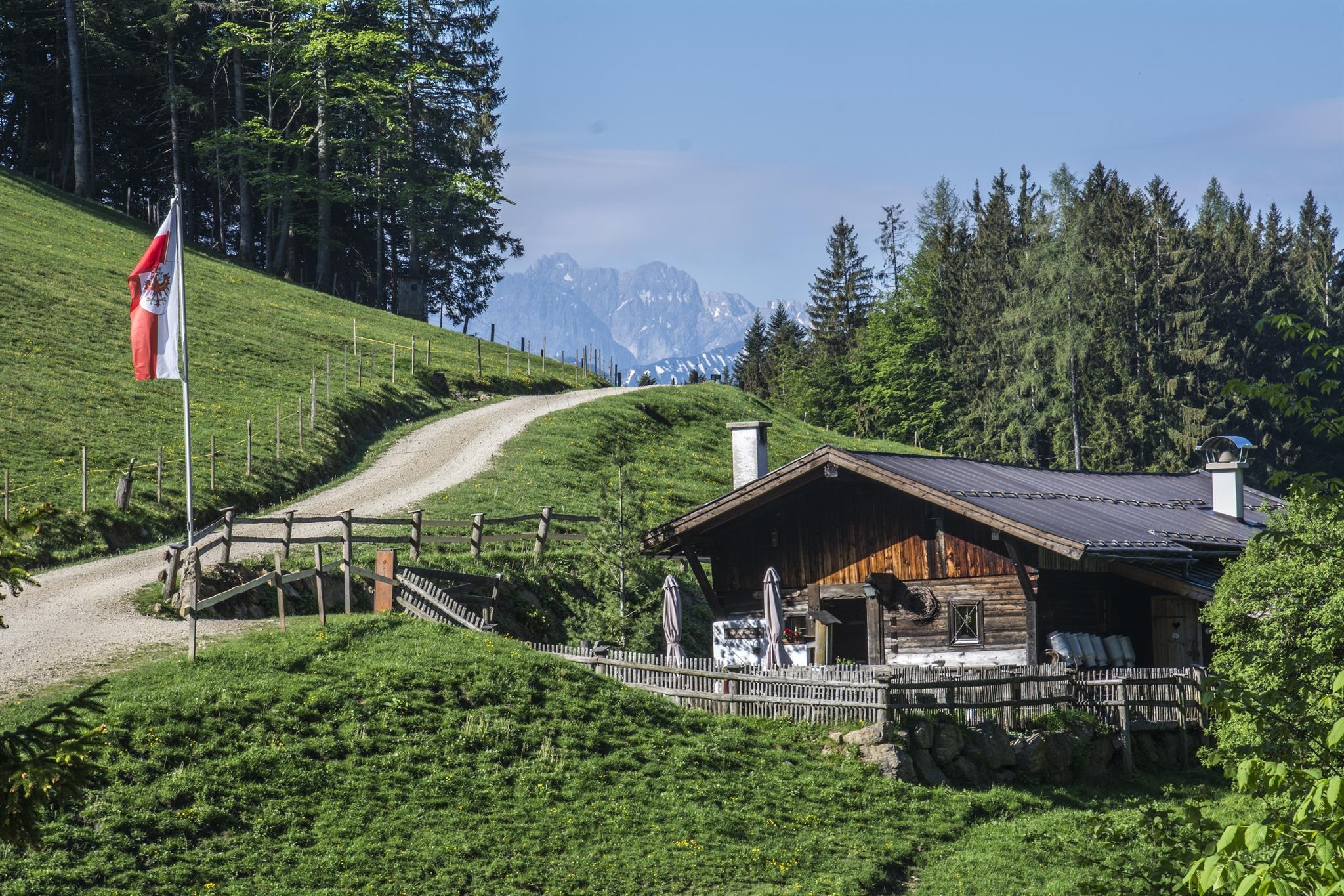
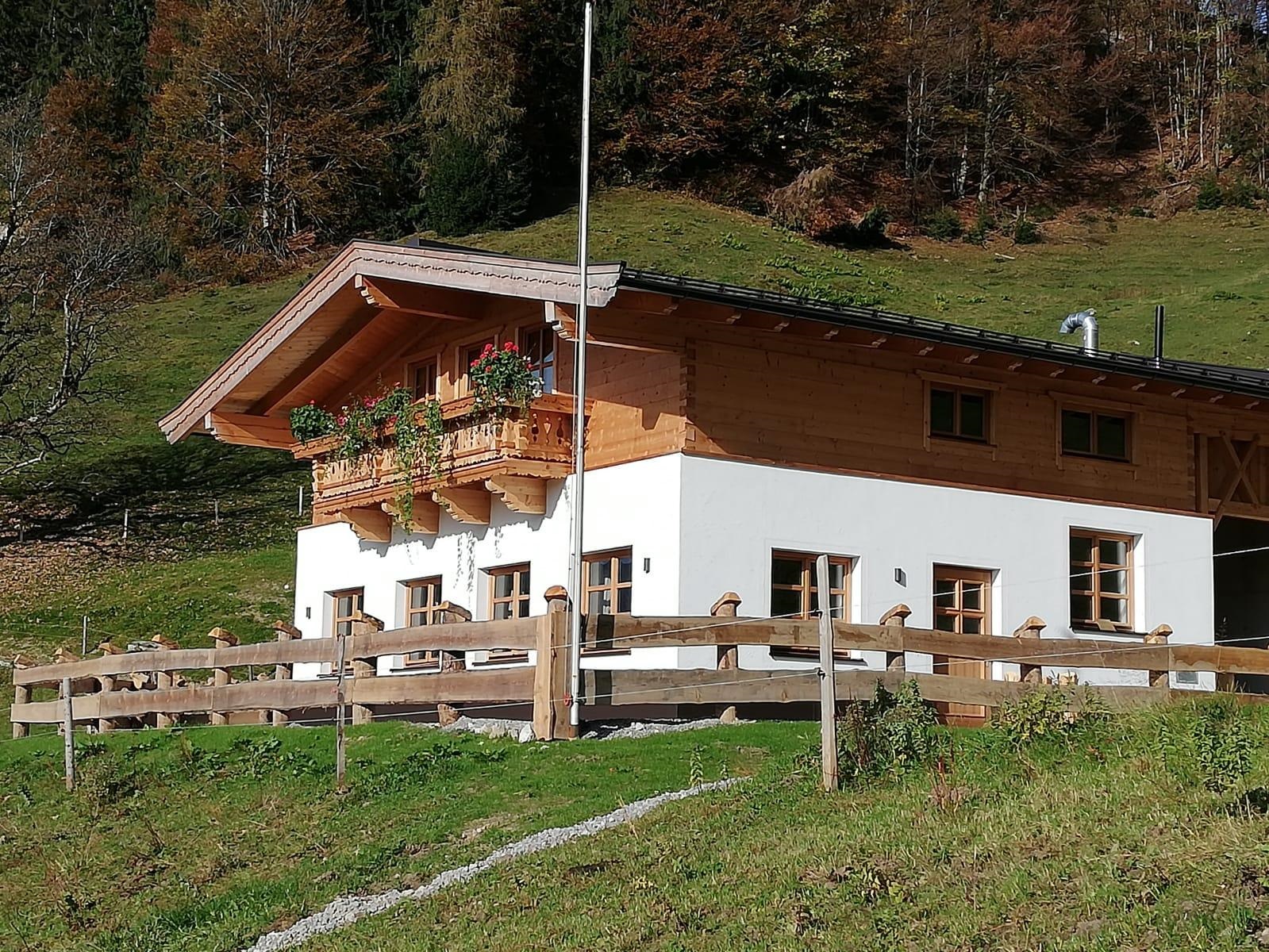
An alpine inn at Scheibenwald above Kössen, serving regional dishes to walkers and skiers in the Kaiserwinkl.
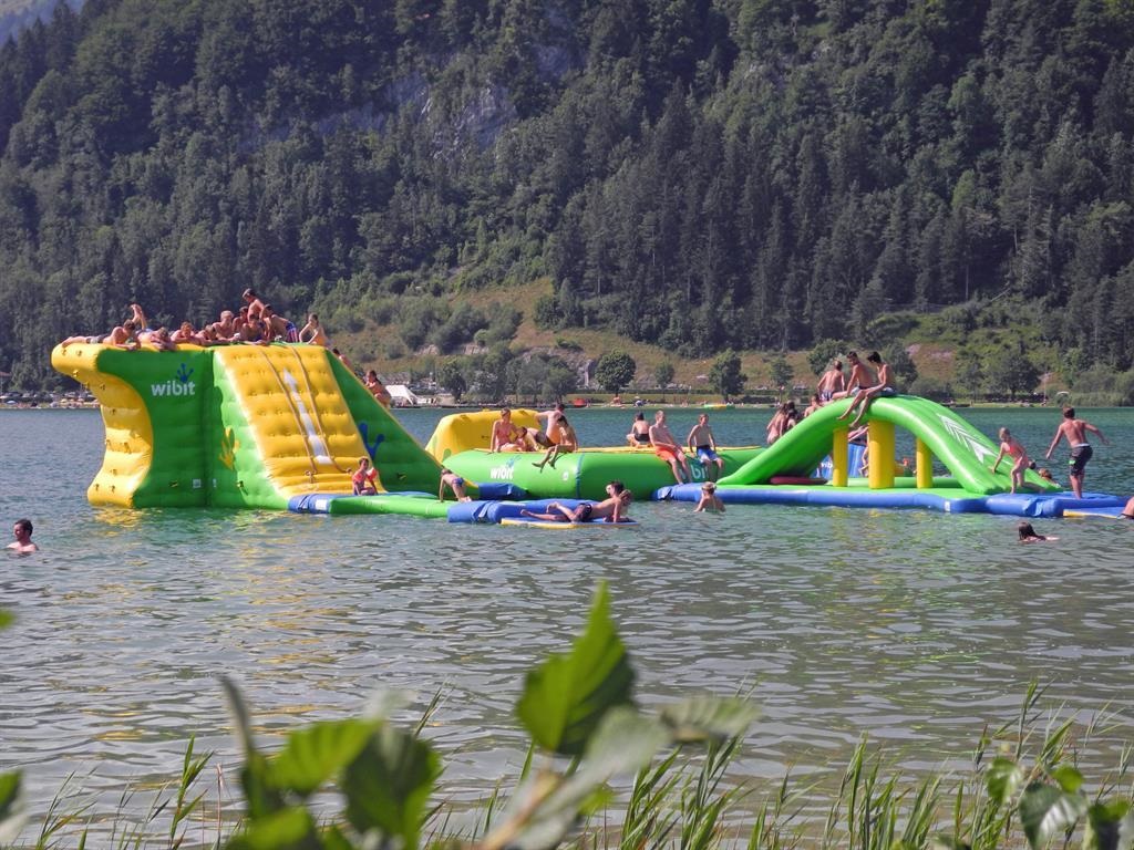
Badestrand Ostufer mit Aqua-Funpark
A bathing beach on the east shore of the Walchsee with an inflatable Aqua Funpark on the water and a playground for children.
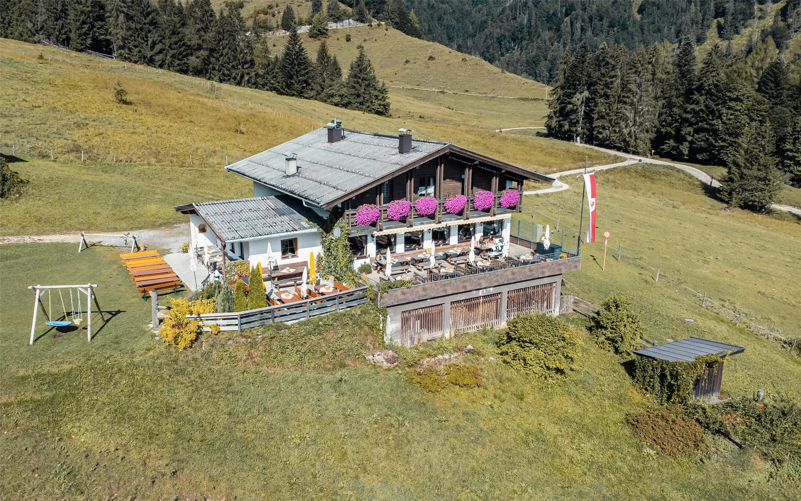
Berghütte/Berggasthof Edernalm
A mountain inn on the Edernalm above Kössen, a pasture stop serving regional dishes to walkers in the Kaiserwinkl.
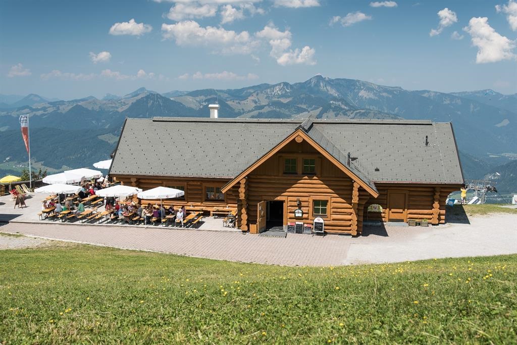
Bärenhütte
A mountain hut above Kössen whose name means bear hut, serving regional food on the slopes of the Unterberghorn area.
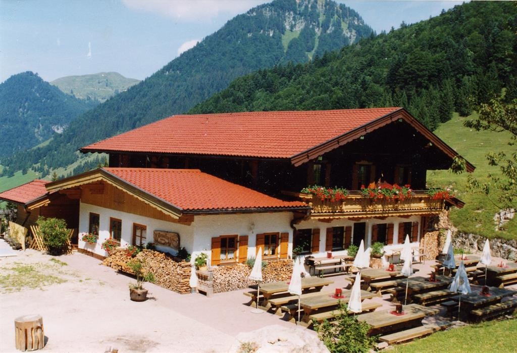
Frankenalm
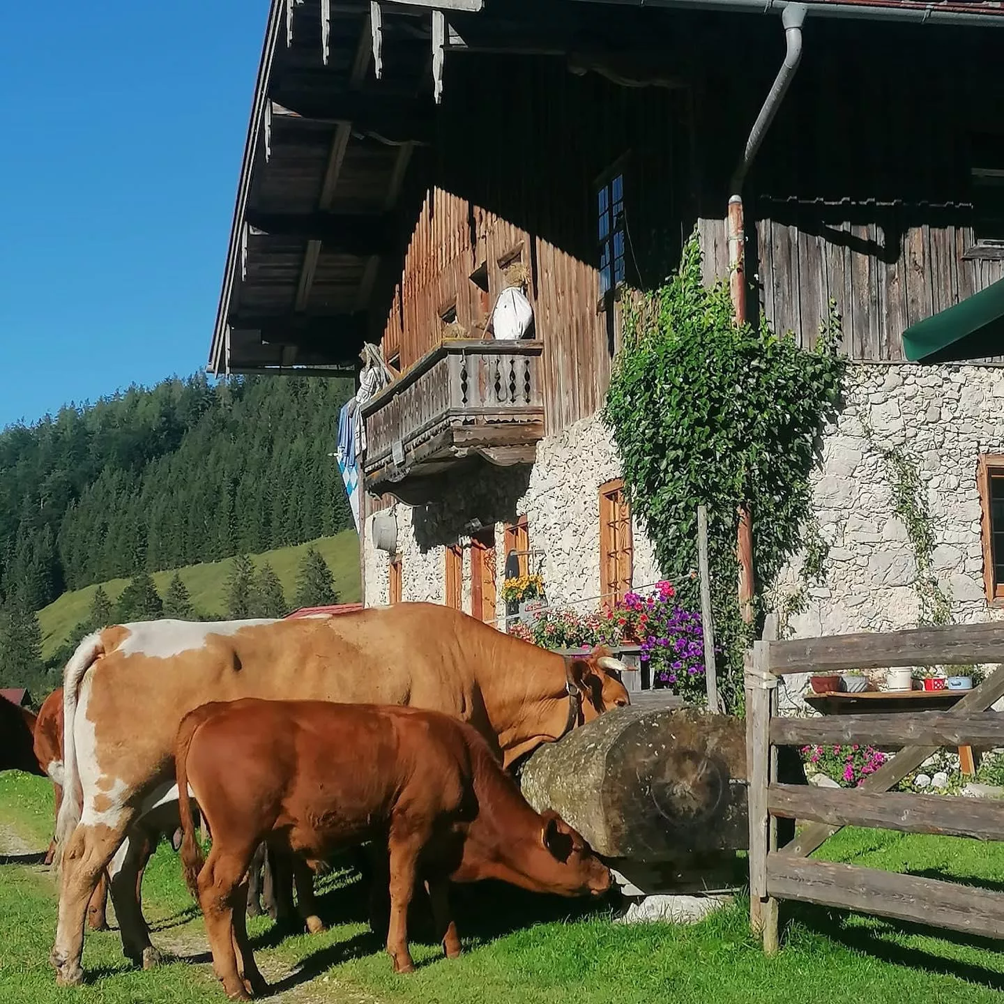
An alm above Kössen near the Bavarian border, serving regional food to walkers on the meadows of the Chiemgau Alps.
Haraualm
A pasture hut on the slopes above the Walchsee, serving regional dishes to walkers between the lake and the ridges of the Kaiserwinkl.
Hinhagalm
An alm above Kössen in the Kaiserwinkl, a mountain restaurant stop on walking routes between the valley floor and the ridge crests.
Klausenbergalm
A pasture hut on the Klausenberg above Kössen, serving regional food to walkers in the eastern Kaiserwinkl.
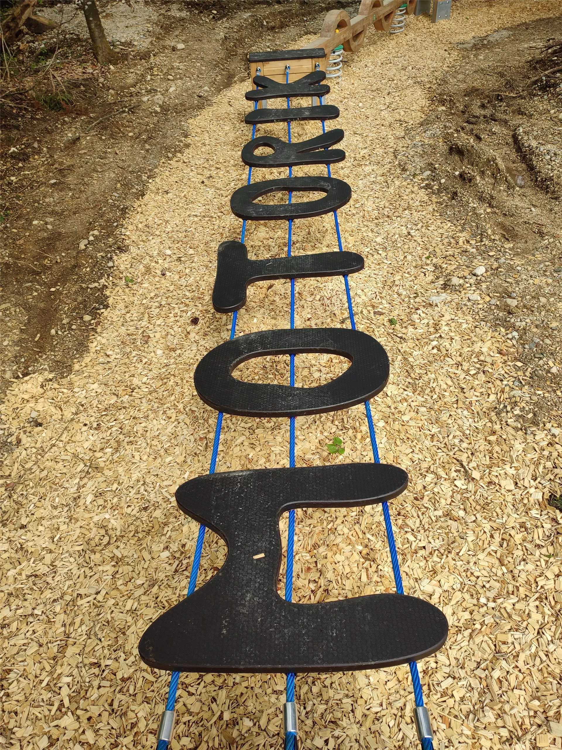
Motorikpark Kössen
An outdoor motor-skills park in Kössen with exercise stations for balance, climbing and coordination, laid out for families and sports groups.
Naringalm
An alm above Kössen in the Kaiserwinkl, serving regional dishes to walkers during the summer grazing season.
Ottenalm
A pasture hut above the Walchsee with a wide view of the Zahmer Kaiser, reached by an easy walk from the lake and serving regional dishes.
Raineralm
An alm above Walchsee at the foot of the Zahmer Kaiser, a mountain restaurant stop on the area's walking routes.
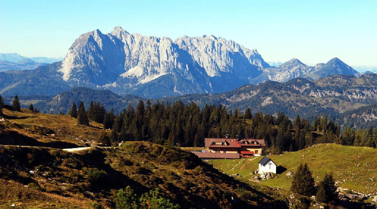
Straubingerhaus - Eggenalm
A mountain house on the Eggenalm high pasture above Kössen near the Bavarian border, offering meals and overnight beds to walkers.
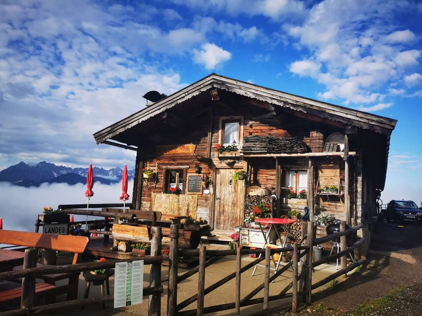
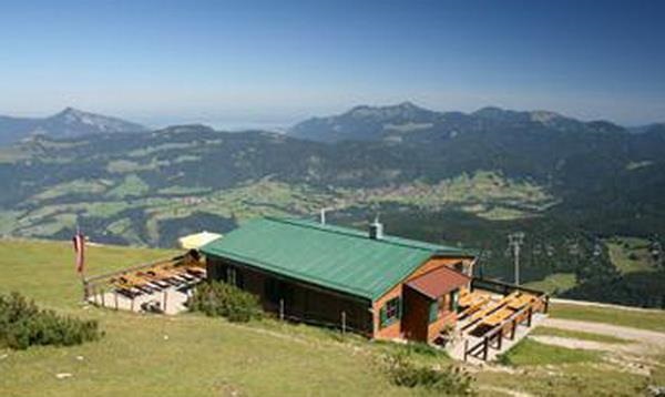
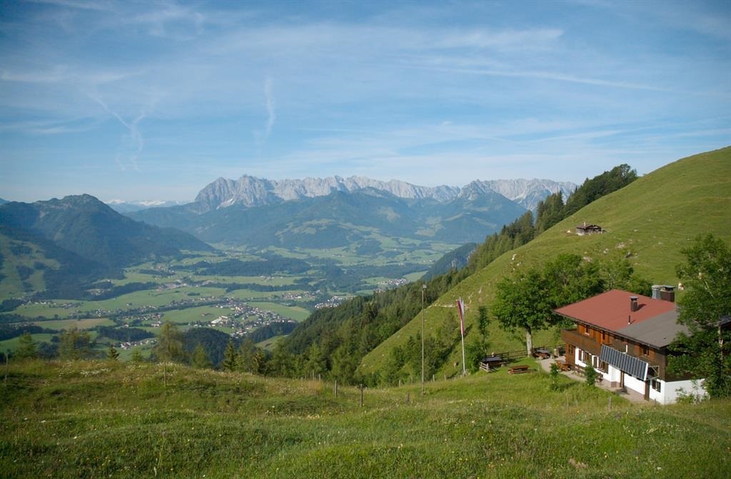
Unterberghornhütte
A hut near the summit area of the Unterberghorn, the local mountain of Kössen, serving skiers and walkers using the Hochkössen lifts.
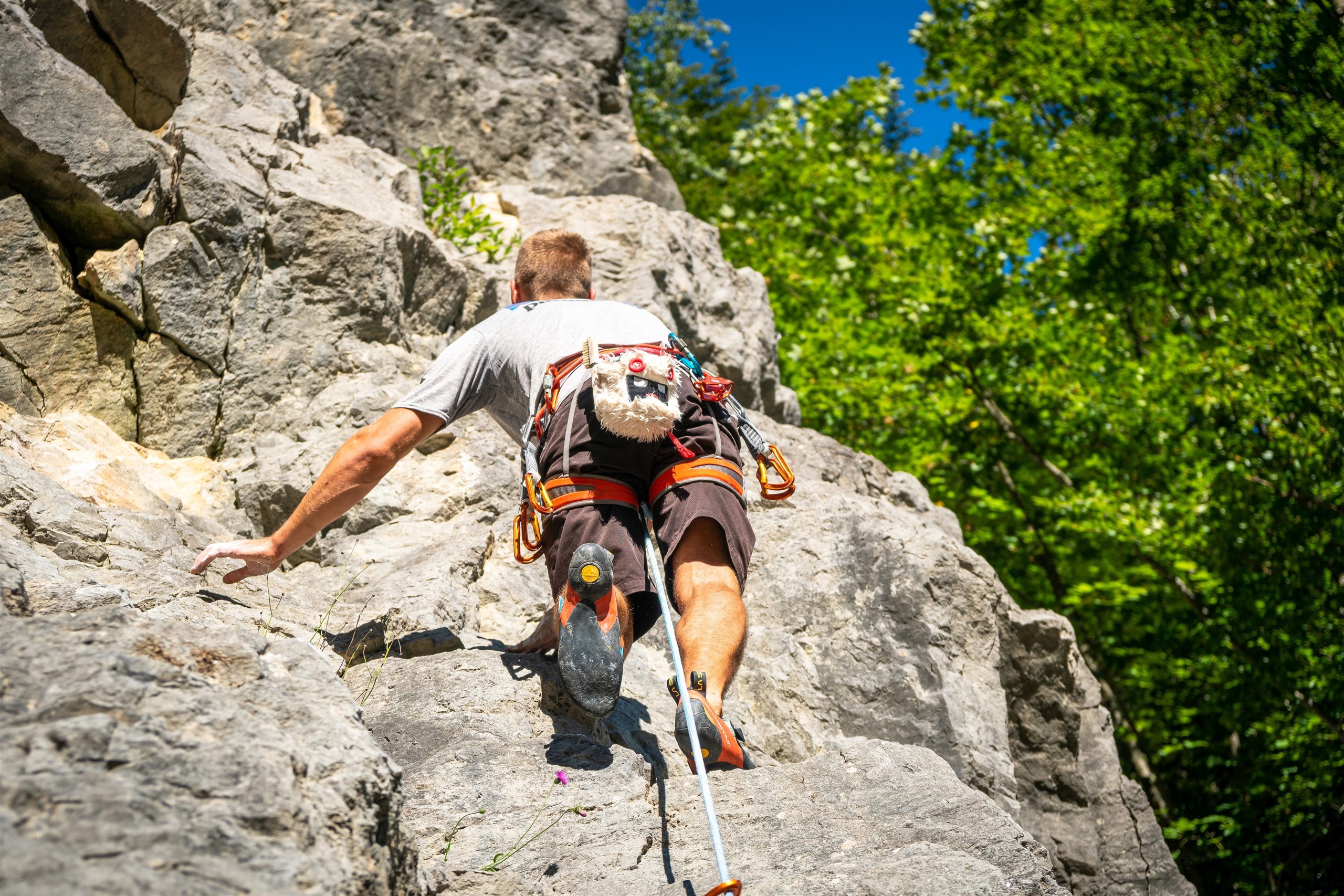
Klettergarten Klobenstein
A sport-climbing crag at Klobenstein near Kössen, close to the gorge of the Tiroler Ache on the border with Bavaria.
Bergbahnen Hochkössen Sommerbetrieb
The summer operation of the Hochkössen lifts at Kössen, carrying walkers up the Unterberghorn for ridge and pasture hikes in the Chiemgau Alps.
Bergbahnen Hochkössen Winterbetrieb
The winter operation of the Hochkössen lifts at Kössen, serving the ski slopes on the Unterberghorn above the village at 590 m.
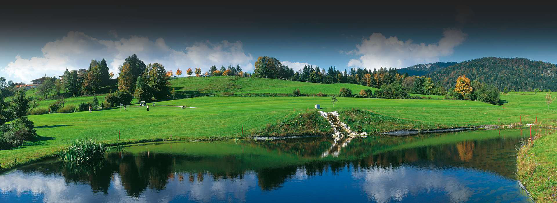
Golf Club Reit im Winkl-Kössen
A golf course between Reit im Winkl and Kössen on the Bavarian-Tyrolean border, set on open meadowland between the two villages.
Taubenseehütte
A mountain hut near the Taubensee above Kössen, close to the small lake on the ridge along the Tyrolean-Bavarian border.
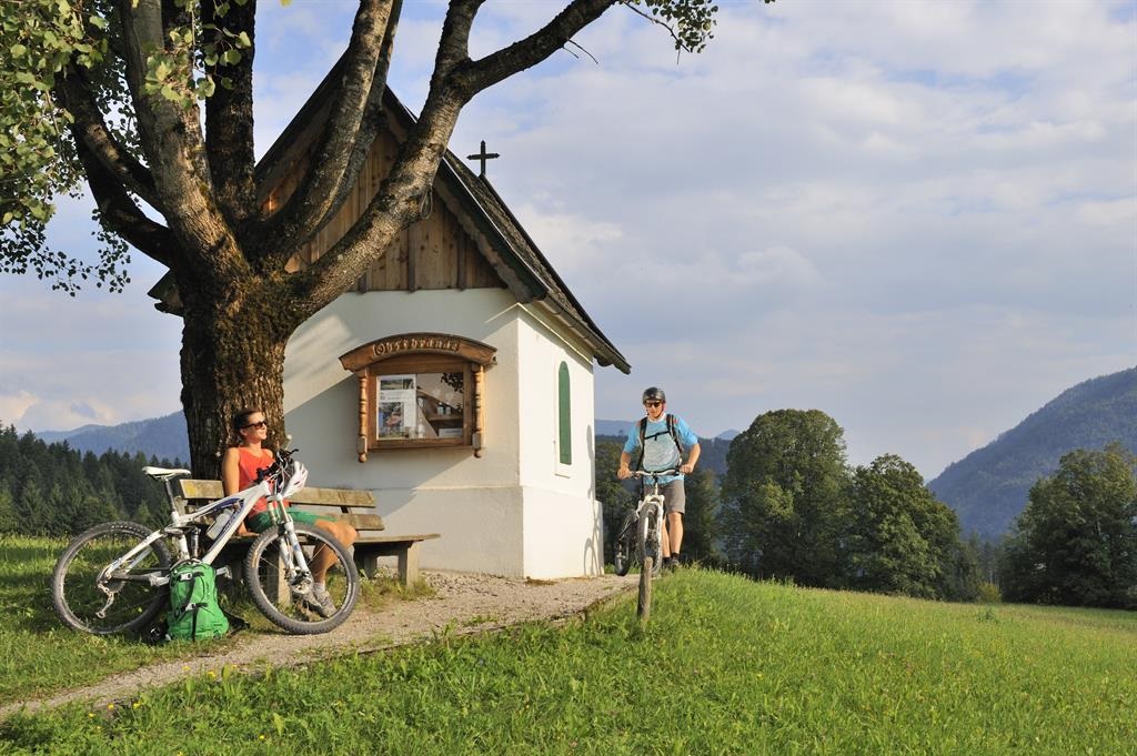
Leuhuber-Kapelle in Kössen
A small farm chapel at the Leuhuber property in Kössen, one of many private chapels scattered through the Kaiserwinkl countryside.
Nothing of this kind in Kössen.
Routes
50 routes, an even mix of activities · see the rest on kaiserwinkl.com ↗
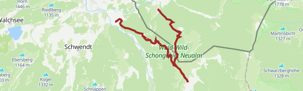
Josefstalrunde - Walchsee
Easy round from Walchsee up the Josefstal and over the Kalvarienberg, 5.6 km with 220 m of climbing.
- 5.6 km
- Distance
- 220 m
- Ascent
- 1 h 51 min
- Duration
- 6
- Check-ins
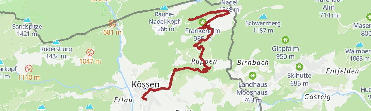
Taubensee
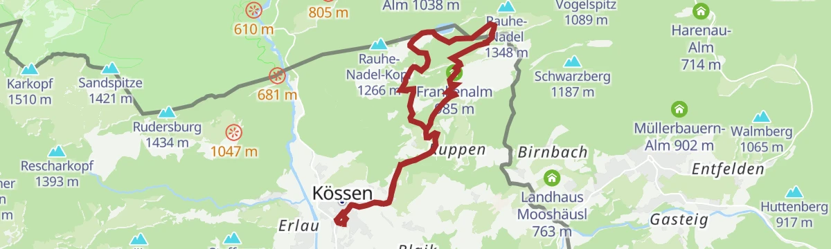
From Kössen up to the Taubensee and its hut, taking in the Sonnwendköpfl and returning past the Frankenalm and the Rinderbrachalm.
- 13.0 km
- Distance
- 737 m
- Ascent
- 5 h 12 min
- Duration
- 42
- Check-ins
Stripsenjochhaus - Feldalmsattel - Heuberg - Walchsee
Long traverse north from the Stripsenjochhaus over the Feldalmsattel and the Heuberg, finishing at the lake at Walchsee.
- 16.7 km
- Distance
- 430 m
- Ascent
- 5 h 49 min
- Duration
- 79
- Check-ins
Skitourengebiet Zahmer Kaiser
Ski-touring options on the Zahmer Kaiser above Walchsee, where steep forest gives way to broad karst bowls; terrain for experienced tourers.
- 16.7 km
- Distance
- 2 196 m
- Ascent
- 2 196 m
- Descent
- 7 h 46 min
- Duration
245 | Haraualm
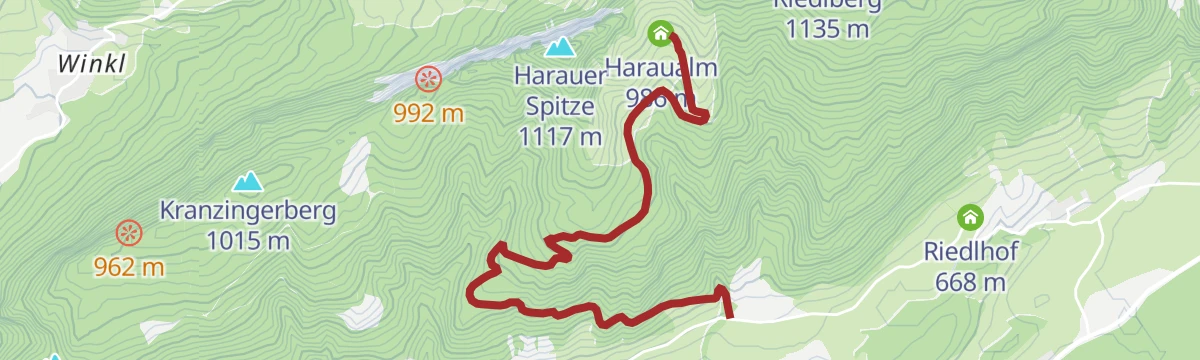
A short, easy forest-road climb from the valley near Kössen up to the alm at 986 m, a little over 300 m of height in barely 3 km.
- 3.2 km
- Distance
- 333 m
- Ascent
- 46 min
- Duration
Unterberghorn
A steady forest-road climb from Kössen past the Scheibenwaldhütte to the Bärenhütte at 1,490 m, alongside the Hochkössen lift line.
- 11.6 km
- Distance
- 884 m
- Ascent
- 1 h 34 min
- Duration
- 17
- Check-ins
Steinplatte Waidring - Reit im Winkl Runde
A round from Unken to the Steinplatte and Reit im Winkl, by the Winklmoosalm and the Möseralm.
- 45.1 km
- Distance
- 490 m
- Ascent
- 4 h 28 min
- Duration
- 66
- Check-ins
02 - Rund um die Salve und den Kaiser
A long road loop out of Scheffau down to Kufstein and back through Hopfgarten, passing the Erlensee on the return.
- 95.3 km
- Distance
- 1 074 m
- Ascent
- 9 h 28 min
- Duration
- 34
- Check-ins
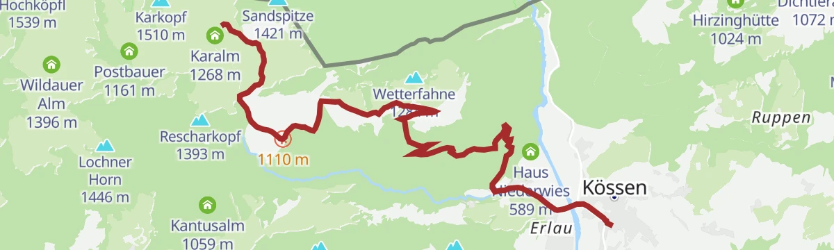
Schmugglerweg Klobenstein
Old smugglers' path on route 15 to the Klobenstein gorge and its pilgrimage site on the border above Kössen.
- 4.5 km
- Distance
- 110 m
- Ascent
- 1 h 17 min
- Duration
- 4
- Check-ins
Schwarzwald - Taubensee
Route through the Schwarzwald forest to the Taubensee, passing the Schafflerkaralm and the Hirzinghütte before the Taubenseehütte.
- 11.5 km
- Distance
- 631 m
- Ascent
- 4 h 30 min
- Duration
- 21
- Check-ins
Walchsee - Priener Hütte - Breitenstein - Karkopf - Kössen
Long border traverse from Walchsee by the Priener Hütte over the Breitenstein and the Karkopf, finishing at Kössen.
- 21.4 km
- Distance
- 1 098 m
- Ascent
- 8 h 7 min
- Duration
- 42
- Check-ins
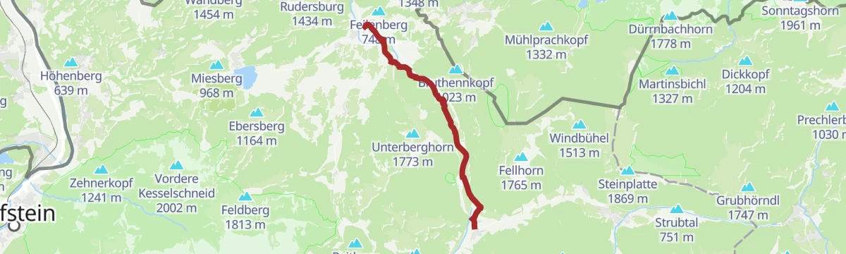
247 | Unterberg
A climb of nearly 900 m from the lifts at the edge of Kössen, past the Scheibenwaldhütte and on up to the Bärenhütte at 1,490 m.
- 8.9 km
- Distance
- 890 m
- Ascent
- 2 h 5 min
- Duration
- 16
- Check-ins
Straubingerhaus / Eggenalm
A long day on forest roads from Kössen, climbing past the Nattersbergalm to the Straubinger Haus and the Alpengasthof Hindenburghütte.
- 41.0 km
- Distance
- 1 278 m
- Ascent
- 4 h 50 min
- Duration
- 29
- Check-ins
8 Rund um den Wilden Kaiser
A long road circuit of the Wilder Kaiser from Ellmau, running out to Walchsee and back by way of Kitzbühel and the Ellmauer Alm.
- 87.9 km
- Distance
- 1 199 m
- Ascent
- 8 h 56 min
- Duration
- 31
- Check-ins
Edernalm (Sommer)
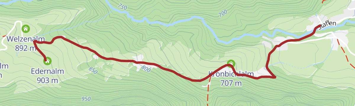
Short, steep pull on path 24 up to the Edernalm, with the Welzenalm and the Kronbichlalm close by.
- 2.4 km
- Distance
- 294 m
- Ascent
- 1 h 12 min
- Duration
- 3
- Check-ins
Premiumwanderweg Kugelwand - Harauerspitze
Certified route on paths 49 and 47 over the Kugelwand to the Harauer Spitze, going by the Riederalm and the Harausattel.
- 6.4 km
- Distance
- 475 m
- Ascent
- 3 h 4 min
- Duration
- 19
- Check-ins
Loferberg - Straubinger Haus - Fellhorn - Blindau
Nearly 20 km over the Loferberg to the Straubinger Haus and the Fellhorn, with the Hindenburghütte on the way down to Blindau.
- 19.7 km
- Distance
- 1 197 m
- Ascent
- 8 h 7 min
- Duration
- 39
- Check-ins
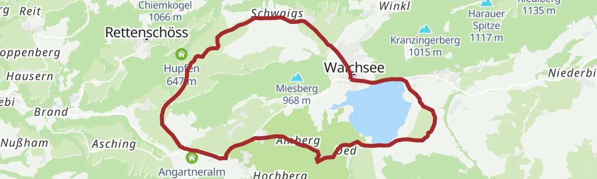
Miesberg - Seerunde
An easy round of the lake at Walchsee with one short rise on the wooded slope above, passing the Liftstüberl and the Amberglift.
- 13.2 km
- Distance
- 121 m
- Ascent
- 1 h 17 min
- Duration
- 9
- Check-ins
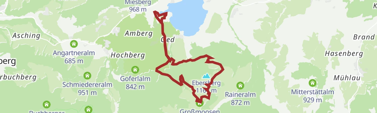
Gwirchtalm - Hageralm
A longer forest-road round above Walchsee linking two hut clearings near 1,000 m, with the Schweizerhütte and Großmoosen along the way.
- 20.8 km
- Distance
- 721 m
- Ascent
- 2 h 32 min
- Duration
- 25
- Check-ins
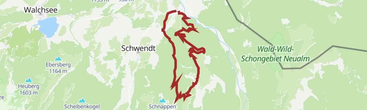
12 Kleine Bayern-Runde
A ninety-five-kilometre road loop out of Kitzbühel that dips across the Bavarian border, returning by Klobenstein and the Kohlentalmühle.
- 95.3 km
- Distance
- 1 302 m
- Ascent
- 9 h 41 min
- Duration
- 28
- Check-ins
Hochschanz / Kalvarienberg - Kössen
Brief climb from Kössen to the Kalvarienberg and the ski-jump hill on the slope above the village.
- 2.8 km
- Distance
- 113 m
- Ascent
- 56 min
- Duration
- 1
- Check-ins
Lippenalm- Ebersberg - Gwirchtalm
Pasture round on paths 52 and 88 from the Lippenalm over the Ebersberg to the Gwirchtalm and the Bergeralm.
- 10.9 km
- Distance
- 475 m
- Ascent
- 3 h 44 min
- Duration
- 17
- Check-ins
Breitenstein
Long climb from Walchsee by the Riederalm and the Ottenalm to the Karkopf and the Breitenstein, with the Priener Hütte on the way.
- 19.4 km
- Distance
- 1 083 m
- Ascent
- 7 h 40 min
- Duration
- 36
- Check-ins
Feldalm
A forest-road ascent from Walchsee past the Habersaualm to the alm at 1,305 m on the slopes above the lake.
- 12.0 km
- Distance
- 672 m
- Ascent
- 1 h 28 min
- Duration
- 6
- Check-ins
Kaiserwinkl Runde
A flat 32 km circuit between Kössen and the Walchsee, running past the lakeside campsites and the Kaiseralm at 629 m.
- 32.1 km
- Distance
- 264 m
- Ascent
- 3 h 6 min
- Duration
- 17
- Check-ins
Kaiserradrunde
An eighty-five-kilometre circuit of the Wilder Kaiser on cycle paths and quiet roads, passing Ellmau and the villages on each side of the range.
- 85.5 km
- Distance
- 1 116 m
- Ascent
- 8 h 38 min
- Duration
- 28
- Check-ins
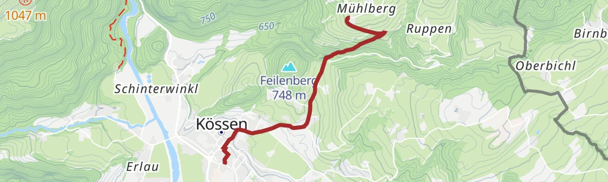
Jausenstation Mühlberghof (Winterwandern)
Short winter walk out of Kössen, climbing to the Mühlberghof for a break before the way back.
- 2.6 km
- Distance
- 214 m
- Ascent
- 58 min
- Duration
- 1
- Check-ins
Walchsee - Haraualm - Josefstal
Round from Walchsee over the Harausattel to the Haraualm and the Harauer Spitze, dropping back through the Josefstal.
- 10.0 km
- Distance
- 677 m
- Ascent
- 4 h 32 min
- Duration
- 17
- Check-ins
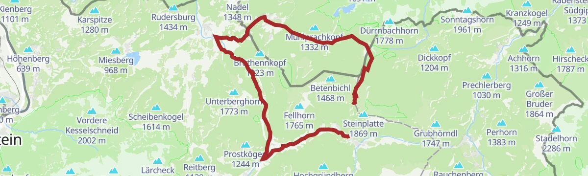
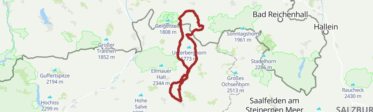
Kössen - Unterberghorn - Lackalm
A big day from Kössen to the Unterberghorn and on by the Kaiseralm to the Lackalm, 21 km with 1,170 m of climbing.
- 21.4 km
- Distance
- 1 189 m
- Ascent
- 8 h 25 min
- Duration
- 31
- Check-ins
Leukentalradweg
A near-flat valley track ride around Kössen, passing Sigis Sportklause and the Pinsgerhof below the Hochkössen lift station.
- 14.6 km
- Distance
- 103 m
- Ascent
- 1 h 22 min
- Duration
- 3
- Check-ins
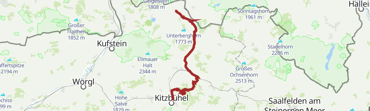
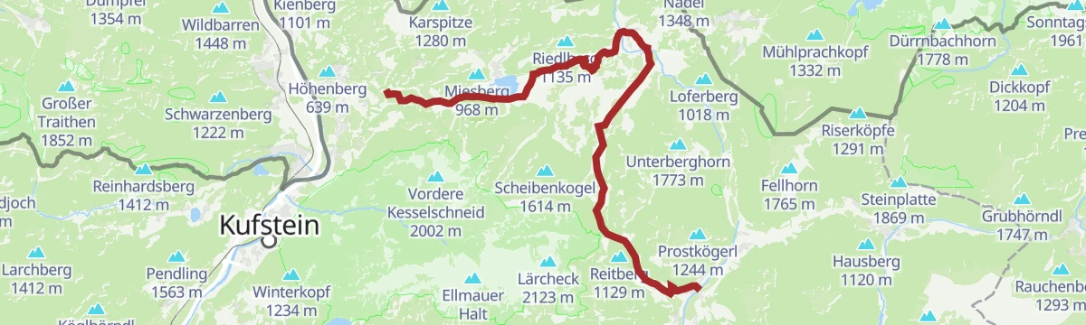
11 | BIKE TRAIL TIROL: Kössen - Kitzbühel
A long traverse stage from Kössen at 590 m over the Obere Reintalalm and the Hornköpfl, finishing in Kitzbühel after more than 2,000 m of ascent.
- 56.1 km
- Distance
- 2 106 m
- Ascent
- 6 h 58 min
- Duration
- 17
- Check-ins
 Hornköpflhütte 1 751 m
- Kitzbühel Tourismus 762 m
 Speicherteich Hornköpfl 1 706 m
- Fritzhütte 1 565 m
- Kössen 590 m
- Obere Reintalalm 1 564 m
- +11
T2 | Kaiserradrunde
A signposted long-distance loop around the Kaisergebirge, running through Ellmau and the neighbouring villages on mostly gentle terrain.
- 85.3 km
- Distance
- 1 131 m
- Ascent
- 8 h 38 min
- Duration
- 28
- Check-ins
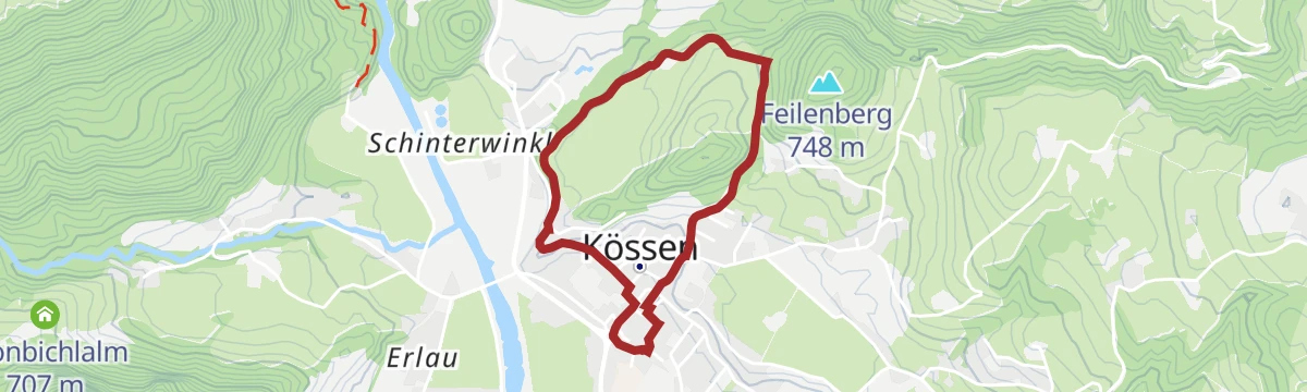
Rund um den Kalvarienberg
A 3 km circuit around the Kalvarienberg at the edge of Kössen, almost level the whole way.
- 3.0 km
- Distance
- 74 m
- Ascent
- 53 min
- Duration
- 1
- Check-ins
Walchsee - Ottenalm - Edernalm - Kössen
Pasture crossing from Walchsee by the Ottenalm and the Edernalm to Kössen, passing the Kronbichlalm.
- 8.8 km
- Distance
- 302 m
- Ascent
- 2 h 52 min
- Duration
- 16
- Check-ins
Kössen - Unterberghorn
Steep direct ascent from Kössen to the Unterberghorn, 1,170 m in 8.6 km by way of the Unterberghornhütte.
- 8.6 km
- Distance
- 1 148 m
- Ascent
- 4 h 35 min
- Duration
- 28
- Check-ins
Naring - Karalm
A steep forest-road climb above Kössen linking the Unternotheggeralm and the Kössener Skihütte on the way to the pastures at 1,268 m.
- 9.4 km
- Distance
- 760 m
- Ascent
- 1 h 22 min
- Duration
- 3
- Check-ins
Mozartradweg Etappe 12, 13
Two linked stages through the Kaiserwinkl, running past the Stausee Kirchdorf and Kössen to the Pflanzgarten Hütte above the valley.
- 37.5 km
- Distance
- 423 m
- Ascent
- 3 h 41 min
- Duration
- 15
- Check-ins
- Pflanzgarten Hütte 750 m
- Liftstüberl 688 m
- Stausee Kirchdorf 725 m
- Kaiseralm 629 m
- Kössen 590 m
- Riedlhof 668 m
- +1
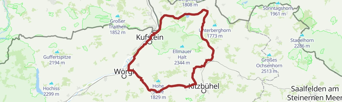
Wilde Kaiser Rennrad Runde
A full day on the road from Scheffau round to Walchsee and back through Kufstein, a circuit of the whole massif on valley roads.
- 95.3 km
- Distance
- 914 m
- Ascent
- 9 h 19 min
- Duration
- 24
- Check-ins
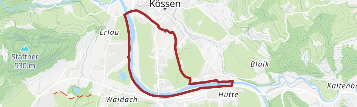
Achendammrundweg Winter
The Achen embankment loop in its winter form: 4.2 km on the flat, kept walkable through the cold months.
- 4.2 km
- Distance
- 0 m
- Ascent
- 59 min
- Duration
Wetterfahne und Rudersburg
Two-summit round above Kössen over the Wetterfahne and the Rudersburg, going up by the Hinhageralm and the Naringalm.
- 13.0 km
- Distance
- 1 641 m
- Ascent
- 8 h 10 min
- Duration
- 15
- Check-ins
Walchsee-Habersauertal-Feldalm-Hochalm
Long alm outing from the Walchsee through the Habersauer valley to the Feldalm and Hochalm pastures, with the Schweizerhütte and Gwirchtalm among the stops.
- 22.9 km
- Distance
- 774 m
- Ascent
- 7 h 16 min
- Duration
- 25
- Check-ins
244 | Naring - Karalm
A climb of nearly 800 m above Kössen to the alm huts at around 1,100 m, with the ski hut at 1,262 m higher up.
- 9.0 km
- Distance
- 796 m
- Ascent
- 1 h 54 min
- Duration
- 3
- Check-ins
Käseradrunde
A long, gently graded round between Walchsee and Kössen taking in the dairy farms of the Kaiserwinkl, with the Kaiseralm on the way.
- 38.9 km
- Distance
- 320 m
- Ascent
- 3 h 45 min
- Duration
- 15
- Check-ins
07 - Weltcup-Runde Bayern-Tirol
A long road loop between Bavaria and Tyrol, linking Kufstein with Walchsee and returning past the farms of Aschenau on the Tyrolean side.
- 88.1 km
- Distance
- 955 m
- Ascent
- 8 h 43 min
- Duration
- 18
- Check-ins
Dorfrunde Kössen
Flat village round through Kössen, an easy 4.6 km taking in the centre and the fields around it.
- 4.6 km
- Distance
- 0 m
- Ascent
- 1 h 5 min
- Duration
Seerundweg Walchsee
Full lap of the Walchsee on lakeside paths, with bathing spots, reed beds and the Zahmer Kaiser mirrored in the water on calm days.
- 7.2 km
- Distance
- 10 m
- Ascent
- 1 h 43 min
- Duration
- 11
- Check-ins
Walchsee - Karkopf - Priener Hütte
Cross-border day from the Walchsee over the Karkopf to the Priener Hütte in the Chiemgau Alps, with the Riederalm and Ottenalm on the Tyrolean side.
- 18.4 km
- Distance
- 1 031 m
- Ascent
- 7 h 18 min
- Duration
- 14
- Check-ins
Dichtleralm
A ride up from the village to the huts at just over 1,000 m on the slopes above the Kössen basin, with the Ochsenalm on the way.
- 8.4 km
- Distance
- 506 m
- Ascent
- 1 h 4 min
- Duration
- 2
- Check-ins
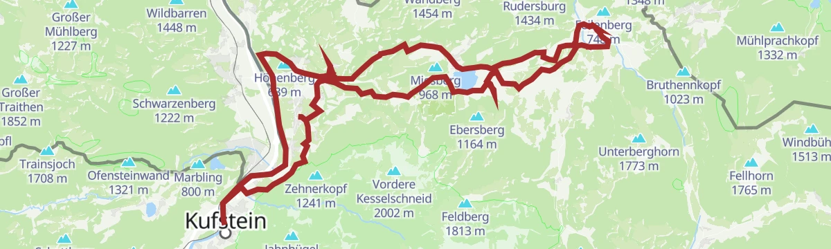
Kaiserweis Genussradrunde Kufstein- Kössen
A long day's round from Kufstein to Kössen and back, running below the north face of the Kaiser and past the Seemühle campsite.
- 71.8 km
- Distance
- 558 m
- Ascent
- 6 h 54 min
- Duration
- 14
- Check-ins
17 - Walchsee Runde
A long day on the road from Kufstein out to Walchsee and back, passing the Panorama Lodge above the lake and Cafe Zacherl.
- 46.1 km
- Distance
- 798 m
- Ascent
- 4 h 50 min
- Duration
- 15
- Check-ins
No routes of this kind in Kössen yet.
The region's own picks

Featured route
Josefstalrunde - Walchsee
Easy round from Walchsee up the Josefstal and over the Kalvarienberg, 5.6 km with 220 m of climbing.
Planning a trip to Kössen?
Everything else Tyrol has, in one place


Take Kössen with you into the mountains
Every route on this page with 3D terrain, GPX navigation and offline maps — including the valleys with no signal.
Data sources
- Official website: kaiserwinkl.com ↗
- Routes and highlights: Kaiserwinkl Tourismus, Kitzbühel Tourismus, Kufsteinerland, Kitzbüheler Alpen Tourismus
- Published as open data by the tourist boards named above.
- Region summary generated from the board's own material.
