
 Cable car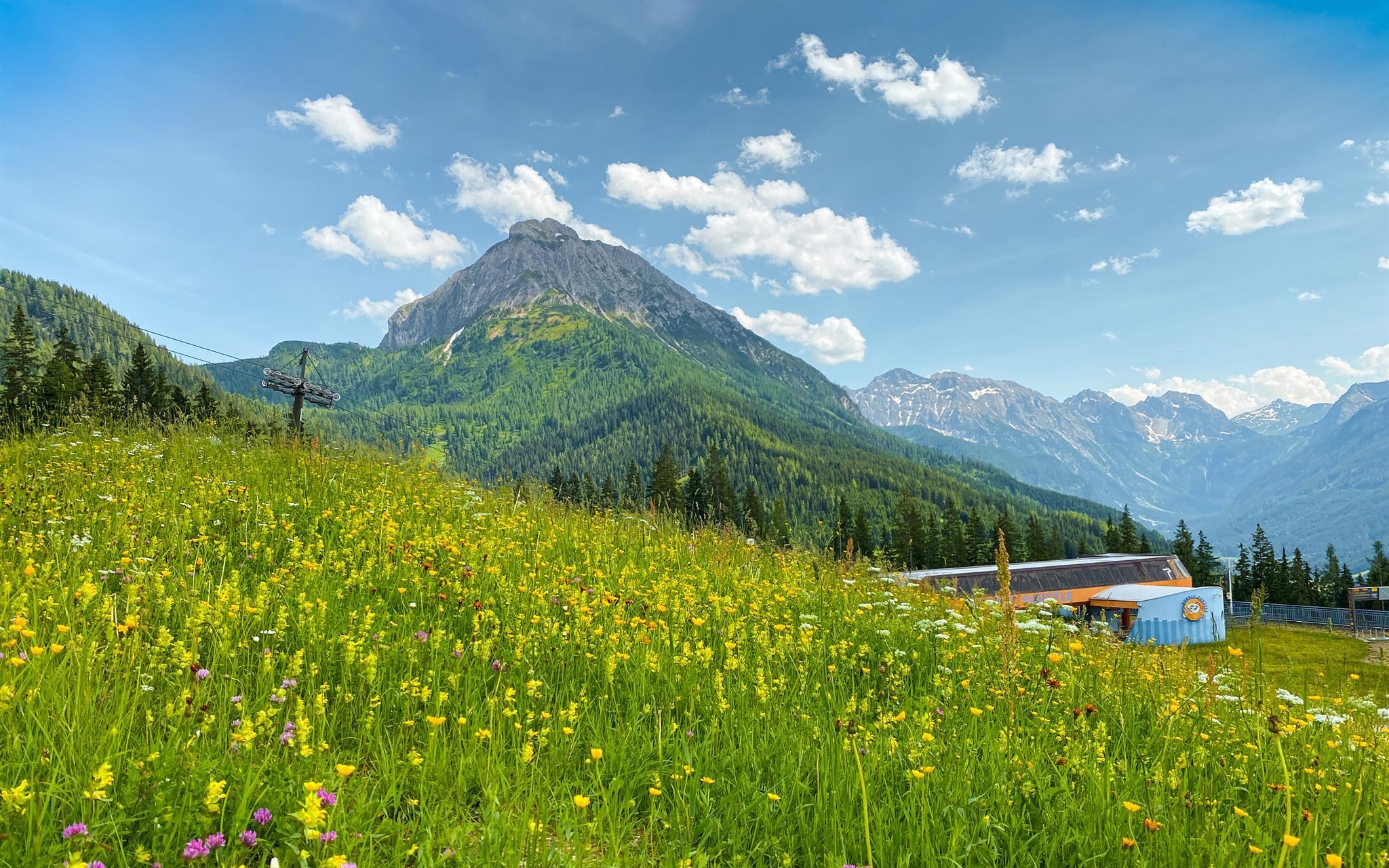

 Historic site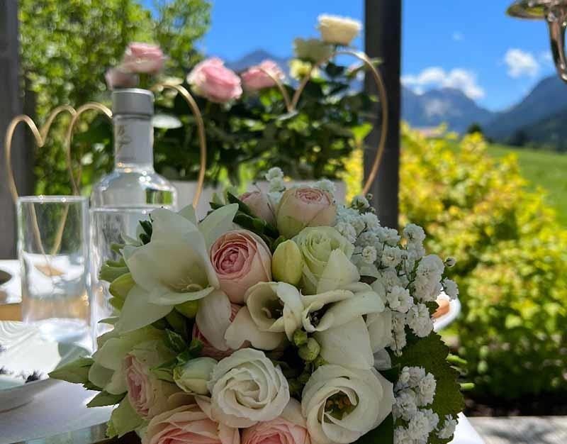


Curated by Wagrain-Kleinarl Tourismus
Kleinarl
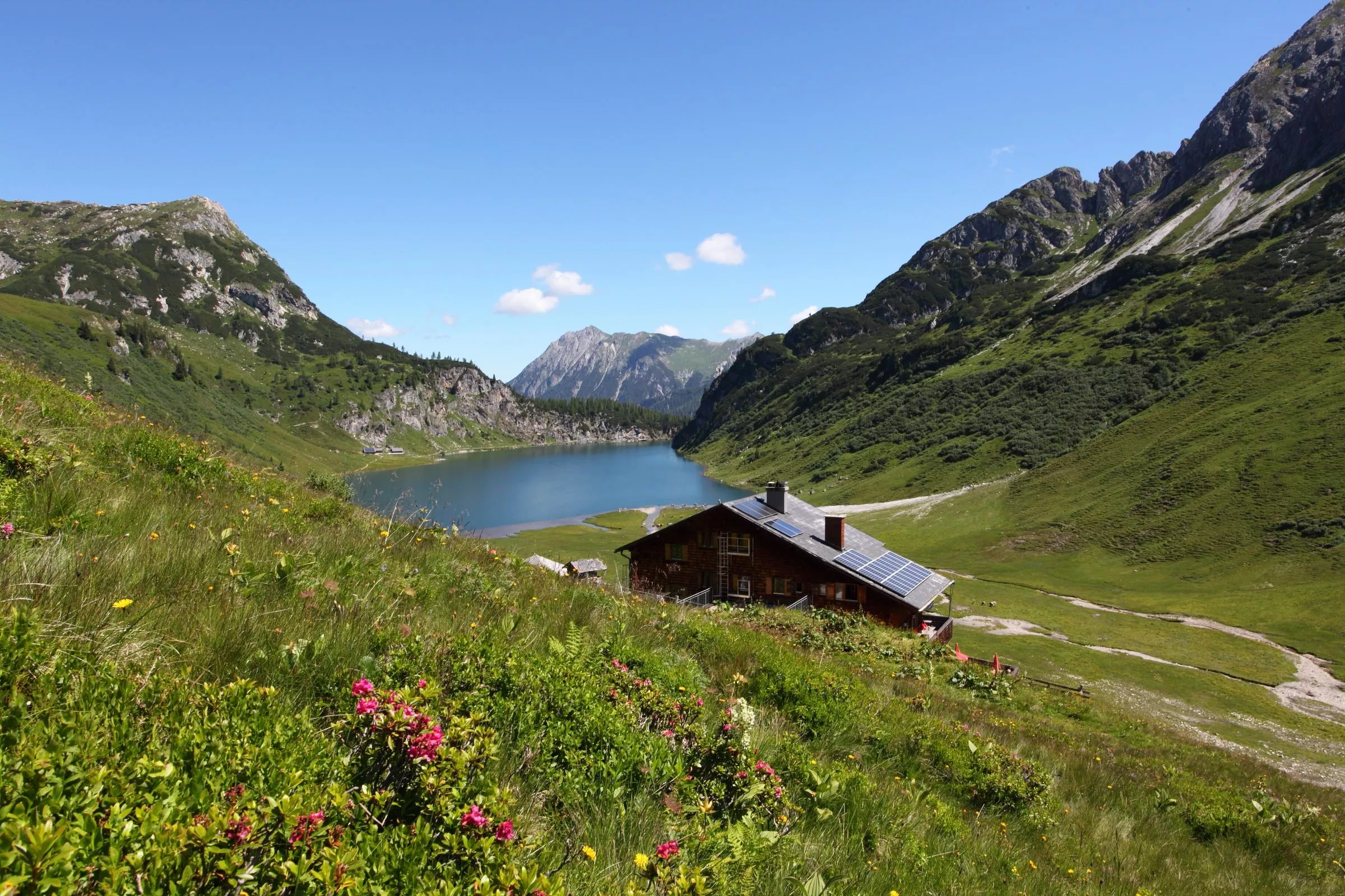
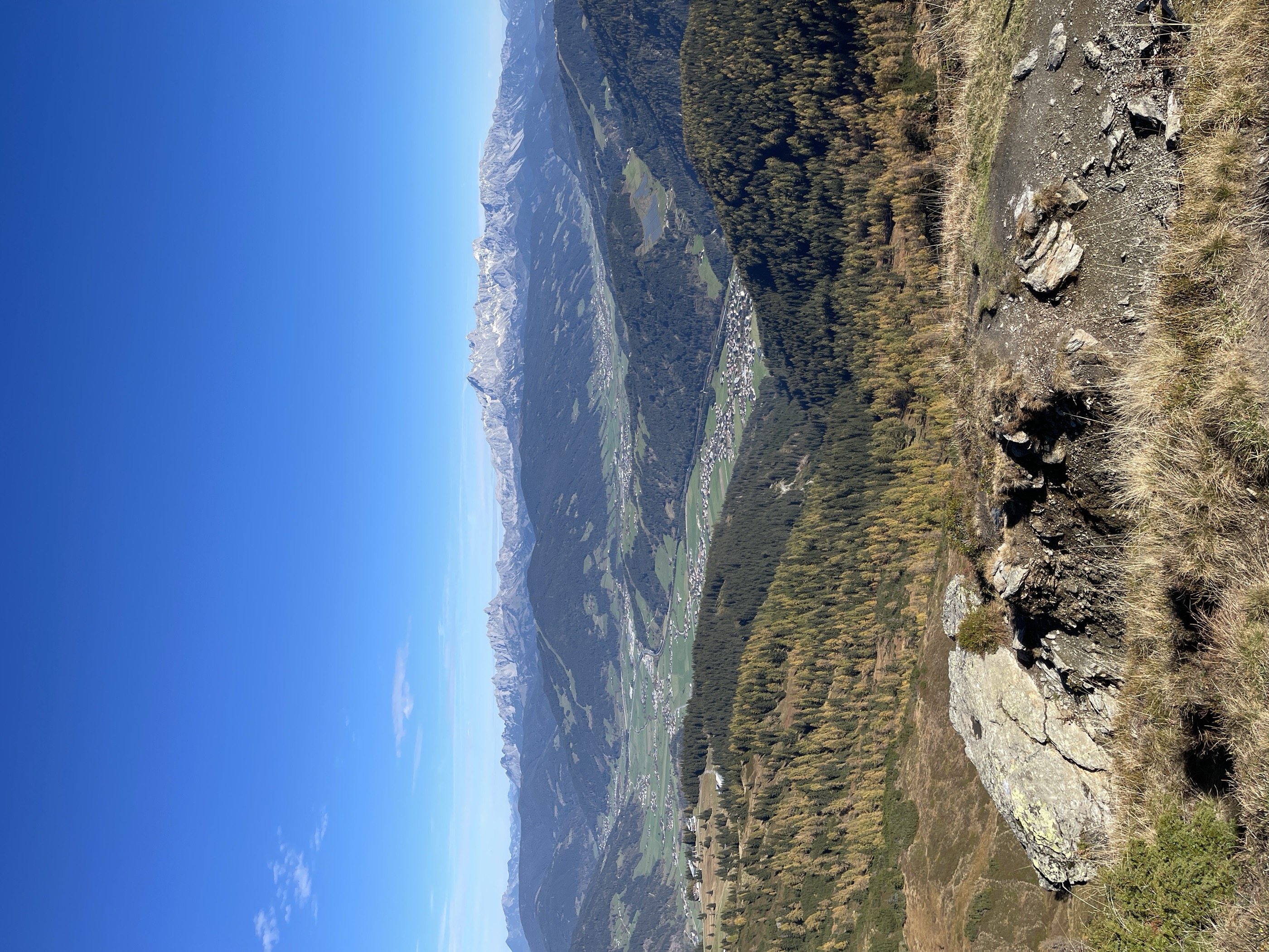
Tucked in the narrow Kleinarltal south of Wagrain, home village of ski racer Annemarie Moser-Pröll, with the Jägersee and the high Tappenkarsee at the valley's end.
Photo: Markus Leupold-Löwenthal licence
- 15Highlights
- 87Routes
- Featured summit · Grießenkareck
Highlights
Kleinarler Hütte
A mountain hut at about 1,800 m above Kleinarl, a walkers' destination serving regional cooking, reached on foot from the valley in summer and winter.
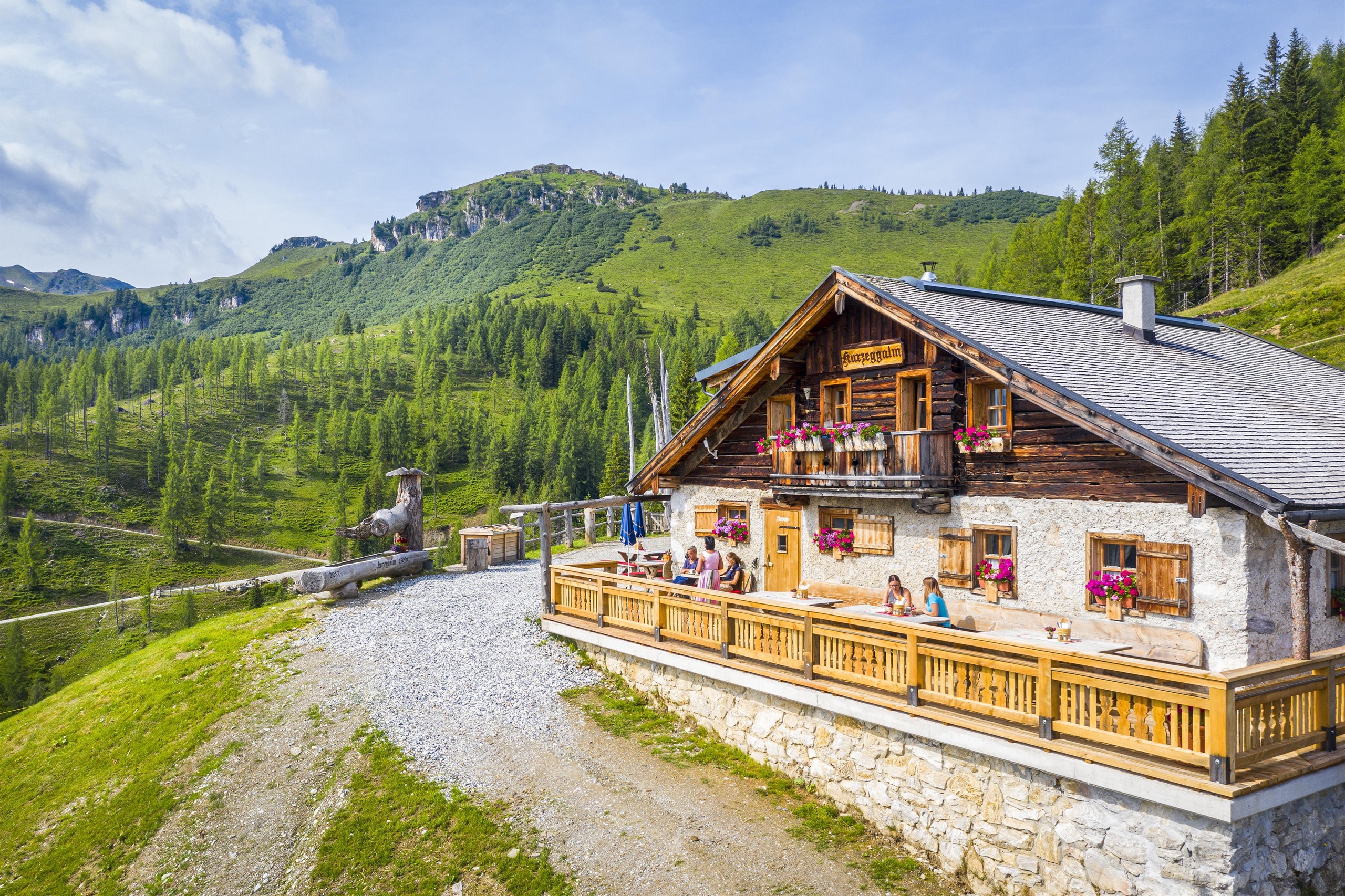
Kurzeggalm
A summer pasture hut above Kleinarl, a farm-run snack station serving its own produce during the grazing season.
Steinkaralm - Jausenstation
A summer pasture snack station in the Steinkar above Kleinarl, serving regional dishes to walkers in the side valleys of the Salzburg mountains.
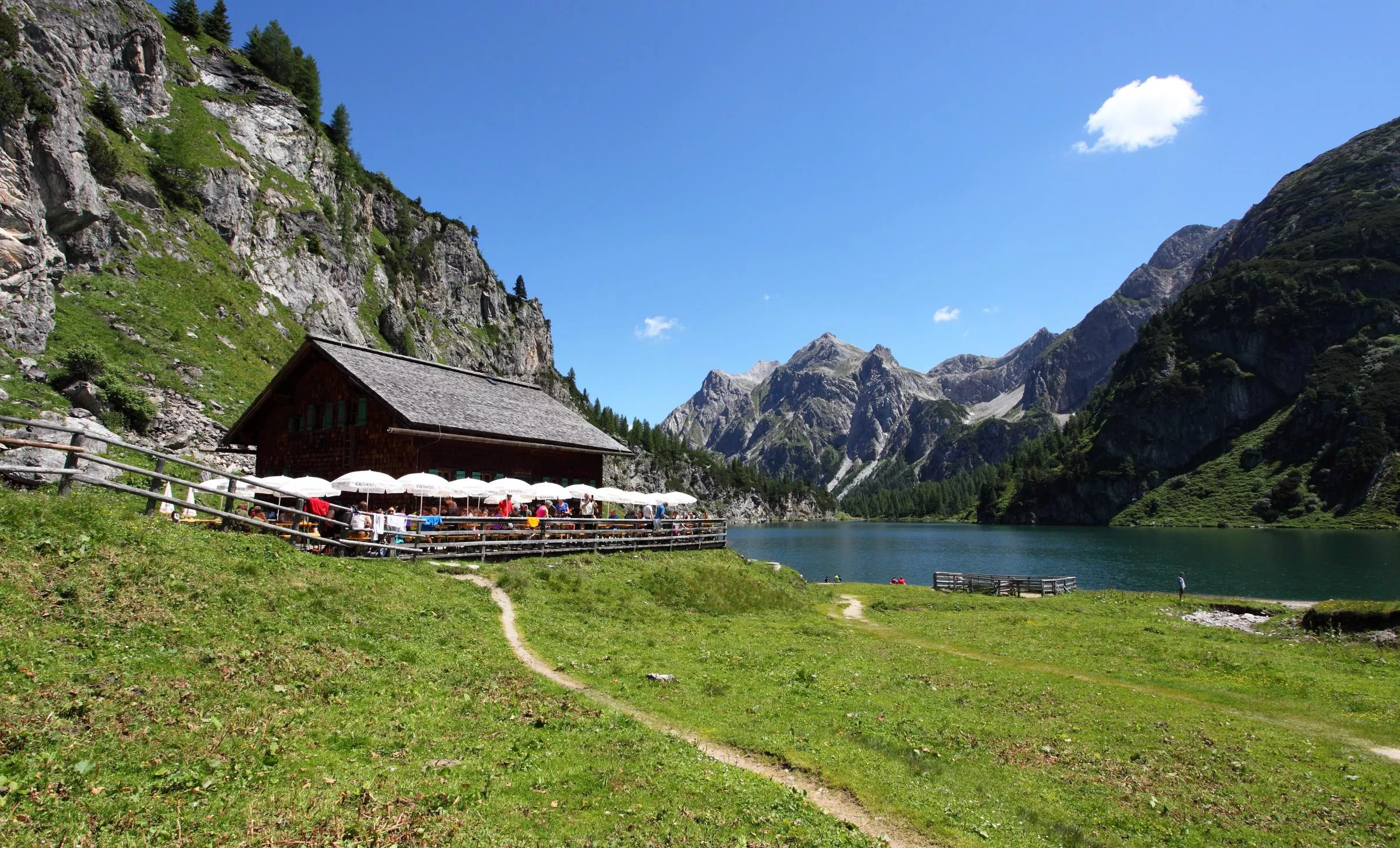
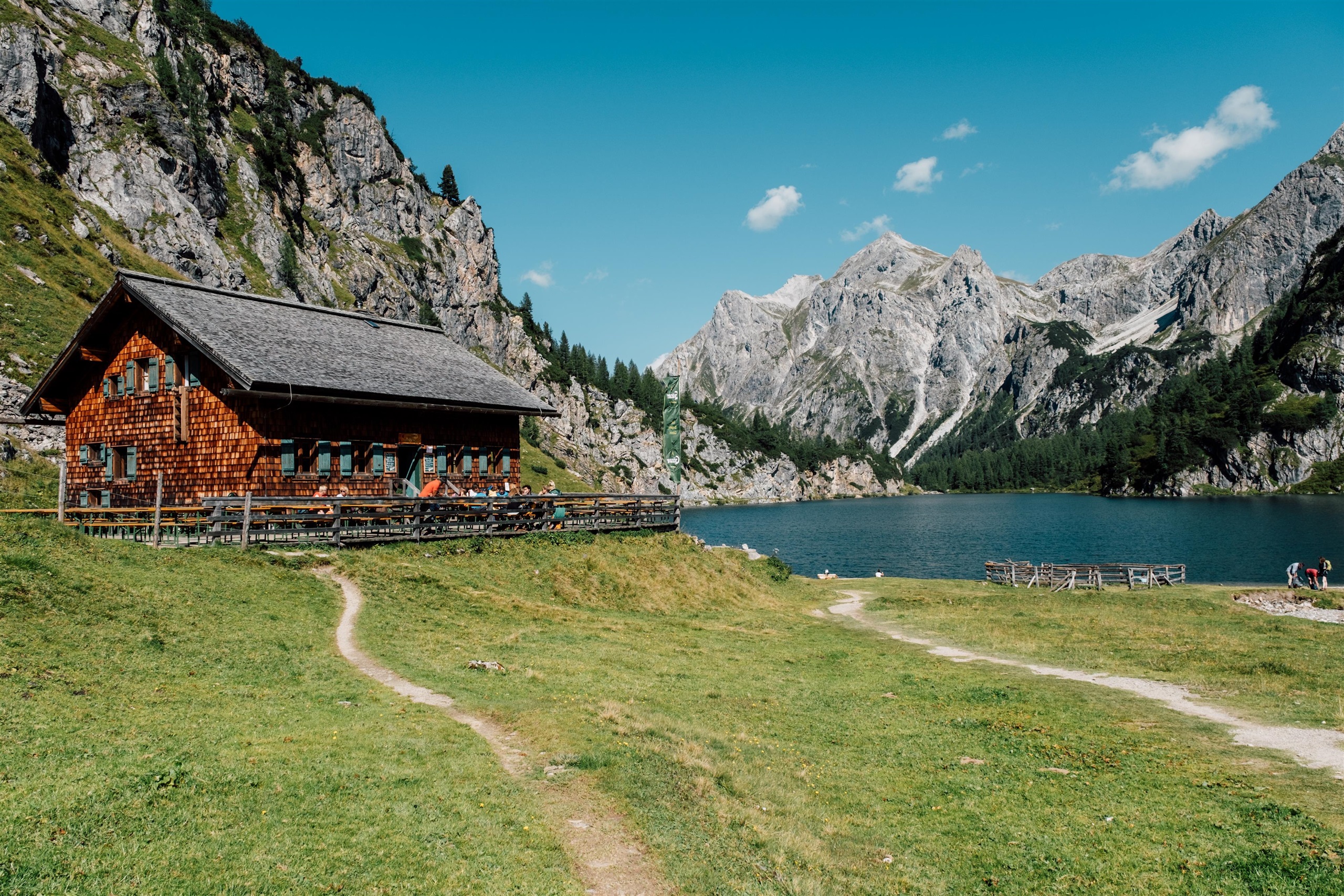
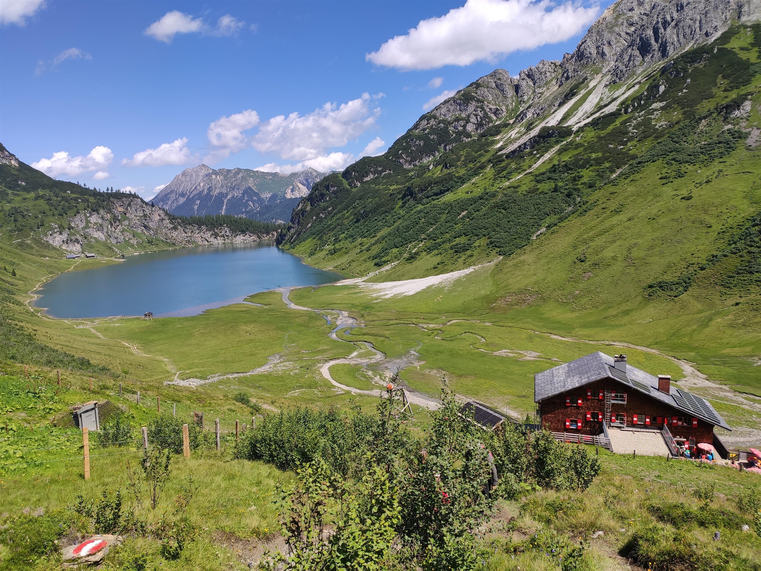
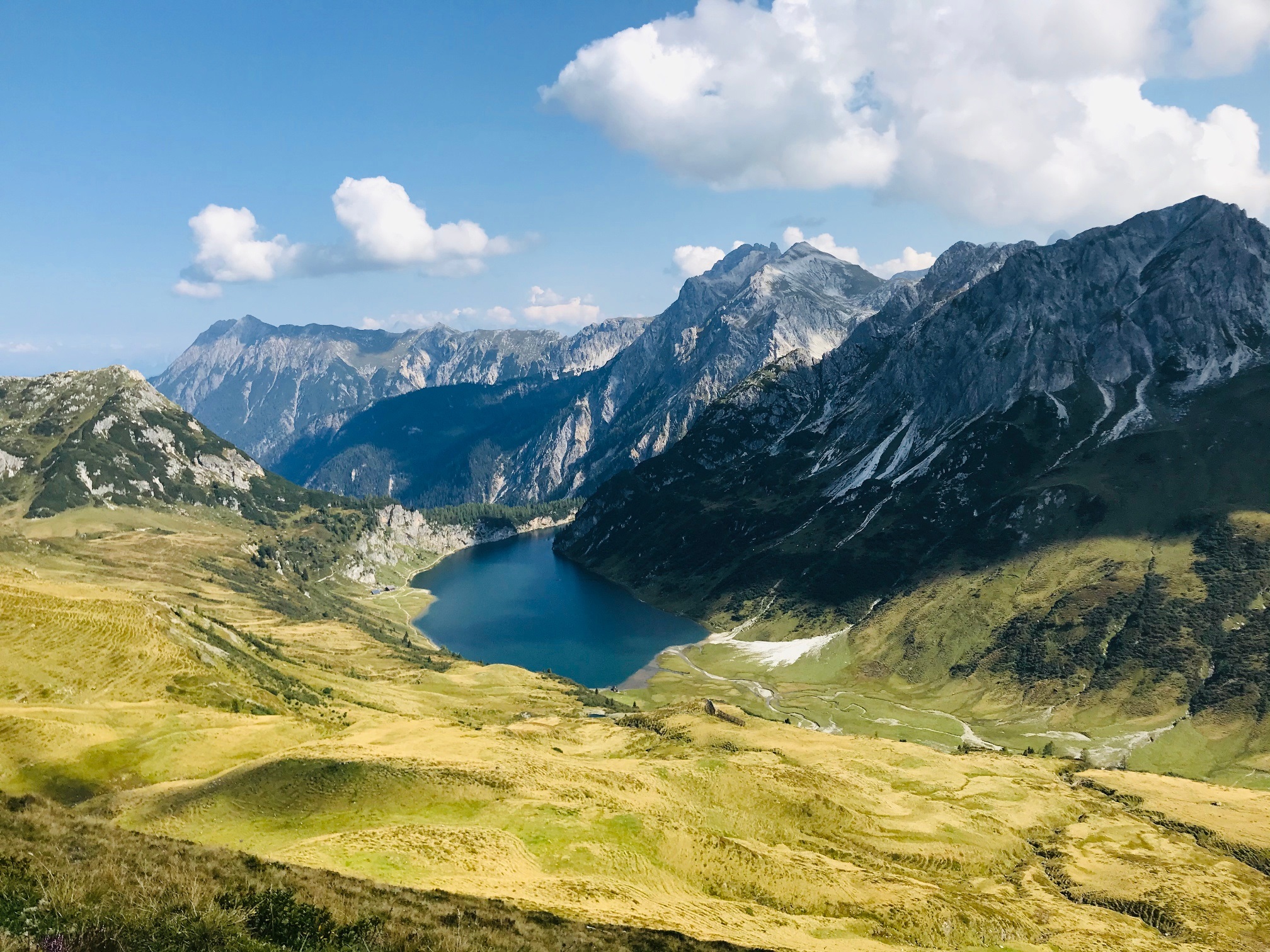
Tappenkarseealm, 1.768 m
An alm hut at 1,768 m by the Tappenkarsee above Hüttschlag, serving walkers at the large high-alpine lake below the Radstädter Tauern.
Tappenkarseehütte, 1.820 m
A mountain hut at 1,820 m above the Tappenkarsee near Hüttschlag, with beds and meals for walkers crossing the Radstädter Tauern.
Bergbahnen Kleinarl
The lifts serving Kleinarl in the Pongau, giving access to the slopes and walking country above the village.
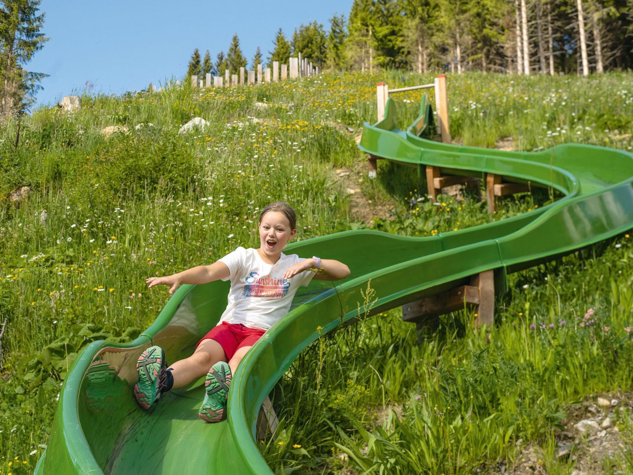
Family Run Summer Edition - Shuttleberg Flachauwinkl-Kleinarl
A summer fun run at the Shuttleberg Flachauwinkl-Kleinarl, a family course of banked turns and obstacles served by the lifts above Kleinarl.
Shuttleberg Flachauwinkl-Kleinarl
The lift-linked ski mountain between Flachauwinkl and Kleinarl in Salzburg's Ski amadé, known for its freestyle parks and family runs.
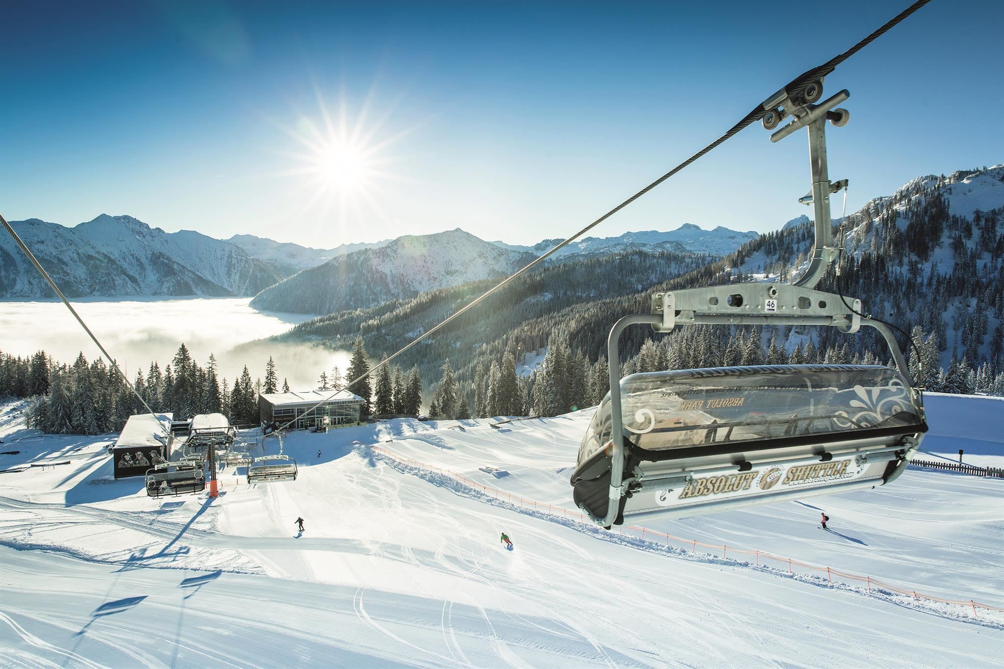
Shuttleberg Kleinarl
The Kleinarl base (1,004 m) of the Flachauwinkl-Kleinarl ski mountain known as Shuttleberg, whose slopes also hold the Absolut Park freestyle area.
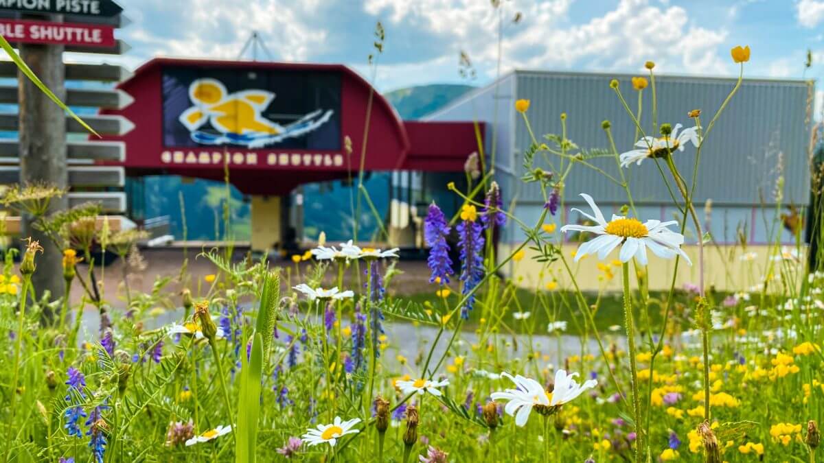
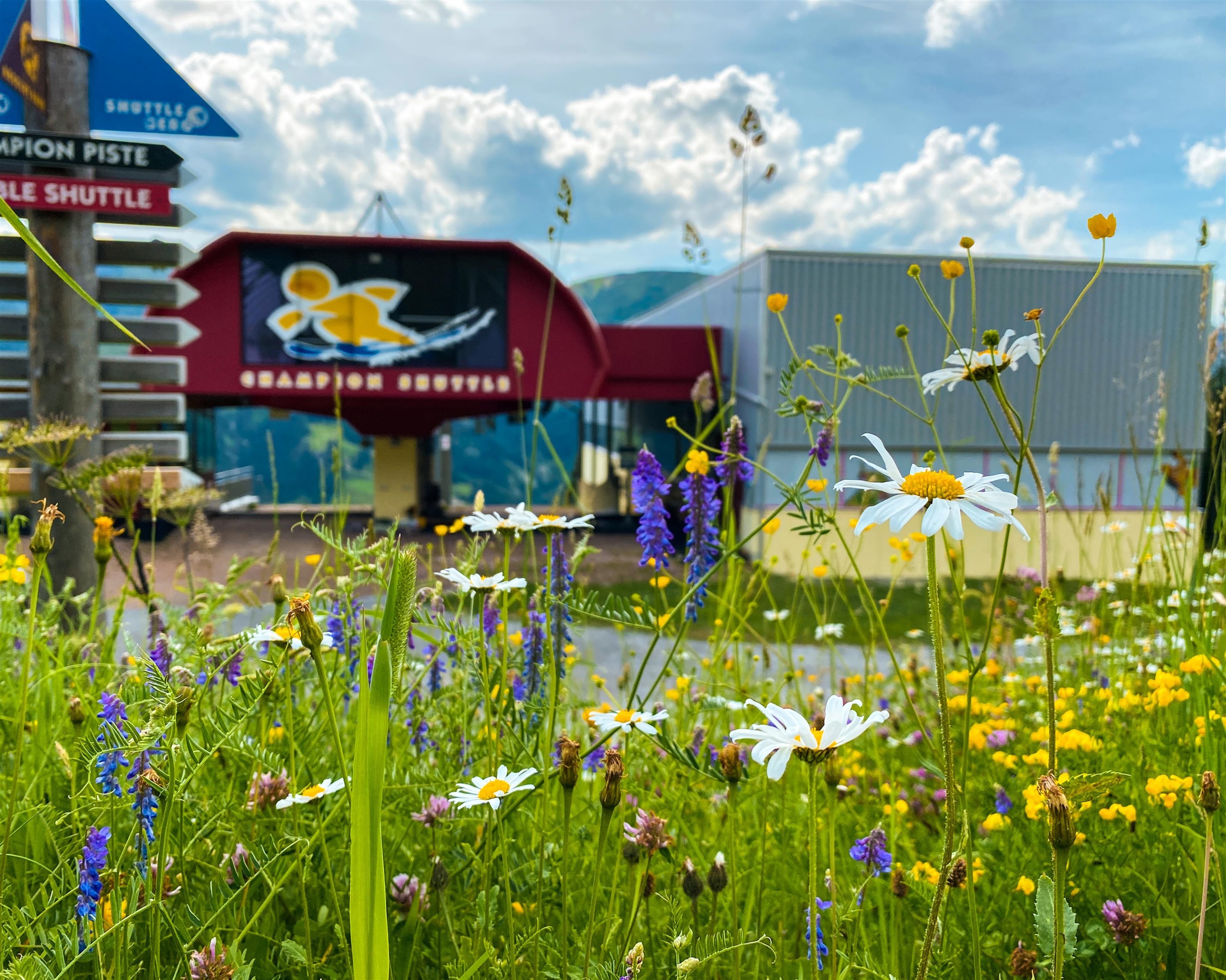
Skidepot - Bergstation Champion Shuttle Kleinarl
A ski depot at the top station of the Champion Shuttle above Kleinarl, where equipment can be stored overnight instead of being carried down to the valley.
SchüttAlm - Hochzeitslocation
An alpine pasture hut between Wagrain and Kleinarl serving as a wedding venue, with regional catering for mountain celebrations.
der Lärchenhof - Hochzeitslocation
A wedding venue at the Lärchenhof in Kleinarl, hosting celebrations in a rustic farmhouse setting with regional cooking in the Salzburg mountains.
Tappenkarsee Alm
A summer pasture hut beside the Tappenkarsee, the mountain lake at about 1,760 m at the head of the Kleinarl valley, serving walkers on the lake circuit.
Tappenkarsee Hütte (Schutzhaus)
An alpine club refuge above the Tappenkarsee at the head of the Kleinarl valley, offering meals and overnight beds to hikers on the Tauern crossings.
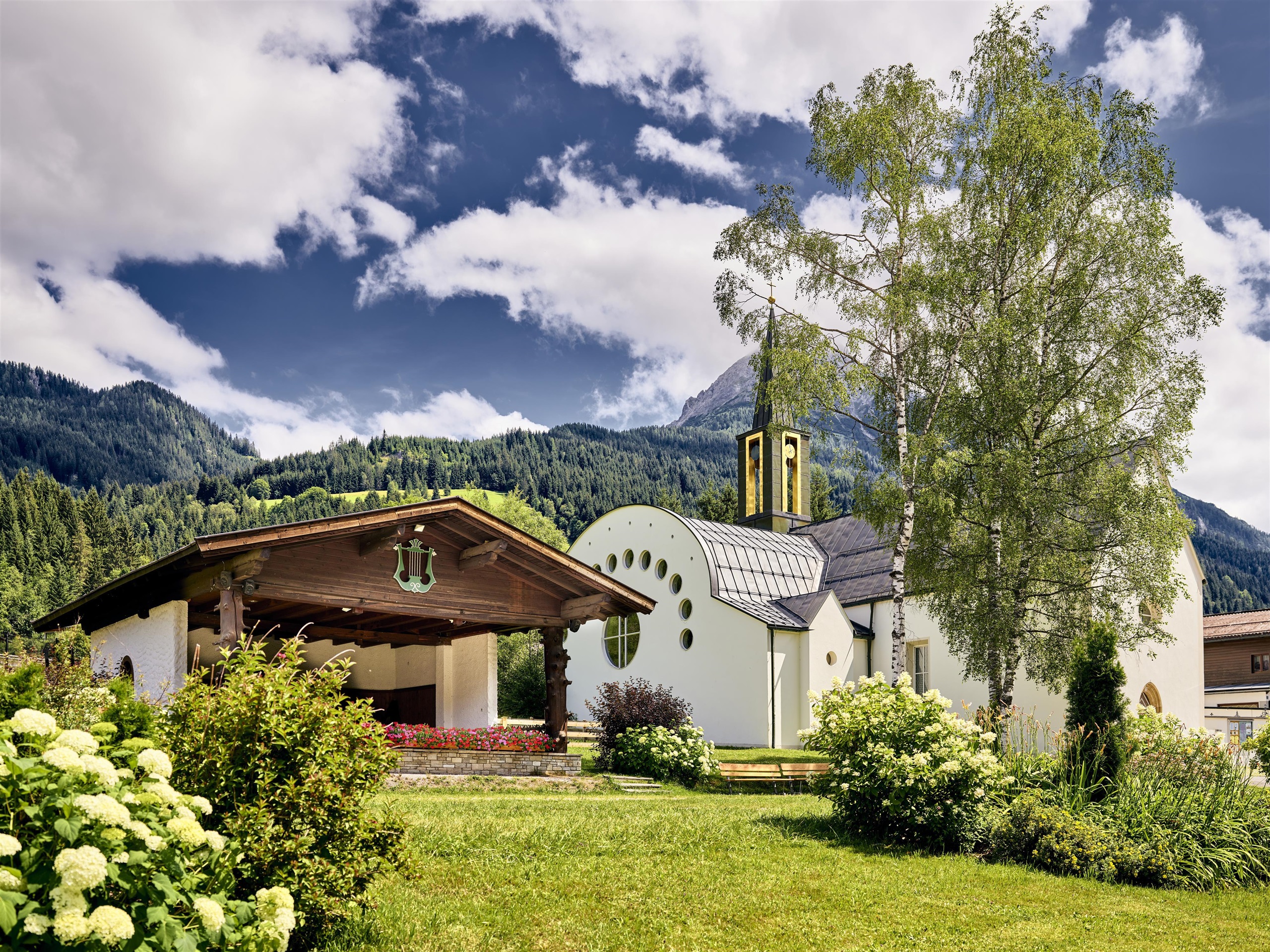
Pfarrkirche Kleinarl
The parish church of Kleinarl at just over 1,000 m in the Salzburg mountains, the spiritual centre of the small valley village.
Nothing of this kind in Kleinarl.
Routes
50 routes, an even mix of activities · see the rest on wagrain-kleinarl.at ↗
Familienklettersteig Tatzlwurm Kleinarl
The gentlest of the three cabled routes in the Kletterwelt Kleinarl, with 55 m of climbing on a short, family-friendly line.
- 506 m
- Distance
- 55 m
- Ascent
- 17 min
- Duration
Kesselfall Klettersteig Kleinarl
Short cabled route through a narrow gorge, crossing two wire bridges over wet rock that is well supplied with footholds.
- 553 m
- Distance
- 64 m
- Ascent
- 20 min
- Duration
(E-)Bike & Hike Regenerationsmomente rund um die Kleinarler Hütte und den Penkkopf
Walking half of a bike-and-hike round: from the Kleinarler Hütte up to the Drei Lacken, then over the Penkkopf down to the Kurzeggalm, with nine marked rest stops.
- 6.2 km
- Distance
- 360 m
- Ascent
- 2 h 30 min
- Duration
- 26
- Check-ins
Höhenwanderung: Grießenkareck - Weissenhofalm - Steinkaralm - Kleinarl
A certified high route from the Grießenkareck over the Mooskopf, then down by the Weissenhofalm and Steinkaralm into Kleinarl.
- 12.8 km
- Distance
- 368 m
- Ascent
- 4 h 54 min
- Duration
- 65
- Check-ins
Großarltal: 3-Tages-Wanderung über den Tappenkarsee ins Ellmautal
Three-day crossing past the Tappenkarsee and over the Draugsteintörl into the Ellmautal, with the Tappenkarseehütte and Loosbühelalm as stops.
- 29.5 km
- Distance
- 1 755 m
- Ascent
- 12 h 57 min
- Duration
- 109
- Check-ins
Skitour Shuttleberg Mittelstation Kleinarl - Mooskopf
Piste ski tour from the Shuttleberg mid-station up to the Mooskopf, 545 m of climbing with the Schüttalm and Almstüberl beside the run.
- 5.2 km
- Distance
- 592 m
- Ascent
- 592 m
- Descent
- 2 h 11 min
- Duration
- 35
- Check-ins
Penkkopf über Kleinarlerhütte von Kleinarl aus
Ski tour from Kleinarl by way of the Kleinarler Hütte to the Penkkopf, gaining just over 1,000 m in little more than 4 km.
- 4.2 km
- Distance
- 1 005 m
- Ascent
- 0 m
- Descent
- 2 h 40 min
- Duration
- 24
- Check-ins
Shared Trail Penkkopf
A short high-level trail between the Kleinarler Hütte at 1,754 m and the Kurzeggalm, used by walkers and riders alike.
- 2.7 km
- Distance
- 137 m
- Ascent
- 26 min
- Duration
- 10
- Check-ins
(E-)Bike & Hike Regenerationsmomente rund um den Tappenkarsee
Bike-and-hike route to the largest mountain lake in the Eastern Alps, with nine quiet resting places set around the Tappenkarsee beneath its rock walls.
- 10.7 km
- Distance
- 618 m
- Ascent
- 1 h 39 min
- Duration
- 31
- Check-ins
Mountainbiketour Kleinarl - Wagrain - St. Johann im Pongau
A long tour down the valley towards St. Johann im Pongau, taking in the Krapfenalm and the Berggasthof Höllenstein at 1,412 m.
- 30.4 km
- Distance
- 865 m
- Ascent
- 3 h 31 min
- Duration
- 38
- Check-ins
Dorfrunde Kleinarl
Easy circuit of the village with several attractions along the way, passing the Zirbenwirt and the Schirmstüberl, and 107 m of ascent in all.
- 3.1 km
- Distance
- 114 m
- Ascent
- 1 h 1 min
- Duration
- 6
- Check-ins
Salzburger Almenweg - Etappe 12: Tappenkarseehütte - Loosbühelalm
Twelfth Almenweg stage, traversing the flanks of the Draugstein by the Draugsteintörl and dropping through the Ellmautal to the Loosbühelalm.
- 8.9 km
- Distance
- 585 m
- Ascent
- 4 h 4 min
- Duration
- 65
- Check-ins
Hüttschlag: 2-Tages-Wanderung über Hundegg zum Tappenkarsee
Two-day round over the Hundegg and the Draugsteintörl to the Tappenkarsee, the largest mountain lake in the Eastern Alps, returning by the Filzmoossattel.
- 20.9 km
- Distance
- 1 659 m
- Ascent
- 10 h 42 min
- Duration
- 81
- Check-ins
(E-)Bike & Hike Regenerationsmomente zum Blauen See
Ride to the Steinkaralm, then walk on to the Blauer See in a rock amphitheatre below the Ennskraxn, one of ten resting places laid out on the route.
- 2.9 km
- Distance
- 219 m
- Ascent
- 32 min
- Duration
- 5
- Check-ins
 Steinkarhütten 1 695 m
- Steinkaralm 1 696 m
 Blauer See 1 950 m
Bauernhofmuseum Wagrain (8)
A short forest-road tour from Kleinarl at 1,000 m down to Wagrain, passing the Edelweißalm at 1,178 m and the Grafenbergbahn base.
- 10.7 km
- Distance
- 328 m
- Ascent
- 1 h 12 min
- Duration
- 12
- Check-ins
Frauenalm Runde (SW32) mit Variante Weissenhofalm
The longer version of the Frauenalm round, adding the Weissenhofalm to the Schüttalm and Hubertusalm above 1,700 m.
- 37.5 km
- Distance
- 1 149 m
- Ascent
- 4 h 25 min
- Duration
- 34
- Check-ins
Kesselfallrundwanderweg
Short loop out of Kleinarl through the Kesselfall gorge, with 201 m of ascent on the way round.
- 3.4 km
- Distance
- 142 m
- Ascent
- 1 h 9 min
- Duration
- 1
- Check-ins
Salzburger Almenweg - Etappe 14: Gernkogel/St. Johann – Kleinarler Hütte
Almenweg stage over the Gernkogel and Sonntagskogel, then across the Gabel and down to the Kleinarler Hütte in the Kleinarl valley.
- 9.3 km
- Distance
- 537 m
- Ascent
- 3 h 48 min
- Duration
- 58
- Check-ins
3-Tages Hüttentour - Tag 1
Opening day of a hut tour out of Hüttschlag, over the Kreuzeck and the Karteistörl to the Tappenkarseehütte, with 1,218 m of climbing.
- 11.0 km
- Distance
- 1 217 m
- Ascent
- 6 h 27 min
- Duration
- 74
- Check-ins
Hirschleit-Trail
A brief, level trail at Kleinarl in the Salzburg Alps, just over a kilometre long and easy throughout.
- 1.2 km
- Distance
- 0 m
- Ascent
- 14 min
- Duration
Familien Radtour Kleinarl bis Jägersee
A gentle track up the valley from the village to the lake at 1,099 m, barely 100 m of climbing and easy enough for children.
- 9.9 km
- Distance
- 94 m
- Ascent
- 58 min
- Duration
- 1
- Check-ins
Frauenalm-Runde (SW 32)
A hard climb above Flachau to the Frauenalm at 1,686 m, linking the Winklalm, Schüttalm and Hubertusalm.
- 33.2 km
- Distance
- 1 050 m
- Ascent
- 3 h 56 min
- Duration
- 32
- Check-ins
Rund um den Jägersee
Flat circuit of the Jägersee at the head of the Kleinarl valley, about 2 km round with almost no climbing.
- 2.1 km
- Distance
- 10 m
- Ascent
- 31 min
- Duration
- 1
- Check-ins
Höhenwanderung: Grafenberg - Gabel - Kurzeggalm - Kleinarl/Sommer 2026: Grafenbergbahn wegen Neubau geschlossen
Ridge walk from the Grafenberg top station over the Gabel to the Kurzeggalm and on down to Kleinarl; the Grafenbergbahn is closed for rebuilding in summer 2026.
- 10.9 km
- Distance
- 455 m
- Ascent
- 4 h 51 min
- Duration
- 57
- Check-ins
Hüttschlag: Karteistörl - Tappenkarsee - Draugsteintörl - Draugsteinalmen
Demanding circuit crossing the Karteistörl to the Tappenkarsee, returning over the Draugsteintörl by way of the Steinmann- and Schrambachhütte.
- 13.4 km
- Distance
- 1 153 m
- Ascent
- 7 h 18 min
- Duration
- 63
- Check-ins
Pump Trail & Pump Track in Kleinarl
A short pump track and practice line at Kleinarl, beside the Lumberjack shuttle.
- 1.5 km
- Distance
- 0 m
- Ascent
- 11 min
- Duration
Baierwald Runde (SW44) inkl. Variante Galler
A forest-road round above Wagrain over the Burgberg, with the variant up to the Gasthaus Galler and a stop at the Berghof Alm.
- 21.4 km
- Distance
- 749 m
- Ascent
- 2 h 36 min
- Duration
- 27
- Check-ins
Wimmweg-Steineggweg
Short loop on the hillside above Kleinarl, 2.5 km with 139 m of ascent — an easy hour on marked paths.
- 2.5 km
- Distance
- 136 m
- Ascent
- 58 min
- Duration
Höhenwanderung: Grafenberg - Gabel - Penkkopf - Kleinarl/Sommer 2026: Grafenbergbahn wegen Neubau geschlossen
High traverse from the Grafenberg top station over the Gabel and Penkkopf to the Kleinarler Hütte and down to Kleinarl; the Grafenbergbahn is closed for rebuilding in summer 2026.
- 11.5 km
- Distance
- 608 m
- Ascent
- 5 h 40 min
- Duration
- 51
- Check-ins
 Penkkopf 2 011 m
- Gabel 2 037 m
- Hachaualm 1 642 m
- Hirtenkammerl 1 665 m
- Speicher Grafenberg 1 706 m
- Kleinarler Hütte 1 754 m
- +3
Großarltal: 3-Tages-Wanderung über die Breitenebenalm und Ellmaualm zu den Draugsteinalmen
A three-day hut walk of 24 km linking the Breitenebenalm, the Ellmaualm and the Draugsteinalmen over the Gründegg and the Filzmoossattel.
- 23.5 km
- Distance
- 1 526 m
- Ascent
- 10 h 8 min
- Duration
- 62
- Check-ins
Hofalmen mit Almsee in Filzmoos (21)
A long tour from Kleinarl across to Filzmoos, climbing to the Oberhofalm at 1,269 m before the return through Wagrain.
- 38.5 km
- Distance
- 581 m
- Ascent
- 3 h 52 min
- Duration
- 26
- Check-ins
Höhenwanderung:Grießenkareck 1991m-Schüttalm-Kleinarl (714,85,77)
After the gondola, a high walk over the 1,991 m Grießenkareck and the Saukarkopf, then down by the Schüttalm into Kleinarl.
- 7.9 km
- Distance
- 165 m
- Ascent
- 3 h 20 min
- Duration
- 47
- Check-ins
Großarl: 2-Tages-Wanderung durch das Ellmautal
A two-day traverse of the Ellmautal, the largest side valley of the Großarltal, with 30 km and 1,850 m of ascent over the Gründegg and the Remsteinkopf.
- 29.7 km
- Distance
- 1 865 m
- Ascent
- 12 h 45 min
- Duration
- 60
- Check-ins
Zauchensee (13)
A 60 km tour from Kleinarl over to the lake at 1,340 m, with the Garnhofalm and the Felserhütte on the high ground around it.
- 61.3 km
- Distance
- 1 204 m
- Ascent
- 6 h 34 min
- Duration
- 26
- Check-ins
3-Tages Hüttentour - Tag 3
The closing day of a three-day hut tour from Hüttschlag to Großarl, 12 km over the Penkkopf with the Breitenebenalm and Oberwandalm on the way.
- 12.4 km
- Distance
- 384 m
- Ascent
- 4 h 35 min
- Duration
- 44
- Check-ins
Großarltal: 3-Tages-Wanderung Ellmautal und Hüttschlag
A three-day route for active families through the Ellmautal to Hüttschlag, 27 km with nights in huts such as the Draugsteinalm and the Filzmoosalm.
- 26.8 km
- Distance
- 1 571 m
- Ascent
- 11 h 47 min
- Duration
- 60
- Check-ins
Marbachalmen Flachau (12)
A ride from Kleinarl down the valley and up to the Vordere Marbachalm above Flachauwinkl.
- 31.5 km
- Distance
- 514 m
- Ascent
- 3 h 11 min
- Duration
- 25
- Check-ins
Hüttschlag - Tappenkarsee - Jägersee
Valley-to-valley walk from Hüttschlag over the Karteistörl to the Tappenkarsee, then down past the Schwabalm to the Jägersee in Kleinarl.
- 14.9 km
- Distance
- 837 m
- Ascent
- 6 h 18 min
- Duration
- 41
- Check-ins
Großarltal: 3-Tages-Wanderung Weißalm bis Gerstreitalm
A three-day round of 22 km from the Weißalm to the Gerstreitalm, crossing the Penkkopf, Gründegg and Roßfeldeck between staffed alm huts.
- 22.3 km
- Distance
- 1 313 m
- Ascent
- 9 h 37 min
- Duration
- 55
- Check-ins
Berggasthof Sattelbauer in Flachau (11)
A ride from Kleinarl over the Wagrainer Höhe to the Sattelbauer guesthouse above Flachau.
- 21.5 km
- Distance
- 543 m
- Ascent
- 2 h 19 min
- Duration
- 18
- Check-ins
Großarl: Gründegg
Loop over the Gründegg and Roßfeldeck, crossing the Klaussattel and passing the Loosbühelalm and Ellmaualm for refreshments.
- 9.6 km
- Distance
- 851 m
- Ascent
- 5 h 21 min
- Duration
- 28
- Check-ins
Kleinarl - Tappenkarsee - Gasthofplateau - Marbach - Flachauwinkl
Long crossing from Kleinarl past the Tappenkarsee and the Franz-Fischer-Hütte, over the Windischscharte and down by the Marbachalm to Flachauwinkl.
- 23.7 km
- Distance
- 1 528 m
- Ascent
- 10 h 22 min
- Duration
- 51
- Check-ins
Familienmountainbike Tour mit dem Champion Shuttle (Sessellift)
A family route that takes the Champion Shuttle chairlift up, then rides by the Gasthaus Galler down to the Jägersee.
- 15.8 km
- Distance
- 219 m
- Ascent
- 1 h 45 min
- Duration
- 17
- Check-ins
Tappenkarsee (1768m)
Straightforward climb from the Jägersee or the Schwabalm to a wild lake basin at 1,768 m, with the alm beside the water for a stop.
- 7.1 km
- Distance
- 598 m
- Ascent
- 3 h 48 min
- Duration
- 18
- Check-ins
Schwabalm-Tappenkarsee-Haselstein-Karteistörl-Draugsteintörl-Tappenkarsee-Schwabalm
Long but technically straightforward round from the Schwabalm to the Tappenkarsee, on over the Haselstein, Karteistörl and Draugsteintörl, then back to the lake.
- 17.8 km
- Distance
- 1 182 m
- Ascent
- 7 h 58 min
- Duration
- 50
- Check-ins
Täublwald Runde (SW46) inkl. Variante über die Steinkaralm
A round through the Täublwald above Kleinarl, the variant climbing to the Steinkaralm huts near 1,700 m.
- 23.8 km
- Distance
- 811 m
- Ascent
- 2 h 52 min
- Duration
- 16
- Check-ins
Tappenkarsee
Shaded approach on broad tracks, briefly steeper, up to the Tappenkarsee and the alm beside it, with 600 m of ascent.
- 8.3 km
- Distance
- 557 m
- Ascent
- 3 h 44 min
- Duration
- 16
- Check-ins
Kreuzeck (2204m)
Walk from the Jägersee or the Schwabalm past the Tappenkarsee and over the Karteistörl to a 2,204 m top, about 1,000 m of ascent on non-technical ground.
- 13.4 km
- Distance
- 1 035 m
- Ascent
- 6 h 43 min
- Duration
- 47
- Check-ins
Kleinarler Runde (SW45 inkl. Variante und Trails)
A demanding round above Kleinarl to the Kleinarler Hütte at 1,754 m, by the Hubalm and the Kurzeggalm.
- 24.8 km
- Distance
- 1 081 m
- Ascent
- 3 h 13 min
- Duration
- 14
- Check-ins
Salzburger Almenweg - Etappe 15: Kleinarler Hütte – Weissenhofalm
Fifteenth Almenweg stage, switching sides of the Kleinarl valley from the Kleinarler Hütte by way of the Hubalm and Steinkaralm to the Weissenhofalm.
- 10.1 km
- Distance
- 838 m
- Ascent
- 5 h 20 min
- Duration
- 15
- Check-ins
No routes of this kind in Kleinarl yet.
The region's own picks

Featured route
(E-)Bike & Hike Regenerationsmomente rund um die Kleinarler Hütte und den Penkkopf
Walking half of a bike-and-hike round: from the Kleinarler Hütte up to the Drei Lacken, then over the Penkkopf down to the Kurzeggalm, with nine marked rest stops.
Planning a trip to Kleinarl?
Everything else Salzburg (state) has, in one place


Take Kleinarl with you into the mountains
Every route on this page with 3D terrain, GPX navigation and offline maps — including the valleys with no signal.
Data sources
- Official website: wagrain-kleinarl.at ↗
- Routes and highlights: Wagrain-Kleinarl Tourismus, Großarltal Tourismus, Flachau Tourismus, Salzburgerland, Altenmarkt-Zauchensee Tourismus, St. Johann im Pongau Tourismus, Salzburger Sportwelt
- Published as open data by the tourist boards named above.
- Region summary generated from the board's own material.
