
Curated by 360alpenland
Klaus an der Pyhrnbahn
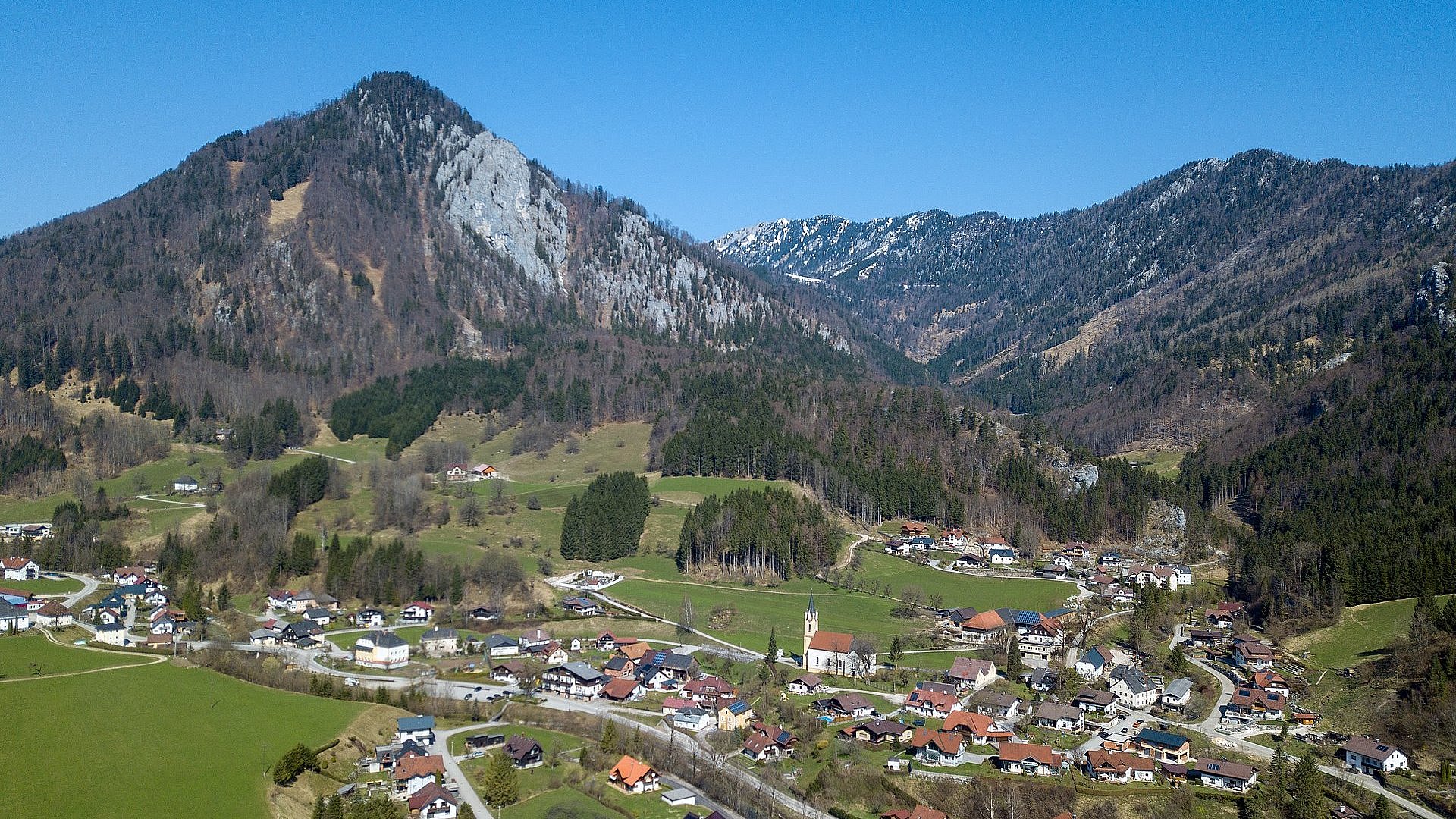
A village strung along the Steyr reservoir on the Pyhrn railway, the Elisabethsee below it and the Steyrling side valley opening towards the Sengsengebirge.
- 3Highlights
- 16Routes
Highlights
7 from neighbouring places
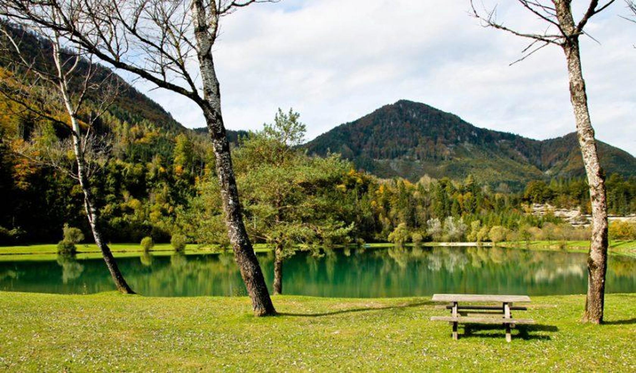
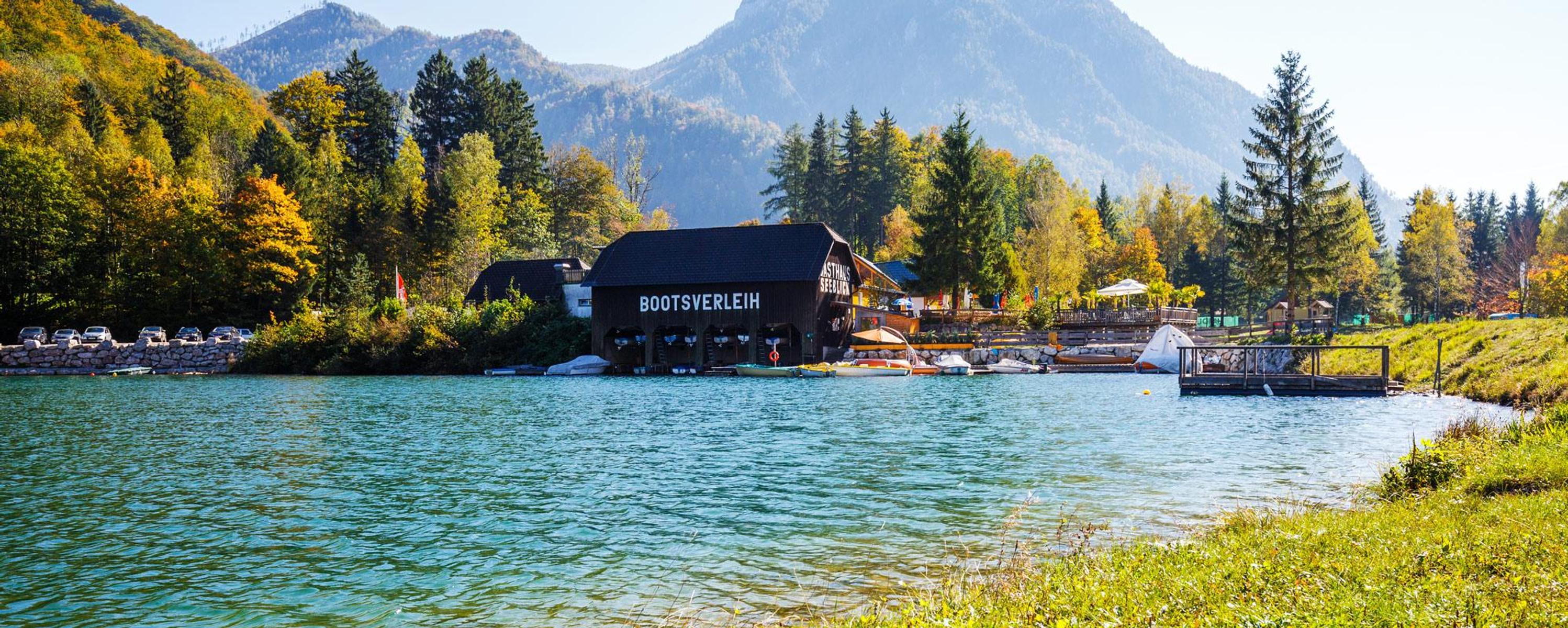
Elisabethsee
A bathing lake at Klaus an der Pyhrnbahn, shallow and warm enough to swim from early summer.
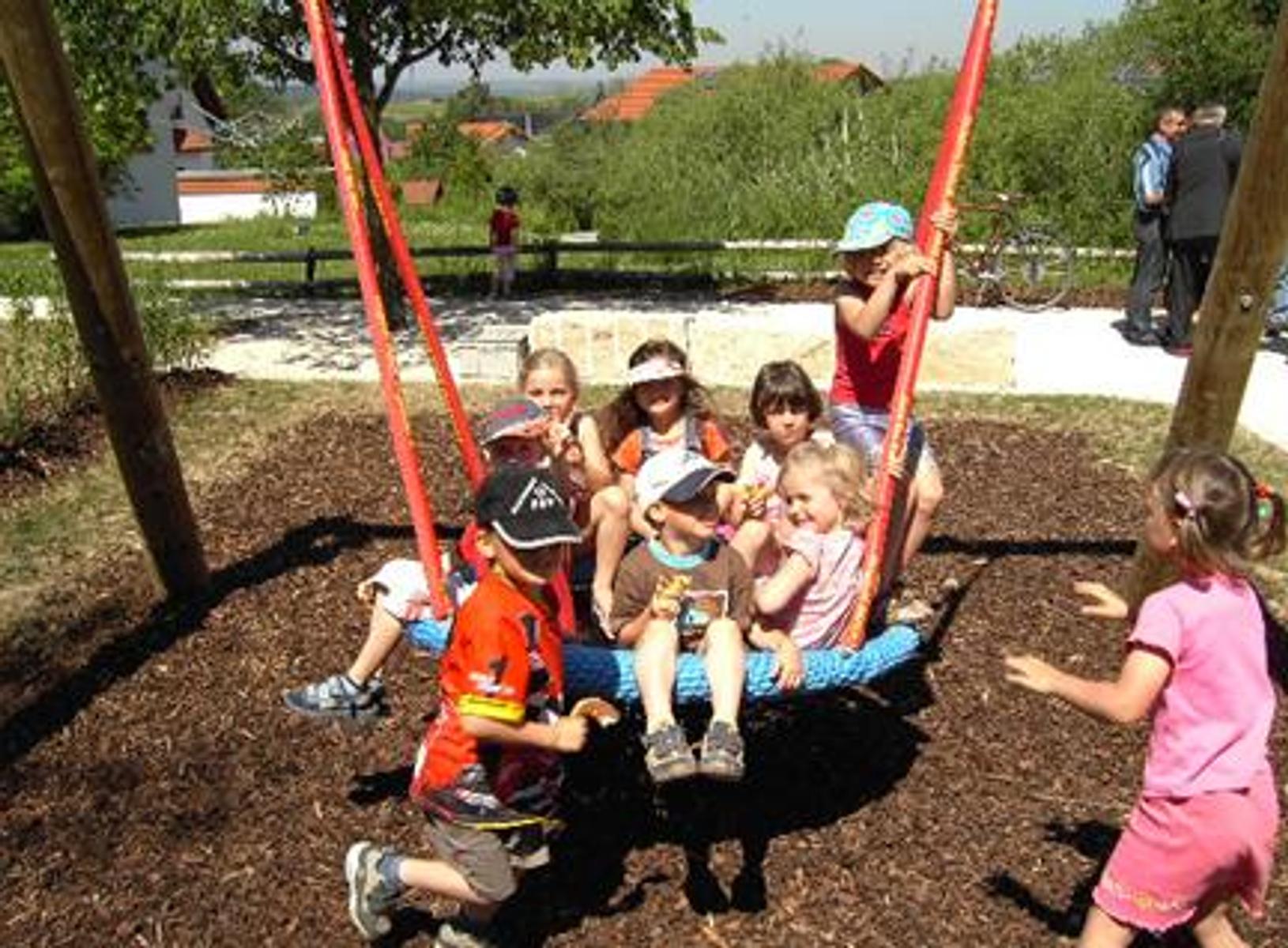
Öffentlicher Spielplatz Steyrling
A public playground at the primary school in Steyrling.
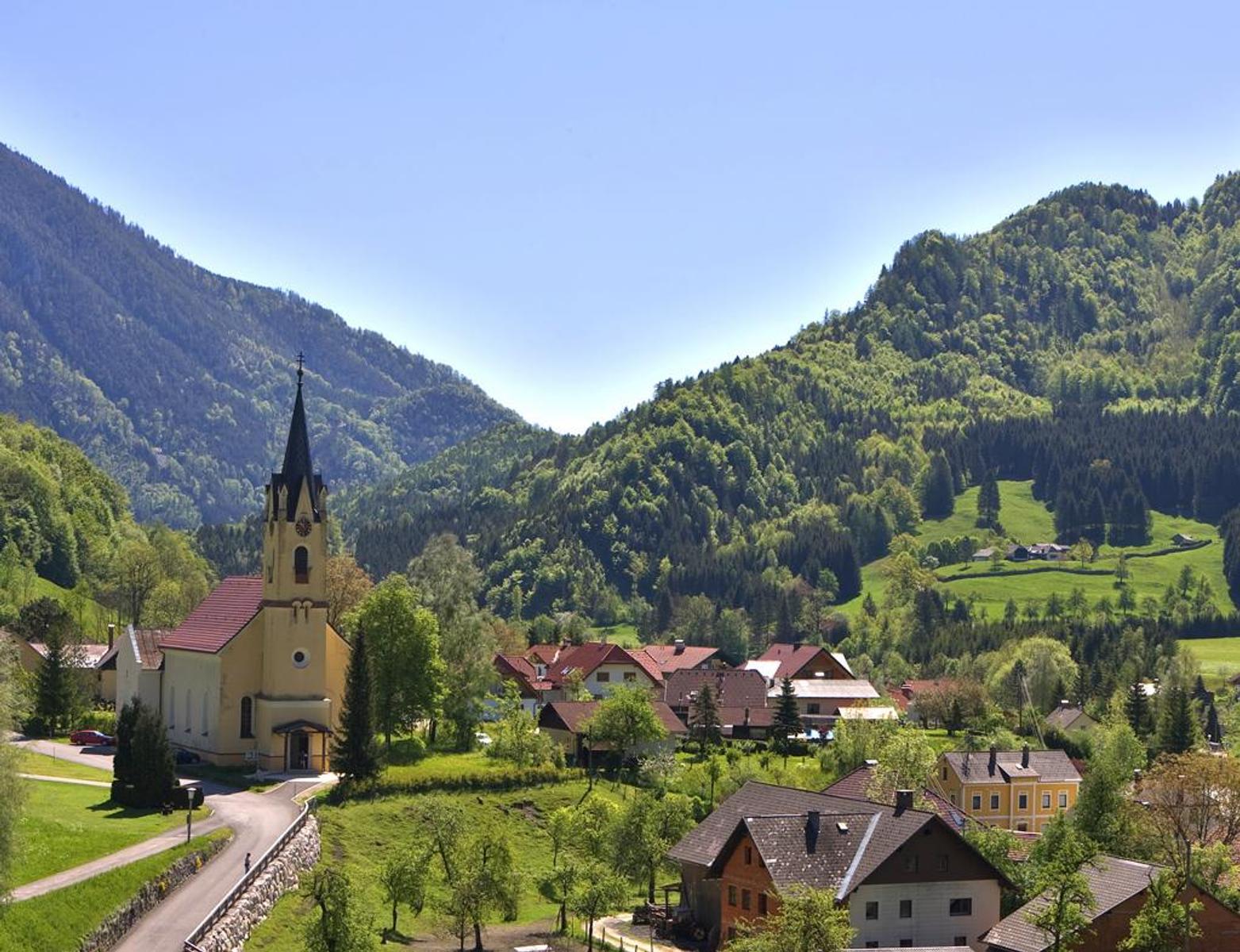
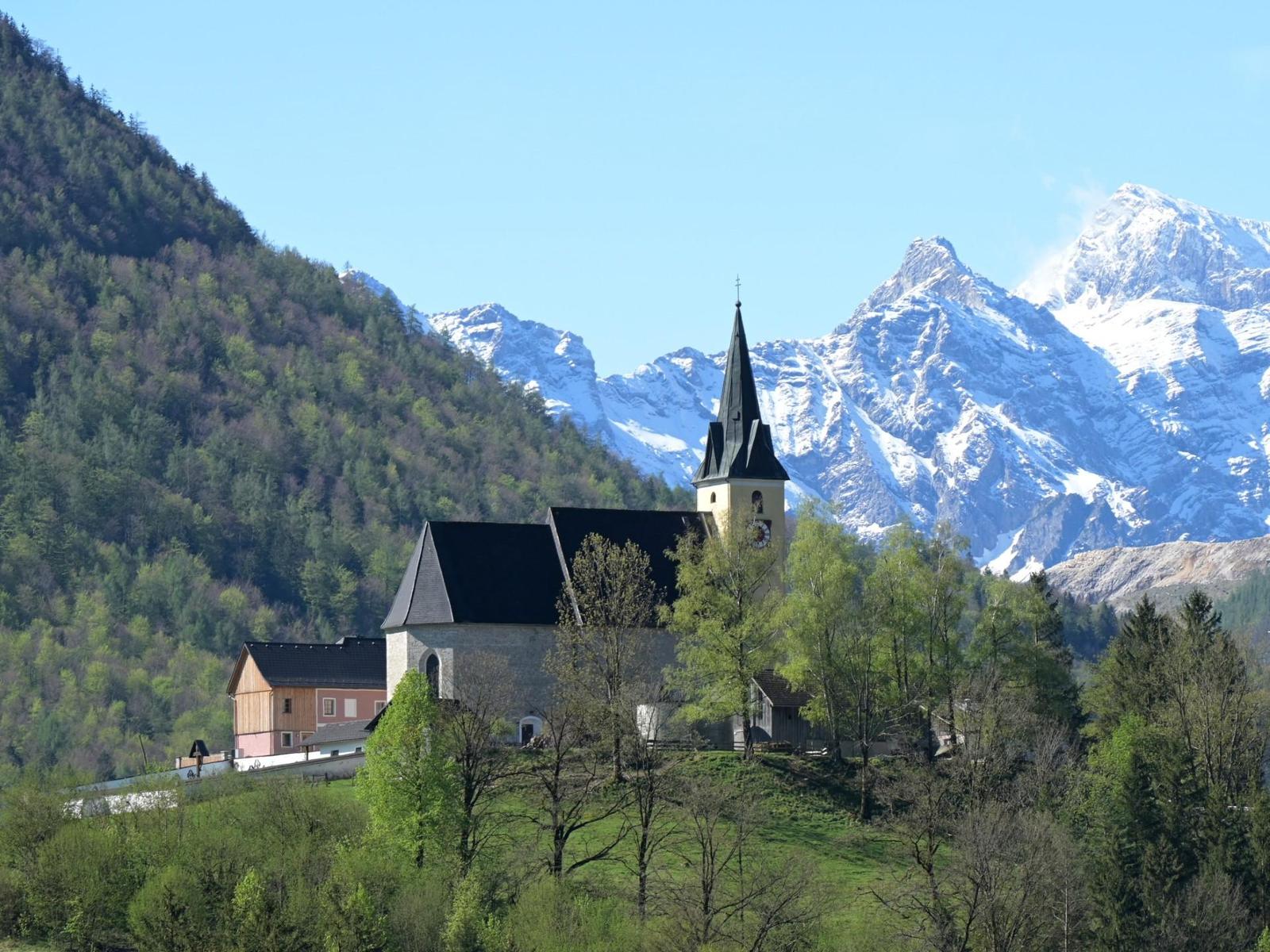
Pfarrkirche Steyrling
The parish church of Steyrling, in the side valley south of Klaus an der Pyhrnbahn.
Naturbadeplatz am Stausee Klaus
5.8 km away, in Molln
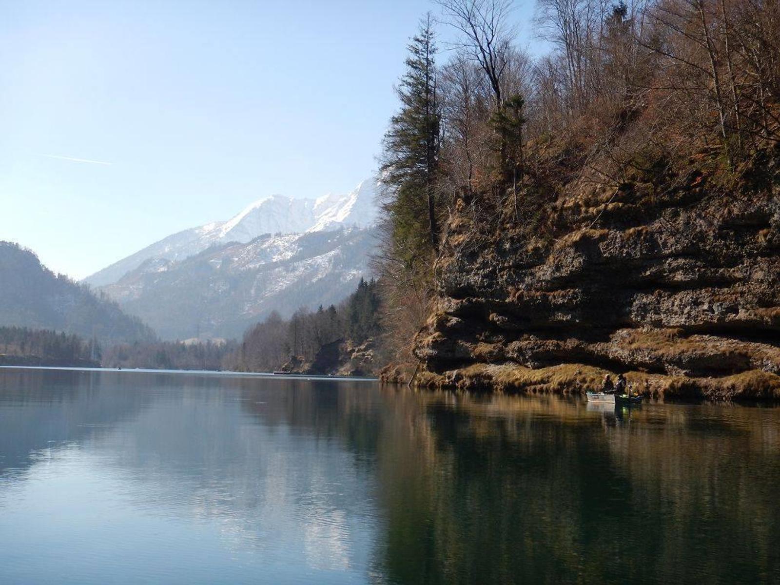
A public bathing place on the Klaus reservoir, where the Steyr is dammed below Molln.
Angeln am Stausee Klaus
6 km away, in Molln
Fishing on the Klaus reservoir for trout and char, and for pike and perch in season.
Öffentlicher Spielplatz Klaus an der Pyhrnbahn
6.3 km away, in Molln
A public playground in Klaus an der Pyhrnbahn, near the church.
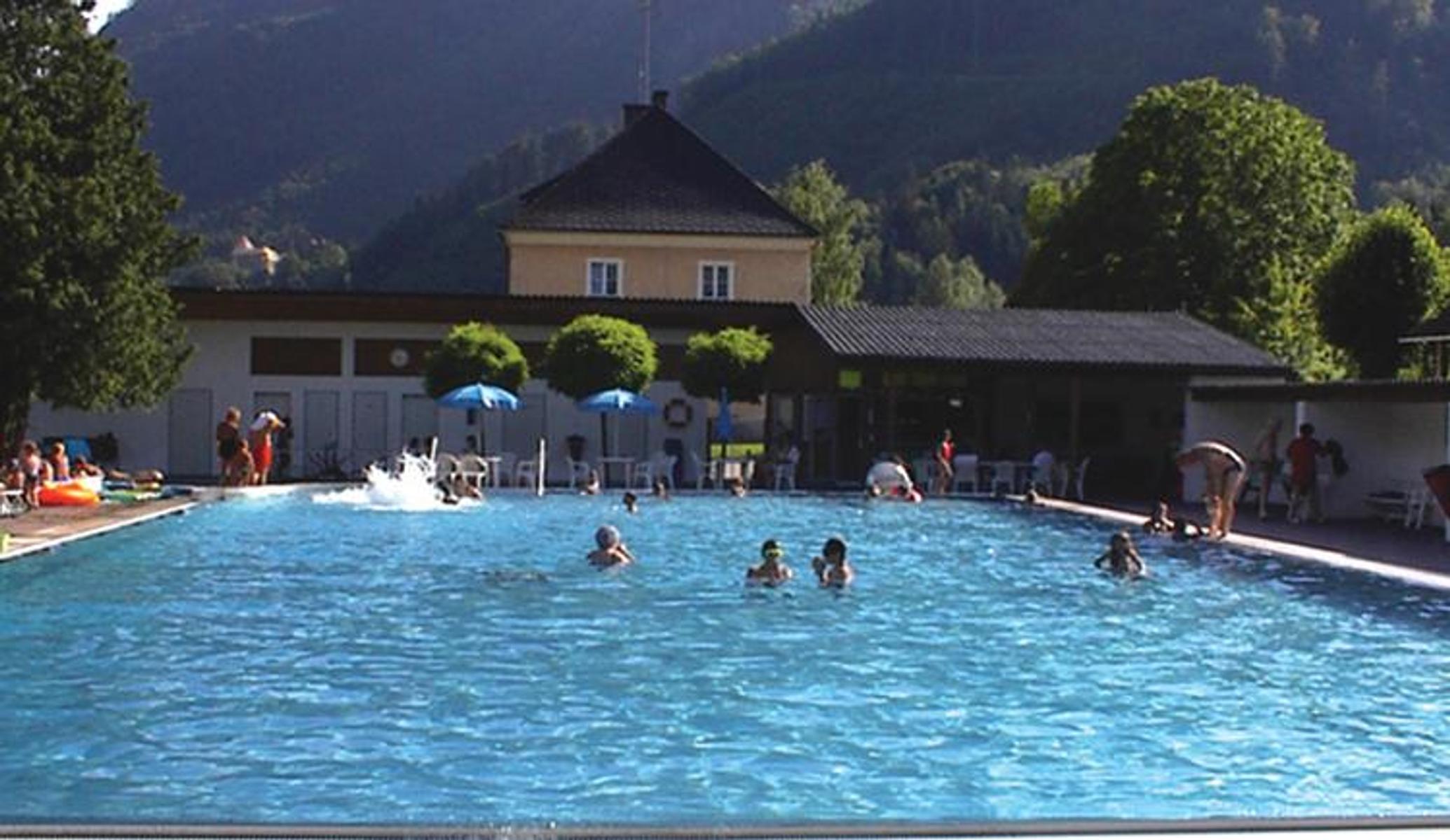
Freibad Klaus
6.5 km away, in Molln
An open-air pool at Klaus, ringed by mountains, with table football, table tennis and a buffet.
Wallfahrtskirche Frauenstein
9.3 km away, in Molln
The pilgrimage church of Frauenstein above Molln, in the Steyr valley.
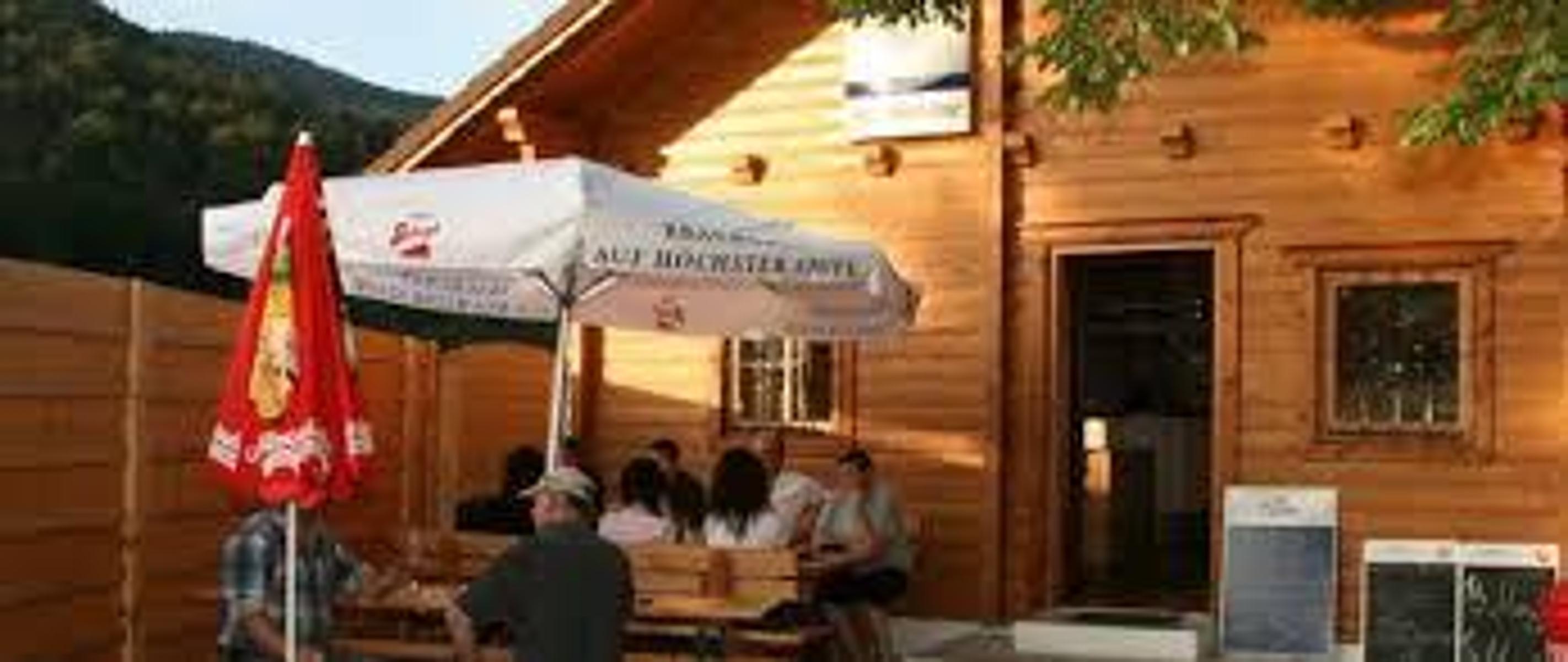
Steyrdurchbruch Hütte
11.4 km away, in Molln
A hut at the Steyr gorge below Molln, where the river cuts through the rock.
Spätgotische Pfarrkirche Vorderstoder
12.8 km away, in Vorderstoder
The late-Gothic parish church of Vorderstoder, dedicated to St. Leopold, at the centre of the village.

 Mountain hut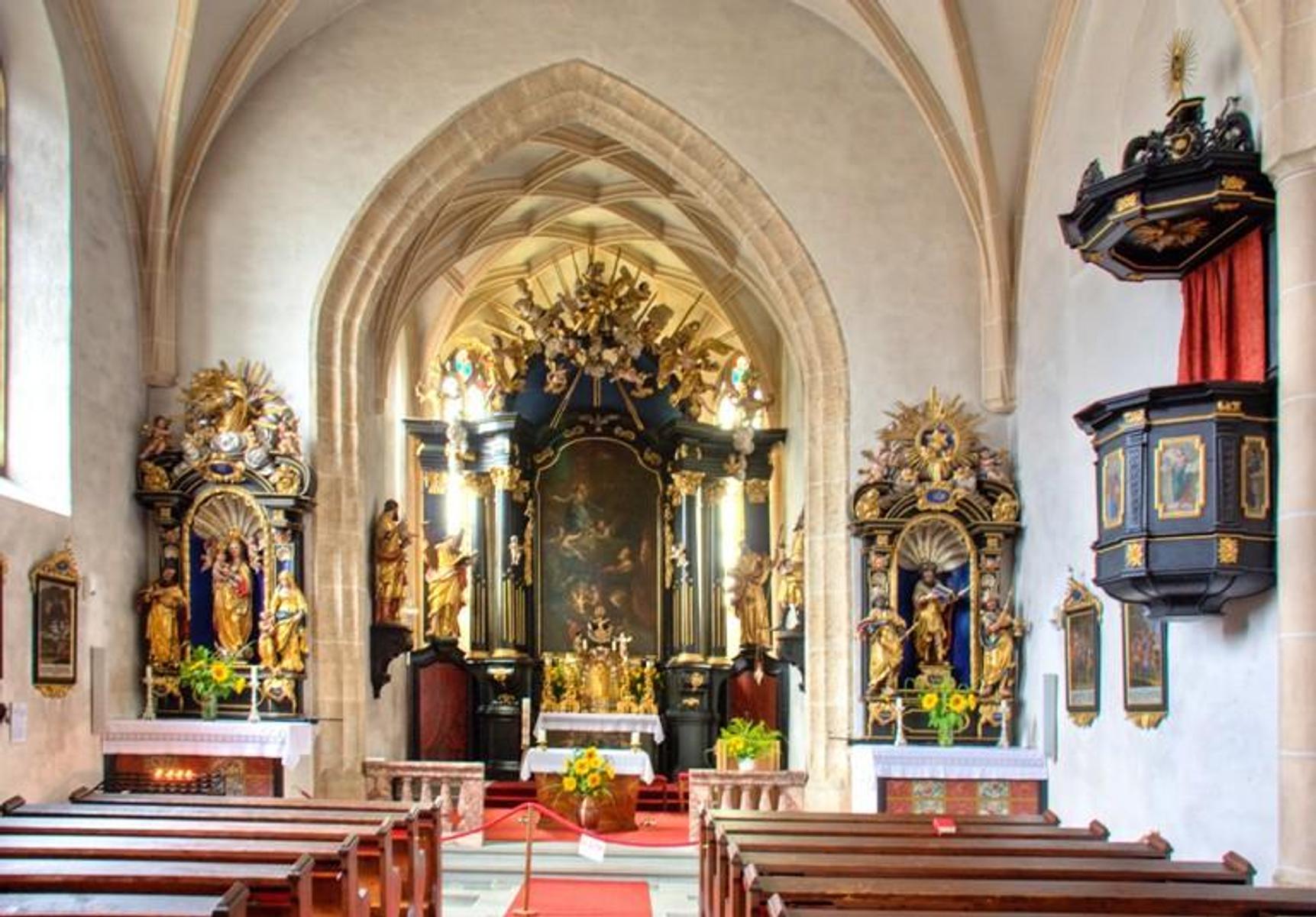
Nothing of this kind in Klaus an der Pyhrnbahn.
Routes
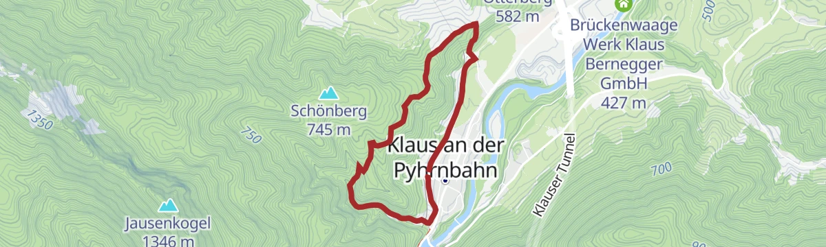
Rundwanderweg Schönberg
An easy half-circuit around the Schönberg near Klaus, opening onto wide views over the surrounding country along the way.
- 4.5 km
- Distance
- 182 m
- Ascent
- 1 h 30 min
- Duration
BergeSeen Trail K2: Steyrerhütte
A traverse of a viewpoint peak in the foothills, with one short cable-secured step that asks for sure footing and a head for heights.
- 12.1 km
- Distance
- 820 m
- Ascent
- 5 h 30 min
- Duration
BergeSeen Trail K1: Almtaler Haus
A long stage crossing from one valley into the next on marked forest roads and woodland paths, closing with the climb up to the hut.
- 15.2 km
- Distance
- 820 m
- Ascent
- 5 h 52 min
- Duration
Skitour Kasberg (Tourengebiet Steyrling)
A straightforward, low-risk ski tour beginning in the Brunnental, skinning up past the Steyrerhütte to the broad top of the Kasberg.
- 15.0 km
- Distance
- 50 m
- Ascent
- 50 m
- Descent
- 3 h 43 min
- Duration
Skitour Schwalbenmauer (Tourengebiet Steyrling)
A midwinter ski tour with a long approach through the Katzengraben, opening onto the north walls of the Prielgruppe from higher up.
- 6.5 km
- Distance
- 1 110 m
- Ascent
- 1 110 m
- Descent
- 3 h 41 min
- Duration
Kremstalradweg R10
A short stretch of the Krems valley cycle route, through wooded country below the Pyhrn line.
- 65.4 km
- Distance
- 508 m
- Ascent
- 6 h 12 min
- Duration
Pyhrn-Priel Panorama Radtour
A very long circuit of the Pyhrn-Priel region on quiet back roads, with enough climbing to make an electric bike welcome.
- 115.5 km
- Distance
- 850 m
- Ascent
- 11 h 3 min
- Duration
Rundweg Fischbach
A short stroll along the southern edge of Steyrling, popular with locals, looking back at the village and across to the Kremsmauer and the Falkenstein.
- 804 m
- Distance
- 9 m
- Ascent
- 13 min
- Duration
Brunnental
A walk in Empress Sissi's footsteps from Steyrling over the Ring to the Ödseen lakes, with the option of carrying on into the Almtal.
- 12.3 km
- Distance
- 446 m
- Ascent
- 3 h 47 min
- Duration
Energie Tour
A long circuit through the hills around Molln in Upper Austria, nearly thirty kilometres with only moderate climbing.
- 28.4 km
- Distance
- 552 m
- Ascent
- 8 h 12 min
- Duration
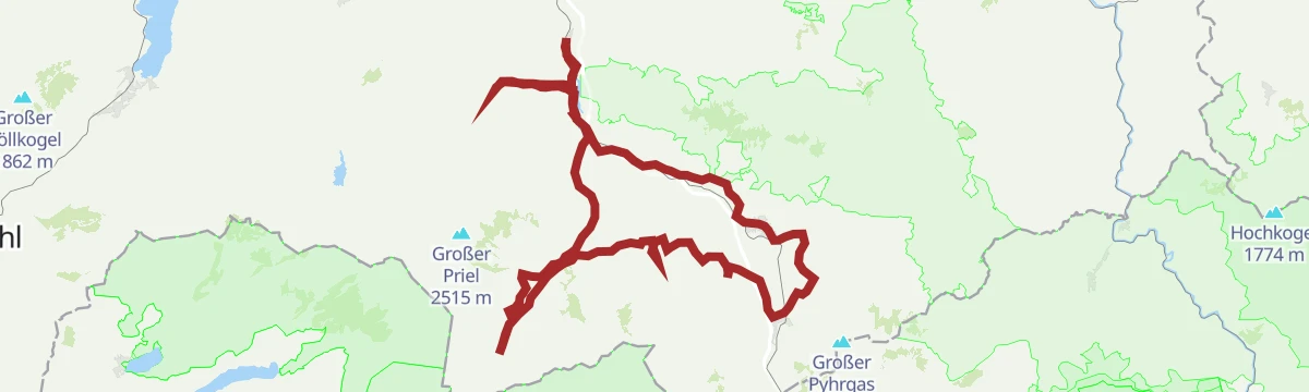
Rund um den Nationalpark Kalkalpen
A long tour right around the Nationalpark Kalkalpen, big enough that it is often split across two days.
- 138.4 km
- Distance
- 3 147 m
- Ascent
- 15 h 15 min
- Duration
Schloss Klaus
A short, easy round from the valley up to the castle and on to the Bergkirche, returning across the meadow of the Hofwiese.
- 1.7 km
- Distance
- 62 m
- Ascent
- 34 min
- Duration
Kasberg über Steyrerhütte
A climb out of the Brunnental at Steyrling, passing the Steyrerhütte on the way to the top of the Kasberg.
- 17.5 km
- Distance
- 1 219 m
- Ascent
- 8 h 7 min
- Duration
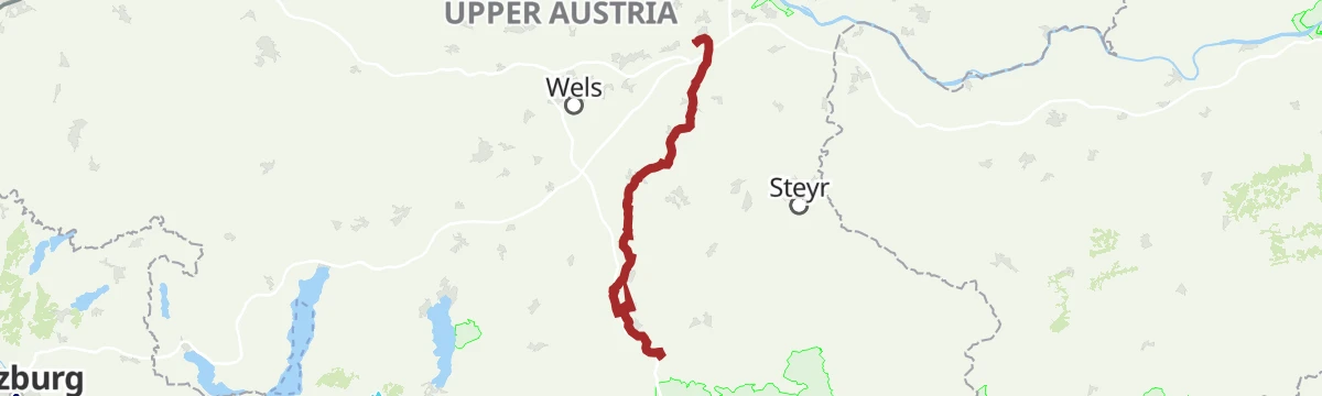
Steyr - Spital am Pyhrn
A valley ride from Steyr along the old Steyrtalbahn alignment, past the Klaus reservoir and over a former Pyhrnbahn bridge into the Kalkalpen.
- 72.0 km
- Distance
- 1 309 m
- Ascent
- 7 h 30 min
- Duration
Steyrling
A demanding climb from the village up the Pastorensteig and through the Kaltauer Graben to the pyramid on the Spitzmauer.
- 9.7 km
- Distance
- 1 315 m
- Ascent
- 5 h 44 min
- Duration
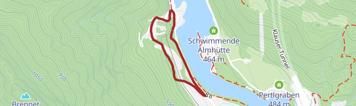
Steyrtal Radweg R8
A route that follows the Steyr upstream from the town as far as Klaus, threading the valley through the Oberösterreich foothills.
- 49.4 km
- Distance
- 898 m
- Ascent
- 5 h 8 min
- Duration







No routes of this kind in Klaus an der Pyhrnbahn yet.
Planning a trip to Klaus an der Pyhrnbahn?
Everything else Upper Austria has, in one place


Take Klaus an der Pyhrnbahn with you into the mountains
Every route on this page with 3D terrain, GPX navigation and offline maps — including the valleys with no signal.
Data sources
- Official website: 360alpenland.com ↗
- Routes and highlights: 360alpenland, Salzkammergut
- Published as open data by the tourist boards named above.
- Region summary generated from the board's own material.
