
 Cable car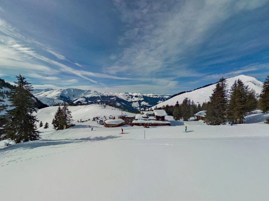
 Viewpoint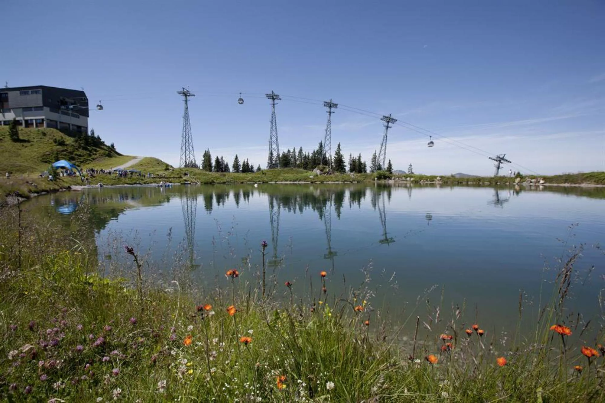
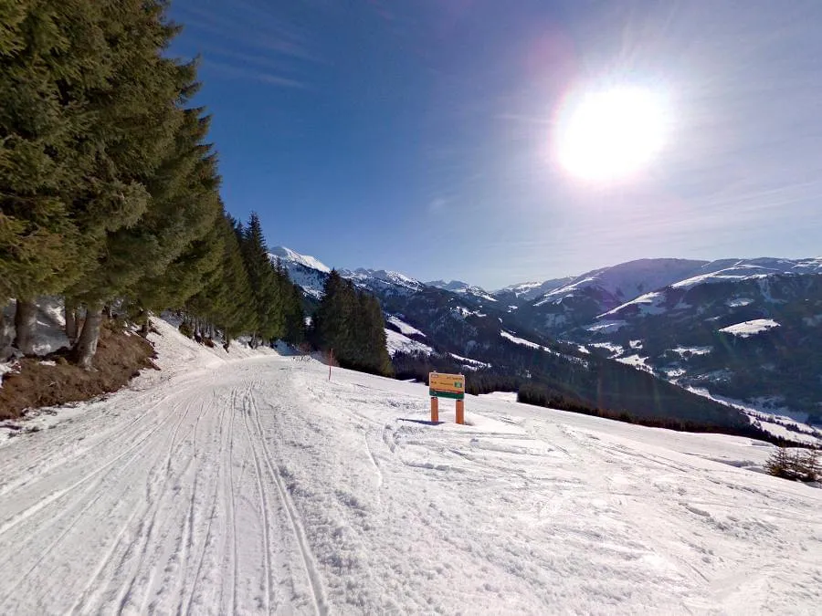
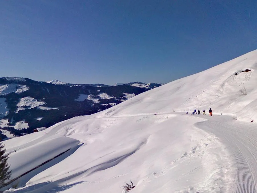
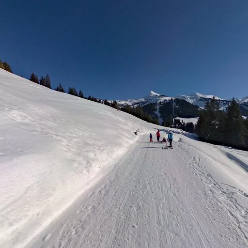
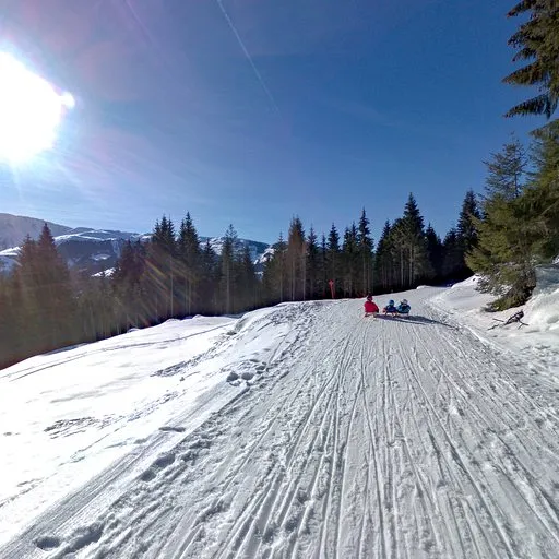























Curated by Kitzbüheler Alpen Tourismus
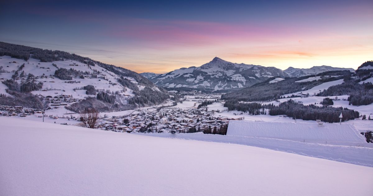
Kirchberg in Tirol
The Brixental's biggest resort village at 837 m next door to Kitzbühel, with lifts up the Fleckalm toward the Hahnenkamm and the quiet Aschau side valley.
- 6Highlights
- 102Routes
- Featured summit · Kitzbüheler Horn
Highlights
9 from neighbouring places
2025 | Skill Area Fleckalm
A mountain-bike skills area at the Fleckalm near Kirchberg, with berms, rollers and practice features for technique training.
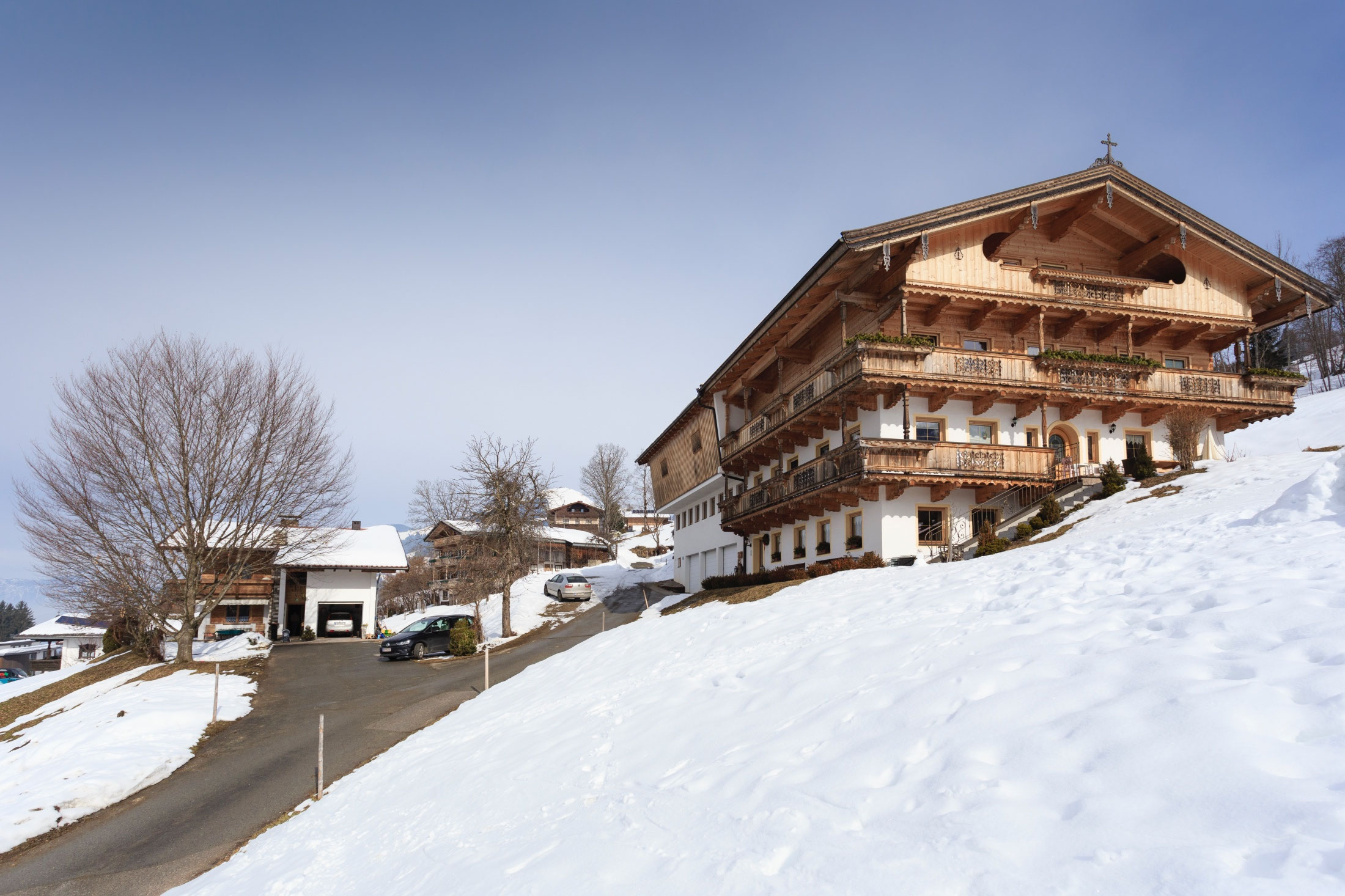
Gasthof Ruetzenhof
A mountain guesthouse above Kirchberg in Tirol, serving home cooking to walkers on the sunny slopes of the Brixental.
Klooalm
A pasture hut in the Spertental south of Kirchberg in Tirol, a stop on the quiet walking and cycling routes into the valley.
Gaisberglift
A lift on the Gaisberg at Kirchberg in Tirol, serving the small local slope beside the village.
Pano Rundblick Brechhornhaus winter
A winter 360-degree panorama taken at the Brechhornhaus, a mountain inn below the Brechhorn between Westendorf and the Spertental.
Bergbahn Kirchberg - Fleckalmbahn
The Fleckalmbahn gondola from Kirchberg onto the Ehrenbachhöhe, linking the village into the Kitzbühel ski area's slopes and summer trails.
Pano Rundlblick5
4.2 km away, in Westendorf
A numbered 360-degree panorama station in the Rundblick network of the Kitzbüheler Alpen, set among the pastures above the Brixental.
Panorundblick Talstation Talkaser
4.2 km away, in Brixen im Thale
A 360-degree panorama viewpoint at the Talkaser station in the Westendorf lift area of the Kitzbüheler Alpen.
Pano Rundblick Schrandl1
4.3 km away, in Westendorf
The first of the Schrandl group of 360-degree panorama points in the Kitzbüheler Alpen, covering the slopes south of the Brixental.
Pano Rundblick Schrandl2
4.4 km away, in Westendorf
The second of several 360-degree panorama points at Schrandl in the Kitzbüheler Alpen, part of the Rundblick network of full-circle viewpoints.
Pano rundblick Schrandl3
4.4 km away, in Westendorf
A 360-degree panorama viewpoint at Schrandl in the Kitzbüheler Alpen, one of several full-circle photo points spread along this stretch of ridge.
Pano Rundblick Schrandl4
4.6 km away, in Westendorf
One of a cluster of 360-degree panorama points at Schrandl in the Kitzbüheler Alpen, recording the ring of grass summits around the Brixental.
Pano Rundblick Osl Panorama
4.9 km away, in Westendorf
A 360-degree panorama viewpoint at the Osl, one of a network of full-circle photo points on the grassy heights of the Kitzbüheler Alpen.
Pano Rundblick Choralpe
5.2 km away, in Brixen im Thale
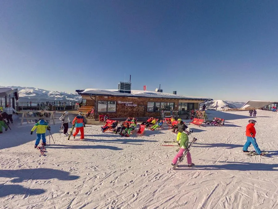
An online 360-degree panorama taken from the Choralpe above Westendorf, showing the view across the Brixental.
Pano Rundblick Spoggolino Start
5.2 km away, in Brixen im Thale
A 360-degree panorama point at the start of the Spoggolino route above Westendorf in the Kitzbüheler Alpen.
Nothing of this kind in Kirchberg in Tirol.
Routes
50 routes, an even mix of activities · see the rest on kitzbueheler-alpen.com ↗
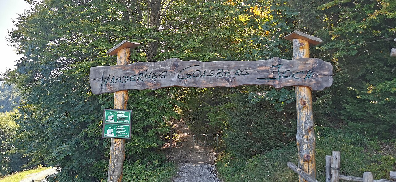
GOASberg Rätseltour
Level riddle trail at the top of Kirchberg's Gaisberg lift, where puzzle stations for children circle past the Obergaisbergsee.
- 2.3 km
- Distance
- 0 m
- Ascent
- 32 min
- Duration
- 8
- Check-ins
4-Seen-Runde
From the Fleckalmbahn top station in Kirchberg, this circuit links four mountain reservoirs across the ski terrain, rounding the Pengelstein with a stop possible at the Berggasthof Sonnenrast.
- 13.0 km
- Distance
- 527 m
- Ascent
- 4 h 20 min
- Duration
- 92
- Check-ins
 Ehrenbachhöhe 1 802 m
- Jufenkamm 1 905 m
 Sonnenrast (Berggasthof) 1 775 m
- Pengelstein 1 923 m
 Speichersee Ehrenbachhöhe 1 764 m
- S3 Bahn - Gondel 1 914 m
- +8
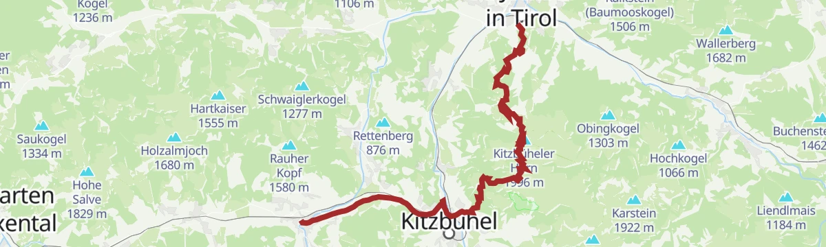
4. Etappe KAT Walk Alpin
The fourth alpine stage of the KAT Walk long-distance trail, climbing out of Aschau bei Kirchberg over the ridge toward the Hahnenkamm and its Streif start house.
- 15.9 km
- Distance
- 1 090 m
- Ascent
- 7 h 17 min
- Duration
- 198
- Check-ins
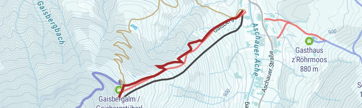
Pisten-Skitour am Gaisberg
A short on-piste ascent beside the Gaisberglift in Kirchberg, well suited to first attempts at skinning, with the Gaisbergalm at the top and a groomed run back down.
- 1.8 km
- Distance
- 0 m
- Ascent
- 0 m
- Descent
- 26 min
- Duration
- 6
- Check-ins
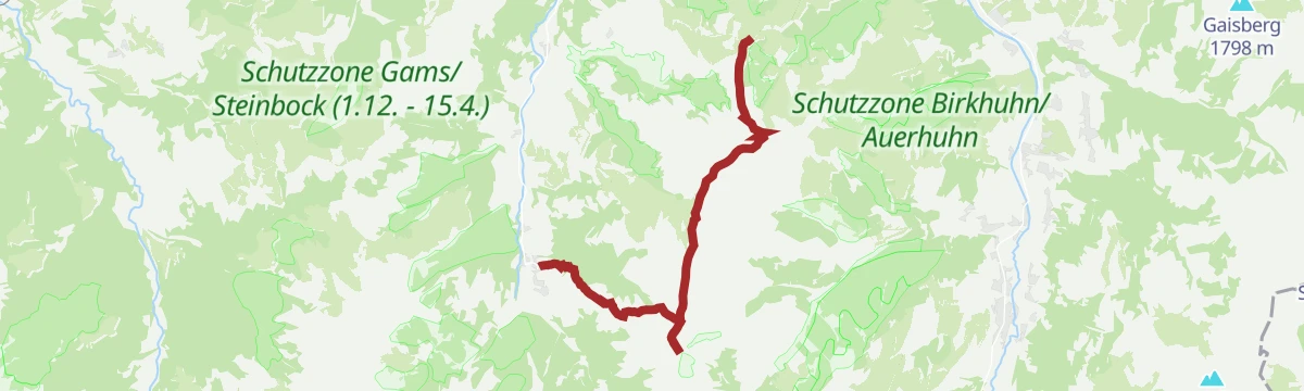
Skitour Tanzkogel
From the Ebenau car park in the Spertental past the Kasplatzl show dairy and a chain of alm meadows to a panoramic top above Aschau; a long tour that wants stable snow.
- 8.7 km
- Distance
- 980 m
- Ascent
- 980 m
- Descent
- 3 h 37 min
- Duration
- 15
- Check-ins
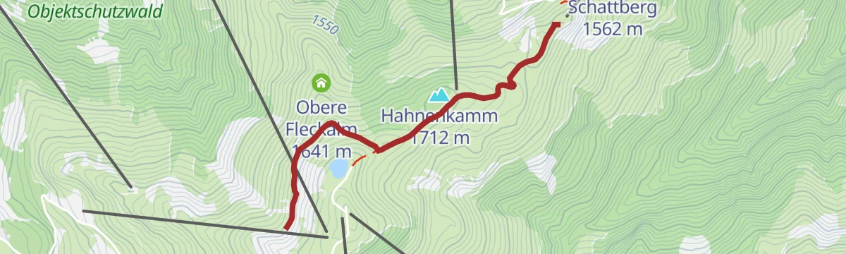
2006 | Zum Fleckalmtrail
A short, easy connector across the Hahnenkamm summit area, linking Hochkitzbühel and the Märchenwald lift with the start of the Fleckalm descent.
- 2.0 km
- Distance
- 100 m
- Ascent
- 17 min
- Duration
- 45
- Check-ins
2036 | Kirchberg Trail
A 10 km descent from the ridge at about 1,780 m down past the Ochsalm to the valley, with almost no climbing on the way.
- 9.9 km
- Distance
- 28 m
- Ascent
- 54 min
- Duration
- 26
- Check-ins
232 | Hahnenkamm - Runde
A long circuit over the Pengelstein at 1,923 m and back, taking in the Melkalm, the Sonnenrast and the Berghaus Tyrol.
- 34.0 km
- Distance
- 1 375 m
- Ascent
- 4 h 19 min
- Duration
- 136
- Check-ins
Bike&Hike Karalm
A short, easy climb from the valley past the Hintenbachalm and Ebenaualm, the ride in before a walk to the high pastures.
- 5.0 km
- Distance
- 335 m
- Ascent
- 51 min
- Duration
- 11
- Check-ins
Bike&Hike Hirzegg
A steep 600 m climb from the Kirchberg side up past the Ebenaualm and Sonnwendalm to the alm at 1,551 m, where the walking starts.
- 7.6 km
- Distance
- 608 m
- Ascent
- 1 h 29 min
- Duration
- 17
- Check-ins
2. Etappe KAT Bike Sport+
The second stage of a multi-day route, with 3,435 m of climbing over the Hahnenkamm and Pengelstein past the Melkalm and Fleckalm.
- 74.4 km
- Distance
- 3 435 m
- Ascent
- 9 h 51 min
- Duration
- 158
- Check-ins
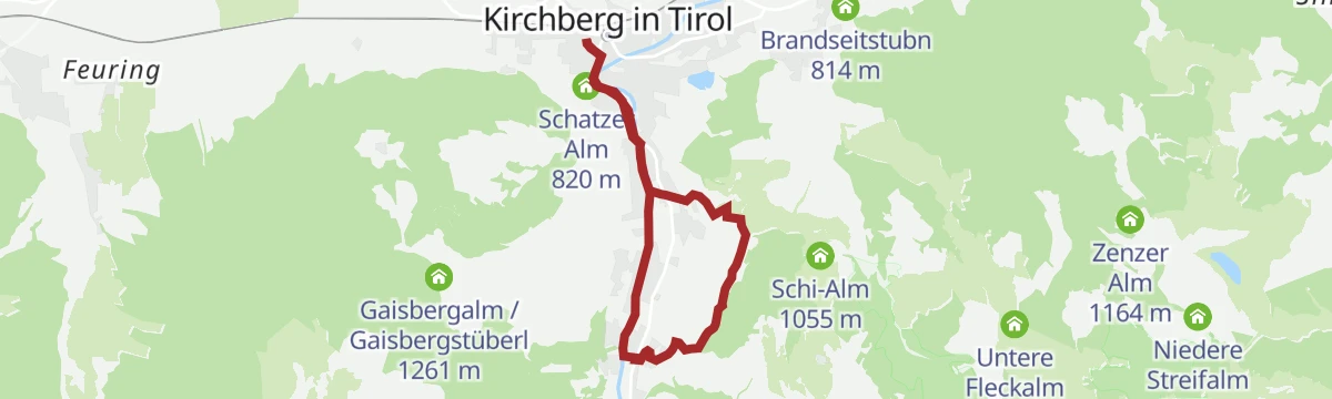
Obwiesen
Gentle loop through open fields on Kirchberg's edge, connecting the village center, the Gasthaus z'Röhrmoos and the Schatzer Alm.
- 5.7 km
- Distance
- 130 m
- Ascent
- 1 h 40 min
- Duration
- 6
- Check-ins
Schwarzkogel Easy
From the Fleckalmbahn top station, a long but gentle ridge line over the Pengelstein past two reservoir lakes, descending to Aschau, where the guest-card bus runs back to Kirchberg.
- 11.4 km
- Distance
- 492 m
- Ascent
- 3 h 53 min
- Duration
- 84
- Check-ins
Umgebung: 3. Etappe KAT Walk Family
The longest KAT Walk Family stage, 26.5 km from Kirchberg over the Kitzbüheler Horn and the Harschbichl to St. Johann in Tirol.
- 26.5 km
- Distance
- 1 333 m
- Ascent
- 9 h 59 min
- Duration
- 124
- Check-ins
Skitour Floch
From the Ebenau car park in Aschau past the Oberlandhuette and the Kasplatzl show dairy, then up alm slopes to a steeper summit flank; a full-scale tour for stable conditions.
- 7.5 km
- Distance
- 1 082 m
- Ascent
- 1 082 m
- Descent
- 3 h 45 min
- Duration
- 10
- Check-ins
291 | Lisi Osl Trail
A short flow trail dropping from the Gaisbergalm at 1,261 m back towards Kirchberg in Tirol, with the chairlift doing the climbing.
- 2.0 km
- Distance
- 0 m
- Ascent
- 11 min
- Duration
- 6
- Check-ins
293 | Fleckalm Trail
A 7 km trail descent from the Sonnenrast at 1,775 m, dropping through the pastures to the gondola valley station.
- 7.7 km
- Distance
- 18 m
- Ascent
- 42 min
- Duration
- 22
- Check-ins
Dirty GOAT Challenge
Over 4,000 m of climbing in 43 km across the Kitzbühel ski mountains, taking in the Ehrenbachhöhe, the Hahnenkamm and the Fleckalm.
- 54.6 km
- Distance
- 4 069 m
- Ascent
- 10 h 7 min
- Duration
- 129
- Check-ins
Bike&Hike Schöntalalm
An 8 km climb to the alm at 1,601 m above the Kirchberg valleys, with the Sonnwendalm and Ebenaualm lower down.
- 8.0 km
- Distance
- 650 m
- Ascent
- 1 h 35 min
- Duration
- 15
- Check-ins
Bike&Hike Schwarzkogel
Over 2,300 m of climbing in 28 km, up past the Ochsalm to the ridge at the Pengelstein before the walk to the summit.
- 28.3 km
- Distance
- 2 314 m
- Ascent
- 5 h 38 min
- Duration
- 105
- Check-ins
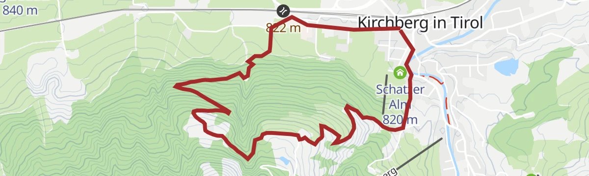
Obergaisberg Runde
Easy round from Kirchberg onto the lower Gaisberg slopes, passing the Schatzer Alm on wide paths suited to families.
- 5.9 km
- Distance
- 228 m
- Ascent
- 1 h 57 min
- Duration
- 3
- Check-ins
Brixentaler Höhenwanderung
A nearly level traverse high above the Brixental, strung between a chain of huts including the Baerstaettalm, Brechhornhaus and Gaisbergalm, with lift stations at either end.
- 12.0 km
- Distance
- 156 m
- Ascent
- 3 h 12 min
- Duration
- 53
- Check-ins
Almrosenweg
A big day above Brixen im Thale through slopes thick with alpenroses in early summer, linking the Choralpe panorama restaurant, the Brechhornhaus and the Wiegalm.
- 23.6 km
- Distance
- 1 480 m
- Ascent
- 10 h 8 min
- Duration
- 50
- Check-ins
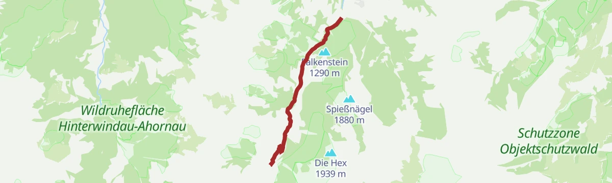
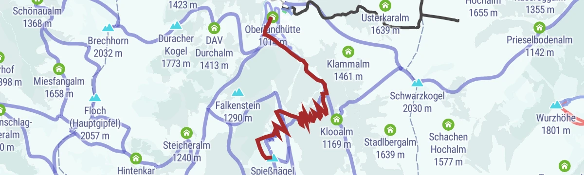
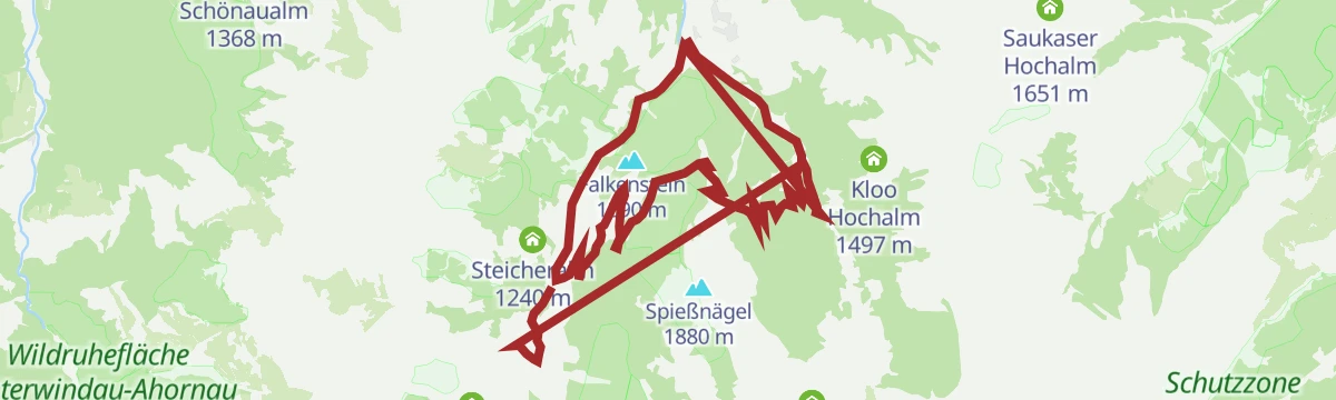
Skitour Spießnägel
Out of Aschau past the Hirzeggalm, climbing steadily to a rocky crest deep in the Spertental; the Oberlandhuette offers a warm stop near the valley floor.
- 6.9 km
- Distance
- 903 m
- Ascent
- 903 m
- Descent
- 3 h 12 min
- Duration
- 10
- Check-ins
292 | Gaisberg Trail
A short, easy descent from the alm at 1,261 m, starting at the top of the lift above Kirchberg and losing height all the way.
- 2.3 km
- Distance
- 0 m
- Ascent
- 12 min
- Duration
- 6
- Check-ins
204 | Rettensteinrunde
A circuit past the Schaukäserei Kasplatzl and the Ebenaualm to the hut at 1,263 m, with the Sonnwendalm as the high point.
- 12.4 km
- Distance
- 624 m
- Ascent
- 1 h 44 min
- Duration
- 11
- Check-ins
EPIC 360° Zweitausender Tour
A 60 km day on forest roads above Jochberg, over the Gauxjoch and the Hartkaserhöhe to the Panoramaalm just under 2,000 m.
- 60.6 km
- Distance
- 2 083 m
- Ascent
- 7 h 21 min
- Duration
- 110
- Check-ins
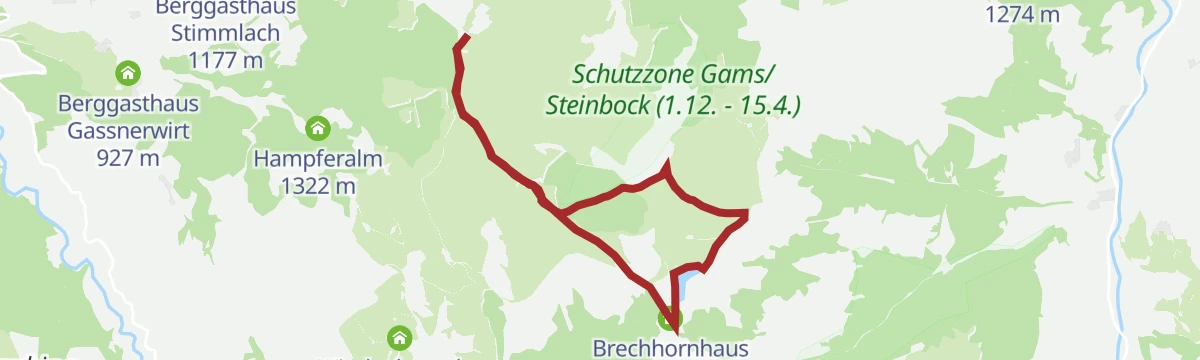
Bike&Hike Kreuzjöchlsee-Brechhorn
A climb over the Kreuzjoch to the reservoir at 1,686 m and the Brechhornhaus, from where the Brechhorn is reached on foot.
- 15.0 km
- Distance
- 1 366 m
- Ascent
- 3 h 15 min
- Duration
- 36
- Check-ins
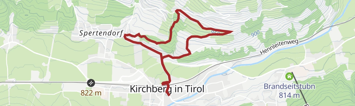
Weinbergtrail
Short loop over Kirchberg's Weinberg knoll, mixing forest paths and meadow lanes just above the village rooftops.
- 4.9 km
- Distance
- 190 m
- Ascent
- 1 h 37 min
- Duration
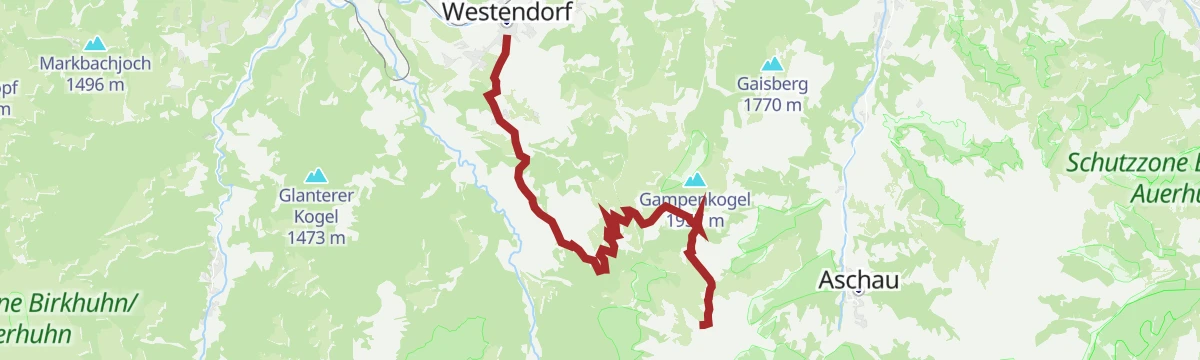
Gampenkogel
Panoramic ridge walk from the Talkaser lift station past the Speicherteich Kreuzjöchl and the Brechhornhaus, collecting the Laubkogel before an easy summit finish.
- 6.9 km
- Distance
- 409 m
- Ascent
- 2 h 51 min
- Duration
- 40
- Check-ins
Brechhorn
Big Kitzbühel Alps round from the Alpenrosenbahn over the Kreuzjoch and the Höhningerscharte to a 2,032 m grass summit, with the Brechhornhaus for a rest on the way.
- 31.9 km
- Distance
- 1 608 m
- Ascent
- 11 h 45 min
- Duration
- 47
- Check-ins
Skitour Gerstinger Joch
From Aschau deep in the Spertental past the Oberlandhuette and Stallbach Grundalm to a saddle on the main Kitzbuehel Alps crest, with wide slopes that hold good snow.
- 7.3 km
- Distance
- 958 m
- Ascent
- 958 m
- Descent
- 3 h 24 min
- Duration
- 4
- Check-ins
202 | Obergaisberg
A short, easy mountain-bike route out of Kirchberg in Tirol, past the Schatzer Alm and the Schatzerlift, with little climbing.
- 5.5 km
- Distance
- 228 m
- Ascent
- 42 min
- Duration
- 3
- Check-ins
203 | Gaisberg
A forest-road climb of some 600 m from Kirchberg in Tirol to the alm hut at 1,261 m, passing a small lake at 1,056 m.
- 9.6 km
- Distance
- 616 m
- Ascent
- 1 h 35 min
- Duration
- 9
- Check-ins
Pengelsteinrunde
A circuit up to the ridge at nearly 1,930 m, past the s'Ochsal hut and the reservoir at Brunn, then back down to the valley.
- 20.1 km
- Distance
- 1 043 m
- Ascent
- 2 h 52 min
- Duration
- 94
- Check-ins
02 - Rund um die Salve und den Kaiser
A long road loop out of Scheffau down to Kufstein and back through Hopfgarten, passing the Erlensee on the return.
- 95.3 km
- Distance
- 1 074 m
- Ascent
- 9 h 28 min
- Duration
- 34
- Check-ins
Spertental Runde
Alm-to-alm circuit in the protected Spertental south of Kirchberg, passing the Kasplatzl show dairy and half a dozen pastures around Aschau.
- 19.3 km
- Distance
- 881 m
- Ascent
- 6 h 42 min
- Duration
- 24
- Check-ins
Umgebung: 2. Etappe KAT Walk Family
Second KAT Walk Family stage, from Brixen im Thale to Kirchberg in Tirol over the Gaisberg and the Gaisbergjoch, passing the Obergaisbergsee.
- 14.8 km
- Distance
- 961 m
- Ascent
- 6 h 30 min
- Duration
- 36
- Check-ins
Pisten-Skitour auf den Schwarzkogel
On-piste ski tour from Aschau climbing nearly 1,000 m toward the Schwarzkogel, a fitness-oriented uphill line inside the ski area.
- 6.9 km
- Distance
- 959 m
- Ascent
- 959 m
- Descent
- 3 h 21 min
- Duration
277 | Wiegalm Trail
A short, easy trail descent above Kirchberg in Tirol, barely 3 km long and with no climbing to speak of on the way down.
- 3.2 km
- Distance
- 3 m
- Ascent
- 17 min
- Duration
203 | Gaisberg - Runde
A short round above Kirchberg to the Gaisbergalm at 1,261 m, passing the Obergaisbergsee.
- 8.7 km
- Distance
- 467 m
- Ascent
- 1 h 16 min
- Duration
- 9
- Check-ins
285 | Pengelsteinrunde
A climb of just over 1,000 m from Kirchberg to the huts at nearly 1,930 m, passing the Ochsalm and the Speicherteich Brunn.
- 20.4 km
- Distance
- 1 068 m
- Ascent
- 2 h 55 min
- Duration
- 78
- Check-ins
21,14 | Salvenradrunde
A long circuit of the Hohe Salve on cycle paths and valley roads, linking the Brixental with Ellmau on the Wilder Kaiser side.
- 53.9 km
- Distance
- 687 m
- Ascent
- 5 h 25 min
- Duration
- 32
- Check-ins
Gaisberg Easy
Moderate route up Kirchberg's local mountain via the Bärstättalm, gaining the Gaisbergjoch and summit on the gentlest line available.
- 7.2 km
- Distance
- 547 m
- Ascent
- 3 h 34 min
- Duration
- 23
- Check-ins
Urzeitweg
Strenuous prehistory-themed circuit above Brixen im Thale, climbing nearly 1,900 m over the Gaisberg with stations tracing the region's deep past.
- 25.9 km
- Distance
- 1 899 m
- Ascent
- 12 h 29 min
- Duration
- 34
- Check-ins
Schwarzkogel Skitour
A committed winter ascent of the Schwarzkogel south of Kitzbühel — over 900 m of climbing in open touring terrain, a route for experienced ski tourers with full avalanche equipment.
- 4.3 km
- Distance
- 939 m
- Ascent
- 939 m
- Descent
- 2 h 58 min
- Duration
261 | Brechhorn
A steady climb from Kirchberg by the Reispalalm to the Brechhornhaus at 1,661 m.
- 12.5 km
- Distance
- 883 m
- Ascent
- 2 h 13 min
- Duration
- 8
- Check-ins
218 | Biketour - Saukasergraben - Pengelstein
A long climb from Kitzbühel through the Saukasergraben to the huts on the Pengelstein at 1,923 m, returning past the Kitzalm.
- 38.0 km
- Distance
- 1 313 m
- Ascent
- 4 h 37 min
- Duration
- 59
- Check-ins
7 Rund um die Hohe Salve
A valley-road loop right around the Hohe Salve massif, running by way of Kitzbühel, Ellmau and Hopfgarten in the Brixental.
- 57.5 km
- Distance
- 765 m
- Ascent
- 5 h 49 min
- Duration
- 31
- Check-ins
Gaisberg Joch
Round from the Gaisberg lift in Kirchberg over the Bärstättalm to the saddle behind the summit, with huts strung along the descent.
- 7.1 km
- Distance
- 536 m
- Ascent
- 3 h 30 min
- Duration
- 23
- Check-ins
No routes of this kind in Kirchberg in Tirol yet.
The region's own picks
Featured route
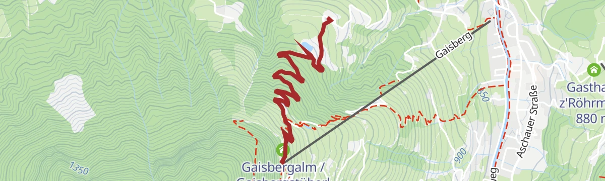
GOASberg Rätseltour
Level riddle trail at the top of Kirchberg's Gaisberg lift, where puzzle stations for children circle past the Obergaisbergsee.
Planning a trip to Kirchberg in Tirol?
Everything else Tyrol has, in one place


Take Kirchberg in Tirol with you into the mountains
Every route on this page with 3D terrain, GPX navigation and offline maps — including the valleys with no signal.
Data sources
- Official website: kitzbueheler-alpen.com ↗
- Routes and highlights: Kitzbüheler Alpen Tourismus, Kitzbühel Tourismus, Kaiserwinkl Tourismus, Wilder Kaiser Tourismus, Kufsteinerland
- Published as open data by the tourist boards named above.
- Region summary generated from the board's own material.
