
Curated by Nassfeld-Pressegger See Tourismus
Kirchbach
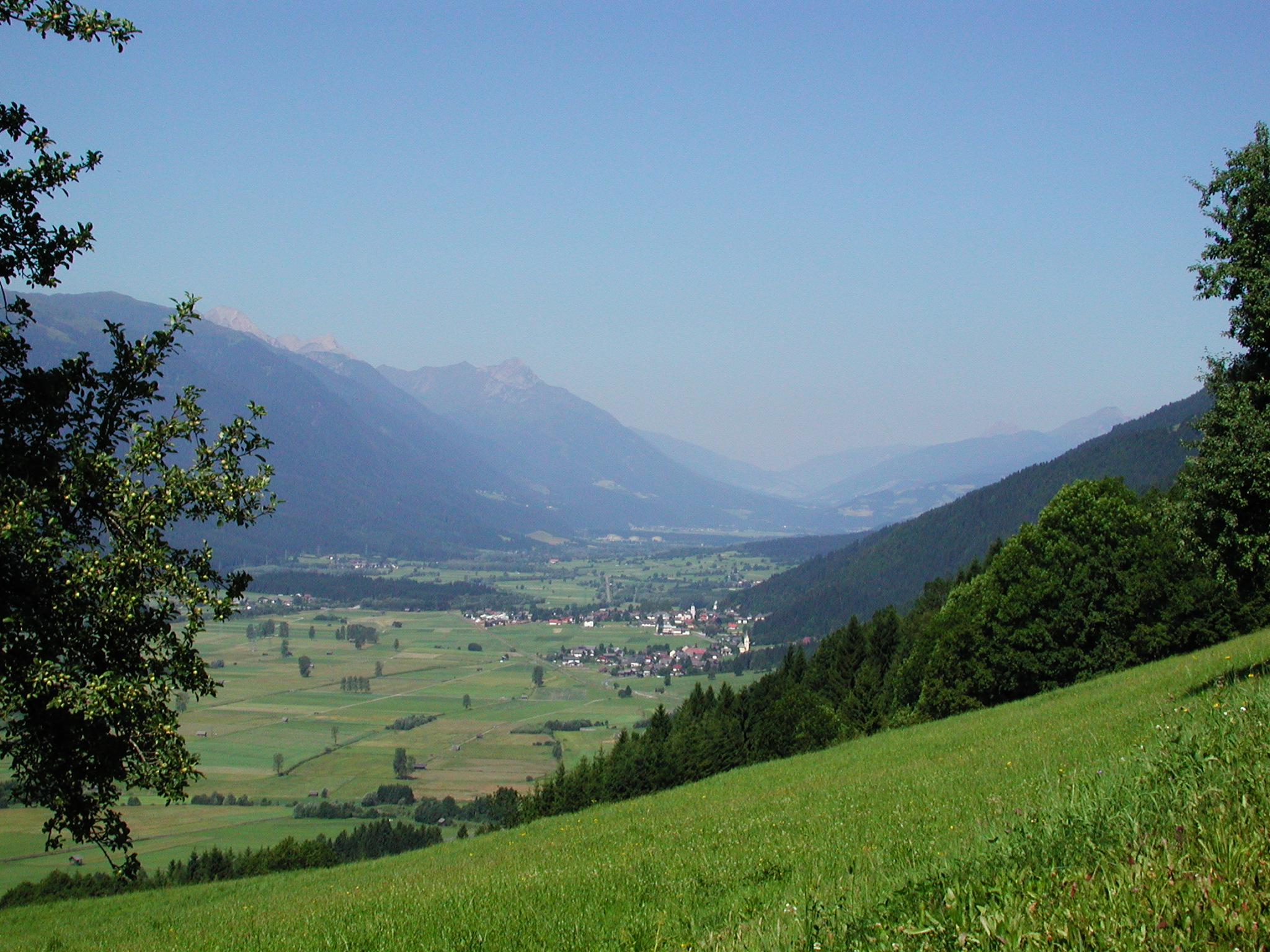
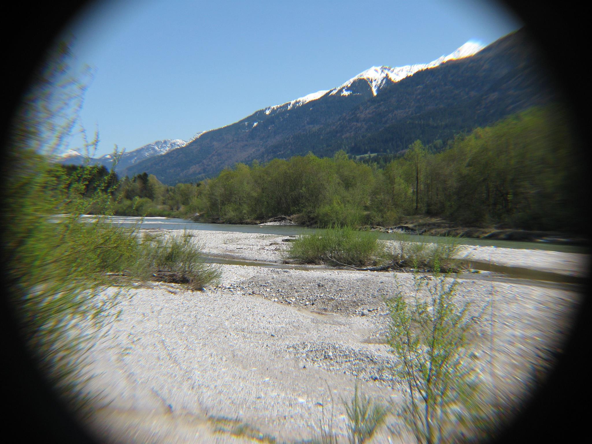
Farm villages strung along the middle Gail between Hermagor and Kötschach, backed by the Gailtal Alps to the north and the Carnic ridge to the south.
- 5Highlights
Highlights
10 from neighbouring places
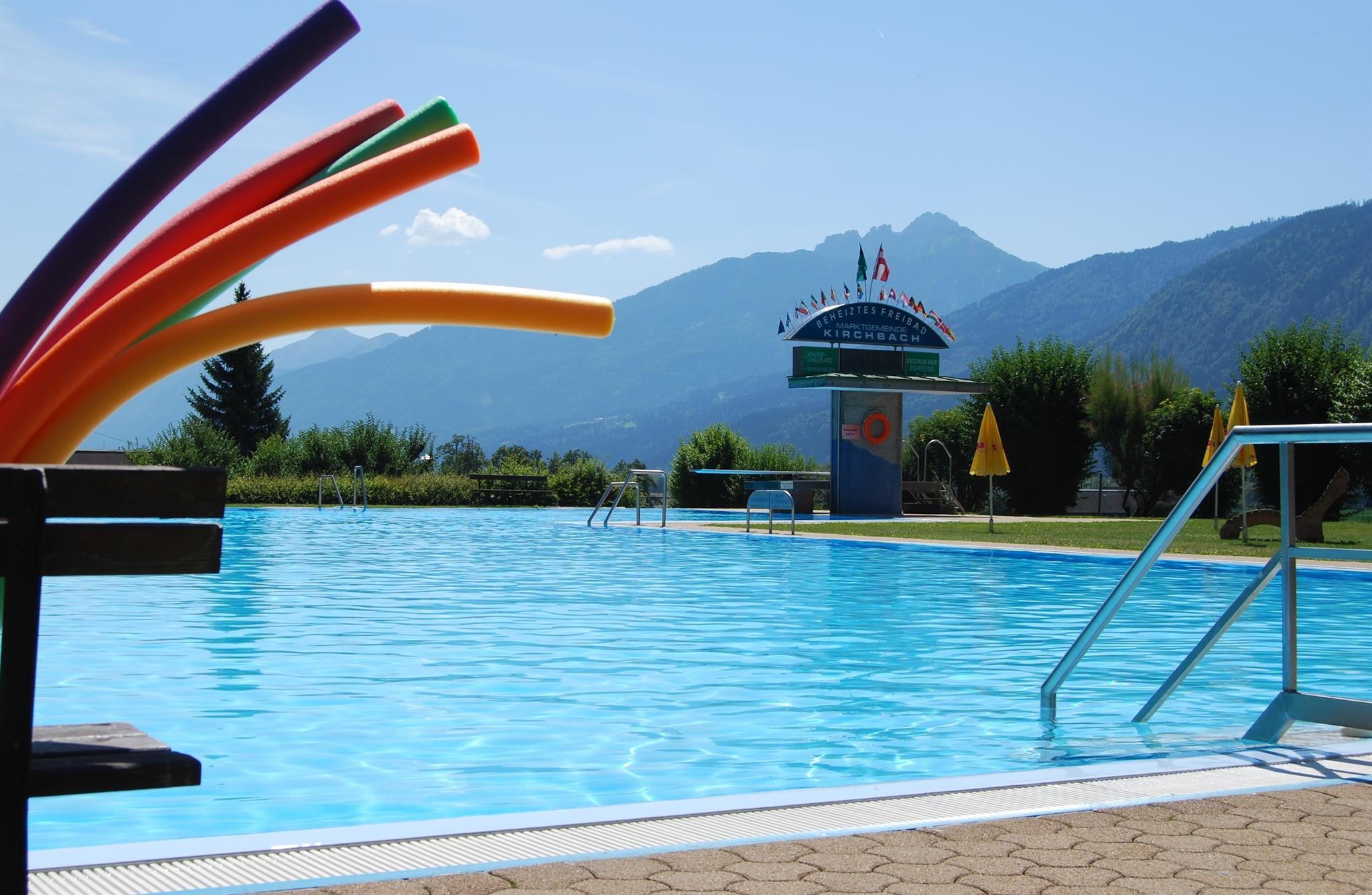
Freibad Kirchbach
A solar-heated open-air pool in Kirchbach, with a beach volleyball court, playground and a large lawn.
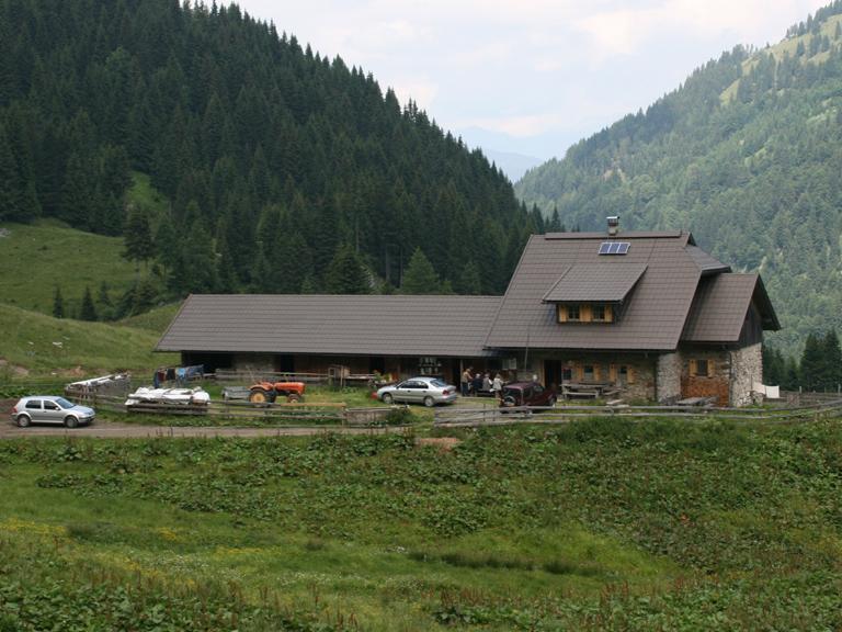
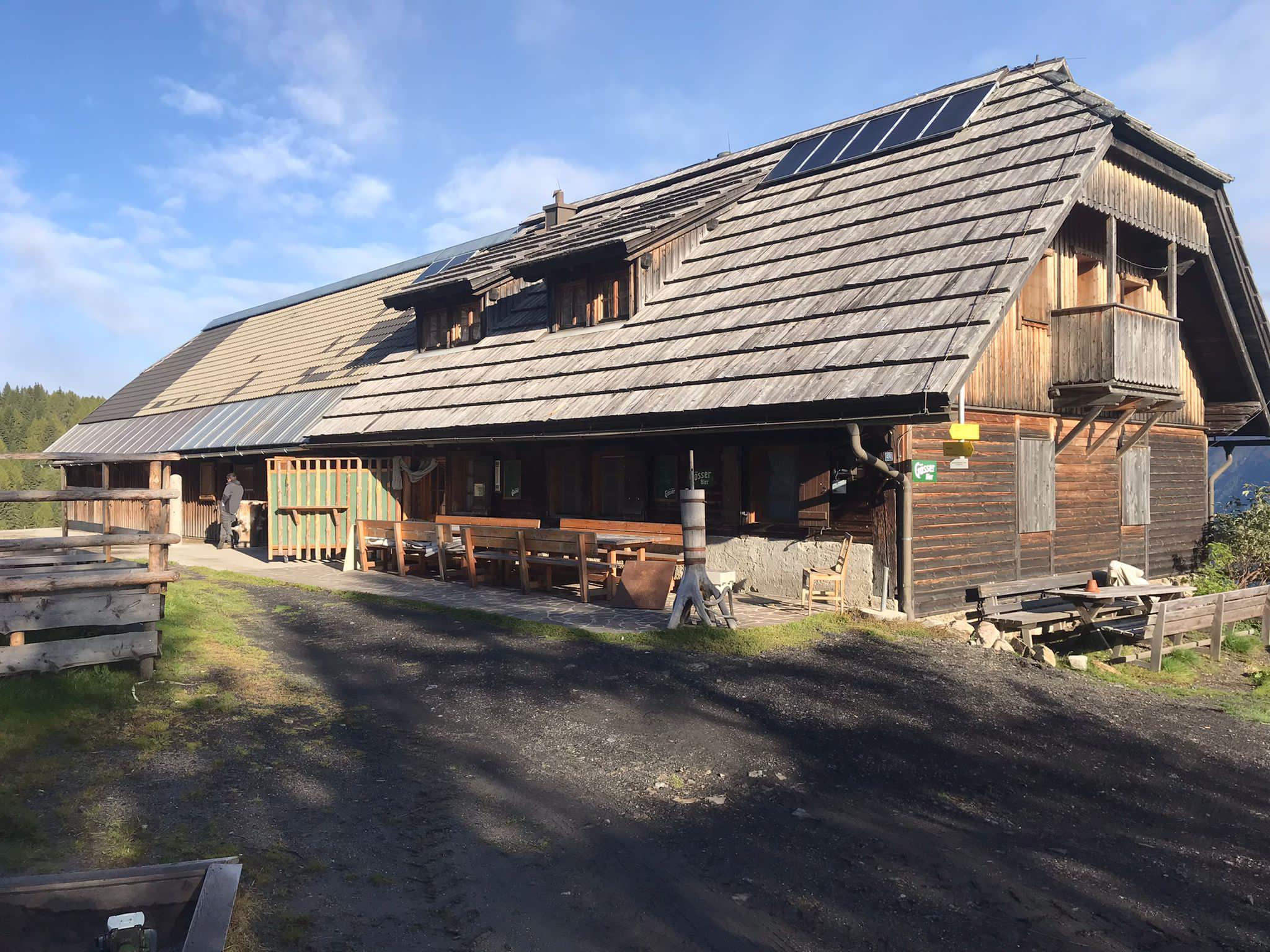
Achornacher Alm
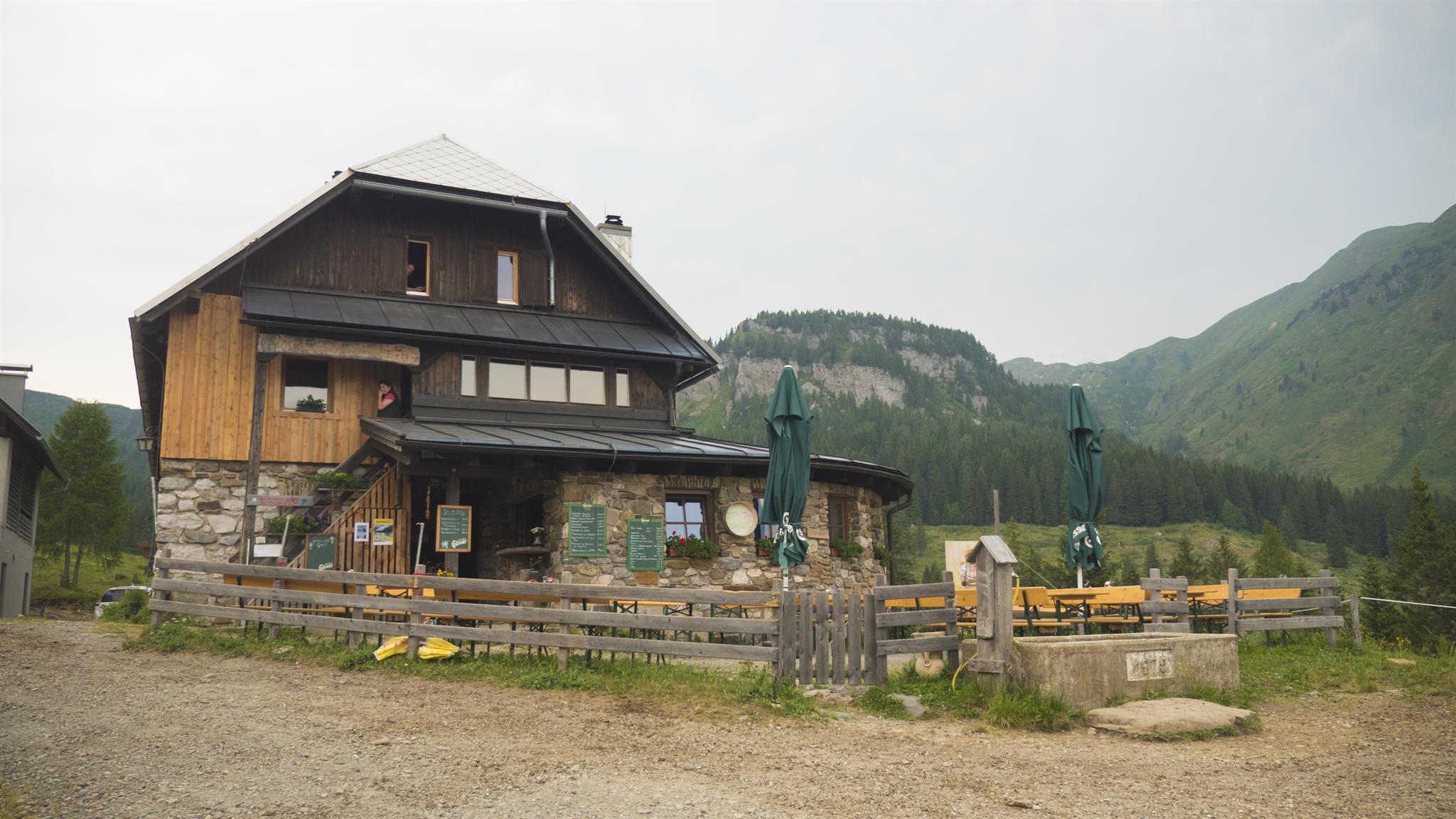
An alm above Kirchbach, reached by gravel road past the Straniger and Waidegger alms, or on a marked path also used by mountain bikers.
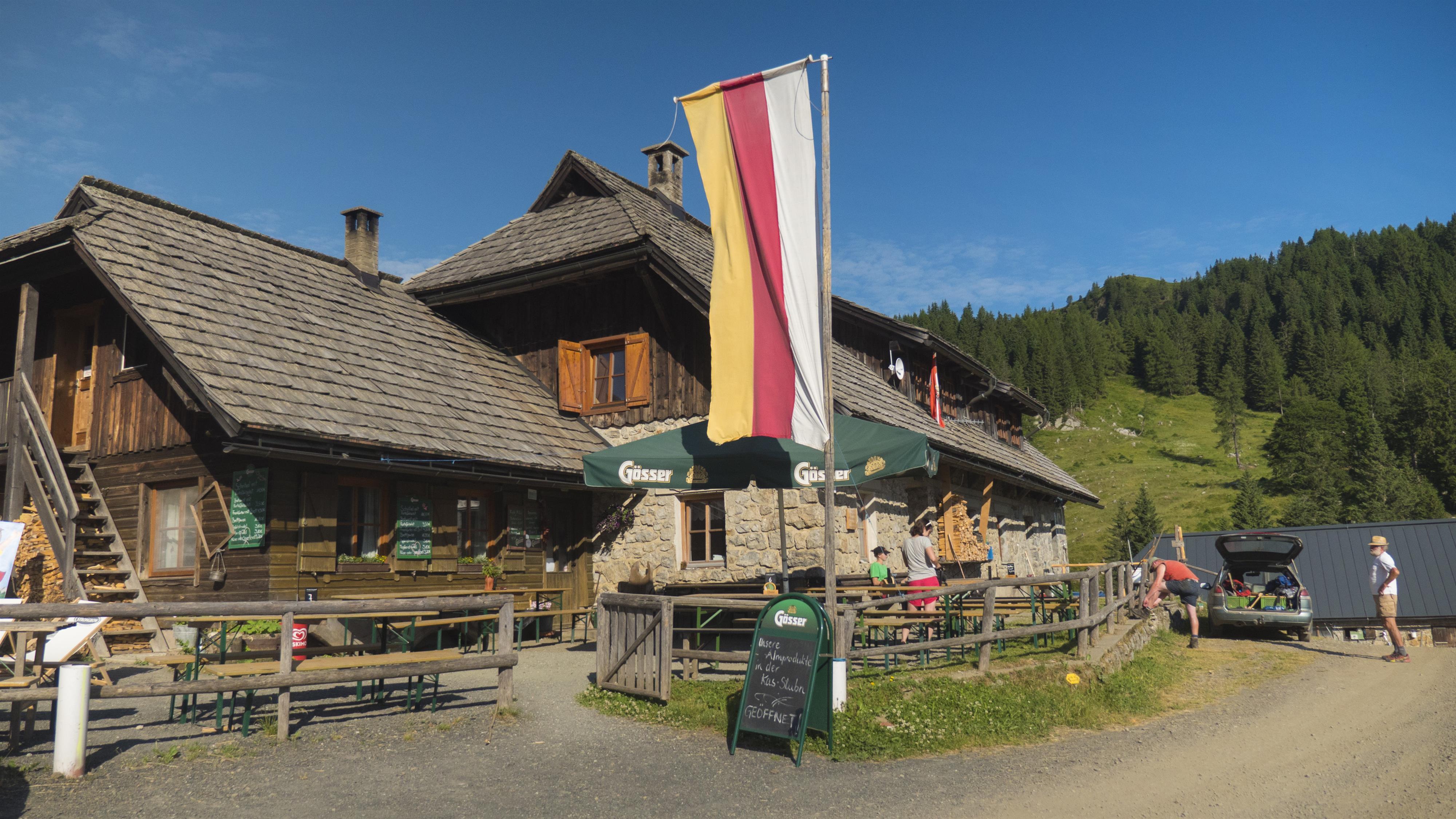
Großfrondell Alm
An alm above Kirchbach and the start of a walk to the Köderkopfhöhe, where First World War positions survive on the old front line.
Straniger Alm
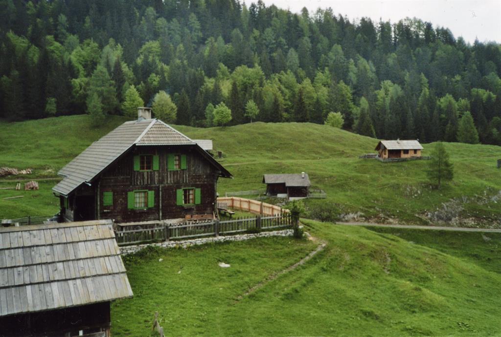
An alm on the Straniger pastures above Kirchbach, near the Carnic ridge.
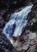
Nölblinger Wasserfall
6.2 km away, in Dellach
A waterfall on the Nölbling stream above Dellach in the Gailtal.
Archäologische Erforschung "Urkirche"
7 km away, in Dellach
An archaeological dig at Dellach investigating an early church on the site.
Rodelbahn Gitschtal
7 km away, in Gitschtal
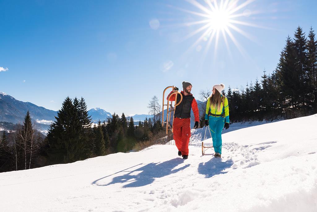
A toboggan run in the Gitschtal, with a shuttle taxi back up to the start.
Rodelbahn Rattendorf
7.4 km away, in Hermagor-Pressegger See
A toboggan run above Rattendorf, one of several natural runs on the Nassfeld side of the Gailtal.
Rodelbahn Kreuth ob Jenig
7.9 km away, in Hermagor-Pressegger See
A toboggan run at Kreuth ob Jenig in the Gailtal.
 Mountain hut
 Historic site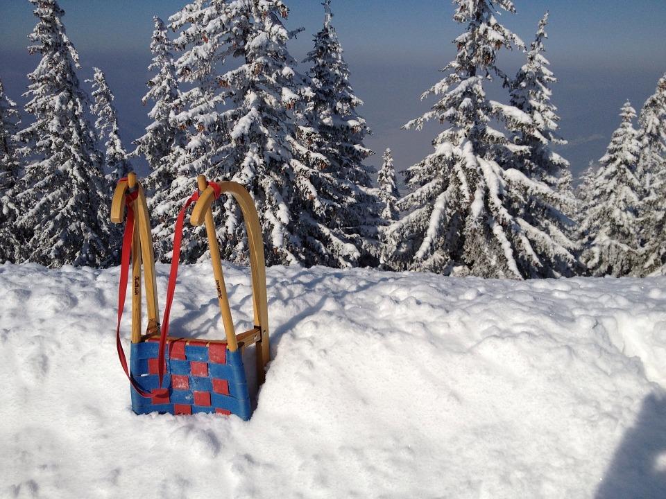
 Cable car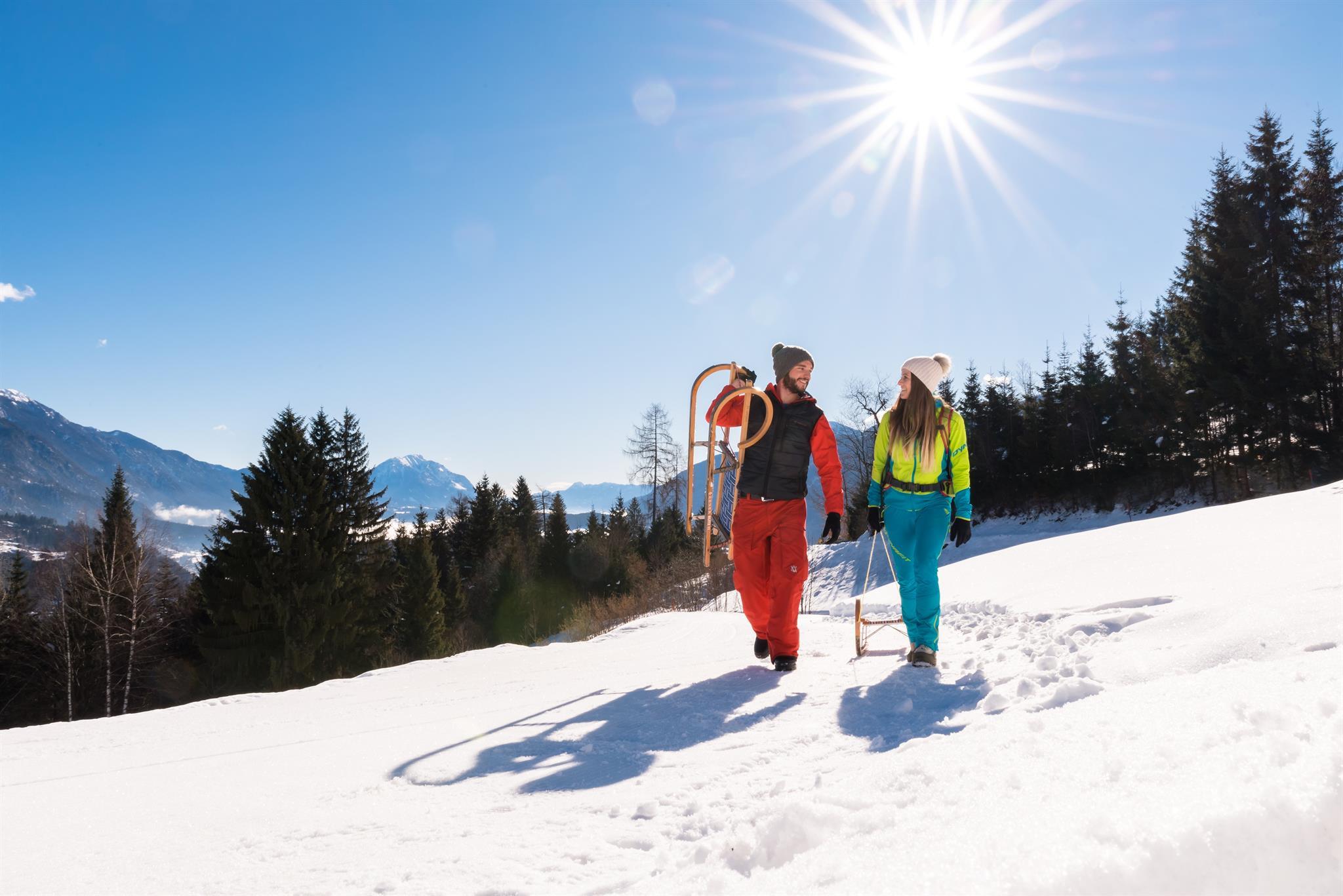
Nothing of this kind in Kirchbach.
Planning a trip to Kirchbach?
Everything else Carinthia has, in one place


Take Kirchbach with you into the mountains
Every route on this page with 3D terrain, GPX navigation and offline maps — including the valleys with no signal.
Data sources
- Official website: nassfeld.at ↗
- Routes and highlights: Nassfeld-Pressegger See Tourismus
- Published as open data by the tourist boards named above.
- Region summary generated from the board's own material.
