
 Historic site
 Viewpoint










Curated by Tourismusverband Pitztal
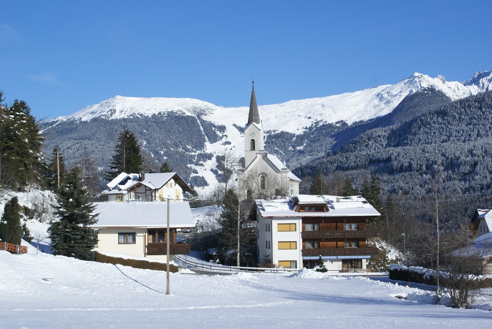
Kaunerberg
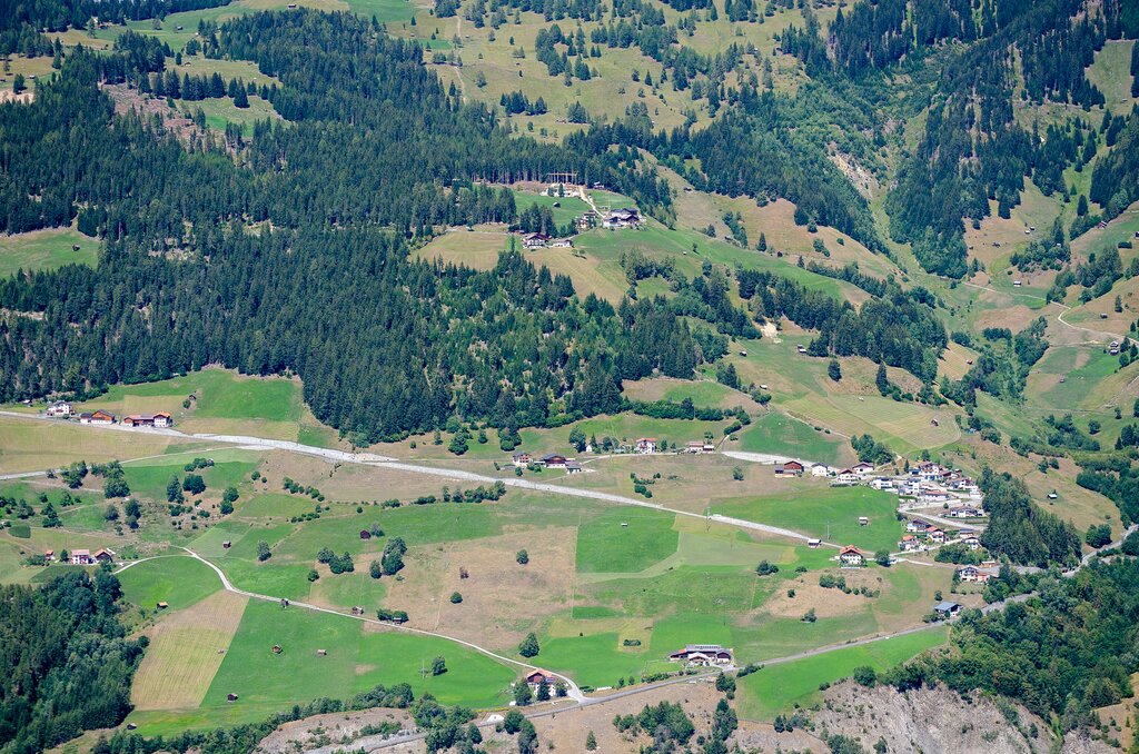
Farm hamlets scattered on the steep sunny slope at about 1300 m above the entrance to the Kauner valley, on the flank of the Kaunergrat nature park.
- 15Highlights
- 4Routes
- Featured summit · Pillerhöhe
Highlights
All 15 from neighbouring places
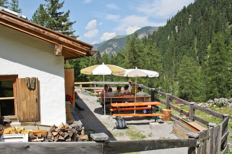
Straßberg Alm (1.730 m)
3.8 km away, in Jerzens
An alpine pasture at 1,730 m on the western slope of the middle Pitztal.
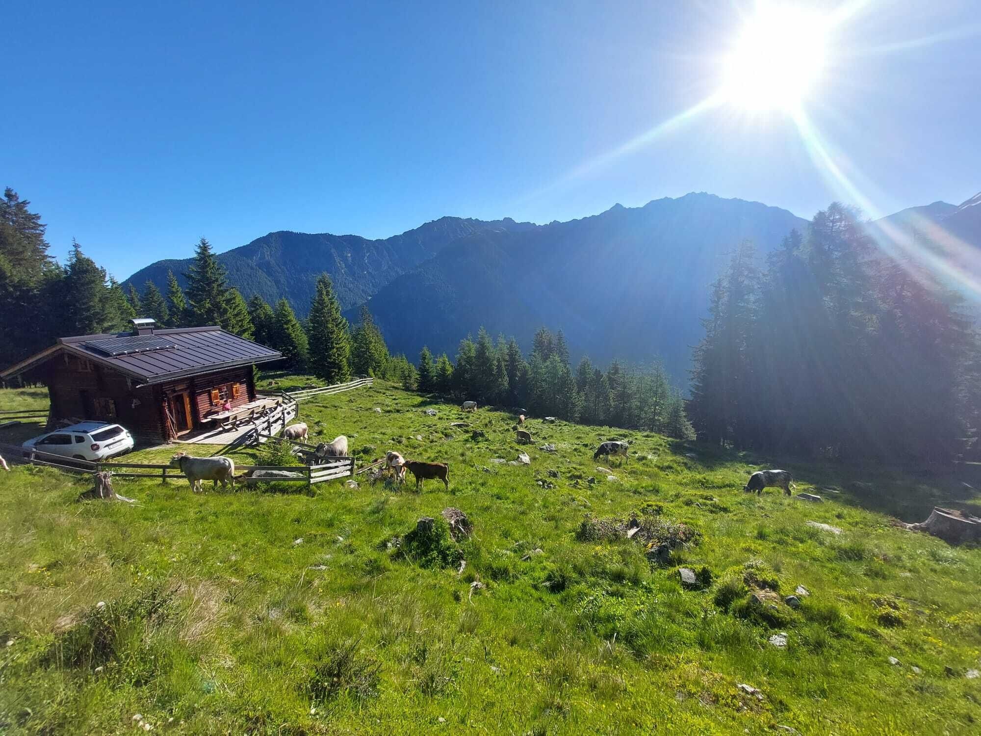
Ritzenrieder Alm (1.790 m)
4.5 km away, in Jerzens
An alpine pasture at 1,790 m above the hamlet of Ritzenried.
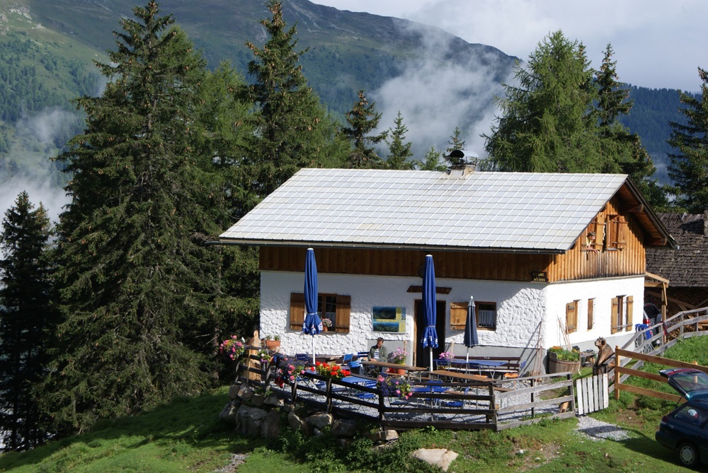
Kielebergalm (1.767 m)
4.7 km away, in Wenns
An alpine pasture at 1,767 m between the Piller saddle and the Pitztal.
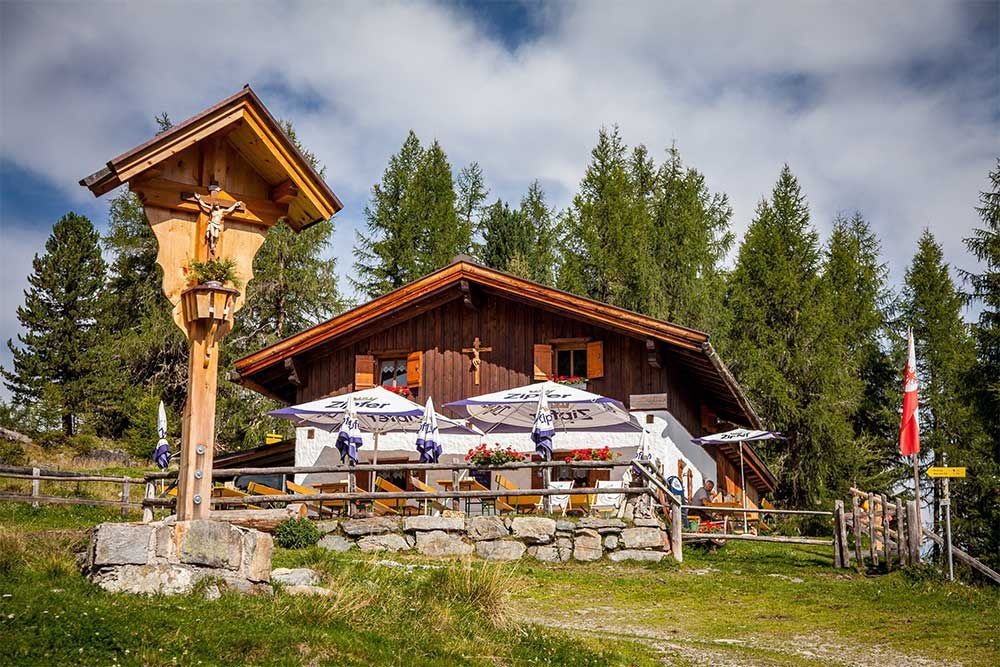
Söllbergalm (1.849 m)
4.8 km away, in St. Leonhard im Pitztal
An alpine pasture at 1,849 m above Ritzenried, on the eastern flank of the valley.
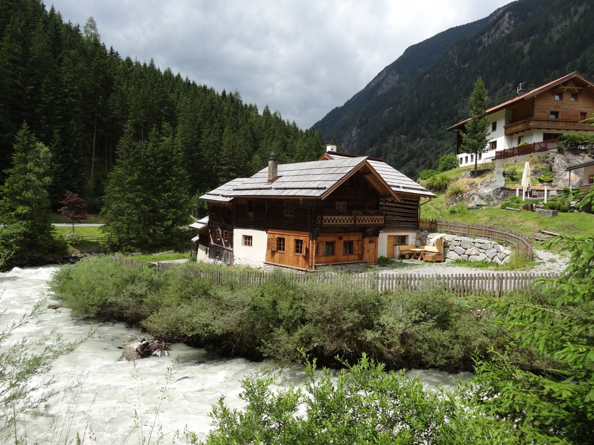
Handwerksmühle Ritzenried
5.4 km away, in St. Leonhard im Pitztal
A working craft mill at Ritzenried, one of several restored water mills on the valley's eastern slope.
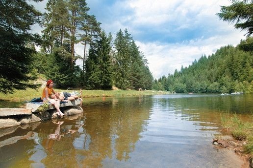
Landschaftsteich Piller
5.5 km away, in Fließ
A small landscaped pond on the Piller saddle, part of the Kaunergrat nature park's visitor area.
Mauchele Alm (1.840 m)
5.6 km away, in St. Leonhard im Pitztal
An alpine pasture at 1,840 m on the eastern slope of the middle Pitztal.
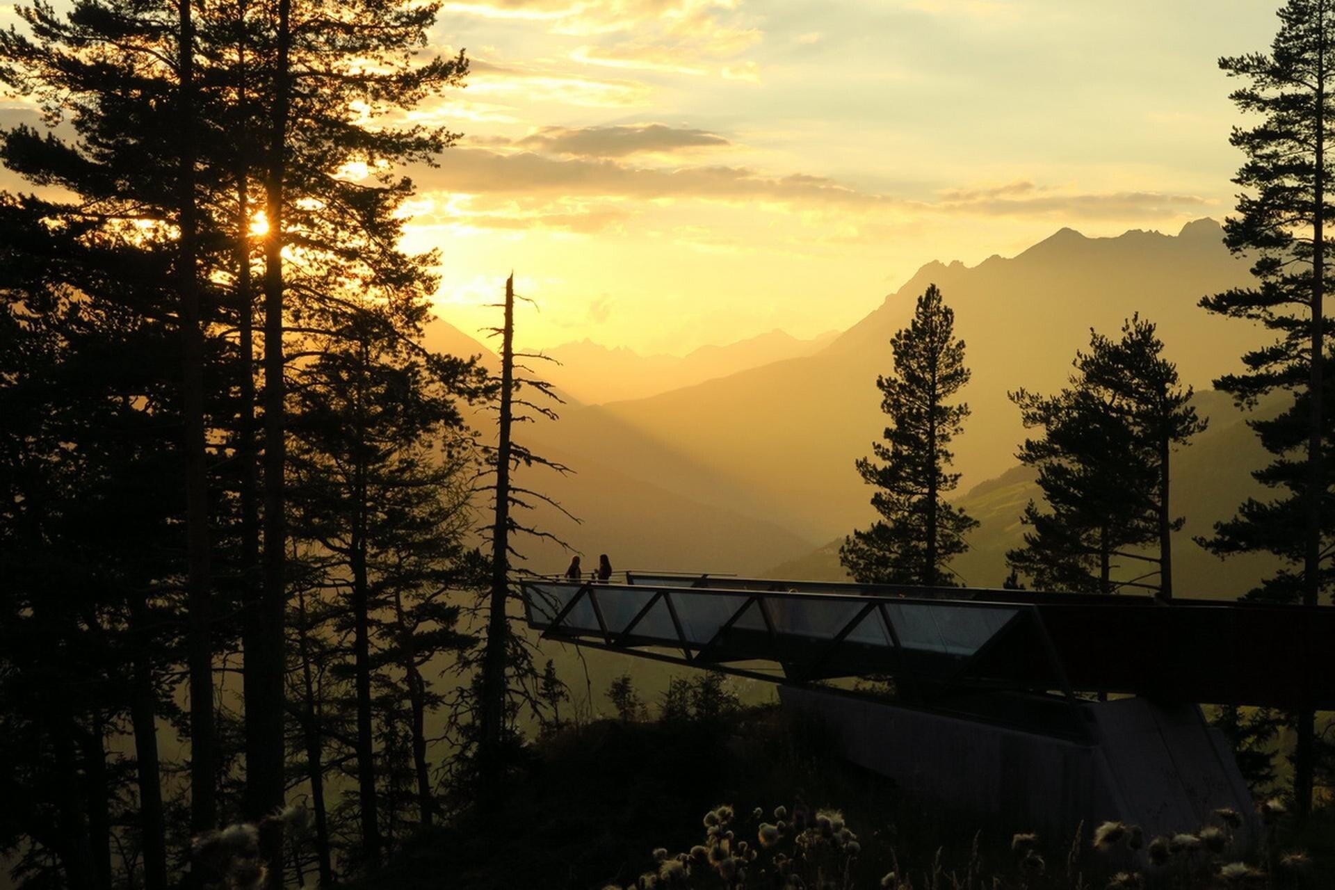
Aussichtsplattform Gacher Blick
5.6 km away, in Fließ
A barrier-free viewing platform on the Piller saddle, projecting over the slope above the Inn valley.
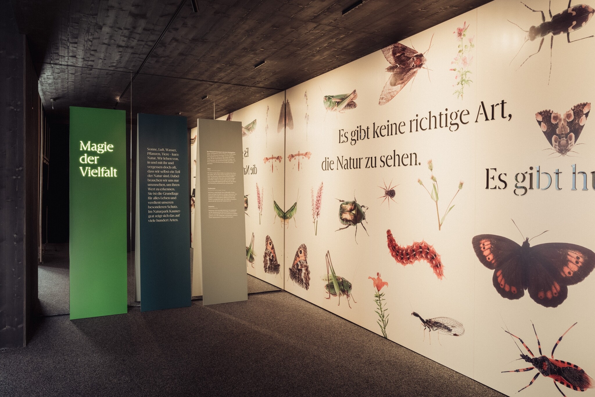
Ausstellung Magie der Vielfalt
5.6 km away, in Fließ
An exhibition at the Piller saddle on the biological diversity of the Kaunergrat nature park.
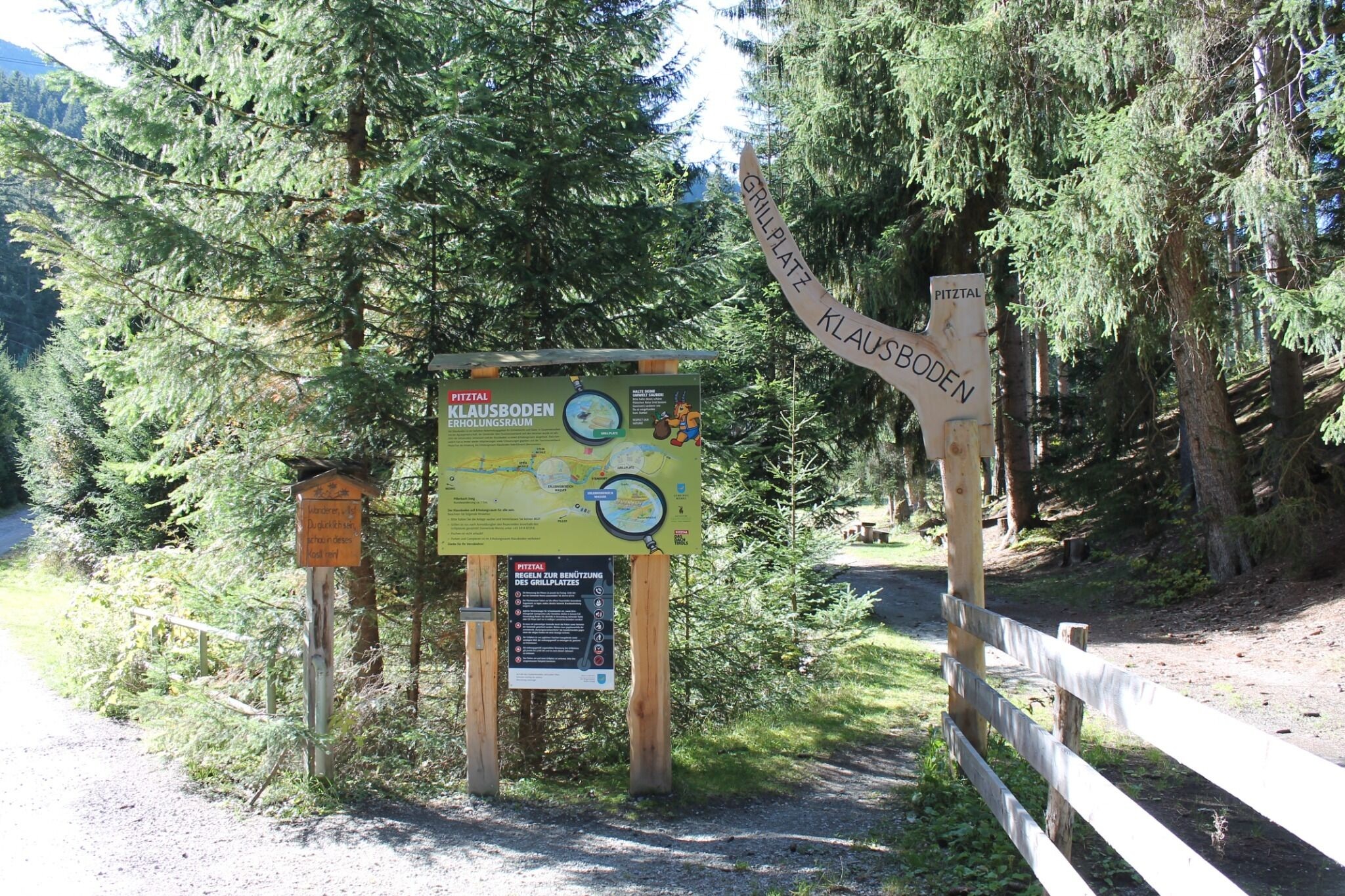
Erholungsraum Klausboden
5.8 km away, in Wenns
A quiet recreation area at Klausboden on the Piller plateau, with benches and short walking loops.
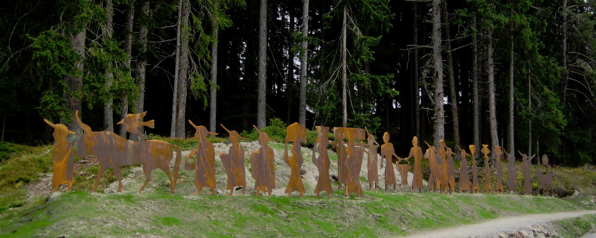
Brandopferplatz Piller Sattel
5.8 km away, in Fließ
A prehistoric burnt-offering site on the Piller saddle, in use from the Bronze Age into the Roman period.
Kaplaneikirche Maria Schnee in Piller
6 km away, in Fließ
The chaplaincy church of Piller, dedicated to Our Lady of the Snows.
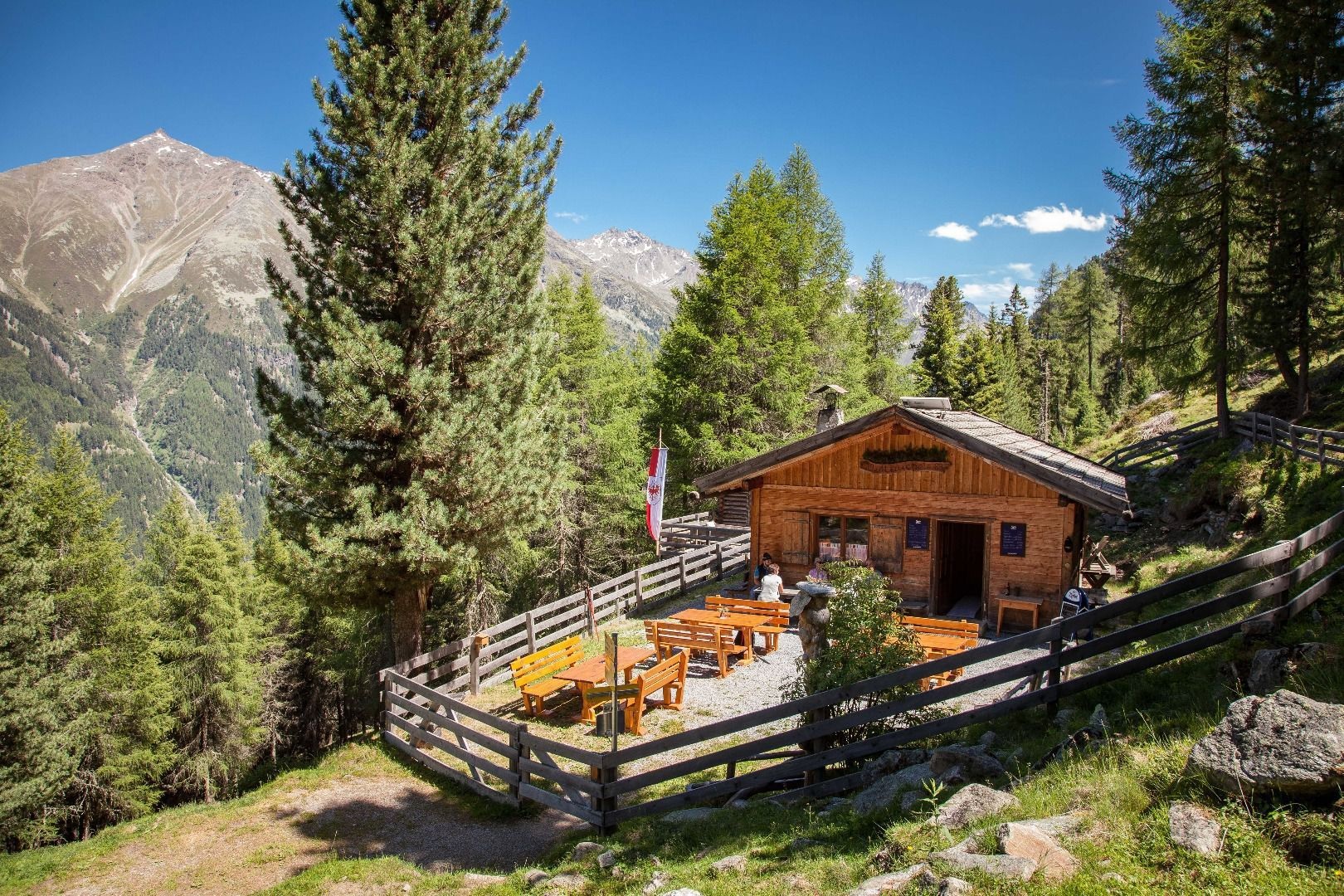
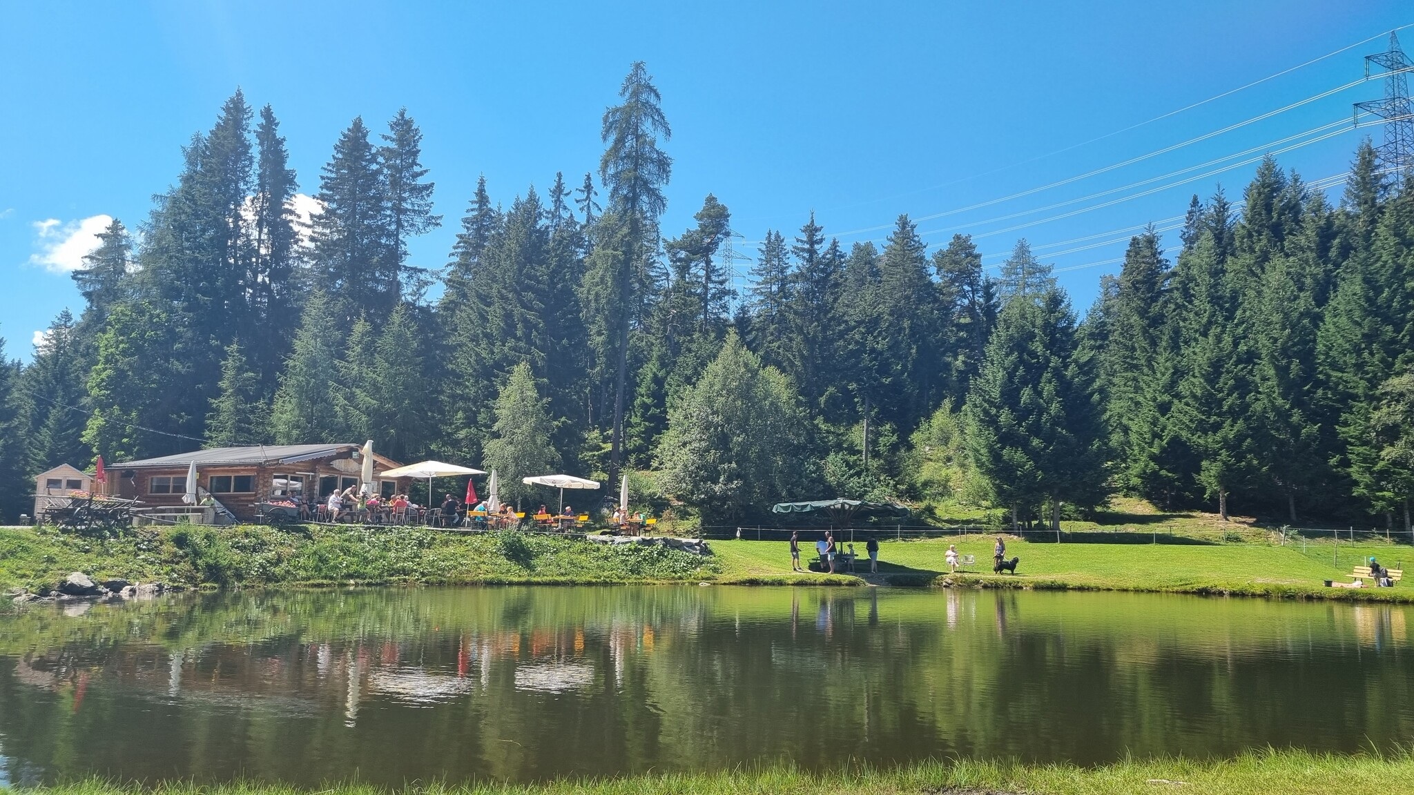
Jausenstation Fischteich Piller (1.400 m)
6.1 km away, in Fließ
A snack station at 1,400 m beside the fishing pond on the Piller saddle.
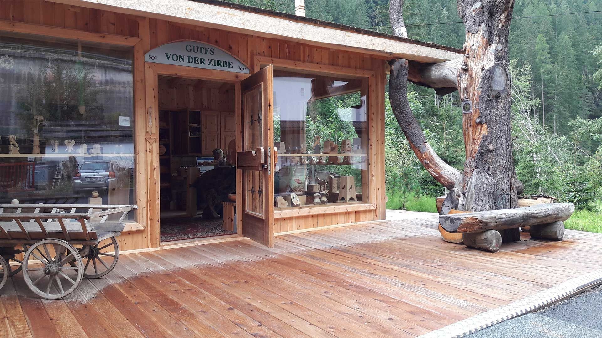
Zirbenölgewinnung
6.4 km away, in Jerzens
A small distillery above Jerzens where oil is pressed from the cones of the stone pine.
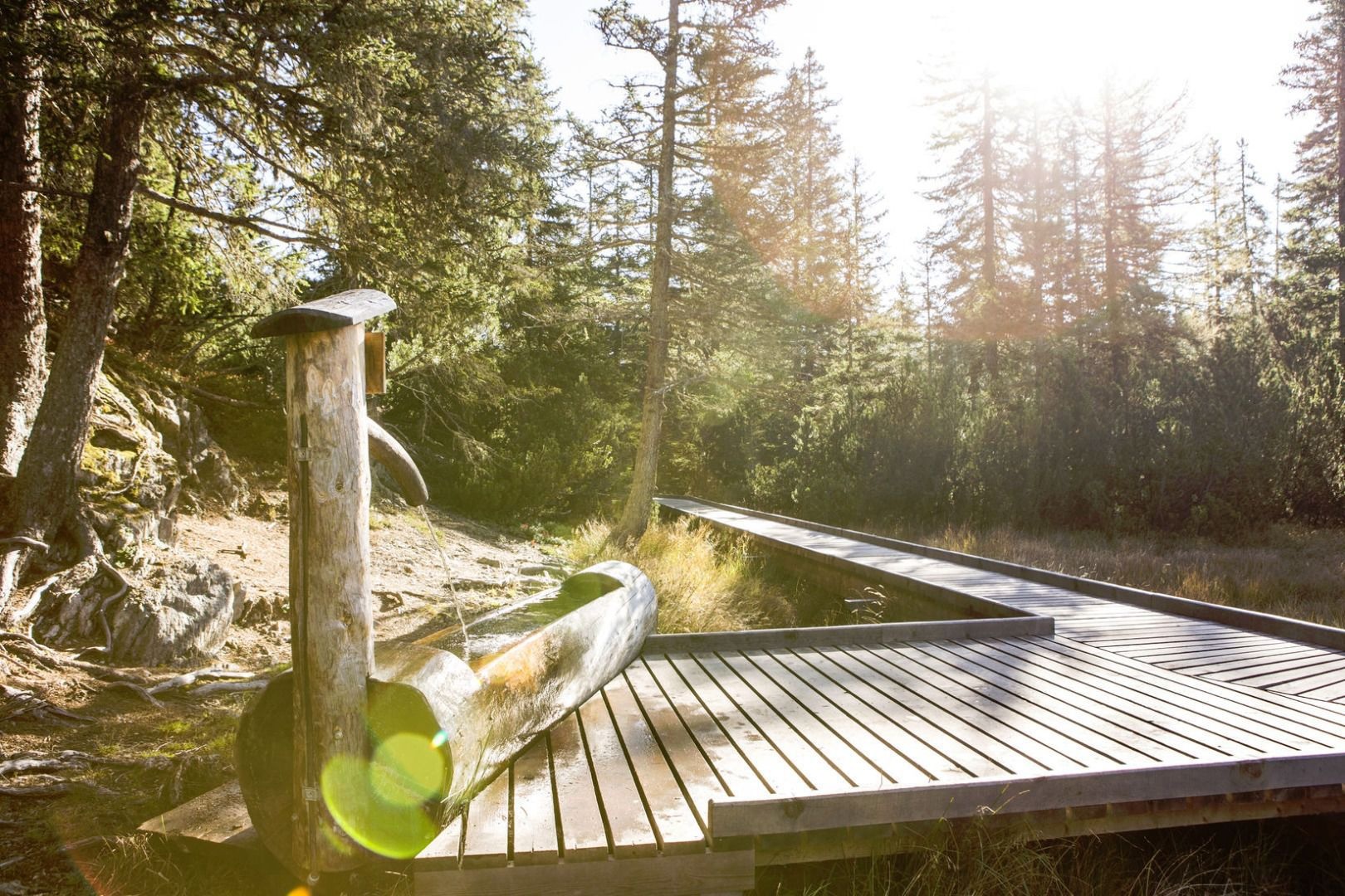
Piller Moor
6.4 km away, in Fließ
A raised bog on the Piller saddle at about 1,500 m, a protected relic of the post-glacial landscape.
Nothing of this kind in Kaunerberg.
Routes
16 from neighbouring places
Wanderung zur Aifner Alm und Aifenspitzen
Long day from the Pillerhöhe to the Aifner Alm and on to the Kleine Aifnerspitze, 17.6 km with 1,240 m of climbing.
- 17.6 km
- Distance
- 1 178 m
- Ascent
- 7 h 56 min
- Duration
- 16
- Check-ins
Variante Naturparkhaus Kaunergrat - Aifner Alm
A variant climb from the nature-park house up to the Aifner Alm at 1,974 m, on forest roads above the Pillerhöhe.
- 7.4 km
- Distance
- 485 m
- Ascent
- 58 min
- Duration
- 13
- Check-ins
Piller Runde
A long road loop over the Pillerhöhe, dropping to Prutz in the Inn valley and climbing again to Fiss, with over 2,000 m of ascent.
- 83.9 km
- Distance
- 2 090 m
- Ascent
- 9 h 25 min
- Duration
- 33
- Check-ins
Rundwanderung Landschaftsteich Piller - Aifner Alm – Kreuzjöchl – Kielebergalm
Demanding 16 km round from the Piller pond by the Aifner Alm over the Kreuzjöchel to the Kielebergalm, with nearly 1,400 m of climbing.
- 16.1 km
- Distance
- 1 316 m
- Ascent
- 8 h 26 min
- Duration
- 7
- Check-ins
Wanderung zur Ritzenrieder Alm
5.5 km away, in Jerzens
An 11.3 km walk up to the Ritzenrieder Alm above Jerzens, with 776 m of climbing.
- 11.3 km
- Distance
- 753 m
- Ascent
- 5 h 5 min
- Duration
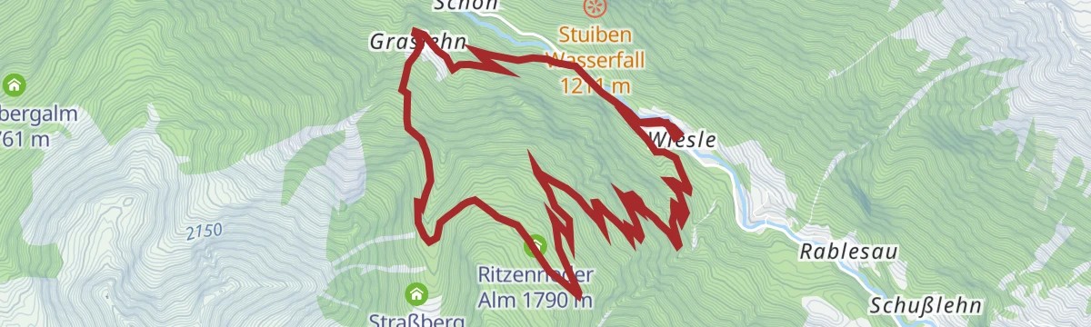
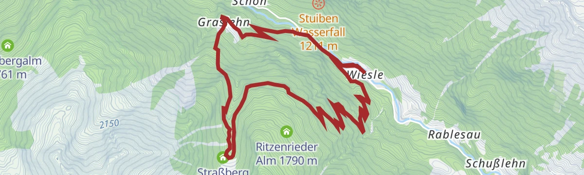
Wanderung von Schön zum Stuibenwasserfall
5.6 km away, in Jerzens
A short 2.3 km approach from Schön to the Stuibenwasserfall, gaining 170 m.
- 2.3 km
- Distance
- 168 m
- Ascent
- 1 h 6 min
- Duration
- 2
- Check-ins
Klettersteig Ladis
5.8 km away, in Prutz
Beginner-friendly via ferrata on the crag beside Ladis, climbing 115 m of secured rock within a short walk of the village and Laudeck castle.
- 667 m
- Distance
- 115 m
- Ascent
- 49 min
- Duration
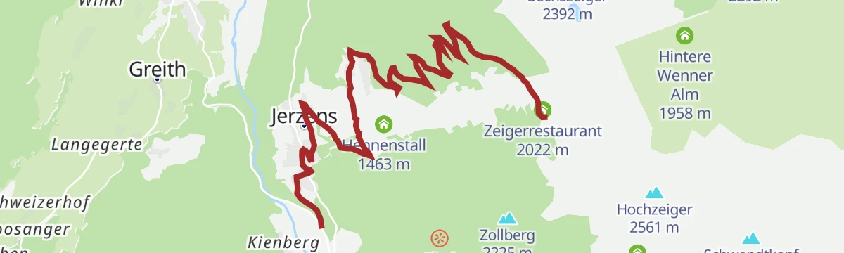
609 | Tanzalm
6.3 km away, in Jerzens
A long forest-road ascent from the Pitztal floor past the Kaitanger reservoir to the Tanzalm and the ski area's summit restaurant.
- 9.6 km
- Distance
- 1 012 m
- Ascent
- 1 h 37 min
- Duration
- 23
- Check-ins
 Tanzalm 1 981 m
- Zeigerrestaurant 2 022 m
 Speicherteich Kaitanger 1 435 m
Skitour zur Goglesalm
6.4 km away, in Fließ
A moderate ski tour to the Gogles Alm on the Venet slopes above Fließ, mostly on forest tracks and open clearings — a manageable half-day objective.
- 5.2 km
- Distance
- 511 m
- Ascent
- 0 m
- Descent
- 1 h 48 min
- Duration
- 11
- Check-ins
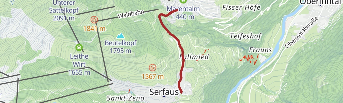
Serfaus-Fiss-Ladis Runde
7.7 km away, in Ladis
A short but steep circuit on the terrace high above the Oberinntal, linking the three villages by way of the pond at Überwasser.
- 14.8 km
- Distance
- 533 m
- Ascent
- 1 h 49 min
- Duration
- 5
- Check-ins
- Geigaloch Apres Ski 1 216 m
- Infobüro Fiss 1 189 m
- Weiher Überwasser 1 276 m
Kletterpark Jerzens-Hochzeiger
7.7 km away, in Jerzens
Secured climbing routes in the Hochzeiger area above Jerzens, set among the huts around the Zeigerrestaurant and Tanzalm; counted from the valley, the full round adds up to a demanding day.
- 12.1 km
- Distance
- 1 380 m
- Ascent
- 9 h 5 min
- Duration
- 42
- Check-ins
Rookie-Parcour – Übungsgelände
8.2 km away, in Jerzens
A short practice loop by the Hochzeiger lifts at Jerzens, laid out for riders learning the basics before heading onto the trails.
- 278 m
- Distance
- 0 m
- Ascent
- 2 min
- Duration
Route 1a - Frommes/Ladis
8.2 km away, in Fiss
Longest branch of the Frommes touring routes, climbing more than 1,250 m from Ladis past the Frommesalp to the Frommeshütte high above the villages.
- 8.2 km
- Distance
- 1 267 m
- Ascent
- 1 267 m
- Descent
- 4 h 19 min
- Duration
- 7
- Check-ins
Einsteiger-Route
8.4 km away, in Jerzens
A first taste of ski touring at the Hochzeiger: a short, gentle skin up to the Zeigerrestaurant — made for testing gear and technique before attempting the longer marked routes.
- 982 m
- Distance
- 121 m
- Ascent
- 0 m
- Descent
- 23 min
- Duration
- 8
- Check-ins
Finesweg - beleuchteter Radweg
9.4 km away, in Fiss
A short lit cycle path on the edge of Fiss, rideable after dark and gentle enough for an evening family spin.
- 2.2 km
- Distance
- 31 m
- Ascent
- 13 min
- Duration
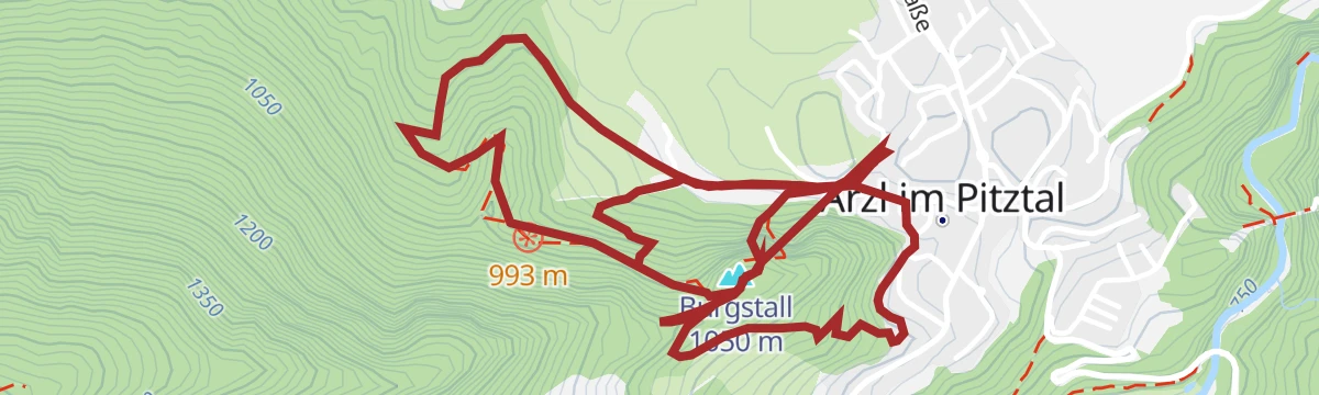
Steinwand - Arzl im Pitztal
13.2 km away, in Arzl im Pitztal
A medium-grade via ferrata on the Steinwand crag above Arzl, with the wooded Burgstall top close by; its low altitude at the mouth of the Pitztal gives it a long season.
- 5.7 km
- Distance
- 402 m
- Ascent
- 3 h 54 min
- Duration
- 2
- Check-ins
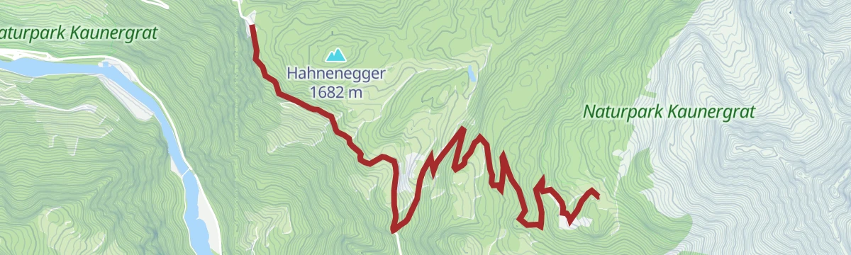
Naturparkhaus Kaunergrat - Gogles Alm 795
5.6 km away, in Fließ
A climb on from the pass to the Gogles Alm at 2,017 m, gaining another 500 m above the viewpoints at the Gachenblick.
- 6.1 km
- Distance
- 511 m
- Ascent
- 55 min
- Duration
- 24
- Check-ins
Talrunde
10.2 km away, in Ried im Oberinntal
A valley circuit in the Oberinntal between Ried and Prutz, passing the campsite at the Dreiländereck and the lake restaurant at 883 m.
- 42.9 km
- Distance
- 750 m
- Ascent
- 4 h 31 min
- Duration
- 6
- Check-ins
Wanderung zum Straßbergsee
5.6 km away, in Jerzens
A long 15.9 km climb of 1,344 m to the Straßbergsee, by way of the Ritzenrieder Alm and the Straßberg Alm.
- 15.9 km
- Distance
- 1 219 m
- Ascent
- 7 h 57 min
- Duration
Wanderung zur Straßbergalm
5.6 km away, in Jerzens
A 10.4 km climb of 820 m to the Straßberg Alm above Jerzens.
- 10.4 km
- Distance
- 782 m
- Ascent
- 5 h 6 min
- Duration
No routes of this kind in Kaunerberg yet.
The region's own picks

Featured route
Wanderung zur Aifner Alm und Aifenspitzen
Long day from the Pillerhöhe to the Aifner Alm and on to the Kleine Aifnerspitze, 17.6 km with 1,240 m of climbing.
Planning a trip to Kaunerberg?
Everything else Tyrol has, in one place


Take Kaunerberg with you into the mountains
Every route on this page with 3D terrain, GPX navigation and offline maps — including the valleys with no signal.
Data sources
- Official website: pitztal.com ↗
- Routes and highlights: Tourismusverband Pitztal, Serfaus-Fiss-Ladis
- Published as open data by the tourist boards named above.
- Region summary generated from the board's own material.
