
 Historic site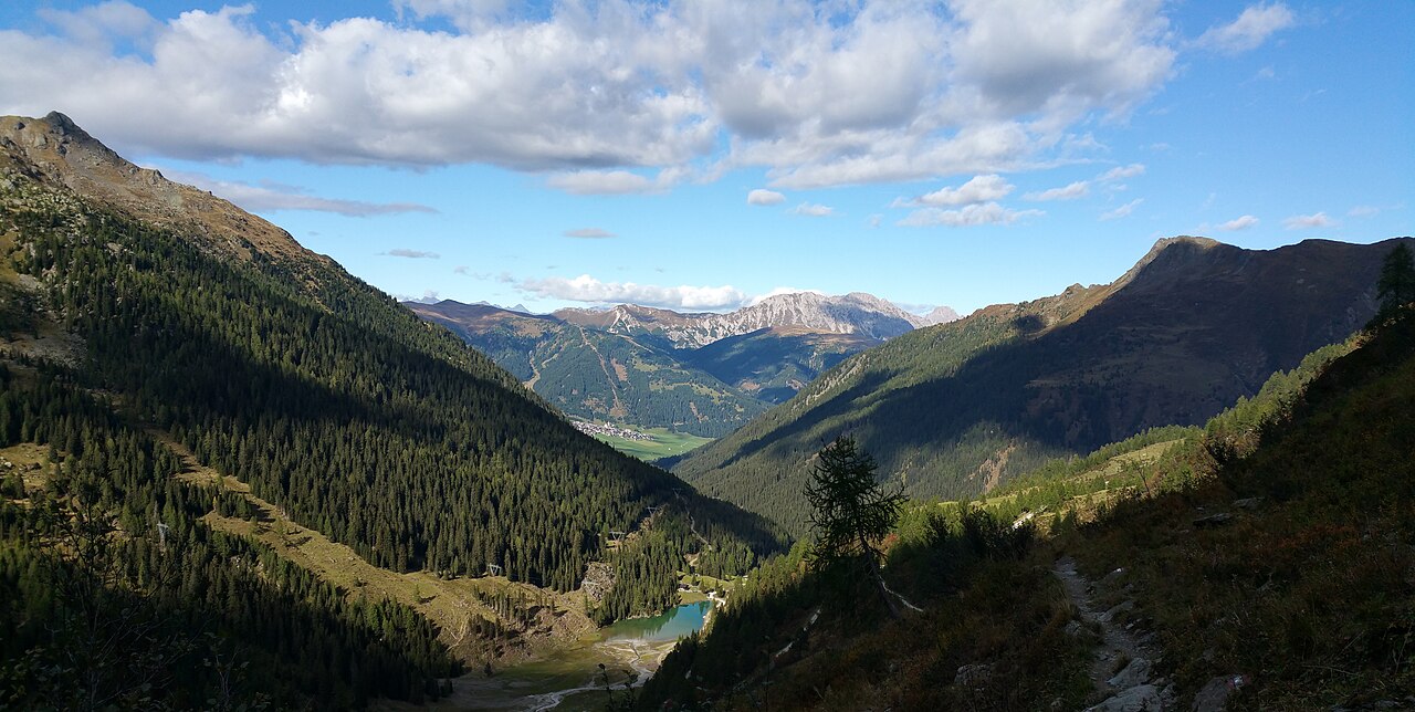
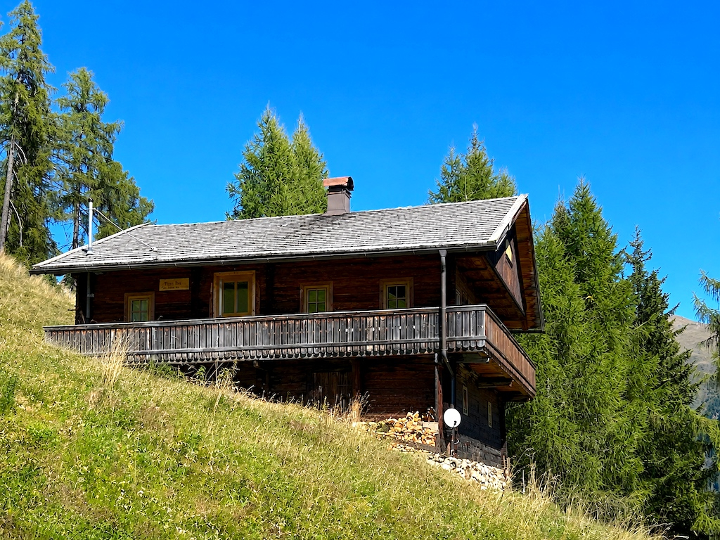
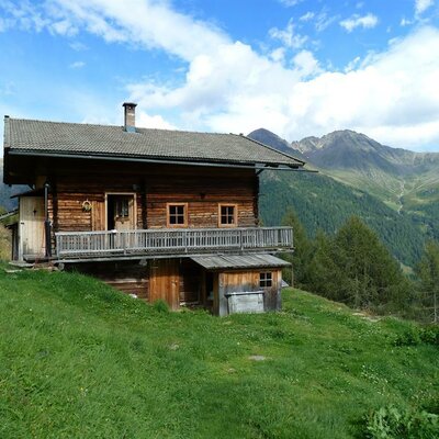
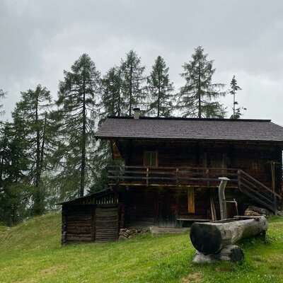
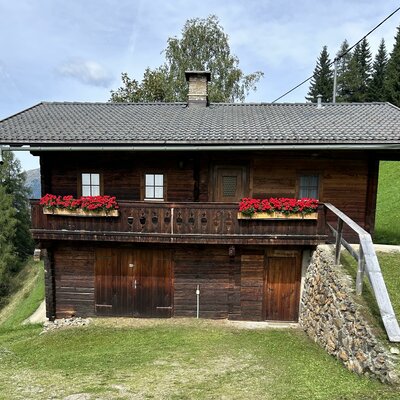
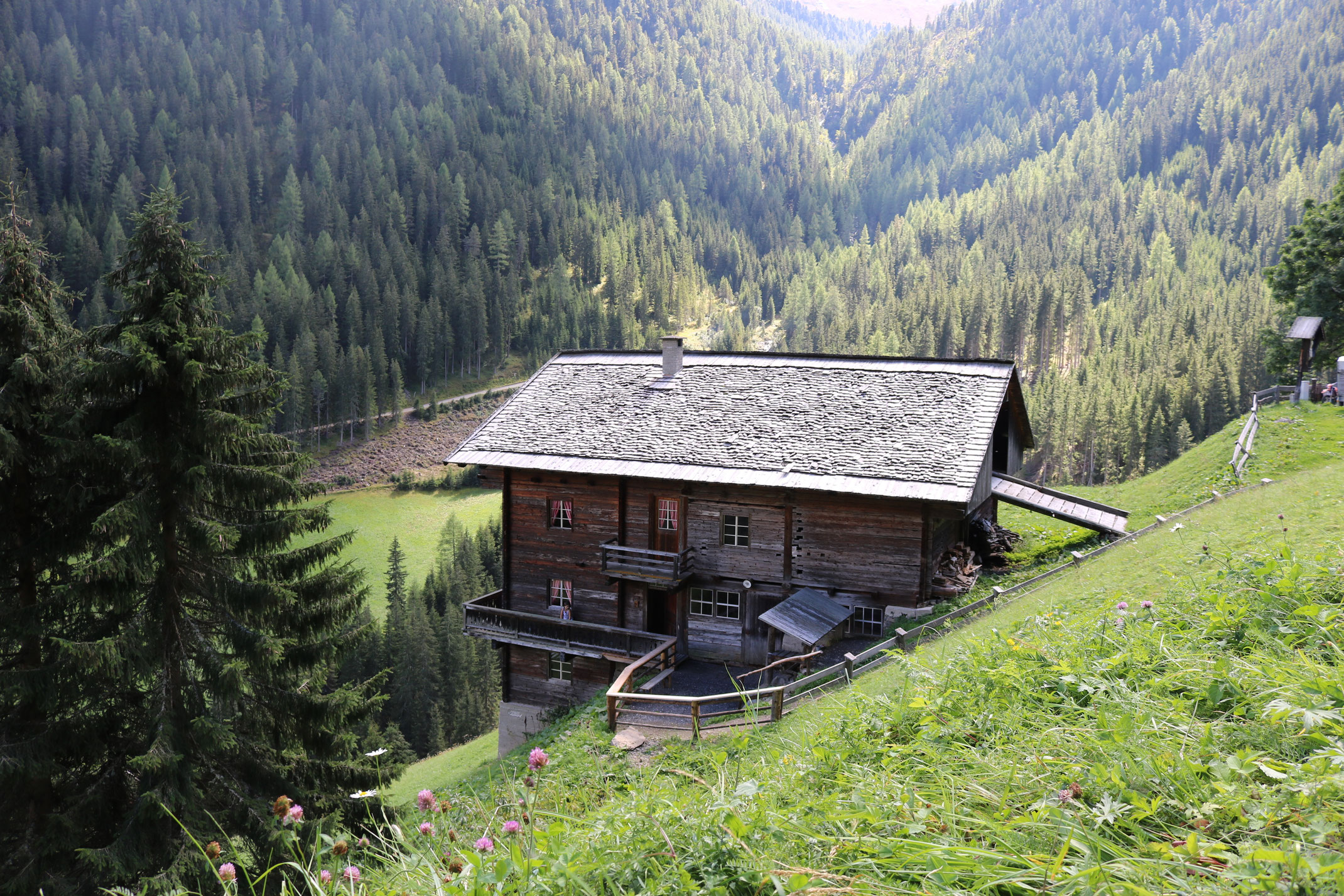
 Mountain hut
 Cable car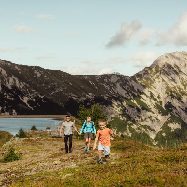












Curated by Osttirol Tourismus
Kartitsch
A sunny high-valley village at about 1350 m where the Tyrolean Gail valley begins at the Kartitscher Sattel, with the Obstans waterfall and winter icefall in the Karnische Alpen above.
- 13Highlights
- 25Routes
- Featured summit · Monte Cavallino
Highlights
All 13 from neighbouring places
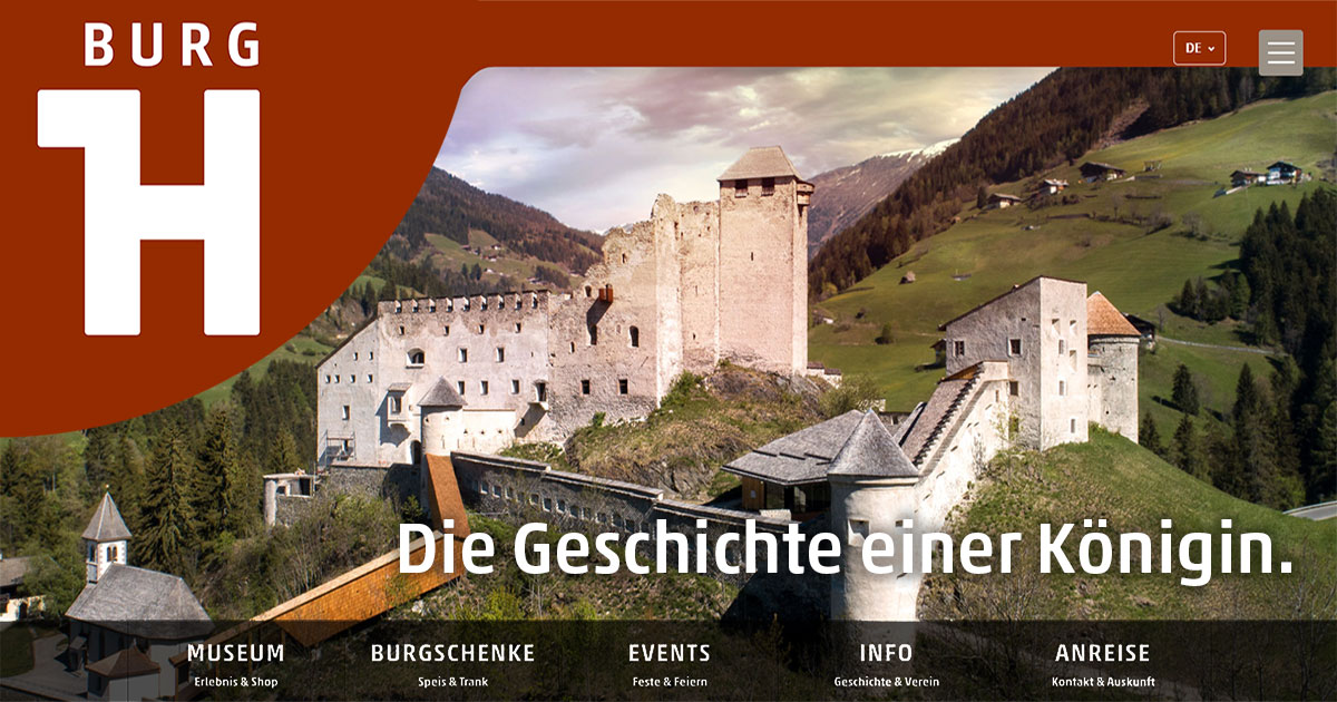
Burg Heinfels
6.9 km away, in Heinfels
A medieval castle above the Pustertal at Heinfels, reopened after restoration with exhibitions on the fortress and the region's history.
Klapfsee
7.6 km away, in Obertilliach
A small mountain lake at Obertilliach in Osttirol, a quiet destination reached by easy walks from the village.
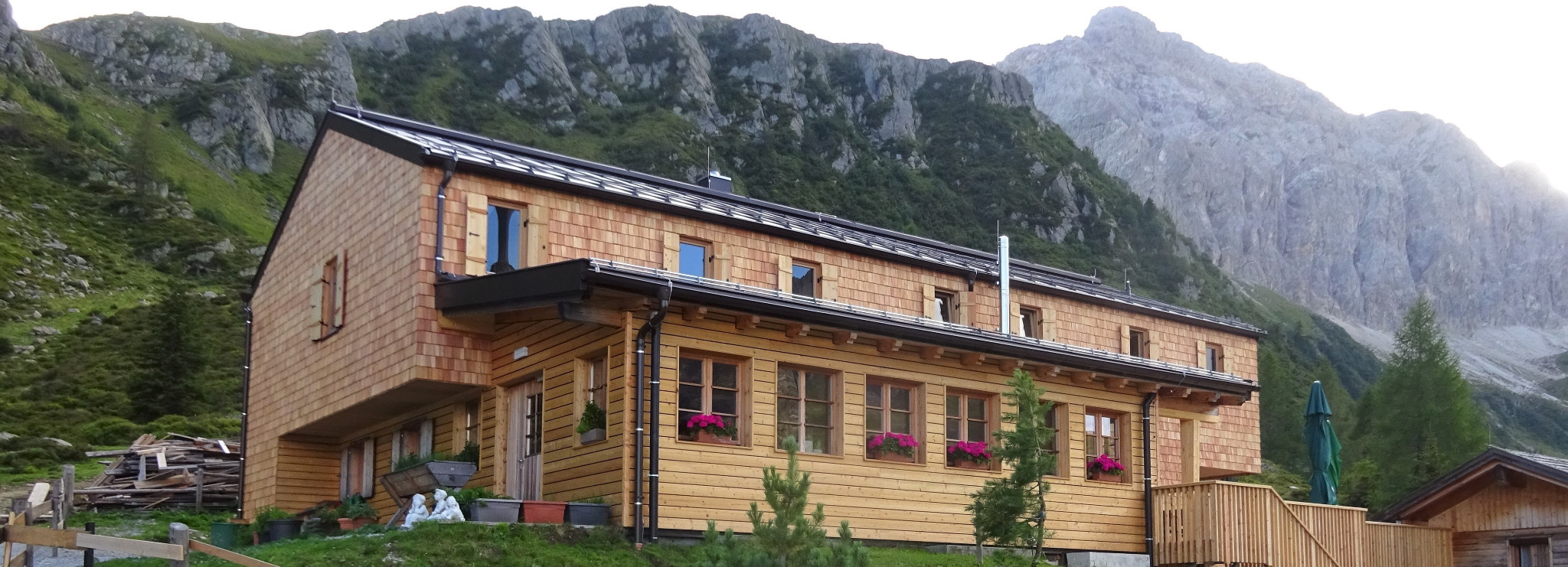
Porzehütte 1.942 m
8 km away, in Obertilliach
An alpine club hut at 1,942 m south of Obertilliach in the Carnic Alps, a stage on the Carnic high-level trail along the Italian border.
Riedlkaser
8.3 km away, in Sillian
A small alm dairy hut, or Kaser, belonging to the Riedlhof above Sillian in the Hochpustertal.
Anraser Pfleghaus
8.5 km away, in Anras
A former court and administrative house of the bishops of Brixen at Anras, now a museum on the history of the Pustertal village.
Obertilliacher Bergbahnen
9 km away, in Obertilliach
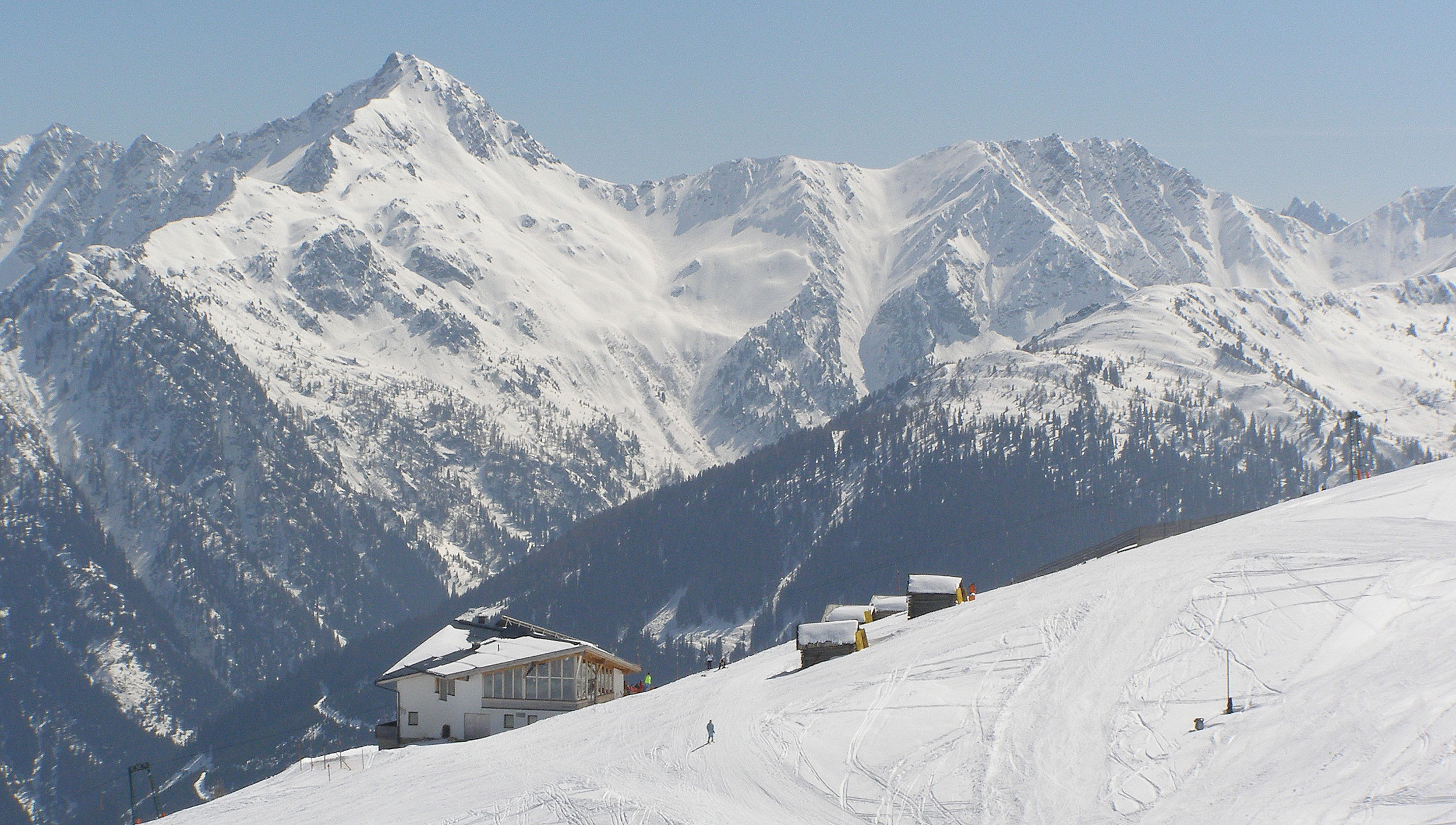
The village lifts of Obertilliach at 1,459 m, rising to the Golzentipp ski and family walking area above the Tiroler Gailtal.
Kindermeile im Familienwandergebiet Golzentipp
9.6 km away, in Obertilliach
A children's trail in the Golzentipp family walking area above Obertilliach, with play stations strung along an easy lift-served route.
Rehblickhütte
10.4 km away, in Außervillgraten
A hut above Außervillgraten whose name means deer view, a quiet base in the Villgraten mountains.
Außermitterwurzen
11 km away, in Außervillgraten
A remote alm hut above Außervillgraten, its name placing it among the Wurzen pasture holdings of the Villgraten mountains.
Lehenalm
11.9 km away, in Außervillgraten
An alm hut in the pastures above Außervillgraten, a plain summer building of the Villgraten mountains.
Lanzer Obheimat
12.7 km away, in Außervillgraten
A mountain hut above Außervillgraten whose name points to a farm's upper summer holding in the Villgraten mountains.
Die Brandalm
13.9 km away, in Außervillgraten
An alm hut above Außervillgraten in the Villgraten valley, run through the summer season as a stop for walkers.
Oberhoferalm Steidl
14.1 km away, in Innervillgraten
A family-run alm hut above Innervillgraten, part of the Villgraten valley's living tradition of high-pasture farming.
Nothing of this kind in Kartitsch.
Routes
Filmoor Klettersteig
Via ferrata by the Filmoor-Standschützenhütte on the Carnic main ridge, about 2.5 hours up from the Leitertal, crossing terrain shaped by the 1915-18 mountain front.
- 13.3 km
- Distance
- 180 m
- Ascent
- 5 h 19 min
- Duration
- 15
- Check-ins
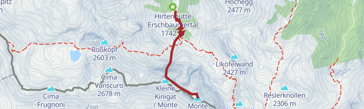
Klettersteig Gr. Kinigat
A mid-grade ferrata onto the Große Kinigat above Kartitsch, reached through the Erschbaumertal; a descent variant passes old wartime positions near the Kleiner Kinigat.
- 2.5 km
- Distance
- 450 m
- Ascent
- 3 h 9 min
- Duration
- 11
- Check-ins
E-Bike & Klettersteig Spitzenstein
An e-bike-plus-ferrata combination above the Gailtal: ride the Bergwiesentrail over the Dorfberg, leave the bike at the junction off the Gailtaler Höhenweg and reach the secured climb in about half an hour on foot.
- 58.7 km
- Distance
- 350 m
- Ascent
- 22 h 10 min
- Duration
- 2
- Check-ins
Wanderung zur Filmoor-Standschützenhütte über das Schöntal
From the Kartitscher Sattel through the Schöntal to the Filmoor-Standschützenhütte on the Carnic main ridge, passing the Weitenstall and a herders' hut.
- 14.4 km
- Distance
- 896 m
- Ascent
- 6 h 9 min
- Duration
- 5
- Check-ins
Große Kinigat 2.689 m
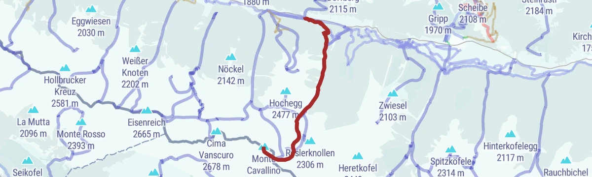
Summit climb from Rauchenbach to the 2,689 m Monte Cavallino on the Italian border, via the Filmoorsattel and Königswandscharte, returning through the Erschbaumertal.
- 17.1 km
- Distance
- 1 310 m
- Ascent
- 8 h 32 min
- Duration
- 19
- Check-ins
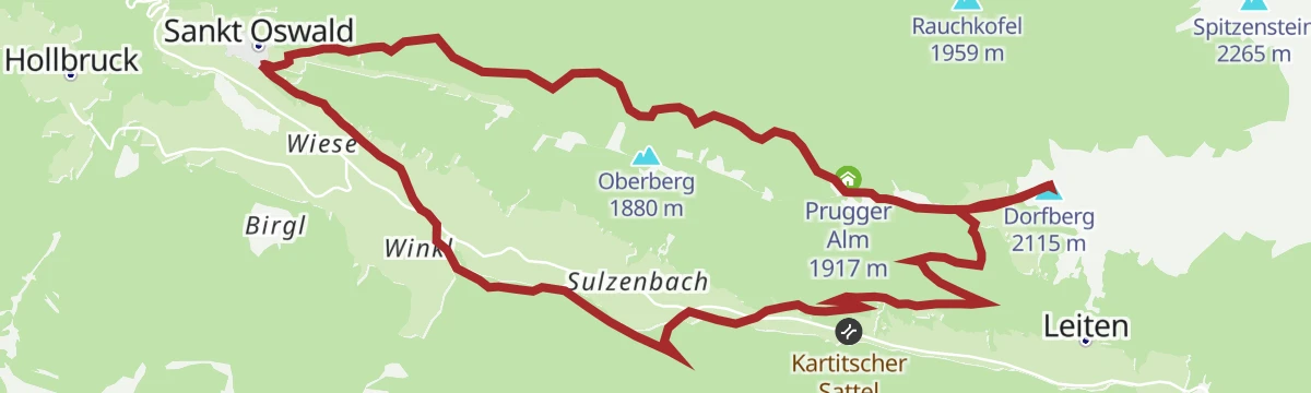
Skitour von St. Oswald auf den Dorfberg
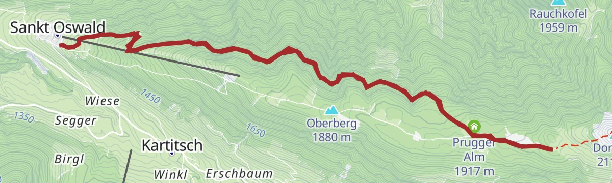
From the church hamlet of St. Oswald this ski tour skins over the Oberberg to a sunny summit above Kartitsch, passing the Dorfberghüttl on the way.
- 6.6 km
- Distance
- 749 m
- Ascent
- 749 m
- Descent
- 2 h 46 min
- Duration
- 5
- Check-ins
Skitour Dorfberg zum Golzentipp
High winter traverse linking the Dorfberg with Obertilliach's local peak, riding the panoramic ridge past the Pfannegg and the Jochsee — a long day with repeated climbs.
- 14.1 km
- Distance
- 1 013 m
- Ascent
- 1 013 m
- Descent
- 4 h 46 min
- Duration
- 41
- Check-ins
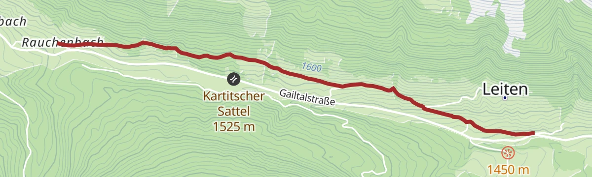
162 | Rauchenbach - Leiten
A very short, easy link on forest track from the Rauchenbach up to the scattered farms on the slope above Kartitsch.
- 3.4 km
- Distance
- 97 m
- Ascent
- 24 min
- Duration
160 | Kartitscher Sattel - Dorfberg
A short forest-road climb from the saddle at Kartitsch up onto the slopes of the Dorfberg, 431 m of ascent in under 6 km.
- 5.8 km
- Distance
- 431 m
- Ascent
- 1 h 4 min
- Duration
Dolomitenradrundfahrt
A long road circuit from the Drau valley over the Gailbergsattel and the Kartitscher Sattel, returning through the Lesachtal and Kötschach-Mauthen.
- 109.7 km
- Distance
- 2 481 m
- Ascent
- 12 h 5 min
- Duration
- 12
- Check-ins
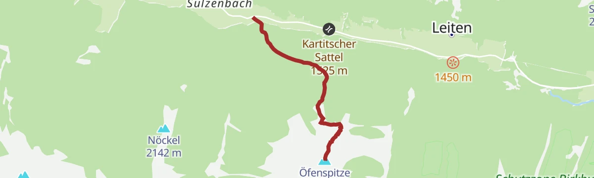
Öfenspitze 2.334 m
Direct and steep: from the Rauchenbach car park this path gains almost 800 m in barely 3 km to a 2,334 m summit overlooking the Kartitsch valley.
- 3.3 km
- Distance
- 796 m
- Ascent
- 4 h 21 min
- Duration
- 4
- Check-ins
Obstansersee Hütte - Pfannspitze
From the Kartitsch sports centre up to the Obstansersee-Hütte beside its lake, then on to the 2,678 m Cima Vanscuro on the border ridge — a full Carnic day.
- 14.3 km
- Distance
- 1 259 m
- Ascent
- 7 h 57 min
- Duration
- 14
- Check-ins
Skitour Öfenspitze 2.334m
Ski tour from the hamlet of Rauchenbach near Kartitsch to a 2,334 m top, climbing roughly 800 m to wide, open summit slopes.
- 5.0 km
- Distance
- 799 m
- Ascent
- 799 m
- Descent
- 2 h 42 min
- Duration
- 4
- Check-ins
Skitour Große Kinigat 2.689m
Winter route to the 2,689 m Monte Cavallino on the Carnic crest, climbing past the Filmoor-Standschützenhütte to the Filmoorsattel before the final summit slope.
- 7.5 km
- Distance
- 1 237 m
- Ascent
- 1 237 m
- Descent
- 4 h 9 min
- Duration
- 21
- Check-ins
Dorfberg Nr. 133
A forest-road ascent above Kartitsch to the Prugger Alm at 1,917 m, with the return on the same track down to the valley.
- 13.8 km
- Distance
- 658 m
- Ascent
- 1 h 51 min
- Duration
Auf den Spuren der Langläufer - Variante I
Summer walking on winter racing ground: a long, gently rolling route from the Obertilliach biathlon centre along the valley's cross-country trail network.
- 14.6 km
- Distance
- 393 m
- Ascent
- 4 h 24 min
- Duration
Hollbrucker Kreuz und Kriegerfriedhof Hochgränten
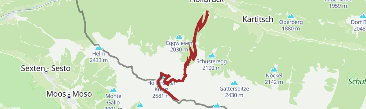
From Hollbruck this remembrance route climbs past the Blauer See to a First World War mountain cemetery near the Hochgräntenjoch, following the old front line on the border ridge.
- 21.6 km
- Distance
- 1 470 m
- Ascent
- 9 h 51 min
- Duration
- 13
- Check-ins
 Hollbrucker Spitze - Cima di Pontegrotta 2 580 m
- Hollbrucker Kreuz 2 581 m
- Hollbrucker Egg 2 573 m
 Hochgräntensee 2 422 m
 Hochgräntenjoch - Sella di Nemes 2 429 m
- Kleines Seabl 2 466 m
- +1
Skitour Pfannspitze 2.678m
Winter ascent from the Kartitsch sports ground past the Obstansersee-Hütte to the 2,678 m Cima Vanscuro on the Carnic crest — nearly 1,300 m of skinning.
- 6.1 km
- Distance
- 1 296 m
- Ascent
- 1 296 m
- Descent
- 4 h 8 min
- Duration
- 14
- Check-ins
Wanderung zur Filmoor-Standschützenhütte über das Erschbaumertal
The Erschbaumertal approach to the Filmoor-Standschützenhütte: from Rauchenbach past the herders' hut and over the Hintersattel to the refuge on the Carnic main ridge.
- 15.7 km
- Distance
- 1 096 m
- Ascent
- 7 h 18 min
- Duration
- 6
- Check-ins
Hollbrucker Spitze 2.581m
Ski tour from the Hollbruck car park past the Blauer See to a 2,581 m summit on the Italian border, with around 1,200 m of climbing.
- 6.0 km
- Distance
- 1 241 m
- Ascent
- 1 241 m
- Descent
- 3 h 58 min
- Duration
- 4
- Check-ins
- Hollbrucker Spitze - Cima di Pontegrotta 2 580 m
- Blauer See 2 272 m
Wanderung zur Filmoor-Standschützenhütte über das Leitertal
Approach through the quiet Leitertal — pasture road first, then steeper ground past the two Stuckensee lakes — to a small hut on the Carnic main ridge.
- 17.0 km
- Distance
- 962 m
- Ascent
- 6 h 47 min
- Duration
- 5
- Check-ins
Skitour Eisenreich 2.665m
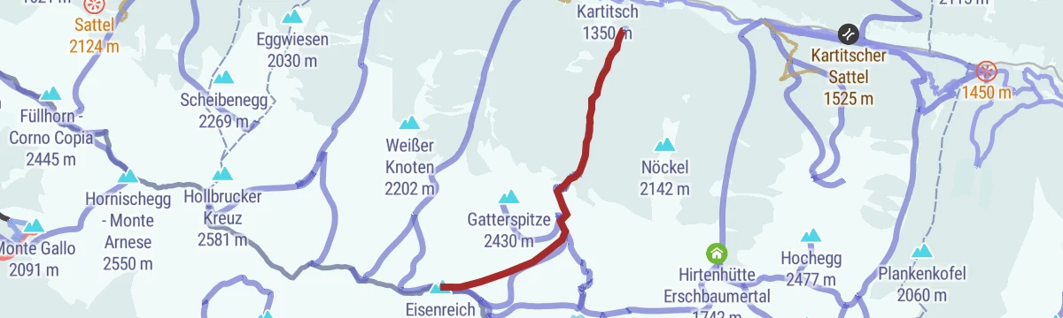
Steep ski tour from the Kartitsch sports ground to a 2,665 m summit on the Carnic ridge, gaining almost 1,250 m in under 5 km.
- 5.0 km
- Distance
- 1 245 m
- Ascent
- 1 245 m
- Descent
- 3 h 52 min
- Duration
- 3
- Check-ins
Gipfelwanderung Dorfberg
Long summit loop from St. Oswald past the Prugger Alm to a grassy lookout above the Kartitsch valley, with a leg to the Obstansersee Hütte.
- 17.6 km
- Distance
- 867 m
- Ascent
- 6 h 23 min
- Duration
- 4
- Check-ins
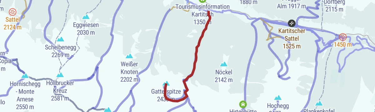
Skitour Gatterspitze 2.430m
From the sports ground in Kartitsch this ski tour climbs a little over 1,000 m to a 2,430 m summit in the Carnic chain.
- 4.9 km
- Distance
- 1 050 m
- Ascent
- 1 050 m
- Descent
- 3 h 20 min
- Duration
Grenzlandwanderweg
Long, mostly gentle traverse through the border country of the upper Gail valley, starting in Kartitsch and passing the Refugium Tilliach on nearly 16 km of meadow and forest paths.
- 22.8 km
- Distance
- 450 m
- Ascent
- 6 h 27 min
- Duration
No routes of this kind in Kartitsch yet.
The region's own picks

Featured route
Wanderung zur Filmoor-Standschützenhütte über das Schöntal
From the Kartitscher Sattel through the Schöntal to the Filmoor-Standschützenhütte on the Carnic main ridge, passing the Weitenstall and a herders' hut.
Planning a trip to Kartitsch?
Everything else Tyrol has, in one place


Take Kartitsch with you into the mountains
Every route on this page with 3D terrain, GPX navigation and offline maps — including the valleys with no signal.
Data sources
- Official website: osttirol.com ↗
- Routes and highlights: Osttirol Tourismus
- Published as open data by the tourist boards named above.
- Region summary generated from the board's own material.
