
 Historic site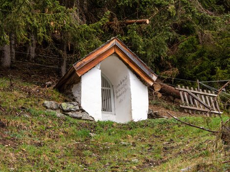
















Curated by TVB Paznaun-Ischgl
Kappl
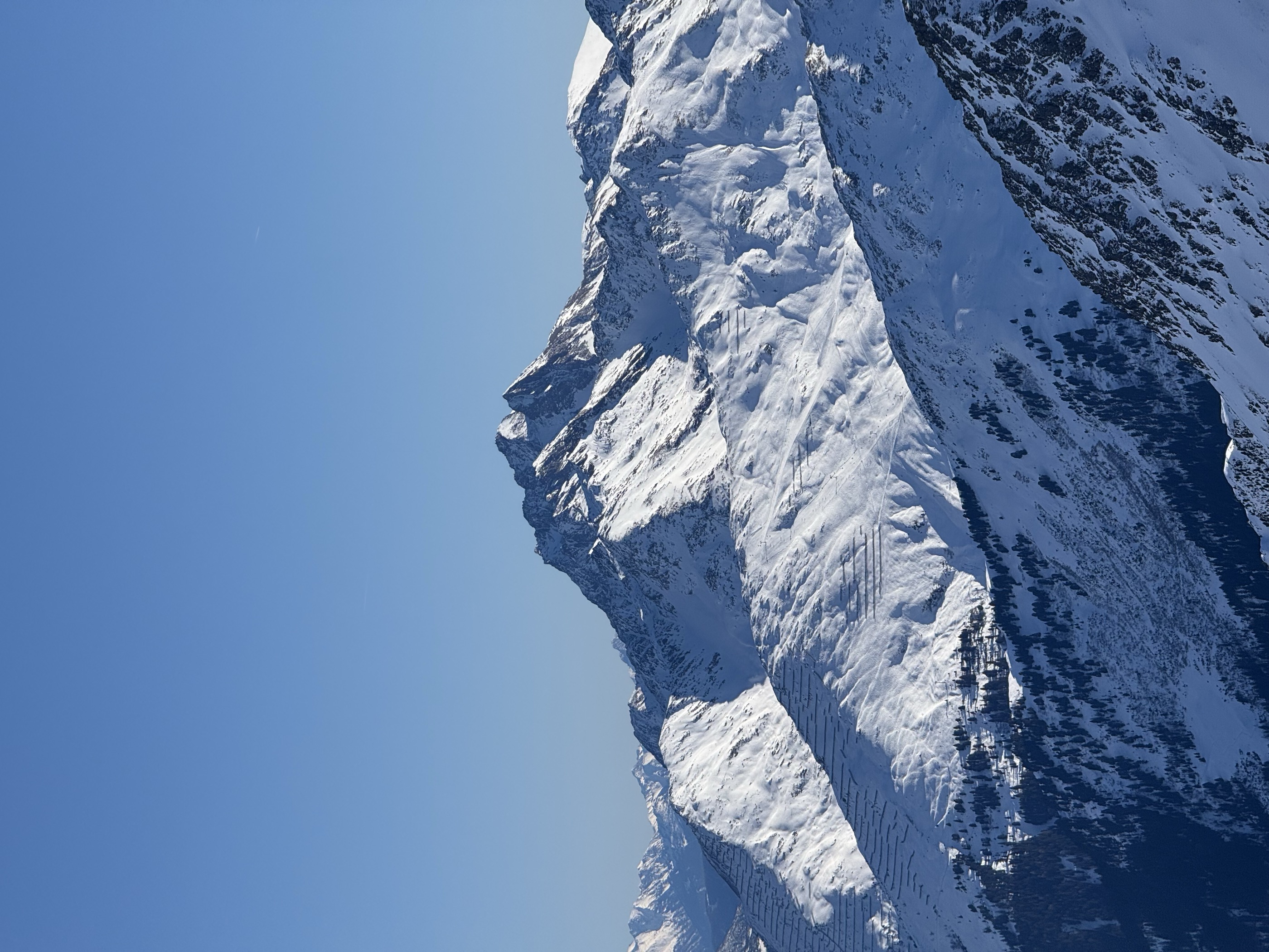
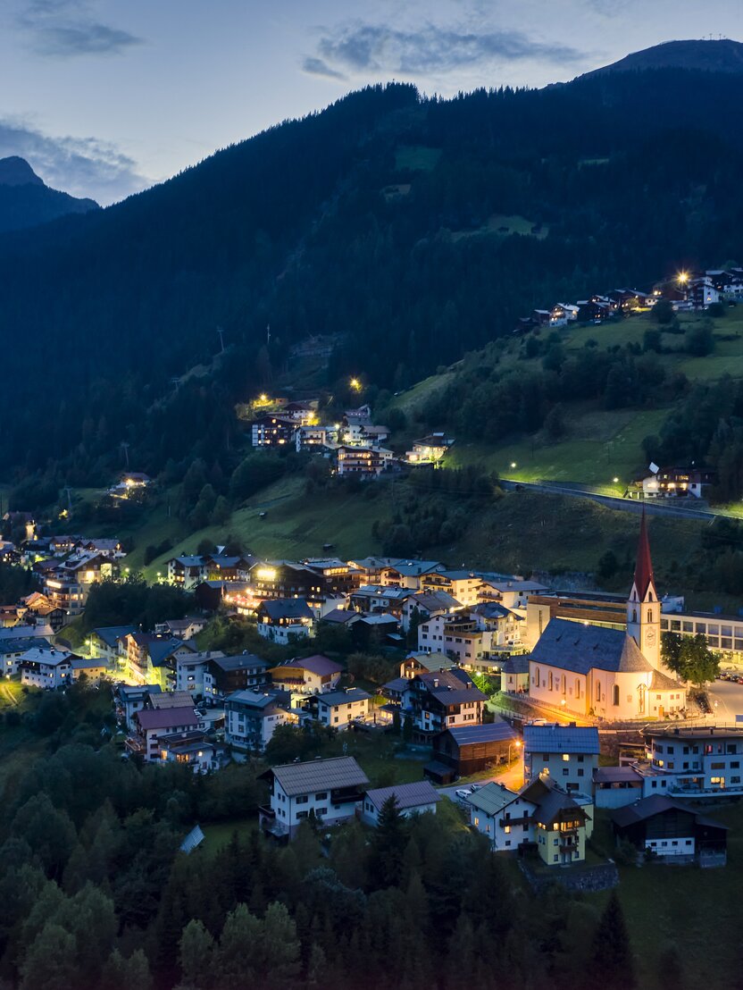
The Paznaun's most populous municipality, sunny hamlet-dotted slopes at about 1260 m above the Trisanna, with small mountain lakes below the Verwall peaks.
- 63Highlights
- 79Routes
- Featured summit · Hoher Riffler (Nord)
Highlights
The 20 highest-rated · see the rest on ischgl.com ↗
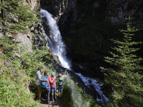
Visnitzwasserfall
A waterfall on the Visnitzbach in the Paznaun valley near Kappl, a short walking destination on the valley's south side.
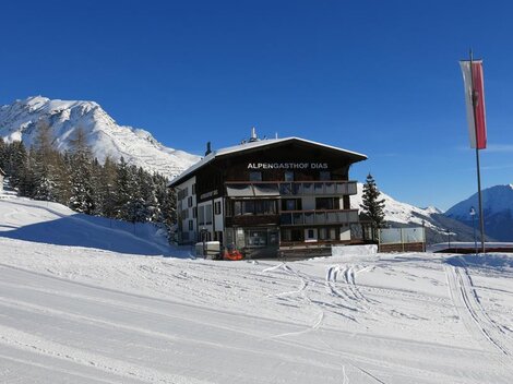
Alpengasthof Dias
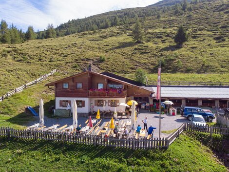
A mountain inn on the Dias plateau above Kappl, reached by the village gondola and serving Tyrolean dishes beside the walking trails.
Ascher Hütte
A mountain hut in the Samnaun group above the village of See at 1,056 m, a full-day walking destination in the lower Paznaun.
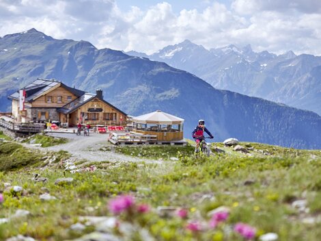
Bock-Alm
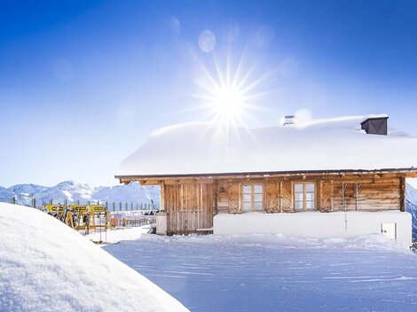
A hut on the slopes above Kappl near the top of the village gondola, serving skiers in winter and walkers in the summer months.
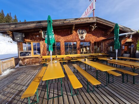
Tiroler Hütte
A small hut in the Kappl skiing and walking area above the Paznaun valley, serving drinks and simple Tyrolean dishes near the pistes.
Versing Alm
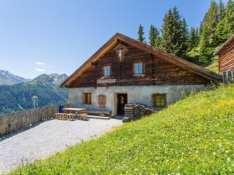
An alpine pasture above the village of See in the Paznaun valley, where a small hut serves refreshments during the summer grazing months.
Almmuseum Alpe Dias
A small alm museum at the Alpe Dias above Kappl, showing how alpine dairy farming was carried out in the Paznaun.
Bildstock - Heuberg
A wayside shrine at Heuberg above the lower Paznaun near See, marking one of the old farm paths of the valley.
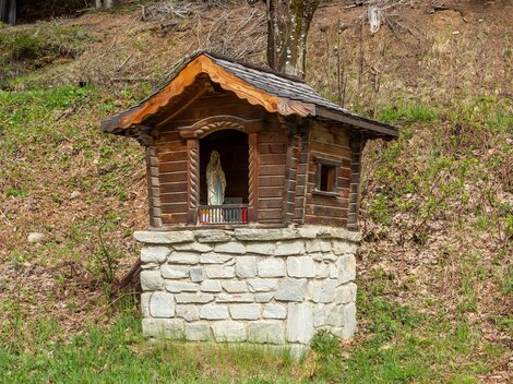
Bildstock - Richtung Sinser Wald
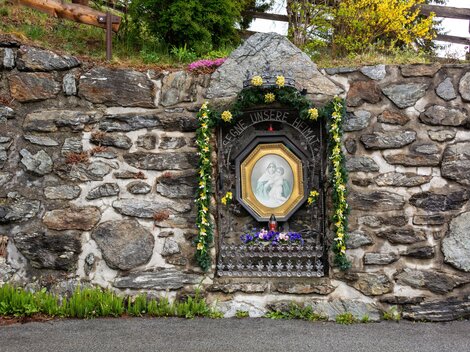
A wayside shrine on the path toward the Sinser Wald near Kappl, a small devotional monument typical of the Paznaun.
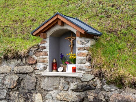
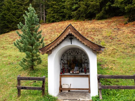
Bildstock Großtaja
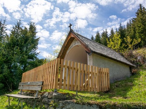
A wayside shrine at Großtaja near Kappl, one of many small devotional monuments along the old paths of the Paznaun.
Bildstock Innerlangesthei
A wayside shrine in Innerlangesthei, a scattered hamlet on the slope above the Paznaun valley near Kappl.
Bildstock in Hofstatt
A wayside shrine in the hamlet of Hofstatt near Kappl, part of the Paznaun's tradition of small roadside chapels and crosses.
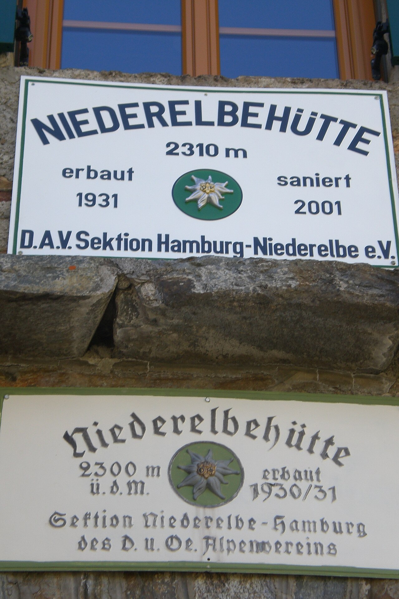
Niederelbe Hütte
An Alpine Club hut at around 2,300 m in the Verwall above Kappl, set beside the Seßsee and a base for hut-to-hut routes.
"Kreuzele" in Egg
A small wayside cross known locally as the 'Kreuzele' in the hamlet of Egg near Kappl, marking an old route through the Paznaun valley.
Bienenlehrpfad
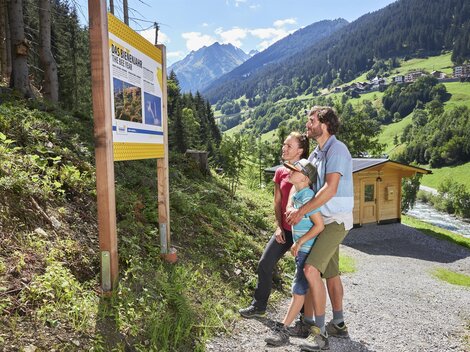
An educational bee trail at Kappl in the Paznaun, with information stations on honeybees and alpine beekeeping.
Durrichalpe
An alpine pasture in the mountains above the lower Paznaun near Kappl, a destination on the valley's walking network.
Langesthei Alpe
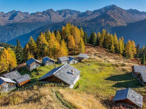
An alpine pasture above the hamlet of Langesthei near Kappl, reached on foot through the side valleys of the Paznaun and worked as a summer grazing station.
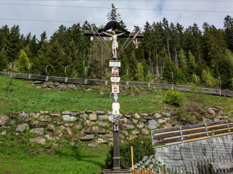
Passionskreuz Höfen-Tschatscha
A passion cross between the hamlets of Höfen and Tschatscha near Kappl, one of the carved wayside crosses that line the old paths of the Paznaun.
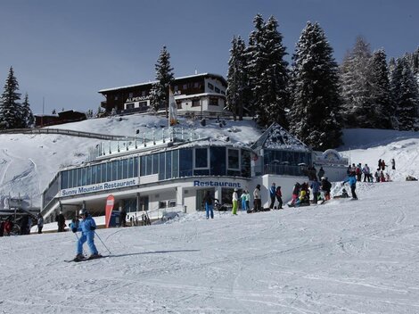
Sunny Mountain Restaurant
A family-oriented mountain restaurant at the top of the Kappl gondola, beside the Sunny Mountain adventure park above the Paznaun valley.
Annakapelle in Ahornach
A chapel of St. Anne in Ahornach near Kappl, a hamlet whose name derives from Ahorn, the German word for maple.
Nothing of this kind in Kappl.
Routes
50 routes, an even mix of activities · see the rest on ischgl.com ↗
K.2 Visnitzweg - Wasserfall - Rotwegkapelle
Easy family circuit from Kappl into the Visnitz valley, visiting a waterfall before swinging back past the Rotwegkapelle above the village.
- 6.5 km
- Distance
- 267 m
- Ascent
- 2 h 10 min
- Duration
- 4
- Check-ins
Ascherhütte über Spinnscharte
Crossing from the Serfaus lift country over the Spinnscharte past the Oberer Spinnsee to the Ascher Hütte, a quieter hut goal in the Samnaun group.
- 8.5 km
- Distance
- 649 m
- Ascent
- 4 h 14 min
- Duration
- 68
- Check-ins
S.9.: Furglerjoch - Furgler
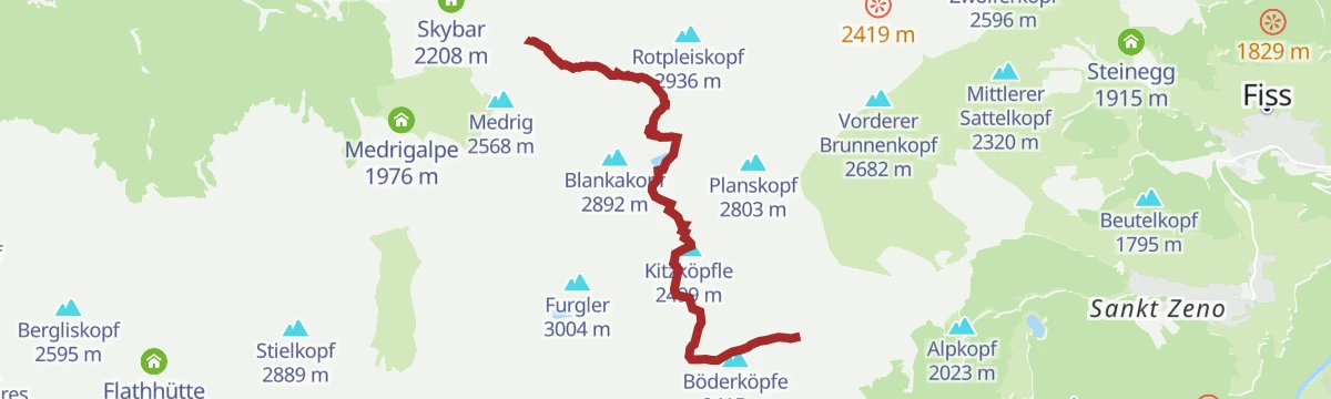
From the Medrigalm above See the route climbs past the Ascher Hütte and over the Furglerjoch to the Furgler at 3,004 m, one of the Samnaun group's most-visited summits.
- 14.6 km
- Distance
- 1 237 m
- Ascent
- 7 h 51 min
- Duration
- 30
- Check-ins
Edmund-Graf-Hütte - Hoher Riffler
The summit leg above the Edmund-Graf-Hütte: 2.1 km and 738 m on skis onto the Hoher Riffler, topping out at 3,134 m.
- 1.8 km
- Distance
- 0 m
- Ascent
- 0 m
- Descent
- 27 min
- Duration
Open route PeakVisor tTRL (OpenStreetMap piste_type=skitour)7171 Dias-Flow-Trail
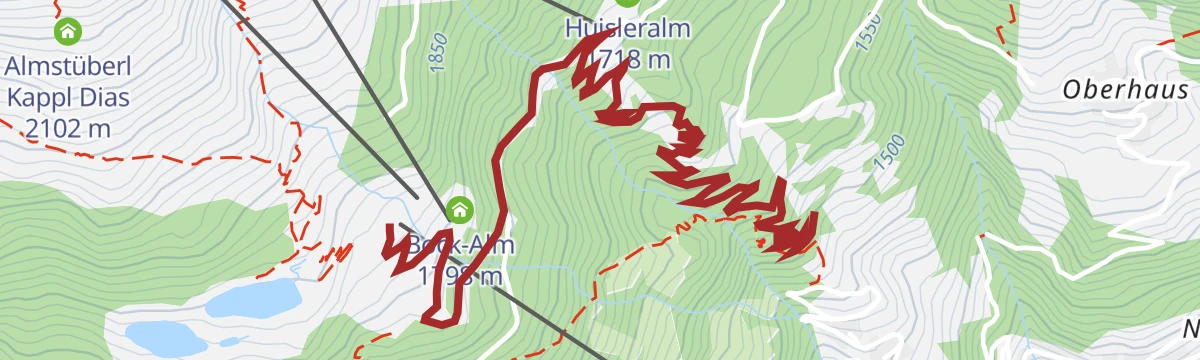
A lift-served flow trail dropping from the Dias area at Kappl past the Huisleralm, ridden with the gondola doing the climbing.
- 3.8 km
- Distance
- 5 m
- Ascent
- 21 min
- Duration
- 4
- Check-ins
740 Kleine Dias Runde
The shorter Dias circuit above Kappl, climbing past the Huisleralm to the reservoirs before turning back down the mountain.
- 12.3 km
- Distance
- 576 m
- Ascent
- 1 h 38 min
- Duration
- 12
- Check-ins
 Huisleralm 1 718 m
 Speicherteich Dias 1 846 m
- Angelteich 1 825 m
- Infobüro 1 270 m
- Speicherteich Dias II 1 825 m
- Bock-Alm 1 798 m
S.1: Ascherhütten-Tour
A long climb on the mountain road from See to the hut at 2,256 m, passing the Medrigalm restaurant and the Gratli on the way.
- 24.1 km
- Distance
- 1 225 m
- Ascent
- 3 h 23 min
- Duration
- 23
- Check-ins
7185 Talweg Kappl-See
A valley cycle route between the two Paznaun villages, ending near the Medrigjochbahn base station and the Bergrausch Hütte.
- 12.7 km
- Distance
- 369 m
- Ascent
- 1 h 29 min
- Duration
- 4
- Check-ins
Bike & Hike See - Furgler
A bike-and-hike from the Paznaun: forest road to the Ascher Hütte at 2,256 m, then on foot past the Furglerjoch to the summit ridge.
- 15.1 km
- Distance
- 2 089 m
- Ascent
- 4 h 37 min
- Duration
- 35
- Check-ins
Themenweg Sunny’s Adventure
One-kilometre discovery path at the Speicherteich Dias above Kappl, its play stations themed around Sunny, the local children's mascot.
- 1.0 km
- Distance
- 72 m
- Ascent
- 21 min
- Duration
- 4
- Check-ins
- Speicherteich Dias 1 846 m
Ascherhütte über Blankasee
A lake-to-lake traverse from the Lazid area past the Furglersee and Blankasee to the Ascher Hütte, crossing from the Serfaus plateau toward the Paznaun side.
- 7.7 km
- Distance
- 553 m
- Ascent
- 3 h 40 min
- Duration
- 58
- Check-ins
Etappe 3: Schmugglerroute
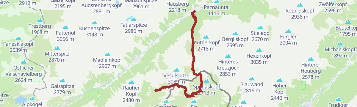
Historic smugglers' stage climbing from the Idalp over the border ridge to Alp Trida and on toward Kappl — more than 2,000 m of ascent across old contraband paths between Tyrol and Samnaun.
- 20.0 km
- Distance
- 2 060 m
- Ascent
- 12 h 36 min
- Duration
- 26
- Check-ins
704: Singletrail Tobadill
A short waymarked singletrack on the hillside above Tobadill, west of Landeck in Tirol.
- 1.5 km
- Distance
- 38 m
- Ascent
- 12 min
- Duration
738 Grosse Dias Runde
The longer of two loops on the Dias plateau above Kappl, past the storage ponds and the small fishing lake at 1,825 m.
- 14.1 km
- Distance
- 632 m
- Ascent
- 1 h 51 min
- Duration
- 8
- Check-ins
- Speicherteich Dias 1 846 m
- Angelteich 1 825 m
- Infobüro 1 270 m
- Speicherteich Dias II 1 825 m
100 Panorama (E-) Biketour Kappl-See
A long e-bike friendly tour through the Paznaun from Kappl to See, reaching the Medrigalm restaurant and the Dias reservoir.
- 40.9 km
- Distance
- 2 615 m
- Ascent
- 7 h 14 min
- Duration
- 18
- Check-ins
- Panoramarestaurant Medrigalm 1 799 m
- Speicherteich Dias 1 846 m
- Bergrausch Hütte 1 037 m
- Schupfa 1 178 m
- Das Seemount 1 038 m
Bike & Hike See - Rotpleiskopf
A long approach ride to the Ascher Hütte at 2,256 m, from where the summit walk continues along the ridge above the Medrigalm.
- 18.9 km
- Distance
- 1 891 m
- Ascent
- 4 h 25 min
- Duration
- 24
- Check-ins
7-Kapellen-Weg
Gentle walk connecting seven chapels around Kappl, a short cultural round through the hamlets on the valley's sunny terrace.
- 4.8 km
- Distance
- 112 m
- Ascent
- 1 h 25 min
- Duration
- 1
- Check-ins
S.5.: Giggler Alm
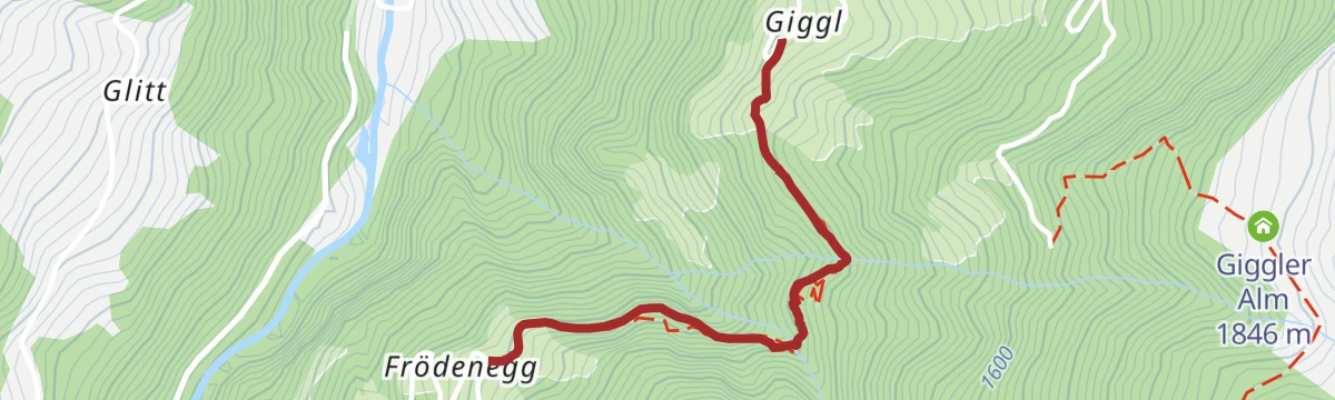
Panorama traverse from the Medrigalm above See to the Giggler Alm, a long but moderate line past the Bergrausch Hütte and the Versingalpe high over the Paznaun.
- 14.6 km
- Distance
- 573 m
- Ascent
- 4 h 51 min
- Duration
- 13
- Check-ins
S.14 Spinnscharte - Schönjöchl
From the Medrig station past the Zirbenhütte and Ascher Hütte to the Urgsee and Oberer Spinnsee, crossing the Spinnscharte below the Schönjöchl on a long alpine circuit.
- 12.6 km
- Distance
- 1 144 m
- Ascent
- 6 h 39 min
- Duration
- 24
- Check-ins
791: Landeck-See
A forest-road climb out of the Inn valley at Landeck into the lower Paznaun, ending near the Medrigjochbahn base station at about 1,040 m.
- 14.5 km
- Distance
- 665 m
- Ascent
- 1 h 50 min
- Duration
- 3
- Check-ins
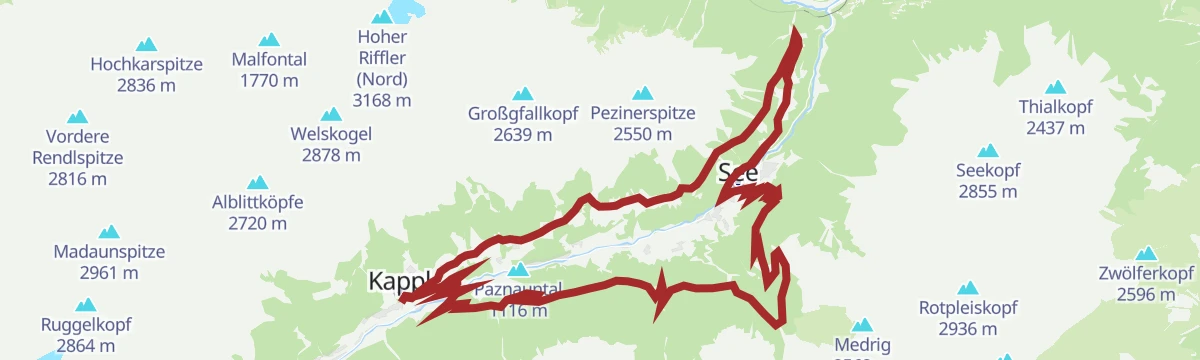
7182 Vorderes Paznaun Runde
A big circuit of the outer Paznaun from Kappl, climbing to the Medrigalm and passing the Schallerbach icefall low down.
- 39.5 km
- Distance
- 1 534 m
- Ascent
- 4 h 57 min
- Duration
- 13
- Check-ins
Bike & Hike Kappl- Sessladspitze
A hard ascent to the Niederelbehütte above the Seßsee, from where the walk continues over the Seßladjoch at 2,749 m.
- 16.1 km
- Distance
- 1 628 m
- Ascent
- 3 h 48 min
- Duration
- 14
- Check-ins
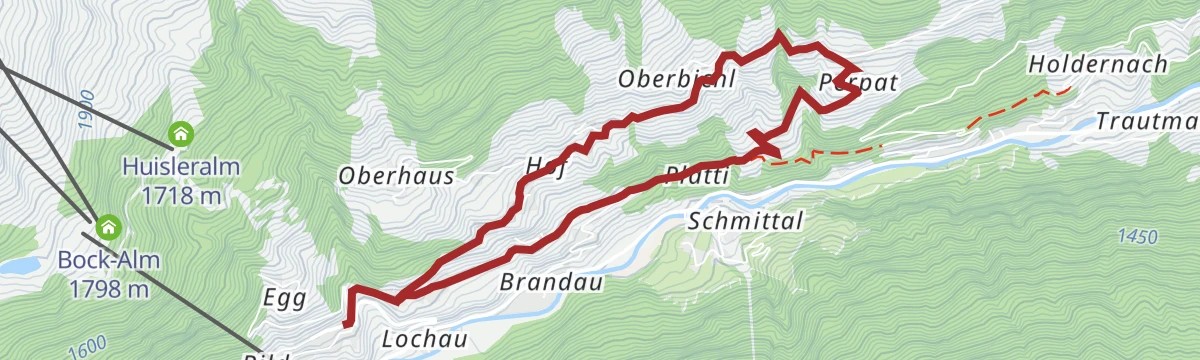
K.1 Kappler Berg - Perpat - Althof - Untermühl - Kappl
Easy round through the sunny farming hamlets on Kappl's terraced hillside, following old lanes and meadow paths with barely 250 m of climbing.
- 7.0 km
- Distance
- 256 m
- Ascent
- 2 h 16 min
- Duration
- 1
- Check-ins
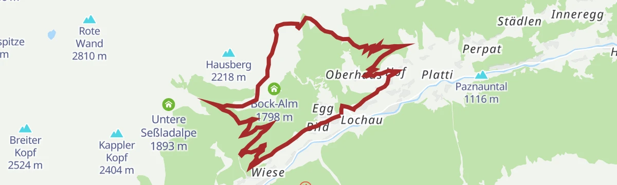
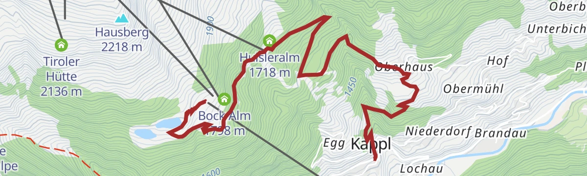
K.18 Kappl Dorf - Oberhaus - Dias
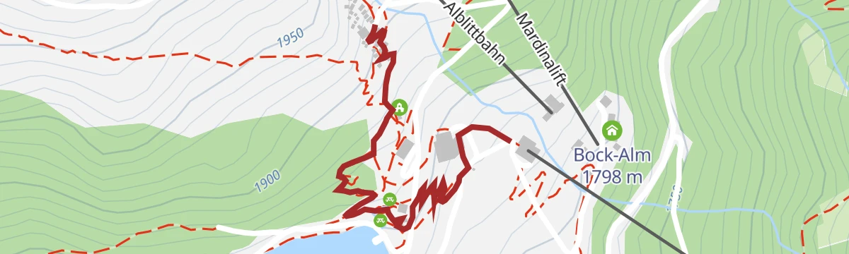
Steady climb from Kappl village through Oberhaus to the Dias mountain terrace, arriving at the storage pond and the Bock-Alm near the gondola's top station.
- 5.6 km
- Distance
- 587 m
- Ascent
- 2 h 32 min
- Duration
- 12
- Check-ins
- Huisleralm 1 718 m
- Speicherteich Dias 1 846 m
- Angelteich 1 825 m
- Infobüro 1 270 m
- Bock-Alm 1 798 m
S.4.: Ascherhütte - Versing Alm
High traverse in the See mountains from the Medrigalm to the Ascher Hütte and on to the Versingalpe, a long undulating line over the Gratli with limited net climbing.
- 15.6 km
- Distance
- 517 m
- Ascent
- 4 h 56 min
- Duration
- 22
- Check-ins
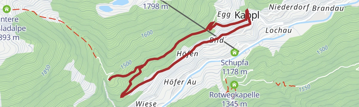
776 Sessladalpe Runde
A forest-road round from Kappl up to the Untere Seßladalpe at nearly 1,900 m, in the side valley south of the village.
- 13.8 km
- Distance
- 622 m
- Ascent
- 1 h 49 min
- Duration
- 2
- Check-ins
744: Untertal Runde
A round on forest roads on the lower slopes above See in the Paznaun, with the Bergrausch Hütte near the valley station.
- 19.9 km
- Distance
- 270 m
- Ascent
- 2 h 17 min
- Duration
- 12
- Check-ins
Bike & Hike Kappl - Kappler Kopf
A ride from Kappl up past the Untere Seßladalpe, then a walk by the Seßsee and the Niederelbehütte to the peak above.
- 13.0 km
- Distance
- 1 168 m
- Ascent
- 2 h 47 min
- Duration
- 12
- Check-ins
K.3 Rundweg Egg - Oberhaus - Kappl
Short village loop from Kappl through the hamlets of Egg and Oberhaus, an easy round on farm lanes and field paths with steady valley views.
- 5.0 km
- Distance
- 303 m
- Ascent
- 2 h 5 min
- Duration
- 1
- Check-ins
Etappe 8: der Kieler-Weg & Riffler-Weg
Hut-link stage from the Niederelbehütte to the Edmund-Graf-Hütte over the Schmalzgrubenscharte, passing the Seßsee and the Schmalzgrubensee on classic Verwall paths.
- 8.7 km
- Distance
- 531 m
- Ascent
- 3 h 32 min
- Duration
- 11
- Check-ins
- Niederelbehütte 2 300 m
- Edmund-Graf-Hütte 2 375 m
- Seßsee 2 299 m
 Schmalzgrubenscharte 2 697 m
- Obere Seßladalpe 2 263 m
- Schmalzgrubensee 2 556 m
LEKI Cross Trail-See-Schallerbach Variante 3
The longest of the Schallerbach cross-trail variants above See, climbing past the Versingalpe and on toward the Ascher Hütte before dropping back to the valley.
- 11.0 km
- Distance
- 1 238 m
- Ascent
- 7 h 27 min
- Duration
- 19
- Check-ins
7091 Durrichalpe Tour
A forest-road climb out of Kappl in the Paznaun towards the Durrichalpe, with a gravel descent back down to the village.
- 13.6 km
- Distance
- 590 m
- Ascent
- 1 h 46 min
- Duration
- 1
- Check-ins
735 Inntalblick Runde
A long loop out of the Paznaun towards the Inn valley rim, calling at the Aloisiahütte and the Bergrausch Hütte.
- 31.9 km
- Distance
- 1 152 m
- Ascent
- 3 h 55 min
- Duration
- 6
- Check-ins
Bike & Hike Kappl - Pezinerspitze
A climb through the Dias ski area past the Speicherteich reservoir to the Spiduralpe, the bike left there for the ridge walk onward.
- 14.2 km
- Distance
- 1 115 m
- Ascent
- 2 h 44 min
- Duration
- 8
- Check-ins
 Pezinerspitze 2 550 m
- Niederjöchl 2 347 m
- Speicherteich Dias 1 846 m
- Spiduralpe 2 118 m
K.4 Diasweg - Heiligkreuz Kapelle - Ruhesteinkapelle
Easy chapel walk on the Diasweg above Kappl, linking the Heiligkreuz and Ruhestein chapels on a quiet balcony path with valley views.
- 5.2 km
- Distance
- 210 m
- Ascent
- 1 h 44 min
- Duration
- 1
- Check-ins
S.15 Furglerblickrunde
Compact loop from the Medrigjoch past the Ascher Hütte with constant views across to the Furgler, using the Gratli crest and the Skybar area above See.
- 5.0 km
- Distance
- 365 m
- Ascent
- 2 h 24 min
- Duration
- 11
- Check-ins
S.3.: Rotpleiskopfüberschreitung über Ascherhütte
Committing traverse of the Rotpleiskopf from the Medrigalm, climbing past the Ascher Hütte and crossing the Spinnscharte before the long descent toward See.
- 14.3 km
- Distance
- 1 139 m
- Ascent
- 7 h 21 min
- Duration
- 19
- Check-ins
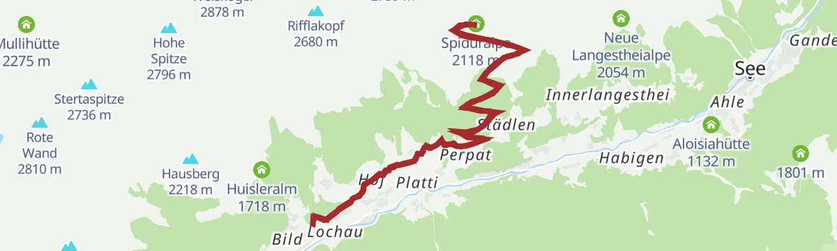
7167 Spidur Alpe Tour
A demanding forest-road climb from the village of Kappl to the Spiduralpe at over 2,100 m, high on the sunny flank of the Paznaun.
- 18.0 km
- Distance
- 888 m
- Ascent
- 2 h 29 min
- Duration
- 1
- Check-ins
Bike & Hike Kappl - Mittagskopf
A steady ascent from Kappl past the Rotwegkapelle to the Visnitzalpe, where the walking section up to the Mittagkopf begins.
- 11.9 km
- Distance
- 1 079 m
- Ascent
- 2 h 34 min
- Duration
- 5
- Check-ins
Kapellen-Besinnungsweg
Contemplative chapel path near Kappl with stations for quiet reflection, an easy short round through meadows and hamlets.
- 5.0 km
- Distance
- 204 m
- Ascent
- 1 h 40 min
- Duration
- 1
- Check-ins
Wanderung zur Niederelbehütte
Gentle approach hike to the Niederelbehütte at the Seßsee, climbing past the Obere Seßladalpe with only modest height gain to reach the Verwall hut.
- 8.5 km
- Distance
- 304 m
- Ascent
- 2 h 45 min
- Duration
- 7
- Check-ins
- Niederelbehütte 2 300 m
- Seßsee 2 299 m
- Obere Seßladalpe 2 263 m
K.14 Edmund Graf Hütte - Hoher Riffler
Marathon-length summit day from Kappl to the Edmund-Graf-Hütte and up both tops of the Hoher Riffler, with nearly 2,000 m of ascent via the Schmalzgrubenscharte and Blankascharte.
- 21.9 km
- Distance
- 1 987 m
- Ascent
- 13 h 27 min
- Duration
- 16
- Check-ins
7183 Kappler Weiler Runde
A hard round through the scattered hamlets above Kappl, with over a thousand metres of climbing.
- 23.9 km
- Distance
- 732 m
- Ascent
- 2 h 49 min
- Duration
- 1
- Check-ins
Bike & Hike Kappl - Kreuzjochspitze
A road-and-track ascent from the Paznaun valley past the Untere Seßladalpe to the Seßsee tarn, with the peak reached on foot from there.
- 16.6 km
- Distance
- 1 697 m
- Ascent
- 3 h 57 min
- Duration
- 4
- Check-ins
- Kreuzjochspitze 2 919 m
- Infobüro 1 270 m
- Untere Seßladalpe 1 893 m
- Seßsee 2 299 m
Kapellenrundwanderung
Easy round of Kappl's chapels on the hillside above the village, combining several small sanctuaries into one short walk.
- 5.1 km
- Distance
- 299 m
- Ascent
- 2 h 5 min
- Duration
- 1
- Check-ins
K.17 Almstüberl - Hausberg
Short, steep push from the Almstüberl at Dias to the Hausberg summit — under 3 km but nearly 400 m of ascent to a fine Paznaun viewpoint.
- 3.0 km
- Distance
- 388 m
- Ascent
- 1 h 33 min
- Duration
- 6
- Check-ins
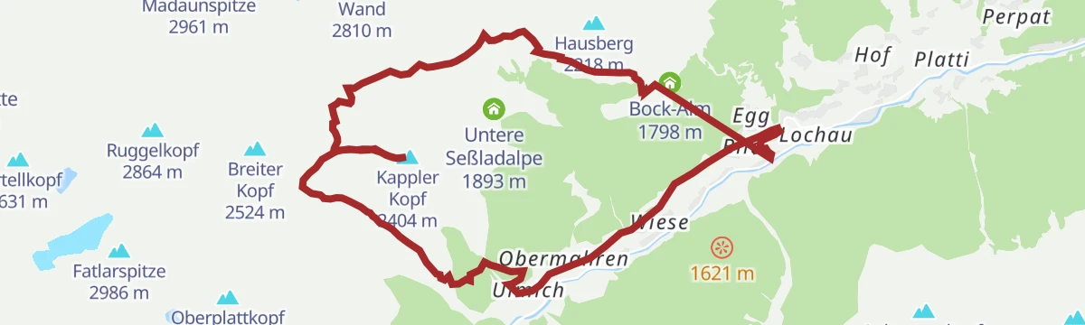
K.10 Ulmich - Fatlartal - Niederelbehütte
Demanding loop from Kappl through the Fatlar valley to the Niederelbehütte, tagging the Kappler Kopf and crossing the Seßgratjoch above the Seßsee.
- 17.0 km
- Distance
- 1 316 m
- Ascent
- 8 h 33 min
- Duration
- 14
- Check-ins
737 Auf alten Wegen
A demanding climb on old tracks above Kappl, gaining more than 1,200 m from the valley floor.
- 19.4 km
- Distance
- 595 m
- Ascent
- 2 h 17 min
- Duration
- 1
- Check-ins
Bike & Hike Kappl - Blankasee
A gravel ride out of Kappl to where the road ends, followed by a walk up to the Lichtsee at just over 2,000 m.
- 19.4 km
- Distance
- 897 m
- Ascent
- 2 h 34 min
- Duration
- 1
- Check-ins
- Infobüro 1 270 m
- Lichtsee 2 014 m
- Blanka Jagdhütte 2 372 m
Kapellenweg Kapplerberg
Quiet chapel trail across the Kapplerberg terrace, an easy 200 m of climbing spread over a long balcony walk between hamlet churches.
- 7.0 km
- Distance
- 209 m
- Ascent
- 2 h 9 min
- Duration
- 1
- Check-ins
No routes of this kind in Kappl yet.
The region's own picks
Featured route
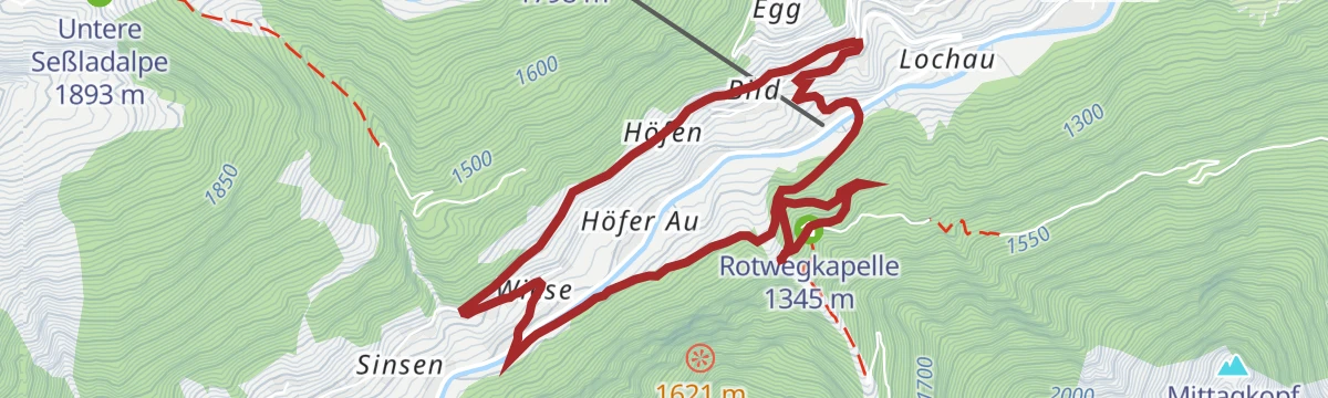
K.2 Visnitzweg - Wasserfall - Rotwegkapelle
Easy family circuit from Kappl into the Visnitz valley, visiting a waterfall before swinging back past the Rotwegkapelle above the village.
Planning a trip to Kappl?
Everything else Tyrol has, in one place


Take Kappl with you into the mountains
Every route on this page with 3D terrain, GPX navigation and offline maps — including the valleys with no signal.
Data sources
- Official website: ischgl.com ↗
- Routes and highlights: TVB Paznaun-Ischgl, Serfaus-Fiss-Ladis, PeakVisor tTRL (OpenStreetMap piste_type=skitour)
- Published as open data by the tourist boards named above.
- Region summary generated from the board's own material.
