
 Mountain hut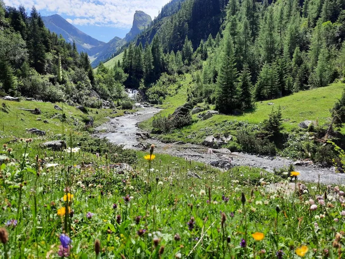
 Historic site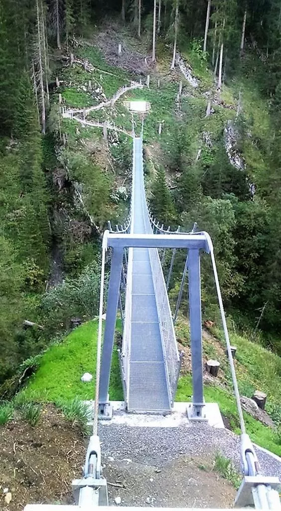







Curated by Lechtal Tourismus
Kaisers
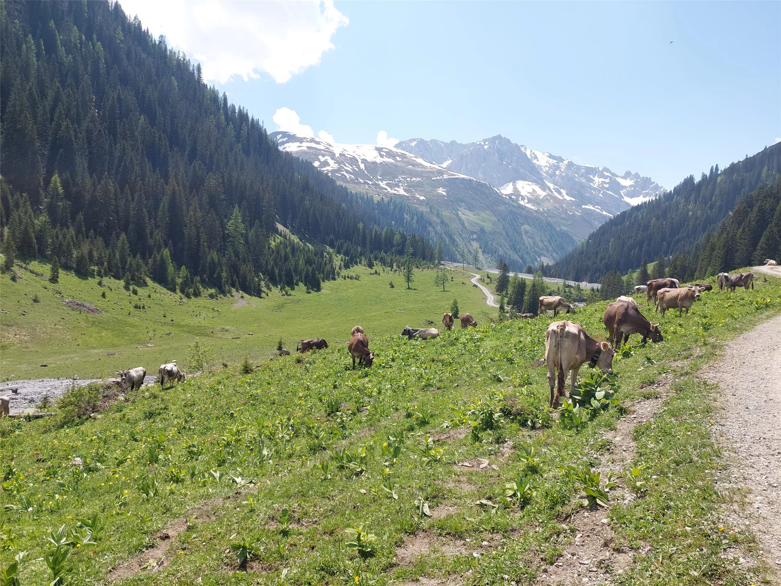
A road-end hamlet at about 1520 m in the Lechtaler Alps, the highest-lying municipality of the Außerfern and a walkers' base toward the Valluga.
- 6Highlights
- 31Routes
- Featured summit · Valluga
Highlights
9 from neighbouring places
Alpe Boden 1.554 m
An alpine pasture at 1,554 m near Kaisers, serving regional dishes to walkers in the remote Kaisertal branch of the Lechtal Alps.
Alpe Kaisers 1.689 m
A working alp at 1,689 m above the mountain village of Kaisers, offering regional food on the walking routes toward the Kaiserjoch.
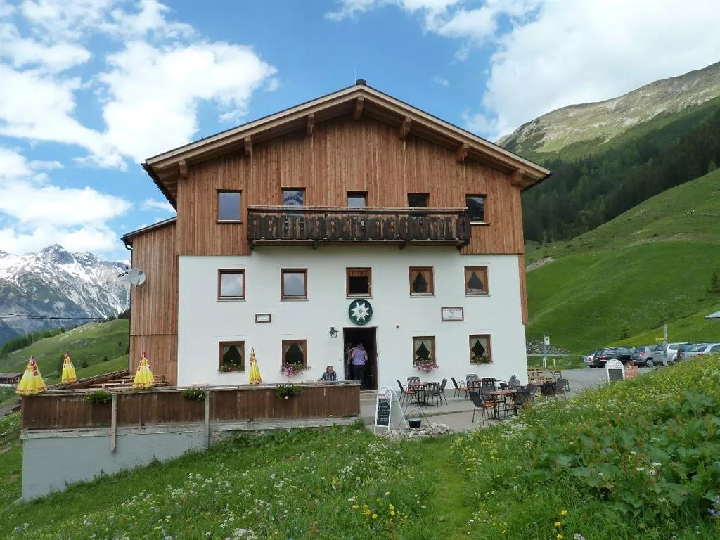
Edelweißhaus
A refuge and restaurant in Kaisers at over 1,500 m, serving Austrian and vegetarian dishes and lodging walkers in this remote side valley.
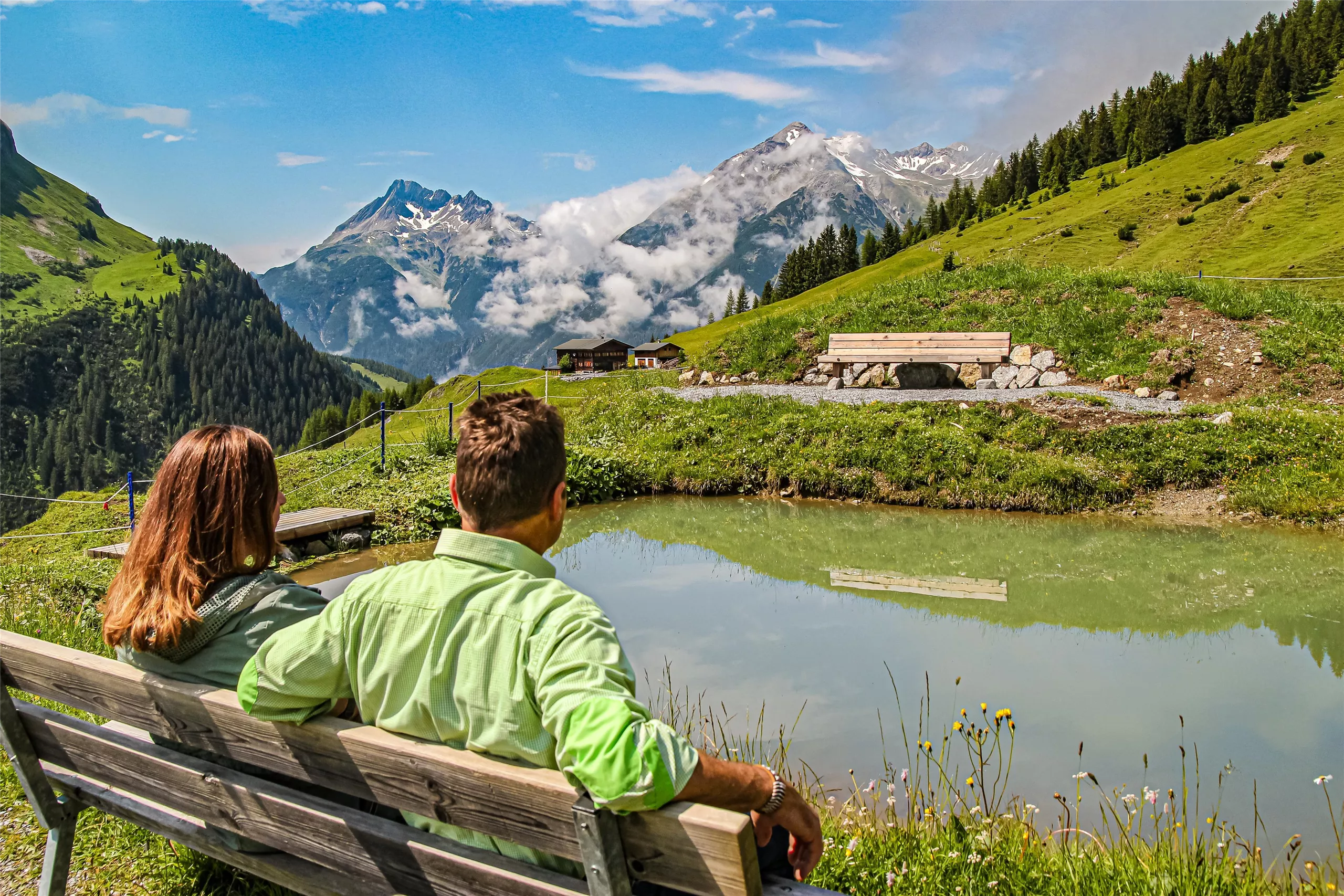
Kraftplatz "Am Waalsee"
A quiet designated resting spot by the small Waalsee near Kaisers, a mountain hamlet at about 1,500 m in a side valley of the Lechtal.
Hängebrücke Kienberg | Kaisers
A suspension footbridge on the Kienberg path near Kaisers, crossing a gorge in the high side valley above the upper Lechtal.
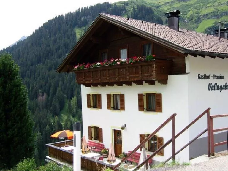
Gasthof Vallugablick
An inn at Kaisers, a remote village at 1,518 m in the Lechtal Alps, named for its view toward the Valluga and serving Austrian cooking.
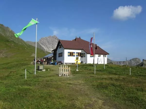
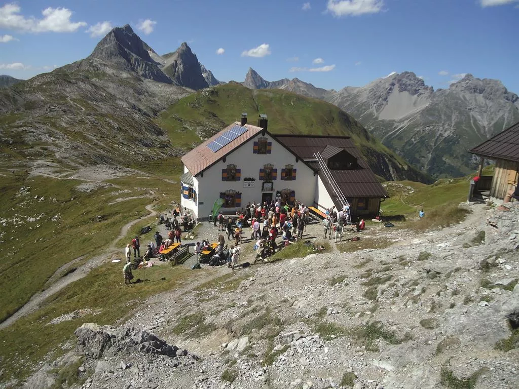
Kaiserjochhaus 2.310 m
2.4 km away, in Pettneu am Arlberg
A refuge at 2,310 m on the Kaiserjoch saddle above Kaisers, linking the Lechtal with the Stanzertal on the Lechtaler Höhenweg.
Frederick-Simmshütte 2.004 m
3.1 km away, in Bach
A refuge at 2,004 m in the Lechtal Alps above Bach, reached through the Madau area, serving regional food on high-route stages.
Leutkircher Hütte 2.251 m
4.4 km away, in St. Anton am Arlberg
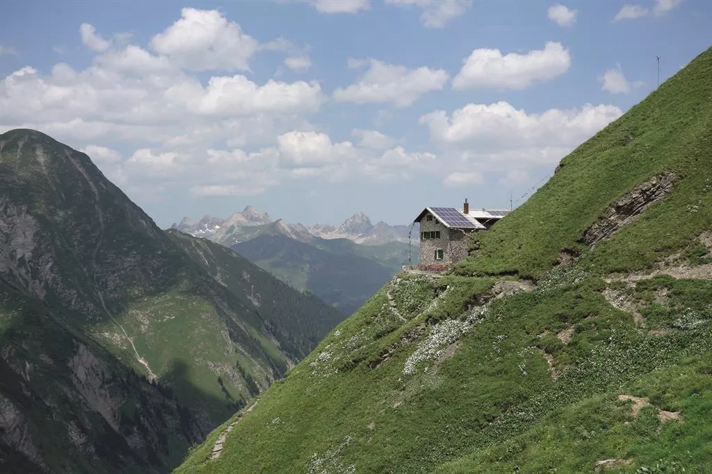
A refuge at 2,251 m on the ridge between Kaisers and the Arlberg, a stop on the high routes linking the Lechtal and Stanzertal.
Putzen Alm
5 km away, in St. Anton am Arlberg
An alp above St. Anton at the head of the Schöngrabental, reached on foot or by bike through the Nasserein quarter.
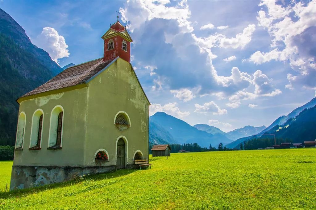
Dreifaltigkeitskapelle, Feldkapelle
5.5 km away, in Steeg
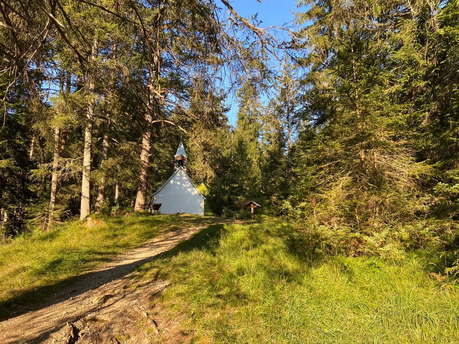
A field chapel dedicated to the Holy Trinity at Holzgau, a small historic devotional building among the meadows of the upper Lechtal.
Gebeinhaus | Martinskapelle Elbigenalp
5.5 km away, in Steeg
The Martinskapelle at Elbigenalp with its attached charnel house, a small historic burial chapel in the village churchyard.
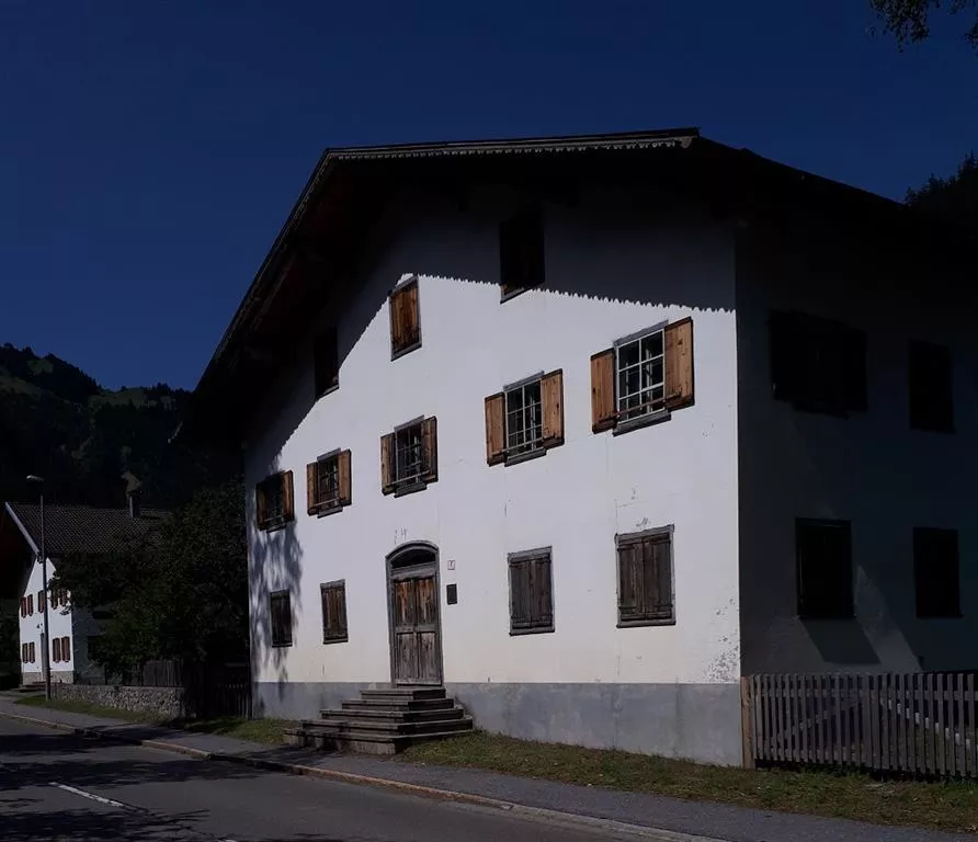
Geburtshaus - Anna Dengel
5.5 km away, in Steeg
The birthplace of Anna Dengel at Steeg, marked as a memorial to the physician who founded the Medical Mission Sisters.
Kapelle Seesumpf | Mariahilf
5.5 km away, in Steeg
The Mariahilf chapel at Seesumpf near Bach, a small devotional building among the meadows of the central Lechtal.
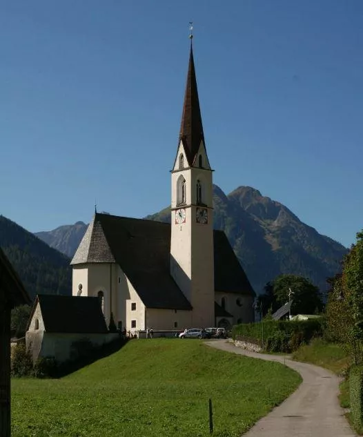
Kirche Bach
5.5 km away, in Steeg
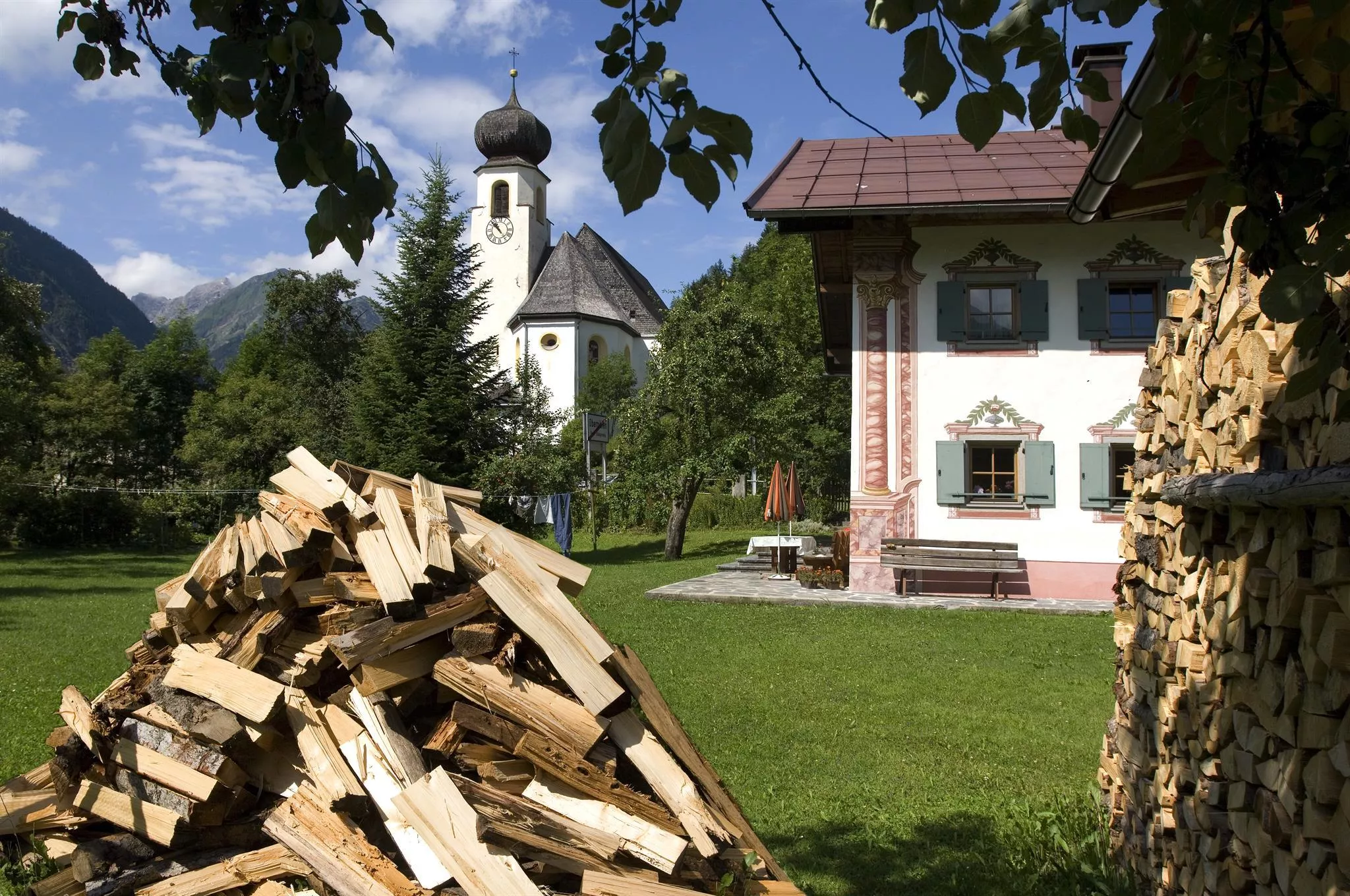
The parish church of Bach in the Lechtal, standing with its churchyard in the village at 1,070 m above the river.
Nothing of this kind in Kaisers.
Routes
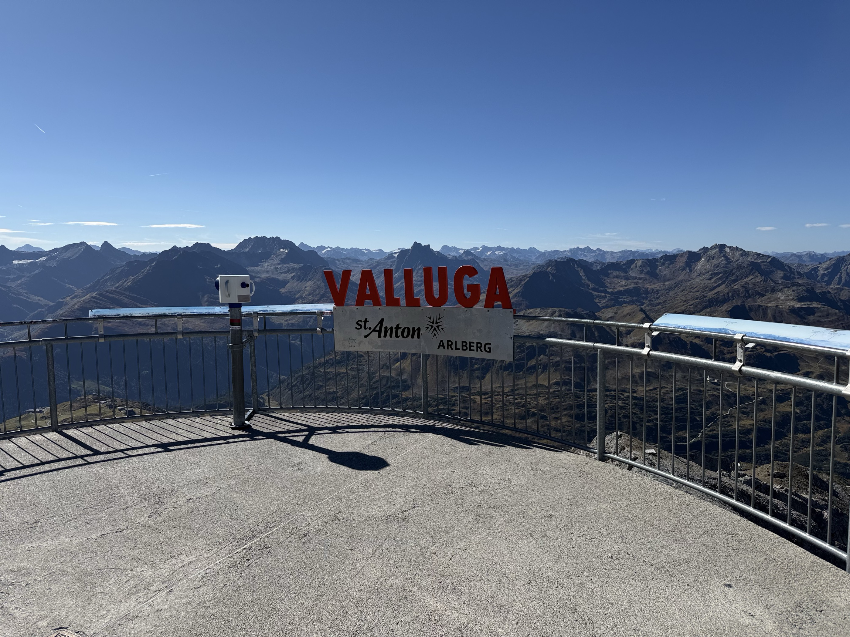
Valluga - Stuttgarter Hütte 2.310m
From the Vallugagrat station a high path leads across to the Stuttgarter Hütte at 2,310 m — an easy way to reach a genuine alpine hut, with the summit lifts doing the climbing.
- 4.5 km
- Distance
- 248 m
- Ascent
- 1 h 45 min
- Duration
- 27
- Check-ins
Kaiserjochhaus - Frederic-Simms-Hütte
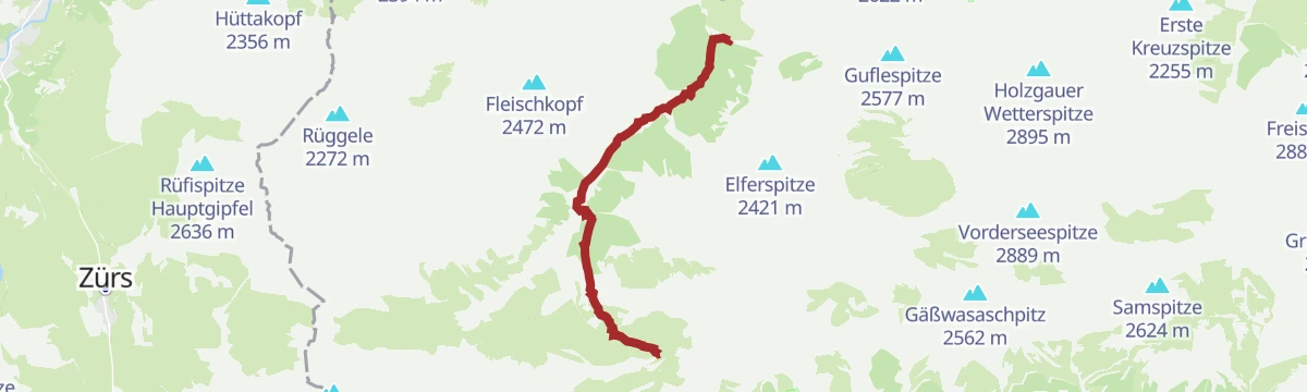
A Lechtaler Höhenweg stage that leaves the Kaiserjochhaus, threads a cable-secured gully beneath the Vorderseespitze, crosses the Kälberlahnzugjoch and drops in switchbacks to the Frederic-Simms-Hütte below the Holzgauer Wetterspitze.
- 7.9 km
- Distance
- 511 m
- Ascent
- 4 h 3 min
- Duration
- 21
- Check-ins
Arlberg Trail Etappe Lech - St. Anton (Originalroute)
The original long stage between Lech and St. Anton, climbing from the Rüfikopf cable car's terrain over the Valfagehrjoch — a marathon-feeling day with more than 2,000 m of ascent.
- 20.1 km
- Distance
- 2 194 m
- Ascent
- 13 h 17 min
- Duration
- 103
- Check-ins
Skitour auf den Hahnleskopf
Short, straightforward ski ascent from Kaisers, 700 m of it in only 2.2 km, facing the Grießtaler Spitze and the Allgäuer Alpen.
- 2.2 km
- Distance
- 665 m
- Ascent
- 0 m
- Descent
- 1 h 42 min
- Duration
- 6
- Check-ins
Skitour auf die Aples-Pleisspitze
One of the most-travelled ski tours in the Lechtaler Alpen, climbing past the Alpe Kaisers for a long south-facing descent back into the Kaisertal.
- 7.5 km
- Distance
- 1 070 m
- Ascent
- 0 m
- Descent
- 3 h 12 min
- Duration
- 6
- Check-ins
Ins Auszeitdorf Kaisers
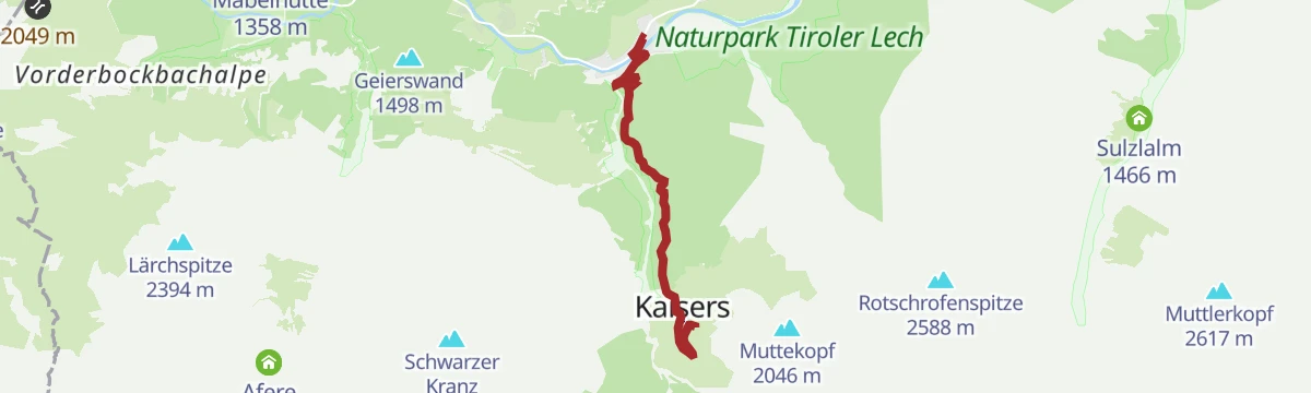
A short climb on the side road up to the hamlet of Kaisers, gaining over 400 m in five kilometres and ending by the Edelweißhaus.
- 5.1 km
- Distance
- 417 m
- Ascent
- 43 min
- Duration
- 8
- Check-ins
Gravelbike Tour 2.4 - Drei Almen Tour
A long day on forest roads and valley tracks linking three high pastures: the Postalm, the Birchetsgump Alm and the Alpe Kaisers.
- 41.4 km
- Distance
- 1 152 m
- Ascent
- 4 h 45 min
- Duration
- 16
- Check-ins
Steeg-Kaisers
A very long day on the road from the Lechtal into the Tannheimer Tal, over the Vils/Lech watershed and past the Haldensee.
- 118.1 km
- Distance
- 1 951 m
- Ascent
- 12 h 19 min
- Duration
- 76
- Check-ins
Natur- und Erlebnisweg Alpe Kaisers
Family discovery trail to the Alpe Kaisers, where hands-on stations explain forest, climate and alm life — children get to play nature detective along the way.
- 4.0 km
- Distance
- 208 m
- Ascent
- 1 h 16 min
- Duration
- 6
- Check-ins
Frederic-Simms-Hütte - Ansbacher Hütte
Hut-to-hut stage crossing the Kälberlahnzugjoch, Stierlahnzugjoch and Flarschjoch, with an optional hour-long detour to the Feuerspitze before the Ansbacher Hütte.
- 7.8 km
- Distance
- 844 m
- Ascent
- 4 h 25 min
- Duration
- 20
- Check-ins
Von Kaisers zum Hintersee
From the quiet village of Kaisers through the Kaisertal to the Kaiserjochhaus and on over the Gridlonscharte to the remote Hintersee, deep in high Lechtaler terrain.
- 8.9 km
- Distance
- 970 m
- Ascent
- 4 h 19 min
- Duration
- 14
- Check-ins
Skitour auf die Grießtaler Spitze
Begins straight from Kaisers, with a short drop into the Ober Grießtal on the way; the final slope is very steep and suits confident skiers.
- 4.3 km
- Distance
- 1 075 m
- Ascent
- 33 m
- Descent
- 2 h 51 min
- Duration
- 5
- Check-ins
Bodenalpe
A forest-road climb out of the Lechtal at Steeg, gaining height steadily to the alpine pasture on the slopes above the village.
- 9.8 km
- Distance
- 481 m
- Ascent
- 1 h 10 min
- Duration
- 3
- Check-ins
Gravelbike Tour 2.4 - Drei Almen Tour
A long gravel loop in the Lechtal linking three high pastures, from the Postalm and Birchetsgump Alm up to the Alpe Kaisers at 1,695 m.
- 41.4 km
- Distance
- 1 692 m
- Ascent
- 5 h 16 min
- Duration
- 16
- Check-ins
Kaisers - Alpe Kaisers
Easy family walk from the village toward the Alpe Kaisers past the Edelweißhaus, with a good chance of watching marmots on the open slopes.
- 4.2 km
- Distance
- 199 m
- Ascent
- 1 h 21 min
- Duration
- 5
- Check-ins
Kaisers - Kaiserjoch-Haus
Climb through the Kaisertal past the Alpe Kaisers to the Kaiserjochhaus, one of the highest-set refuges in the Lechtaler Alps, just below the Kaiserjoch.
- 6.9 km
- Distance
- 823 m
- Ascent
- 3 h 29 min
- Duration
- 18
- Check-ins
Kaisers/Boden - Leutkircher Hütte
Sustained climb from Kaisers/Boden to the Leutkircher Hütte on the crest above St. Anton, gaining over 900 m with a wide Lechtaler panorama at the top.
- 8.4 km
- Distance
- 935 m
- Ascent
- 3 h 59 min
- Duration
- 6
- Check-ins
Zur Alpe Kaisers (Kaiseralm)
A steady forest-road ascent from the Lechtal up to the pasture above the hamlet of Kaisers, roughly 600 m of climbing.
- 8.5 km
- Distance
- 584 m
- Ascent
- 1 h 6 min
- Duration
- 3
- Check-ins
Kaisers - Halden Runde
A short, easy round through Kaisers, at 1,522 m the highest-lying municipality in the Außerfern, made up of the hamlets Kienberg and Boden.
- 1.8 km
- Distance
- 45 m
- Ascent
- 33 min
- Duration
- 5
- Check-ins
Stuttgarter Hütte - Leutkircher Hütte
Opening leg of the Lechtaler Höhenweg: from the Stuttgarter Hütte over the 2,430 m Erlijoch and past the Erlachalpe below the Valluga to the Leutkircher Hütte on the Almajurjoch; the Stapfe-Tobel section is risky when wet or snowy.
- 8.7 km
- Distance
- 529 m
- Ascent
- 3 h 45 min
- Duration
- 16
- Check-ins
Bach - Ansbacher Hütte
Long valley-to-hut climb from Bach via Madau and over the Flarschjoch to the Ansbacher Hütte, with views towards the Stanzer Tal and the Verwall group.
- 17.5 km
- Distance
- 1 451 m
- Ascent
- 6 h 48 min
- Duration
- 5
- Check-ins
Zur Mahdbergalpe
A forest-road climb from the valley floor near Steeg up to the Mahdberg-Alpe at 1,825 m, about 740 m of ascent.
- 11.0 km
- Distance
- 740 m
- Ascent
- 1 h 26 min
- Duration
- 3
- Check-ins
Kaisers - Holzrinner Runde
View-rich loop through the Kaisertal from the village, past the Edelweißhaus and around the Holzrinner slopes on easy paths.
- 4.6 km
- Distance
- 186 m
- Ascent
- 1 h 33 min
- Duration
- 5
- Check-ins
Leutkircher Hütte - Stuttgarter Hütte
Hut-to-hut traverse from the Leutkircher Hütte to the Stuttgarter Hütte, crossing the Almajurjoch and Erlijoch above the Arlberg — a classic connecting stage.
- 8.7 km
- Distance
- 664 m
- Ascent
- 4 h 20 min
- Duration
- 16
- Check-ins
Kaisers - Bodenalpe
Straightforward family walk from Kaisers to the Bodenalpe, gaining about 200 m through open alpine pasture.
- 4.6 km
- Distance
- 202 m
- Ascent
- 1 h 25 min
- Duration
Ansbacher Hütte - Kaiserjochhaus
Lechtaler Höhenweg stage from the Ansbacher Hütte over the Flarschjoch and Hinterseejoch to the Kaiserjochhaus at 2,310 m, with secured passages across steep flanks.
- 8.3 km
- Distance
- 405 m
- Ascent
- 3 h 7 min
- Duration
- 14
- Check-ins
Kaisers - Hängebrücke- Rundwanderung
Loop from Kaisers that crosses the suspension bridge spanning the Kaiserbach gorge — an easy round with one memorable airy moment.
- 5.6 km
- Distance
- 274 m
- Ascent
- 2 h 1 min
- Duration
Von Steeg nach Kaisers
A steady climb from Steeg up to the mountain hamlet of Kaisers, one of the highest villages in the Lechtal, ending near the Edelweißhaus; also groomed as a winter walking route.
- 5.0 km
- Distance
- 427 m
- Ascent
- 1 h 55 min
- Duration
- 8
- Check-ins
Steeg - Hängebrückenwanderung
Round above the Kienberg quarter of Steeg whose centerpiece is a suspension bridge strung over the Kaiserbach gorge; a short climb leads to the crossing and back down the far side.
- 5.4 km
- Distance
- 257 m
- Ascent
- 1 h 54 min
- Duration
Kaisers - Hahnleskopf
A short but punchy climb from Kaisers to the Hahnleskopf, gaining 660 m in under three kilometres — a compact summit with a big outlook.
- 2.8 km
- Distance
- 660 m
- Ascent
- 2 h 23 min
- Duration
- 6
- Check-ins
Anna Stainer-Knittel Gedenkweg
A memorial trail with nine stations on the life of Anna Stainer-Knittel, the Lechtal painter behind the Geierwally legend, passing the Berggasthaus Hermine and the Saxeralm.
- 13.6 km
- Distance
- 806 m
- Ascent
- 5 h 29 min
- Duration
- 2
- Check-ins
No routes of this kind in Kaisers yet.
The region's own picks

Featured route
Valluga - Stuttgarter Hütte 2.310m
From the Vallugagrat station a high path leads across to the Stuttgarter Hütte at 2,310 m — an easy way to reach a genuine alpine hut, with the summit lifts doing the climbing.
Planning a trip to Kaisers?
Everything else Tyrol has, in one place


Take Kaisers with you into the mountains
Every route on this page with 3D terrain, GPX navigation and offline maps — including the valleys with no signal.
Data sources
- Official website: lechtal.at ↗
- Routes and highlights: Lechtal Tourismus, St. Anton am Arlberg, Tirol Werbung, Tannheimer Tal, Naturparkregion Reutte
- Published as open data by the tourist boards named above.
- Region summary generated from the board's own material.
