
 Historic site
 Cable car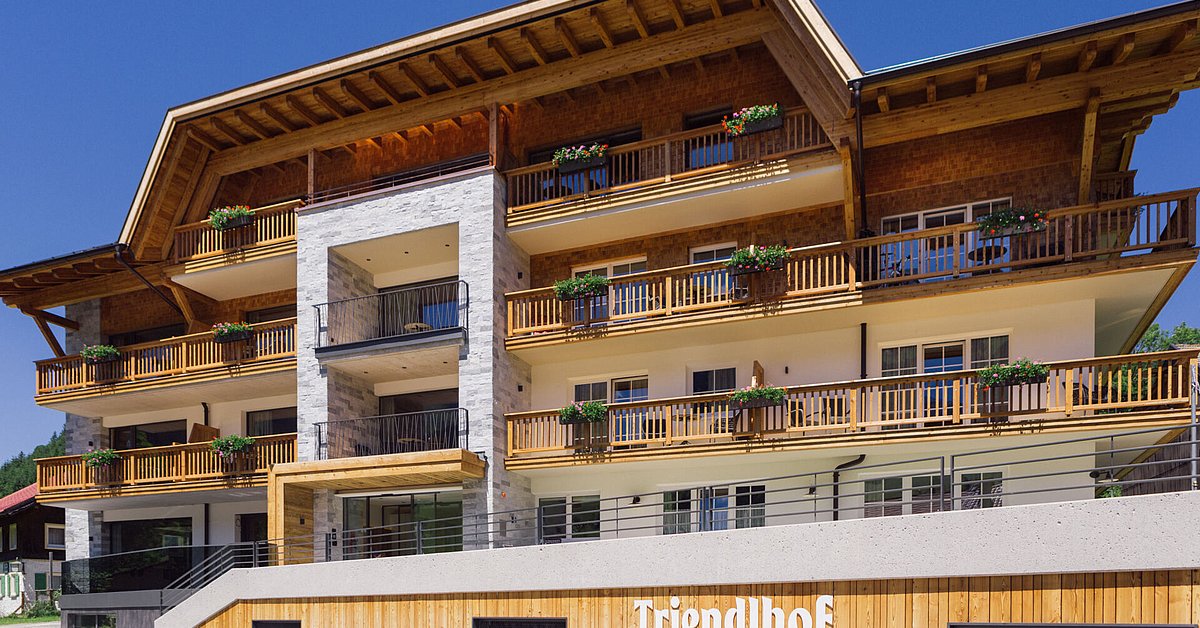
 Mountain hut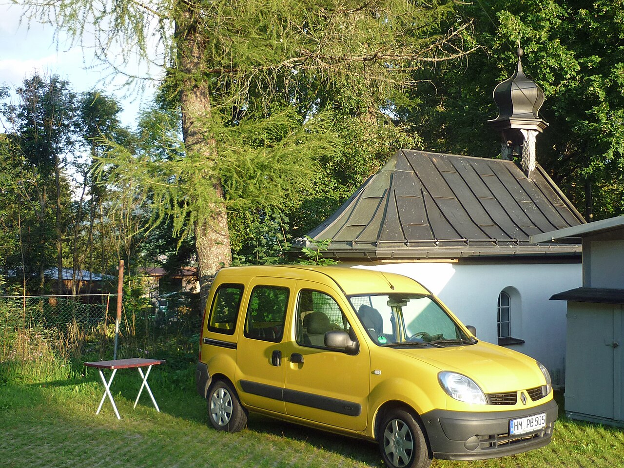













Curated by Tannheimer Tal
Jungholz
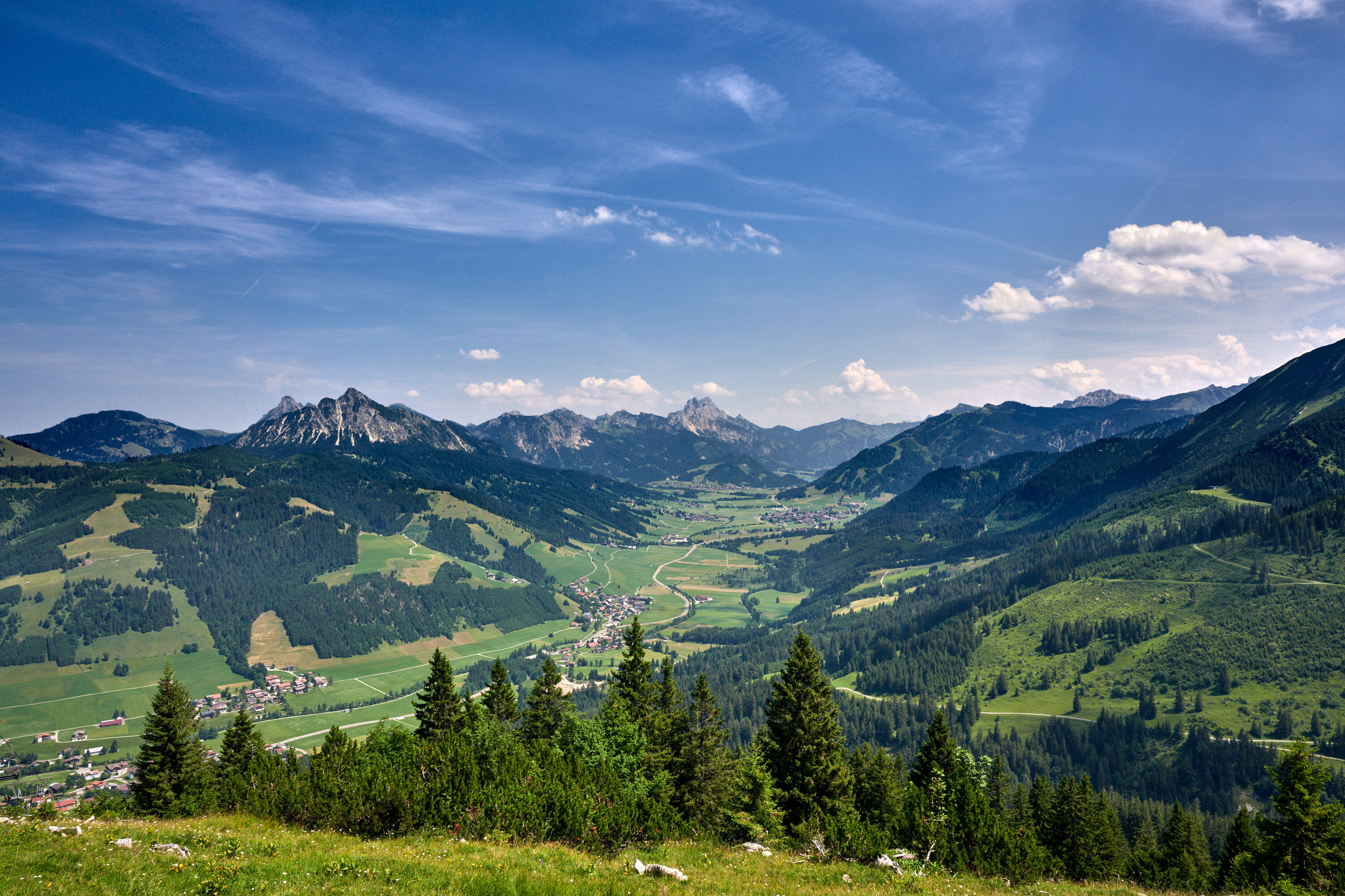
A Tyrolean pocket in the Allgäu — connected to Austria only at a single mountain point, its 300 residents reachable by road solely through Germany.
- 1Highlights
- 36Routes
- Featured summit · Wertacher Hörnle
Highlights
14 from neighbouring places
Abenteuerspielplatz "Neander-Tal" in Jungholz
An adventure playground called Neander-Tal in Jungholz, with prehistoric-themed play equipment for children in the enclave village.
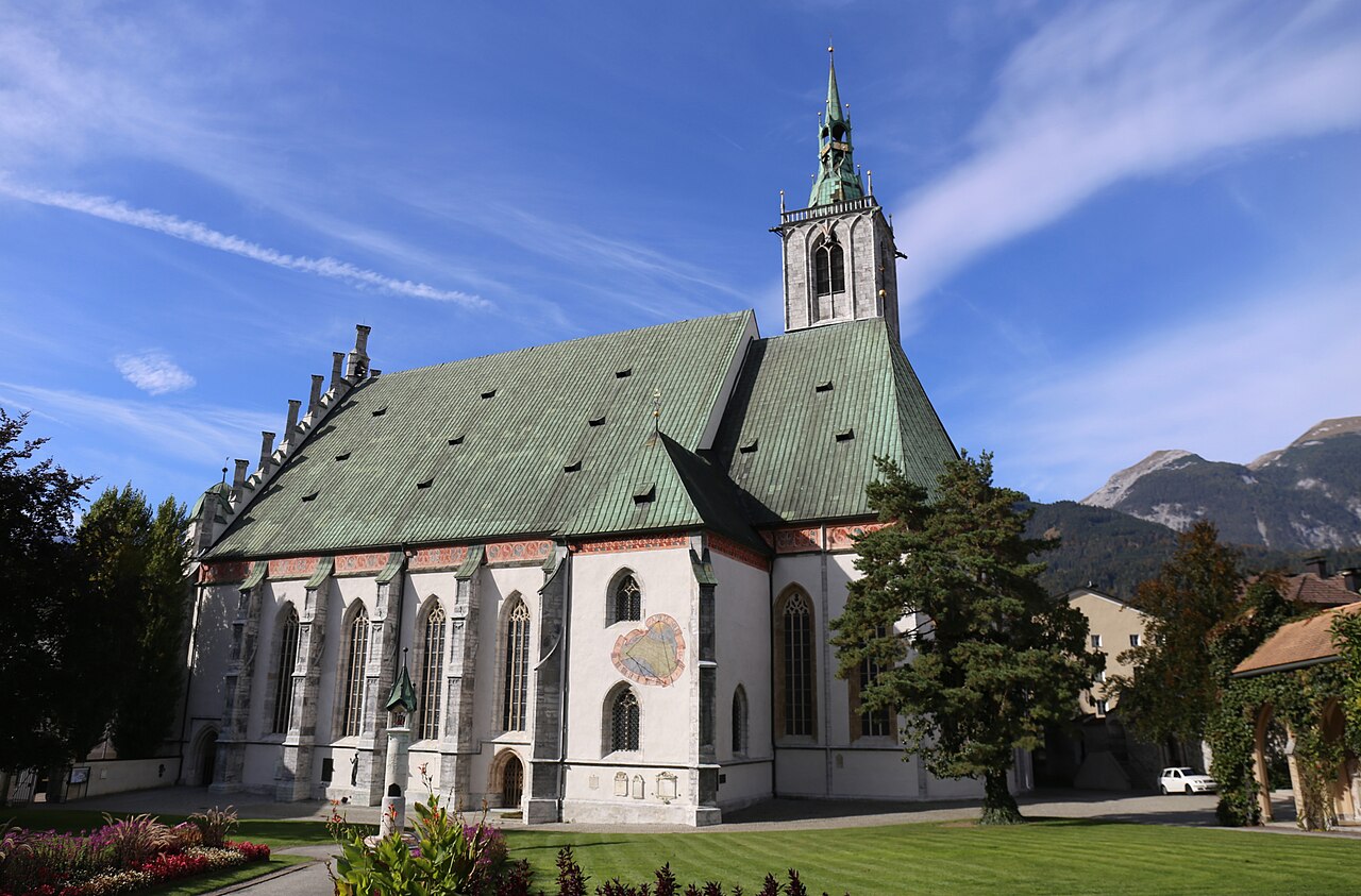
Pfarrkirche Hl. Wolfgang
6.6 km away, in Schattwald
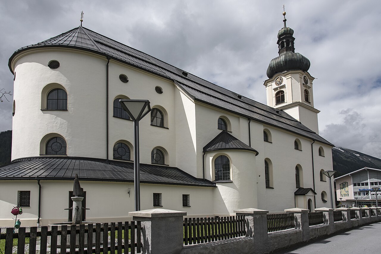
The parish church of Schattwald in the Tannheimer Tal, dedicated to St Wolfgang and the centre of the village at 1,072 m.
Bergbahnen Tannheimer Tal - Wannenjoch
7.1 km away, in Schattwald
A lift from Schattwald onto the Wannenjoch, giving access to ridge walks and ski runs on the Allgäu border above the Tannheimer Tal.
Spielplatz "Michl-Land"
7.7 km away, in Schattwald
A themed playground called Michl-Land at Schattwald, a children's play area at the western end of the Tannheimer Tal.
Wildtierbeobachtungsstand Zöblen
7.3 km away, in Zöblen
A wildlife observation stand at Zöblen in the Tannheimer Tal, set up for quietly watching deer and other game at the forest edge.
am Triendlhof
7.8 km away, in Zöblen
Farm-based holiday lodging at the Triendlhof in Zöblen, a small village on the sunny side of the Tannheimer Tal.
Spielplatz in Zöblen
7.9 km away, in Zöblen
The village playground of Zöblen at 1,087 m, a free play area for children in one of the Tannheimer Tal's smallest communities.
Bergbahnen Tannheimer Tal - Rohnenspitzbahn
8.1 km away, in Zöblen
A lift from Zöblen toward the Rohnenspitze, serving ski slopes in winter and walking terrain above the western Tannheimer Tal.
Dreifaltigkeitskapelle Kienzerle
8.3 km away, in Tannheim
A Holy Trinity chapel at Kienzerle near Tannheim, one of the wayside churches strung along the floor of the Tannheimer Tal.
Sportplatz St. Leonhard in Tannheim
8.9 km away, in Tannheim
A sports ground and play area at St Leonhard in Tannheim, used for village games and family recreation in the Tannheimer Tal.
Das Heimatmuseum
9.1 km away, in Tannheim
The local heritage museum of Tannheim, showing tools, furnishings and everyday rural life from the history of the Tannheimer Tal.
Haus Peintner
9.2 km away, in Tannheim
A guesthouse with holiday flats in Tannheim, simple hut-style lodging close to the centre of the Tannheimer Tal's main village.
Zettlerhof + Fewo Zettler
9.7 km away, in Tannheim
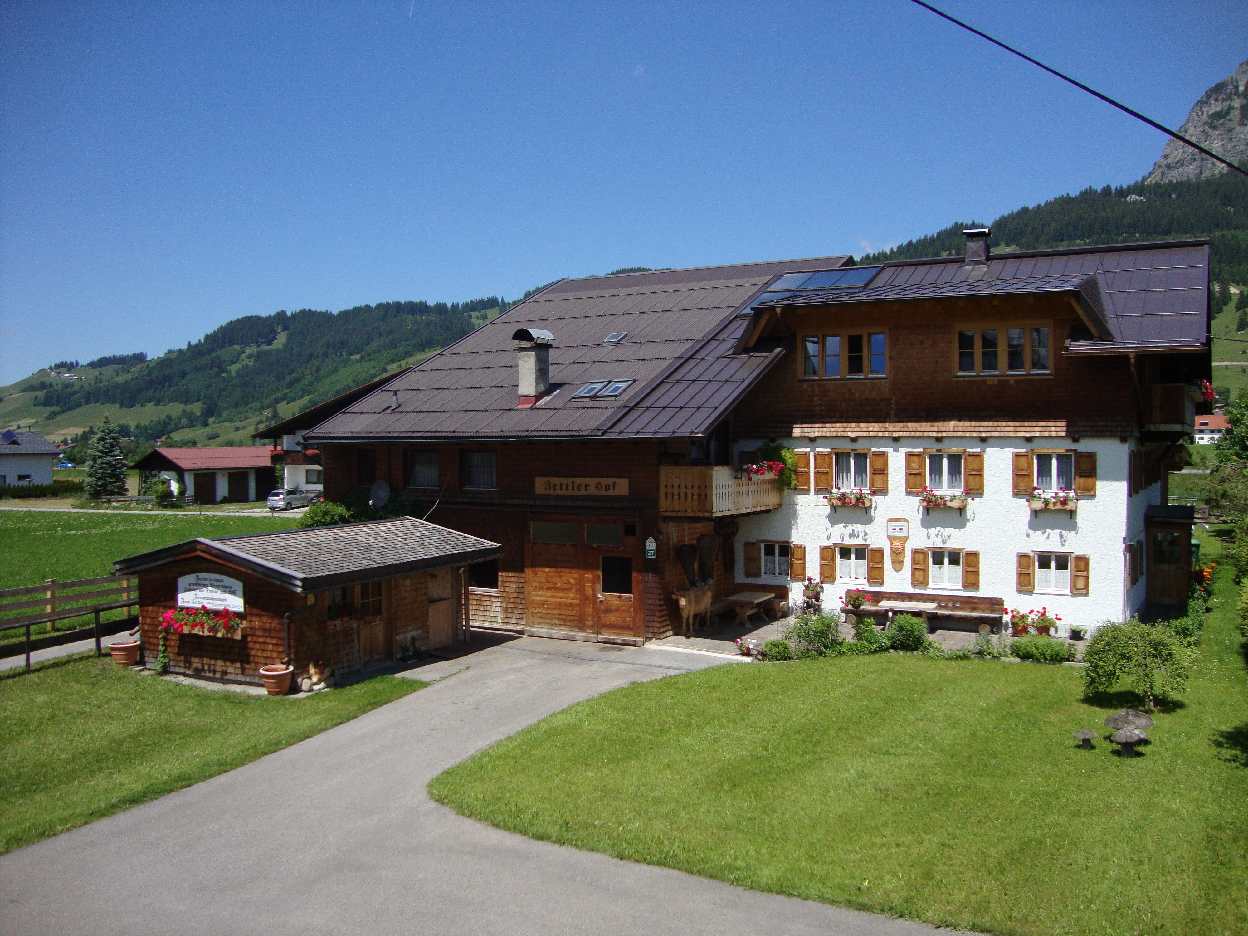
A farmhouse with holiday flats in Tannheim, offering rural self-catering accommodation on the floor of the Tannheimer Tal.
Pfarrkirche St. Nikolaus
9.9 km away, in Tannheim
The baroque parish church of Tannheim, dedicated to St Nicholas and large enough to be known locally as the cathedral of the valley.
St. Martin Kapelle
9.9 km away, in Tannheim
A chapel dedicated to St Martin between Tannheim and Grän, one of the many small churches scattered along the Tannheimer Tal.
Nothing of this kind in Jungholz.
Routes
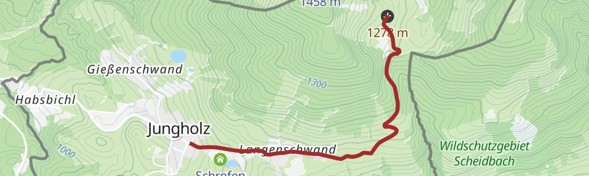
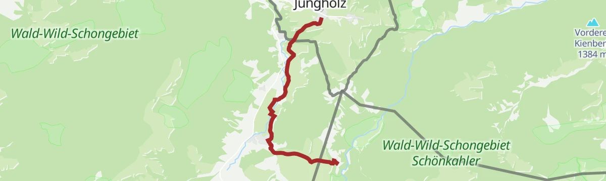
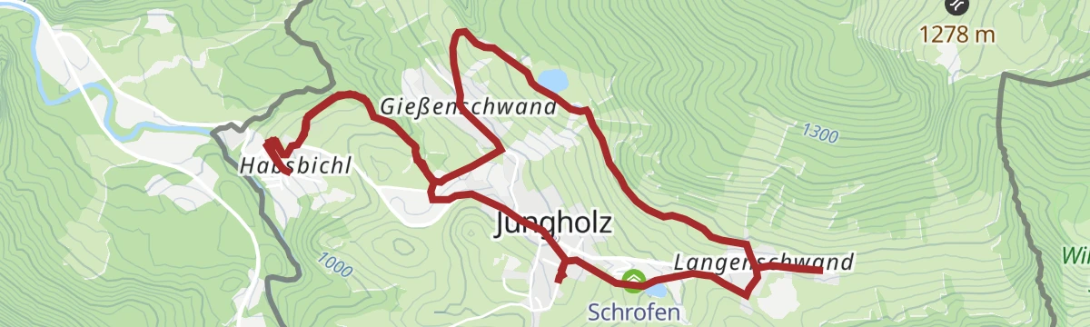
Von Jungholz zur Alpe Stubental
Short walk in the Jungholz enclave up to the Alpe Stubental, a family-friendly alm at the foot of the Sorgschrofen.
- 3.0 km
- Distance
- 232 m
- Ascent
- 1 h 30 min
- Duration
- 21
- Check-ins
Von Jungholz auf die Gundalpe in Oberjoch
A walk across the border by the Wertach and Iller watershed to Oberjoch, passing the Gund-Speichersee reservoir on the way to the Gund-Alpe.
- 9.3 km
- Distance
- 306 m
- Ascent
- 2 h 57 min
- Duration
- 60
- Check-ins
Panorama Rundwanderung Jungholz -Kappeler Alpe - Pfronten Kappel- und zurück
A long round from Jungholz over the Kellerer and the Bürstling to the Kappeler Alp and Sportheim Böck, dropping to Pfronten and back.
- 20.3 km
- Distance
- 981 m
- Ascent
- 7 h 16 min
- Duration
- 66
- Check-ins
Obere Alpe Reuterwanne
A short forest-road climb out of Jungholz, gaining most of its height in under 5 km and passing the Schrofen Hütte and Alpe Stubental.
- 4.3 km
- Distance
- 375 m
- Ascent
- 54 min
- Duration
- 21
- Check-ins
Zinkenrunde (8017)
The waymarked version of the Zinken circuit, route 8017, by the Wiedhag alp above Oberjoch.
- 32.3 km
- Distance
- 999 m
- Ascent
- 3 h 48 min
- Duration
- 117
- Check-ins
Königssträssle
A road circuit over the Oberjoch on the old Königssträssle, by way of the Alpe Weiherle.
- 71.2 km
- Distance
- 1 342 m
- Ascent
- 7 h 35 min
- Duration
- 207
- Check-ins
Von Jungholz auf die Alpe Stubental
Direct path from Jungholz up to the Alpe Stubental, a steady 230 m pull to an alm terrace below the Sorgschrofen.
- 2.8 km
- Distance
- 231 m
- Ascent
- 1 h 29 min
- Duration
- 14
- Check-ins
Reuter Wanne
Rounded grassy summit day on the Reuterwanne above Jungholz, with a stop at the Alpe Stubental — moderate climbing and open Allgäu views.
- 9.0 km
- Distance
- 485 m
- Ascent
- 3 h 28 min
- Duration
- 48
- Check-ins
Wanderung Jungholz - Kühgundspitze
A demanding climb from the village past the Hintere Wiedhag-Alpe and the Schmugglernest to the summit ridge above the Oberjochpass.
- 10.8 km
- Distance
- 993 m
- Ascent
- 6 h 12 min
- Duration
- 44
- Check-ins
Zinkenrunde
A round below the Zinken from Schattwald, crossing the Oberjoch watershed on forest roads.
- 33.1 km
- Distance
- 1 014 m
- Ascent
- 3 h 53 min
- Duration
- 100
- Check-ins
Oberjochrunde
A long road circuit from Vils over the Oberjochpass at 1,150 m, crossing the Wertach-Iller watershed and passing the Wiedhag-Alpe.
- 82.7 km
- Distance
- 1 101 m
- Ascent
- 8 h 22 min
- Duration
- 194
- Check-ins
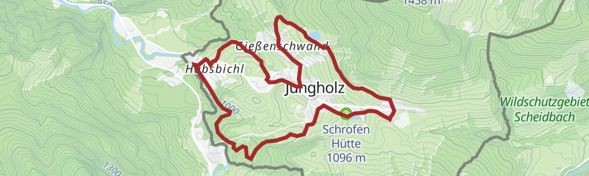
Höhenweg (Panoramaweg) Jungholz
Panorama path on Jungholz's sunny slope past the Schrofen Hütte, an easy balcony walk with benches facing the Allgäu foothills.
- 3.8 km
- Distance
- 114 m
- Ascent
- 1 h 10 min
- Duration
- 13
- Check-ins
Von Jungholz auf die Hirschalpe in Bad Hindelang
A climb from the village over the Steinpasssattel and on to the Hirsch-Alpe above Bad Hindelang, within reach of the Spieser lifts.
- 8.5 km
- Distance
- 613 m
- Ascent
- 4 h 3 min
- Duration
- 39
- Check-ins
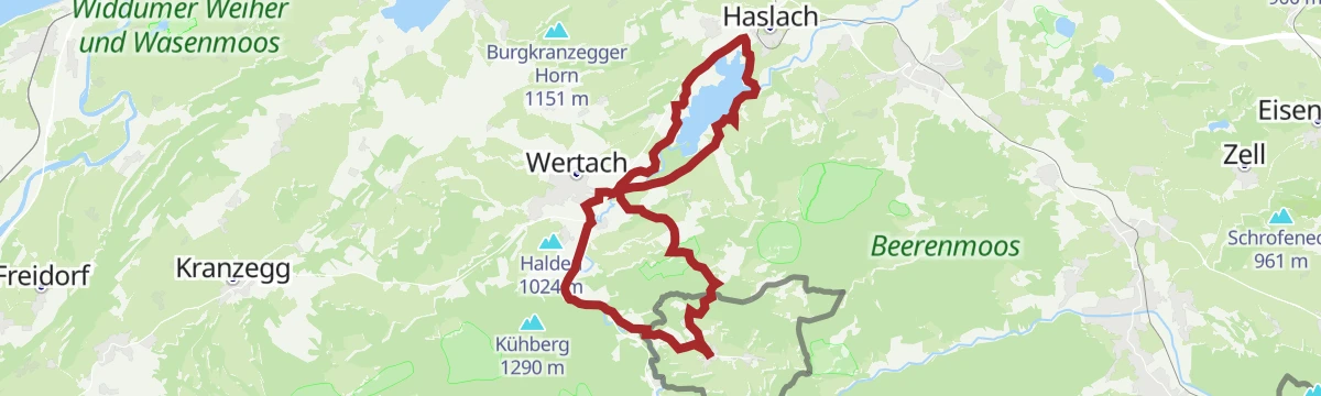
Wanderung Jungholz - Schnitzlertal Alpe in Wertach und über Unterjoch zurück
A long day out to the Alpe Schnitzlertal above Wertach, taking in the Buchel Alpe and returning by Unterjoch and the Hohlsteinhütte.
- 16.7 km
- Distance
- 780 m
- Ascent
- 5 h 50 min
- Duration
- 19
- Check-ins
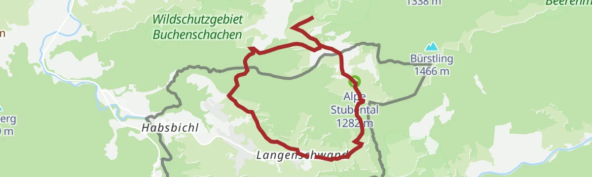
Von Jungholz über die Buronhütte zur Alpe Stubental
A short climb from Jungholz by the Buronhütte to the Alpe Stubental at 1,282 m.
- 16.5 km
- Distance
- 549 m
- Ascent
- 1 h 59 min
- Duration
- 28
- Check-ins
Grüntenrunde
A long circuit from the Tannheimer Tal over the Oberjoch pass and round the foot of the Grünten.
- 81.6 km
- Distance
- 1 247 m
- Ascent
- 8 h 25 min
- Duration
- 185
- Check-ins
Rundkurs Höhenweg in Jungholz
Signed loop on Jungholz's panorama slope by the Schrofen Hütte, gentle enough for families yet open enough for steady mountain views.
- 3.7 km
- Distance
- 116 m
- Ascent
- 1 h 9 min
- Duration
- 13
- Check-ins
Jungholz - Ifenblick - Wanderrunde
A circuit out of Jungholz over the Wertach and Iller watershed and past the Hintere Sorgalpe to the Ifenblick lookout.
- 9.8 km
- Distance
- 376 m
- Ascent
- 3 h 14 min
- Duration
- 38
- Check-ins
Jungholz rund um den Grüntensee und zurück
A long, low-lying round from Jungholz down to the Grüntensee, working around the lake past the Seehaus and the campsites before the climb back.
- 22.5 km
- Distance
- 469 m
- Ascent
- 6 h 25 min
- Duration
- 18
- Check-ins
Radrunde von Jungholz zum Rottachsee – Schwarzenberger Weiher
A round from the Jungholz enclave out to the Rottachsee and the Schwarzenberger Weiher.
- 50.9 km
- Distance
- 1 021 m
- Ascent
- 5 h 29 min
- Duration
- 7
- Check-ins
GrenzenLoser Radspaß Bad Hindelang Tannheimer Tal
A long day on the road between the Tannheimer Tal and Bad Hindelang, crossing the border at Oberjoch and the Wertach/Iller watershed.
- 116.5 km
- Distance
- 2 351 m
- Ascent
- 12 h 33 min
- Duration
- 181
- Check-ins
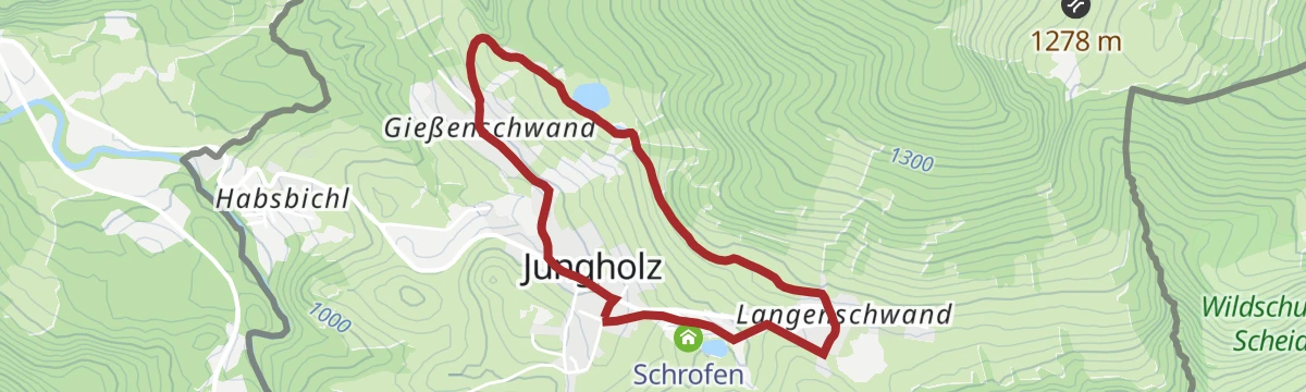
Jungholzer Rundweg
Easygoing village loop around Jungholz, the small Tirolean enclave reachable by road only through Bavaria — a short round from the tourist office.
- 4.8 km
- Distance
- 183 m
- Ascent
- 1 h 35 min
- Duration
- 11
- Check-ins
Bergtour über den Sorgschrofen und Zinken
A two-summit mountain walk from Jungholz, climbing past the Schrofen Hütte to the crest and dropping back to the village.
- 11.6 km
- Distance
- 812 m
- Ascent
- 5 h 24 min
- Duration
- 35
- Check-ins
Von Jungholz zum Hotel Rehbach (Schattwald)
An easy, almost level walk from Jungholz across to the neighbouring village of Schattwald, enough for a short half day.
- 6.6 km
- Distance
- 154 m
- Ascent
- 1 h 55 min
- Duration
- 9
- Check-ins
Von Jungholz auf das Wertacher Hörnle
A steady climb out of the village past the Hohlsteinhütte to the summit of the Wertacher Hörnle, a solid half-day outing.
- 8.4 km
- Distance
- 838 m
- Ascent
- 5 h 10 min
- Duration
- 29
- Check-ins
Winterwanderung von Jungholz über die Sorg Alpen
An easy winter walk from the village out to the Hintere Sorgalpe and back again, with very little climbing along the way.
- 4.7 km
- Distance
- 182 m
- Ascent
- 1 h 34 min
- Duration
- 9
- Check-ins
Von Jungholz auf den Edelsberg
From Jungholz up to the Schrofen Hütte and on over the Edelsberg to the Bürstling, two easy grassy summits on the Allgäu border ridge.
- 5.4 km
- Distance
- 574 m
- Ascent
- 3 h 29 min
- Duration
- 25
- Check-ins
Winterwanderung von Jungholz auf den Edelsberg
Winter walking route from Jungholz over the Edelsberg and Bürstling, following the packed track past the Schrofen Hütte to sunny ridge-top viewpoints.
- 5.3 km
- Distance
- 575 m
- Ascent
- 3 h 29 min
- Duration
- 25
- Check-ins
Schnitzerweg - Alpe Stubental - Panorama Höhenweg
A varied circuit above Jungholz combining a woodcarving-themed trail, a hut stop at the Alpe Stubental and a balcony path with views across the Tannheim hills.
- 8.1 km
- Distance
- 278 m
- Ascent
- 2 h 35 min
- Duration
- 21
- Check-ins
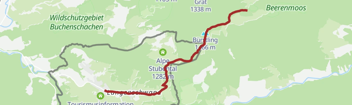
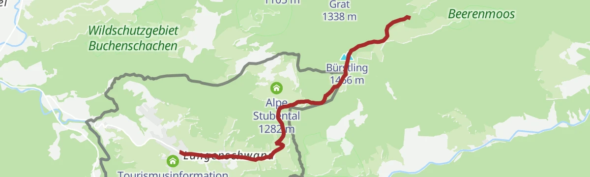
Von Jungholz zur Bärenmoosalpe in Pfronten
A walk over the Himmelreich saddle towards Pfronten, passing the Schrofen Hütte and finishing at the Bärenmoosalpe dairy.
- 8.0 km
- Distance
- 482 m
- Ascent
- 3 h 20 min
- Duration
- 21
- Check-ins
Von Jungholz auf den Pfeifferberg
Steady round from Jungholz to the Pfeifferberg, passing the Alpe Stubental and the Schrofen Hütte — modest gradients and long stretches of open pasture.
- 10.5 km
- Distance
- 470 m
- Ascent
- 3 h 37 min
- Duration
- 20
- Check-ins
Winterwanderung von Jungholz auf den Pfeifferberg
Winter route to the Pfeifferberg from Jungholz, on packed snow tracks past the Alpe Stubental and the Schrofen Hütte.
- 10.5 km
- Distance
- 464 m
- Ascent
- 3 h 37 min
- Duration
- 20
- Check-ins
Rund um den Sorgschrofen
A circuit right around the mountain from Jungholz, linking the Schrofen Hütte, the Kalbelehof Alpe and the Rehbach hamlet without much height gain.
- 14.5 km
- Distance
- 452 m
- Ascent
- 4 h 31 min
- Duration
- 18
- Check-ins
Buchstabenweg Jungholz
Family loop around Jungholz where letter stations mark the way for children, passing the Schrofen Hütte on moderate paths.
- 7.4 km
- Distance
- 228 m
- Ascent
- 2 h 17 min
- Duration
- 17
- Check-ins
Jungholzer Dorfrunde
A longer village round above Jungholz taking in the Schrofen Hütte, mixing quiet lanes, pasture and forest edge on rolling terrain.
- 7.5 km
- Distance
- 275 m
- Ascent
- 2 h 26 min
- Duration
- 17
- Check-ins
Winterwanderung Jungholz - Reuterwanne- Stubental Alpe und zurück
Winter walk from Jungholz below the Reuterwanne to the Alpe Stubental and back the same way — a steady climb on a maintained snow track.
- 7.9 km
- Distance
- 470 m
- Ascent
- 3 h 16 min
- Duration
- 8
- Check-ins
No routes of this kind in Jungholz yet.
The region's own picks
Featured route
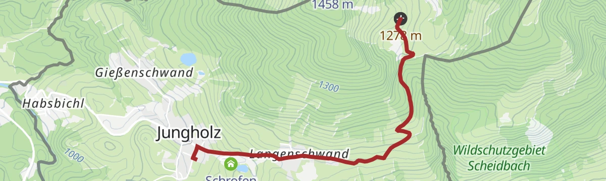
Von Jungholz zur Alpe Stubental
Short walk in the Jungholz enclave up to the Alpe Stubental, a family-friendly alm at the foot of the Sorgschrofen.
Planning a trip to Jungholz?
Everything else Tyrol has, in one place


Take Jungholz with you into the mountains
Every route on this page with 3D terrain, GPX navigation and offline maps — including the valleys with no signal.
Data sources
- Official website: tannheimertal.com ↗
- Routes and highlights: Tannheimer Tal
- Published as open data by the tourist boards named above.
- Region summary generated from the board's own material.
