
 Historic site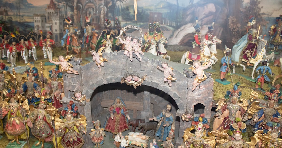
 Mountain hut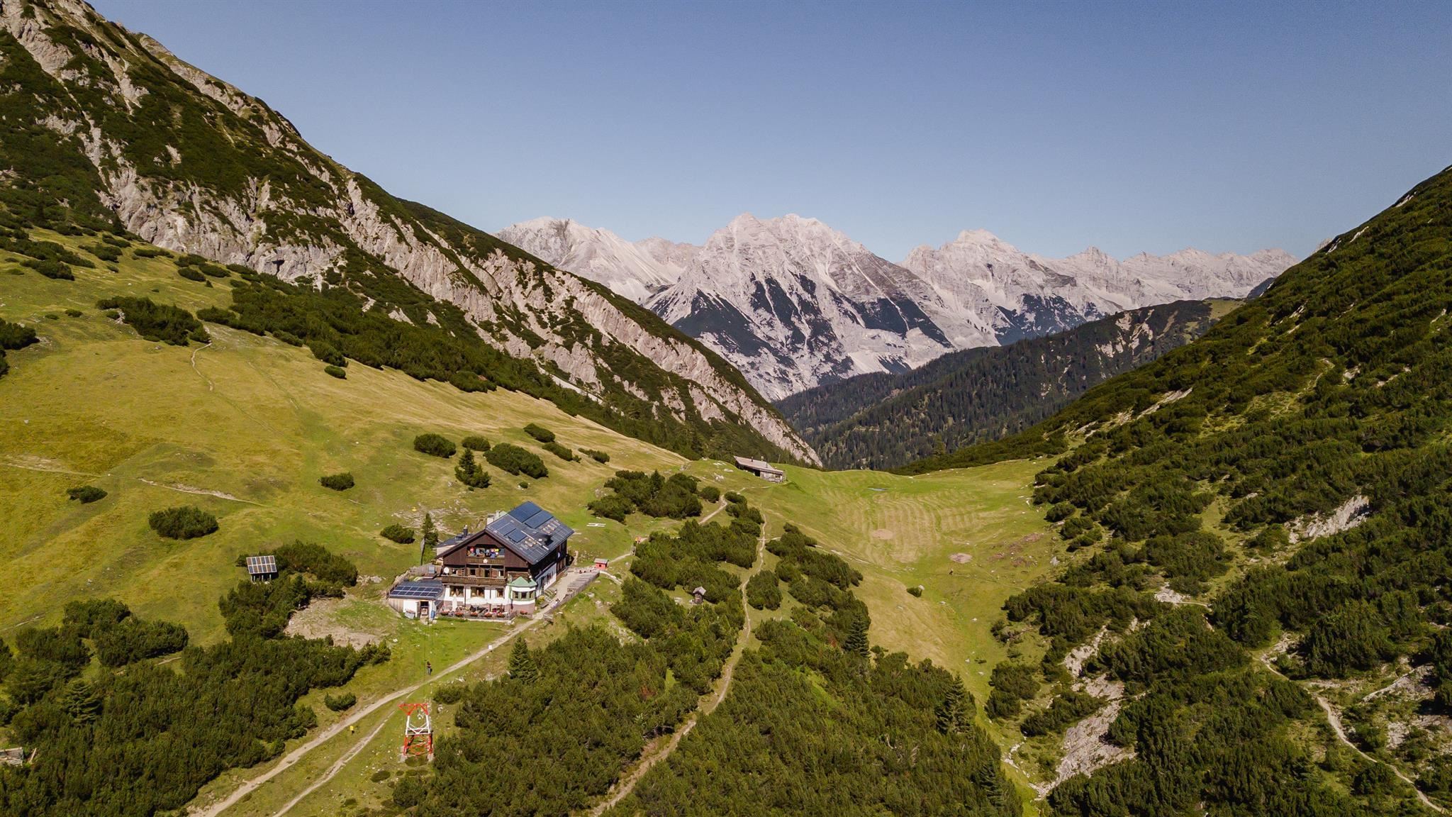


Curated by Innsbruck Tourismus
Inzing
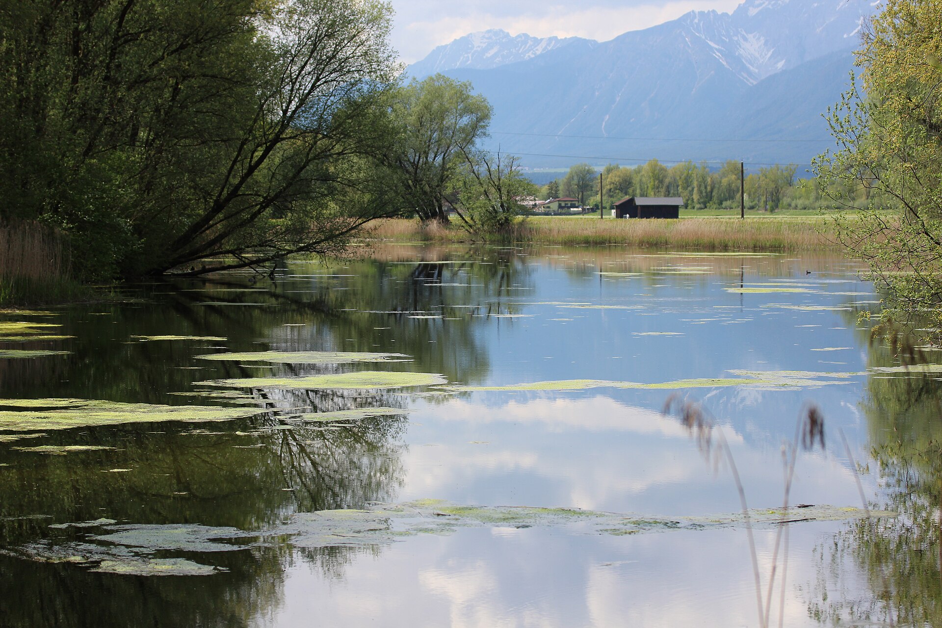
An Inn valley village of about 4000 people west of Innsbruck, fields along the river and the Inzinger Alm high on the slope toward the Stubai Alps.
- 15Highlights
- 13Routes
- Featured summit · Rauher Kopf
Highlights
All 15 from neighbouring places
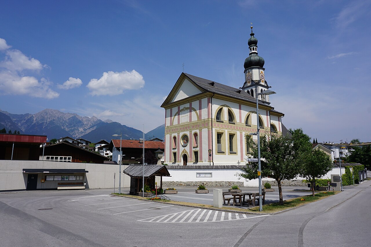
Pfarrkirche Ranggen
3.3 km away, in Ranggen
The parish church of Ranggen (826 m), the landmark of a small farming village in the hills west of Innsbruck.
Heimat- und Krippenmuseum Zirl
6.3 km away, in Zirl
Zirl's local heritage museum, pairing village history with a collection of Christmas nativity scenes from the region.
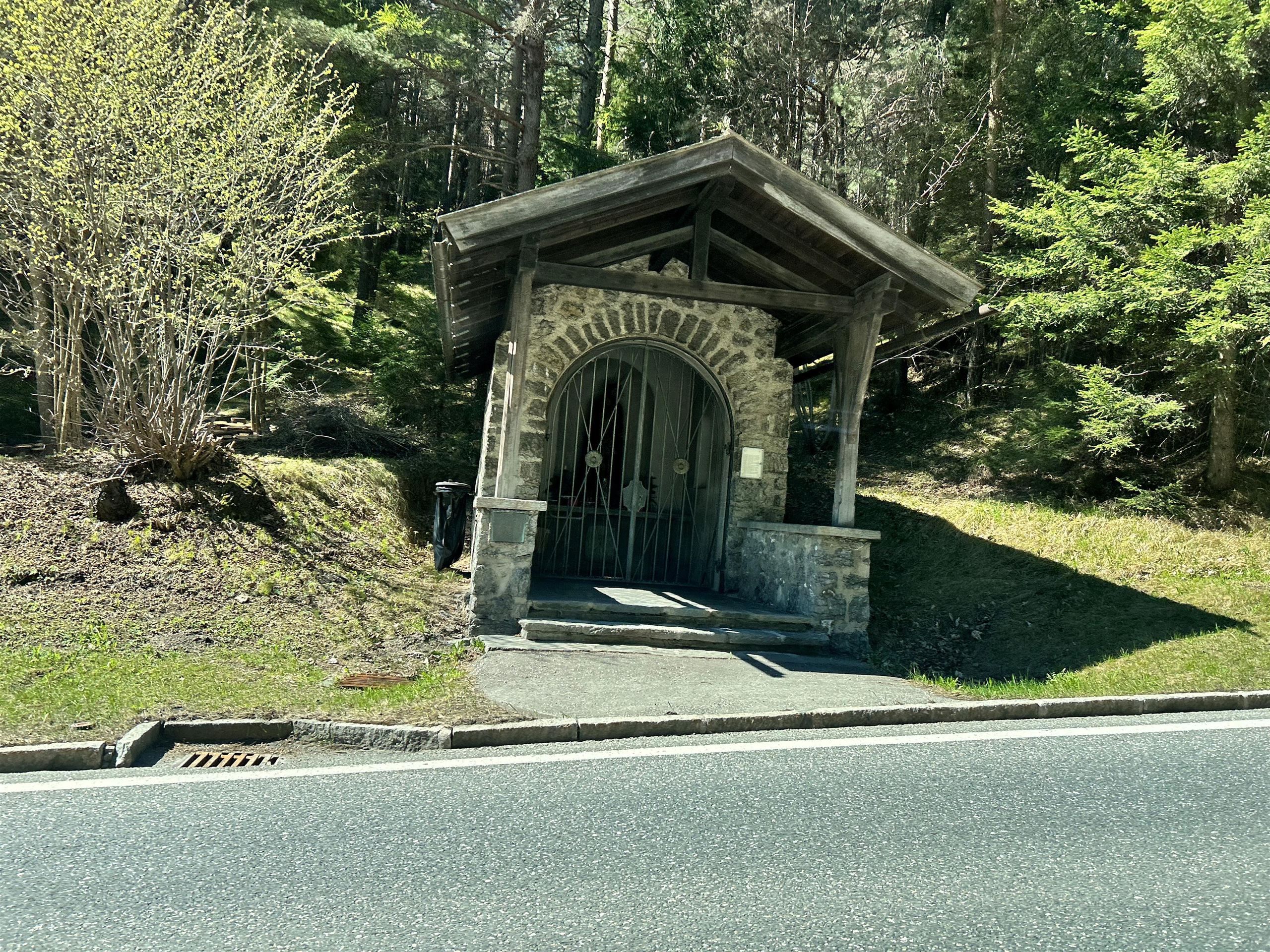
Absetzkapelle oder Osötz Kapelle
6.3 km away, in Zirl
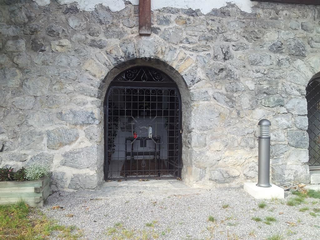
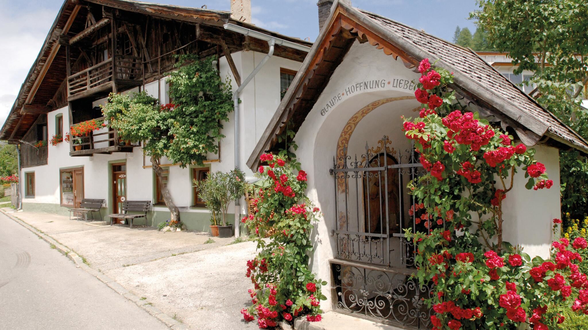
A wayside chapel near Reith bei Seefeld, known as the Absetzkapelle or Osötz Kapelle, on an old path above the Inn valley.
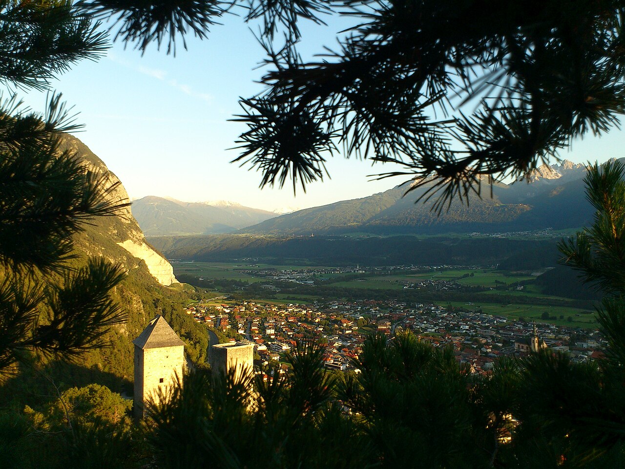
Ruine Fragenstein
6.3 km away, in Zirl
The ruin of a medieval castle on the slope above Zirl (622 m), whose remaining tower and walls overlook the Inn valley.
Kalvarienbergkirche
6.9 km away, in Zirl
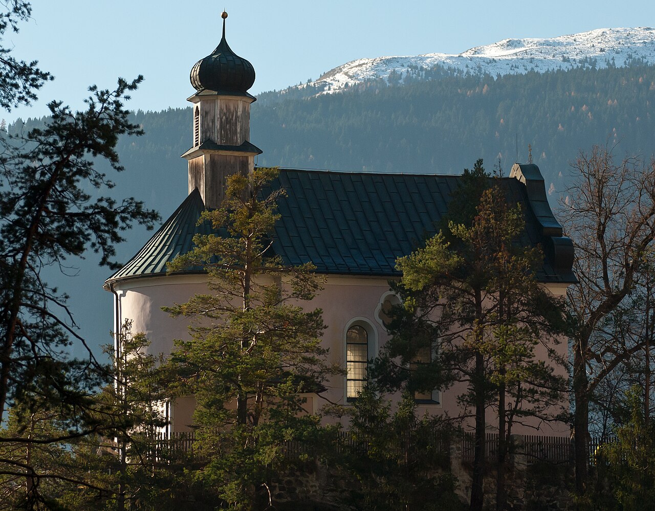
A calvary church on a knoll above Zirl (622 m), the endpoint of a stations-of-the-cross path with views over the Inn valley.
Schlossbachklamm
7.3 km away, in Zirl
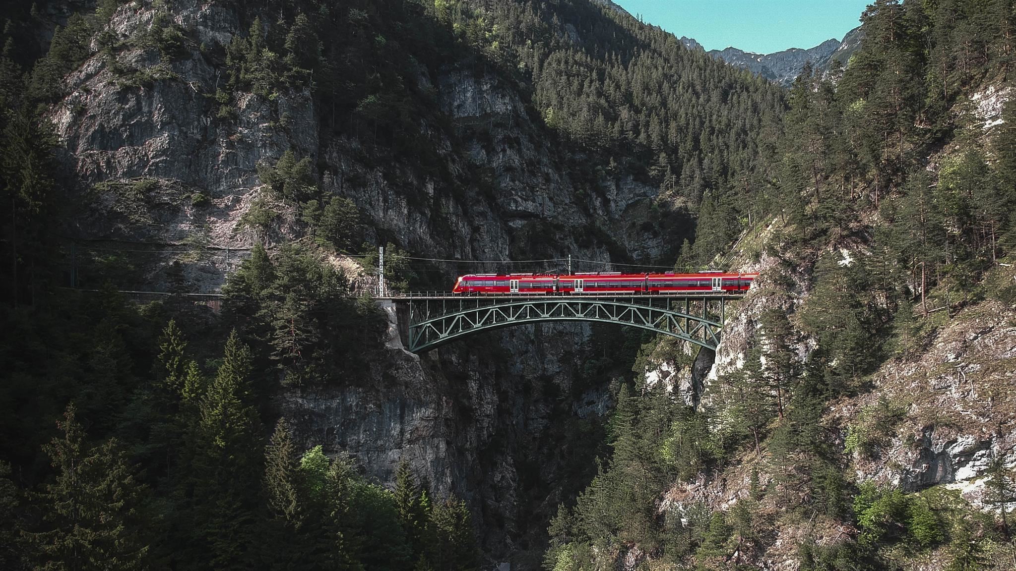
A wooded gorge near Reith bei Seefeld where the Schlossbach falls toward the Inn valley, spanned by a bridge of the Mittenwald railway.
Gasthof Ruetz
7.4 km away, in St. Sigmund im Sellrain
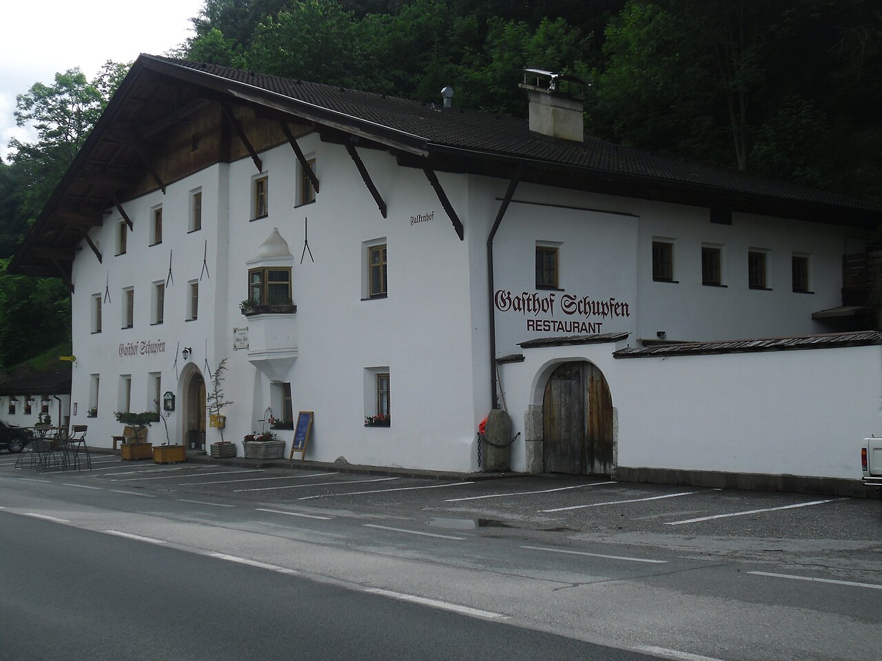
A traditional inn at St. Sigmund im Sellrain, a refreshment and overnight stop for walkers and ski tourers in the Sellrain valley.
Solsteinhaus
11.2 km away, in Zirl
An Alpine Club hut at about 1,800 m below the Erlspitze and Solstein summits, reached from Scharnitz, Gießenbach or Zirl.
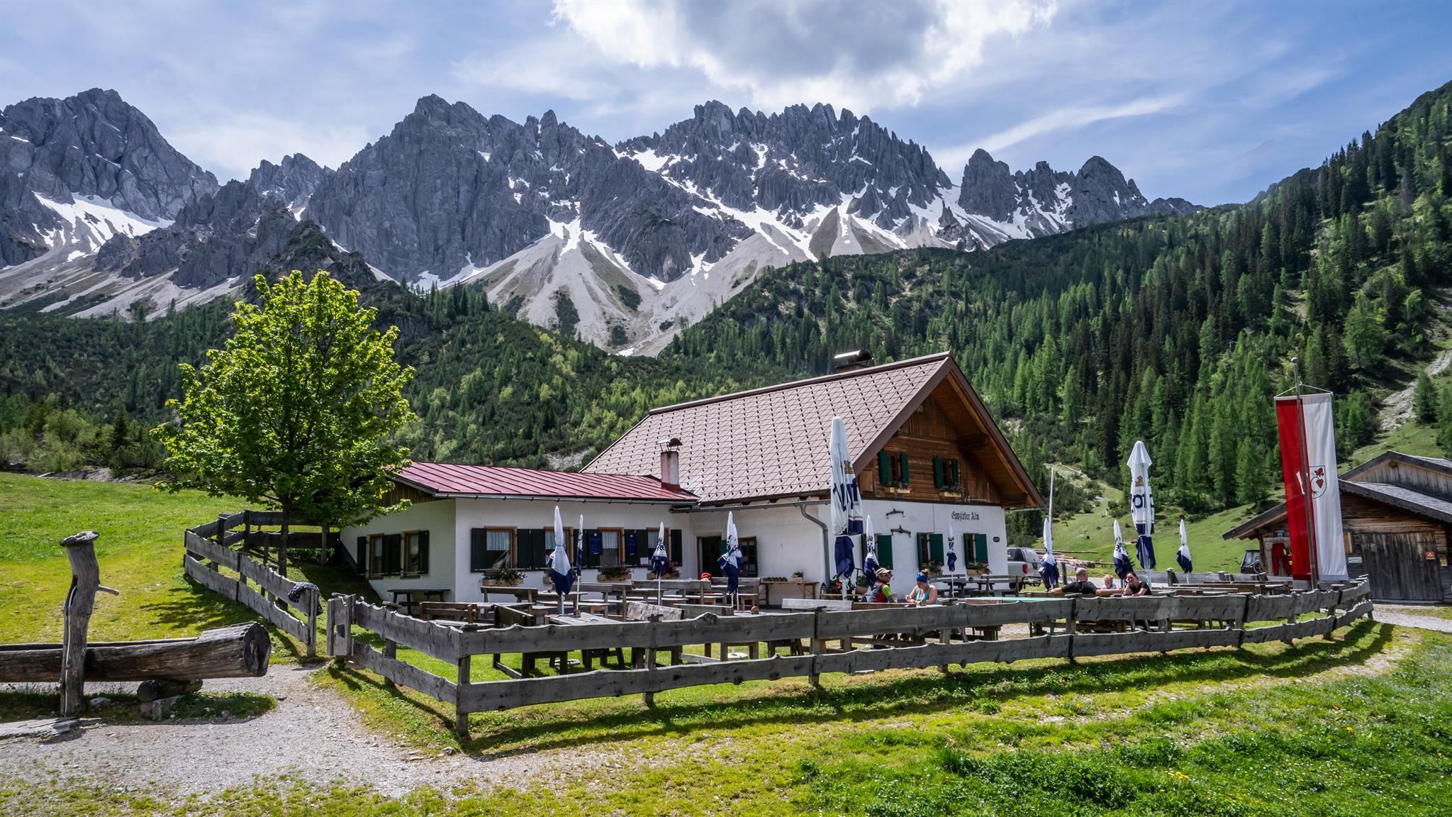
Eppzirler Alm
11.7 km away, in Zirl
An alm in the Eppzirler Tal, a quiet Karwendel side valley above Scharnitz and Gießenbach, serving walkers below the Erlspitze group.
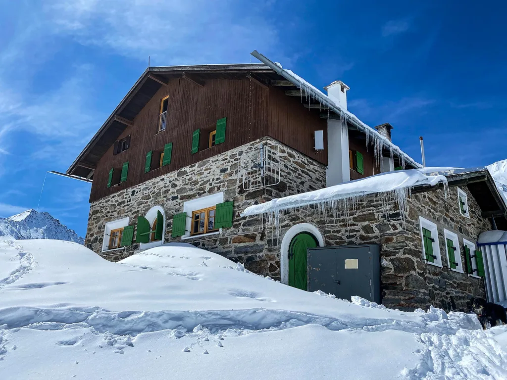
Pforzheimer Hütte
12.8 km away, in St. Sigmund im Sellrain
An Alpine Club hut in the Gleirsch valley above St. Sigmund im Sellrain, a base for summit tours and ski touring in the Stubai Alps.
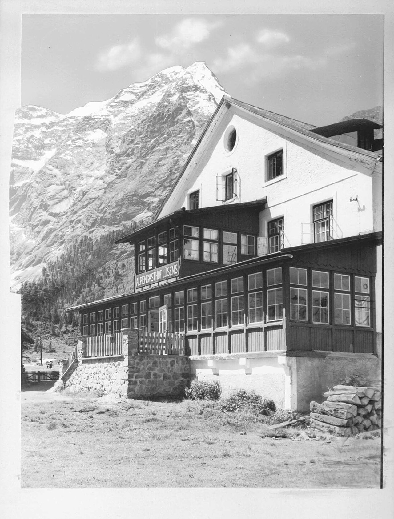
Alpengasthof Lüsens
13.5 km away, in St. Sigmund im Sellrain
An alpine inn at Lüsens in the innermost Sellrain valley above St. Sigmund, a traditional base for walks and ski tours toward the Lüsener Fernerkogel.
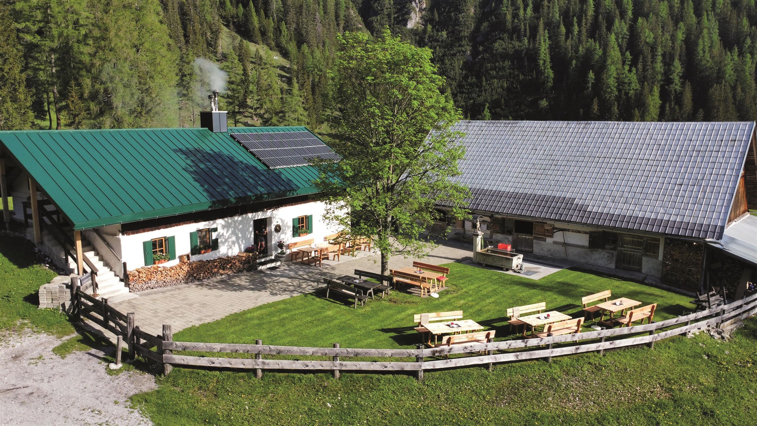
Kristenalm
13.9 km away, in Zirl
An alm in the Karwendel valleys south-east of Scharnitz, a stop on the gravel tracks used by walkers and mountain bikers.
Lourdesgrotte in Reith
6 km away, in Reith bei Seefeld
A Lourdes grotto near Reith bei Seefeld, a rock shrine to the Virgin Mary built in the manner of the French original.
Rosenkapelle (Nikolauskapelle) in Reith
6 km away, in Reith bei Seefeld
A small chapel in Reith bei Seefeld, also known as the Nikolauskapelle, one of several wayside chapels around the village.
St. Magnus Kapelle
6 km away, in Reith bei Seefeld
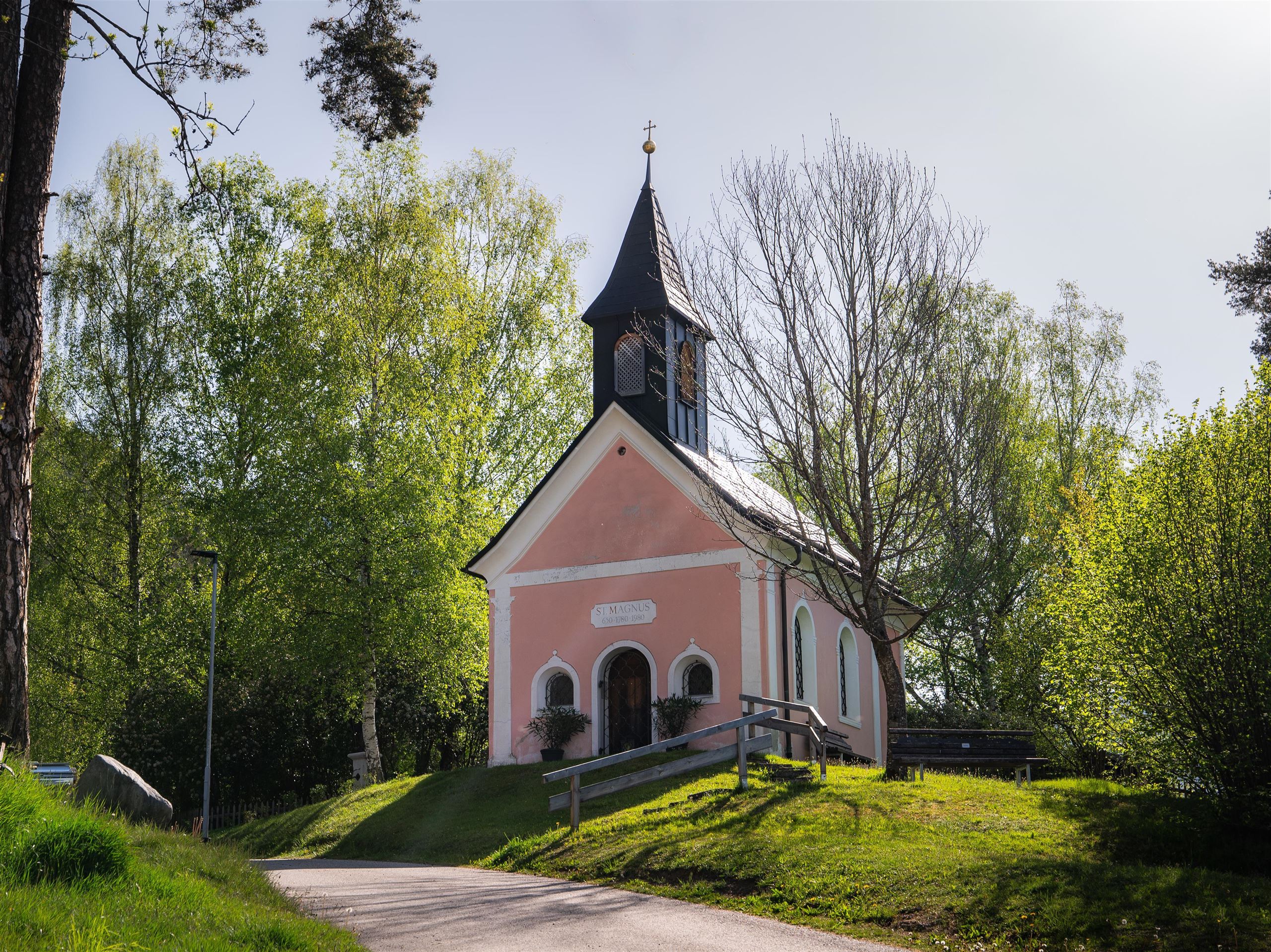
A chapel dedicated to St Magnus in Reith bei Seefeld, a quiet devotional site at 1,130 m on the southern Seefeld plateau.
Nothing of this kind in Inzing.
Routes
Oberperfuss - Stiglreith - Hundstalsee
Hike from Oberperfuss over Stieglreith and the Krimpenbachsattel to the Hundstalsee, a high mountain lake with the Morettihütte close to its shore.
- 13.2 km
- Distance
- 816 m
- Ascent
- 5 h 37 min
- Duration
- 12
- Check-ins
Peter-Anich-Höhensteig
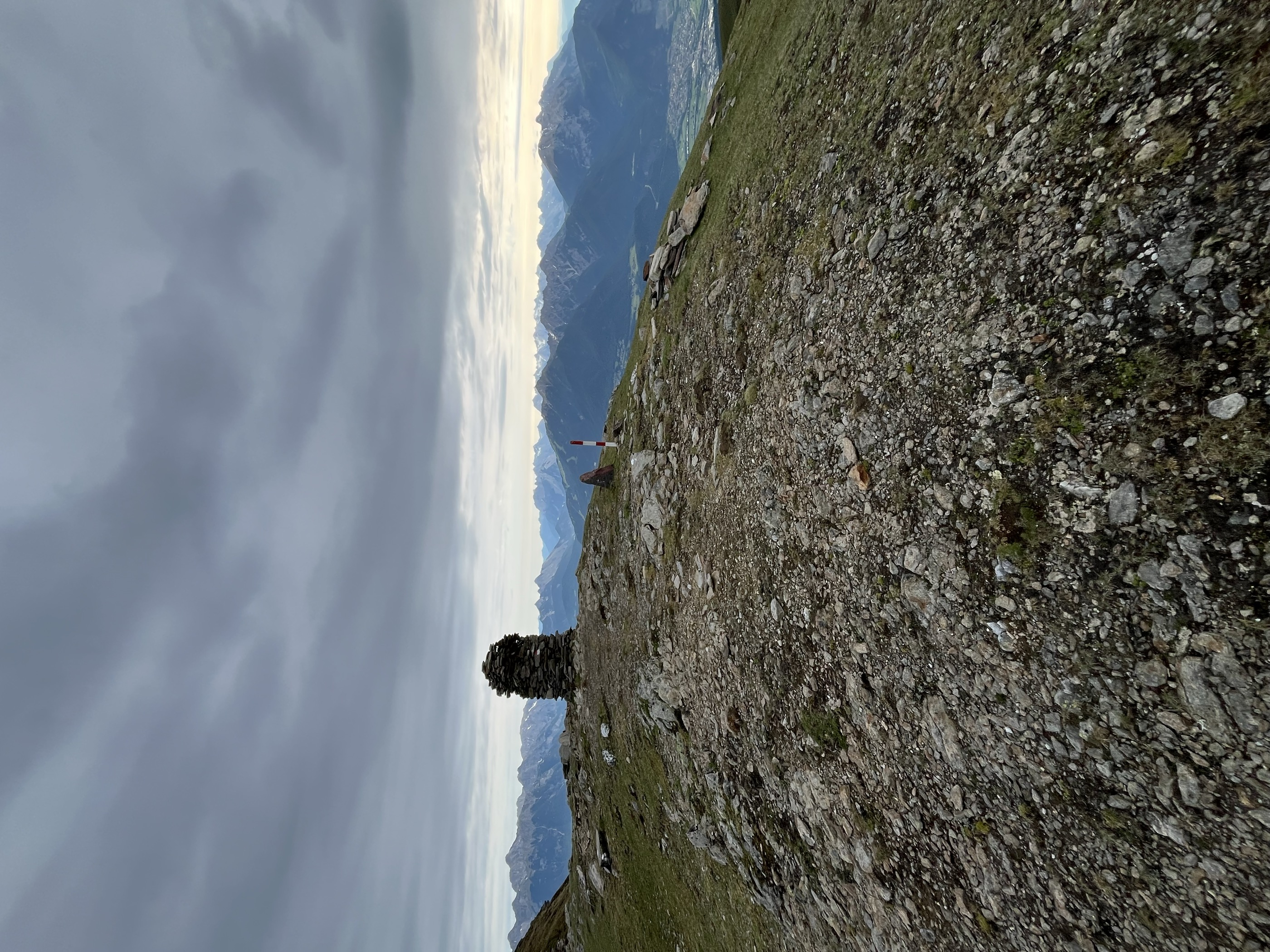
Big day-long traverse above Oberperfuss and Inzing over the Rauher Kopf, linking the Roßkogelhütte, Inzinger Alm and Peter-Anich-Hütte with more than 2,000 m of total climbing.
- 22.0 km
- Distance
- 2 114 m
- Ascent
- 13 h 7 min
- Duration
- 25
- Check-ins
Innsbruck - Mösern - Seefeld
A long road day from the Inn valley onto the plateau at Mösern, continuing through the Leutasch past the Seewaldalm and the Kreithalm.
- 88.7 km
- Distance
- 1 388 m
- Ascent
- 9 h 11 min
- Duration
- 34
- Check-ins
Sellraintaler Höhenwanderweg
High traverse along the Sellrain's sunny side from the Roßkogelhütte over the Krimpenbachsattel to the Sonnberg Alm, holding altitude between huts for 15 km.
- 14.2 km
- Distance
- 900 m
- Ascent
- 6 h 9 min
- Duration
- 12
- Check-ins
Stiegelreith - Hundstalsee
Long mountain hike from Stieglreith over the Krimpenbachsattel to the Hundstalsee and the Morettihütte at its shore, returning by the same high route.
- 16.2 km
- Distance
- 907 m
- Ascent
- 6 h 25 min
- Duration
- 5
- Check-ins
Von Innsbruck aufs Mieminger Plateau und retour
An 80 km out-and-back from Innsbruck down the Inn past Kranebitten and Hatting, then up onto the Mieminger Plateau.
- 79.5 km
- Distance
- 774 m
- Ascent
- 7 h 47 min
- Duration
- 6
- Check-ins
Hundstalsee
Climb past the Inzinger Alm into the Hundstal to its mountain tarn, with the Morettihütte perched nearby — a rewarding half-day with 650 m of ascent.
- 6.8 km
- Distance
- 649 m
- Ascent
- 4 h 2 min
- Duration
- 4
- Check-ins
Rauher Kopf ab Hattingerberg
Steep, quiet route from Hattingerberg over the Archbrandköpfl to the Rauher Kopf, past the Archbrandhütte — over 1,400 m of climbing without lift help.
- 20.2 km
- Distance
- 1 417 m
- Ascent
- 9 h 25 min
- Duration
- 4
- Check-ins
Dörferrunde von Innsbruck nach Telfs
A village-to-village road tour down the Inn valley from Innsbruck to Telfs, past Kranebitten and the Schleicherplatten climbing crag.
- 68.3 km
- Distance
- 789 m
- Ascent
- 6 h 48 min
- Duration
- 4
- Check-ins
Themenweg Inzing
Themed round above Inzing with information stops along the way, rolling through fields and forest on the sunny terrace over the Inntal.
- 7.9 km
- Distance
- 384 m
- Ascent
- 2 h 50 min
- Duration
Inzing - Inzinger Alm
Long forest ascent from Inzing to the Inzinger Alm, passing the Knappenhütte on the way — a full-day out-and-back with about 1,000 m of climbing above the Inntal.
- 18.1 km
- Distance
- 1 010 m
- Ascent
- 7 h 9 min
- Duration
- 2
- Check-ins
Genuss-Radweg Inntal
A valley cycle path along the Inn between Innsbruck and Mötz, running through Hatting, Telfs and Stams on the flat valley floor.
- 110.0 km
- Distance
- 607 m
- Ascent
- 10 h 19 min
- Duration
Peter-Anich-Weg
Long mid-mountain traverse in the footsteps of the cartographer Peter Anich, running high above the Inn valley villages for 21 km with modest overall climbing.
- 21.3 km
- Distance
- 676 m
- Ascent
- 6 h 39 min
- Duration
No routes of this kind in Inzing yet.
The region's own picks

Featured route
Oberperfuss - Stiglreith - Hundstalsee
Hike from Oberperfuss over Stieglreith and the Krimpenbachsattel to the Hundstalsee, a high mountain lake with the Morettihütte close to its shore.
Planning a trip to Inzing?
Everything else Tyrol has, in one place


Take Inzing with you into the mountains
Every route on this page with 3D terrain, GPX navigation and offline maps — including the valleys with no signal.
Data sources
- Official website: innsbruck.info ↗
- Routes and highlights: Innsbruck Tourismus, Region Seefeld
- Published as open data by the tourist boards named above.
- Region summary generated from the board's own material.
