
Curated by Mostviertel
Inzersdorf-Getzersdorf
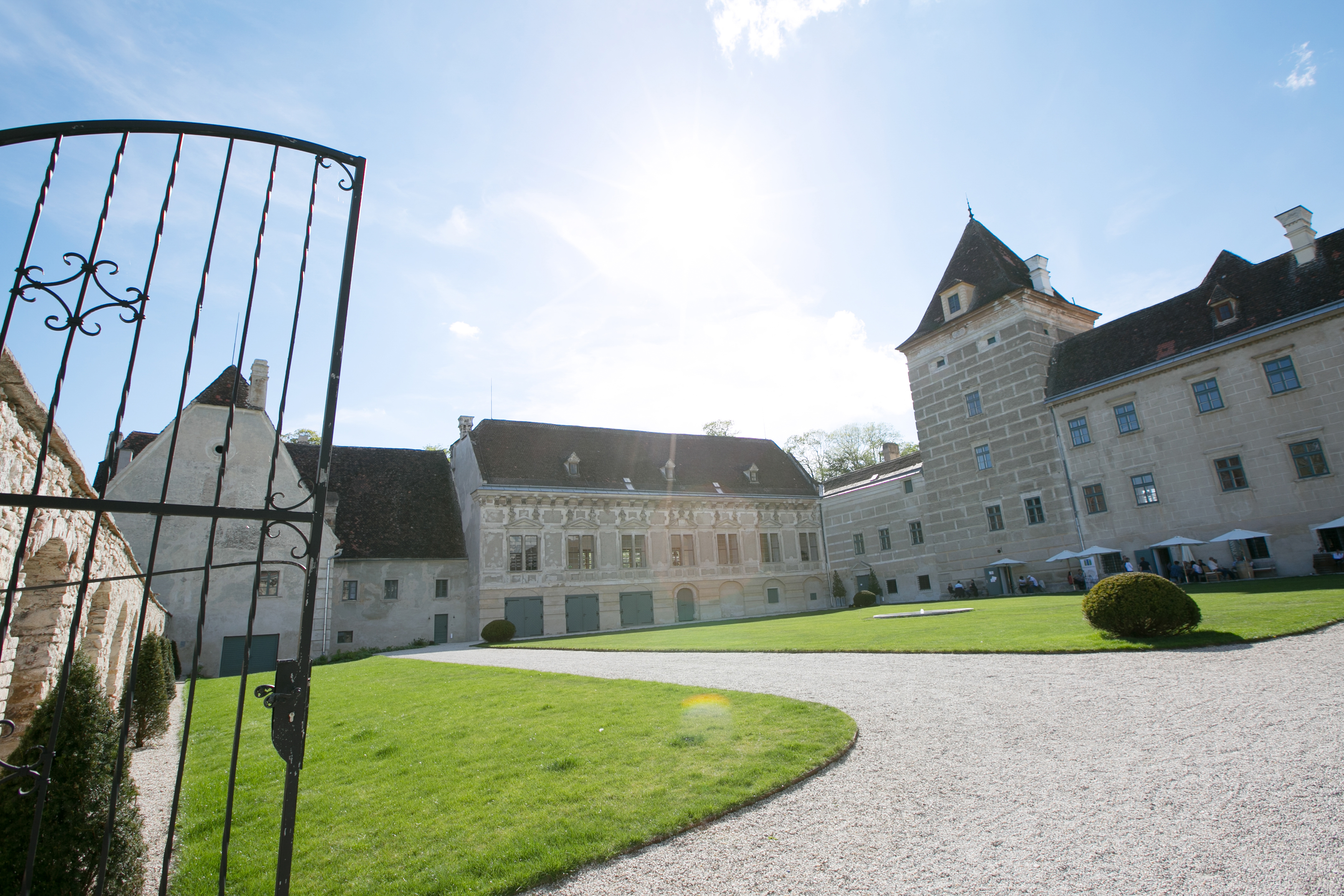
Wine villages on the terraces above the Traisen, between 226 and 293 m, with the Renaissance Schloss Walpersdorf among them.
- 4Highlights
- 5Routes
Highlights
11 from neighbouring places
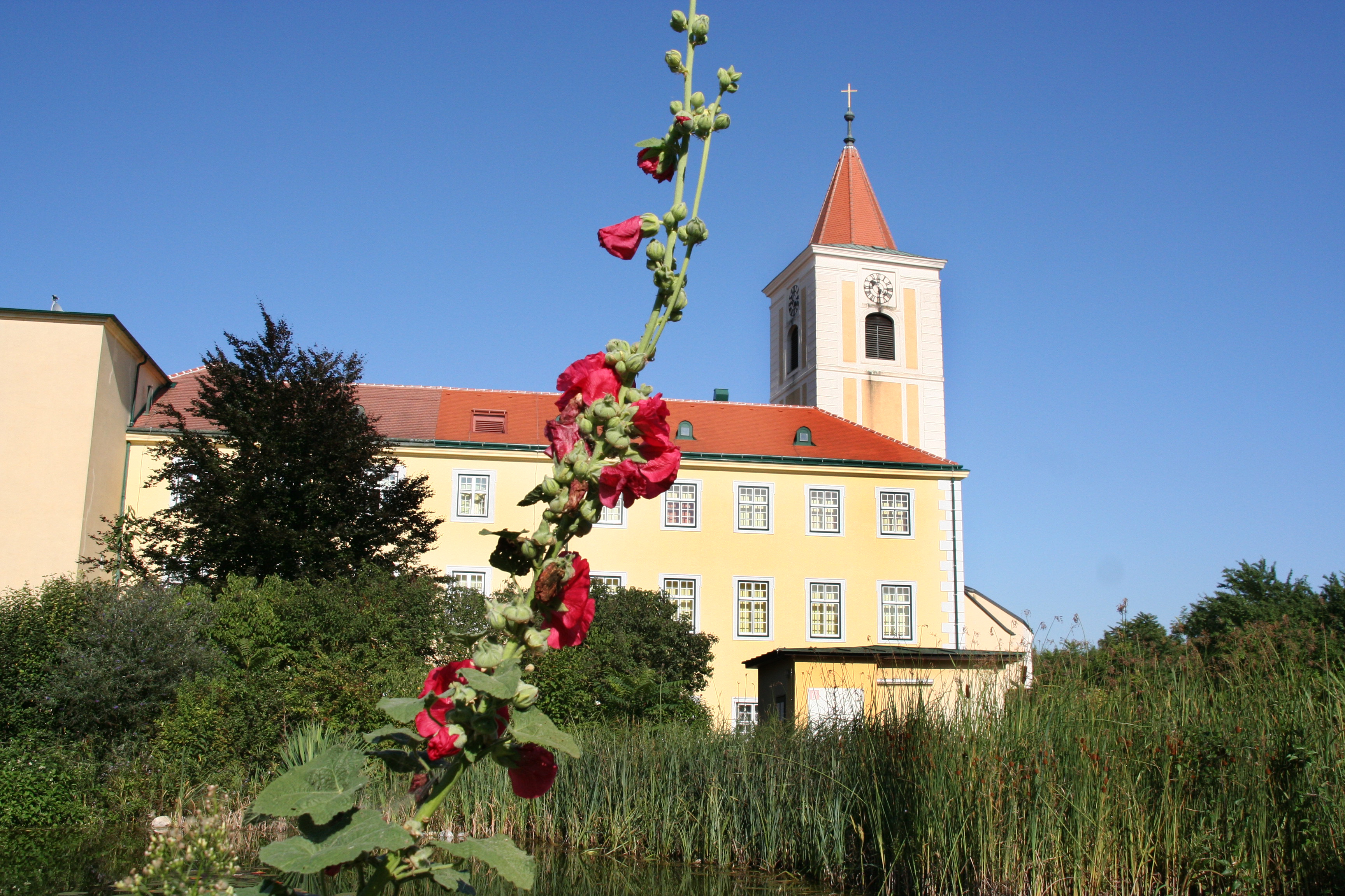
Schloss Walpersdorf und Lederleitner Home
A Renaissance palace at Walpersdorf whose courtyard buildings now hold the Lederleitner garden and home store.
Schlossküche Walpersdorf Blauenstein
A restaurant in the former kitchens of Schloss Walpersdorf, cooking regional dishes in the middle of the Traisental wine country.
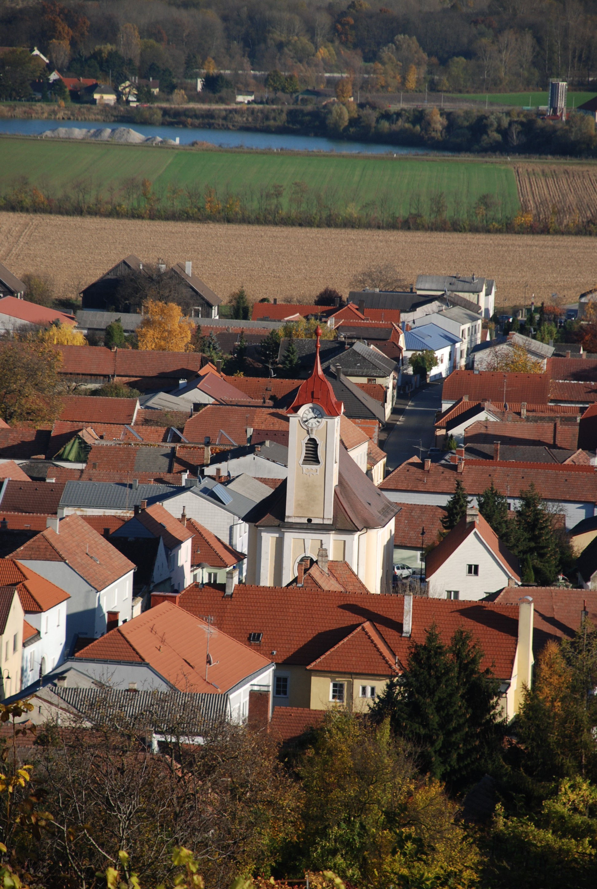
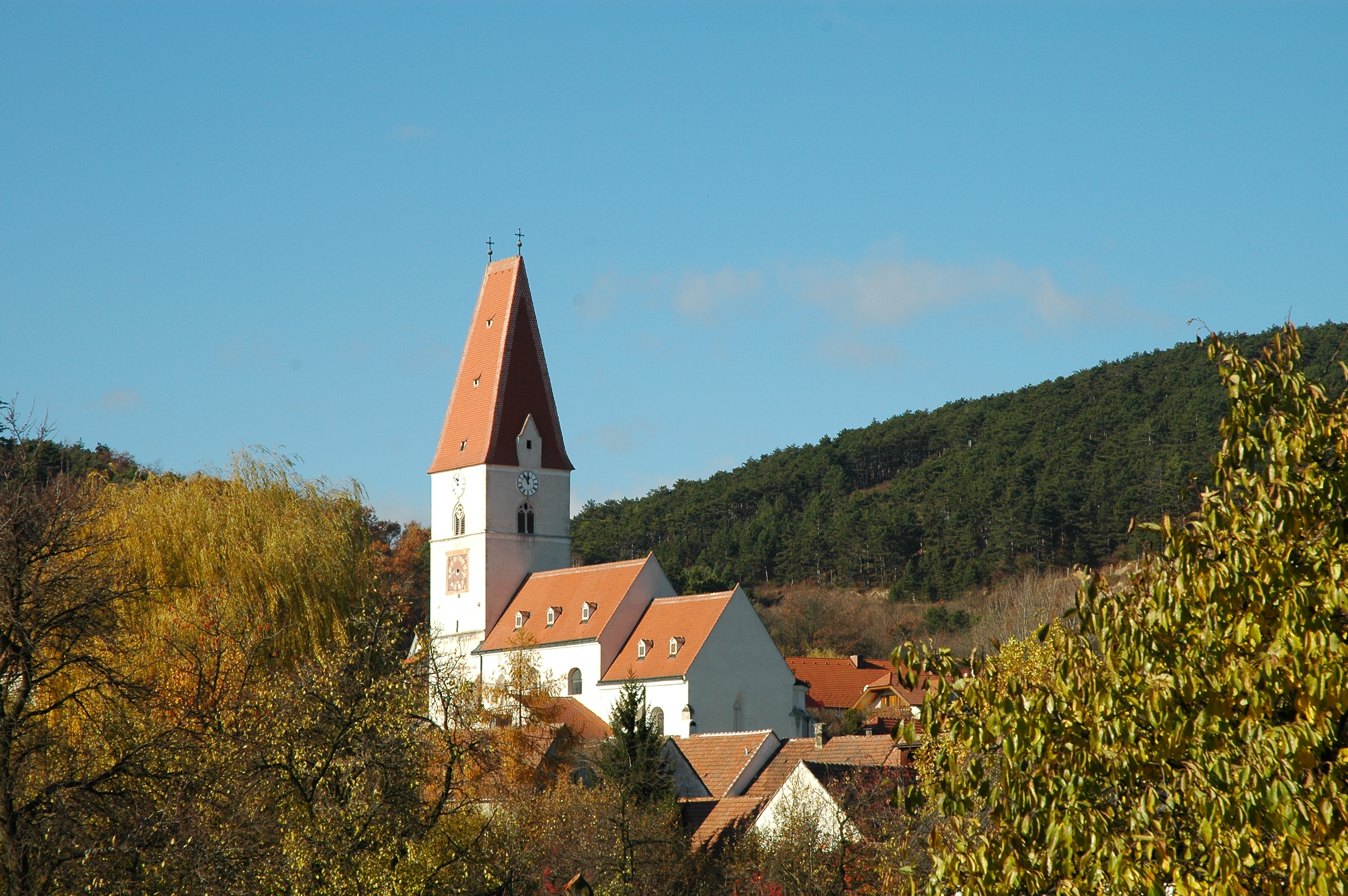
Pfarrkirche Getzersdorf
The parish church of Getzersdorf, at the centre of the wine village in the lower Traisental.
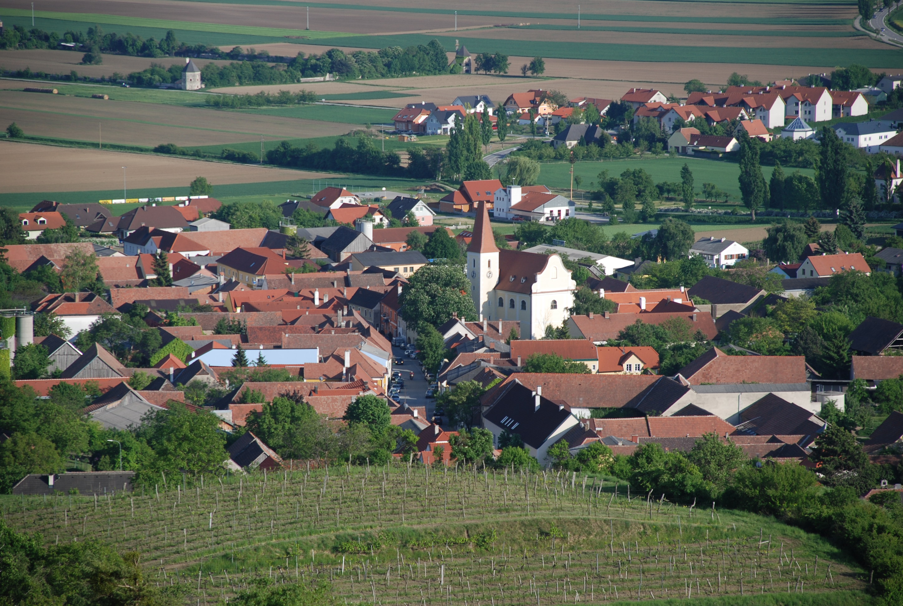
Pfarrkirche Inzersdorf
The parish church of Inzersdorf ob der Traisen, standing among the vineyards of the lower Traisental.
Pfarrkirche St. Andrä an der Traisen (ehemalige Stiftskirche)
3.2 km away, in Herzogenburg
The parish church of St. Andrä an der Traisen, once the collegiate church of the Augustinian canons who later moved their house to Herzogenburg.
Klosterladen Stift Herzogenburg
3.6 km away, in Herzogenburg
The shop at Stift Herzogenburg in the Traisental, selling monastery produce and publications next to the abbey church.
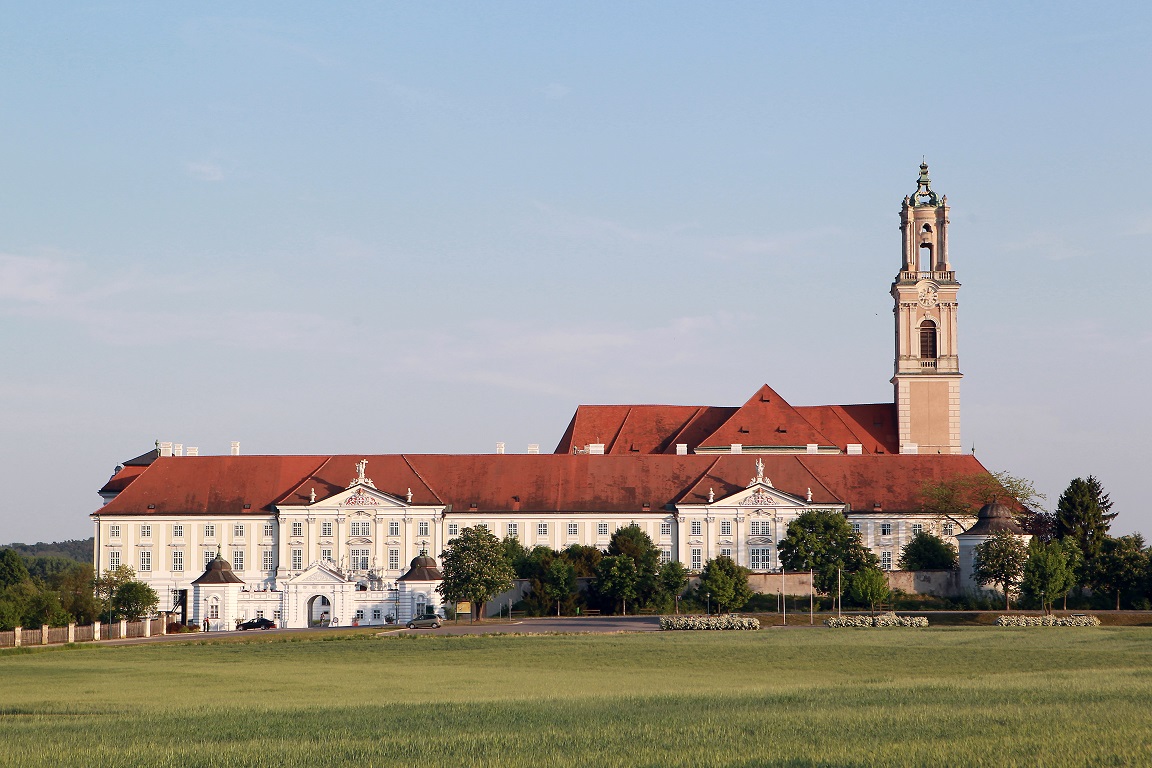
Stift Herzogenburg
3.6 km away, in Herzogenburg
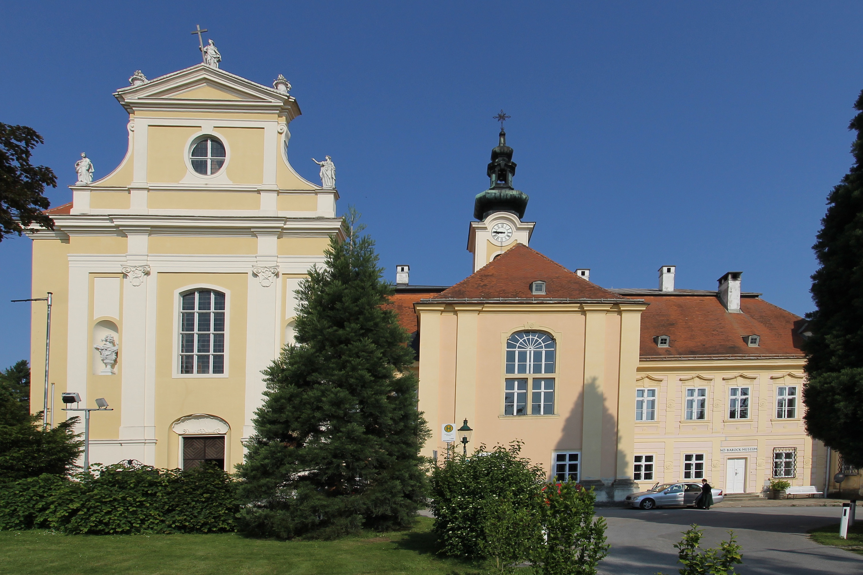
An Augustinian canons' abbey in the Traisental, founded in the twelfth century and rebuilt in baroque form by Prandtauer and Munggenast; library and picture collection are shown on tours.
Pfarrkirche Nußdorf ob der Traisen
4.1 km away, in Nußdorf ob der Traisen
The parish church of Nußdorf ob der Traisen, at the centre of the wine village near the mouth of the Traisen.
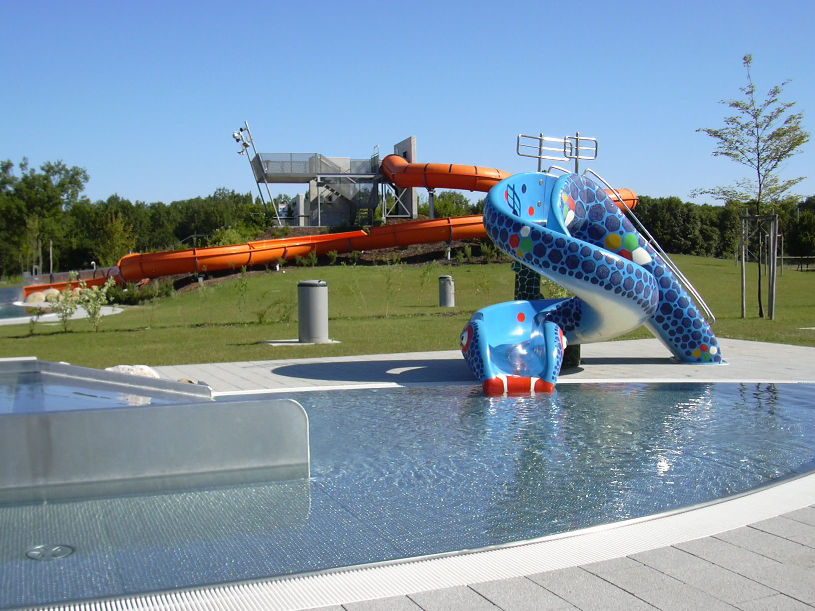
Erlebnisbad
4.5 km away, in Herzogenburg
Herzogenburg's outdoor leisure pool, with slides and lawns not far from the abbey.
Krippenspiel-Museum
5.5 km away, in Traismauer
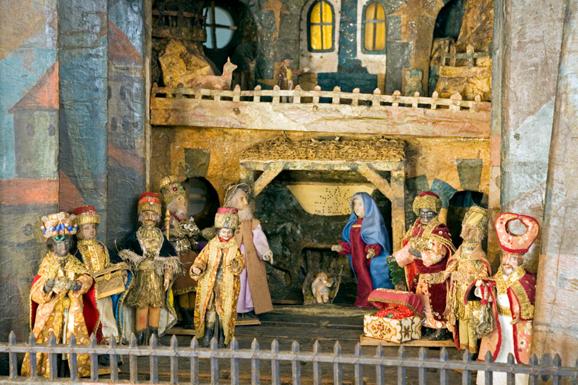
A museum at Traismauer devoted to nativity plays and cribs, with figures and stage sets collected from the region.
Schloss Traismauer "Traismaurer Schätze"
5.5 km away, in Traismauer
The former castle of the Salzburg archbishops at Traismauer, whose rooms now hold the town's collection of local treasures.
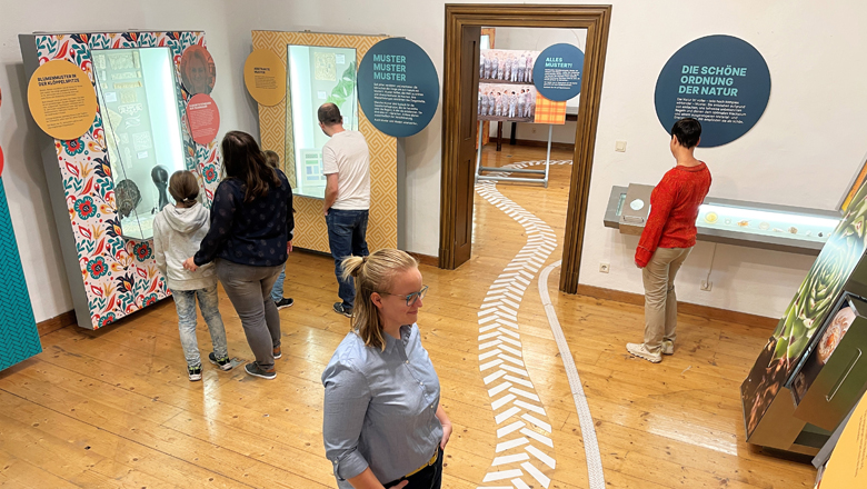
Schlossmuseum und Pfarrkirche Heiligenkreuz-Gutenbrunn
7.7 km away, in Herzogenburg
A small castle museum next to the parish church at Heiligenkreuz-Gutenbrunn, east of Herzogenburg in the Traisental.
Der Korkenzieher
7.5 km away, in Sitzenberg-Reidling
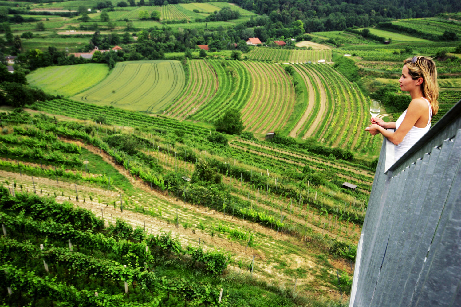
A spiral lookout tower known as the Korkenzieher, standing among the vineyards above Sitzenberg-Reidling.
Max-Schubert-Warte
7.9 km away, in Kapelln
A lookout tower near Kapelln marking the geographic centre of Lower Austria, with a view over the hills of the Traisental.
Koglmühle Genuss GmbH
8.2 km away, in Obritzberg-Rust
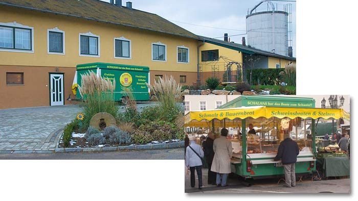
A working mill business at Koglmühle in Obritzberg-Rust, producing and selling regional foods in the Traisental.
 Historic site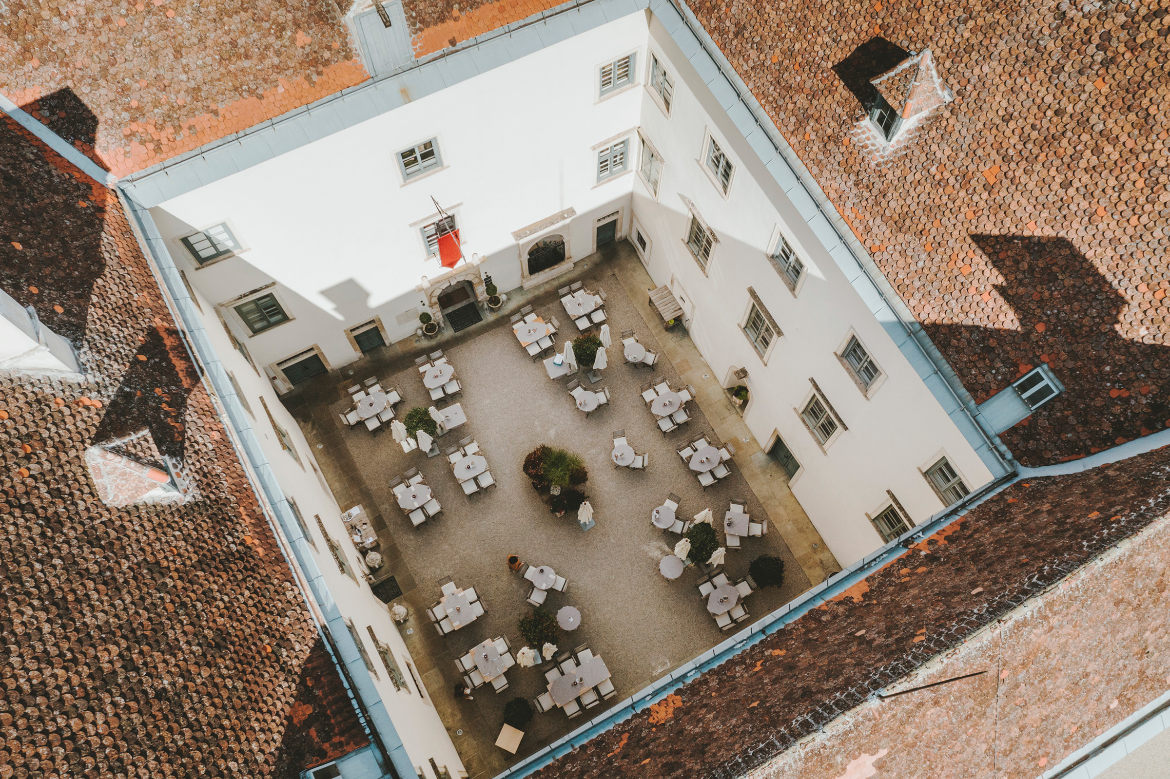
 Viewpoint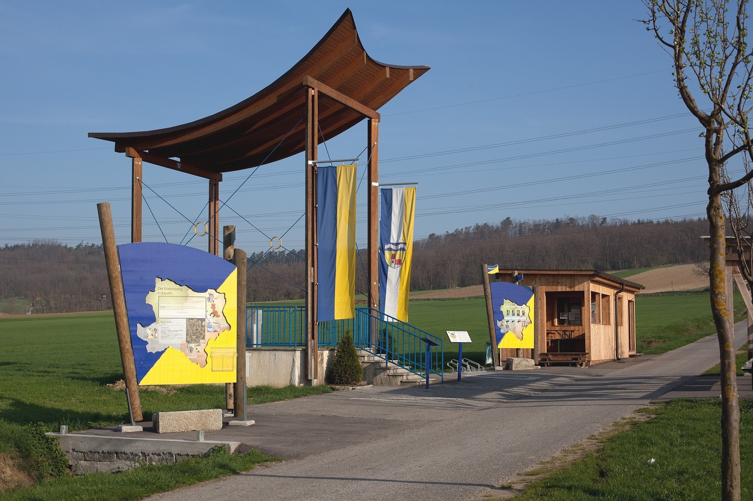
Nothing of this kind in Inzersdorf-Getzersdorf.
Routes
15 from neighbouring places
NÖ Bildstockwanderweg
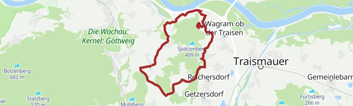
An 11.5 km circuit past the wayside shrines around Inzersdorf-Getzersdorf, with 322 m of ascent and the Hirterhütte on the way.
- 11.5 km
- Distance
- 322 m
- Ascent
- 3 h 30 min
- Duration
Wasser zu Wein-Tour
A 20.1 km route from the Traisen at Herzogenburg up into the vineyards above the valley, with 267 m of ascent.
- 20.1 km
- Distance
- 267 m
- Ascent
- 2 h 2 min
- Duration
Traisentaler Weindörfer
A ride through the Traisental wine villages, laid out for stops at the Heurigen along the way.
- 52.2 km
- Distance
- 203 m
- Ascent
- 4 h 49 min
- Duration
- 2
- Check-ins
 St. Pölten Tourismus 272 m
 Bischofsteich 269 m
- Seedose 259 m
- Hirterhütte 292 m
Graveltour Wein findet Stadt
A gravel route out of St. Pölten along the Traisen into the quiet wine country beyond the town.
- 65.3 km
- Distance
- 484 m
- Ascent
- 6 h 15 min
- Duration
Traisentaler Weinbergradweg
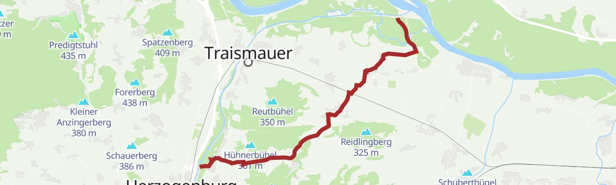
A loop through the vineyards of the lower Traisental, from Herzogenburg out to Hollenburg on the Danube and back past Hirterhütte.
- 33.2 km
- Distance
- 151 m
- Ascent
- 3 h 5 min
- Duration
Traisen-Donau-Radroute
3 km away, in Herzogenburg
A short connector between the Traisental cycle path and the Danube, leaving the valley route at St. Andrä and passing Sitzenberg-Reidling.
- 18.3 km
- Distance
- 44 m
- Ascent
- 1 h 40 min
- Duration
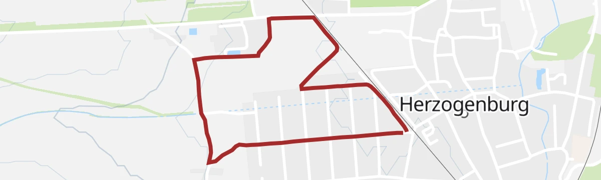
Kostbare Jubiläumsrunde Herzogenburg
3.8 km away, in Herzogenburg
A flat 2.2 km stroll in Herzogenburg, taking in the pond in the Garten der Generationen, with 15 m of ascent.
- 2.2 km
- Distance
- 15 m
- Ascent
- 33 min
- Duration
- Löschwasserteich Garten der Generationen 240 m
Paraplui-Tour
4 km away, in Nußdorf ob der Traisen
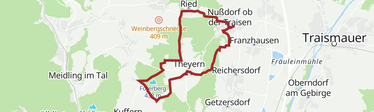
A 10.6 km circuit out of Nußdorf ob der Traisen with 217 m of ascent, passing the Hochbehälter above the village.
- 10.6 km
- Distance
- 217 m
- Ascent
- 1 h 9 min
- Duration
Variante Weinland
4.3 km away, in Paudorf
A long loop from Höbenbach up its cellar lane to the Gegenkreuz, with Stift Göttweig in view across the fields.
- 20.7 km
- Distance
- 464 m
- Ascent
- 5 h 60 min
- Duration
Rundwanderweg "Maria Elend"
4.1 km away, in Nußdorf ob der Traisen
An 11.7 km loop out of Nußdorf ob der Traisen with 294 m of ascent, in the hills on the west side of the Traisen valley.
- 11.7 km
- Distance
- 294 m
- Ascent
- 3 h 28 min
- Duration
Venusberg-Tour Oschneida
5.5 km away, in Traismauer
A 17.1 km variant of the Venusberg route by way of Oschneida, nearly level with 109 m of ascent.
- 17.1 km
- Distance
- 109 m
- Ascent
- 1 h 37 min
- Duration
Mittelpunkt-Radroute
4 km away, in Herzogenburg
A rolling tour of the Traisental on minor roads and well-made farm ways, out and back from the abbey at Herzogenburg.
- 46.4 km
- Distance
- 460 m
- Ascent
- 4 h 33 min
- Duration
Traisen-Danube cycle route
3 km away, in Herzogenburg
A link branching off at St. Andrä bei Herzogenburg, running by way of Hameten and Gutenbrunn towards Sitzenberg-Reidling.
- 18.3 km
- Distance
- 122 m
- Ascent
- 1 h 45 min
- Duration
Von Nußdorf ob der Traisen zur Wohnhöhle
4 km away, in Nußdorf ob der Traisen
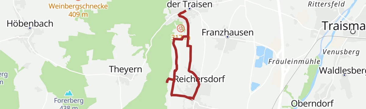
A 5.7 km there-and-back walk with 115 m of ascent, leading from Nußdorf ob der Traisen up to a former cave dwelling.
- 5.7 km
- Distance
- 115 m
- Ascent
- 1 h 37 min
- Duration
Herzogenburger Reblaus-Tour
5.5 km away, in Herzogenburg
A level 13.1 km tour through the vineyards around Herzogenburg in the Traisental, with only 49 m of ascent.
- 13.1 km
- Distance
- 49 m
- Ascent
- 1 h 13 min
- Duration
Rundwanderweg Kapelln
8.3 km away, in Kapelln
A long 21.8 km circuit from Kapelln over the Hausberg, with 315 m of ascent and the Stierschweif-Feldtunnelhütte on the way.
- 21.8 km
- Distance
- 315 m
- Ascent
- 5 h 53 min
- Duration
Wechtl-Rundwanderweg
5.5 km away, in Traismauer
A 9.8 km circuit near Traismauer crossing the Nasenberg, with 144 m of ascent all told.
- 9.8 km
- Distance
- 144 m
- Ascent
- 2 h 39 min
- Duration
Venusberg-Tour
5.5 km away, in Traismauer
A long 24.2 km tour from Traismauer out to the Venusberg and back, with a modest 213 m of ascent.
- 24.2 km
- Distance
- 213 m
- Ascent
- 2 h 21 min
- Duration
Mittelpunkt bike route
4 km away, in Herzogenburg
A circuit from Stift Herzogenburg east of the Traisen, on quiet side roads and farm tracks over the gentle rises of the Traisental.
- 46.4 km
- Distance
- 393 m
- Ascent
- 4 h 29 min
- Duration
On a discovery journey
11.2 km away, in St. Pölten
A short family run along the Traisen in St. Pölten, from the Seedose beside the Viehofner See to the Naturfreunde boathouse on Harlander Straße.
- 6.4 km
- Distance
- 29 m
- Ascent
- 35 min
- Duration







No routes of this kind in Inzersdorf-Getzersdorf yet.
Planning a trip to Inzersdorf-Getzersdorf?
Everything else Lower Austria has, in one place


Take Inzersdorf-Getzersdorf with you into the mountains
Every route on this page with 3D terrain, GPX navigation and offline maps — including the valleys with no signal.
Data sources
- Official website: traisental.mostviertel.at ↗
- Routes and highlights: Mostviertel, Stpoeltentourismus
- Published as open data by the tourist boards named above.
- Region summary generated from the board's own material.
