











Curated by Osttirol Tourismus
Innervillgraten
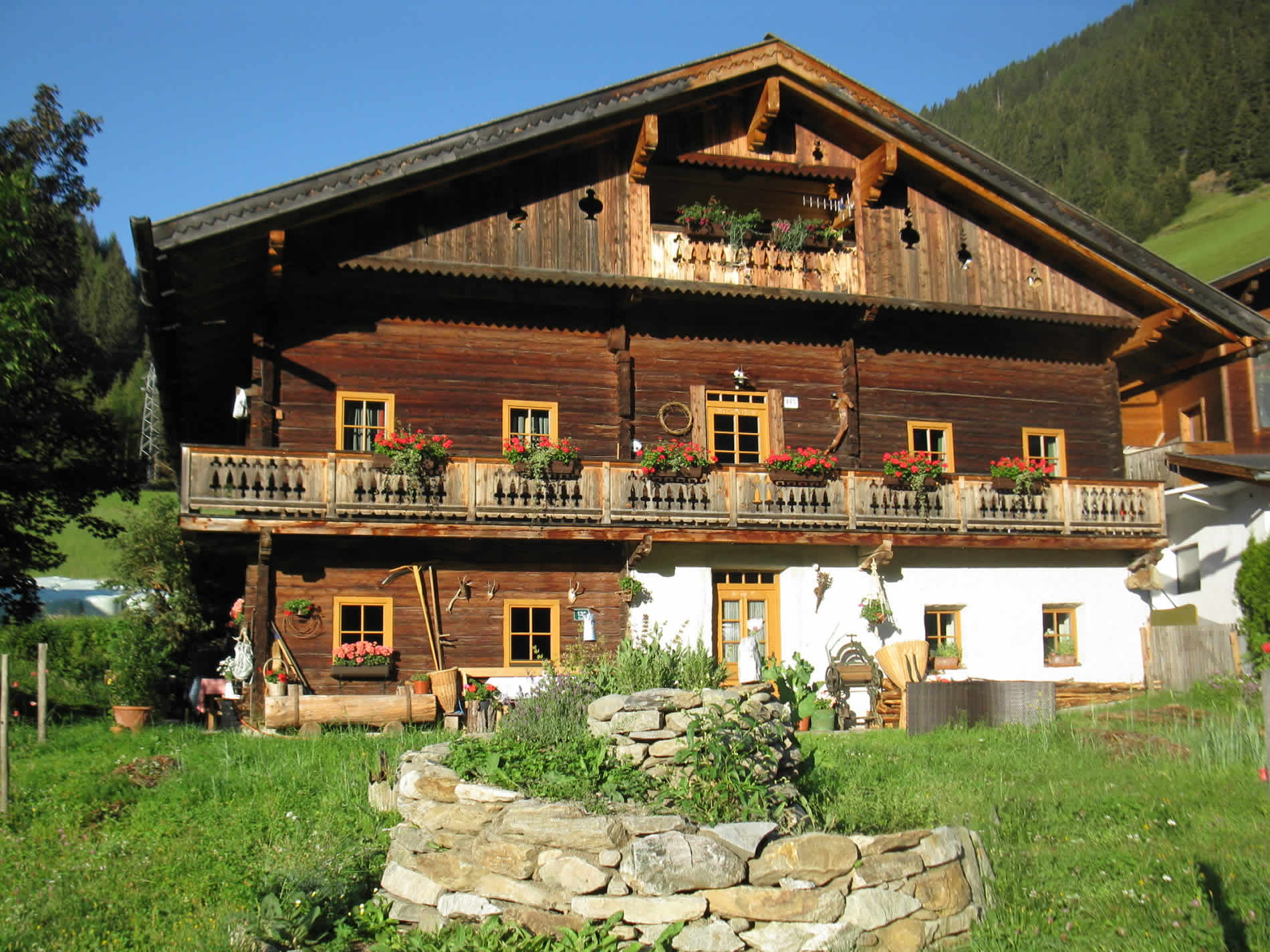
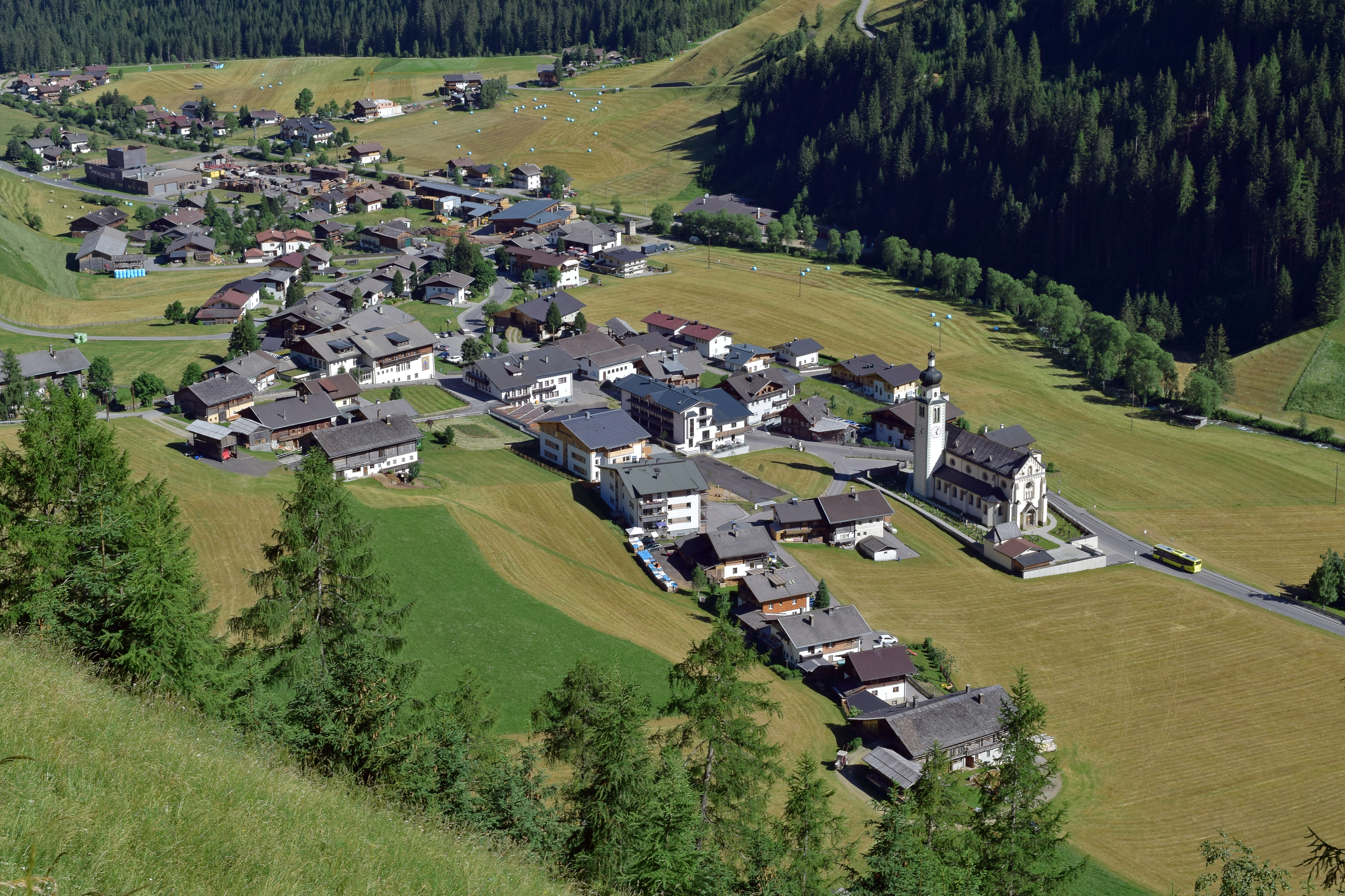
The upper village of the Villgraten valley at about 1390 m, a stronghold of Osttirol mountain farming below the Klapfbach waterfall.
Photo: Haeferl · CC BY-SA 4.0 licence
- 8Highlights
- 33Routes
- Featured summit · Weiße Spitze
Highlights
7 from neighbouring places
Almhütte SCHMIDHOFALM
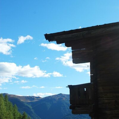
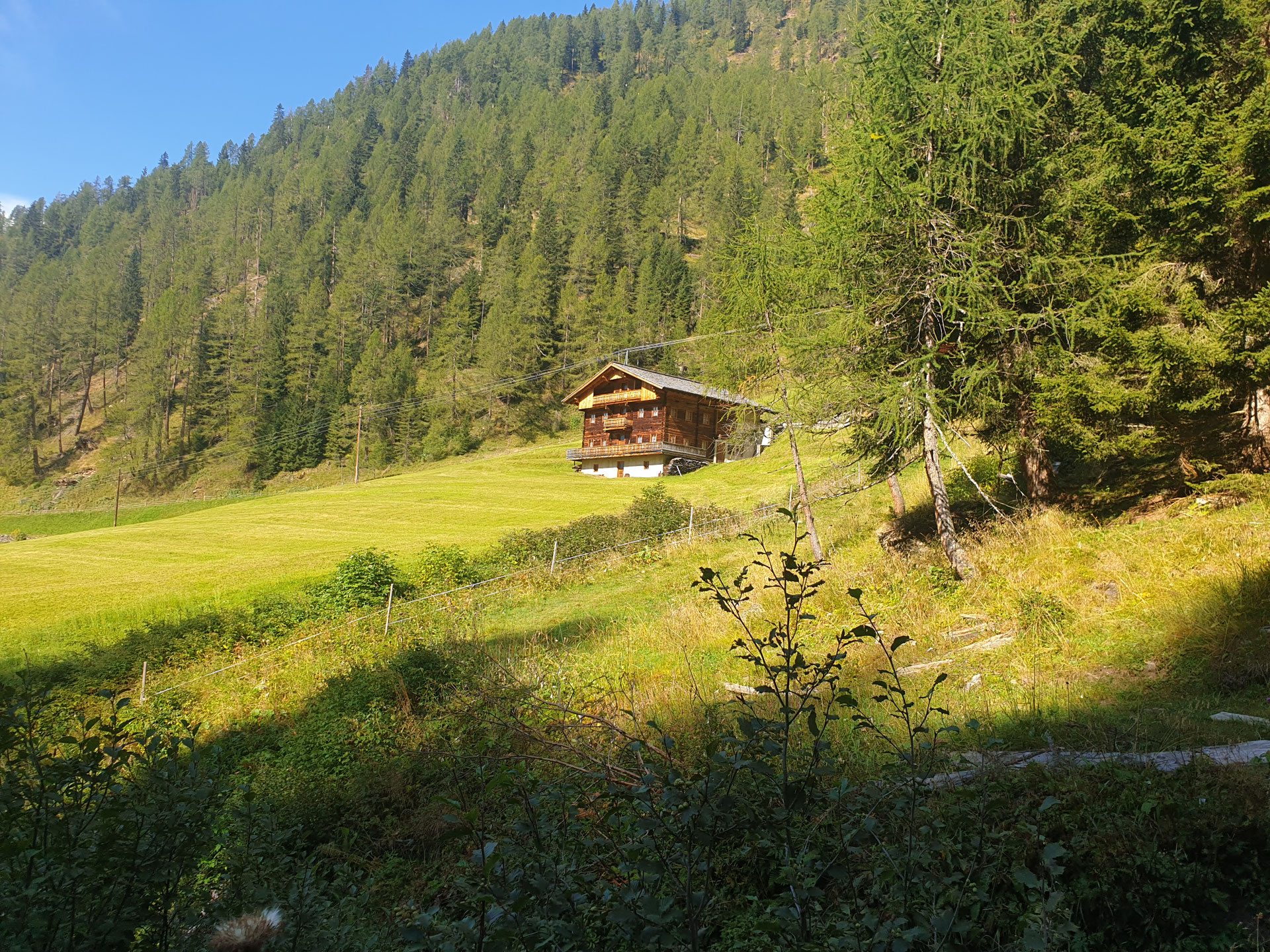
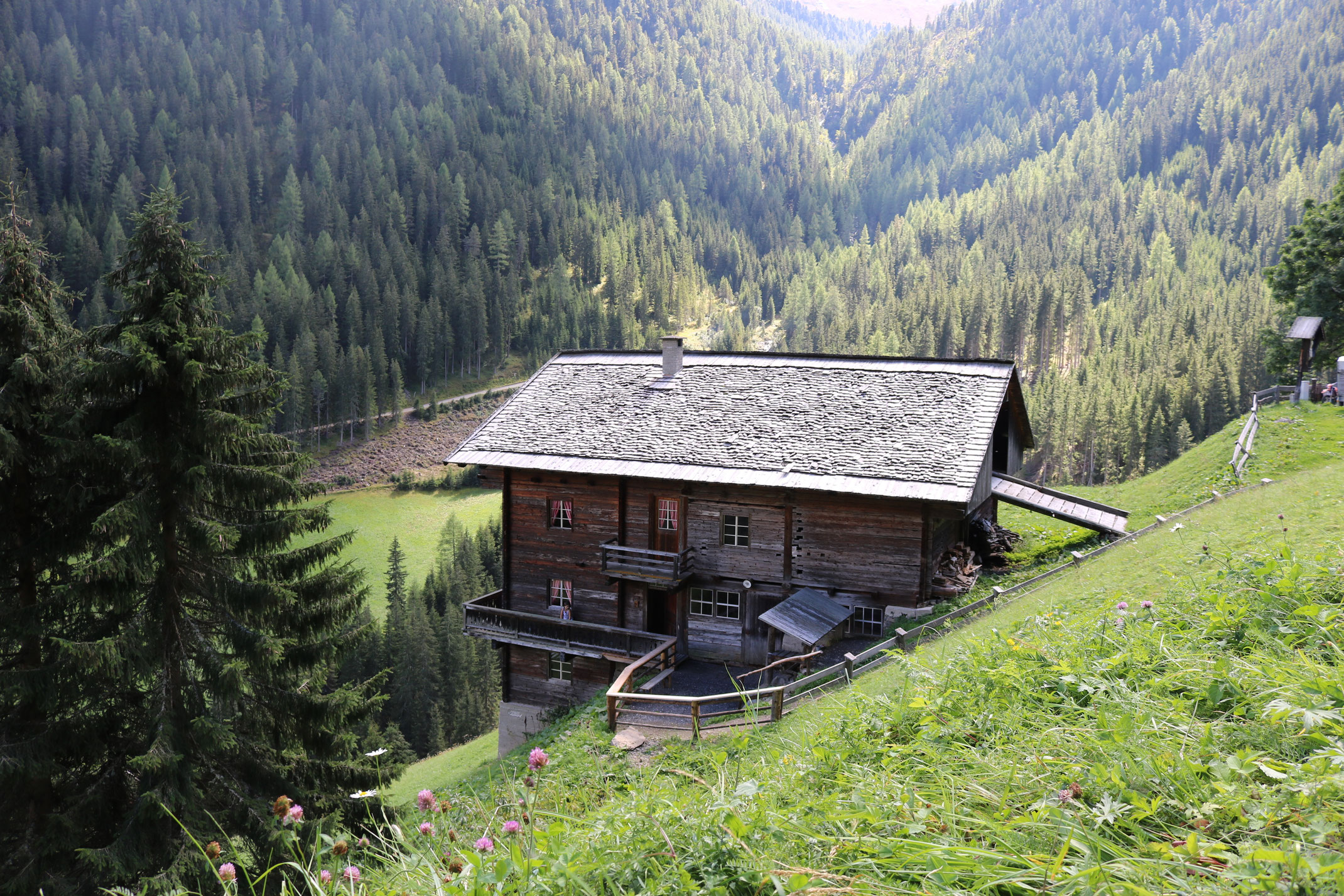
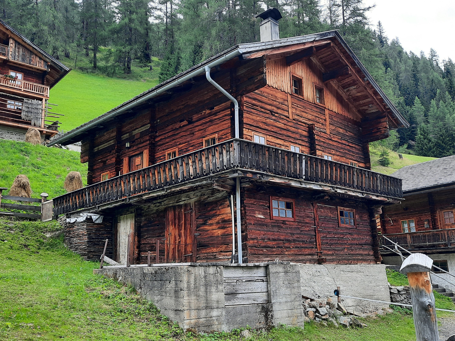
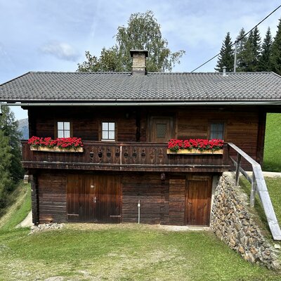
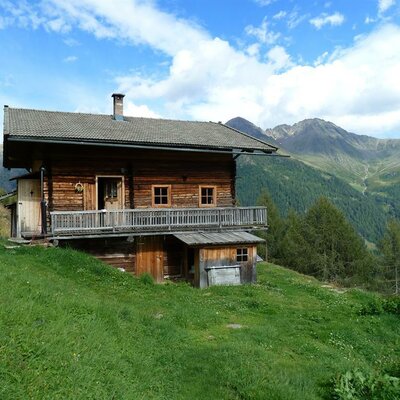
The alm hut of the Schmidhof farm above Innervillgraten, occupied through the summer grazing months.
Almhütte Thaletalm
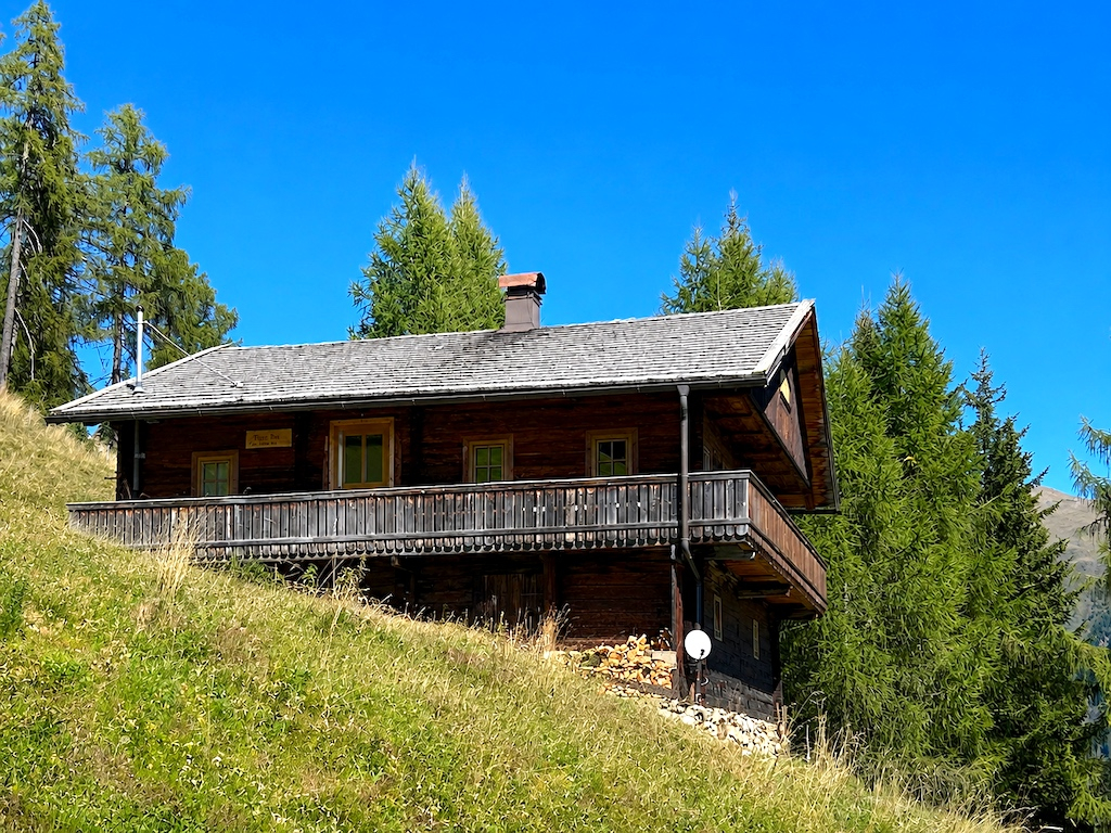
An alm hut in the Thaletal pastures above Innervillgraten, a rustic base in the Villgraten mountains.
Badl-Alm 1.640 m
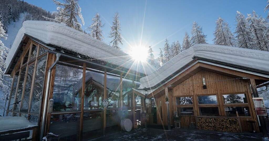
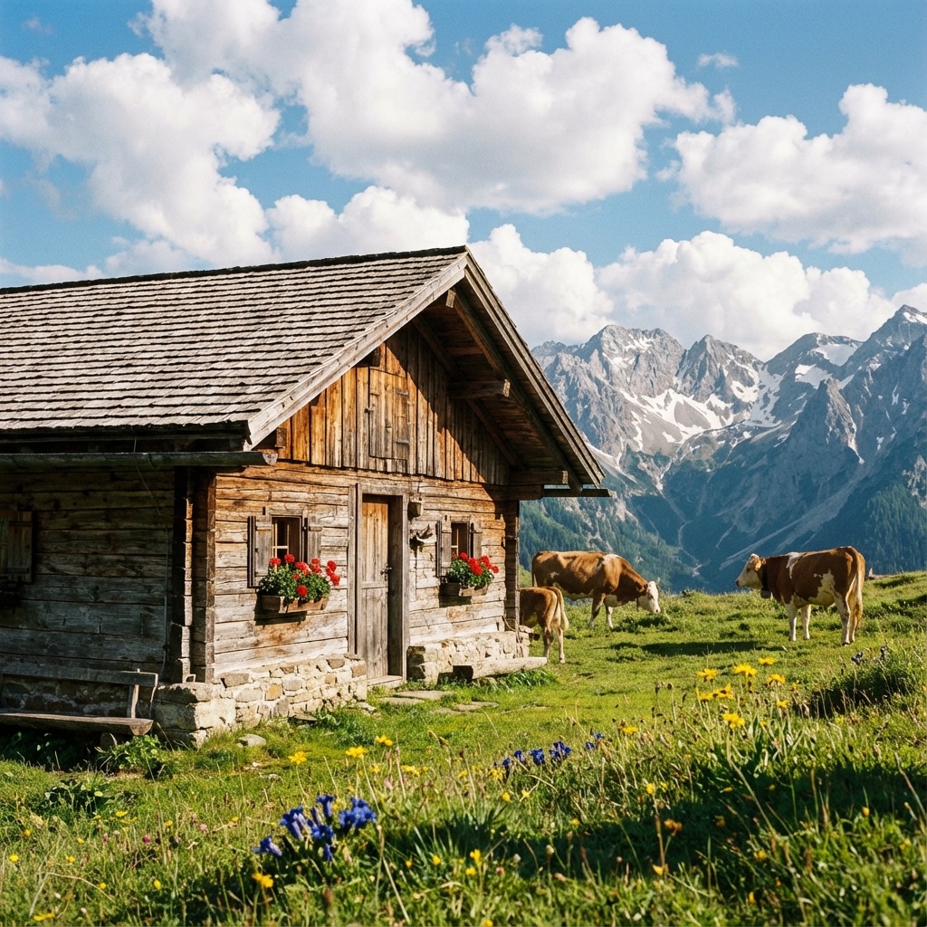
An alm hut at 1,640 m near Innervillgraten, a hospitable stop on walks through the Villgraten valley's high pastures.
Oberhoferalm Steidl
A family-run alm hut above Innervillgraten, part of the Villgraten valley's living tradition of high-pasture farming.
Alfenalm Maxer, Steidl Annemarie
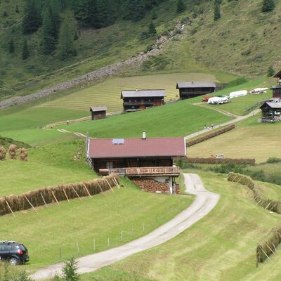
One of the huts on the Alfen pastures above Innervillgraten, a traditional alm building of the Villgraten valley.
Alfenalm TSCHOGGLER - Schett Alban
The Tschoggler hut on the Alfen pastures above Innervillgraten, one of the valley's traditional alm buildings.
Almhütte Thalefeld - Lanser Erwin
A privately owned alm hut on the Thalefeld pastures above Innervillgraten, typical of the valley's scattered summer huts.
Gissekammer
A traditional hut in the high meadows above Innervillgraten, one of the many small alm buildings of the Villgraten valley.
Lanzer Obheimat
5.6 km away, in Außervillgraten
A mountain hut above Außervillgraten whose name points to a farm's upper summer holding in the Villgraten mountains.
Bruggeralm 1.818m
6.6 km away, in St. Veit in Defereggen
An alm hut at 1,818 m above the Defereggen valley near St. Veit, serving walkers through the summer grazing season.
Weißspitzhütte
6.9 km away, in St. Veit in Defereggen
A hut high above the Defereggen valley near St. Veit, named after the Weiße Spitze and reached on marked paths from the valley.
Rehblickhütte
7.7 km away, in Außervillgraten
A hut above Außervillgraten whose name means deer view, a quiet base in the Villgraten mountains.
Die Brandalm
7.7 km away, in Außervillgraten
An alm hut above Außervillgraten in the Villgraten valley, run through the summer season as a stop for walkers.
Außermitterwurzen
7.8 km away, in Außervillgraten
A remote alm hut above Außervillgraten, its name placing it among the Wurzen pasture holdings of the Villgraten mountains.
Oberkoflalm
8 km away, in Außervillgraten
An alm hut on the slopes above Außervillgraten, reached by farm tracks through the Villgraten grazing country.
Nothing of this kind in Innervillgraten.
Routes
Peststeig
An easy woodland trail from Innervillgraten toward the Kalkstein valley, following a path named for the plague era and ending near Gasthaus Badl Alm.
- 6.2 km
- Distance
- 306 m
- Ascent
- 2 h 15 min
- Duration
- 7
- Check-ins
Marchkinkele
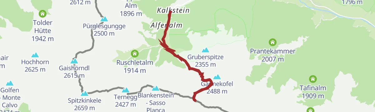
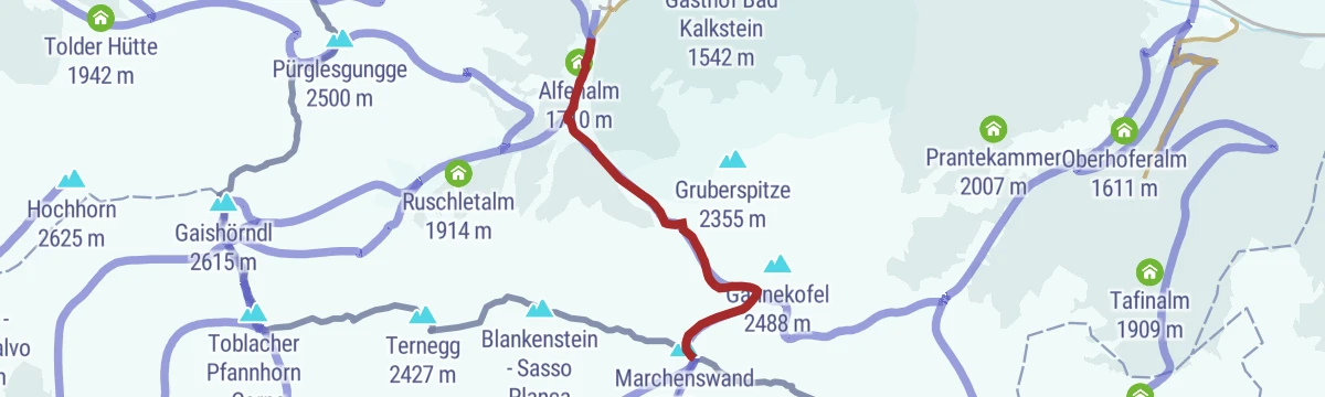
From Kalkstein this route climbs past the Marchhütte to a summit right on the Italian frontier ridge, returning by the Alfenalm; Gasthaus Badl Alm sits at the trailhead.
- 9.1 km
- Distance
- 895 m
- Ascent
- 5 h 32 min
- Duration
- 29
- Check-ins
Toblacher Pfannhorn
Border-ridge circuit from Kalkstein over the Spitzkinkele and the Pfanntörl to a 2,663 m peak above South Tyrol, with the Alfenalm on the descent.
- 9.8 km
- Distance
- 1 018 m
- Ascent
- 6 h 13 min
- Duration
- 57
- Check-ins
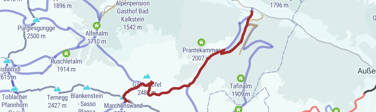
Skitour Marchkinkele 2.553m
Compact ski tour from the hamlet of Kalkstein past the Marchhütte and Alfenalm to a 2,553 m peak sitting directly on the Italian border.
- 3.6 km
- Distance
- 851 m
- Ascent
- 851 m
- Descent
- 2 h 40 min
- Duration
- 22
- Check-ins
Skitour Toblacher Pfannhorn 2.663m
Ski ascent from Kalkstein over the Pfanntörl to a 2,663 m summit on the ridge toward South Tyrol, taking in the Spitzkinkele — a tour with sustained climbing.
- 4.4 km
- Distance
- 1 015 m
- Ascent
- 1 015 m
- Descent
- 3 h 12 min
- Duration
- 57
- Check-ins
Berg-Radl-Weg Innervillgraten Nr. 105
A long forest-road tour up the side valleys of Innervillgraten, linking the Unterstalleralm with the huts around Bad Kalkstein.
- 23.2 km
- Distance
- 873 m
- Ascent
- 2 h 53 min
- Duration
- 15
- Check-ins
Bike & Hike Kreuzspitze 2.624m
An ascent from Innervillgraten up the Kalkstein valley past Badl Alm to the Lipper Alm, where the bike is left for the walk up Kreuzspitze.
- 20.2 km
- Distance
- 1 273 m
- Ascent
- 3 h 18 min
- Duration
- 17
- Check-ins
Oberstalleralm
Short, easy walk up the Arntal from the Unterstaller Alm car park to a protected cluster of historic hay barns and chapels — one of Tyrol's best-preserved alp villages.
- 2.8 km
- Distance
- 178 m
- Ascent
- 1 h 13 min
- Duration
- 4
- Check-ins
Themenweg "Schmugglersteig"
Theme route from Kalkstein over the Kalksteiner Jöchl on paths once used by cross-border smugglers, passing the Lipper Alm on the return leg.
- 5.5 km
- Distance
- 718 m
- Ascent
- 4 h 14 min
- Duration
- 16
- Check-ins
Kreuzspitze 2.624 m
From Kalkstein past Gasthaus Badl Alm and the Lipper Alm to a cross-topped 2,624 m summit on the border ridge above the Villgraten valley.
- 10.5 km
- Distance
- 963 m
- Ascent
- 6 h 2 min
- Duration
- 16
- Check-ins
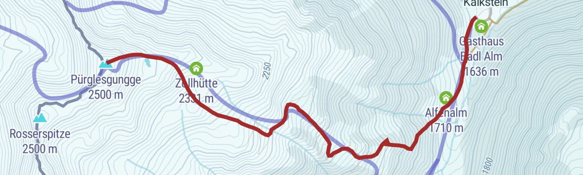
Skitour Pürglers Kunke 2.500m
Ski tour from the Kalkstein car park past the Alfenalm and the old Zollhütte customs hut to a quiet 2,500 m top near the Italian border.
- 3.0 km
- Distance
- 851 m
- Ascent
- 851 m
- Descent
- 2 h 35 min
- Duration
- 21
- Check-ins
Skitour Gaishörndl 2.615m
From the hamlet of Kalkstein this ski tour climbs past the Alfenalm and through the Gruberlenke to a 2,615 m border summit, with nearly 1,000 m of ascent.
- 4.2 km
- Distance
- 963 m
- Ascent
- 963 m
- Descent
- 3 h 2 min
- Duration
- 23
- Check-ins
Bike & Hike Schwarzsee 2.500m
A climb through the Villgratental past the Unterstalleralm and the Klapfbach waterfall, gaining height to the Elplan Schupfe at 2,198 m.
- 26.2 km
- Distance
- 1 551 m
- Ascent
- 4 h 6 min
- Duration
- 5
- Check-ins
Rundweg Gasse
A short, nearly level stroll around one of Innervillgraten's hamlet quarters, past traditional mountain farmhouses — an easy hour at valley level.
- 2.2 km
- Distance
- 63 m
- Ascent
- 40 min
- Duration
Schwarzsee
From the Unterstalleralm this trail climbs a side valley past the Elplan Schupfe to a dark mountain tarn at the head of the cirque, some 800 m above the start.
- 7.8 km
- Distance
- 803 m
- Ascent
- 4 h 55 min
- Duration
- 4
- Check-ins
Rote Spitze 2.956 m
Long climb from the Unterstalleralm through the Wangeslenke to a 2,956 m summit, one of the highest walk-up peaks in the Villgraten mountains.
- 10.2 km
- Distance
- 1 268 m
- Ascent
- 7 h 30 min
- Duration
- 7
- Check-ins
Skitour Kalksteiner Jöchl & Hohe Geil 2.494m
From the Kalkstein car park skins lead past Gasthaus Badl Alm to a border saddle and on to a 2,494 m summit, with the Lipper Alm passed along the way.
- 5.0 km
- Distance
- 856 m
- Ascent
- 856 m
- Descent
- 2 h 51 min
- Duration
- 18
- Check-ins
Skitour Marchkinkele 2.553m (ab Innervillgraten )
The longer approach to the border peak: from Innervillgraten village this ski tour gains almost 1,200 m past the Marchhütte to a 2,553 m summit.
- 6.7 km
- Distance
- 1 172 m
- Ascent
- 1 172 m
- Descent
- 3 h 53 min
- Duration
- 17
- Check-ins
Rundweg Berglet-Talet-Dorf
A varied loop around Innervillgraten linking hillside lanes, valley floor and village centre — a moderate round with about 350 m of climbing.
- 4.8 km
- Distance
- 356 m
- Ascent
- 2 h 20 min
- Duration
Rotes Kinkele
From the centre of Innervillgraten this route climbs past the Thaletalm and Schmidhoferalm to the Remasseen tarns and on to a 2,763 m summit on the border crest.
- 13.0 km
- Distance
- 1 350 m
- Ascent
- 8 h 15 min
- Duration
- 5
- Check-ins
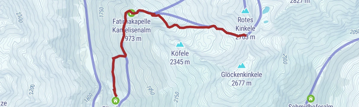
Skitour Öwelenke 2.550m
Ski tour from the Fürathöfe parking past the Fatimakapelle at the Kamelisenalm to a 2,550 m saddle in the Villgraten mountains — a moderate 850 m climb.
- 4.3 km
- Distance
- 863 m
- Ascent
- 863 m
- Descent
- 2 h 47 min
- Duration
- 2
- Check-ins
Skitour Kreuzspitze 2.624m
From the hamlet of Kalkstein past Gasthaus Badl Alm, this ski tour climbs steadily to a cross-marked 2,624 m summit on the Italian border.
- 5.0 km
- Distance
- 966 m
- Ascent
- 966 m
- Descent
- 3 h 8 min
- Duration
- 13
- Check-ins
Königsweg der Herz-Ass Villgratental
Crown stage of the Villgratental circuit: from Innervillgraten past the Volkzeiner Hütte to the Sieben Seen and over the 2,951 m Hochgrabe, descending by the Thaletalm.
- 14.8 km
- Distance
- 1 560 m
- Ascent
- 9 h 30 min
- Duration
- 4
- Check-ins
 Hochgrabe 2 951 m
 Volkzeiner Hütte 1 884 m
 Sieben Seen 2 528 m
- Sieben Seen 2 567 m
- Almhütte Thaletalm 1 682 m
- Taletalm 1 810 m
- +2
Skitour Mosesgungge 2.552m
Ski tour from Kalkstein past Gasthaus Badl Alm and the Lipper Alm into a high bowl, finishing on a 2,552 m summit on the frontier ridge.
- 4.6 km
- Distance
- 903 m
- Ascent
- 903 m
- Descent
- 2 h 55 min
- Duration
- 11
- Check-ins
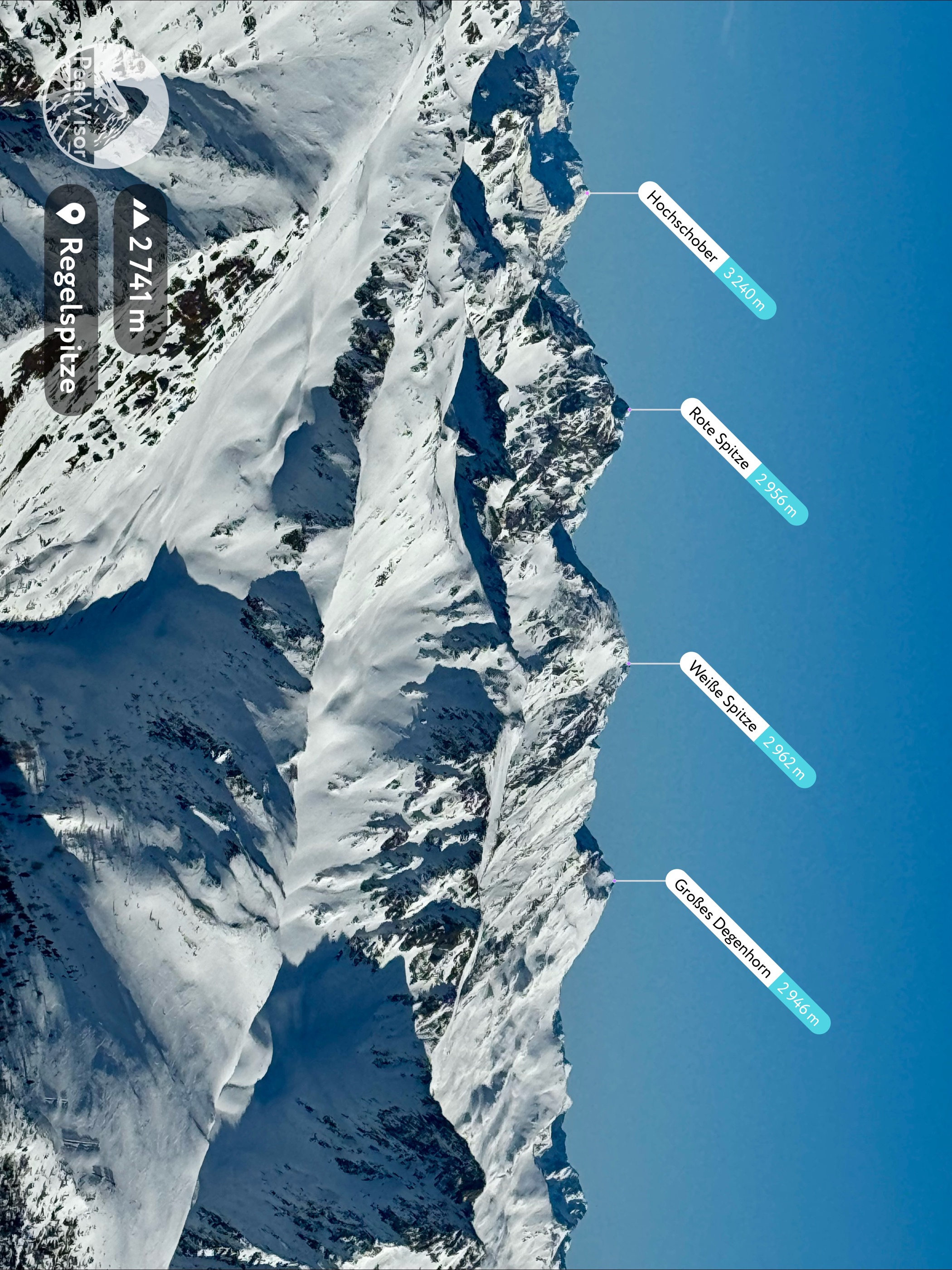
Weiße Spitze 2.962m
From the Oberstaller Alm car park through the Schlötterlenke to the 2,962 m high point of the Villgraten mountains — strenuous but technically moderate.
- 9.3 km
- Distance
- 1 239 m
- Ascent
- 7 h 16 min
- Duration
- 4
- Check-ins
Skitour Gr. Degenhorn 2.946m
Long ski tour up the Arntal from the Unterstalleralm, passing the Riepenkammer hut before the final climb to a 2,946 m summit — 1,400 m of ascent in remote terrain.
- 10.0 km
- Distance
- 1 444 m
- Ascent
- 1 444 m
- Descent
- 4 h 59 min
- Duration
- 10
- Check-ins
Rote Spitze Überschreitung
A traverse of the 2,956 m peak above the Arntal, ascending through the Schlötterlenke and descending via the Wangeslenke; paid parking below the Oberstaller Alm.
- 7.8 km
- Distance
- 1 114 m
- Ascent
- 6 h 28 min
- Duration
- 3
- Check-ins
Skitour Riepenspitze 2.774m
From the Lüfter parking this ski tour follows the Arntal past the Unterstalleralm and the Riepenkammer hut to a 2,774 m summit with a long run back down.
- 8.5 km
- Distance
- 1 257 m
- Ascent
- 1 257 m
- Descent
- 4 h 20 min
- Duration
- 10
- Check-ins
Skitour Rotes Kinkele 2.763m
Direct ski line from the Schettlet car park past the Fatimakapelle at the Kamelisenalm, gaining just over 1,000 m to a 2,763 m border summit.
- 4.6 km
- Distance
- 1 064 m
- Ascent
- 1 064 m
- Descent
- 3 h 20 min
- Duration
- 7
- Check-ins
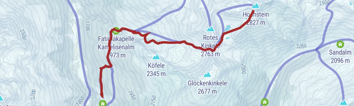
Skitour Hochstein
Ski tour from the Fürathöfe past the Fatimakapelle and over the Öwelenke saddle to the Remasseen basin, finishing on a lookout summit after about 1,100 m of climbing.
- 5.7 km
- Distance
- 1 124 m
- Ascent
- 1 124 m
- Descent
- 3 h 38 min
- Duration
- 2
- Check-ins
- Hochstein 2 827 m
- Fatimakapelle Kamelisenalm 1 973 m
 Öwelenke 2 559 m
- Remasseen 2 537 m
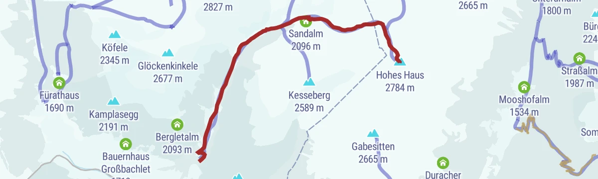
Skitour Hohes Haus 2.784m
From the Höggerhöfe farms this ski tour climbs by the Thaletalm and Sandalm through the Villponer Lenke to a 2,784 m summit on the Villgraten crest.
- 6.7 km
- Distance
- 1 214 m
- Ascent
- 1 214 m
- Descent
- 3 h 60 min
- Duration
- 2
- Check-ins
Skitour Hochgrabe 2.951m
Big ski day from the Höggerhöfe past the Thaletalm to the Sieben Seen plateau and up a 2,951 m summit, one of the highest ski goals in the Villgraten mountains.
- 6.6 km
- Distance
- 1 374 m
- Ascent
- 1 374 m
- Descent
- 4 h 24 min
- Duration
- 1
- Check-ins
- Hochgrabe 2 951 m
- Sieben Seen 2 528 m
- Almhütte Thaletalm 1 682 m
- Taletalm 1 810 m
- Schmidhoferalm 1 907 m
- Sieben Seen 2 517 m
Skitour Kesseberg & Nöckl
Ski tour from the Högger car park past the Thaletalm and Schmidhoferalm, taking in two neighbouring summits above Innervillgraten in one 1,000 m push.
- 5.5 km
- Distance
- 1 016 m
- Ascent
- 1 016 m
- Descent
- 3 h 19 min
- Duration
No routes of this kind in Innervillgraten yet.
The region's own picks

Featured route
Peststeig
An easy woodland trail from Innervillgraten toward the Kalkstein valley, following a path named for the plague era and ending near Gasthaus Badl Alm.
Planning a trip to Innervillgraten?
Everything else Tyrol has, in one place


Take Innervillgraten with you into the mountains
Every route on this page with 3D terrain, GPX navigation and offline maps — including the valleys with no signal.
Data sources
- Official website: osttirol.com ↗
- Routes and highlights: Osttirol Tourismus
- Published as open data by the tourist boards named above.
- Region summary generated from the board's own material.
