
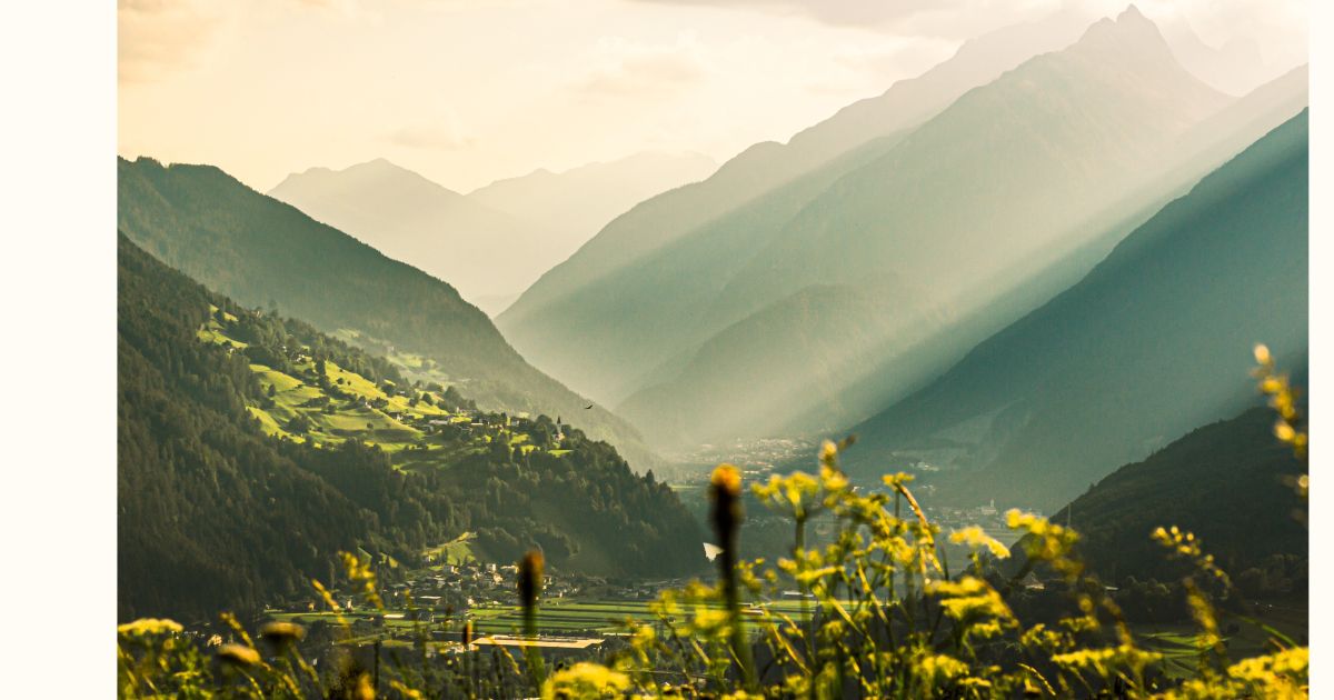
- 15Highlights
- 21Routes
Highlights
All 15 from neighbouring places
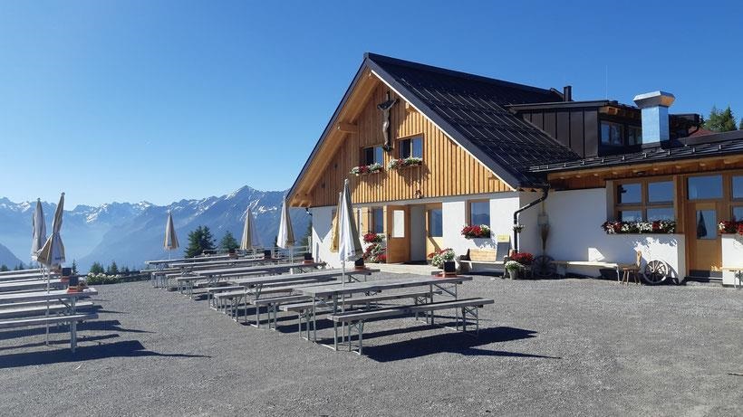
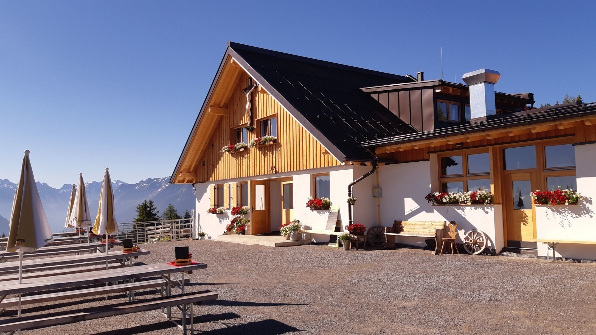
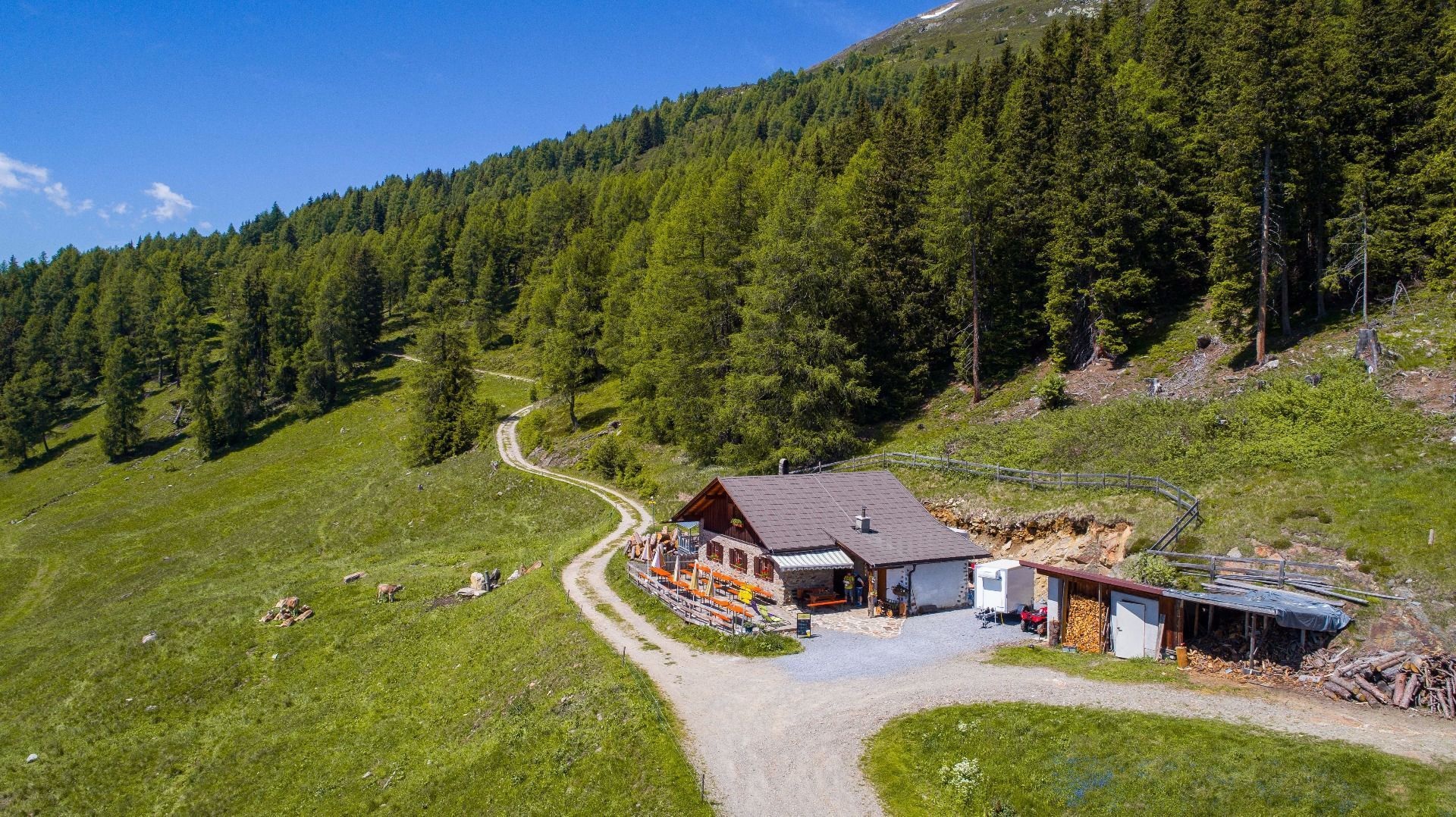
Imsterberger Venetalm
1.9 km away, in Wenns
An alpine pasture on the Venet slopes above Imsterberg, a summer refreshment stop for walkers in the Imst region.
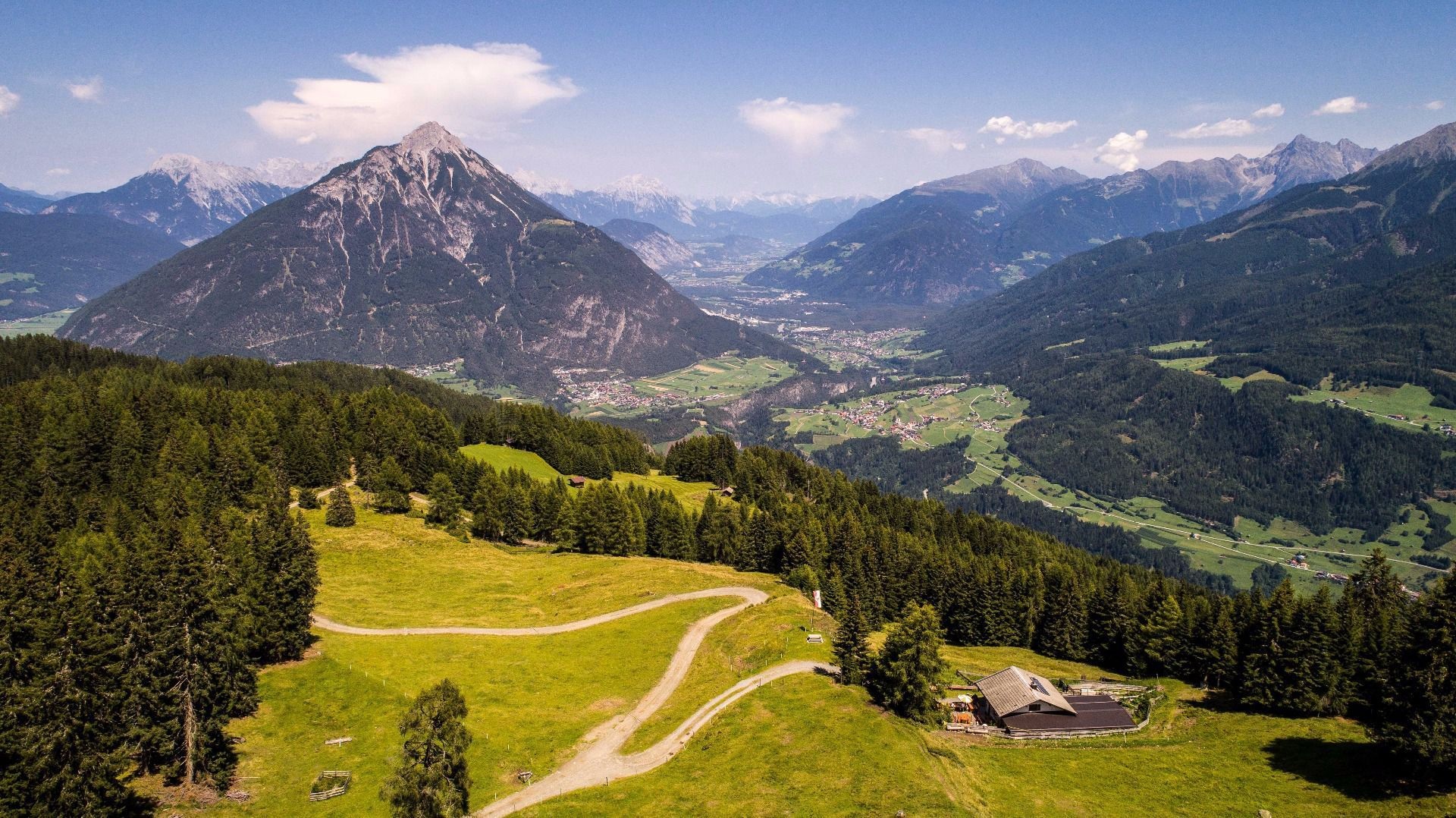
Venetalm (1.994 m)
1.9 km away, in Wenns
An alpine pasture at 1,994 m on the Venet, the ridge separating the Pitztal from the Inn valley.
Hochaster Alm (1.756 m)
2.2 km away, in Arzl im Pitztal
An alpine pasture at 1,756 m above Wenns, on the way up to the Venet.
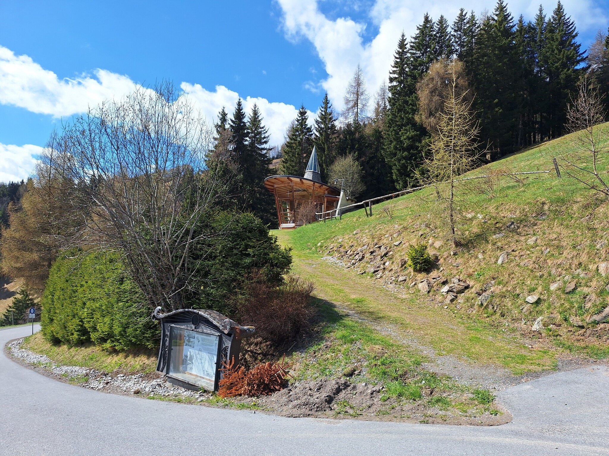
Meditationskapelle
3 km away, in Arzl im Pitztal
A modern meditation chapel on the slope above Arzl, built as a quiet viewpoint rather than for services.
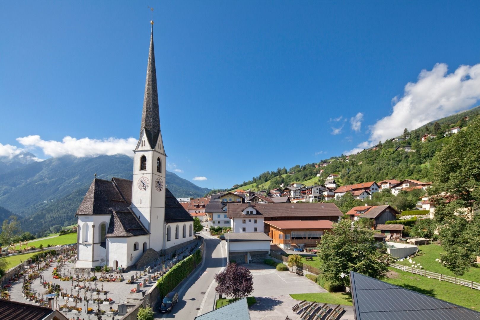
Pfarrkirche zu Ehren des Hl. Evangelisten Johannes in Wenns-Dorf
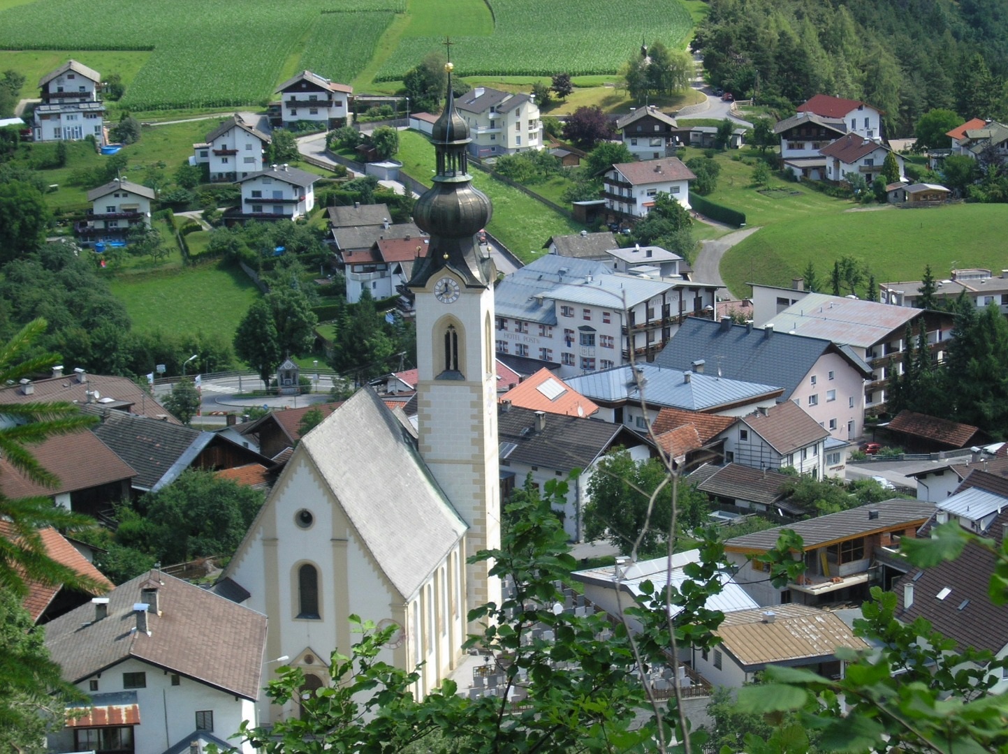
3.8 km away, in Wenns
The parish church of Wenns, dedicated to St John the Evangelist.
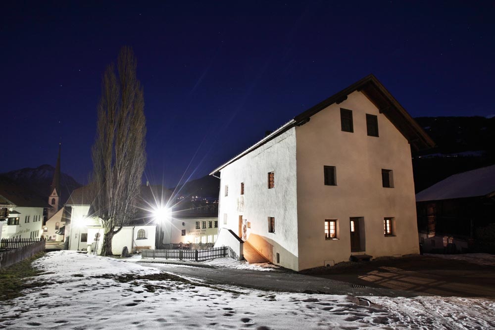
Museum Stamser Haus
3.9 km away, in Wenns
A local museum in a historic house at Wenns, covering the valley's farming and building traditions.
Larcher Alm (1.814 m)
4.2 km away, in Wenns
An alpine pasture at 1,814 m on the Venet slope above Wenns.
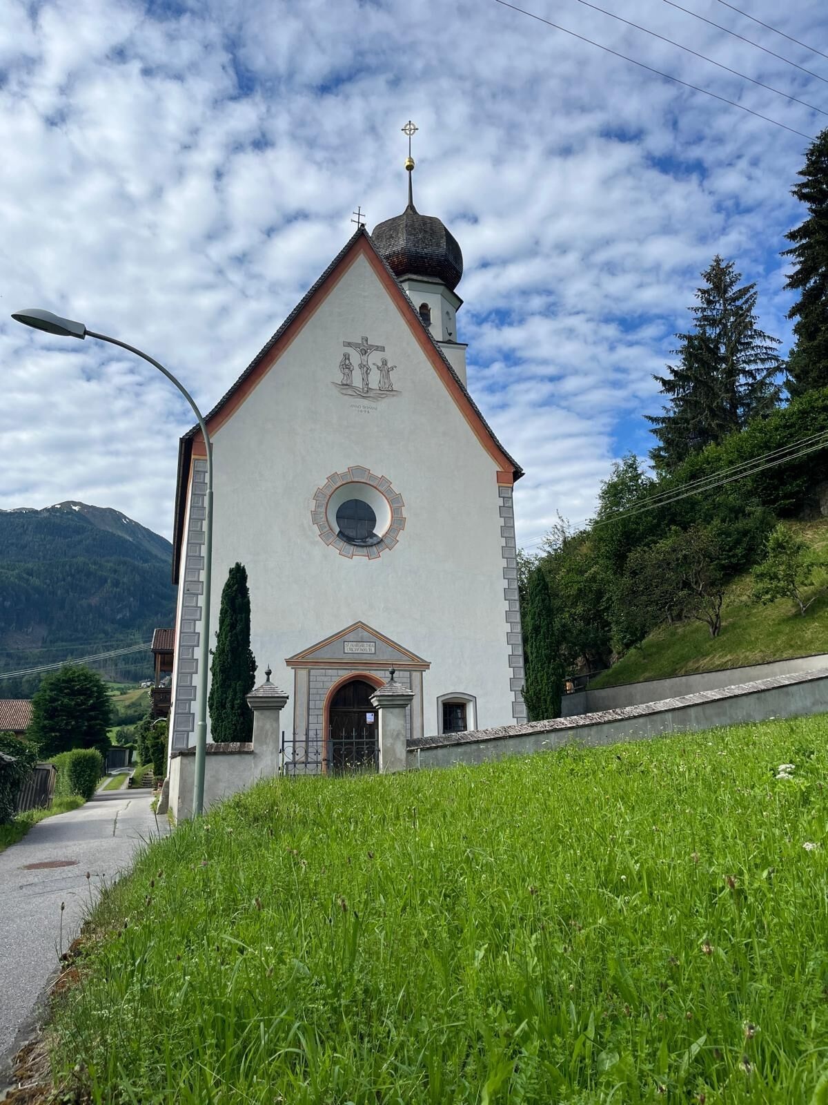
Margarethen Kirche Wenns
4.3 km away, in Wenns
A second, older church at Wenns dedicated to St Margaret, on the southern edge of the village.
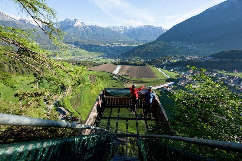
Aussichtsplattform Adlerhorst
4.7 km away, in Arzl im Pitztal
A viewing platform above Arzl, cantilevered over the slope with a view down the Inn valley.
Getreidemühle im Weiler Arzl-Ried
4.9 km away, in Arzl im Pitztal
A restored grain mill in the hamlet of Ried above Arzl, still turned by its own water channel.
Wallfahrtskapelle zu Ehren Unserer Lieben Frau Mariahilf in Arzl-Leins
4.9 km away, in Arzl im Pitztal
A pilgrimage chapel at Leins above Arzl, dedicated to Our Lady of Succour.
Pfarrkirche zu den Hl. Ingenuin und Albuin in Arzl Dorf
5 km away, in Arzl im Pitztal
The parish church of Arzl, dedicated to the Bishops Ingenuin and Albuin.
Alpine Coaster
5.5 km away, in Imst
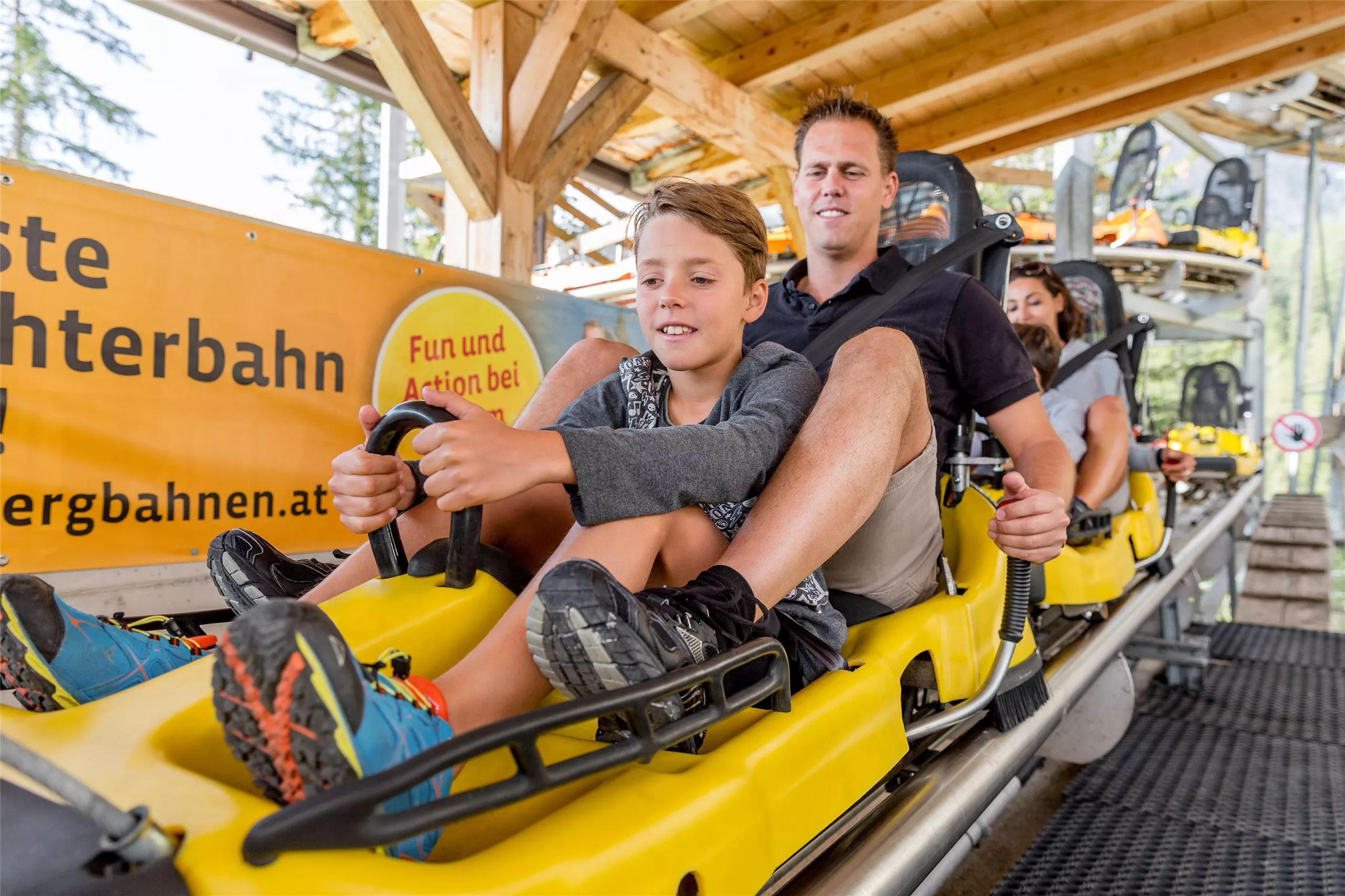
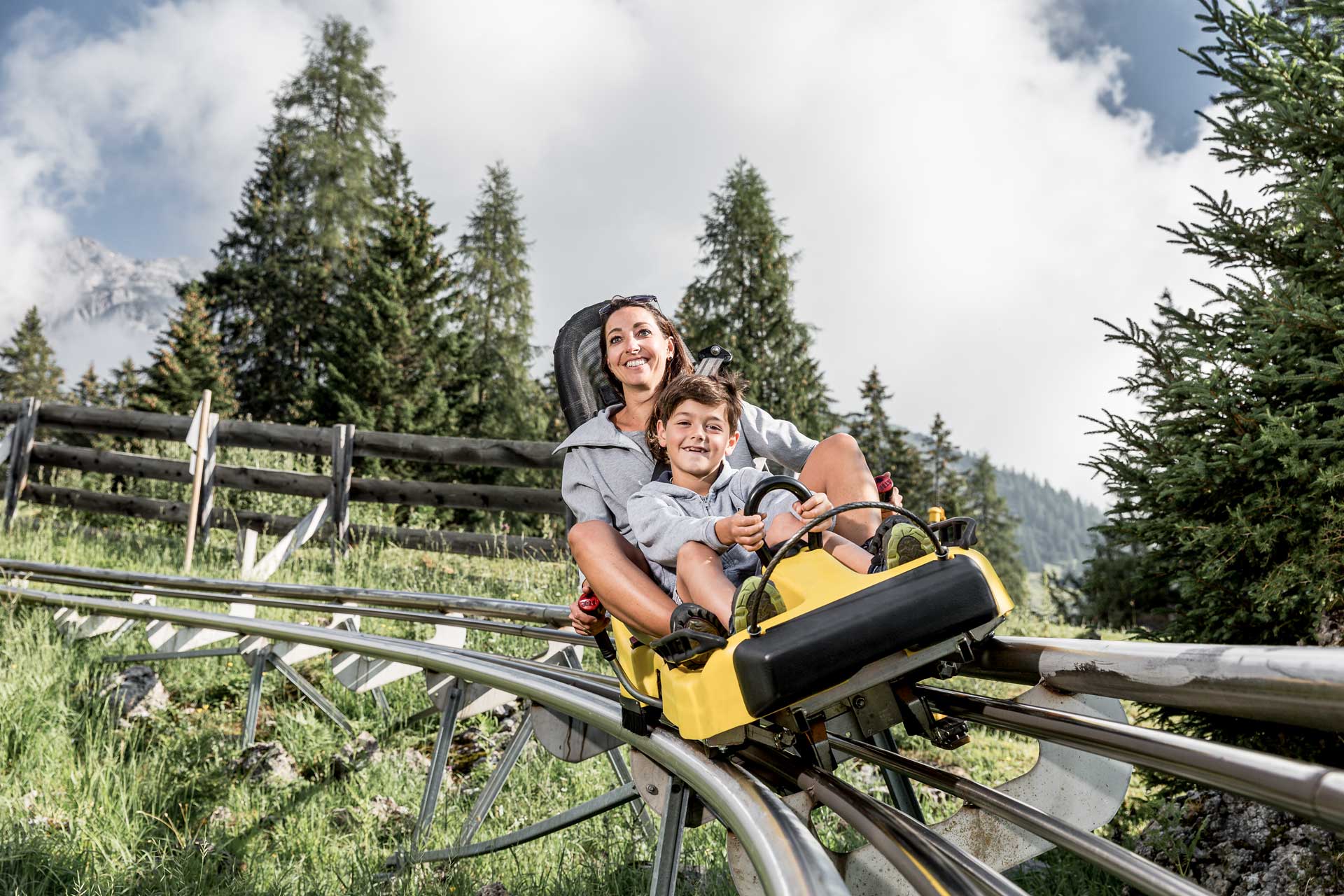
A rail-mounted toboggan run at Hoch-Imst above Imst, open in summer and winter, descending the hillside in long curves.
Alpine Coaster Imst
5.6 km away, in Imst
A rail-mounted toboggan run at Hochimst above Imst, descending the mountainside in banked curves and spirals.
 Viewpoint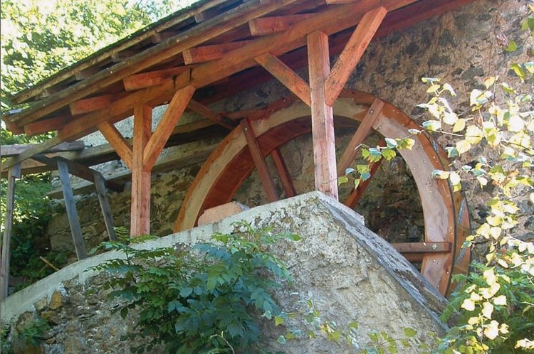
 Historic site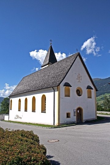
Nothing of this kind in Imsterberg.
Routes
Bergwiesen
An easy 6.5 km round across the mountain meadows of Imsterberg, with 300 m of climbing.
- 6.5 km
- Distance
- 306 m
- Ascent
- 2 h 16 min
- Duration
Abschnitt 2a: Kronburg – Imsterberg
The 2a branch of the Starkenberger Panoramaweg, contouring from the Kronburg above the Inn to Imsterberg on wooded terraces and farm lanes.
- 11.2 km
- Distance
- 435 m
- Ascent
- 3 h 45 min
- Duration
- 2
- Check-ins
Jakobsweg
Stage 11 of the Way of St James through Tirol, 27.6 km from Roppen down the Inn valley to Zams, passing the Gasthof Kronburg.
- 27.6 km
- Distance
- 975 m
- Ascent
- 8 h 49 min
- Duration
- 7
- Check-ins
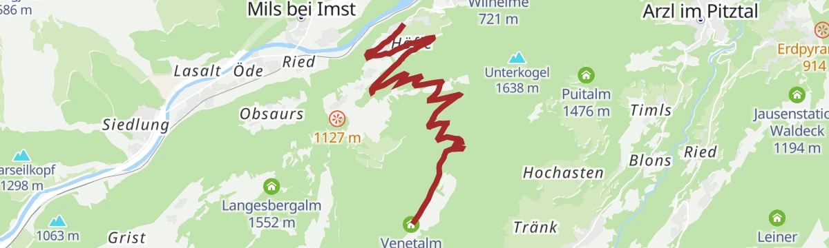
Venetalm
A 919 m snowshoe climb over snow-covered meadows to the Venetalm above Imsterberg.
- 5.6 km
- Distance
- 919 m
- Ascent
- 0 m
- Descent
- 2 h 39 min
- Duration
- 5
- Check-ins
Via Claudia Augusta
A long ride over the Fernpass at 1,215 m, passing the Weißensee and the lakes at Fernstein on the way down.
- 48.5 km
- Distance
- 685 m
- Ascent
- 4 h 50 min
- Duration
- 29
- Check-ins
Piller Runde
A long road loop over the Pillerhöhe, dropping to Prutz in the Inn valley and climbing again to Fiss, with over 2,000 m of ascent.
- 83.9 km
- Distance
- 2 090 m
- Ascent
- 9 h 25 min
- Duration
- 33
- Check-ins
Dorfrunde Imsterau
A flat 3.3 km round over the fields and meadows of the Imsterau, quickly walked.
- 3.3 km
- Distance
- 14 m
- Ascent
- 49 min
- Duration
Abschnitt 3a: Imsterberg – Imst
A 12.5 km water-themed stage from Imsterberg down to Imst, with 407 m of ascent.
- 12.5 km
- Distance
- 407 m
- Ascent
- 4 h 1 min
- Duration
Imsterberger Venetalm
A demanding 1,099 m climb from Imsterberg up to the Venetalm, with the Gamssteinhütte close by.
- 8.8 km
- Distance
- 1 100 m
- Ascent
- 4 h 27 min
- Duration
- 5
- Check-ins
Gravelrunde Venetmassiv
A gravel loop around the Venet massif crossing the Pillerhöhe at 1,559 m, with the Gachenblick and the Gasthof Kronburg on the way back.
- 56.6 km
- Distance
- 1 203 m
- Ascent
- 6 h 11 min
- Duration
- 20
- Check-ins
 Pillerhöhe 1 590 m
 Pillerhöhe 1 559 m
 Gachenblick 1 576 m
- Gasthof Kronburg 938 m
- Info-Point Pitztal 750 m
 Zweiter Weiher 920 m
- +2
Mieminger Plateau Runde
A near-100 km road round out of the Inn valley, climbing to the terrace villages above Mieming and past Gasthaus Arzkasten.
- 97.1 km
- Distance
- 1 138 m
- Ascent
- 9 h 41 min
- Duration
- 12
- Check-ins
Große Imsterberger Dorfrunde
The longer of the two village rounds at Imsterberg, 2.8 km with 133 m of climbing.
- 2.8 km
- Distance
- 105 m
- Ascent
- 55 min
- Duration
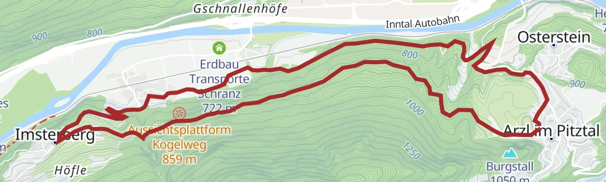
Rundwanderung Imsterberg
A 12.7 km round from Arzl over to Imsterberg and back, with a modest 353 m of climbing.
- 12.7 km
- Distance
- 268 m
- Ascent
- 3 h 37 min
- Duration
Imsterberger Venetrunde (Nr. 604|640|614)
A circuit on the Venet from Imsterberg, climbing to the Venetalm at 1,980 m by the Gamsstein hut.
- 36.6 km
- Distance
- 1 382 m
- Ascent
- 4 h 33 min
- Duration
- 8
- Check-ins
Kleine Imsterberger Dorfrunde
The shorter of the two village rounds at Imsterberg, 2.1 km with under 100 m of ascent.
- 2.1 km
- Distance
- 96 m
- Ascent
- 44 min
- Duration
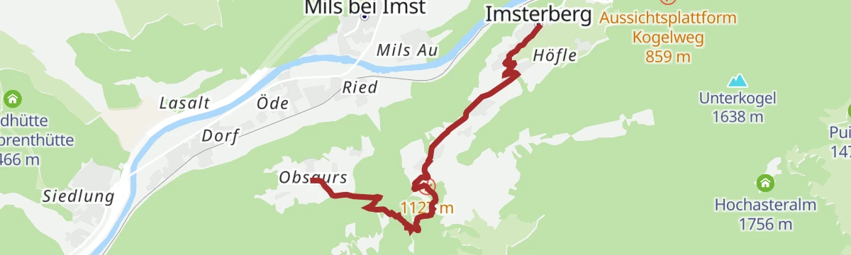
Rüsselbach
A 4.7 km climb along the Rüsselbach on the pilgrims' route to Obsaurs, with 390 m of ascent.
- 4.7 km
- Distance
- 319 m
- Ascent
- 1 h 55 min
- Duration
Imsterberger Venetalm (Nr. 604)
A steep forest-road climb above Imsterberg, gaining almost 1,000 m to the Venetalm, with the Gamssteinhütte a little below it.
- 9.8 km
- Distance
- 1 113 m
- Ascent
- 1 h 45 min
- Duration
- 5
- Check-ins
Lochmühle
A 3.7 km walk from Imsterberg down to Schönwies by way of the Lochmühle.
- 3.7 km
- Distance
- 156 m
- Ascent
- 1 h 28 min
- Duration
Hoch über Landeck (Tobadill)
A long circuit above the Inn valley between Landeck-Zams and Schönwies, starting from the tourist office in Tirol West.
- 61.1 km
- Distance
- 577 m
- Ascent
- 5 h 58 min
- Duration
- 4
- Check-ins
Milser Au
Level walk through the riverside floodplain woods along the Inn near Mils bei Imst — barely five metres of climbing over the whole round.
- 4.1 km
- Distance
- 0 m
- Ascent
- 57 min
- Duration
Wasserkraftwerk
An easy 5.6 km walk from Imsterberg to the hydro power station, with 208 m of climbing.
- 5.6 km
- Distance
- 201 m
- Ascent
- 1 h 48 min
- Duration






No routes of this kind in Imsterberg yet.
Planning a trip to Imsterberg?
Everything else Tyrol has, in one place


Take Imsterberg with you into the mountains
Every route on this page with 3D terrain, GPX navigation and offline maps — including the valleys with no signal.
Data sources
- Official website: imst.at ↗
- Routes and highlights: Imst Tourismus, Tourismusverband Pitztal, Serfaus-Fiss-Ladis, St. Anton am Arlberg
- Published as open data by the tourist boards named above.
- Region summary generated from the board's own material.
