


















Curated by Imst Tourismus
Imst
District capital of the Tiroler Oberland below the Lechtaler Alpen, its Schemenlaufen carnival on UNESCO's intangible-heritage list and the Rosengartenschlucht gorge behind the town.
Photo: Bbb · CC BY-SA 3.0 licence
- 17Highlights
- 108Routes
- Featured summit · Tschirgant
Highlights
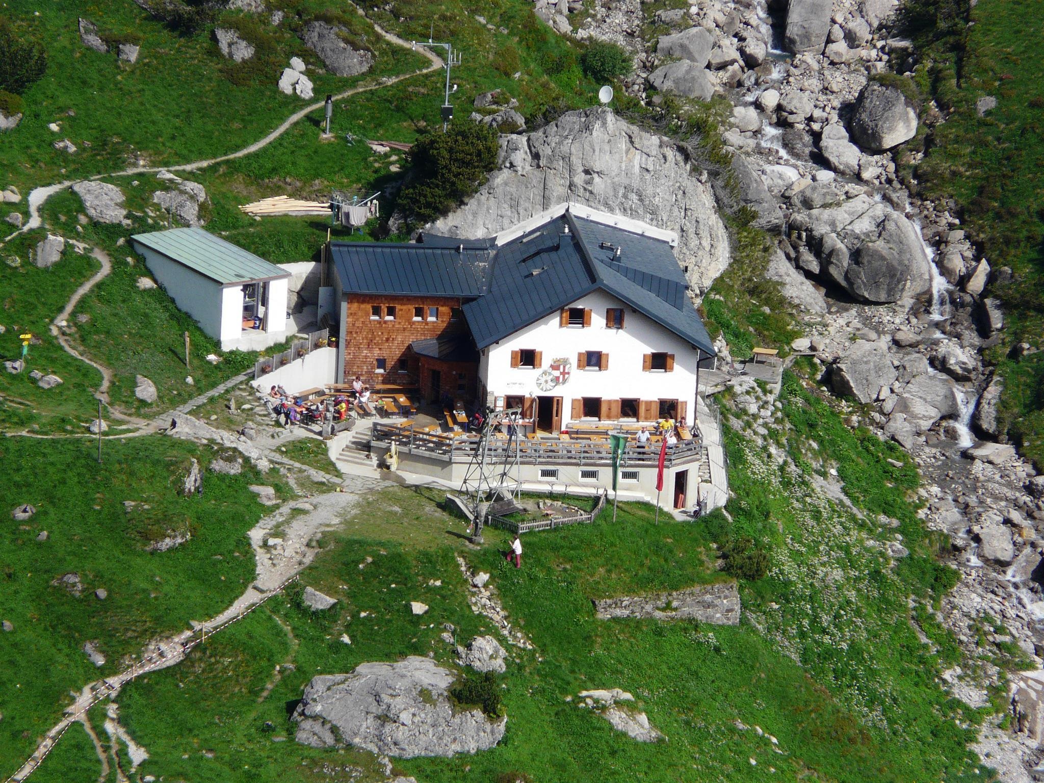
Anhalter Hütte
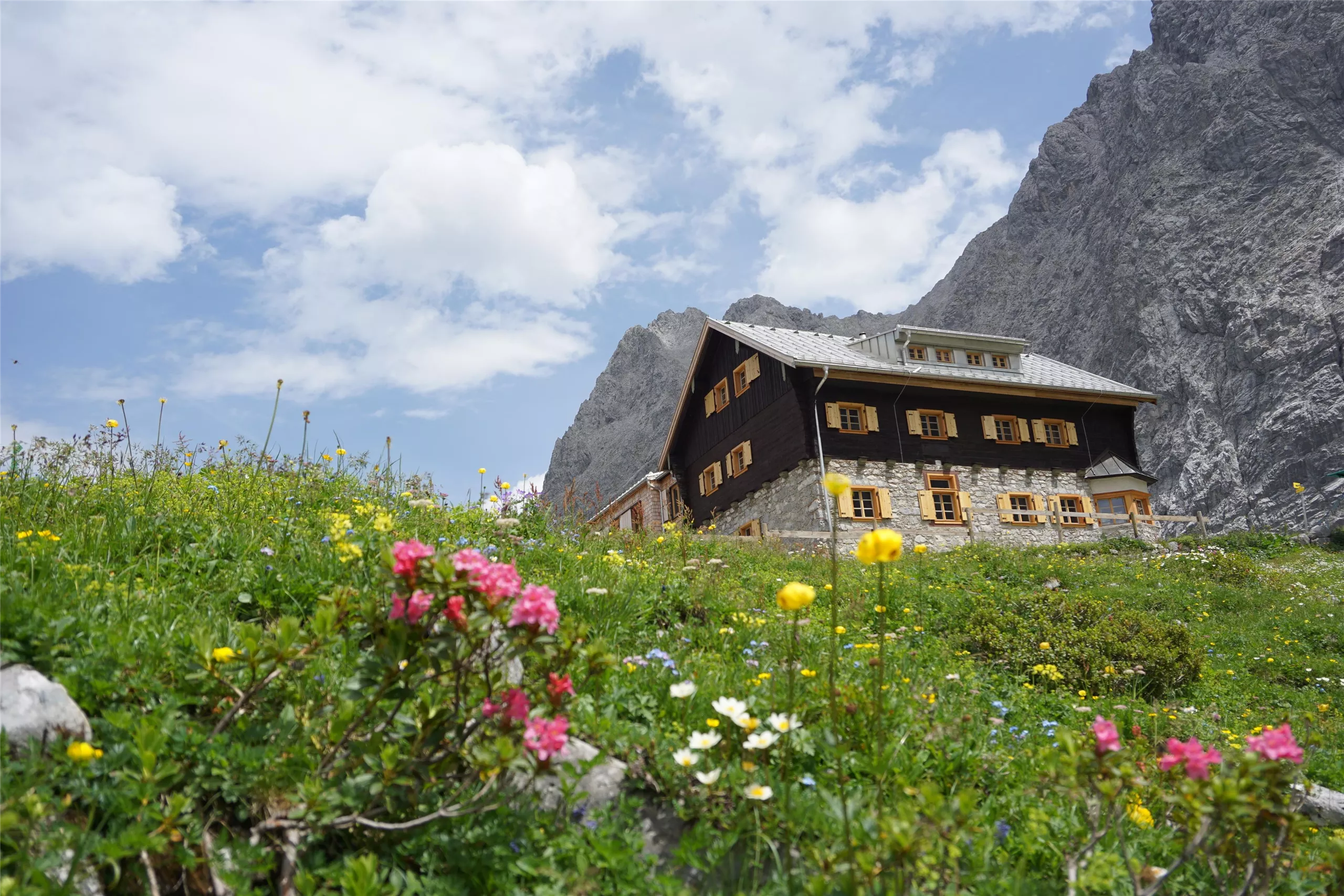
An alpine club hut in the Lechtal Alps reached from the Hahntennjoch road near Imst, offering meals and overnight beds.
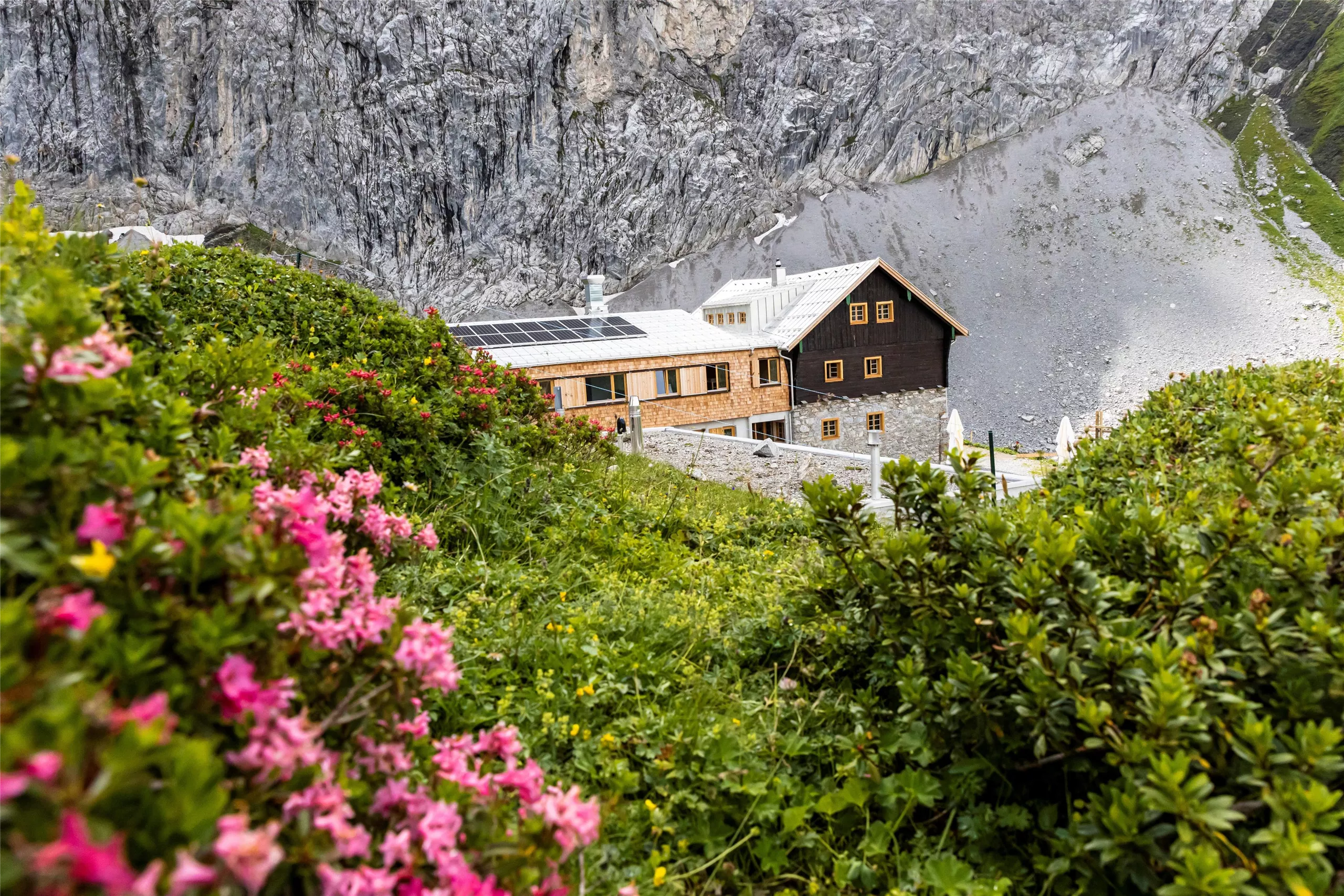
Hanauer Hütte 1.922 m
An alpine club refuge at 1,922 m above the Pfafflar area, a base for the rock summits and lake basins of the eastern Lechtal Alps.
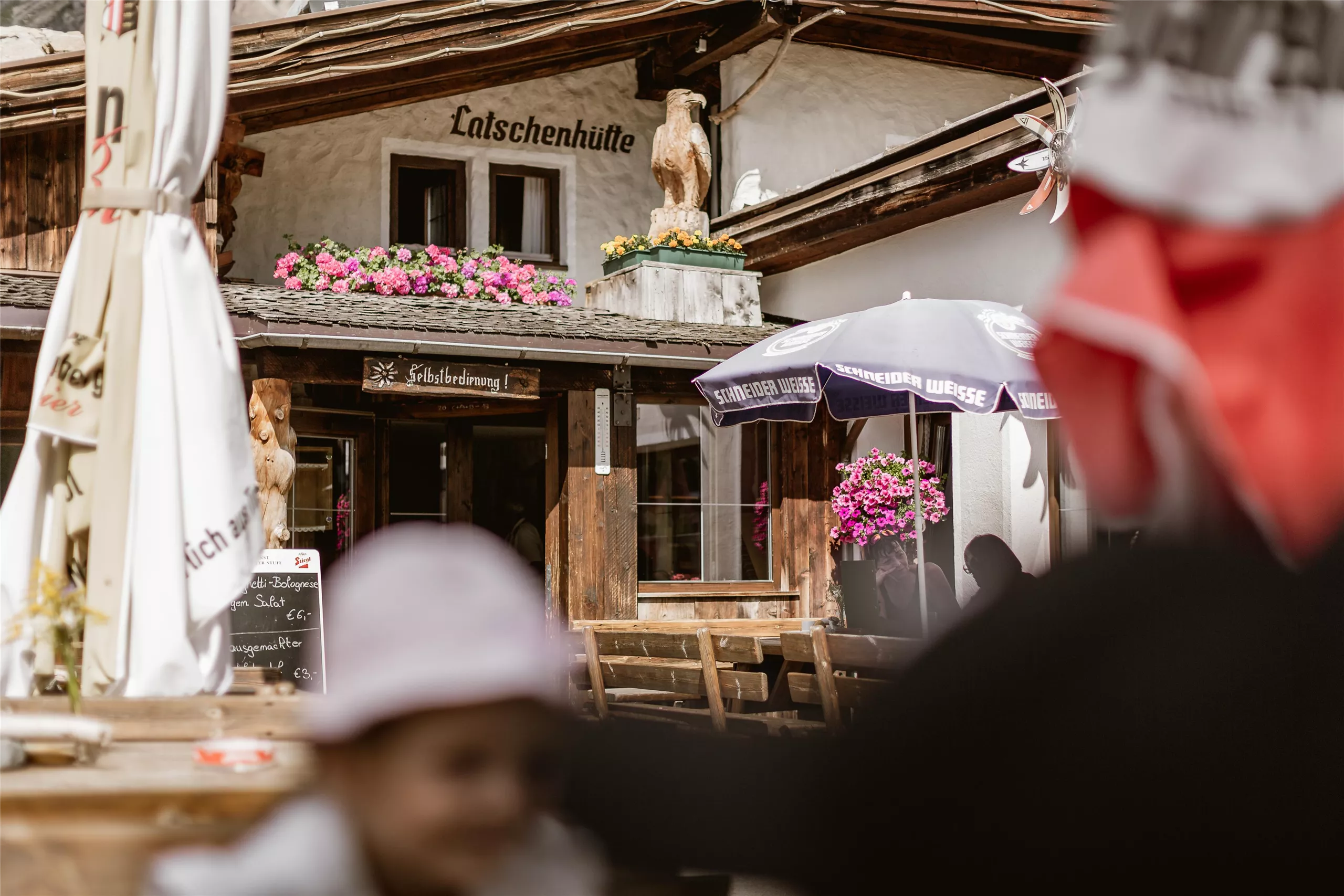
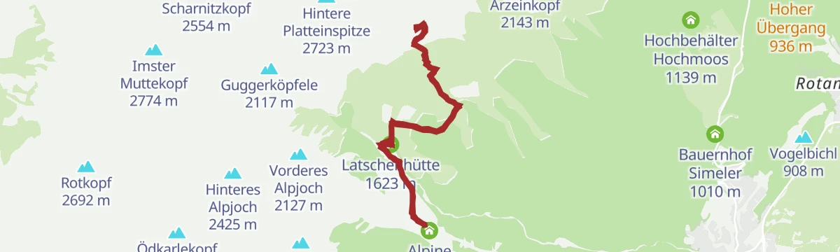
Latschenhütte
A mountain hut in the dwarf-pine zone above Imst (827 m), a stop on walks into the Muttekopf area of the Lechtal Alps.
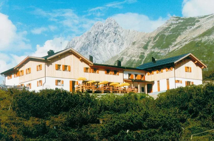
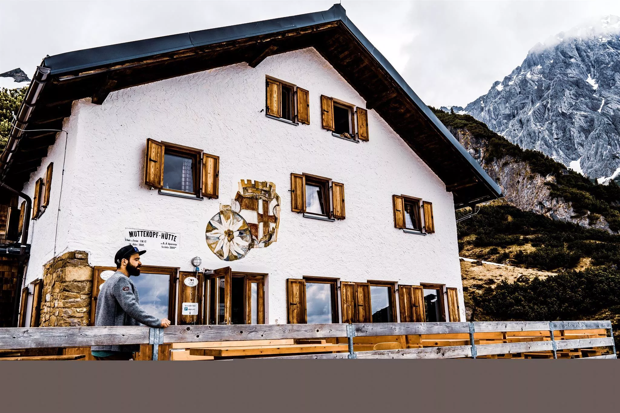
Muttekopfhütte 1.934 m
An alpine club refuge at 1,934 m below the Muttekopf, a base for climbing and walking in the reddish rock scenery of the eastern Lechtal Alps.
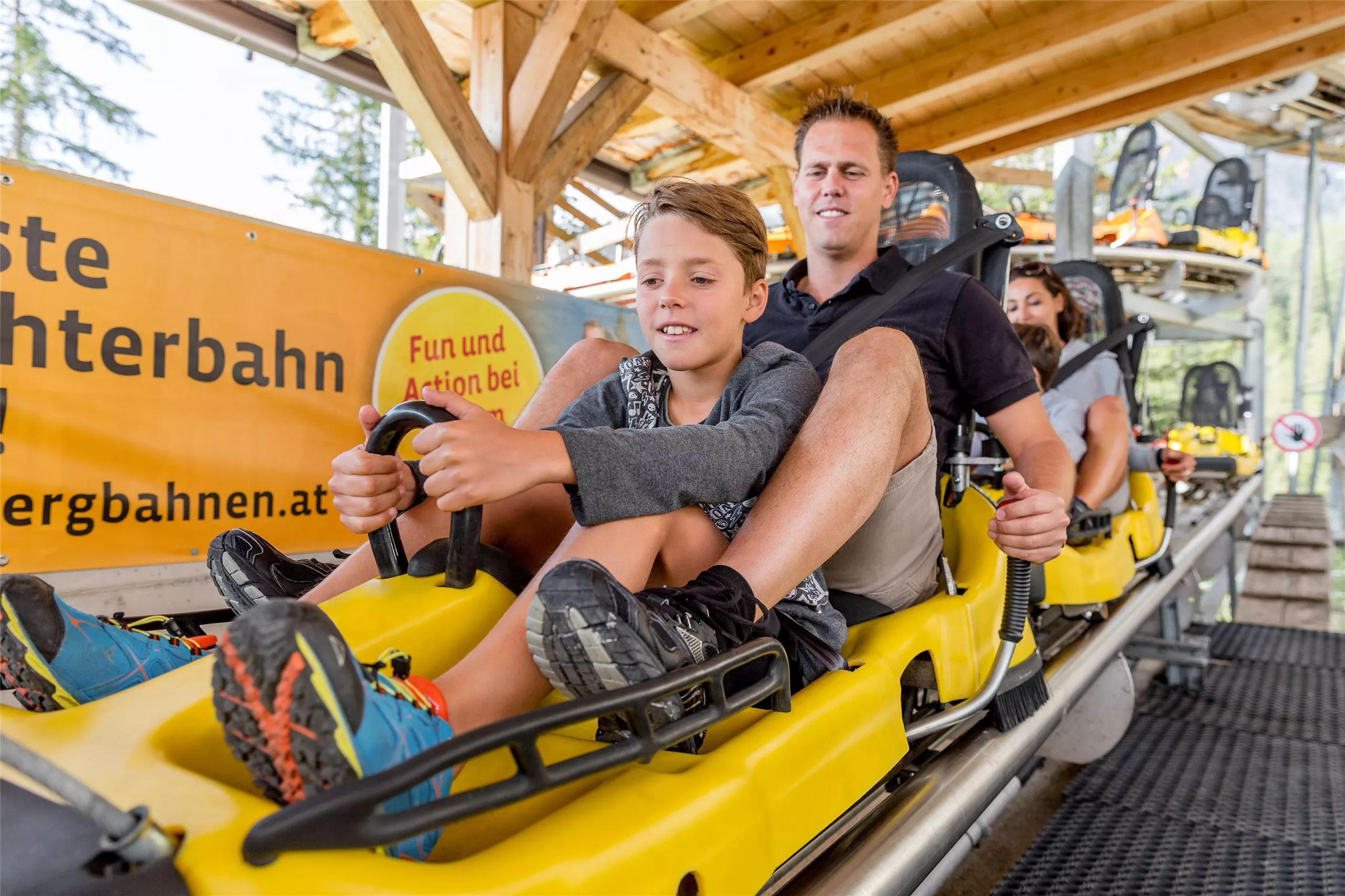
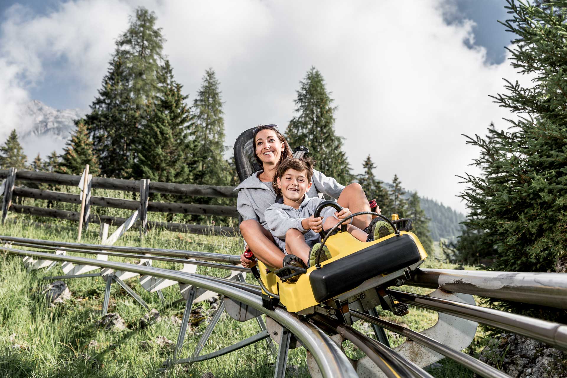
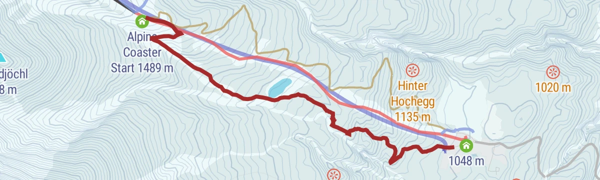
Alpine Coaster
A rail-mounted toboggan run at Hoch-Imst above Imst, open in summer and winter, descending the hillside in long curves.
Alpine Coaster Imst
A rail-mounted toboggan run at Hochimst above Imst, descending the mountainside in banked curves and spirals.
Hanauer Klettersteig 1.770 m
A via ferrata at about 1,770 m near the Hanauer Hütte above Boden in the Bschlabertal, a protected route in the Lechtal Alps.
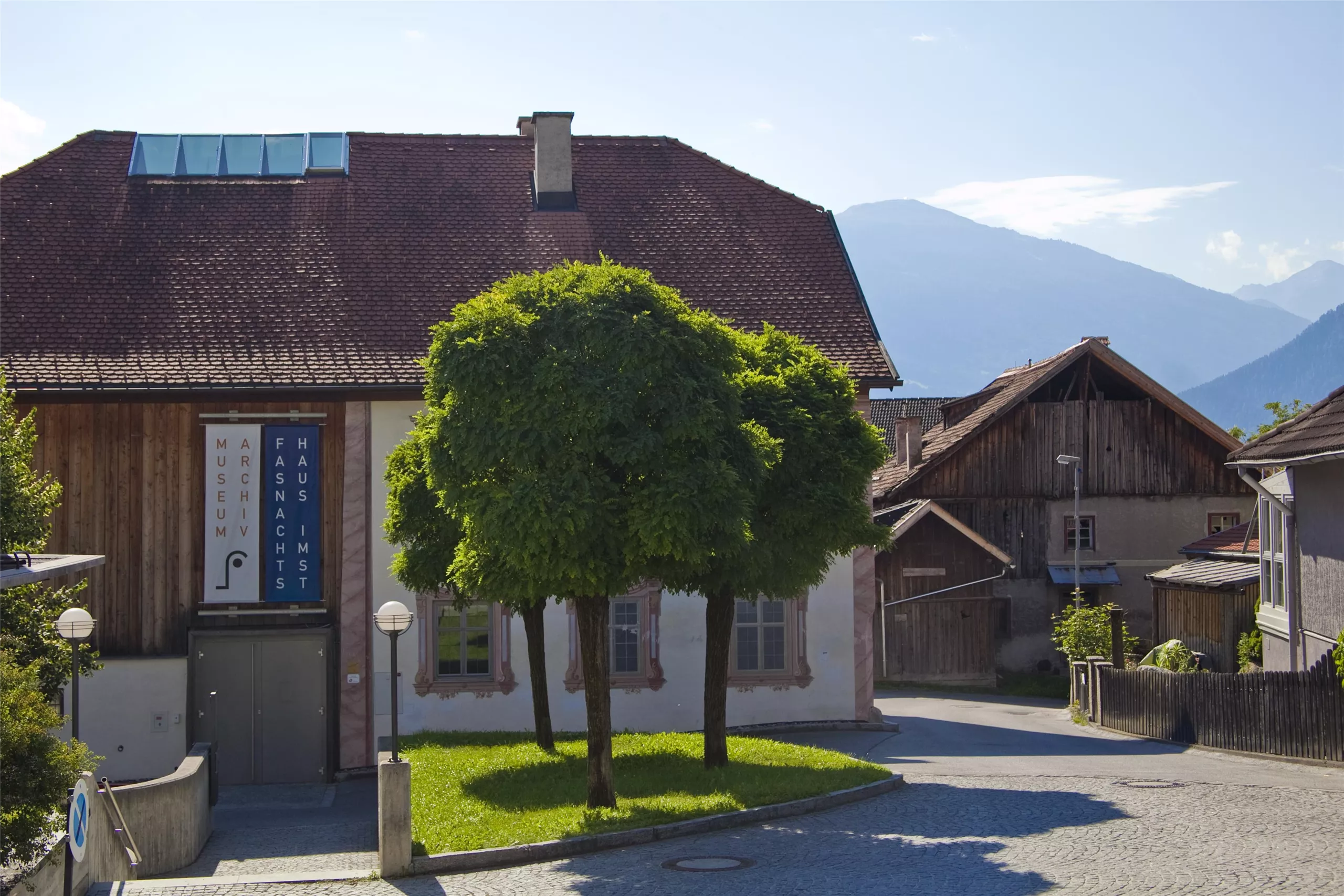
Haus der Fasnacht
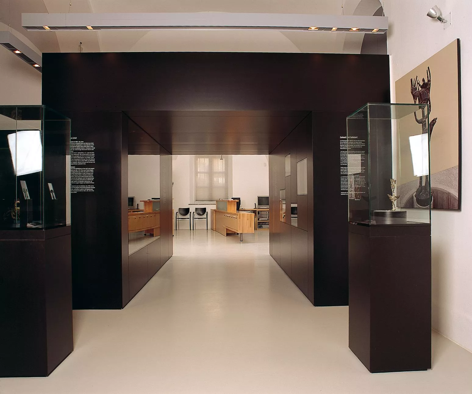
A museum in Imst on the town's Schemenlaufen carnival, a masked procession inscribed on UNESCO's intangible cultural heritage list.
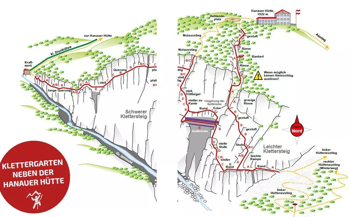
Klettergarten Hanauer Hütte
A climbing garden beside the Hanauer Hütte in the Lechtal Alps above Pfafflar, with bolted routes a short walk from the hut.
Klettergarten Heiterwand
A climbing area on the Heiterwand, a long rock wall of the Lechtal Alps reached from the Bschlabs side, with bolted routes.
Museum im Ballhaus
The town museum of Imst, housed in the Ballhaus, covering local history from the market town's trades to alpine daily life.
Städtische Galerie Theodor von Hörmann
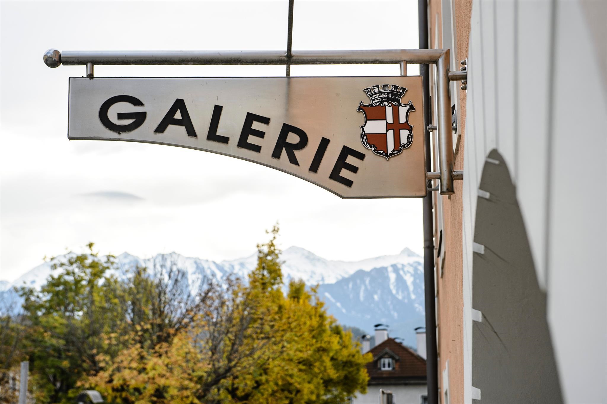
The municipal gallery of Imst, named after the painter Theodor von Hörmann, born in the town in 1840, with changing exhibitions.
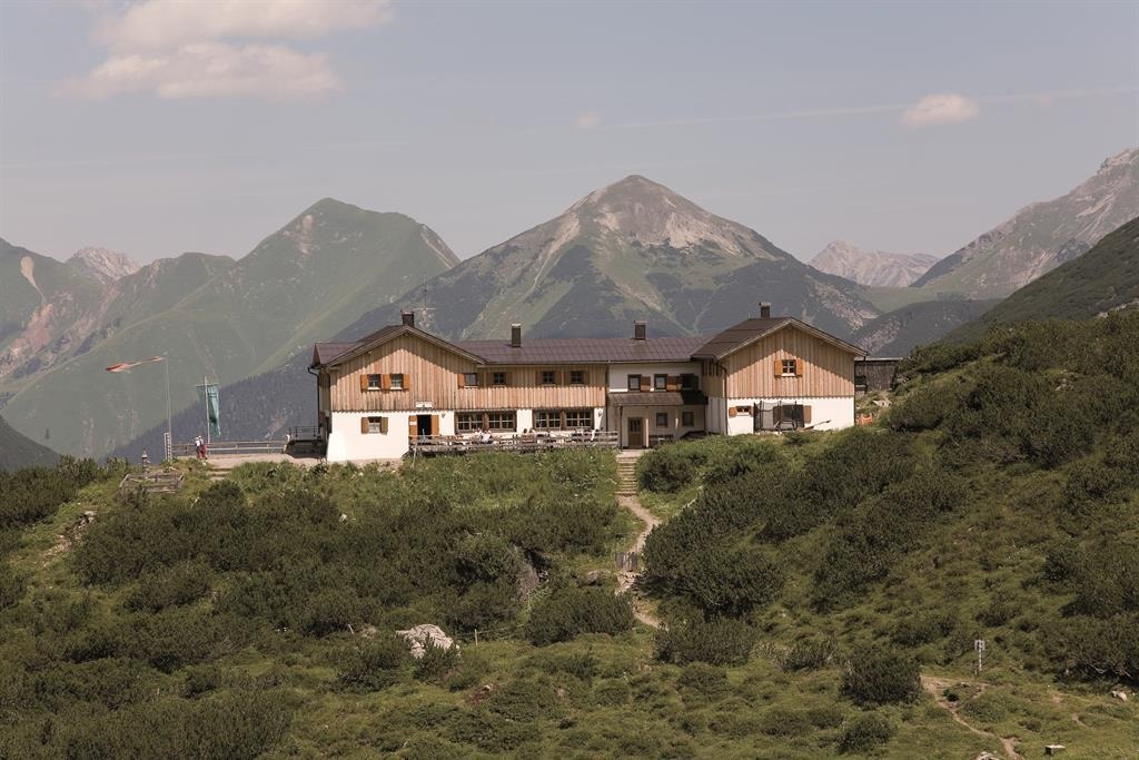
Anhalter Hütte 2.040 m
An alpine club refuge at 2,040 m below the Heiterwand near Pfafflar, a base for crossings and summits in the eastern Lechtal Alps.
Hanauer Hütte
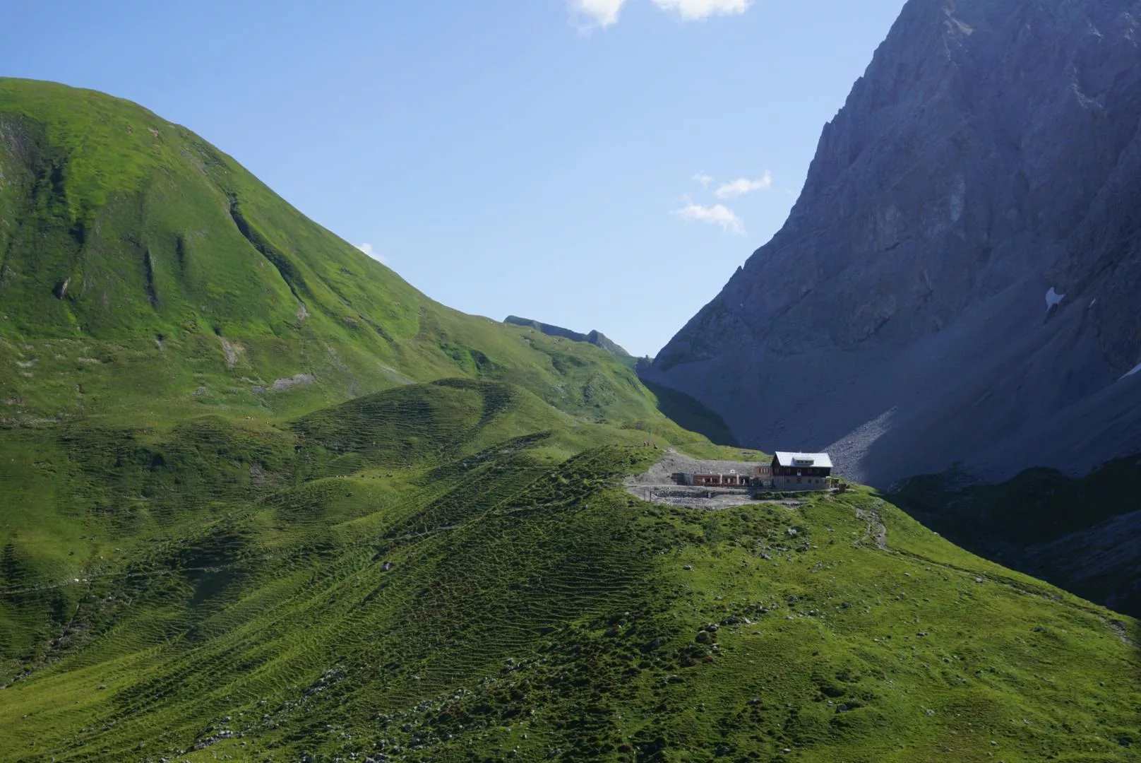
An alpine club hut in the Lechtal Alps above the Angerletal, a base for walks and climbs among the Dremel and Parzinn peaks.
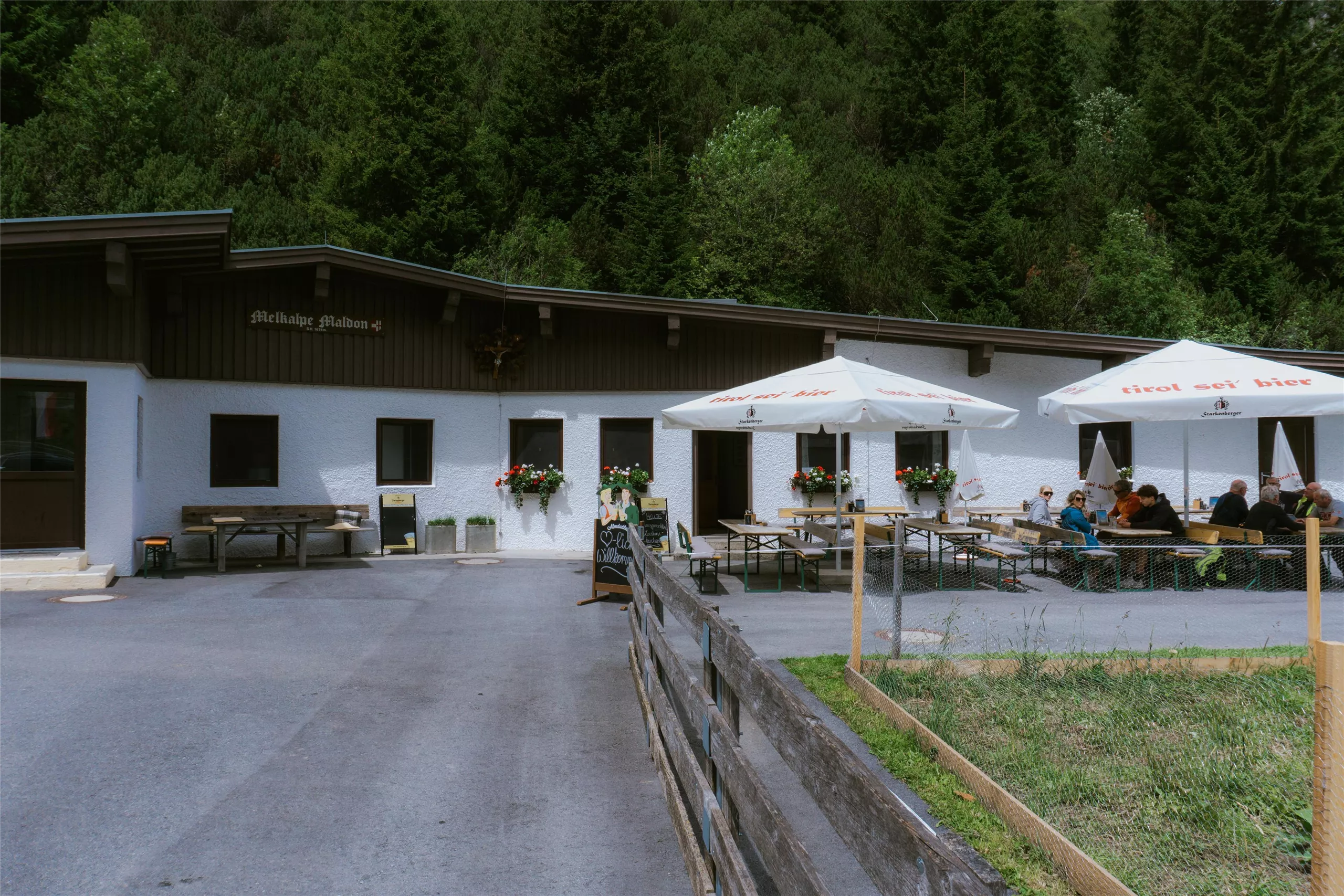
Maldonalm
An alpine pasture hut in the mountains northwest of Imst (827 m), reached on foot from the town and its surrounding valleys.
Muttekopfhütte
A mountain hut above Imst below the Muttekopf in the Lechtal Alps, offering meals and overnight beds for climbers and walkers.
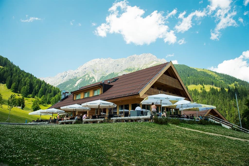
UAlm
An easily reached pasture hut above Imst with a sun terrace, serving hut fare and offering simple overnight accommodation.
Nothing of this kind in Imst.
Routes
50 routes, an even mix of activities · see the rest on imst.at ↗
Wasserfallklettersteig
A short modern sport via ferrata close to the Muttekopfhütte, with only 24 m of climbing on the route itself.
- 44 m
- Distance
- 24 m
- Ascent
- 6 min
- Duration
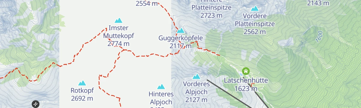
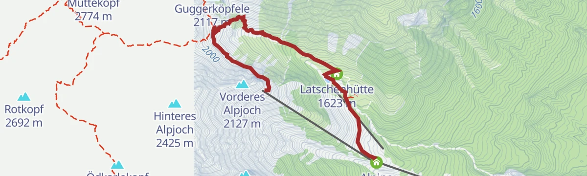
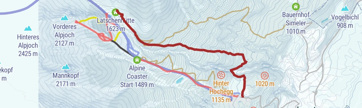
Alpjoch
A ridge walk up to the Vorderes Alpjoch above Hoch-Imst, with the Latschenhütte, Drischlhaus and Muttekopfhütte along the way.
- 5.7 km
- Distance
- 335 m
- Ascent
- 3 h 17 min
- Duration
- 46
- Check-ins
Scharnitzsattel 2.441 m
An 11 km crossing from the Muttekopfhütte over the Scharnitzsattel at 2,441 m towards the Hahntennjoch, taking in the Guggerköpfele.
- 11.1 km
- Distance
- 549 m
- Ascent
- 5 h 37 min
- Duration
- 57
- Check-ins
Drei-Hütten-Tour
A 13 km round over rough ground linking three huts above Imst - the Latschenhütte, the Drischlhaus and the Muttekopfhütte - with 1,120 m of ascent.
- 13.2 km
- Distance
- 1 046 m
- Ascent
- 6 h 38 min
- Duration
- 50
- Check-ins
Ursprungweg
A varied snowshoe route away from the pistes at Hoch-Imst, 427 m of climbing past the reservoir to the Untermarkter Alm.
- 3.0 km
- Distance
- 426 m
- Ascent
- 0 m
- Descent
- 1 h 17 min
- Duration
- 23
- Check-ins
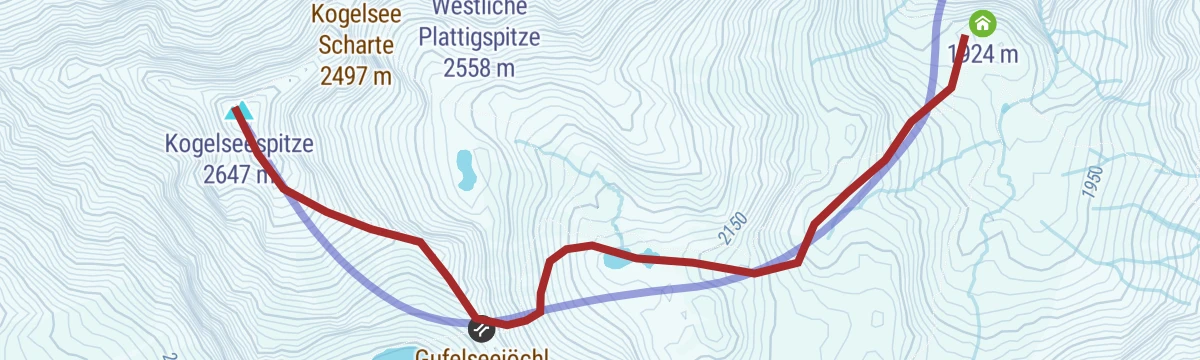
Skitour auf die Kogelseespitze
One of the standard Lechtal ski tours: 1,300 m from the Hanauer Hütte past the Unterer Parzinnsee to the Kogelseespitze, with the Gramais cirques in view from the top.
- 2.7 km
- Distance
- 720 m
- Ascent
- 0 m
- Descent
- 1 h 52 min
- Duration
- 23
- Check-ins
 Kogelseespitze 2 647 m
 Hanauer Hütte 1 922 m
 Gufelseejöchl 2 371 m
 Unterer Parzinnsee 2 162 m
Hachleschlucht (Nr. 619)
A short, easy waymarked forest track running up the gorge above Tarrenz in the Tyrolean Gurgltal.
- 3.5 km
- Distance
- 222 m
- Ascent
- 30 min
- Duration
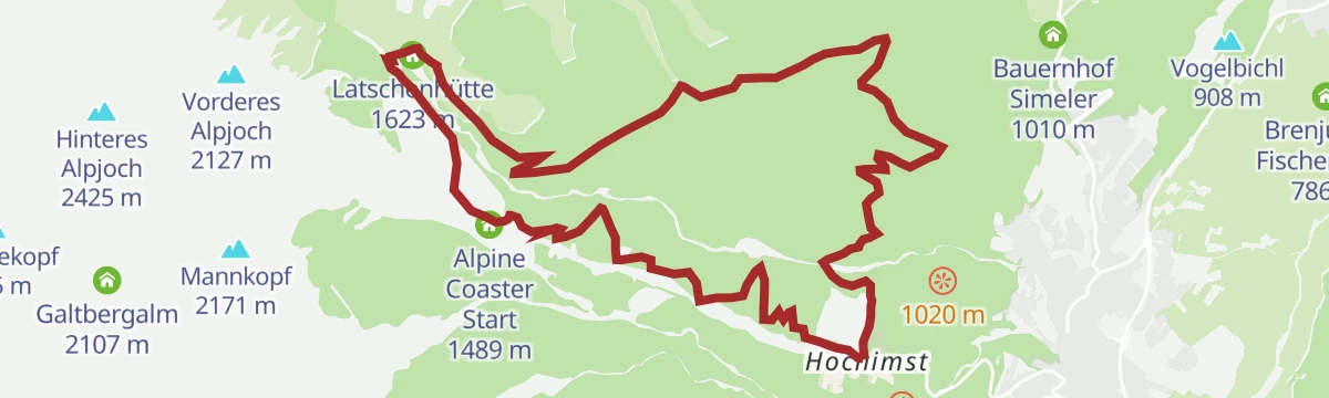
Imster Almenrunde (Nr. 615)
A hut-to-hut circuit above Imst linking the Untermarkter Alm and the Latschenhütte, with the Badesee at the lower end.
- 12.5 km
- Distance
- 642 m
- Ascent
- 1 h 46 min
- Duration
- 31
- Check-ins
Tour zum Rettenbachferner
A very long climb from the Ötztal up towards the Rettenbachferner above Sölden, topping out at the Restaurant Rettenbach at 2,666 m.
- 62.5 km
- Distance
- 2 326 m
- Ascent
- 7 h 5 min
- Duration
- 129
- Check-ins
Piller Runde
A road loop out of the Pitztal that crosses the Pillerhöhe at 1,559 m, dropping to the Inn valley for the ride home.
- 51.2 km
- Distance
- 1 110 m
- Ascent
- 5 h 35 min
- Duration
- 17
- Check-ins
3 Hütten Tour über den Drischlsteig
A near-level panorama link on the Drischlsteig from the Adlerhorst to the Untermarkter Alm, passing the Drischlhaus and the Latschenhütte.
- 4.6 km
- Distance
- 10 m
- Ascent
- 1 h 35 min
- Duration
- 43
- Check-ins
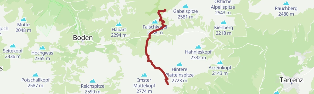
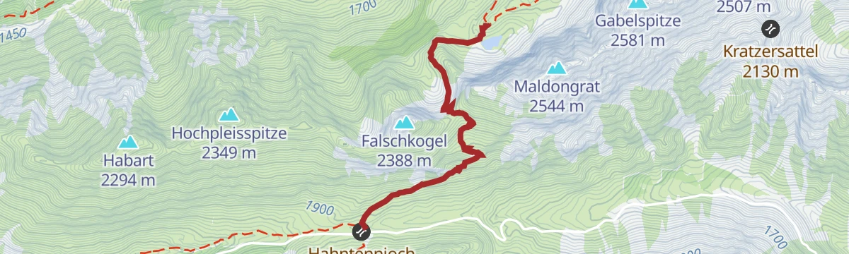
Adlerweg-Etappe 19: Anhalter Hütte – Hanauer Hütte
An Adlerweg stage from the Anhalter Hütte over the Steinjöchle and Hahntennjoch to the Hanauer Hütte, passing the striped timber houses of Pfafflar; the Falschkogel can be added from the pass.
- 12.3 km
- Distance
- 730 m
- Ascent
- 5 h 19 min
- Duration
- 48
- Check-ins
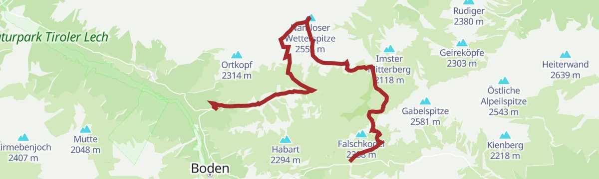
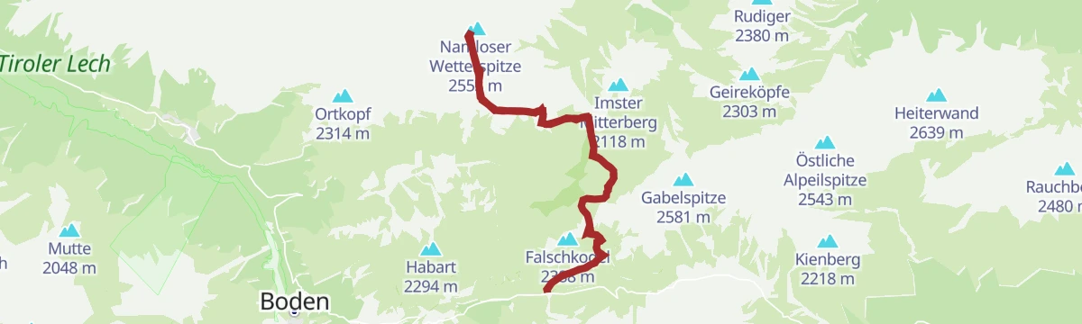
Namloser Wetterspitze
Demanding round from the Hahntennjoch road over the Steinjöchle and past the Anhalter Hütte to the Namloser Wetterspitze, with 1,621 m of climbing.
- 14.9 km
- Distance
- 1 624 m
- Ascent
- 8 h 50 min
- Duration
- 36
- Check-ins
Opferstock
A quiet snowshoe climb of 624 m by way of the Opferstock to the Latschenhütte above Imst.
- 4.5 km
- Distance
- 610 m
- Ascent
- 34 m
- Descent
- 1 h 52 min
- Duration
- 5
- Check-ins
Hoisl's Angerle (Nr. 618)
A short mountain-bike round above Hoch Imst, past the reservoir and the Kurzegg viewpoint, starting at the Untermarkter Alm cable car.
- 10.0 km
- Distance
- 485 m
- Ascent
- 1 h 21 min
- Duration
- 11
- Check-ins
Gurgltal-Fernsteinsee-Runde | Alternativ: Nassereither Alm
A long ride up the Gurgltal to the Fernsteinsee and the Fernpass, with a variant climbing to the Nassereither Alm at 1,734 m.
- 71.0 km
- Distance
- 1 261 m
- Ascent
- 7 h 27 min
- Duration
- 24
- Check-ins
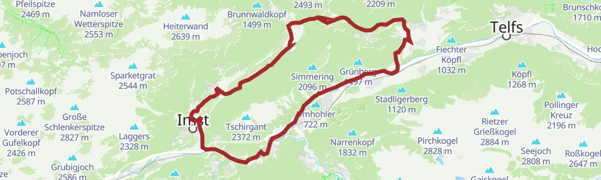
Tschirgantrunde
A road circuit around the massif between the Inn and Ötz valleys, climbing to Gasthaus Arzkasten before the run back down the river.
- 54.3 km
- Distance
- 986 m
- Ascent
- 5 h 45 min
- Duration
- 14
- Check-ins
Jägersteig
A short path through the woods from the Untermarkter Alm to the Latschenhütte, with 137 m of climbing.
- 2.7 km
- Distance
- 137 m
- Ascent
- 60 min
- Duration
- 24
- Check-ins
Muttekopfhütte - Anhalter Hütte
North from the Muttekopfhütte into the Scharnitzkar and over its 2,441 m saddle, down steep ground to the Hahntennjoch at 1,894 m, then over the Steinjöchl to the Anhalter Hütte.
- 7.3 km
- Distance
- 839 m
- Ascent
- 4 h 52 min
- Duration
- 38
- Check-ins
Anhalter Höhenweg / Namloser Wetterspitze
From the Hahntennjoch over the Steinjöchle and Grubigjoch to the Namloser Wetterspitze, 1,483 m of ascent with an alpine finish.
- 15.5 km
- Distance
- 1 483 m
- Ascent
- 9 h 12 min
- Duration
- 34
- Check-ins
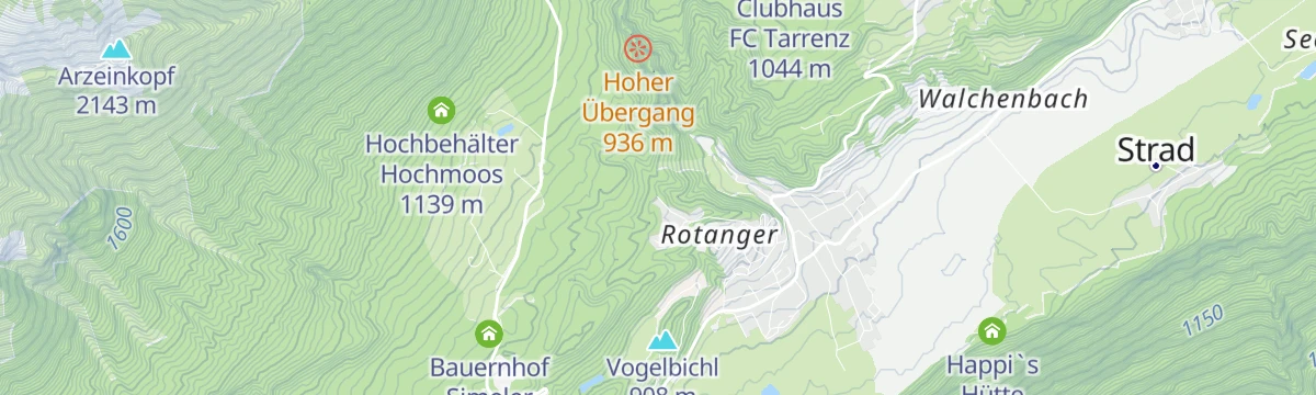
Auhöbrunde (Nr. 622)
A short forest-road circuit on the slopes above Imst, running past the Bauernhof Simeler at just over 1,000 m.
- 7.5 km
- Distance
- 339 m
- Ascent
- 59 min
- Duration
Gravelrunde Tschirgantmassiv
A gravel circuit right around the Tschirgant massif, passing the Rafting Alm on the Inn and the mouth of the Pitztal.
- 56.0 km
- Distance
- 691 m
- Ascent
- 5 h 37 min
- Duration
- 20
- Check-ins
Mieminger Plateau Runde
A near-100 km road round out of the Inn valley, climbing to the terrace villages above Mieming and past Gasthaus Arzkasten.
- 97.1 km
- Distance
- 1 138 m
- Ascent
- 9 h 41 min
- Duration
- 12
- Check-ins
Jägersteig zur Latschenhütte
A 2.8 km hunters' path from the Untermarkter Alm up to the Latschenhütte, 138 m of climbing and walkable on snowshoes in winter.
- 2.8 km
- Distance
- 138 m
- Ascent
- 1 h
- Duration
- 24
- Check-ins
Plattigsteig
From the mid-station at Hoch-Imst, a 583 m climb on the Plattigsteig past the Latschenhütte to the Muttekopfhütte.
- 8.4 km
- Distance
- 583 m
- Ascent
- 3 h 53 min
- Duration
- 35
- Check-ins
Imster Höhenweg
A demanding high-alpine ridge line over the Laggers, Ödkarlekopf and Pleiskopf by way of the Larsengrat, with 1,782 m of ascent and the Muttekopfhütte on the route.
- 13.0 km
- Distance
- 1 782 m
- Ascent
- 8 h 35 min
- Duration
- 31
- Check-ins
Gravelrunde Venetmassiv
A gravel loop around the Venet massif crossing the Pillerhöhe at 1,559 m, with the Gachenblick and the Gasthof Kronburg on the way back.
- 56.6 km
- Distance
- 1 203 m
- Ascent
- 6 h 11 min
- Duration
- 20
- Check-ins
- Pillerhöhe 1 590 m
- Pillerhöhe 1 559 m
- Gachenblick 1 576 m
- Gasthof Kronburg 938 m
- Info-Point Pitztal 750 m
- Zweiter Weiher 920 m
- +2
Haimingerberg Sattele
A long 68.2 km loop Imst – Haiming – Haimingerberg – Sattele – Ochsengarten – Oetz and back, with 1,415 m of climbing.
- 58.6 km
- Distance
- 2 095 m
- Ascent
- 7 h 11 min
- Duration
Open route Imst TourismusHahntennjoch Passhöhe - Anhalter Hütte
A 3 km walk from the top of the Hahntennjoch pass to the Anhalter Hütte, passing the Steinjöchle and the Kromsee.
- 3.0 km
- Distance
- 339 m
- Ascent
- 1 h 46 min
- Duration
- 23
- Check-ins
- Anhalter Hütte 2 038 m
- Hahntennjoch 1 894 m
- Steinjöchle 2 198 m
- Kromsee 1 995 m
Opferstockweg
A 9.7 km walk from the Opferstock past the Sprisselstein, a rock with its own legend, up to the Latschenhütte.
- 9.6 km
- Distance
- 617 m
- Ascent
- 4 h 11 min
- Duration
- 31
- Check-ins
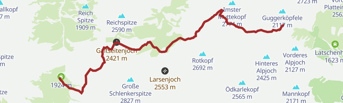
Hanauer Hütte - Muttekopfhütte
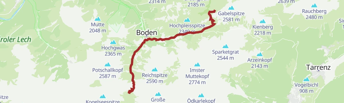
The penultimate stage of the Lechtaler Höhenweg crosses two high gaps, the Galtseitejoch at 2,421 m and the Muttekopfscharte at 2,630 m, before dropping steeply to the Muttekopfhütte.
- 9.7 km
- Distance
- 1 037 m
- Ascent
- 6 h 15 min
- Duration
- 28
- Check-ins
Tschirgantrunde
A circuit of the Tschirgant on valley tracks, passing the Weiße Haus, Camping Rossbach and the turn-off into the Pitztal.
- 56.0 km
- Distance
- 691 m
- Ascent
- 5 h 37 min
- Duration
- 20
- Check-ins
Inntalrunde
A 65.3 km valley loop on the Inn cycle path — Imst, the Inn gorge, Roppen, Haiming, Silz and Stams — with only 581 m of climbing.
- 55.2 km
- Distance
- 901 m
- Ascent
- 5 h 45 min
- Duration
Open route Imst TourismusPfafflar
An easy 4.6 km walk from the Maldon Alm down to the hamlet of Pfafflar near the Hahntennjoch.
- 4.6 km
- Distance
- 172 m
- Ascent
- 1 h 35 min
- Duration
- 21
- Check-ins
Ursprungsweg
A 6.9 km climb from Hoch-Imst to the Untermarkter Alm, passing the reservoir and the bathing lake.
- 6.9 km
- Distance
- 459 m
- Ascent
- 3 h 5 min
- Duration
- 30
- Check-ins
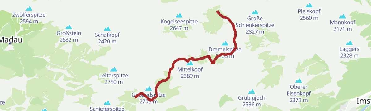
Adlerweg-Etappe 20: Hanauer Hütte – Württemberger Haus
From the Hanauer Hütte over the Dremelscharte and Gebäudjöchl to the Württemberger Haus, high above the Steinsee; the Rosskarscharte can call for hands as well as feet.
- 11.0 km
- Distance
- 1 250 m
- Ascent
- 6 h 56 min
- Duration
- 26
- Check-ins
Gravelrunde Piburger See
A long gravel ride down the Inn valley from Imst to the Piburger See, with the Seehäusl and Seerestaurant at the lake before the return.
- 60.8 km
- Distance
- 1 136 m
- Ascent
- 6 h 28 min
- Duration
- 15
- Check-ins
Anhalter Hütte - Bushaltestelle Plötzigtal
The descent west from the Anhalter Hütte through the Plötzigtal to a bus stop on the Hahntennjoch road, with buses back to Elmen; check the timetable first.
- 6.2 km
- Distance
- 41 m
- Ascent
- 2 h 12 min
- Duration
- 9
- Check-ins
Württemberger Haus - Hanauer Hütte
A hut link from the Württemberger Haus over the Gufelseejöchl to the Hanauer Hütte, passing the Gufelsee, Bittrichsee and the Parzinn lakes on a scenic middle stage.
- 9.5 km
- Distance
- 719 m
- Ascent
- 5 h 16 min
- Duration
- 29
- Check-ins
- Hanauer Hütte 1 922 m
- Württemberger Haus 2 220 m
- Gufelsee 2 282 m
- Gufelseejöchl 2 371 m
- Bittrichsee 2 229 m
- Unterer Parzinnsee 2 162 m
- +2
Vordere Platteinspitze
A 1,043 m ascent from Hoch-Imst by way of the Latschenhütte to the Vordere Platteinspitze.
- 8.8 km
- Distance
- 1 043 m
- Ascent
- 6 h 13 min
- Duration
- 26
- Check-ins
Imster Radmarathon | Panoramarunde (Jubiläum)
A long tour out of Imst over the Holzleitensattel at 1,119 m, looping back down the Inn valley past the mouth of the Pitztal.
- 79.5 km
- Distance
- 727 m
- Ascent
- 7 h 45 min
- Duration
- 14
- Check-ins
Gunglgrün
An easy 5.4 km walk from Hoch-Imst down to Gunglgrün, passing the bathing lake.
- 5.4 km
- Distance
- 138 m
- Ascent
- 1 h 36 min
- Duration
- 7
- Check-ins
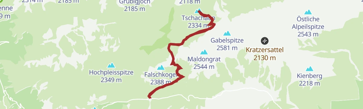
Anhalter Hütte - Tschachaun
From the Anhalter Hütte over the Kromsattel to the Tschachaun, following the line of the Heiterwand; 829 m of ascent.
- 9.6 km
- Distance
- 829 m
- Ascent
- 5 h 16 min
- Duration
- 25
- Check-ins
Abzweigung Namloserstraße - Fallerschein - Namloser Wetterspitze - Anhalter Hütte
Committing round from the Namloser Straße turnoff via Fallerschein toward the Namloser Wetterspitze and the Anhalter Hütte, crossing the Grubigjoch — 1,500 m of climbing.
- 12.4 km
- Distance
- 1 505 m
- Ascent
- 7 h 23 min
- Duration
- 21
- Check-ins
Gravelrunde von Imst zum Fernsteinsee
A gravel run north through the Gurgltal from Imst to the Fernsteinsee, reaching the lake at the Hotel Schloß Fernsteinsee and its campsite.
- 38.4 km
- Distance
- 284 m
- Ascent
- 3 h 40 min
- Duration
- 13
- Check-ins
Hachleschlucht
A 4.5 km walk through two gorges above Imst, the Hachleschlucht and the Rosengartenschlucht.
- 4.5 km
- Distance
- 254 m
- Ascent
- 1 h 48 min
- Duration
- 7
- Check-ins
Zur Latschenhütte über den Opferstock
A 9.7 km approach to the Latschenhütte by way of the Opferstock, gaining 610 m from the Untermarkter Alm.
- 9.7 km
- Distance
- 610 m
- Ascent
- 4 h 10 min
- Duration
- 24
- Check-ins
Boden-Hanauer Hütte-Kogelseescharte-Gramais
A big day linking Boden and Gramais: up to the Hanauer Hütte, over the Kogelsee Scharte past the Unterer Parzinnsee, and down into the far valley.
- 11.3 km
- Distance
- 1 138 m
- Ascent
- 7 h 2 min
- Duration
- 21
- Check-ins
- Hanauer Hütte 1 922 m
- Kogelsee Scharte 2 497 m
- Südliche Bockkarscharte 2 432 m
- Unterer Parzinnsee 2 162 m
Haimingerberg Sattele
A long climb out of the Inn valley over the Haimingerberg to the Sattele at 1,690 m, with Ottos Einkehr shortly below the pass.
- 58.6 km
- Distance
- 2 095 m
- Ascent
- 7 h 11 min
- Duration
- 13
- Check-ins
Rosengartenschlucht
A 4.6 km walk into the Rosengartenschlucht near Imst, with 327 m of climbing and a bathing lake at the start.
- 4.6 km
- Distance
- 303 m
- Ascent
- 2 h 3 min
- Duration
- 7
- Check-ins
No routes of this kind in Imst yet.
The region's own picks

Featured route
Alpjoch
A ridge walk up to the Vorderes Alpjoch above Hoch-Imst, with the Latschenhütte, Drischlhaus and Muttekopfhütte along the way.
Planning a trip to Imst?
Everything else Tyrol has, in one place


Take Imst with you into the mountains
Every route on this page with 3D terrain, GPX navigation and offline maps — including the valleys with no signal.
Data sources
- Official website: imst.at ↗
- Routes and highlights: Imst Tourismus, Lechtal Tourismus, Tourismusverband Pitztal, St. Anton am Arlberg, Innsbruck Tourismus, Serfaus-Fiss-Ladis
- Published as open data by the tourist boards named above.
- Region summary generated from the board's own material.
